
State Road 12 West

 West
West
CR 161 (Point Milligan Road) south converges with SR 12 (Havana Highway) west from Branchville.
11/24/10
11/24/10

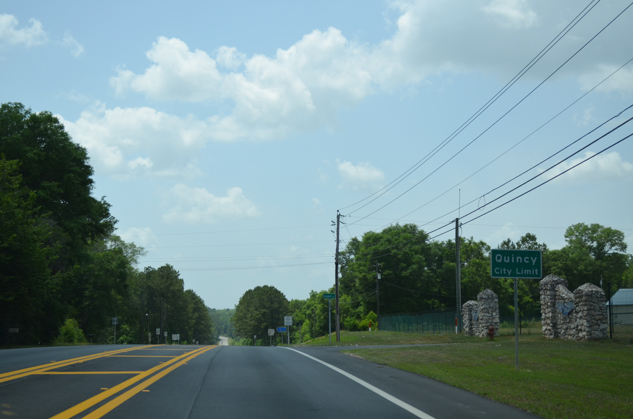
SR 12 (Havana Highway) turns south onto SR 269 at Quincy Municipal Airport (2J9).
05/12/15
05/12/15
05/12/15

SR 12 overlaps with SR 269 for 1.57 miles south to U.S. 90. King Street continues west along former SR 12 to Madison Street (CR 65) in Quincy.
05/12/15
05/12/15
West  South
South
The Quincy Bypass constitutes a controlled access route with two 12 foot travel lanes and 10 foot outside shoulders.
05/12/15
05/12/15

The terrain along SR 12/269 drops 40 feet in elevation south to Quincy Creek.
05/12/15
05/12/15

Tanyard Branch converges with Quincy Creek below the 1,242 foot long span3 on the Quincy Bypass.
05/12/15
05/12/15

SR 12/269 advance southward from Quincy Creek to U.S. 90 at Strong Road.
05/12/15
05/12/15

U.S. 90 travels southeast out of Quincy to Midway and Tallahassee.
05/12/15
05/12/15

05/12/15

SR 12 overlaps with U.S. 90 for 5.95 miles west across the city of Quincy to Douglas City. Strong Road extends west from the Quincy Bypass to CR 268 (High Bridge Road).
05/12/15
05/12/15
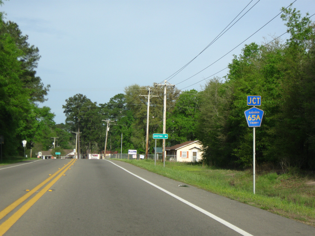
Heading west from U.S. 90 at Douglas City, CR 12 (Greensboro Highway) approaches CR 65A (Dewey Johnson Way) north into Gretna.
04/10/10
04/10/10
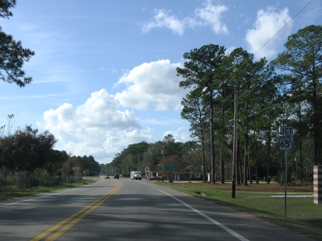
The ensuing intersection along SR 12 west of CR 65A is with SR 65 (Hosford Highway) south.
11/26/10
11/26/10

CR 270A (Flat Creek Road) branches 10.88 miles west from SR 12 (Greensboro Highway) to Flat Creek and CR 269 south of Rosedale.
11/26/10
11/26/10

11/26/10

The CR 270 branch along Bassett Road southwest from Gretna ties into SR 12 at this intersection.
11/26/10
11/26/10

SR 12 proceeds southwest from the end of CR 270 along Martin Luther King Road alongside Apalachicola Bluffs and Ravines Preserve.
06/27/09
06/27/09

Turning more toward the south, SR 12 enters the city of Bristol.
06/27/09
06/27/09

SR 12 concludes at SR 20 just outside of Downtown Bristol.
01/16/16
01/16/16

SR 20 locally joins Bristol with Hosford at SR 65 to the east and with Blountstown in neighboring Calhoun County to the west.
01/16/16
01/16/16

The western extent of SR 20 runs from Tallahassee to Niceville.
01/16/16
01/16/16
Photo Credits:
- Brent Ivy: 04/10/10, 11/24/10, 11/26/10
- Alex Nitzman: 05/12/15
- ABRoads: 06/27/09, 01/16/16
Page Updated Friday April 24, 2020.