
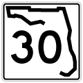
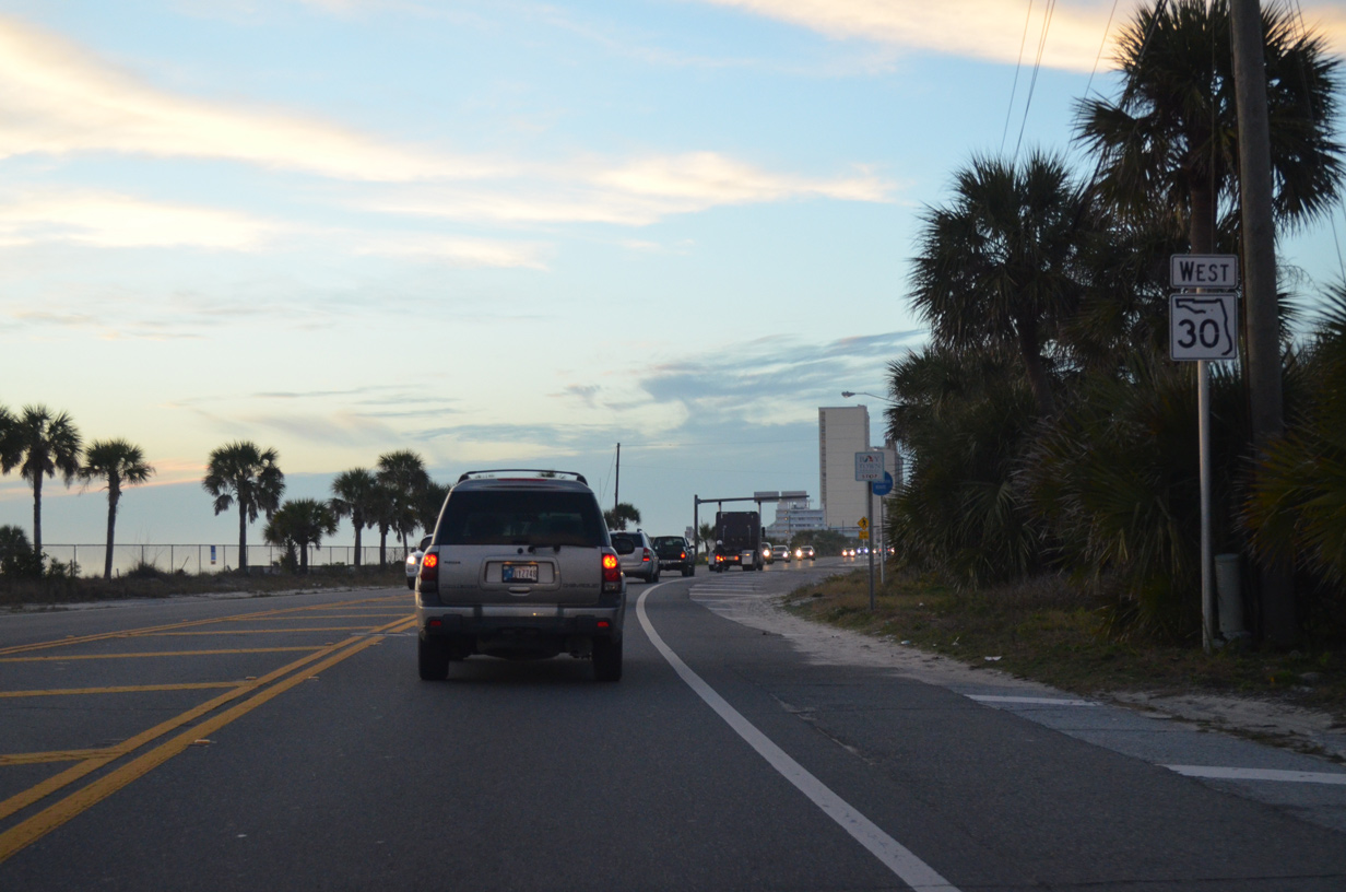
State Road 30 / County Road 30 - West
 West
West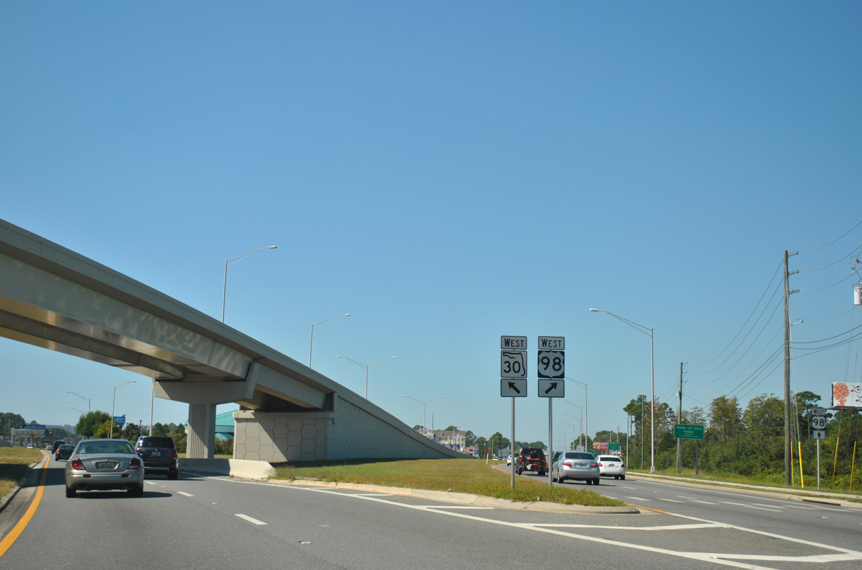
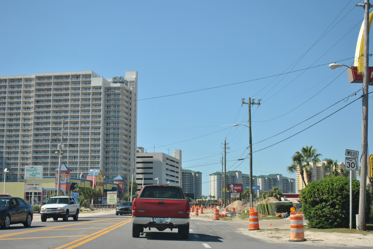
SR 30 separates from U.S. 98 (Panama City Beach Parkway) below a 2006-constructed flyover for eastbound traffic. SR 30A overlays U.S. 98 west along Back Beach Road while SR 30 follows Front Beach Road (former U.S. 98 Alternate).
10/17/11
There is no direct access from U.S. 98 (Panama City Beach Parkway) eastbound to CR 3031 (Thomas Drive) south due to the aforementioned flyover. A two lane off-ramp instead connects U.S. 98 with Front Beach Road here, allowing motorists to reach the eastbound frontage road to Thomas Drive.
10/17/11
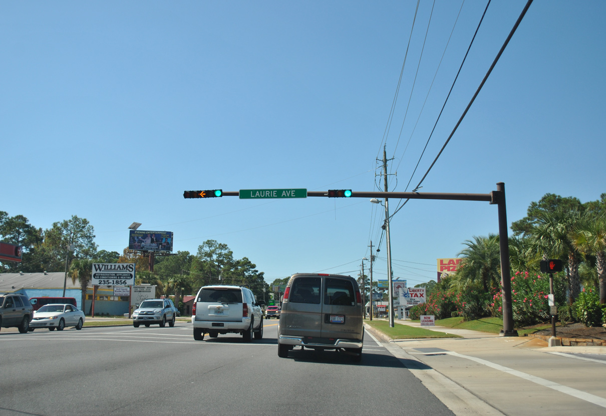
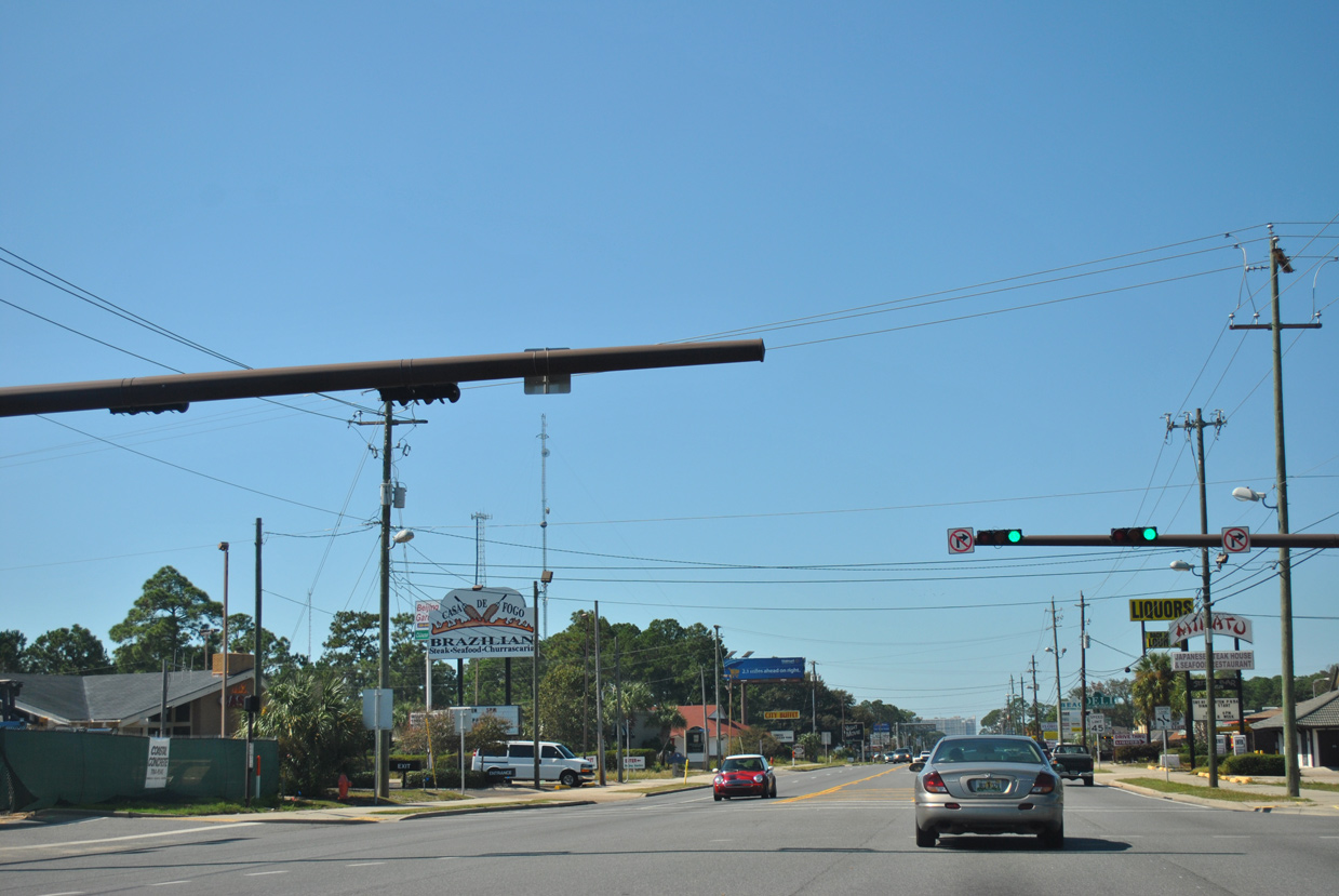
Front Beach Road gradually sinks southwestward toward the Gulf Beaches. The ensuing traffic light westbound is with Laurie Avenue, a residential street.
10/17/11
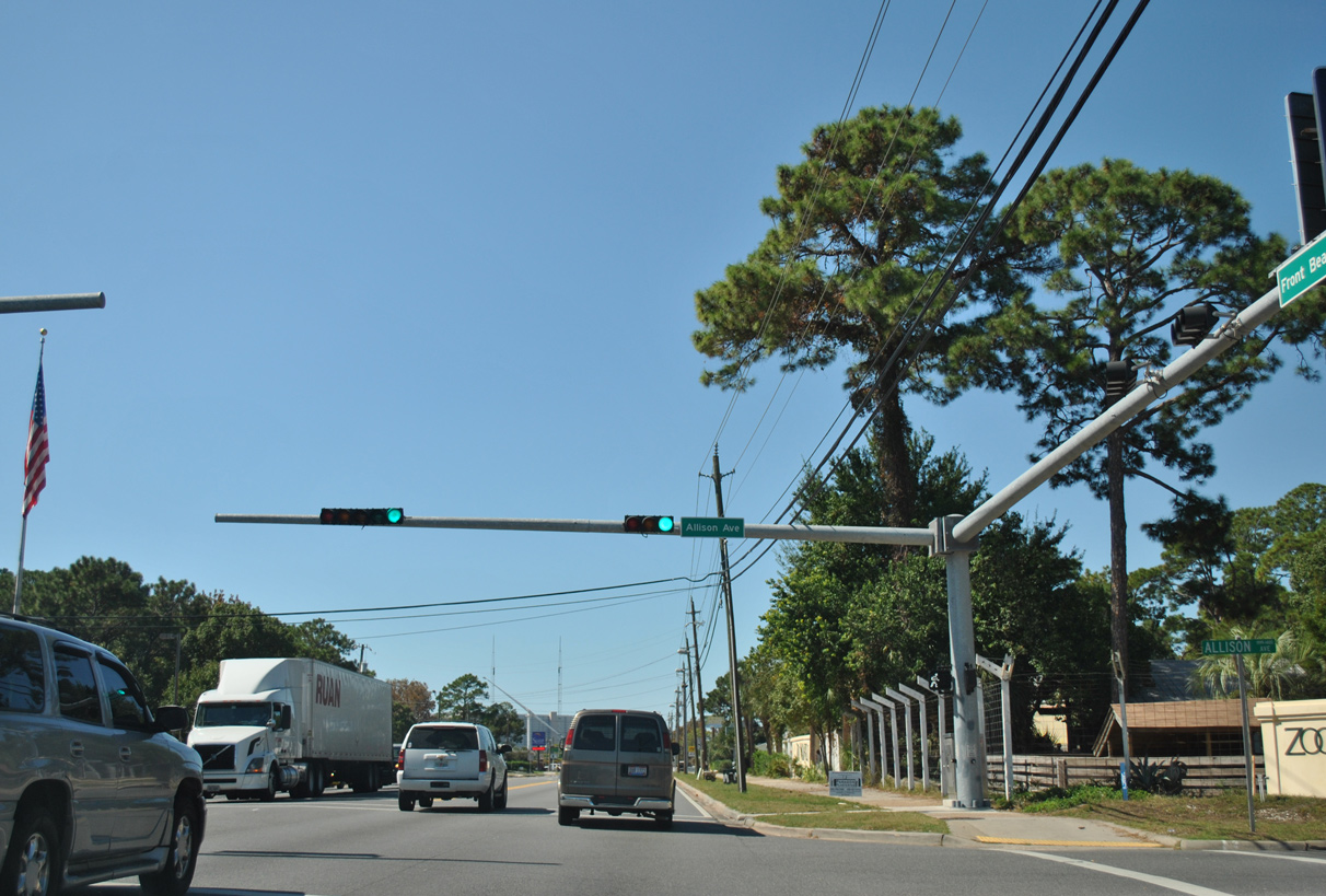
Traffic lights were added three blocks west of Laurie Avenue along SR 30 at Allison Avenue by 2011.
10/17/11
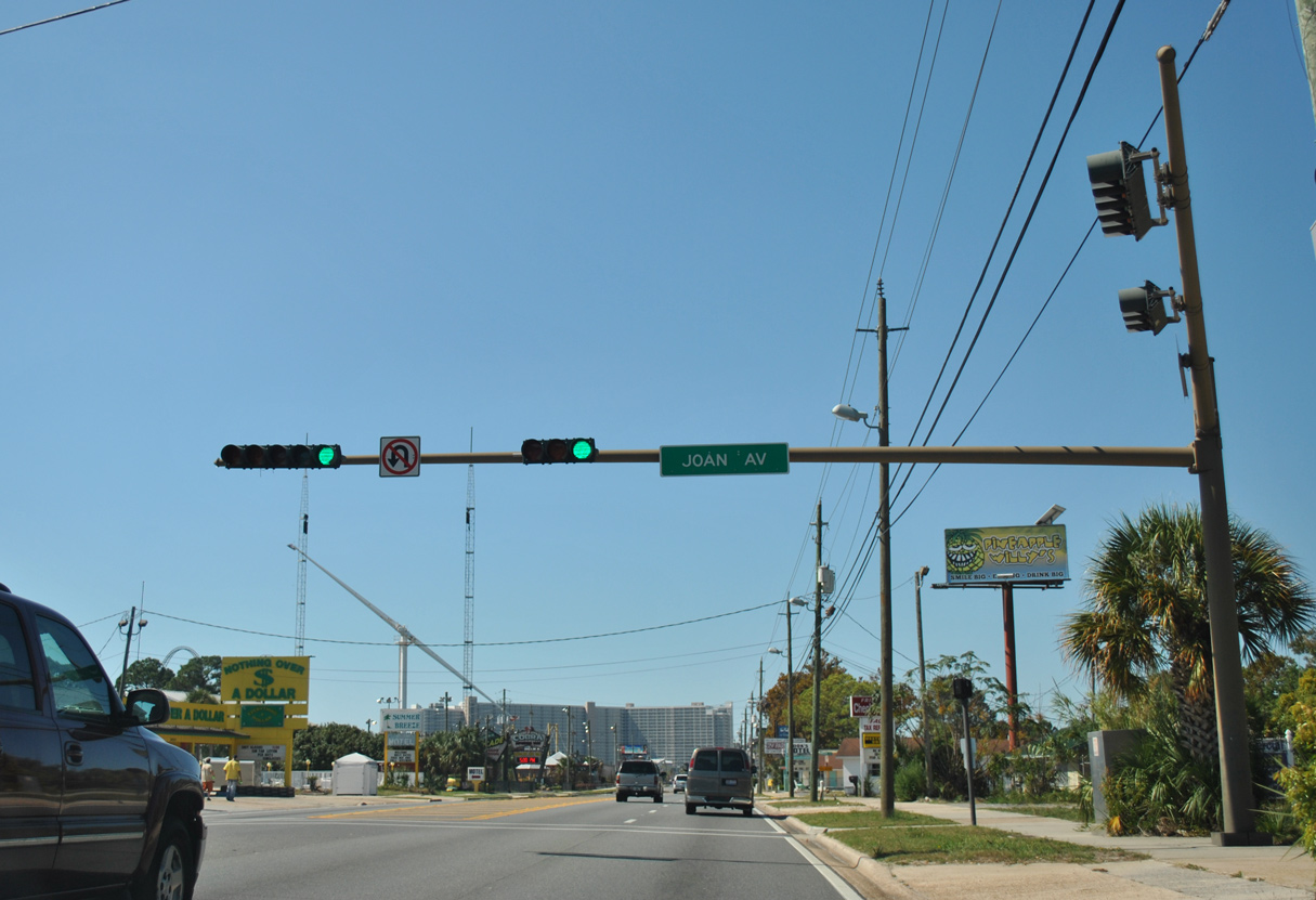
Joan Avenue was formerly the southern leg of Bay County Road 30B, which extended from Front Beach Road south to Lagoon Drive (CR 3030) and Thomas Drive (CR 392).
10/17/11
The northern leg of former CR 30B followed Moylan Road to U.S. 98. SR 30 intersects Moylan Road just beyond this reassurance marker.
10/17/11
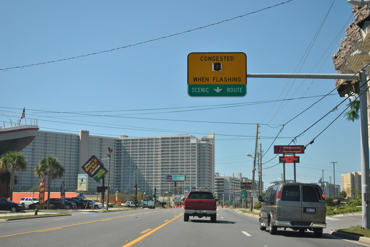
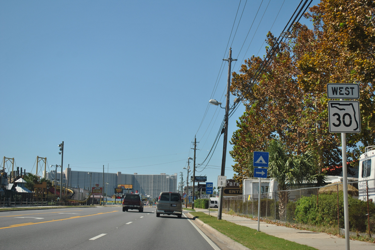
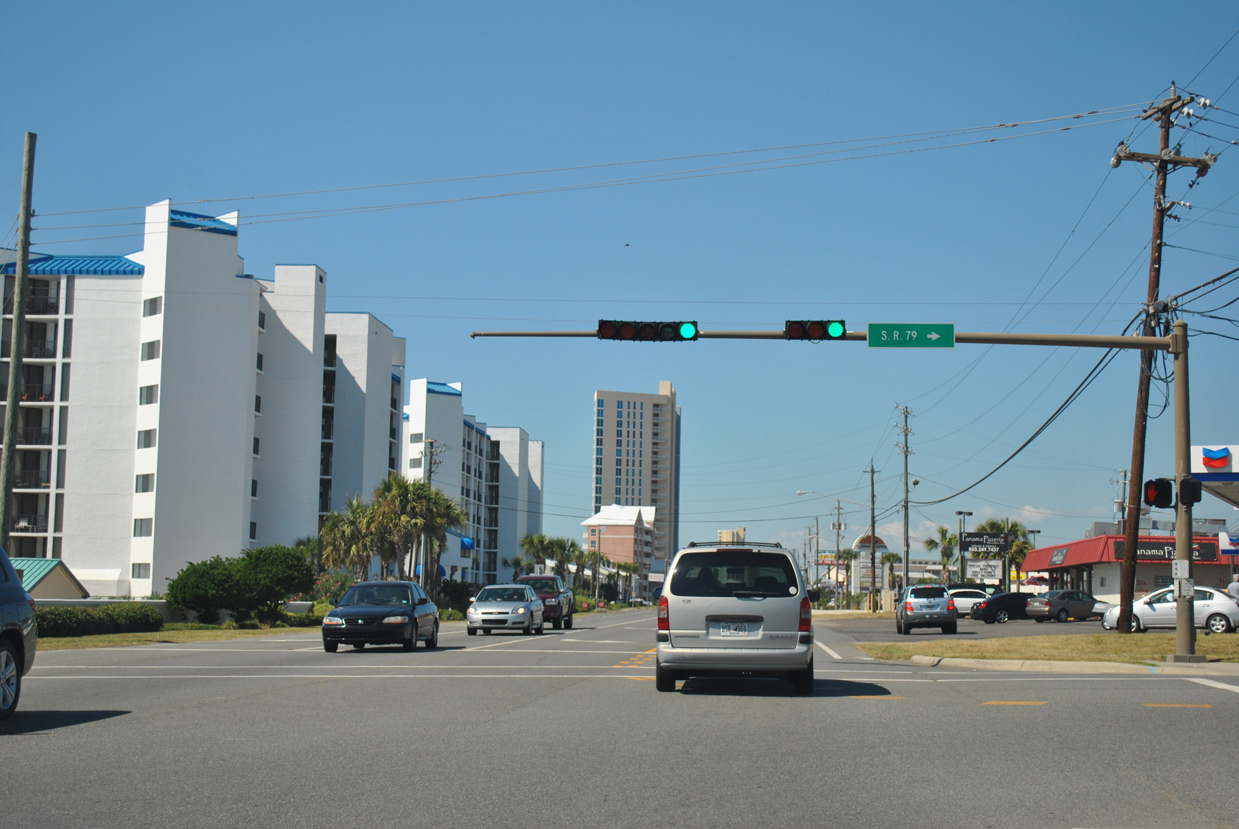
Continuing west from Moyan Road, SR 30 (Front Beach Road) approaches both Thomas Drive (unsigned CR 392) south and SR 392 (Hutchinson Boulevard) west. Also referenced as the Express Route, Hutchinson Boulevard comprises an arterial bypass for Front Beach Road.
10/17/11
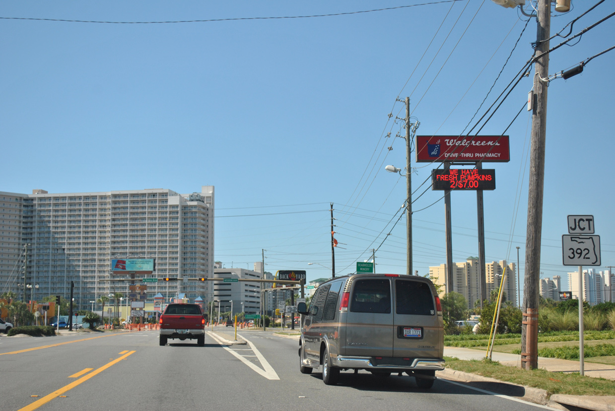
A 3.12 mile long route, SR 392 (Hutchinson Boulevard) through Panama City Beach is inventoried by FDOT as SR 392A.
10/17/11
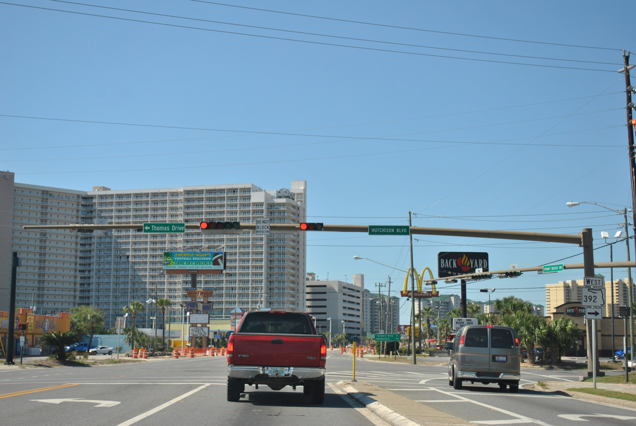
Thomas Drive extends south from SR 392 (Hutchinson Boulevard) as unmarked CR 392 to Gulf Lagoon Beach, Biltmore Beach and St. Andrews State Park.
10/17/11
 West
West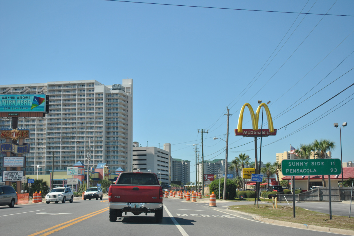
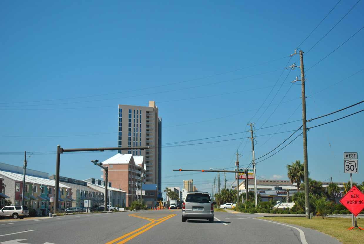
Front Beach Road was relinquished between Thomas Drive (CR 392) and Richard Jackson Boulevard to the city of Panama City Beach in 2016. This distance sign at SR 392 formerly referenced the U.S. 98 destination of Pensacola.
10/17/11
The SR 30 confirming marker posted west of SR 392 was eventually replaced by the city of Panama City Beach with a U.S. 98 Alternate shield. U.S. 98 Alternate was decommissioned in 2006.
10/17/11
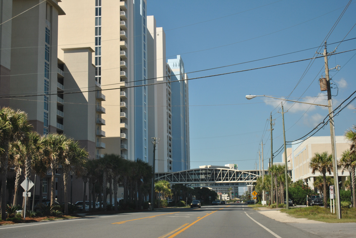
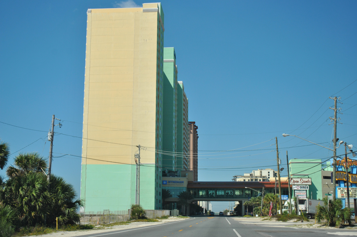
Numerous condo towers rise along the Gulfside on Front Beach Road. A pair of pedestrian sky bridges span the three-lane boulevard west of Churchwell Drive.
10/17/11
Front Beach Road shifts slightly inland beyond Gulf Highland Boulevard.
10/17/11
Richard Jackson Boulevard (former CR 3033) leads northeast as a multi-lane boulevard from Front Beach Road to U.S. 98 and the Breakfast Point development.
10/17/11
West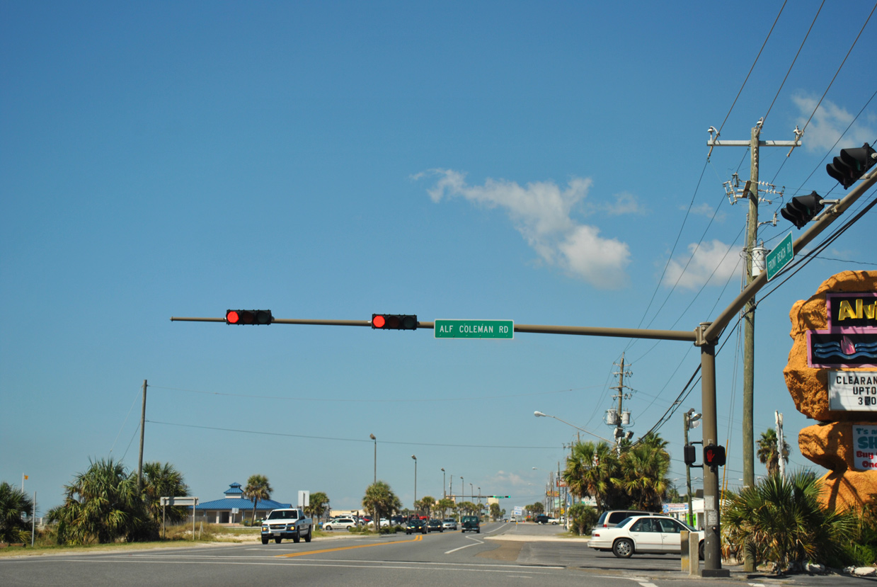
SR 30 resumes along Front Beach Road west from Richard Jackson Boulevard. The succeeding signal is with Alf Coleman Road northeast to U.S. 98 and Arnold High School.
10/17/11
SR 30 confirming marker posted beyond the west end of SR 392 (Hutchinson Boulevard).
01/16/16
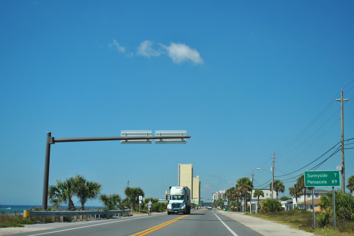
Removed by 2015, this U.S. 98 Alternate-based distance sign came next beyond the merge with SR 392 (Middle Beach Road). Sunnyside lies at the west end of Front Beach Road in seven miles.
10/17/11
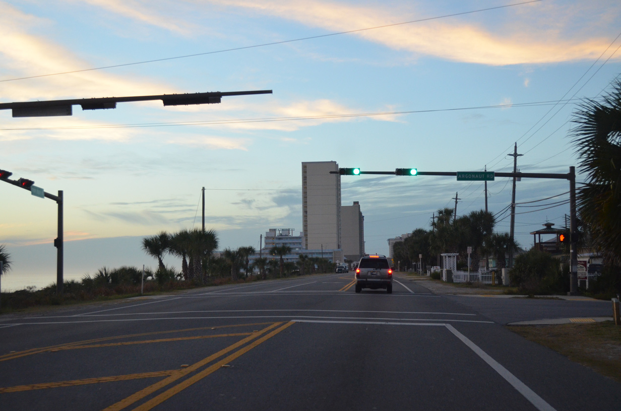
Argonaut Road ties into Front Beach Road at the succeeding westbound traffic light from the Bid-a-Wee Beach community.
01/16/16
Westbound Front Beach Road at Short Street and the Emerald Beach Resort.
10/17/11

Hills Road stems north from Front Beach Road to U.S. 98 (Panama City Beach Parkway) at Cambridge Boulevard, the entrance to the Palmetto Trace development.
01/16/16
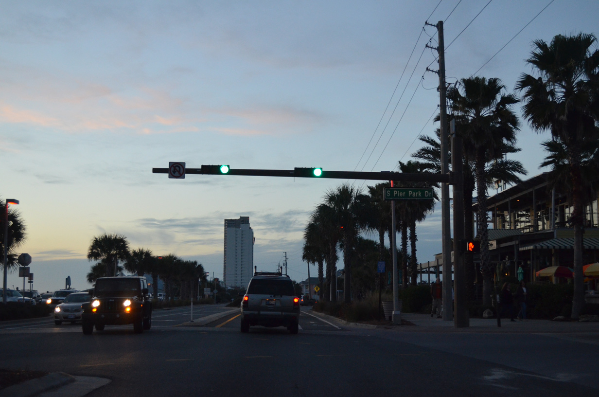
Pier Park Drive winds northward from SR 30 at the Russell-Fields Pier through the Pier Park Drive lifestyle center to U.S. 98. The 2017-opened Bay Parkway extends northwest from the road to SR 79.
01/16/16
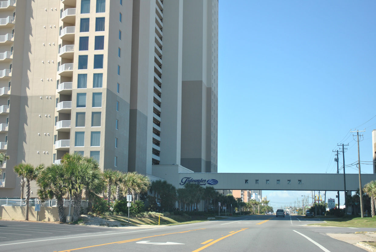
A pedestrian sky bridge spans Front Beach Road at the Tidewater Beach Resort.
10/17/11
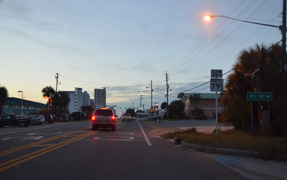
SR 30 (Front Beach Road) advances toward the west end of Panama City Beach and a wye intersection with SR 79 (South Arnold Road).
01/16/16
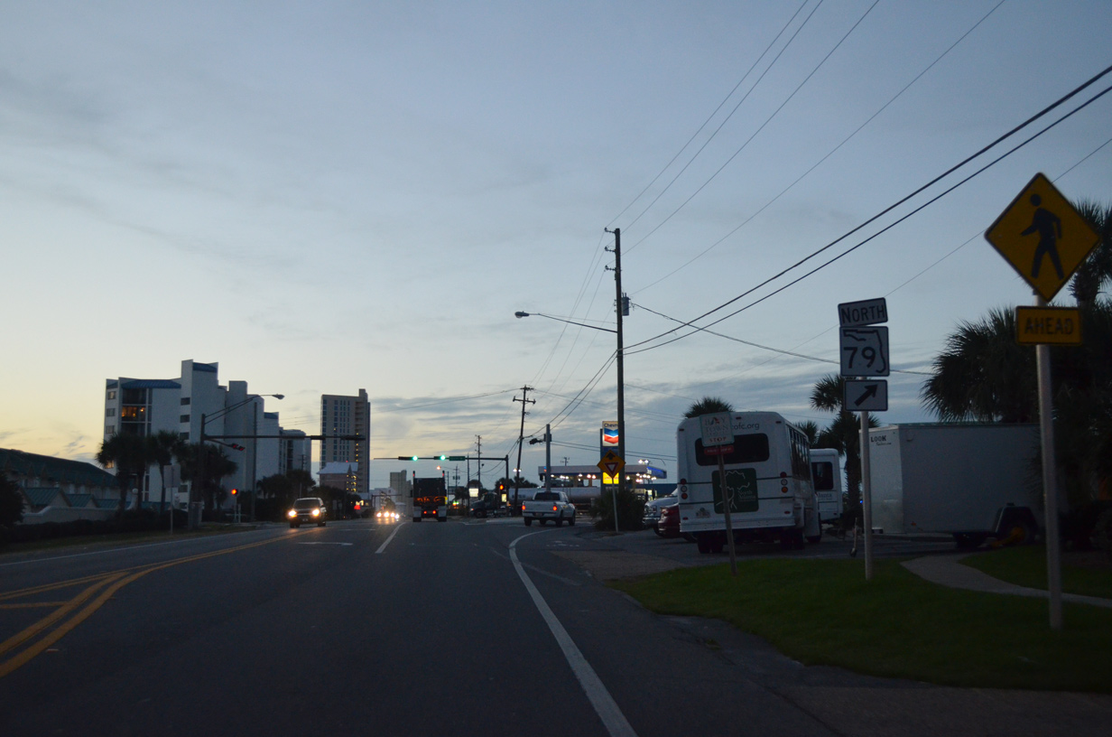
SR 79 represents one of three north-south corridors joining Panama City Beach and coastal Bay County with Interstate 10. With four lanes overall as of 2019, the state road heads northward to West Bay, Ebro, Vernon and I-10 at Bonifay.
01/16/16
Both legs of the wye with SR 79 (Arnold Road) are accessible from SR 30 (Front Beach Road).
10/17/11
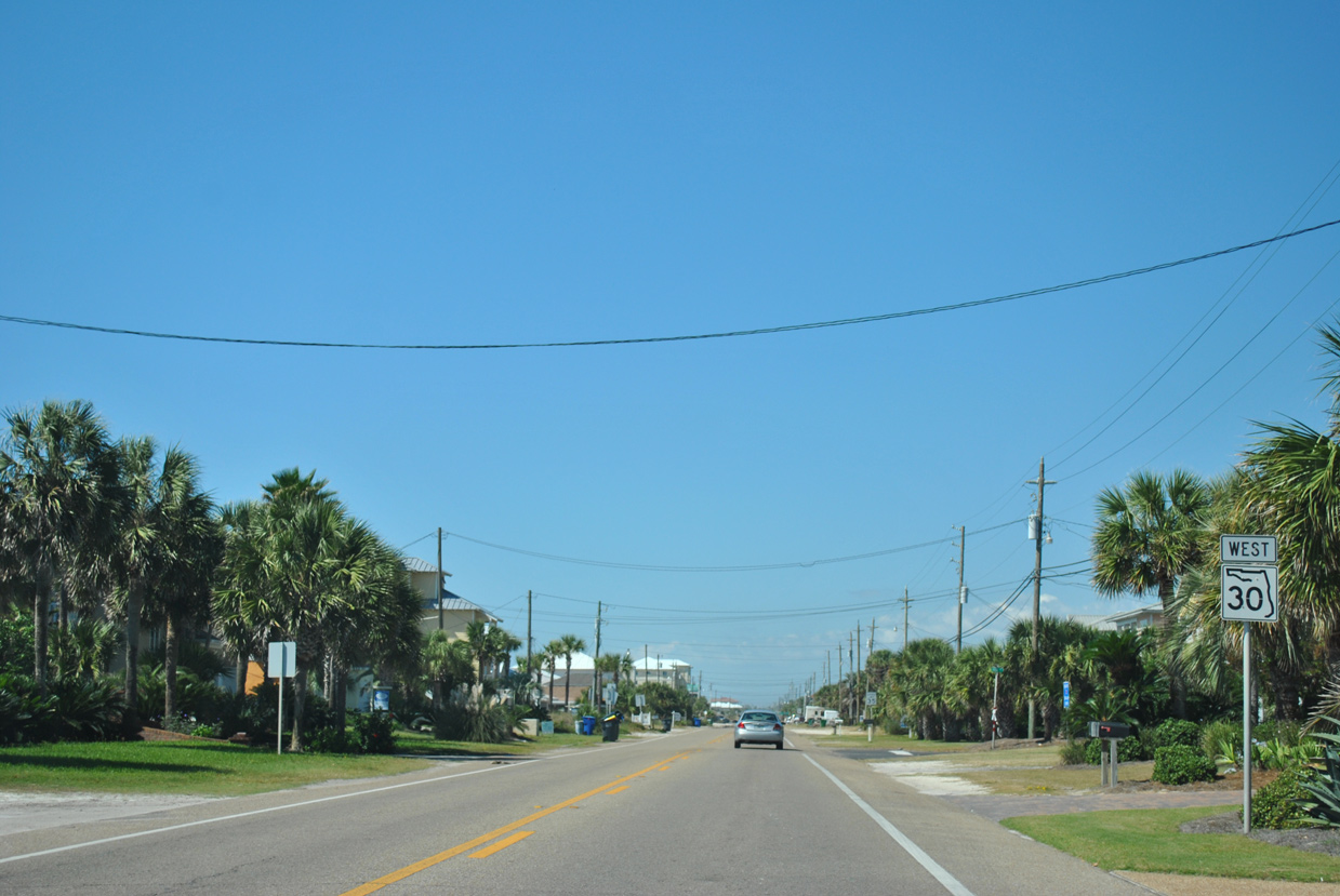
The last reassurance shield for SR 30 stands west of SR 79 (South Arnold Road).
10/17/11
Several more condominium complexes line the Gulf front along SR 30 (Front Beach Road) west to the Panama City Beach line.
10/17/11
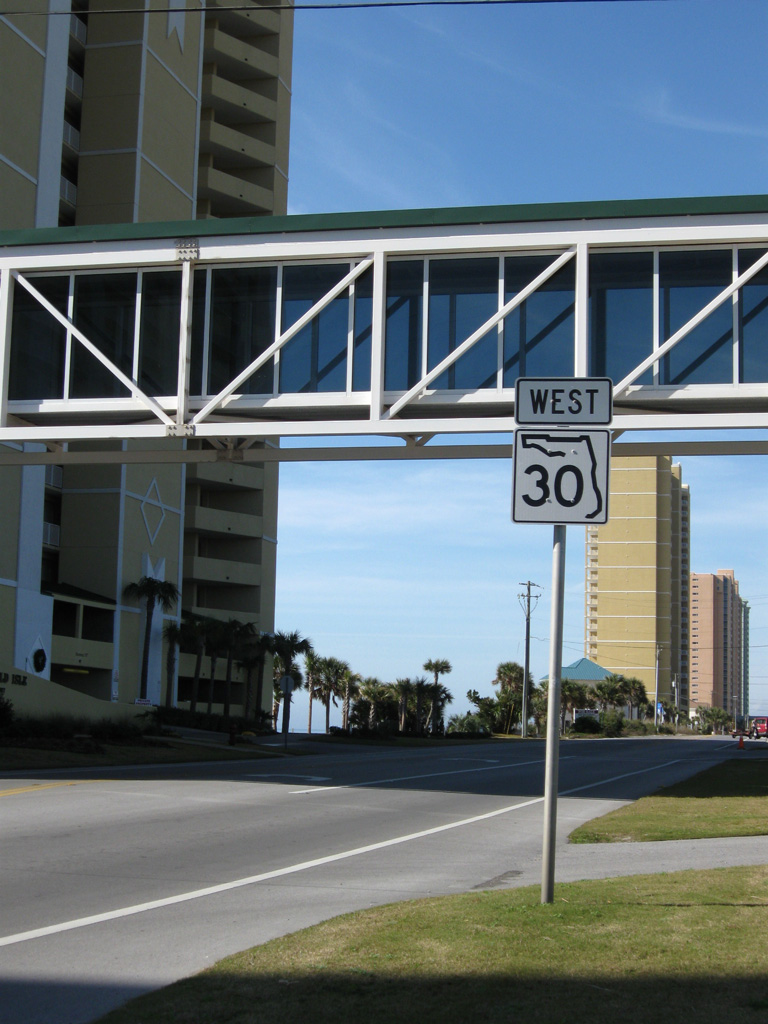
The last confirming marker for SR 30 west stands just beyond Cobb Road (old CR 30A) at the Emerald Isle Resort sky bridge.
12/18/08
(Front Beach Road) West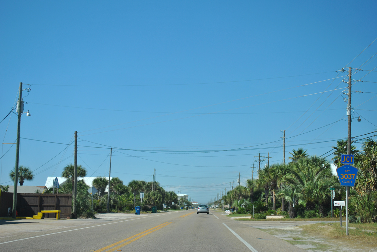
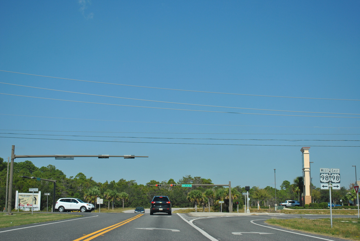
SR 30 (Front Beach Road) becomes unsigned CR 30 west of the Panama City Beach municipal boundary. Traveling through Laguna Beach, Front Beach Road meets CR 3037 (Wisteria Lane), a 0.421 mile link to U.S. 98 (Panama City Beach Parkway).
10/17/11
Reassurance markers for both SR 30 west and CR 3037 north, in addition to the approach sign for CR 3037 along Front Beach Road westbound were all taken down by 2017.
10/17/11
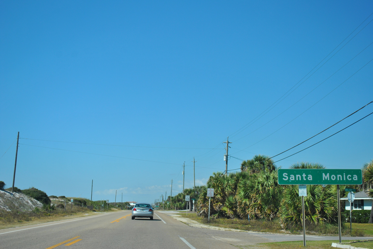
Front Beach Road continues west from Laguna Beach into the community of Santa Monica.
10/17/11
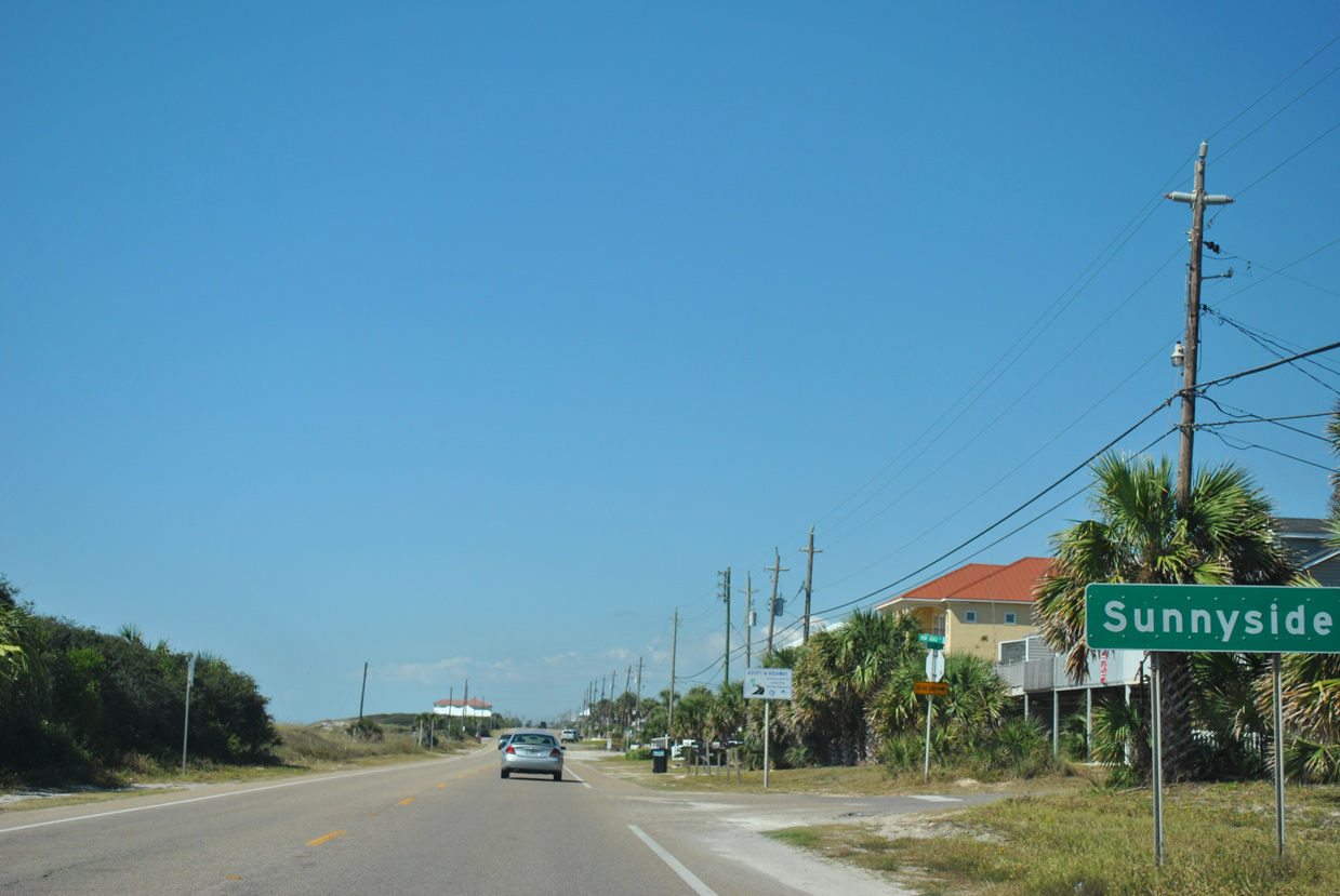
Unincorporated Sunnyside lies at the west end of Front Beach Road, south of Powell Lake.
10/17/11
West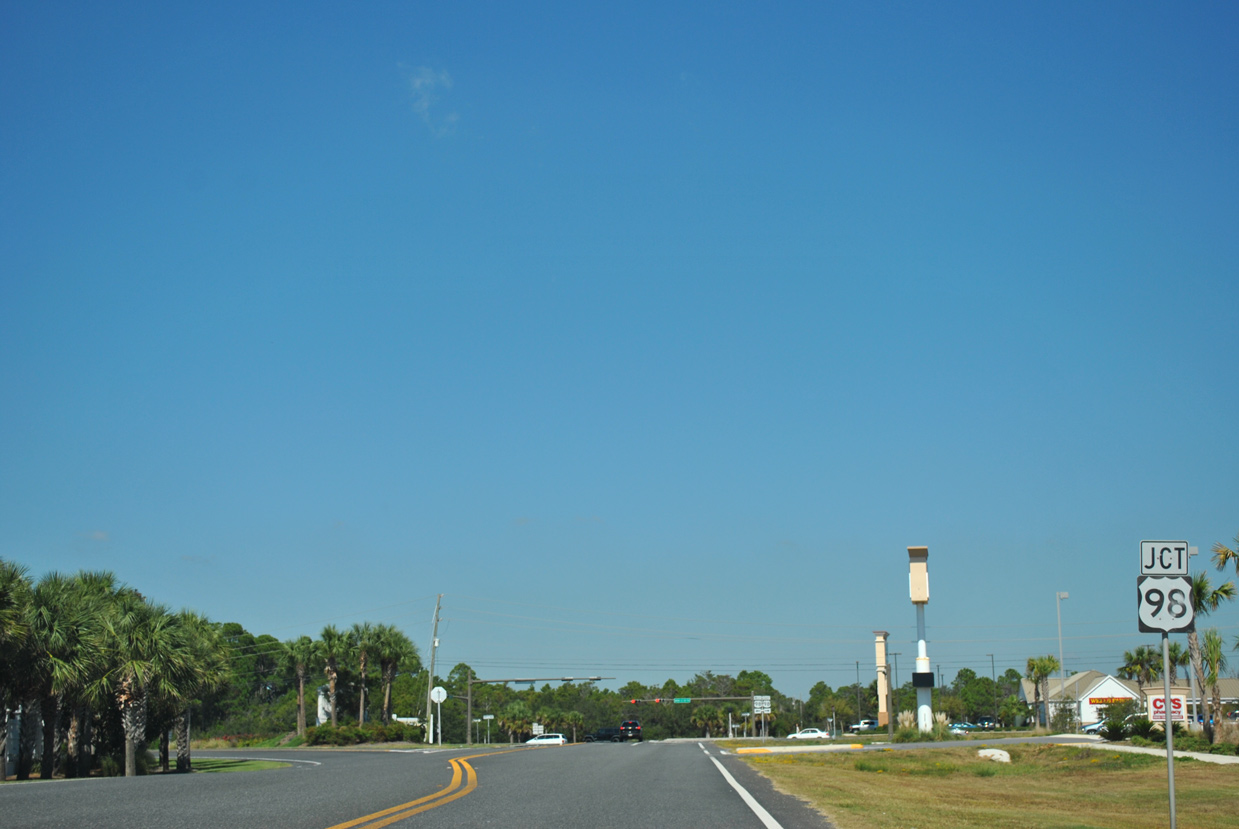
The northern curve along Front Beach Road leading to U.S. 98 is state maintained and inventoried as SR 30.
10/17/11
U.S. 98 shifts northward from Front Beach Road to span Powell Lake by Phillips Inlet to Walton County.
10/17/11
Photo Credits:
- Alex Nitzman: 10/17/11
- ABRoads: 12/18/08, 01/16/16
Connect with:
Page Updated Thursday August 23, 2018.