
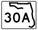
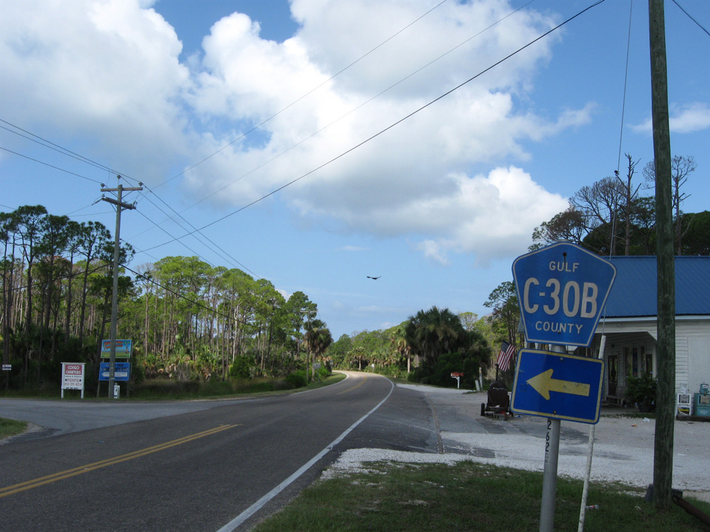
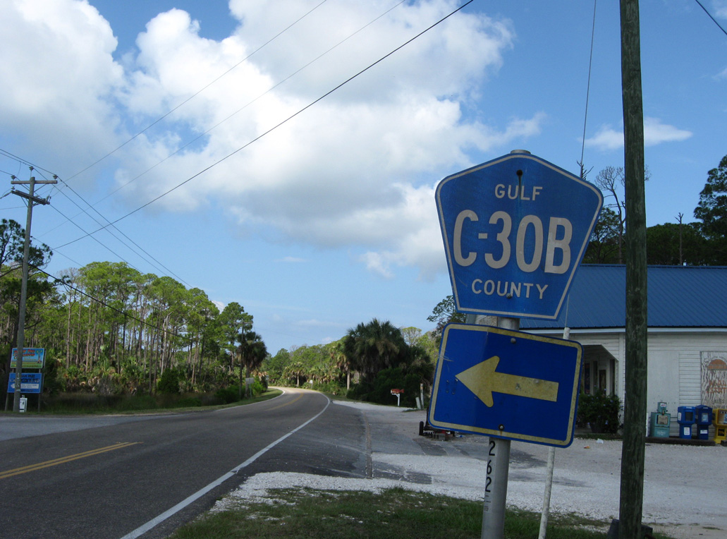
State Road 30A / County Road 30A

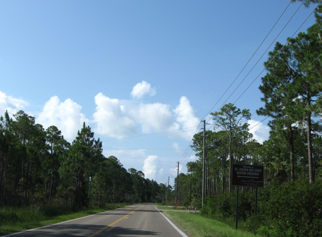
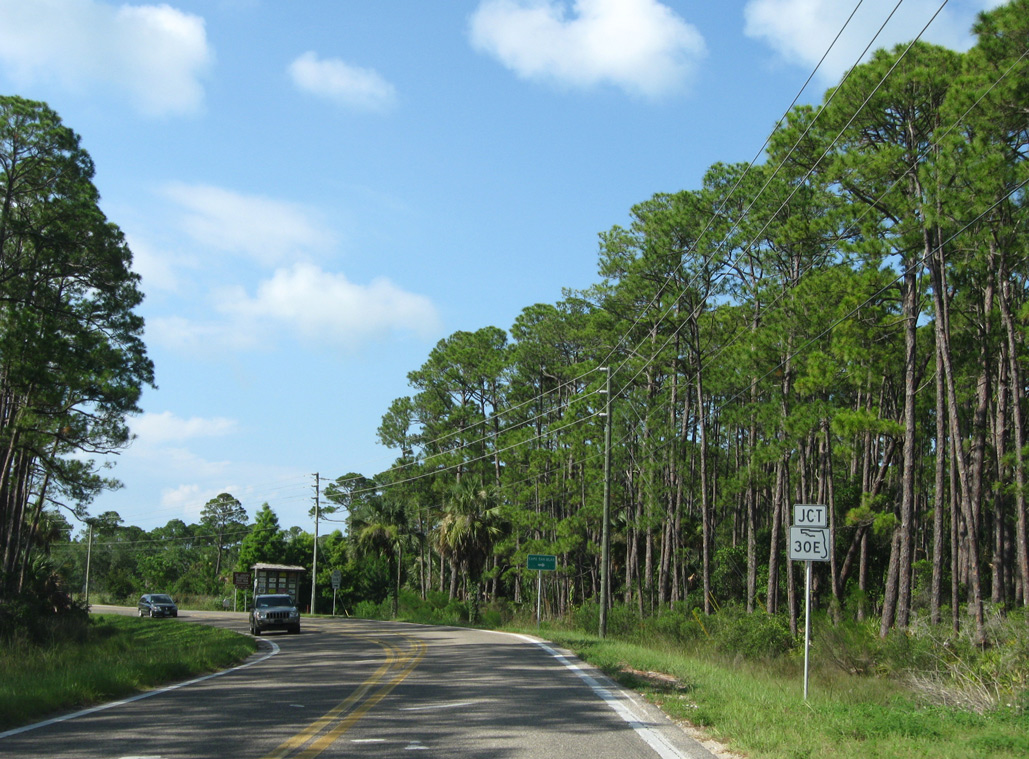
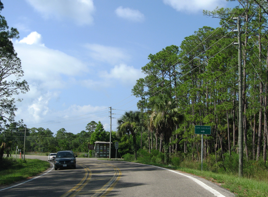
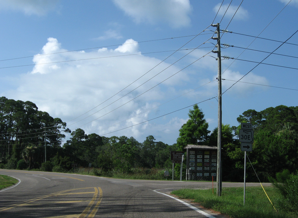
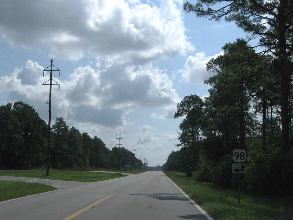
The combination of Florida State Road 30A and County Road 30A forms a loop joining U.S. 98 with SR 30E to Cape San Blas and St. Joseph Peninsula. Measuring 6.661, leg along St. Joseph Bay is state maintained. County Road 30A continues the road 12.09 miles east to Money Beach, Indian Lagoon and U.S. 98 near Nine Mile.
A second branch of CR 30A in Gulf County lines Garrison Avenue 2.08 miles north from U.S. 98 to 16th Street at Port St. Joe.
 East
East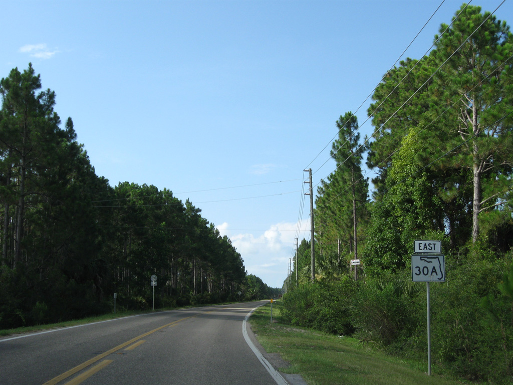
06/27/09
06/27/09

06/27/09
06/27/09
06/27/09
06/27/09
06/27/09
Running alongside the Gulf of Mexico, CR 30A spans Money Bayou.
06/27/09
06/27/09
CR 30A spurs east from CR 30A at Indian Pass onto the Indian Peninsula jutting out to St. Vincent Sound.
06/27/09
06/27/09
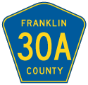
Entering Franklin County along CR 30A eastbound.
06/27/09
06/27/09
Reassurance marker posted east of the county line without the suffix for CR 30A.
06/27/09
06/27/09
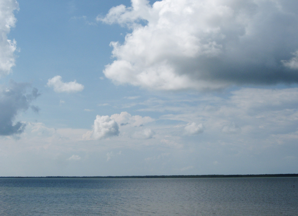
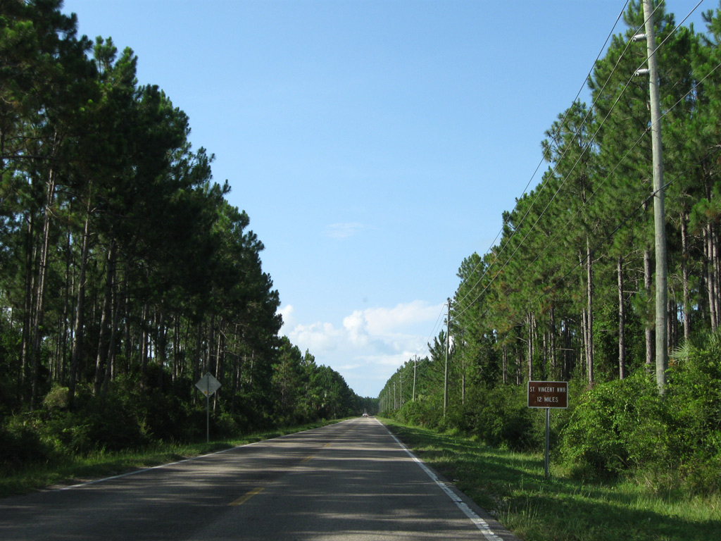
CR 30A straddles the northern St. Vincent Sound shoreline at Nine Mile.
06/27/09
06/27/09
06/27/09
06/27/09
06/27/09
Photo Credits:
- ABRoads: 06/27/09
Connect with:
Page Updated Thursday April 23, 2020.