
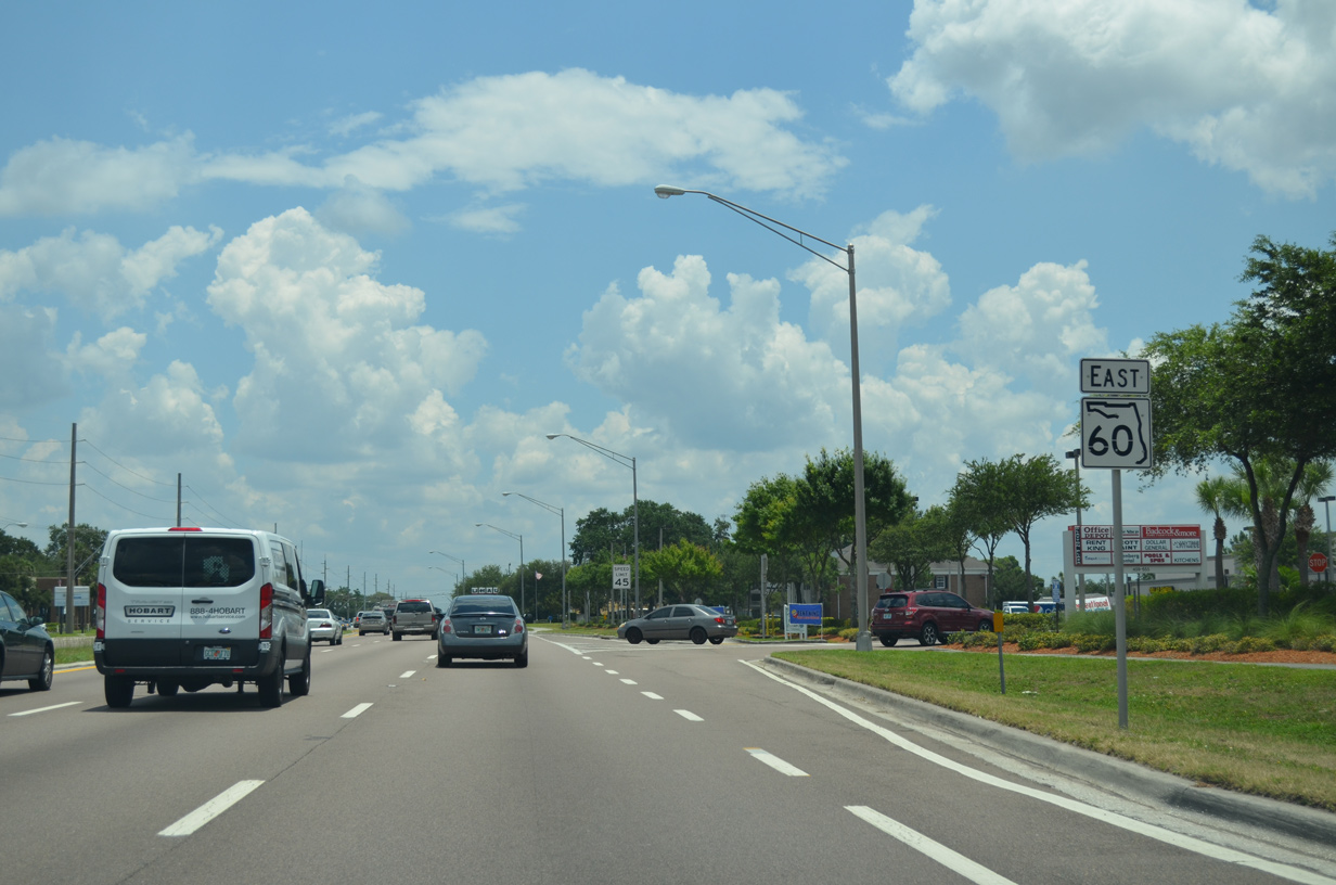
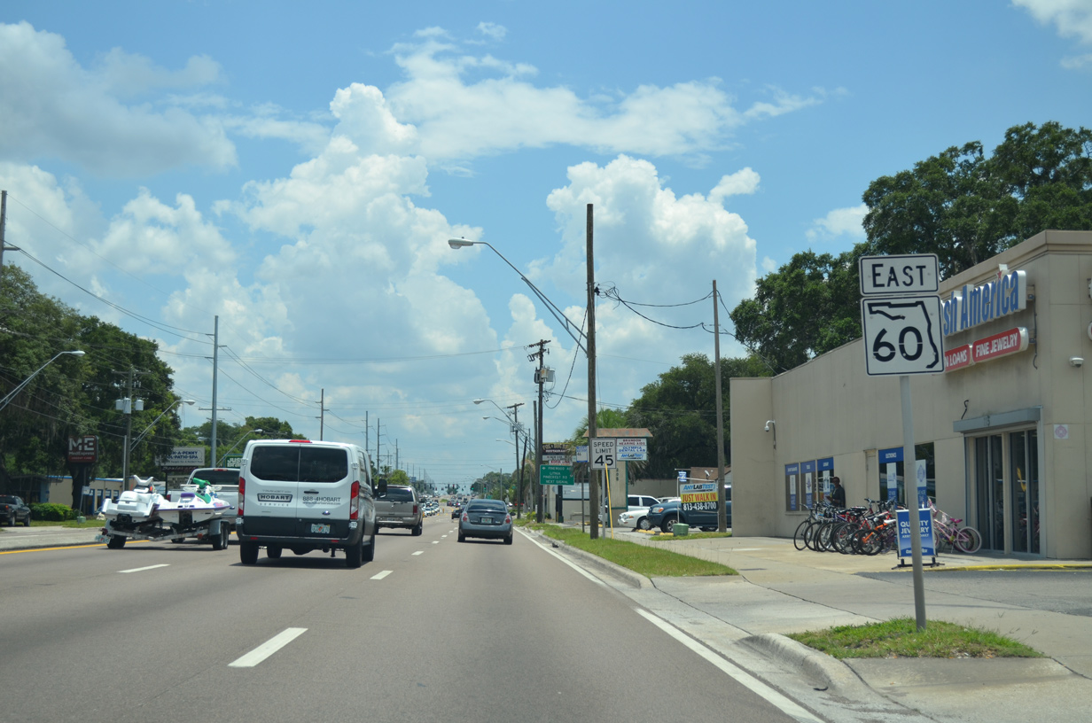
State Road 60 East - Tampa to Brandon

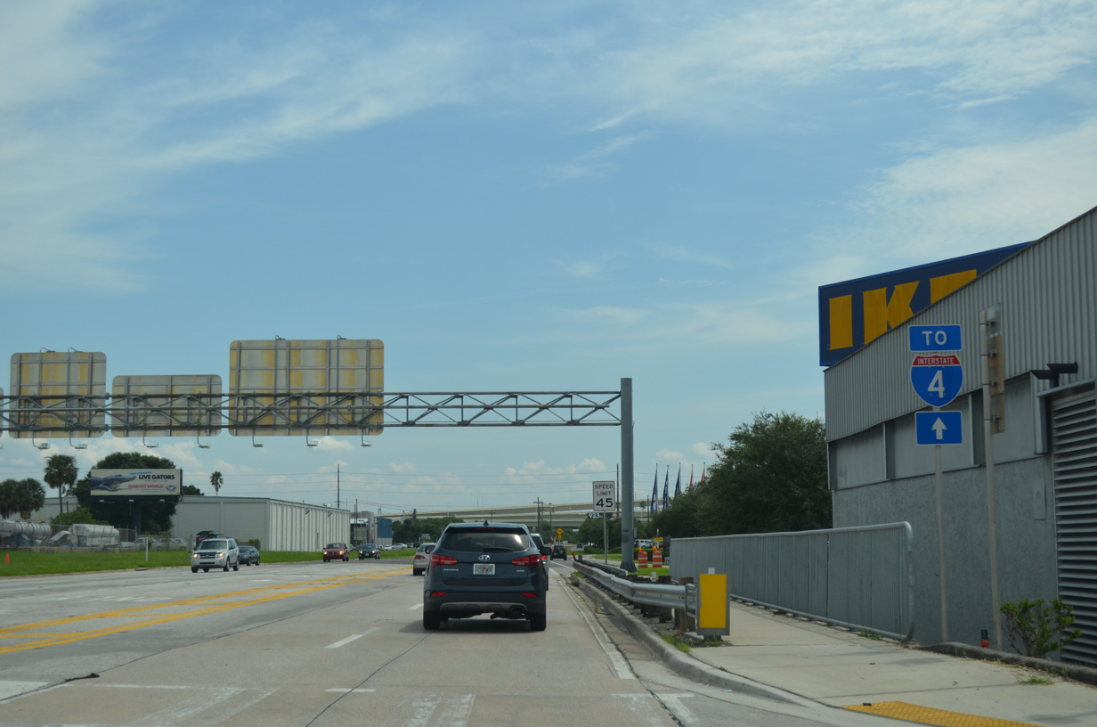
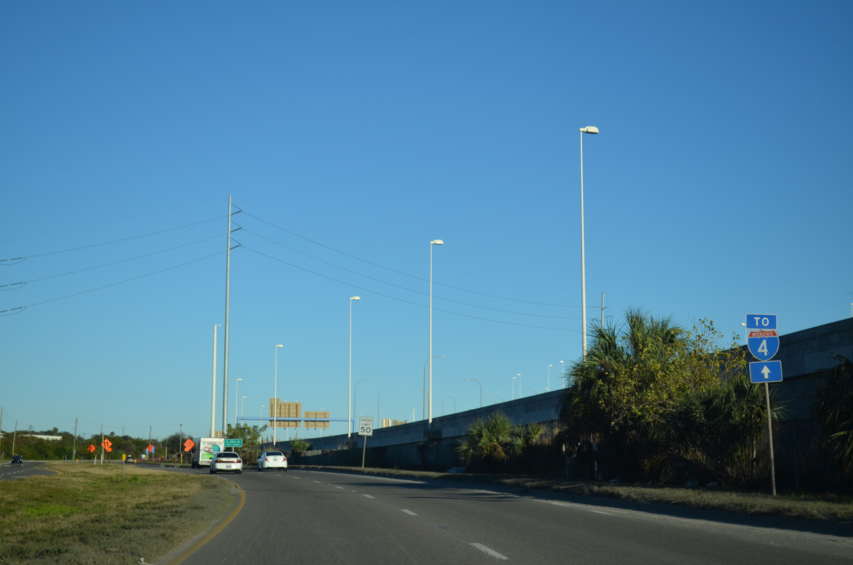
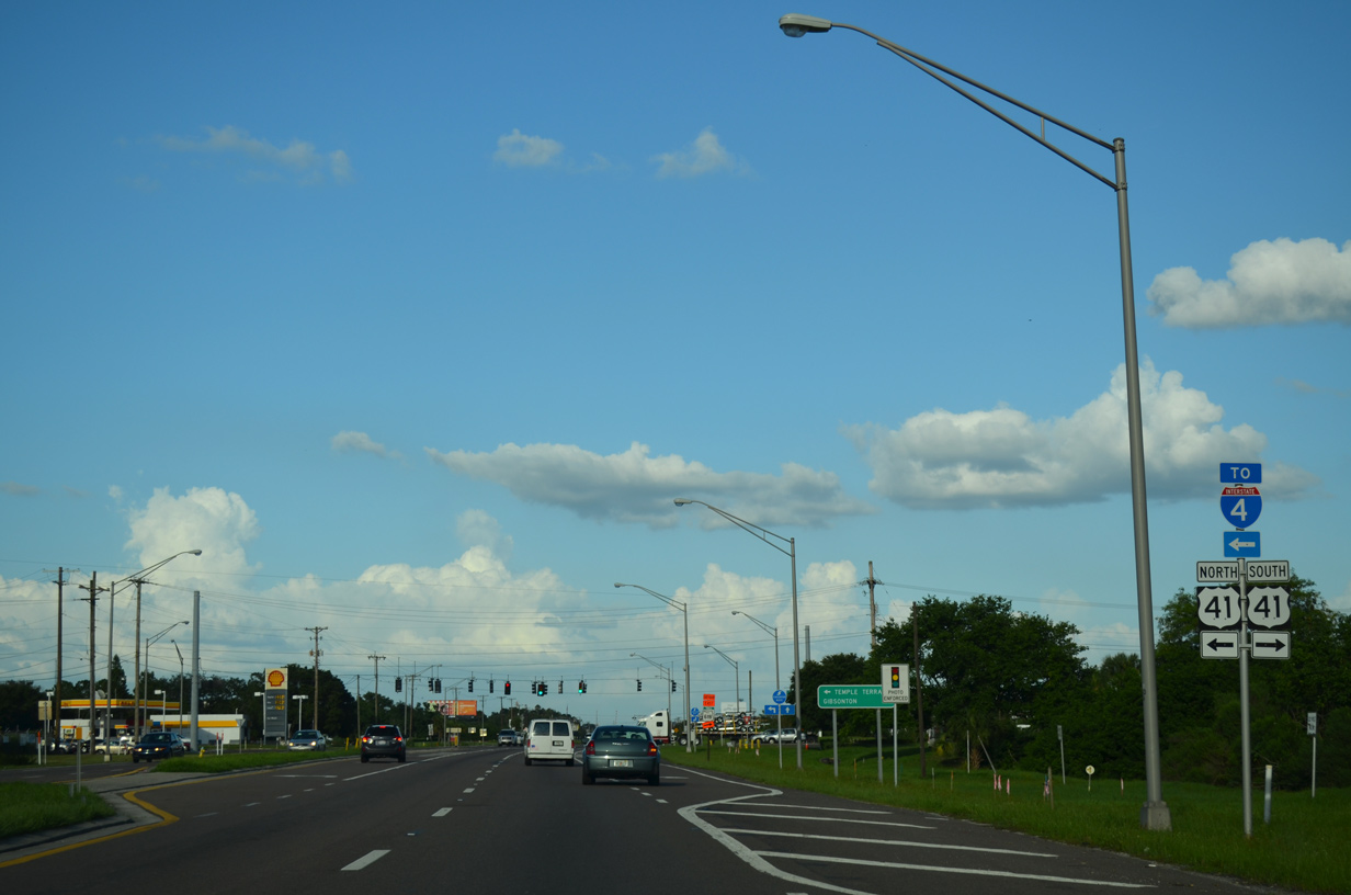
Advancing east along SR 60 (Adamo Drive), motorists bound for I-4 are directed to U.S. 41 at N 50th Street. 22nd Street north also provides access to I-4 through Historic Ybor City.
09/05/15
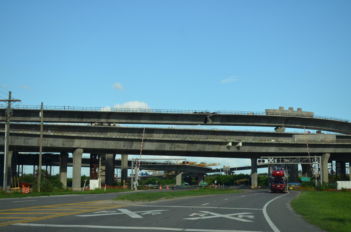
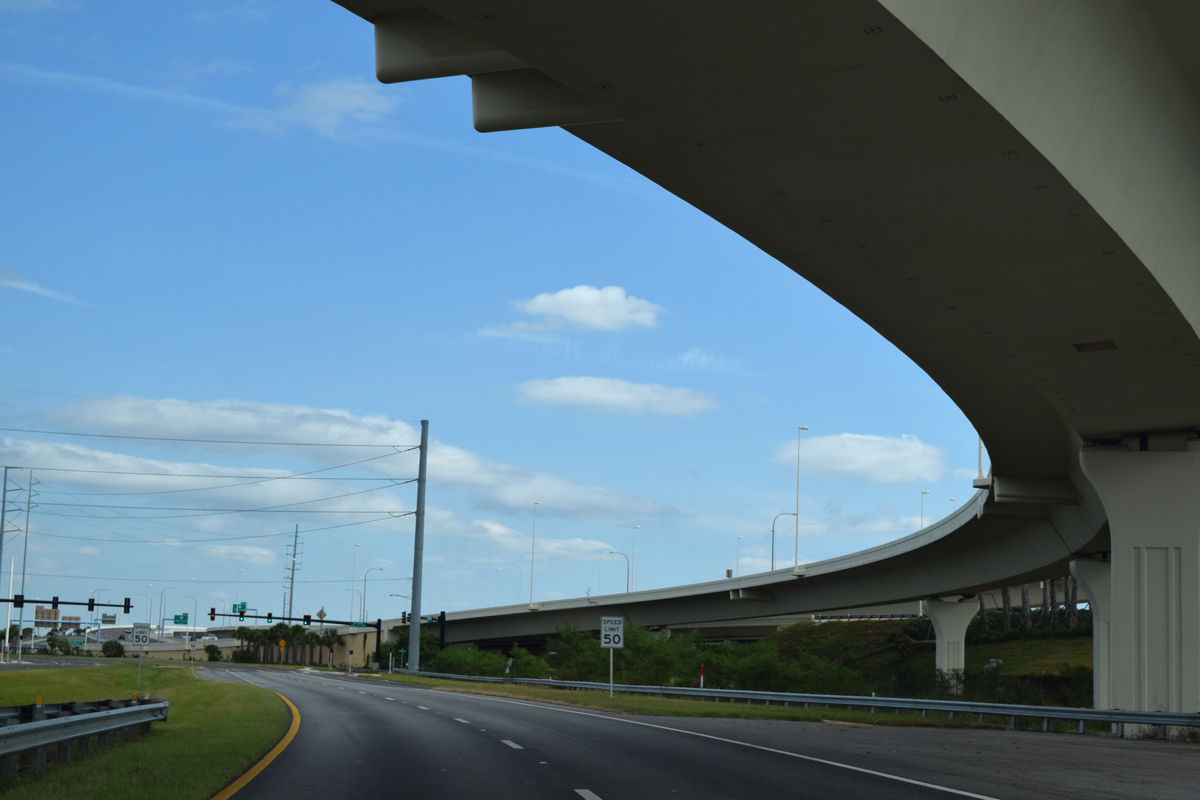
A series of flyovers pass above SR 60 (Adamo Drive) ahead of N 34th Street. These ramps are associated with the Selmon Connector, a toll road linking the Selmon Expressway mainline with Interstate 4. The elevated roadway opened to traffic on January 6, 2014.
04/23/21
10/31/15
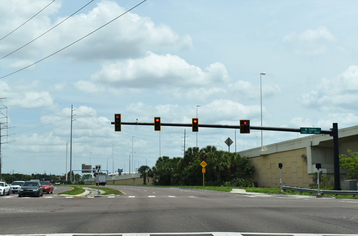
N 34th Street heads north from industrial areas off McKay Bay through East Ybor City.
04/23/21
This trailblazer for I-4 was removed when a sidewalk was added to Adamo Drive in 2015.
01/18/14
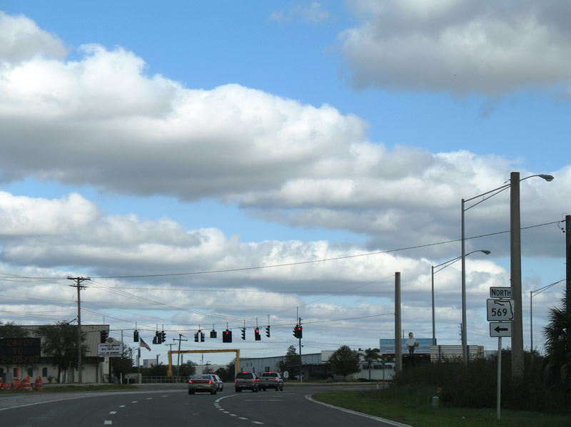
SR 569 travels 1.331 miles between SR 60 and U.S. 41 (Melburne Boulevard) at Highland Pines and East Tampa.
04/23/21
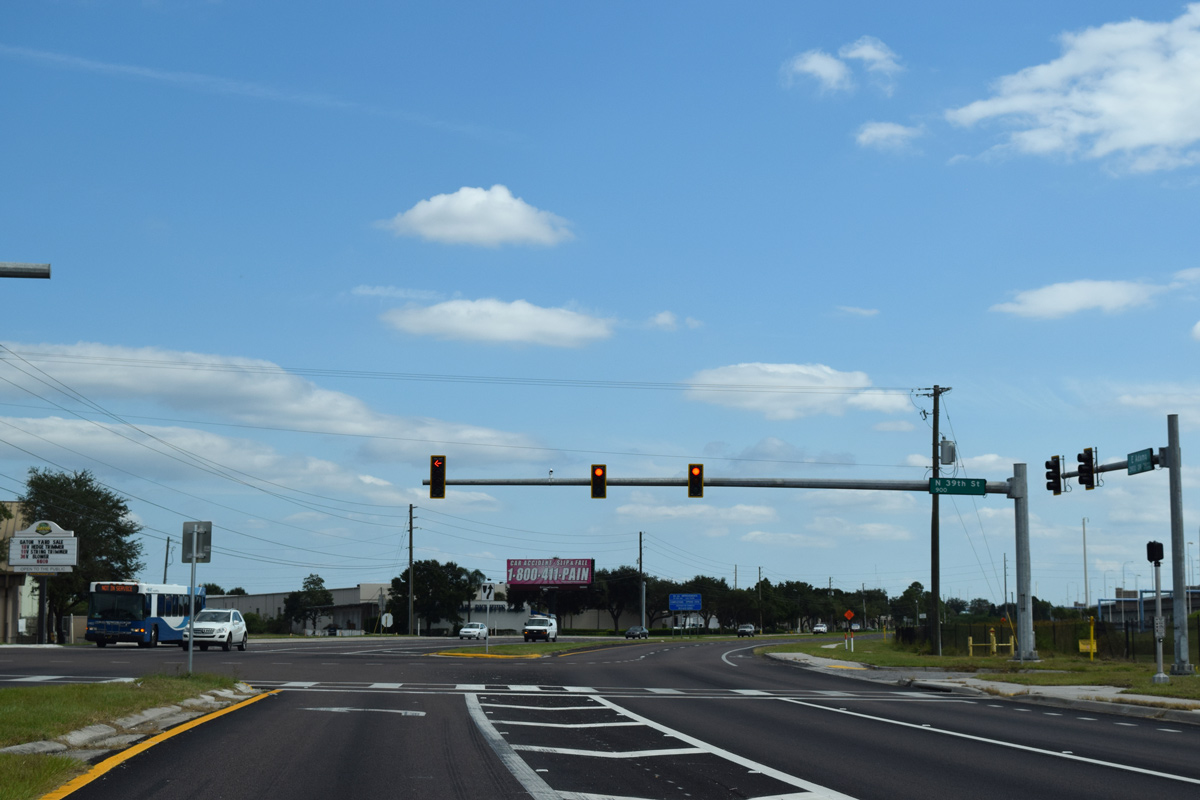
SR 569 follows N 39th Street to 40th Street below Interstate 4. Until 2006, a diamond interchange (Exit 2) previously joined the two.
The state road formerly extended south to a diamond interchange with the adjacent Selmon Expressway (SR 618). Those ramps were removed by 2011.
10/31/15
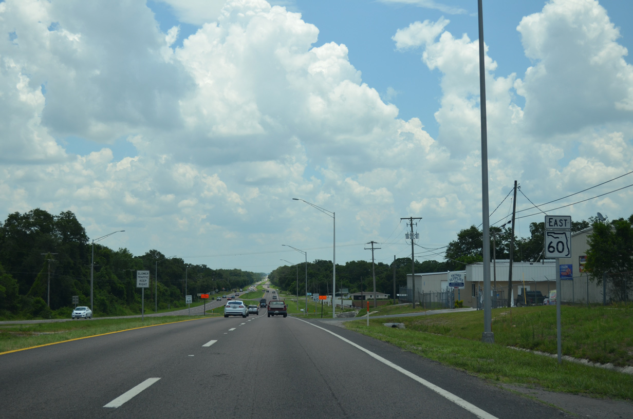
SR 60 (Adamo Drive) winds southeast and approaches U.S. 41. U.S. 41 follows N 50th Street north to Melbourne Boulevard at Highland Pines and south to Palm River.
07/06/13
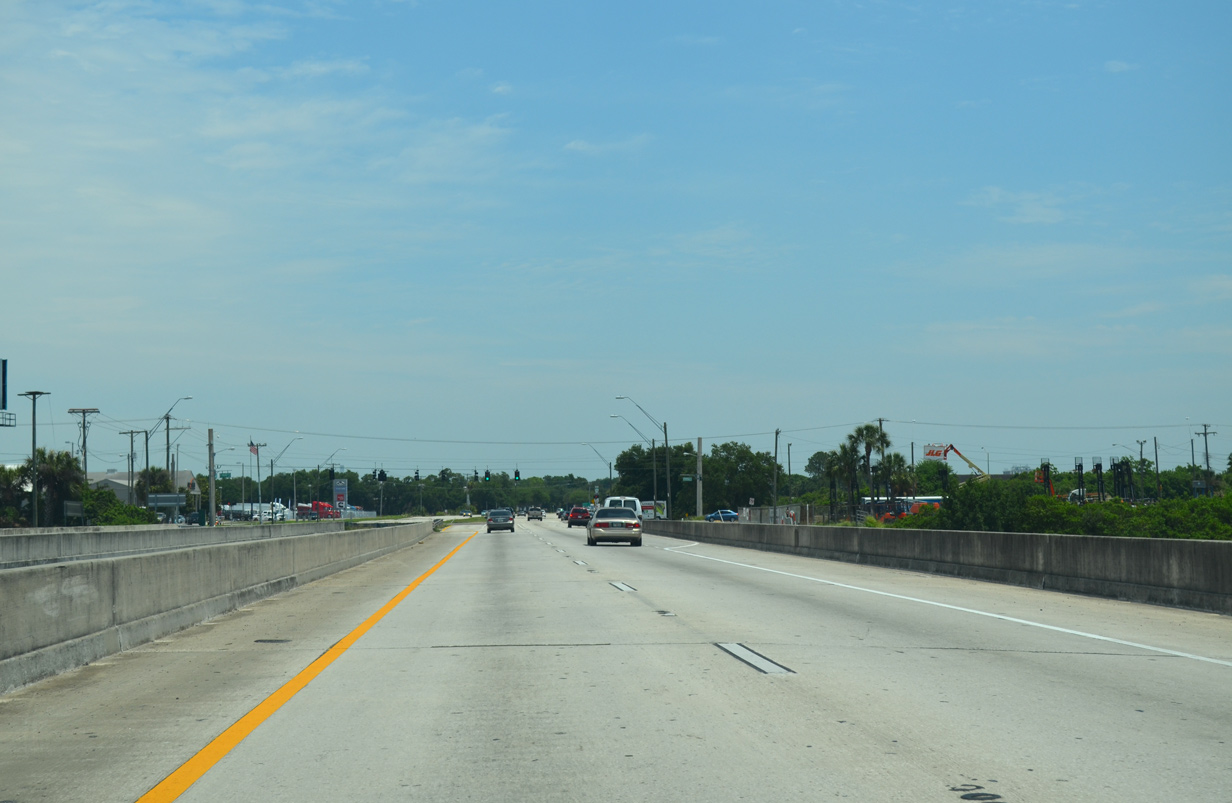
Adamo Drive bisects an industrial area south of the CSX Uceta Rail Yard and north of the Palm River to 78th Street.
04/27/15
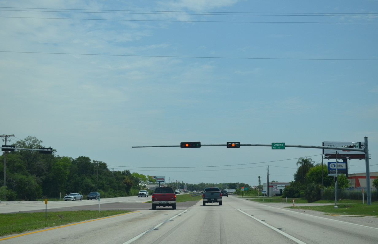
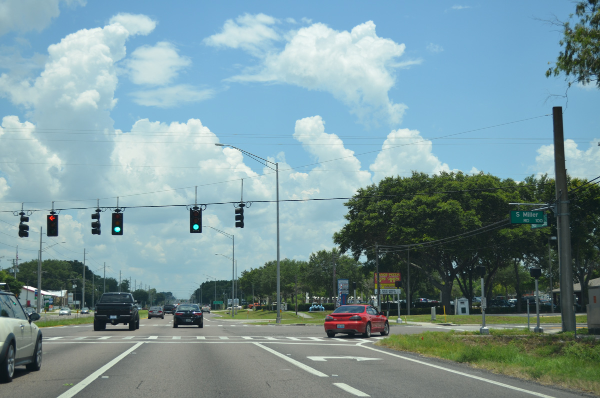
Orient Road spurs north from SR 60 (Adamo Drive) to Orient Park outside the Tampa city limits and Interstate 4 at Exit 6.
04/27/15
Leaving the Tampa city limits, SR 60 crosses the Palm River (Tampa Bypass Canal) along a pair of nondescript bridges. These spans were built in 1970.
04/27/15
78th Street ventures south from SR 60 to Clair-Mel and Riverview. The street doubles as unsigned Hillsborough County Road 573.
04/27/15
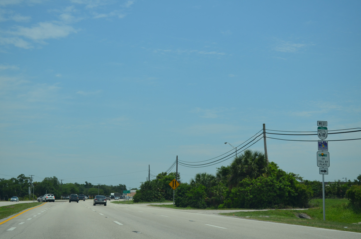
A loop ramp joins 78th Street with SR 618 (Selmon Expressway) westbound back into Tampa. The ramp is accessible from SR 60 just to the north.
04/27/15
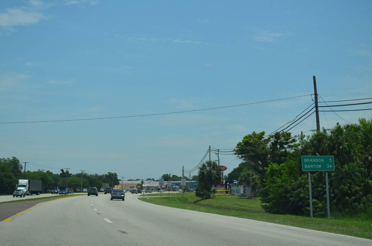
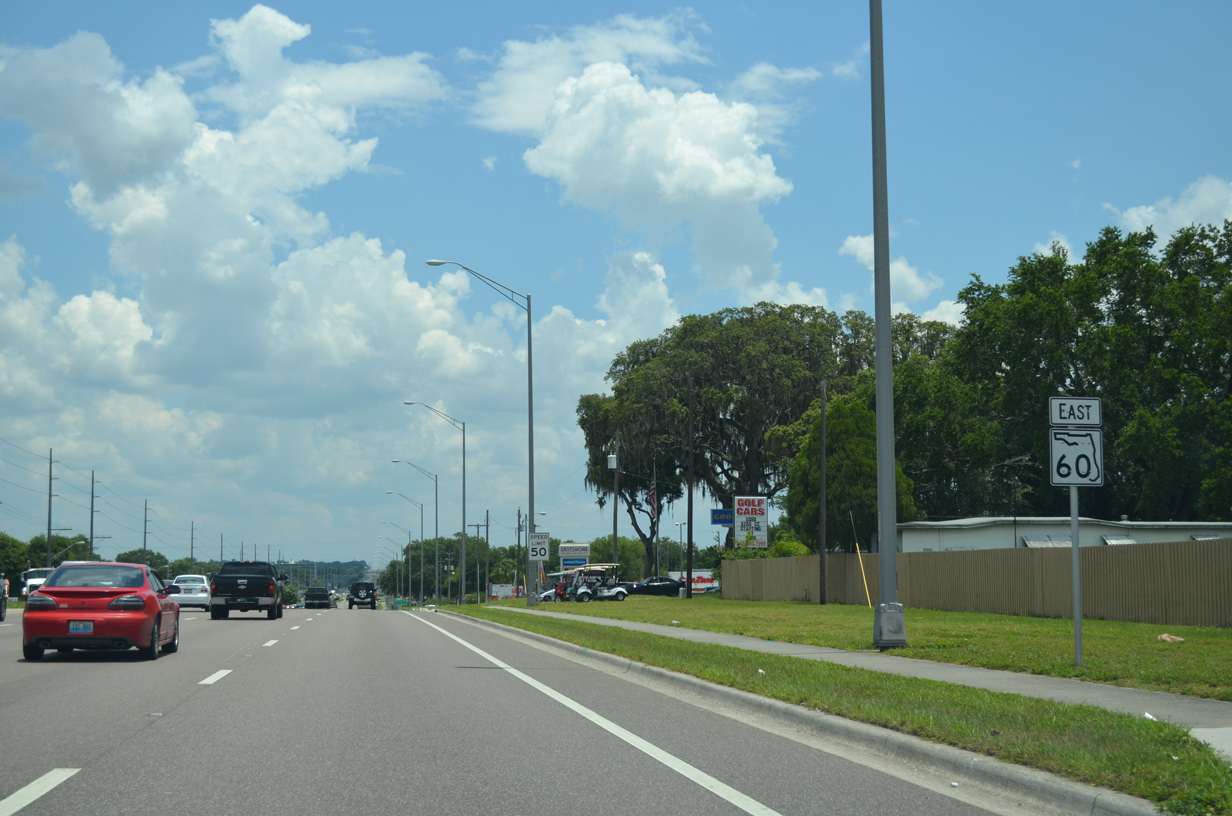
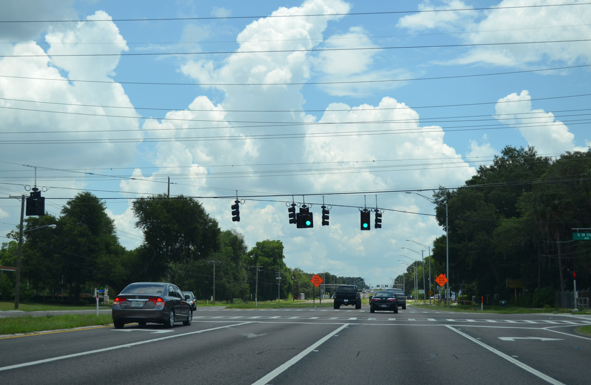
SR 60 progresses east five miles through the heart of Brandon. The Polk County seat is now 34 miles away.
04/27/15
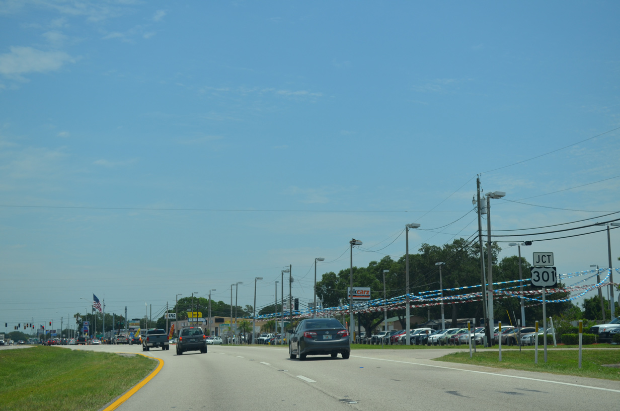
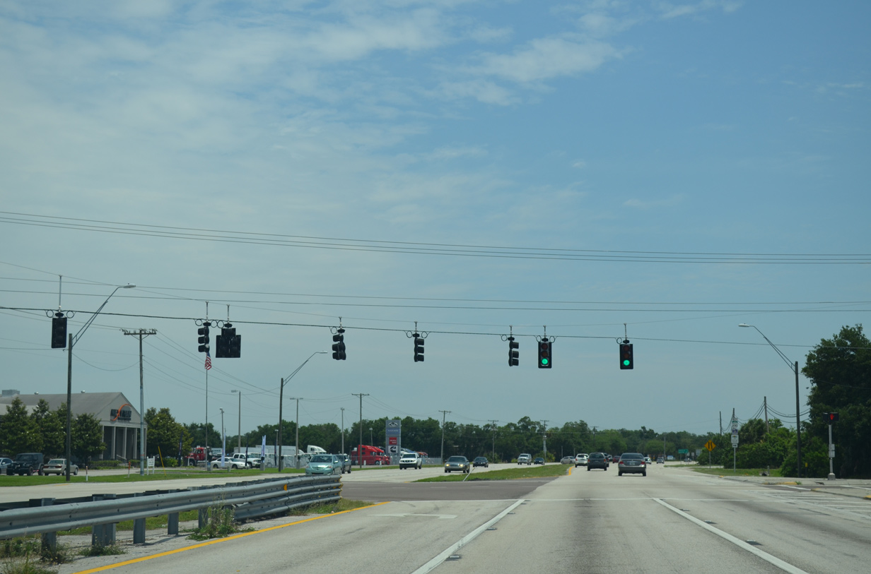
SR 60 (Adamo Drive) curves southeast to the junction with U.S. 301 at unincorporated South Tampa.
04/27/15

U.S. 301 parallels I-75 south to Riverview and Sun City Center and north to Eureka Springs and Temple Terrace as a busy, mostly suburban arterial route. North from Hillsborough County, U.S. 301 continues to the Pasco County seat of Zephyrhills.
04/27/15
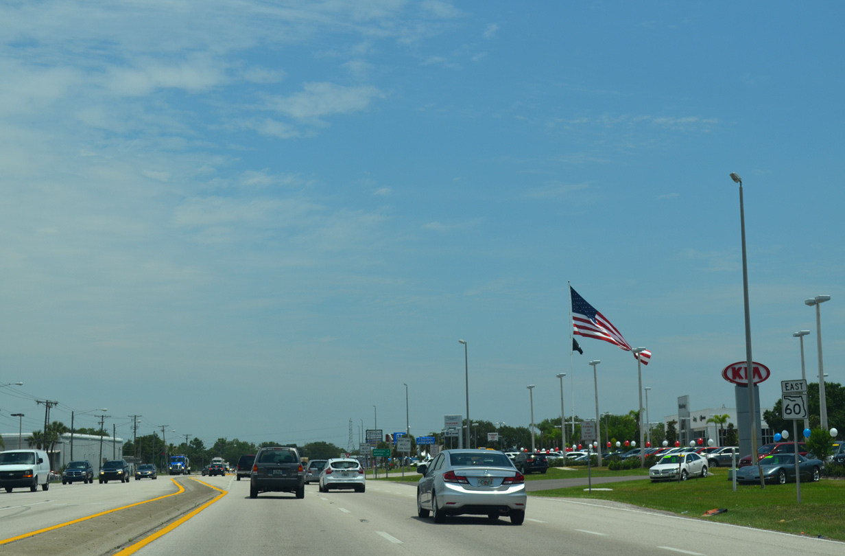
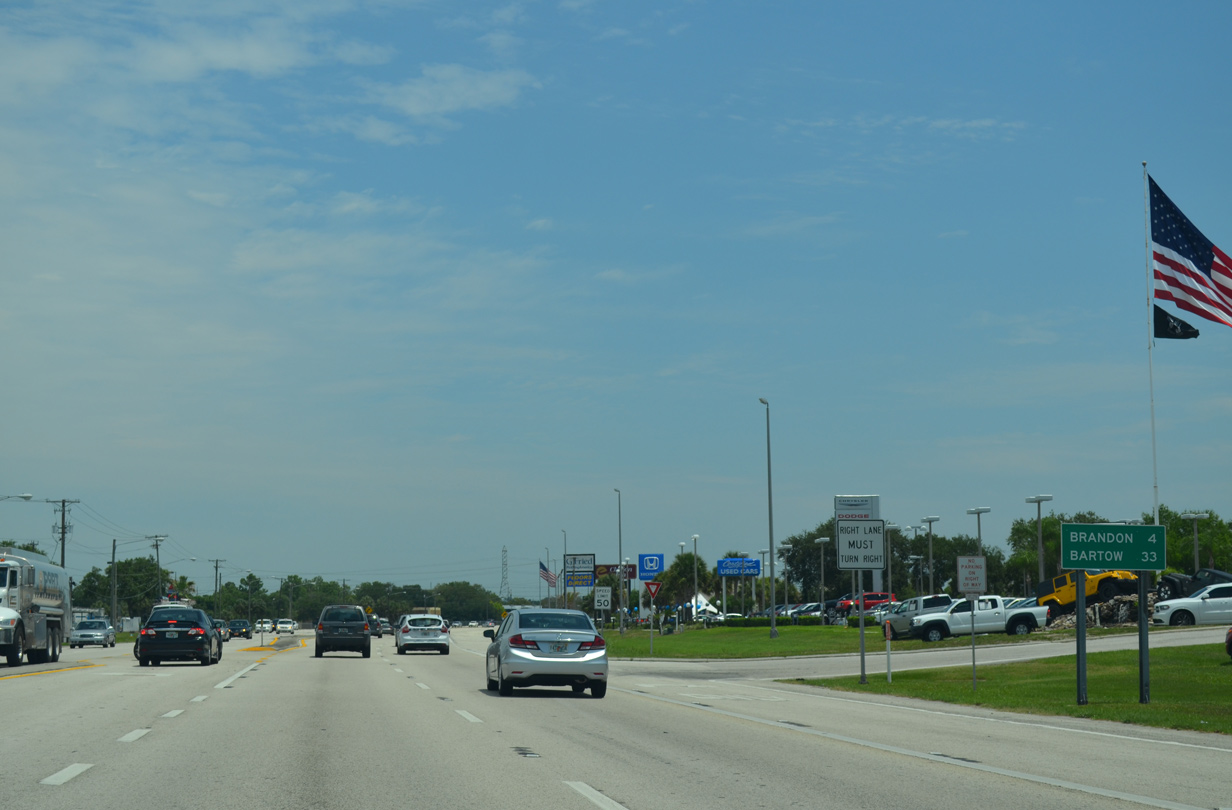
A number of car dealerships accompany the array of industrial businesses lining Adamo Drive east from U.S. 301.
04/27/15
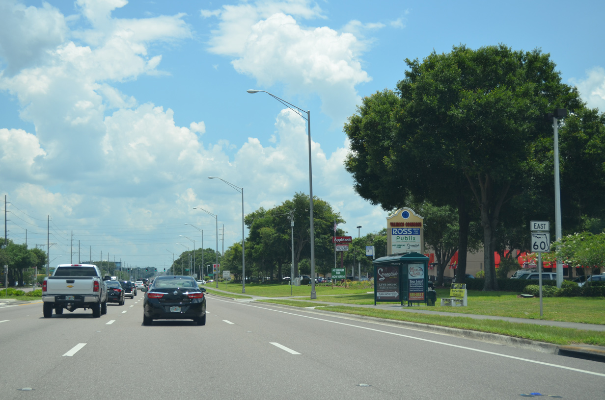
Brandon represents a large unincorporated suburb east of Interstate 75 and south of U.S. 92. SR 60 bisects the community as a slow moving six and eight lane arterial in four miles.
04/27/15
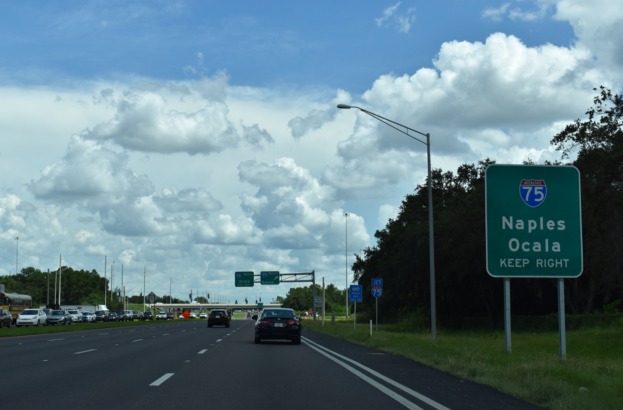
SR 60 (Adamo Drive) enters a six-ramp parclo interchange with Interstate 75 to the immediate east of Falkenburg Road.
08/28/18
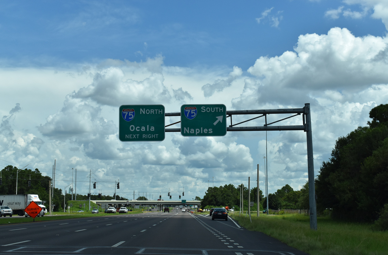
Traffic joining southbound I-75 initially follow a c/d roadway through the exchange with SR 618 (Selmon Expressway). The commuter freeway continues from there to Gibsonton, Riverview and Sun City Center.
08/28/18
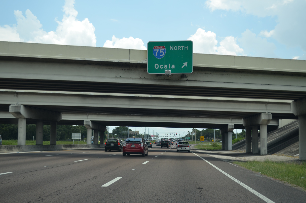
A loop ramp takes traffic from SR 60 east onto Interstate 75 north toward I-4 and Ocala, Gainesville and Lake City.
05/31/16
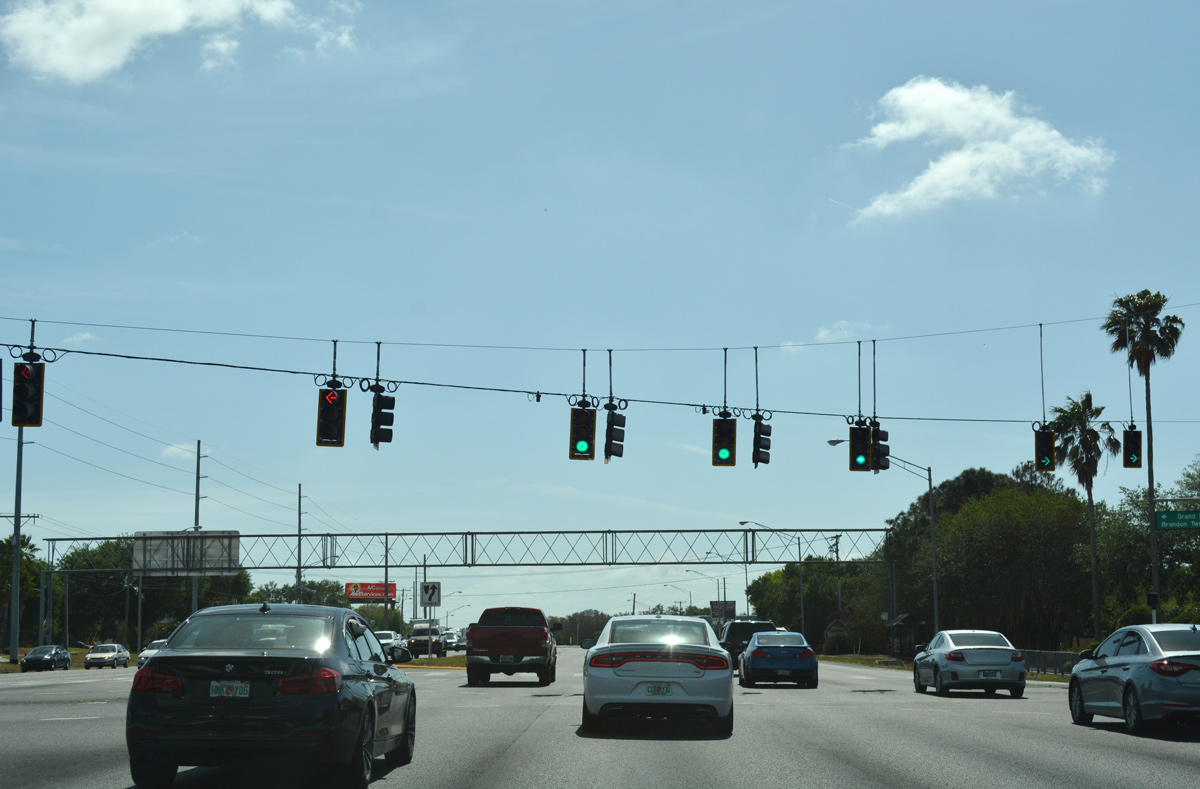
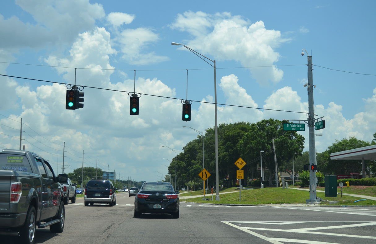
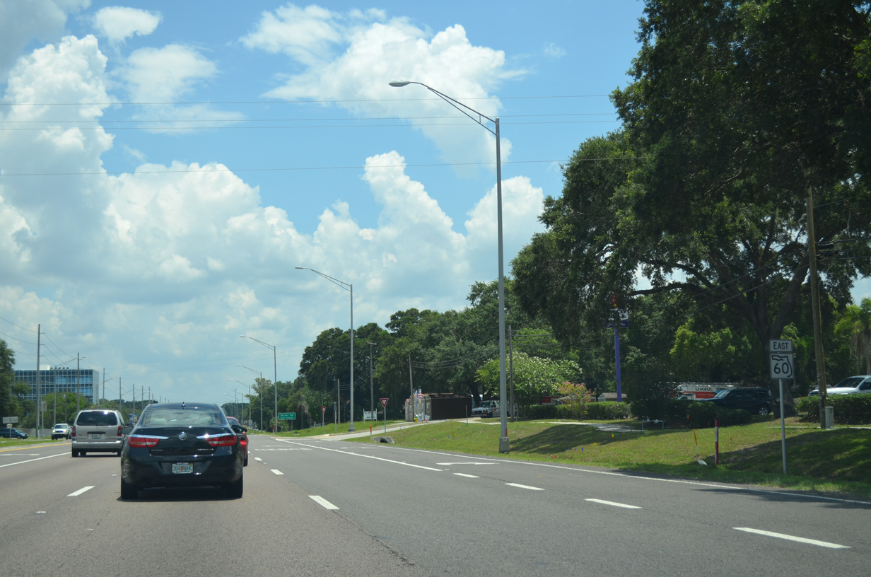
SR 60 continues east from I-75 along Brandon Boulevard with eight overall lanes. The ensuing signal links with Grand Regency Boulevard north and Brandon Town Center Drive south to adjacent retail areas.
03/30/18
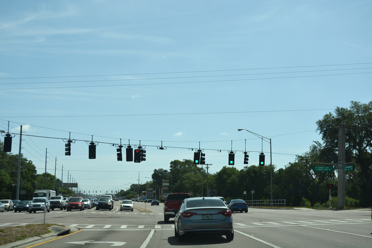
Gornto Lake Road winds northward from Bloomingdale Avenue through an array of town home communities, subdivisions, apartment complexes and big box retail to intersect SR 60 (Brandon Boulevard) by Tenmile Lake.
03/30/18

Providence Road leads south to connect Brandon Boulevard with additional apartment complexes, retail and Brandon Boulevard west to the Selmon Expressway (SR 618).
03/30/18
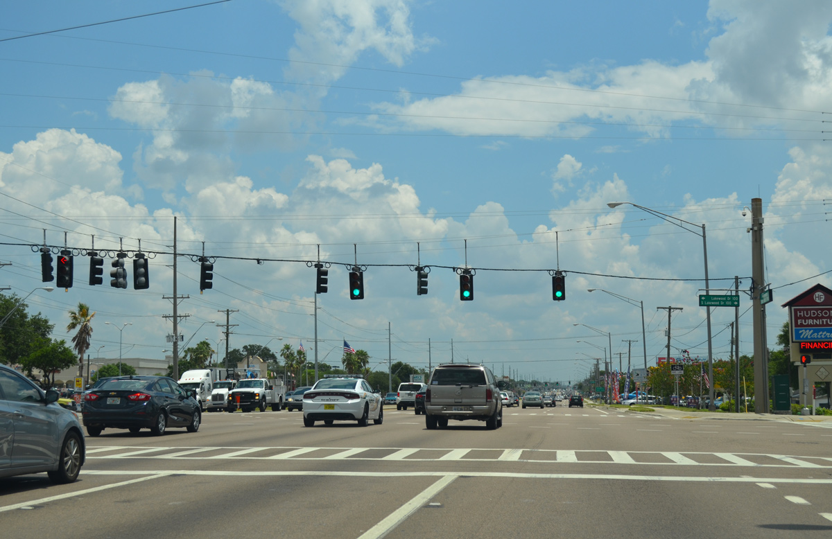
Lakewood Drive extends north from the southern section of Providence Road at Brandon Parkway to meet SR 60 at the succeeding traffic light eastbound. North from Brandon Boulevard, Lakewood Drive narrows to two lanes en route to Mango.
05/31/16
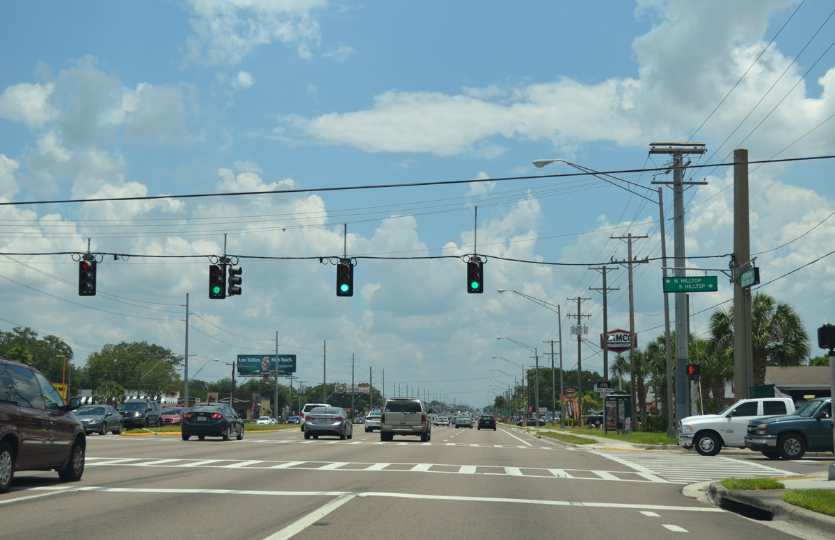
Hilltop Road leads south and north to residential areas beyond the commercial strip along Brandon Boulevard.
05/31/16
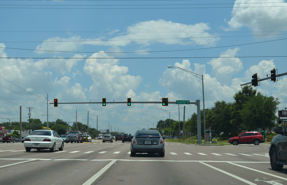
Kings Avenue heads south from Victoria Street to become a four lane boulevard south from SR 60 to Bloomingdale Avenue and Bloomingdale.
05/31/16
SR 60 eastbound reduces to three lanes along Brandon Boulevard beyond Kings Avenue.
05/31/16
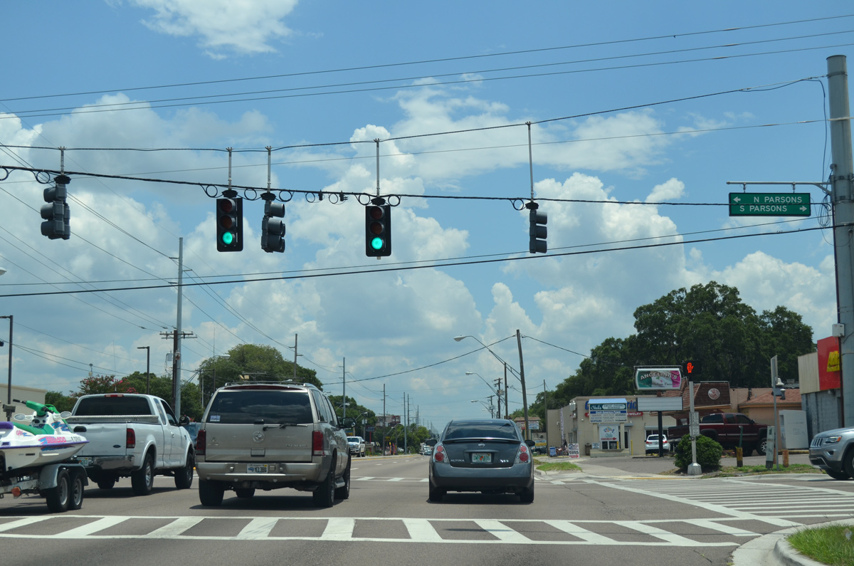
Advancing east through central Brandon, SR 60 meets Parsons Avenue north to Seffner and south to Bloomingdale.
05/31/16
Reassurance marker posted between Parsons Avenue and the split with Lithia Pinecrest Road (CR 640) south.
05/31/16
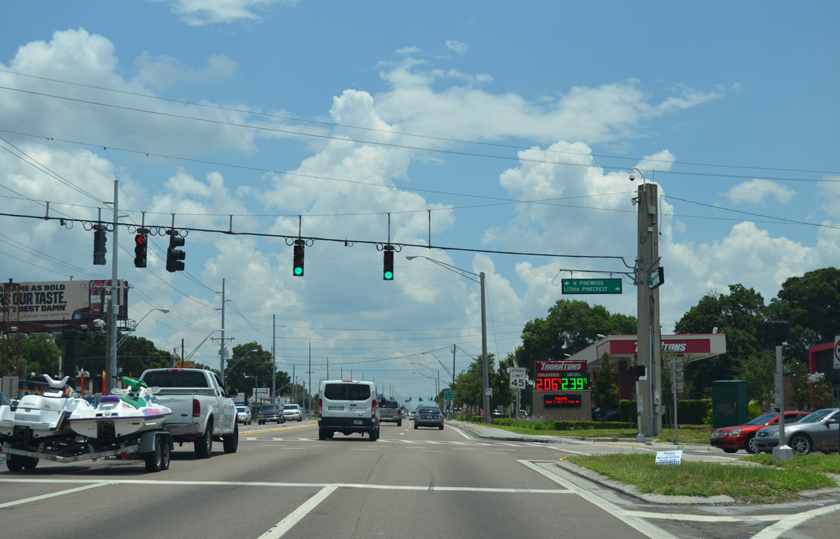
Unmarked in Hillsborough County, County Road 640 (Lithia Pinecrest Road) branches southeast from SR 60 to Bloomingdale to Lithia. The 51 mile route extends across Polk County to SR 17 near Lake Wales. Pinewood Avenue ties in from residential areas to the north.
05/31/16
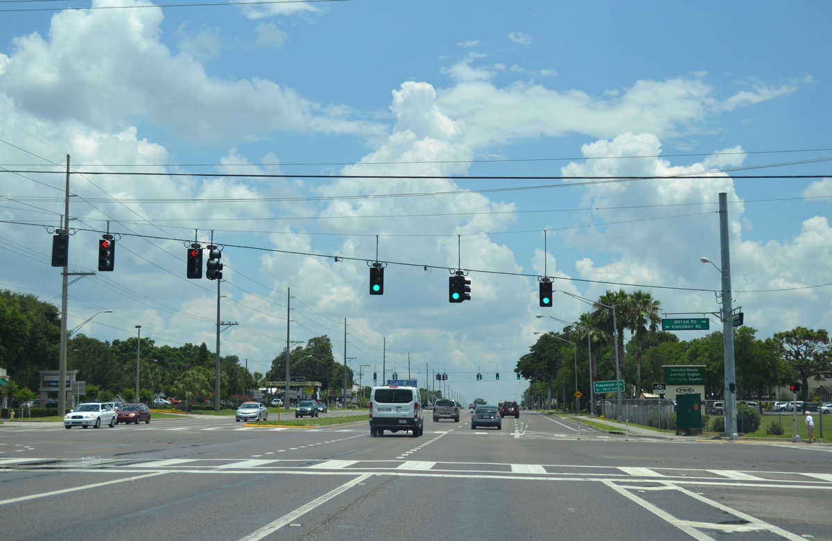
Bryan Road heads north from Bloomingdale to become Kingsway Road at SR 60 in Brandon. Kingsway Road continues north to SR 574 and U.S. 92 at Seffner.
05/31/16
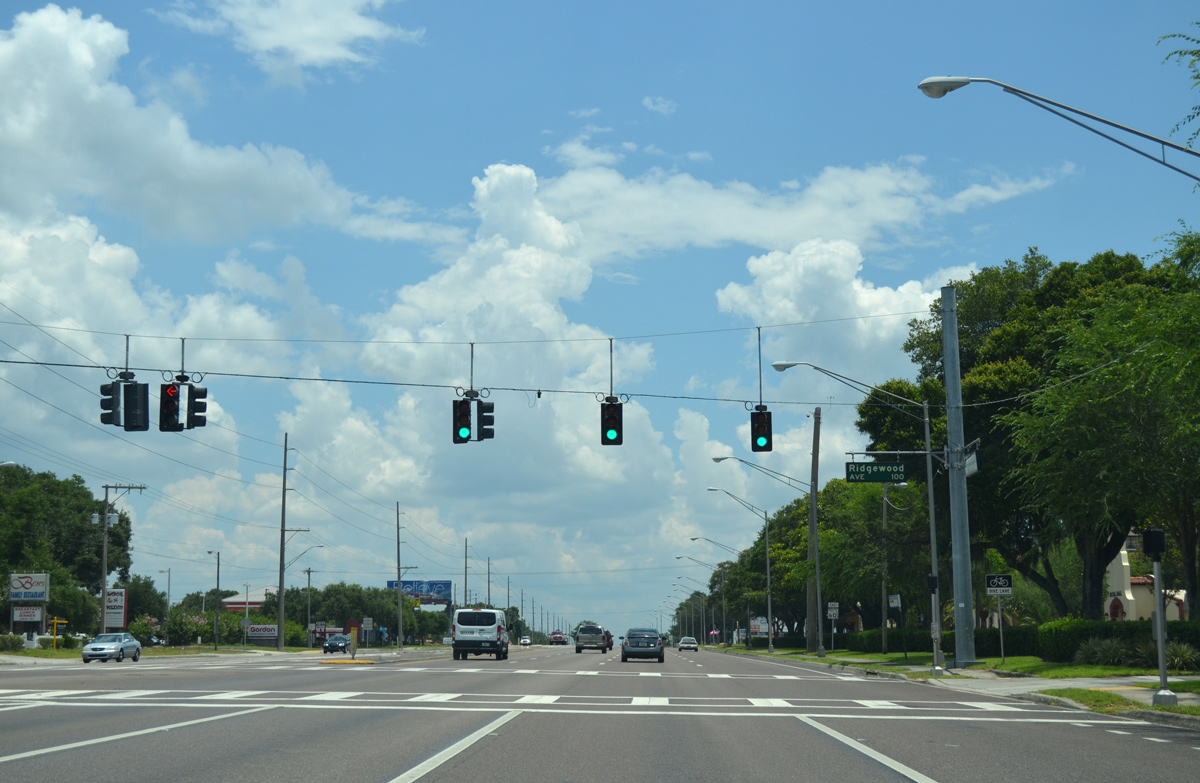
SR 60 (Brandon Boulevard) east at Ridgewood Avenue north and a church entrance to the south.
05/31/16
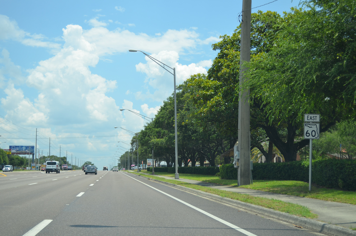
SR 60 expands into an eight lane arterial again east of Kingsway Road. This reassurance stands east of Ridgewood Avenue.
05/31/16
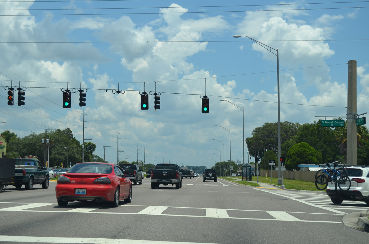
Big box retail lines both sides of Brandon Boulevard leading to the signal at Mt. Carmel Road.
05/31/16
Brandon Boulevard ends at Mt. Carmel Road, with the remainder of SR 60 named just State Road 60.
05/31/16
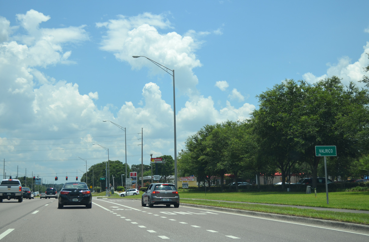
SR 60 eastbound leaves Brandon and enters Valrico.
05/31/16
The right lane defaults onto Valrico Road south to the Brentwood Hills, Buckhorn Golf Club Estates and CR 640 (Lithia Pinecrest Road) in Bloomingdale. Valrico Road bee lines 3.4 miles north from SR 60 to SR 574.
05/31/16
A lane drop occurs along SR 60 east from Valrico Road.
05/31/16
SR 60 intersects Miller Road with four lanes.
05/31/16
Continuing east through Valrico, the next signal along SR 60 is with St. Cloud Avenue.
05/31/16
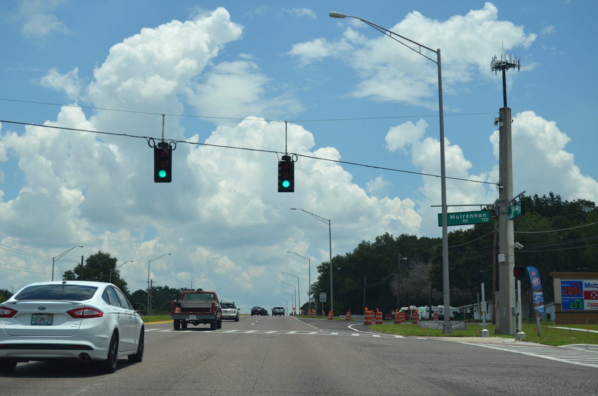
Mulrennan Road connects SR 60 north with the Somerset community and south to neighborhoods including Copper Ridge, Mulrennan Groves and Brandon Ridge.
05/31/16
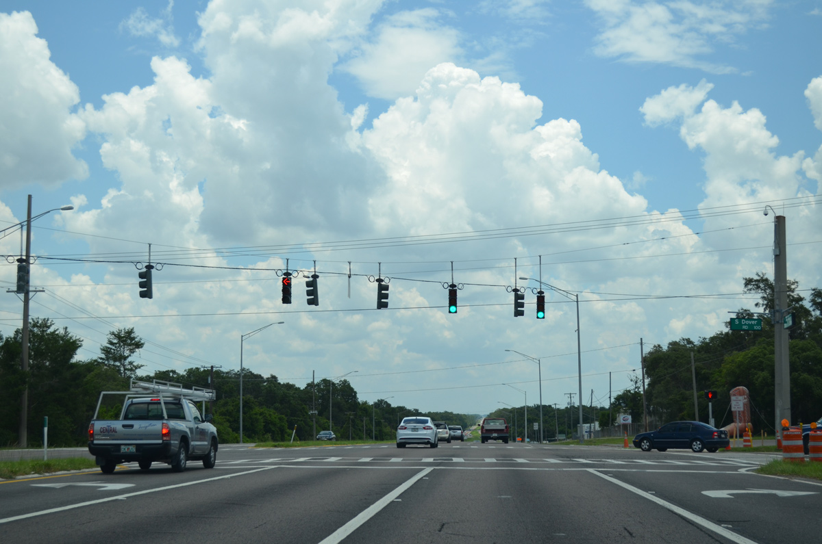
Dover Road crosses SR 60 north from Durant Road to SR 574 at Moores Lake Road in Dover.
05/31/16
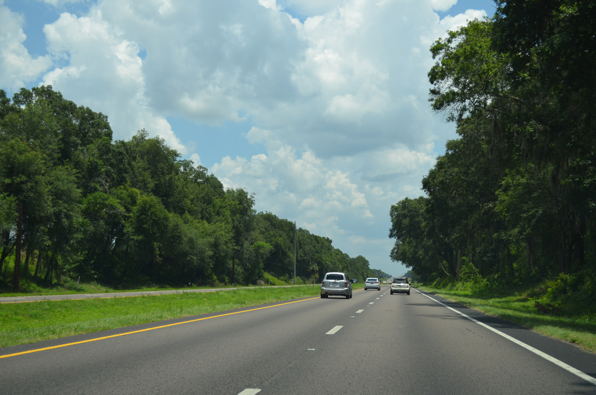
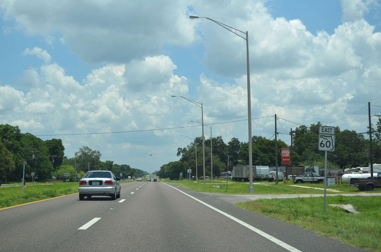
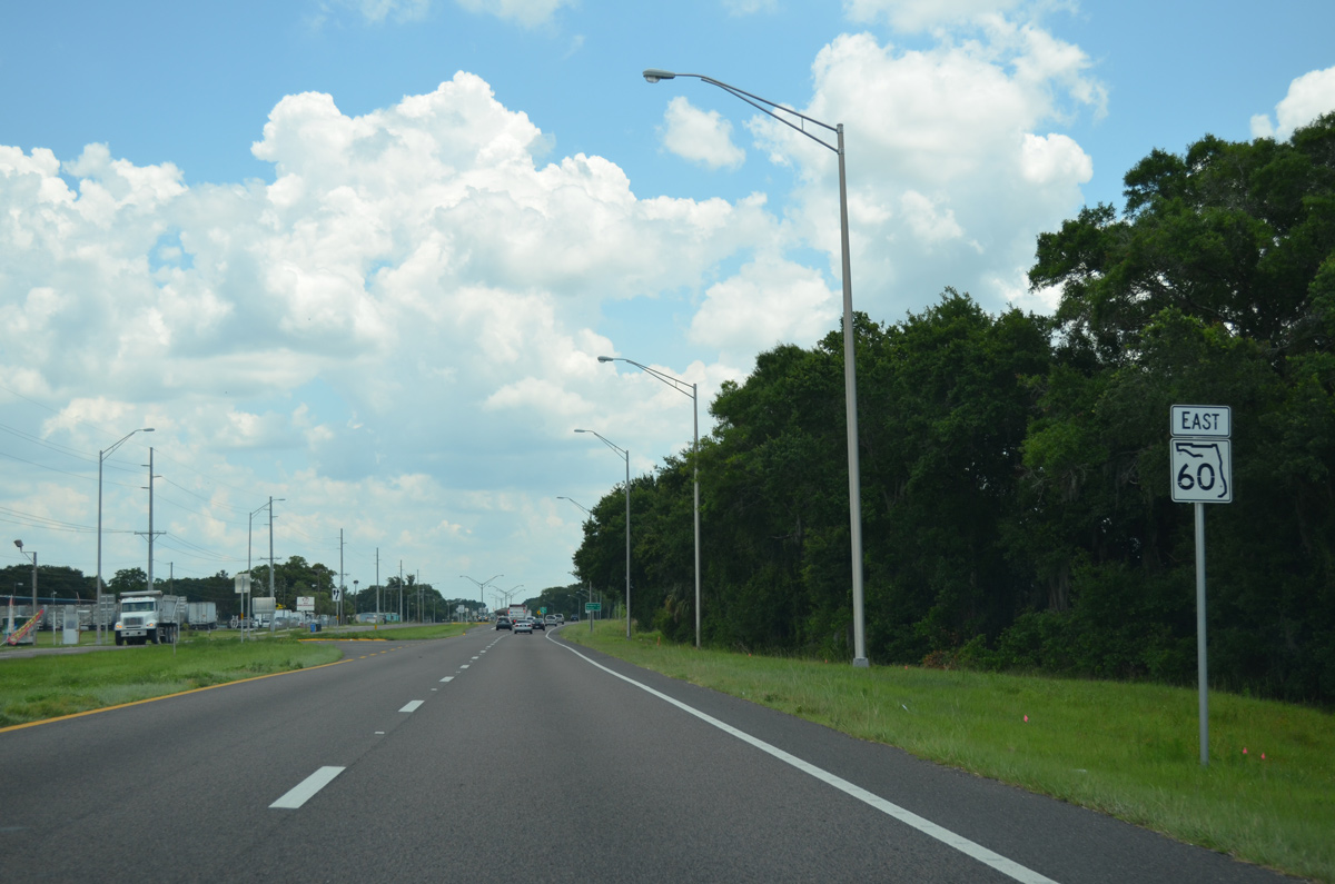
39 miles after beginning in Clearwater Beach, SR 60 transitions into a rural highway for the first time.
05/31/16
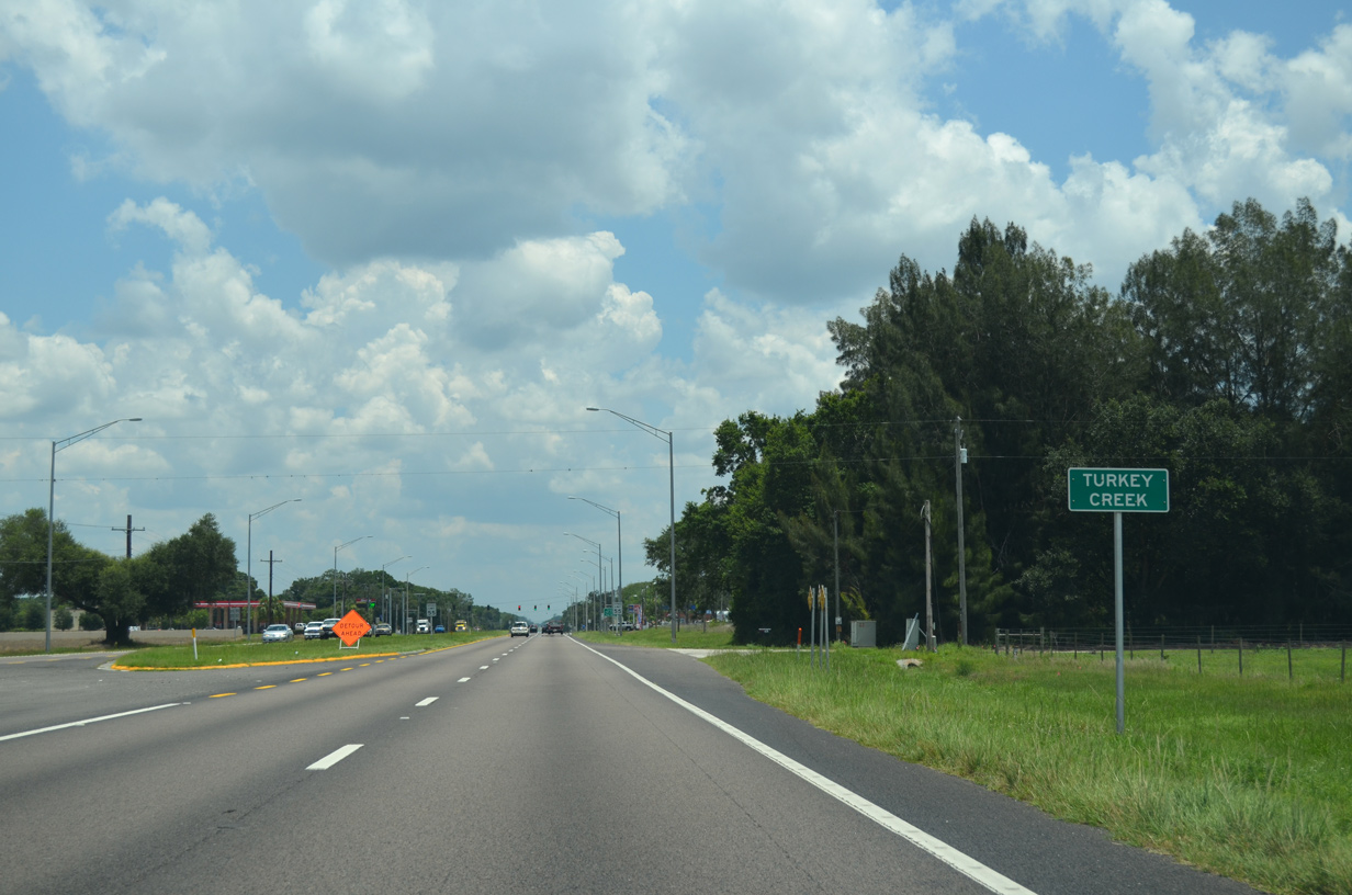
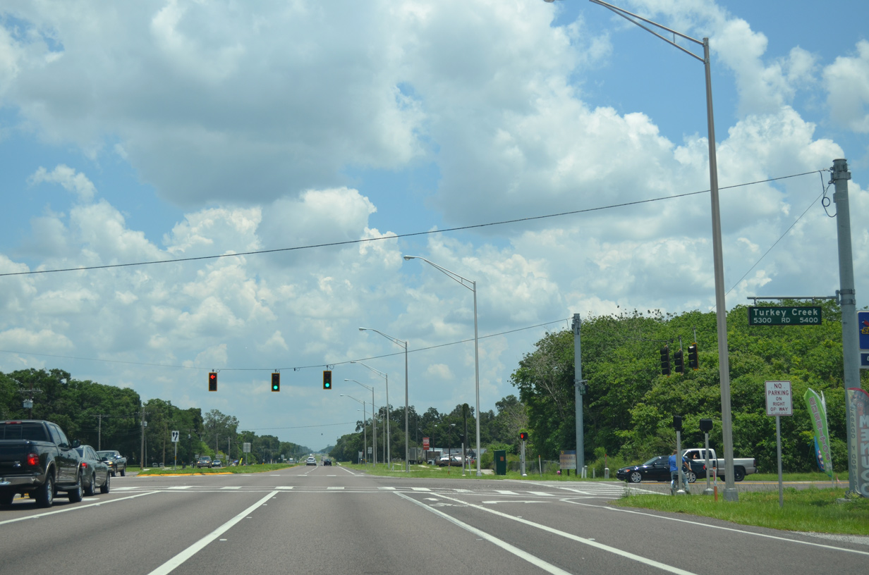
SR 60 east reaches the community of Turkey Creek.
05/31/16
Turkey Creek Road ventures north from SR 60 and Turkey Creek through western areas of Plant City to U.S. 92 (Hillsborough Avenue). Southward, Turkey Creek Road continues to Durant.
05/31/16
East from Turkey Creek Road, SR 60 runs along the north side of Medard Park.
05/31/16

The unincorporated community of Hopewell follows along SR 60 east after Medard Park.
05/31/16
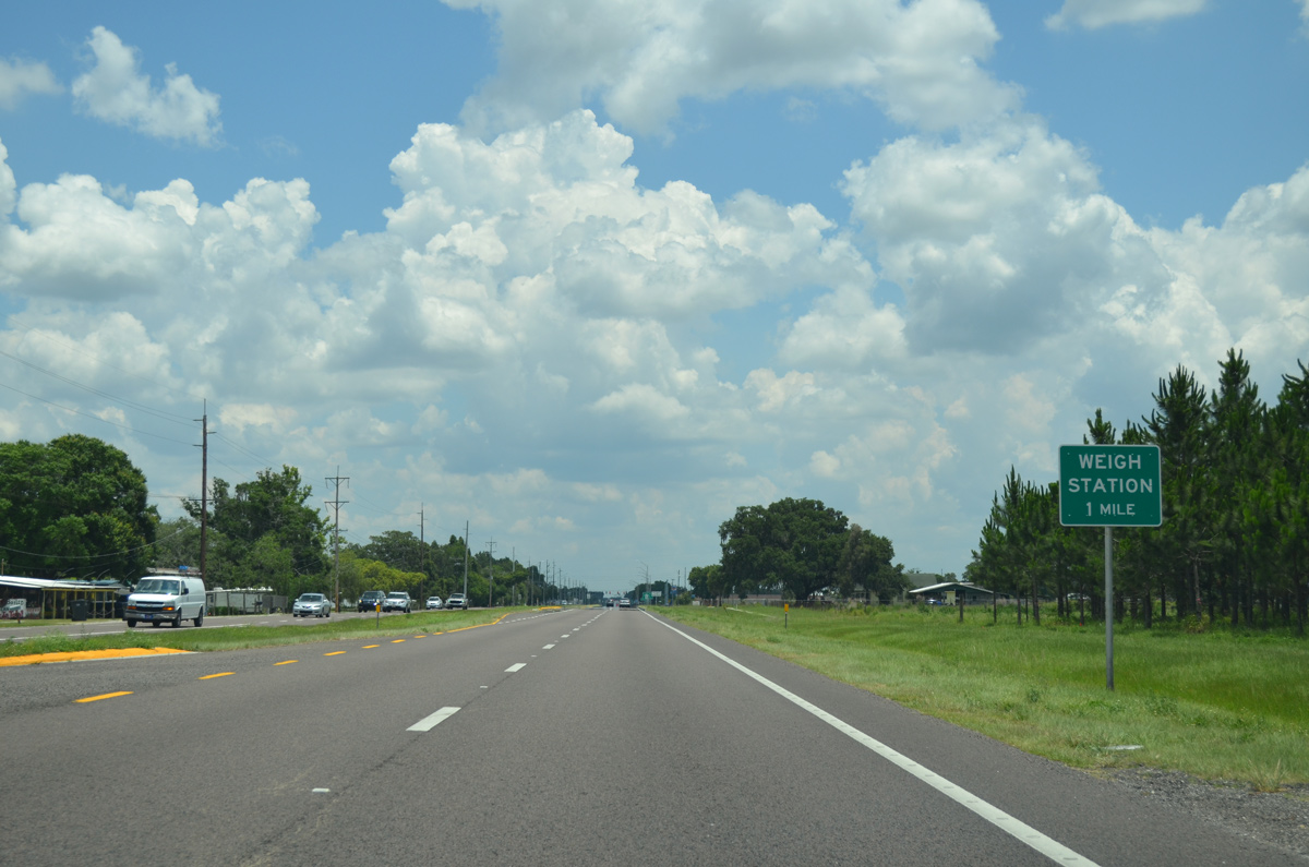
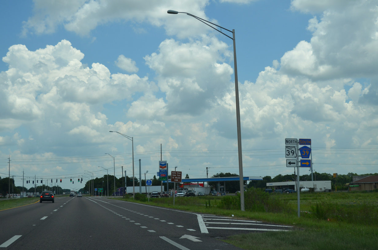
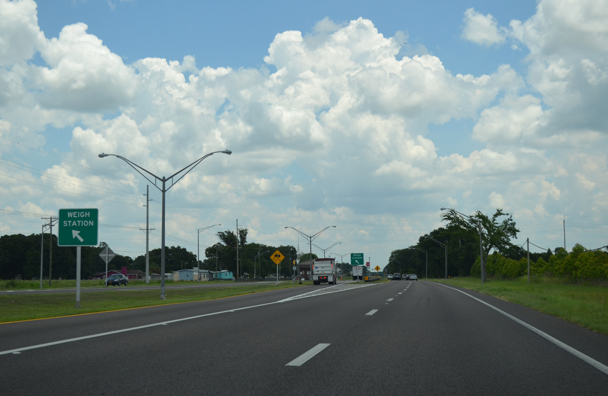
Truckers are alerted to an upcoming weigh station, located just east of the upcoming junction with CR 39 south and SR 39 north.
05/31/16
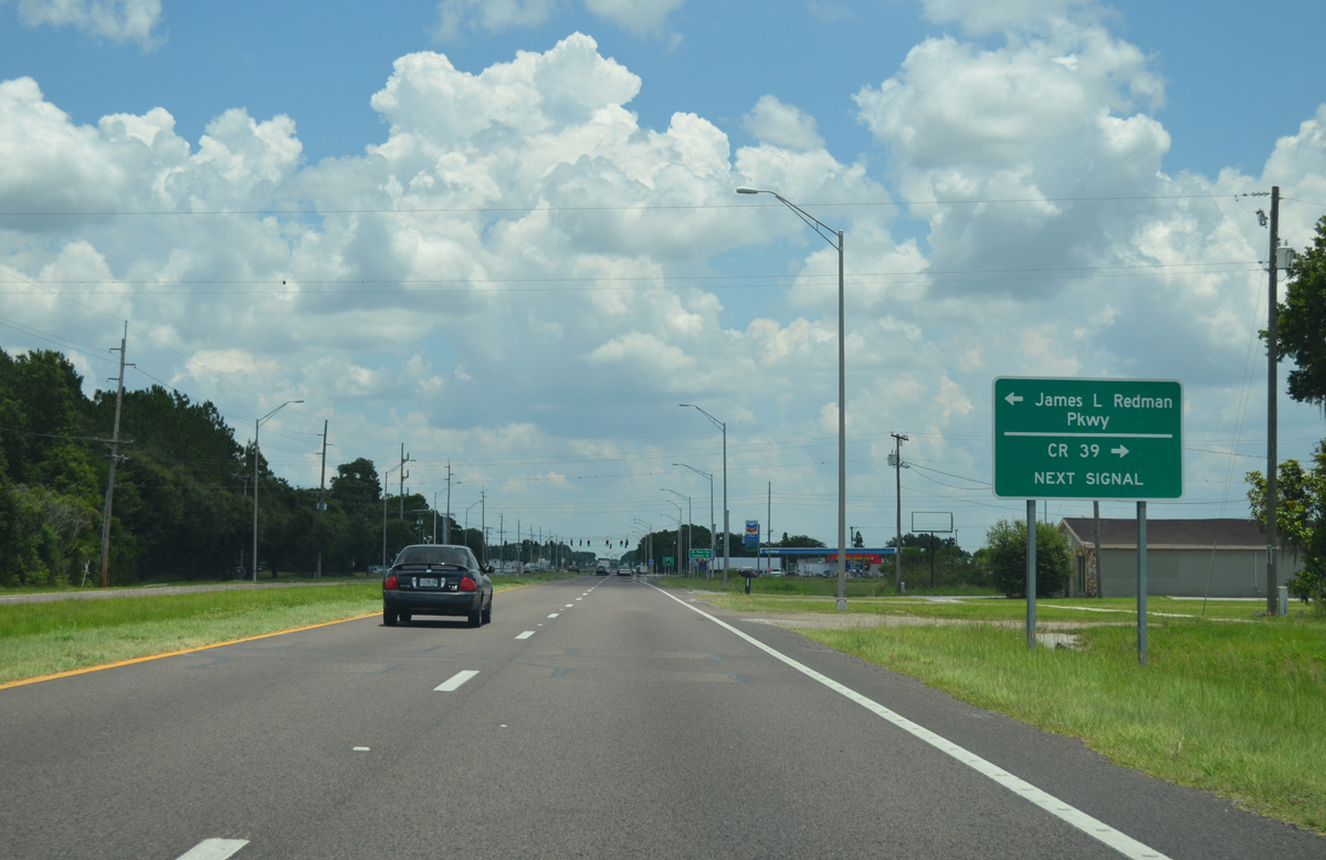
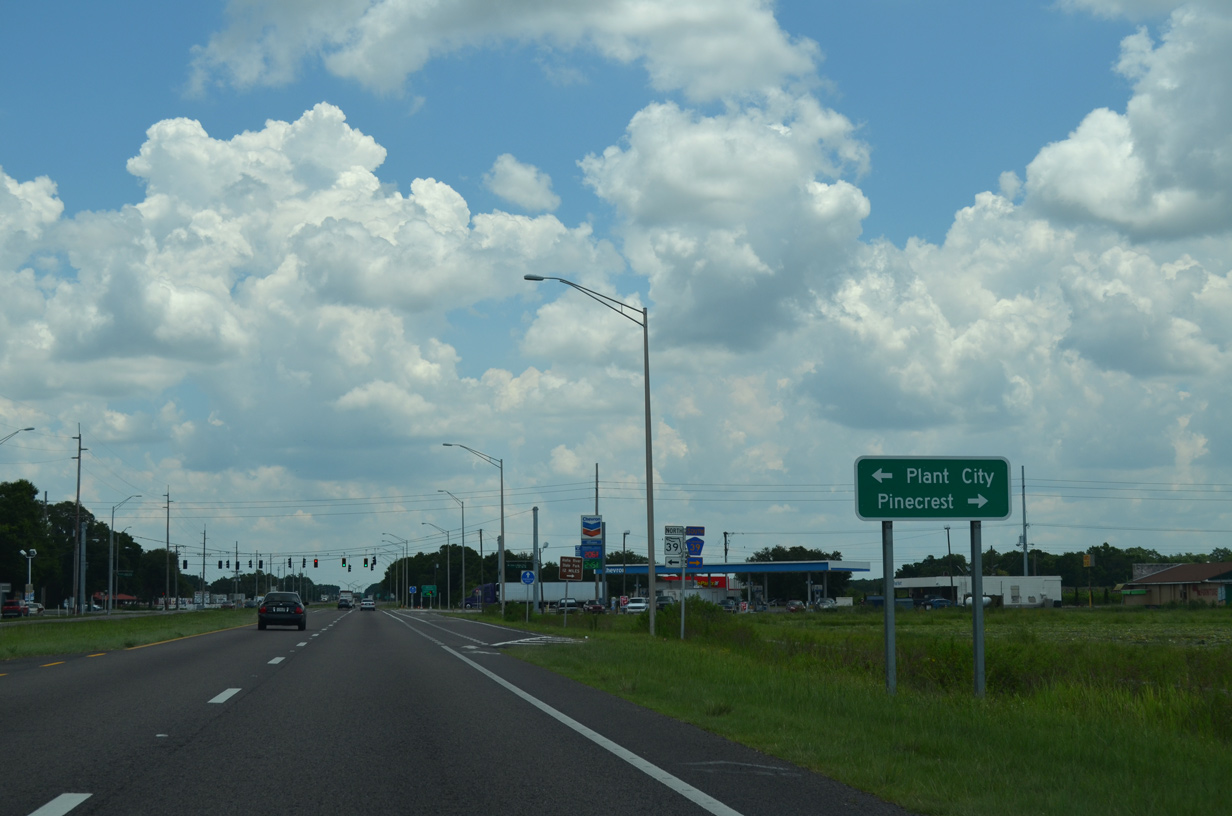
SR 39 begins and travels 3.5 miles north along James L. Redman Parkway to Alexander Street around Plant City. CR 39 extends south along a two lane course through Hopewell and Aldermans Ford Park.
05/31/16
James L. Redman Parkway leads north to become Collins Street ahead of Downtown Plant City, located 5.4 miles to the north. Prior to the 2013-completion of an extension of Alexander Street north, SR 39 led directly to Downtown Plant City.
05/31/16
County Road 39 ventures 6.5 miles south to CR 640 at Pinecrest and 29.7 miles to end at SR 62 near Duette.
05/31/16
State Road 39 is a 20.6 mile route from SR 60 at Hopewell to U.S. 301 at Zephyrhills.
05/31/16
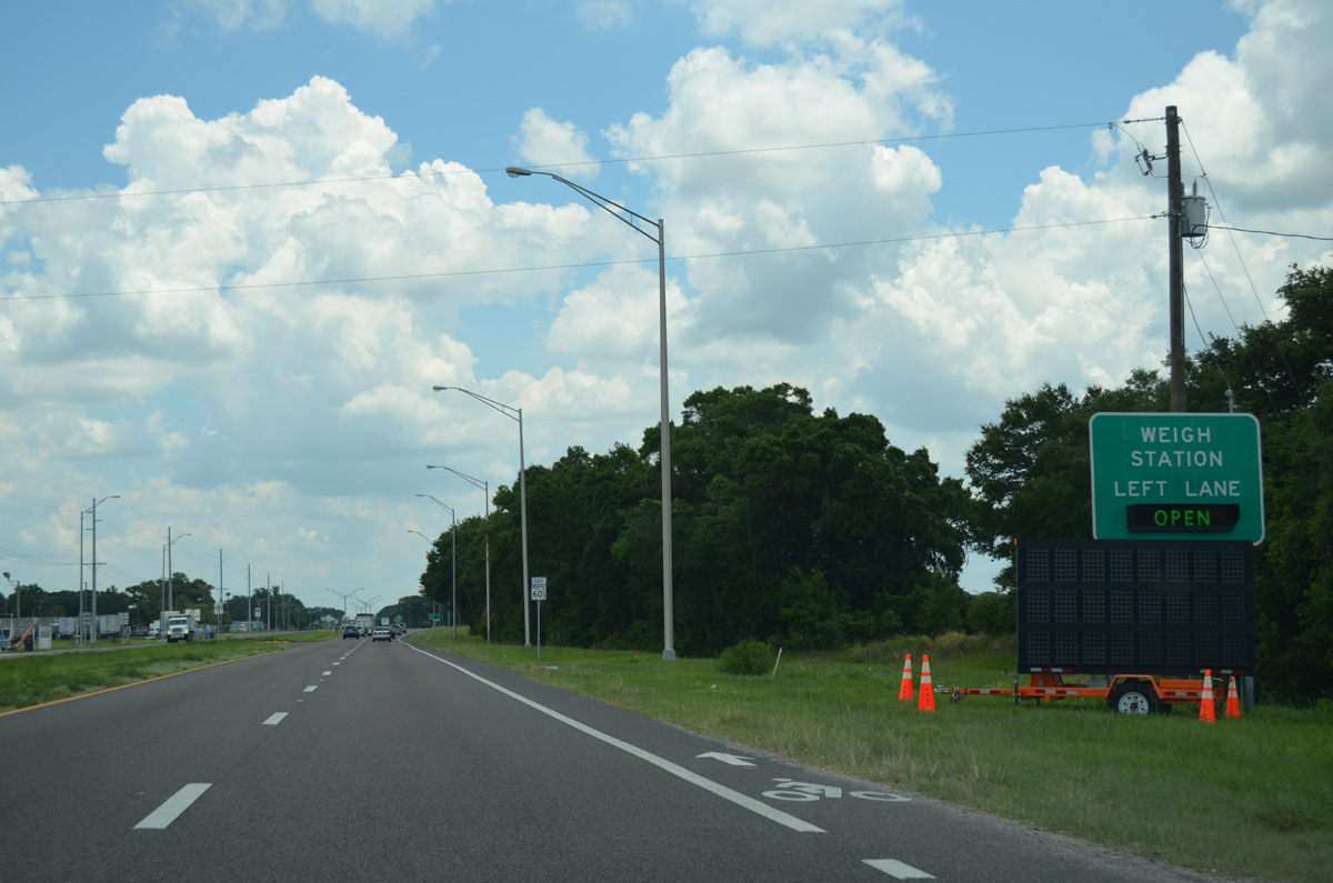
The Hopewell Weigh Station along SR 60 operates in both directions from the median of the four lane highway.
05/31/16
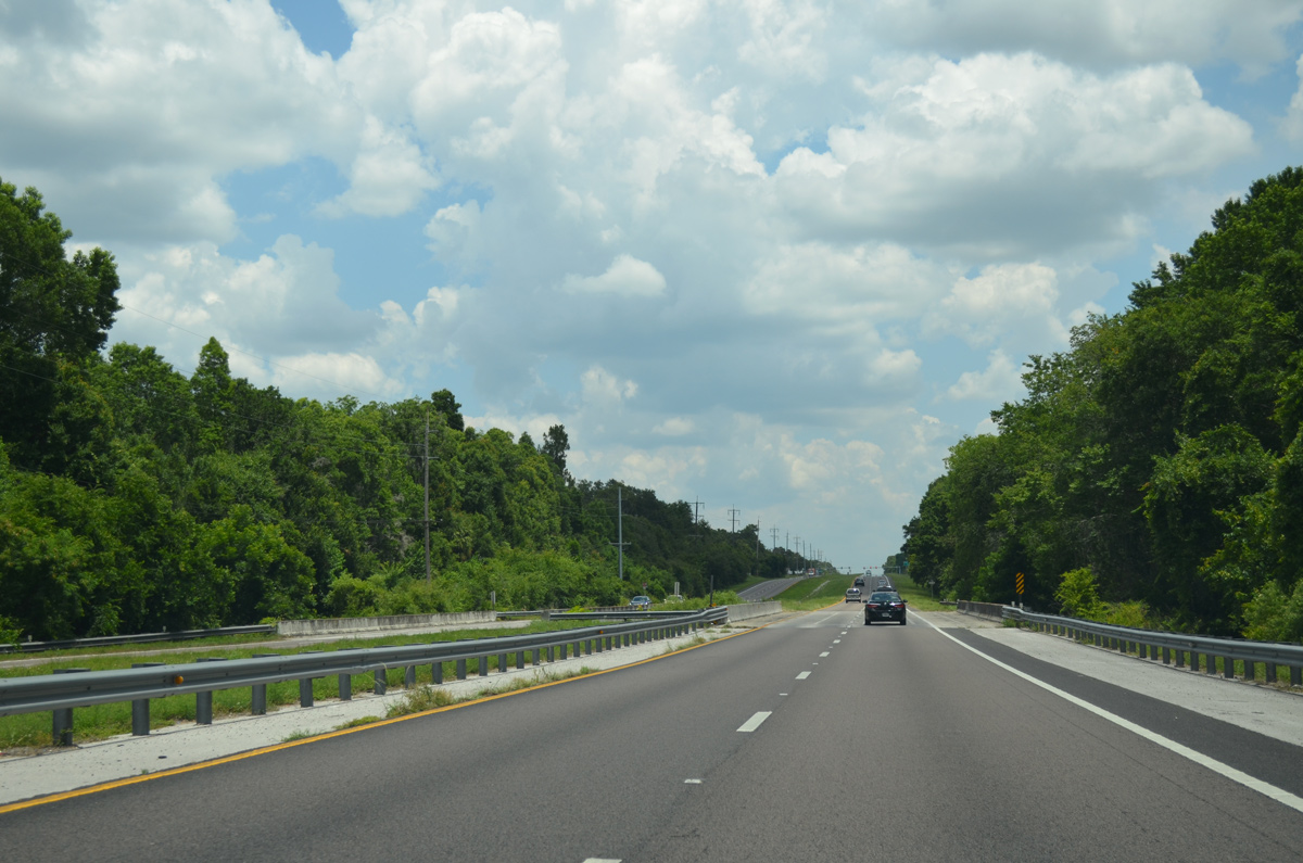
4.2 miles of Hillsborough County remain along SR 60 east from SR 39 at Hopewell.
05/31/16
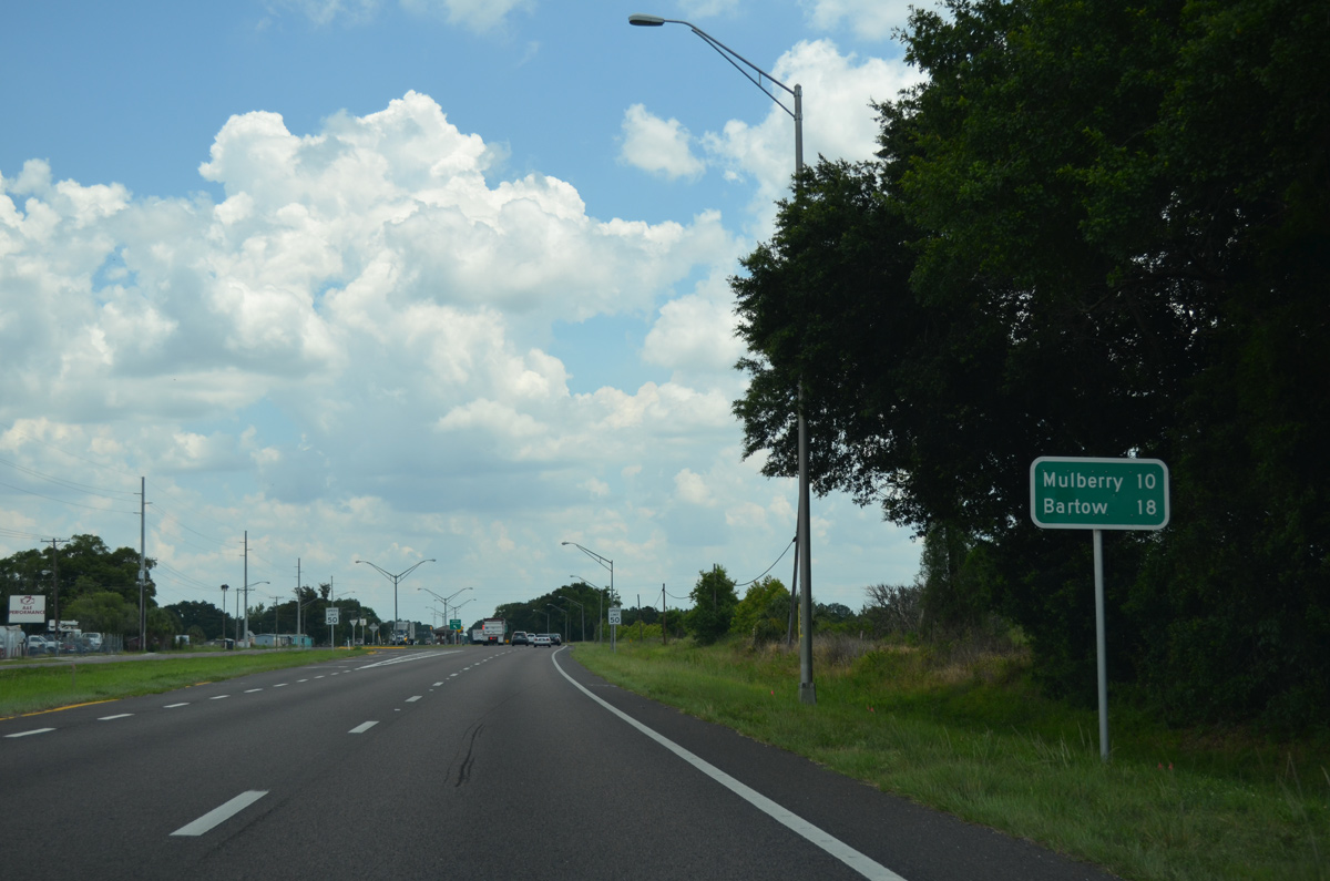
The city of Mulberry lies ten miles ahead along SR 60. The Polk County seat follows in 18 miles.
05/31/16
Eastbound SR 60 at the left ramp for the Hopewell Weigh Station.
05/31/16
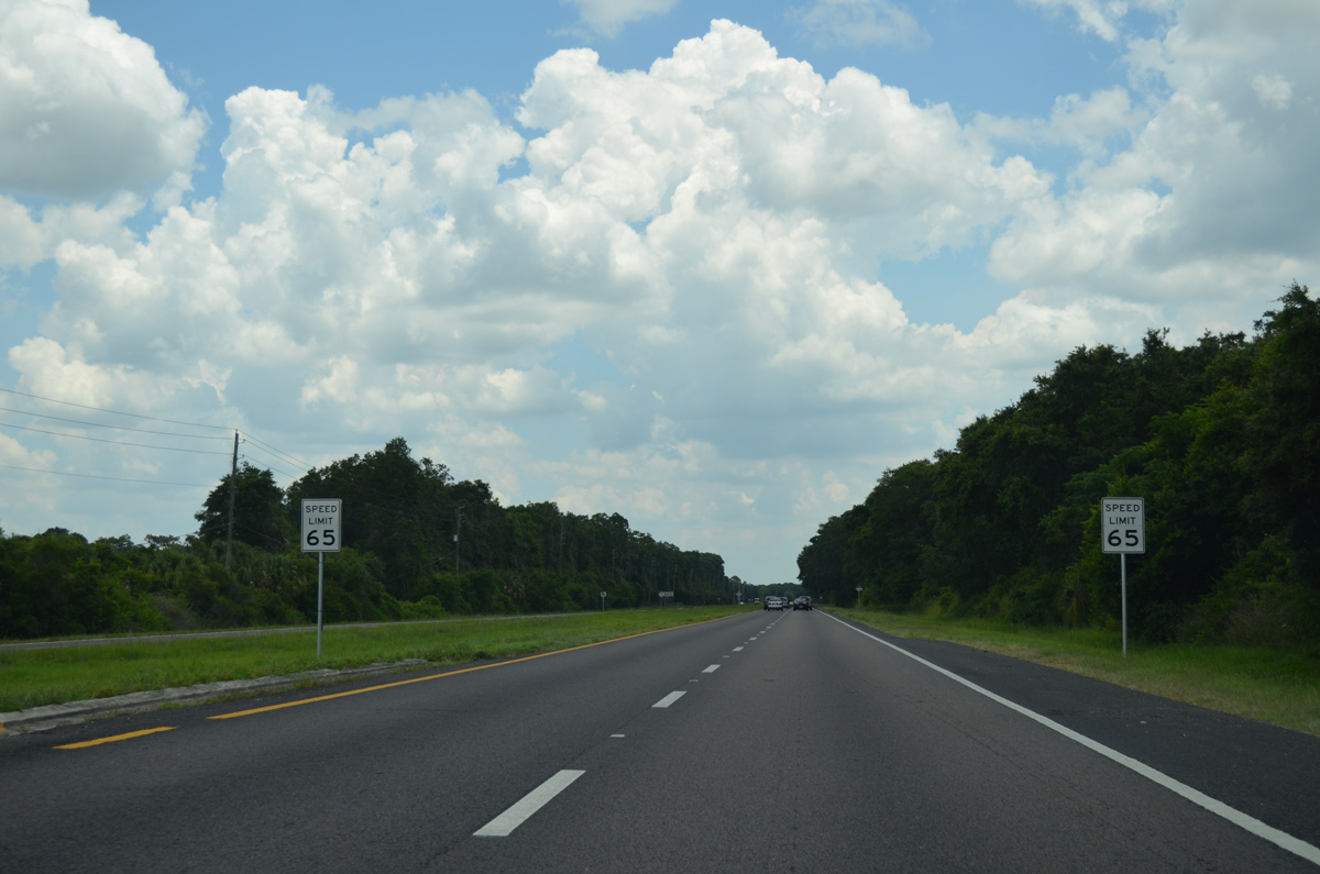
Speed limits increase to 65 miles per hour after the at-grade crossing with the CSX Railroad at Hopewell.
05/31/16
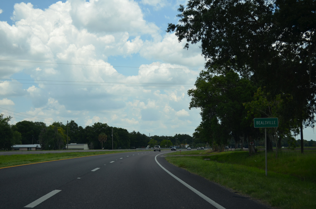
Angling southeast, SR 60 enters the rural community of Bealsville.
05/31/16
SR 60 resumes an eastward heading and spans English Creek.
05/31/16
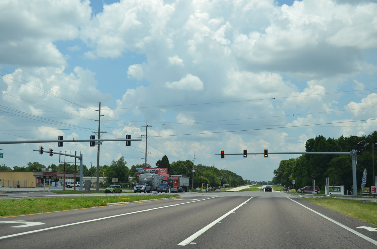
SR 60 intersects the south end of County Line Road at this traffic light. County Line Road is a four lane arterial north to Interstate 4 and Swindell Road.
05/31/16
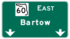

Photo Credits:
- Alex Nitzman: 01/18/14, 04/27/15, 09/05/15, 10/31/15, 05/31/16
- ABRoads: 07/06/13, 04/23/21
- Brent Ivy: 03/30/18, 08/28/18
Connect with:
Page Updated Thursday October 17, 2019.