
State Road 60 East - Indian River County
The 23.5 mile section of State Road 60 between Florida's Turnpike at Yeehaw Junction and Interstate 95 outside Vero Beach was expanded during a seven phase project started on May 28, 2002. The initial three phases, widening the highway 11.5 miles west from I-95, where scheduled to run over a three year, three month period.1 Hampered by delays due to hurricanes in 2004 and 2005 and labor shortages, construction extended into 2007.2 Costs also increased to $120.5 million overall due to a civil lawsuit with the St. Johns Improvement District.3
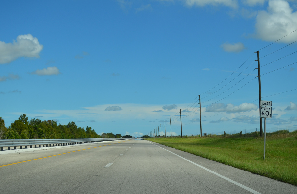
 East
East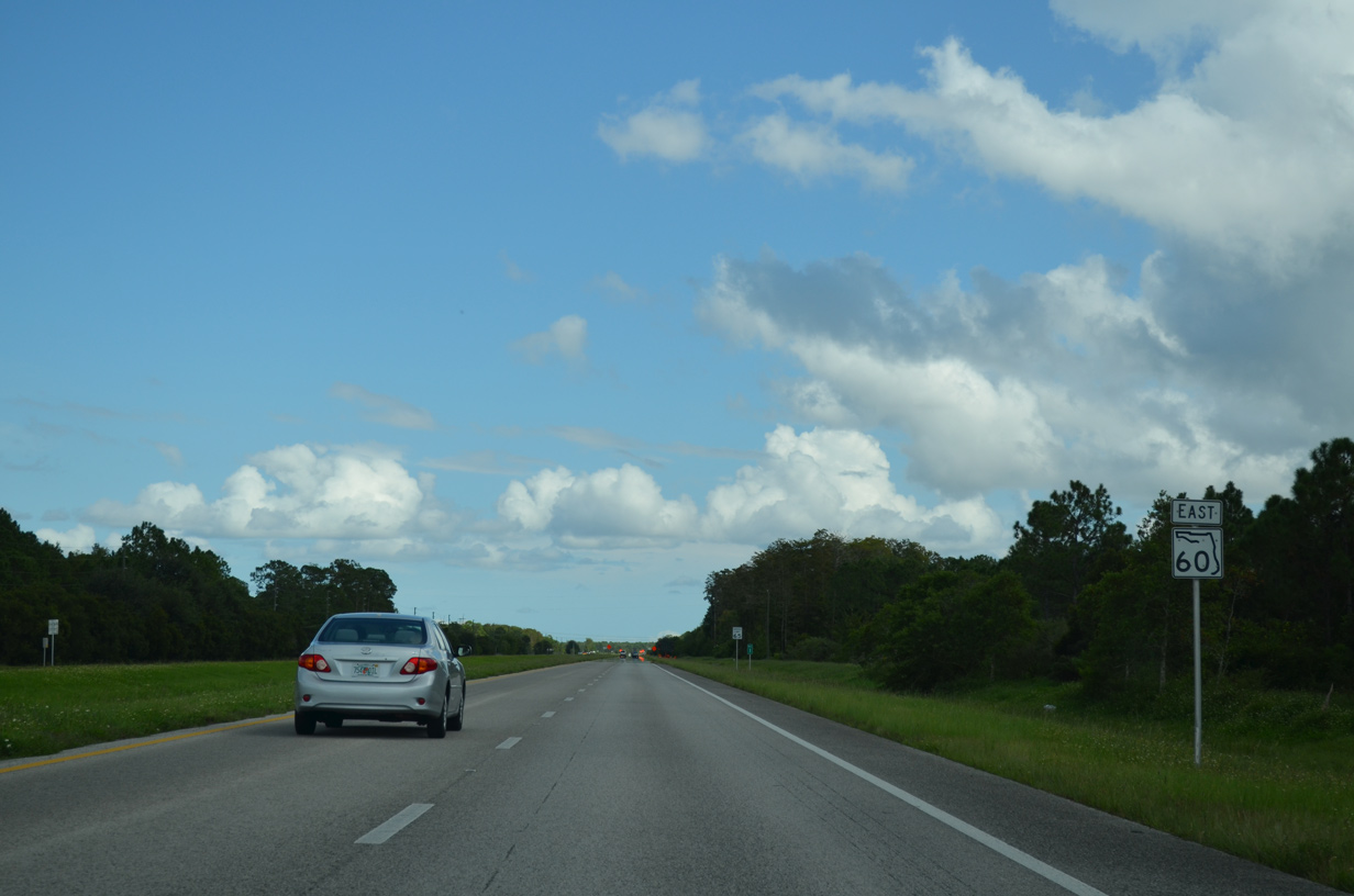
Confirming marker posted just beyond the Osceola County line. State Road 60 measures 33.64 miles across Indian River County.
10/01/15
Mileposts accompany State Road 60 east from the Osceola County line.
10/01/15
SR 60 shifts 2.75 miles southward in latitude, crossing Padgett Branch ahead of St. Johns Marsh.
10/01/15
Distance sign posted east of Blue Cypress Lake Road.
10/01/15
The first of several I-95 trailblazers along SR 60 east precedes 226th Court.
10/01/15
Turning eastward, SR 60 passes near the northeast Okeechobee County.
10/01/15
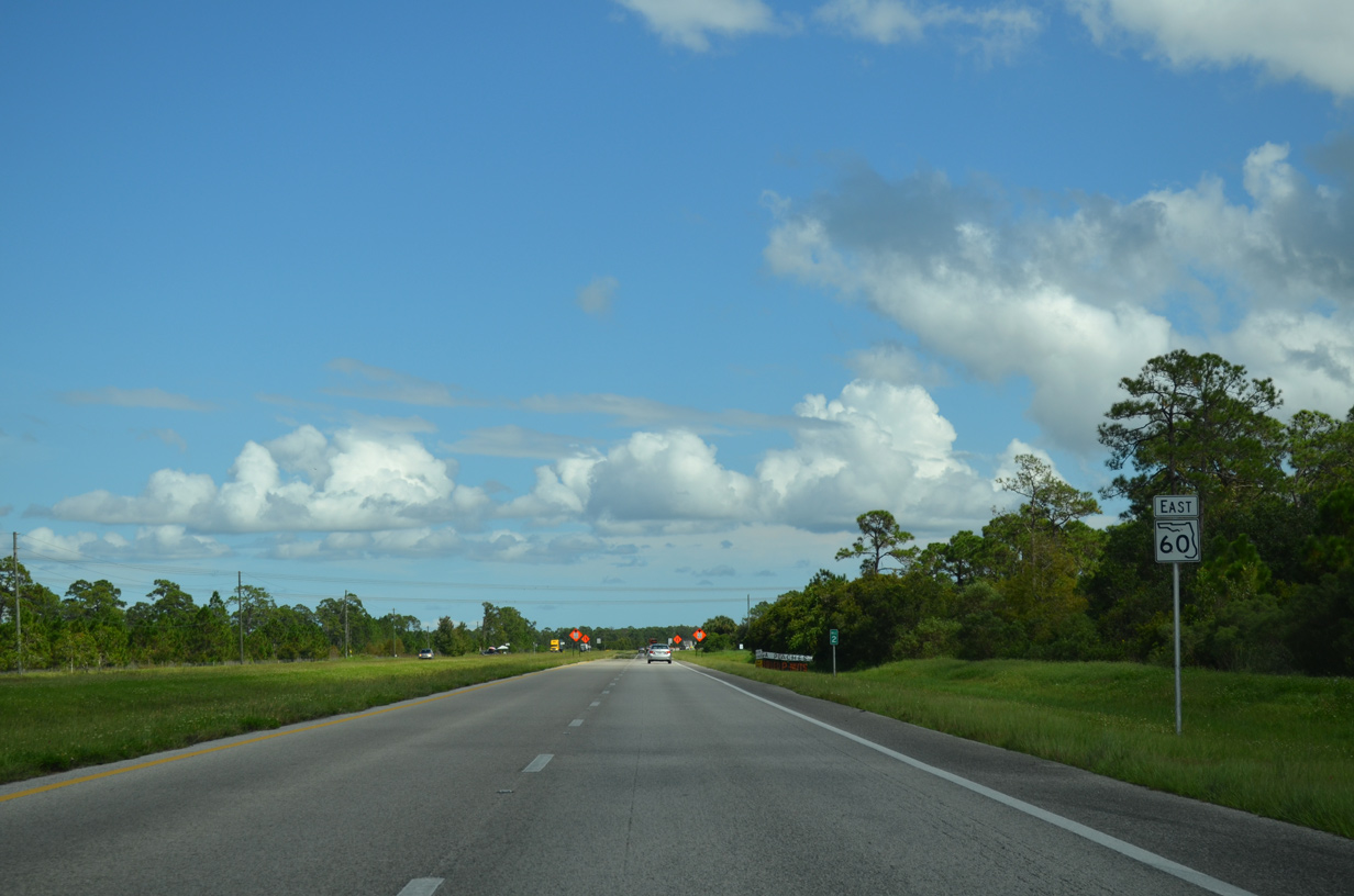
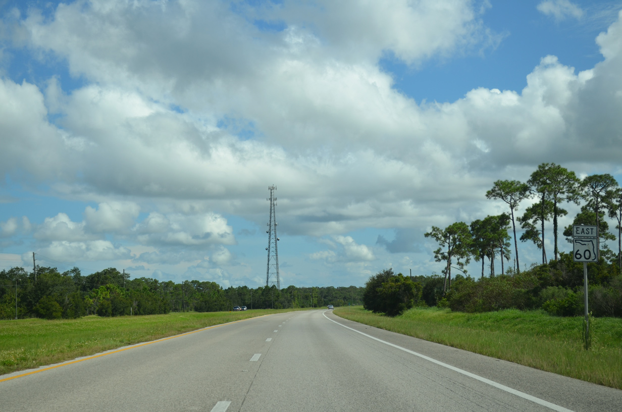
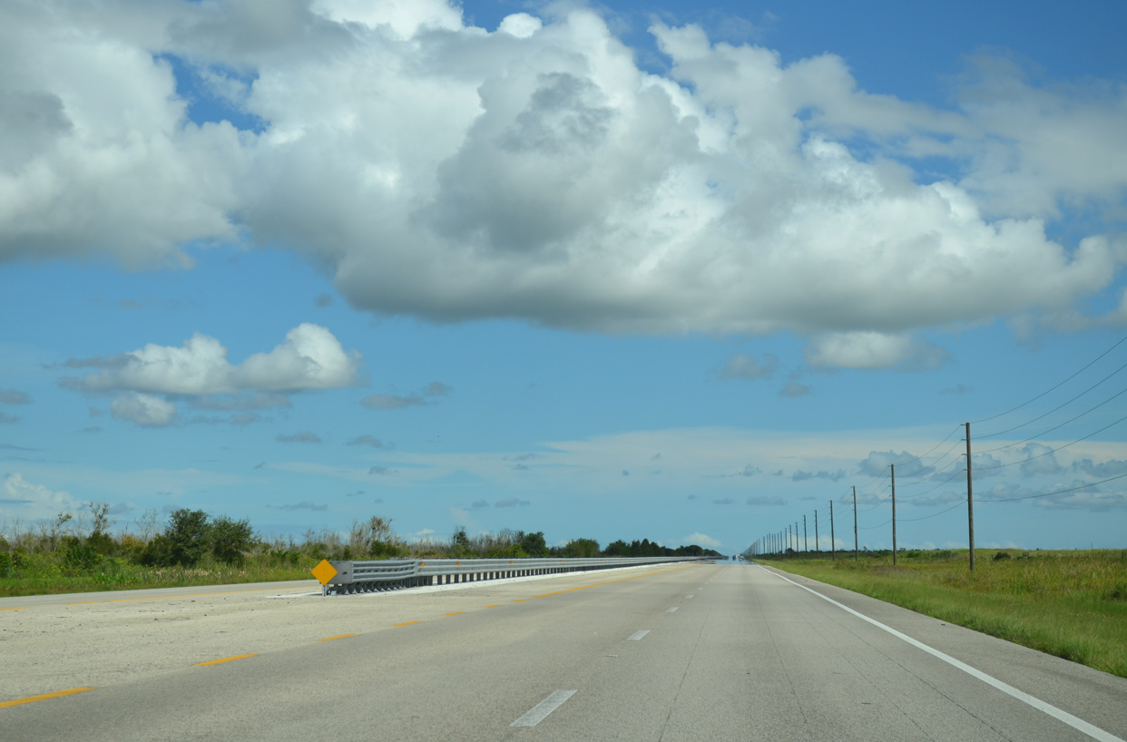
SR 60 plies across St. Johns Marsh adjacent to Fort Drum Wildlife Management Area for six miles.
10/01/15
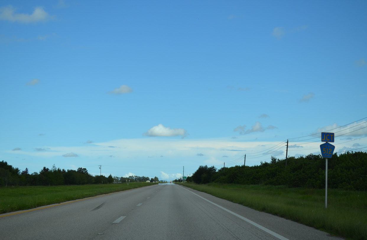
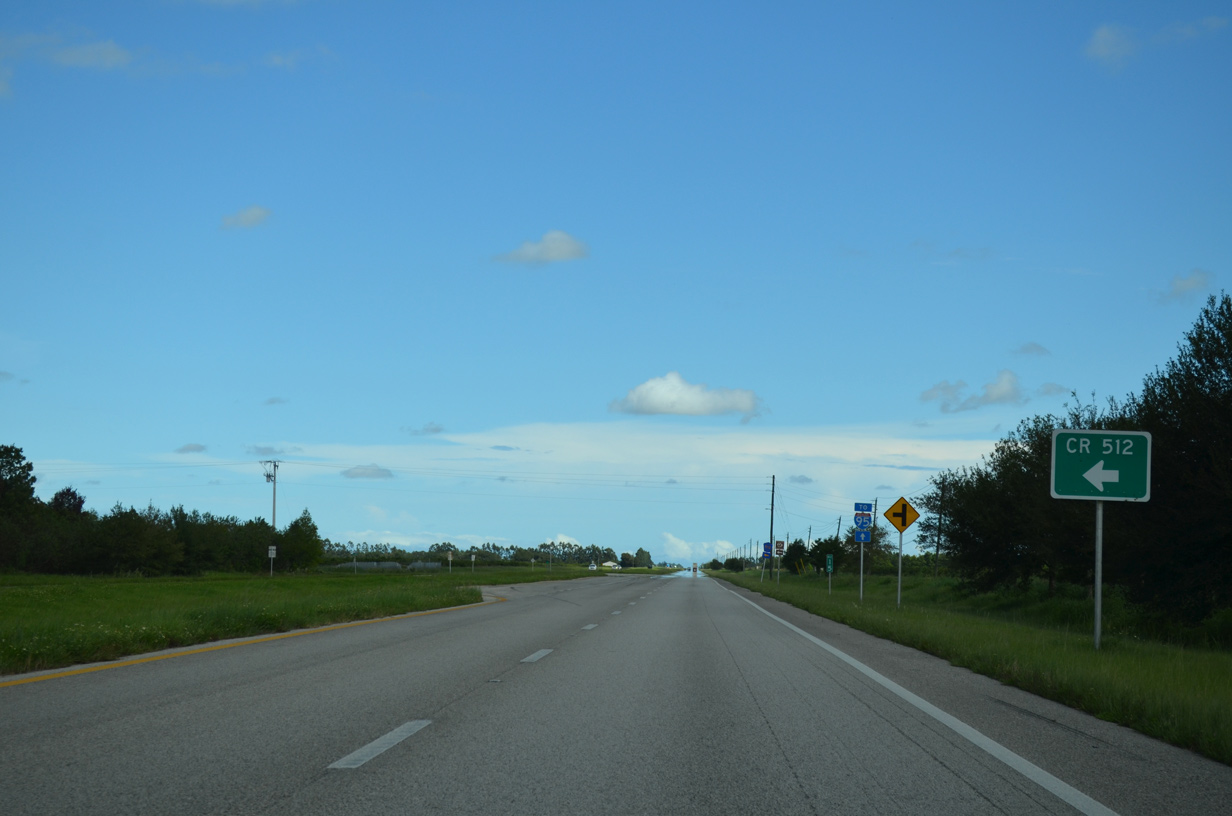
CR 512 (Armory Drive) stems north from SR 60 along a rural course to the city of Fellsmere.
10/01/15
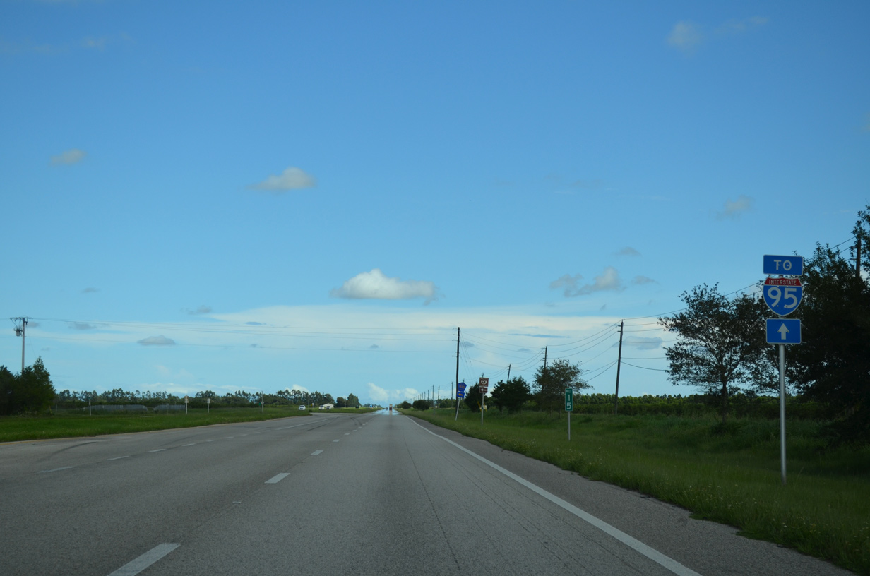
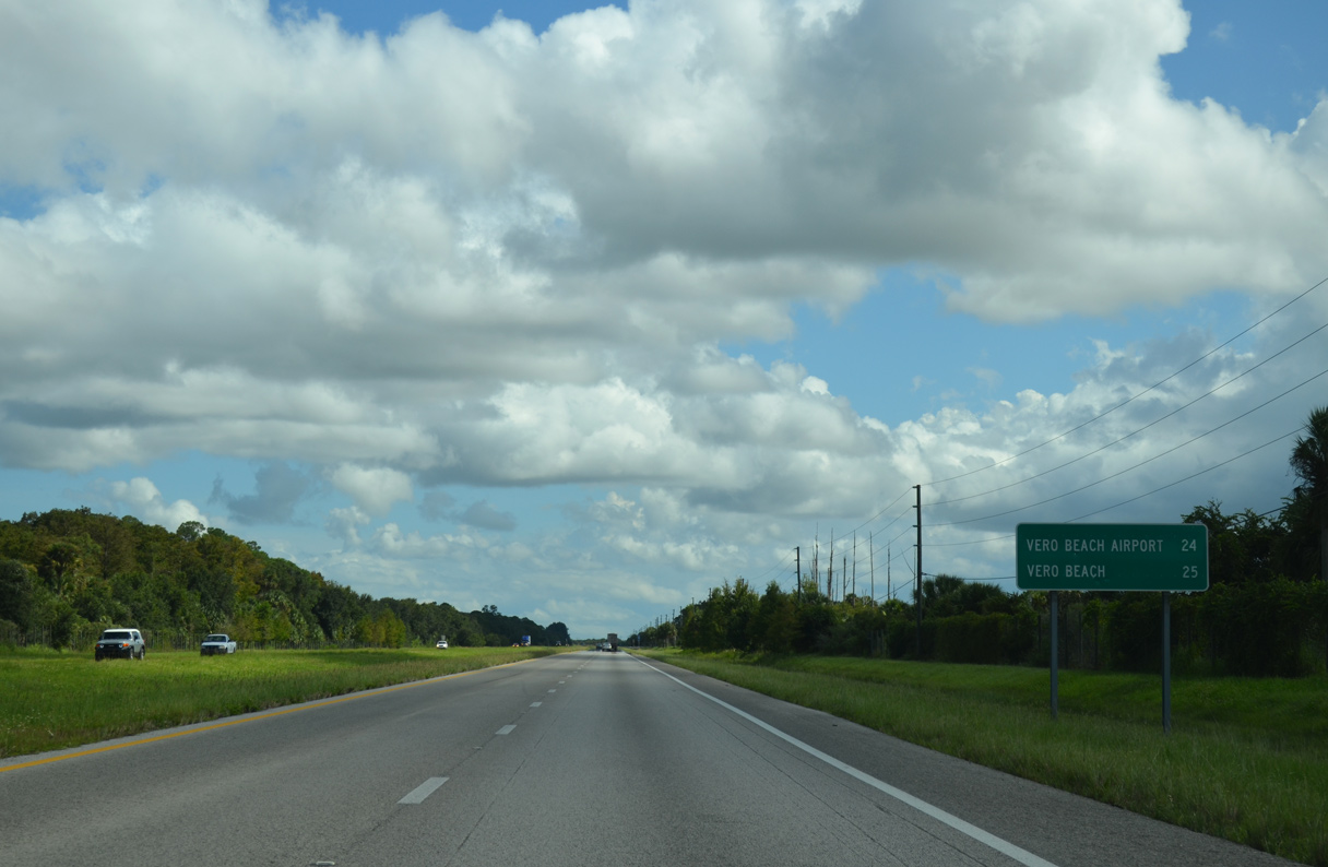
The exchange joining SR 60 with I-95 lies 7.7 miles east of CR 512 (Armory Drive).
10/01/15
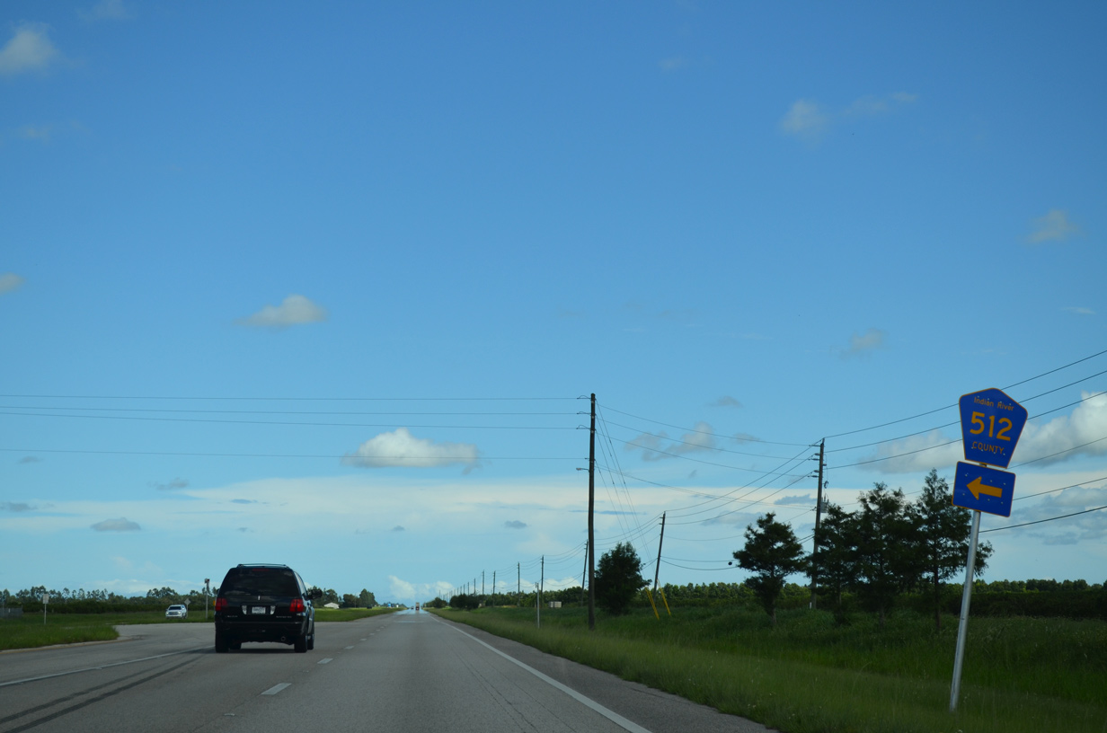
County Road 512 constitutes a 19.65 mile route north to Fellsmere, east to Vero Lake Estates and northeast to U.S. 1 in the city of Sebastian.
10/01/15
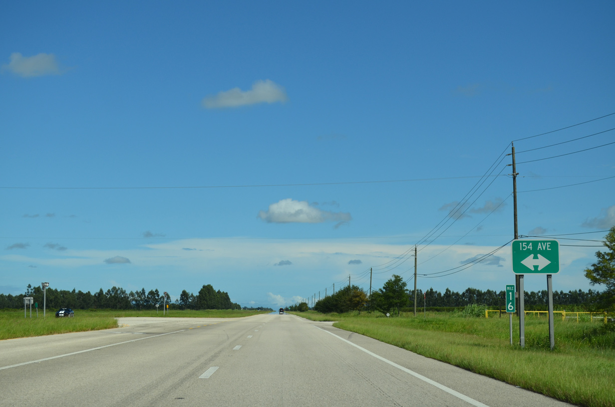
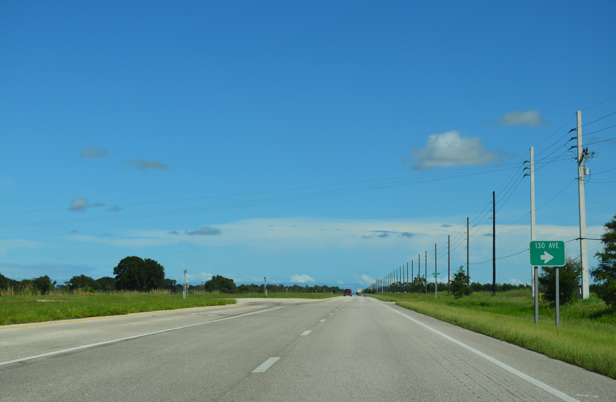
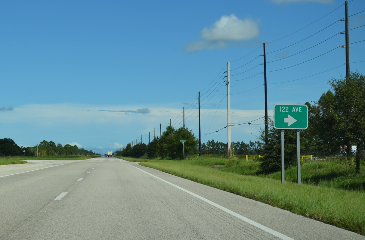
A series of numbered streets intersect SR 60 in Indian River County from agricultural areas to the south.
10/01/15
10/26/19
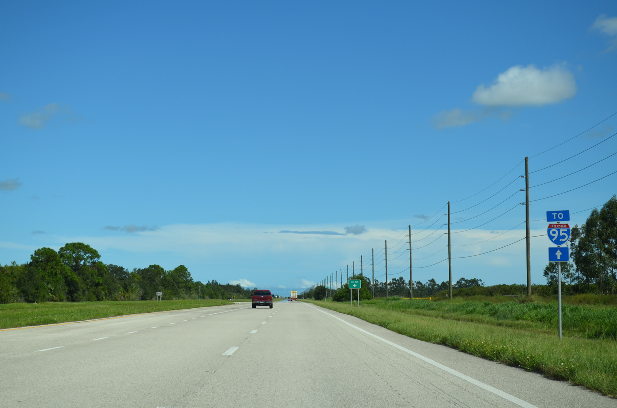
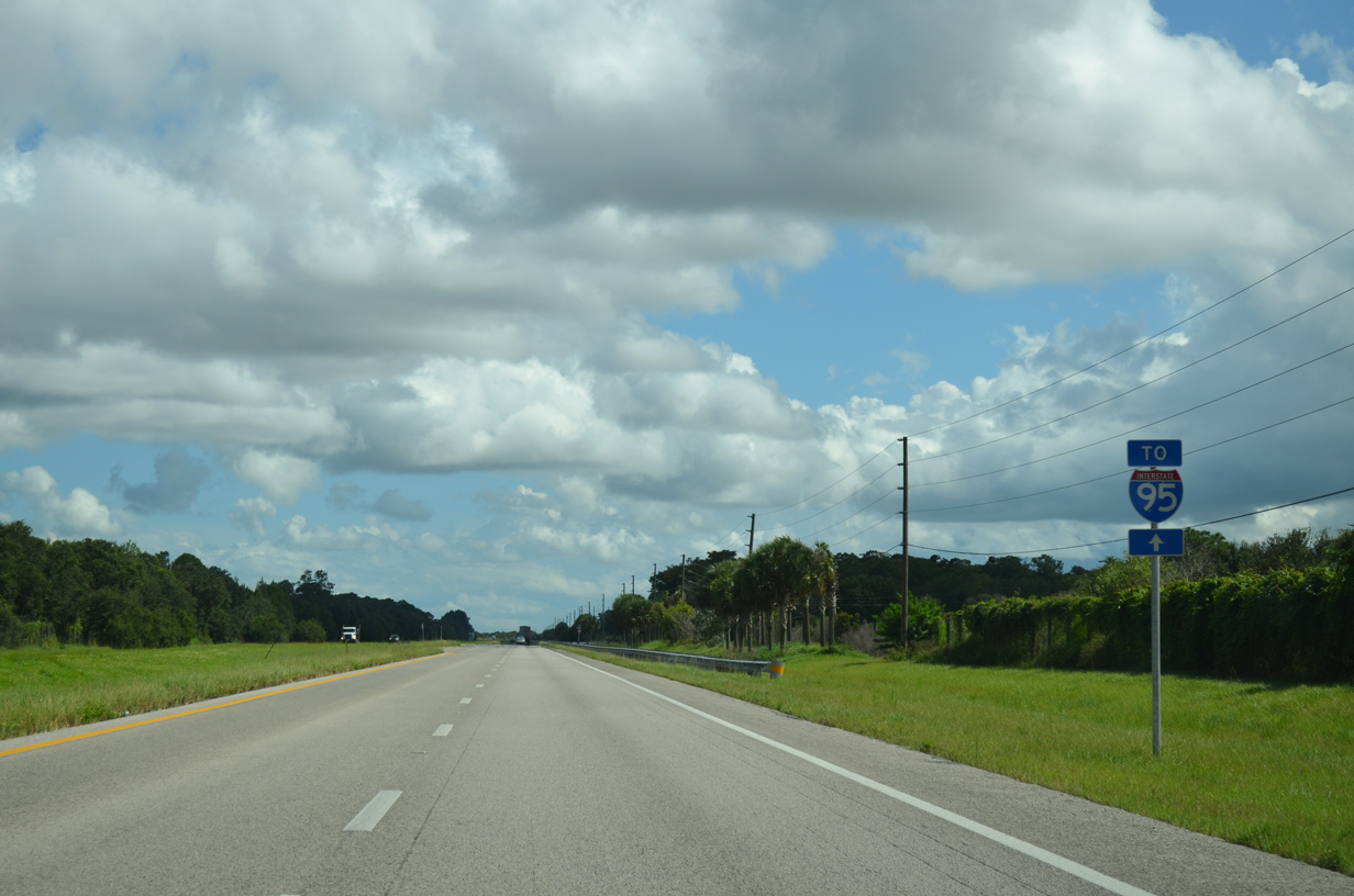
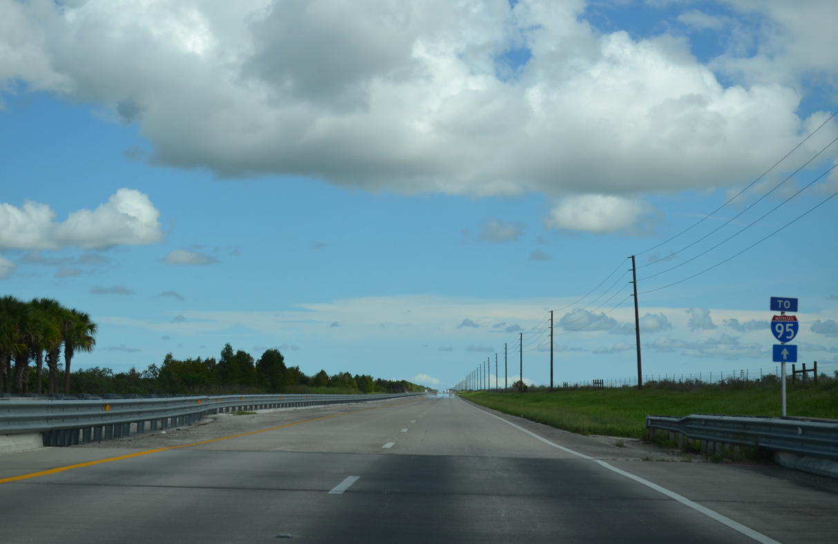
Interstate 95 crosses paths with SR 60, 3.25 miles east of 118th Avenue.
10/01/15
A parclo interchange joins SR 60 with Interstate 95 at West Vero Corridor.
10/01/15
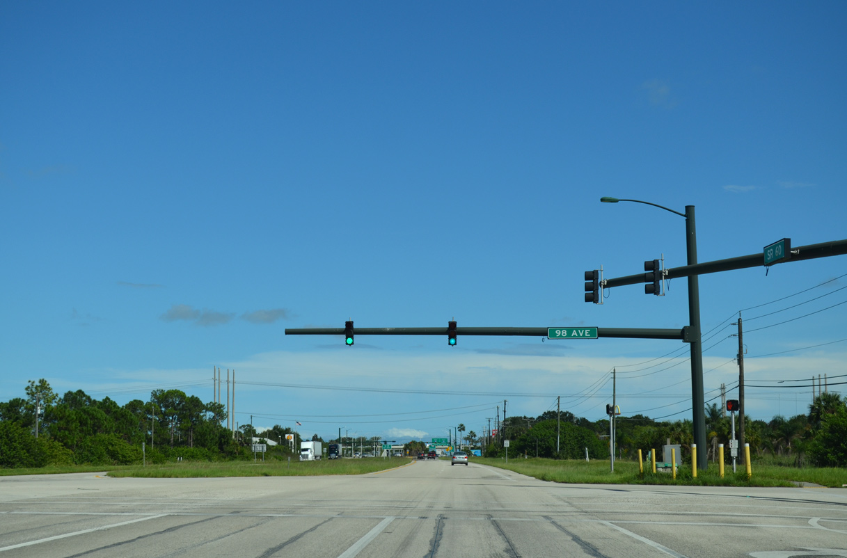
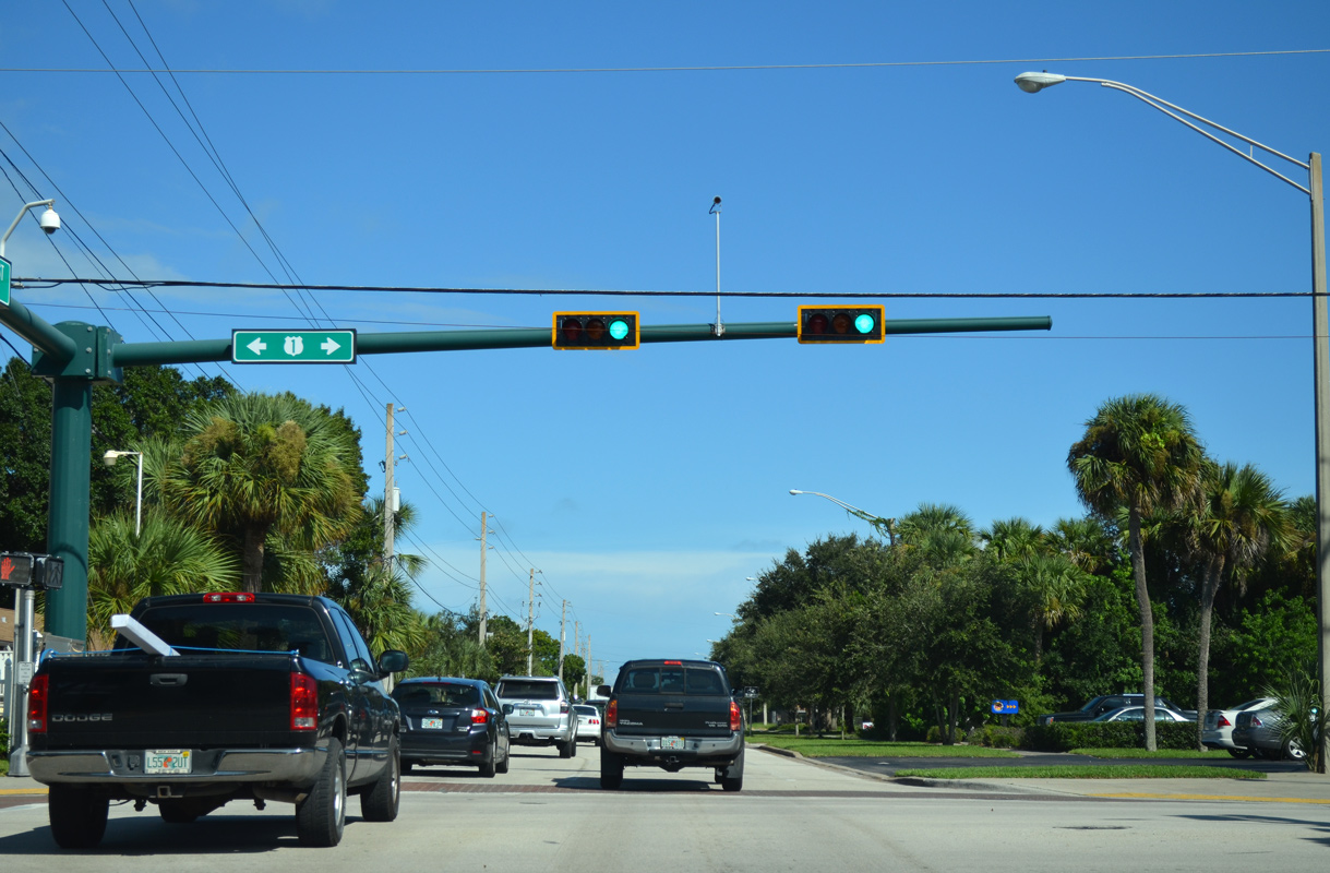
Connecting SR 60 with a distribution center to the north and the Verona Trace subdivision to the south, 98th Avenue represents the first traffic light eastbound since Yeehaw Junction.
10/01/15

94th Avenue ties into SR 60 from the Vero Beach Outlets center ahead of the ramps for Interstate 95.
10/01/15
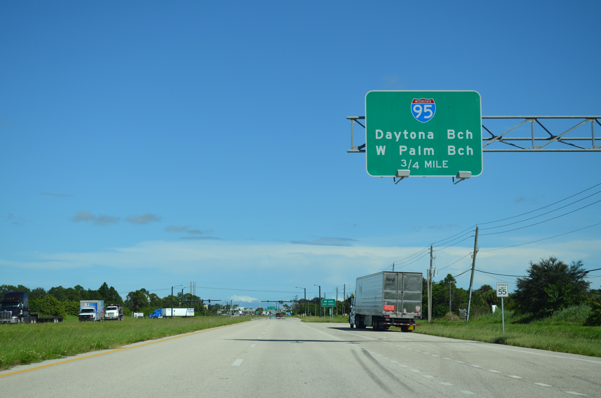
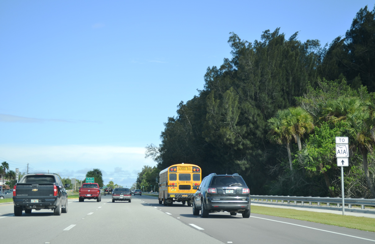
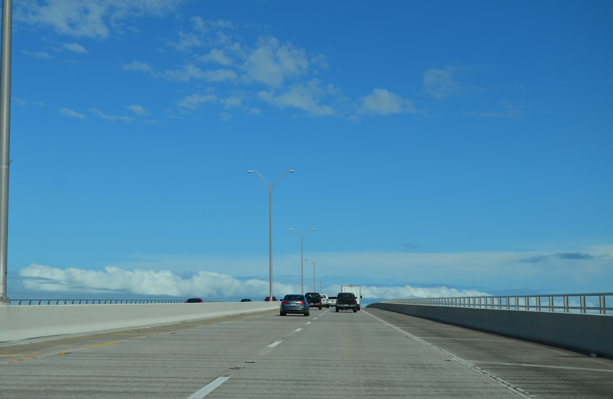
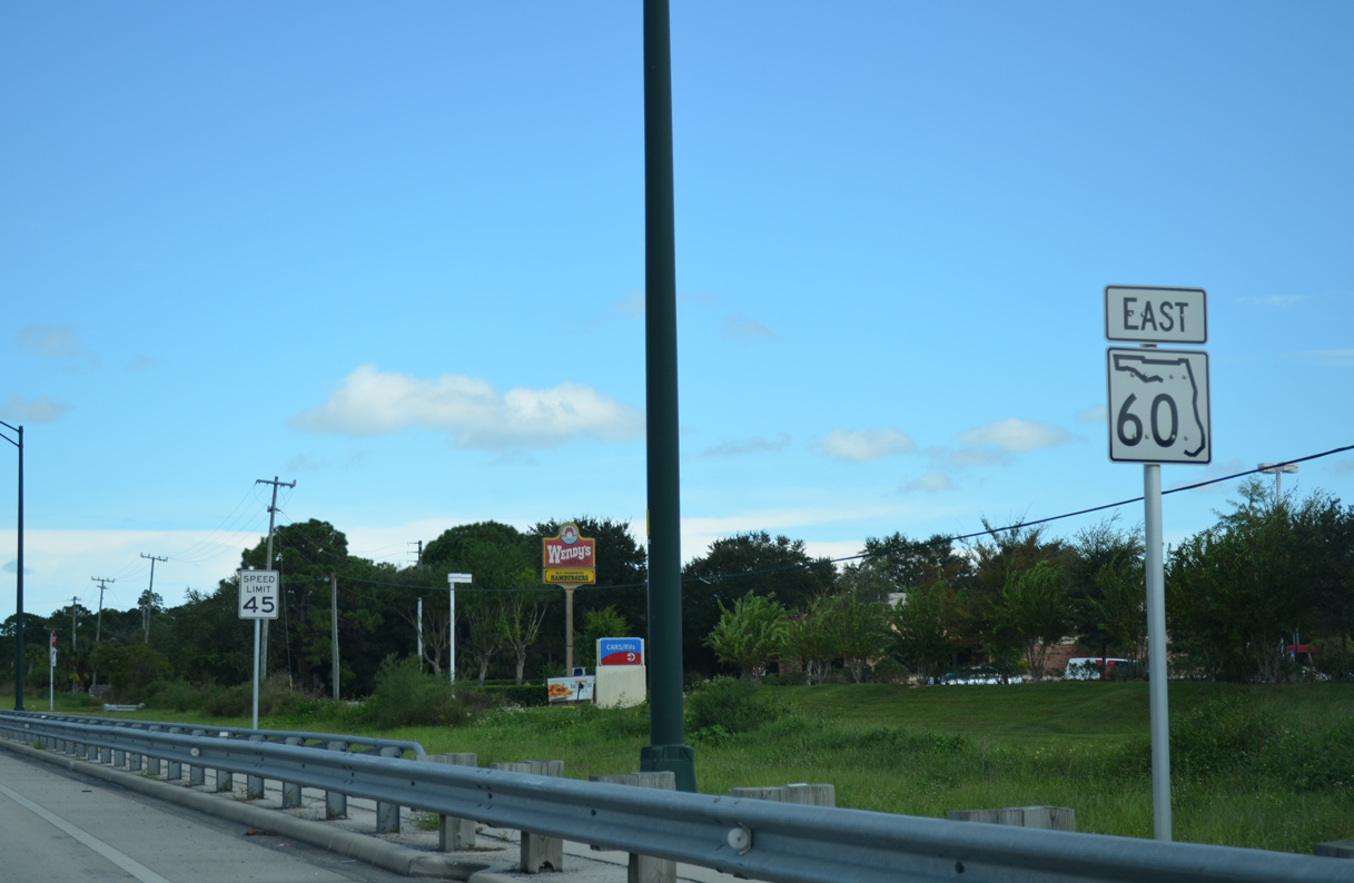
Heading into the exchange with Interstate 95, SR 60 expands to six overall lanes.
10/01/15
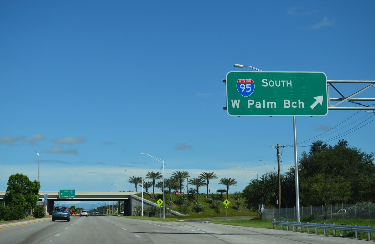
FDOT District 4 routinely uses West Palm Beach in place of Miami for Interstate 95 southbound. Southward along the Treasure Coast, I-95 runs west of Fort Pierce, Port St. Lucie and Stuart.
10/01/15
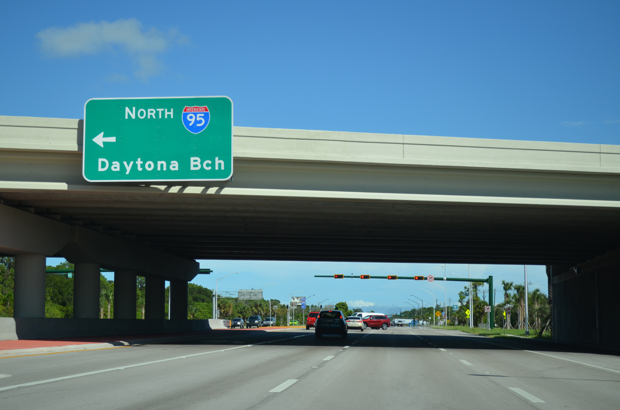
Traveling north from SR 60 and the Vero Beach area, Interstate 95 continues to Palm Bay, Melbourne and Cocoa in Brevard County. Daytona Beach lies 115 miles to the north in Volusia County.
10/01/15
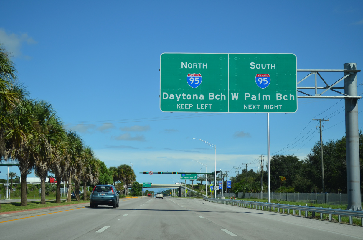
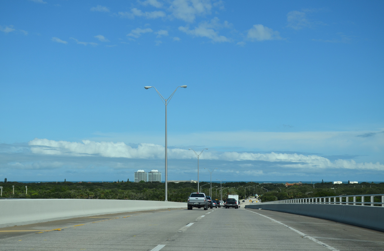
State Road 60 advances east from Interstate 95 along a six lane arterial through the West Vero Corridor.
10/26/19
90th Avenue parallels the east side of Interstate 95 north to a residential street grid and south to an industrial park and the Lakewood Village manufactured home community.
07/27/16
10/01/15
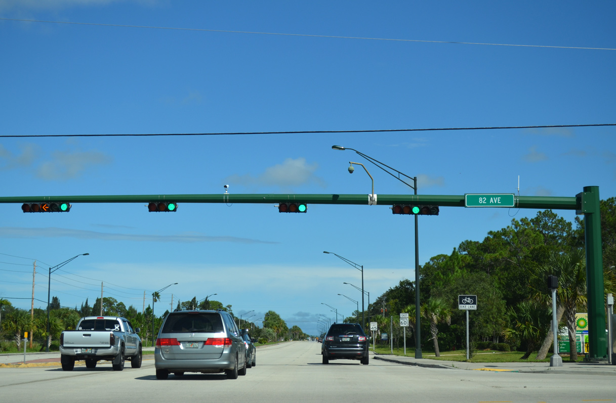
82nd Avenue doubles as Indian River County Road 609 north from SR 60 to 69th Street and south to Oslo Road (CR 606).
10/01/15
Confirming marker posted along SR 60 eastbound between CR 619 and the Cambridge Park subdivision.
10/01/15
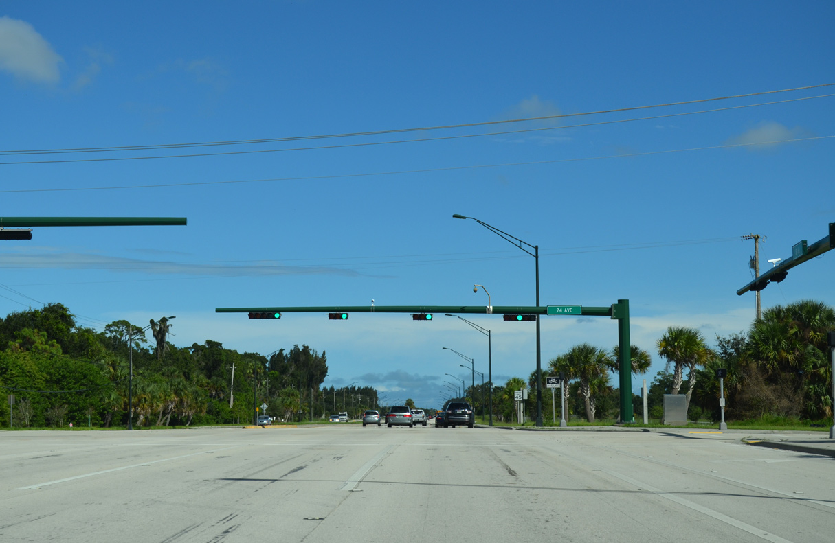
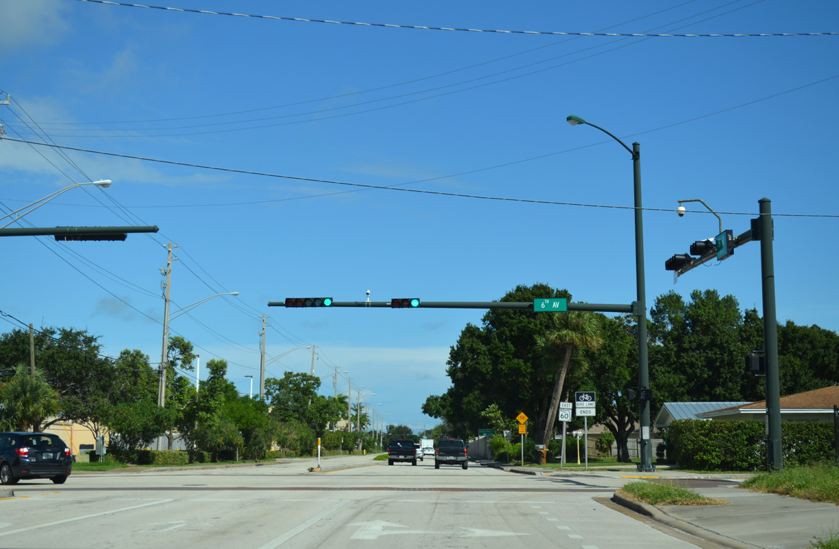
The succeeding traffic light along SR 60 east in West Vero Corridor is at 74th Avenue.
10/01/15
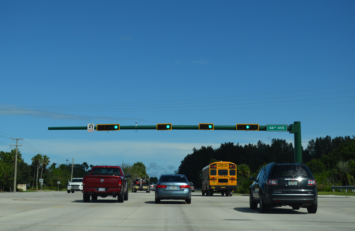
66th Avenue runs north from SR 60 by Indian River Mall to 85th Street and Schumann Drive. Unmarked on SR 60, County Road 615 follows the roadway northward 10.86 miles to U.S. 1 in the city of Sebastian.
10/01/15
Passing south of Indian River Mall, SR 60 is 7.5 miles from SR A1A on North Hutchinson Island.
10/01/15
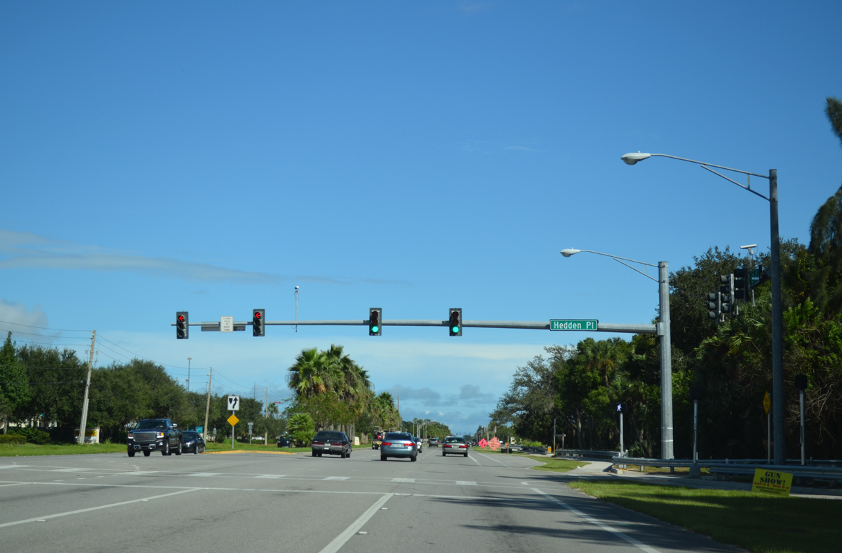
Hedden Place intersects SR 60 across from the east entrance to Indian River Mall.
10/01/15
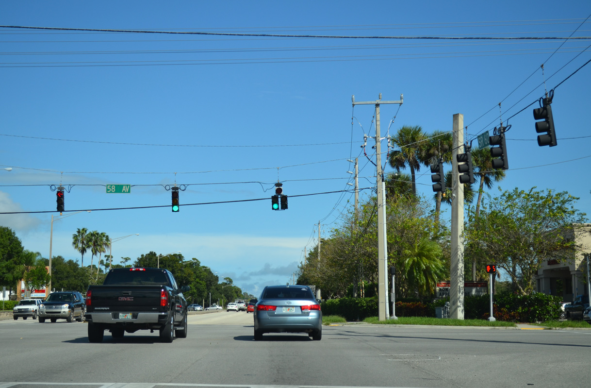
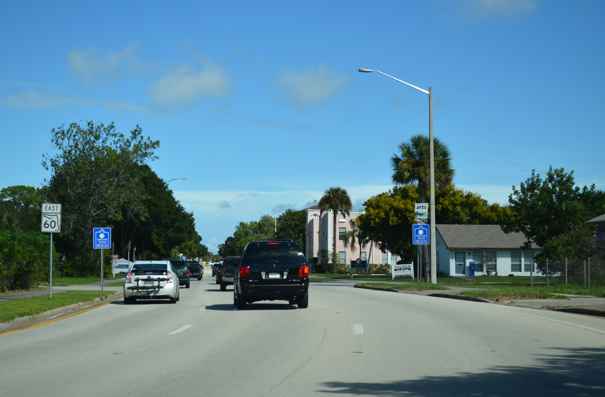
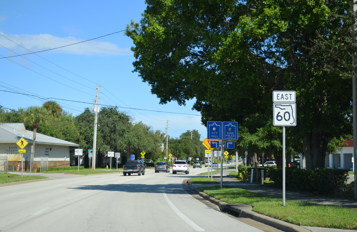
Big box retail surrounds the commercialized intersection joining SR 60 (20th Street) with 58th Avenue.
10/01/15
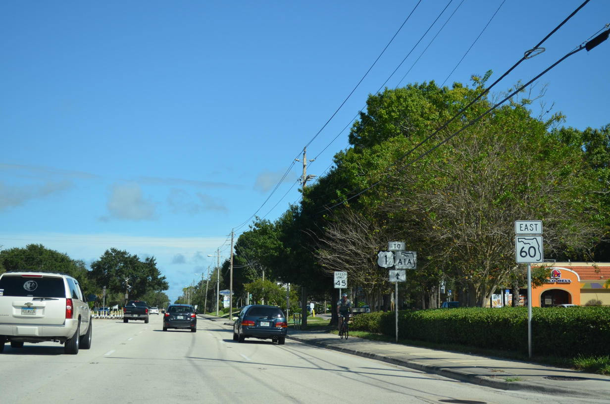
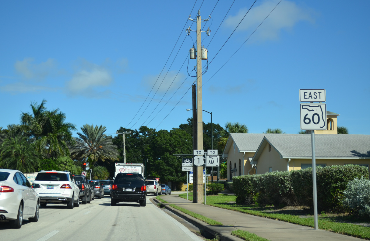
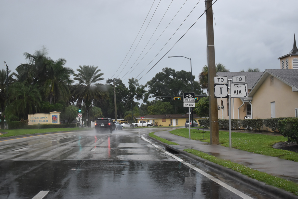
SR 60 meets U.S. 1 (8th Avenue) three and a half miles east of 58th Avenue in Downtown Vero Beach.
10/26/19

The ensuing traffic light on eastbound SR 60 is with 53rd Avenue at a shopping center. Additional retail at Vero Beach Square was built nearby in 2019.
10/01/15
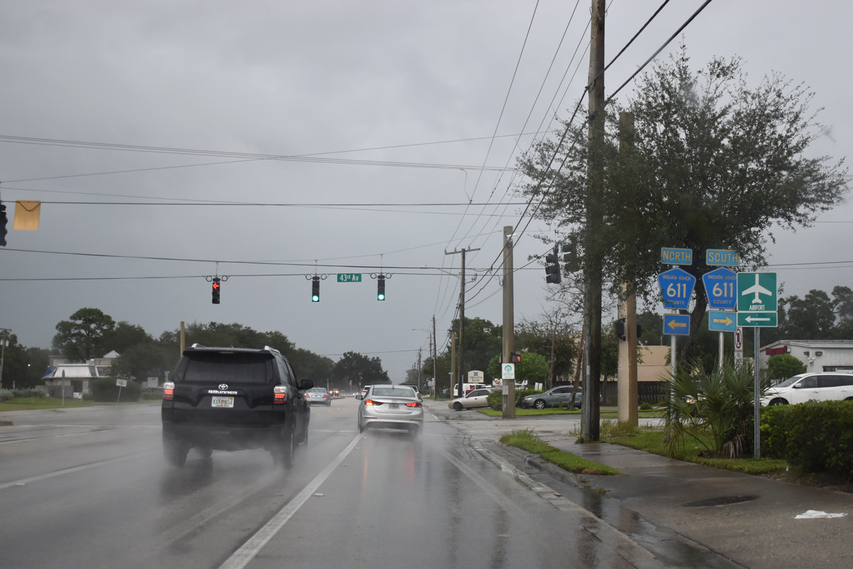
County Road 611 (43rd Avenue) crosses paths with SR 60 (20th Street) at the Vero Beach city line. CR 611 extends 5.54 miles south from 20th Street to 25th Street SW at the St. Lucie County line.
10/26/19
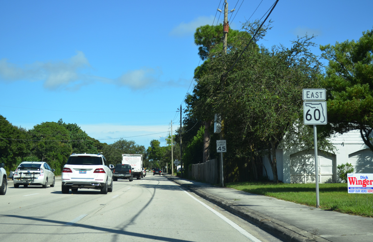
SR 60 (20th Street) advances east from CR 611 (43rd Avenue) through the Altona Heights neighborhood of Vero Beach.
10/01/15
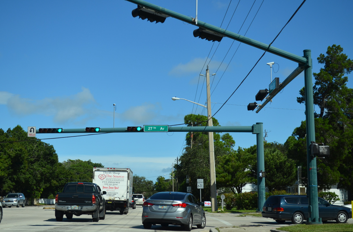
27th Street runs north to Vero Beach Regional Airport (VRB) and south to Vero Beach South.
10/01/15
SR 60 (20th Street) proceeds seven blocks east to the separation into one way streets through Downtown Vero Beach to U.S. 1 (8th Avenue).
10/01/15
10/26/19
Eastbound SR 60 shifts southward onto 19th Place at 20th Avenue. Westbound traffic follows 20th Street one block to the north.
10/01/15
10/26/19

Entering Downtown Vero Beach on SR 60 (19th Place) east at 14th Avenue. Unsigned CR 605 (Old Dixie Highway) ties into SR 60 from the adjacent intersection.
10/01/15
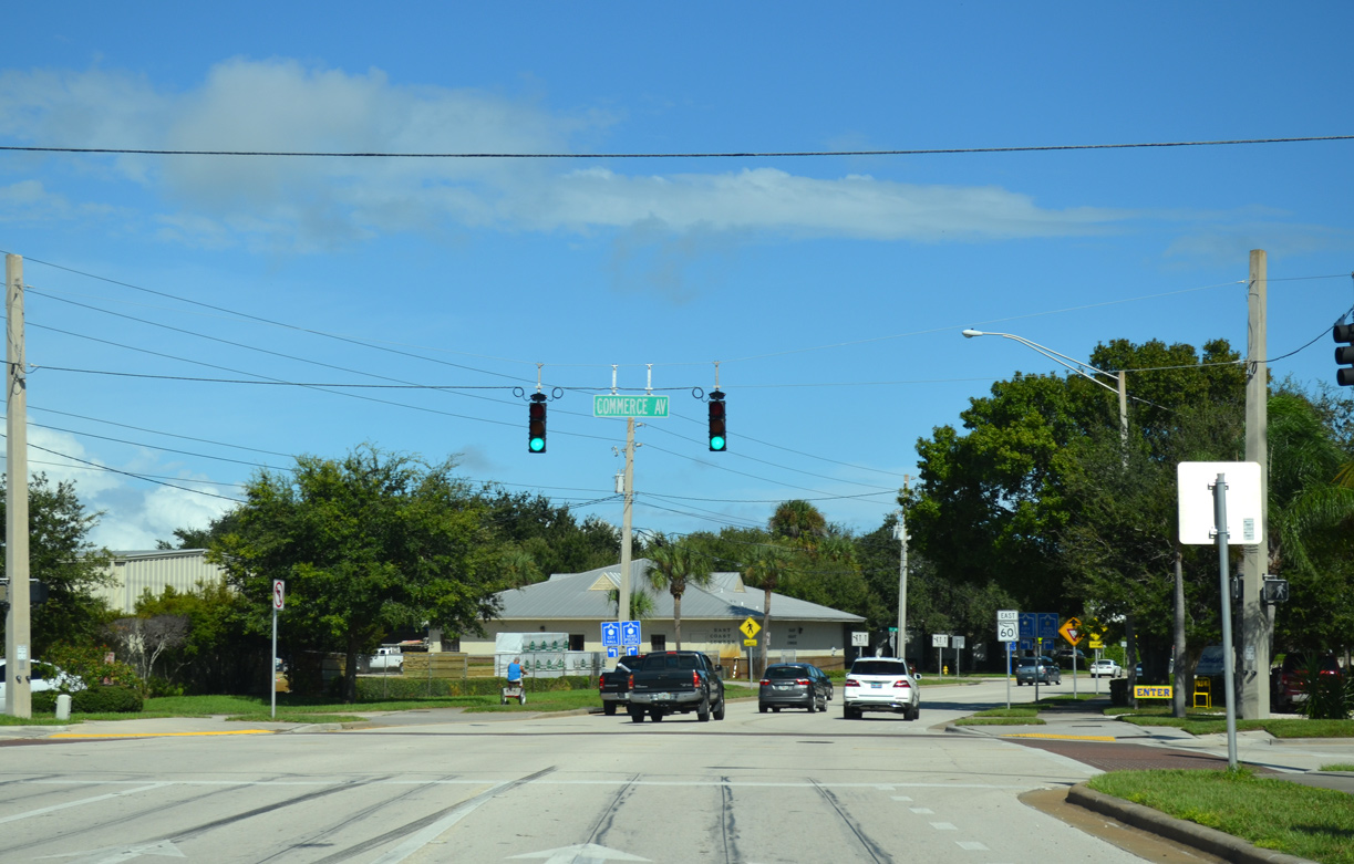
The couplet of SR 60 bends northward across the Florida East Coast (FEC) Railway and Commerce Avenue. Eastbound follows 20th Street from this point to Indian River Boulevard. SR 60 west parallels along 20th Place.
10/01/15
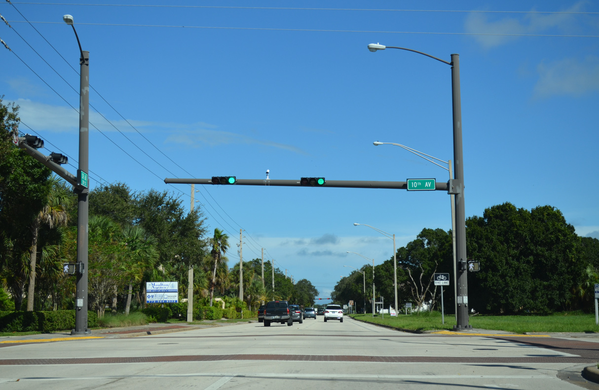
SR 60 (20th Street) east at 10th Avenue.
10/01/15
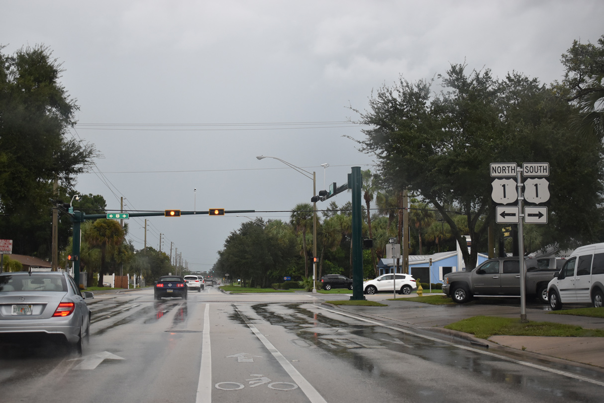
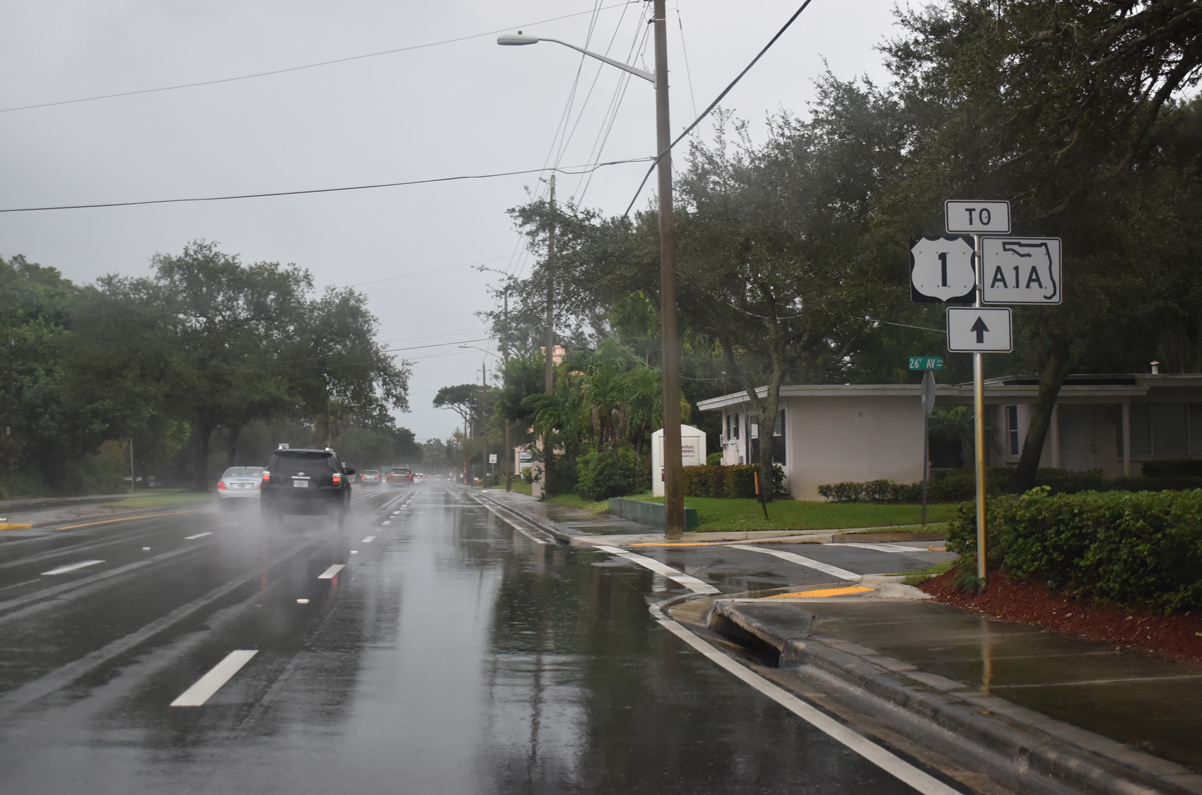
U.S. 1 turns east from alongside the FEC Railway along 21st Street and then south onto 8th Avenue across SR 60 (20th Street).
10/26/19
U.S. 1 travels south from Vero Beach to Oslo and Indrio in St. Lucie County and north to Gifford, Winter Beach and Wabasso.
10/01/15
The split roadways of SR 60 combine along 20th Street at 6th Avenue by Treasure Coast Plaza shopping center.
10/01/15
10/26/19
SR 60 dog legs one mile northward along Indian River Boulevard from 20th Street to the Merrill P. Barber Bridge.
10/01/15
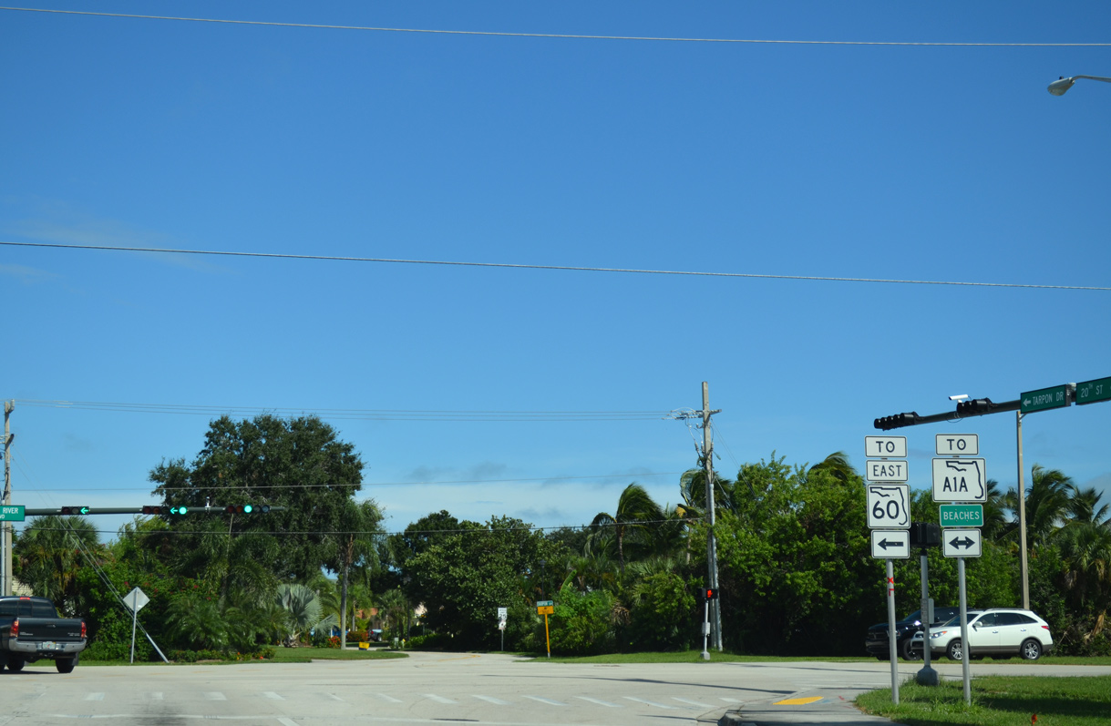
Both SR 60 east across the Merrill P. Barber Bridge and nearby SR 656 (17th Street) to the south join Downtown Vero Beach with SR A1A along the Atlantic coast.
10/01/15
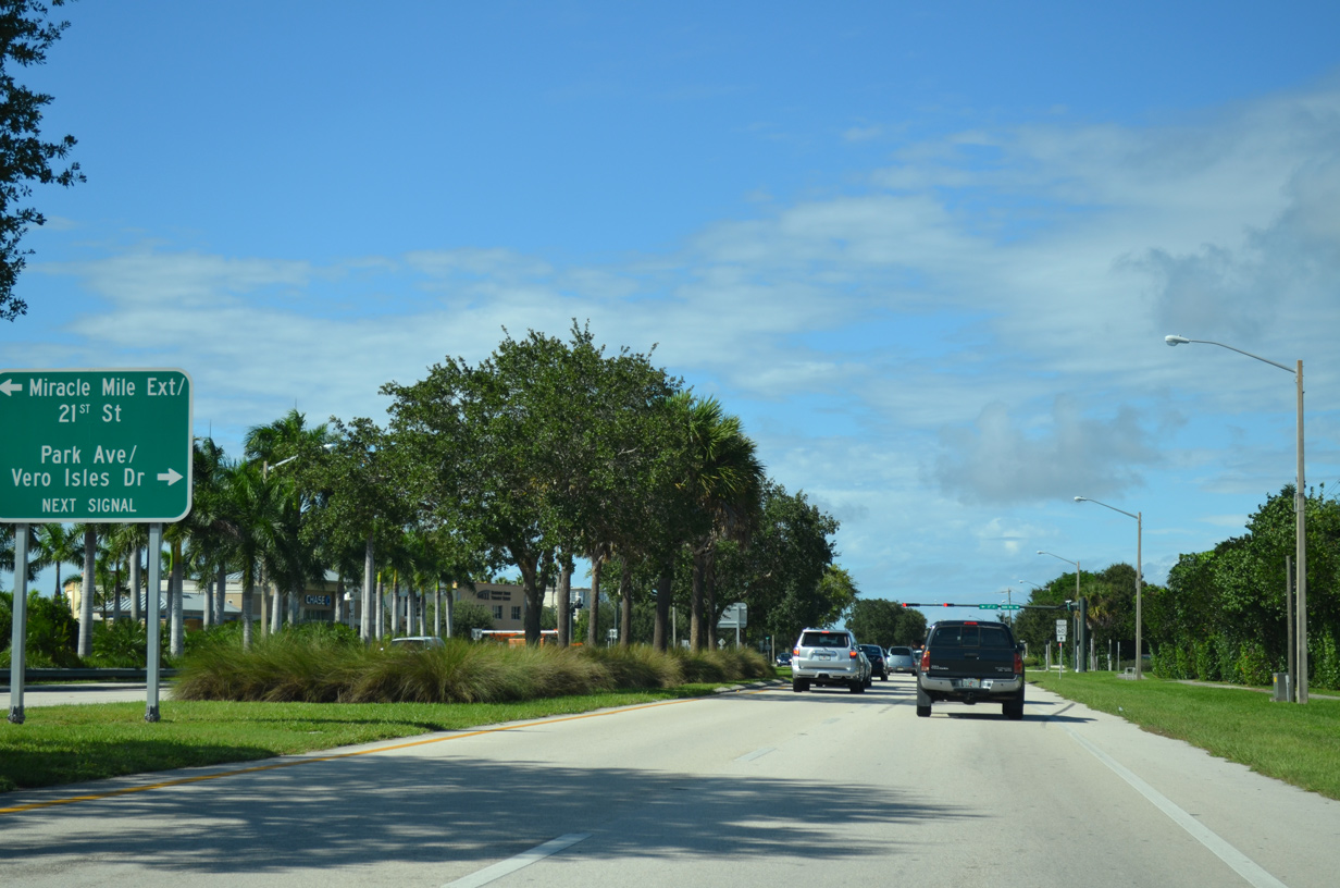
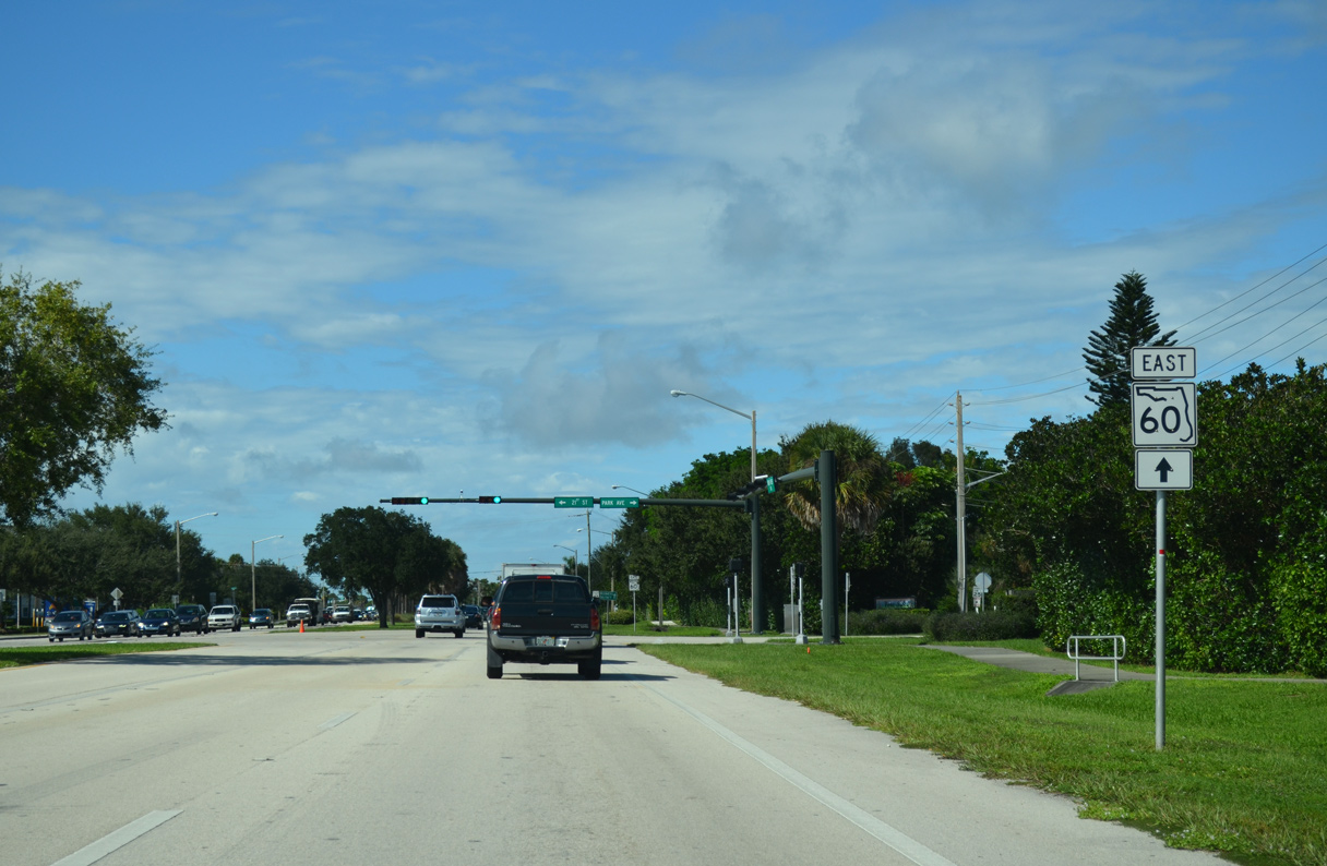
21st Street east from Vero Plaza shopping center and Park Avenue from waterside neighborhoods along the Indian River come together next along SR 60 (Indian River Boulevard) eastbound.
10/01/15
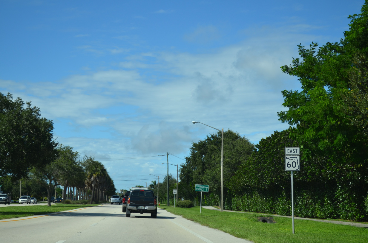
Historically 21st Street carried both directions of SR 60 west from Indian River Boulevard to U.S. 1 at 8th Avenue.
10/01/15
Reassurance marker posted north of 21st Street on Indian River Boulevard.
10/01/15
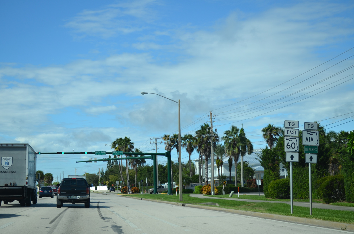
SR 60 (Indian River Boulevard) east next intersects Royal Palm Boulevard / Place west at the Royal Palm Pointe business district.
10/01/15
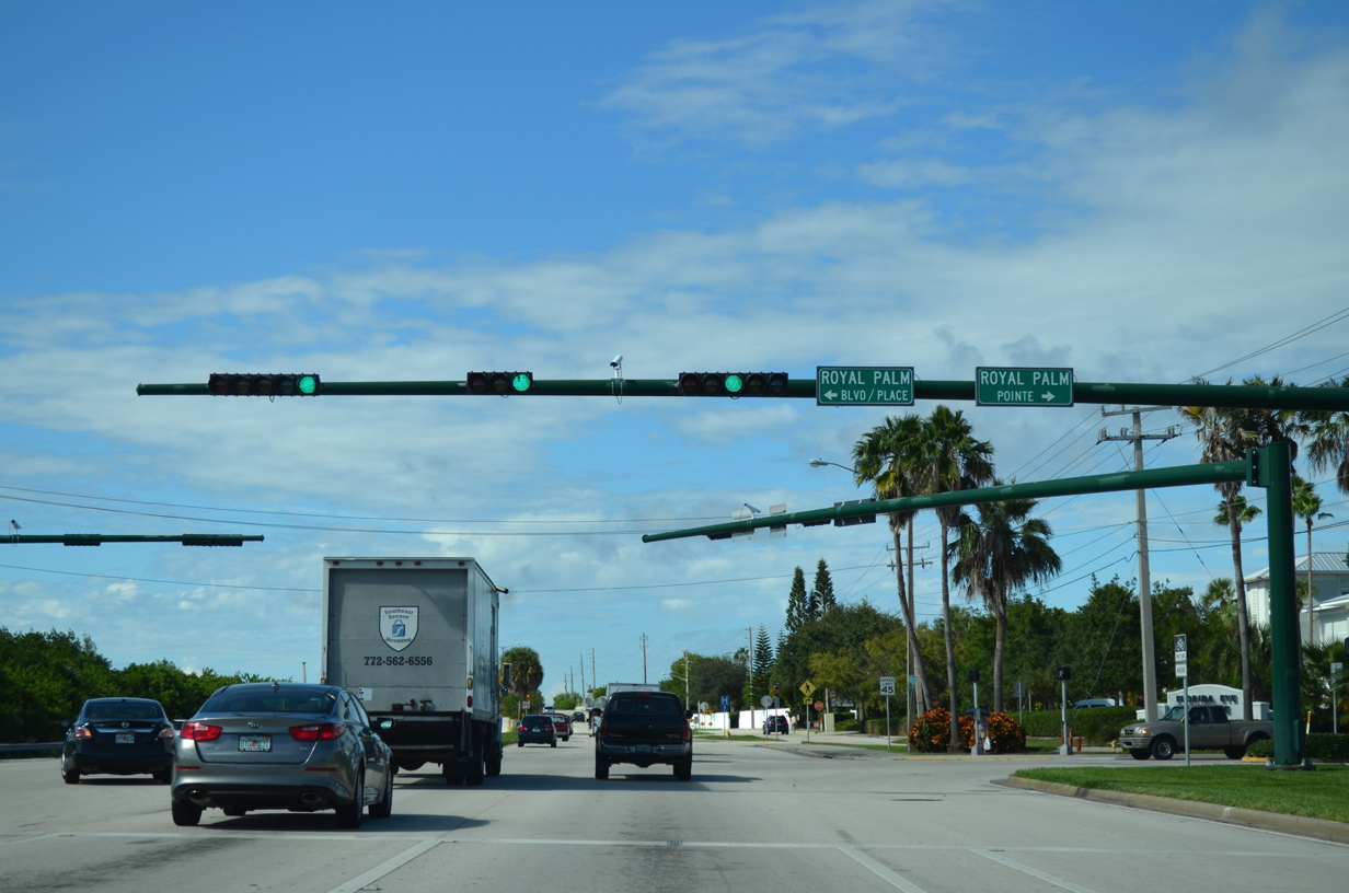
Royal Palm Pointe east was formerly a part of SR 60 prior to construction of the Merril P. Barber Bridge.
10/01/15
Indian River Boulevard crosses Main Canal ahead of the SR 60 turn onto the Merril P. Barber Bridge
10/01/15
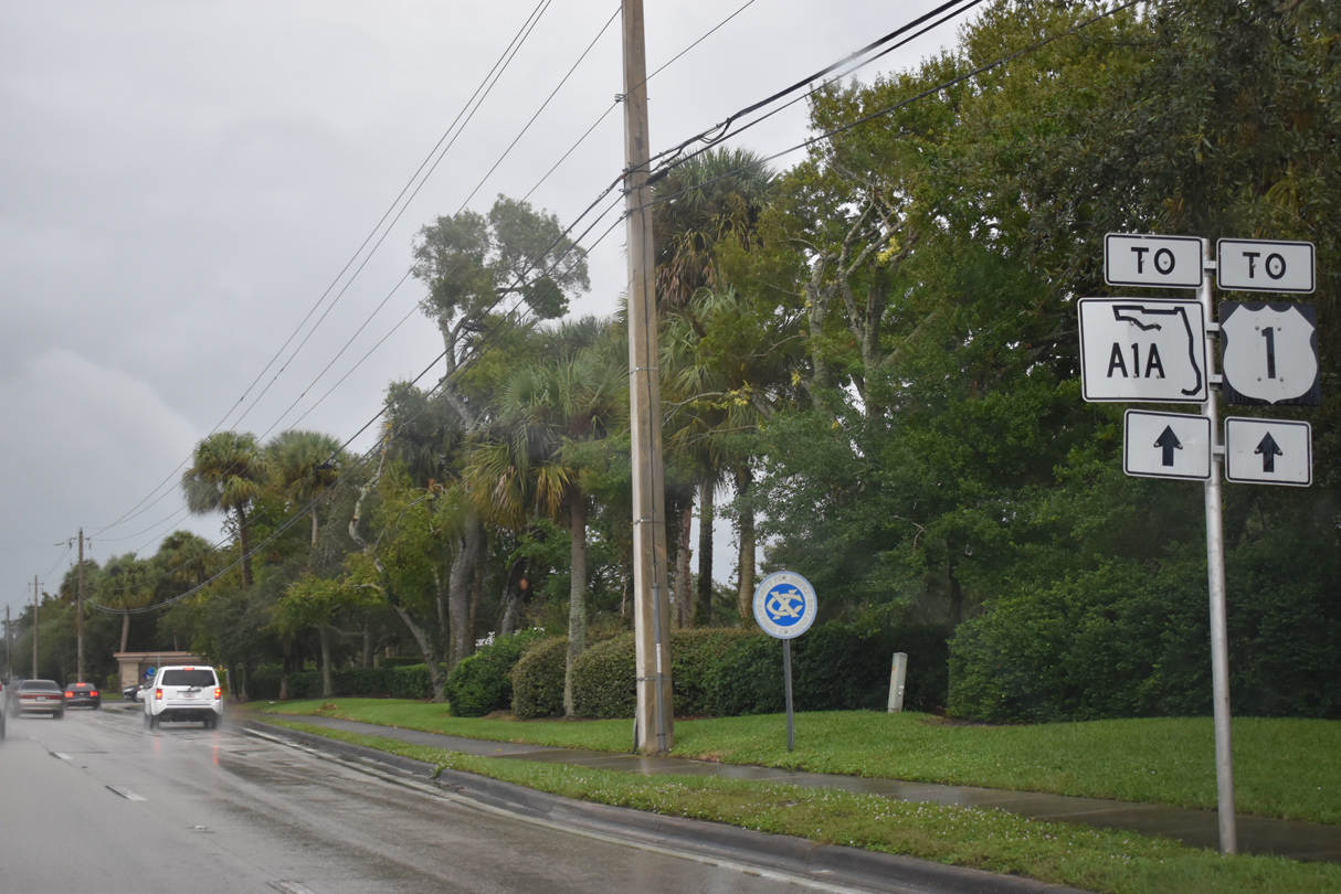
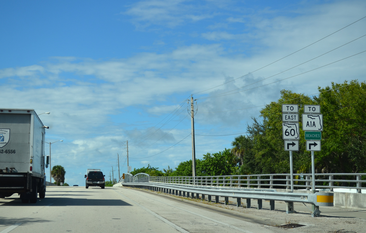
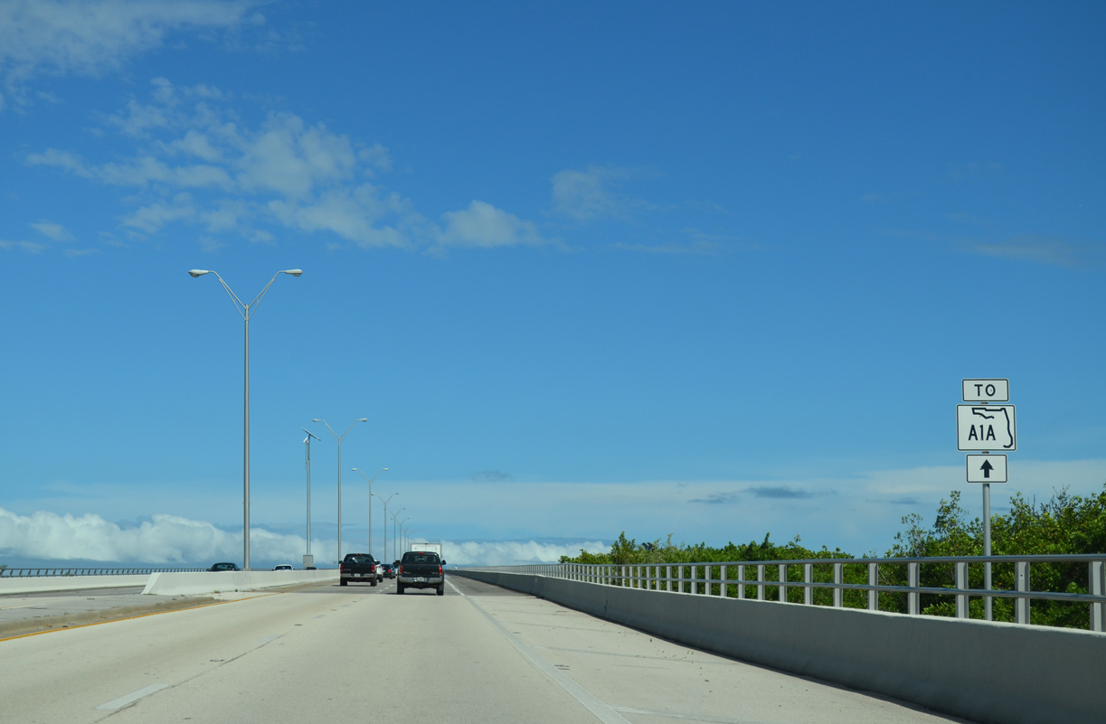
Indian River Boulevard extends north from SR 60 to 53rd Street in the community of Gifford. SR 60 continues another 1.4 miles east to SR A1A.
10/01/15
The Merrill P. Barber Bridge rises to a height of 65 feet above the Intracoastal Waterway along the Indian River.4
10/26/19
10/01/15
The high rise bridge taking SR 60 onto Hutchison Island replaced a 1951-built draw bridge to the south. Costing $26 million, work on the four lane crossing started in April 1993.5
10/01/15
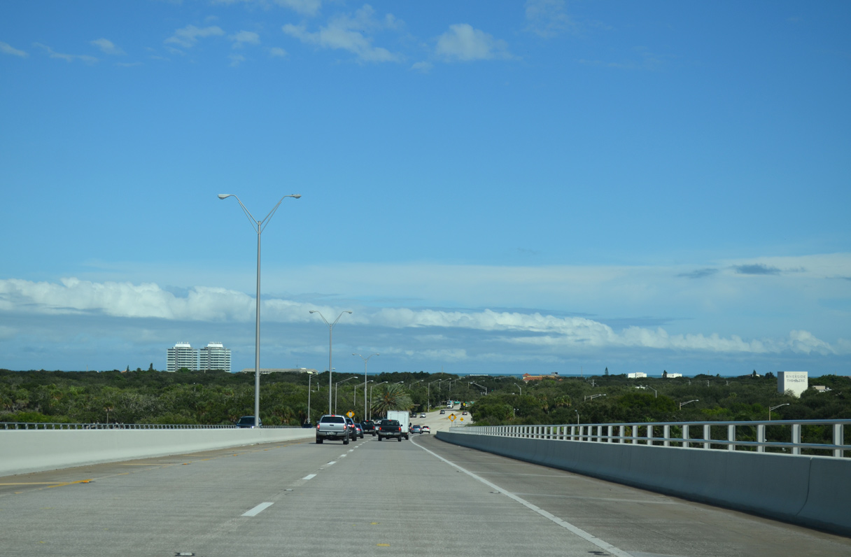
Named after a local banker and mayor of Vero Beach (1947-49), the Merrill P. Barber Bridge was dedicated on February 18, 1995.5 The 3,834 foot long span6 opened to traffic on March 1, 1995.4
10/01/15
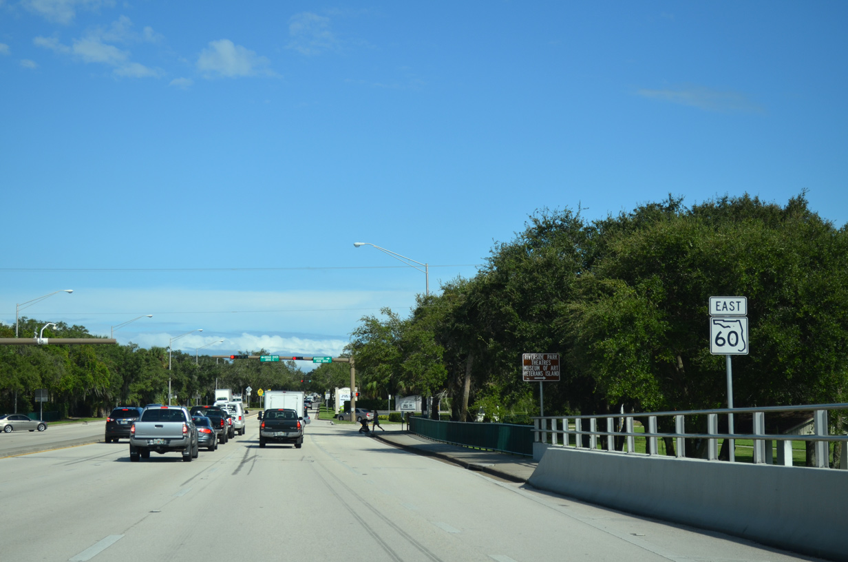
The final eastbound shield for SR 60 stands ahead of Riverside Park Drive on Hutchinson Island.
10/01/15

Riverside Park Drive connects SR 60 (Beachland Boulevard) with adjacent Riverside Park and the Vero Beach Museum of Art. Indian River Drive East extends north through neighborhoods along the Intracoastal Waterway.
10/01/15
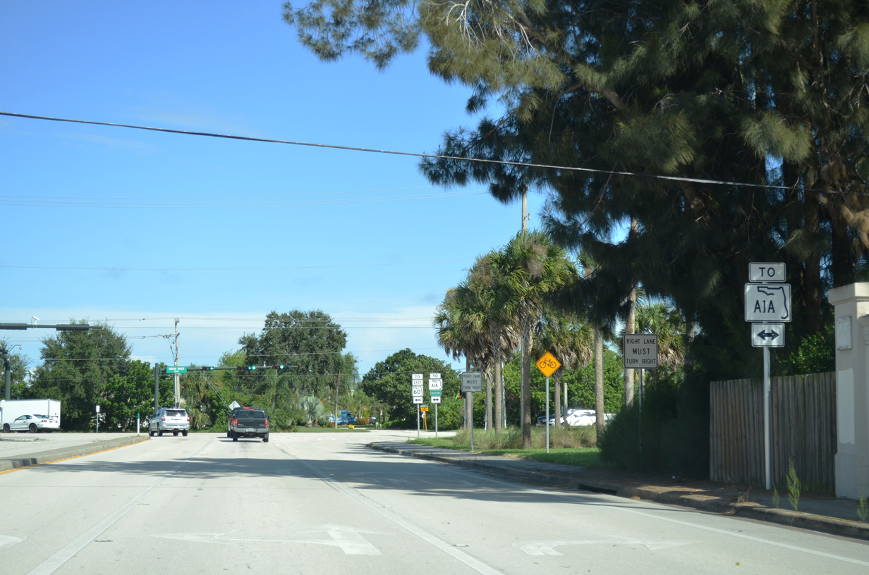
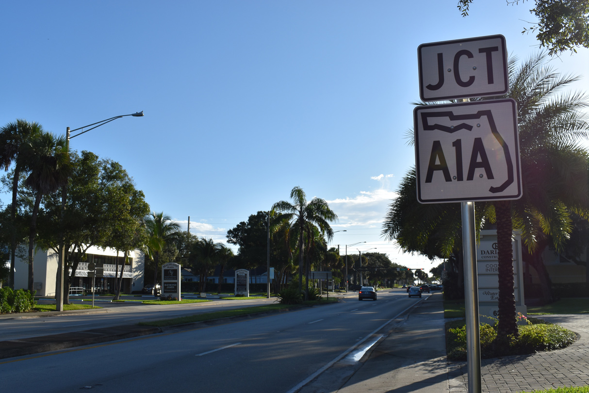
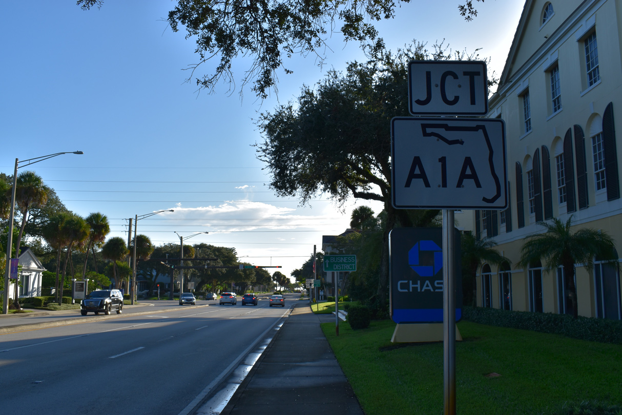
SR 60 concludes at SR A1A in a third of a mile.
10/01/15
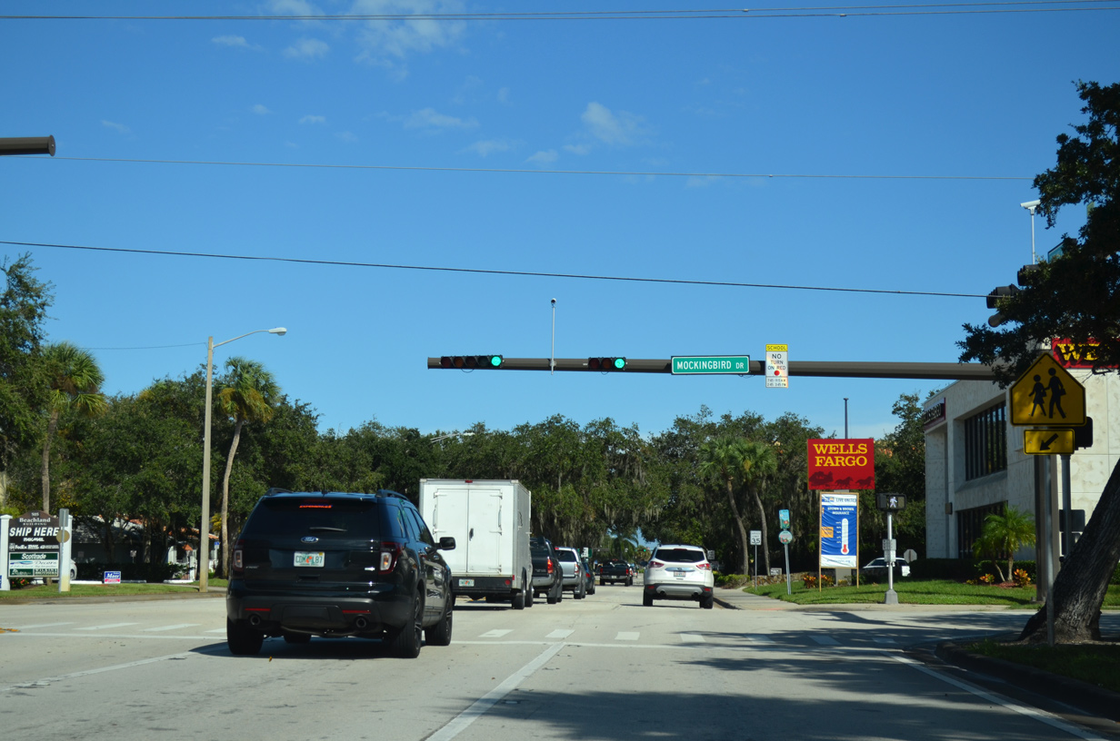
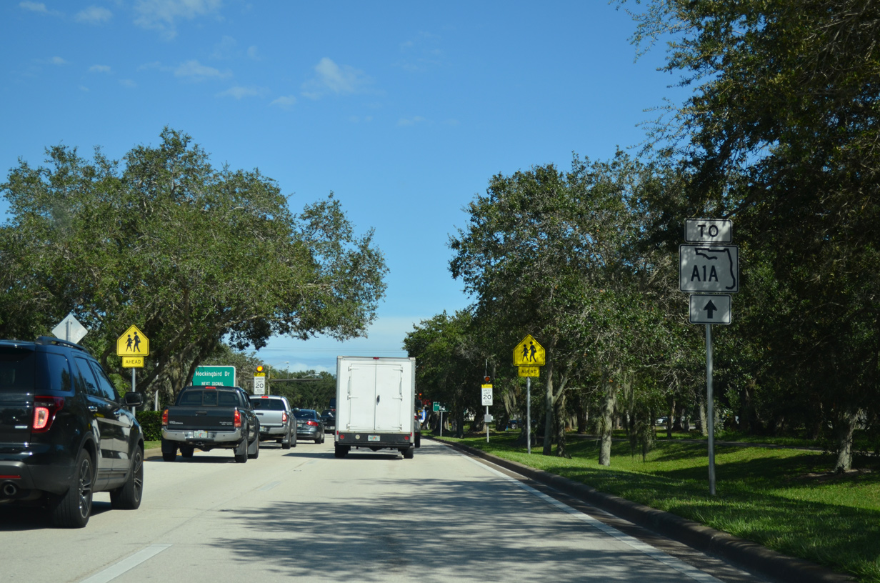
Beachland Boulevard intersects Mockingbird Drive just ahead of SR A1A.
10/01/15
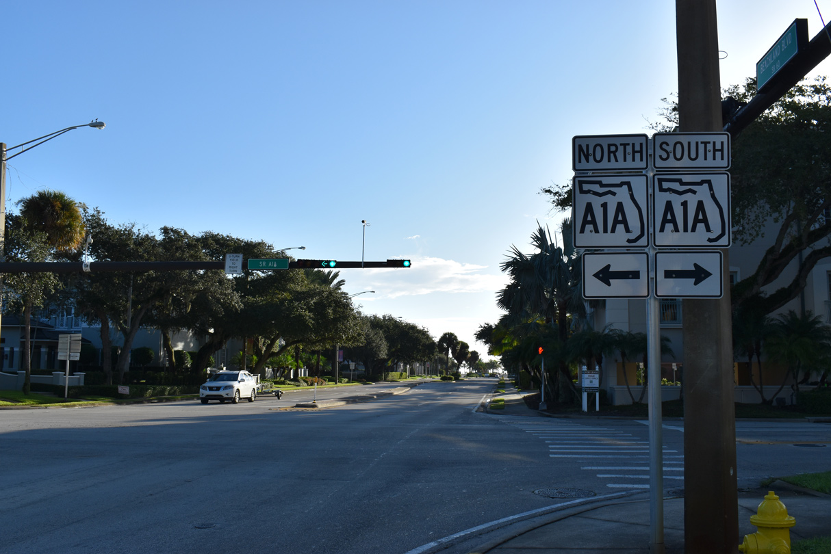
The Indian River County branch of SR A1A runs north from Vero Beach to Indian River Shores and Wabasso Beach.
10/27/19
SR A1A originates at Fort Pierce to the south and travels 70.66 miles north to SR 528 at Cape Canaveral.
10/27/19
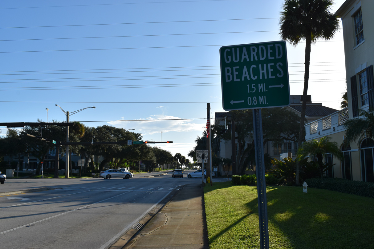
Jaycee Park lies 0.8 miles north of SR 60 via SR A1A. Heading south SR A1A intersects SR 656 / Causeway Boulevard west of South Beach Park in 1.5 miles.
10/27/19
SR 60 (Beachland Boulevard) ends at SR A1A, a third of a mile west of Sexton Plaza Beach.
10/27/19


References:
- "West S.R. 60 Widening to Start." Indian River Press Journal (FL), April 14, 2002.
- "PrS.R. 60 work hits more bumps." Indian River Press Journal (FL), August 3, 2006.
- "Price for S.R.60 widening raised by $6.5M." Indian River Press Journal (FL), September 25, 2009.
- "Merrill Barber Bridge to reopen." Stuart News, The (FL), February 28, 1995.
- "New bridge should add zip to island trip." Stuart News, The (FL), February 18, 1995.
- SR-60 over ICWW, Indian River County, Florida. http://bridgereports.com/1088410 BridgeReports.com
Photo Credits:
- Alex Nitzman: 10/01/15, 07/27/16, 10/26/19, 10/27/19
Connect with:
Page Updated Wednesday November 20, 2019.