
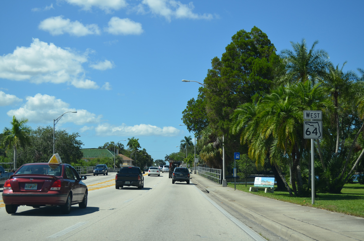
State Road 64 West - Bradenton to Anna Maria Island
 West
West
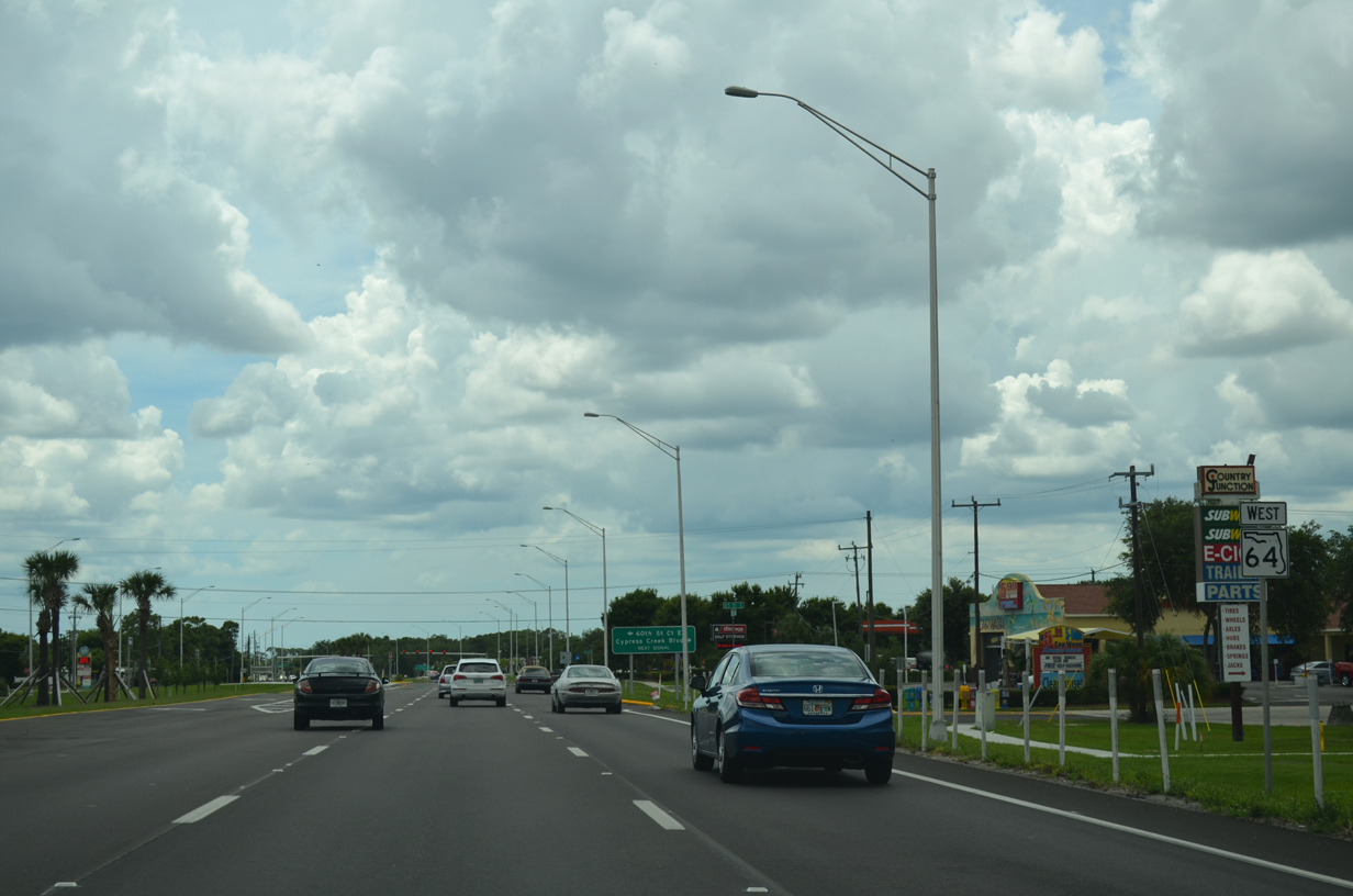
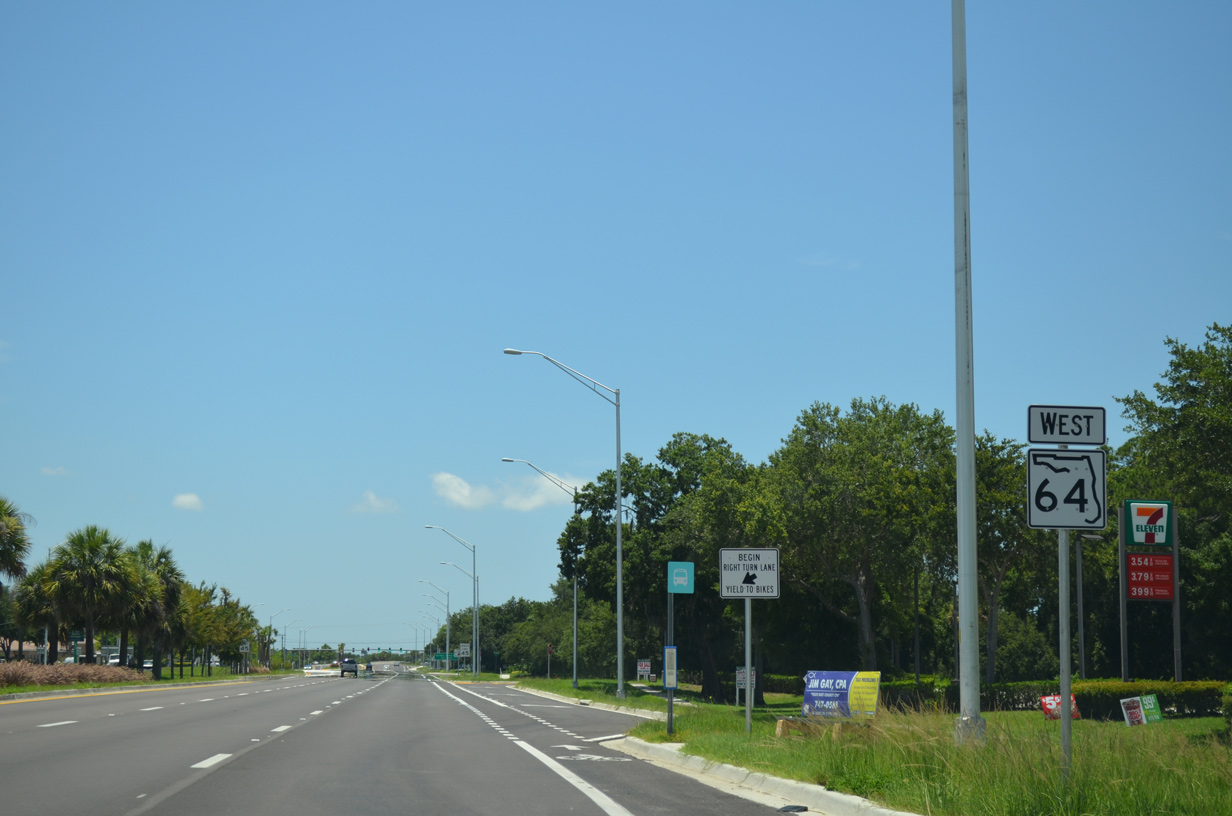
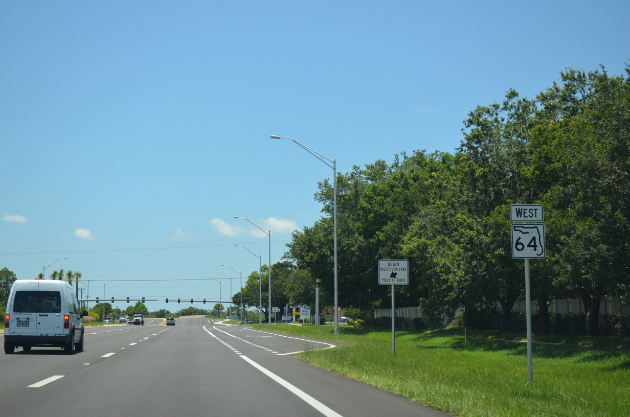
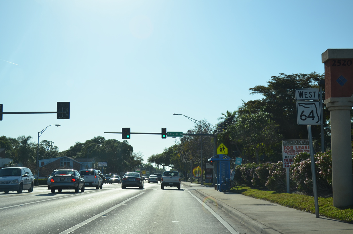
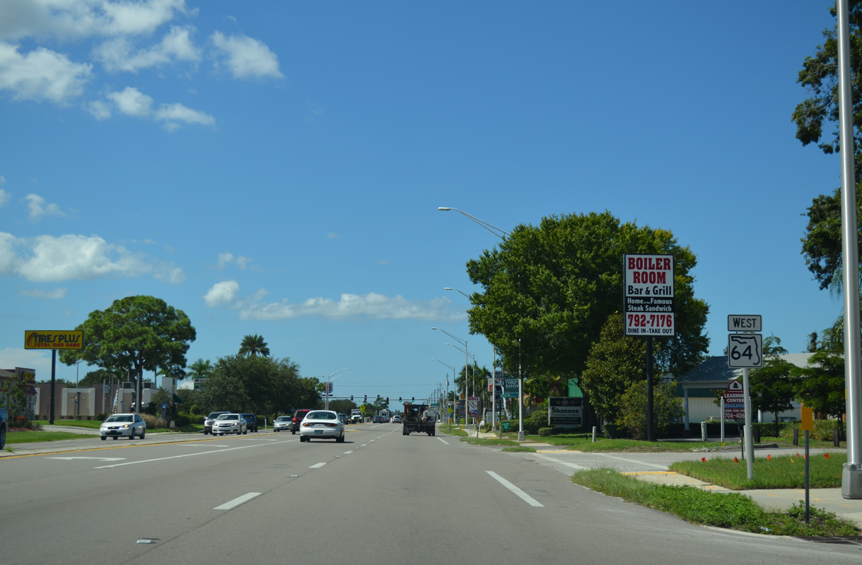
An array of traveler services line SR 64 just west of Interstate 75.
06/01/14
06/01/14
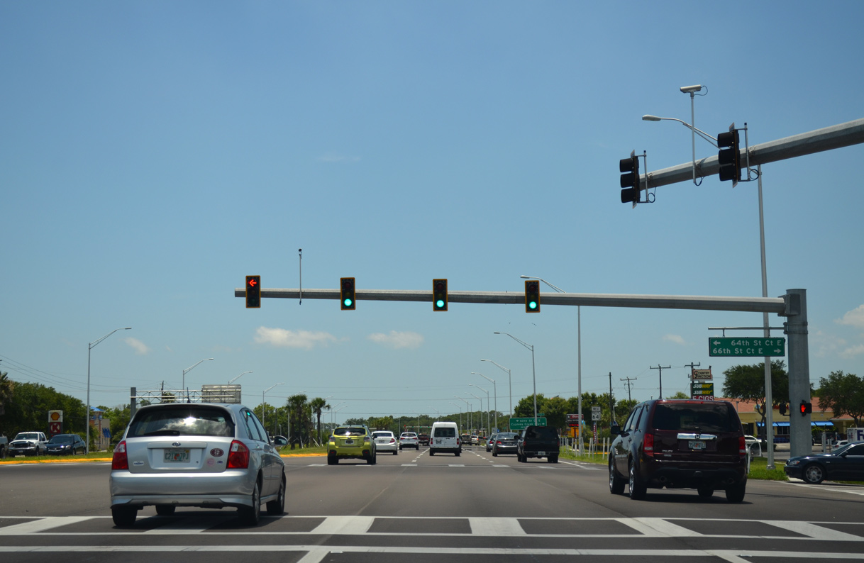
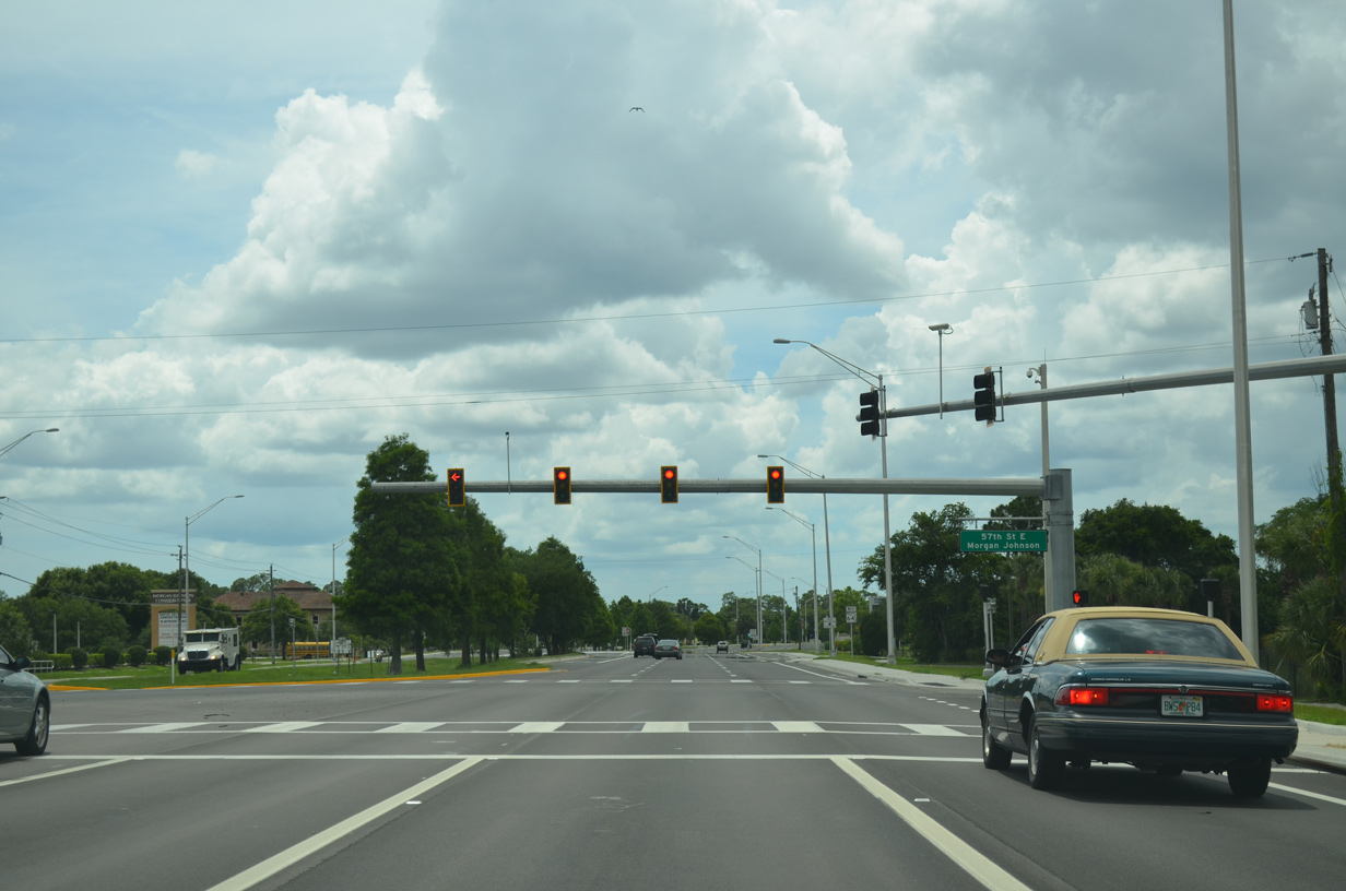
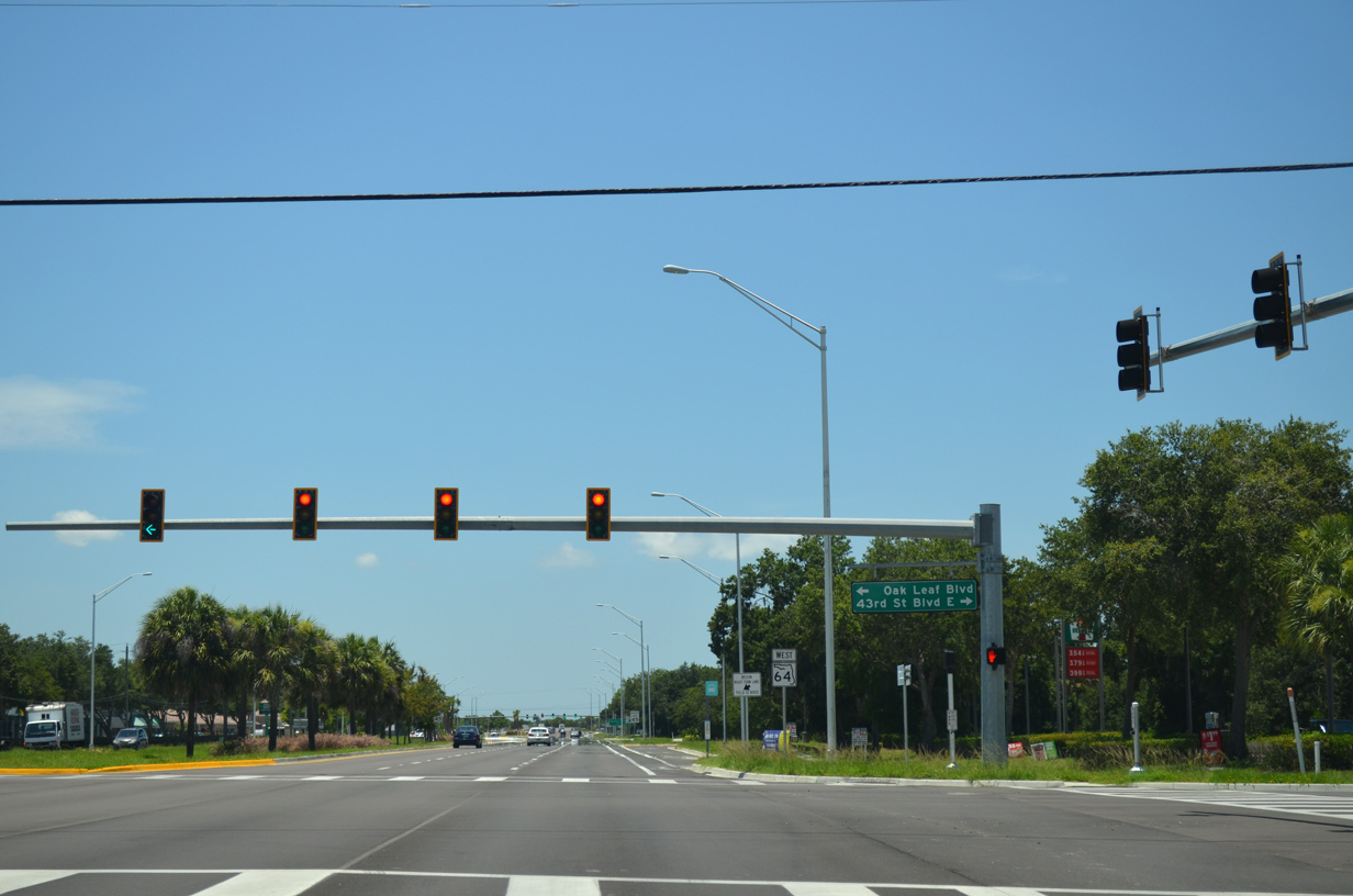
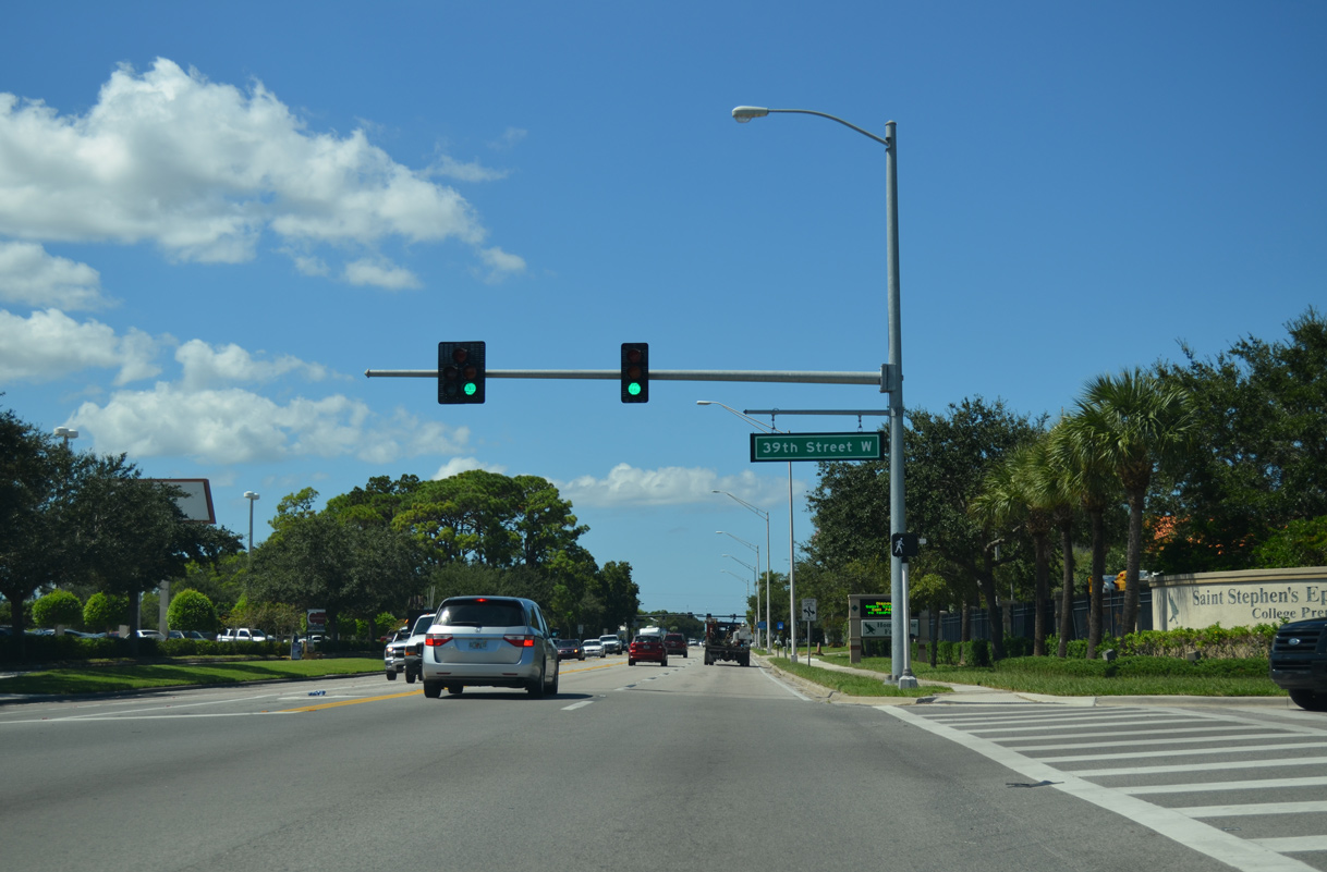
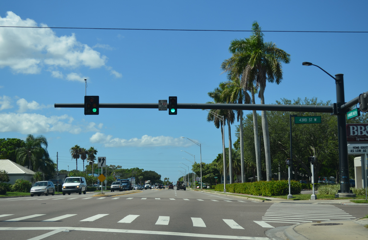
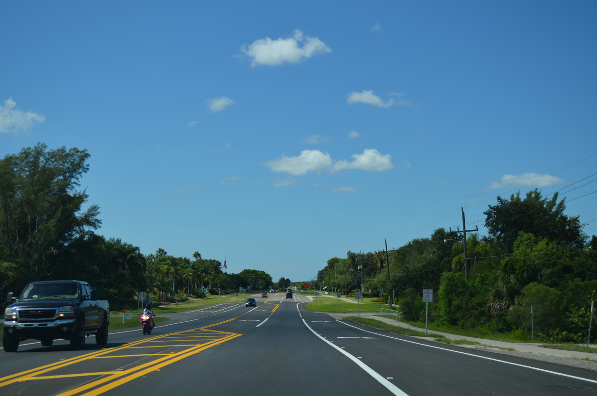
The signal with 64th Street Court E south and 66th Street Court E north is the first of several for adjacent businesses and residential areas beyond the commercial strip along SR 64.
06/30/14
06/30/14
06/01/14

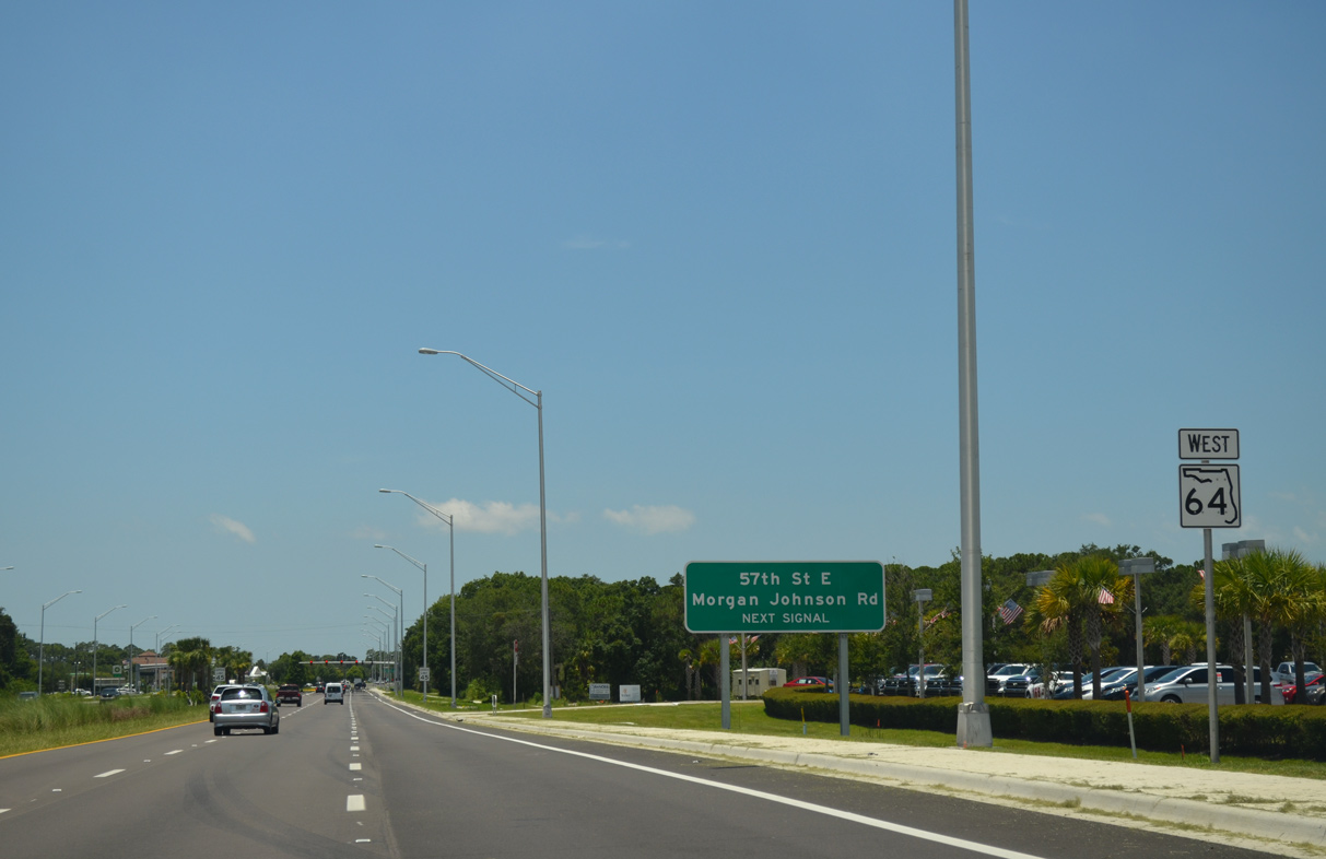
Cypress Creek Boulevard leads north to Tom Bennett Park and Kay Road, which extends the collector to the Cypress Creek Estates and Heritage Harbour developments.
06/30/14
06/30/14
06/30/14
06/01/14
06/30/14
06/01/14
06/30/14
06/30/14
06/30/14
06/30/14
06/01/14

SR 64 (Manatee Avenue) intersects 17th Street E by Manatee Elementary School.
10/01/13
10/01/13
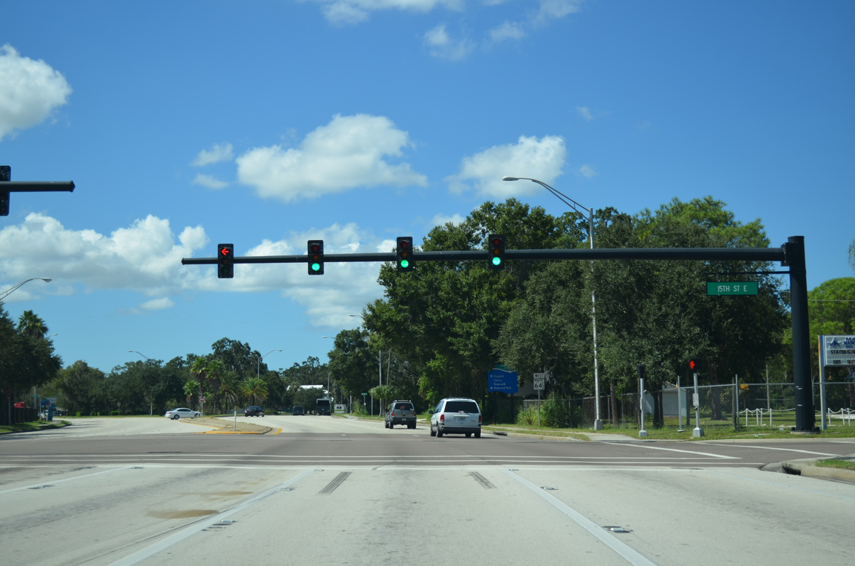
15th Street E is an unsigned branch of SR 70 leading south 3.09 miles to 301 Boulevard (CR 683).
10/01/13
10/01/13
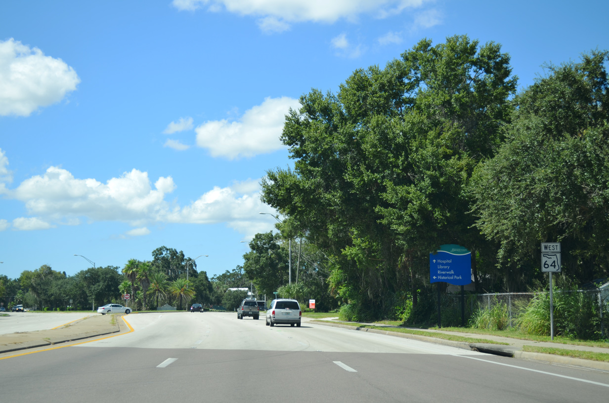
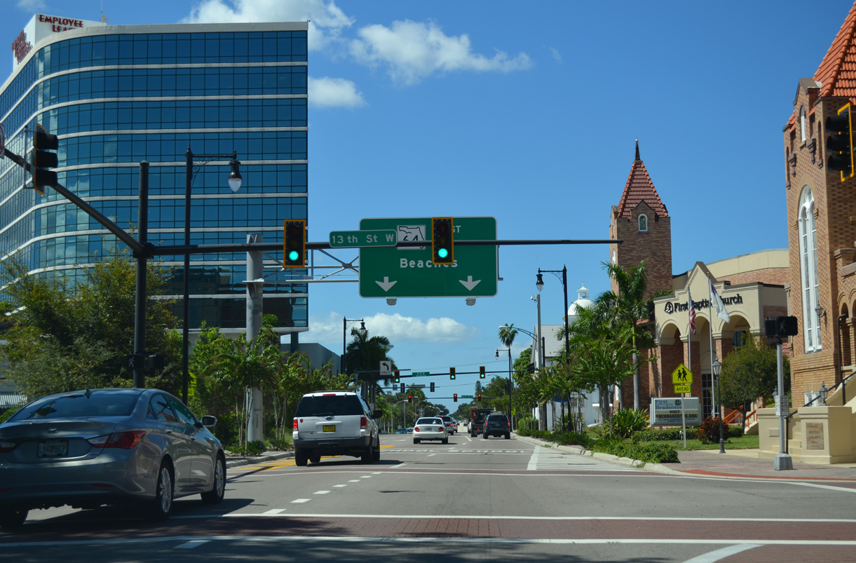
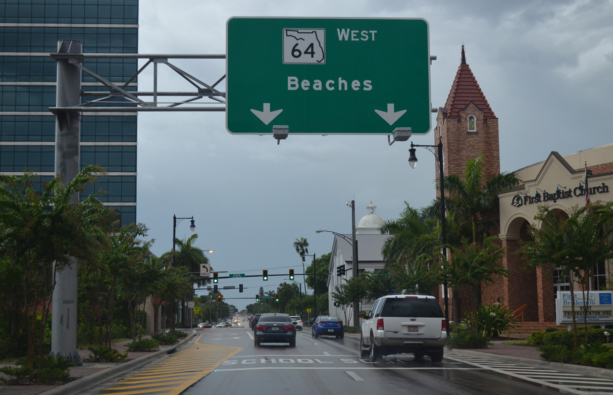
West from 15th Street E (SR 70), SR 64 separates into a couplet following Manatee Avenue west and 7th Avenue E east.
10/01/13
10/01/13
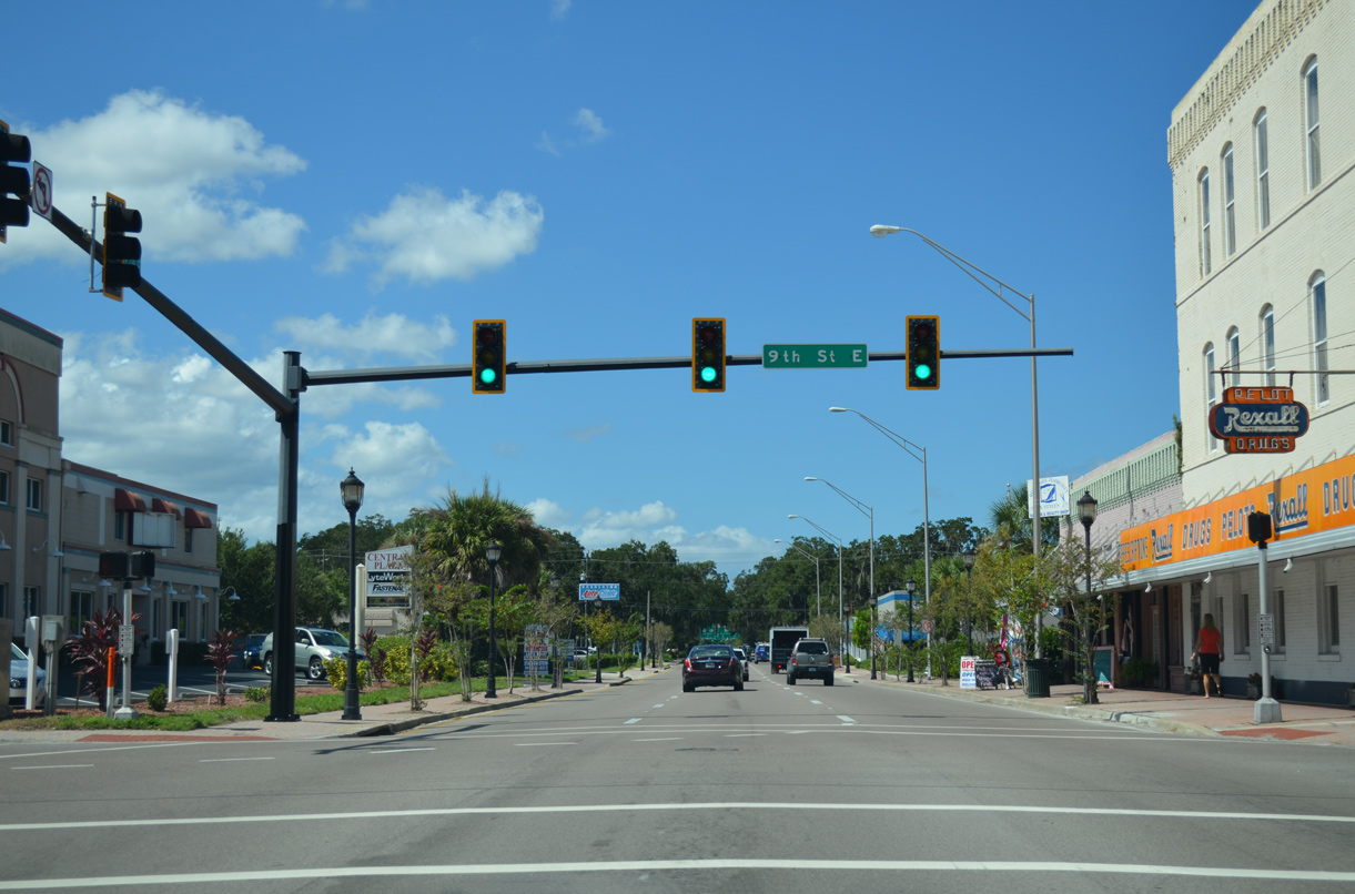
9th Street E heads south to the Tropicana Bradenton Juice Plant, the West Samoset community and SR 70 at Oneco.
10/01/13
10/01/13
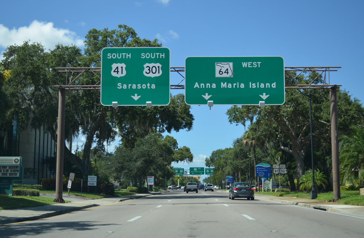
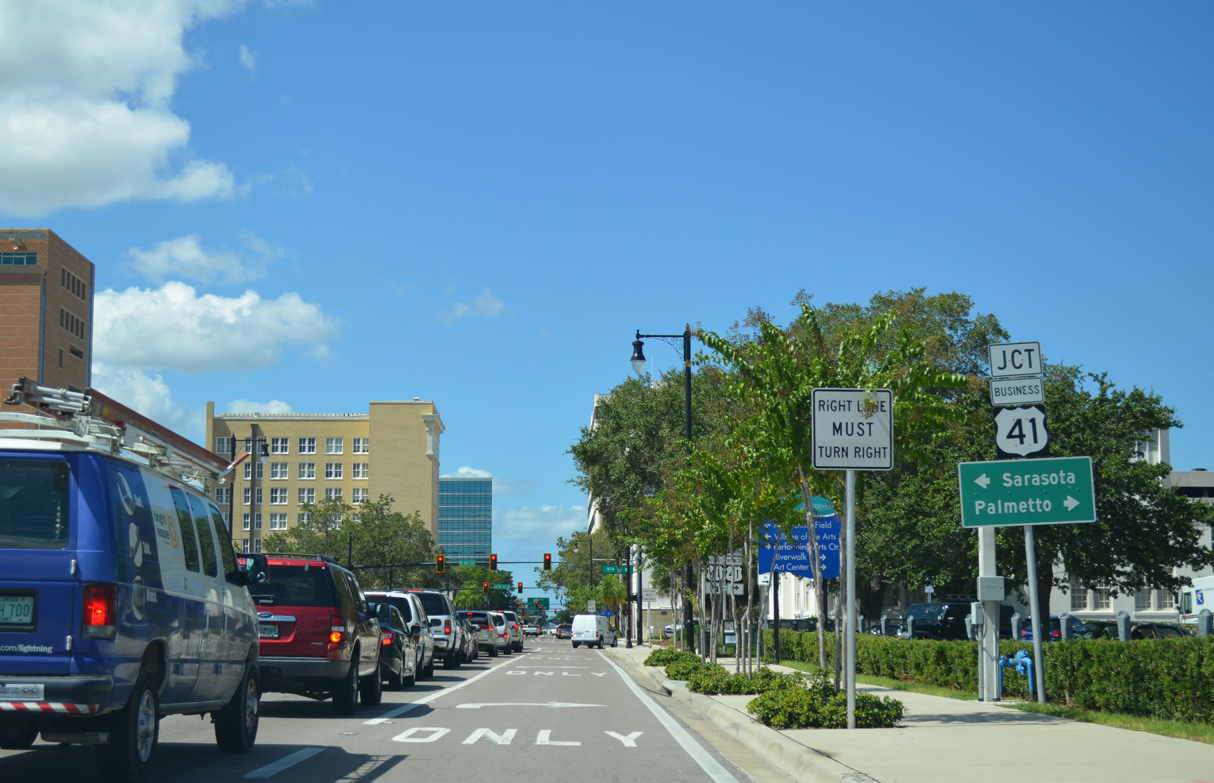
Continuing west along Manatee Avenue toward Downtown Bradenton, SR 64 meets U.S. 41/301 (1st Street E) by Manatee Memorial Hospital.
10/01/13
10/01/13
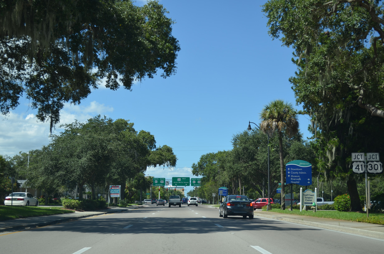
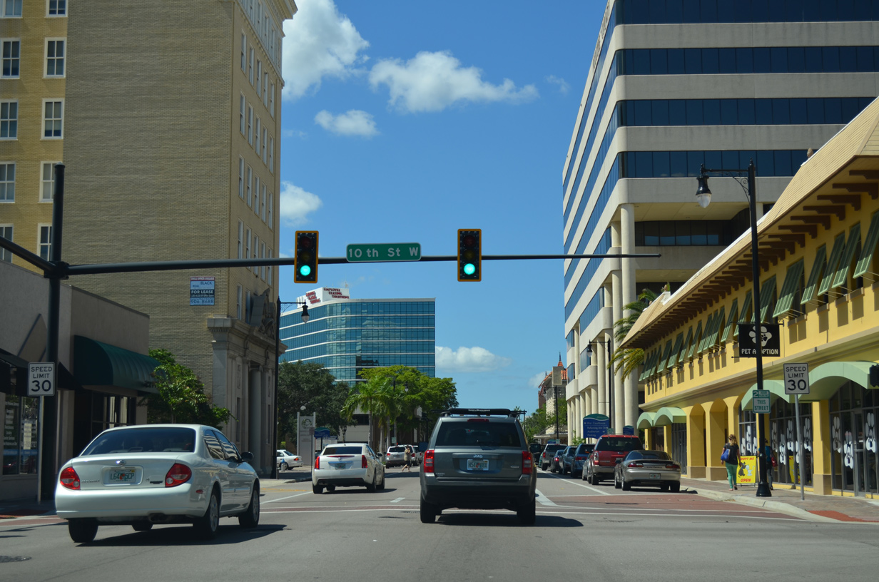
U.S. 41/301 overlap 2.39 miles from 17th Avenue W in Bradenton to 10th Street W (SR 43) in Palmetto.
10/01/13
10/01/13
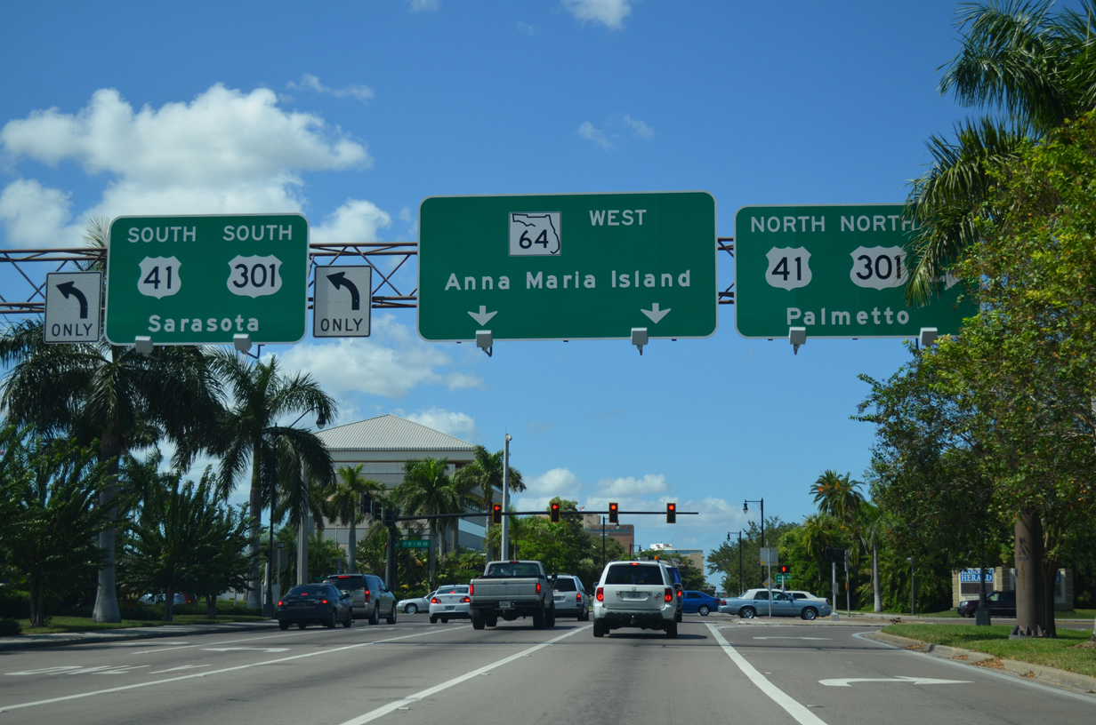
U.S. 41/301 separate south from Bradenton on respective routes to Sarasota. North beyond Palmetto, U.S. 41 continues to Ruskin while U.S. 301 turns east to Ellenton.
10/01/13
10/01/13
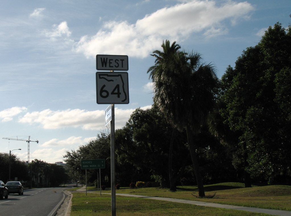
The confirming marker for SR 64 west of U.S. 41/301 (1st Street E) was removed during construction widening Manatee Avenue to three lanes in 2011.
10/28/06
10/28/06
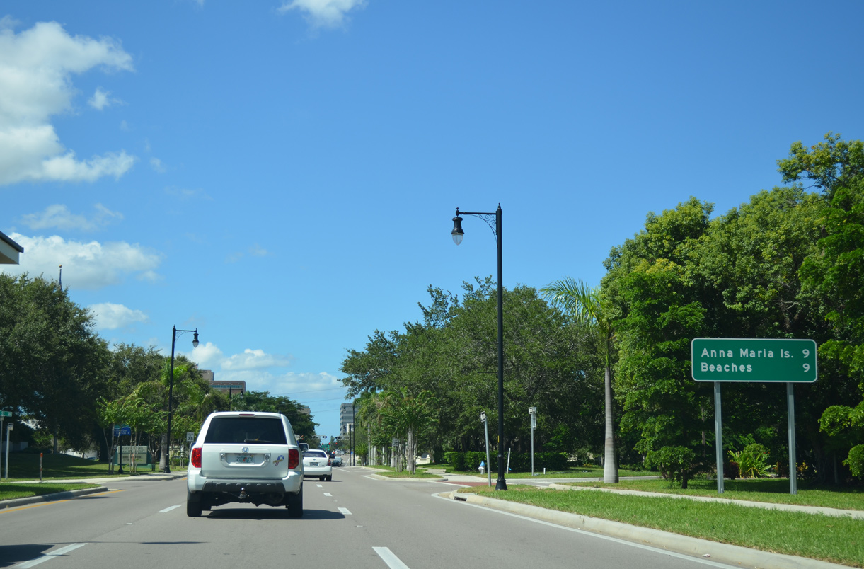
The distance sign for Anna Maria Island posted west of U.S. 41/301 was removed by the development of the Aria Bradenton apartment complex in 2019.
10/01/13
10/01/13
SR 64 meets U.S. 41 Business (9th Street W) at Downtown Bradenton.
10/01/13
10/01/13
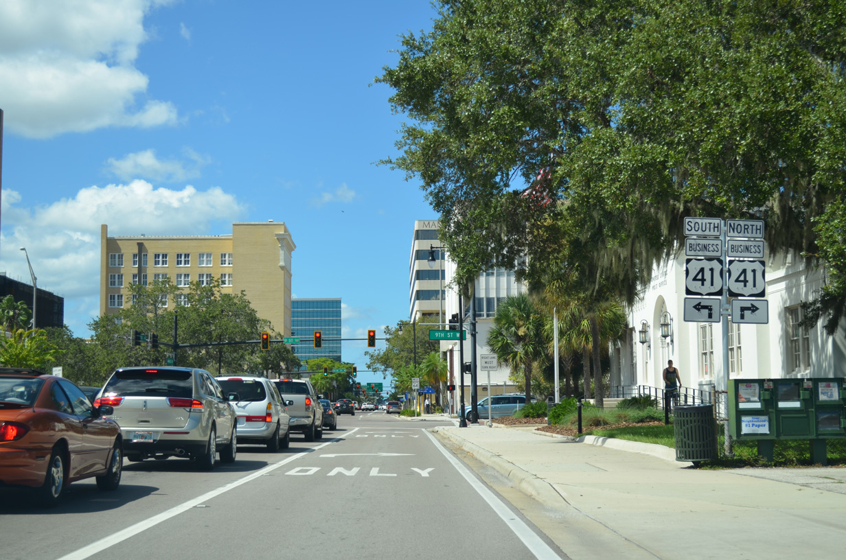
U.S. 41 Business spans the Manatee River north across the Green Bridge to Downtown Palmetto. South from SR 64, U.S. 41 Business dog legs west along 8th Avenue W to 14th Street W en route to South Bradenton.
10/01/13
10/01/13

08/09/13
10/01/13
10/01/13
10/01/13
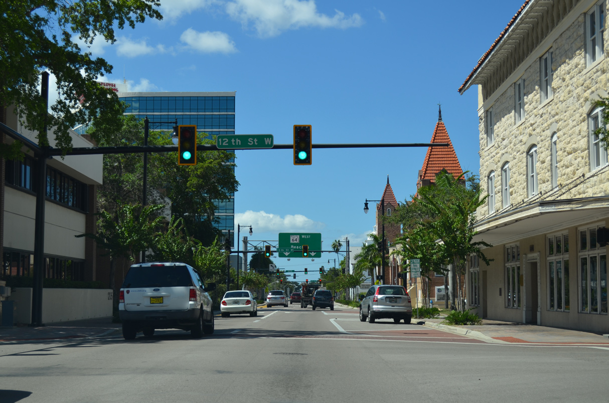
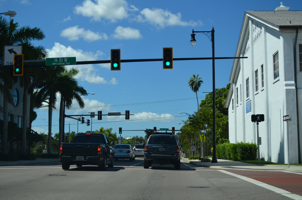
SR 64 (Manatee Avenue) westbound switches back to two way traffic at 15th Street W (SR 64 eastbound).
08/09/13
08/09/13
10/01/13
10/01/13
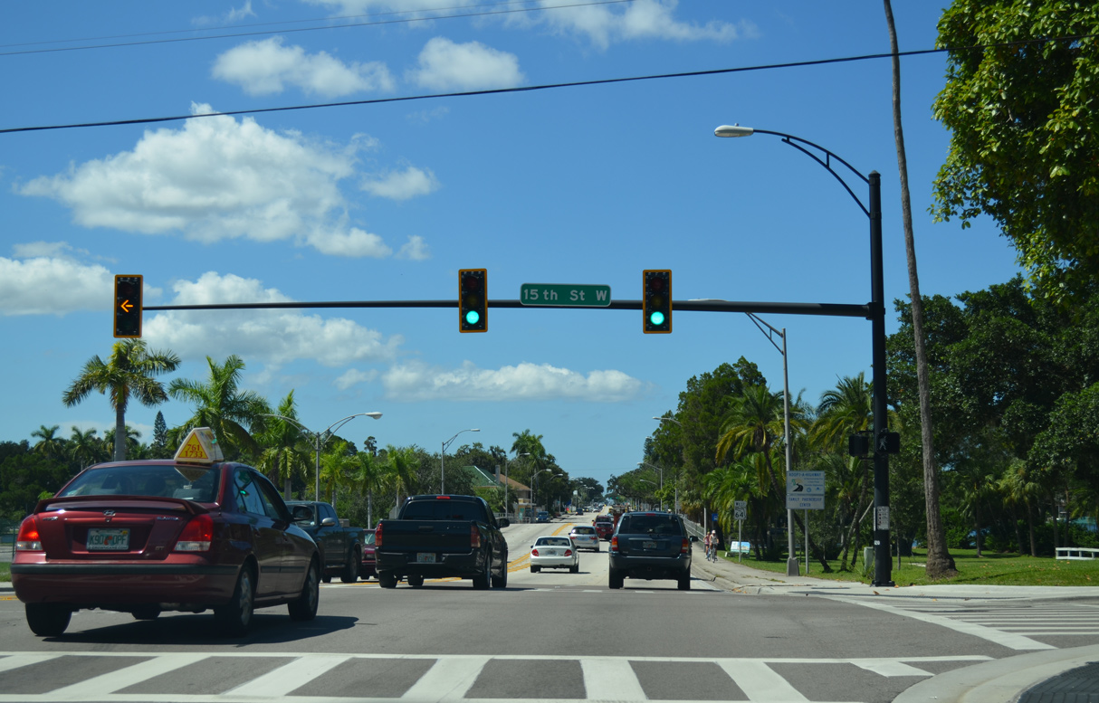
SR 64 (Manatee Avenue) proceeds west from 15th Street W across Wares Creek.
10/01/13
10/01/13
04/02/14
10/01/13
10/01/13

10/01/13
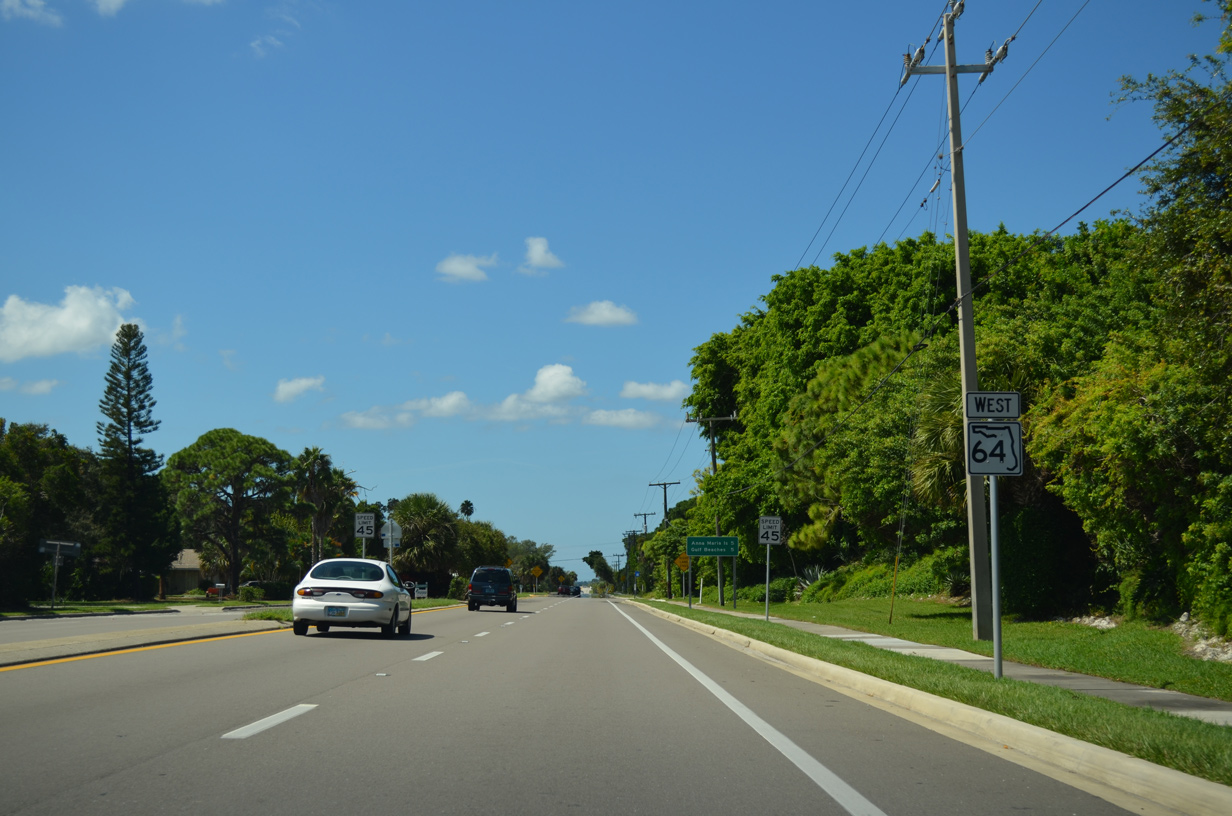
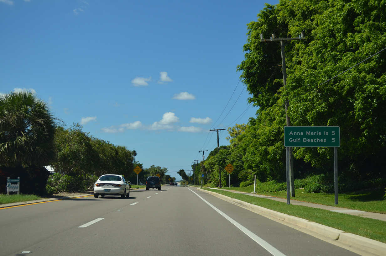
A reassurance marker for SR 64 stands west of 55th Street W.
10/01/13
10/01/13
10/01/13
10/01/13
10/01/13
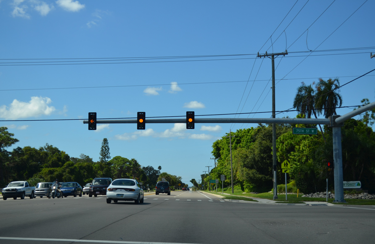
75th Street W is unsigned CR 64 north 2.25 miles to Palma Sola and the Desoto National Memorial along the Manatee River and south 2.30 miles to SR 684 (Cortez Road).
10/01/13
10/01/13
10/01/13
10/01/13
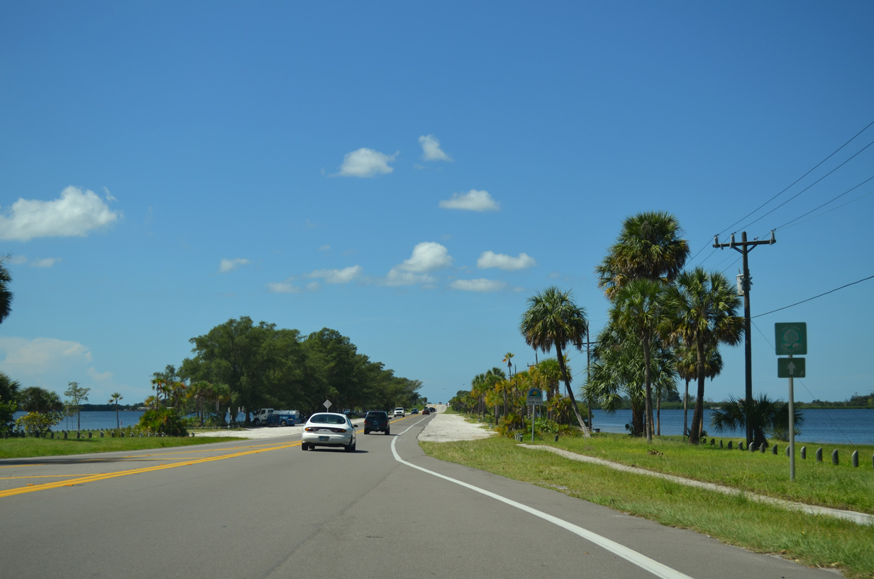
Leaving the built up area of Bradenton, SR 64 crosses Palma Sola Bay on a causeway.
10/01/13
10/01/13

10/01/13

10/01/13
Crossing Perico Bayou, SR 64 (Manatee Avenue) advances onto Perico Island and western reaches of the Bradenton city limits.
10/01/13
10/01/13
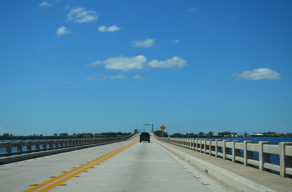
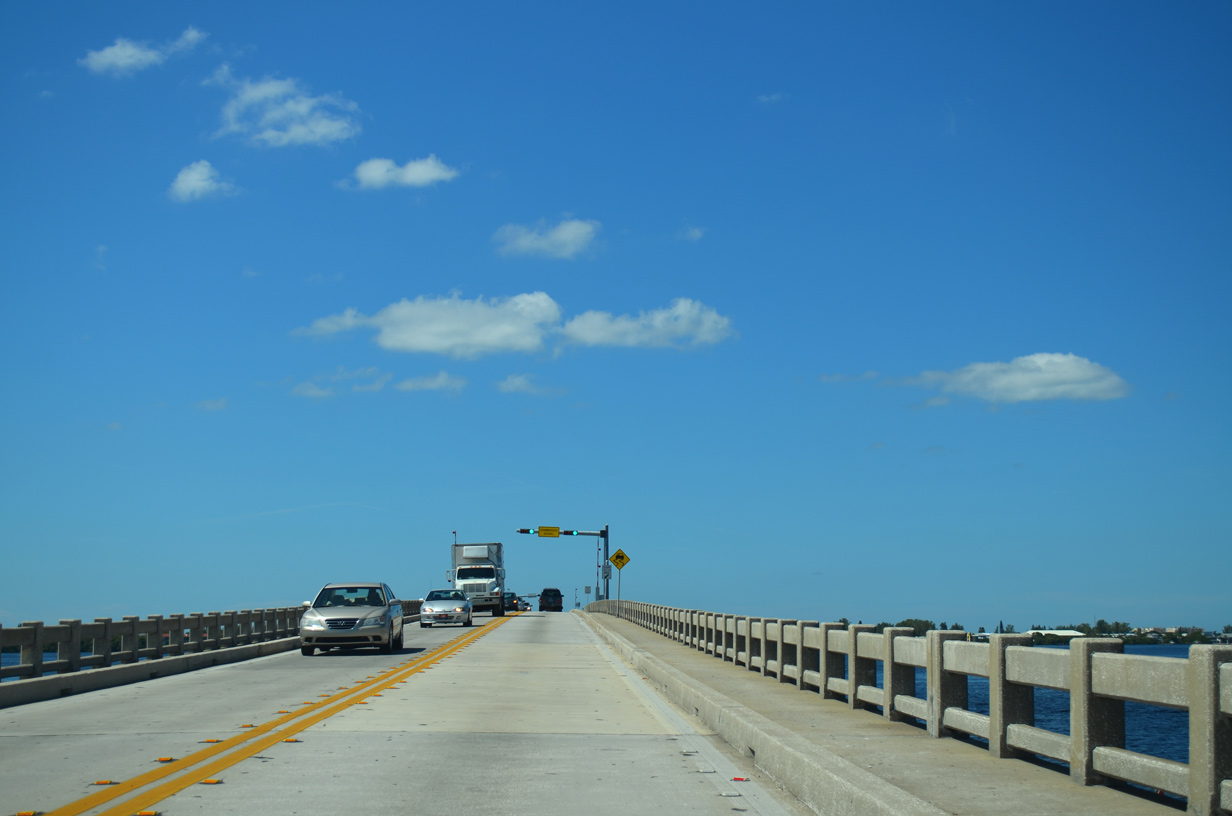
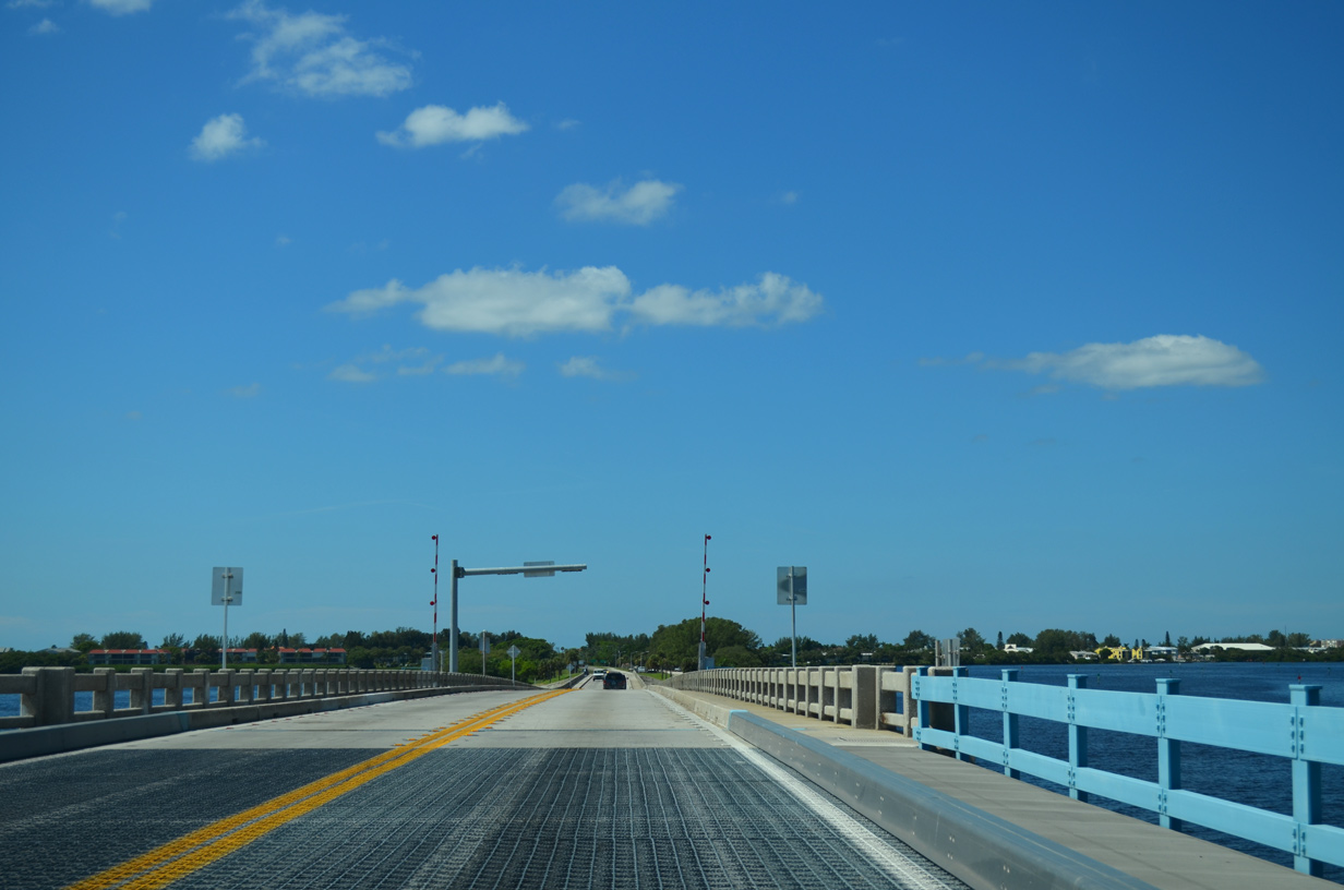
Leaving Perico Island, SR 64 spans Anna Maria Sound over the Anna Maria Island Bridge.
10/01/13
10/01/13
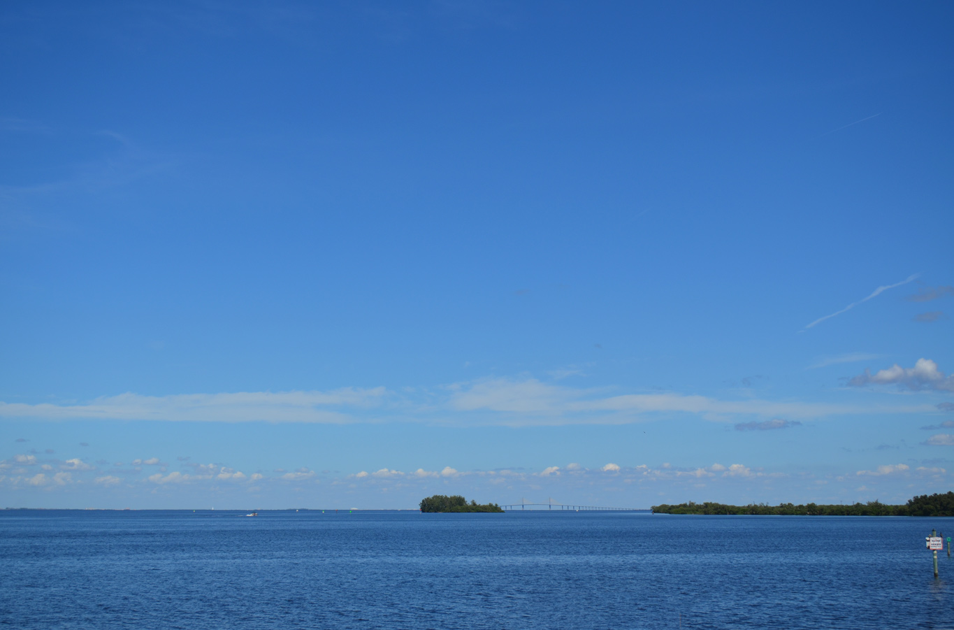
The Sunshine Skyway appears along the northern horizon beyond Anna Maria Sound over Tampa Bay.
10/01/13
10/01/13
The Anna Maria Island Bridge crests at 23.0 feet above the Gulf Intracoastal Waterway.1</sup.
10/01/13
10/01/13
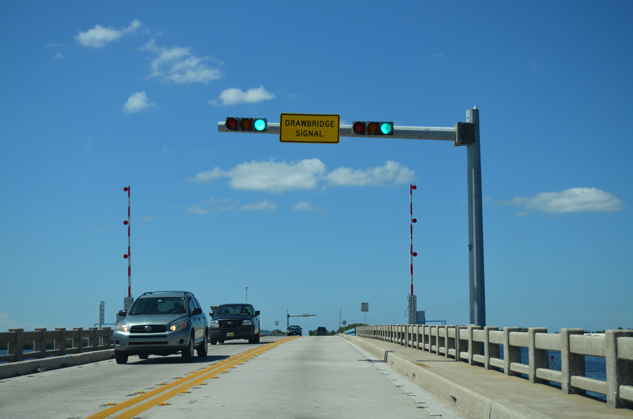
Future construction replaces the bascule bridge over Anna Maria Sounds with a fixed, high level span providing 65 foot of vertical clearance.
10/01/13
10/01/13
The Anna Maria Island Bridge measures 3,123 feet in length and was built in 1957.1
10/01/13
10/01/13
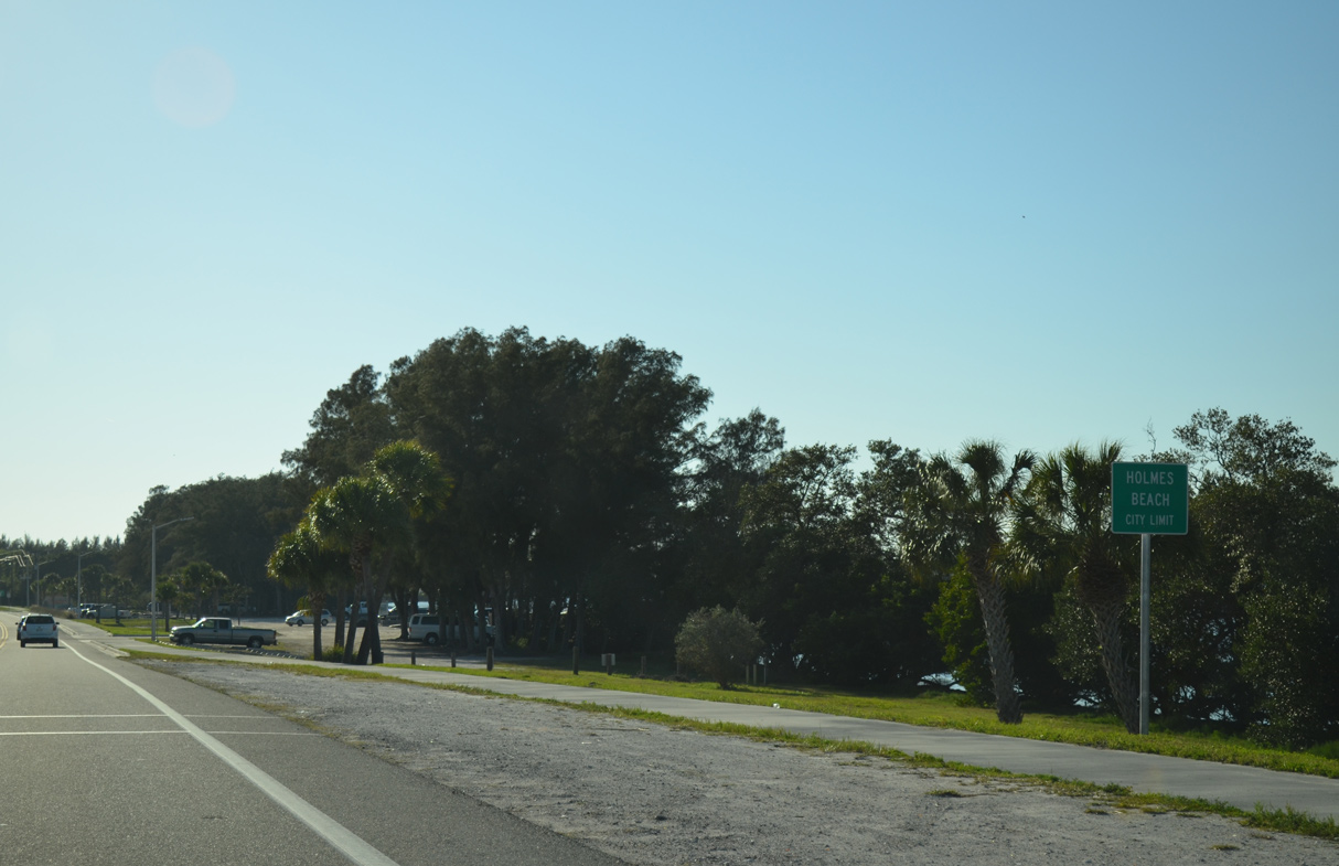
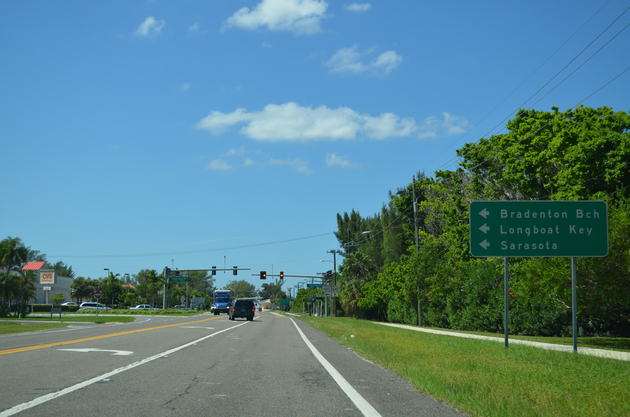
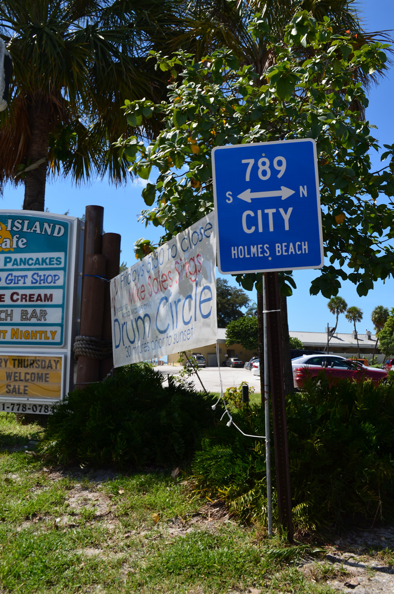
SR 64 (Manatee Avenue) enters the city of Holmes Beach just ahead of SR 789 (Bay Drive).
04/02/14
04/02/14
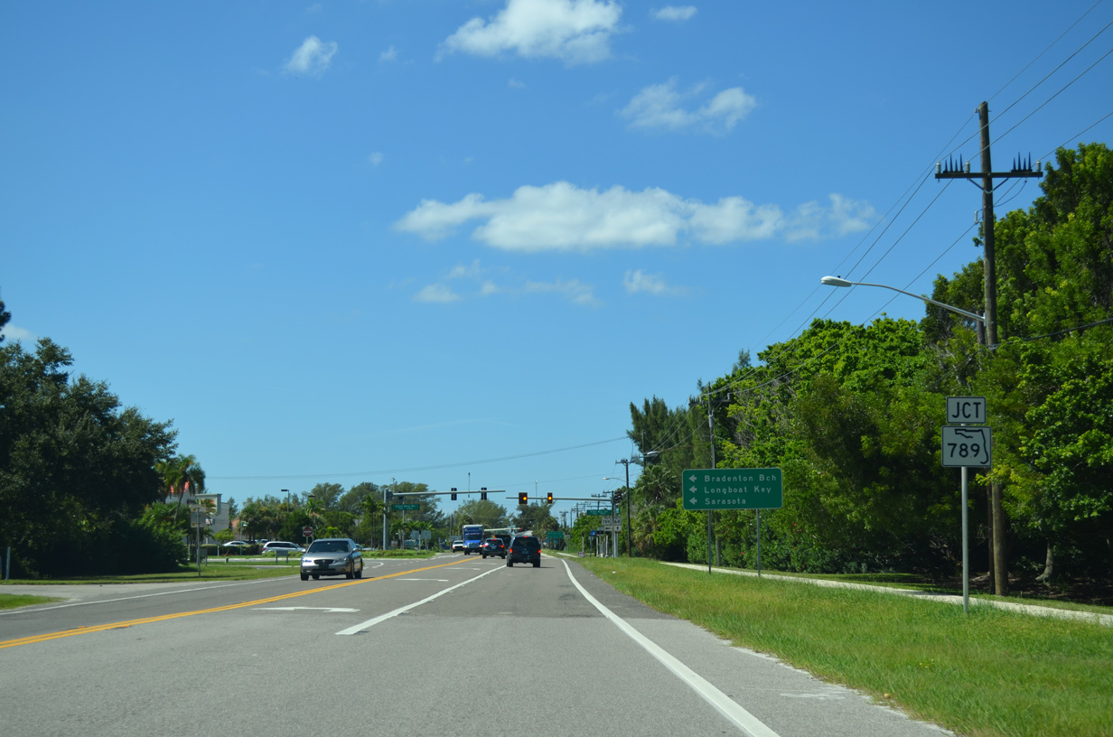
SR 789 (Bay Drive) travels south along Anna Maria Island to Bradenton Beach, and across the Longboat Pass Bridge onto Longboat Key.
10/01/13
10/01/13
Measuring 17.7 miles south to U.S. 41 in Sarasota, SR 789 follows the barrier island chain along the Gulf of Mexico to Ringling Causeway across Sarasota Bay.
10/01/13
10/01/13
10/01/13
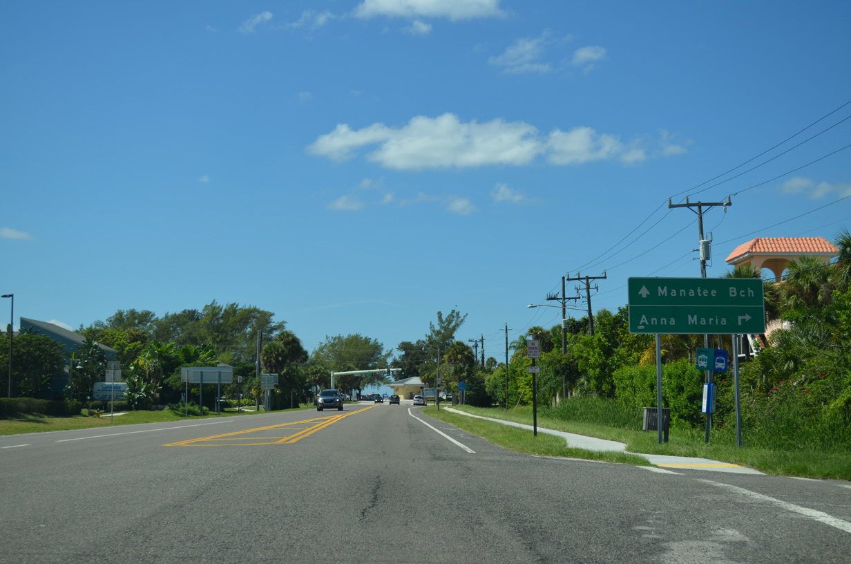
SR 64 extends 0.22 miles from SR 789 to Gulf Drive (CR 789) at Manatee Beach.
10/01/13
10/01/13
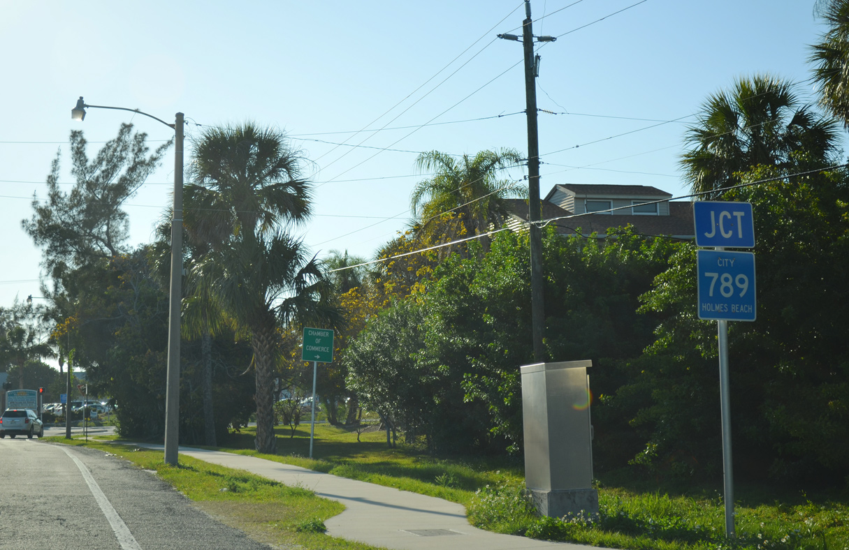
Signed in Holmes Beach as City Route 789, CR 789 (Gulf Drive) spurs 3.45 miles northwest to the city of Anna Maria.
04/02/14
04/02/14
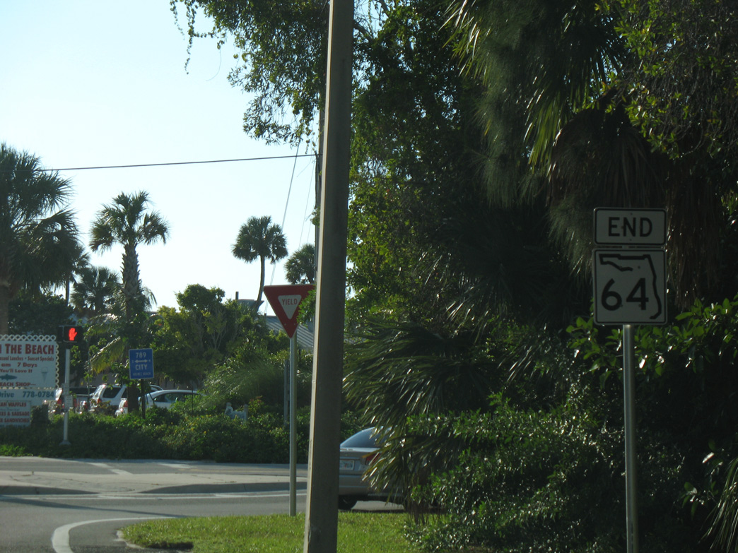
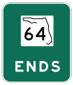
An end shield for SR 64 was formerly posted at Gulf Drive and Maria Beach. It was removed after 2011 when a side walk was constructed along Manatee Avenue.
10/15/07
10/15/07
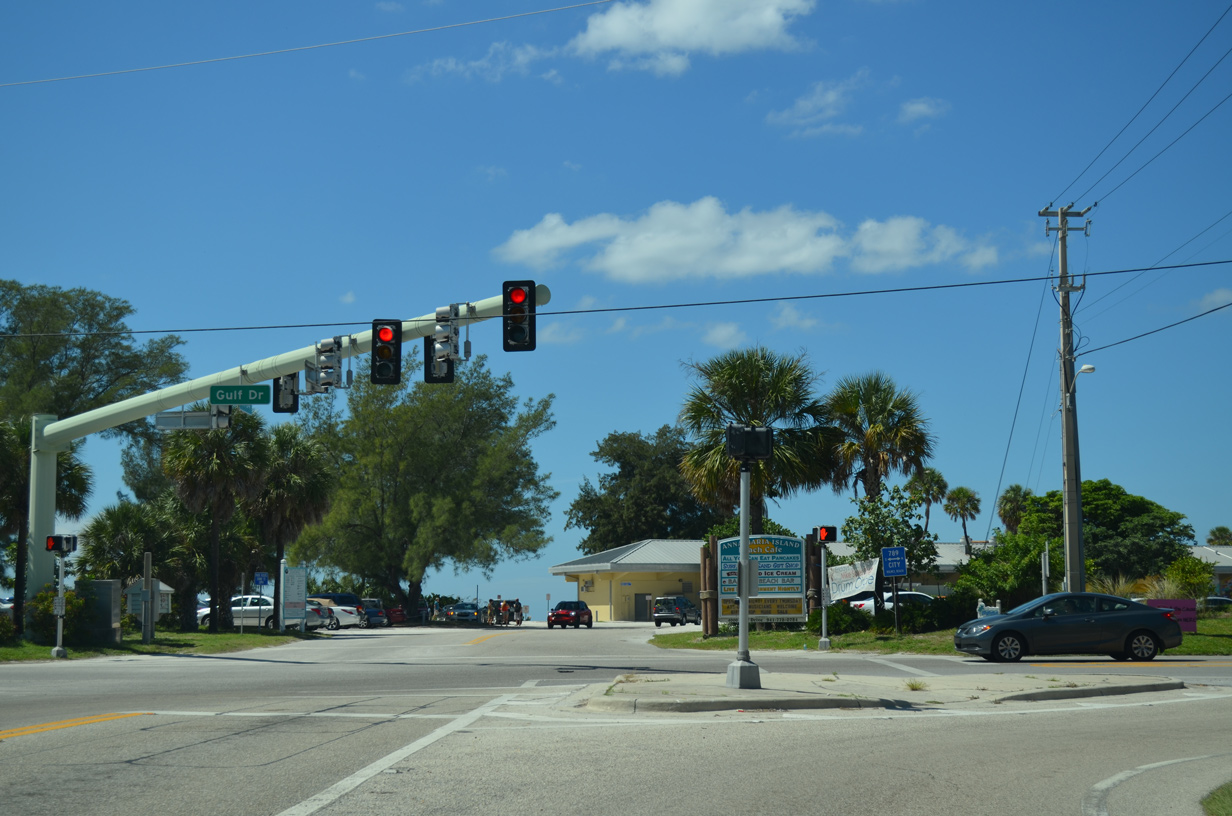
The signalized intersection joining Manatee Avenue with Gulf Drive ties into the parking area for Manatee Beach.
10/01/13
10/01/13
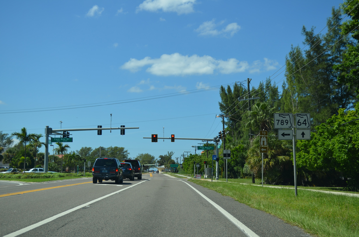
Gulf Drive continues south as a local street from SR 64 and CR 789 to SR 789 (E Bay Drive).
10/01/13
10/01/13

References:
- SR 64 over SARASOTA PASS. http://bridgereports.com/1080008 BridgeReports.com.
Photo Credits:
- ABRoads: 08/09/13, 10/01/13, 04/02/14, 06/01/14, 06/30/14
- Alex Nitzman: 10/28/06, 10/15/07
Connect with:
Page Updated Friday October 07, 2022.