
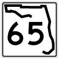
State Road 65


State Road 65 is a rural highway traveling north from U.S. 98 at Eastpoint in Franklin County to SR 12 west of Quincy in Gadsden County. Measuring 71.35 miles, SR 65 traverses area of Apalachicola National Forest through the settlements of Fort Gadsden, Sumatra and Central City. North of the forest, SR 65 connects with SR 20 at Hosford. Additionally a branch of County Road 65 extends north from Quincy along Attapulgas Highway 8.23 miles to Georgia Route 241 (Quincy Highway).
There are also two unsigned branches of County Road 65 in eastern Franklin County. The western segment lines East Bay north 3.23 miles from SR 300 to U.S. 98/319 at Magnolia Bluffs and Rose Drive. The 0.74 mile long eastern section provides a cut off from SR 300 to U.S. 98/398 at Eastpoint along Patton Drive.
 North
North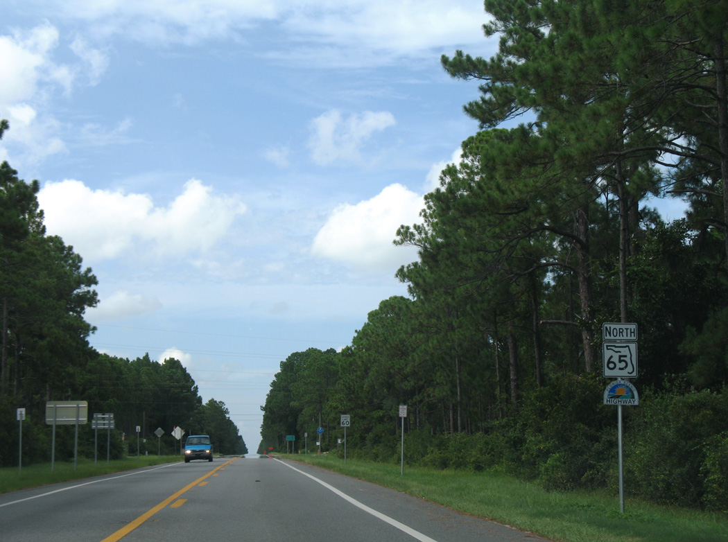
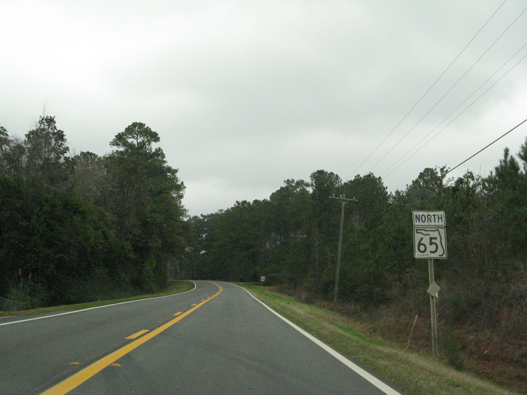
The first confirming marker for SR 65 northbound. The state road originates in a rural area west of Green Point along St. George Sound.
08/03/08
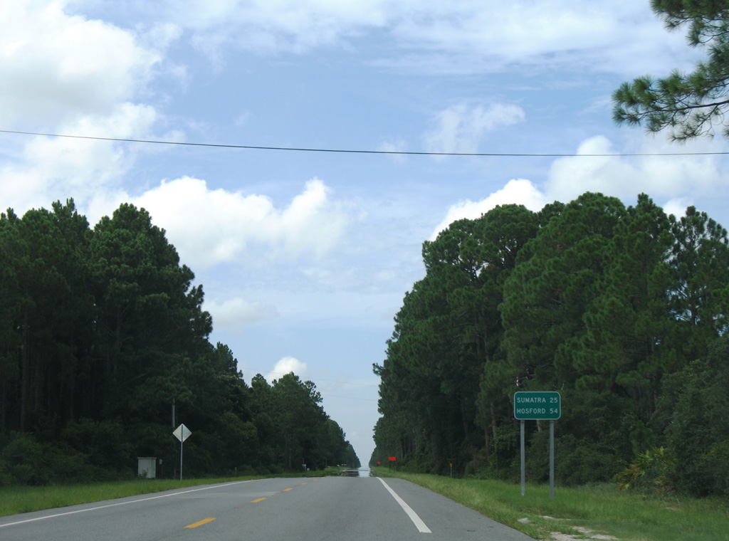
Sumtra lies just beyond the Liberty County line along SR 65 in 25 miles. The unincorporated community of Hosford is at the cross roads with SR 20 in 54 miles.
08/03/08
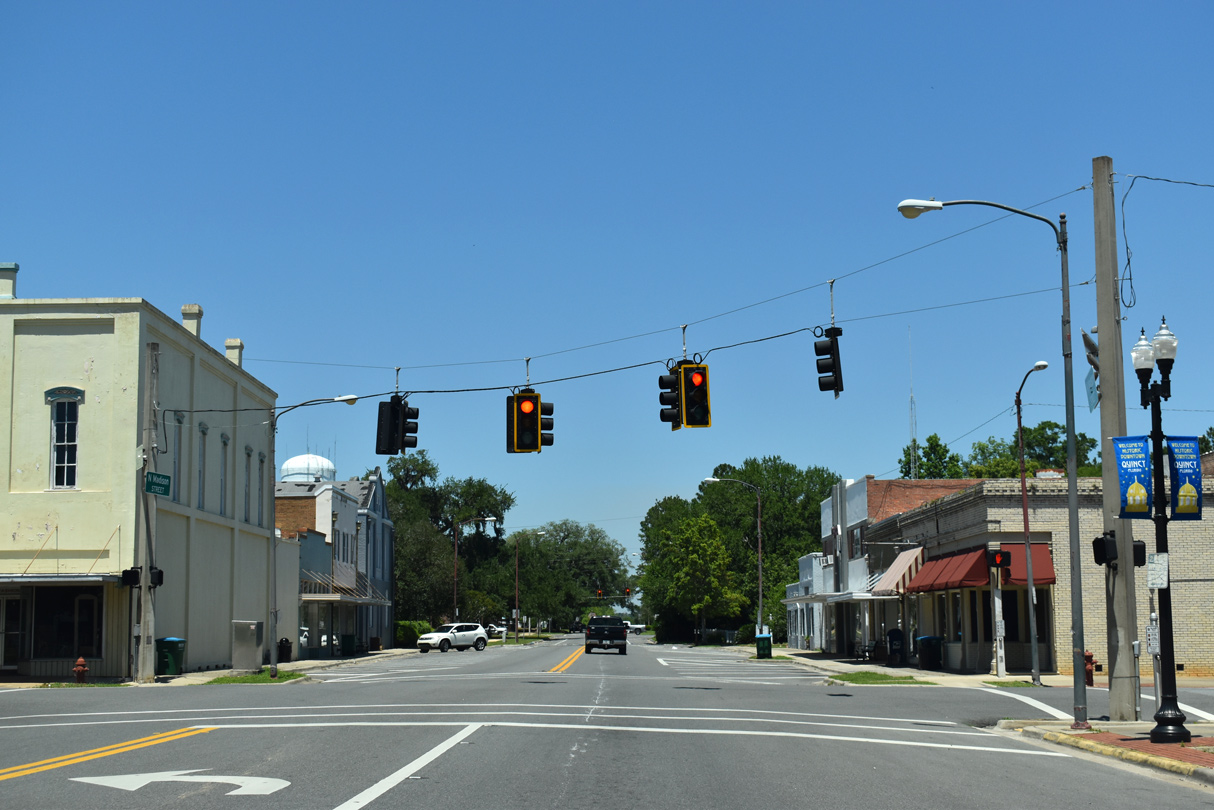
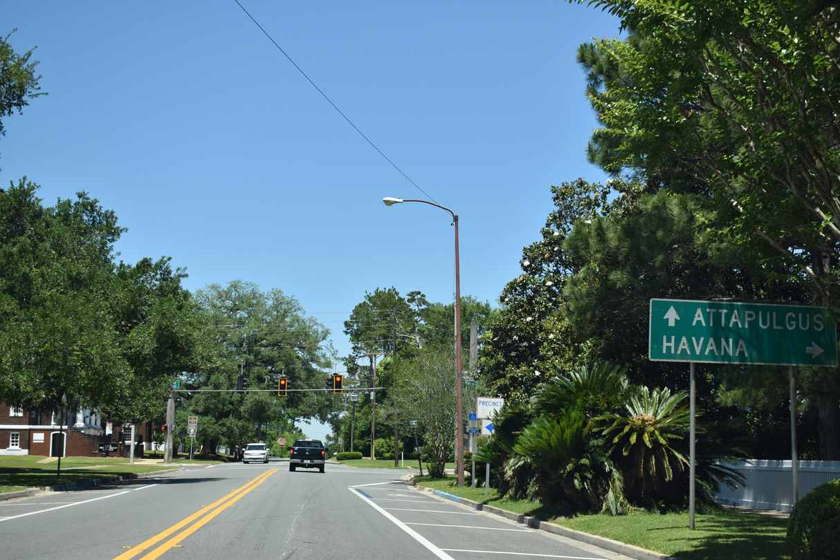
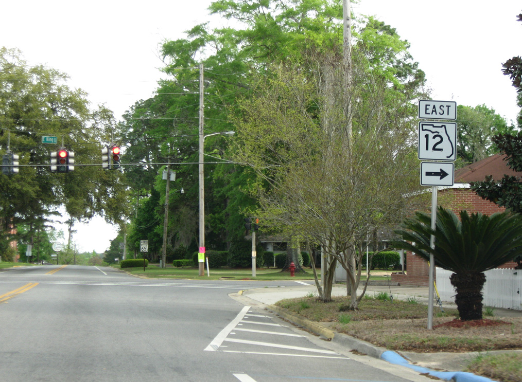
SR 65 previously overlapped with SR 12 along Madison Street three blocks north from U.S. 90 (Jefferson Street) to King Street in Quincy. Pictured here is the intersection with Washington Street.
05/02/20
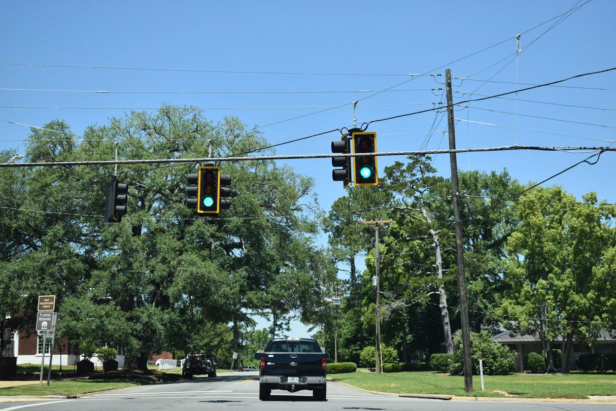
SR 12 was relocated from Madison and King Streets to bypass the Quincy Historic District via U.S. 90 and SR 269 in 2017.
05/02/20
04/10/10
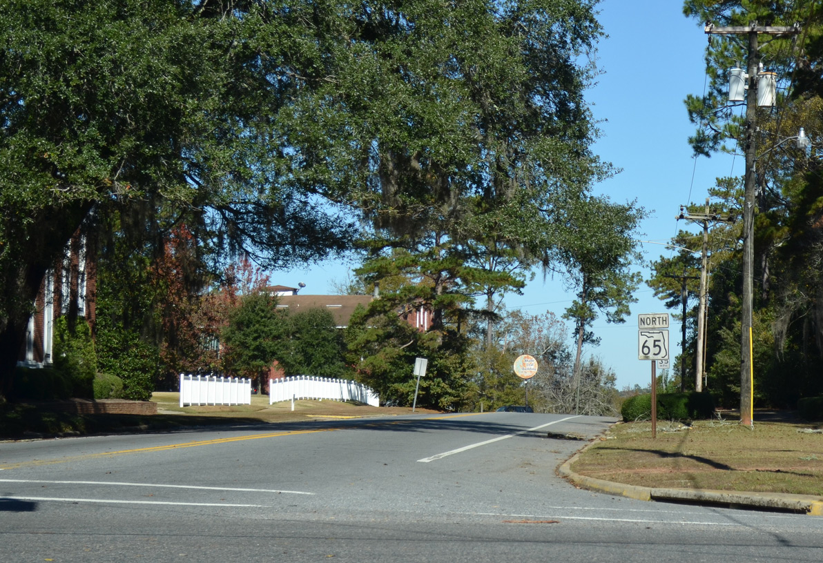
CR 65 extends north along Madison Street from the former turn of SR 12 onto King Street in Quincy.
05/02/20
11/26/14
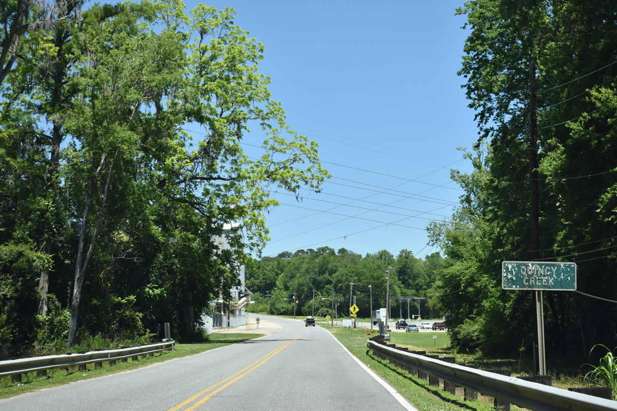
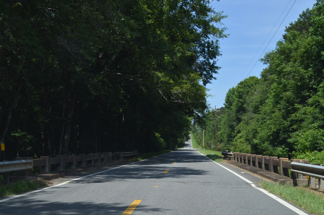
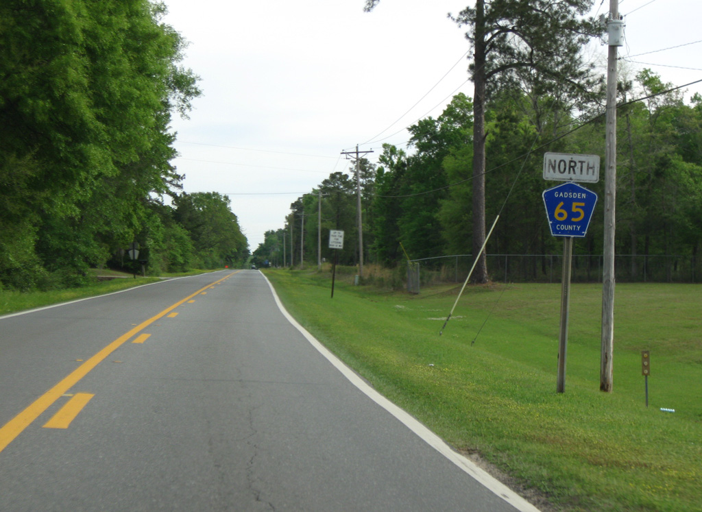
Shifting northeast, CR 65 (Madison Street) spans Quincy Creek onto Attapulgus Highway beyond the Quincy city line.
05/02/20
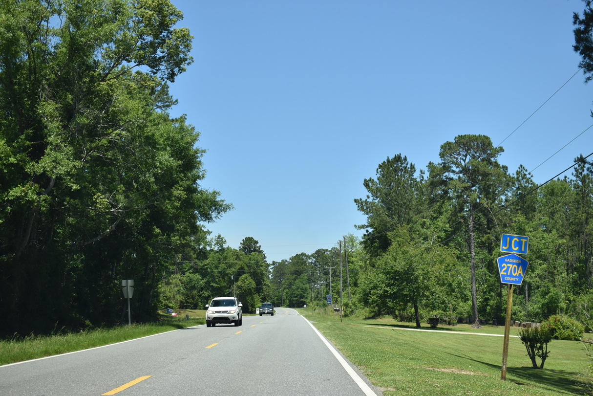
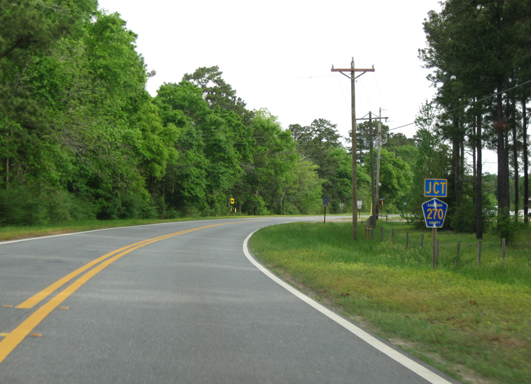
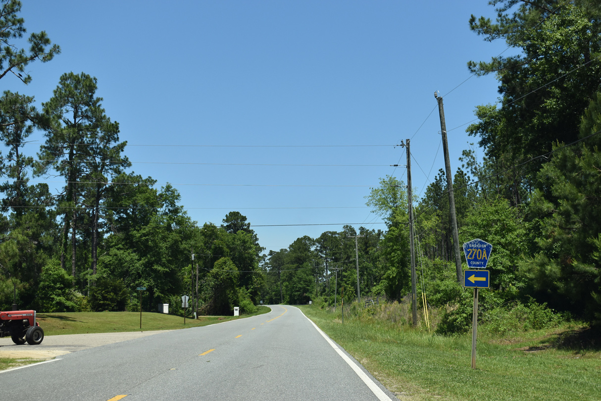
The easternmost branch of CR 270A follows Salter Road 0.85 miles west to SR 267 (Bainbridge Highway).
05/02/20
12/31/06
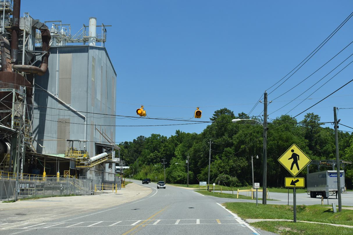
CR 270 along Woodward Road is one of six branches of the county road signed across Liberty and Gadsden Counties.
04/10/10
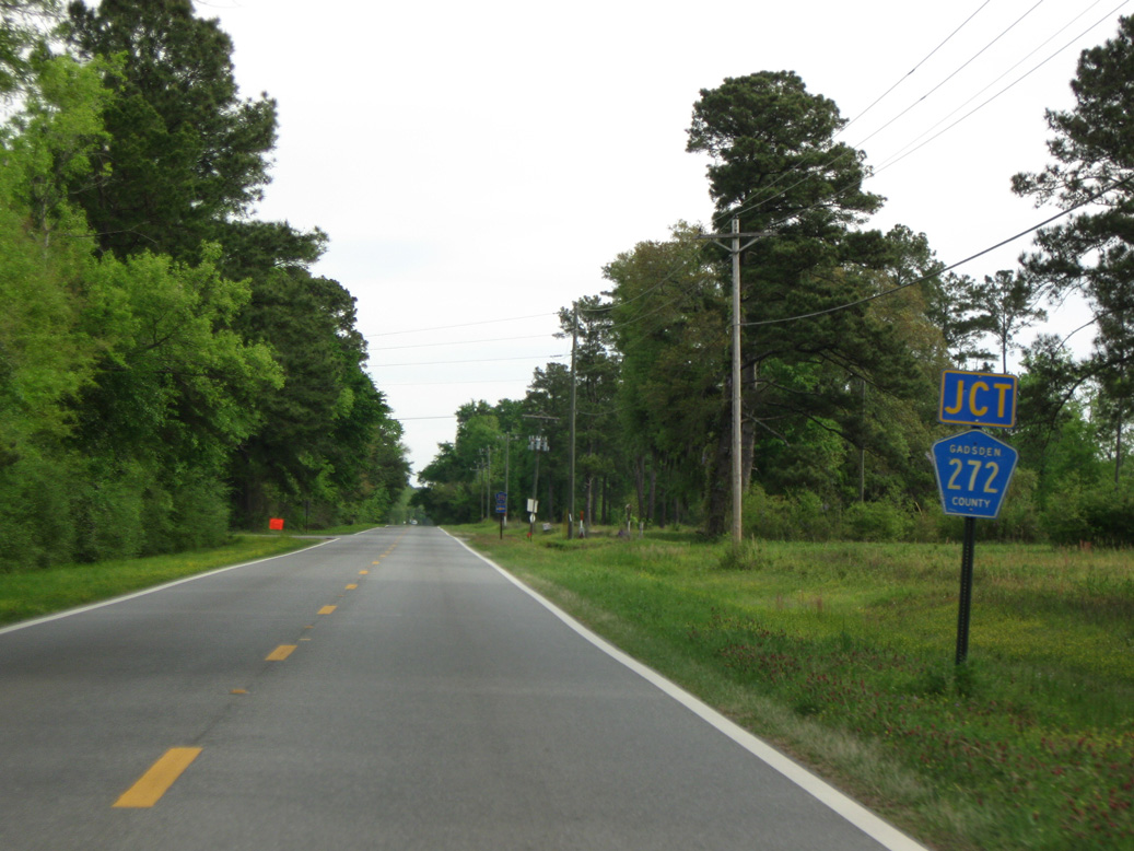
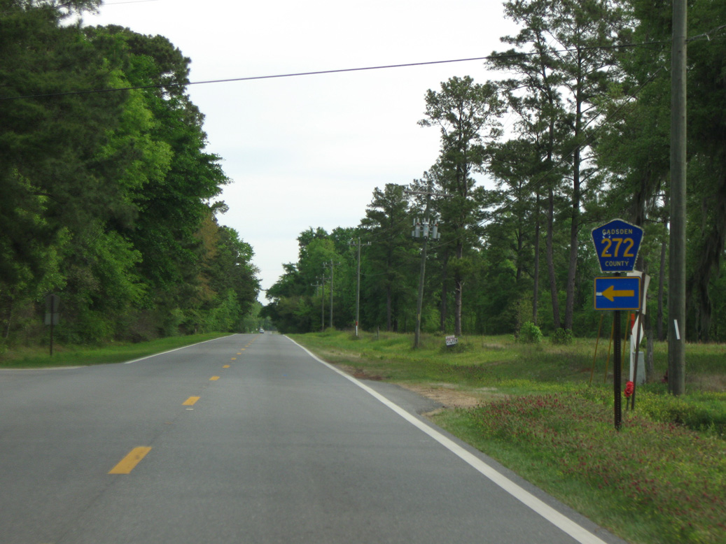
CR 272 (Old Philadelphia Church Road) provides another link between CR 65 (Attapulgus Highway) and parallel SR 267 (Bainbridge Highway).
04/10/10
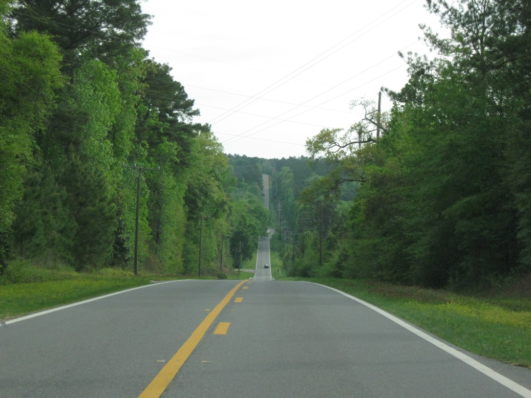
Northbound CR 65 drops 150 feet in elevation from Scottstown into a valley fed by Willacoochee Creek.
04/10/10
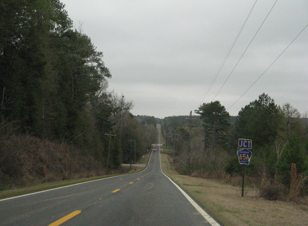
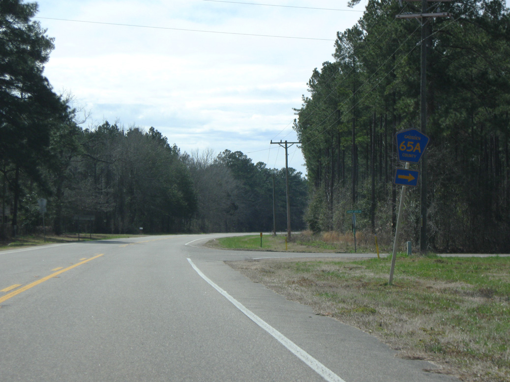
CR 65A stems 2.43 miles north to the Georgia state line.
12/31/06
04/10/10
CR 65 (Attapulgus Highway) crosses the Willacoochee Creek just north of CR 65A (Porter Mitchell Road).
05/16/16
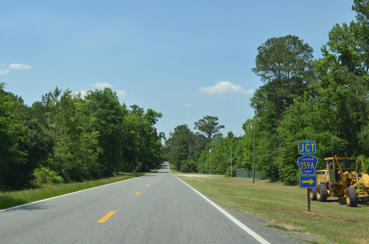
CR 159A along Dodge Ball Park Road constitutes a 1.69 mile long between CR 65 (Attapulgus Highway) and CR 159 (Salem Road) near Dogtown.
05/16/16
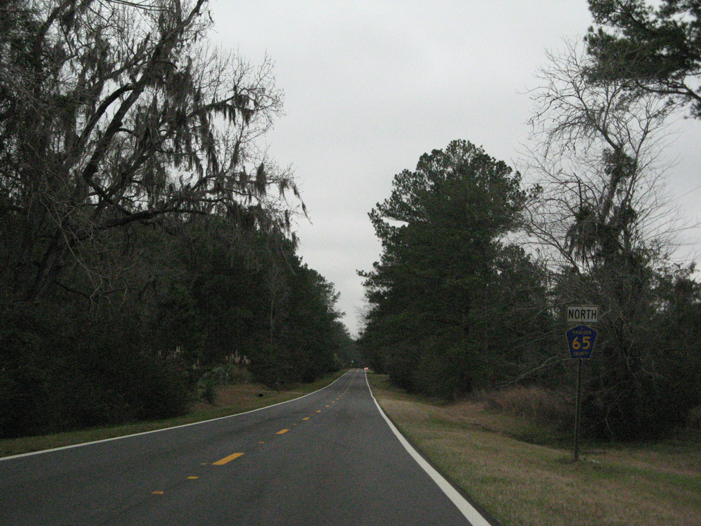
The last reassurance marker for County Road 65 northbound.
12/31/06
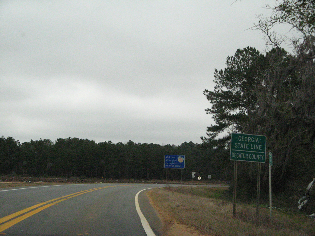
Crossing the state line, CR 65 (Attapulgus Highway) transitions to Georgia State Route 241 (Quincy Highway). SR 241 travels northeast to Attapulgus.
12/31/06
South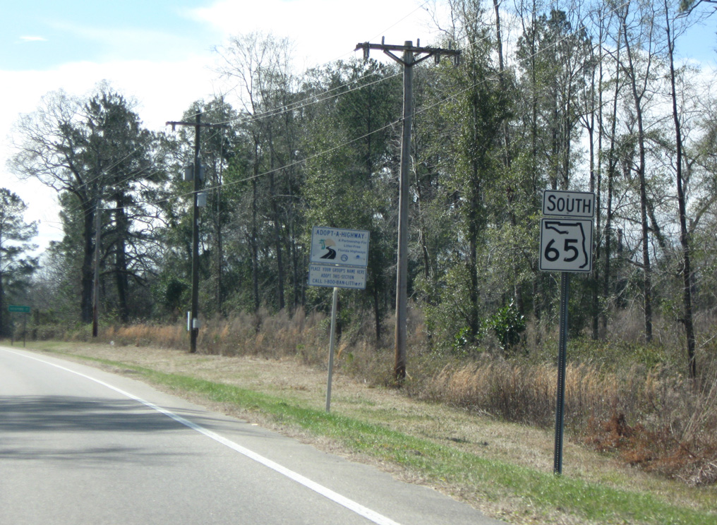
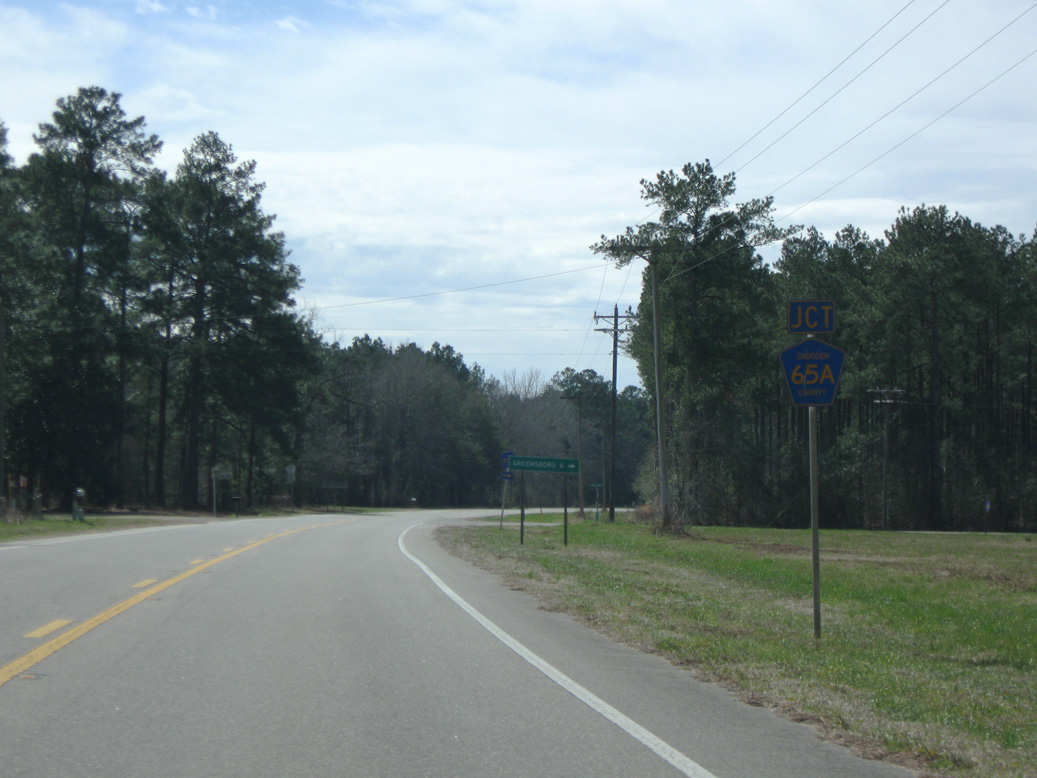
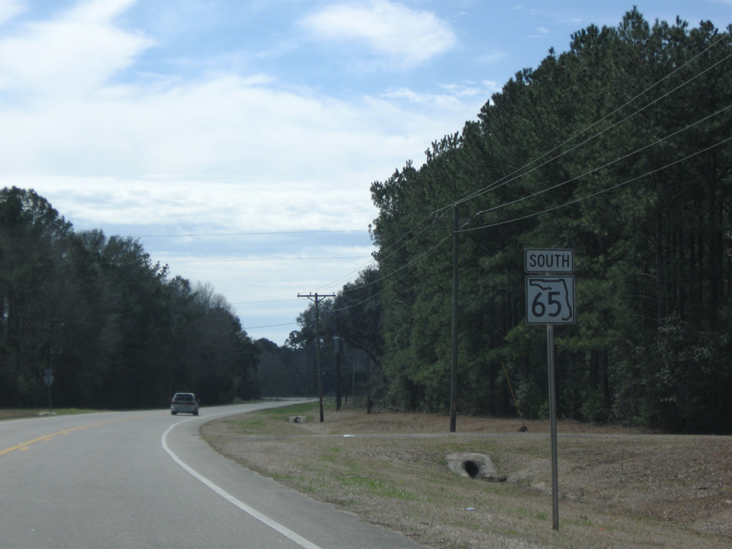
SR 65 branches south from SR 12 (Greensboro Highway) along Hosford Highway 10.59 miles to the Liberty County line.
02/21/10
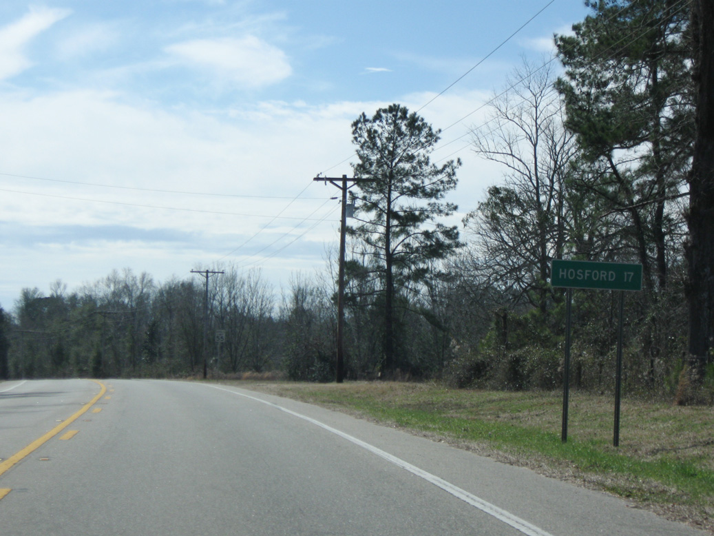
Hosford, where SR 65 meets SR 65, is a 17 mile drive south from SR 12 (Greensboro Highway).
02/21/10
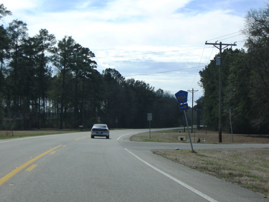
SR 65 (Hosford Highway) crosses Interstate 10 just ahead of CR 65A (Juniper Creek Road). CR 65A comprises a 8.37 mile rural loop west from SR 65.
02/21/10
Approaching the south end of CR 65A (Juniper Creek Road).
02/21/10
CR 65A (Juniper Creek Road) arcs west to CR 65D (Telogia Creek Road) and north to CR 274 (Providence Road) southeast of Greensboro.
02/21/10
Hosford Highway next meets the west end of County Road 65B (Old Federal Road).
02/21/10
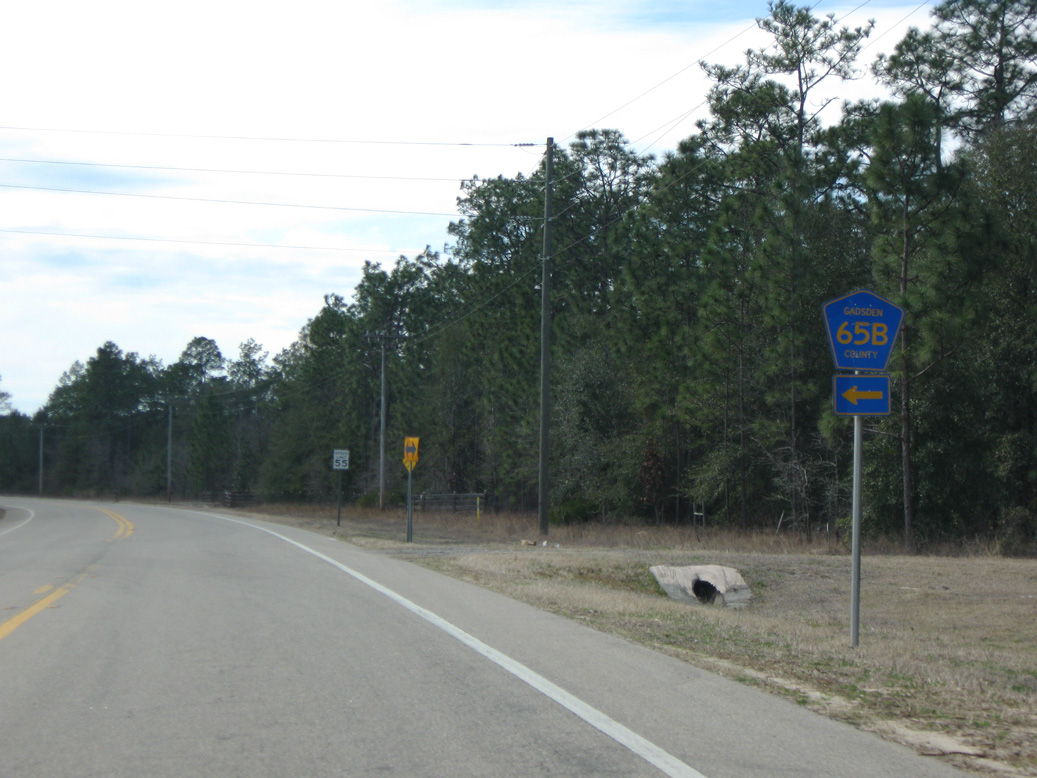
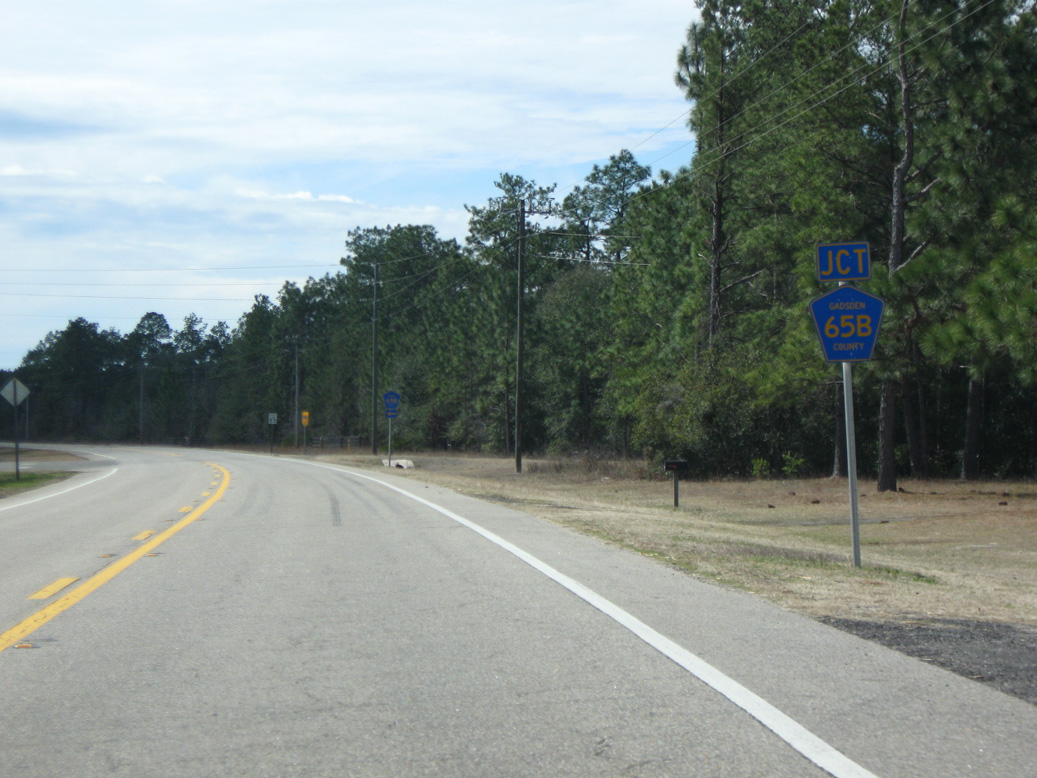
A 11.96 mile long route, CR 65B heads east to SR 267 at Wetumpka and north to CR 268 (High Bridge Road).
02/21/10
Continuing south from SR 20, SR 65 passes through the small street grid of Hosford.
01/16/16
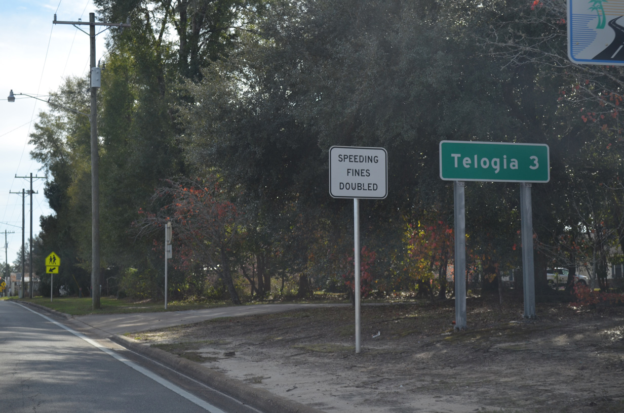
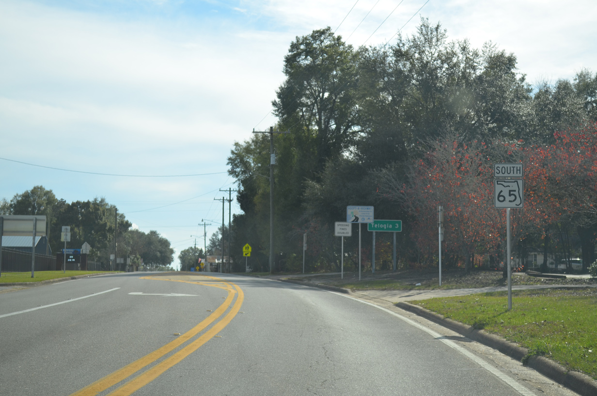
The community of Telogia is three miles south of SR 20 and Hosford along SR 65 at CR 67.
01/16/16
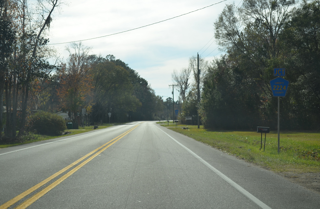
CR 2224 (Blue Creek Road) comprises a 9.60 mile long loop east from SR 65 and north to SR 20.
01/16/16
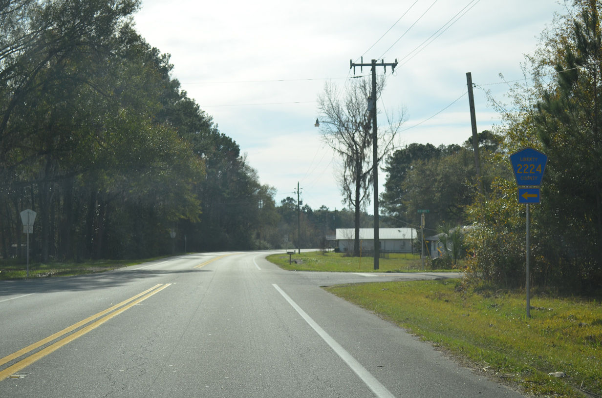
CR 2224 along Blue Creek Road and Old Blue Creek Road replaced Florida Secondary 267. SR 267 combines with SR 20 further east to Bloxham in Leon County.
01/16/16
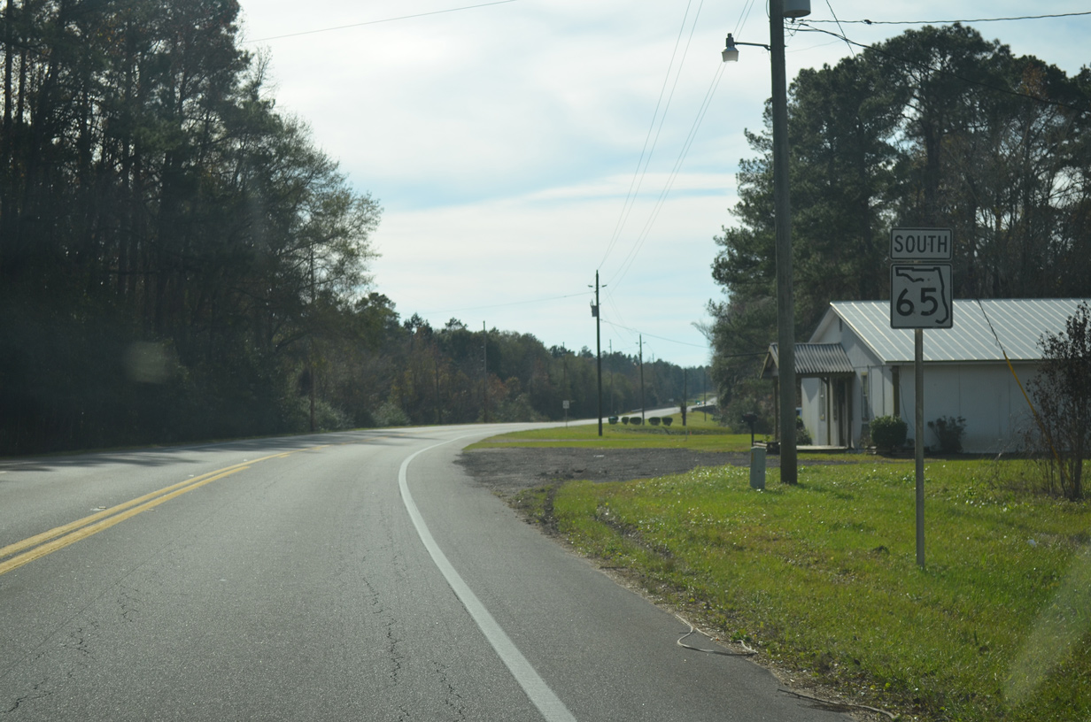
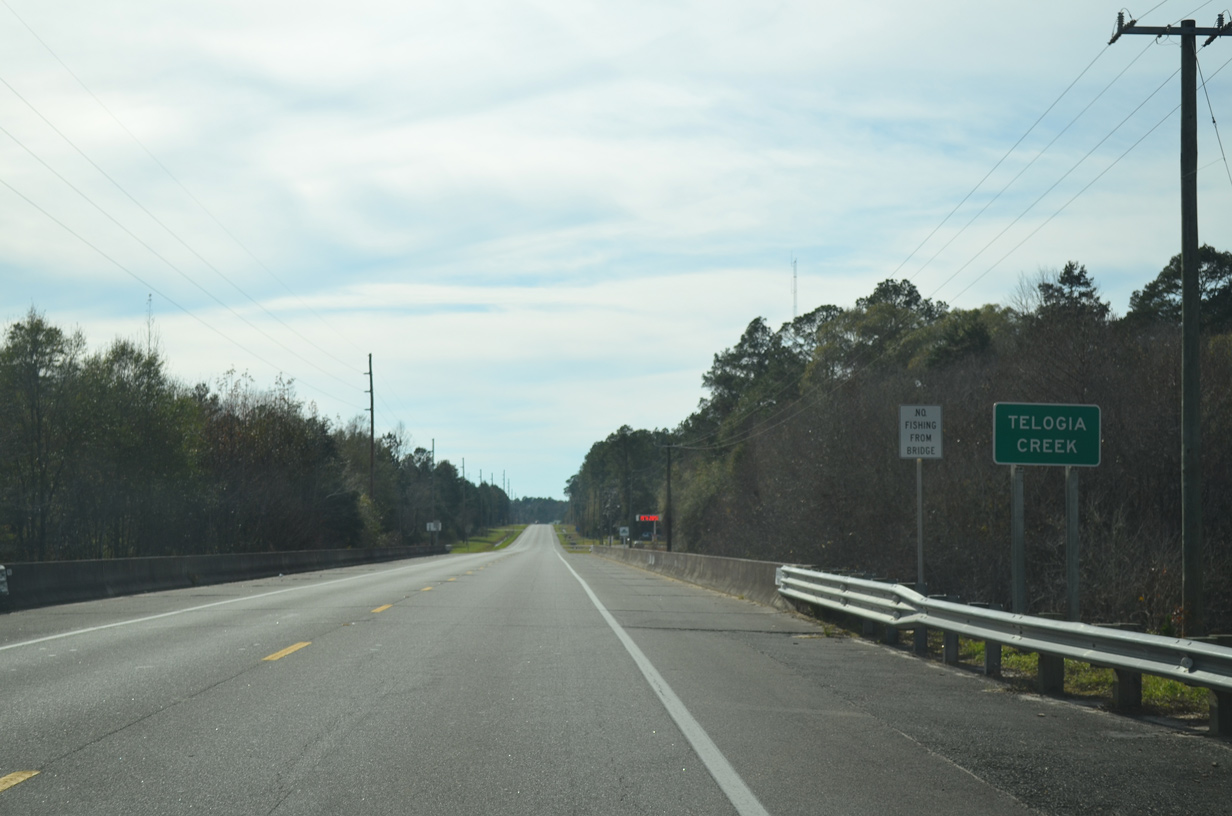
SR 65 turns more to the southwest from CR 2224 to span Telogia Creek.
01/16/16
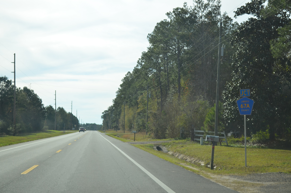
CR 67A provides a cutoff from SR 65 south of Telogia Creek to CR 65 southbound toward Carrabelle.
01/16/16
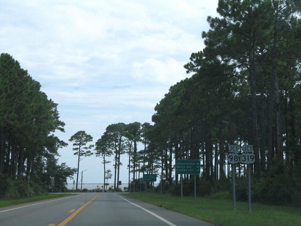
St. George Sound comes into view at the south end of SR 65.
08/03/08
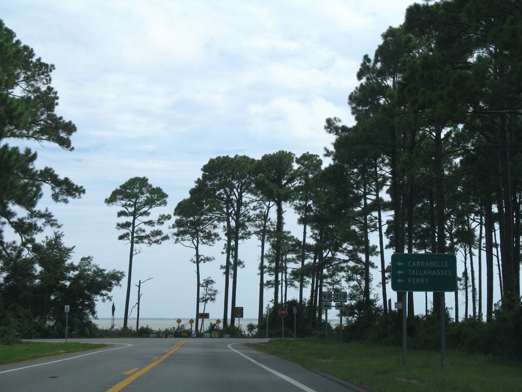
U.S. 98/319 overlap west to Eastpoint and the bridge spanning East Bay to Apalachicola and east to Carrabelle.
08/03/08
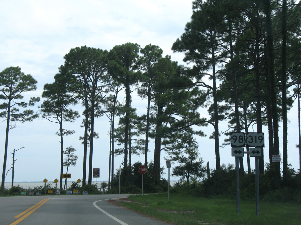
U.S. 98 straddles the shoreline around the Big Bend east into Wakulla County and west throughout the Emerald Coast to Pensacola.
08/03/08

CR 65 (N Bayshore Drive) intersects Old Ferry Dock Road just north of U.S. 98/398 at Indian Creek Public Park.
06/27/09
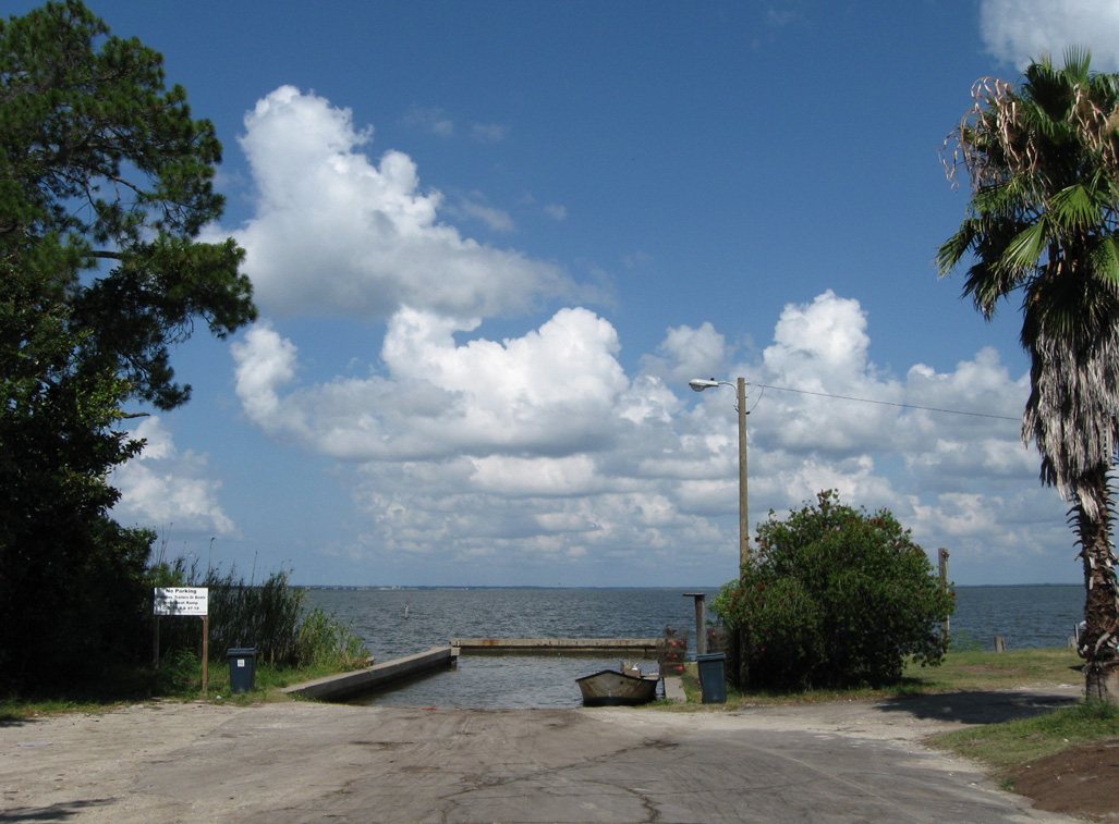
Old Ferry Dock Road spurs west from CR 65 (N Bayshore Drive) to a boat ramp on East Bay.
06/27/09
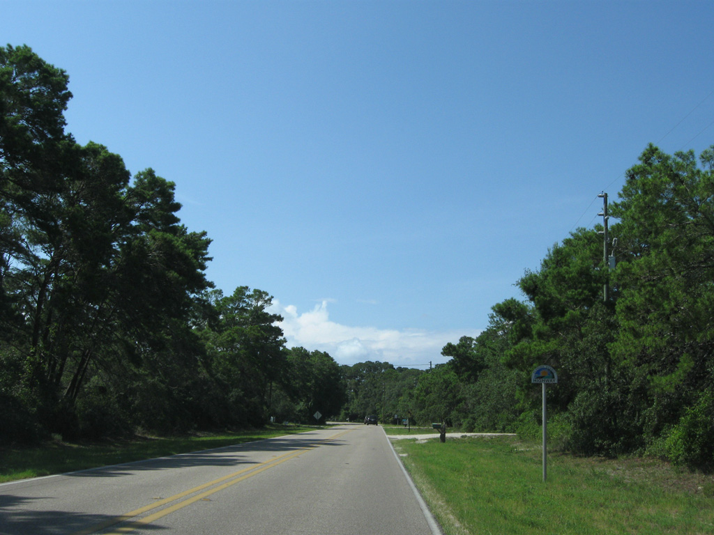
CR 65 (S Bay Shore Drive) south from U.S. 98/319 to SR 300 is part of the Big Bend Scenic Byway Coastal Trail.
06/27/09
Photo Credits:
- Alex Nitzman: 08/03/08, 11/26/14, 05/16/16
- ABRoads: 06/27/09, 01/16/16, 05/02/20
- Brent Ivy: 02/21/10, 04/10/10
- AARoads: 12/31/06
Connect with:
Page Updated Tuesday June 02, 2020.