
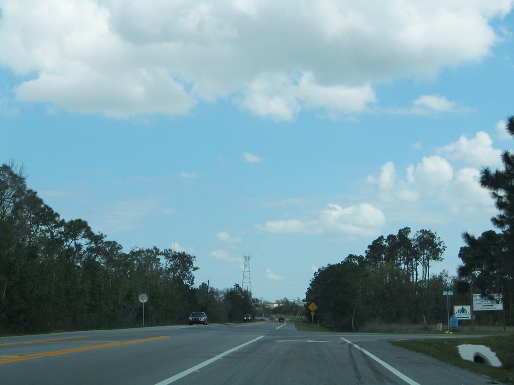
State Road 70 East - Arcadia to Okeechobee
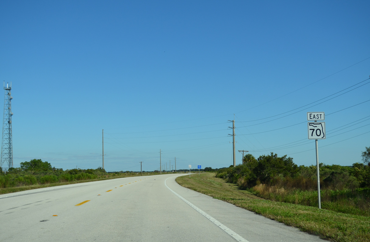
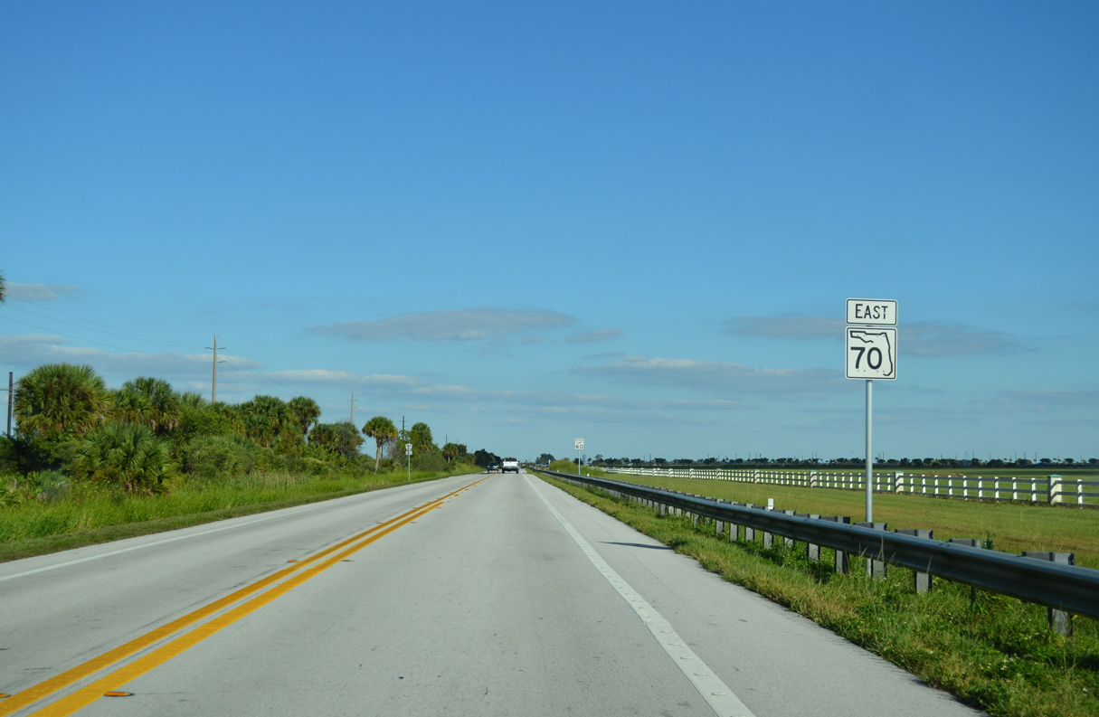
 East
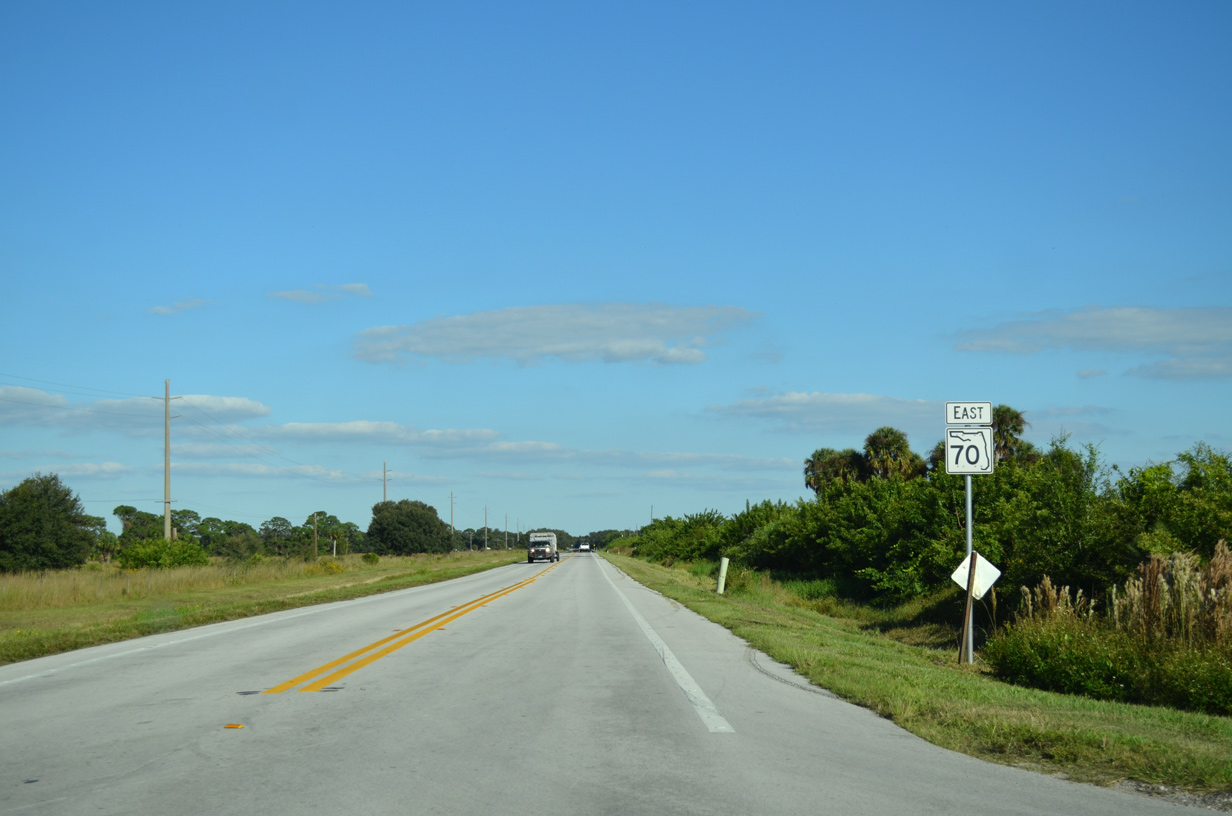
East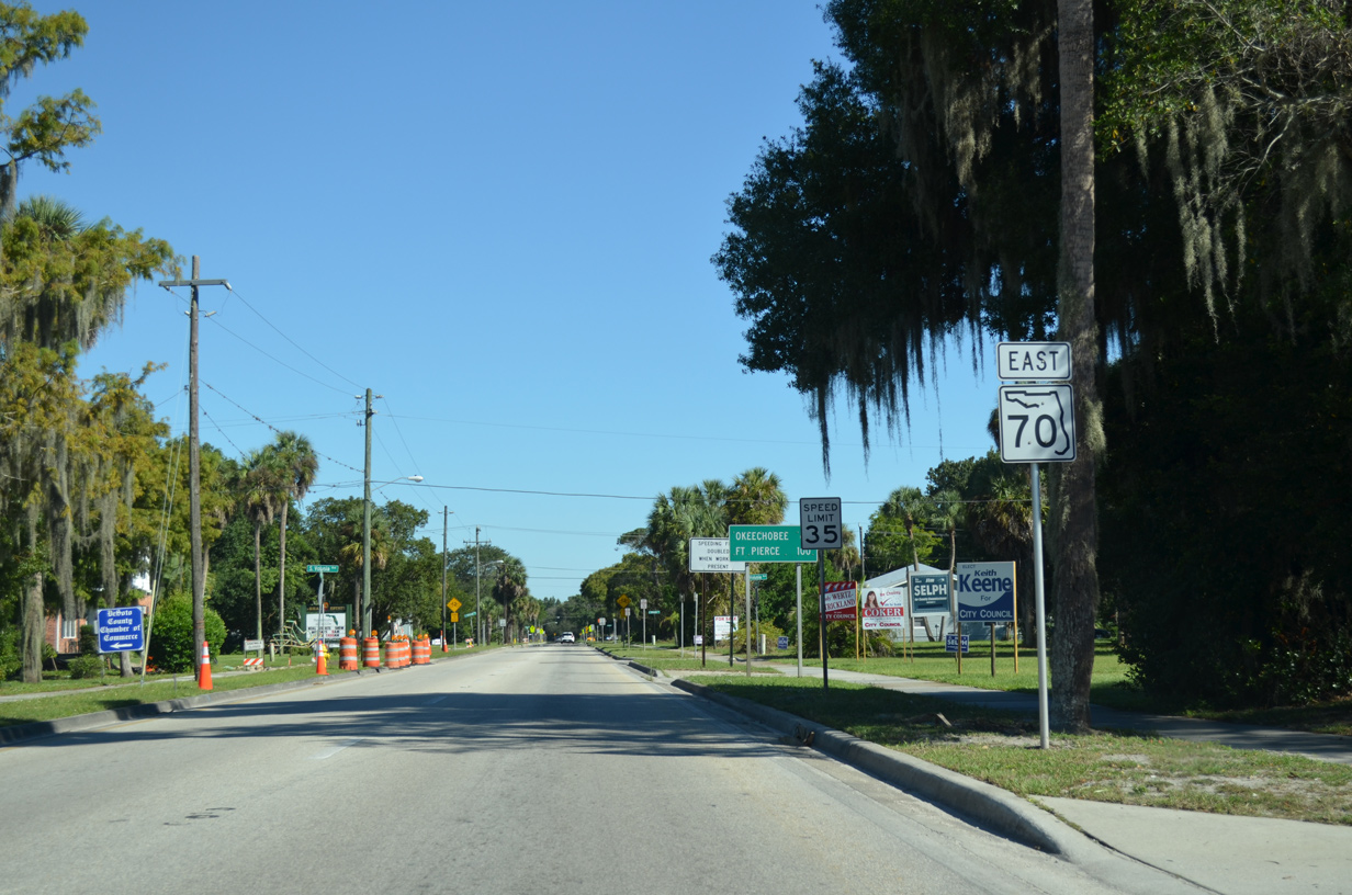
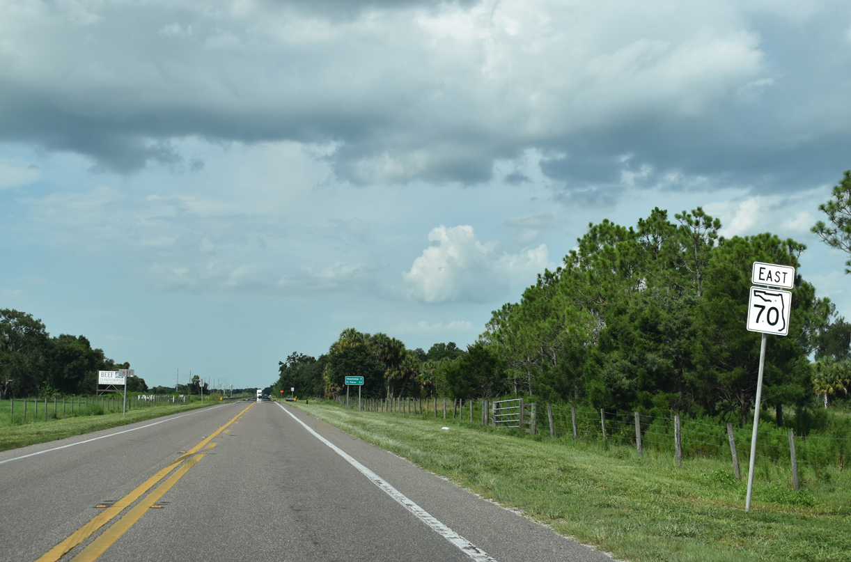
100 miles of SR 70 east to Fort Pierce remain.
10/17/14
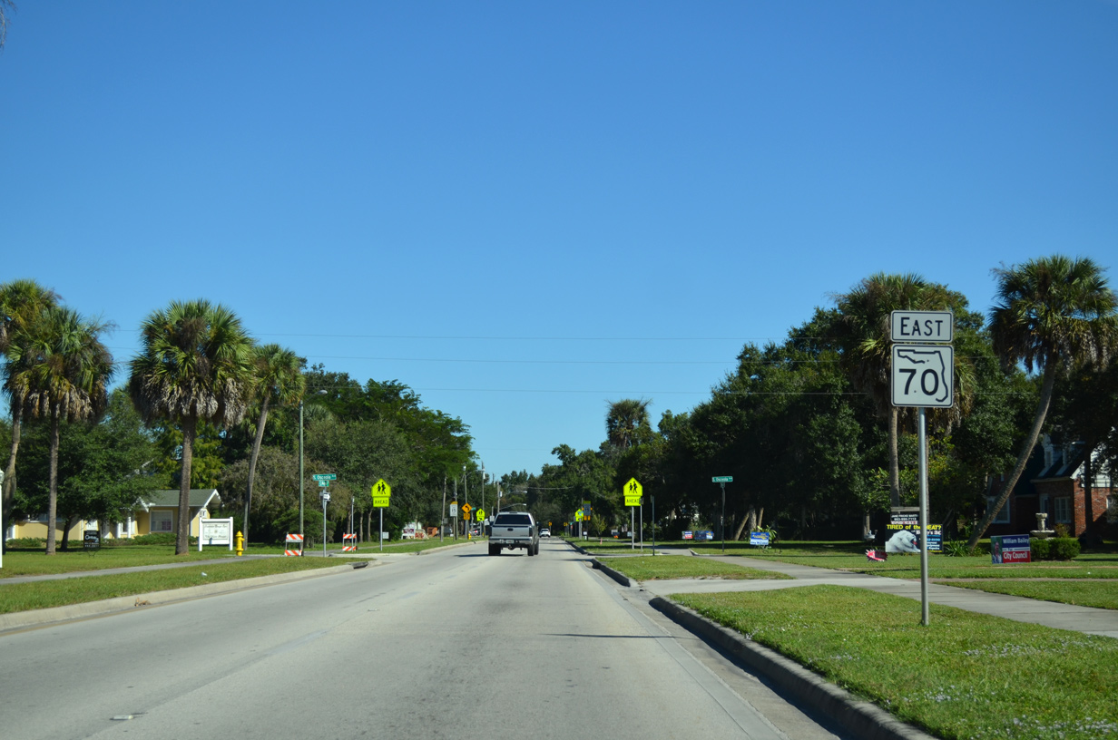
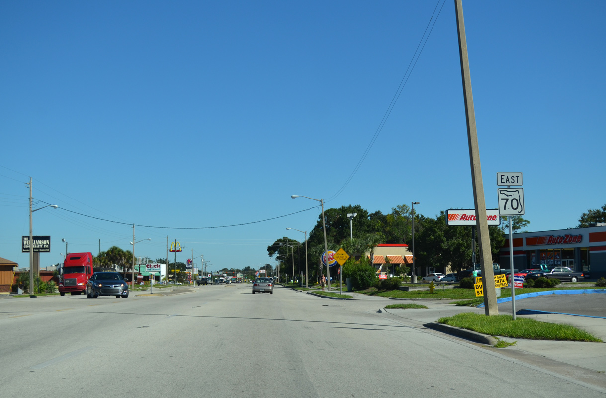
Reassurance marker posted at Magnolia Street and Osceola Avenue.
10/17/14
The separate directions of SR 70 in Arcadia recombine along Oak Street ahead of Baker Street.
10/17/14
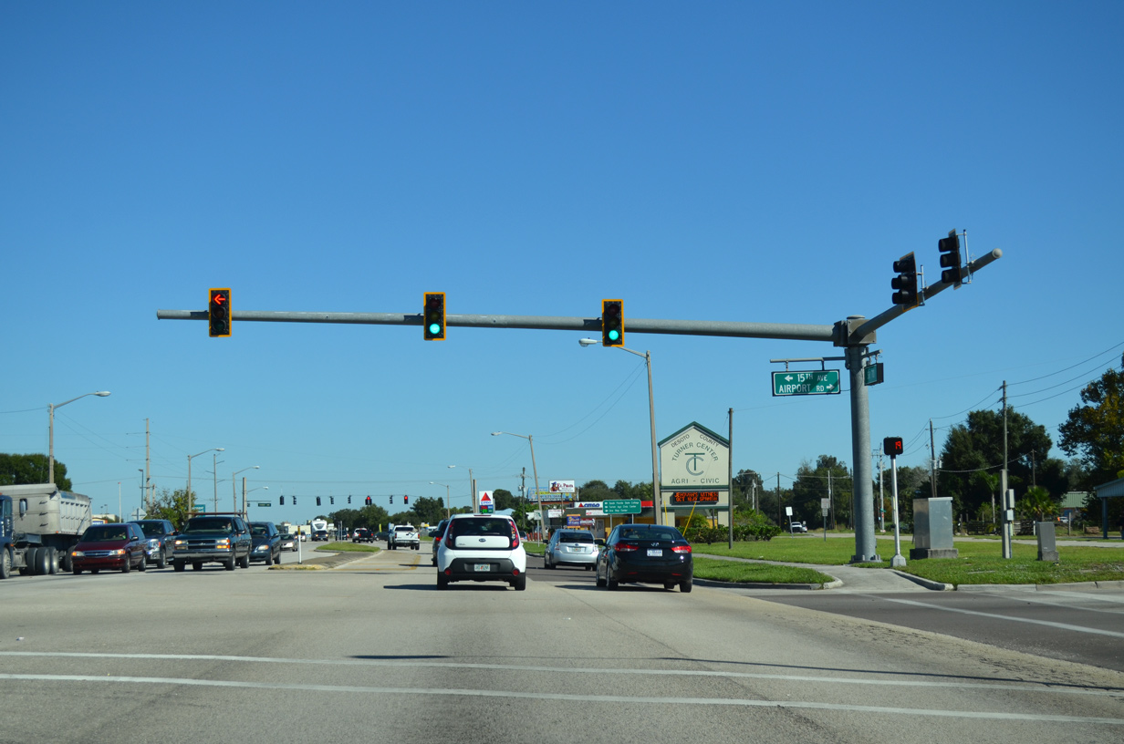
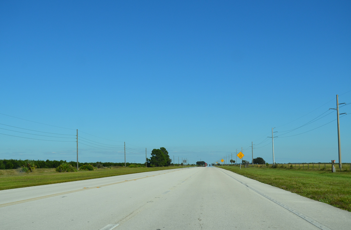
SR 70 east at 15th Avenue and Airport Road north of Arcadia Municipal Airport (X06).
10/17/14
Turner Avenue stems north from SR 70 (Oak Street) to U.S. 17 at Cubitis.
10/17/14
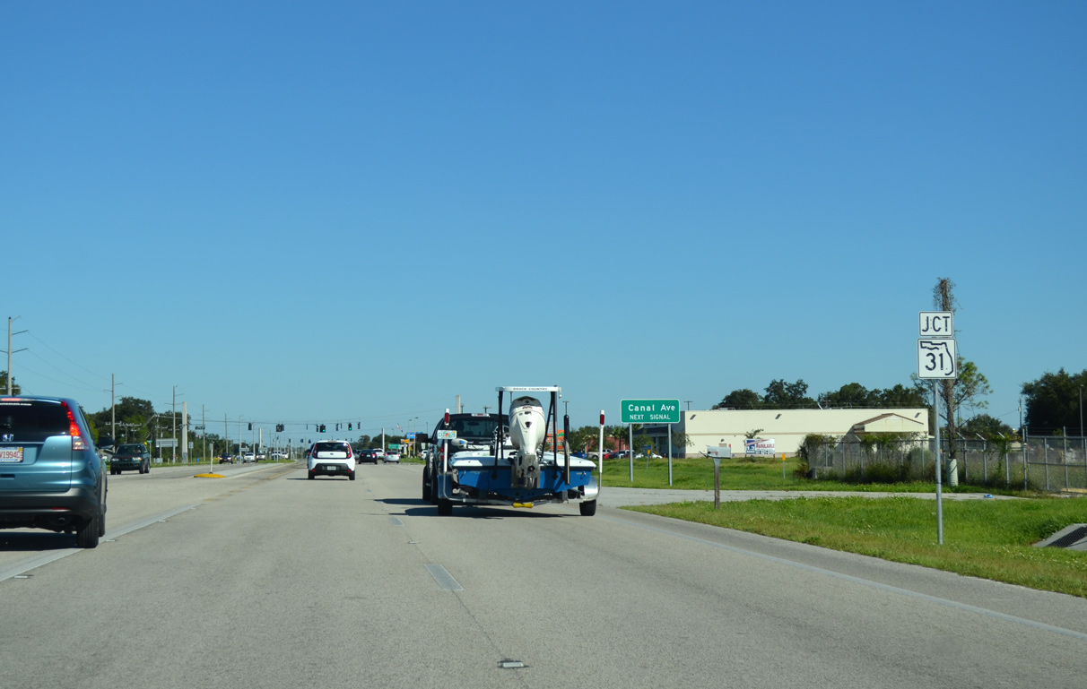
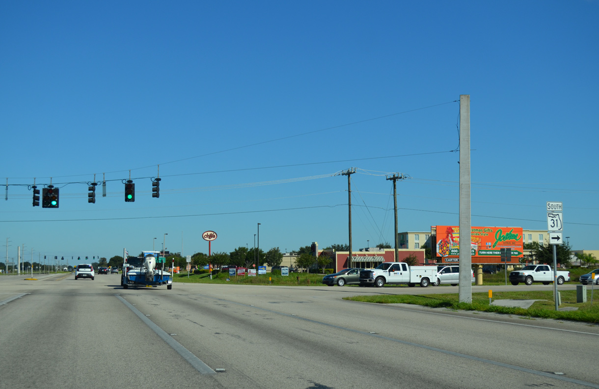
SR 70 intersects the north end of SR 31 at Canal Avenue.
10/17/14

State Road 31 runs 36 miles south to Babcock Ranch and SR 80 outside Fort Myers.
10/17/14
Four lane expansion along SR 70 at SR 31 was underway in 2009-10.
10/17/14
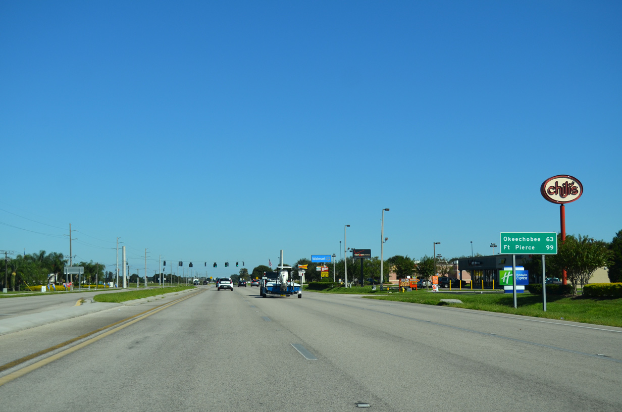
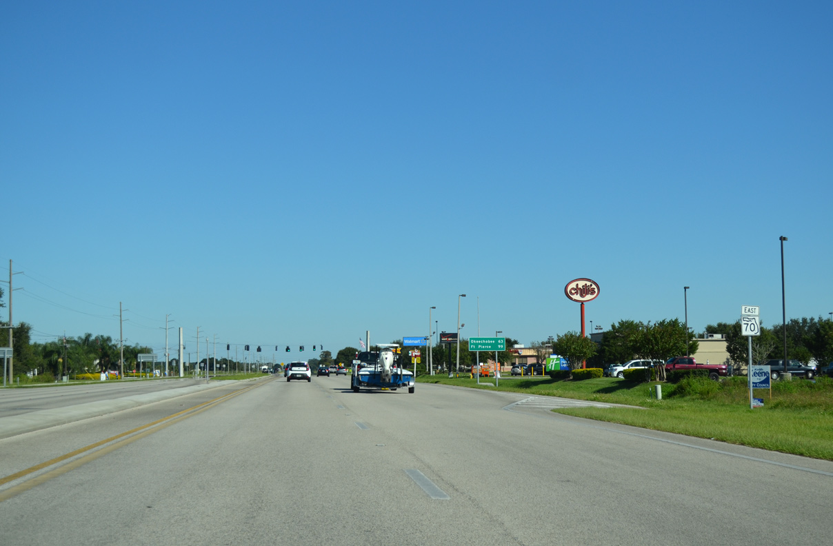
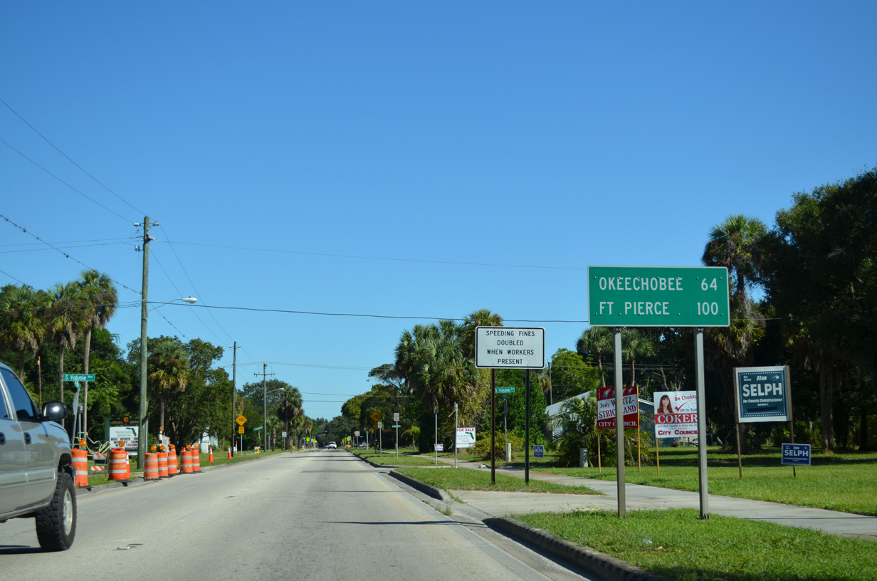
Okeechobee, seat of Okeechobee County, is 63 miles east of SR 31 on SR 70.
10/17/14

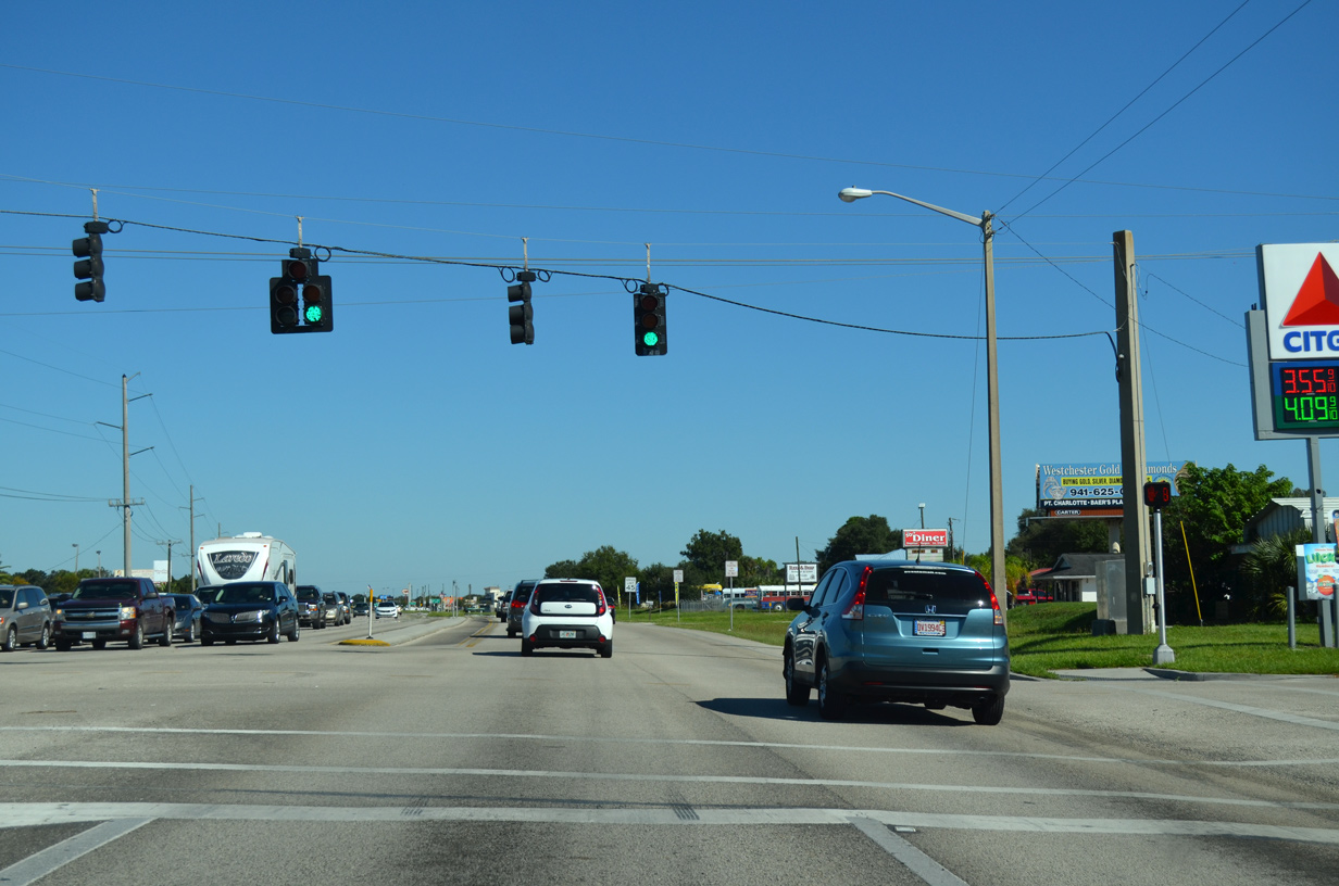
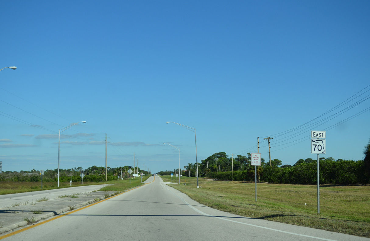
Siesta Boulevard ties into SR 70 across from a big box retail center.
10/17/14
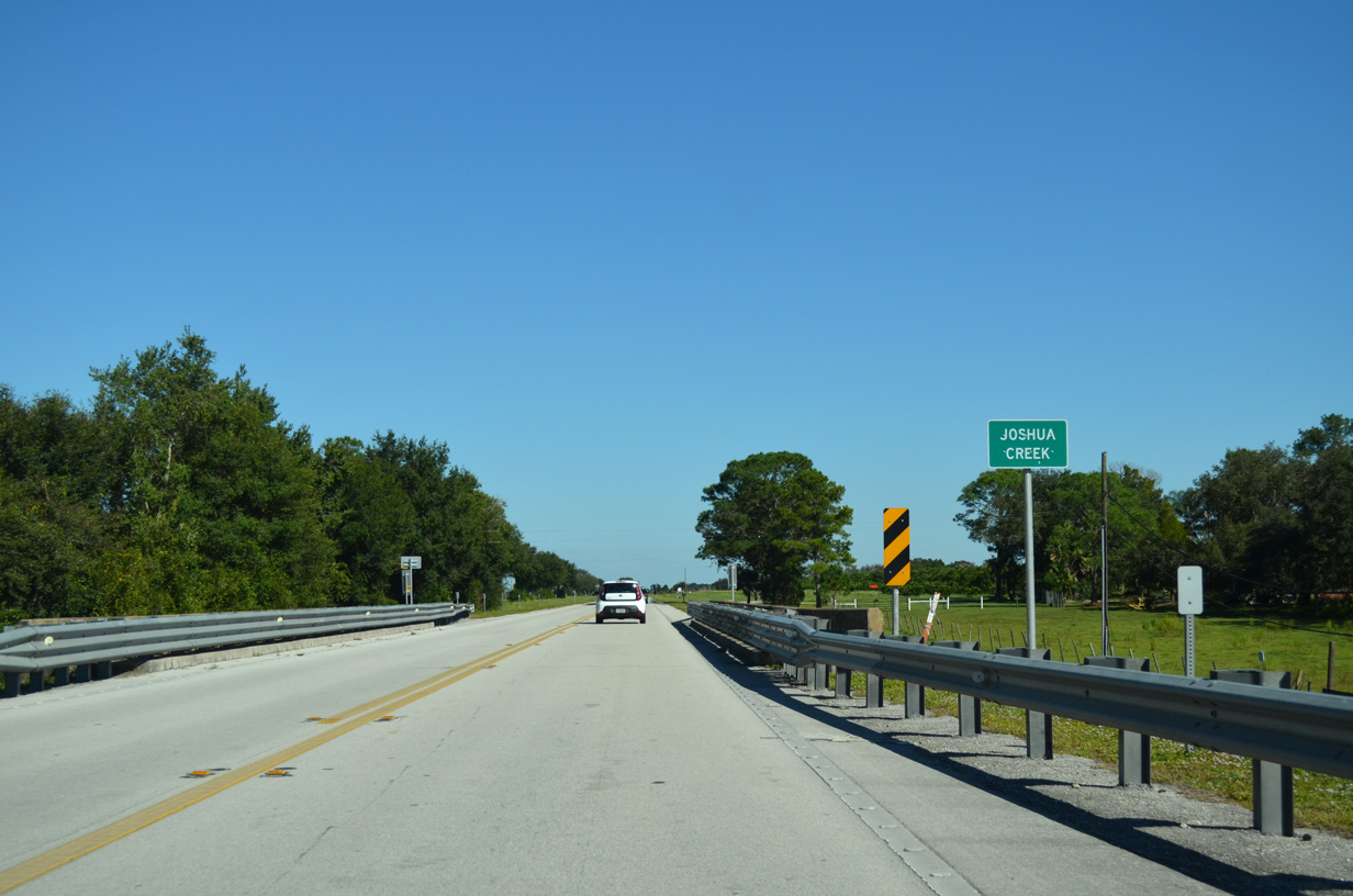
Spanning Joshua Creek, 6.6 miles east of Downtown Arcadia.
10/17/14
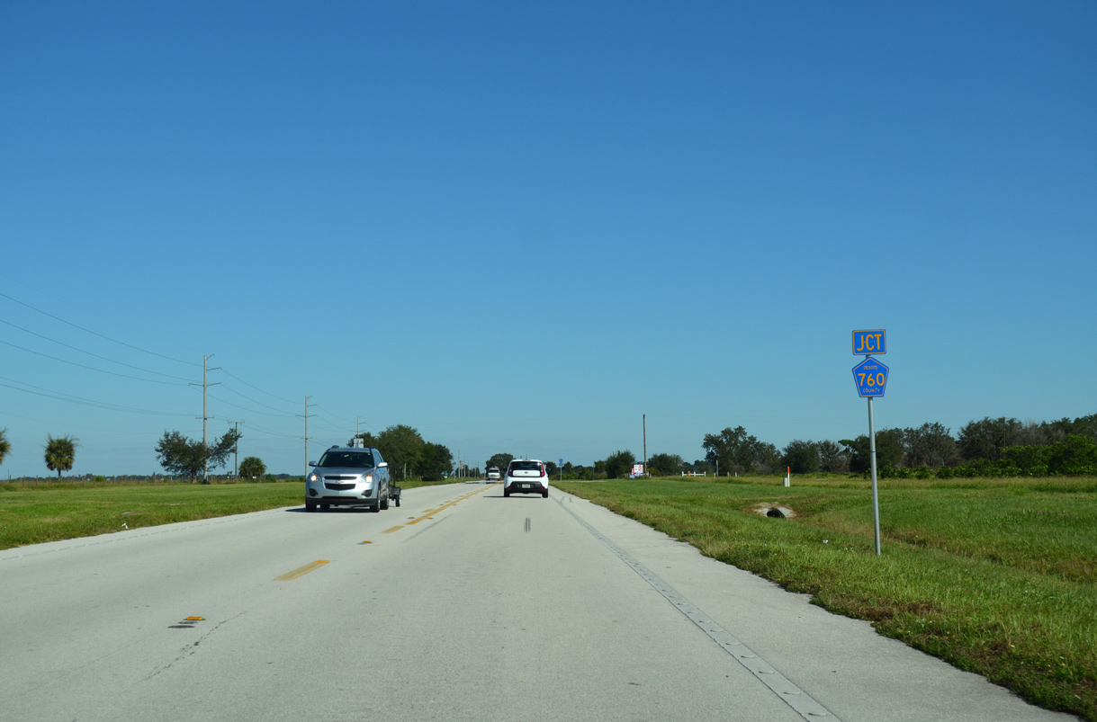
The eastern segment of Desoto County Road 760 concludes at SR 70 east of Joshua Creek.
10/17/14
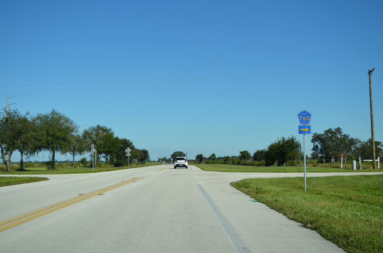
CR 760 loops 6.32 miles southwest along Joshua Creek from SR 70 to SR 31.
10/17/14
SR 70 east at the Desoto Correctional Institution.
10/17/14
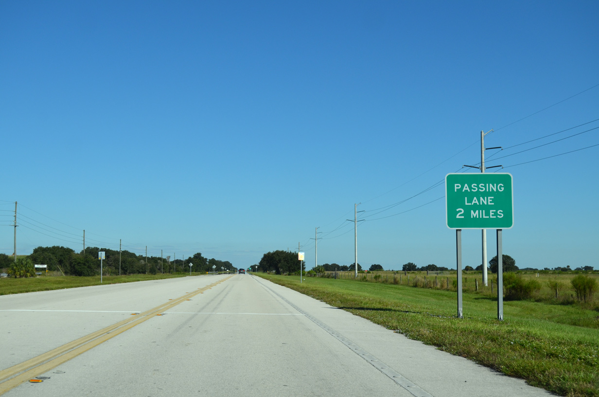
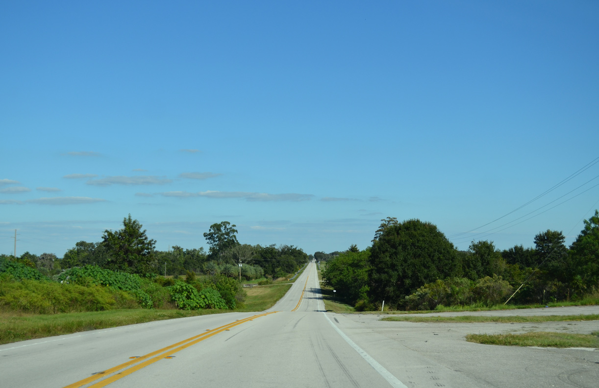
Continuing by Desoto Landfall, SR 70 bee lines two miles to an eastbound passing lane.
10/17/14
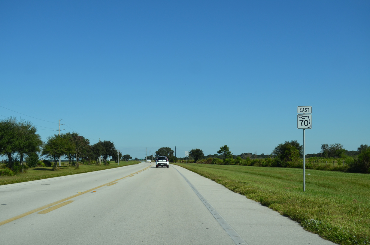
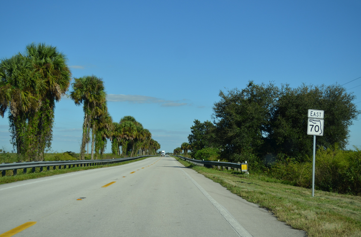
The passing lane ends ahead of this shield assembly posted near the Highlands County line.
10/17/14
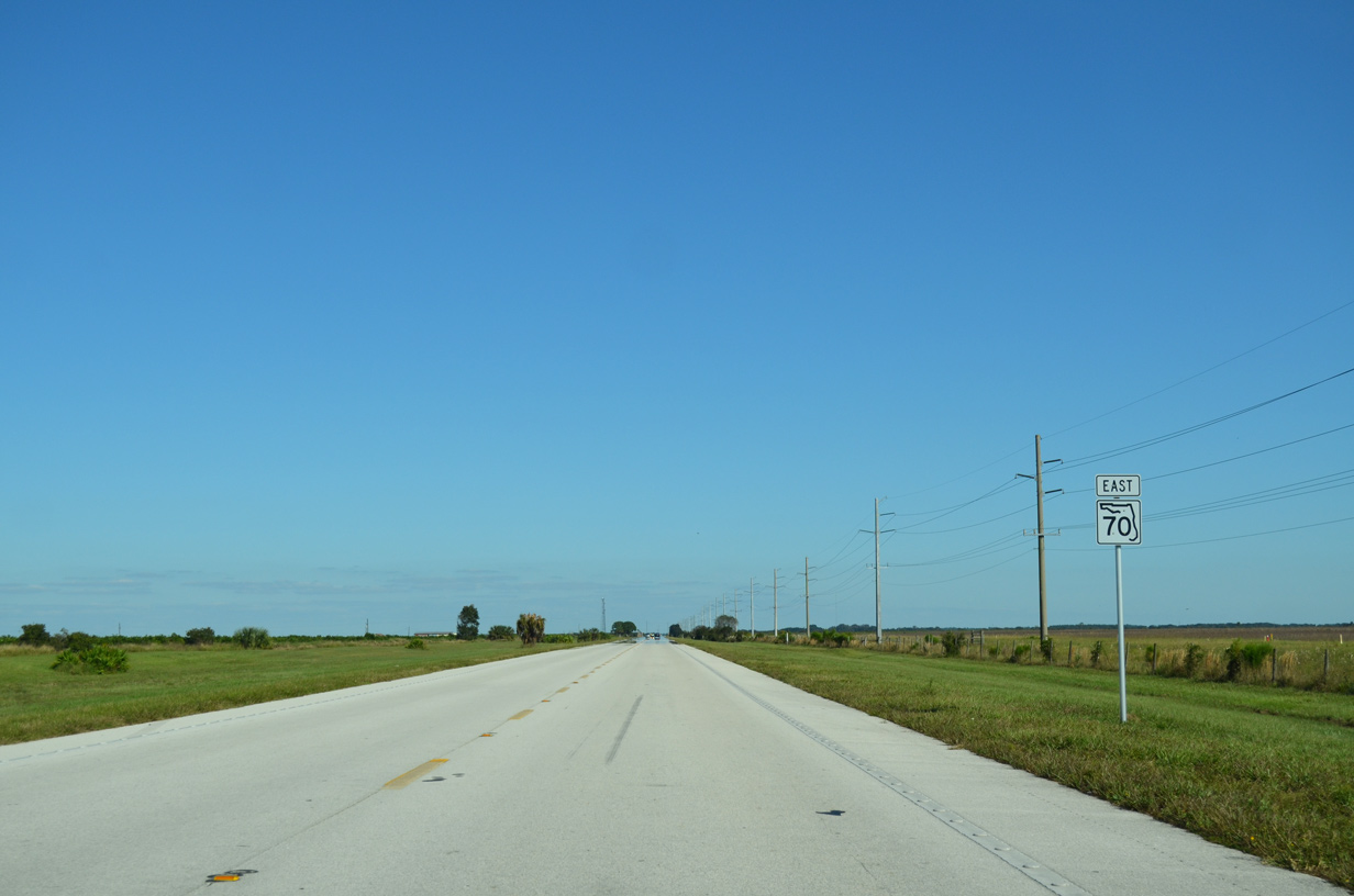
SR 70 travels 36.33 miles across Highlands County.
10/17/14
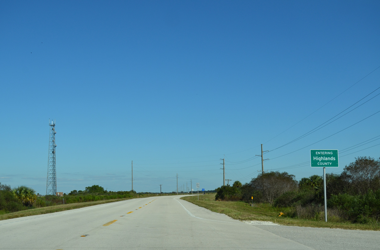
SR 70 shifts slightly southward from the DeSoto County line at Blue Head Ranch.
10/17/14
SR 70 rises 50 feet to 141 feet above sea level along the eastbound stretch at Carlton Ranch in western Highlands County.
10/17/14
Placid Lakes Boulevard winds northward from SR 70 to the Placid Lakes community ahead of this reassurance marker.
10/17/14
SR 70 crosses the South Central Florida Railroad ahead of the staggered intersection with Old State Road 8. Old SR 8 (CR 17) parallels the line northward to U.S. 27 by Lake Placid.
10/17/14
Old SR 8 (CR 17) continues south from SR 70 at Childs to Archbold, Hicoria and CR 731 near Venus.
03/12/06
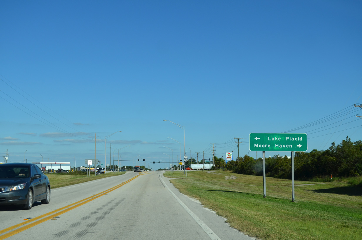
U.S. 27 crosses paths with SR 70 south of the town of Lake Placid and northwest of the Glades County seat of Moore Haven.
10/17/14
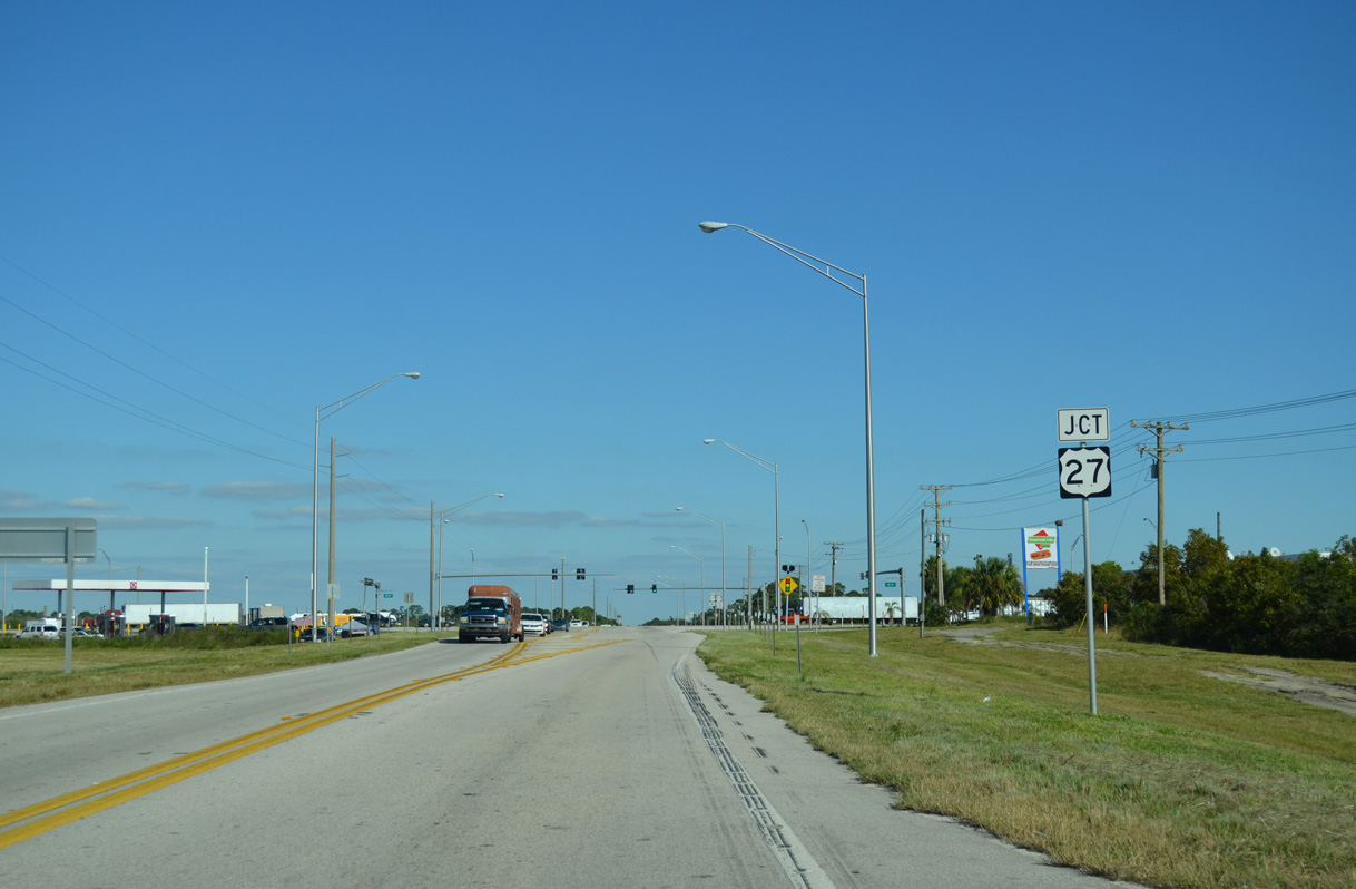
SR 70 meets U.S. 27 at a rural intersection at Bairs Den.
10/17/14
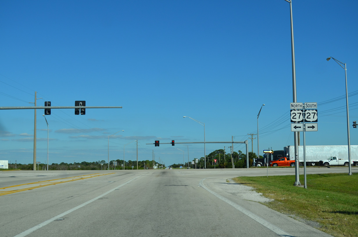
U.S. 27 constitutes a four lane corridor from South Florida and Lake Okeechobee northward to the Orlando metropolitan area. The highway is generally rural south of SR 70 and more urban northward through Lake Placid, Sebring and Avon Park.
10/17/14
Continuing from U.S. 27, SR 70 passes by the Sunshine RV Resort ahead of a residential street grid and several orange groves.
10/17/14
SR 70 lowers across the bluff line to 50 feet above sea level at Bear Hollow. The state road drops 85 feet in elevation from U.S. 27 at Bairs Den.
10/17/14
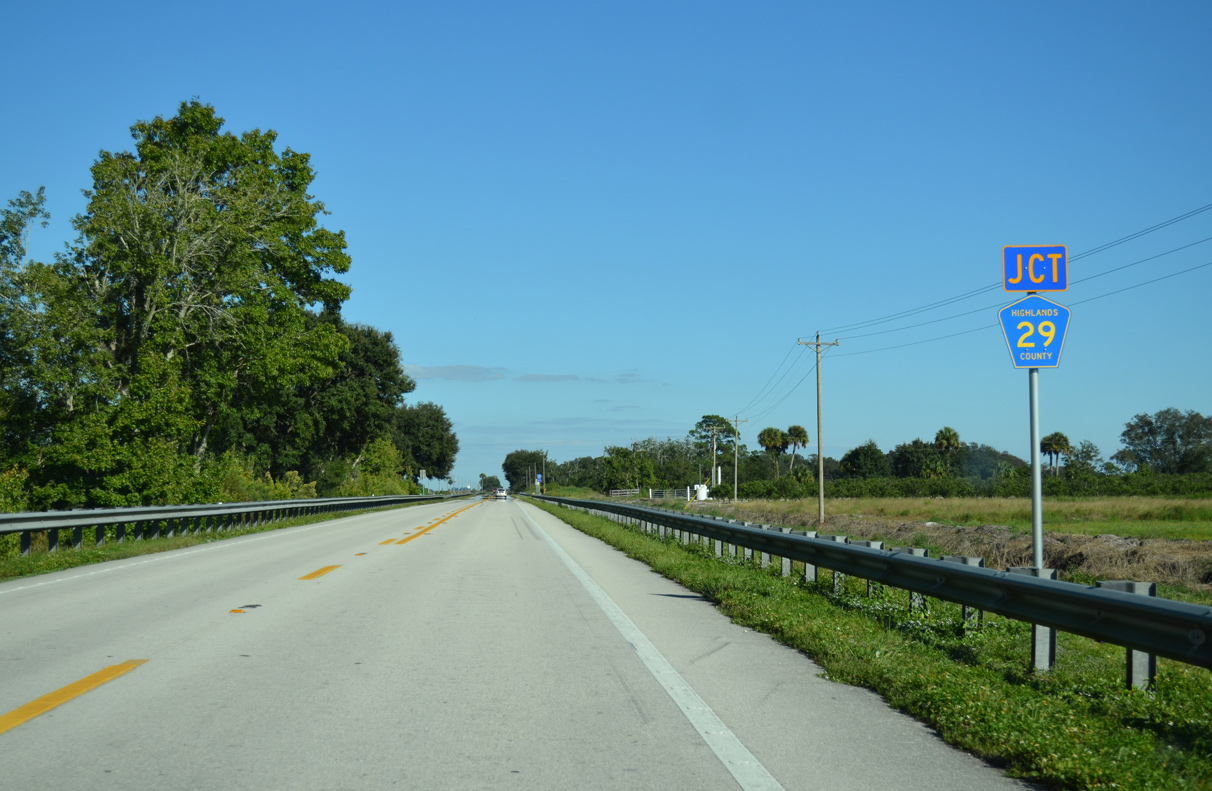
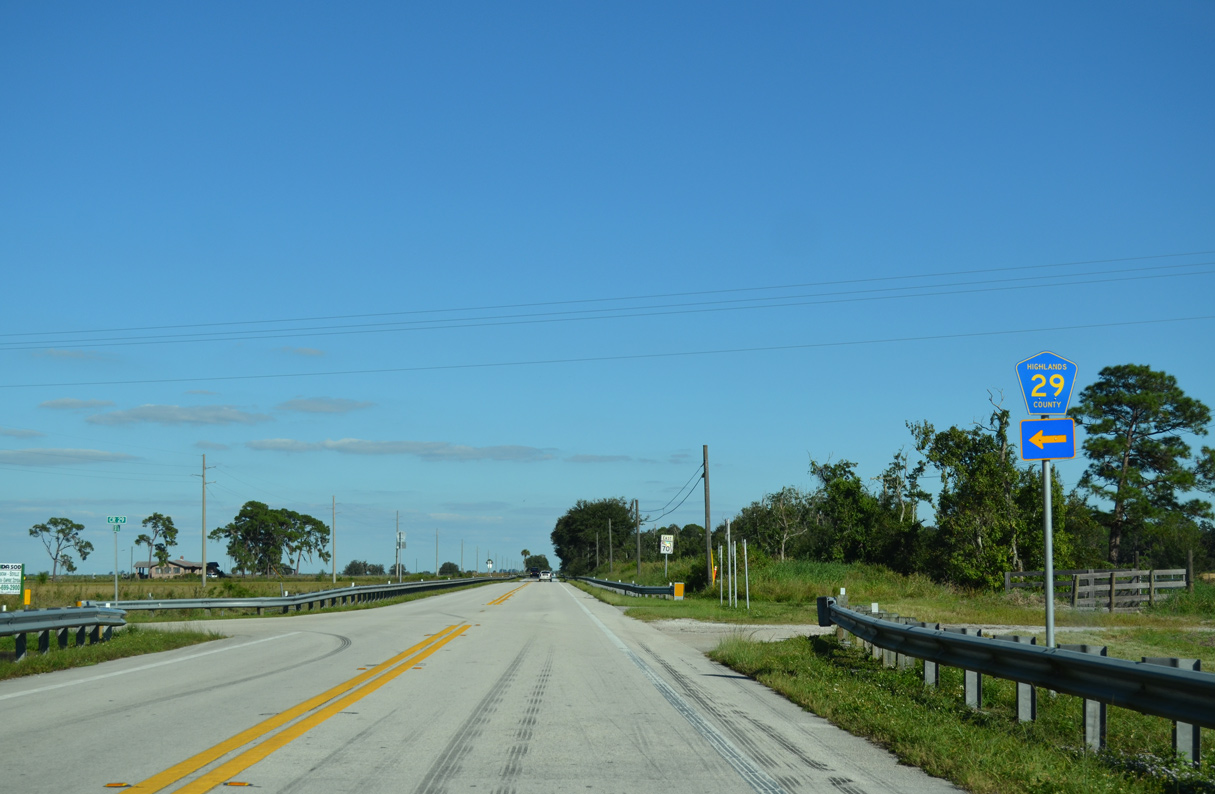
County Road 29 loops 7.55 miles north from SR 70 to CR 619 at Parker Island and west to U.S. 27 at Lake Placid.
10/17/14
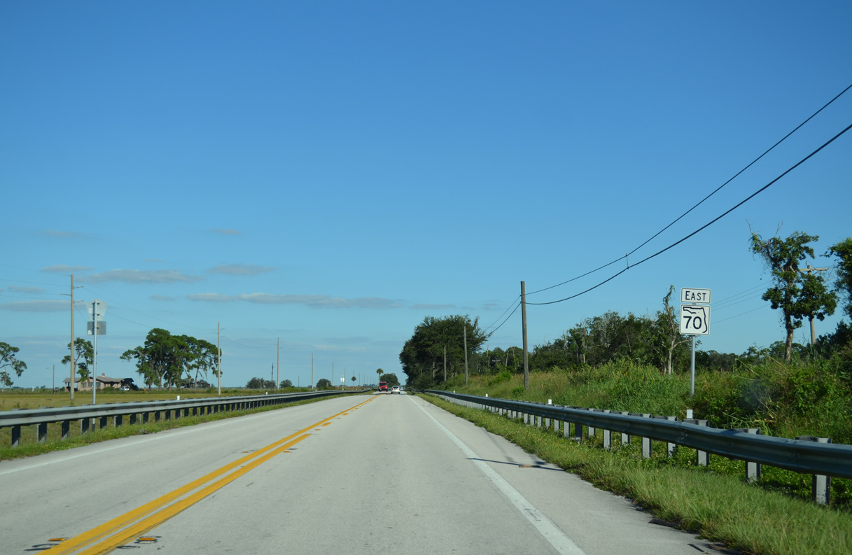
Confirming marker posted east of CR 29 and Bear Hollow.
10/17/14
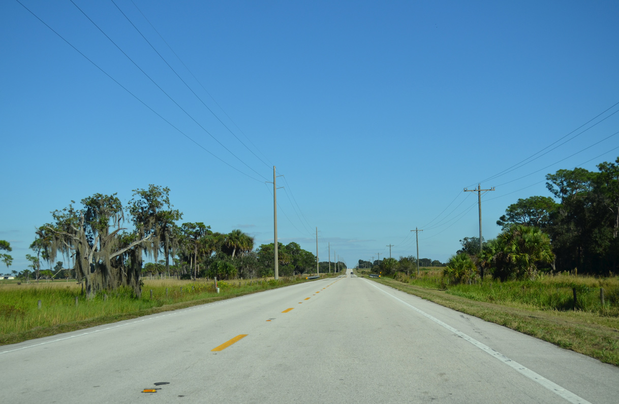
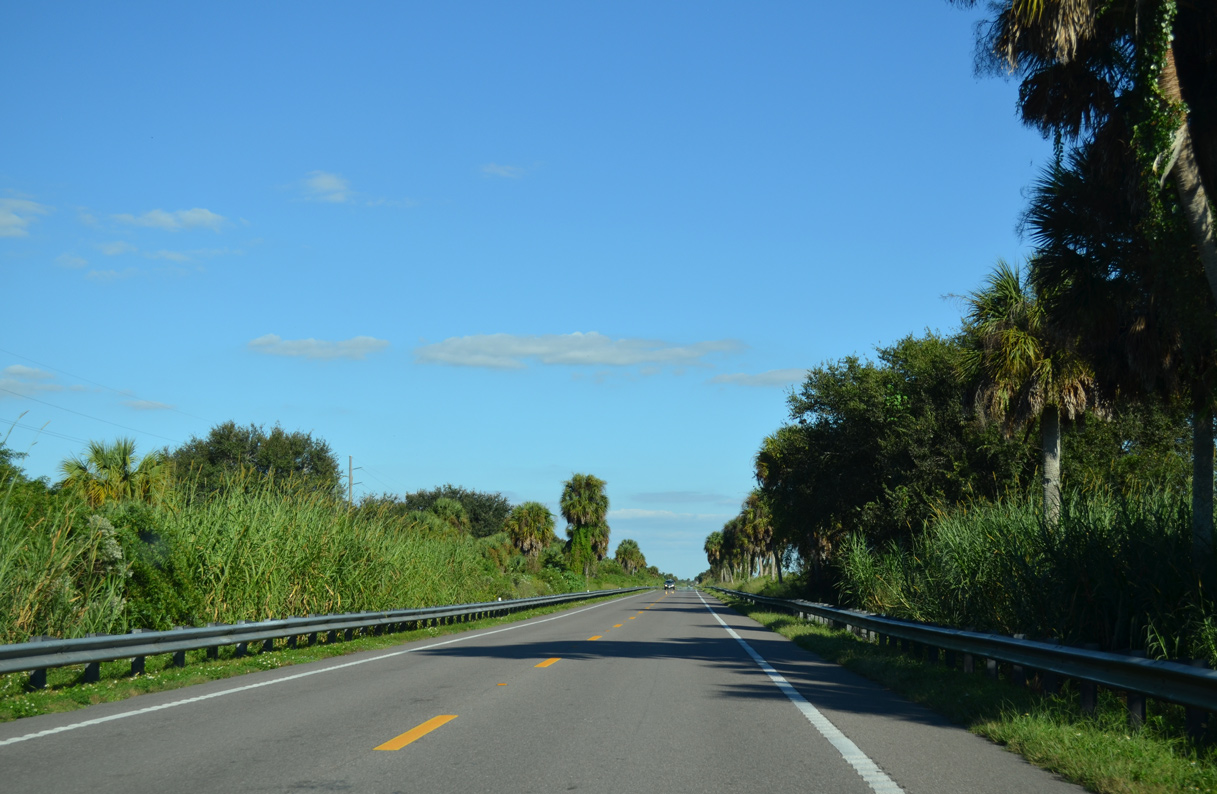
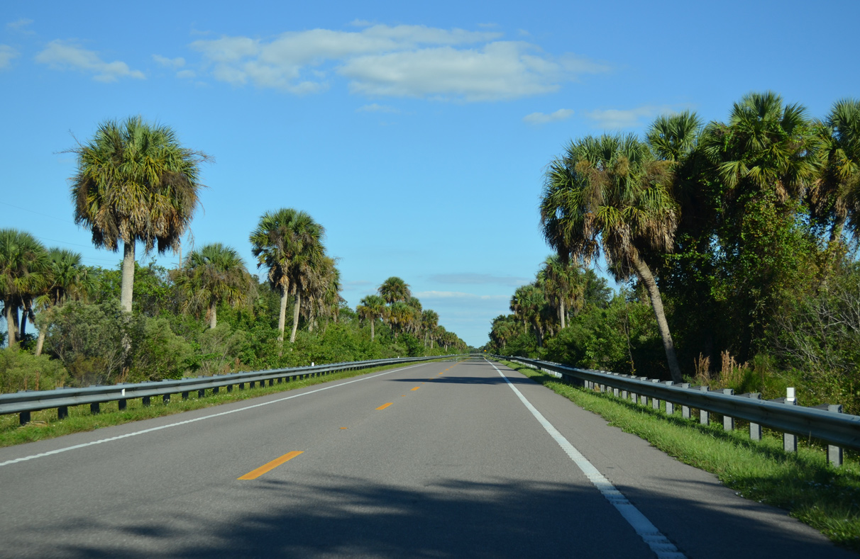
SR 70 runs along a levee system across agricultural and ranchland across eastern Highlands County. A reassurance marker appears at J.C. Durance Road.
10/17/14
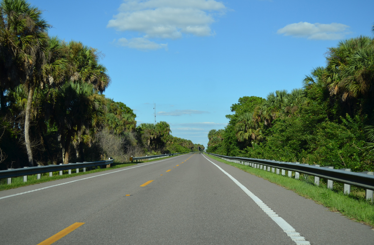
SR 70 parallels C-39A Canal east from C-41 Canal to Indian Prairie / C-40 Canal and the Glades County line along a narrow causeway.
10/17/14
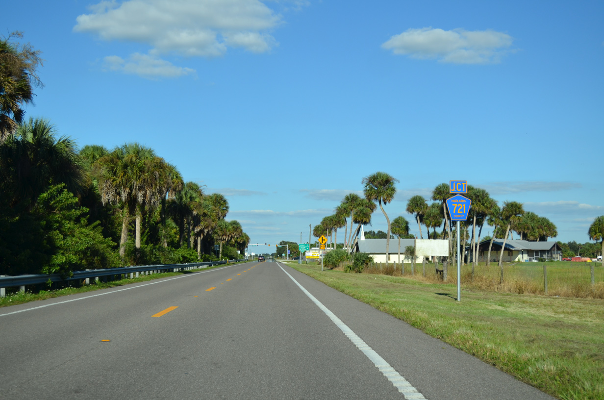
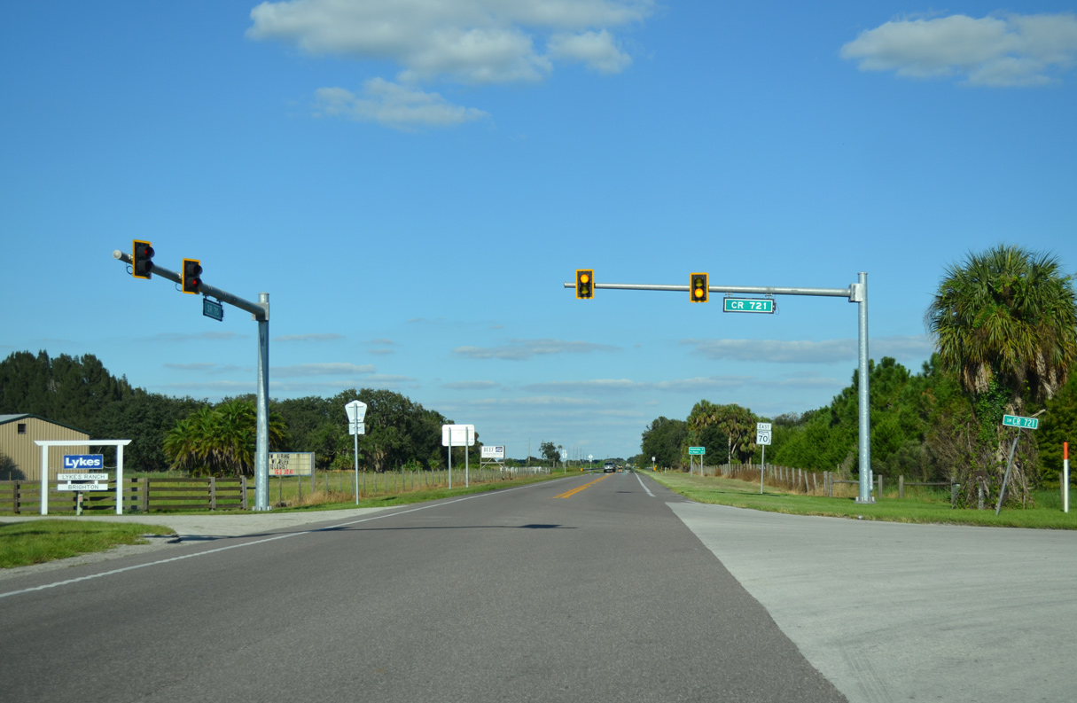
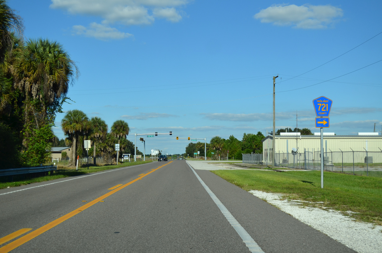
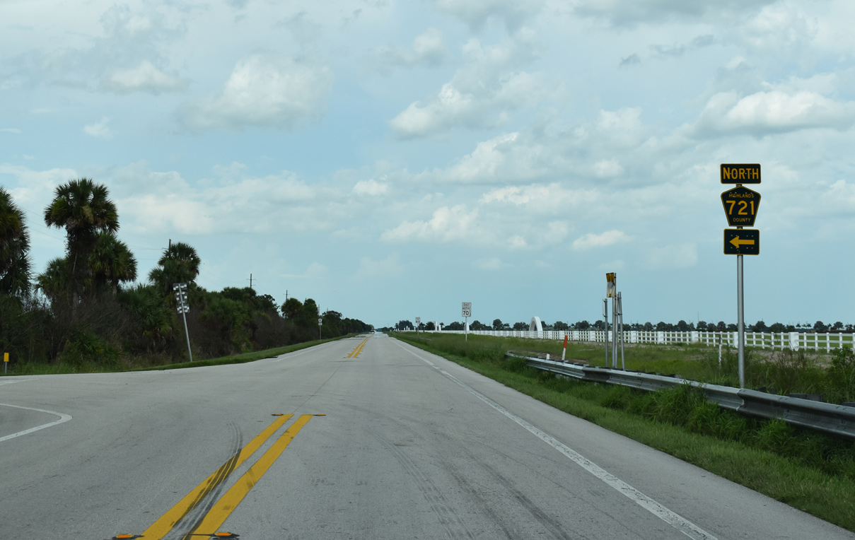
SR 70 shifts 1.75 miles northward from the Glades County line, meeting CR 721 south midway along the two mile stretch.
10/17/14
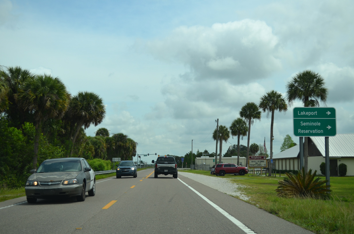
The central branch of County Road 721 travels south from SR 70 through the Brighton Indian Reservation to SR 78 near Lakeport.
04/15/16
10/17/14
County Road 721 connects with SR 78 at Big Bear Beach along Lake Okeechobee in 8.29 miles.
10/17/14
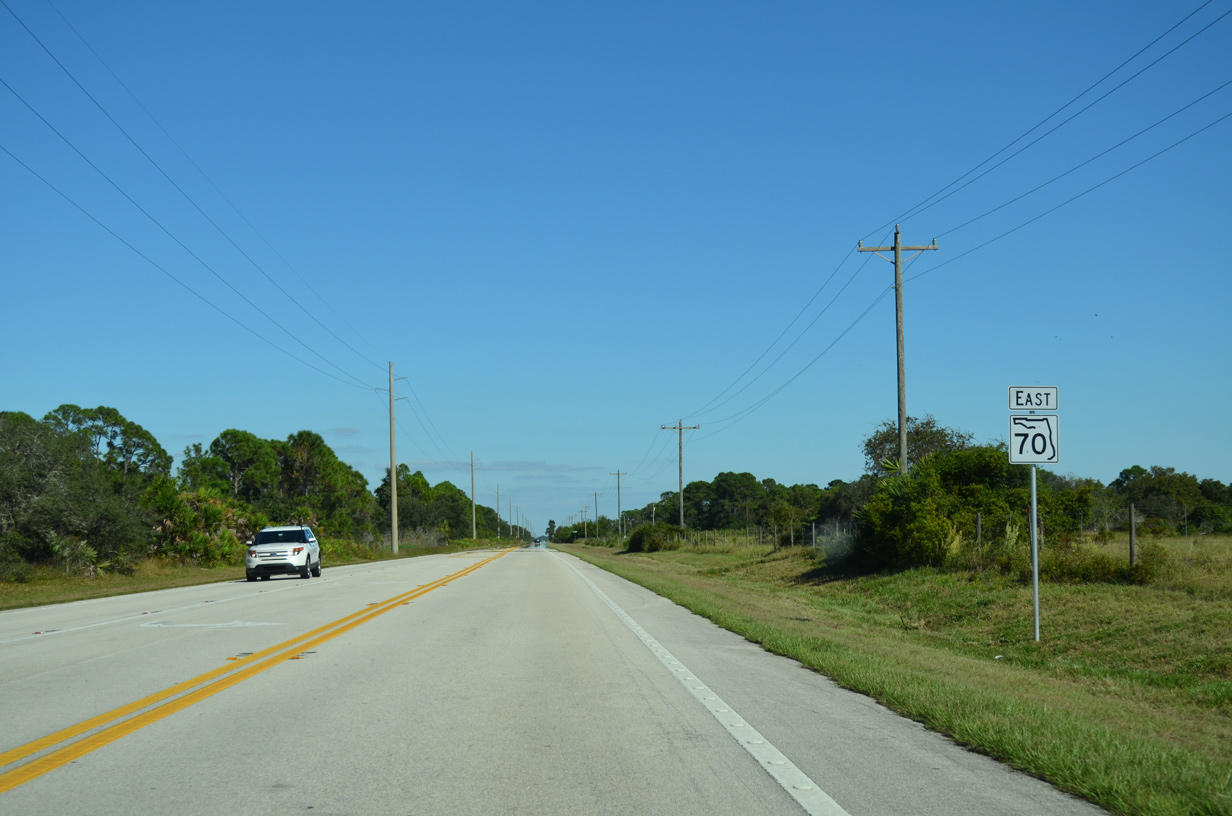
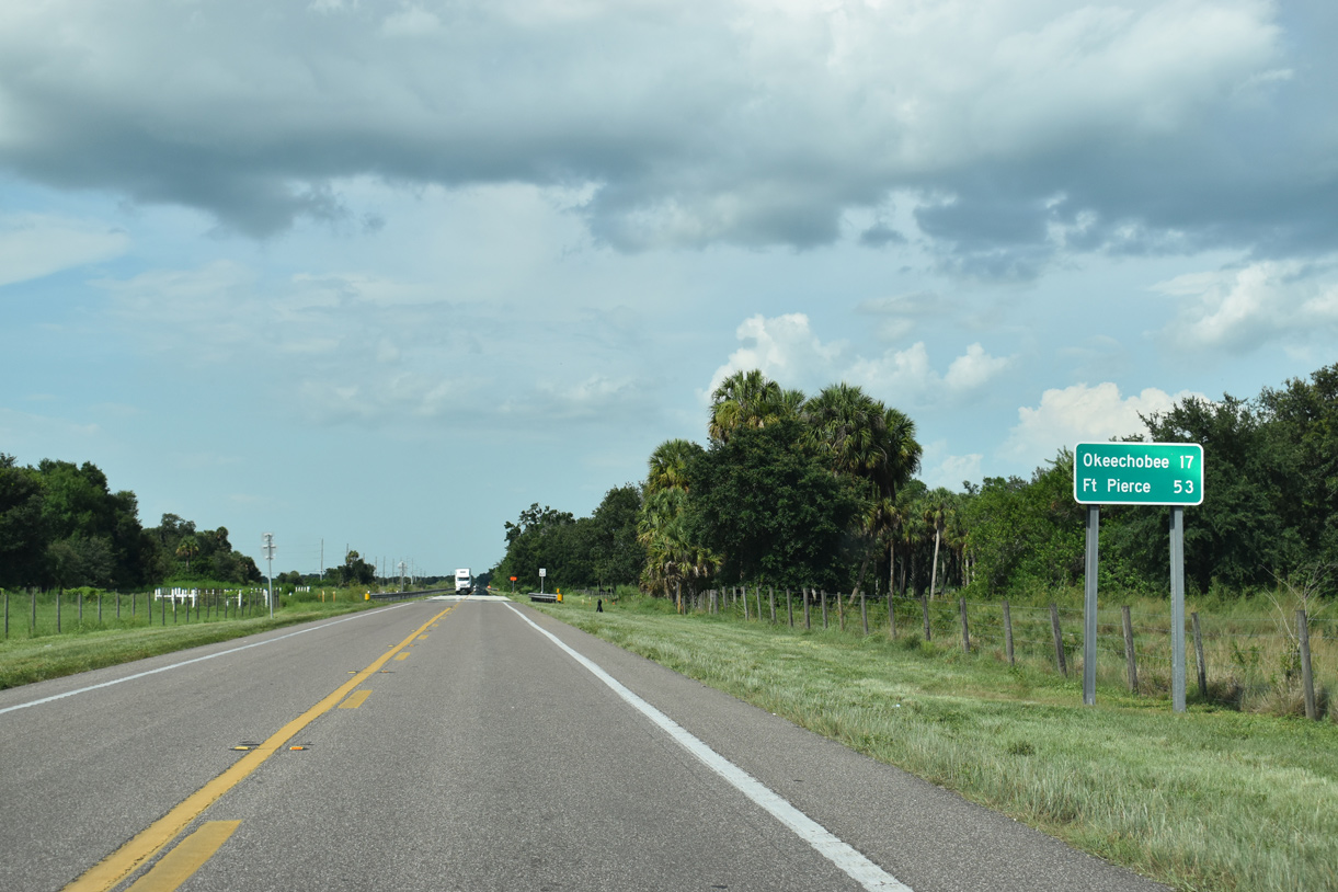
Heading east from the CR 721 at Brighton, SR 70 reaches Okeechobee in 17 miles and Fort Pierce in 53 miles.
07/02/19
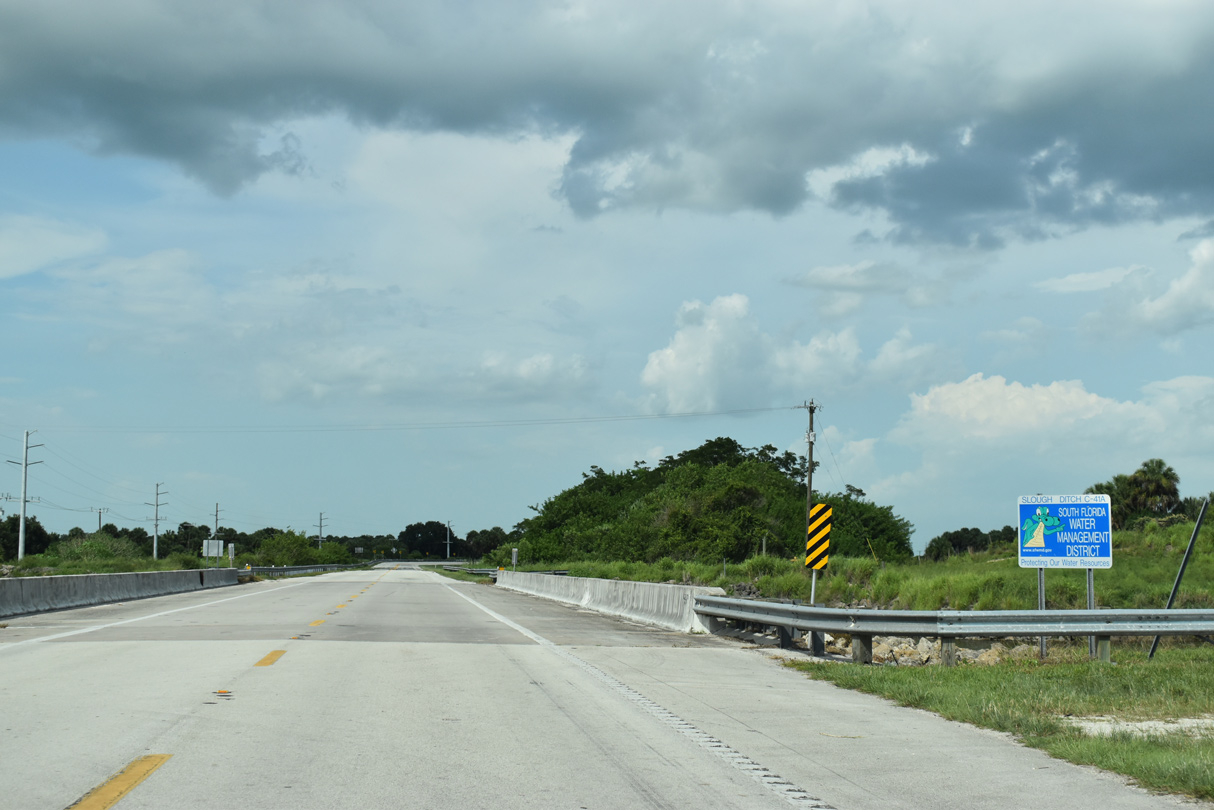
SR 70 crossing Slough Ditch (Canal C-41A).
07/02/19
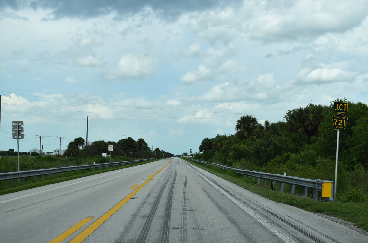
SR 70 resumes a due east course beyond Canal C-41A and ahead of the north branch of County Road 721.
07/02/19
Highlands County Road 721 links SR 70 with U.S. 98 at Fort Basinger, 8.69 miles to the north.
07/02/19
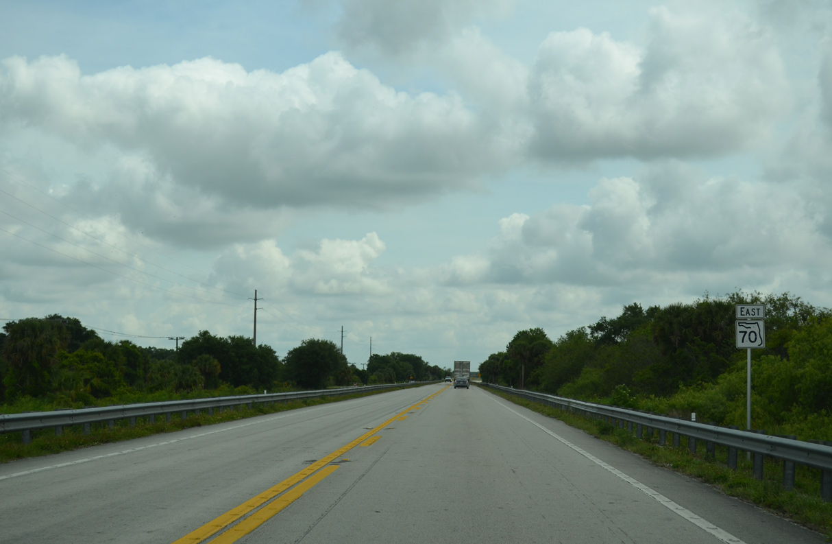
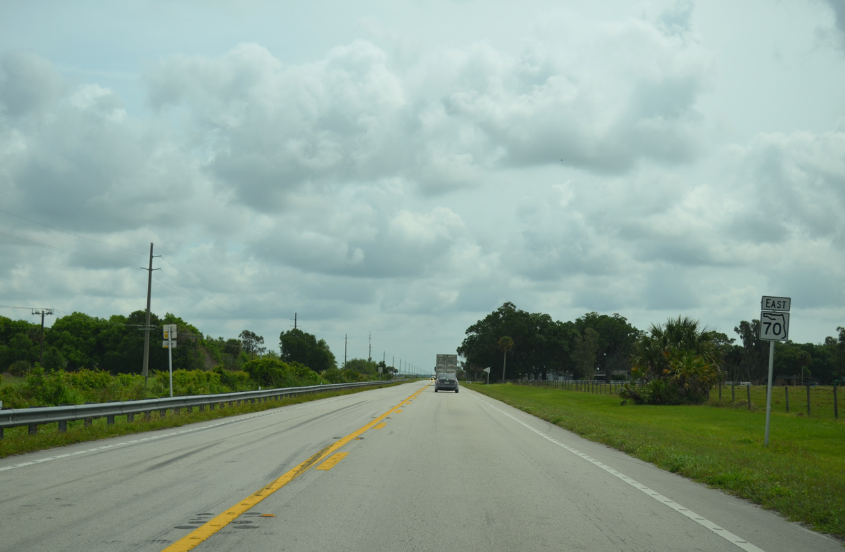
Progressing east from CR 721 north, SR 70 passes by Coco Sod Farms and open ranch land.
10/17/14
Reassurance marker posted after Jordan Terrace and the Kissimmee River Estates mobile home community.
10/17/14
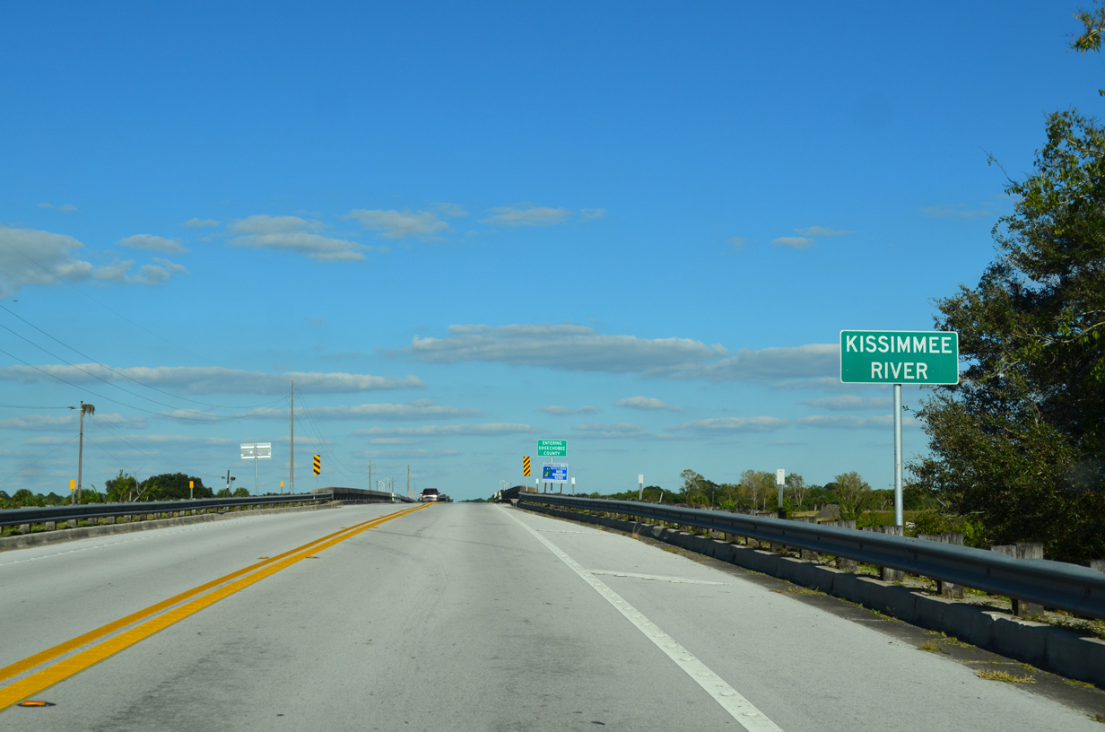
SR 70 crosses the Kissimmee River on a span built in 1966 and dedicated as the Billy Bowlegs III Bridge on May 31, 1969.
10/17/14
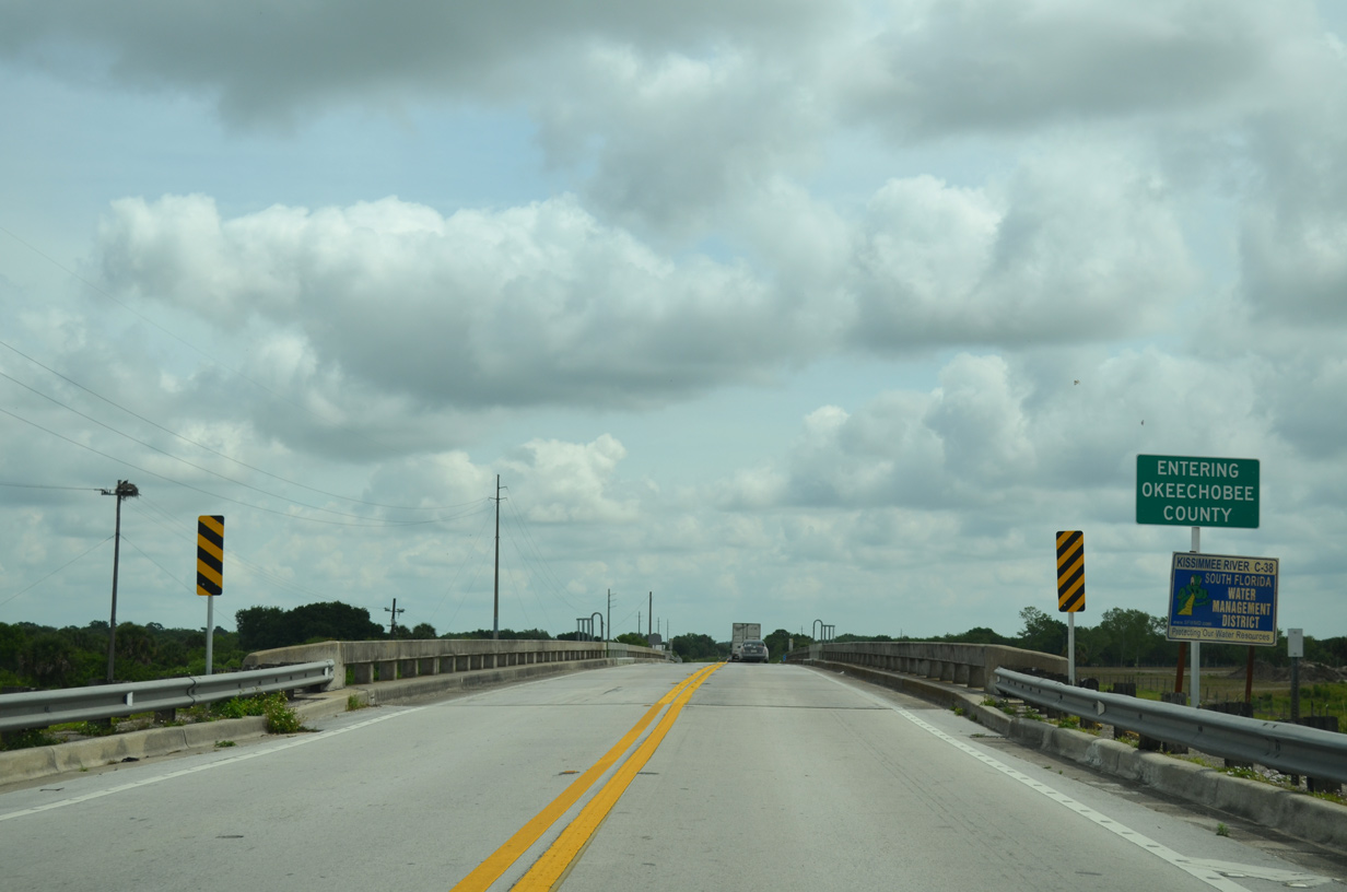
Crossing the channelized Kissimmee River, State Road 70 shifts another half mile north into Okeechobee County.
04/15/16
Confirming marker posted east of the Kissimmee River.
04/15/16
SR 70 east at NW 128th Avenue. NW 128th Avenue is unsigned CR 599 north 2.01 miles.
04/15/16
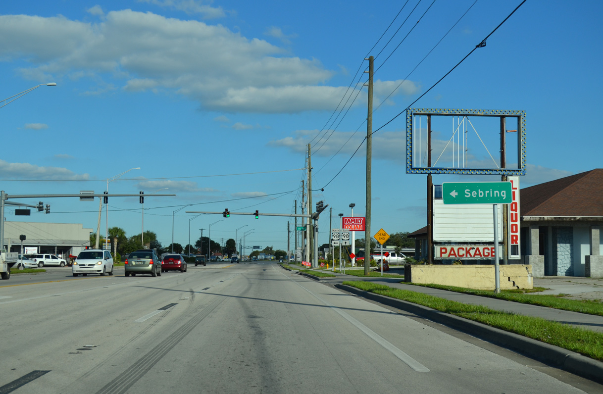
U.S. 98 travels northwest from SR 70 (Park Street) to Sebring in Highlands County.
10/17/14
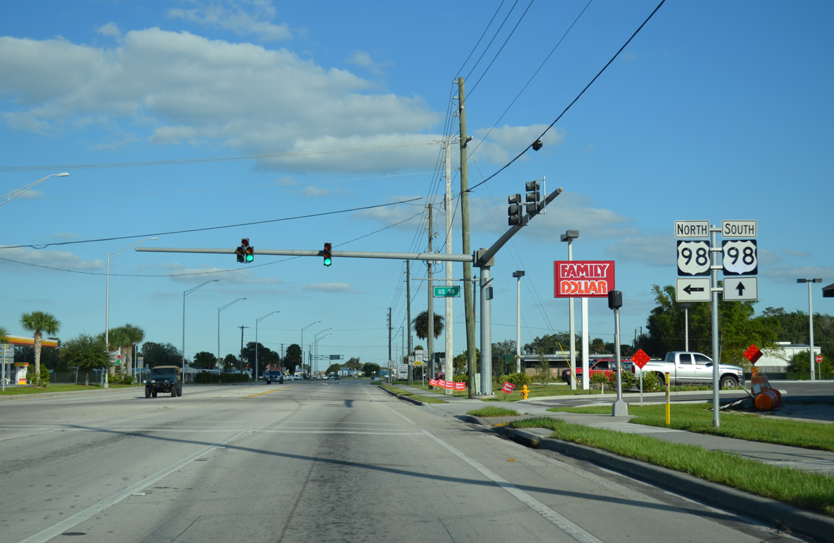
U.S. 98 combines with SR 70 (Park Street) 1.17 miles east to U.S. 441 (Parrott Avenue) in Downtown Okeechobee.
10/17/14
 South East
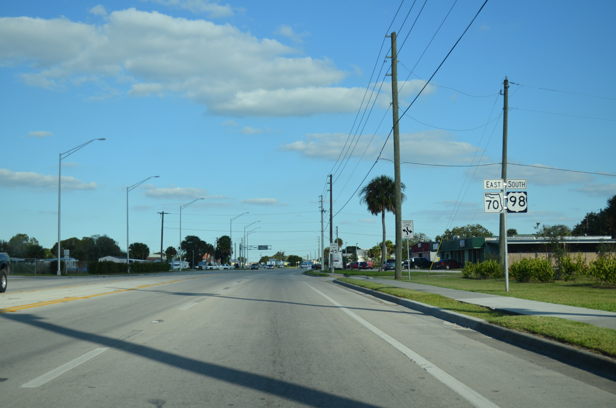
U.S. 98/SR 70 widen to a five lane commercial boulevard east.
10/17/14
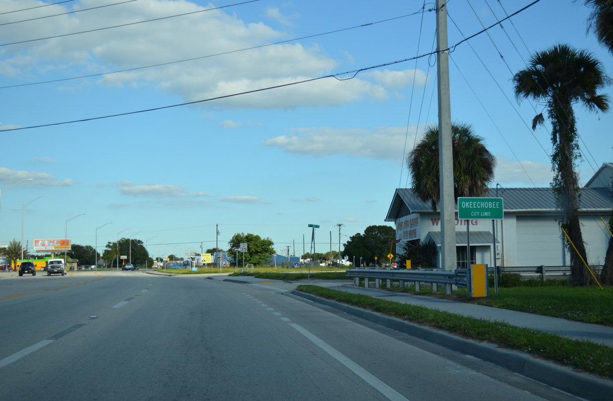
U.S. 98/SR 70 (Oak Street) cross the Okeechobee city line at NW/SW 12th Avenue.
10/17/14
SW Park Street splits from U.S. 98/SR 70 (NW Park Street) beyond SW 12th Avenue and this shield assembly.
10/17/14
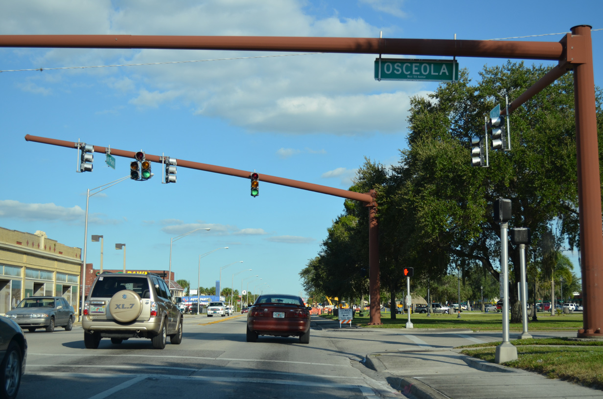
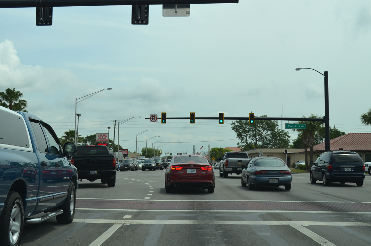
Flagler Park separates NW and SW Park Streets leading east into Downtown Okeechobee. The succeeding traffic light along SR 70 east and U.S. 98 south is with Osceola (5th) Avenue).
10/17/14
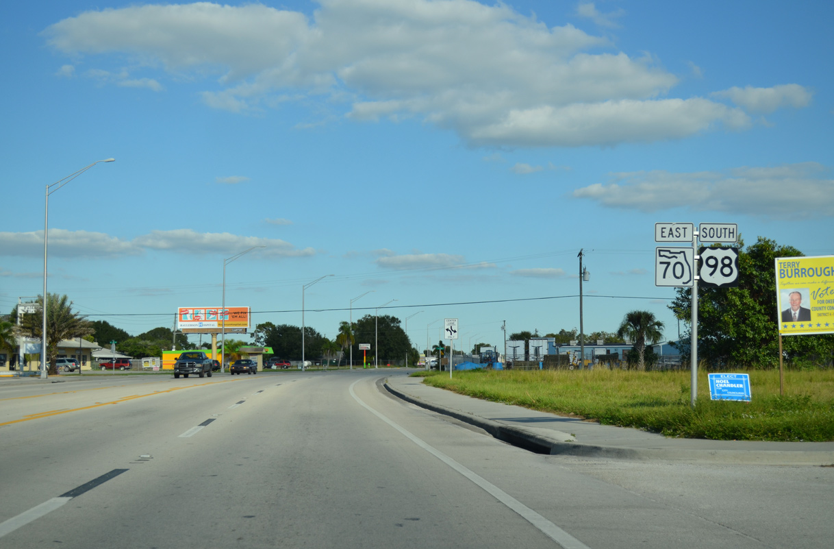
U.S. 98 splits from SR 70 (NW Park Street) east and joins U.S. 441 (Parrott Avenue) south around Lake Okeechobee en route to West Palm Beach. U.S. 441 travels north from Okeechobee to Yeehaw Junction, where it meets SR 60 by Florida's Turnpike to Orlando.
04/15/16
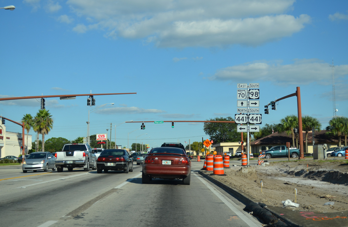
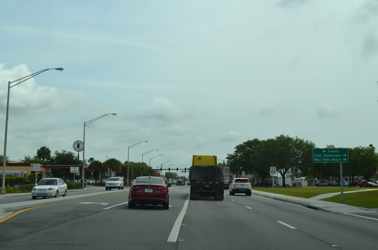
U.S. 98/441 overlap 44.6 miles south to Pahokee and Belle Glade. SR 70 east 1.7 miles to SR 710 provides a more direct route to West Palm Beach and a bypass of south Okeechobee.
10/17/14
U.S. 441 along Parrott Avenue separates west and east street suffixes in the city of Okeechobee. U.S. 441 ventures 67 miles north along a rural course to U.S. 192 at Holopaw.
04/15/16
East
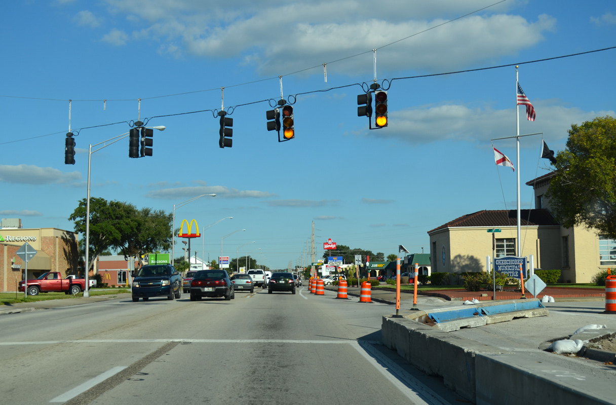
SR 70 advances east from the Okeechobee business district along Park Street.
10/18/08
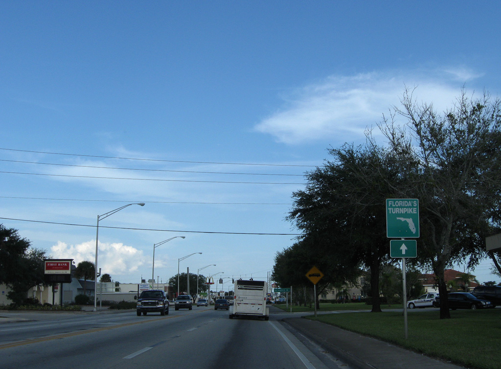
A Florida's Turnpike trailblazer precedes 2nd Avenue.
10/18/08
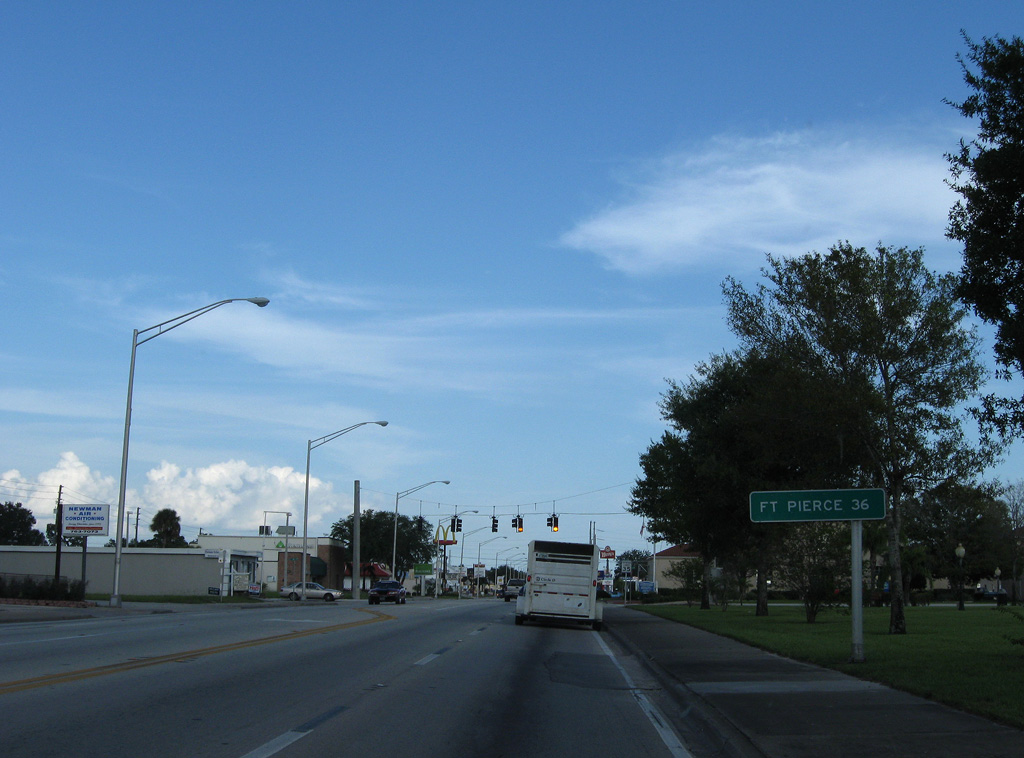
Fort Pierce is 37 miles northeast of Okeechobee City Hall via SR 70 east and U.S. 1 north. Old SR 70 through Fort Pierce was 0.8 miles shorter.
10/18/08
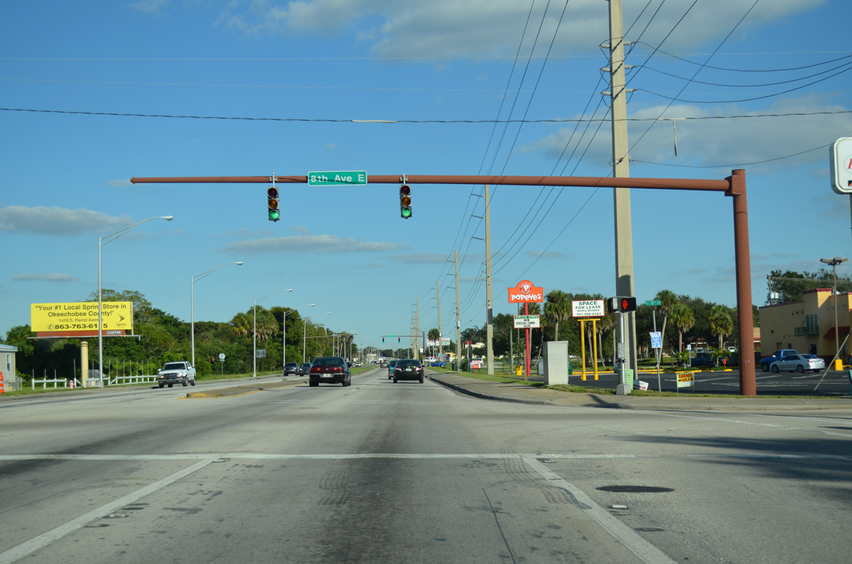
SR 70 (NE Park Street) narrows back into a five lane boulevard eastbound at NE/SE 3rd Avenue.
10/17/14
Crossing Taylor Creek, SR 70 (NE Park Street) next intersects NE/SE 8th Avenue in Okeechobee.
10/17/14
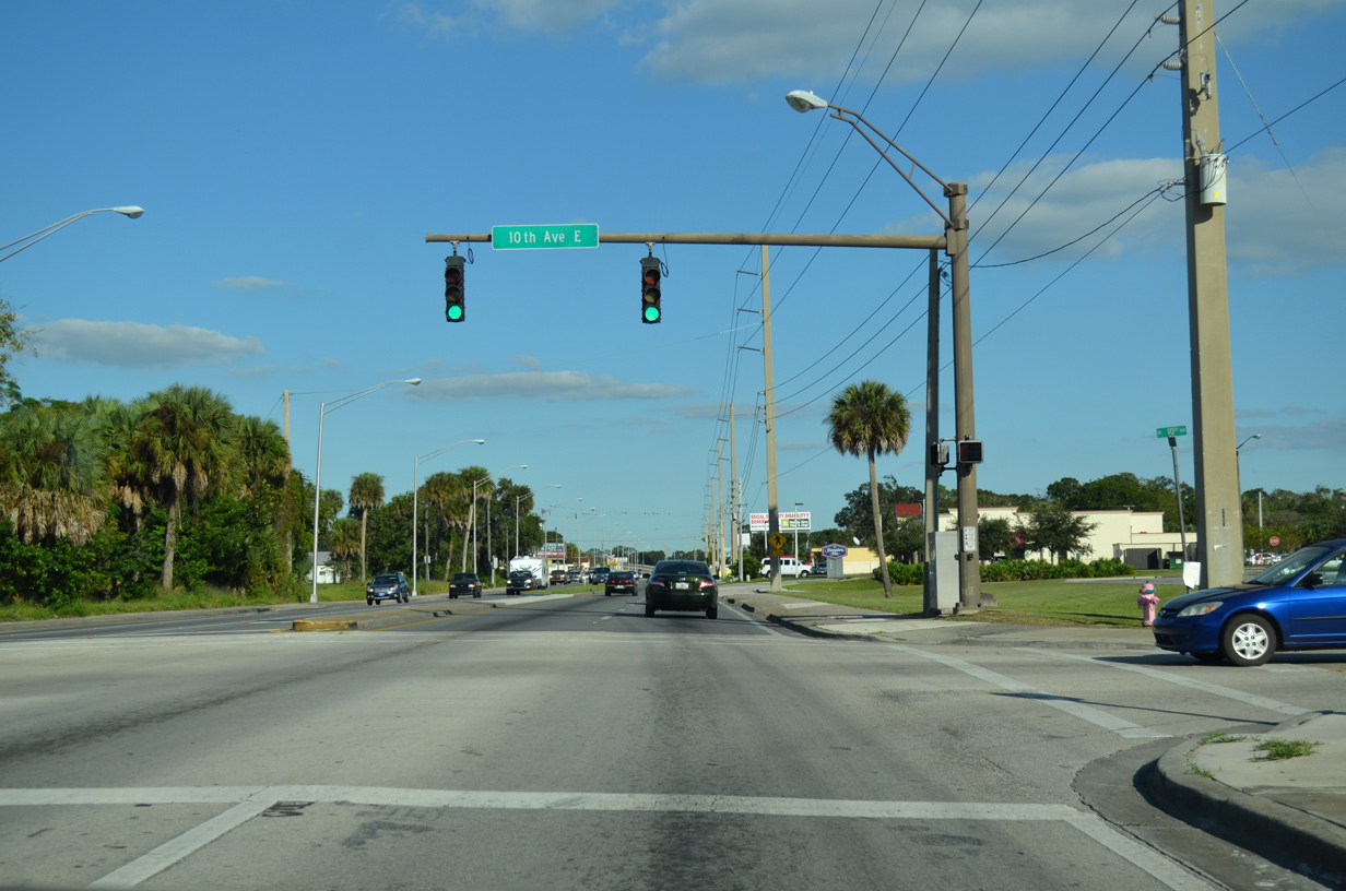
SE 10th Avenue joins SR 70 (NE Park Street) with a residential street grid east of Taylor Creek.
10/17/14
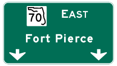

Photo Credits:
- Alex Nitzman: 10/17/14, 07/02/19
- Alex Nitzman, Justin Cozart: 03/12/06
- Brent Ivy: 04/15/16
- ABRoads: 10/18/08
Connect with:
Page Updated Thursday October 24, 2019.