
State Road 97
Branching northwest from County Road 95A and U.S. 29, State Road 97 serves Walnut Hill and Davisville before ending at the state line south of Atmore. Alabama State Route 21, a 279.30 mile highway, in conjunction with SR 97 provides one of two routes between Pensacola and Escambia County and Interstate 65 north to Montgomery.
 North
North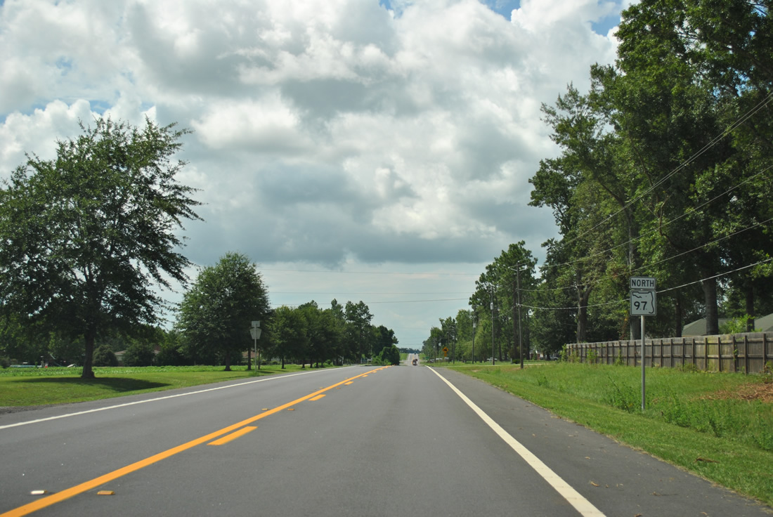
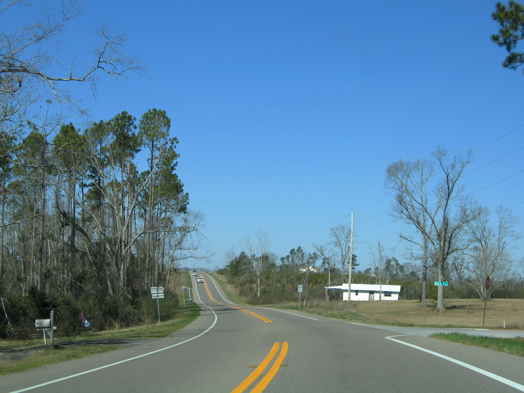
SR 97 begins and angles northwest from County Road 95A near Molino Crossroads. A handful of homes line the east side of the highway beyond the first reassurance marker.
07/24/11
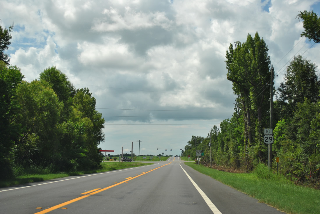
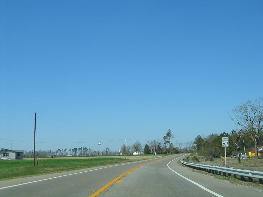
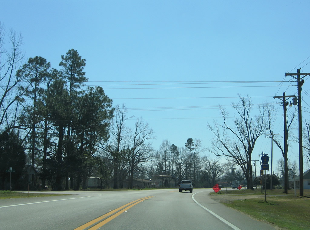
U.S. 29 and SR 97 come together a short distance west of CR-95A. U.S. 29 constitutes a four lane divided highway with a 65 mile per hour speed limit throughout most of northern Escambia County between Cantonment and Century.
07/24/11
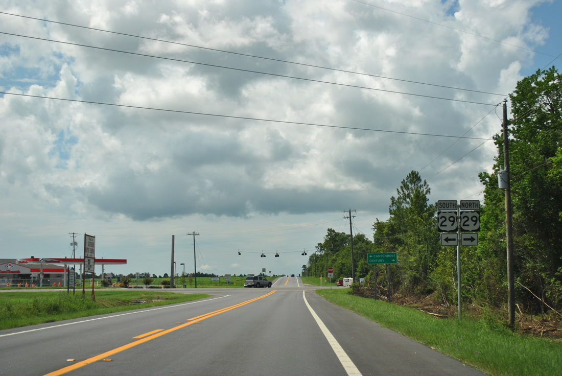
Traffic lights eventually replaced a set of flashers and stop sign along SR 97 at U.S. 29. Forming part of a hurricane evacuation route, U.S. 29 joins the Pensacola area with Flomaton, Alabama and I-65 via Alabama Route 113 north.
07/24/11
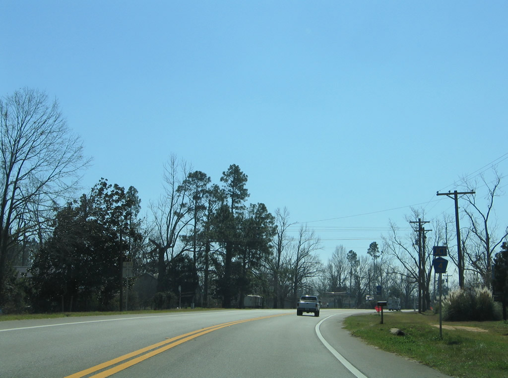
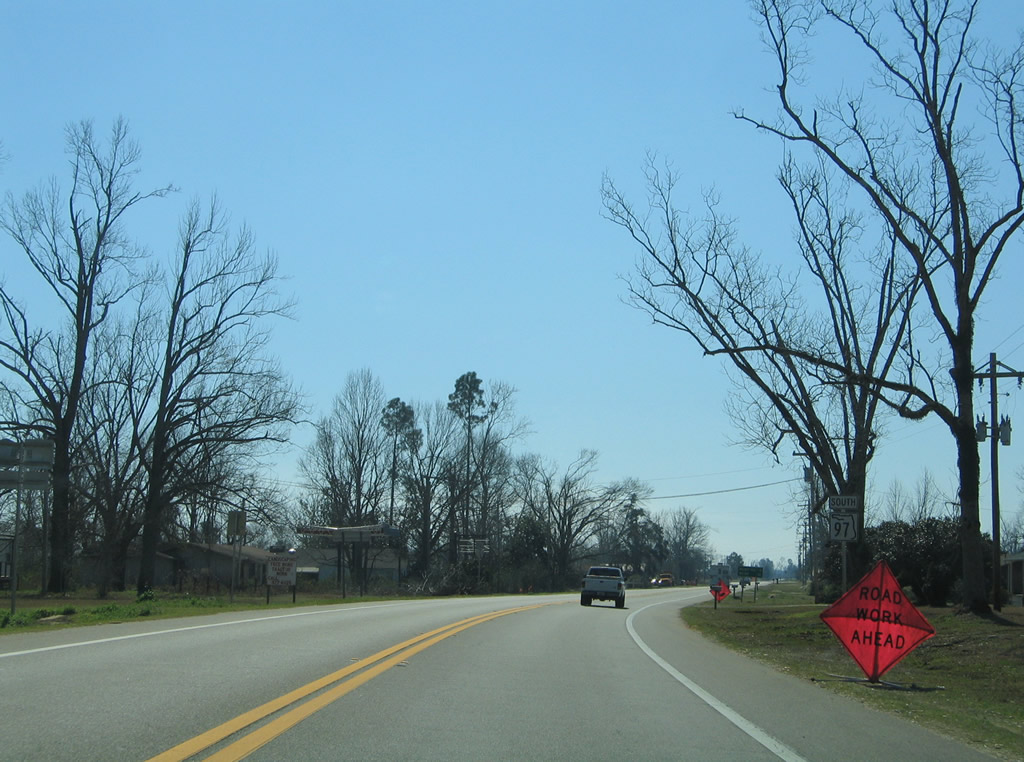
SR 97 continues northwest into agricultural areas along Atmore Highway. A reassurance shield was posted after U.S. 29, but has since been removed. Twenty miles separates this stretch of pavement with the state line near Atmore, Alabama.
12/09/01
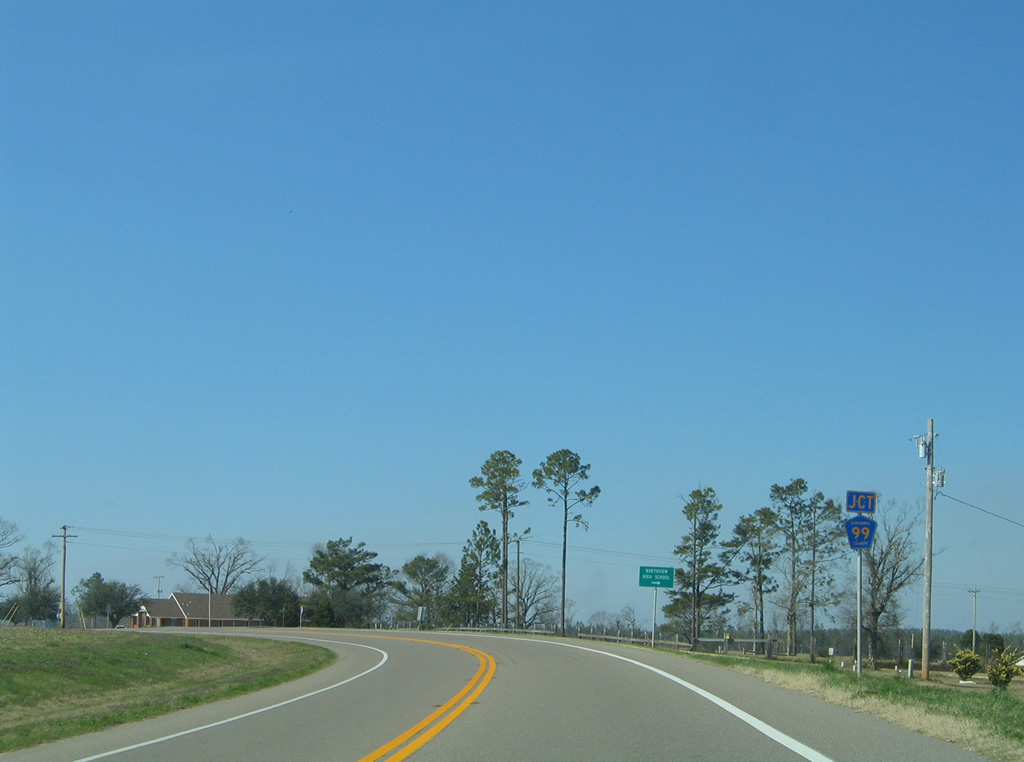
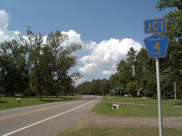
Winding northward, SR 97 (Atmore Highway) enters the rural community of Walnut Hill and meets the northern branch of County Road 99. CR-99 connects SR 97 with Oak Grove, Bratt and CR-4 east to Northview High School.
02/08/06
An implied overlap carries County Road 99 westward along SR 97 for 0.7 miles.
02/07/06
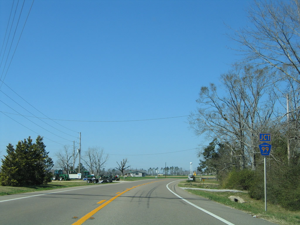
Escambia County Road 99 stems south from SR 97 and Walnut Hill through farm fields to rural McKinnonville and Bay Springs. CR-99 ultimately leads to CR-196 east at Barrineau Park.
02/07/06
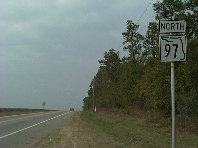
Reassurance marker for SR 97 north posted after CR-99 south in Walnut Hill.
02/07/06
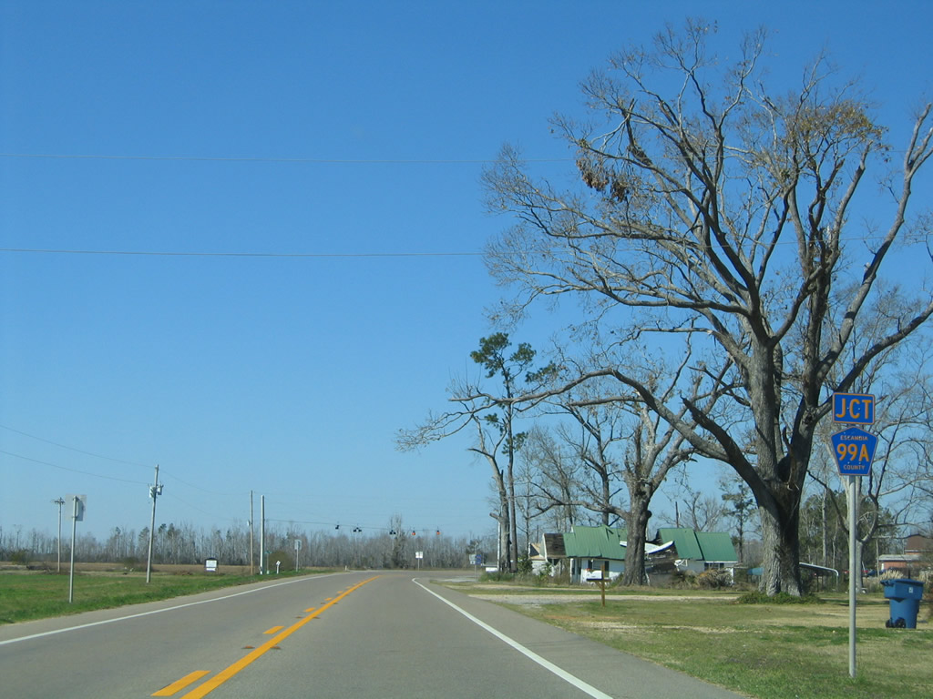
County Road 99A meanders west from County Road 99 to cross paths with SR 97 in Walnut Hill next.
02/07/06
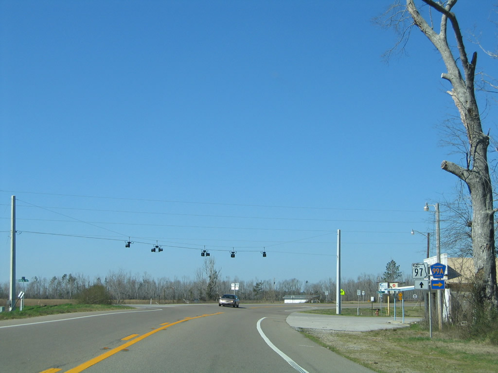
Signs for Escambia County Road 99A along SR 97 are erroneous in that they point to only one direction from either way of the state road. CR-99A continues beyond SR 97 to the west 6.94 miles along Arthur Brown Road to end at Pineville Road.
02/07/06
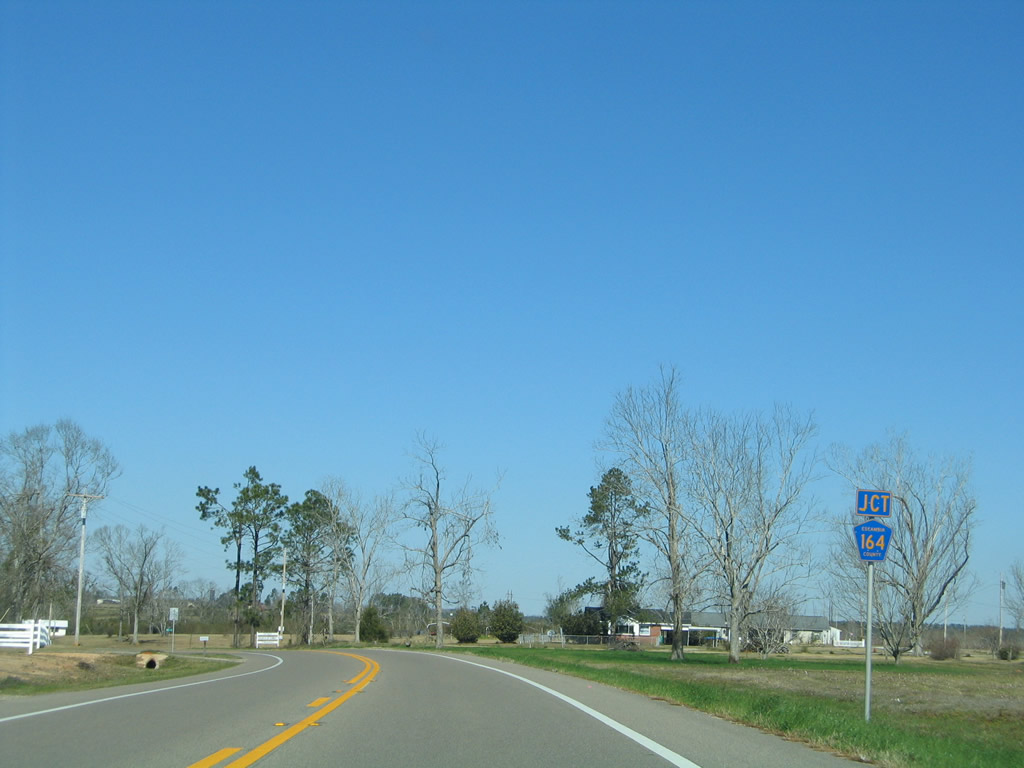
Turning northward from near Wiggins Lake in Walnut Hill, drivers along SR 97 approach the west end of County Road 164.
02/07/06
Escambia County Road 164 begins and travels east from SR 97 along a 11.35 mile course to Oak Grove and U.S. 29 at McDavid.
02/07/06
Approaching the intersection with Escambia County Road 4 on SR 97 north at Davisville. CR-4 east links SR 97 with the community of Bratt and city of Century to the east. SR 97 otherwise travels 2.5 miles further to become Alabama 21 outside Atmore.
08/24/02
South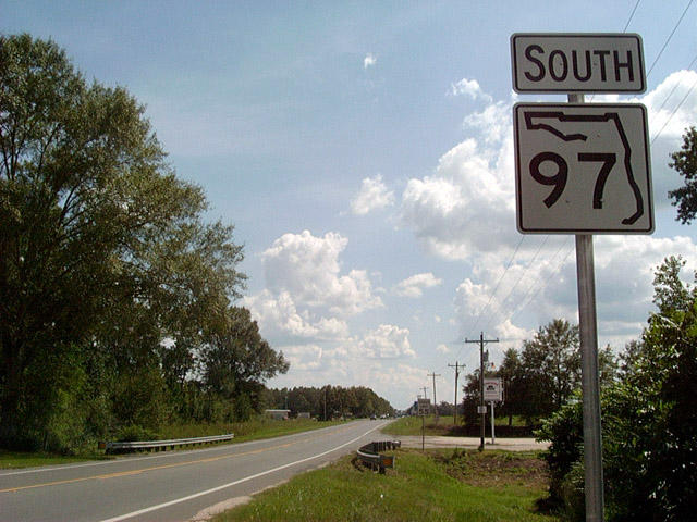
What was the first southbound SR 97 shield was posted immediately south of the Alabama state line (there was no shield posted in 2011). The state highway maintains two lanes southward throughout its duration to U.S. 29 and Escambia County Road 95A. Speed limits through this stretch of northern Escambia County are posted at 55 miles per hour, though the initial stretch was reduced to 45 MPH since this photo was taken.
08/24/02
Entering Davisville, motorists along SR 97 (Atmore Highway) south meet the west end of County Road 4.
02/08/06
County Road 4 extends the routing of State Road 4 west from Century to Byrneville, Bratt and Davisville along an otherwise rural trek.
02/08/06
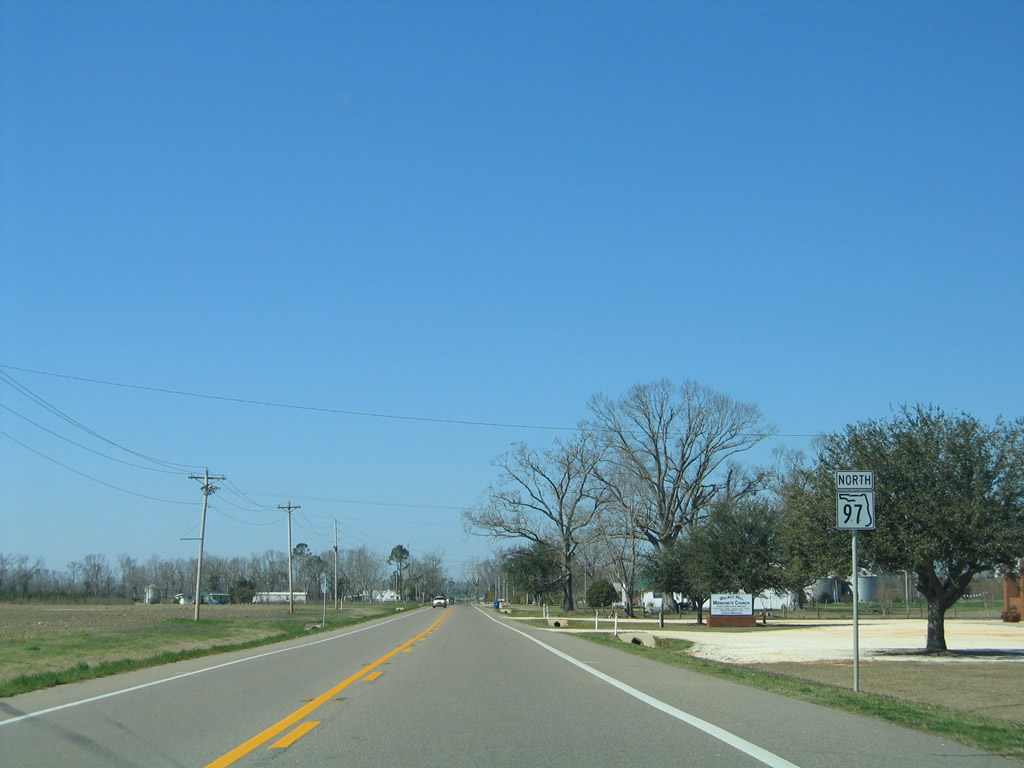
SR 97 continues south from Davisville five miles to Walnut Hill and 20 miles to Molino (via CR-95A).
02/08/06
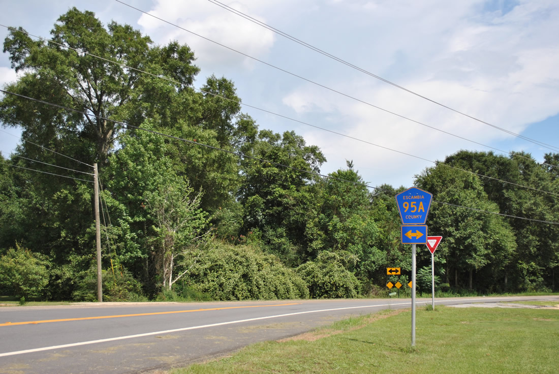
SR 97 originally extended 0.6 mile from U.S. 29 to CR 95A, the former alignment of the US route. CR 95A loops east from U.S. 29 to SR 97, Molino Crossroads nearby, Quintette, Cottage Hill and U.S. 29 at Cantonment.
07/24/11
Photo Credits:
- ABRoads: 07/24/11
- Alex Nitzman: 12/09/01, 08/24/02, 02/07/06, 02/08/06
Connect with:
Page Updated Monday November 26, 2012.