
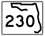
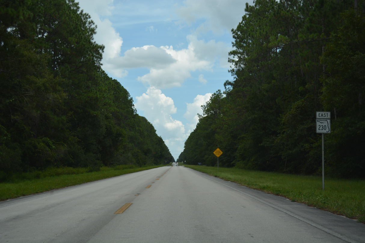
State Road 230
7.36 miles in length, Florida State Road 230 provides one of two routes connecting Starke in Bradford County with Camp Blanding in Clay County. SR 230 parallels SR 16 to the south between U.S. 301 at Downtown Starke and W Gate Road to the Camp Blanding West Gate. Curving north from W Gate Road, SR 230 ties into SR 16 at the Kingsley Village community on the west side of Kingsley Lake.
A wye intersection joins the east end of SR 230 with SR 16 at Thornwood Court. Inventoried as SR 230S, a 0.21 mile long separate branch of the state road links SR 230 east with SR 16 west and from SR 16 east to SR 230 west.
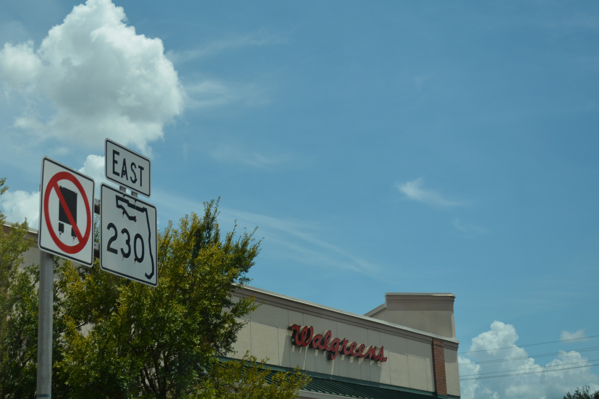
The first confirming marker for SR 230 east appears along W Call Street at U.S. 301 (Temple Avenue) ahead of Downtown Starke.
08/16/18
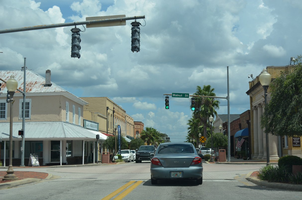
SR 230 (Call Street) east at Walnut Street in Downtown Starke. Walnut Street represents the dividing line between west and east street prefixes in Starke.
08/16/18
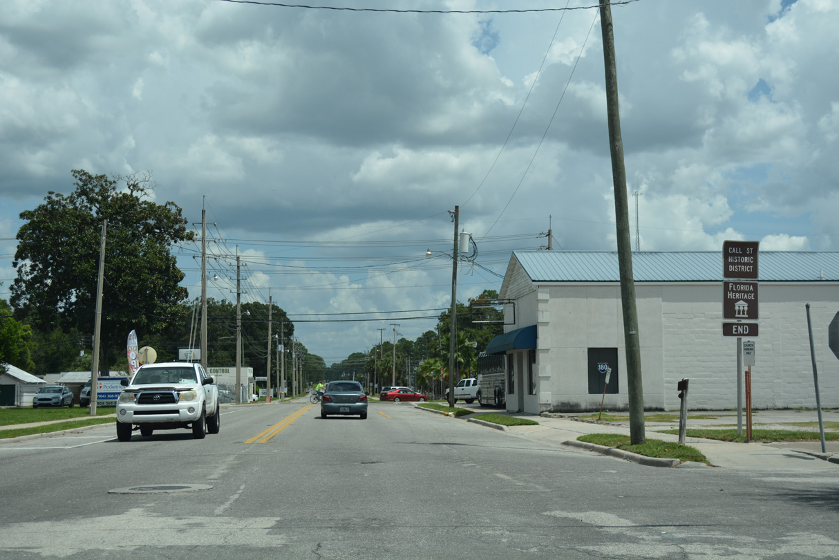
The Call Street Historic District extends east along SR 230 from Downtown Starke to Cherry Street.
08/16/18
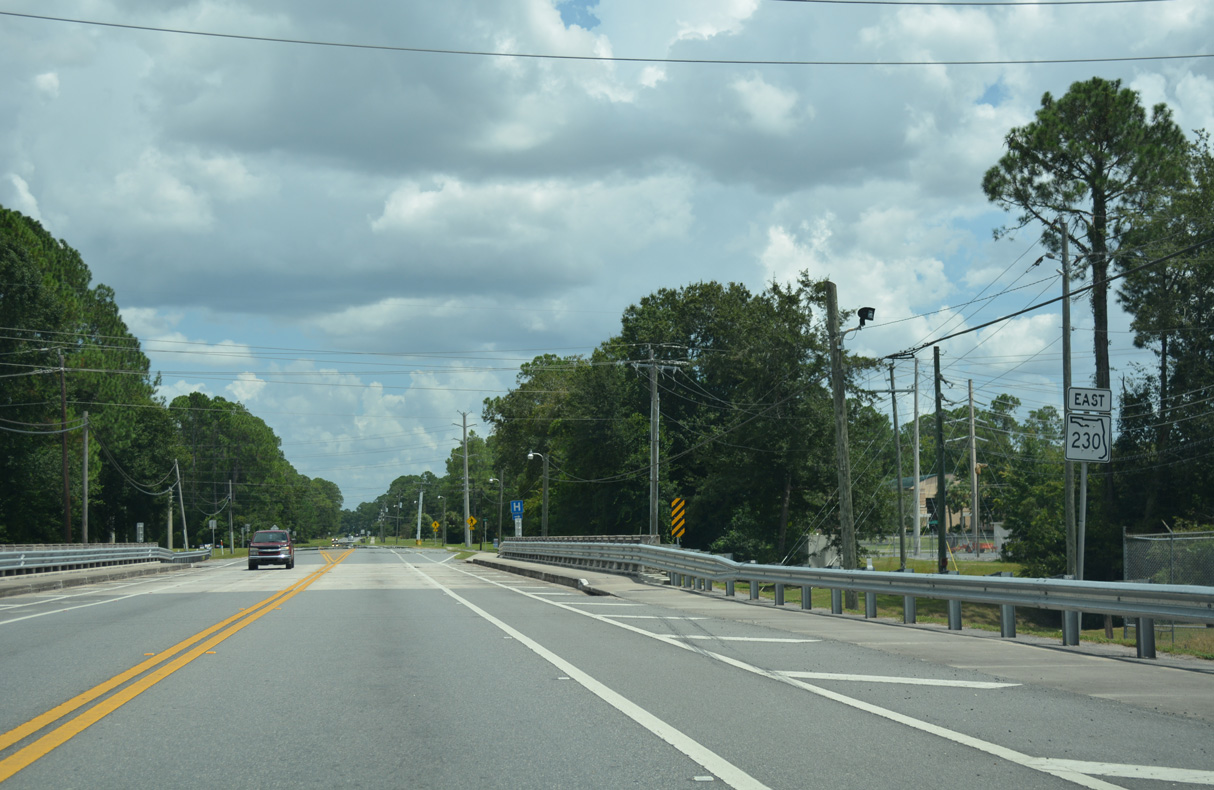
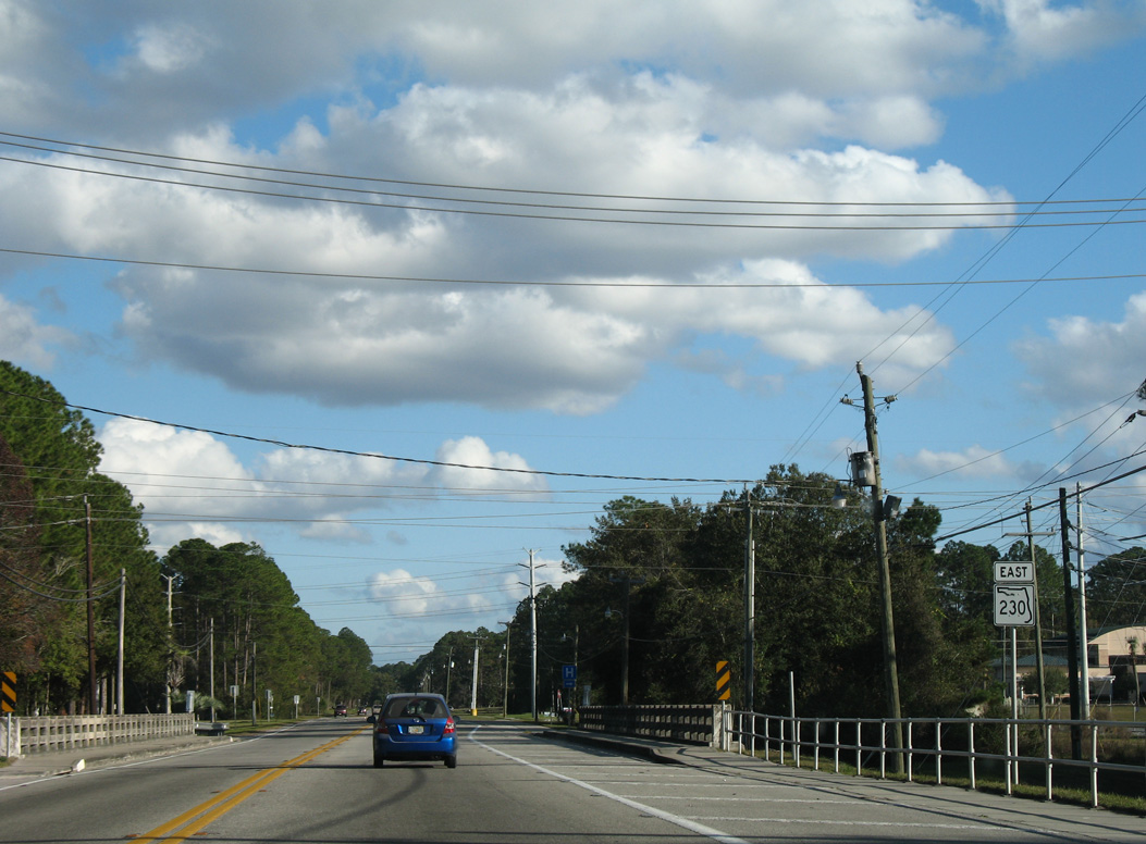
St. Clair Street links SR 230 with adjacent SR 100 before the route turns south from Madison Street toward Keystone Heights. E Call Street continues from there across Alligator Creek.
08/16/18
The bridge taking SR 230 (Call Street) across Alligator Creek before the addition of metal guard rails.
12/14/07
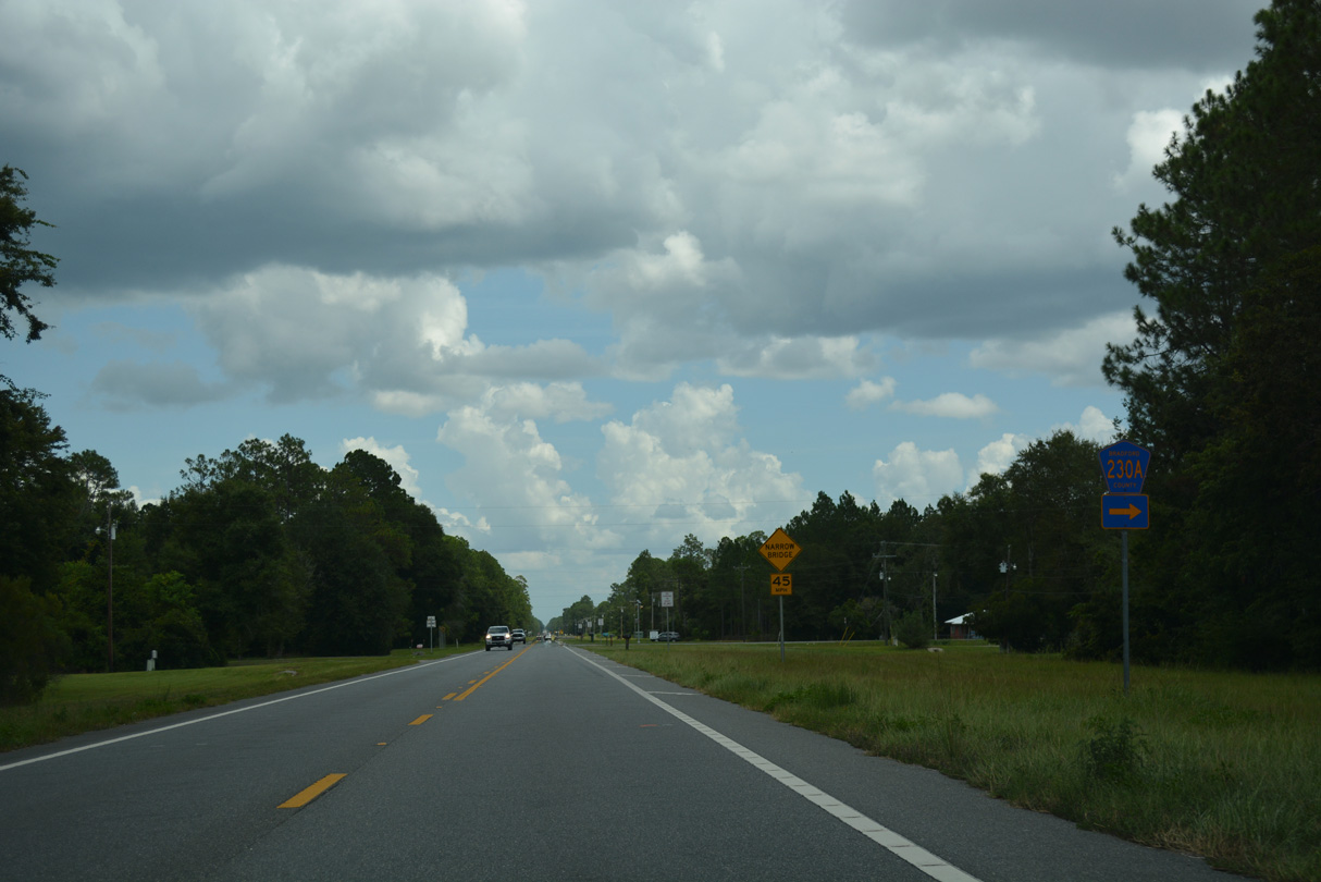
CR 230A stems 0.79 miles south from SR 230 to CR 100A.
08/16/18
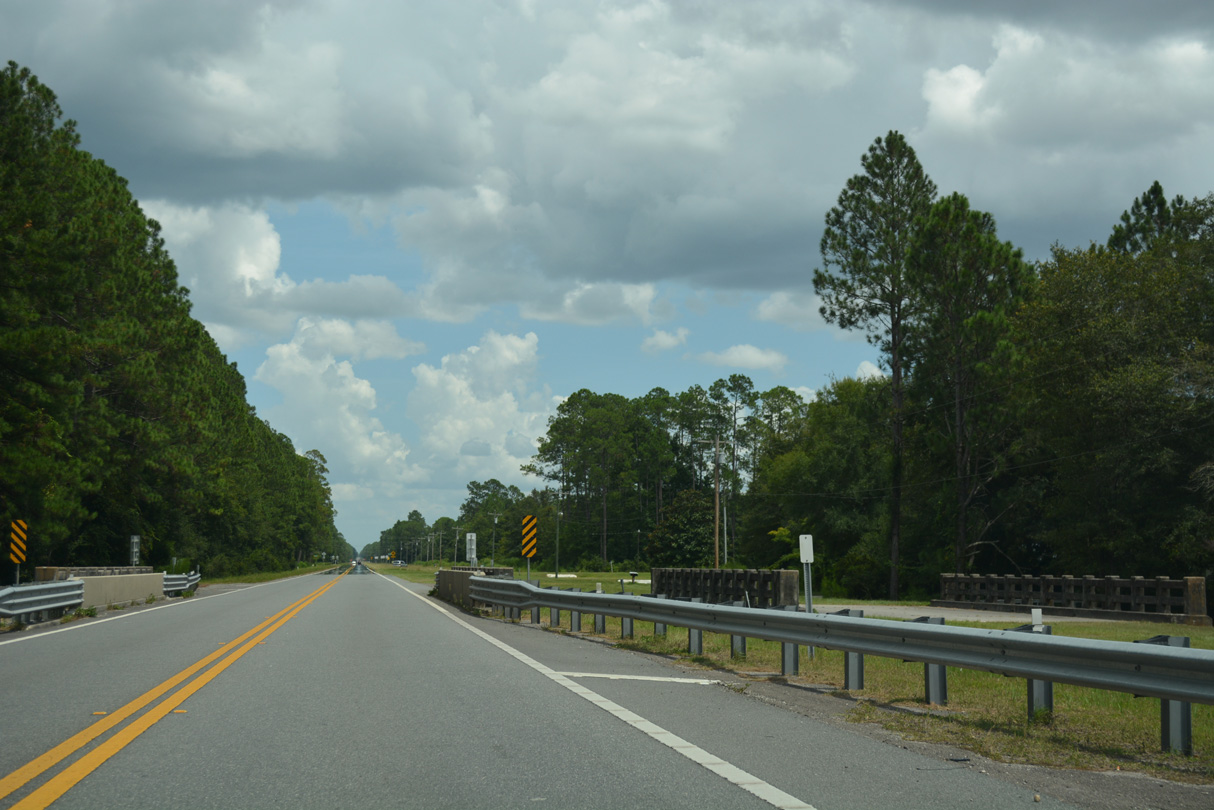
SR 230 crosses a tributary of Alligator Creek east of CR 230A. The first of two abandoned bridges parallel the south side of the highway.
08/16/18
The second crossing of Alligator Creek along SR 230 east follows SE 11th Place.
08/16/18
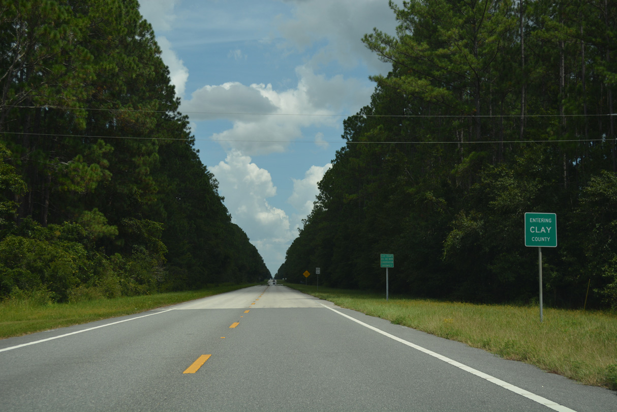
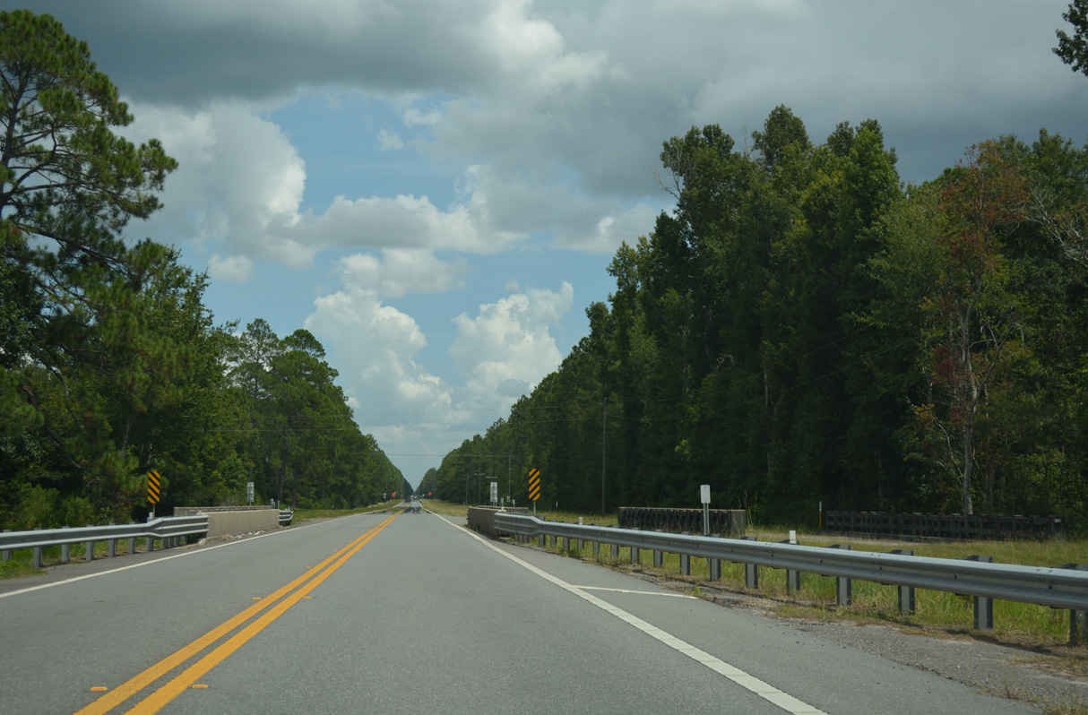
SR 230 enters Clay County and Camp Blanding Military Reservation 3.84 miles east of U.S. 301 in Starke.
08/16/18
Lands within Camp Blanding along SR 230 are dually within Camp Blanding State Wildlife Management Area.
12/14/07
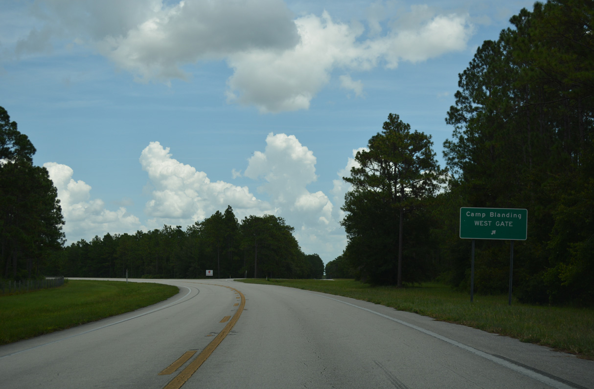
West Gate Road branches east from SR 230 to the West Gate of Camp Blanding.
08/16/18

SR 230 curves north from West Gate Road to Kingsley Village.
08/16/18
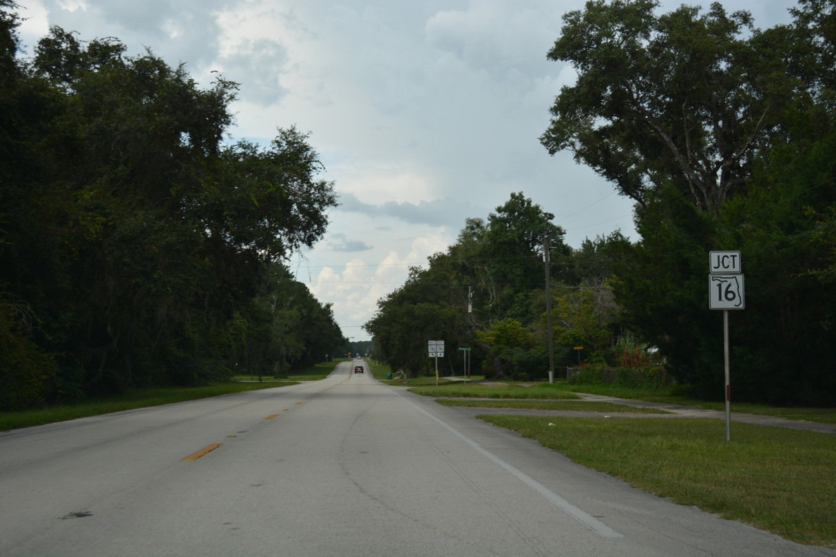
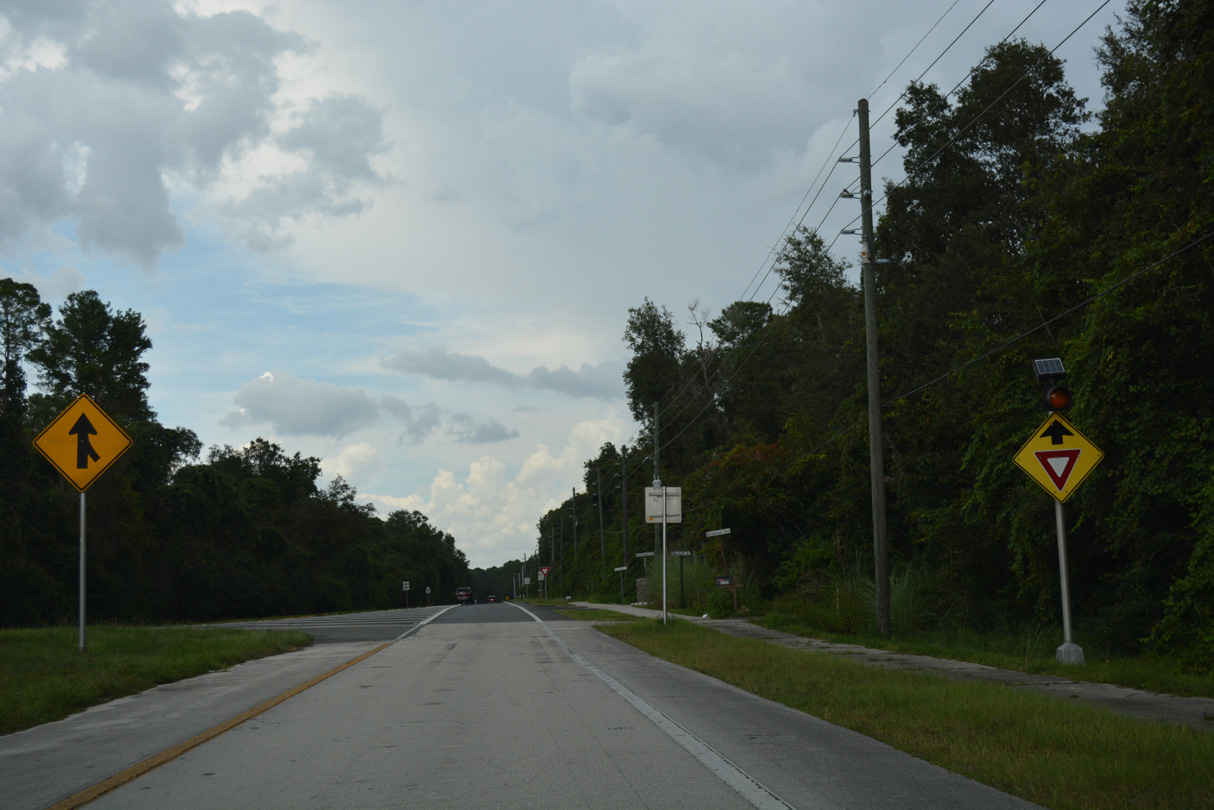
SR 230 converges with SR 16 after a series of residential streets leading to Kingsley Lake.
08/16/18
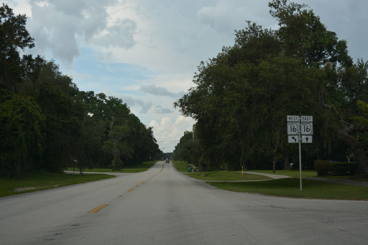
SR 230S branches west from SR 230 to connect with SR 16 leading back to Starke.
08/16/18
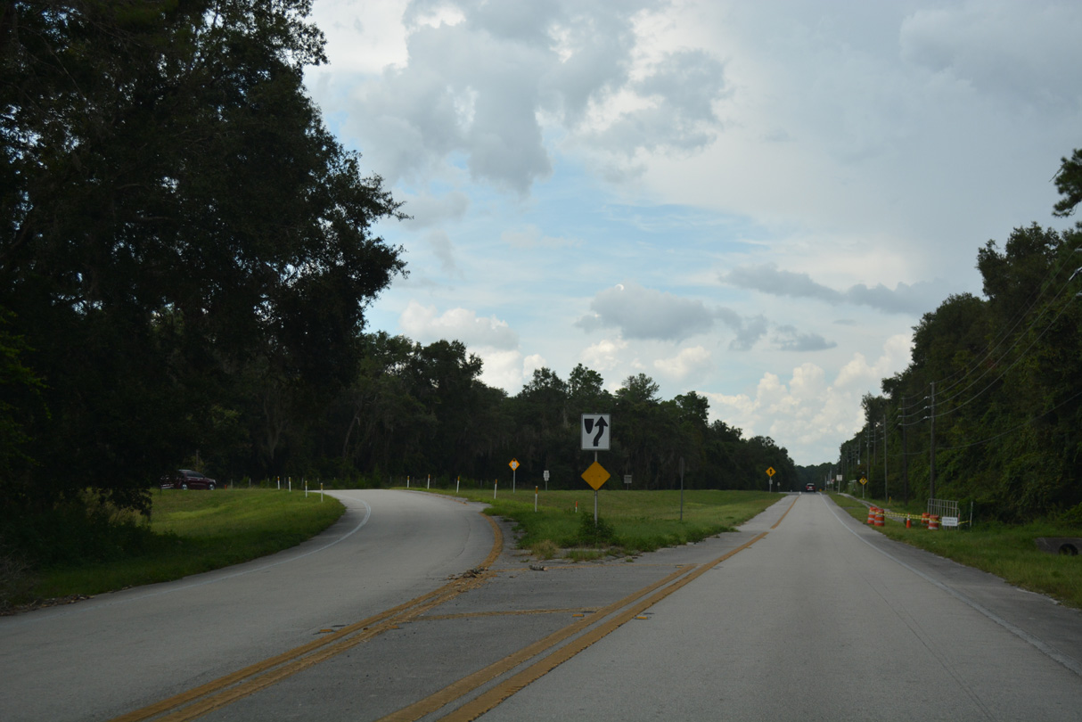
SR 16 overtakes SR 230 through Kingsley Village as the route encircles Kingsley Lake to the northwest.
08/16/18
SR 16 leads north to CR 225 and then east to the Camp Blanding Main Gate to Penney Farms and Green Cove Springs.
08/16/18
Photo Credits:
- Alex Nitzman: 12/14/07, 08/16/18
Connect with:
Page Updated Monday August 11, 2025.