
Mid-Bay Bridge / Mid-Bay Bridge Connector - South
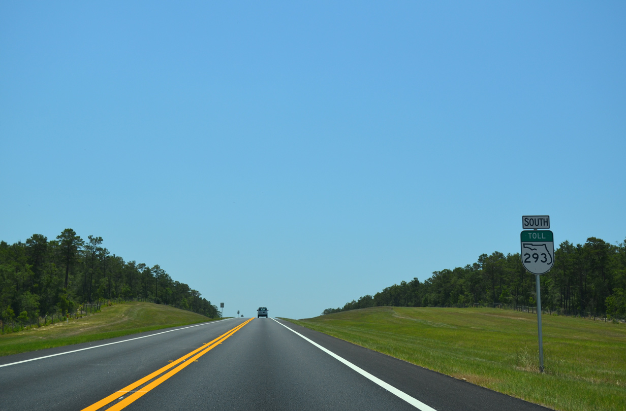
A trumpet interchange joins the west end of the Mid-Bay Connector with SR 85 on the rural outskirts of Niceville. A future extension planned for SR 293 will take the toll road southwest four miles to SR 85 near West College Boulevard.
05/22/14
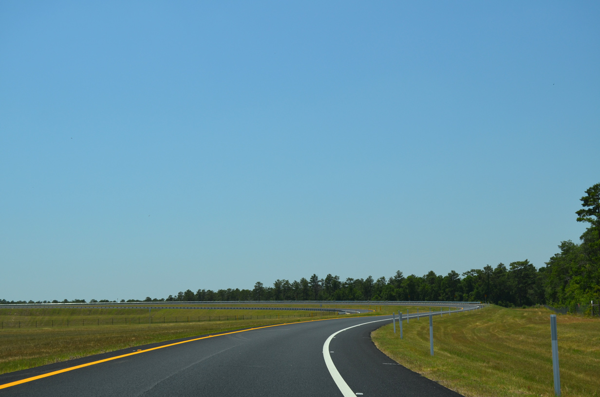
Approaching Mill Creek, Toll SR 293 arcs eastward to the north of Northwest Florida State College.
05/22/14
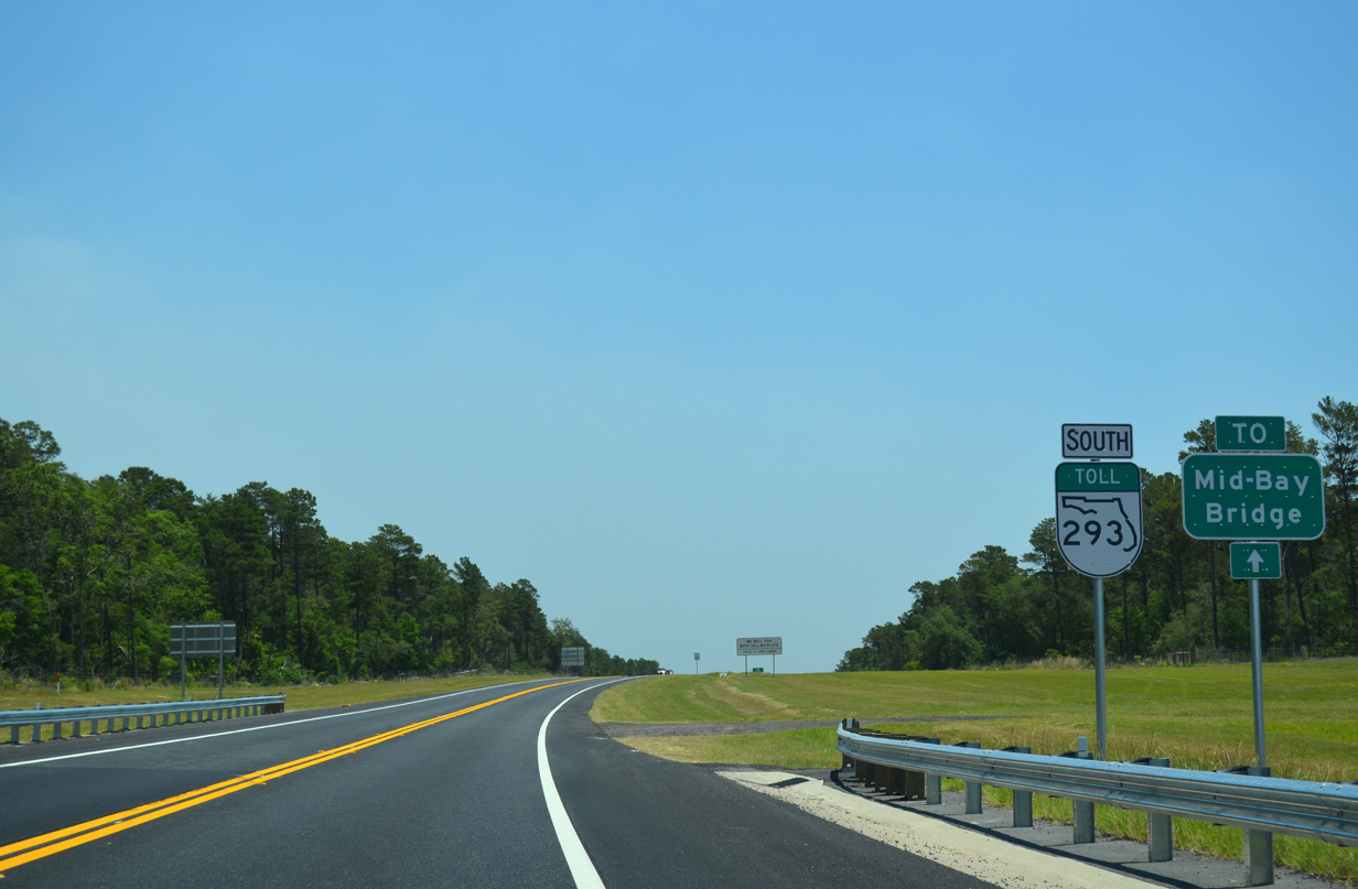
The first shield for SR 293 appears just beyond Mill Creek alongside a trailblazer for the Mid-Bay Bridge. Signs for the Mid-Bay Bridge are posted along SR 85 south leading into Niceville as well.
05/22/14
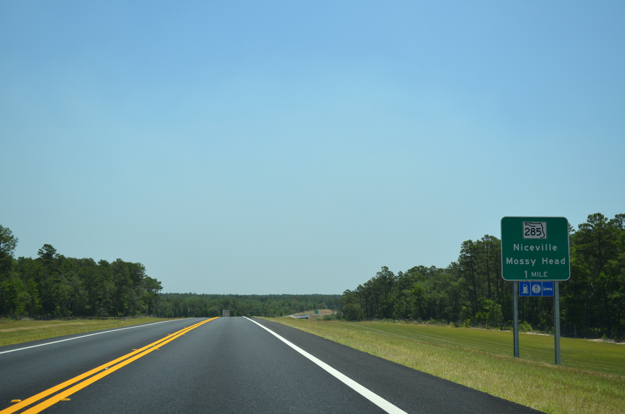
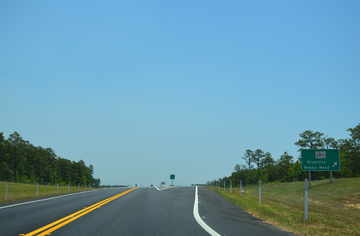
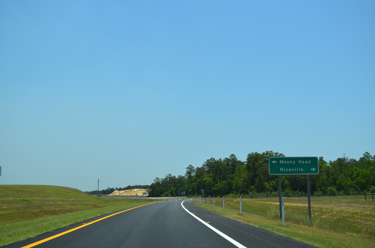
SR 285, a 17.86 mile route between Niceville and U.S. 90 near Mossy Head, crosses paths with SR 293 south in one mile.
05/22/14
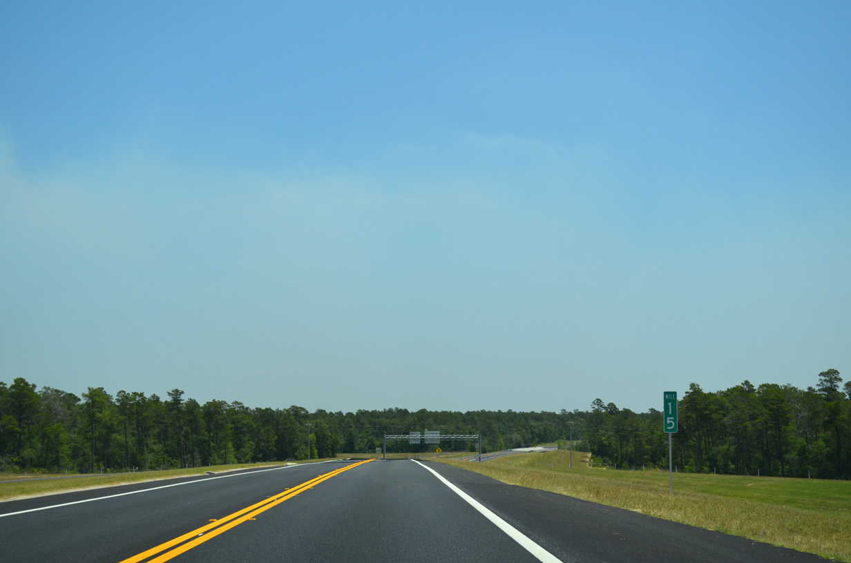
Bridges span both Fox Head Branch and Swift Creek as SR 293 starts to turn more southeast.
05/22/14
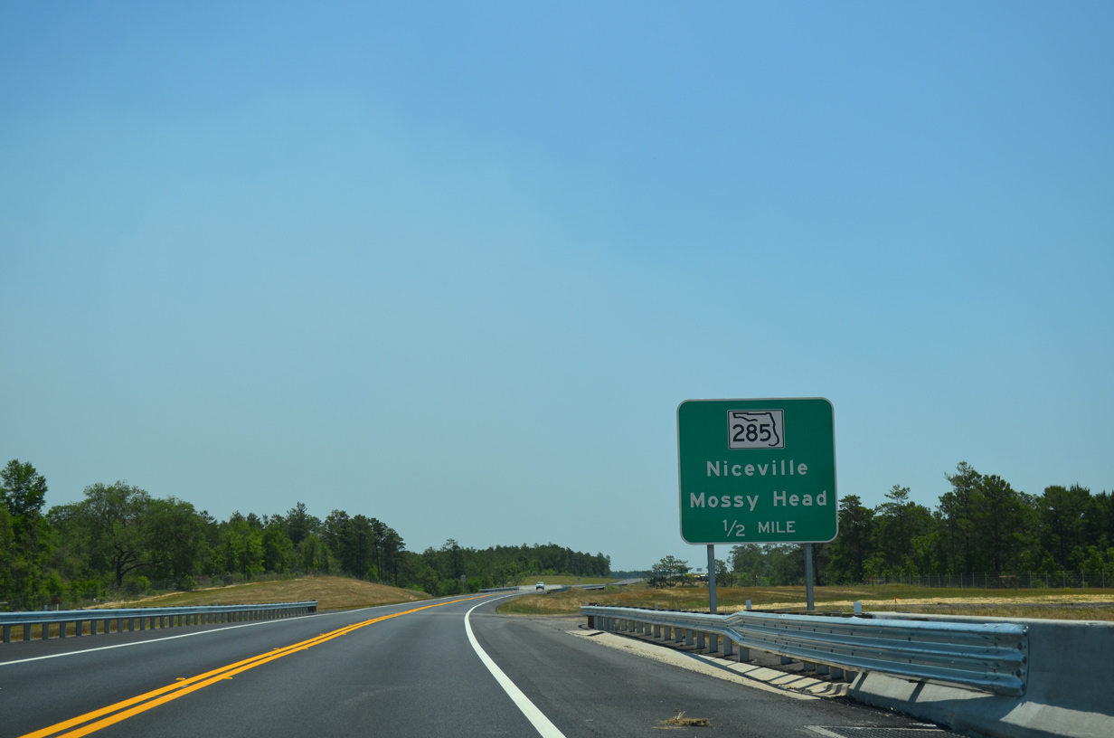
SR 285 provides one of two north-south routes from the Niceville and Fort Walton Beach area through Eglin Air Force Base to Interstate 10 and points north.
05/22/14
Entering the diamond interchange with SR 285 on the Mid-Bay Bridge Connector east.
05/22/14
SR 285 follows Partin Drive southwest to end at SR 20 in 2.4 miles.
05/22/14
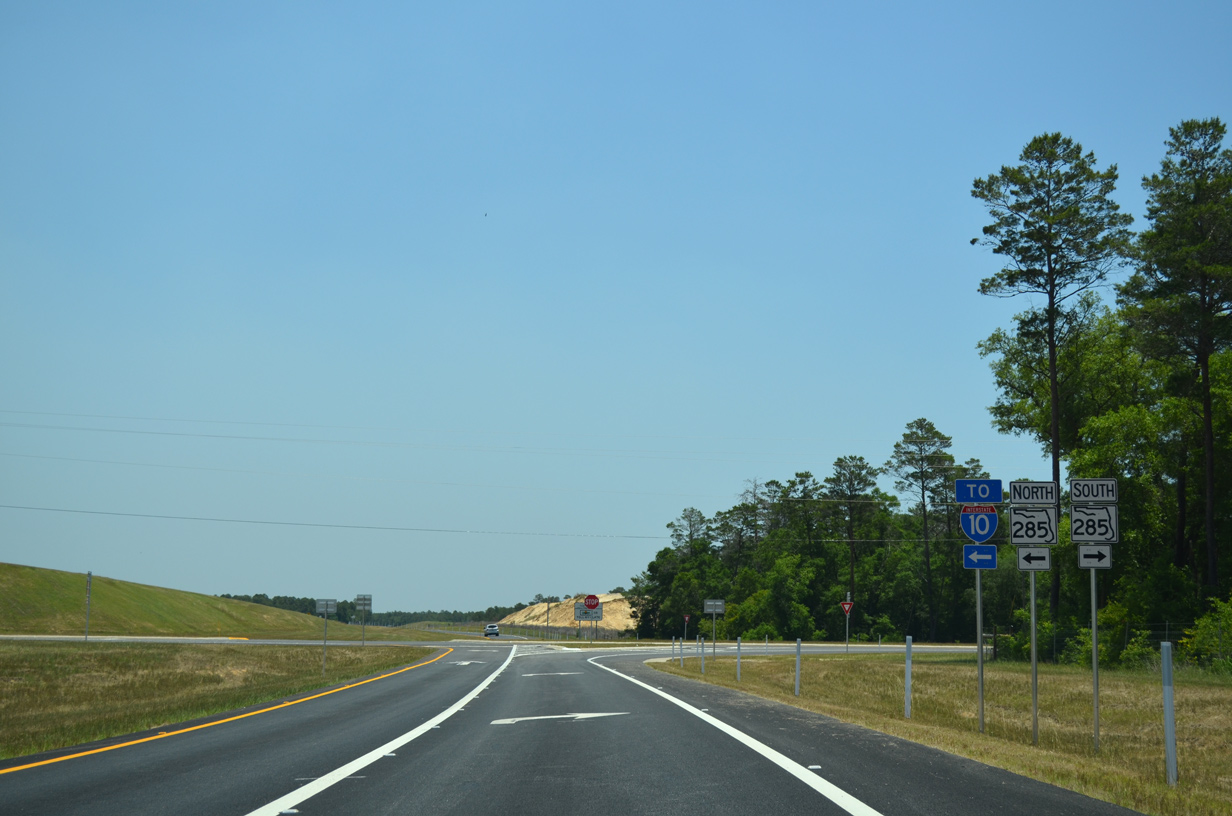
North from SR 293, SR 285 continues 15.2 miles to Interstate 10 in western Walton County.
05/22/14
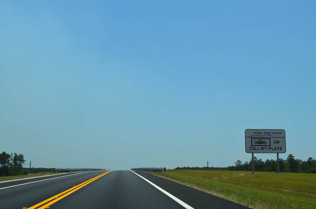
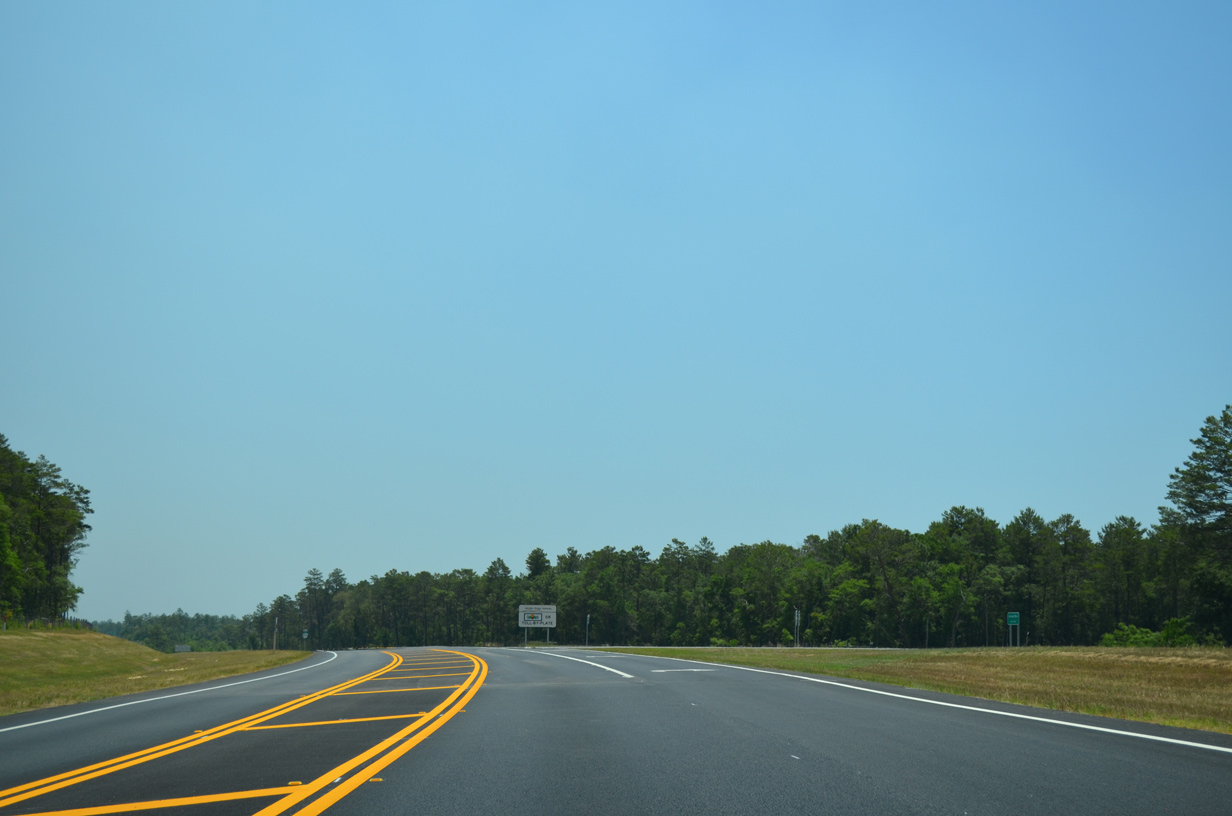
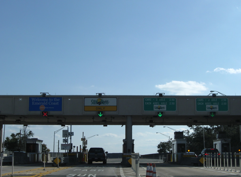
Tolls collected by the Mid-Bay Bridge Authority on the Niceville bypass use All Electronic Tolling (AET) methods of Sunpass or toll-by-plate.
05/22/14
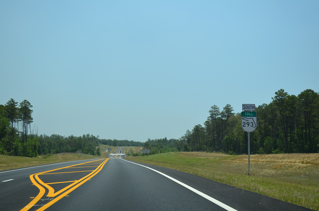
A reassurance marker follows for motorists joining SR 293 south from SR 285.
05/22/14
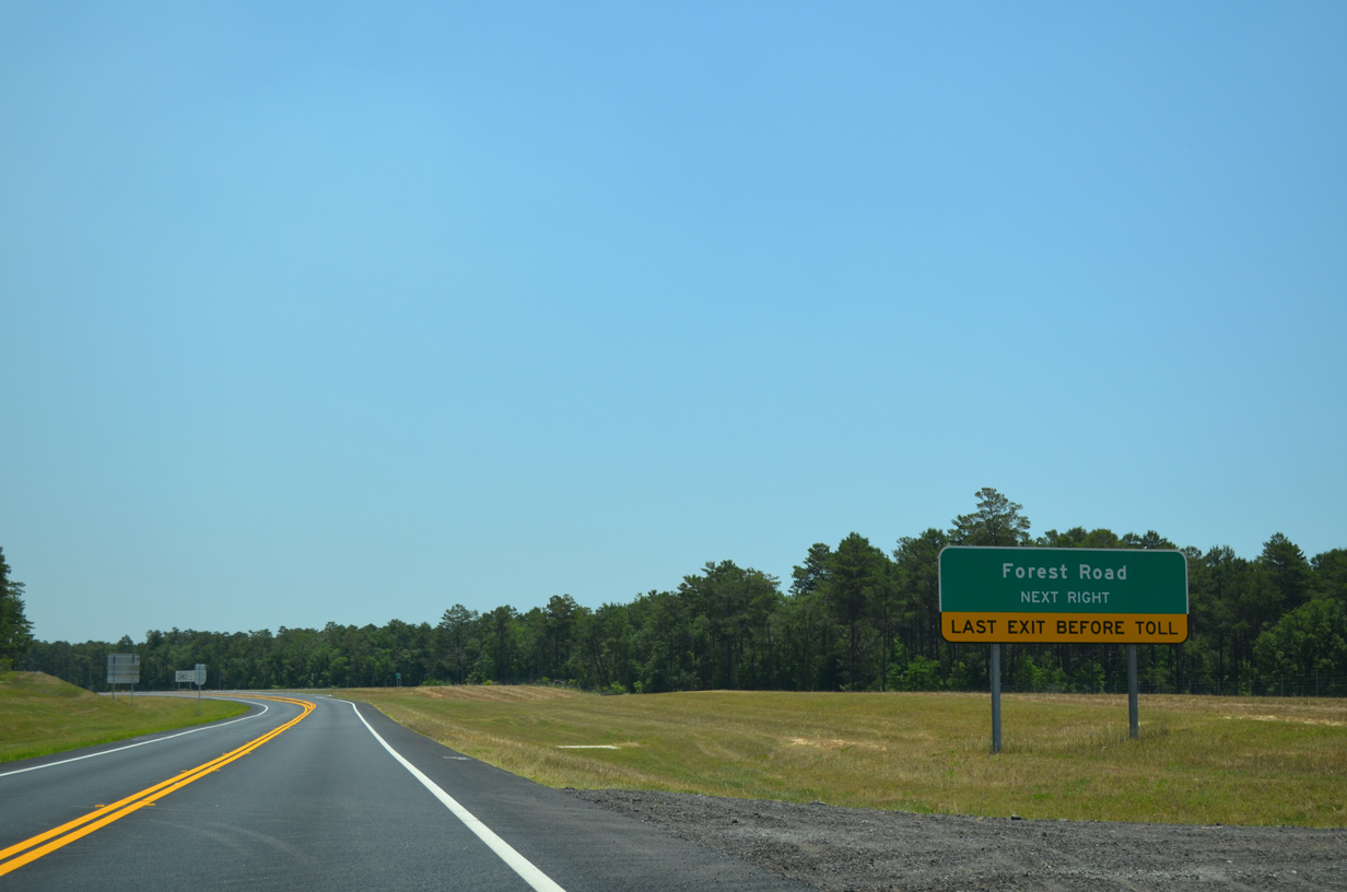
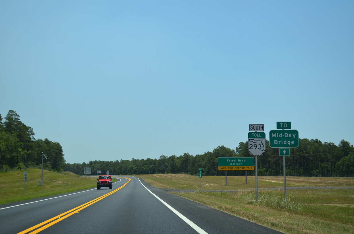
An at-grade intersection ties the north end of Forest Road with the Mid-Bay Bridge Connector. SR 293 is untolled from SR 85 to Forest Road.
05/22/14
A right turn lane emerges for Forest Road south to College Boulevard west and the Rocky Bayou Country Club golf course community.
05/22/14
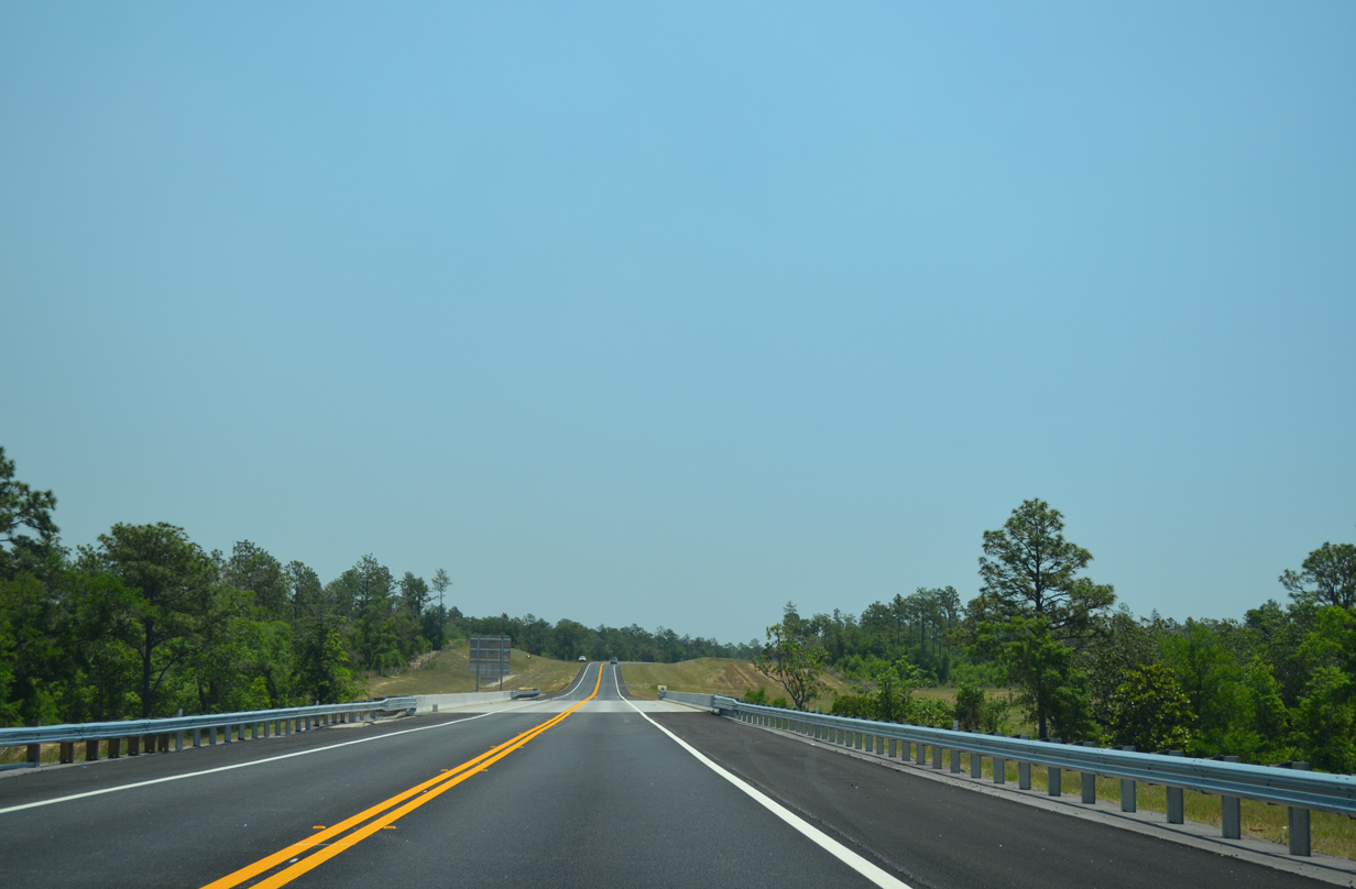
SR 293 prepares to veer southward beyond Forest Road.
05/22/14
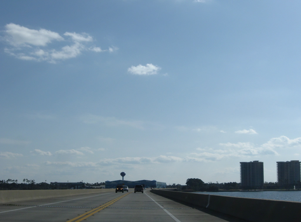
Crossing Turkey Creek, SR 293 curves to line a bluff between it and Long Creek.
05/22/14
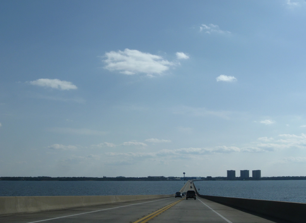
Destin lies ten miles to the south at the end of SR 293. SR 20, the main route into Niceville from the east, is reached in five miles.
05/22/14
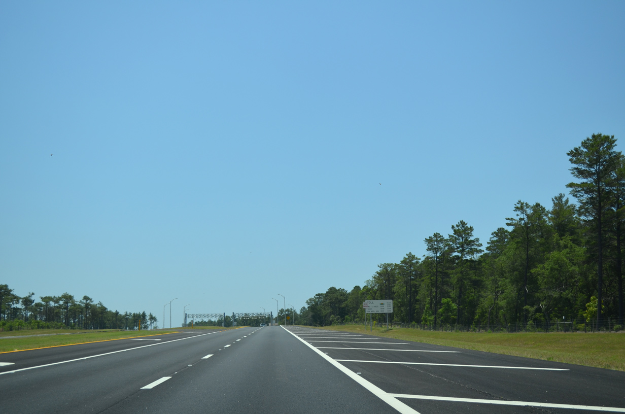
The Mid-Bay Bridge Connector expands to four lanes with a grassy median by the AET gantry. Left turn lanes line both directions, allowing motorists to make U-turns.
05/22/14
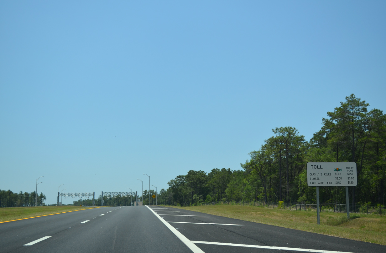
Toll schedule sign posted ahead of the toll collection point east of Niceville. Sunpass account holders pay a discounted rate.
05/22/14
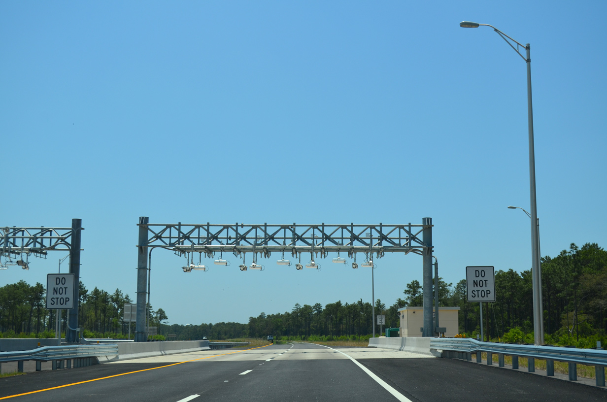
A set of transponder and license plate readers hang above the travel lanes of SR 293 at the AET gantry.
05/22/14
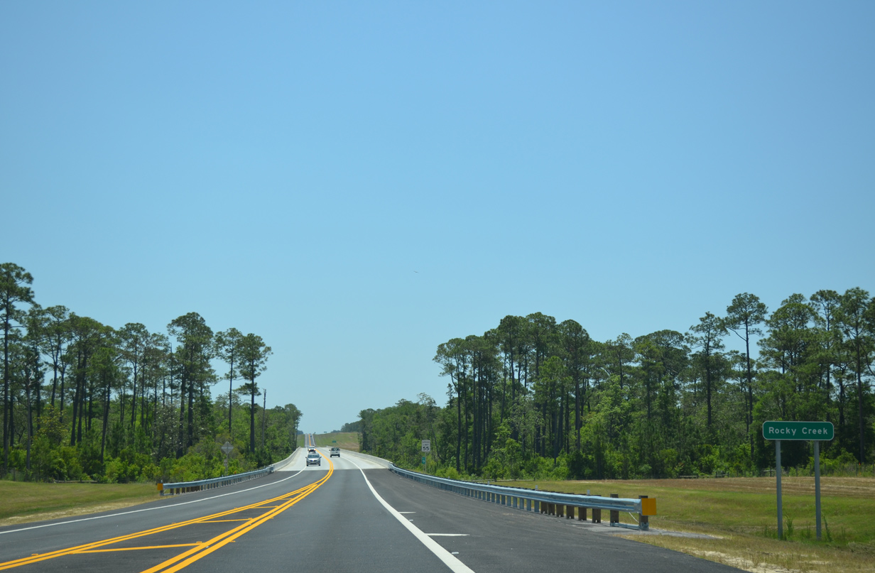
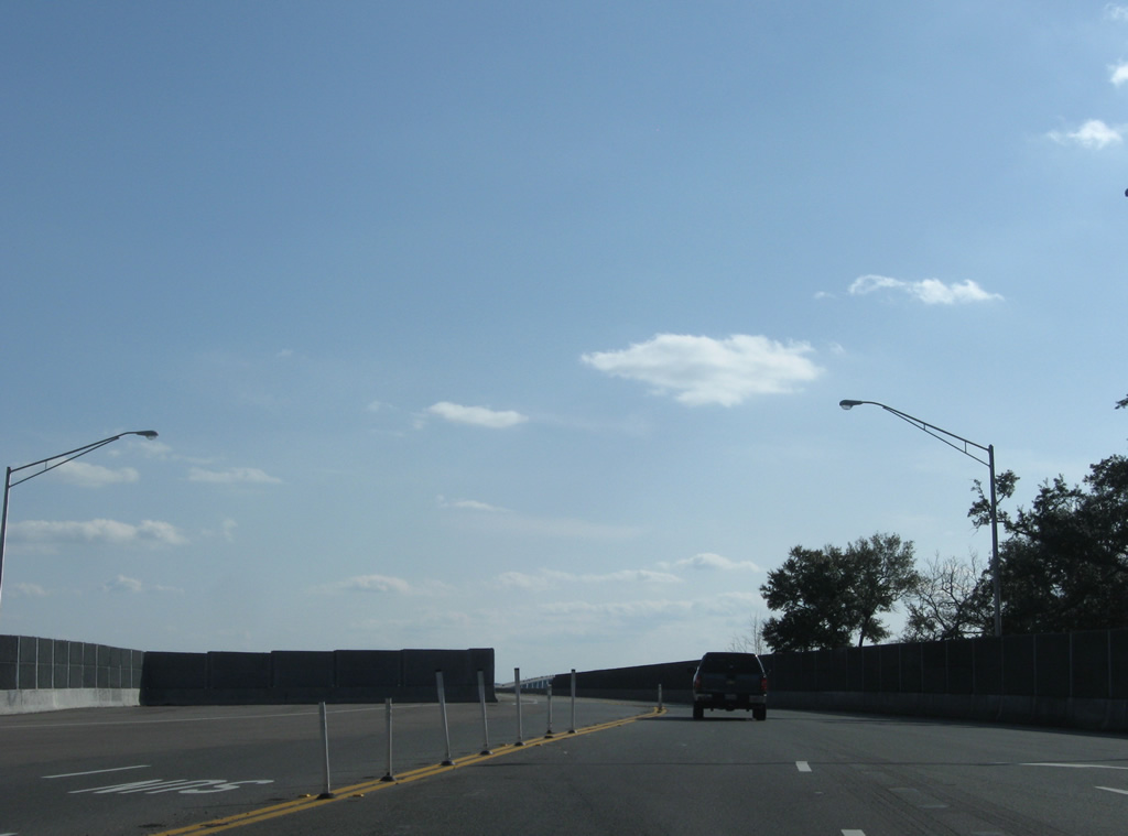
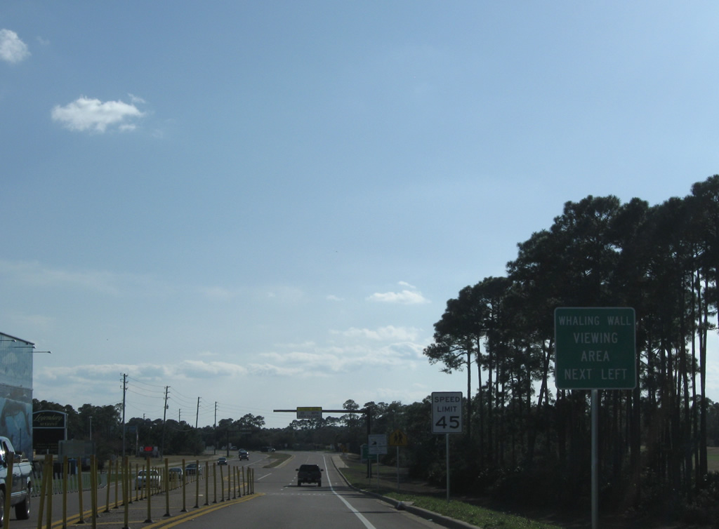
Toll SR 293 again reduces to a super-two freeway ahead of Rocky Creek.
05/22/14
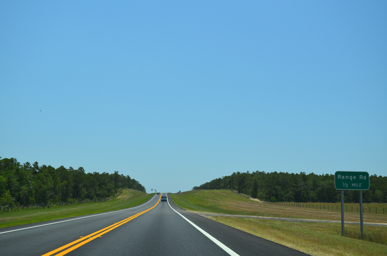
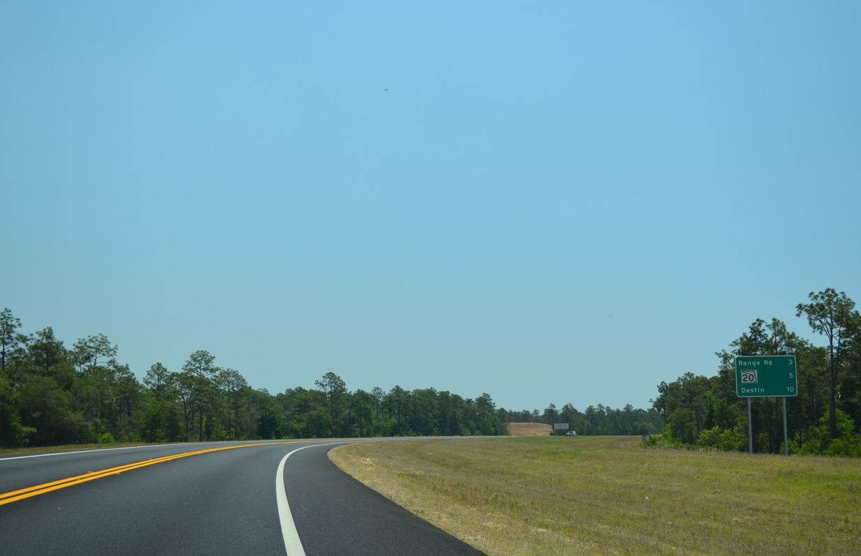
A diamond interchange joins SR 293 with Range Road in one half mile.
05/22/14
A wide grassy right of way will allow for expansion of the Mid-Bay Bridge Connector to four lanes when traffic counts warrant.
05/22/14
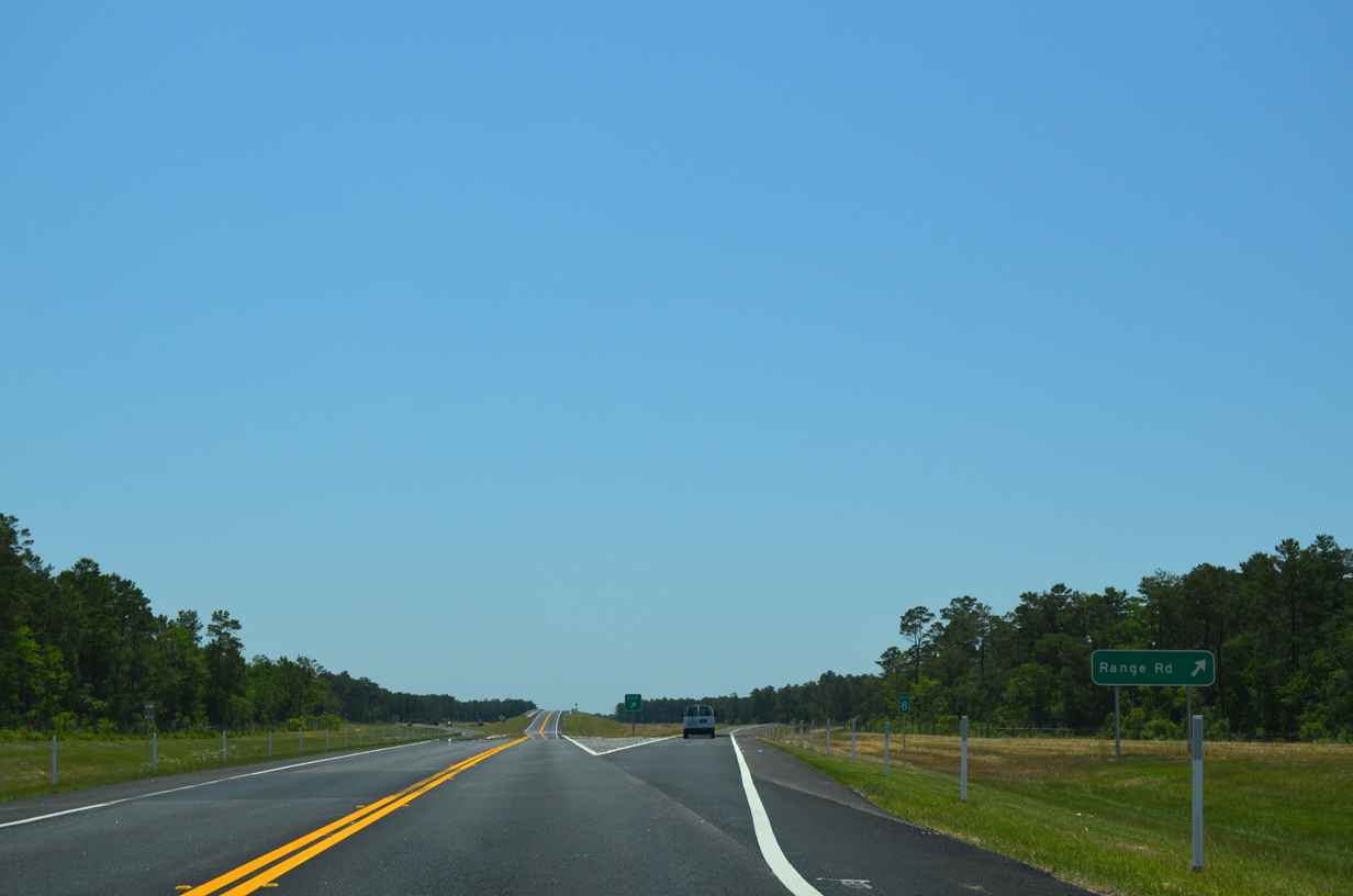
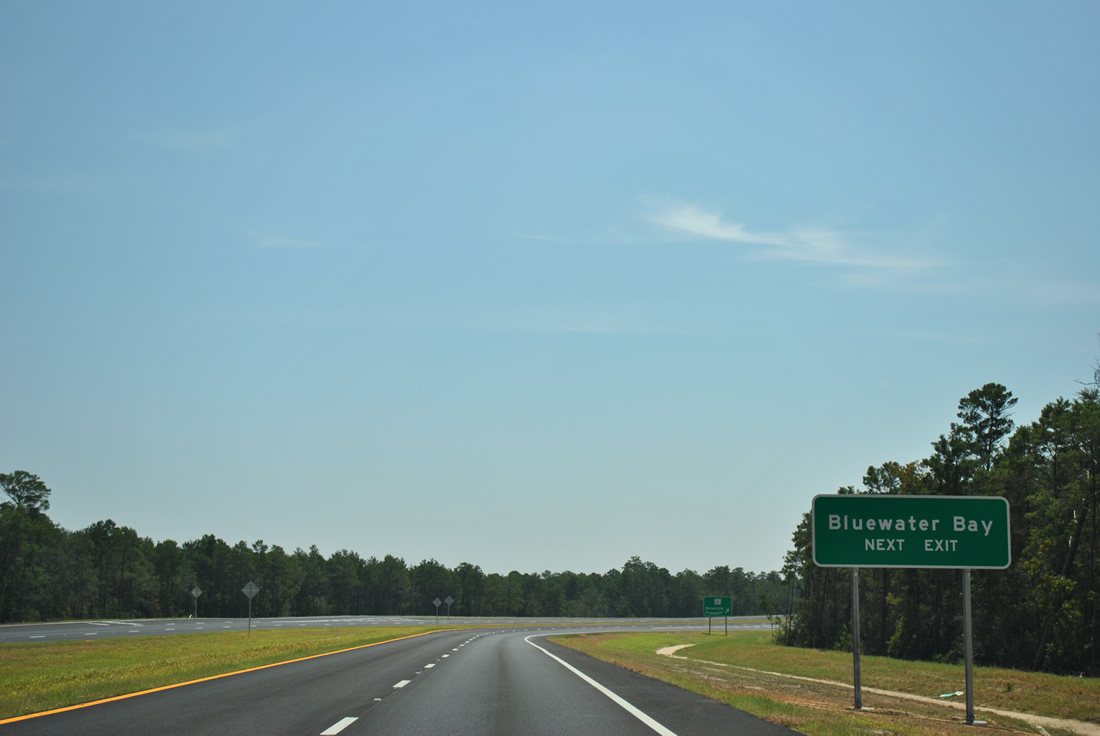
Range Road heads west by the Seminole community to SR 20 by Bluewater Bay. East of SR 293, the road enters Eglin Air Force Base as a restricted road.
05/22/14
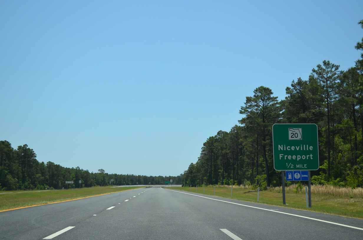
SR 293 expands to four lanes from Range Road south to the single point urban interchange (SPUI) with SR 20. SR 20 joins Niceville with Freeport along the northern periphery of Choctawhatchee Bay.
05/22/14
SR 20 ventures west as the main east-west arterial of Niceville. The state road was expanded to four lanes from White Point Road (former SR 293) eastward to the Walton County line in 2011. SR 20 lines the east side of Bluewater Bay, a golf course community beyond White Point Road.
09/16/11
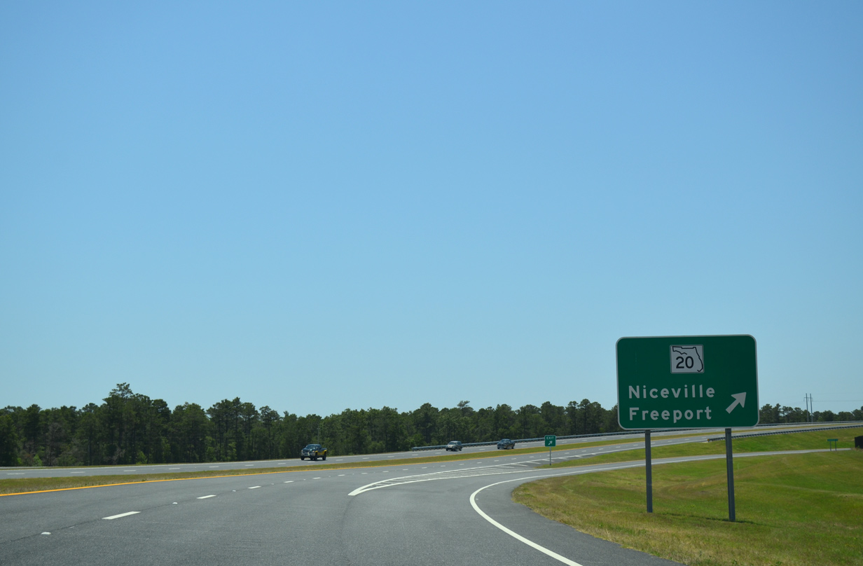
Southbound at the off-ramp for SR 20 on SR 293 south. SR 20 ends at SR 85, 6.6 miles to the west in Niceville. Eastward the route heads to Tallahassee as an independent route before joining U.S. 27 south as its hidden counterpart to High Springs.
05/22/14
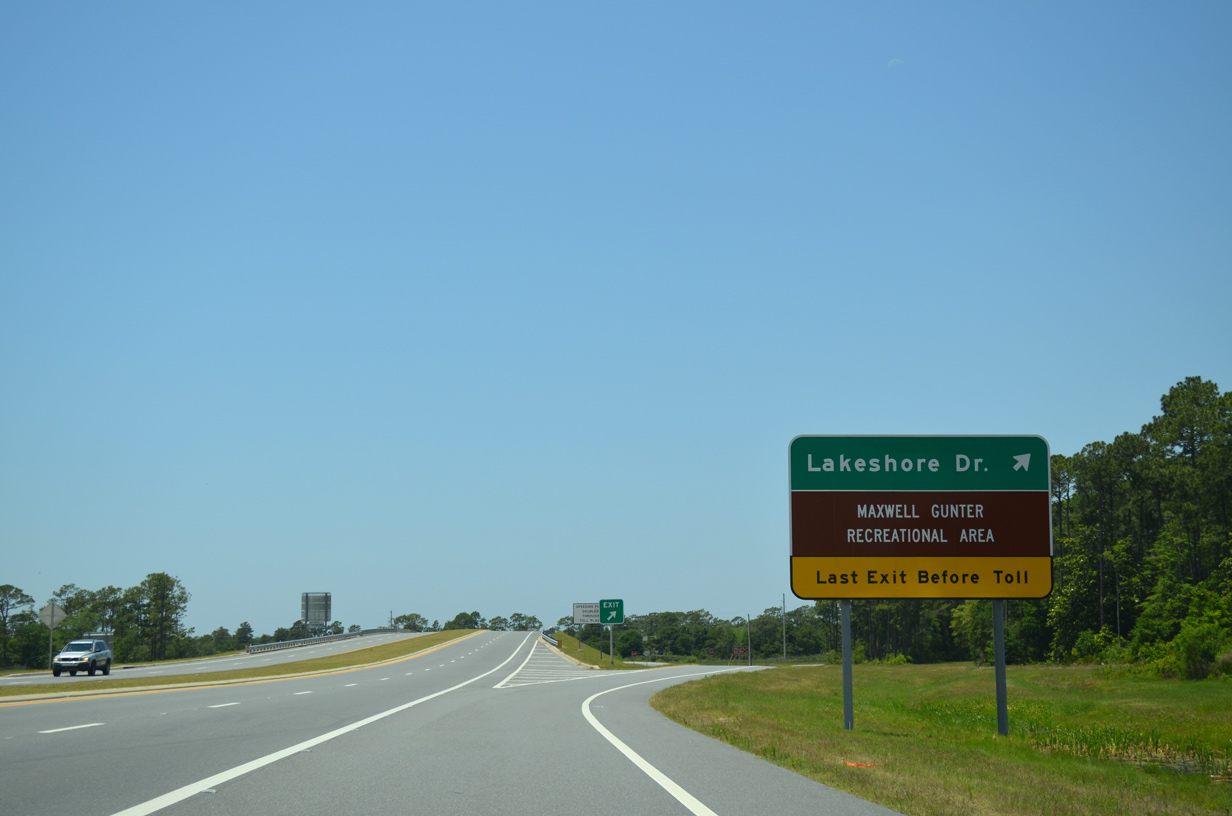
Continuing toward the Mid-Bay Bridge, SR 293 approaches the diamond interchange with Lakeshore Drive.
05/22/14
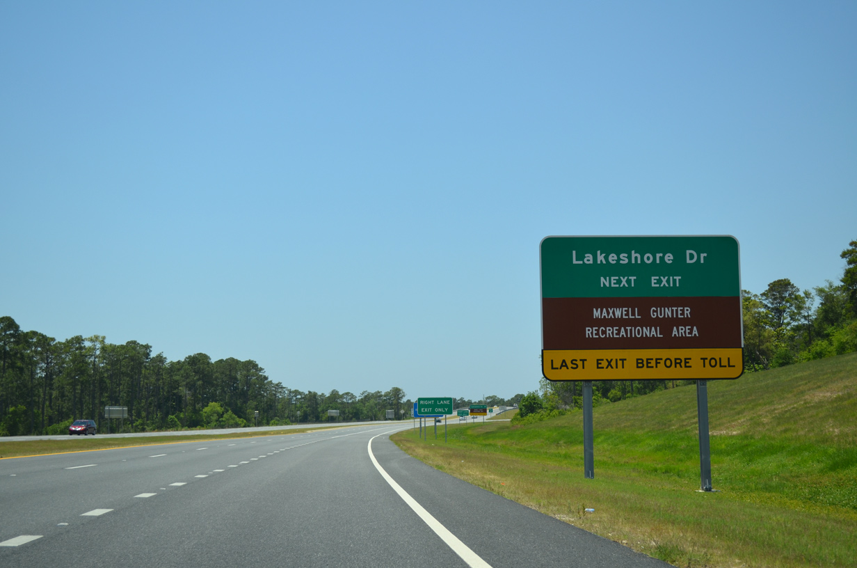
The portion of SR 293 between Range Road and Lakeshore Drive is toll free. Lakeshore Drive is a local road connecting the Mid-Bay Bridge Connector with White Point Road to the west and Pippin Lake to the east.
05/22/14
SR 293 turns southward from Lakeshore Drive and enters the Mid-Bay Bridge toll plaza in one mile.
05/22/14
Southbound SR 293 at the Lakeshore Drive off-ramp. Lakeshore Drive provides access to former SR 293 along White Point Road. White Point Road originally led directly to the Mid-Bay Bridge, but that connection was severed with the May 12, 2011 opening of the Connector north to SR 20.
05/22/14
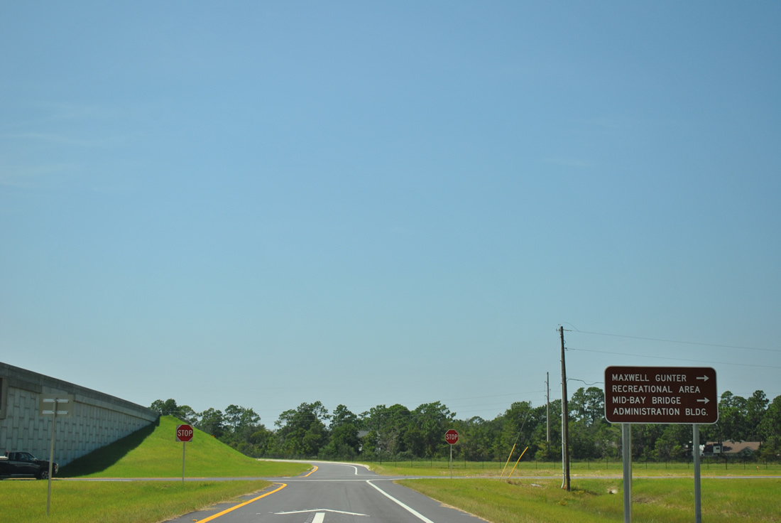
White Point Road south from Lakeshore Drive serves the Mid-Bay Bridge Administration Building, located just west of the toll plaza and Maxwell-Gunter Recreation Area of Elgin Air Force Base.
09/16/11
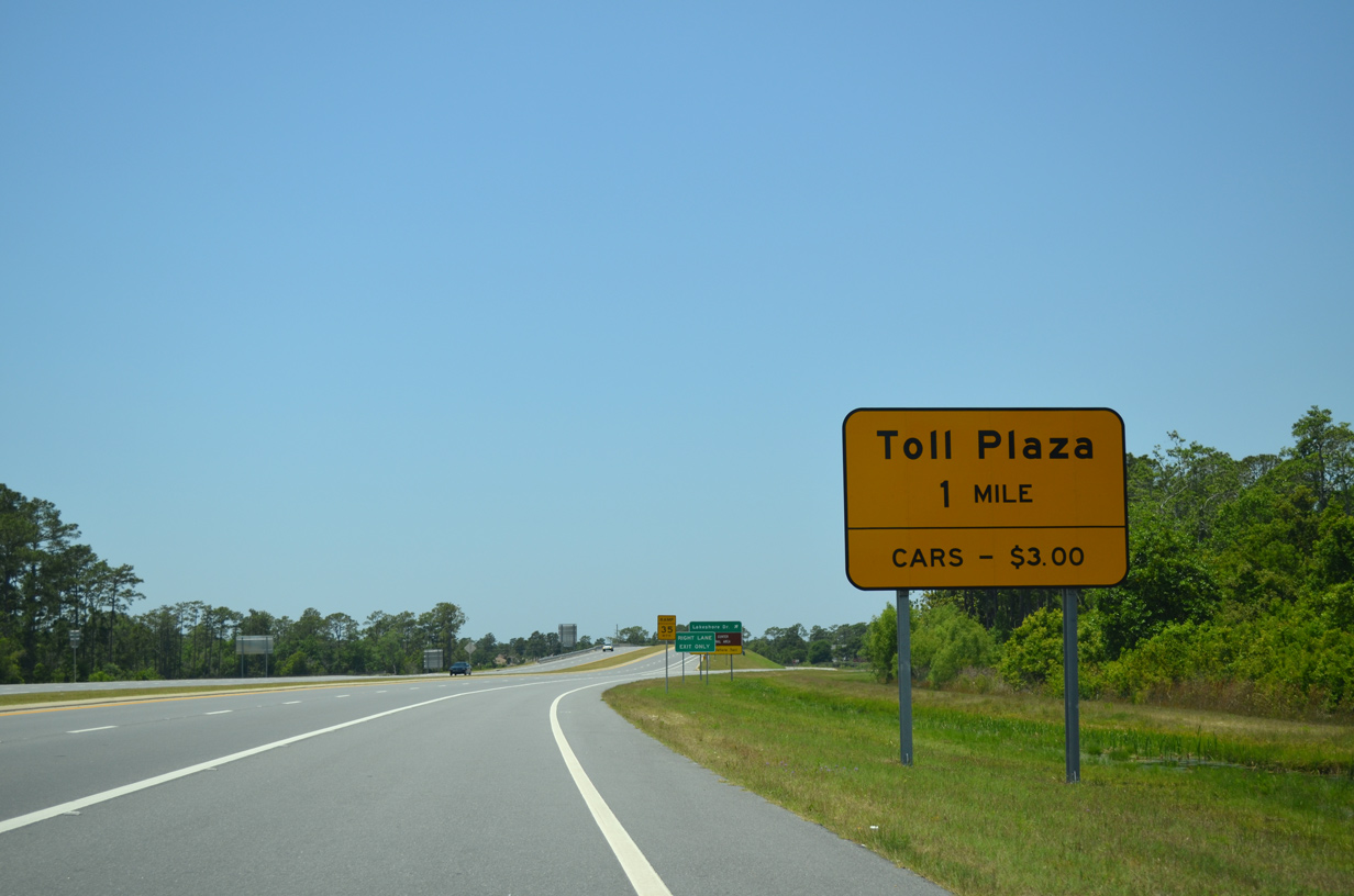
Entering the Mid-Bay Bridge main line toll plaza. Passenger vehicles are charged $3.00 to cross the bridge as of July 1, 2010.
02/13/10
A stub just south of the toll plaza will accommodate a future twin span of the bridge, which may be built by 2025.
02/13/10
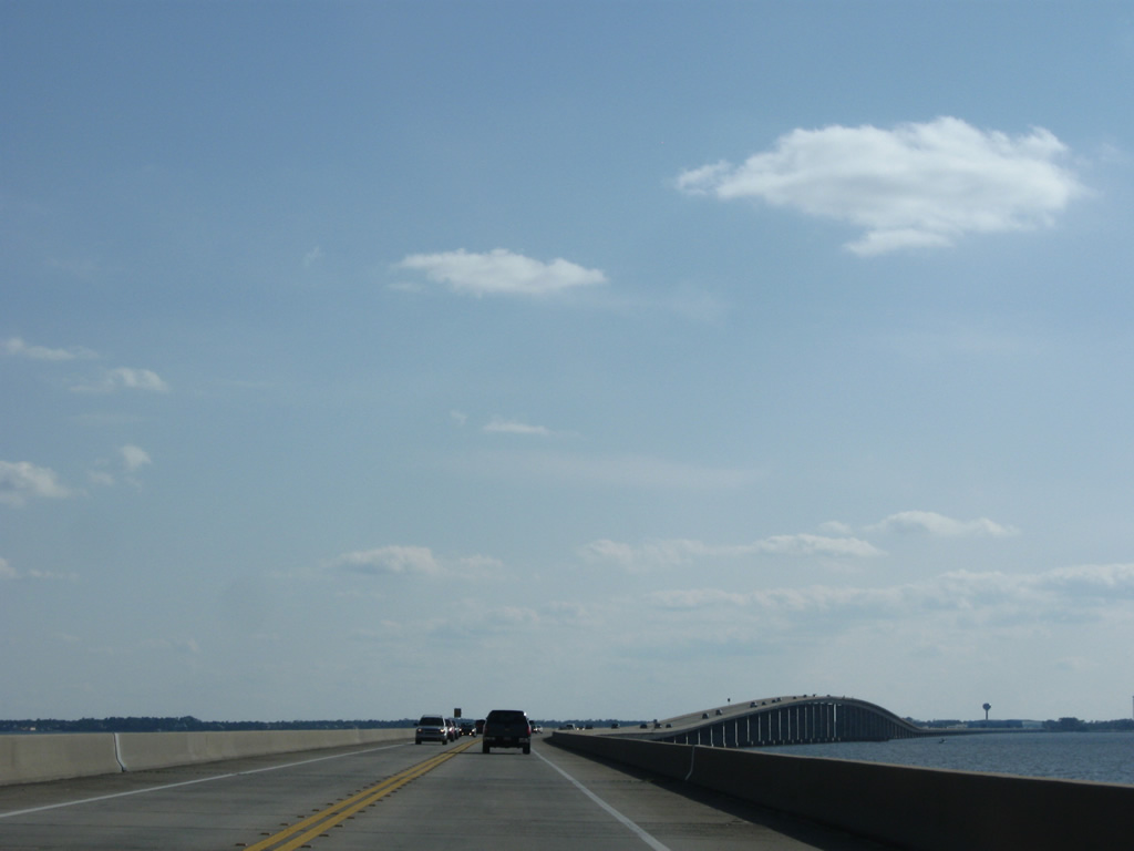
The Mid-Bay Bridge curves southwestward after leaving the north shore of Choctawhatchee Bay east of White Point.
02/13/10

Looking west at the expanse of Choctawhatchee Bay toward Shalimar and Fort Walton Beach.
02/13/10
The navigation crest rises to a height of 65 feet above the Intracoastal Waterway of Choctawhatchee Bay.
02/13/10
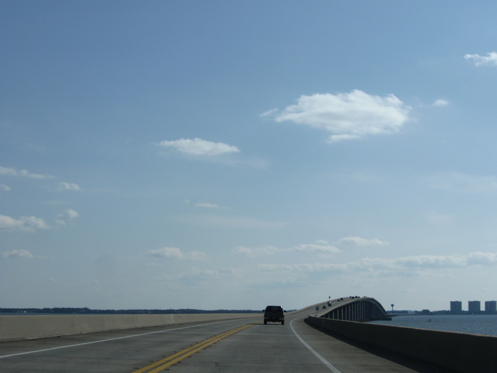
Another curve awaits southbound motorists as SR 293 leaves the Mid-Bay Bridge just east of Piney Point for Destin.
02/13/10
Just south of the bridge end is the turn for Regatta Bay Bridge and a school zone for Destin Middle School.
02/13/10
SR 293 expands into a four lane divided arterial to Destin Commons and U.S. 98 at Hutchinson Street.
02/13/10
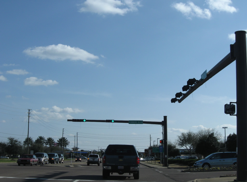
Commons Boulevard links SR 293 with Destin Commons to the east. The boulevard constitutes a service road to the west, serving numerous retail business north of U.S. 98.
02/13/10
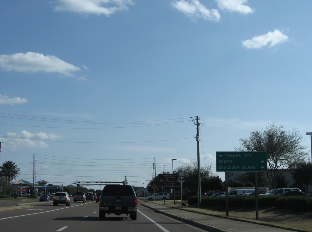
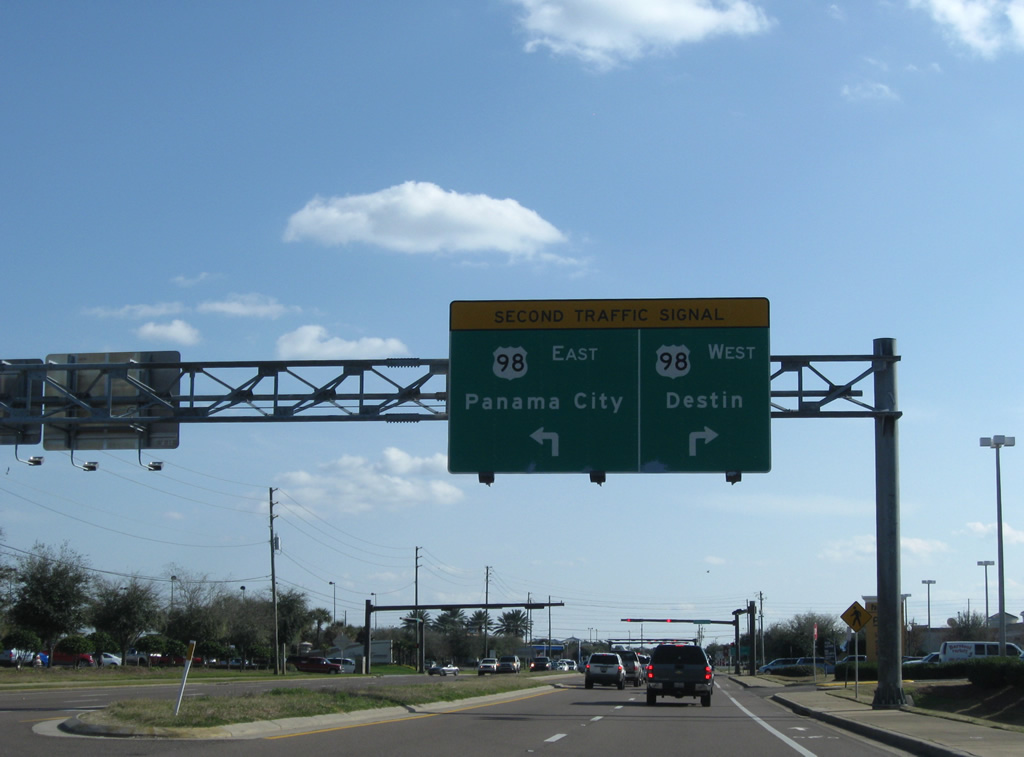
U.S. 98 provides the main route from Destin west to Okaloosa Island and Fort Walton Beach and east to Sandestin and Panama City Beach.
02/13/10
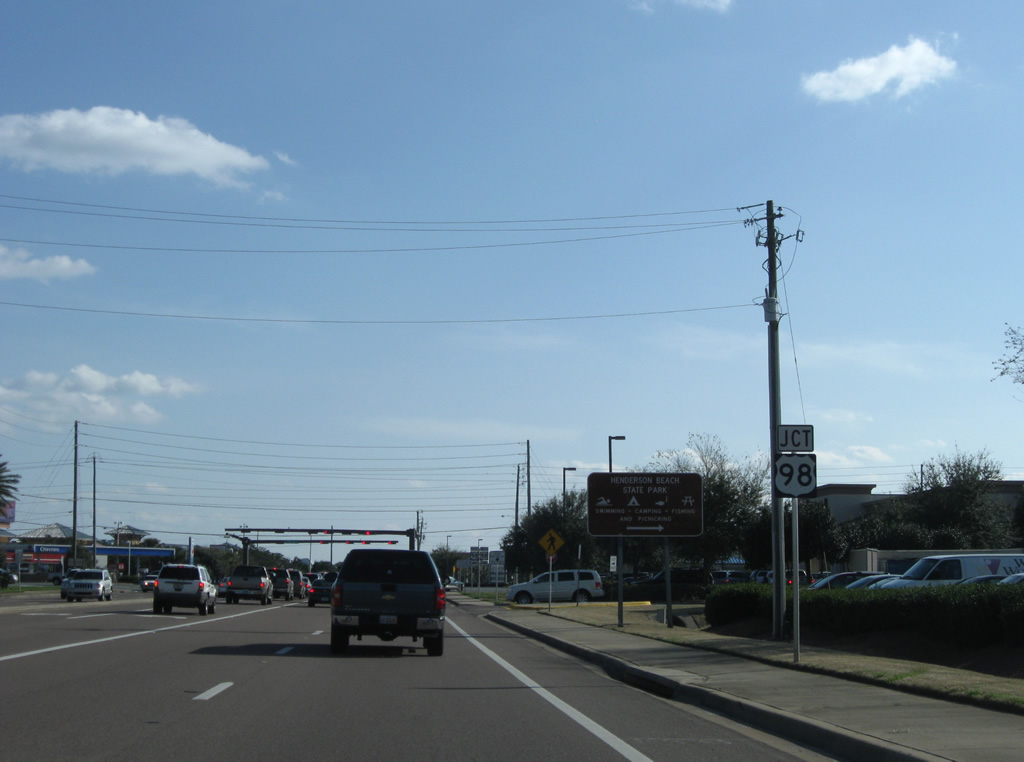
Henderson Beach State Park lies just south of U.S. 98 to the west.
02/13/10
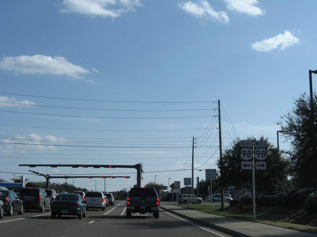
U.S. 98 comprises a busy commercial arterial in either direction from the end of SR 293. Hutchinson Street spurs south from the SR 293 end to Scenic 98 (County Road 2378), the former coastal alignment of U.S. 98.
02/13/10
Photo Credits:
- ABRoads: 02/13/10, 09/16/11, 05/22/14
Connect with:
Page Updated Friday November 14, 2014.