
State Road 401
State Road 401 spurs 2.200 miles north from Cape Canaveral to Cape Canaveral Space Force Station. The four lane arterial spans the Canaveral Barge Canal north from a trumpet interchange with SR A1A/528 (Astronaut Boulevard) to Port Canaveral Cruise Terminals 5, 6, 8 & 10. Straddling the banks of the Banana River, SR 401 heads east the Port Canaveral Container Terminal, Seaport Canaveral Fuel Terminal, and the gate for Kennedy Space Center on Canaveral Peninsula.
 North
North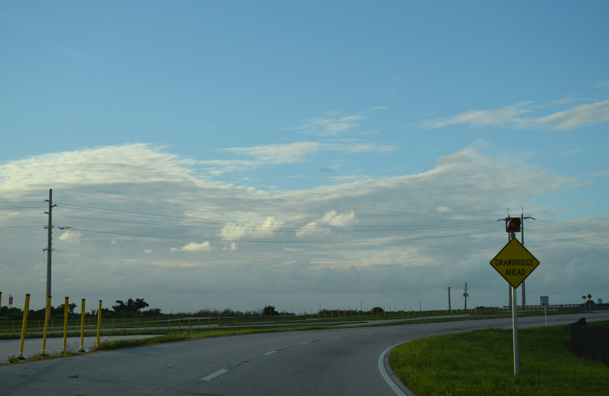
Ramps from SR A1A/528 (Astronaut Boulevard) combine north ahead of three drawbridges spanning the Canaveral Barge Canal.
09/28/13
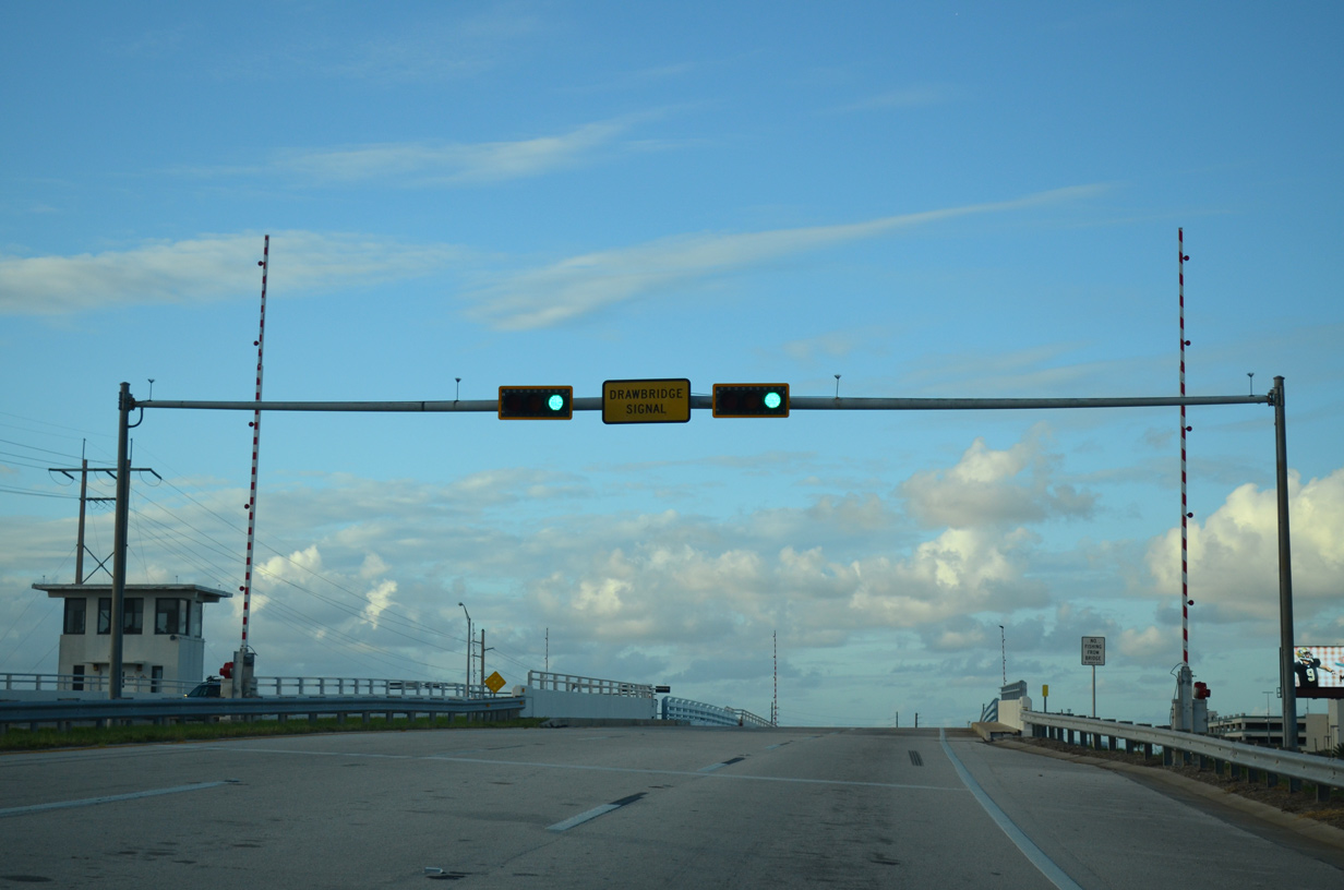
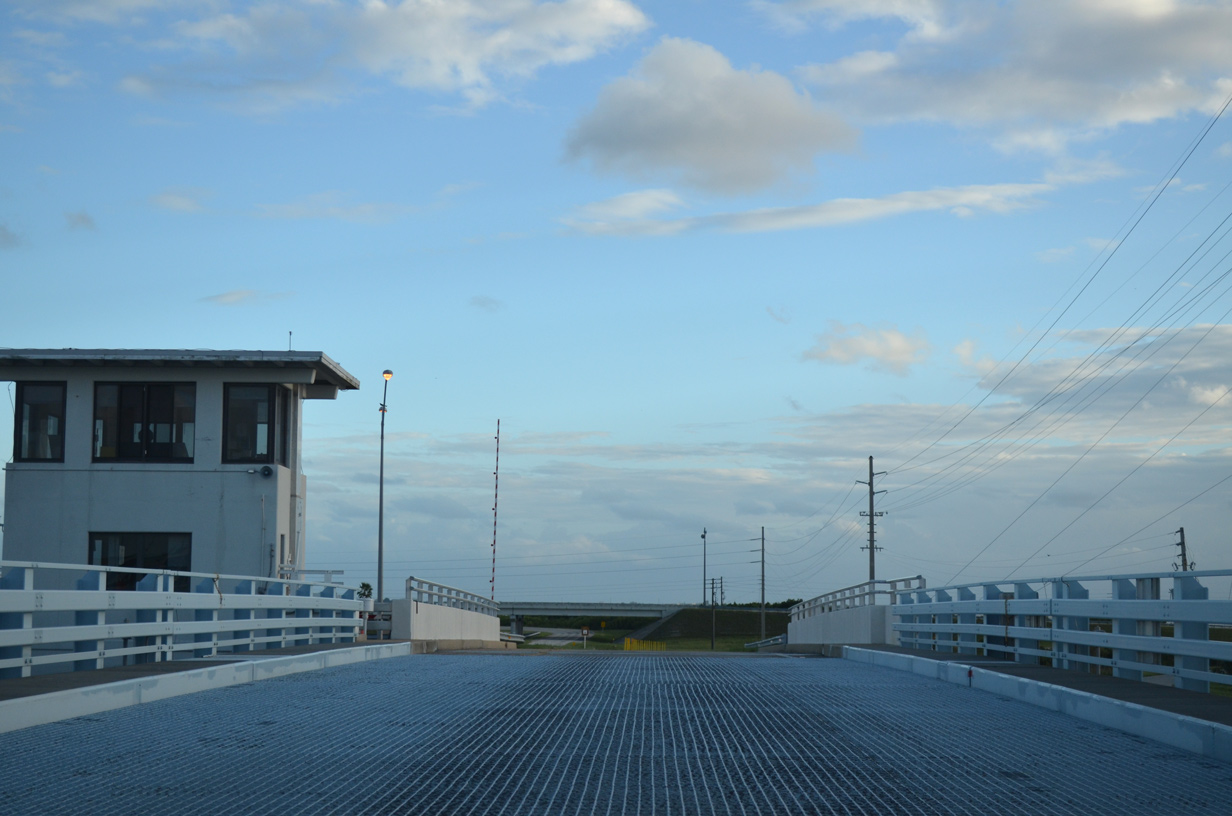
The northbound double leaf bascule bridge across the Canaveral Barge Canal on SR 401 was built in 1972. The 313.7 foot long span accommodates 24 feet of vertical clearance.1
09/28/13
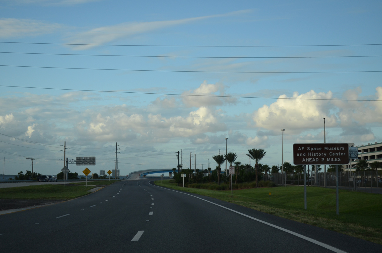
Samuel C. Phillips Parkway extends east from the end of SR 401 to Spaceport Way and the Sands Space History Center.
09/28/13
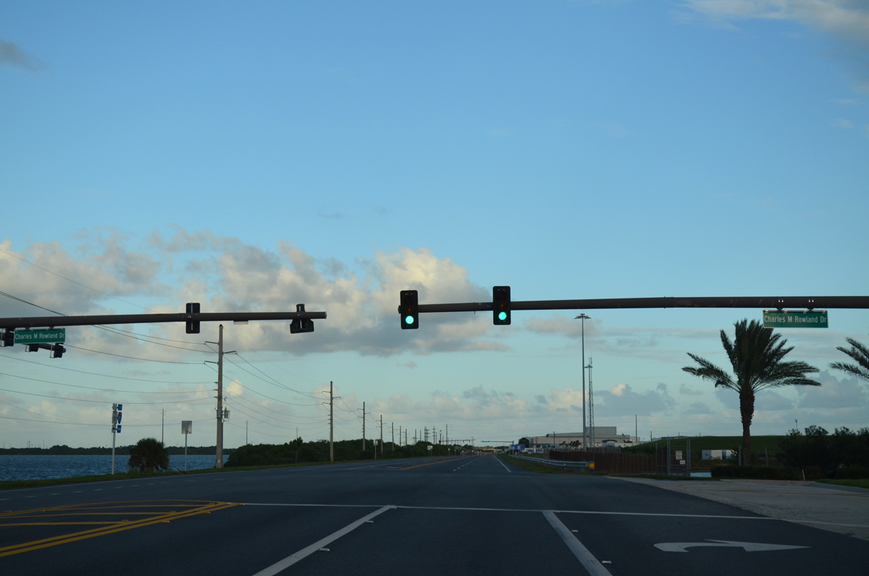
The succeeding turnoff along SR 401 northbound connects with Port Canaveral Cruise Terminals 8 and 10 via Charles M. Rowland Drive.
09/28/13
Completed in 2002, a flyover links Charles M. Rowland Drive with SR 401 southbound.
09/28/13
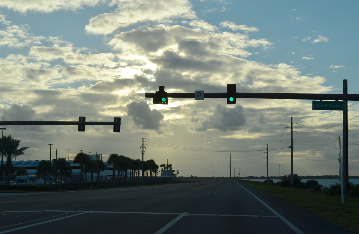
Charles M. Rowland Drive intersects SR 401 north from Port Canaveral Cruise Terminals 5 and 6.
09/28/13
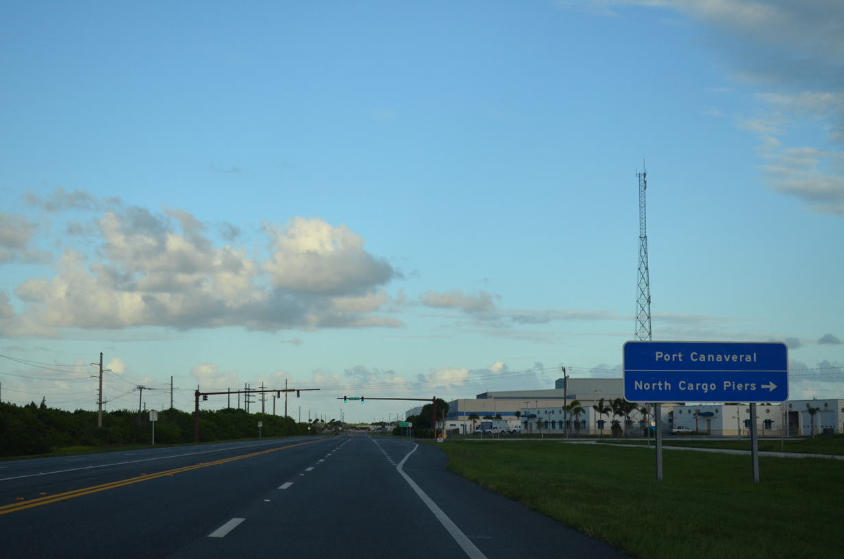
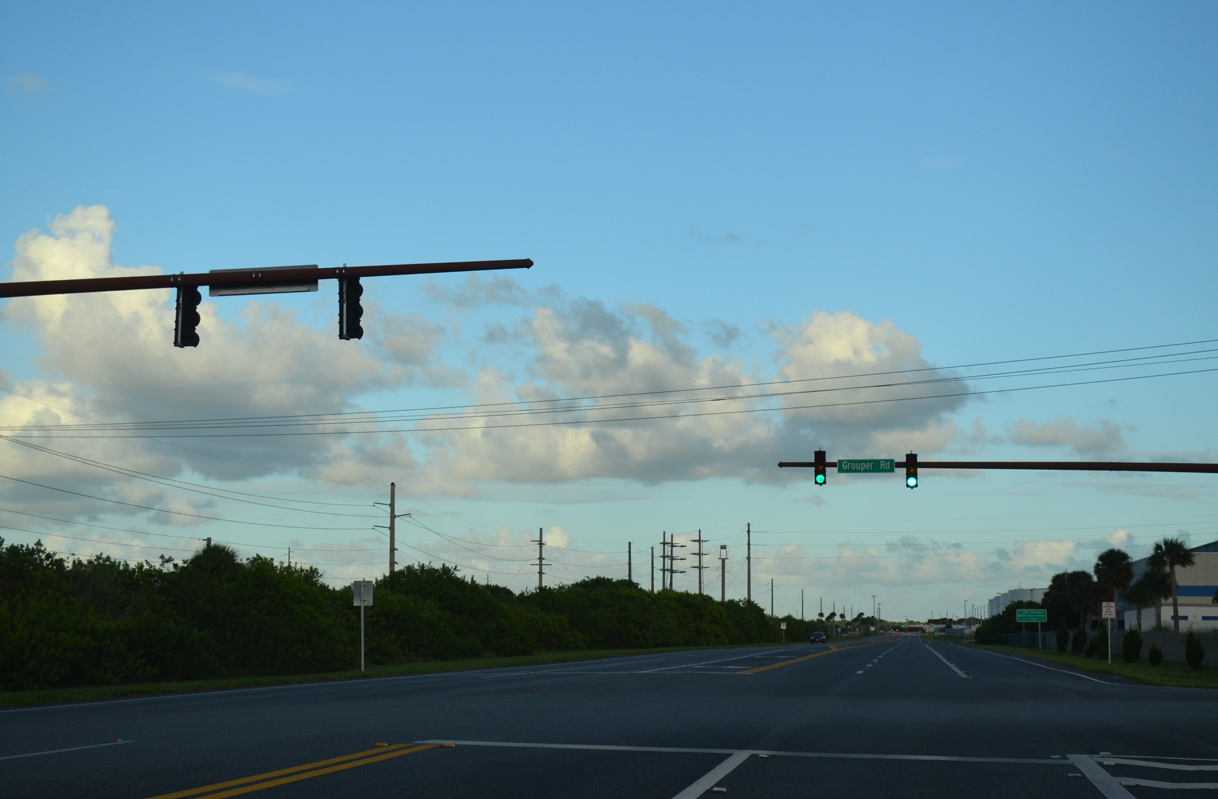
Grouper Road stems south from the ensuing traffic light on SR 401 to the Port Canaveral Container Terminal.
09/28/13
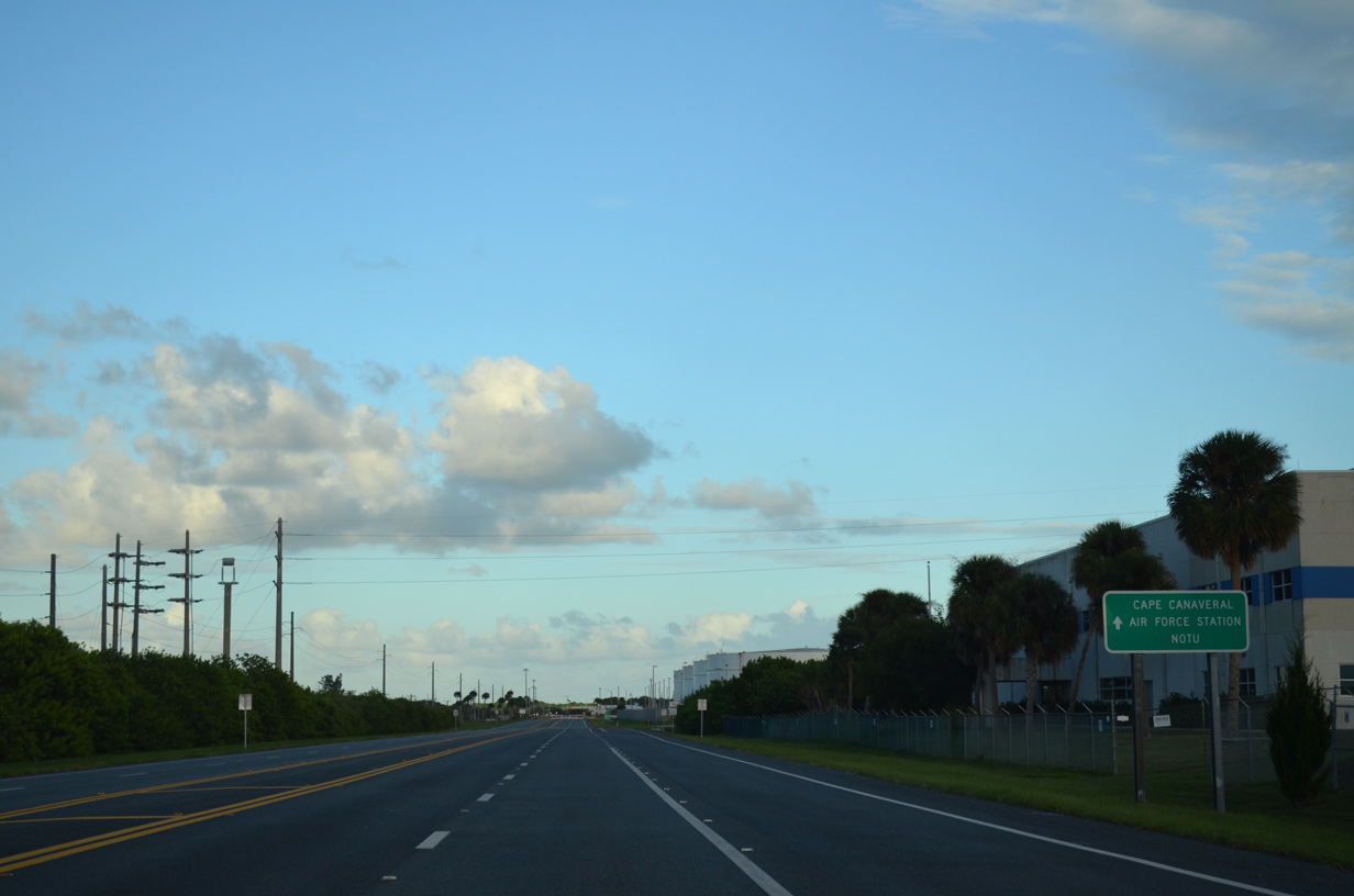
SR 401 concludes a half mile east of Grouper Road at the entrance to Cape Canal Space Force Station and the Naval Ordnance Test Unit (NOTU).
09/28/13
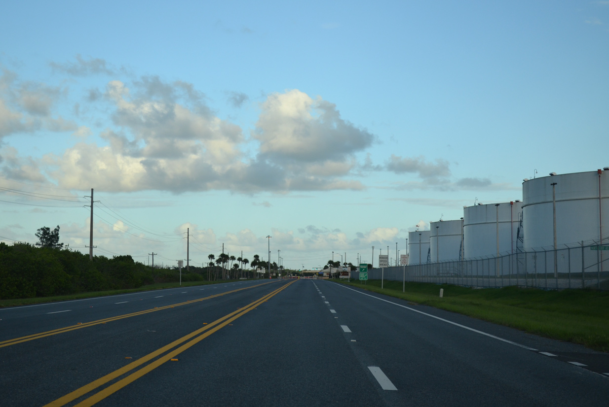
SR 401 intersects Payne Way south to the North Intermodal Gate and proceeds alongside the Seaport Canaveral Fuel Terminal to Samuel C. Phillips Parkway.
09/28/13
South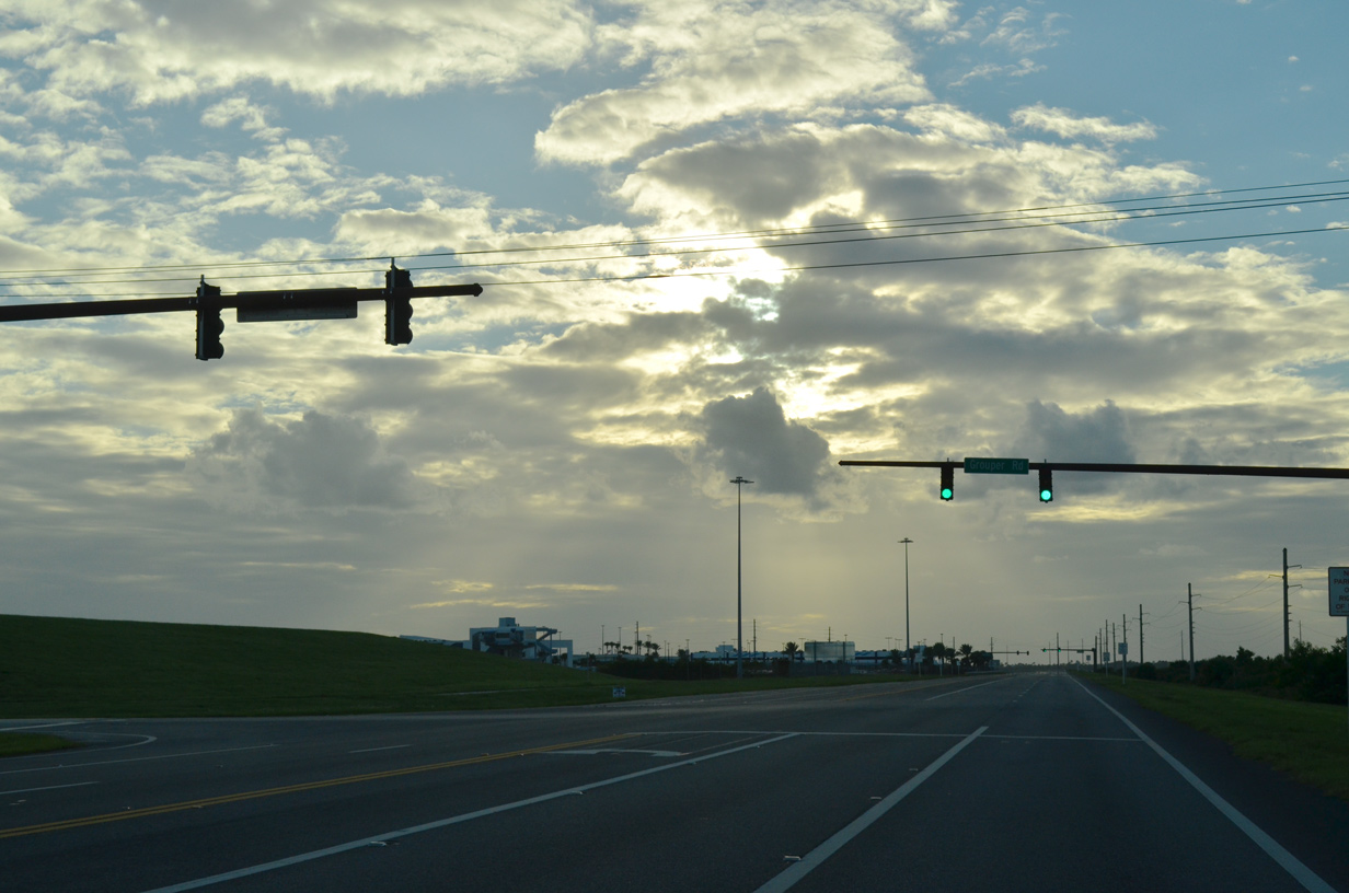
SR 401 south at Grouper Road to the Port Canaveral Container Terminal.
09/28/13
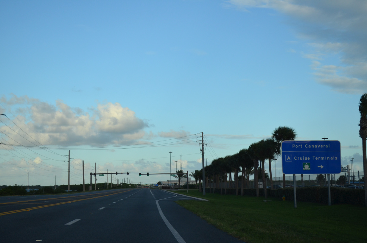
Charles M. Rowland Drive connects SR 401 with parking garages for the Port Canaveral Cruise Terminals.
09/28/13
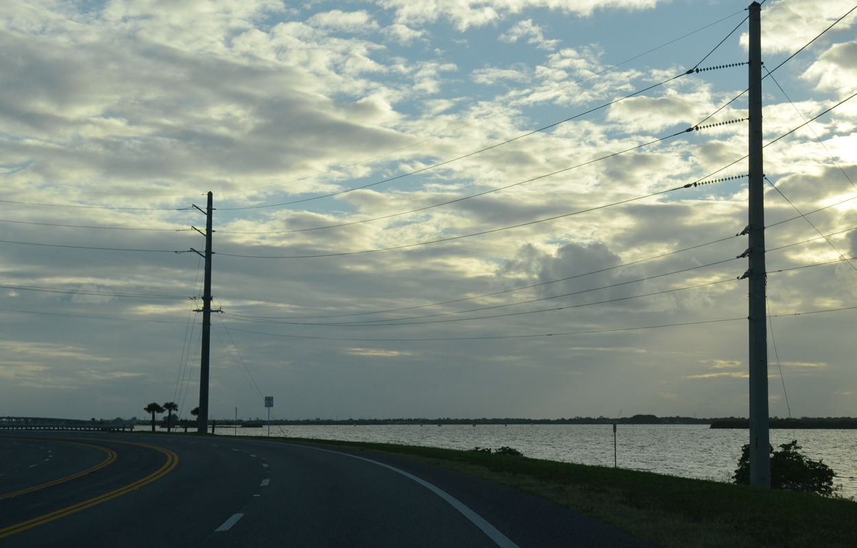
SR 401 arcs southward along a strip of land between the Banana River and the West Turning Basin at Port Canaveral.
09/28/13
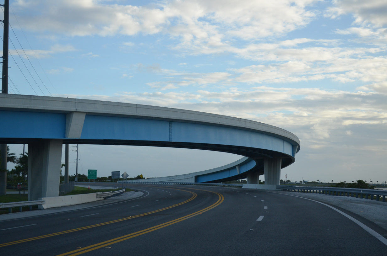
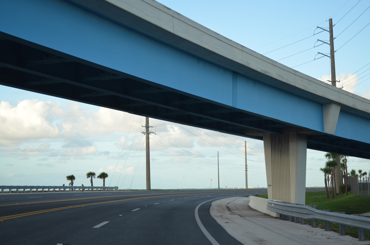
Passing under the flyover from Charles M. Rowland Drive onto SR 401 southbound.
09/28/13
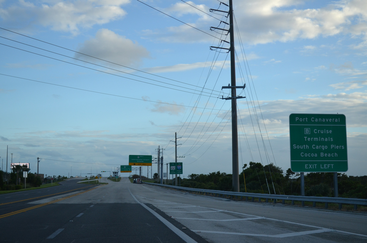
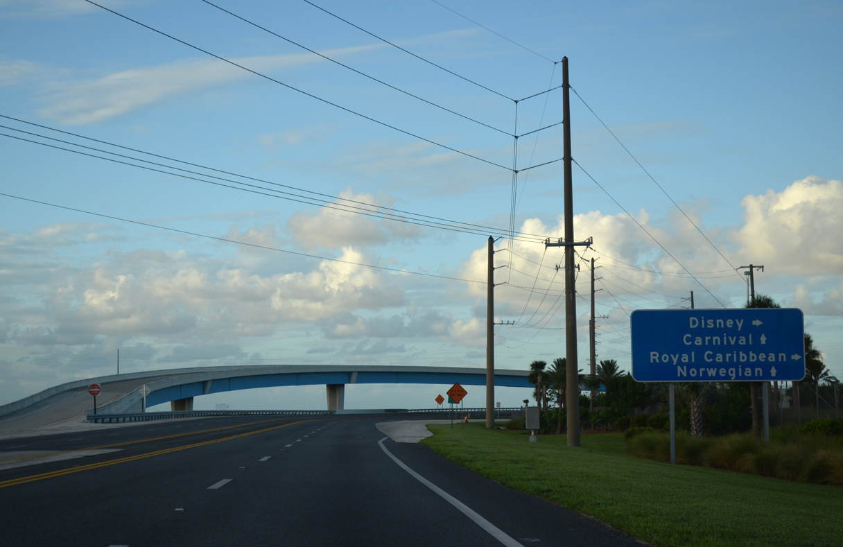
Continuing south toward SR A1A (Astronaut Boulevard), the ensuing left exit leads to Port Canaveral Cruise Terminals 1 and 2, the Port Authority Maritime Center and Jetty Park.
09/28/13
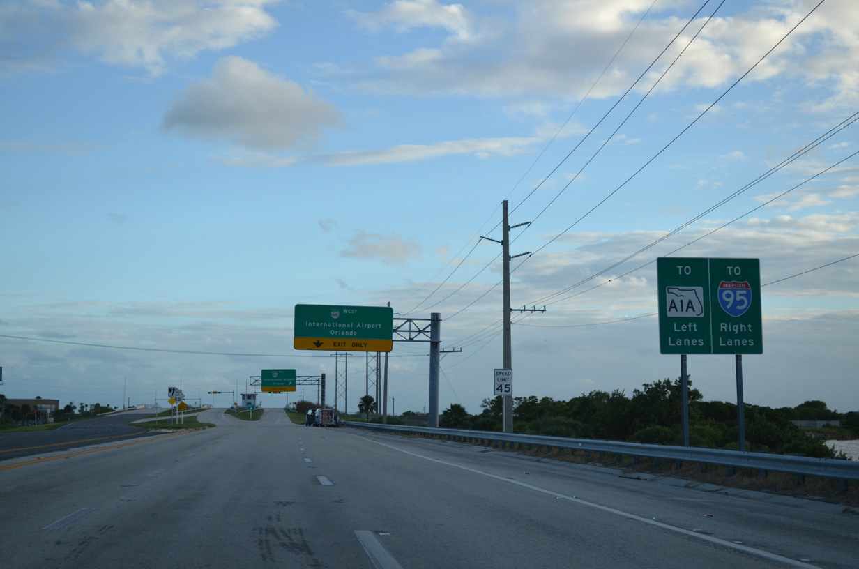
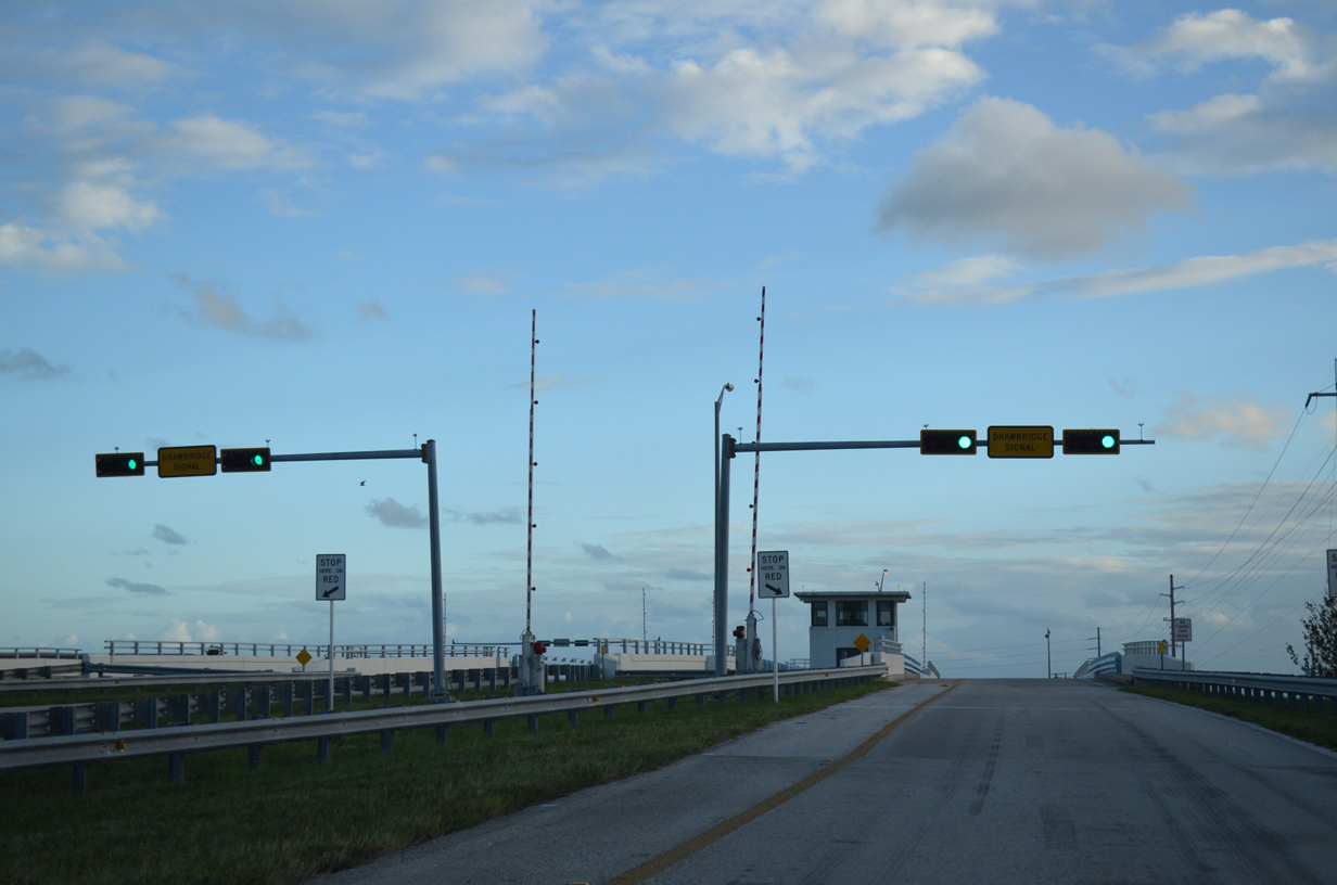
Southbound SR 401 partitions onto separate draw bridges across the Canaveral Barge Canal for the ramps to SR A1A (Astronaut Boulevard) south and SR A1A/528 (Bennett Causeway) west.
09/28/13
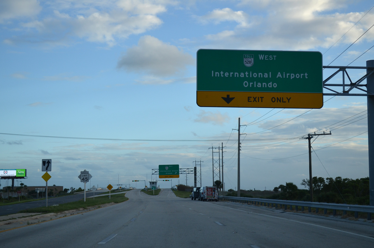
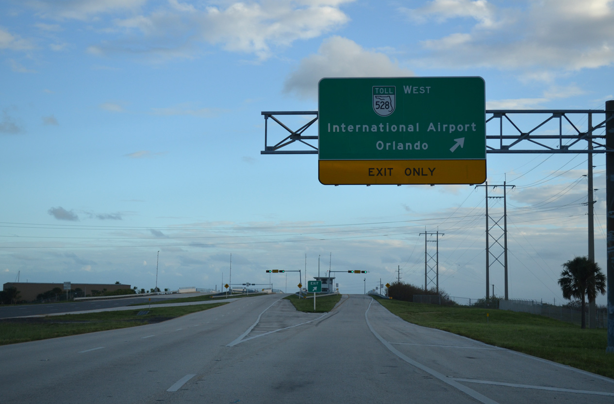
SR 528 (Martin Andersen Beachline Expressway) originates at the exchange with SR 401 and travels 53 miles west to Interstate 4 at Orlando.
09/28/13
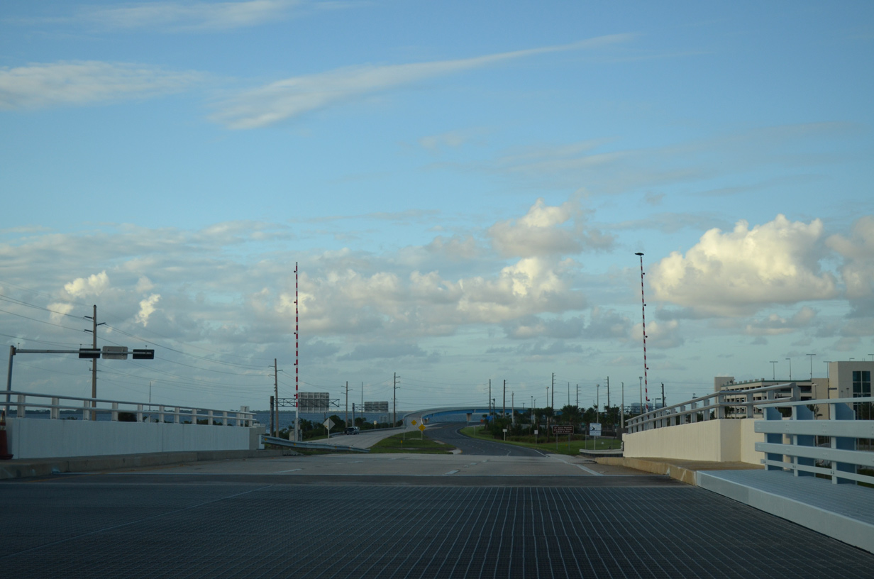
The westbound on-ramp for SR A1A/528 utilizes the outer bridge across the Canaveral Barge Canal. SR A1A/528 overlap west along Bennett Causeway to Merritt Island and U.S. 1 at the city of Cocoa.
09/28/13
The southbound bascule bridges over the Canaveral Barge Canal were constructed in 1963.
09/28/13
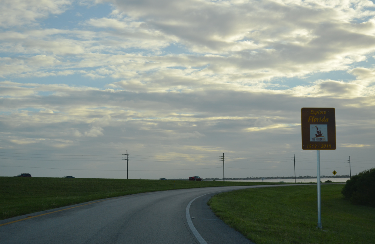
An Explore Florida sign stands along the ramp from SR 401 south to SR A1A/528 west for visitors entering Florida from the Port Canaveral Cruise Terminals.
09/28/13
References:
- SR-401 NB over Service Rd & Canal, Brevard County, Florida. http://bridgereports.com/1084289 BridgeReports.com
Photo Credits:
- ABRoads: 09/28/13
Connect with:
Page Updated Thursday April 25, 2019.