
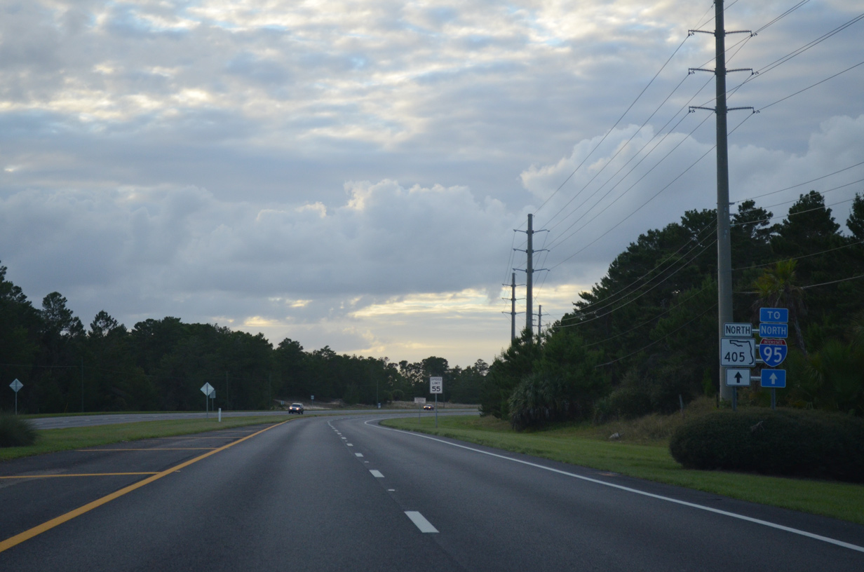
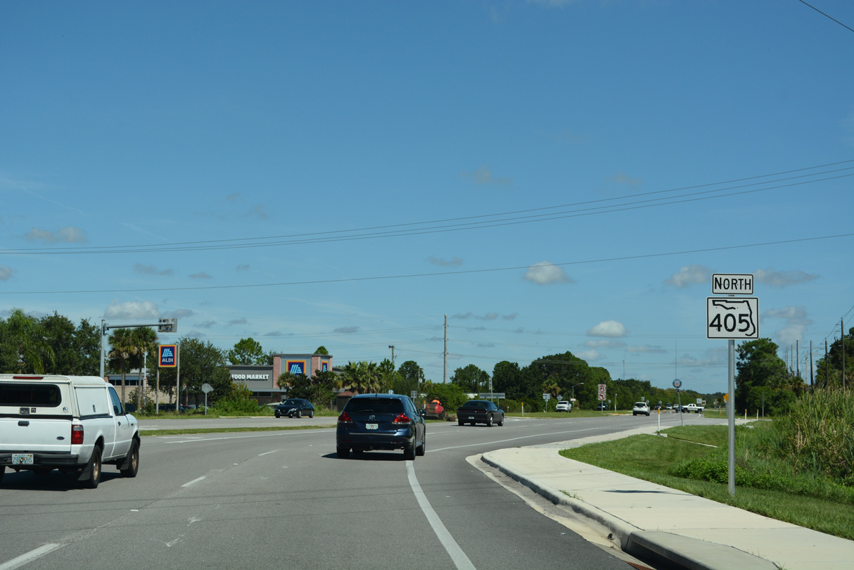
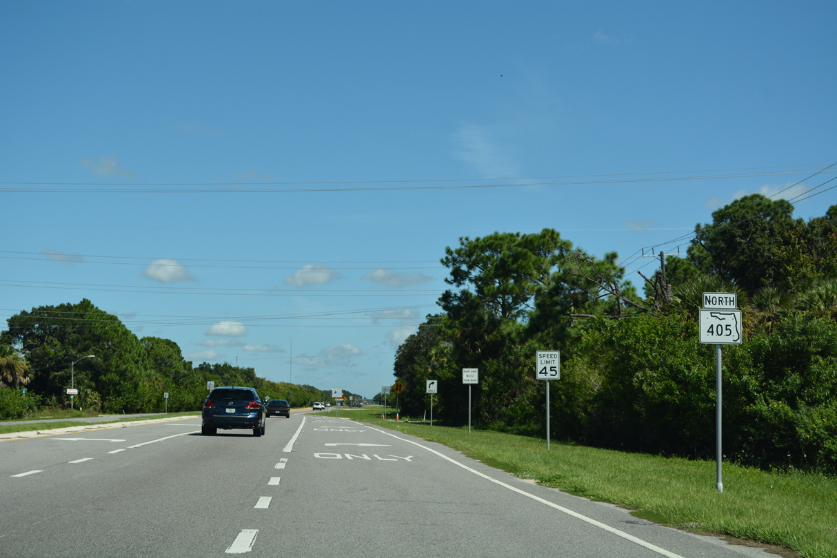
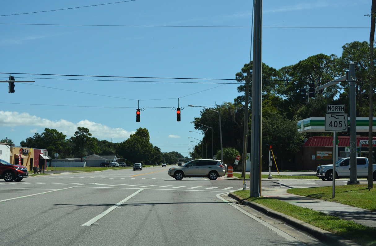
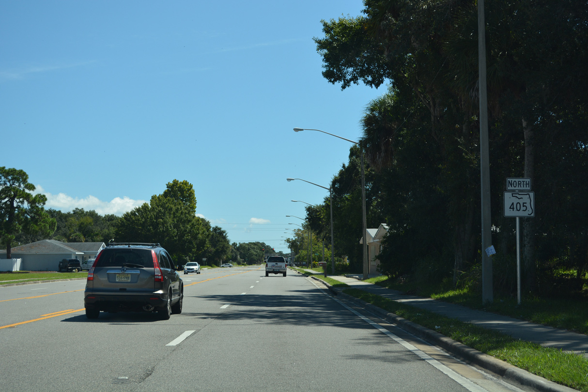
State Road 405 North

Exiting the Kennedy Space Center Visitor Complex onto Nasa Parkway.
10/20/18
NASA Causeway leads west from the Kennedy Space Center Visitor Complex and intersects SR 321 (Space Commerce Way) south to SR 3 (Kennedy Parkway).
10/20/18
NASA Parkway was added to the Florida State Road system west from SR 321 (Space Commerce Way) to the east end of the causeway across the Indian River in July 2025.
10/20/18
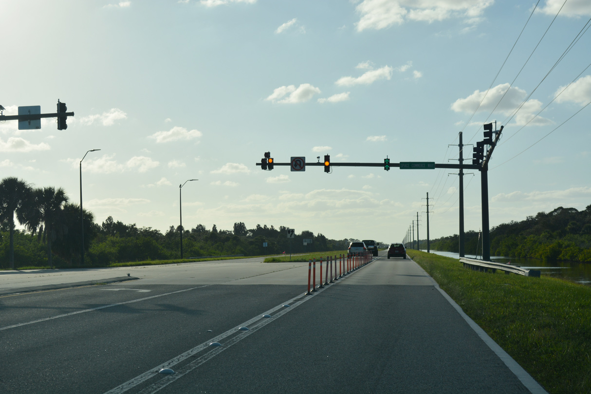
Space Commerce Way 2.67 miles south to the north end of SR 3 along Kennedy Parkway was designated SR 321 in May 2025.
10/20/18
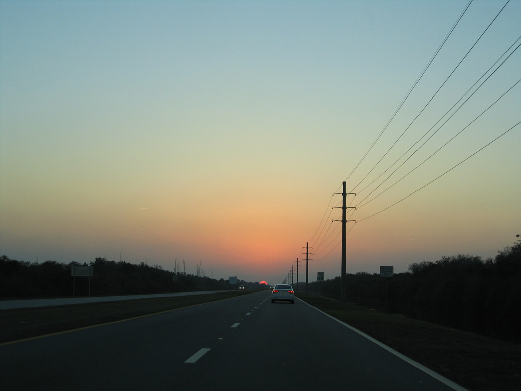
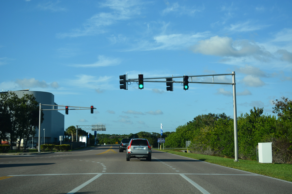
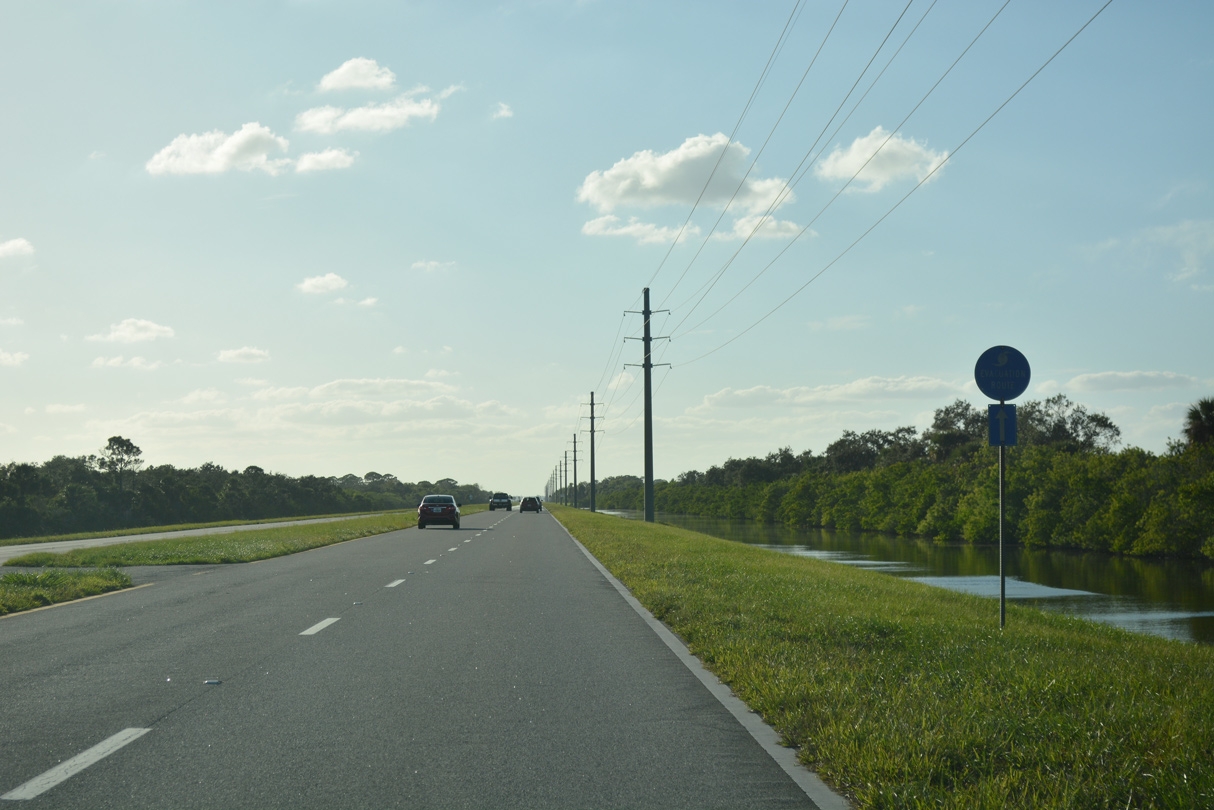
SR 405 overlays NASA Parkway west toward Indian River Lagoon.
03/18/06
10/20/18
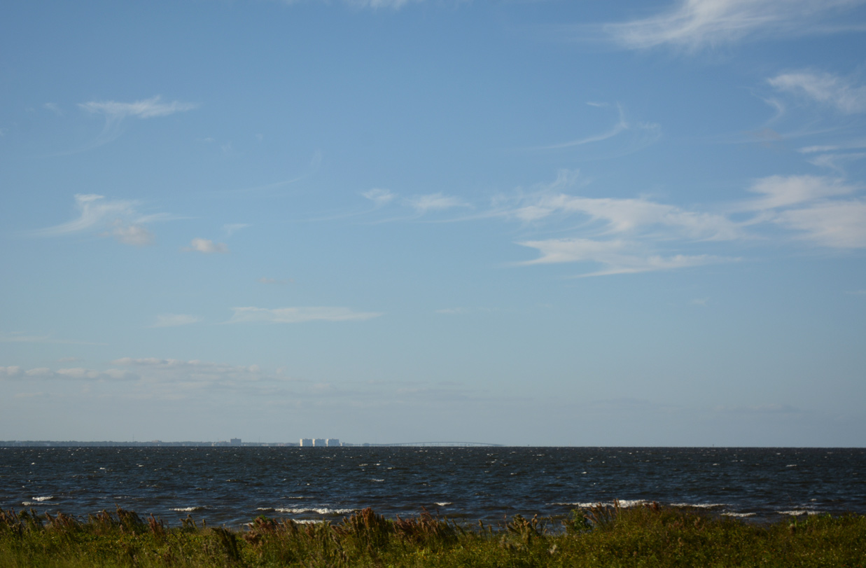
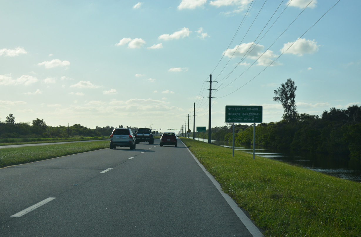
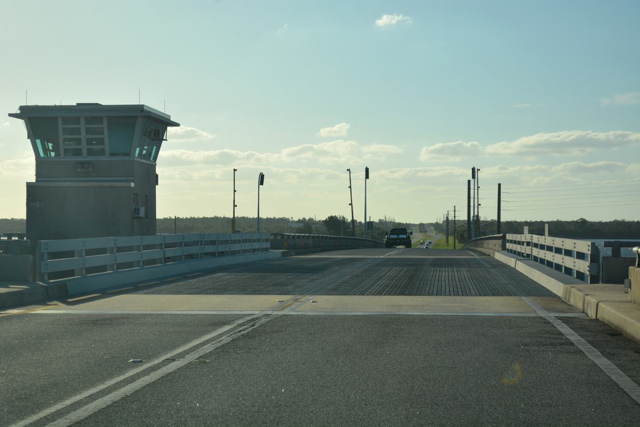
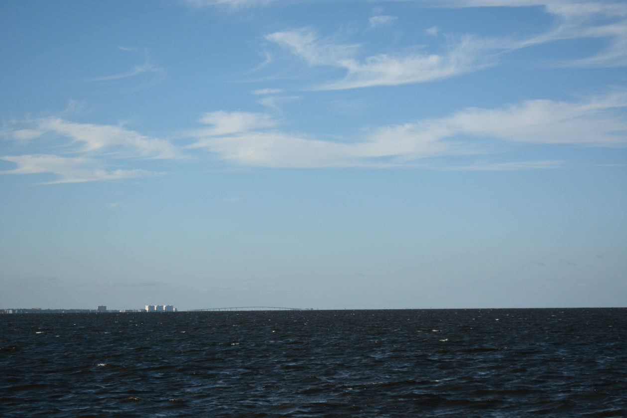
A. Max Brewer Memorial Parkway (CR 402) crosses the Indian River northeast from Downtown Titusville to Merritt Island National Wildlife Refuge in the distance.
10/20/18
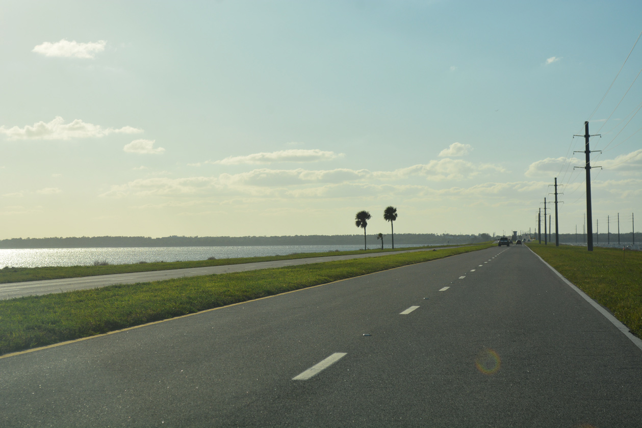
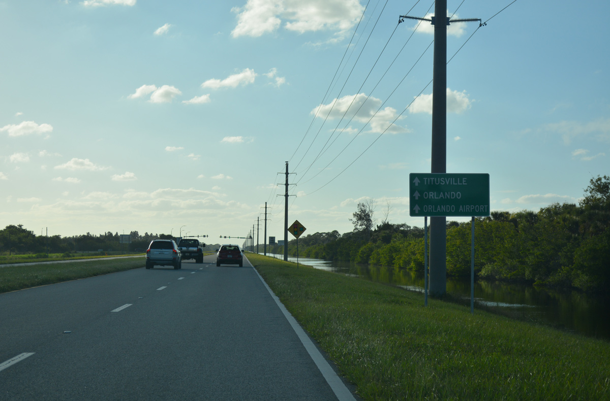
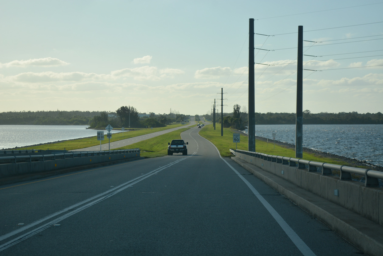
NASA Parkway continues along a narrow strip of land midway across the Indian River.
10/20/18
03/18/06
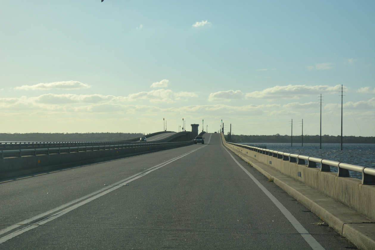
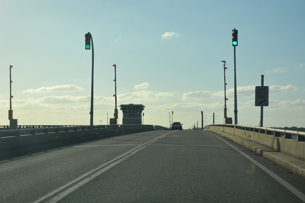
Prior to the $128 million project replacing the twin bascule bridges across the Indian River, a pair of 2,993-foot long spans crossed the main channel of the Indian River along NASA Causeway. The bridges were constructed in 1964 (Baughn, n.d.).
10/20/18
The double leaf bascule bridge along NASA Causeway rose to a height of 27.9 feet above the main shipping channel for the Indian River (Baughn, n.d.).
10/20/18
 North
North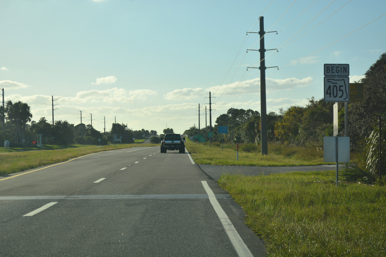
A begin shield for State Road 405 stands along NASA Causeway west at the turn off for Vectorspace Boulevard.
10/20/18
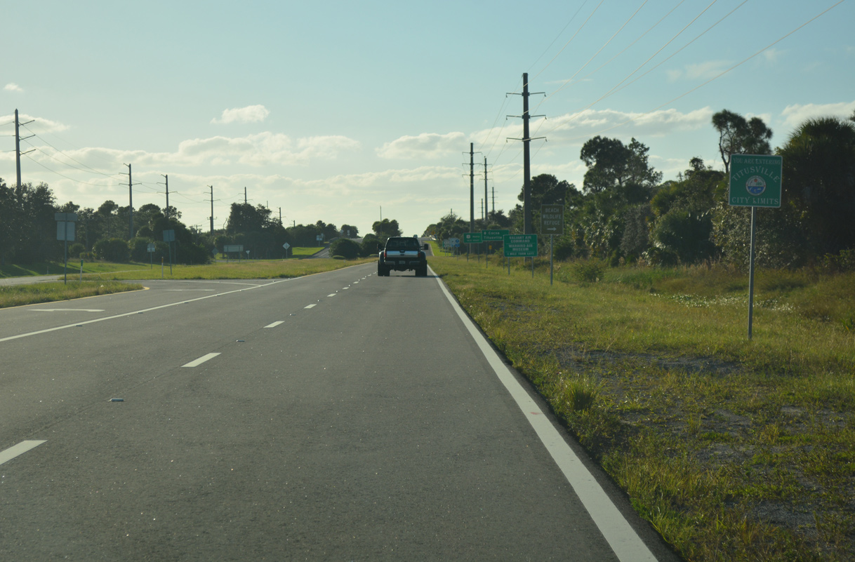
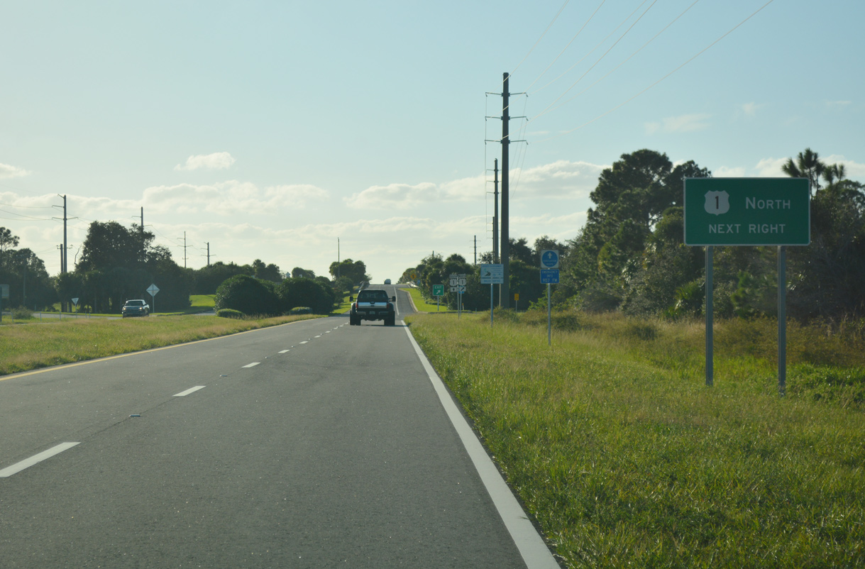
NASA Causeway enters the Titusville city limits ahead of the full cloverleaf interchange with U.S. 1 (Washington Avenue).
10/20/18
U.S. 1 (Washington Avenue) runs alongside the Florida East Coast (FEC) Railway north on the initial stretch to SR 50 (Cheney Highway) in Titusville.
10/20/18
U.S. 1 straddles the west shore of Indian River Lagoon leading into Downtown Titusville. The coastal route continues north from the city to Edgewater and New Smyrna Beach.
10/20/18
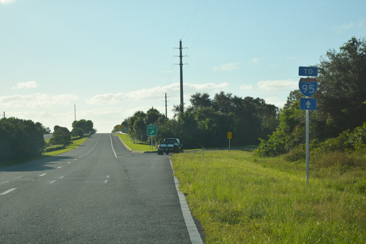
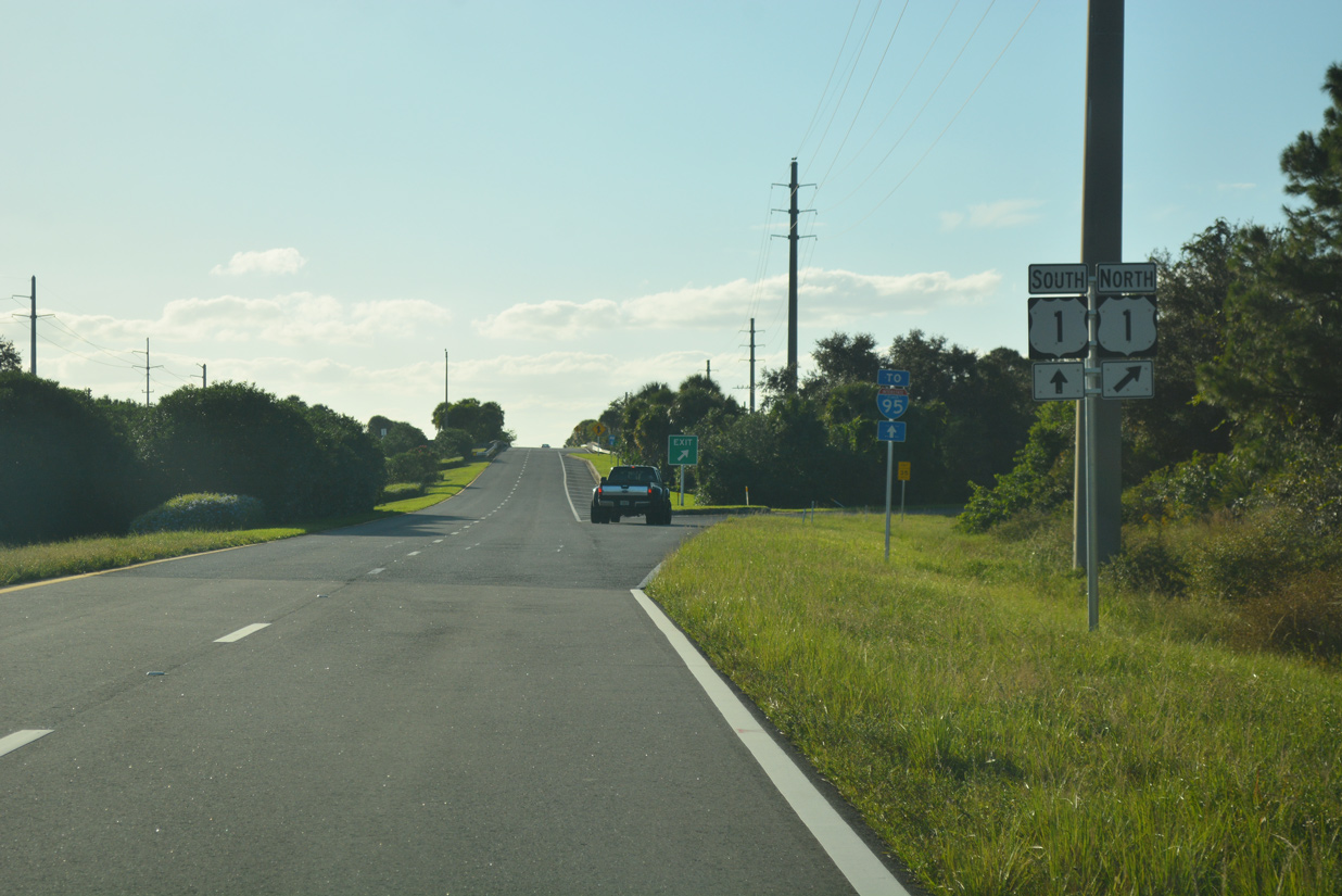
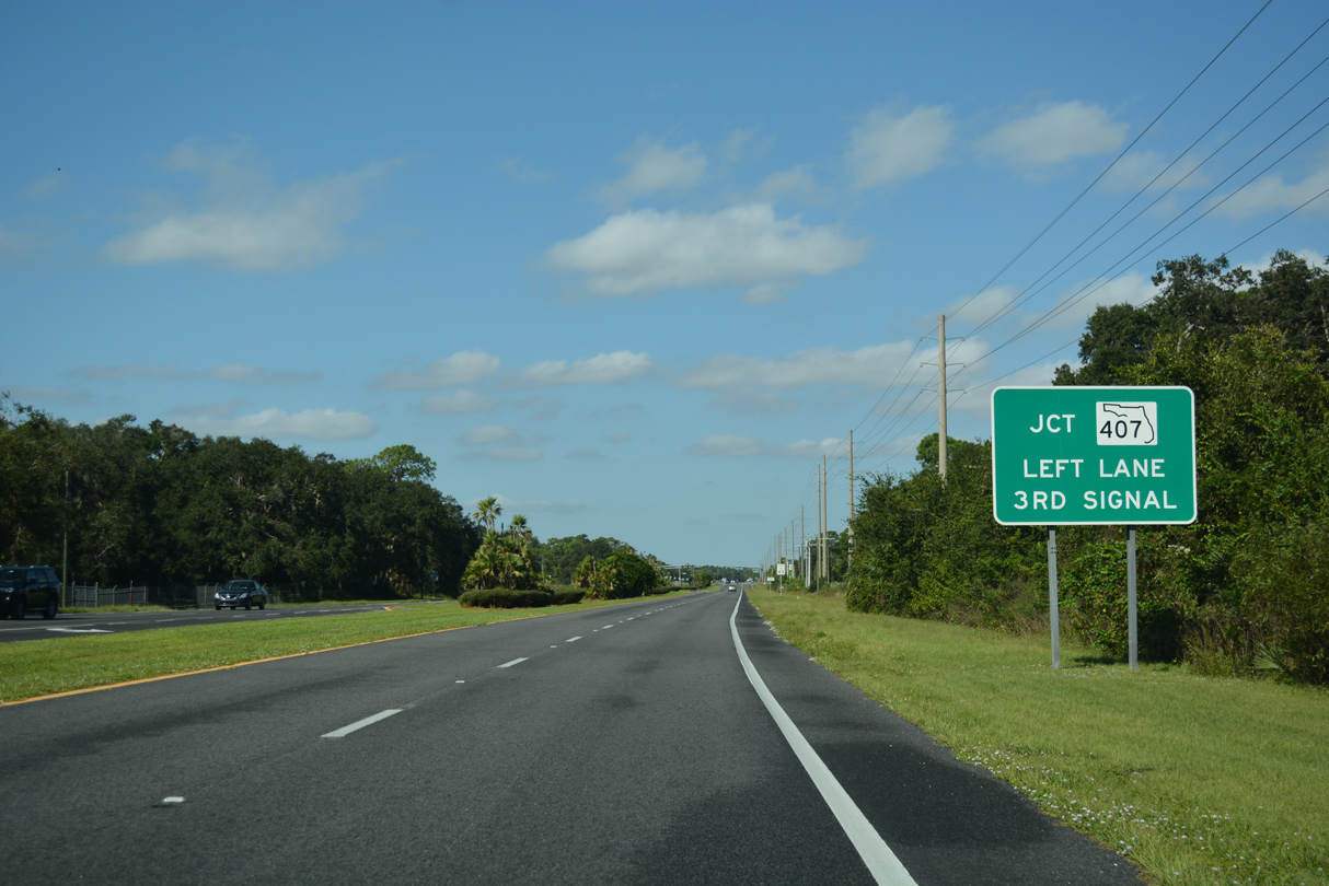
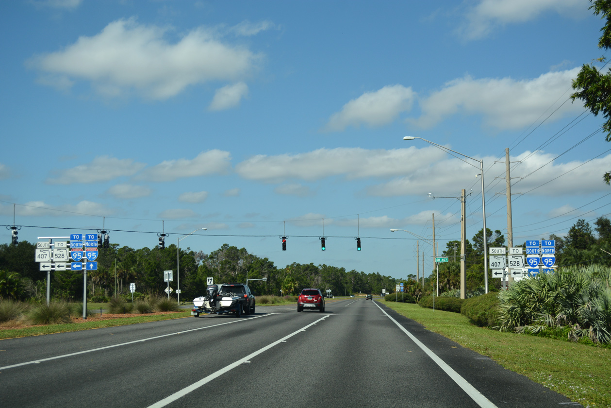
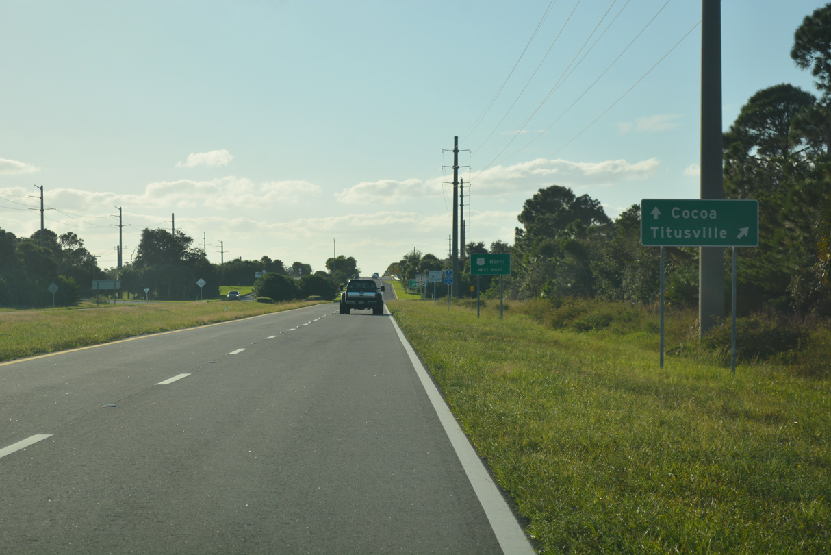
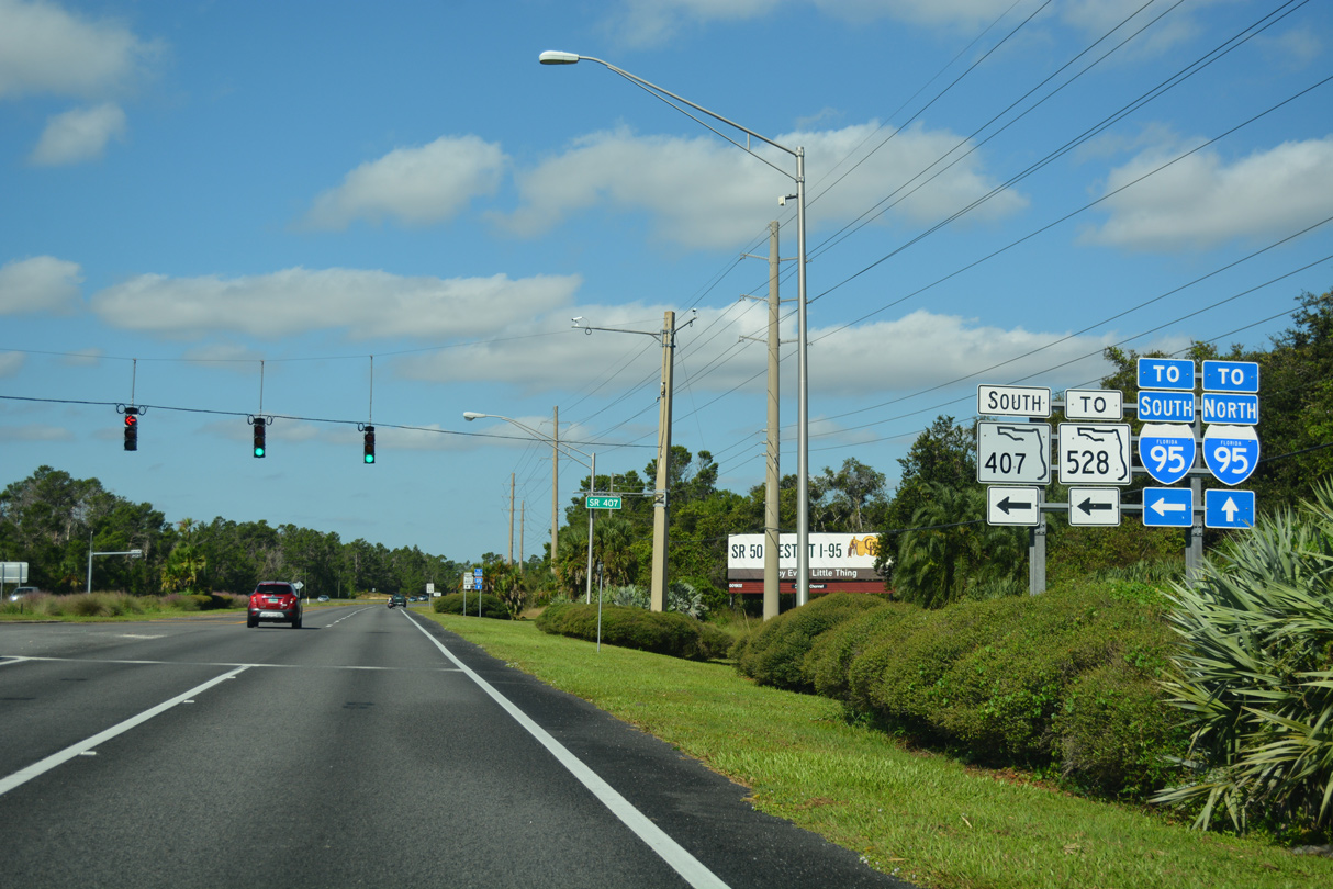
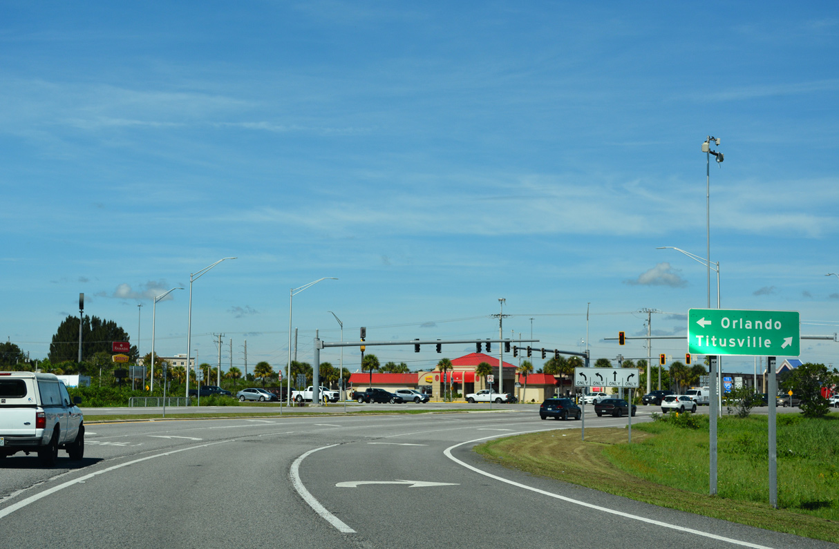
Continuing beyond U.S. 1, SR 405 north connects with I-95 via SR 407 south or SR 50 west.
10/20/18
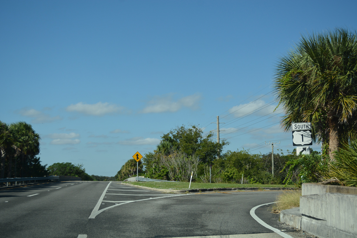
A lone shield directs motorists onto the loop ramp for U.S. 1 south to Cocoa and Rockledge from SR 405 northbound.
10/21/18
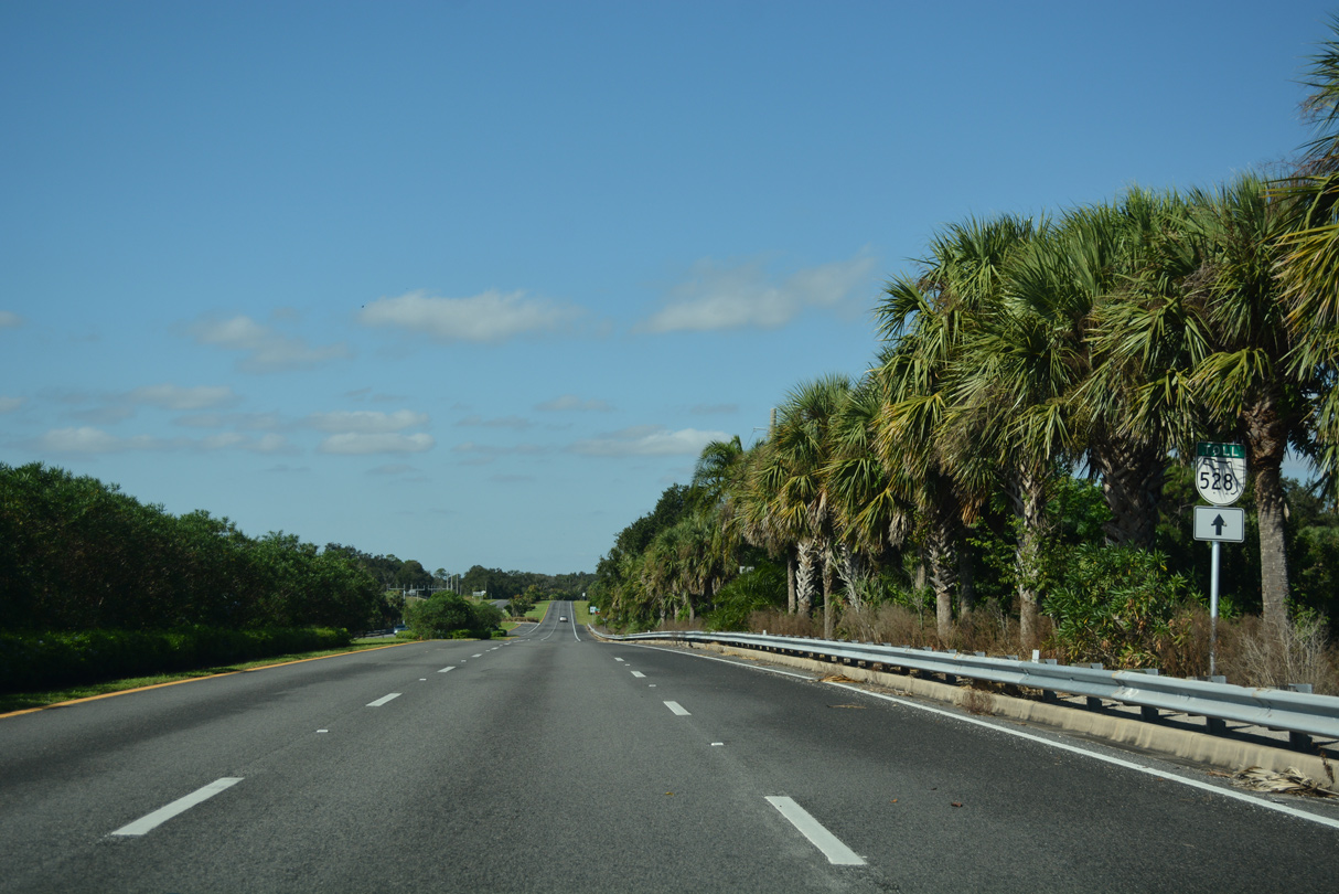
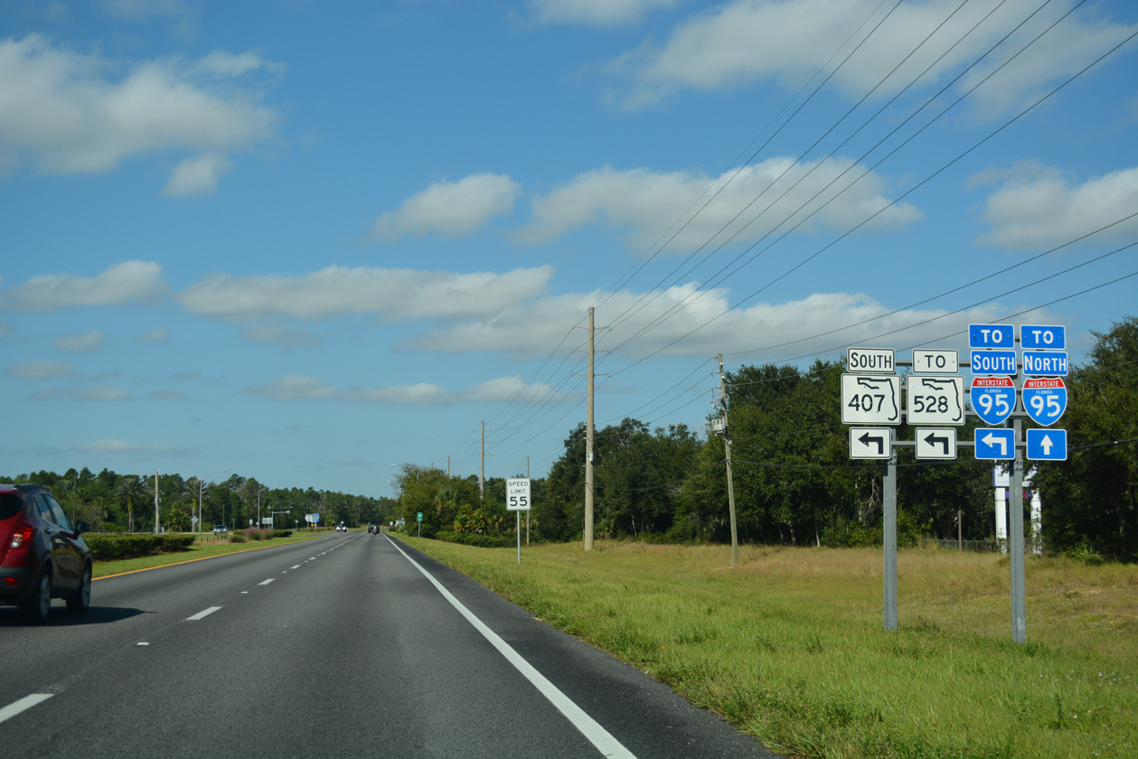
SR 405 north to SR 407 south connects with the Beachline Expressway (SR 528).
10/21/18
SR 405 spans the Florida East Coast (FEC) Railroad ahead of this confirming marker along Columbia Boulevard.
10/21/18
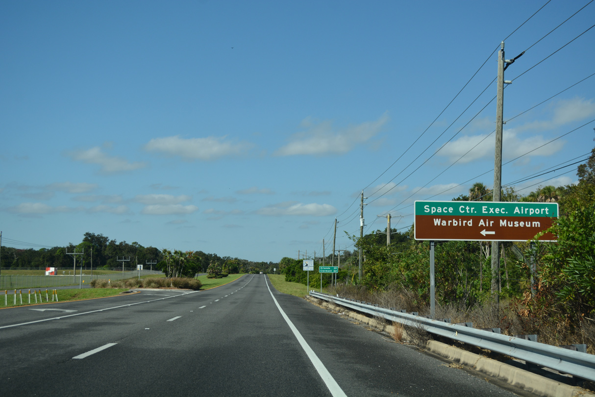
Tico Road stems south from SR 405 to Space Coast Regional Airport (TIX) and the Valiant Air Command Warbird Museum.
10/21/18
Destinations along SR 50 west from Titusville are referenced from SR 405 north at Tico Road.
10/21/18
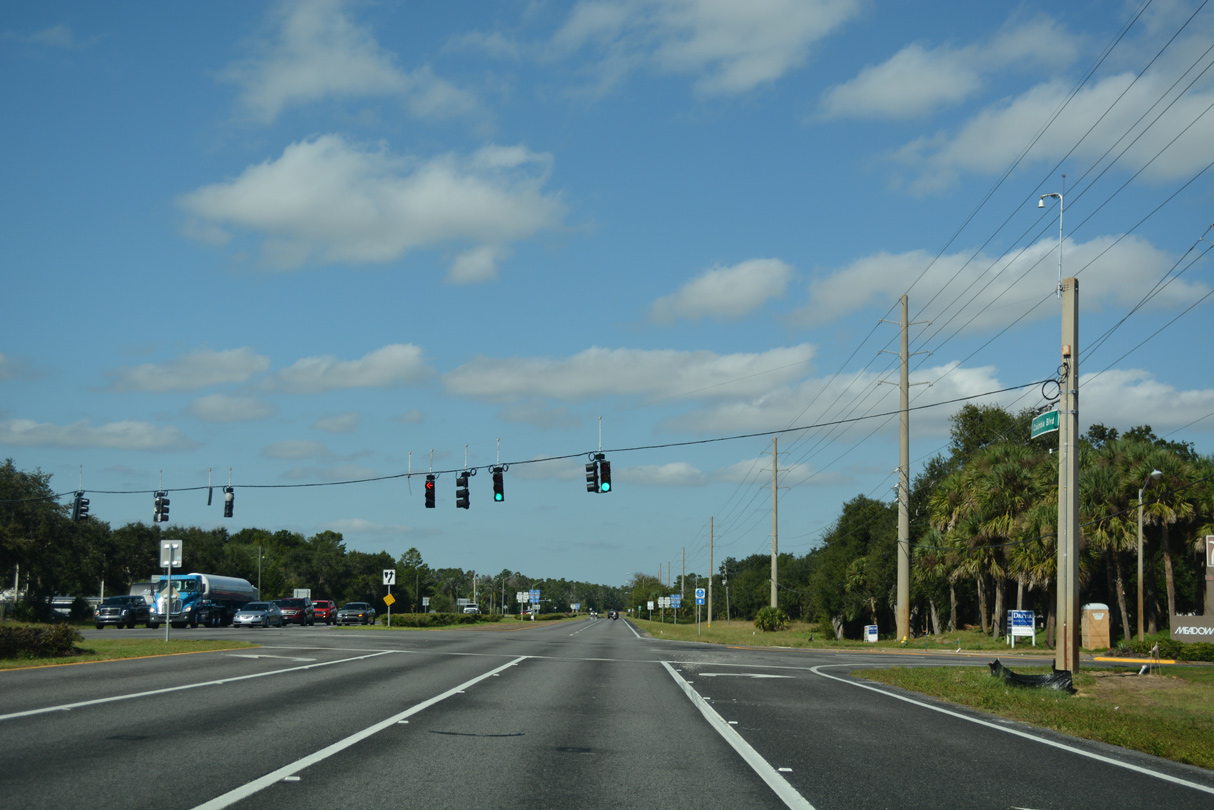
SR 407 (Challenger Memorial Parkway) ties into SR 405 (Columbia Boulevard) at the third in a series of traffic lights along northbound.
10/21/18
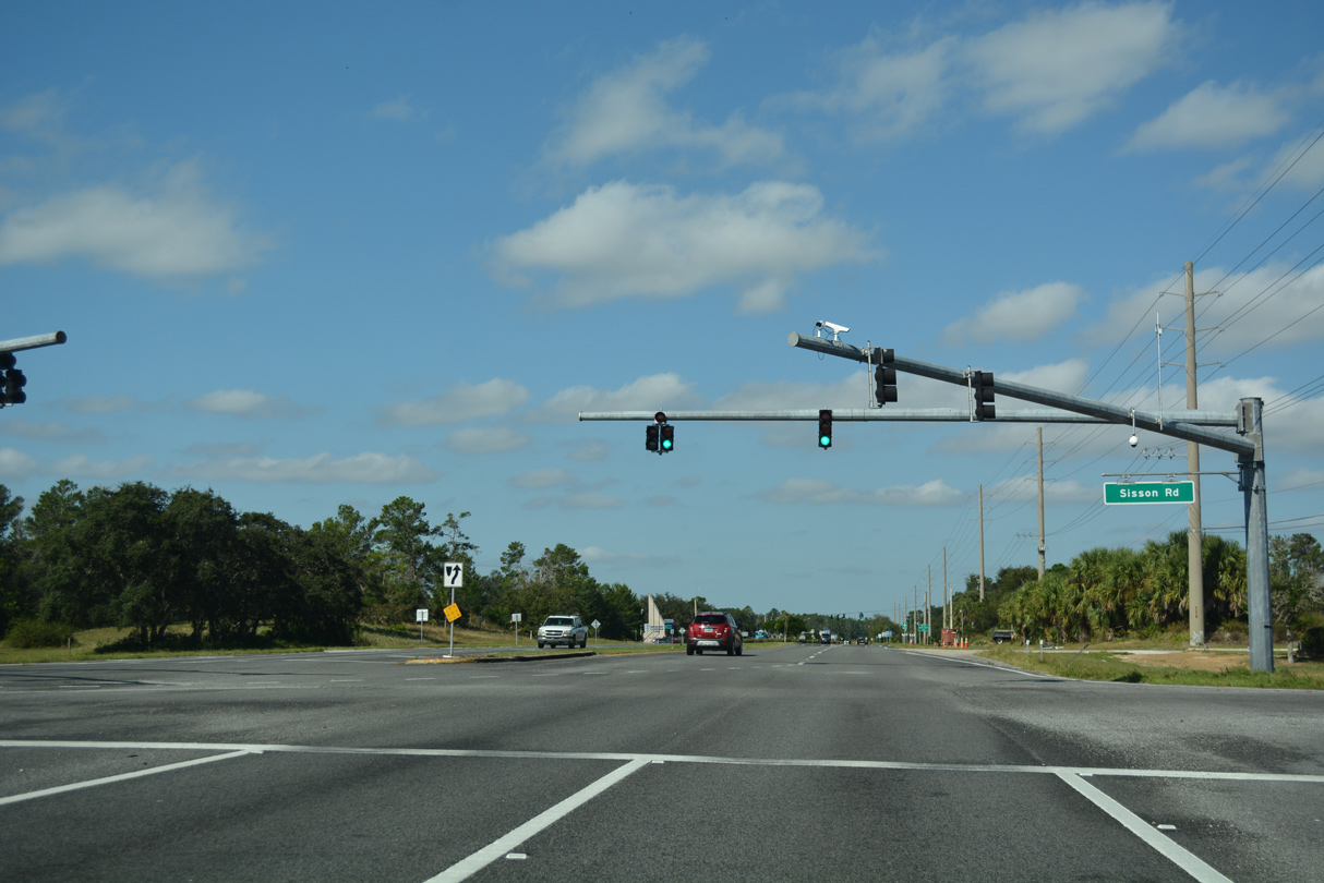
Sisson Road leads north from SR 405 to the Bent Oak At Meadowridge development and SR 50 (Cheney Highway) in central Titusville.
10/21/18
Grissom Parkway follows along SR 405. The four lane boulevard extends south to the community of Port St. John and north into the Bent Oak at Meadowridge subdivision.
10/21/18
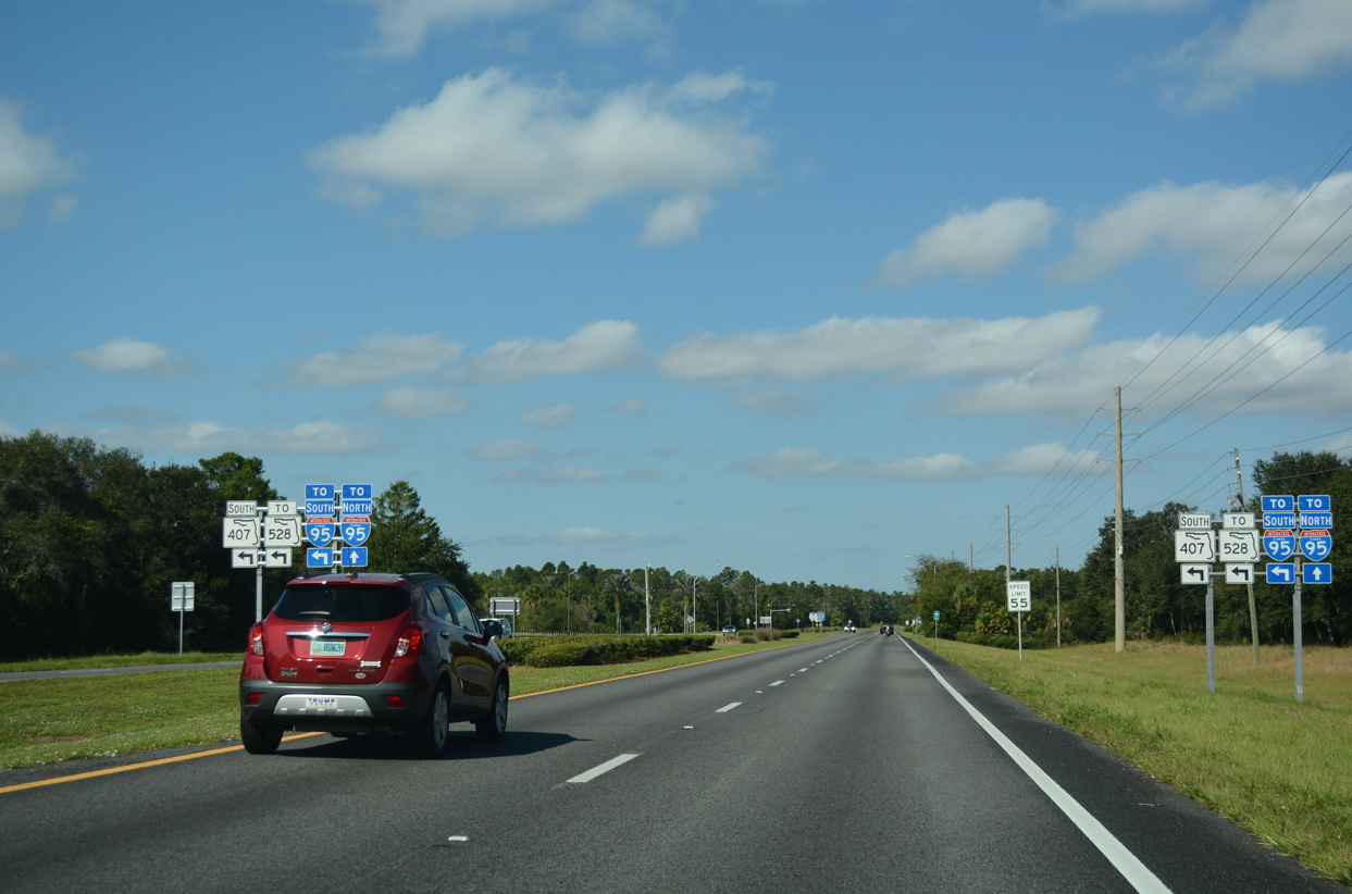
Travelers bound for Interstate 95 from SR 405 and Kennedy Space Center are directed onto SR 407 for Ft. Pierce, West Palm Beach and Miami to the south. SR 405 north to SR 50 connects with the freeway northbound to Daytona Beach, St. Augustine and Jacksonville.
10/21/18
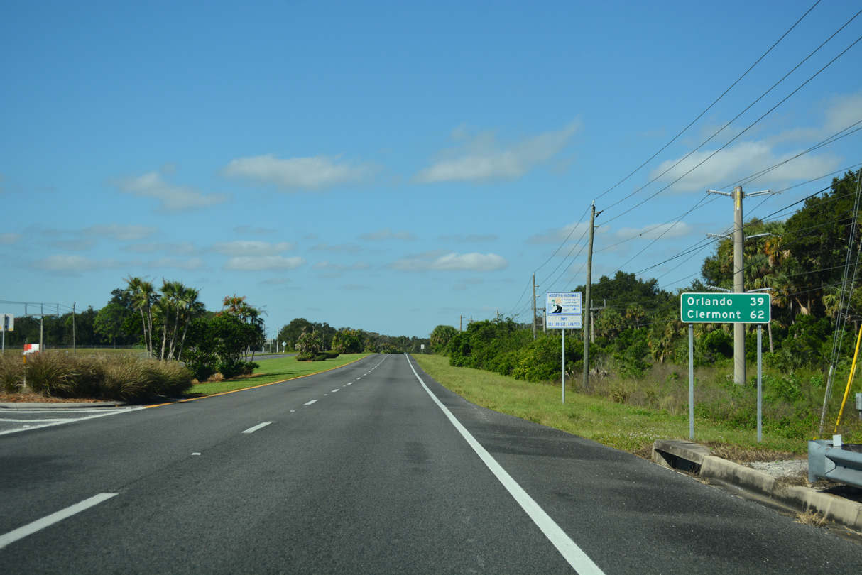
State Road 407 angles 6.79 miles southwest from SR 405 to SR 528 (Beachline Expressway) west to Orlando and Orlando International Airport (MCO).
10/21/18
Confirming marker posted north of SR 407 (Challenger Memorial Parkway) on SR 405 (Columbia Boulevard).
09/28/13
Barna Avenue heads north from The Hills subdivision south of SR 405 (Columbia Boulevard) into central Titusville at the Indian River Heights community.
10/21/18

SR 50 is a cross state route, originating three miles east of SR 405 at U.S. 1 along the Indian River. West of I-95, SR 50 traverses areas of St. Johns National Wildlife Refuge into protected lands of Orange County. The corridor 33 miles west to central Orlando becomes increasingly developed west from Bithlo.
09/28/13
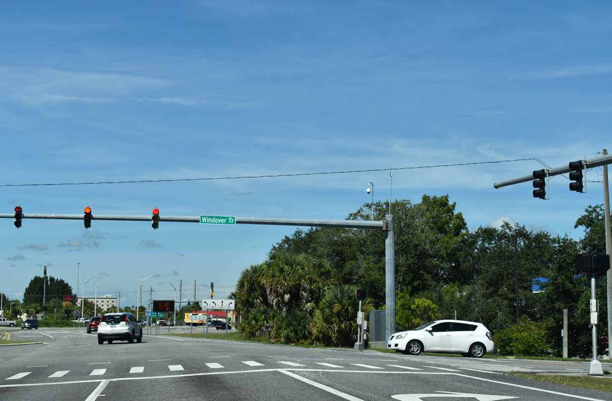
Windover Trail connects SR 405 (Columbia Boulevard) with Windover Way south to the Windover Farms community in unincorporated Brevard County.
09/12/22
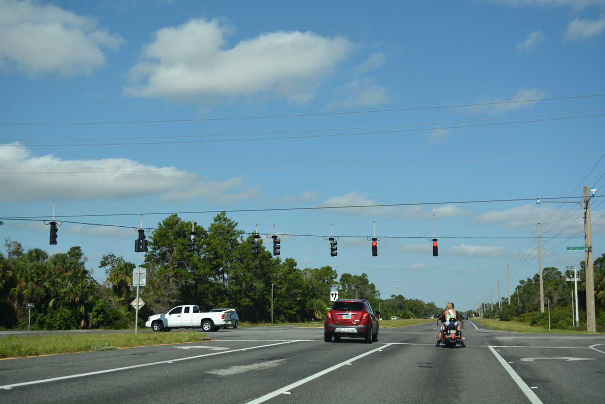
SR 405 curves northwest across SR 50 (Cheney Highway) onto South Street at the succeeding traffic light.
09/12/22
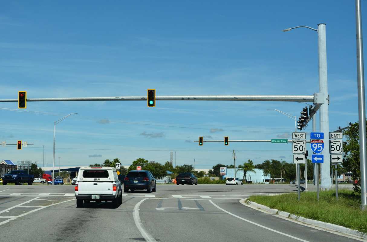
SR 50 (Cheney Highway) links with Interstate 95 to the immediate west of SR 405. An array of big box retail and traveler services line the arterial within the vicinity.
09/12/22
SR 405 heads north along South Street from the retail strip along SR 50.
09/12/22
A second reassurance marker for SR 405 north of SR 50 precedes Foley Road.
09/12/22
The former alignment of SR 405, Park Avenue winds northeast through an array of subdivisions in central Titusville.
09/12/22
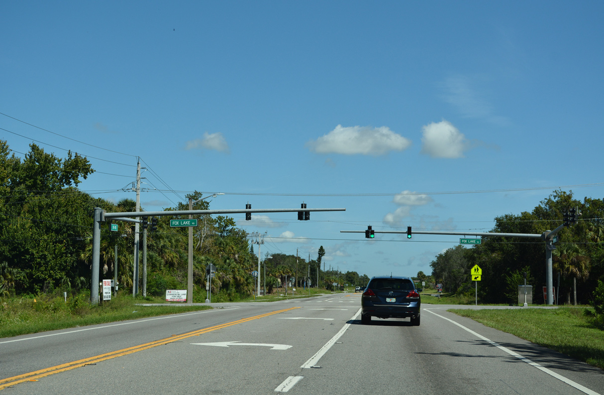
Fox Lake Road extends west from Harrison Street and crosses SR 405 (South Street) at the ensuing traffic light northbound. West from the overpass spanning I-95, Fox Lake Road leads to Fox Lake and Fox Lake Park.
09/12/22
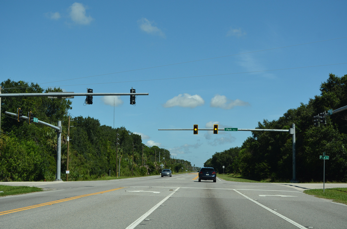
Park Avenue (old SR 405) reconnects with SR 405 (South Street) 3.4 miles northeast from their previous intersection. Park Avenue continues north through the Titusville street grid to SR 406 (Garden Street).
09/12/22
South Street comprises a five lane boulevard east to U.S. 1 (Hopkins / Washington Avenues) south of Downtown Titusville.
09/12/22
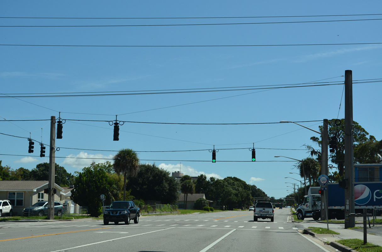
SR 405 (South Street) northbound at Deleon Avenue.
09/12/22
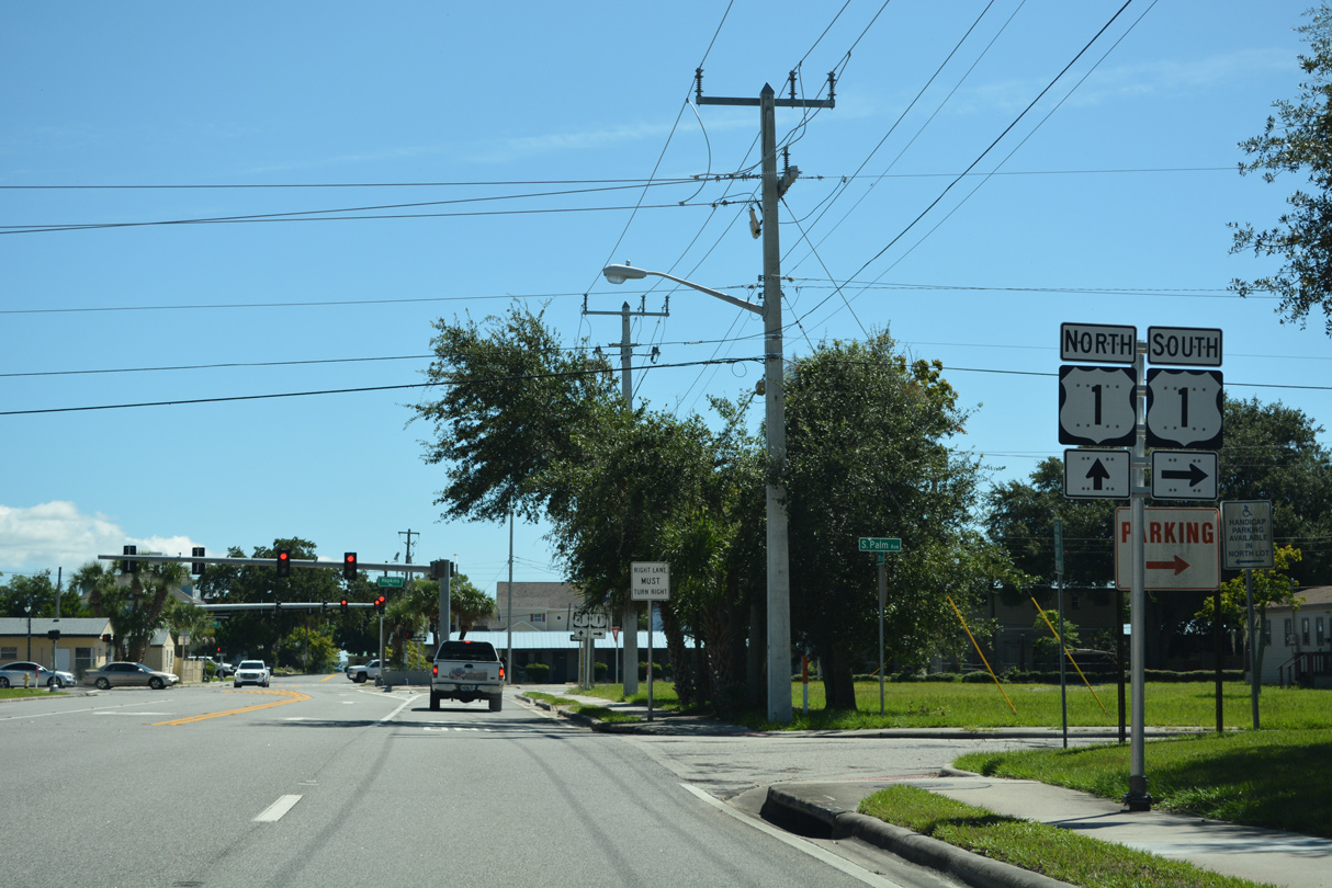
SR 405 (South Street) crosses the Florida East Coast (FEC) Railway and passes south of the Brevard County Government Complex ahead of U.S. 1.
09/12/22
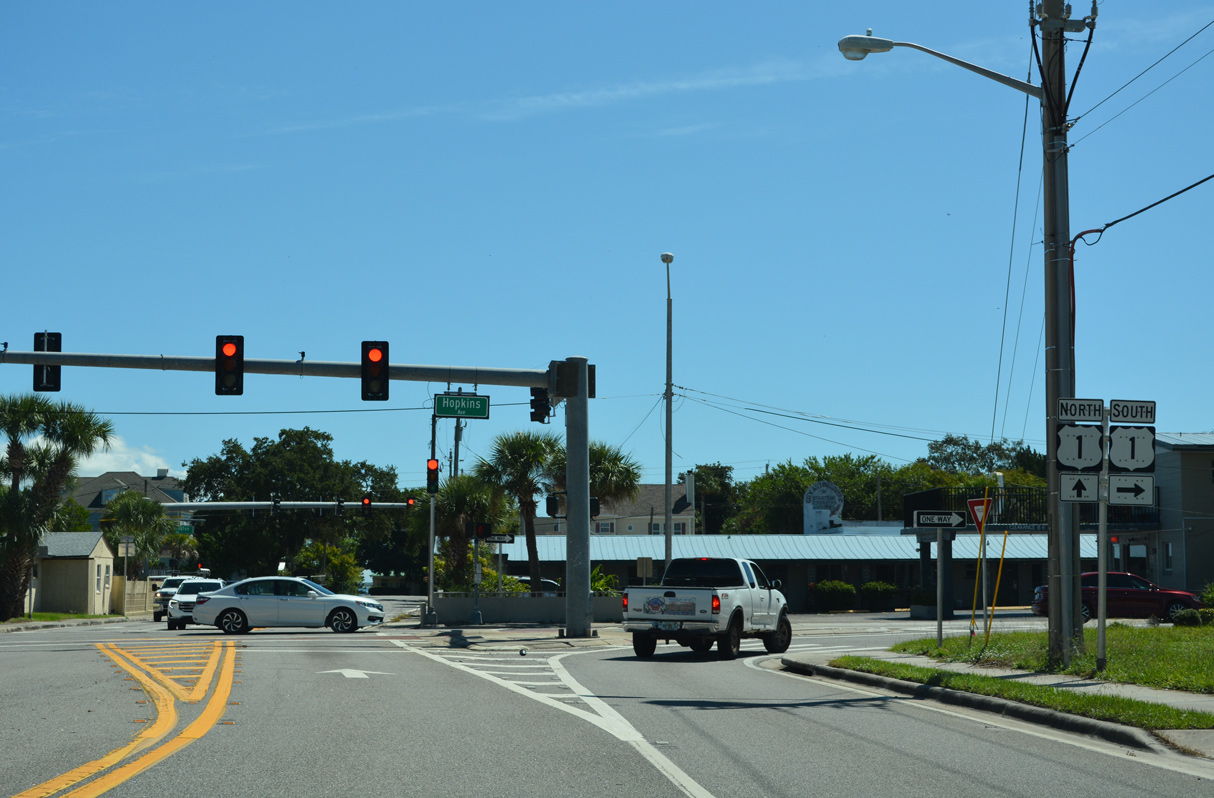
Through Downtown Titusville, U.S. 1 separates along the couplet of Hopkins Avenue south and Washington Avenue north.
09/12/22
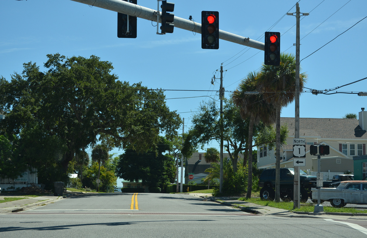
SR 405 ends at U.S. 1 (Washington Avenue) north, a block and a half from Indian River. U.S. 1 meets SR 406 (Garden Street) west and A. Max Brewer Memorial Parkway (CR 402) north onto Merritt Island in seven blocks.
09/12/22
References:
Baughn, J. (n.d.) NASA PKWY WEST WB over INDIAN RIVER, Brevard County, Florida. BridgeReports.com. https://bridgereports.com/1646987/
Photo Credits:
- Alex Nitzman: 10/20/18, 10/21/18, 09/12/22
- Alex Nitzman, Justin Cozart: 03/18/06
- ABRoads: 09/28/13
Connect with:
Page Updated Monday January 26, 2026.