
State Road 405 South

 South
South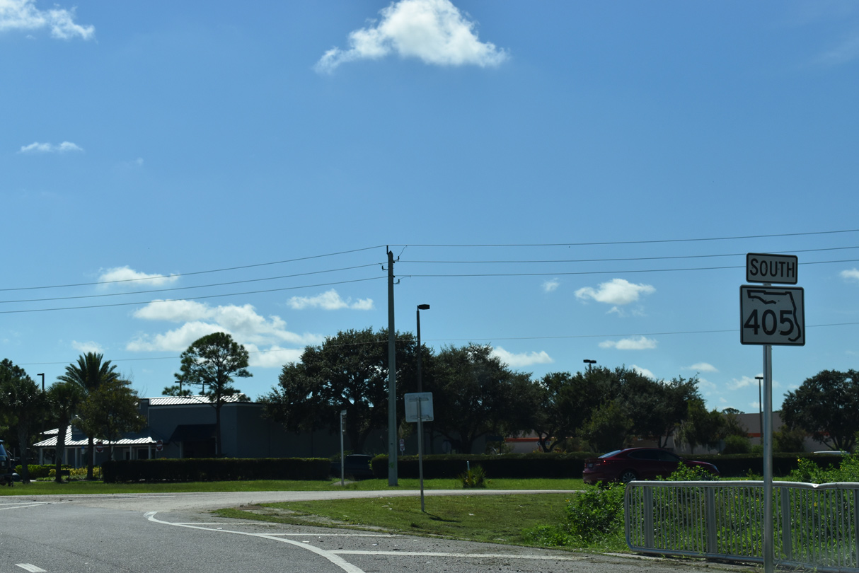
SR 405 turns east from South Street onto Columbia Boulevard at SR 50 (Cheney Highway) ahead of this confirming marker.
09/12/22
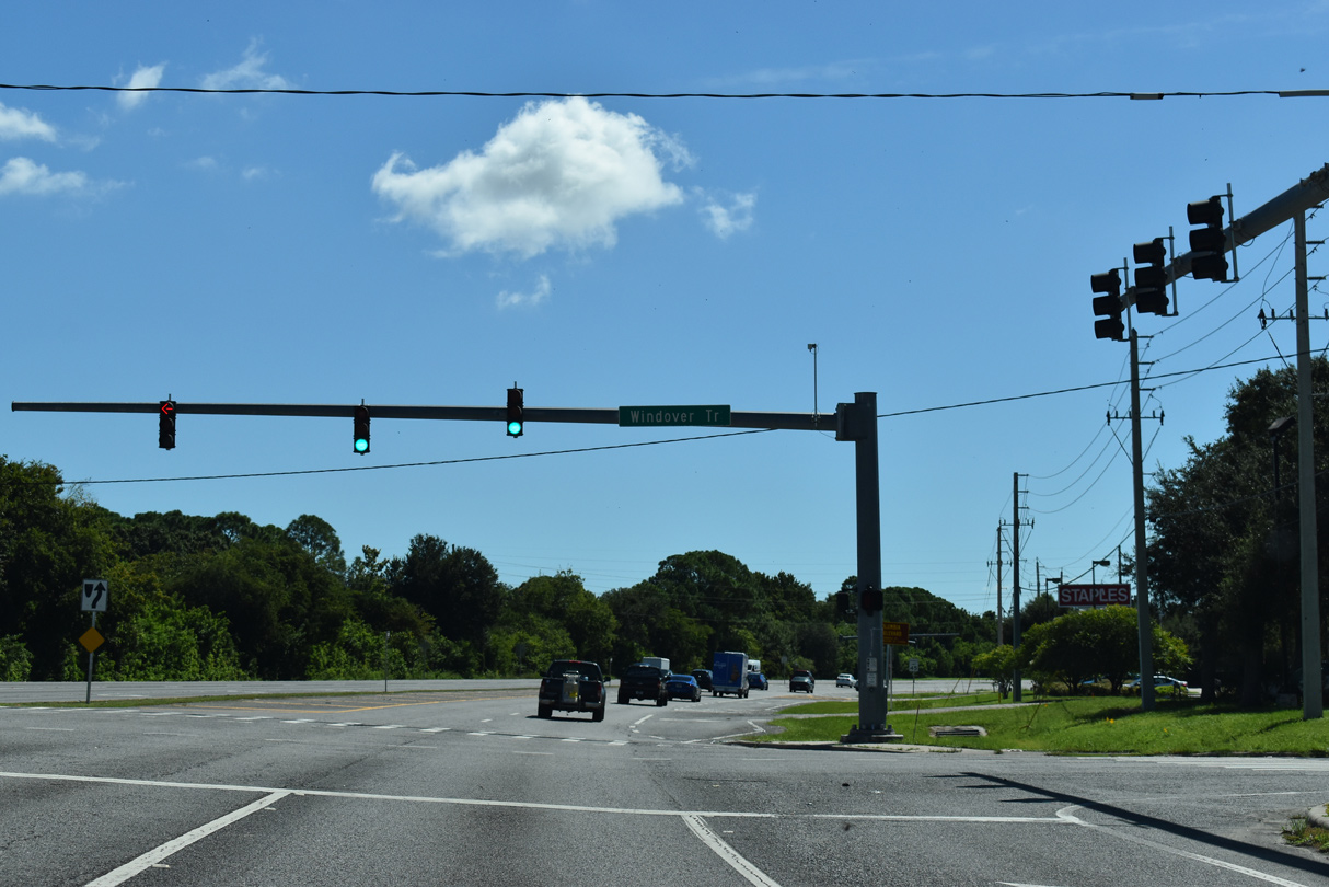
Windover Trail ties into SR 405 (Columbia Boulevard) north from the Windover Farms community amid the retail area spreading east from I-95 and SR 50.
09/12/22
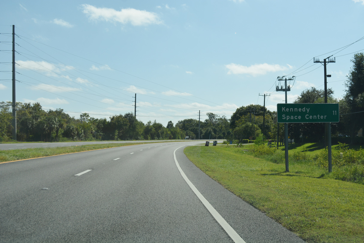
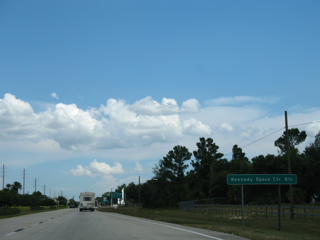
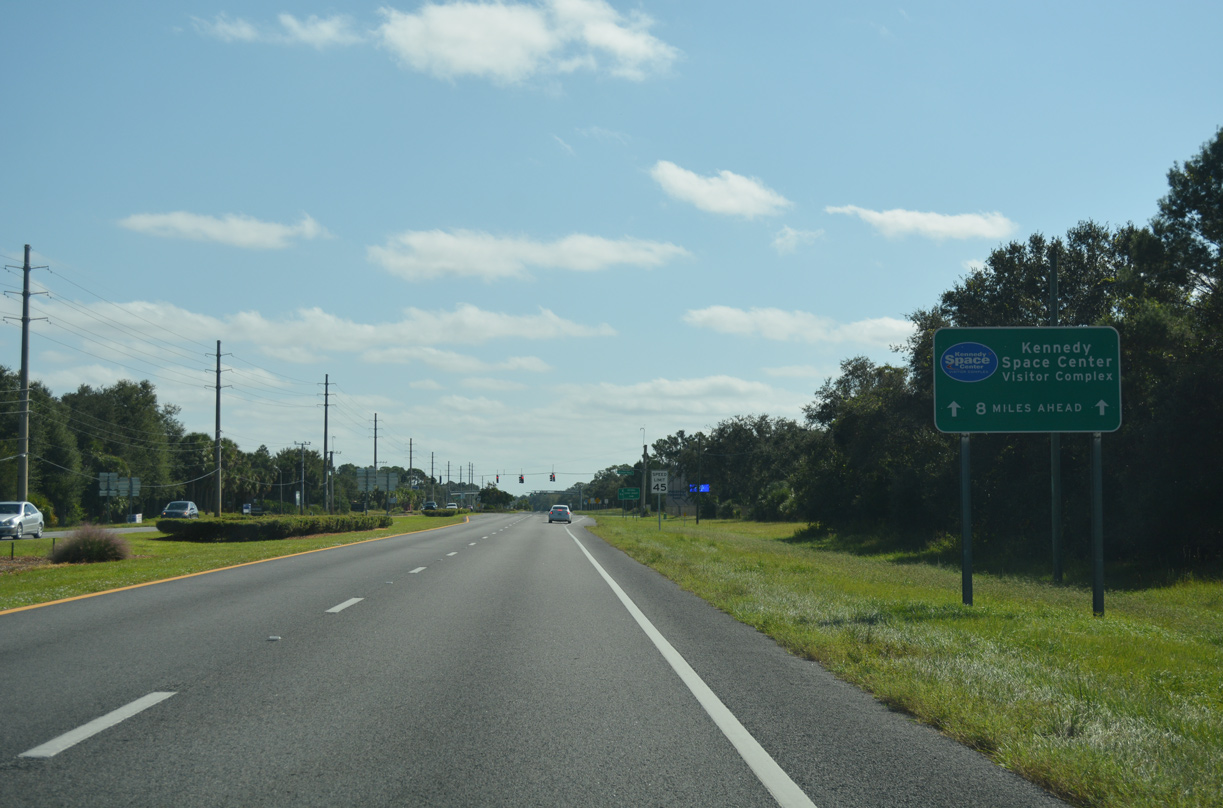
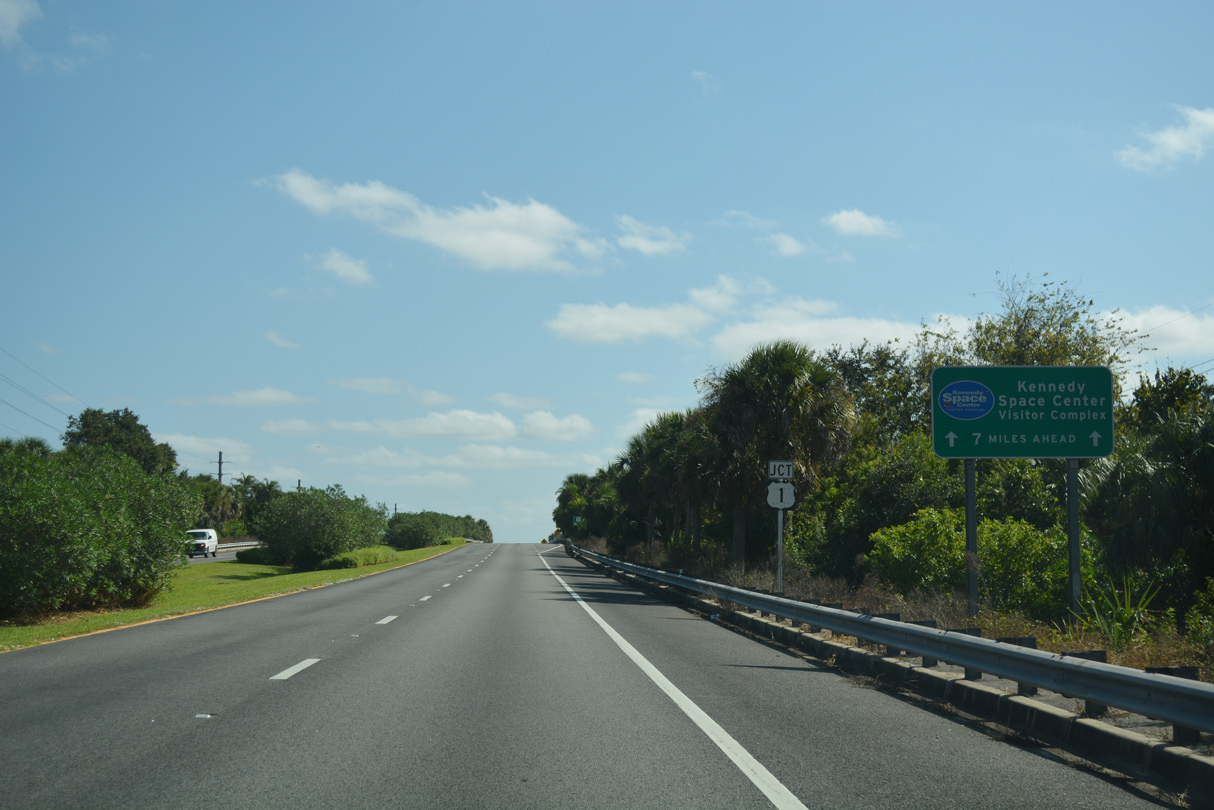
Leading away from I-95 and SR 50, Kennedy Space Center lies 11 miles to the east via SR 405 and NASA Parkway east.
10/21/18
Barna Avenue winds south from the Sun Valley neighborhood to cross SR 405 at a traffic light north of The Hills community.
10/21/18
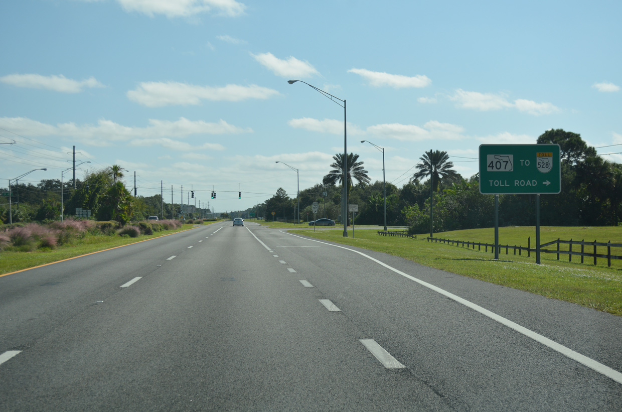
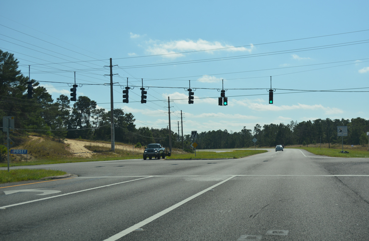
Turning more to the east, SR 405 approaches the north end of SR 407 (Challenger Memorial Parkway). SR 407 constitutes a controlled access roadway 6.79 miles south to Shepard Drive east, I-95, and SR 528 (Beachline Expressway) west.
10/21/18
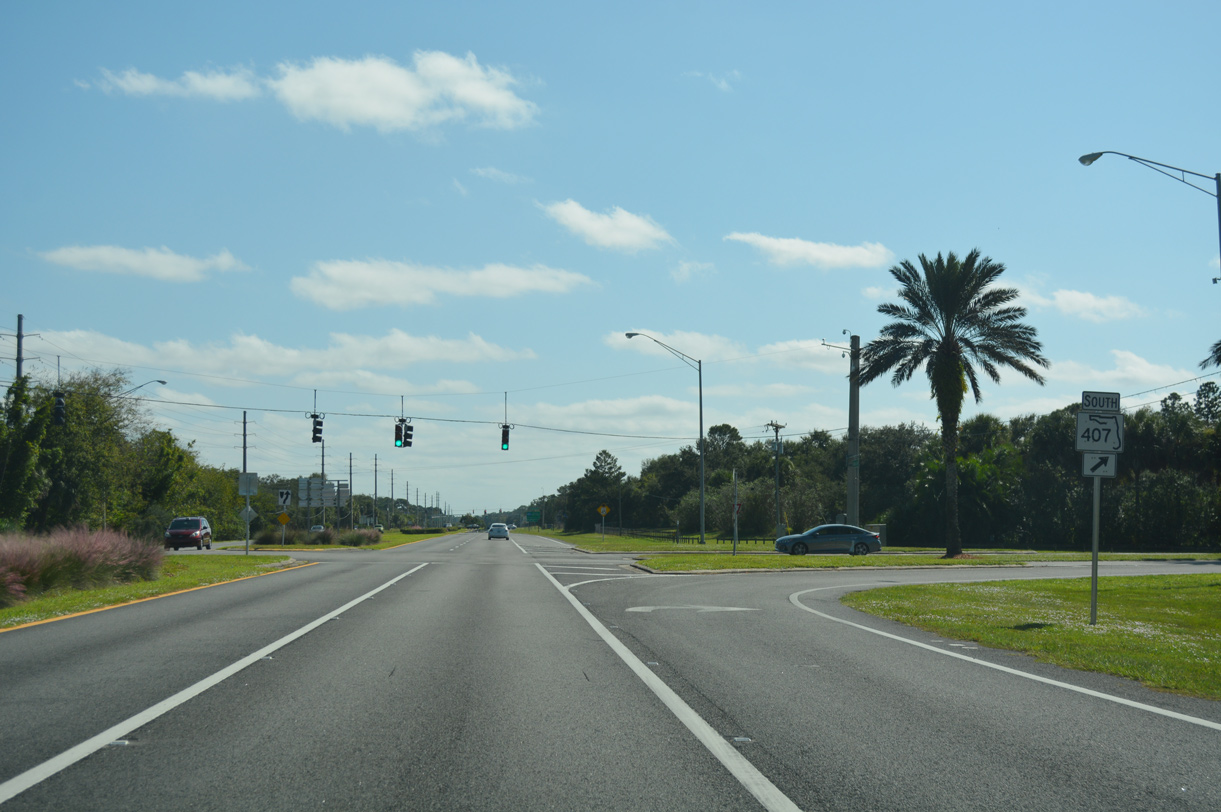
Right of way at the signalized intersection with SR 407 (Challenger Memorial Parkway) south alludes to an unbuilt trumpet interchange with SR 405.
10/21/18
A distance sign on SR 405 (Columbia Boulevard) east of SR 407 formerly referenced the distance to Kennedy Space Center via the continuation onto NASA Causeway. This assembly was removed by 2015.
08/25/07
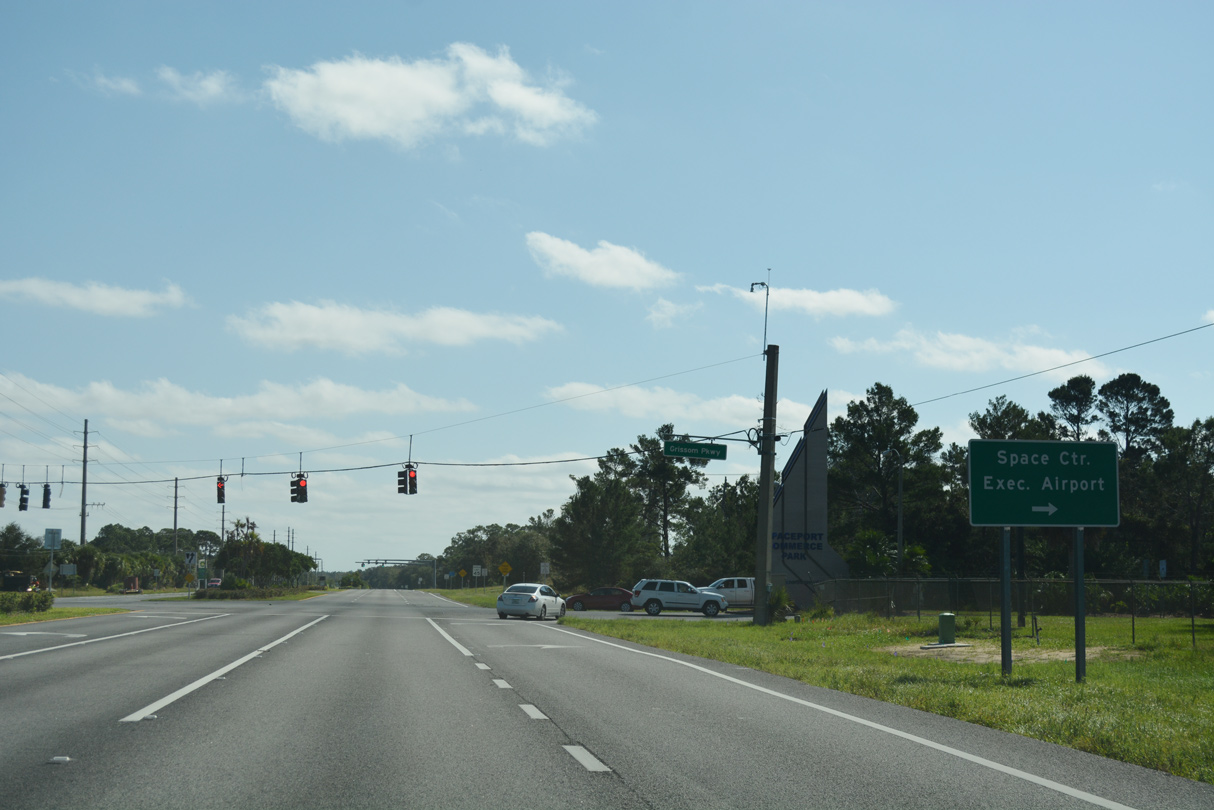
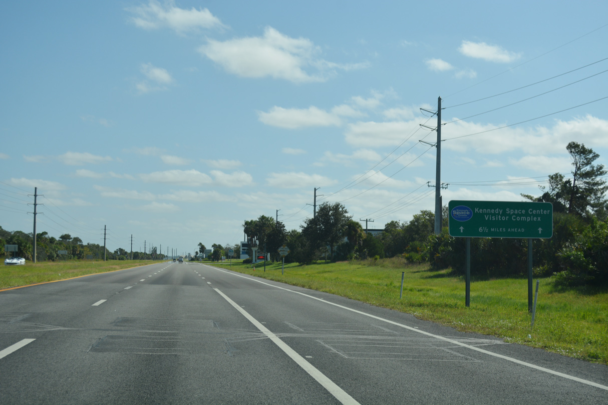
A wayfinding sign for the Kennedy Space Center Visitor Complex follows along SR 405 (Columbia Boulevard) southbound between SR 407 and Grissom Parkway.
08/25/07
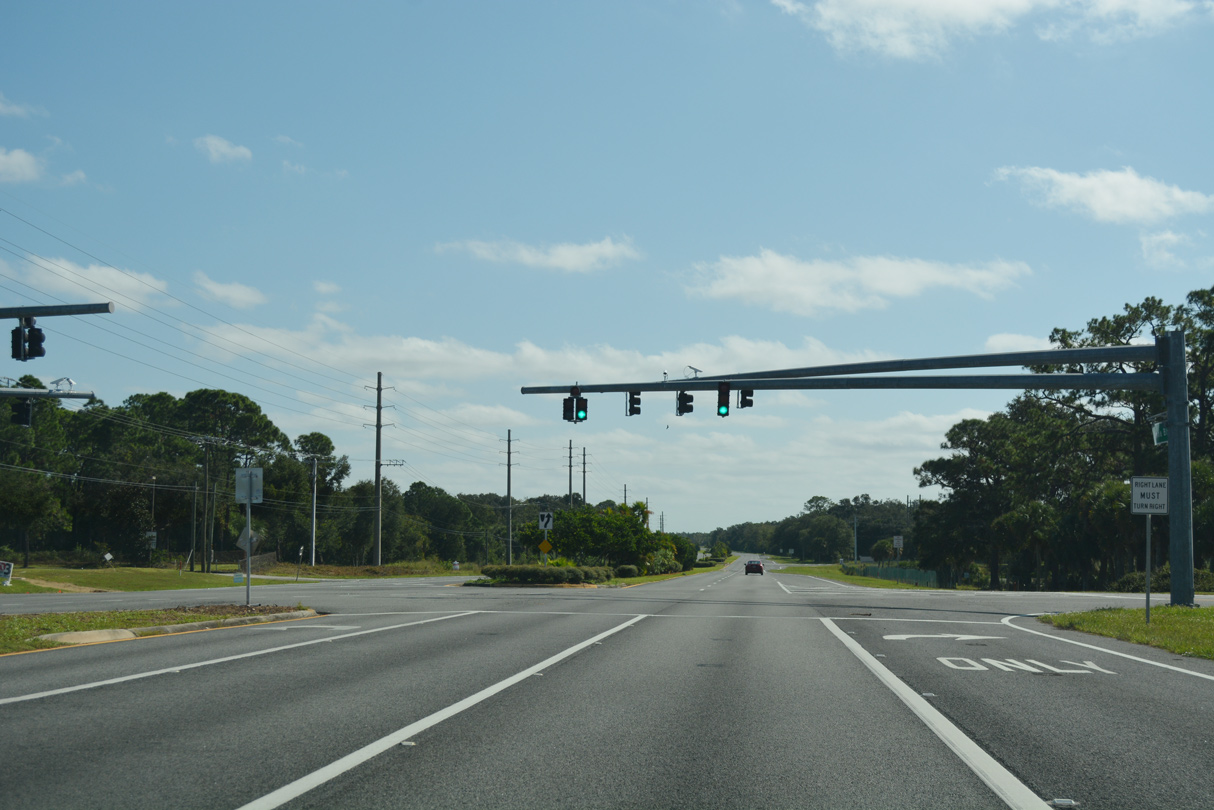
Grissom Parkway constitutes a four lane arterial south from SR 405 (Columbia Boulevard) to North Brevard Industrial Park, Space Coast Regional Airport (TIX) and the unincorporated community of Port St. John. North of Columbia Boulevard, Grissom Parkway is a residential street linking with the Bent Oak at Meadowridge development.
10/21/18
Sisson Road heads north from SR 405 (Columbia Boulevard) between the Forest Trace, Imperial Estates and Sisson Meadows subdivisions among others en route to SR 50 (Cheyney Highway).
10/21/18
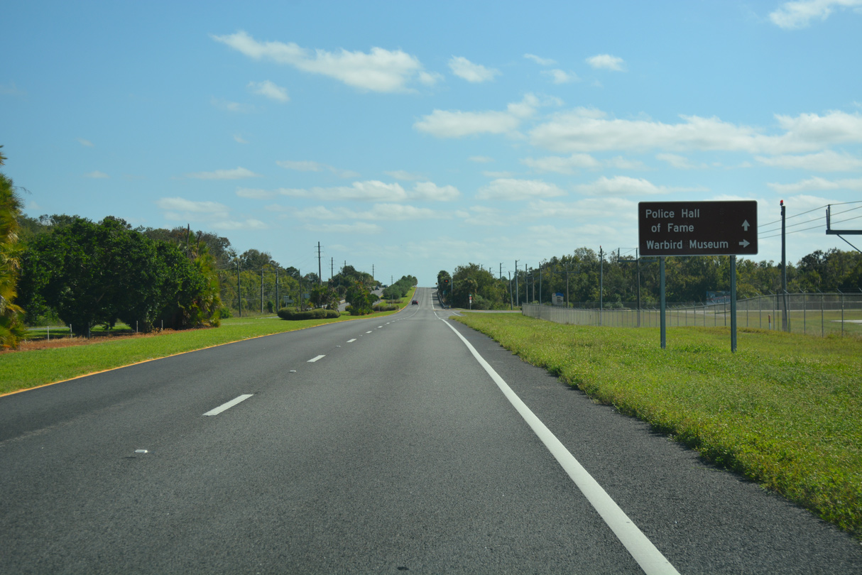
Tico Road stems south from SR 405 to the Valiant Air Command Warbird Museum and the east side of Space Coast Regional Airport (TIX).
10/21/18
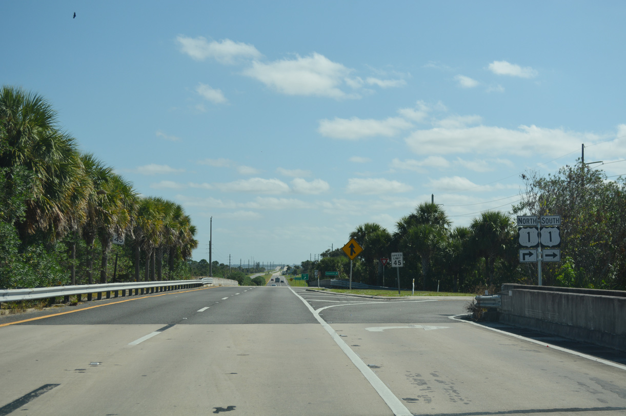
Columbia Boulevard elevates across the FEC Railway leading into the full cloverleaf interchange with U.S. 1 (Washington Avenue).
10/21/18
Traveling south from SR 405 and Titusville, U.S. 1 continues to Bellwood, Port Saint John and the city of Cocoa.
08/25/07
Right in right out (RIRO) type ramps connect SR 405 with U.S. 1 southbound due to the adjacent FEC Railway.
10/21/18
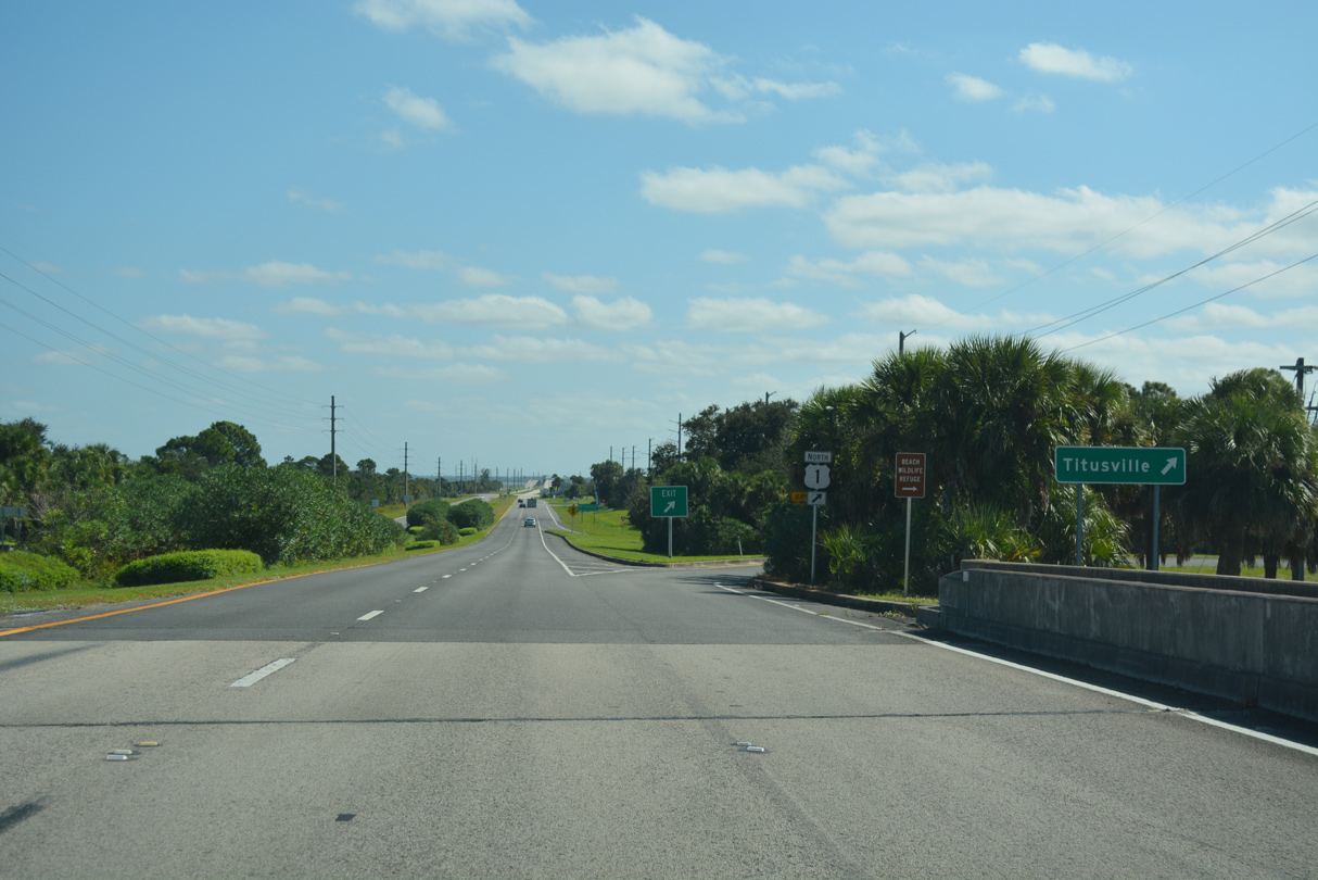
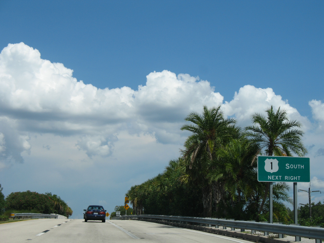
U.S. 1 (Washington Avenue) heads 2.1 miles north from SR 405 to SR 50 (Cheney Highway).
10/21/18
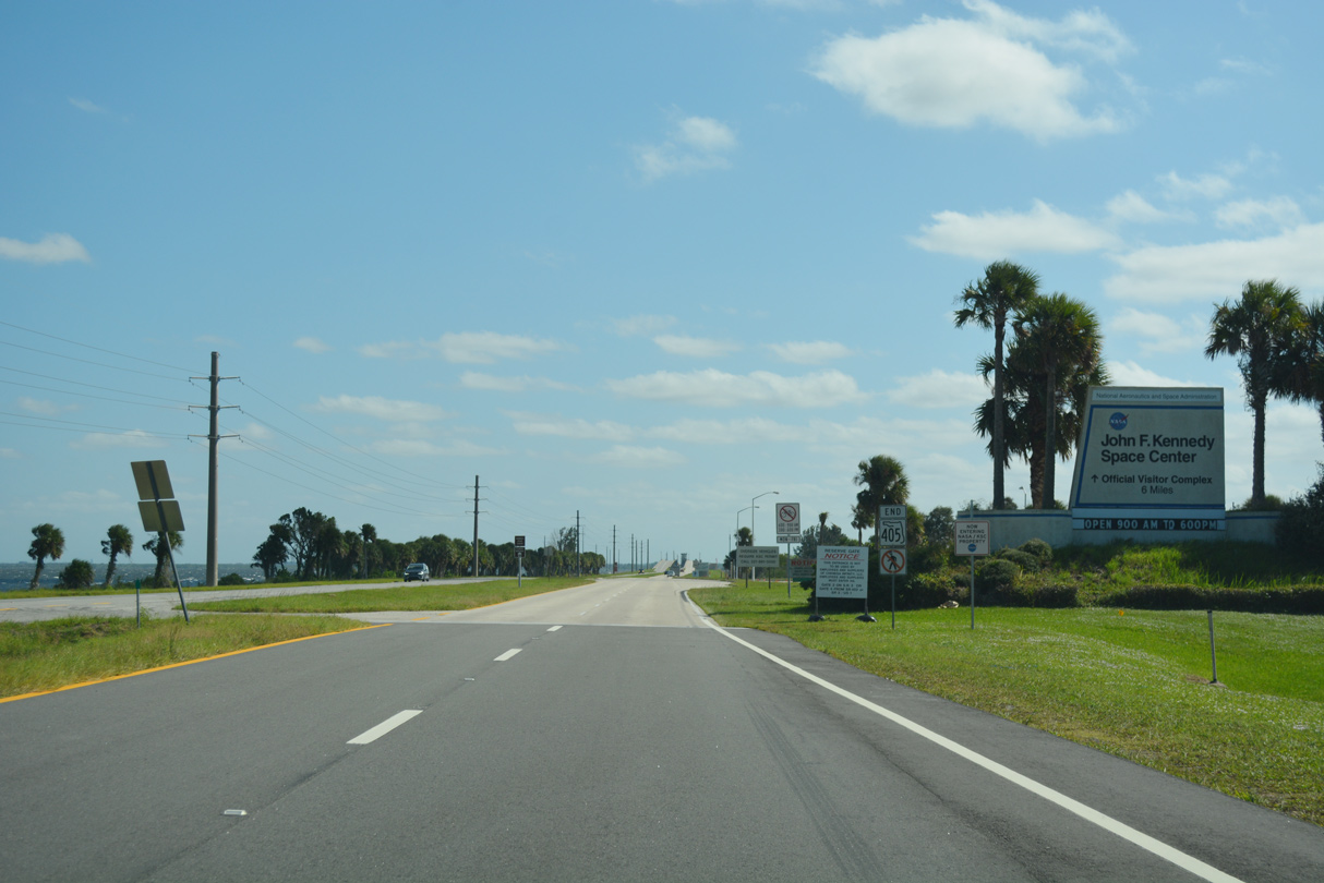
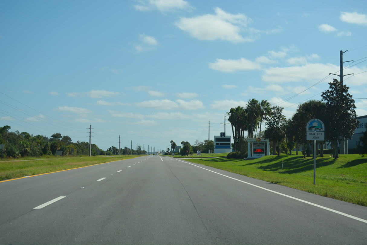
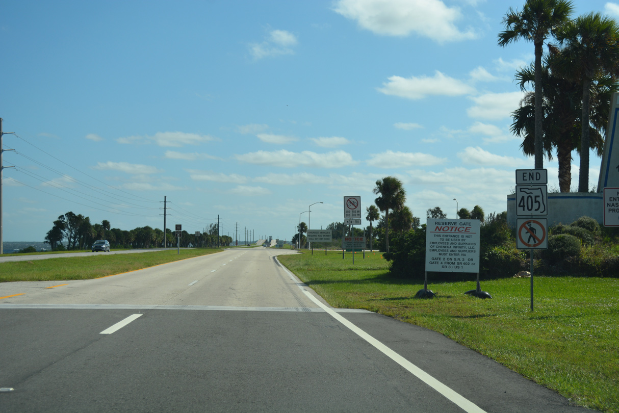
SR 405 transitions to NASA Causeway (CR 405) and the Indian River Lagoon Scenic Highway at the entrance to Kennedy Space Center ahead.
10/21/18
An end shield marks the transition of SR 405 to unsigned County Road 405 and NASA Parkway east between U.S. 1 and Vectorspace Boulevard.
10/21/18
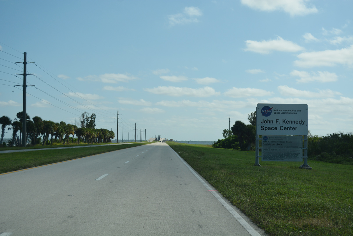
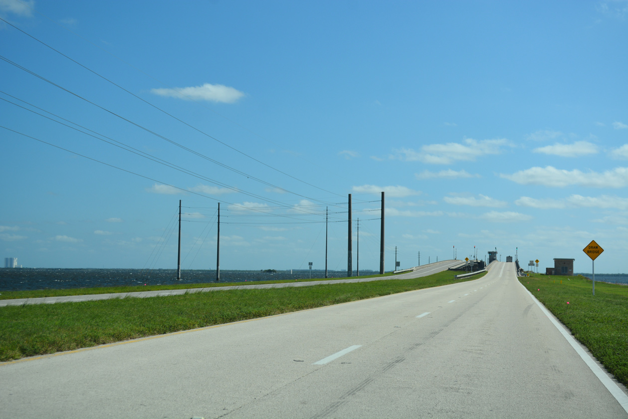
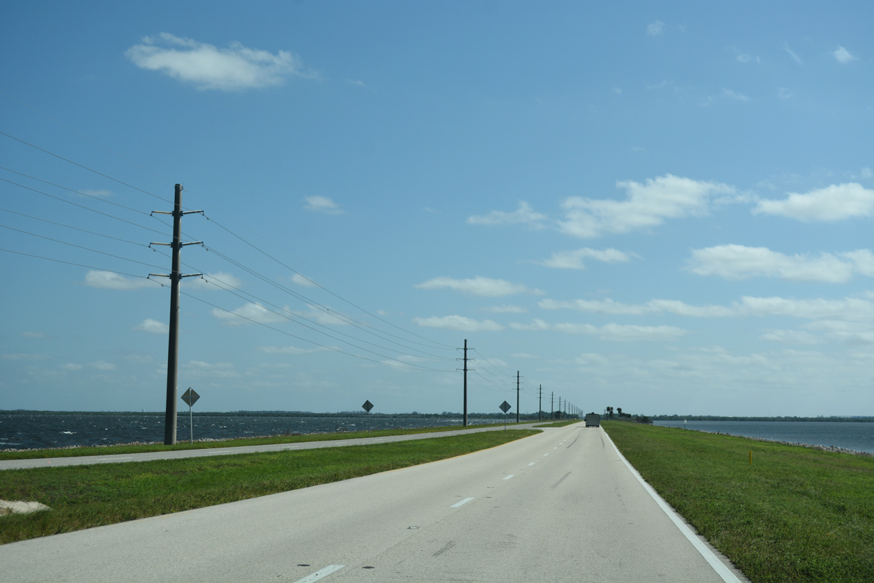
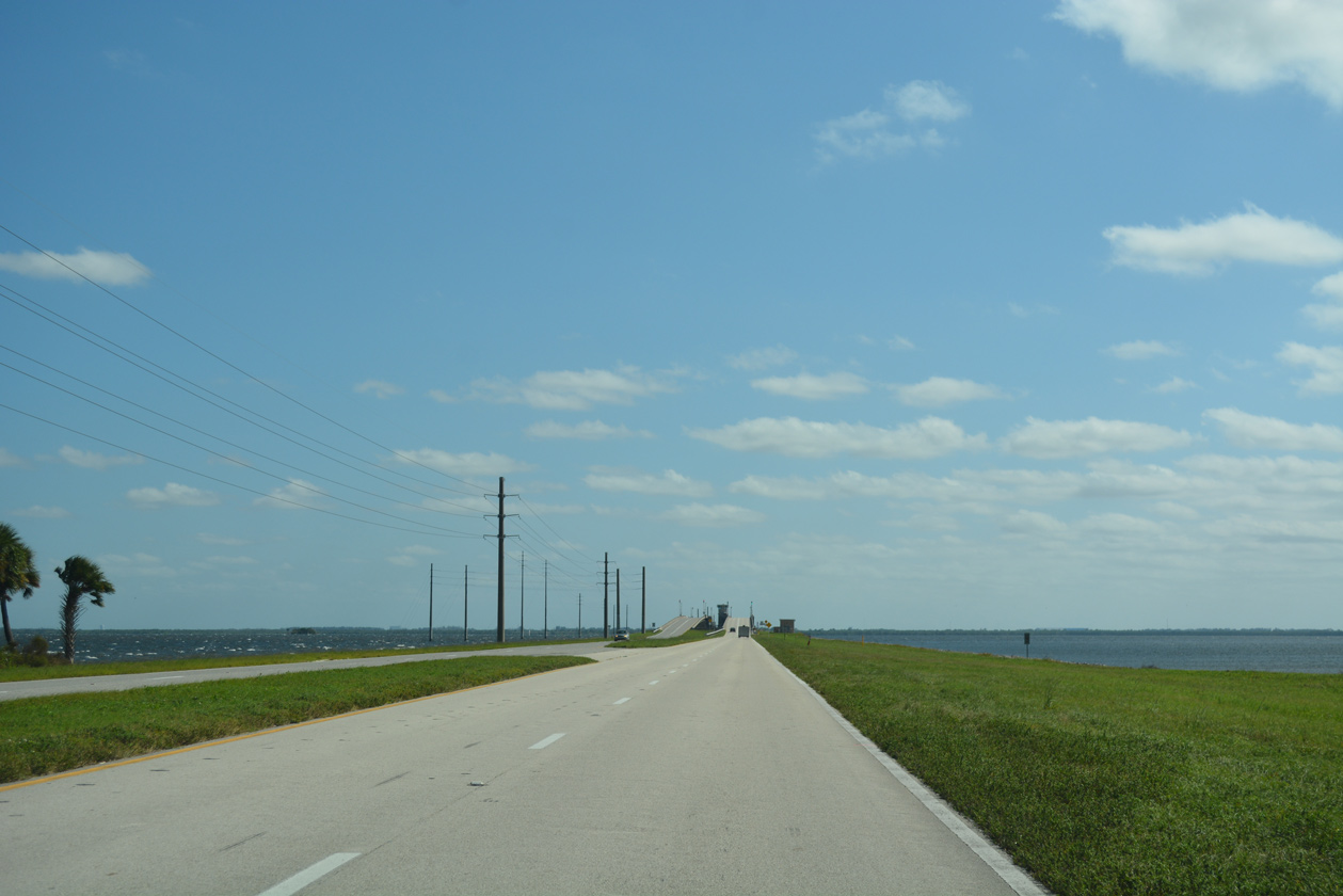
NASA Causeway spans Indian River Lagoon east from Titusville to John F. Kennedy Space Center on Merritt Island. The controlled access roadway travels 5.4 miles east to Space Commerce Way.
10/21/18
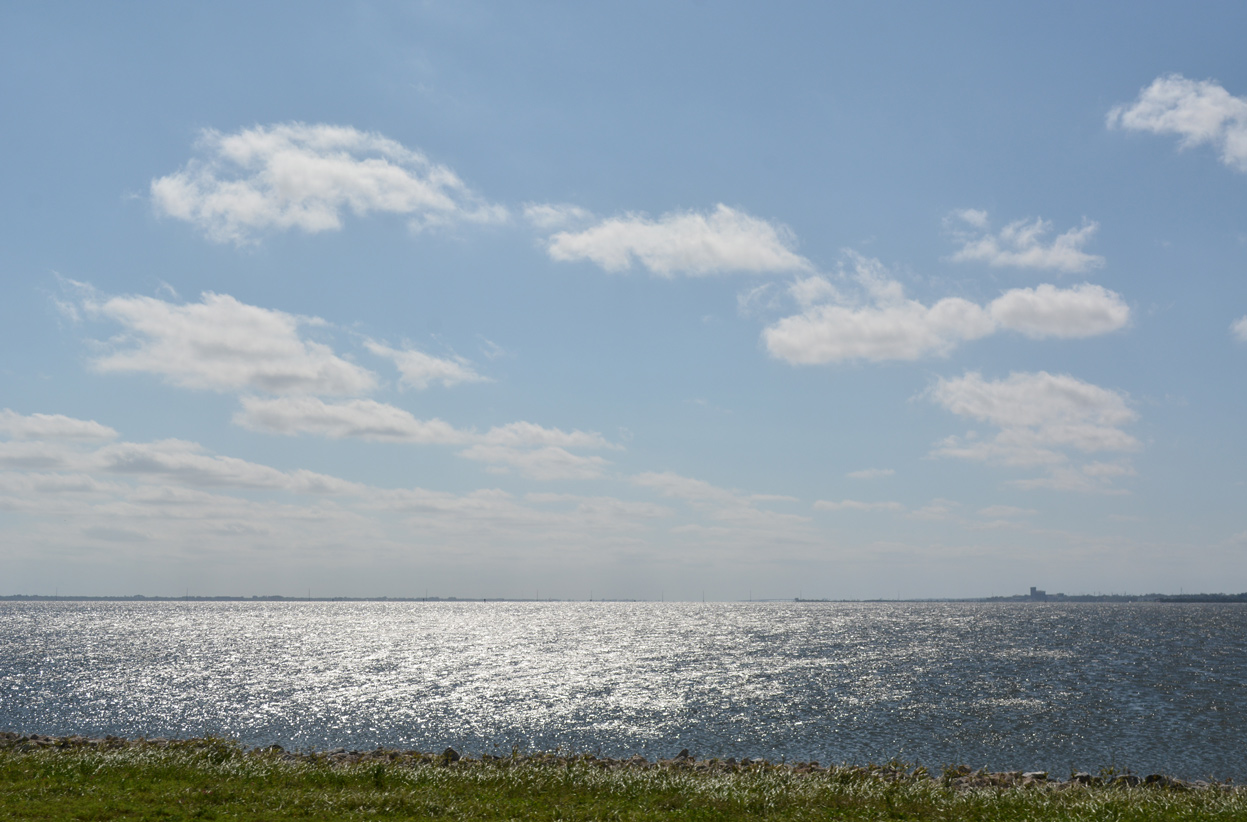
Southward view of the Indian River tidal estuary and the distant FPL Cape Canaveral Power Plant from NASA Causeway.
10/21/18
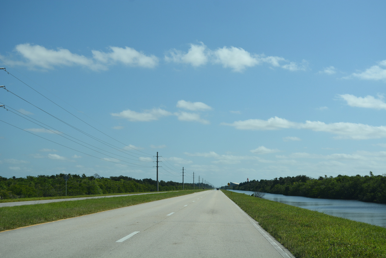
The Vehicle Assembly Building (VAB) appears along the eastern horizon as NASA Causeway advances east to the bridge spanning Indian River.
10/21/18
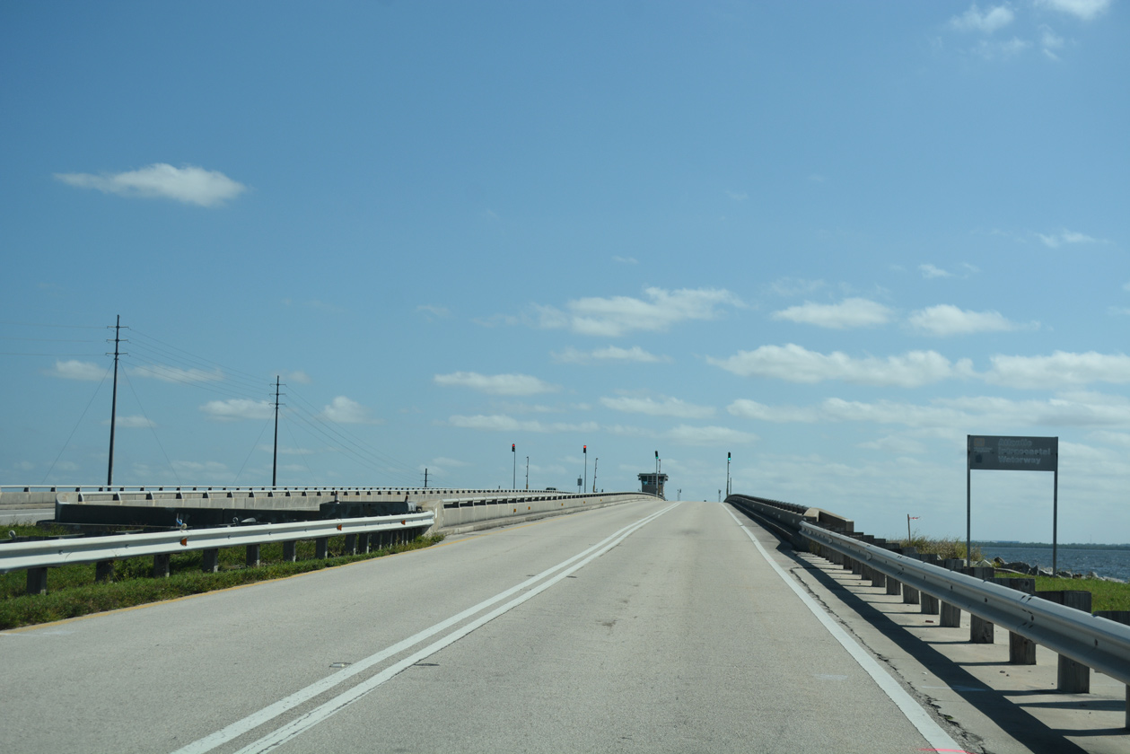
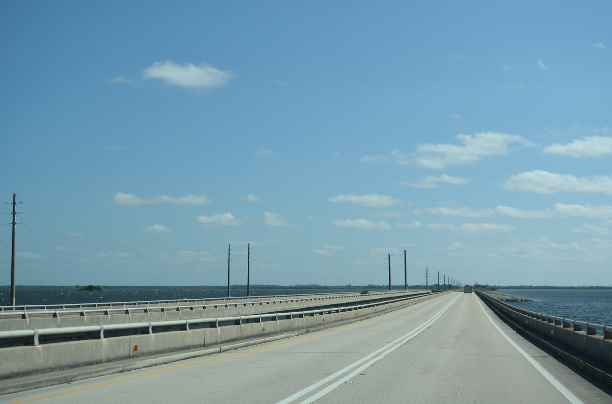
Crossing the Atlantic Intracoastal Waterway, NASA Causeway spans the Indian River across a double leaf bascule bridge built in 1964.2
10/21/18
Crossing the Atlantic Intracoastal Waterway, NASA Causeway spans the Indian River across a double leaf bascule bridge built in 1964.2 \
10/21/18
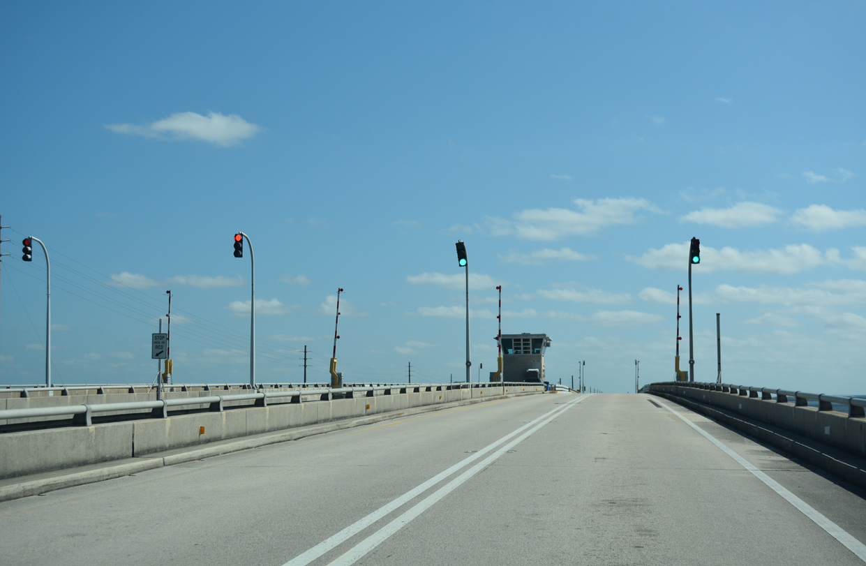
The 2,993 foot long span along NASA Parkway rises to a height of 27.9 feet.2
10/21/18
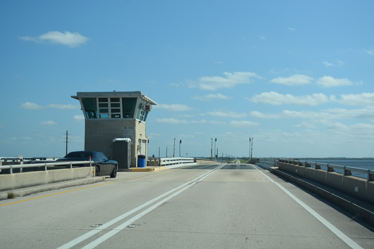
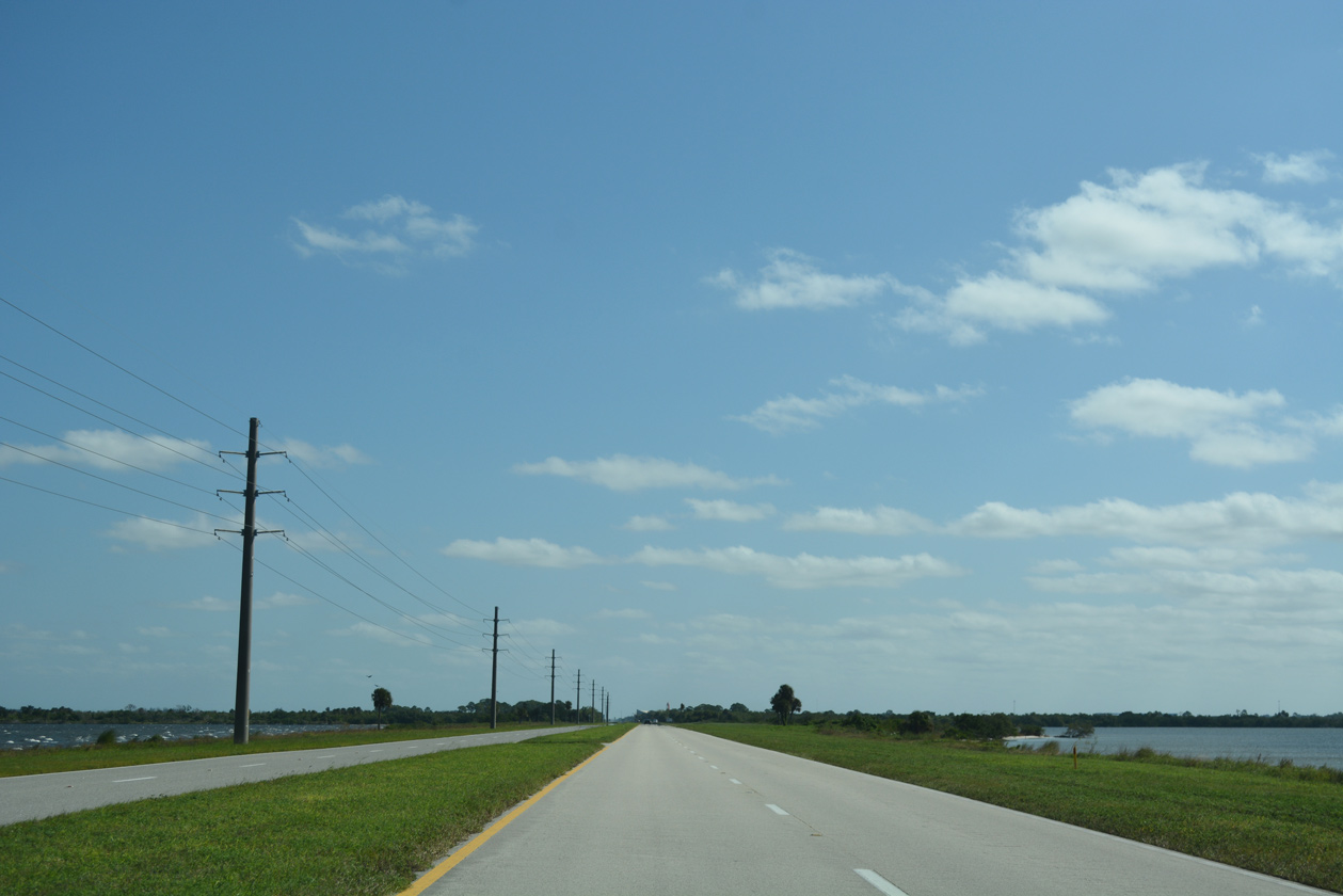
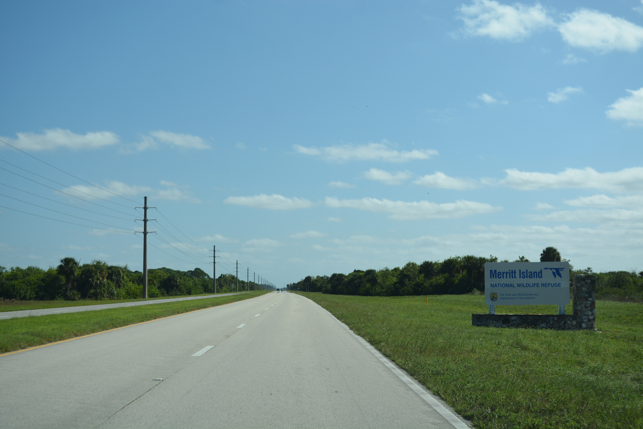
NASA Parkway lowers onto a man made island east from the draw bridge over Indian River Lagoon to Merritt Island National Wildlife Refuge.
10/21/18
NASA Parkway advances east between Moore Pond and Pine Island Basin toward the Kennedy Space Center Visitors Complex.
10/21/18
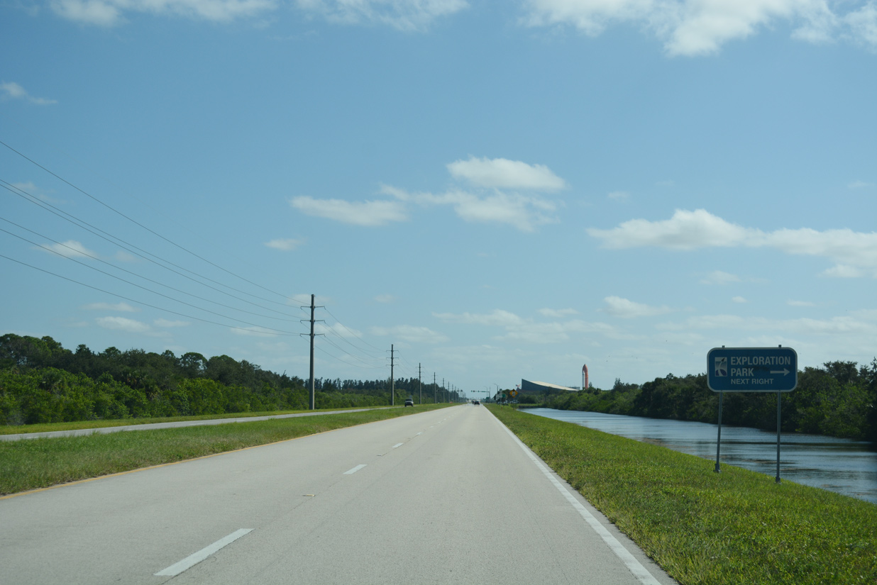
Exploration Park, a research, office and light manufacturing complex, lies southeast of NASA Parkway along forthcoming Space Commerce Way.
10/21/18
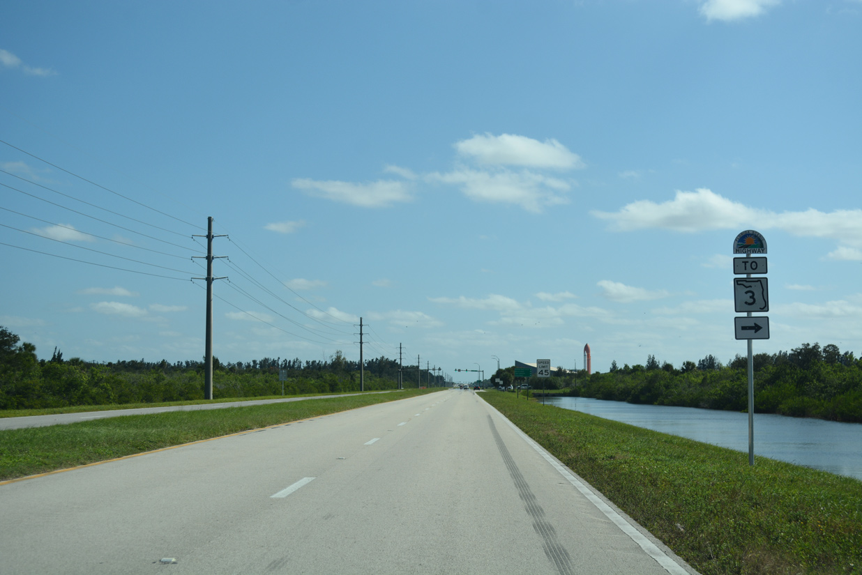
Connecting NASA Parkway (CR 405) with Kennedy Parkway south to SR 3, Space Commerce Way bypasses Kennedy Space Center (KSC) to the southwest. SR 3 extends the Indian River Lagoon Scenic Highway south to Cape Canaveral.
10/21/18
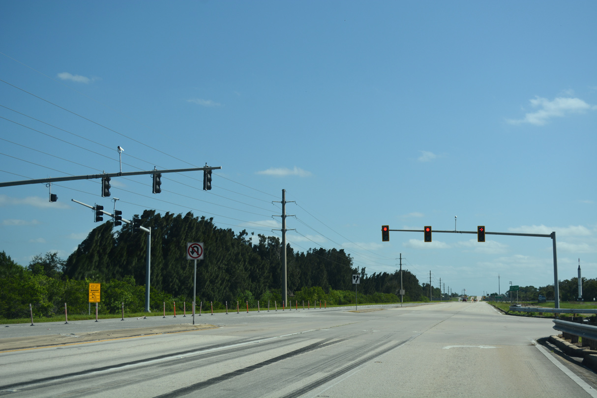
NASA Parkway meets Kennedy Parkway directly, but the diamond interchange between the two roadways falls beyond the KSC restricted area.
10/21/18
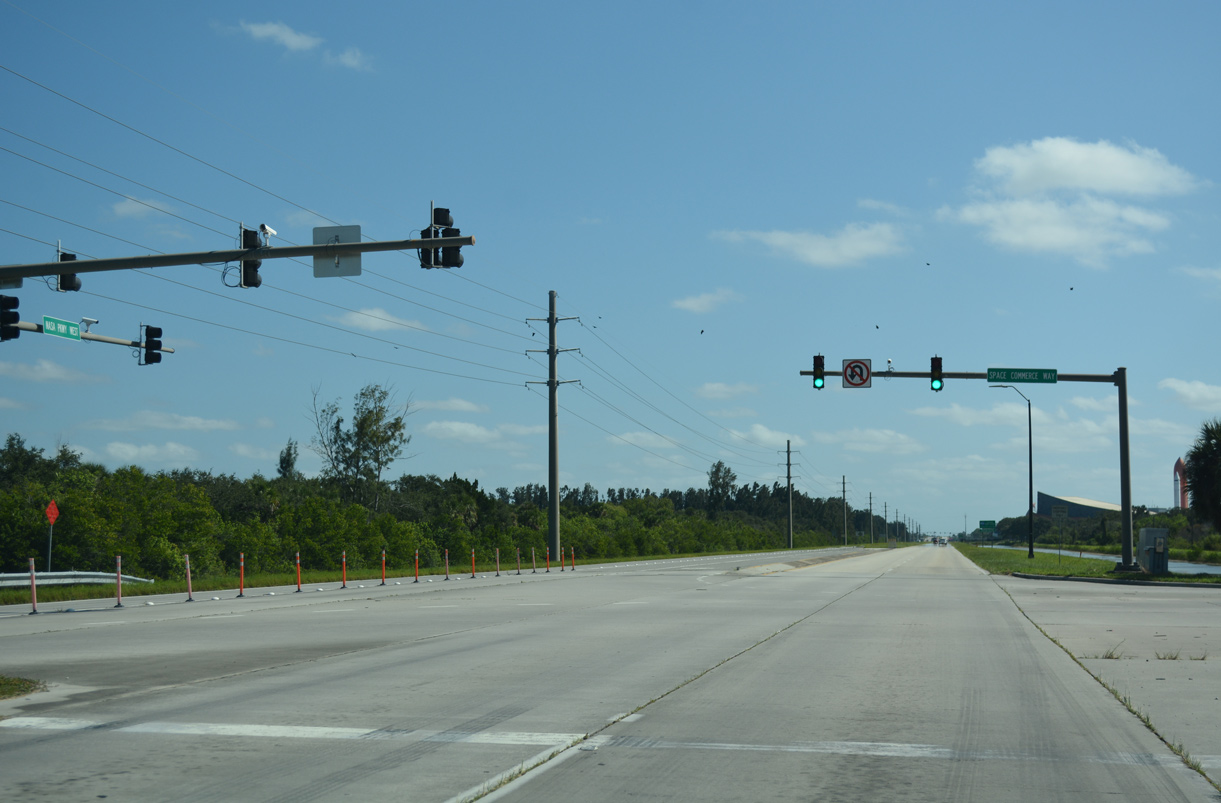
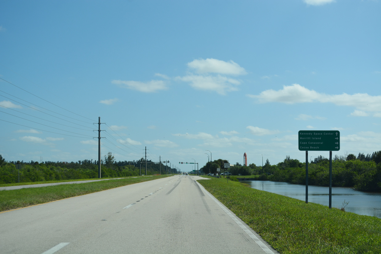
Space Commerce Way navigates along a stair stepped route 2.6 miles southeast from the signal at NASA Parkway to Kennedy Parkway.
10/21/18
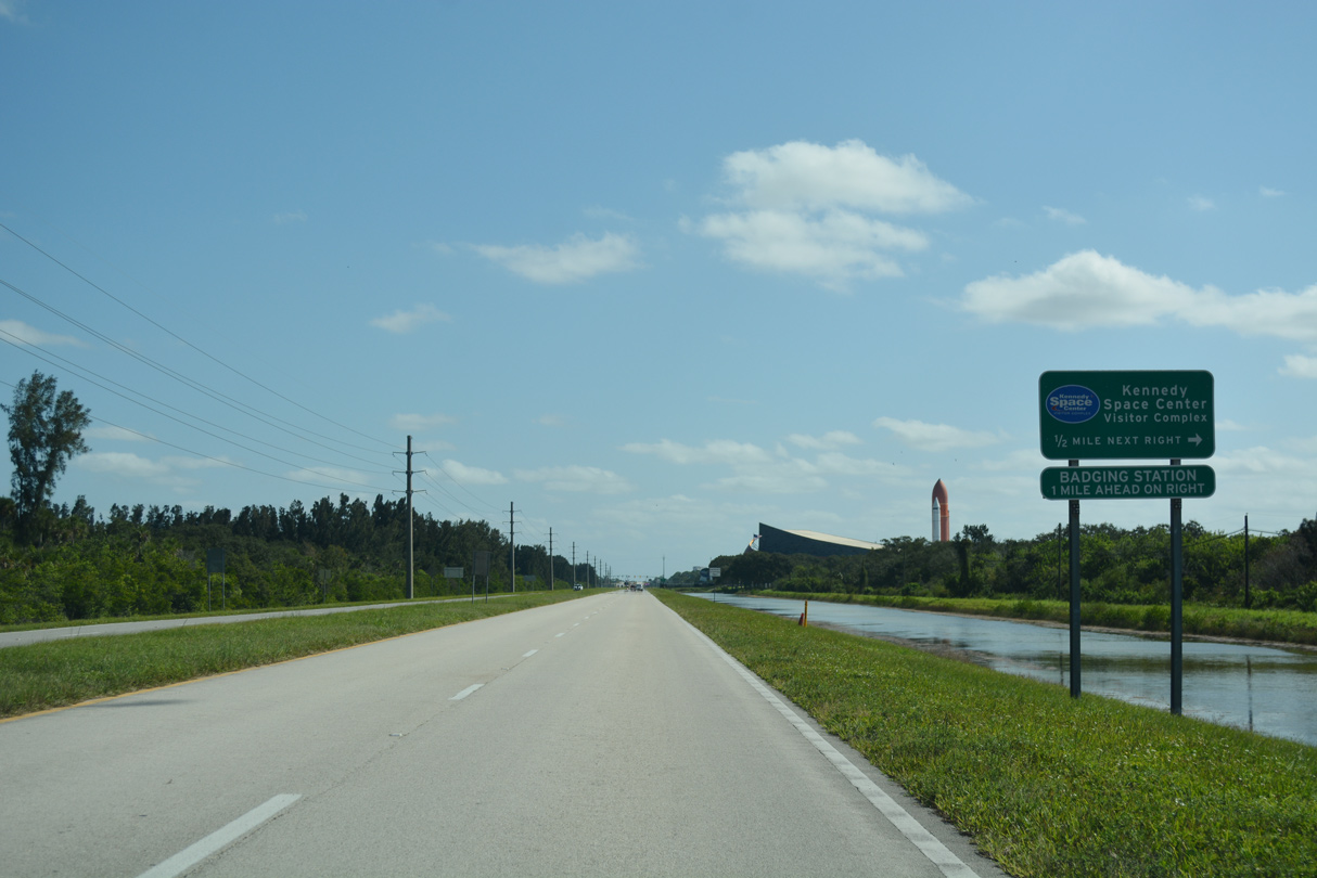
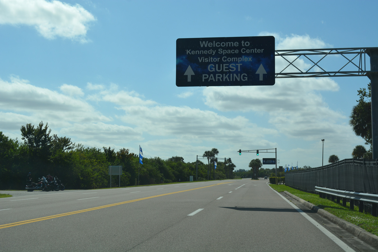
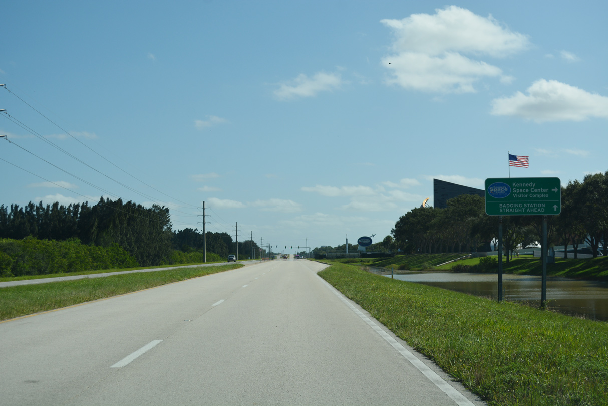
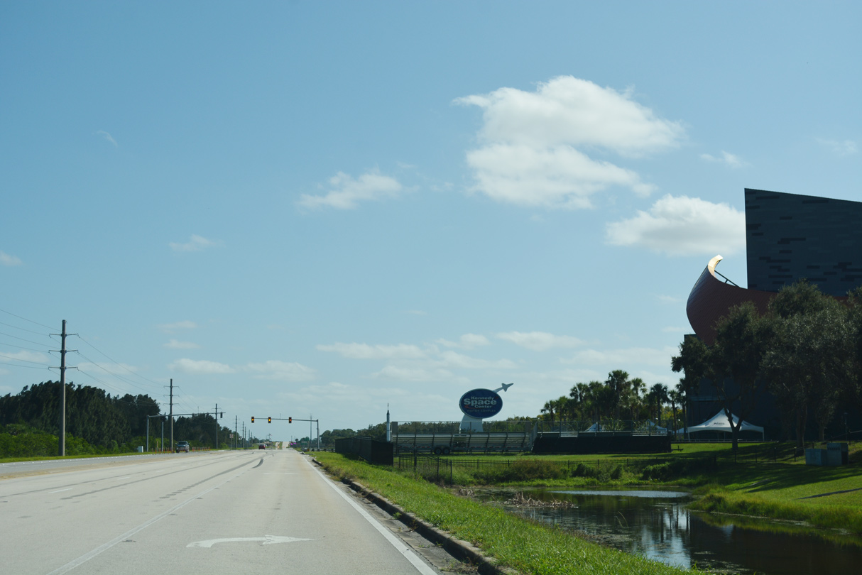
The Kennedy Space Center Visitor Complex lies another 0.75 miles east from Space Commerce Way along NASA Parkway.
10/21/18
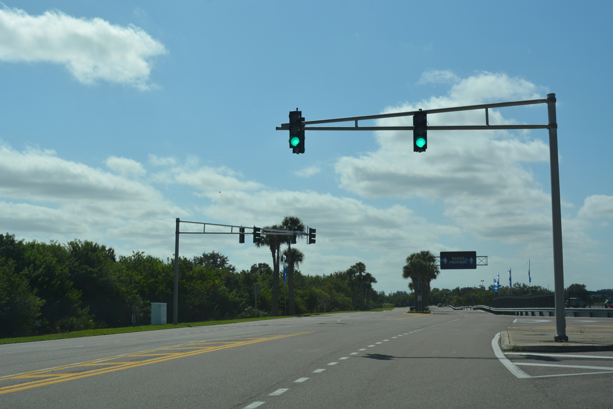
Beyond the signalized entrance to the Kennedy Space Center Visitor Complex, NASA Parkway is a restricted road requiring a badge for access. The succeeding roadway east to Kennedy Parkway was formerly open to the public.
10/21/18
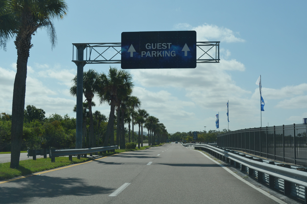
Following the KSC Visitor Complex access road south from NASA Parkway to the Guest Parking area.
10/21/18
Photo Credits:
- Alex Nitzman: 08/25/07, 10/21/18, 09/12/22
Connect with:
Page Updated Sunday September 25, 2022.