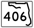
State Road 406 (Garden Street) in Titusville joins Interstate 95 with U.S. 1 at Downtown Titusville and A. Max Brewer Parkway across the Indian River. SR 406 lines Garden Street for 2.95 miles east from the diamond interchange (Exit 220) with I-95 to the couplet of U.S. 1 along Hopkins Avenue south and Washington Avenue north.
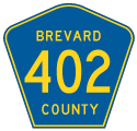
Signed as Volusia County Road 402, SR 406 continues northeast along A. Max Brewer Parkway 1.73 miles to John F. Kennedy Space Center and Merritt Island National Wildlife Refuge. CR 402 extends 6.56 miles east along Beach Road to Canaveral National Seashore.
Historically State Road 406 was a short route, following Main Street east from South Street (old SR 405) to U.S. 1 (Washington Avenue) in Downtown Titusville. With the construction of Interstate 95, SR 406 was extended along an overlap with SR 405 from South Street west on Main Street and north on Dixie Avenue to Garden Street. SR 405 continued northwest along Dixie Avenue while SR 406 joined Garden Street to I-95.

East
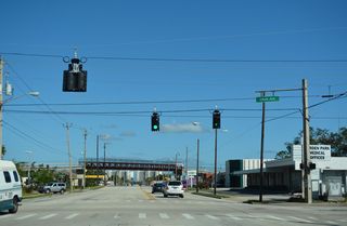
Unsigned CR 406 along Garden Street east becomes SR 406 at the diamond interchange (Exit 220) with Interstate 95.
09/12/22
09/12/22

09/12/22
09/12/22
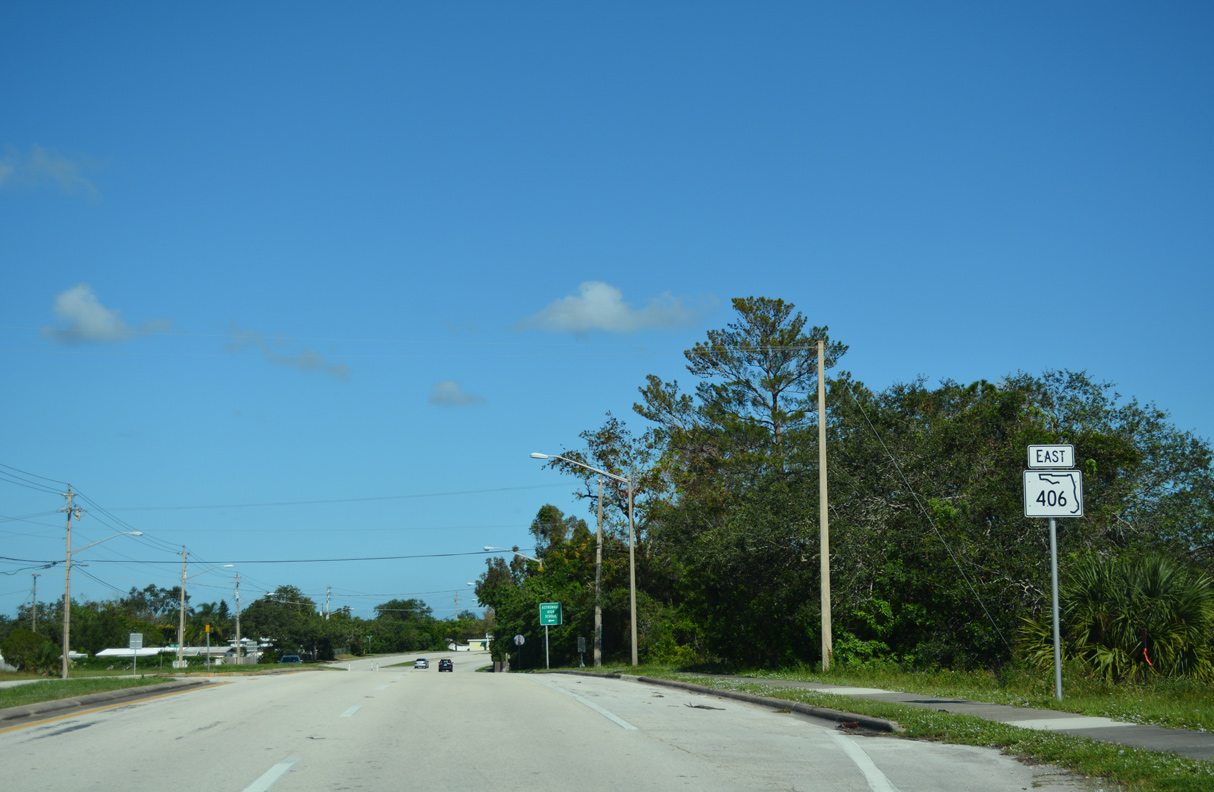
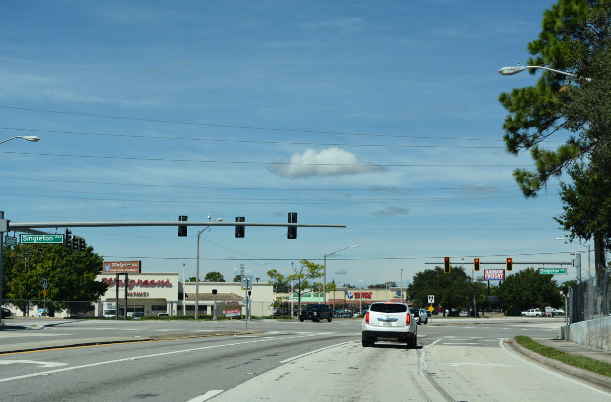
SR 406 (Garden Street) arcs northward from Interstate 95 east to Singleton Avenue.
10/14/17
Singleton Avenue links SR 406 (Garden Street) with SR 405 (South Street) to the south and residential areas to the north.
10/14/17
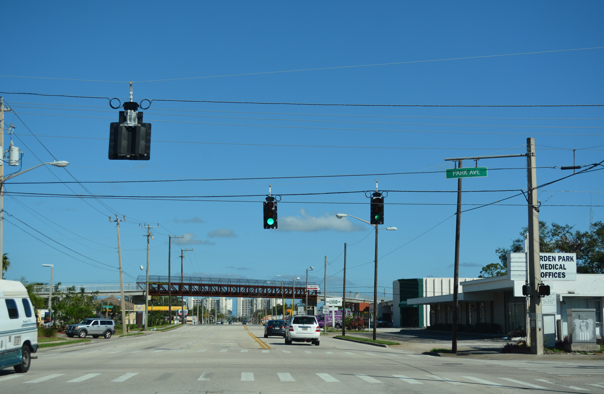
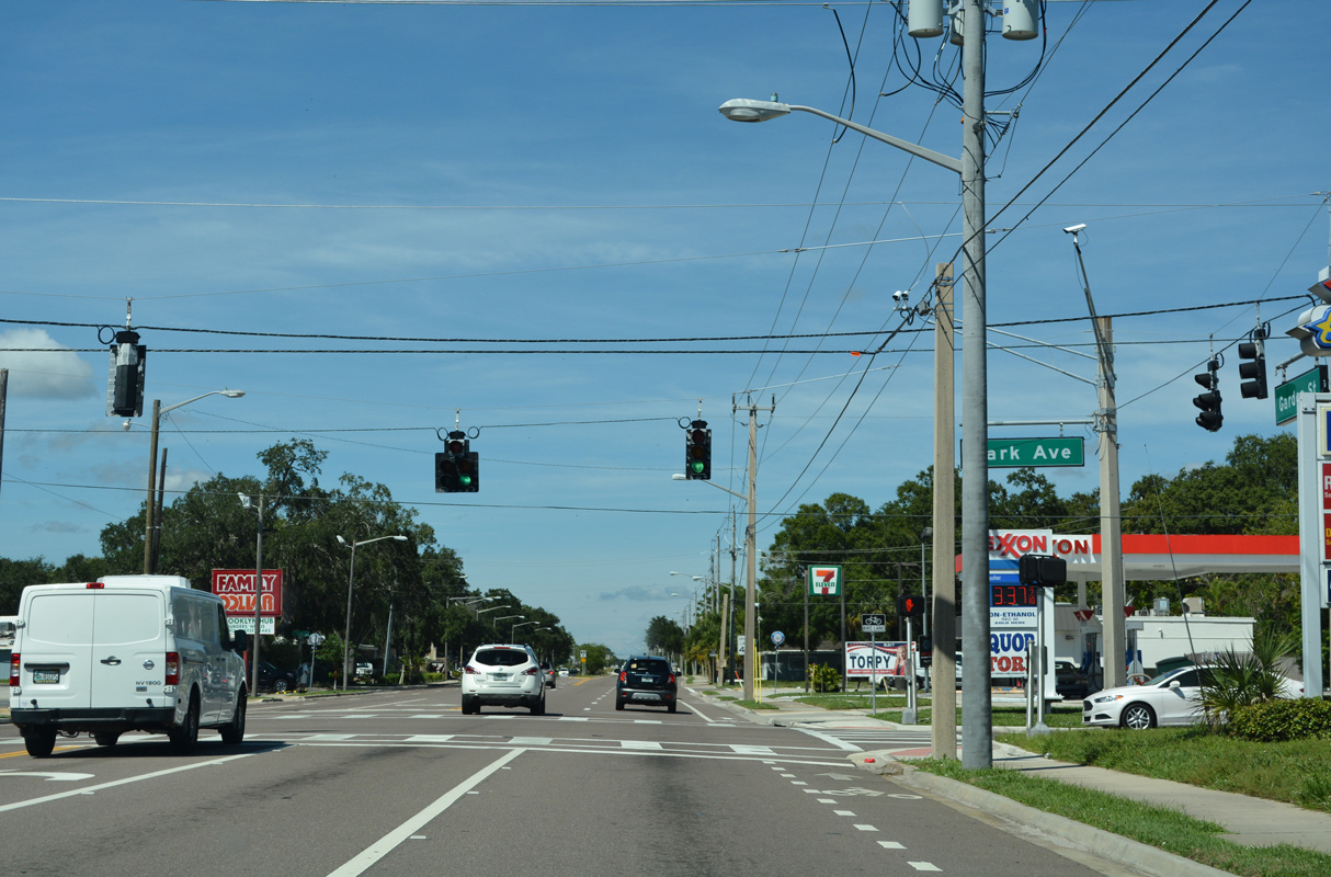
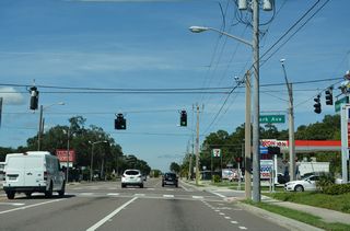
Garden Street east at Park Avenue.
10/14/17
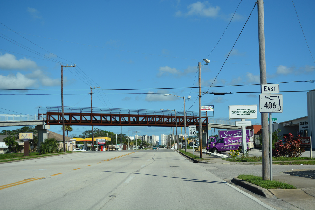
The second reassurance marker for SR 406 east stands along Garden Street at Grannis Avenue.
10/14/17
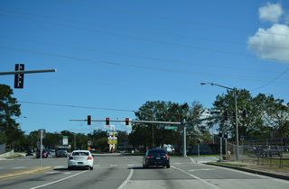
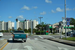
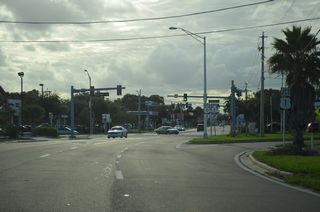
Traffic lights along Garden Street at Palm Avenue preceding U.S. 1 (Hopkins Avenue / Washington Avenue) were removed by 2019.
10/14/17
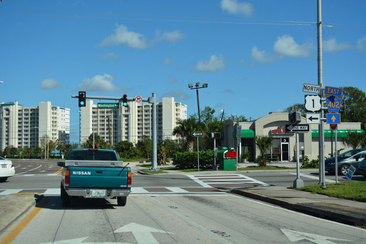
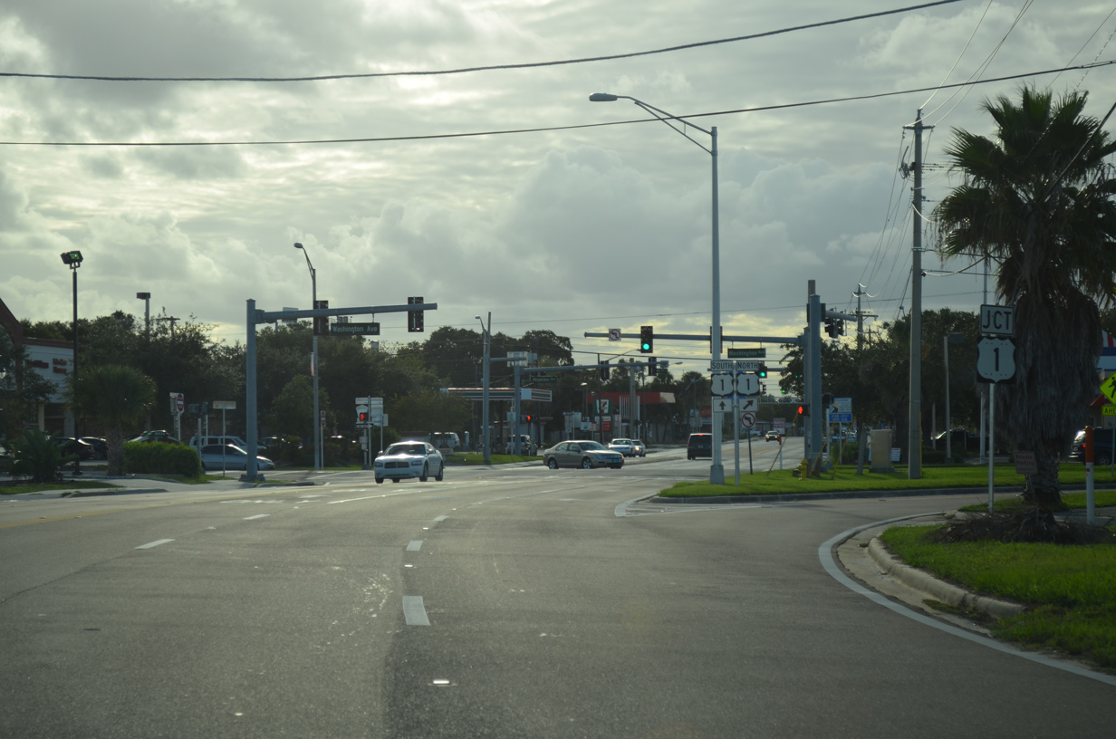
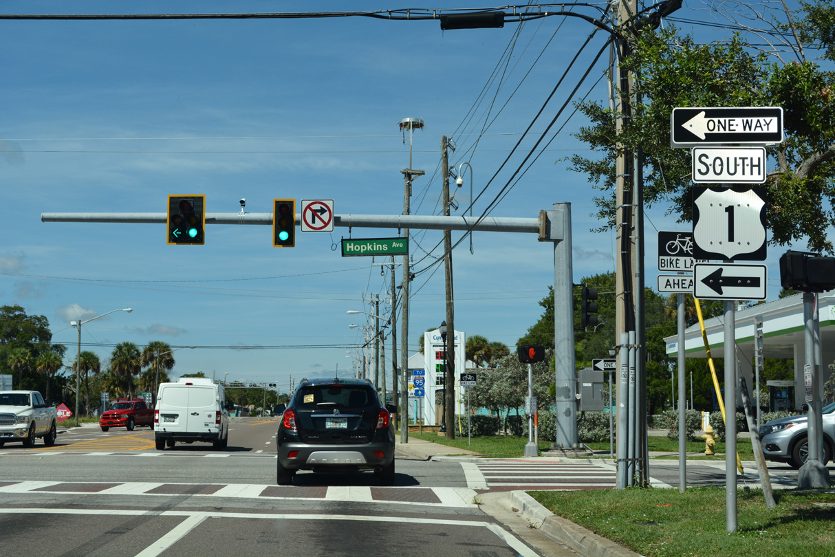
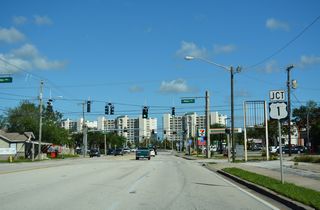
U.S. 1 partitions along the couplet of Hopkins Avenue south and Washington Avenue north through the Titusville business district.
10/14/17
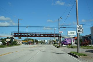
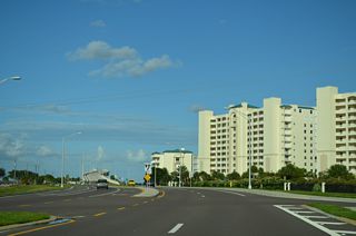
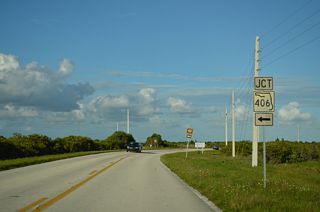
U.S. 1 (Washington Avenue) turns northwest from Titusville to SR 46 at Mims. Marked as CR 402, SR 406 east transitions onto A. Max Brewer Parkway northeast to Merritt Island.
10/14/17

East
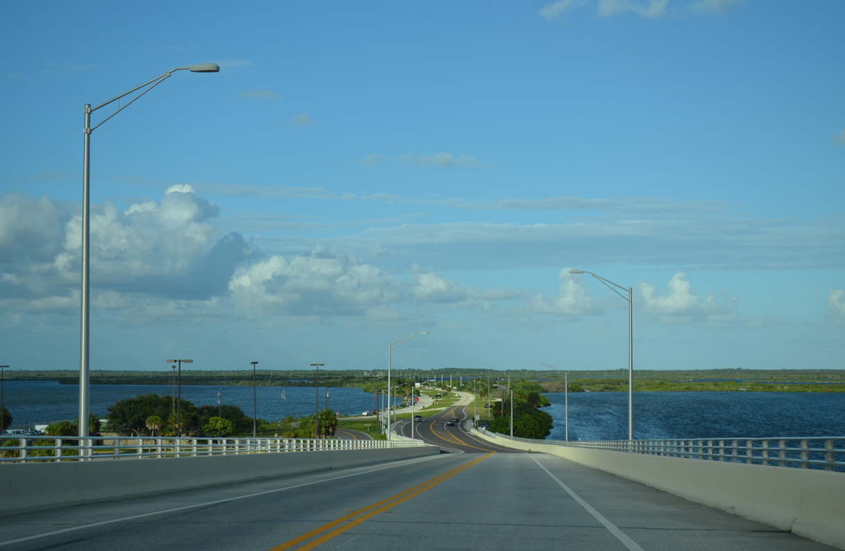
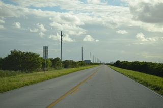
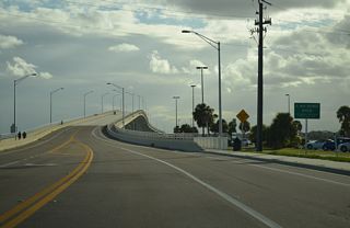
A. Max Brewer Memorial Parkway angles northeast from Indian River Avenue by Sand Point Park toward Merritt Island.
09/28/13
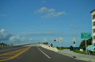
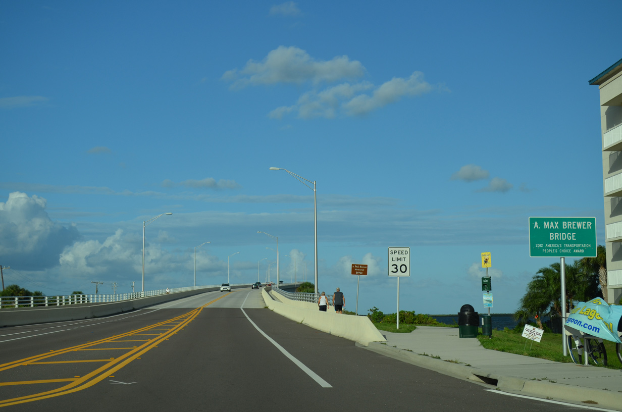
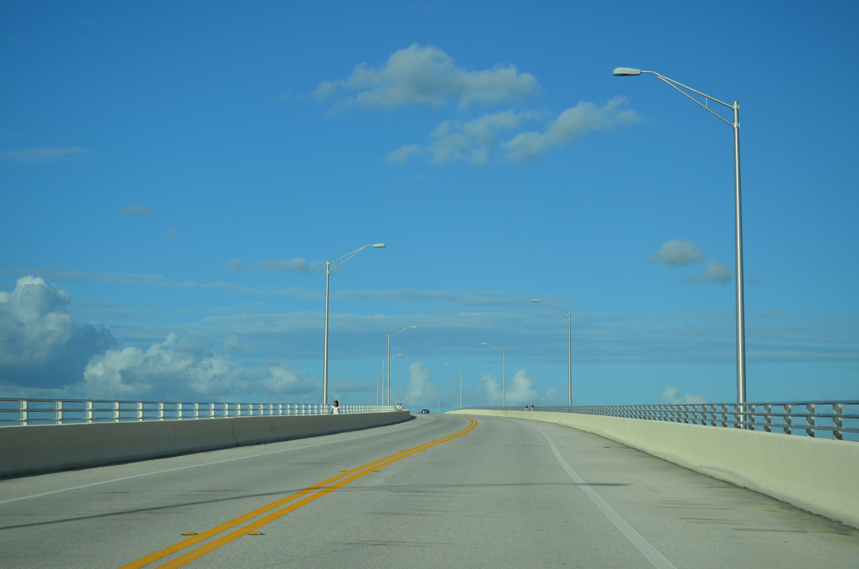
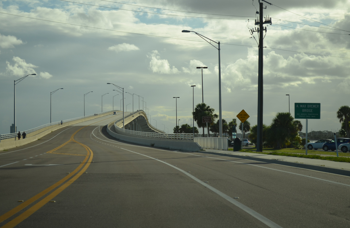
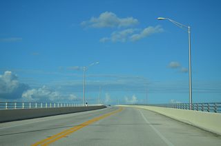
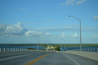
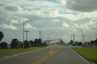
Completed in 2010, the A. Max Brewer Bridge measures 3,209 feet in length (Baughn, n.d.) across the Indian River from Sand Point to a causeway north of Gator Creek.
09/28/13
09/28/13
09/28/13

09/28/13
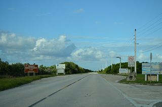
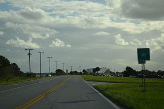
State maintenance concludes along A. Max Brewer Parkway at the entrance to Merritt Island National Wildlife Refuge.
09/28/13
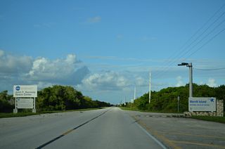
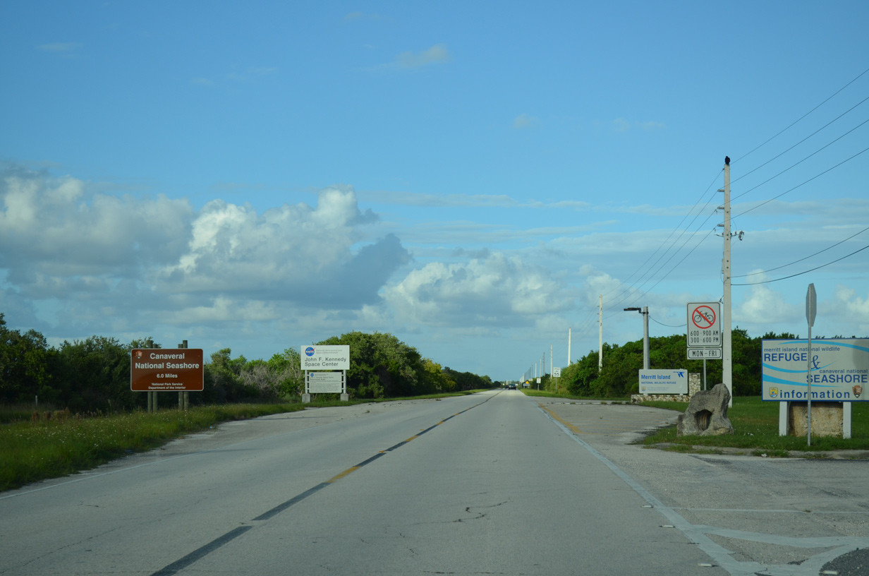
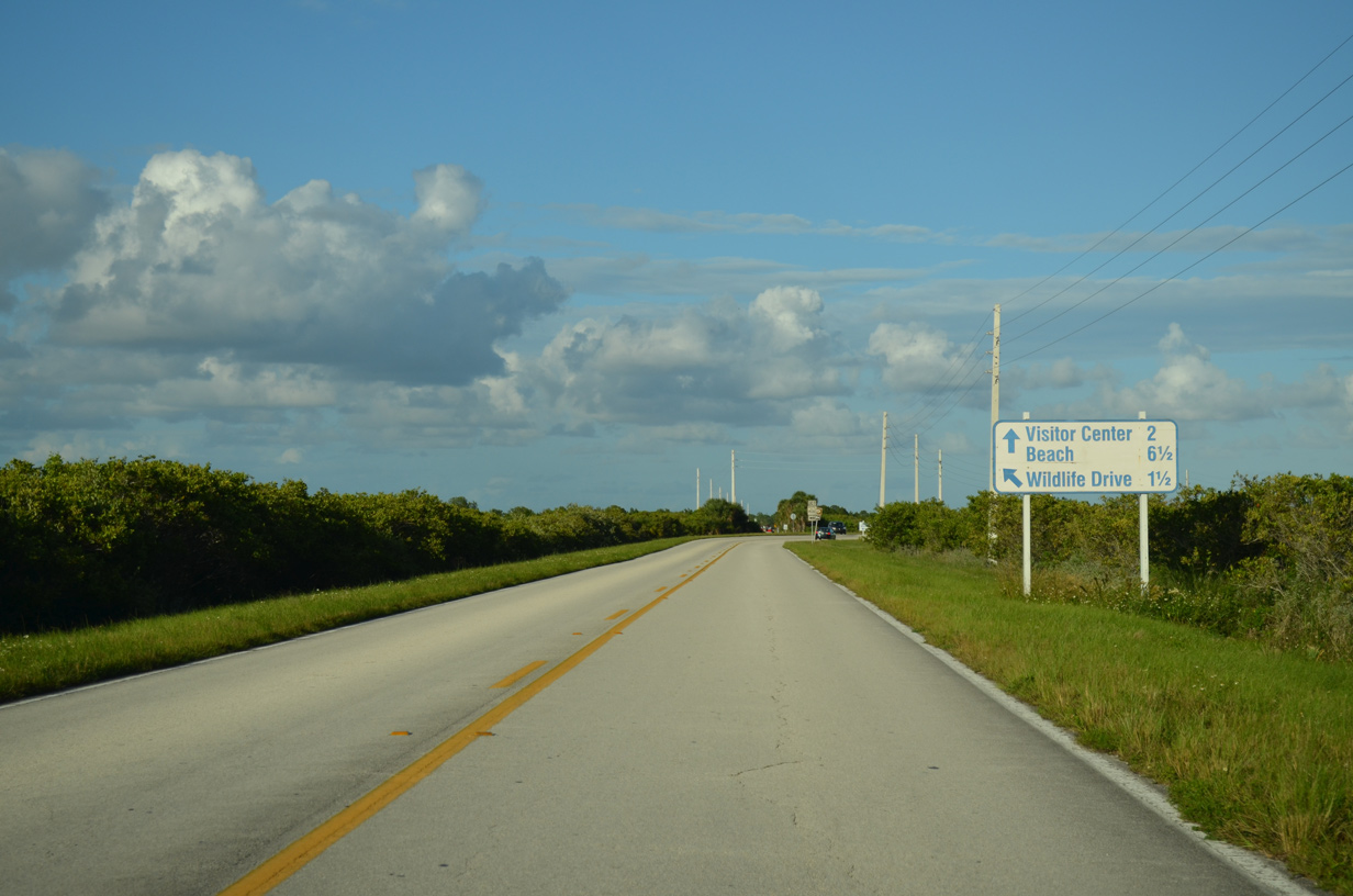
County Road 402 extends 6.56 miles east into John F. Kennedy Space Center to Canaveral National Seashore.
09/28/13

CR 402 lines a causeway between Puckett Creek and Gator Creek.
09/28/13
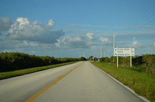
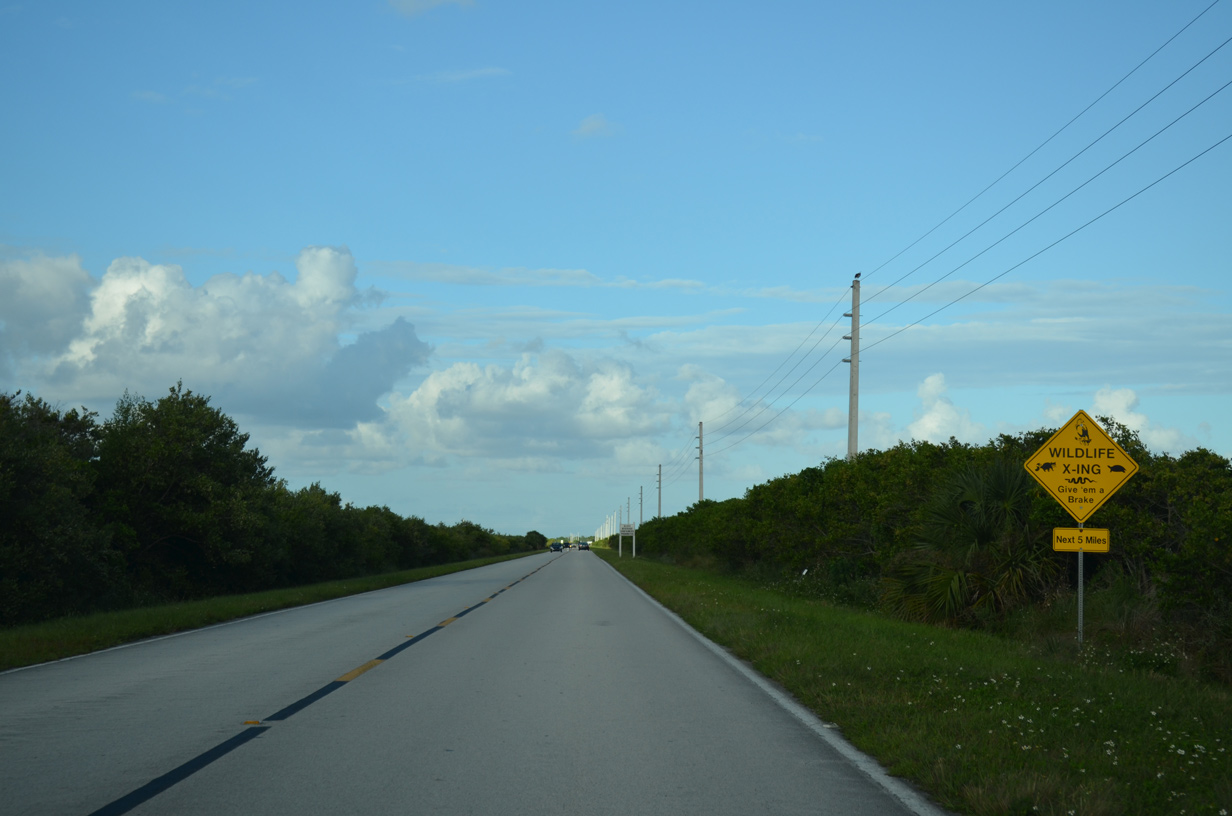
CR 402 turns east onto Beach Road to Canaveral National Seashore. Black Point Wildlife Drive branches northeast.
09/28/13
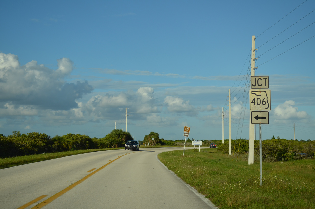
An older SR 406 shield referenced Black Point Wildlife Drive where CR 402 turns onto Beach Road. This shield was missing by 2019.
09/28/13
West
CR 402 turns southwest from Beach Road onto A. Max Brewer Parkway at Black Point Wildlife Drive.
09/28/13
CR 402 (A Max Brewer Parkway) west leaves John F. Kennedy Space Center at the Titusville city line. SR 406 takes over along the ensuing stretch.
09/28/13
West
09/28/13
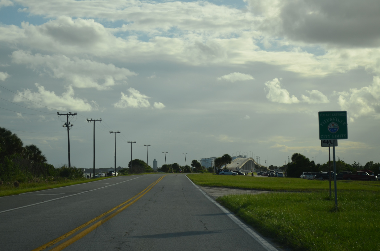
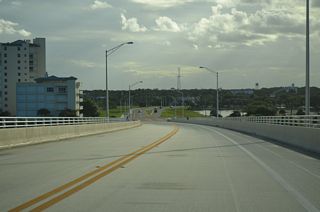
The A. Max Brewer Bridge spans Indian River southwest to Sand Point in Titusville. The bridge won the 2012 America's Transportation People's Choice Award.
09/28/13
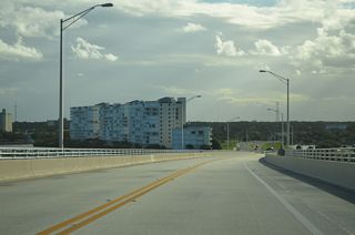
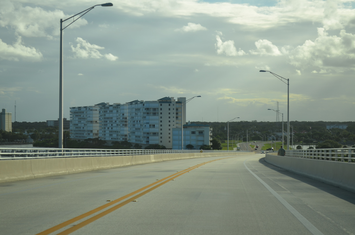
The Harbor Pointe Condominiums line Indian River just south of A. Max Brewer Parkway.
09/28/13
09/28/13
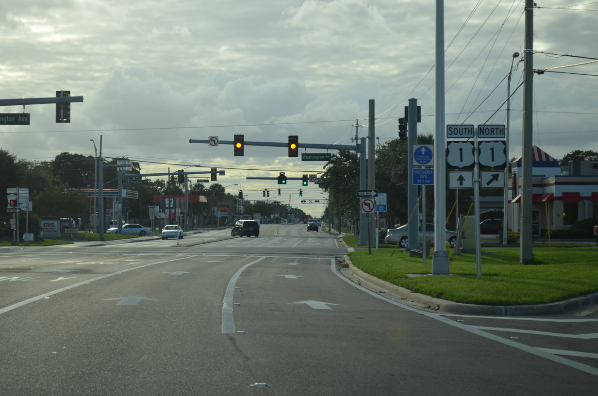
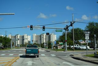
SR 406 expands into a four lane boulevard at U.S. 1 north on Washington Avenue.
09/28/13

U.S. 1 travels north from Titusville to Mims, Scottsmoor and Oak Hill in Volusia County.
09/28/13
Southbound U.S. 1 follows Hopkins Avenue through Downtown Titusville. Following the west banks of the Indian River, U.S. 1 continues south to Port St. John and Cocoa.
09/12/22
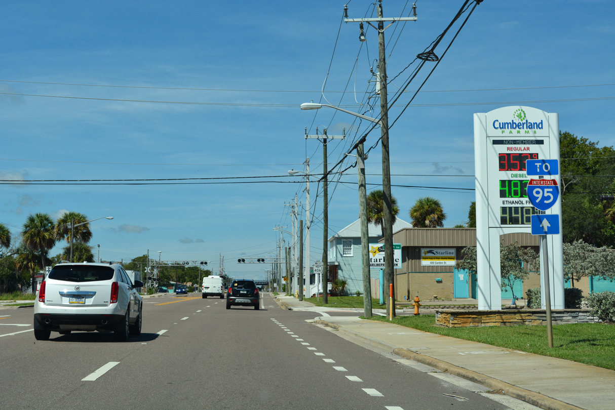
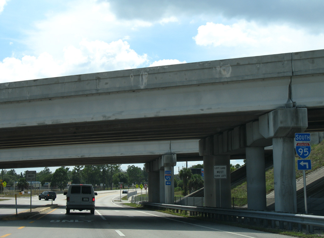
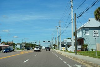
SR 406 continues west from U.S. 1 along Garden Street. Replaced by 2011, a state named trailblazer for Interstate 95 preceded the intersection with Palm Avenue, where signals were removed by 2019.
08/25/07
09/12/22
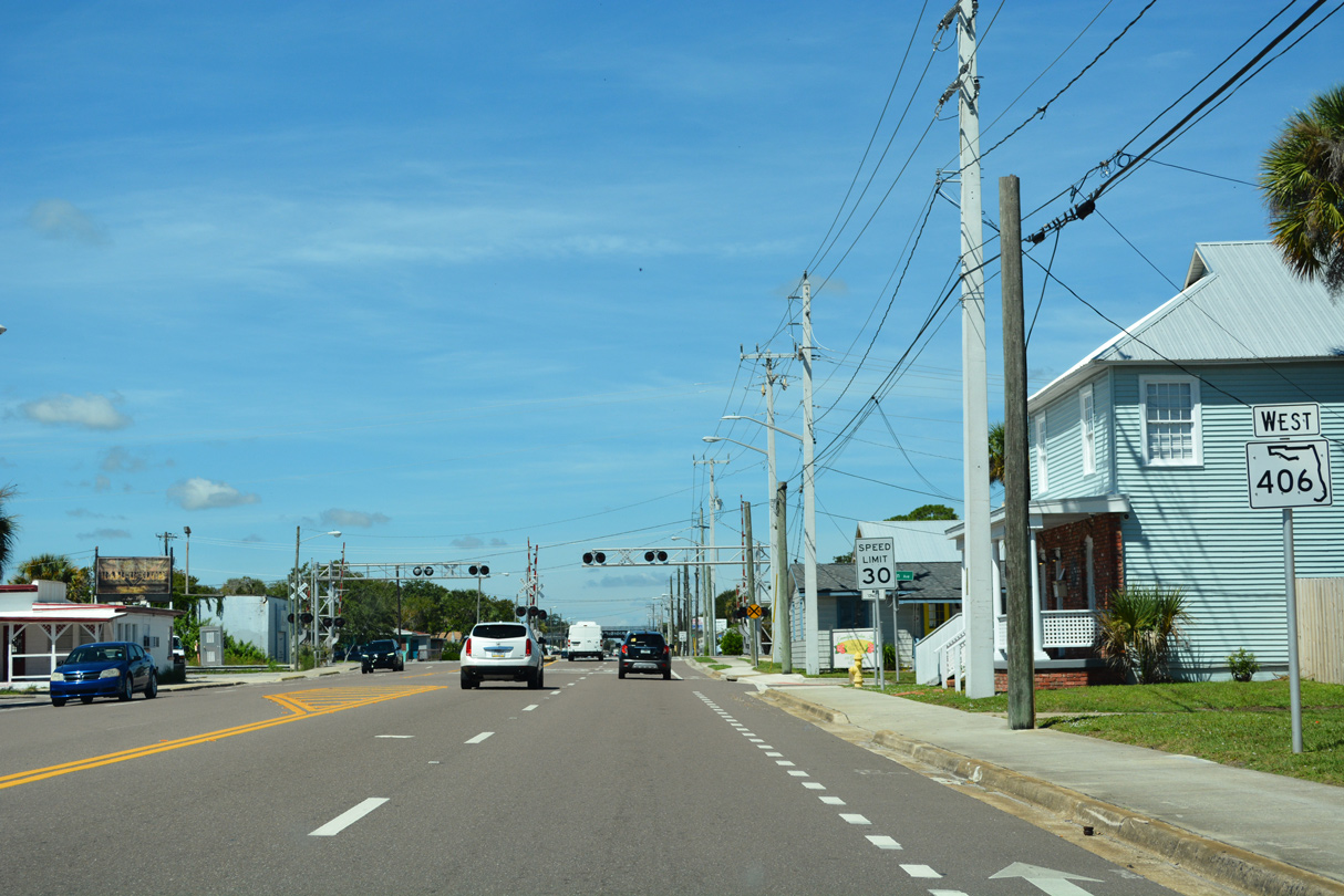
The first confirming marker for SR 406 west. The speed limit was reduced from 40 to 30 miles per hour after 2011.
09/12/22
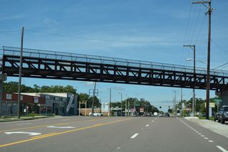
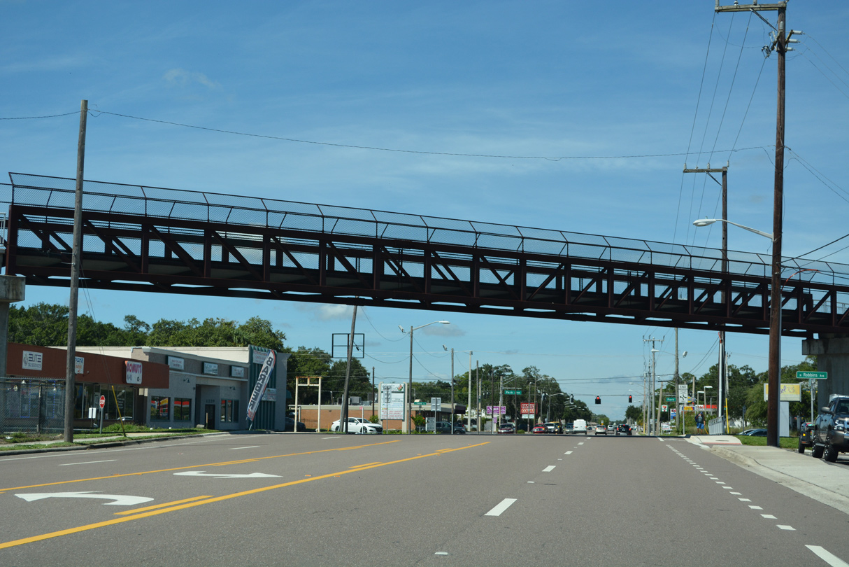
The East Central Regional Rail Trail spans SR 406 (Garden Street) at Robbins Avenue.
09/12/22
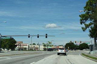
SR 406 (Garden Street) west at Park Avenue (old SR 405). Unsigned CR 405 stems north at the succeeding intersection with Dixie Avenue.
09/12/22
SR 406 (Garden Street) shifts north through an S-curve from Singleton Avenue to Interstate 95.
09/12/22
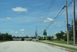
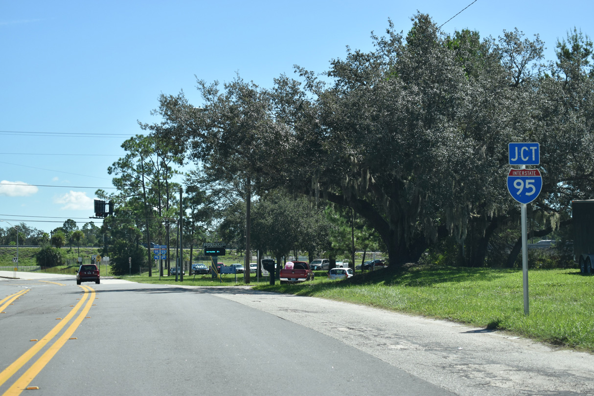
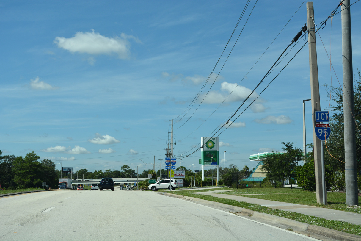
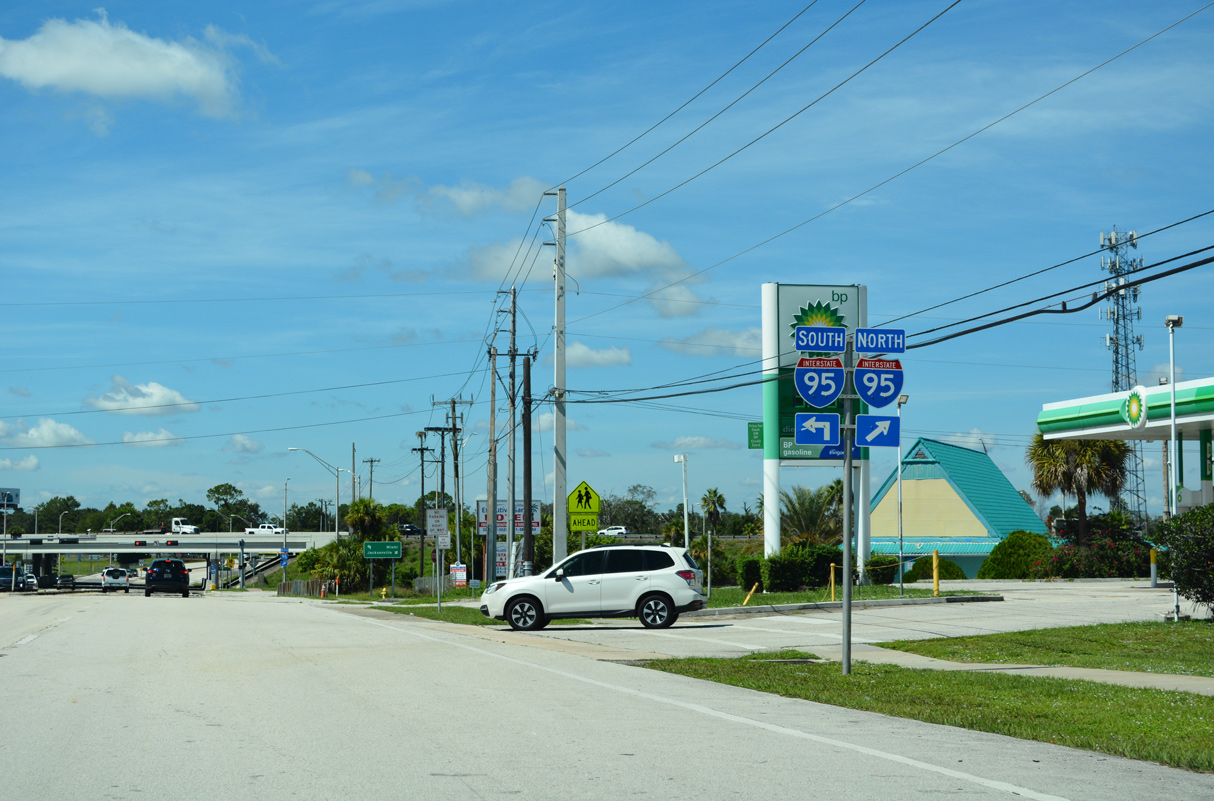
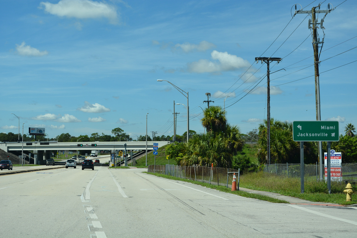
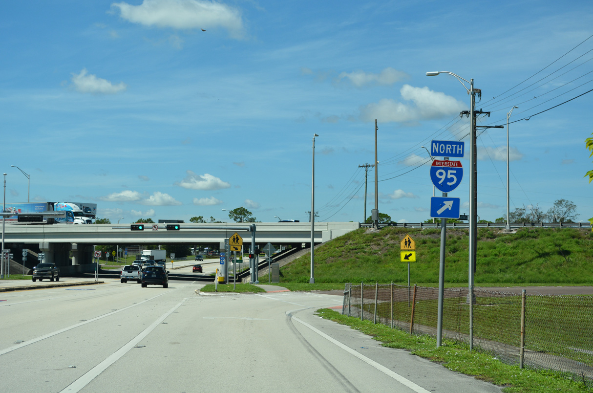
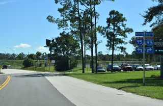
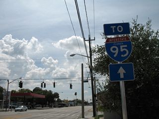
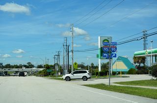
Advancing southwest from Clarewood Boulevard, SR 406 (Garden Street) enters a diamond interchange (Exit 220) with Interstate 95.
09/12/22
09/12/22
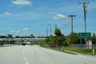
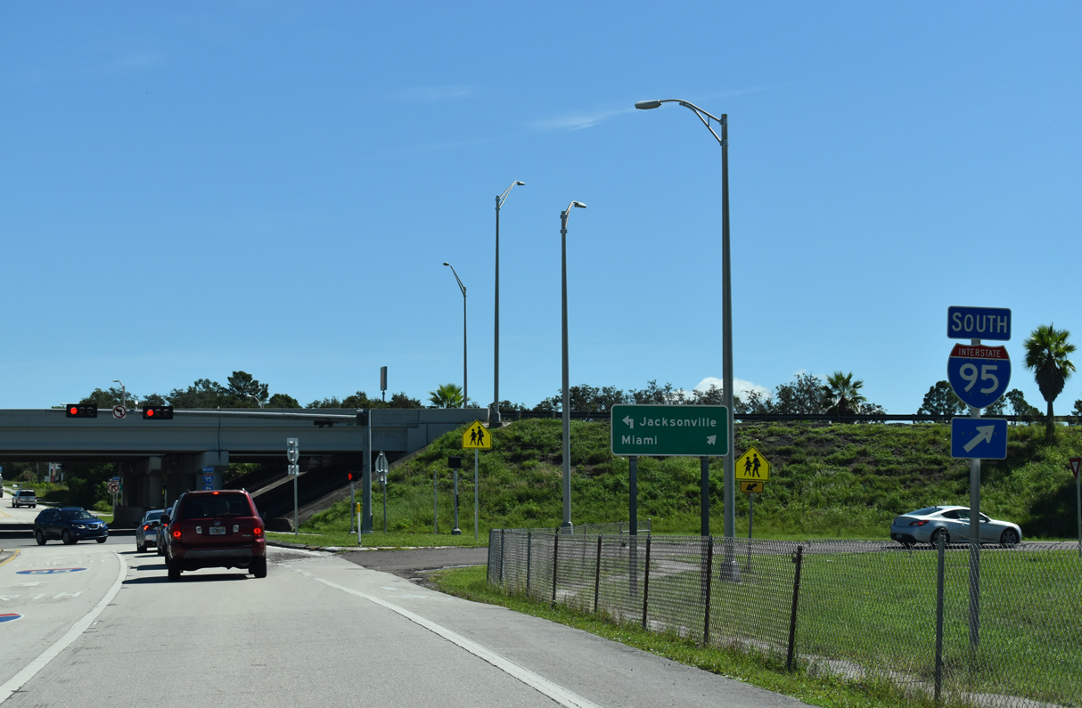
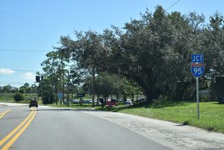
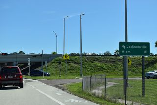
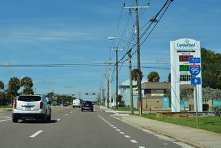
Interstate 95 heads north from Titusville to New Smyrna Beach, Daytona Beach and Jacksonville.
09/12/22
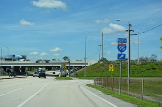
09/12/22

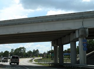
All state named shields for Interstate 95 along SR 406 were replaced by 2011.
08/25/07
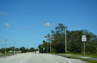
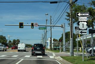
SR 406 ends just west of I-95 at South Lake Elementary school. Unsigned CR 406 spurs 0.41 miles west along Garden Street to Carpenter Road.
08/25/07
Page Updated Sunday September 25, 2022.