
State Road 434 South - Oviedo to University Park

 South
South  East
East
SR 426 commences a 14.5 mile route southwest to Goldenrod, Aloma, Winter Park and Orlando from Broadway Street and SR 419/434 (Central Avenue). CR 426 extends the route northeast from Oviedo to Geneva.
02/08/08

Prior to a four lane expansion project completed in 2018, Central Avenue was a one way street southbound from SR 426 / CR 419 (Broadway Street) to Garden Street. Garden Street took SR 434 northbound to Railroad Street.
02/08/08
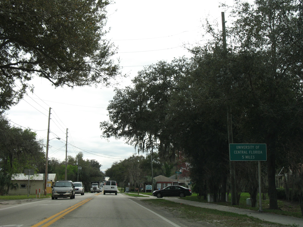
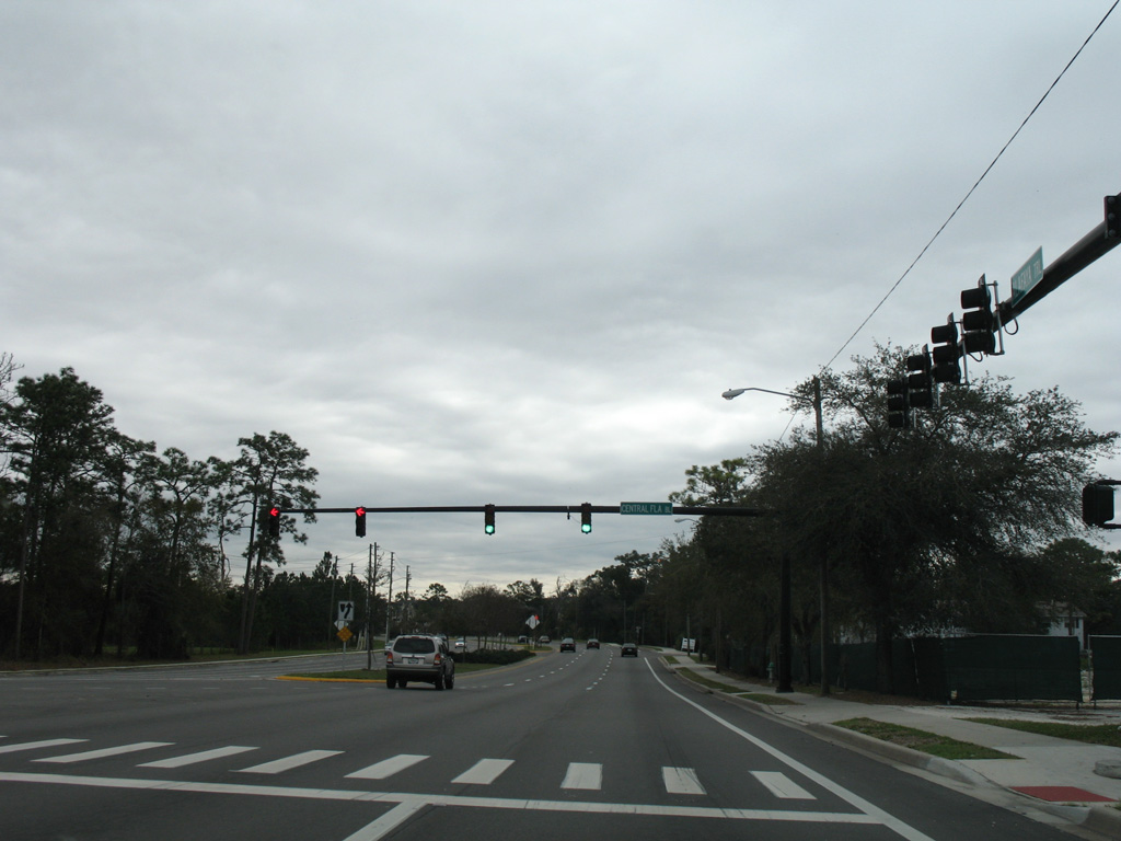
Heading south from Broadway Street (SR 426 west and CR 419 east), a distance sign references the University of Central Florida (UCF). SR 434 intersects the first of four roads leading into the UCF campus in 4.3 miles.
02/08/08
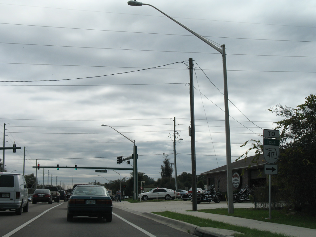
SR 434 (Central Avenue) expands into a divided, four lane arterial just ahead of Mitchell Hammock Road. Mitchell Hammock Road travels one mile west to SR 426, where it becomes Red Bug Lake Road leading into a parclo interchange with SR 417 (Seminole Expressway).
02/08/08
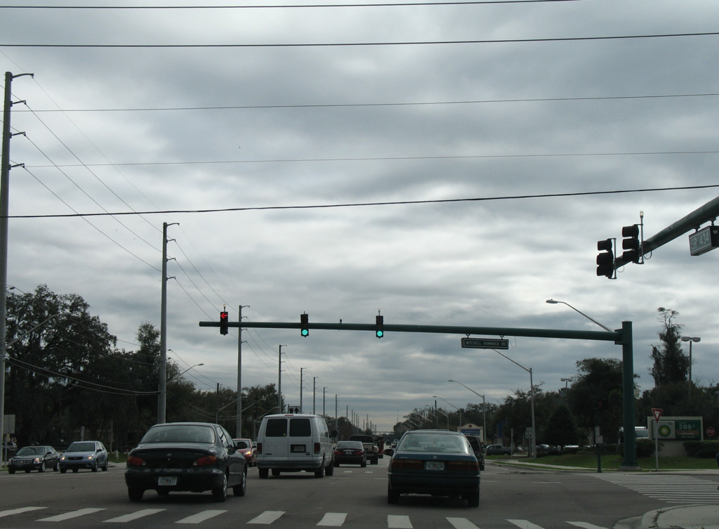
East from SR 434 (Central Avenue), Mitchell Hammock Road is a suburban arterial extending another 1.75 miles to Lockwood Boulevard.
02/08/08
South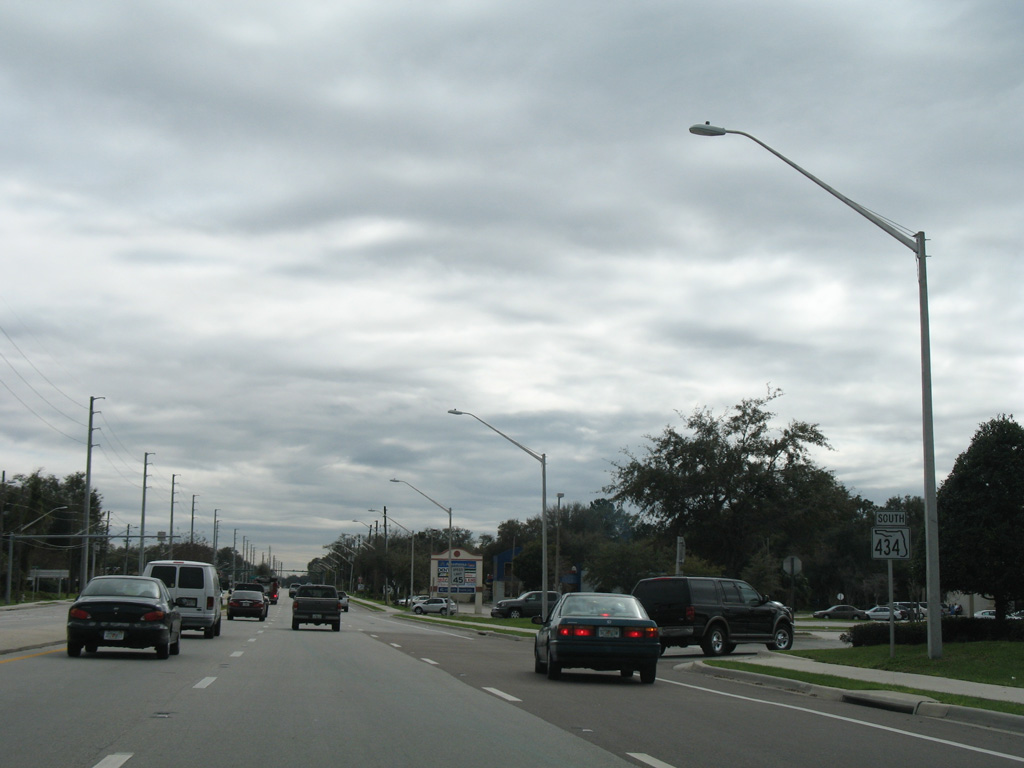
SR 434 switches from east to southbound cardinal directions as it transitions to Alafaya Trail beyond Mitchell Hammock Road.
02/08/08
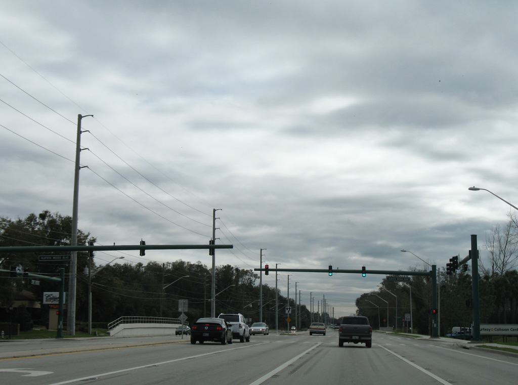
Alafaya Woods Boulevard takes a circuitous course east from SR 434 (Alafaya Trail) to Mitchell Hammock Road through the Alafaya Woods community.
02/08/08
SR 434 (Alafaya Trail) south at Chapman Road.
02/08/08

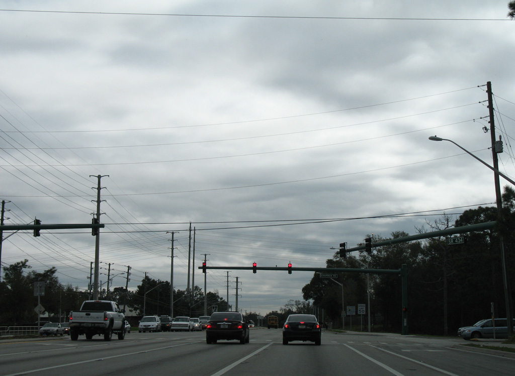
Reassurance marker posted south of Chapman Road.
02/08/08
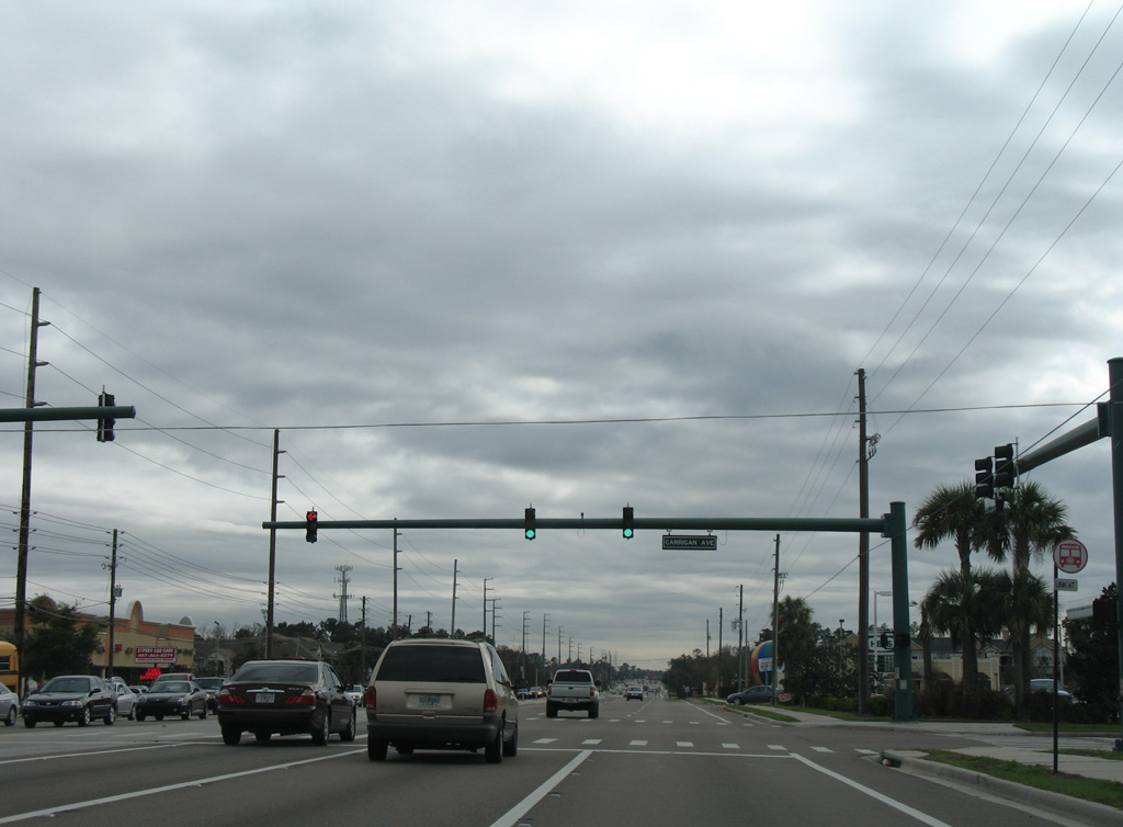
Carrigan Avenue meets SR 434 from residential areas on both sides of Alafaya Trail.
02/08/08
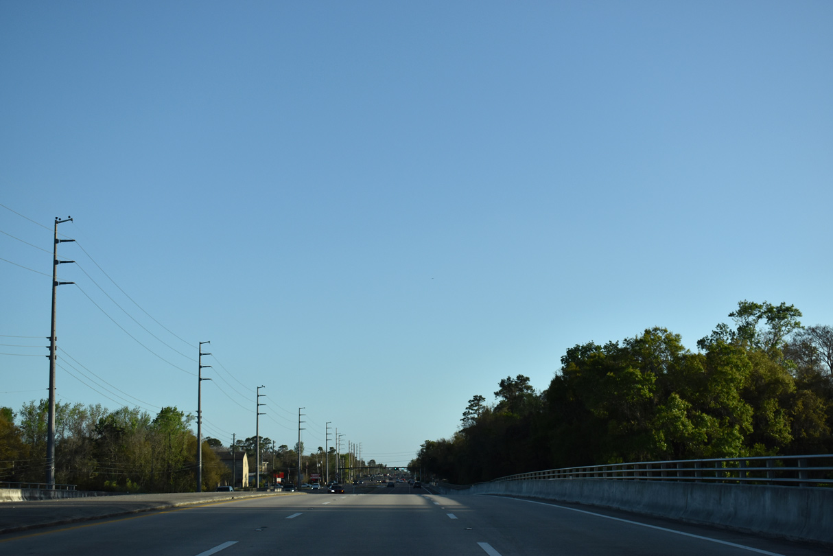
Crossing the Little Econlockhatchee River along SR 434 southbound.
03/06/22
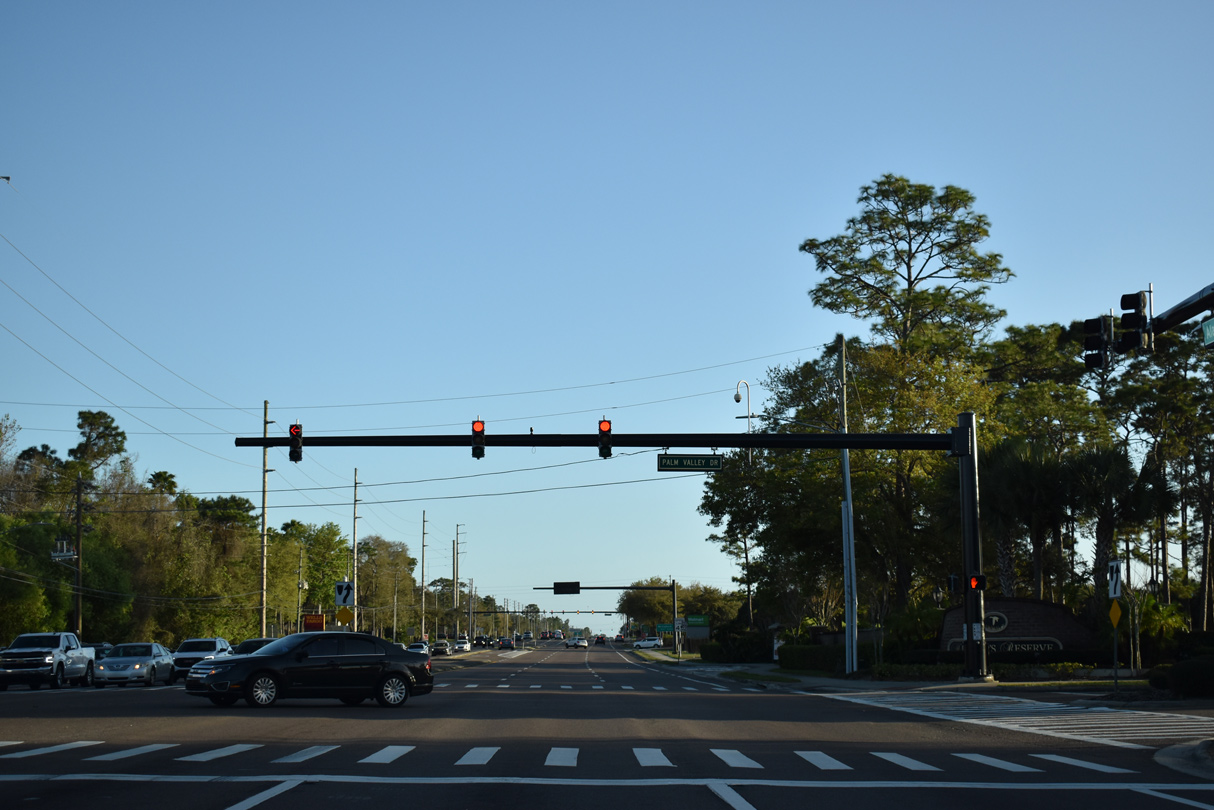
Palm Valley Drive connects Alafaya Trail with apartments to the west and a manufactured home community to the east.
03/06/22
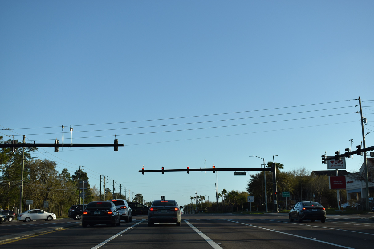
McCulloch Road straddles the Orange County line west to Rouse Road south and east toward Lockwood Boulevard and Spectrum Stadium (home of the UCF Knights).
03/06/22
Gemini Boulevard encircles the University of Central Florida (UCF) campus east from SR 434 (Alafaya Trail) and Corporate Boulevard.
02/08/08

Centaurus Boulevard follows Gemini Boulevard as the second of four roads linking SR 434 (Alafaya Trail) with UCF.
02/08/08
University Boulevard heads west from Gemini Boulevard and UCF to Aloma and SR 436 (Semoran Boulevard).
02/08/08
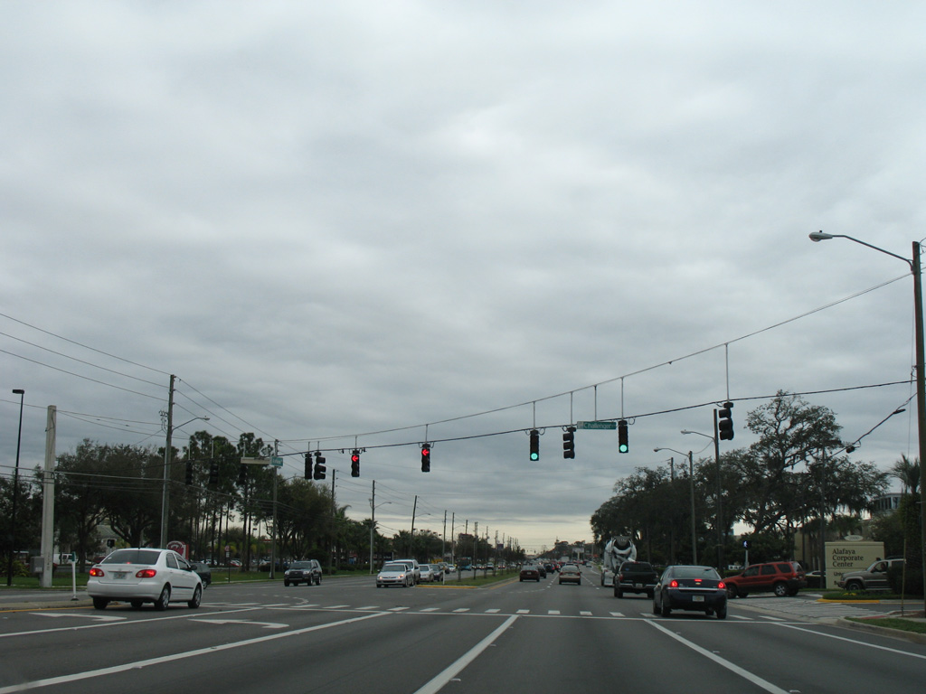
Central Florida Boulevard angles southwest from UCF to meet SR 434 across from Sterling University Lane and the Marquee apartment complex.
02/08/08
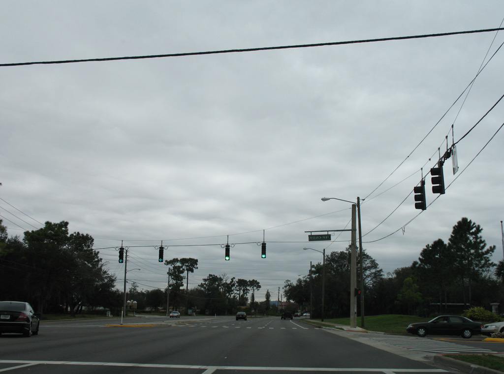
Southbound SR 434 at Research Parkway east.
02/08/08
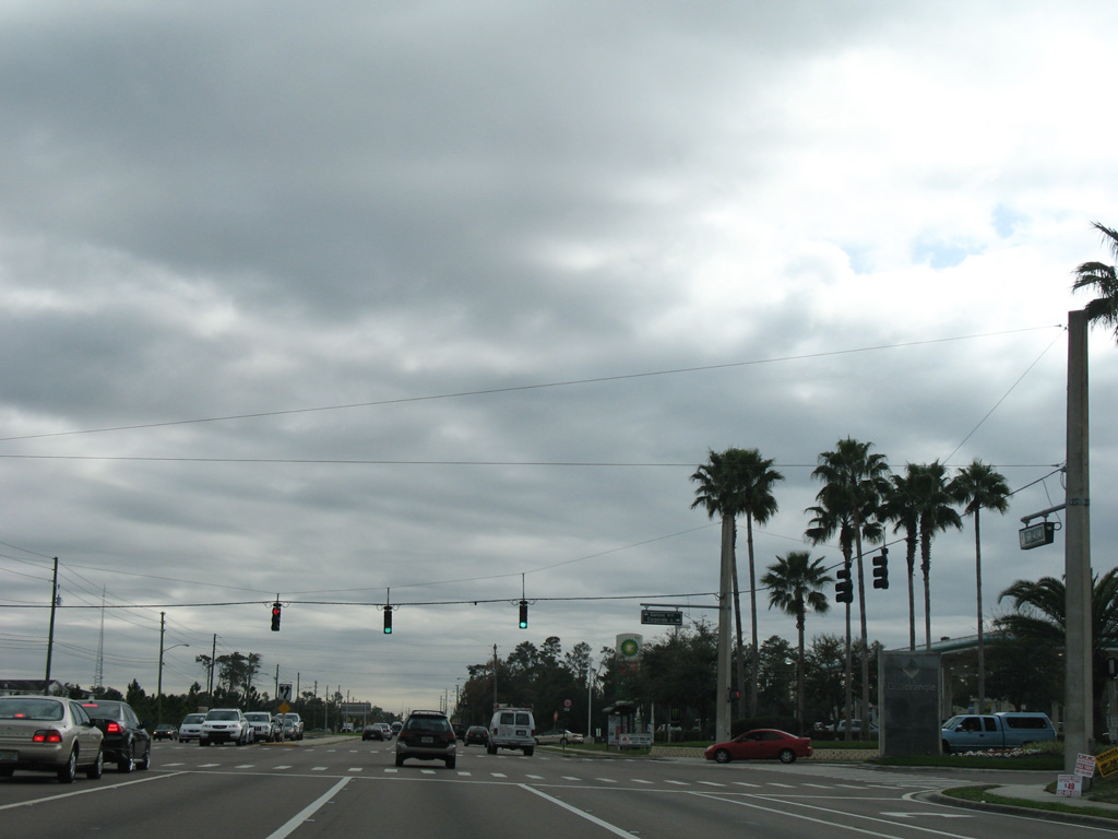
Lokanotosa Trail ties into the signalized intersection with SR 434 across from Science Drive west.
02/08/08
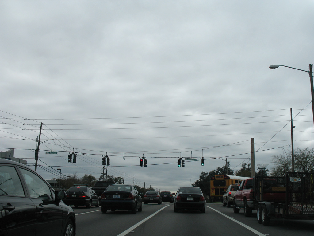
Challenger Parkway winds east from the next signal on SR 434 southbound through University Park to the east end of SR 408.
02/08/08
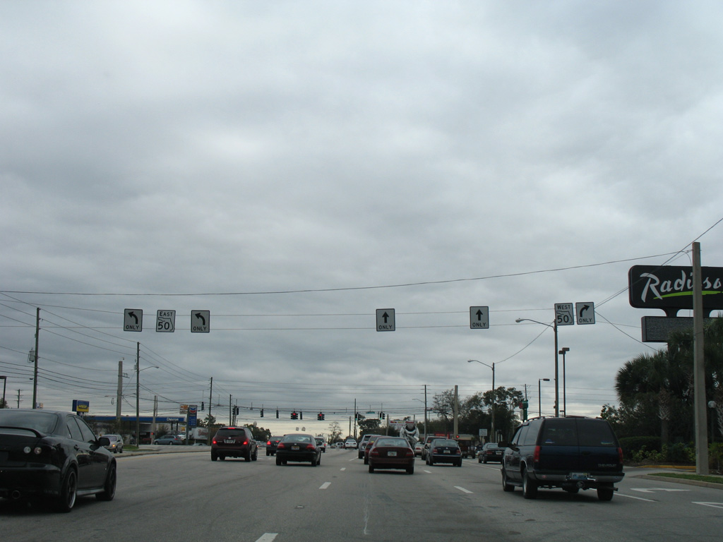
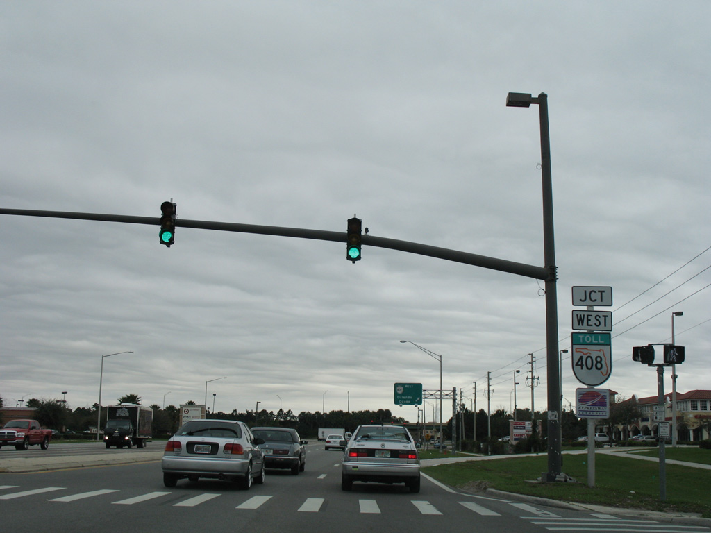
SR 434 south ends at SR 50 (Colonial Drive). The east-west state road joins the Orlando area with Titusville and the Space Coast in Brevard County. Alafaya Trail extends south as an unnumbered arterial to Innovation Way.
02/08/08
Alafaya Trail meets the East-West Expressway a short distance south of SR 50.
02/08/08
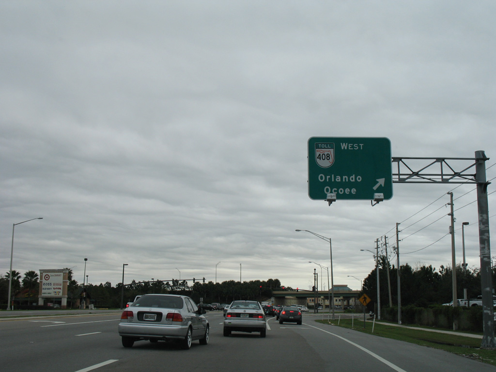
SR 408 originates just east of SR 434 from SR 50 and Challenger Parkway. The toll road travels across the city of Orlando from Union Park to Ocoee.
02/08/08
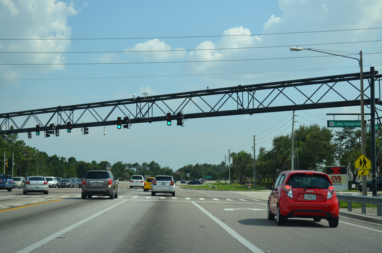
Alafaya Trail intersects Lake Underhill Road just south of SR 408.
07/31/14
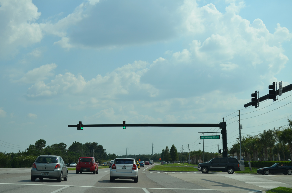
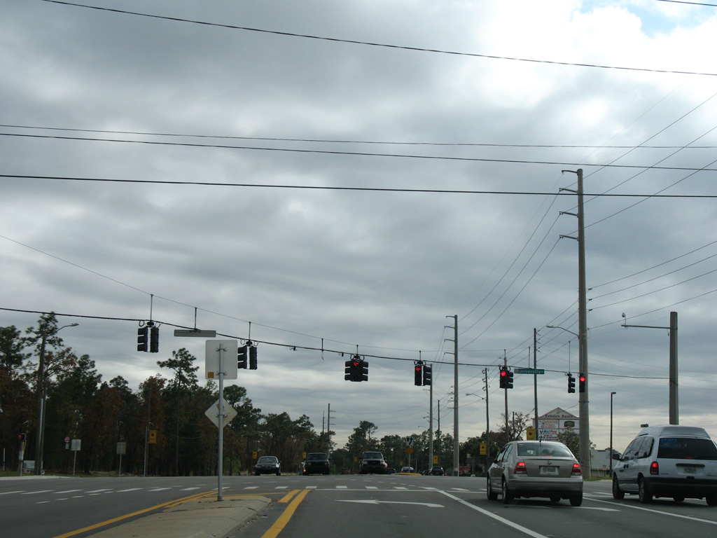
Huckleberry Finn Drive intersects Alafaya Trail at the succeeding traffic light southbound between Waterford Lake Plaza and the Hucklberry Fields subdivision.
07/31/14
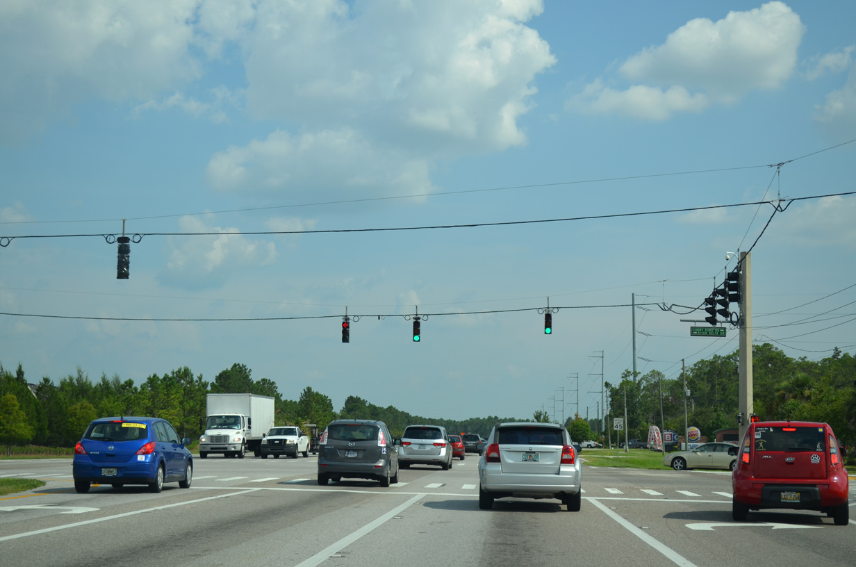
Curry Ford Road extends 6.6 miles east from the end of SR 552 as a locally maintained arterial to end at Alafaya Trail across from River Delta Drive.
07/31/14
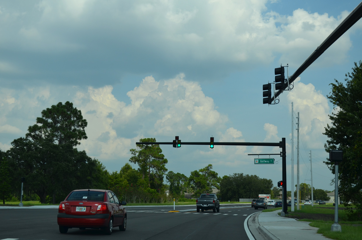
Alafaya Trail curves eastward between the Waterford Lakes development and the Orange County Water Treatment Facility and next intersects Golfway Boulevard north.
07/31/14
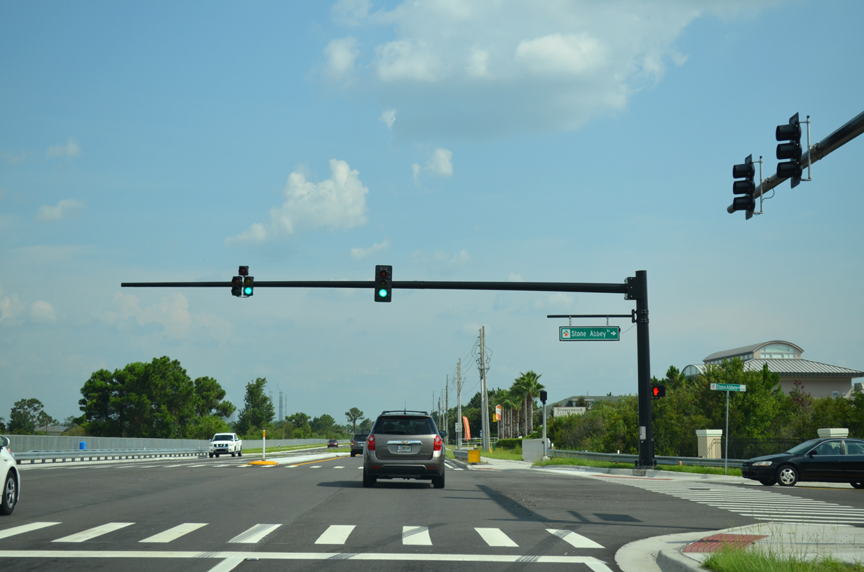
Stoney Abbey Boulevard east from the Stone Forest neighborhood and Stoneybrook Boulevard west from the Stoneybrook golf course community converge at this signal with Alafaya Trail.
07/31/14
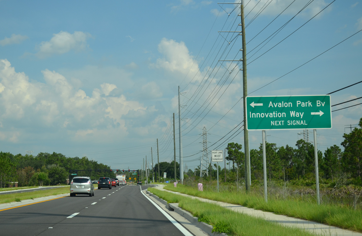
Approaching Avalon Park Drive north to the Live Oak Village section of Avalon Park and Innovation Way south on Alafaya Trail southbound.
07/31/14
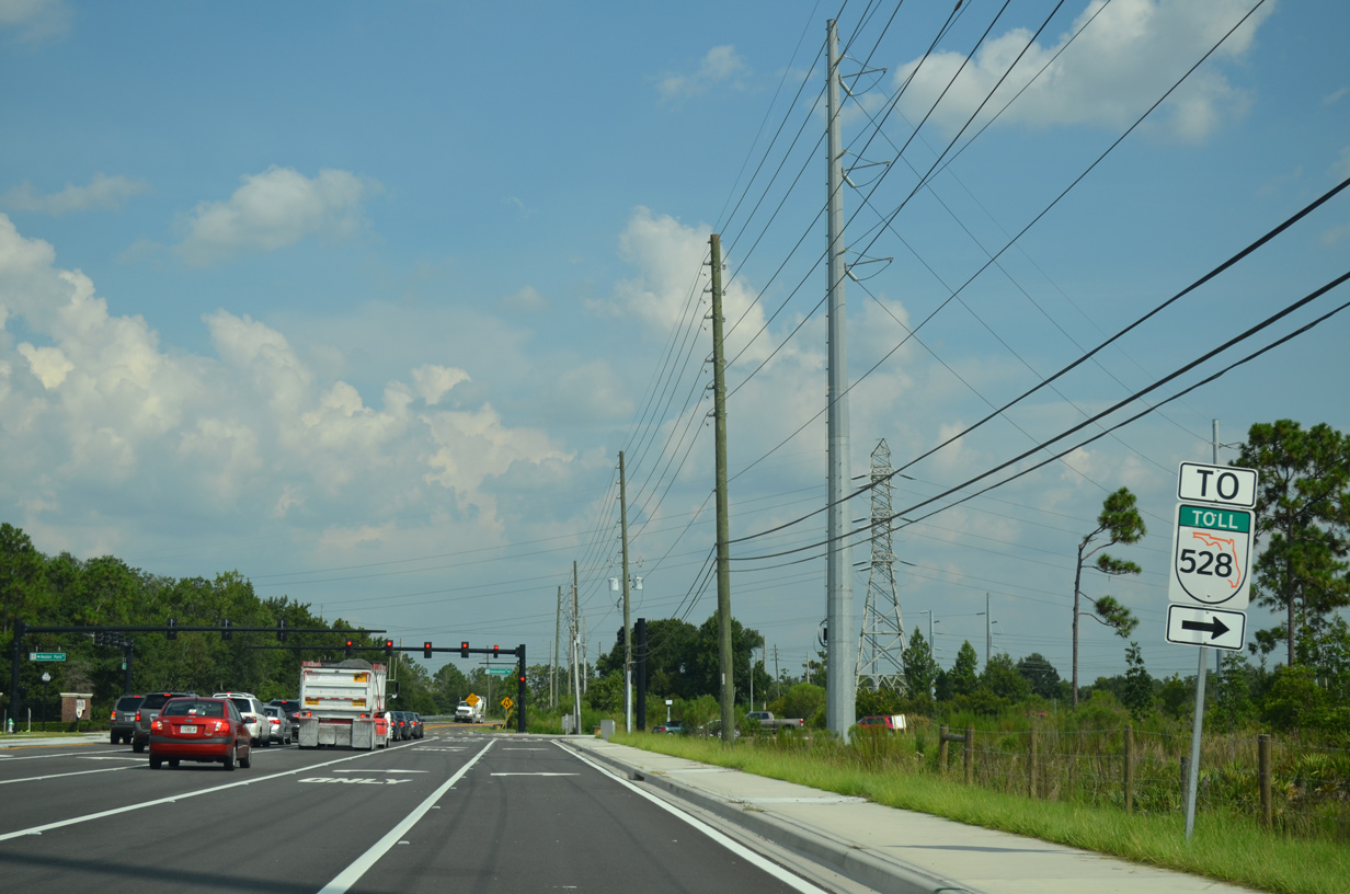
An SR 528 trailblazer directs motorists from Alafaya Trail south onto Innovation Way. Innovation Way connects with the Beachline Expressway at a 2018-completed interchange in 4.8 miles.
07/31/14
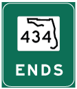
Photo Credits:
- Alex Nitzman: 02/08/08
- ABRoads: 07/31/14, 03/06/22
Connect with:
Page Updated Tuesday March 08, 2022.