The Atlantic Ocean at Canova Beach Park by the east end of SR 518 (Eau Gallie Boulevard) at SR A1A in Melbourne. 10/01/15
Measuring 8.10 miles in length, State Road 518 connects Interstate 95 in north Melbourne with SR A1A at Indian Harbour Beach and Eau Gallie Beach. SR 508 crosses one of two bridges over the Intracoastal Waterway between Melbourne and the barrier island along the Atlantic Ocean.
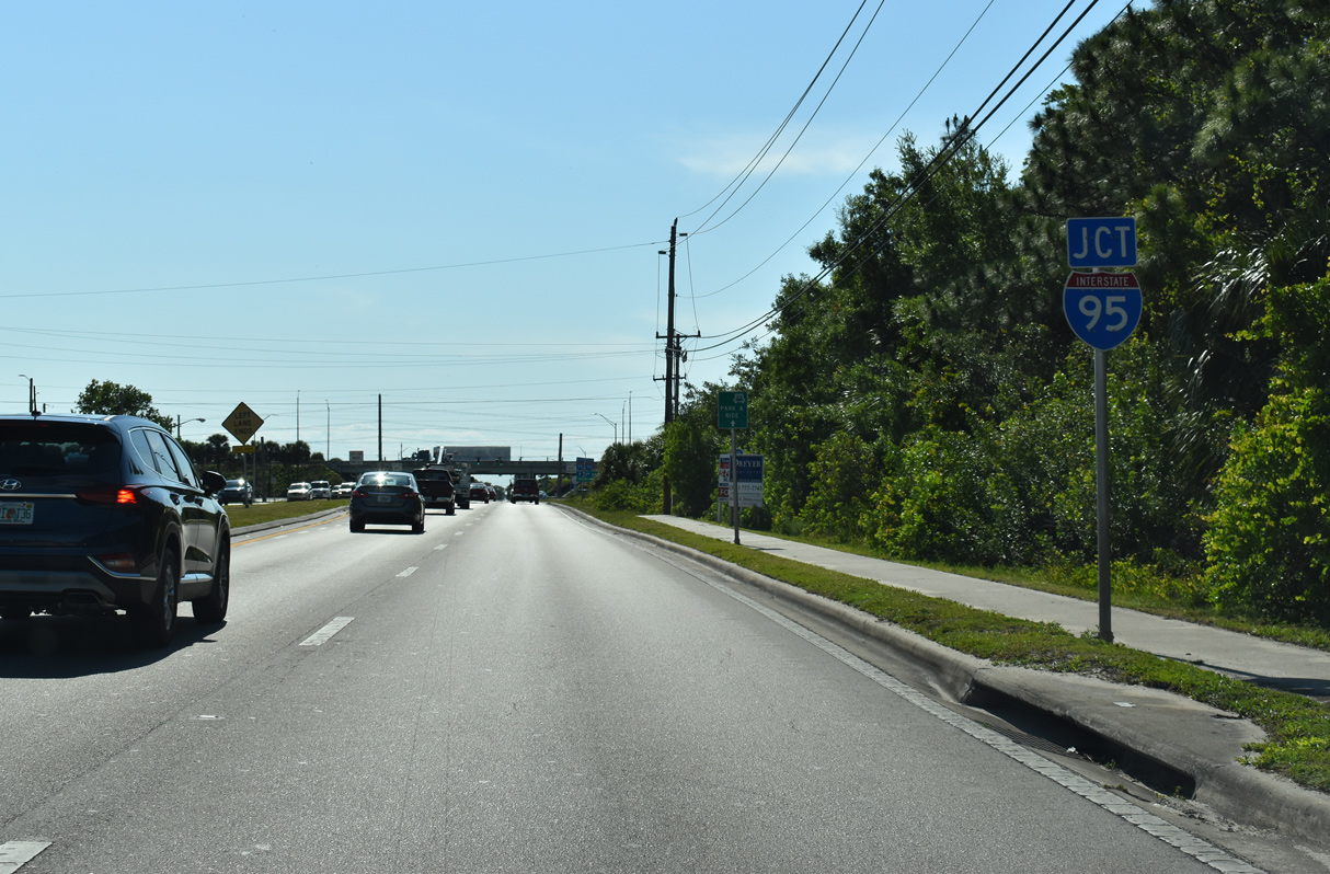
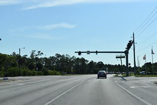
Following Eau Gallie Boulevard, the route stems east from a diamond interchange (Exit 183) with I-95 along a four lane arterial to U.S. 1 (Harbor City Boulevard). SR 518 partitions into a couplet along Montreal Avenue east and Eau Gallie Boulevard west between U.S. 1 and Eau Gallie Causeway spanning the Indian River. SR 518 resumes along Eau Gallie Boulevard east between the Melbourne and Indian Harbour Beach city limits between SR 513 (Patrick Drive) and SR A1A at Canova Beach Park.

East
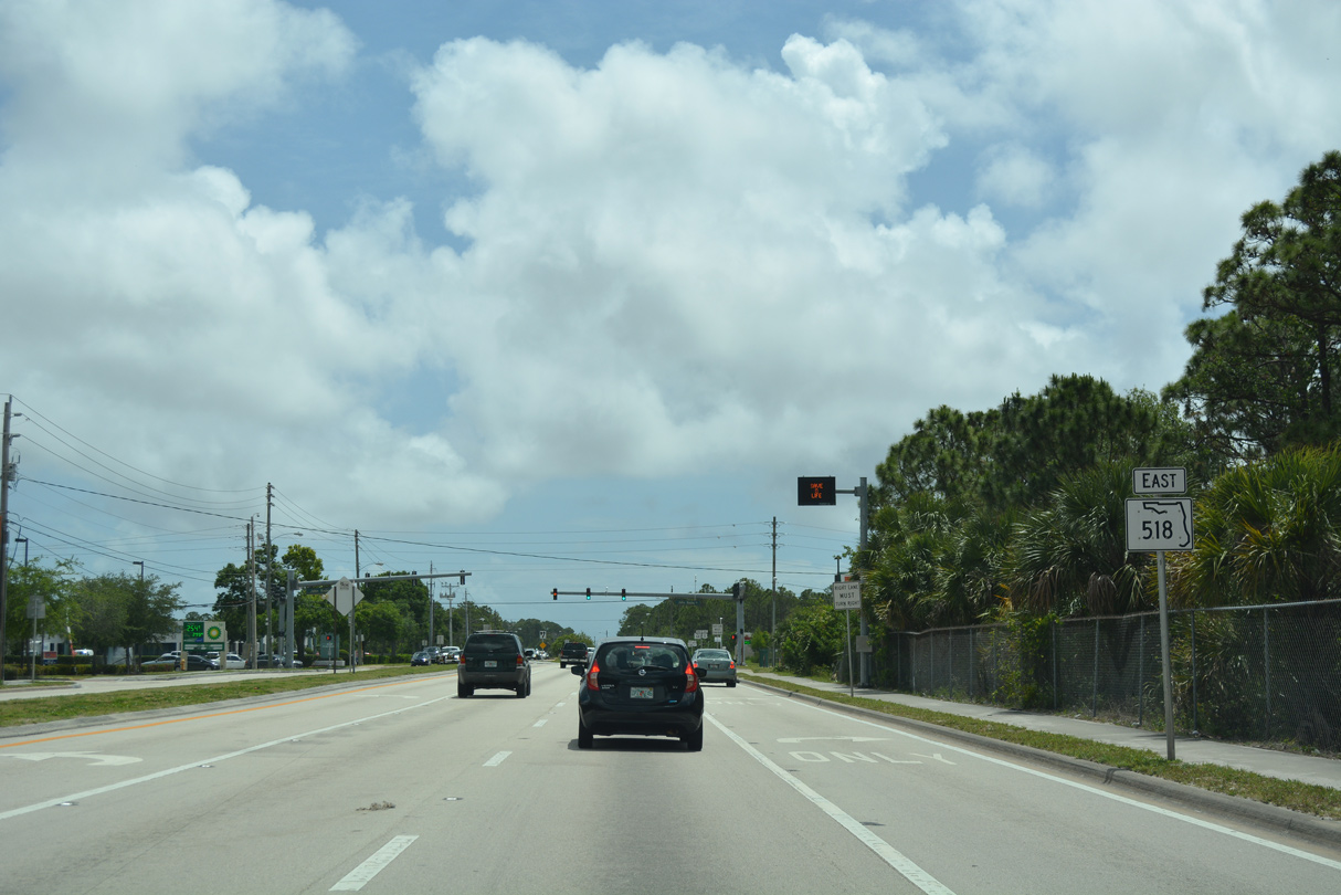
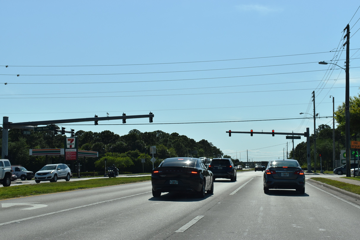
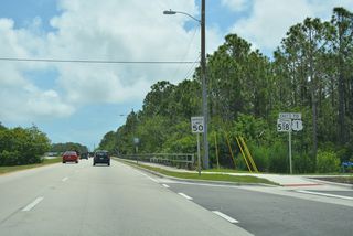
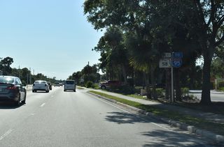
The first confirming marker for SR 518 east stands along Eau Gallie Boulevard between I-95 and John Rodes Boulevard.
05/05/18
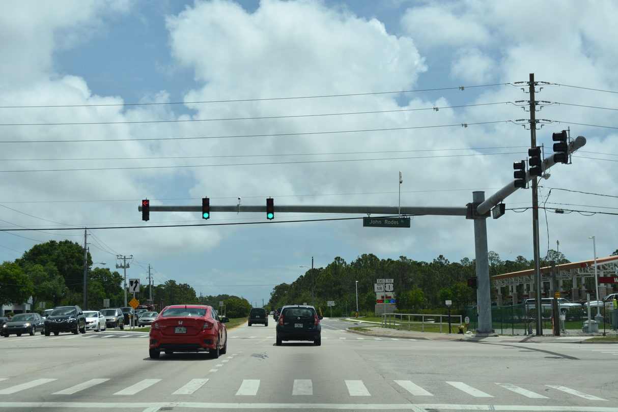
John Rodes Boulevard is unsigned CR 511 south 7.82 miles to U.S. 192 (New Haven Avenue) at West Melbourne.
05/05/18
05/05/18
05/05/18
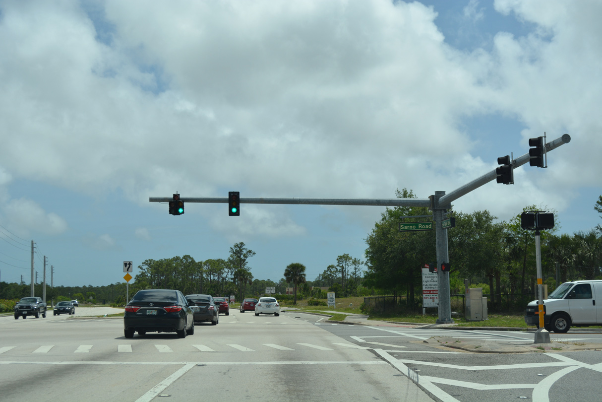
Sarno Road branches east from SR 518 (Eau Gallie Boulevard) at Trent House Drive to the Magnolia Lakes neighborhood. Sarno Road 1.33 miles east to CR 509 (Wickham Road) is unsigned SR 5054.
05/05/18

SR 518 (Eau Gallie Boulevard) shifts a half mile northward from Sarno Road.
05/05/18
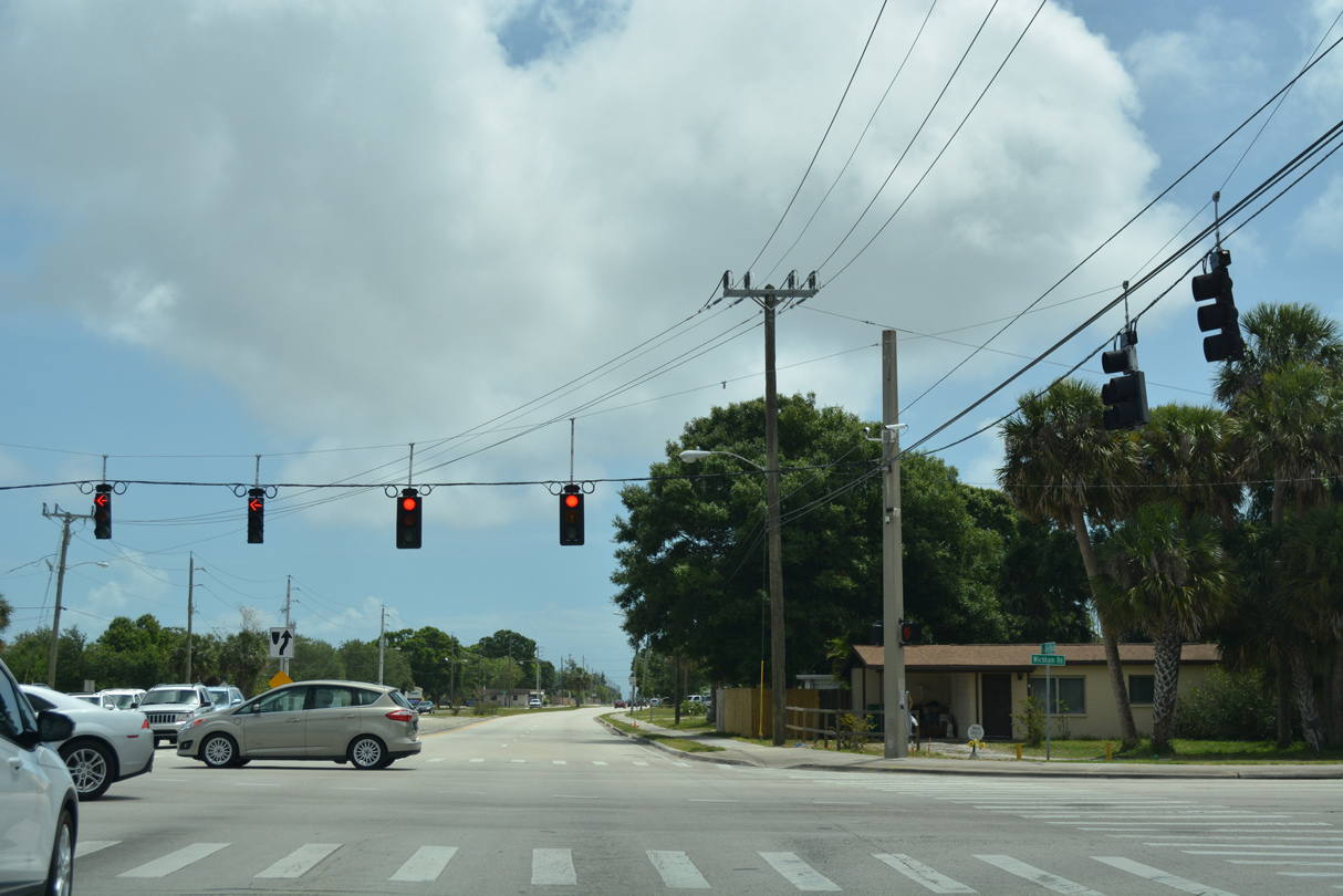
18.79 miles in length, Wickham Road is CR 509 north to Lake Andrew Drive in Viera and south to Malabar Road in Palm Bay.
05/05/18
05/05/18
05/05/18

05/05/18
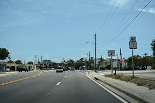
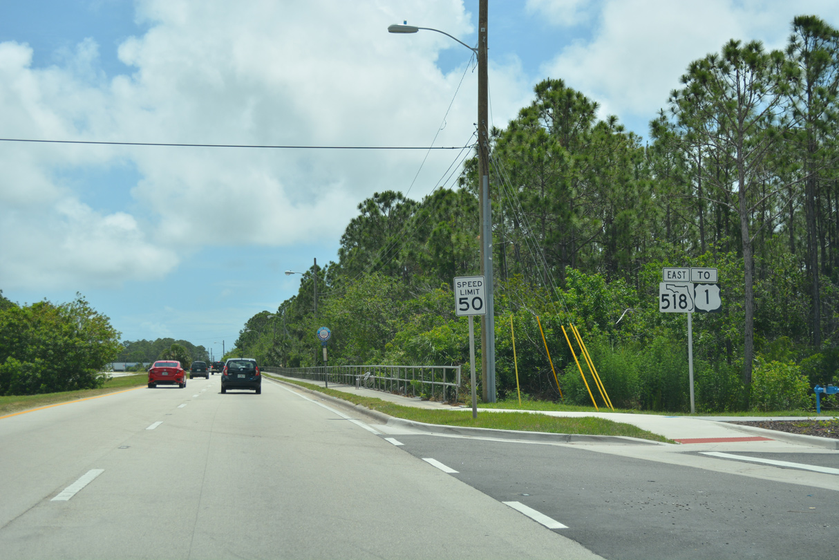
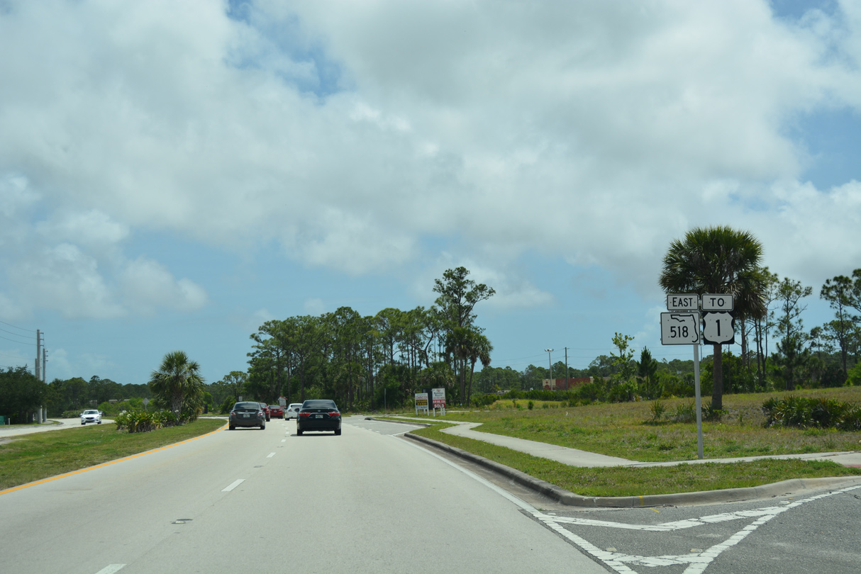
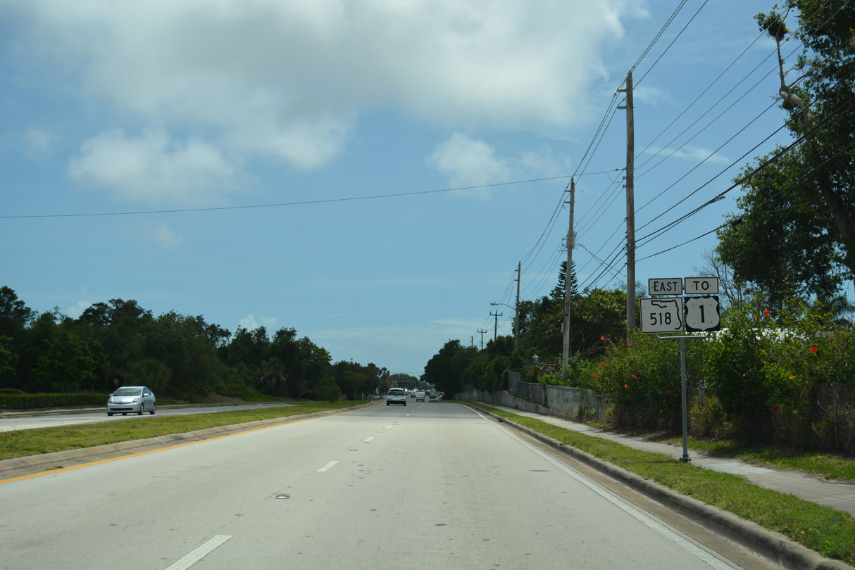
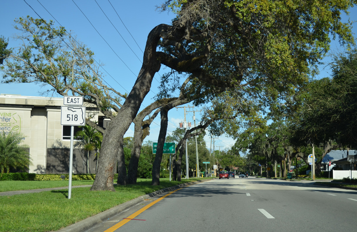
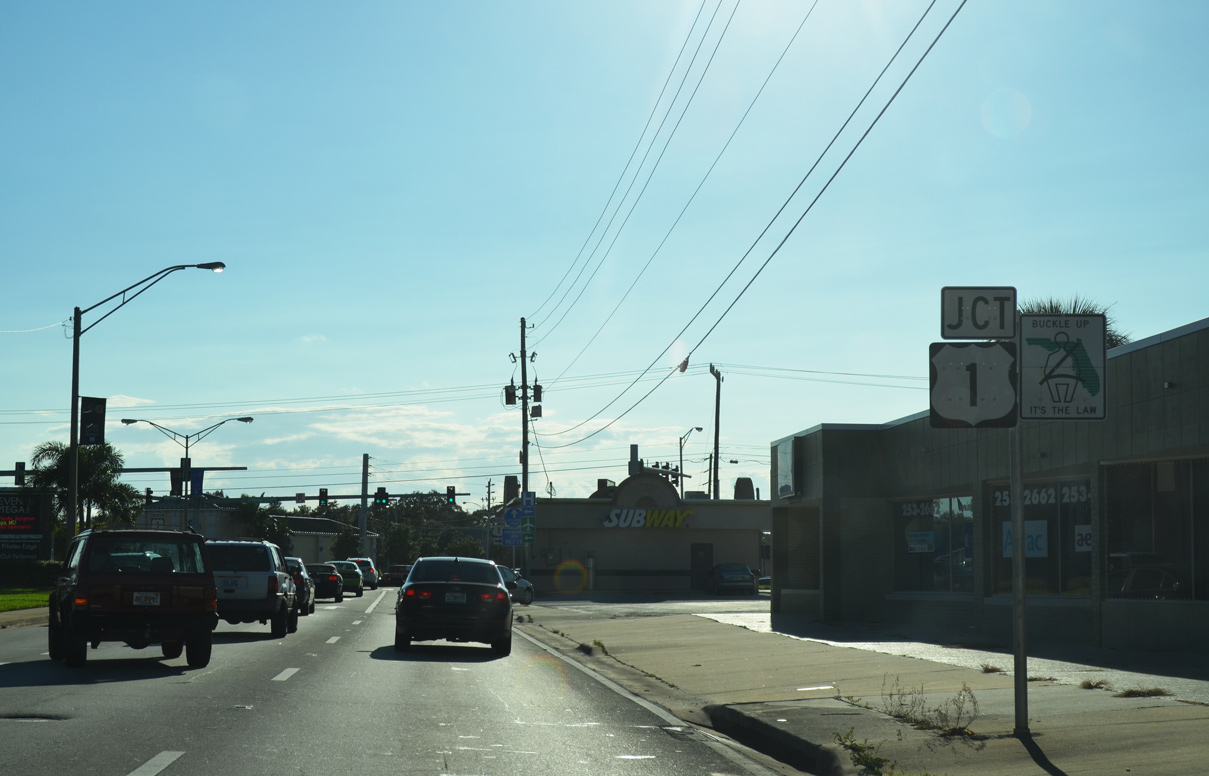
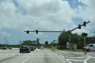
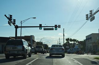
SR 518 (Eau Gallie Boulevard) advances east to U.S. 1 (Harbor City Boulevard) within the Eau Gallie section of Melbourne.
05/05/18
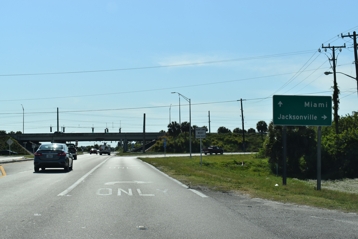
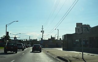
U.S. 1 follows the Indian River south to Downtown Melbourne and north into the town of Palm Shores.
05/05/18
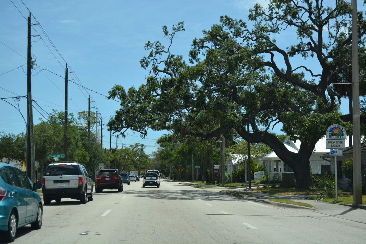
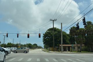
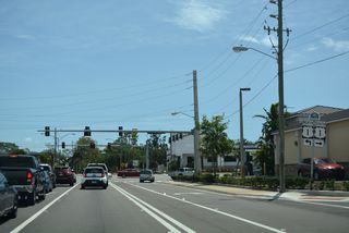
SR 518 continues east from U.S. 1 along Montreal Avenue. The state road westbound follows Eau Gallie Boulevard to the north.
05/05/18
10/01/15
10/01/15

05/05/18

05/05/18

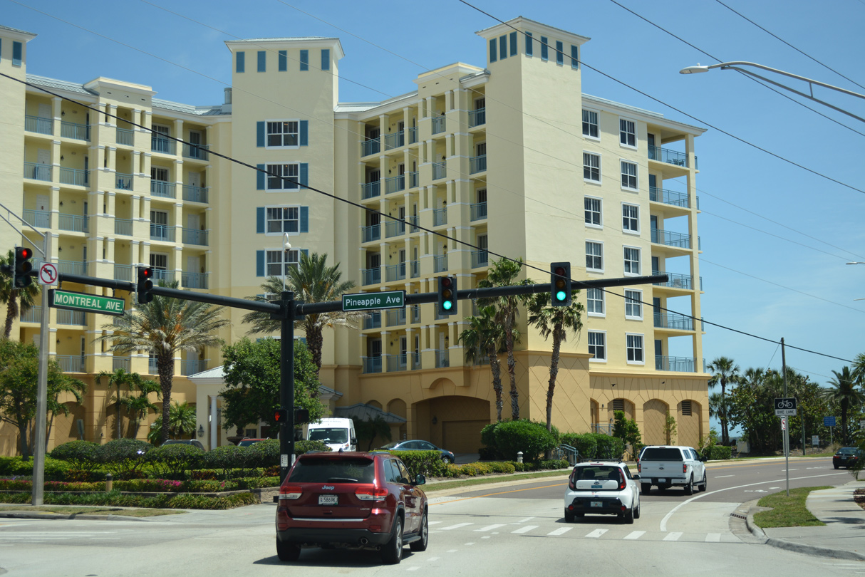
The separate roadways for SR 518 converge east of Pineapple Avenue at Triangle Park.
05/05/18

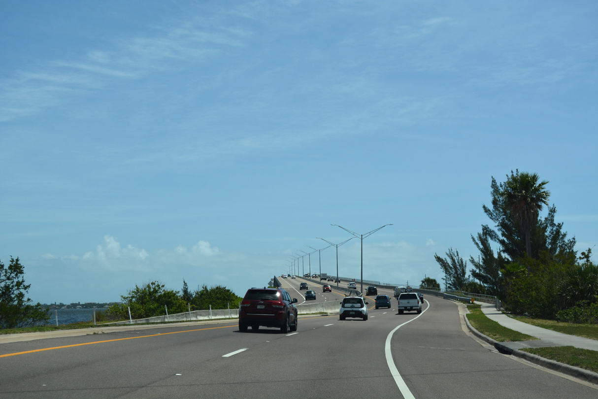
SR 518 continues east from Montreal Avenue onto Eau Gallie Causeway.
05/05/18

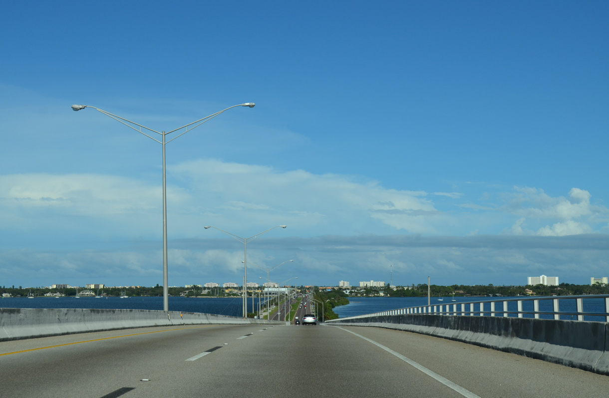
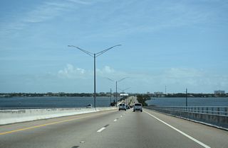
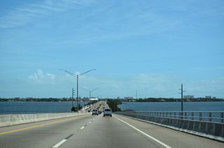
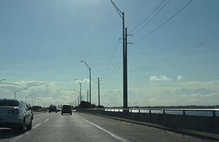
The high rise span crossing the Intracoastal Waterway along SR 518 was built in 1988.
10/01/15
05/05/18
05/05/18
05/05/18
05/05/18
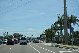
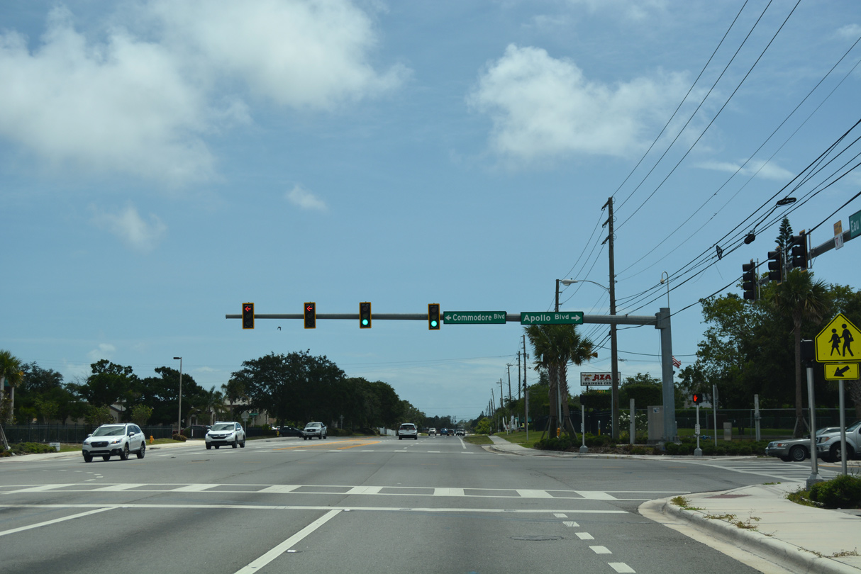
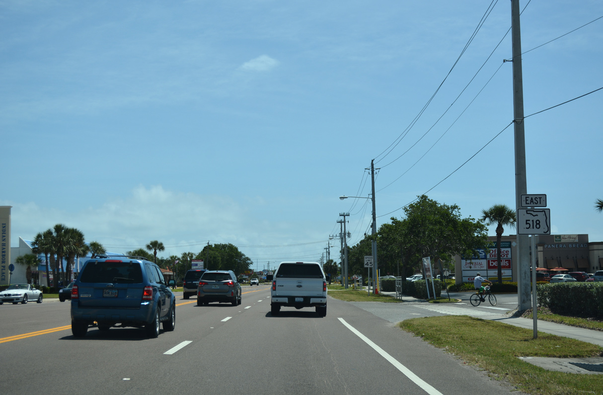
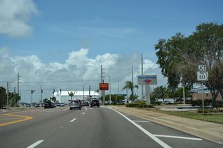
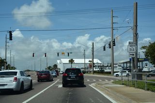
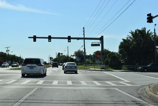
SR 518 (Eau Gallie Causeway) meets the south end of SR 513 (Patrick Drive) at N Riverside Drive (CR 3), Causeway Shopping Center and the Indian Harbour Place retail complex.
05/05/18
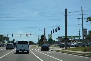
SR 513 (Patrick Drive) heads 5.25 miles north from SR 518 through Indian Harbor Beach, Satellite Beach and South Patrick Shores to SR 404 (Pineda Causeway) at Patrick Space Force base.
05/05/18

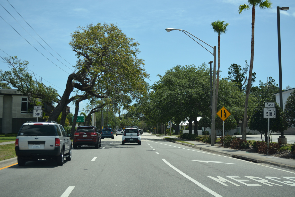
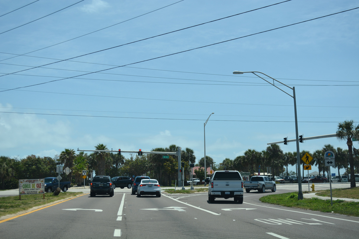
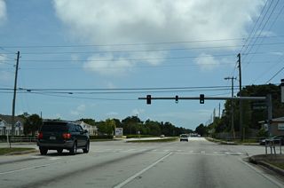
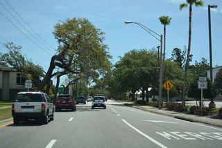
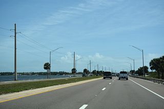
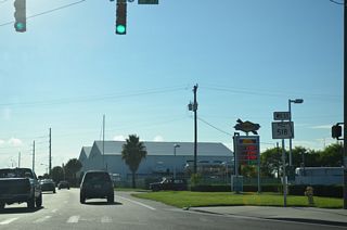
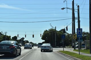
SR 518 advances east between Indian Harbour Beach and northeast Melbourne along Eau Gallie Boulevard.
05/05/18

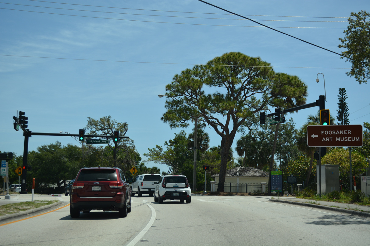
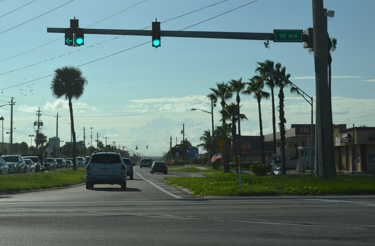
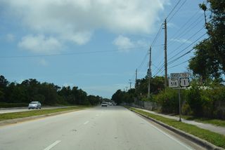
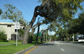
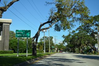
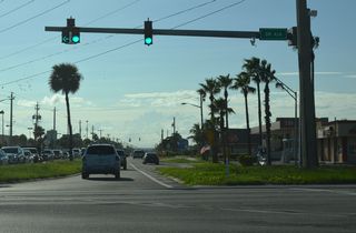
No shields are posted for SR A1A at the east end of SR 518 by Ocean Springs shopping center. Eau Gallie Boulevard ties into SR A1A across from Canova Beach Park.
05/05/18
West
SR 518 (Eau Gallie Boulevard) commences west from SR A1A at Canova Beach Park.
10/01/15
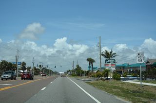
SR 518 passes by Ocean Springs shopping center west from SR A1A and the first confirming marker.
05/05/18
05/05/18
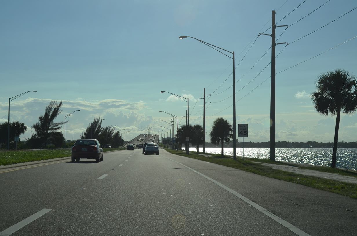
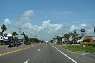
SR 518 (Eau Gallie Boulevard) runs west along the Indian Harbour Beach city line to SR 513 (Patrick Drive) north and N Riverside Drive south.
05/05/18
Riverside Drive (CR 3) follow the eastern banks of the Indian River south 3.76 miles to U.S. 192 in Indialantic. SR 513 (Patrick Drive) extends 5.25 miles north to SR 404 (Pineda Causeway) at Patrick Space Force Base.
05/05/18
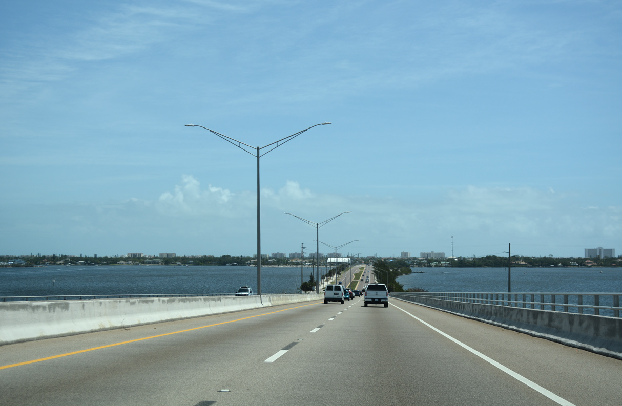
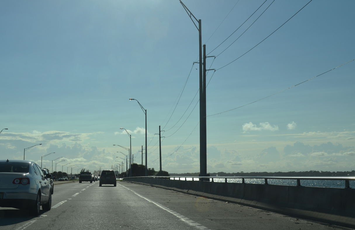
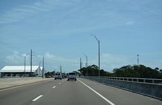
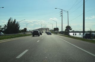
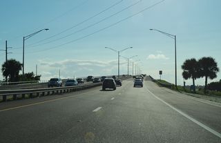
Bending southward, SR 518 continues west from SR 513 (Patrick Drive) onto Eau Gallie Causeway.
10/05/15
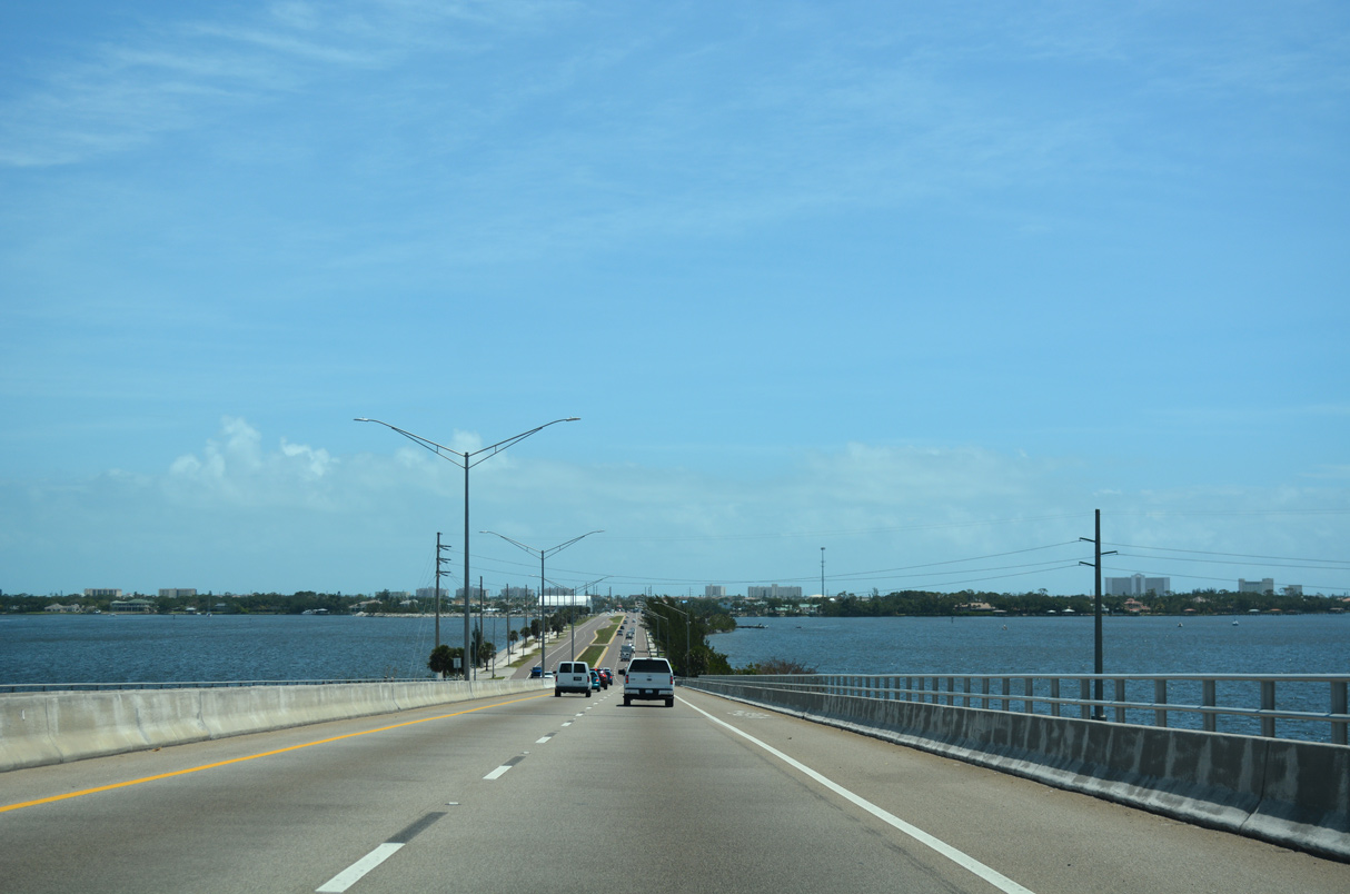
SR 518 spans an inlet along the east side of the Indian River.
10/05/15

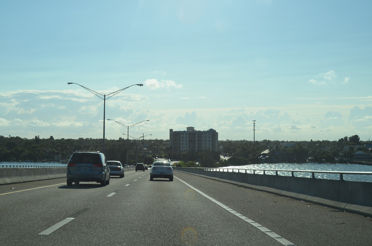
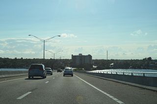
A man-made island precedes the high rise bridge across the Intracoastal Waterway.
10/05/15
10/05/15
10/05/15
10/05/15
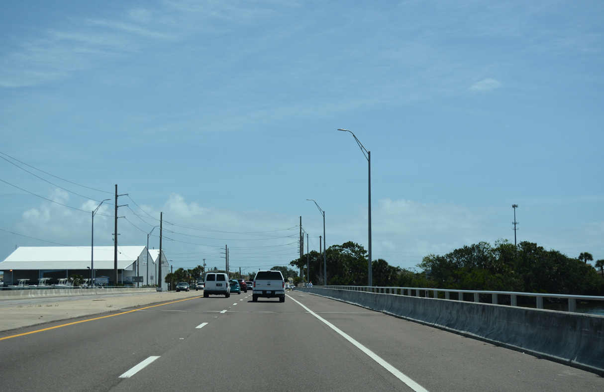
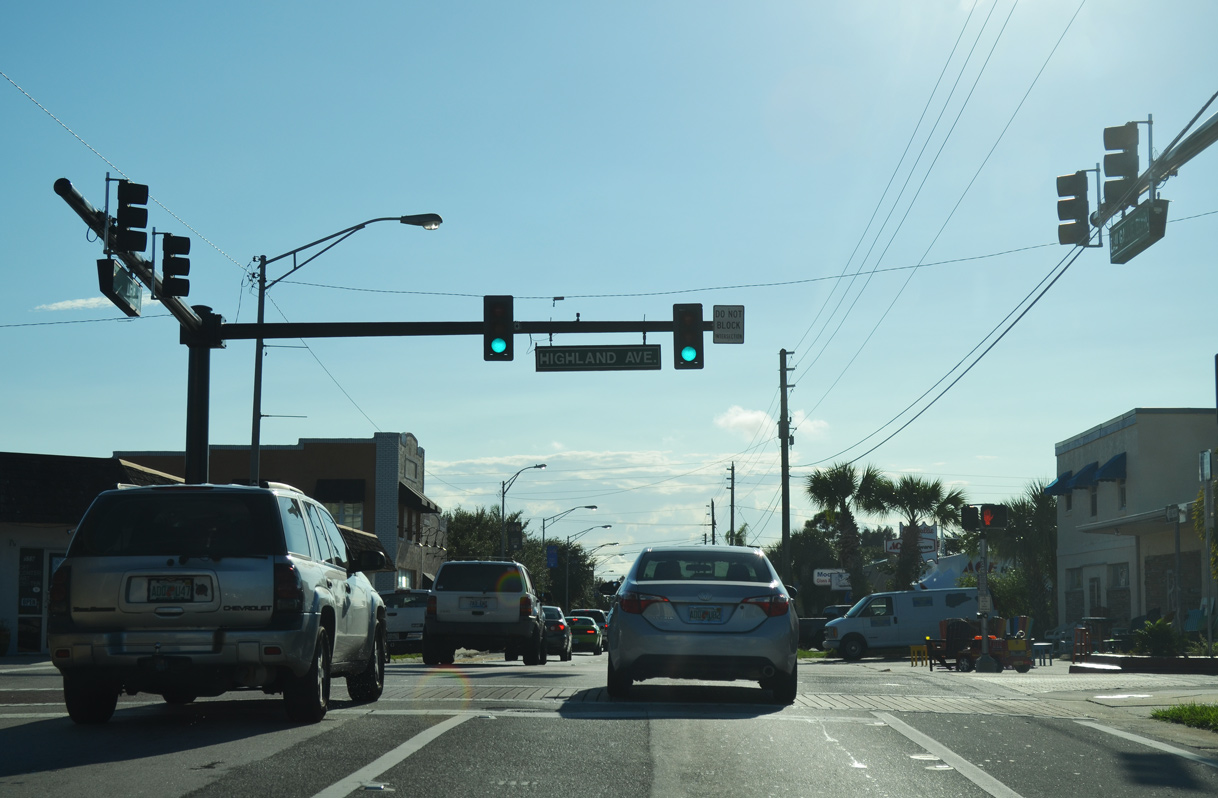
SR 518 partitions into a couplet along Eau Gallie Boulevard west and Montreal Avenue east ahead of Pineapple Avenue in the Eau Gallie section of Melbourne.
10/05/15
10/05/15
10/05/15
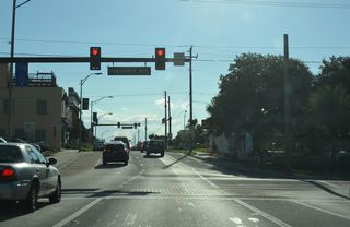
The split directions of SR 518 come together at U.S. 1 (Harbor City Boulevard).
10/05/15

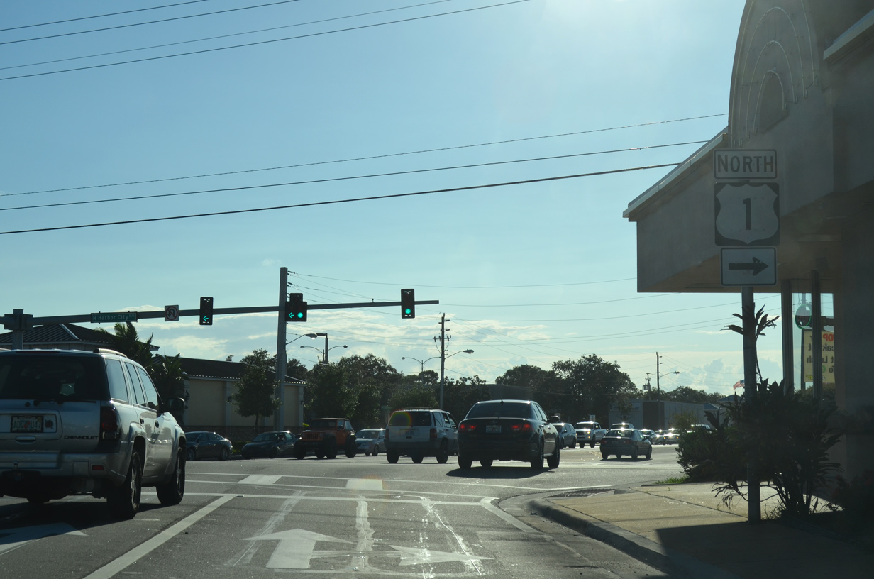
U.S. 1 travels north from Melbourne to Palm Shores and Rockledge and south through Melbourne to Palm Bay.
10/05/15
04/24/19

04/24/19
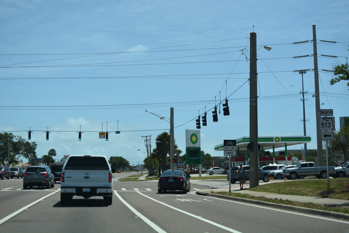
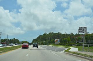
SR 518 (Eau Gallie Boulevard) west at CR 509 (Wickham Road) north to Suntree and south to Melbourne Village.
04/24/19
04/24/19
04/24/19
04/24/19

04/24/19
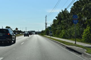
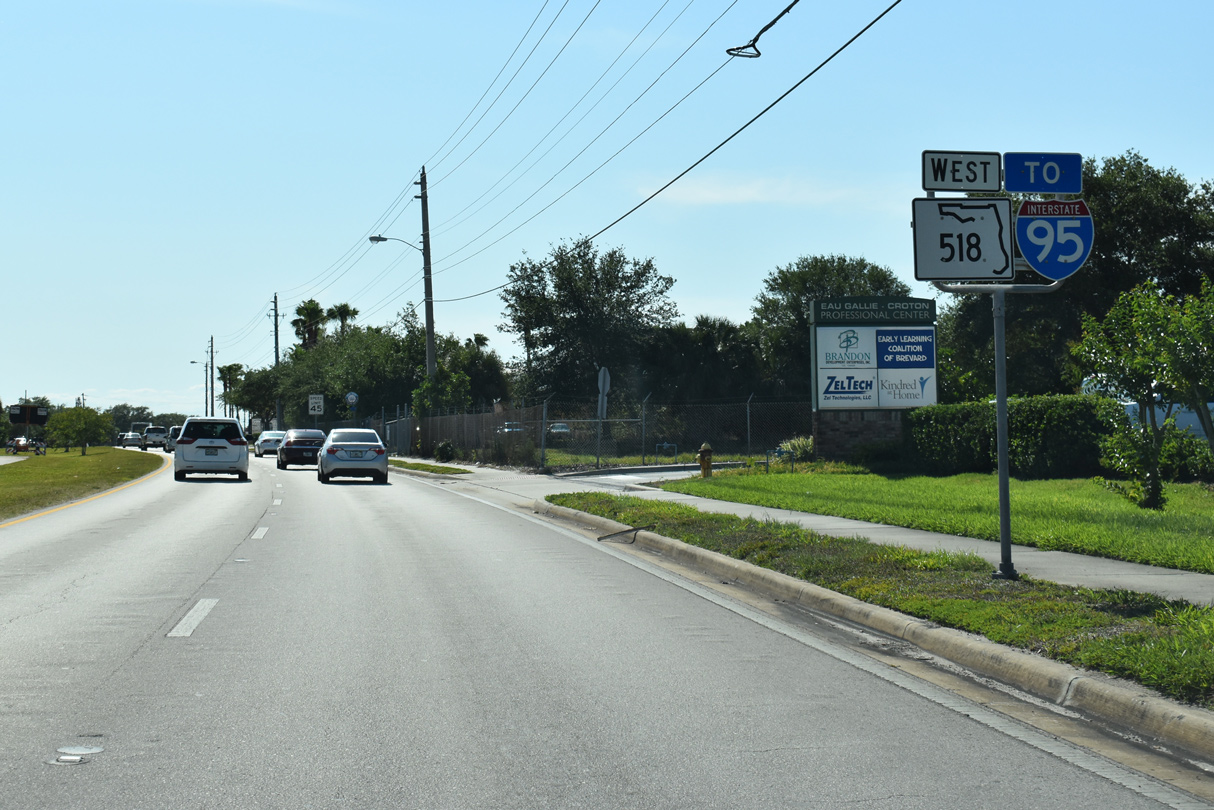
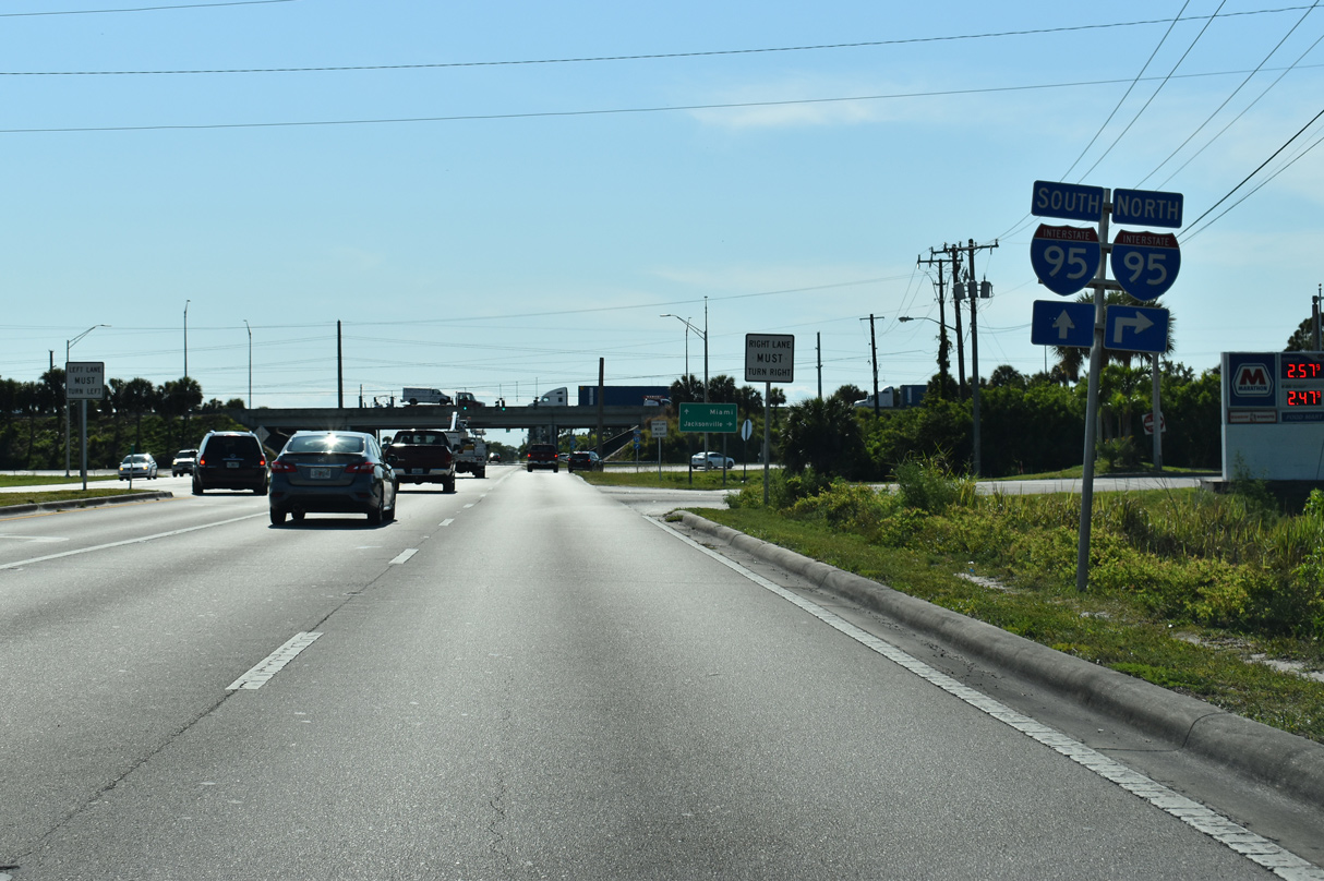
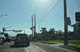
SR 518 (Eau Gallie Boulevard) west concludes at a diamond interchange (Exit 183) with Interstate 95.
04/24/19

04/24/19

04/24/19
Page Updated Monday October 10, 2022.