
State Road 538 - Poinciana Parkway - East
Ronald Reagan Parkway replaced Kinney Harmon Road east as a toll free arterial to Sereno Drive and Poinciana Parkway (SR 538). Provisions are in place for eventual widening.
09/20/17
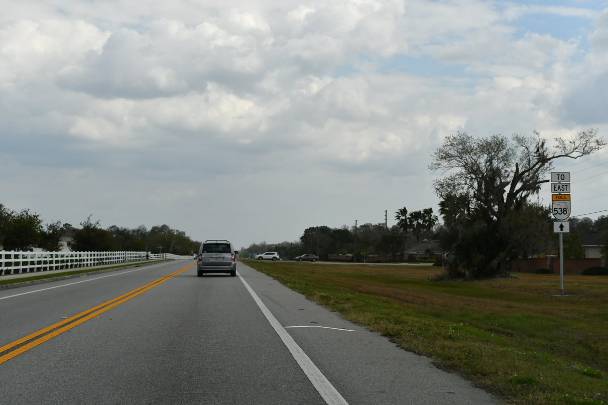
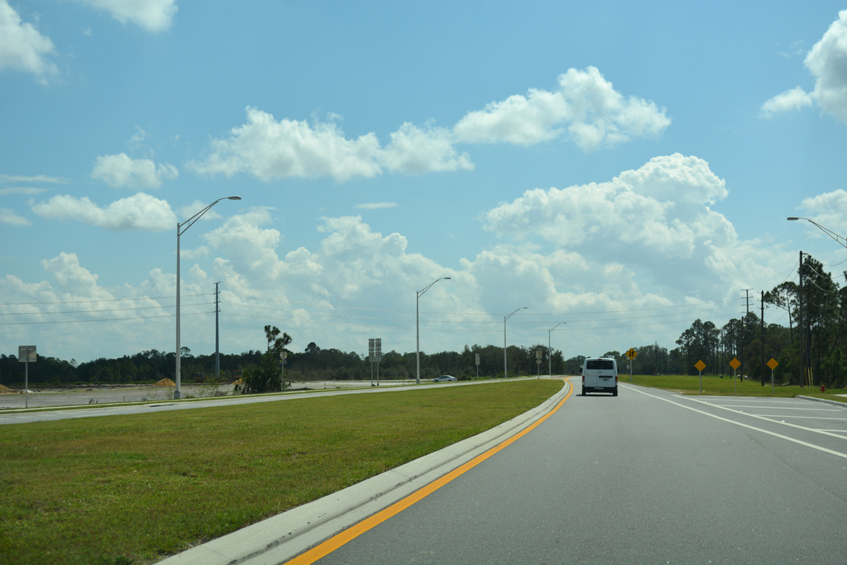
Representing the last access point before Poinciana Parkway (SR 538), Sereno Drive intersects Ronald Reagan Parkway just west of the Osceola County line at the Sereno subdivision.
02/12/24
 East
East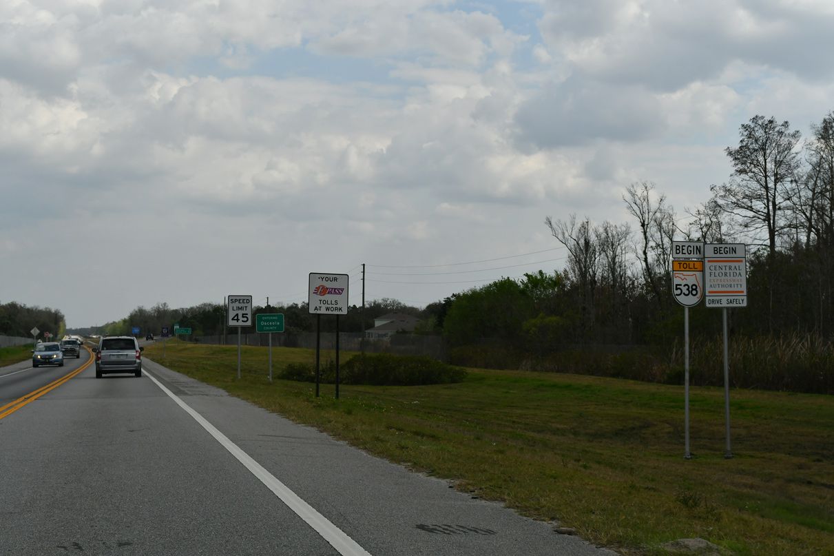
SR 538 shields replaced all previous Osceola County Expressway Authority (OCX) installed signs by January 2020.
02/12/24
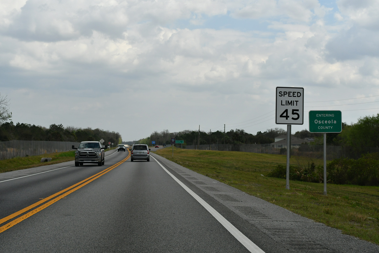
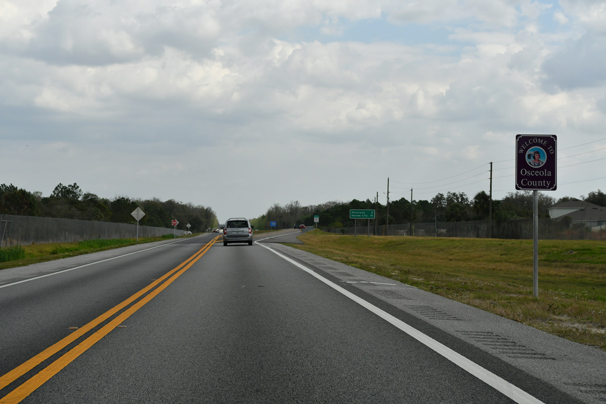
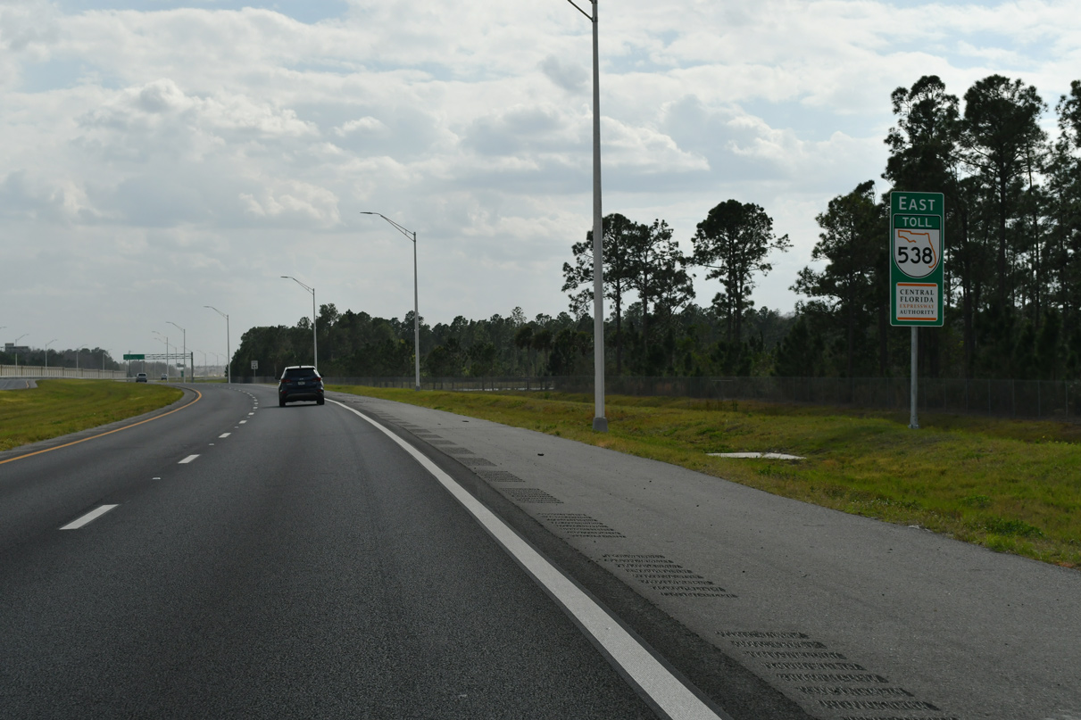
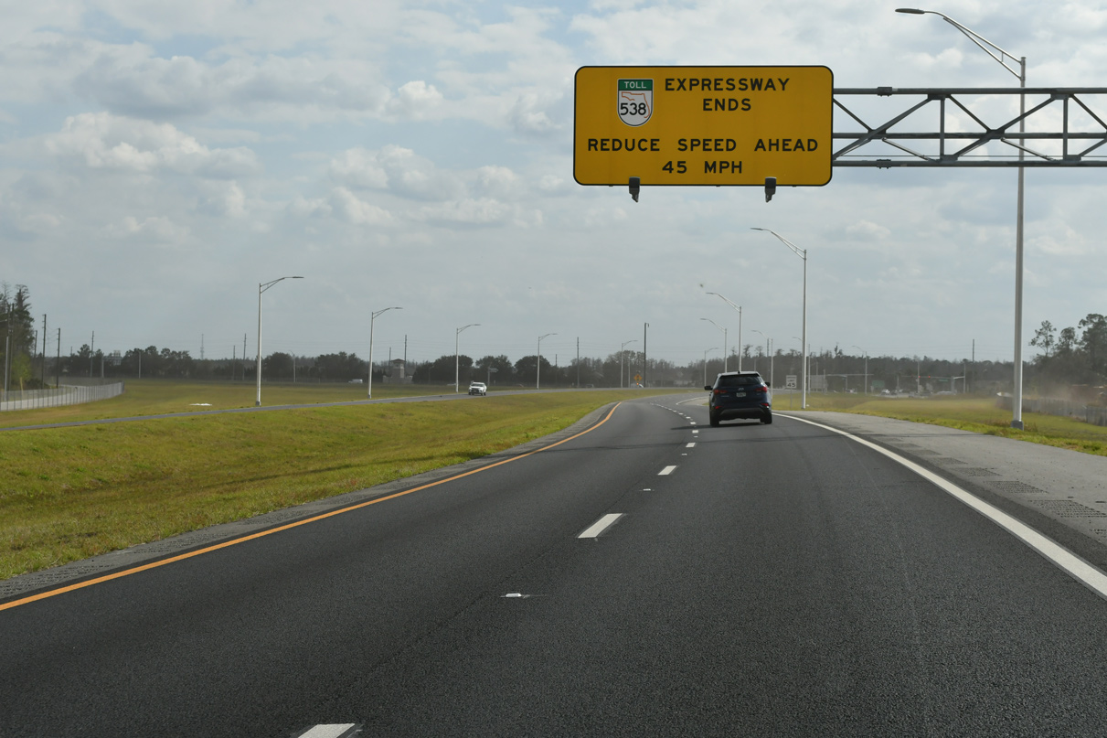
Ronald Reagan Parkway transitions into SR 538 (Poinciana Parkway) at the Osceola county line. The initial speed limit along the toll road south was reduced from 55 MPH in 2020 to 45 MPH in 2023.
02/12/24
Poinciana Parkway expands to four overall lanes south just into Osceola County. Construction widening the toll road ran from February 2021 to December 2023.
02/12/24
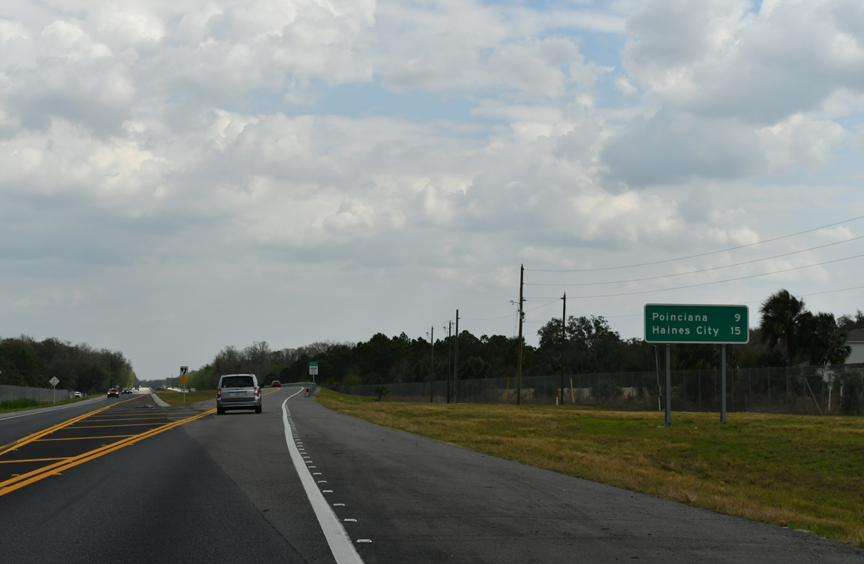
The center of unincorporated Poinciana lies nine miles to the southeast of the county line along CR 580 (Cypress Parkway). CR 580 leads 10.01 miles west from Marigold Avenue in Poinciana to U.S. 17/92 in Haines City.
02/12/24
State Road 538 (Poinciana Parkway) elevates along a 6,200 foot long viaduct across a portion of the Reedy Creek mitigation bank. Reedy Creek runs further to the east on its course toward Lake Russell southeast of Poinciana.
02/12/24
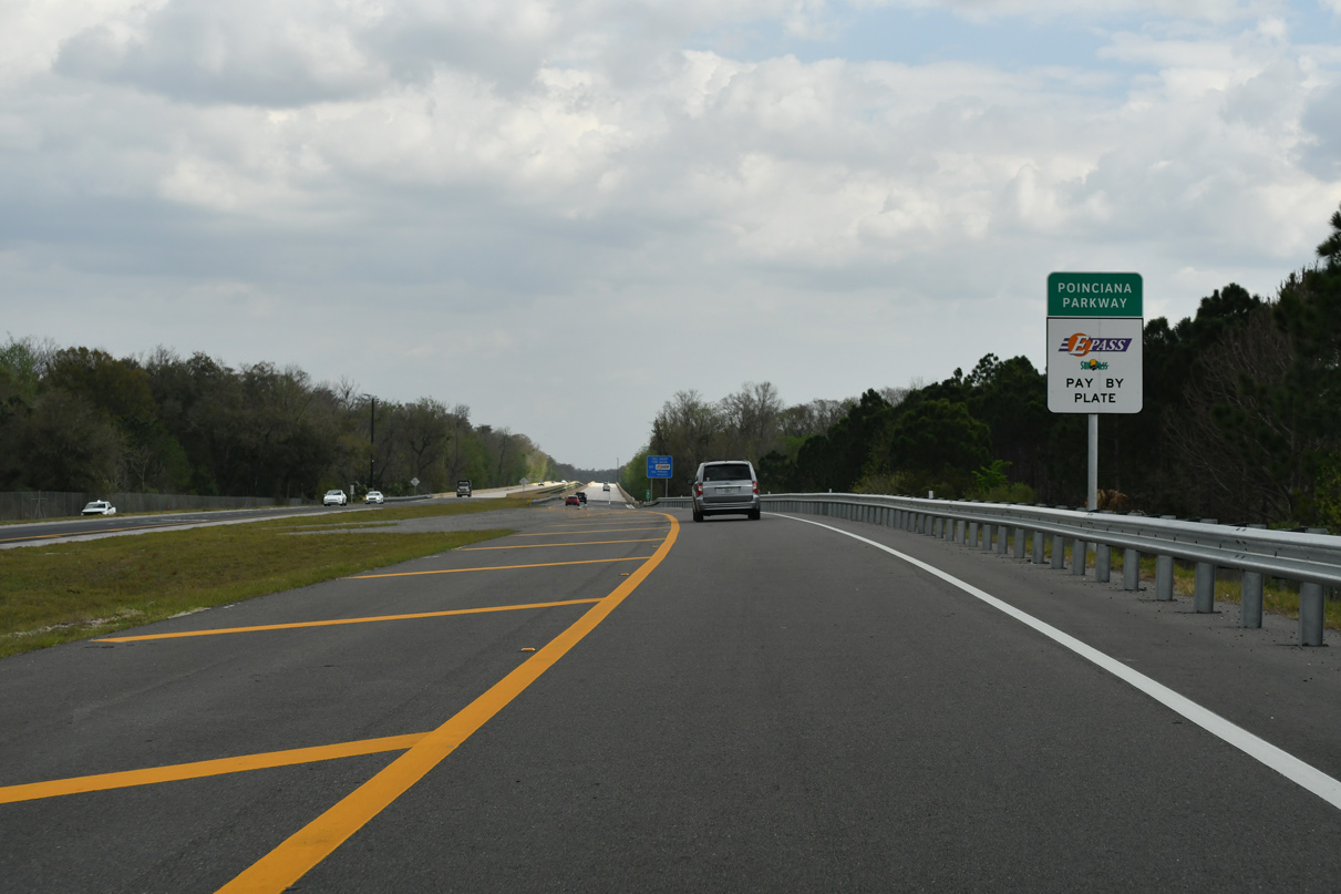
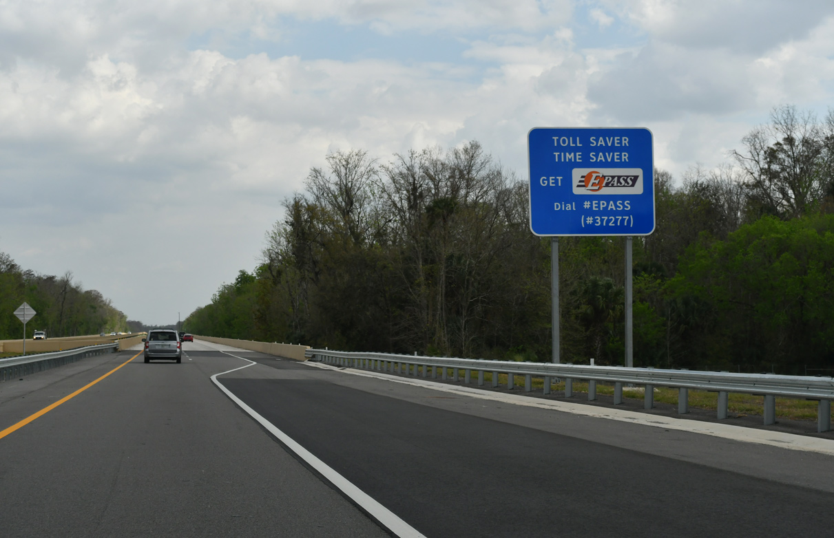
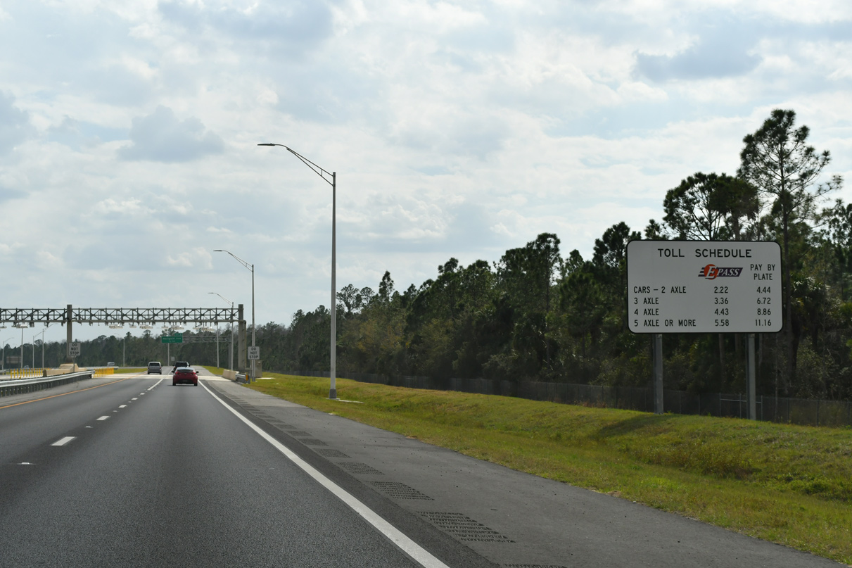
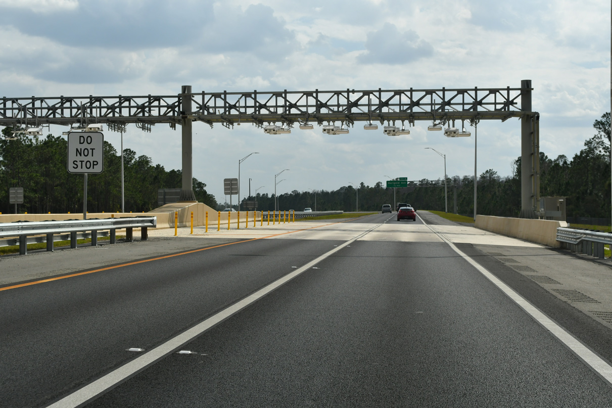
Tolls are collected along Poinciana Parkway electronically via transponder of toll by plate.
02/12/24
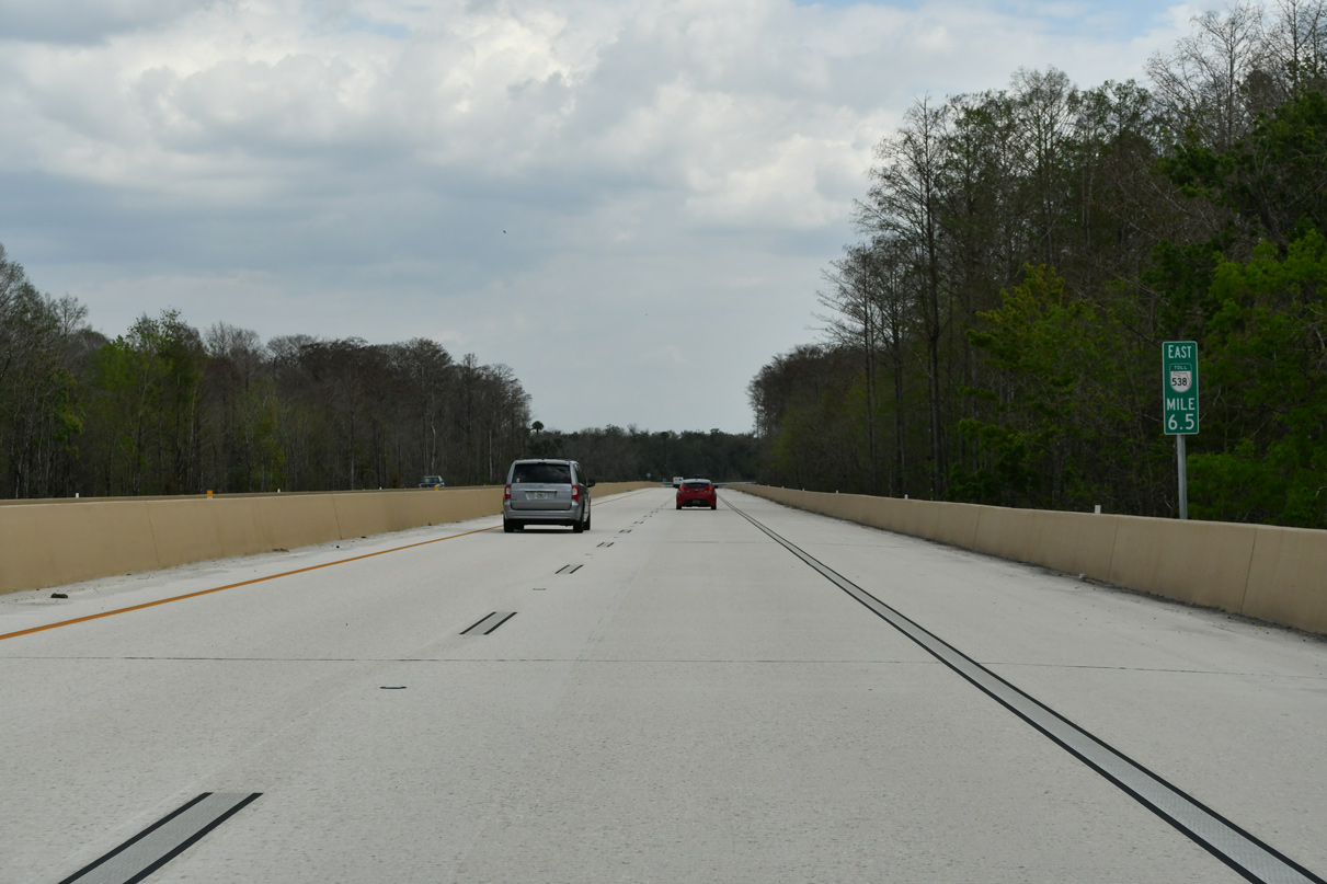
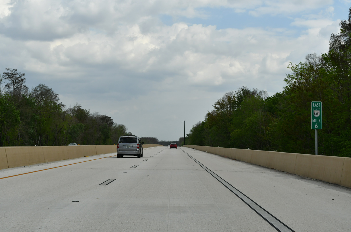
Poinciana Parkway curves south from the Reedy Creek mitigation bank beyond mile marker 6.5.
02/12/24
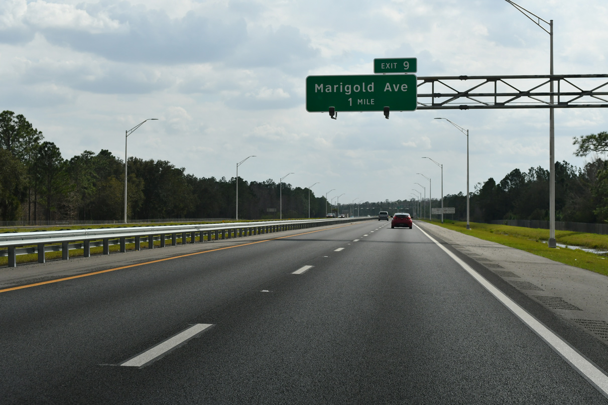
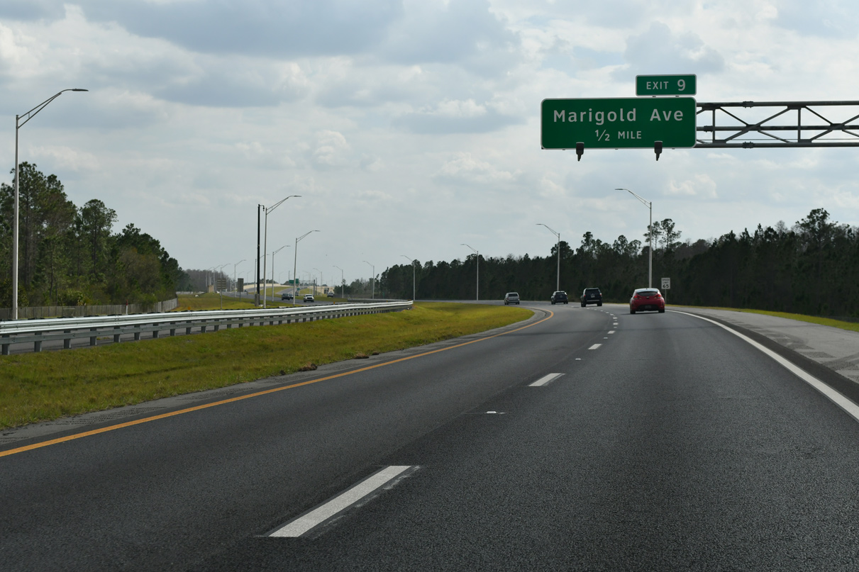
The first of two exits along SR 538 (Poinciana Parkway) south is with Marigold Avenue east.
02/12/24
The Marigold Toll Gantry is the first of two all electronic toll (AET) collection points along SR 538 south.
02/12/24
Marigold Avenue weaves through residential areas of Poinciana 13.7 miles southward from Exit 9 to CR 542 (Lake Hatchineha Road).
02/12/24

The diamond interchange (Exit 9) with Marigold Avenue lies a half mile south of the toll collection point. Poinciana Parkway ended at Marigold Avenue until November 18, 2016.
02/12/24
Confirming marker posted south of the Marigold Avenue entrance ramp.
02/12/24
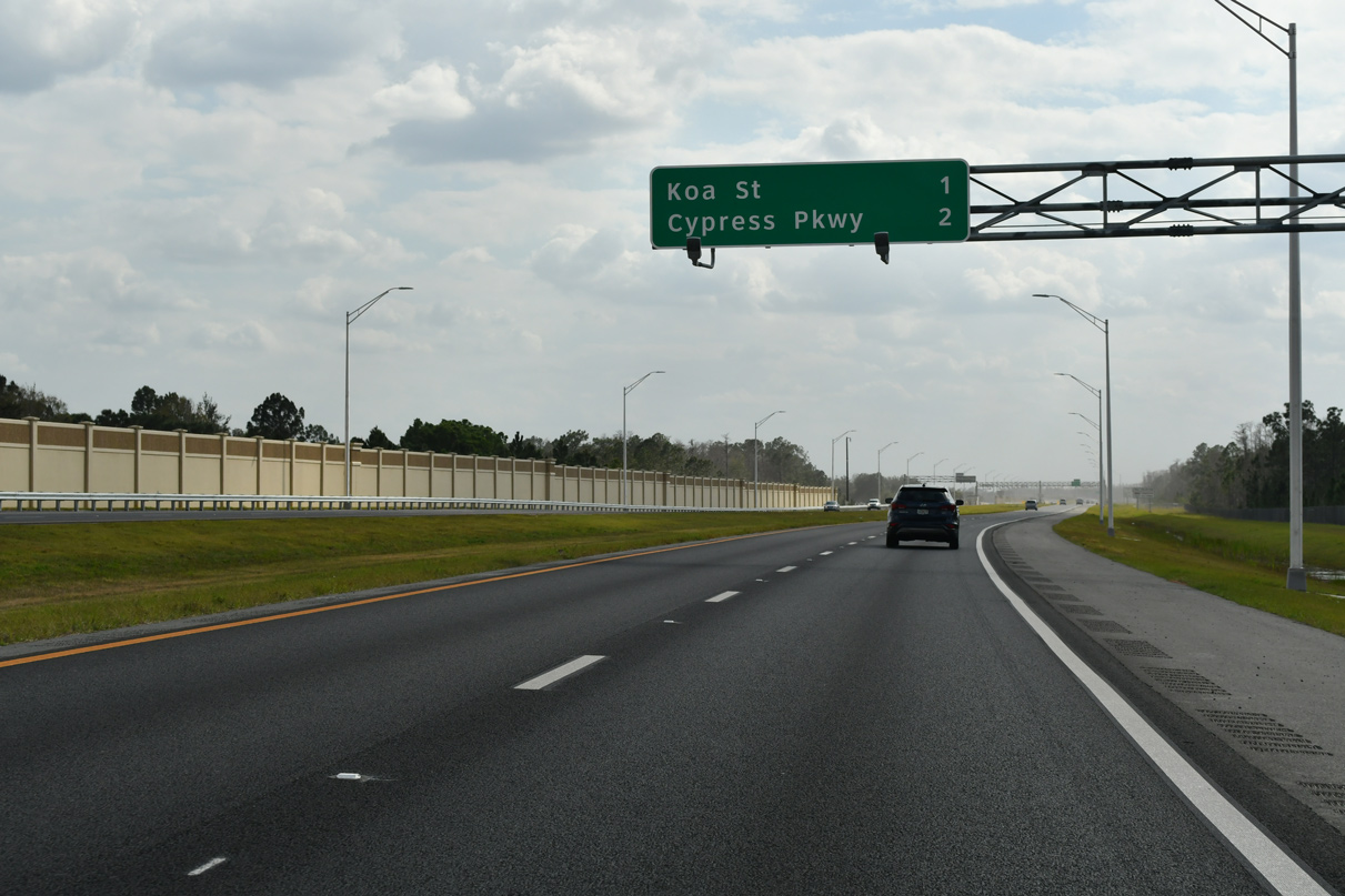
Several subdivisions within Poinciana abut the east side of SR 538 (Poinciana Parkway) ahead of the Exit 11 to Koa Street.
02/12/24

The KOA Toll Gantry represents the second toll collection point along SR 538 southbound.
02/12/24
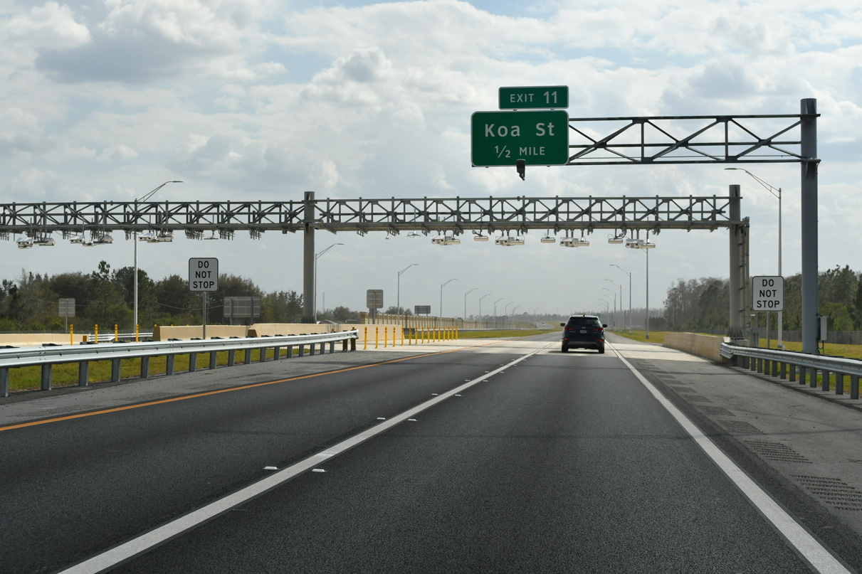
Koa Street stems east from Poinciana Parkway through residential areas 3.3 miles to San Remo Road by Reedy Creek.
02/12/24
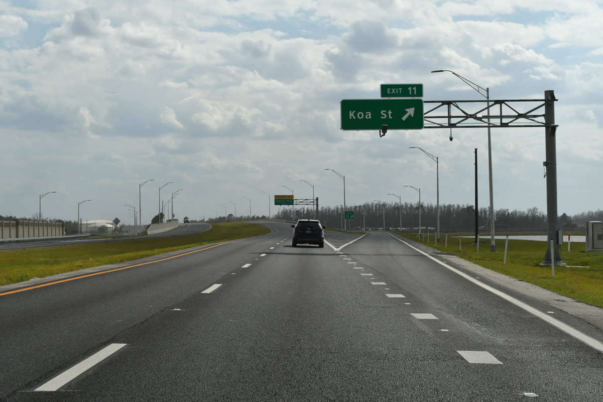
A half diamond interchange joins Poinciana Parkway with Koa Street east at Exit 11. Provisions were made to complete the exchange with ramps to the south.
02/12/24
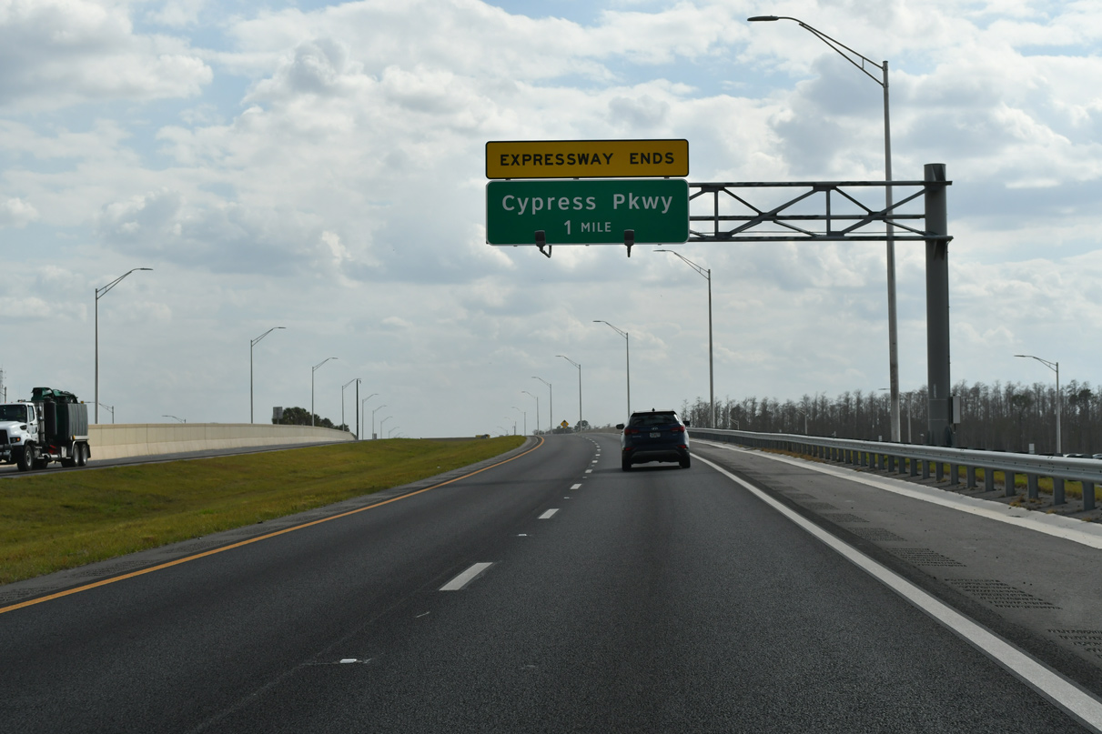
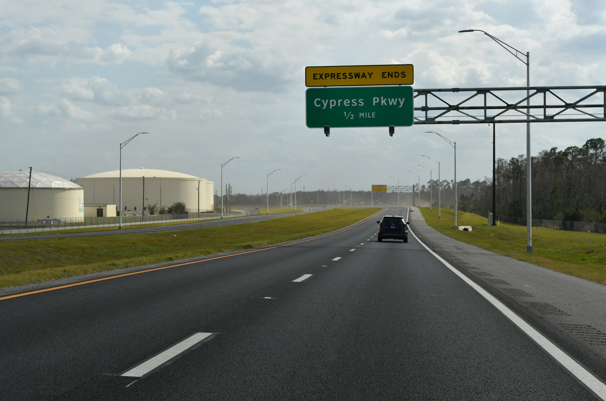
Poinciana Parkway concludes at Cypress Parkway (County Road 580) three quarters of a mile south of the Koa Street underpass.
02/12/24
The eastern branch of CR 580 straddles the Osceola County line east to Marigold Avenue. Heading southwest across wetland areas and Snell Creek, CR 580 shifts onto Marion Creek Road to Haines City.
02/12/24
The signalized end of Poinciana Parkway at Cypress Parkway was relocated west across from Solivita Boulevard and the Solivita development by 2022.
02/12/24
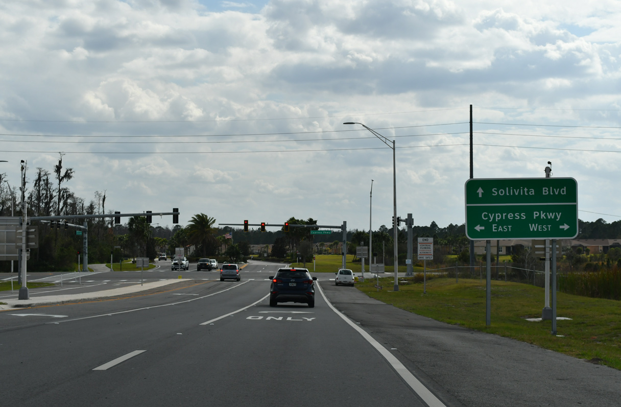
CR 580 (Cypress Parkway) provides one of two routes to Poinciana from the west. Cypress Parkway east becomes Pleasant Hill Road north to Kissimmee.
02/12/24
Photo Credits:
- ABRoads: 09/20/17
- Alex Nitzman, JP Nasiatka: 02/12/24
Connect with:
Page Updated Monday February 19, 2024.