
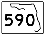
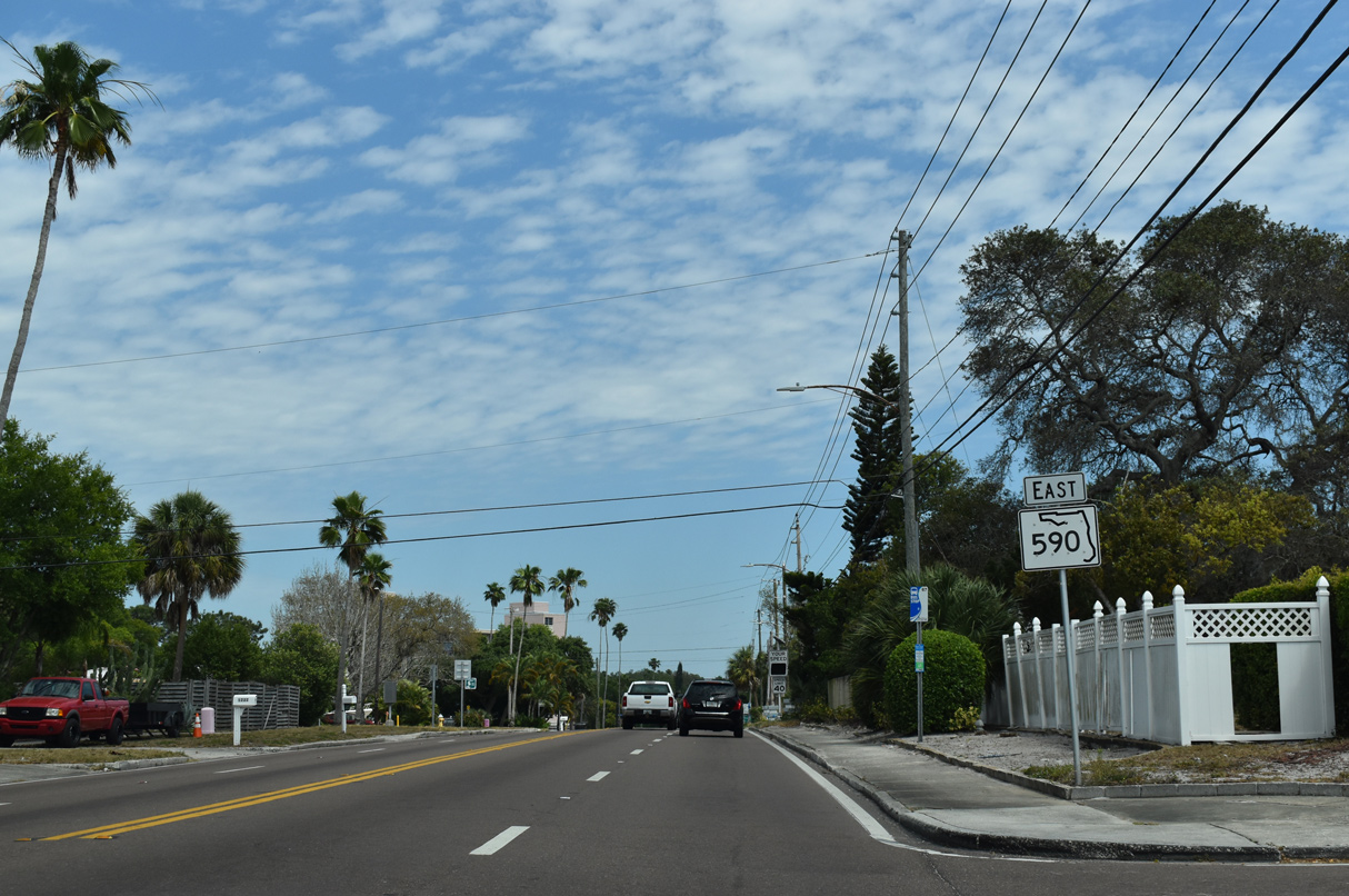
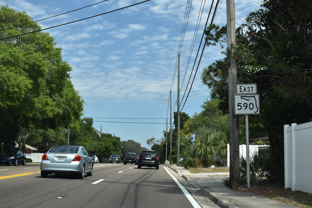
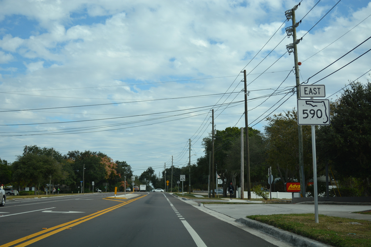
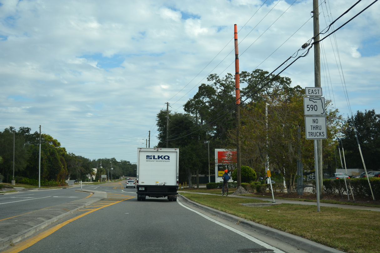
State Road 590 East
Drew Street (former  ) - East
) - East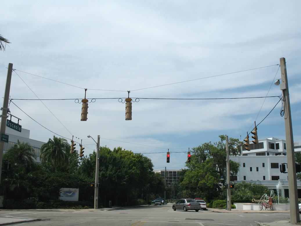
Osceola Street north at Drew Street, one block west of the original west end of SR 590 at Fort Harrison Avenue.
06/23/07
06/23/07
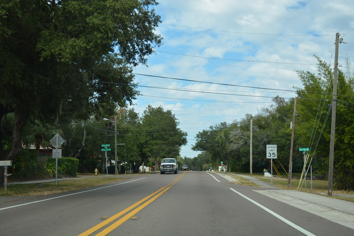
The first confirming marker for SR 590 remains posted along Drew Street east of Fort Harrison Avenue (old U.S. 19 Alternate) in Clearwater.
10/01/16
10/01/16
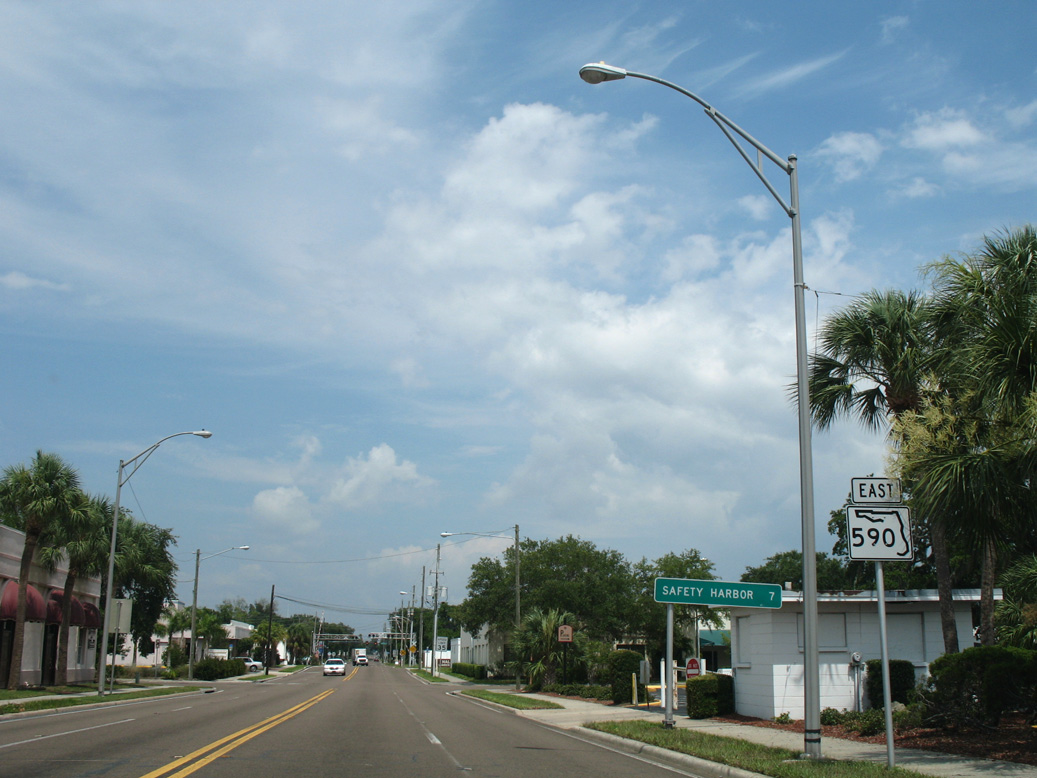
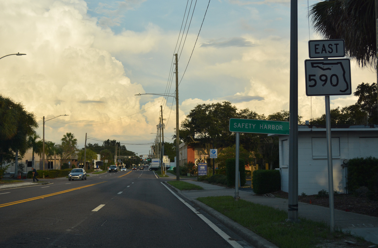
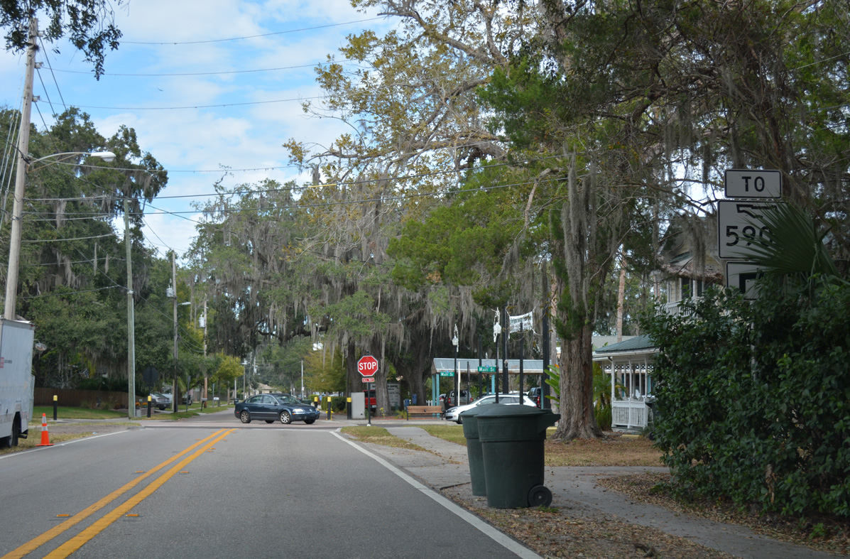
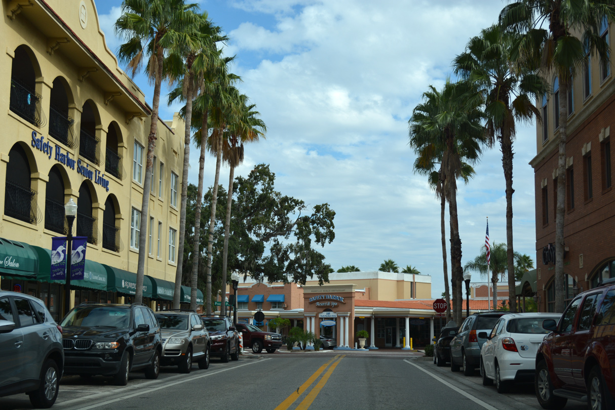
Downtown Safety Harbor is a seven mile drive east from Fort Harrison Avenue along SR 590 (Drew Street) and former sections of the state road.
06/23/07
06/23/07
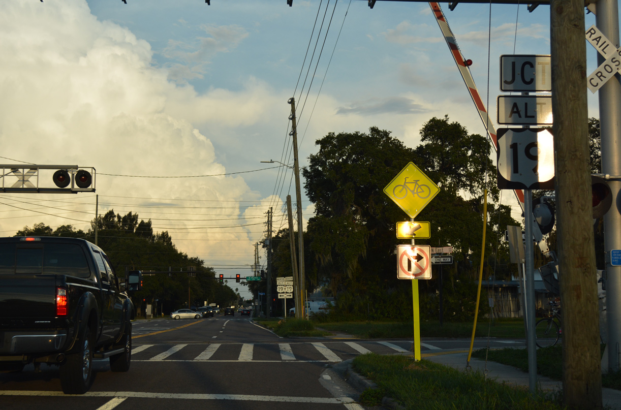
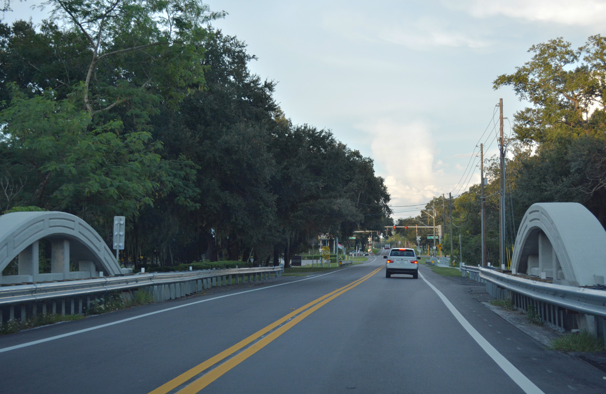
Drew Street (old SR 590) crosses a CSX Railroad spur at East Avenue, one block ahead of U.S. 19 Alternate (Myrtle Avenue).
10/01/16
10/01/16
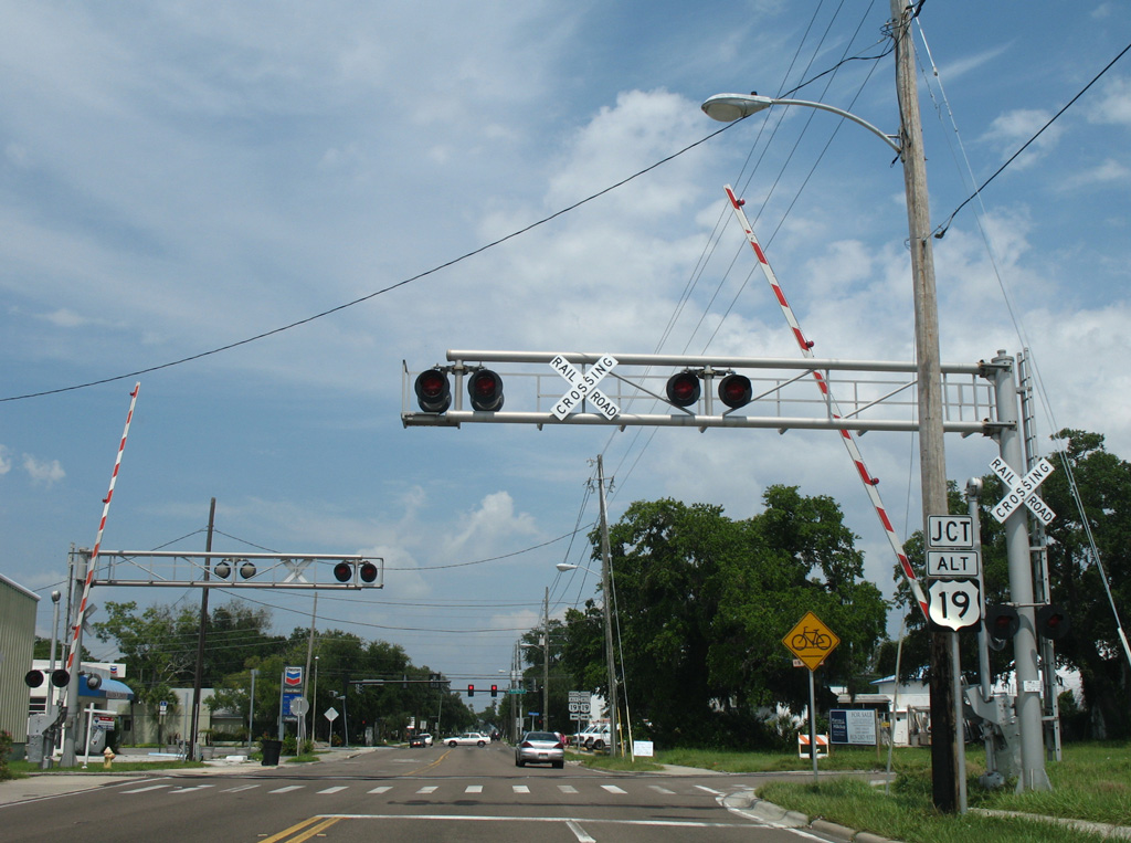
Drew Street (old SR 590) crosses a CSX Railroad spur at East Avenue, one block ahead of U.S. 19 Alternate (Myrtle Avenue).
06/23/07
06/23/07
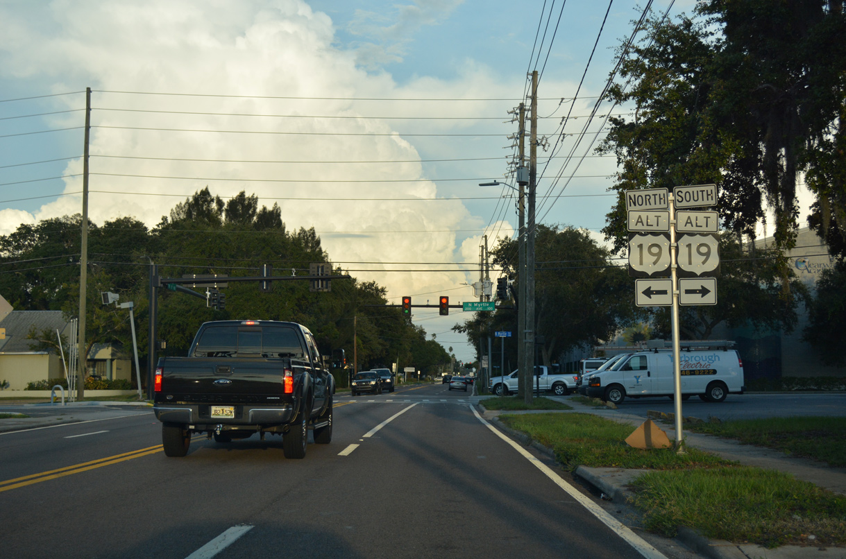
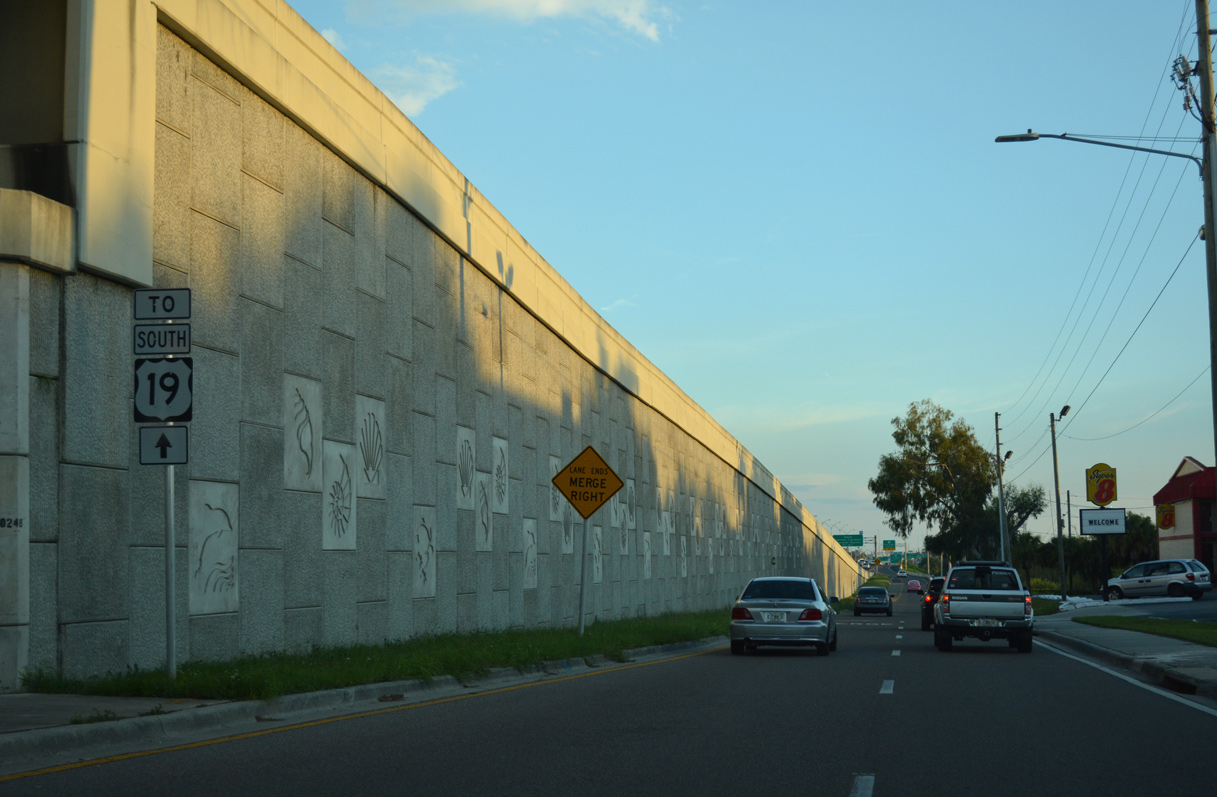
U.S. 19 Alternate branches north from SR 60 (Court / Chestnut Streets) at Downtown Clearwater along Myrtle Avenue to Fort Harrison Avenue ahead of Stevenson Creek and Dunedin. The US route was realigned eastward from Fort Harrison Avenue following the completion of the Clearwater Memorial Causeway bridge along SR 60.
10/01/16
10/01/16
East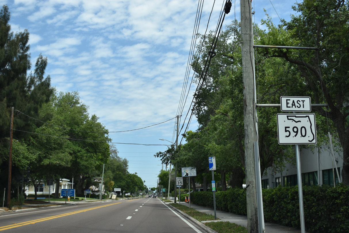
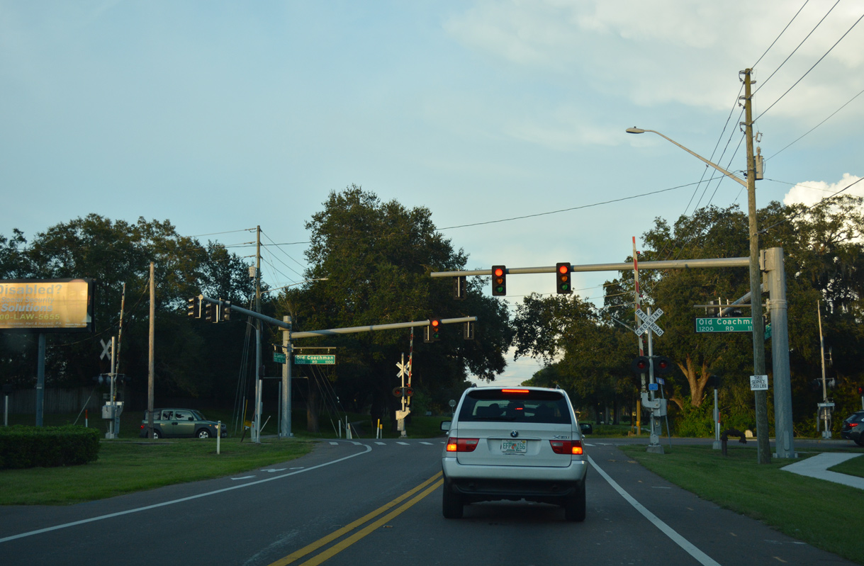
The state maintained portion of Drew Street extends 2.648 miles east from U.S. 19 Alternate (Myrtle Avenue) to NE Coachman Road.
04/03/20
04/03/20
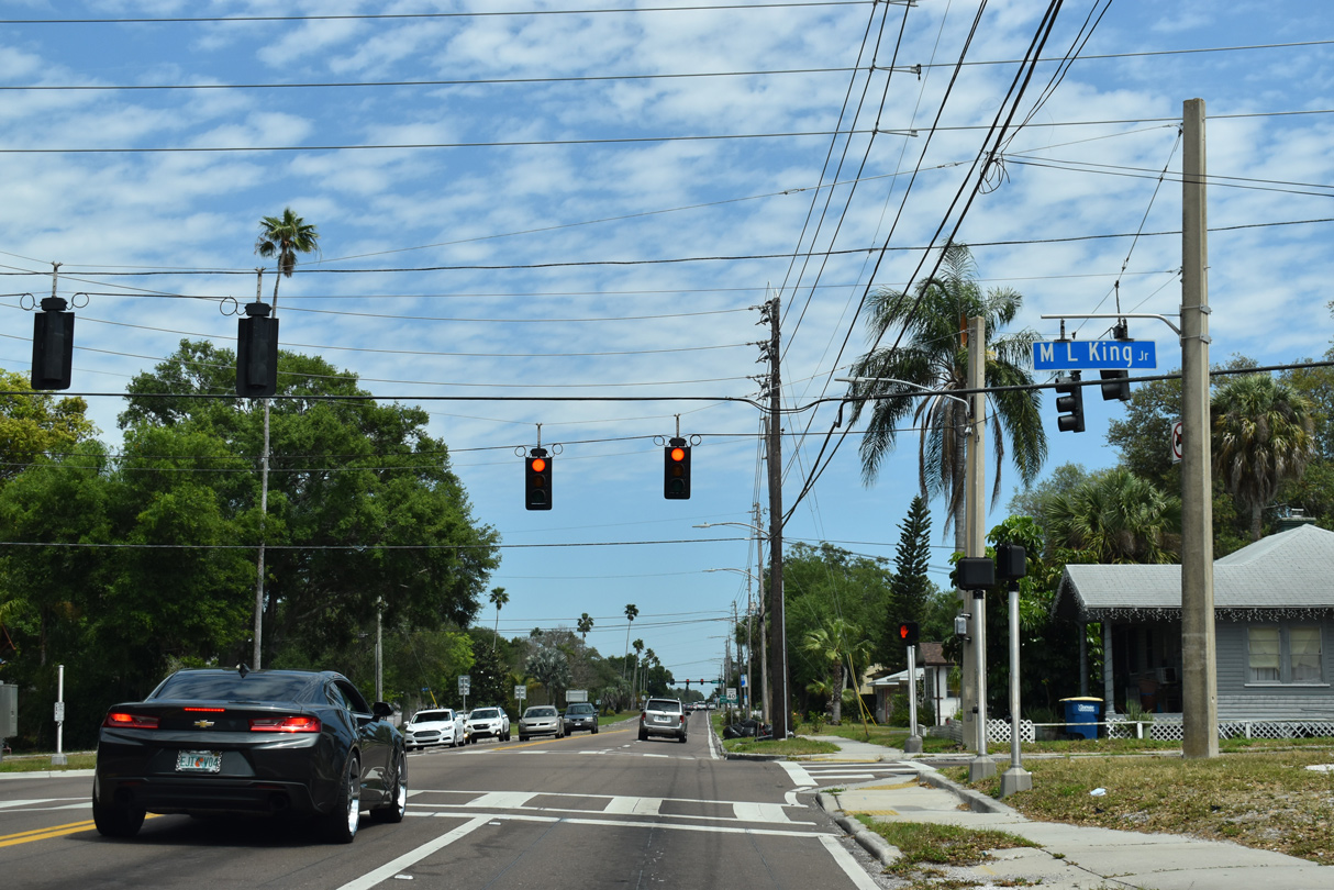
Proceeding east along Drew Street from Myrtle Avenue, the succeeding traffic light is with Martin Luther King, Jr. Avenue by the Country Club Estates neighborhood.
04/03/20
04/03/20
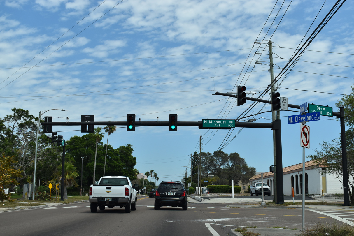
Missouri Avenue, the alignment of U.S. 19 Alternate south from SR 60 (Court Street) to the city of Largo, continues north as a local arterial to Cleveland Street, and a two lane street to SR 590 (Drew Street) at NE Cleveland Street.
04/03/20
04/03/20
This reassurance marker for SR 590 stands east of the intersection with NE Cleveland Street and Missouri Avenue.
04/03/20
04/03/20
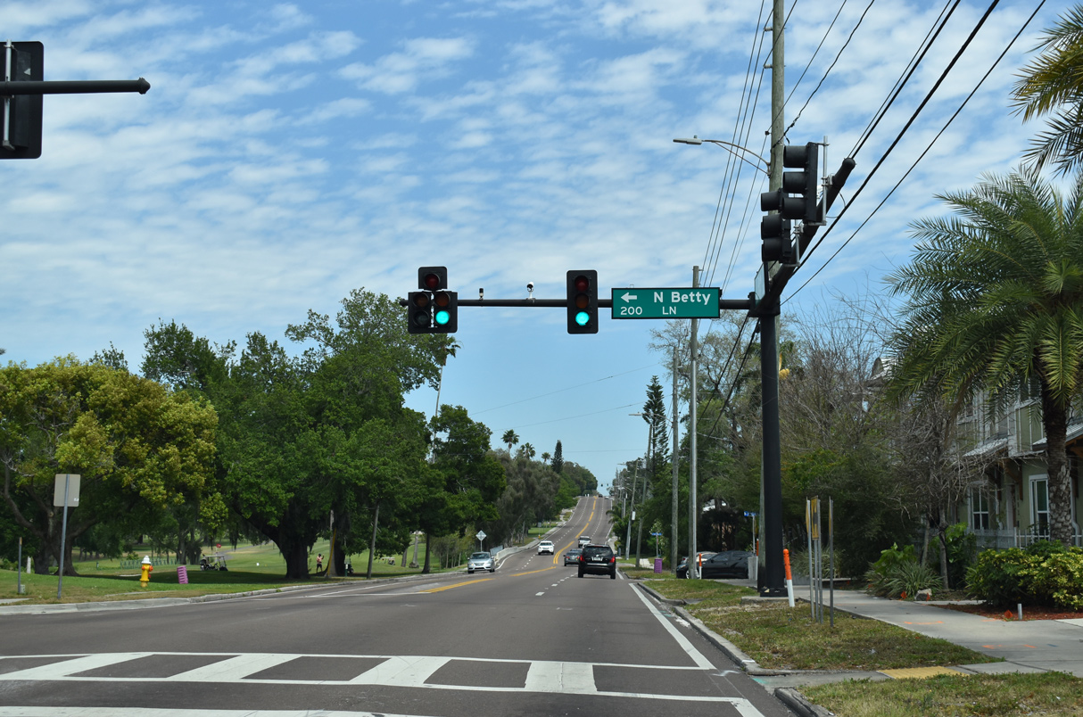
Betty Lane (unsigned CR 355) stems 1.33 miles north from Drew Street between the Country Club Estates neighborhood and Clearwater Country Club golf course to Overbrook Avenue and Douglas Avenue (CR 345).
04/03/20
04/03/20
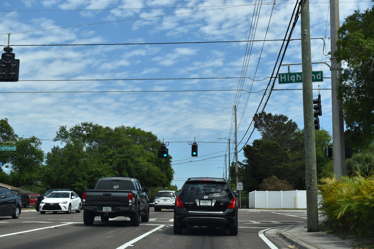
SR 590 (Drew Street) meets Highland Avenue between the Glenview and Skycrest neighborhoods of Clearwater.
04/03/20
04/03/20
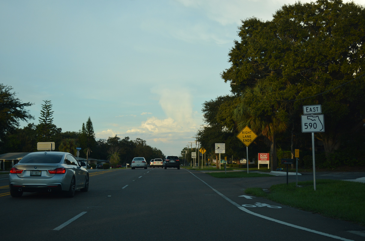
SR 590 advances east from Highland Avenue along the Skycrest neighborhood to NE Coachman Road (CR 528).
04/03/20
04/03/20
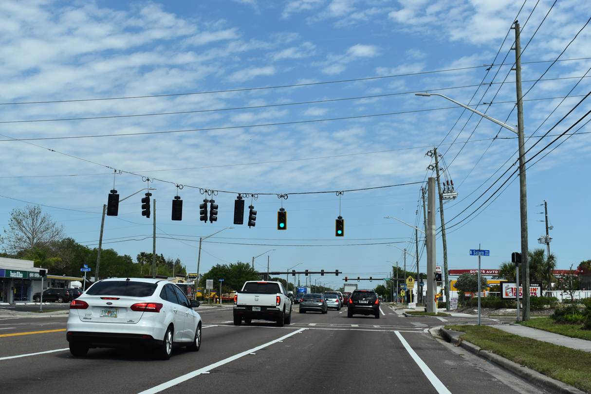
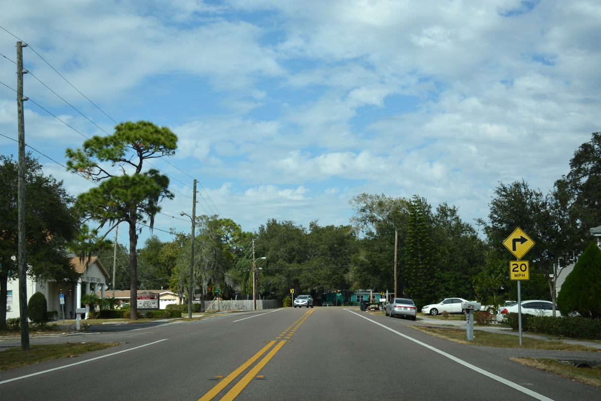
Drew Street expands into a commercial boulevard leading east to the traffic light with Saturn Avenue to Sid Lickton Park.
04/03/20
04/03/20
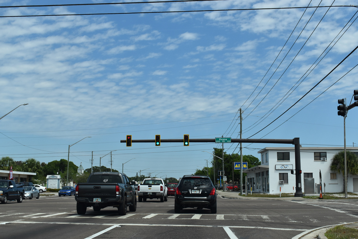
Keene Road (CR 1) travels across the city of Clearwater south to Largo and north to Dunedin and Palm Harbor.
04/03/20
04/03/20
State Road 590 reassurance shield posted east of CR 1 (Keene Road).
04/03/20
04/03/20
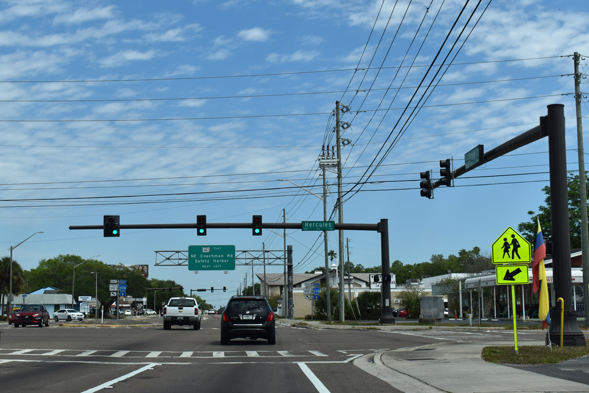
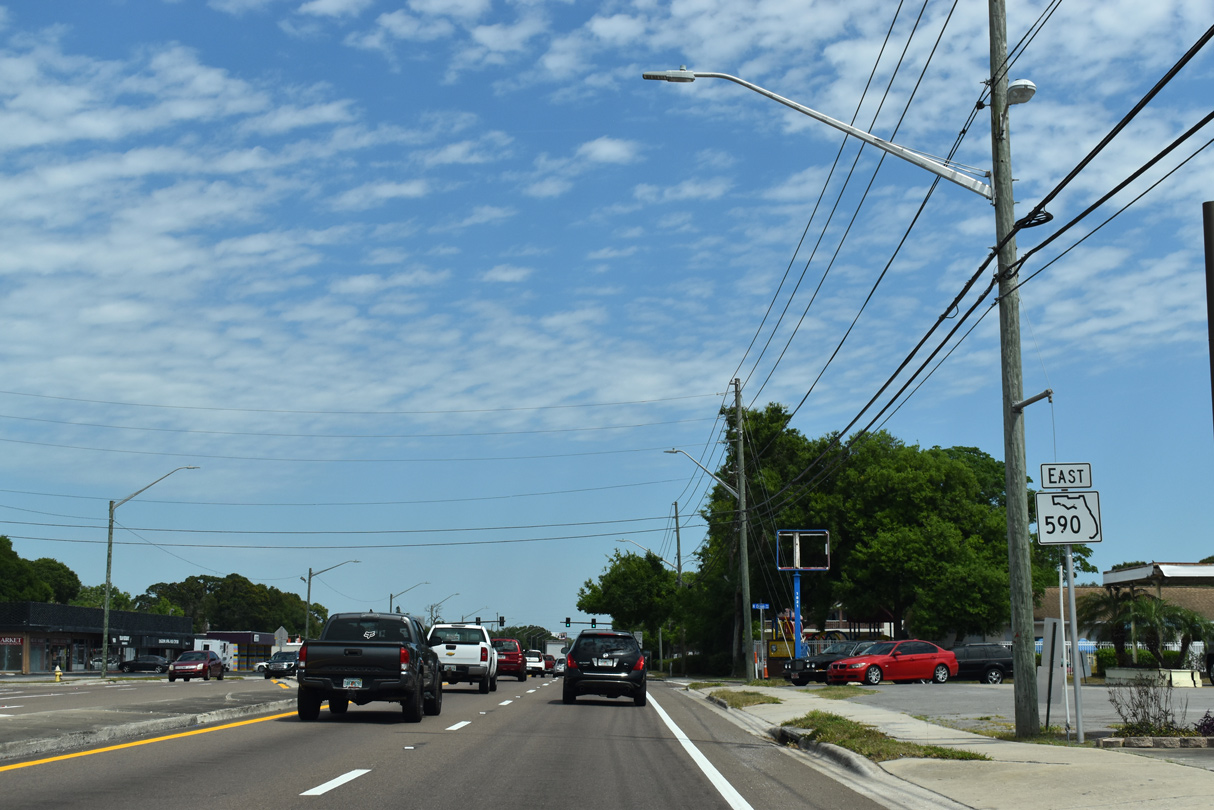
Hercules Avenue (CR 425) crosses SR 590 (Drew Street) north from the Skycrest neighborhood en route to Clearwater Airport and Greenbriar Boulevard.
04/03/20
04/03/20
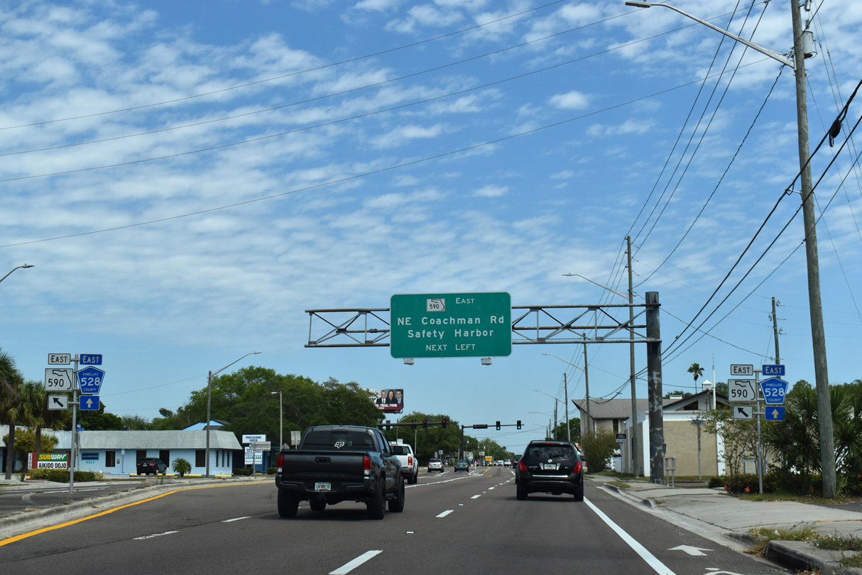
SR 590 branches northeast from Drew Street (CR 528) along NE Coachman Road toward Coachman, Dellwood and Safety Harbor.
04/03/20
04/03/20
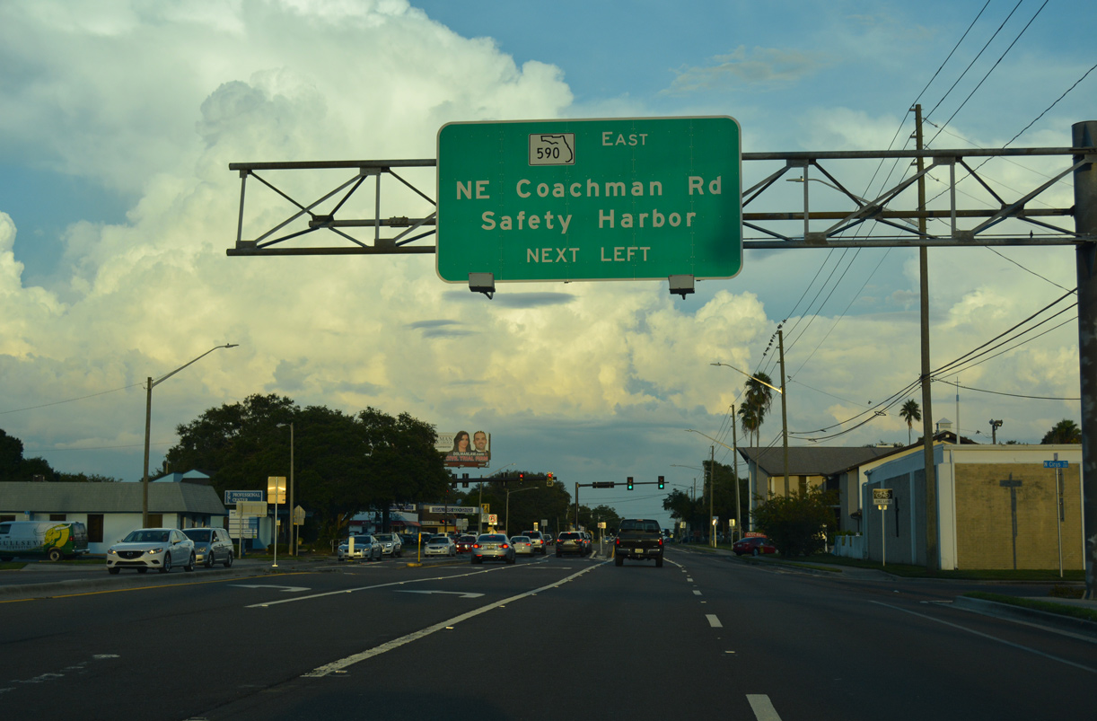
SR 590 branches northeast from Drew Street (CR 528) along NE Coachman Road toward Coachman, Dellwood and Safety Harbor.
10/01/16
10/01/16
Drew Street continues east 1.42 miles from SR 590 (NE Coachman Road) as Pinellas County Road 528 to U.S. 19.
04/03/20
04/03/20
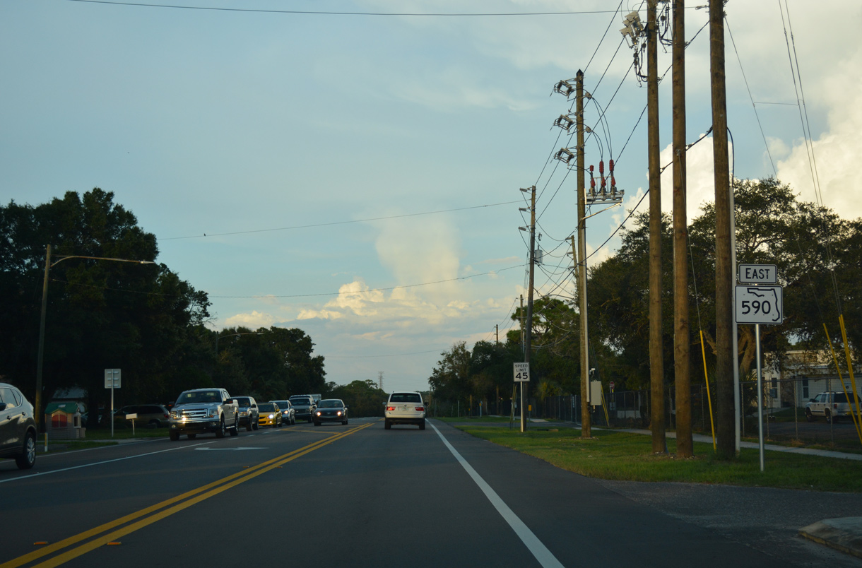
Leading away from Drew Street (CR 528), SR 590 narrows to two lanes along NE Coachman Road.
10/01/16
10/01/16
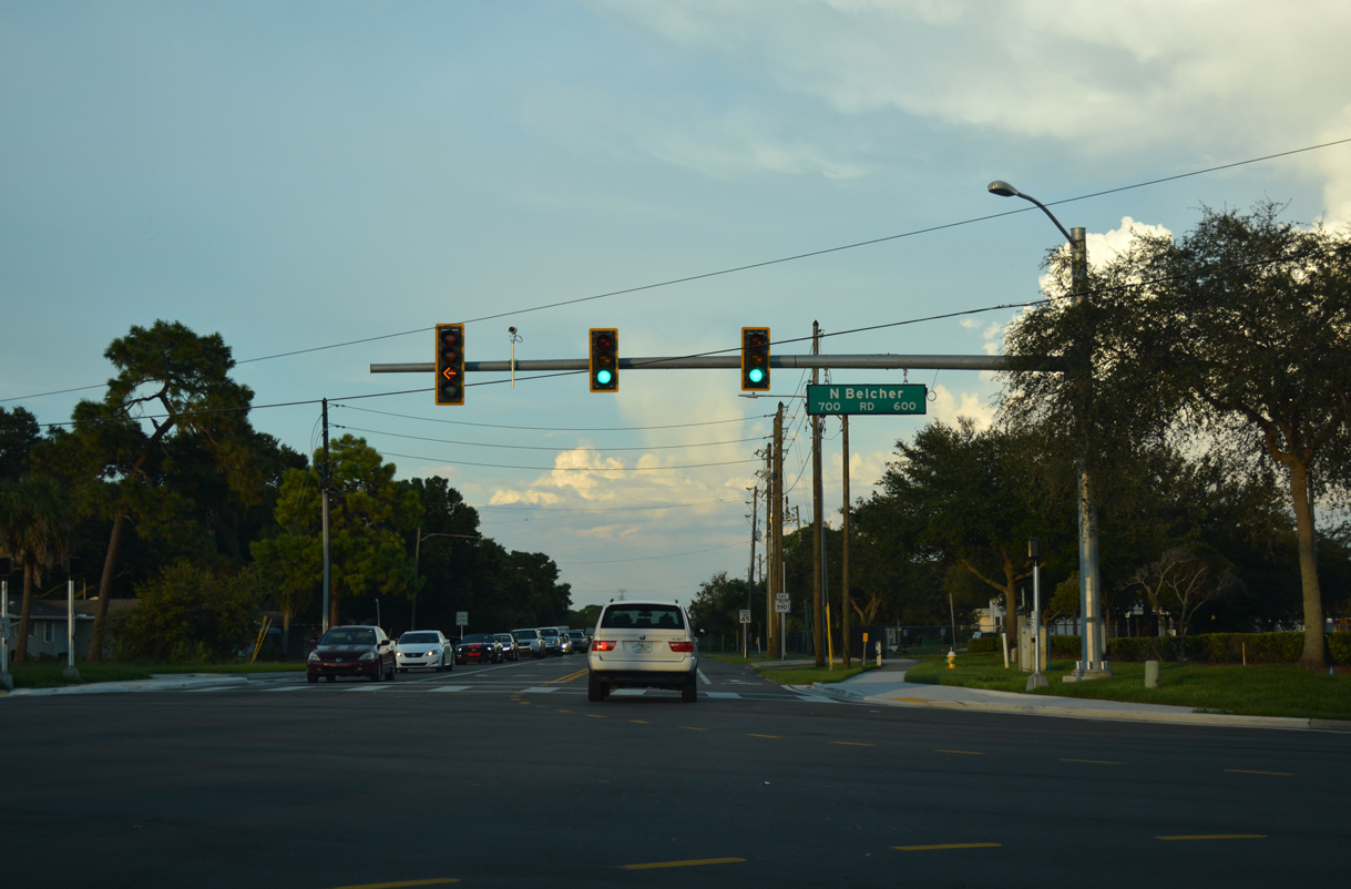
NE Coachman Road angles across Belcher Road at the ensuing traffic light. Unmarked from SR 590, Belcher Road is County Road 501, an arterial route traveling south from Clearwater to Largo and Pinellas Park and north to Palm Harbor and Tarpon Springs.
10/01/16
10/01/16
Continuing northeast from CR 501 (Belcher Road) on SR 590 (NE Coachman Road).
10/01/16
10/01/16
The Moss Rainbow Arch bridge spans Alligator Creek along SR 590 (Coachman Road) at Northeast Coachman Park. The 37.1 foot long crossing was built in 1927.4,5
10/01/16
10/01/16
Old Coachman Road (CR 535) and a CSX Railroad line converge with SR 590 (NE Coachman Road) by Coachman Ridge Park. Old Coachman Road winds northwest from SR 60 (Gulf to Bay Boulevard) to CR 501 (Belcher Road) at Montclair Road (CR 584) along a 1.30 mile course.
10/01/16
10/01/16
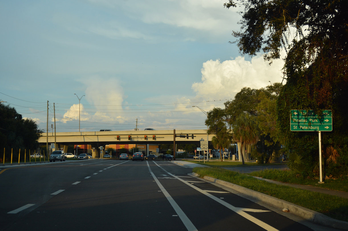
Coachman Road expands with a median on the approach to U.S. 19. U.S. 19 elevates across SR 590 and other major arterials along a freeway north from Pinellas Park to SR 580 in north Clearwater.
10/01/16
10/01/16
U.S. 19 travels the height of Pinellas County, from the Sunshine Skyway (I-275) and Pinellas Point in St. Petersburg to Tarpon Springs and the Pasco County line at Holiday.
10/01/16
10/01/16
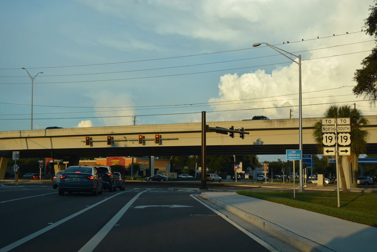
Frontage roads connect SR 590 with the elevated lanes of U.S. 19. The southbound entrance ramp merges with the freeway nearby.
10/01/16
10/01/16
State Road 590 enters a residential grid of streets east from U.S. 19 to Dellwood.
11/15/16
11/15/16
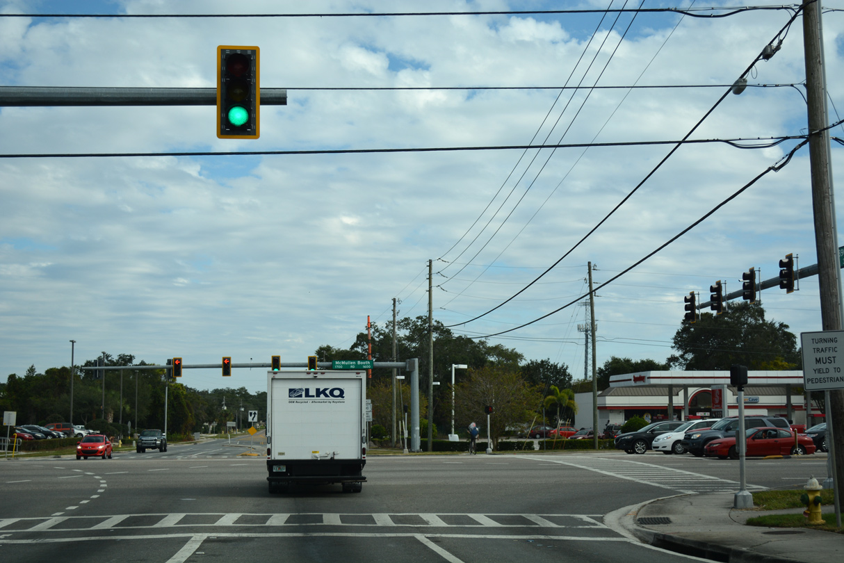
SR 590 intersects CR 611 (McMullen-Booth Road) by Bayside Bridge Plaza shopping center. CR 611 comprises a major arterial route south to the Bayside Bridge and north along the Clearwater and Safety Harbor line to East Lake.
11/15/16
11/15/16
Crossing into the city of Safety Harbor, SR 590 follows 10th Street S from CR 611 to 14th Avenue S.
11/15/16
11/15/16
14th Avenue S leads SR 590 north from 10th Street S to 4th Street S.
11/15/16
11/15/16
A second 90 degree turn takes SR 590 eastbound from 14th Avenue S onto 4th Street S in Safety Harbor.
11/15/16
11/15/16
10th Avenue S leads SR 590 north from 4th Street S toward Downtown Safety Harbor.
11/15/16
11/15/16
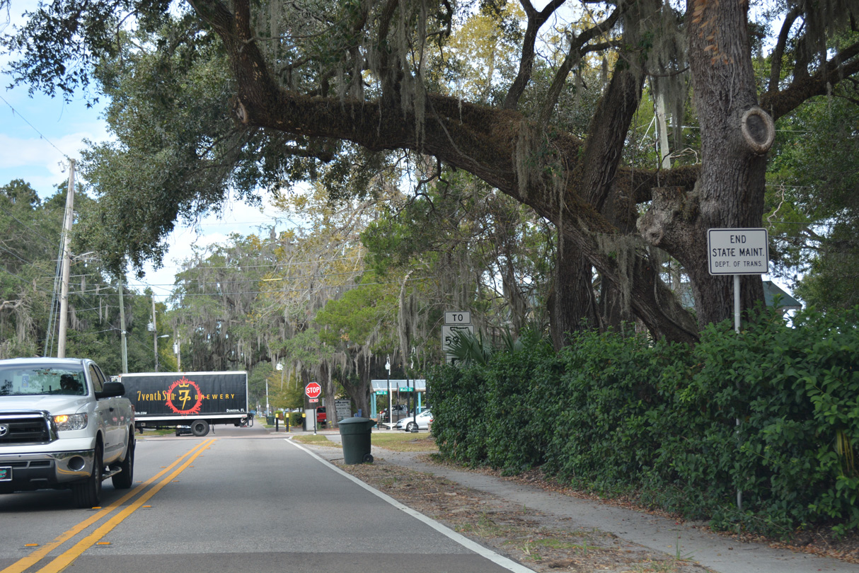
State maintenance along 10th Avenue S ends at Delaware Street, one block south of Main Street at Downtown Safety Harbor.
11/15/16
11/15/16
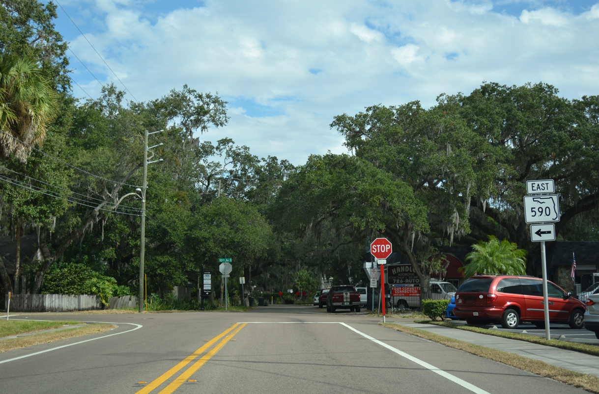
A trailblazer references the former alignment of SR 590 along Main Street east from 10th Avenue S. Main Street west is a part of Pinellas County Road 576 to Sunset Point Road.
11/15/16
11/15/16
Main Street (former ) - East
) - East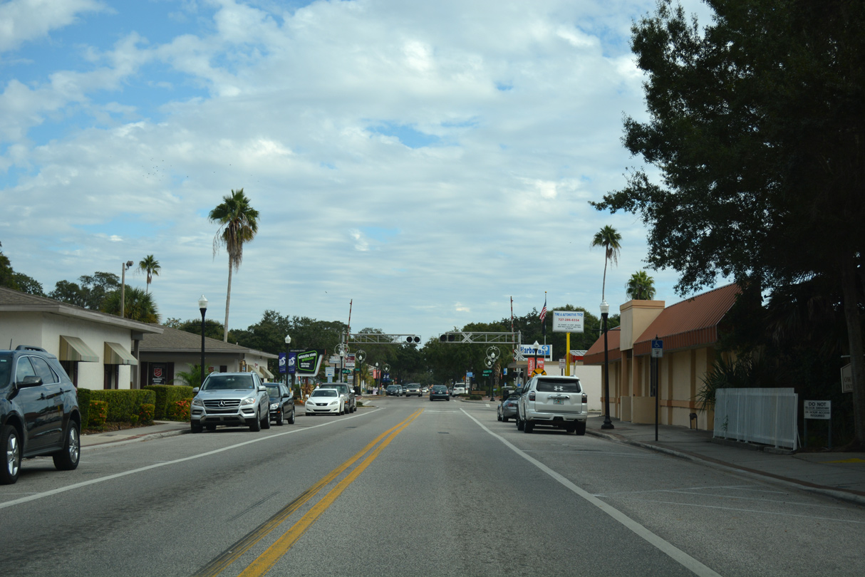
Main Street represents the dividing line for north and south street suffixes in Safety Harbor. One block east from 10th Avenue S, the former alignment of SR 590 crosses a CSX Railroad line.
11/15/16
11/15/16
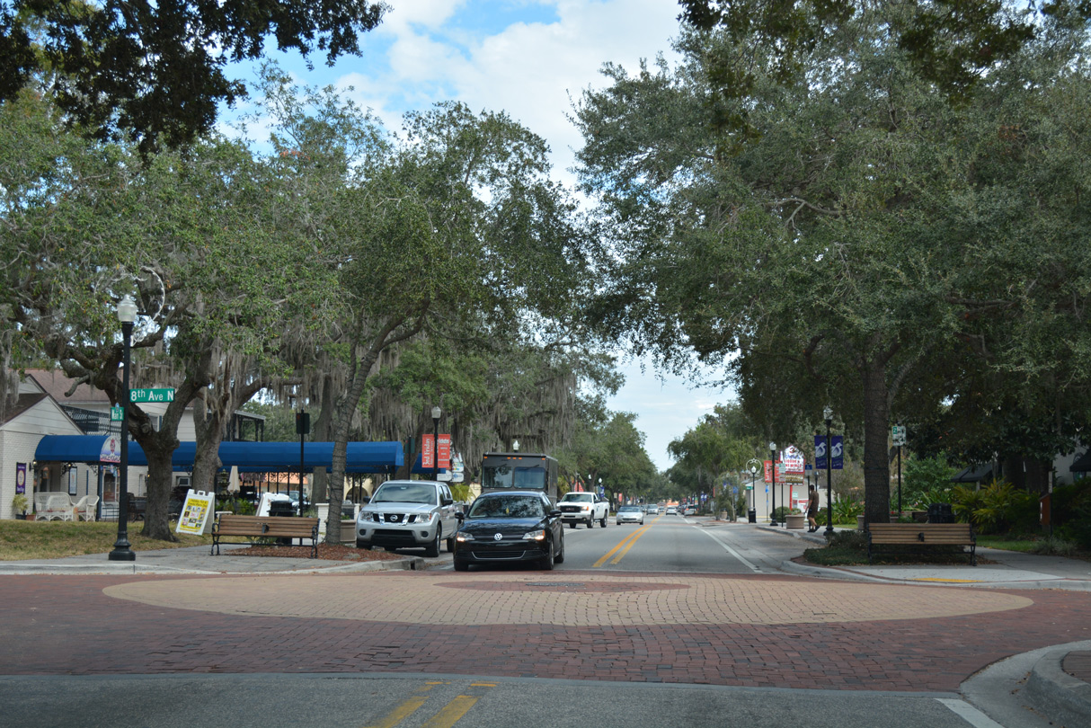
Following the transfer of maintenance from FDOT to the city of Safety Harbor, decorative pavers were added to every intersection along Main Street east from 8th Avenue to Philippe Parkway.
11/15/16
11/15/16
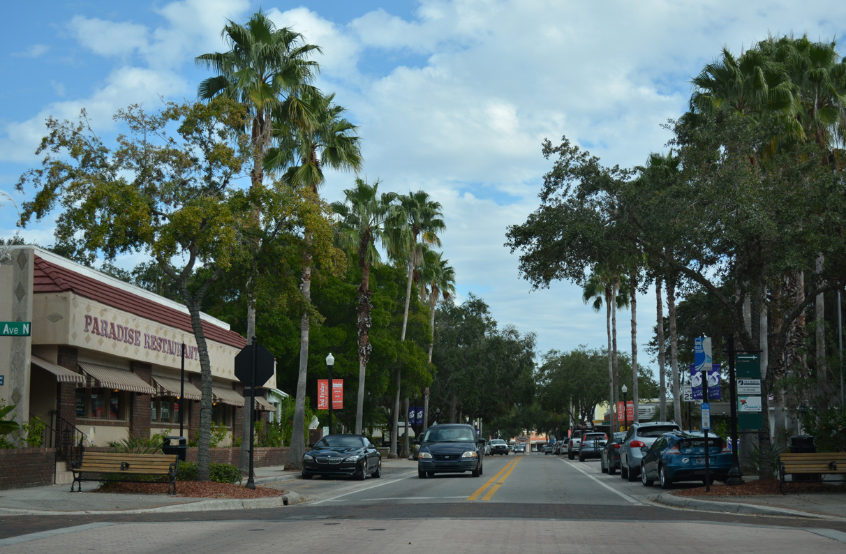
Main Street east at 5th Avenue in Downtown Safety Harbor.
11/15/16
11/15/16
SR 590 turned north from Main Street onto Philippe Parkway at Bayshore Drive and Safety Harbor Resort and Spa.
11/15/16
11/15/16
Philippe Parkway (old ) - North
) - North
Philippe Parkway spans Mullet Creek north from Downtown Safety Harbor before turning northeast at 1st Avenue N.
11/15/16
11/15/16
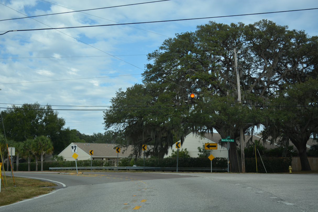
Philippe Parkway parallels the west shore of Old Tampa Bay to Grand Central Avenue, where it bends northward again.
11/15/16
11/15/16
Philippe Parkway north at Bay Place.
11/15/16
11/15/16
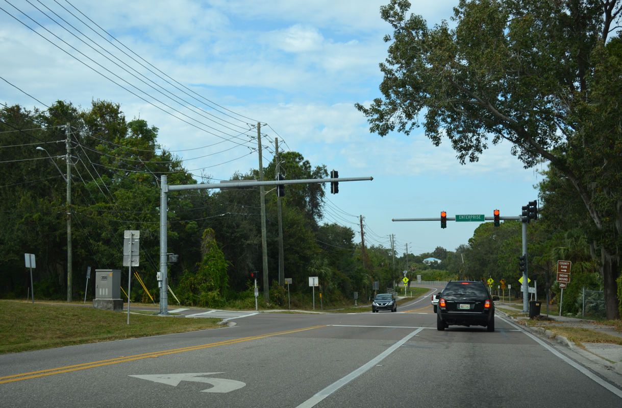
The northern section of SR 590 begins at the intersection of Philippe Parkway and Enterprise Road (CR 638) west. CR 638 is an unsigned route following Enterprise Road 2.94 miles west to the east frontage road of U.S. 19 near Countryside Mall.
11/15/16
11/15/16
East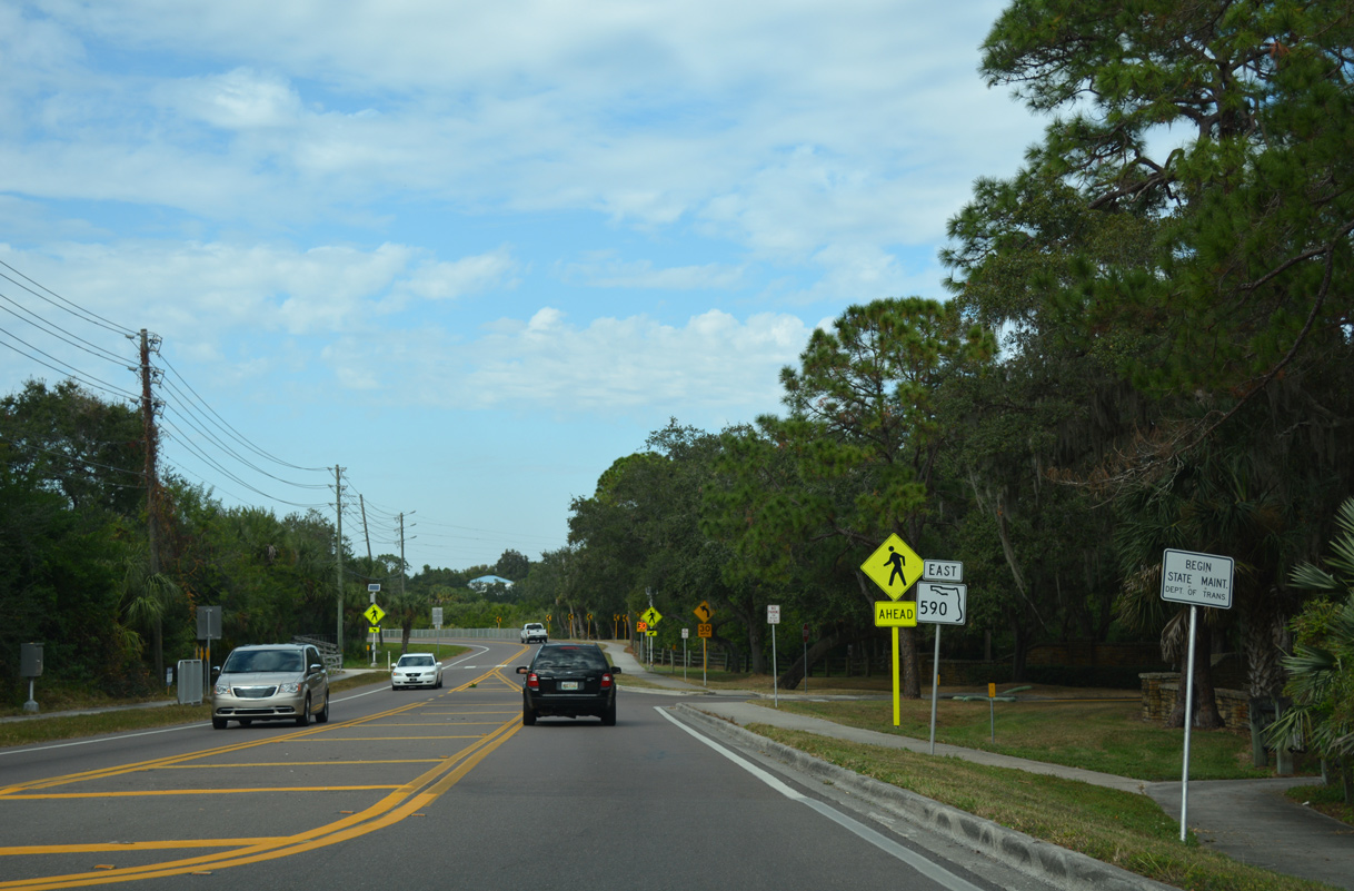
Begin state maintenance posted at Enterprise Road. Bayshore Drive ties into SR 590 from Philippe Park along Old Tampa Bay just ahead.
11/15/16
11/15/16

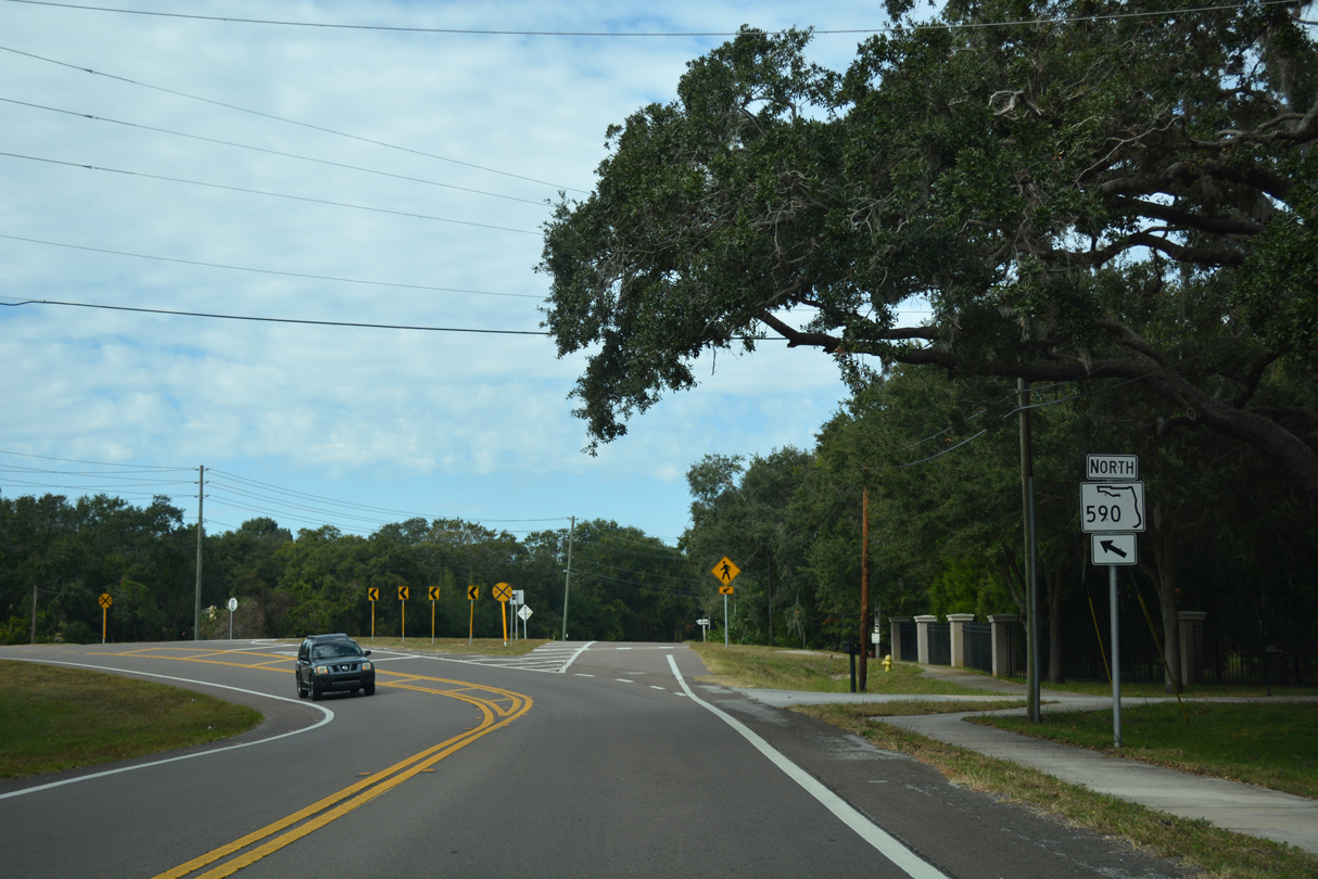
The first shield for SR 590 on Philippe Parkway references east instead of north.
11/15/16
11/15/16
SR 590 separates with Philippe Parkway to connect with SR 590 west of the bridge spanning Safety Harbor. The Philippe Parkway spur northward represents the pre-1988 alignment of SR 590.
11/15/16
11/15/16
SR 590 was realigned 0.38 miles west from Philippe Parkway during construction of the replacement spans taking SR 580 across Old Tampa Bay between Safety Harbor and Oldsmar. The twin spans opened in 1988 and 1989 respectively.
11/15/16
11/15/16
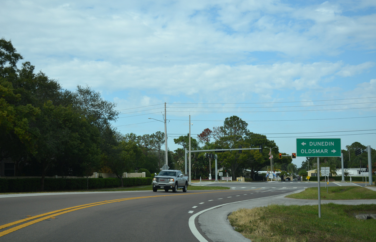
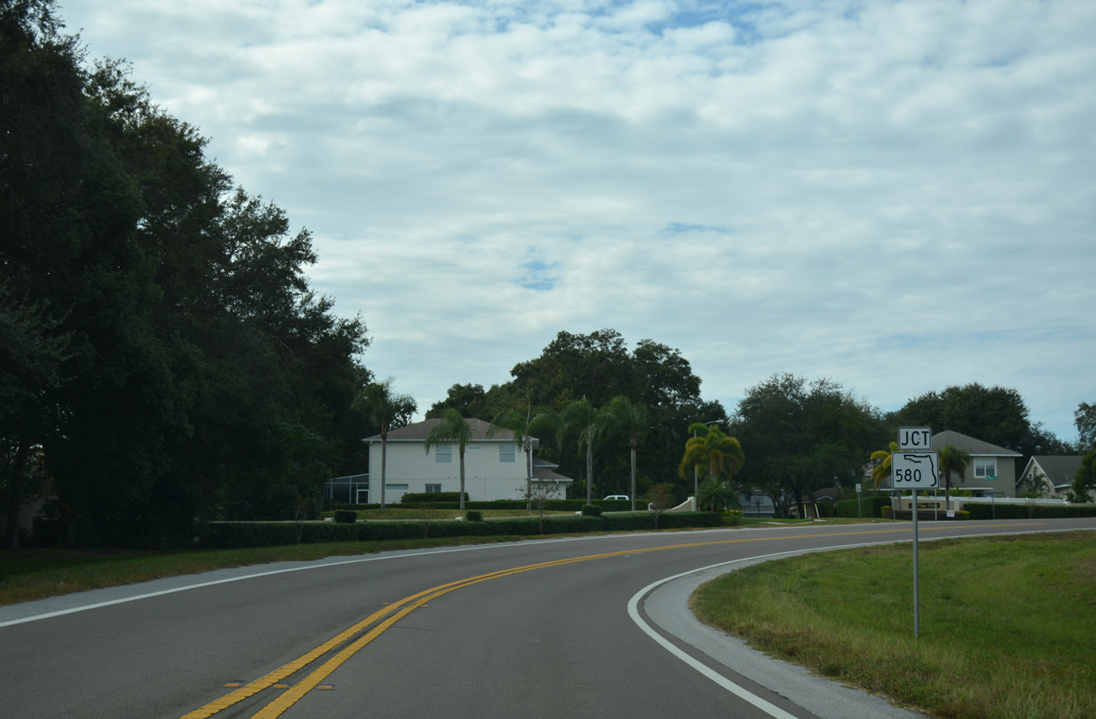
Originating from U.S. 19 Alternate in Dunedin to the west, SR 580 constitutes a major commuting route across the Tampa Bay area.
11/15/16
11/15/16
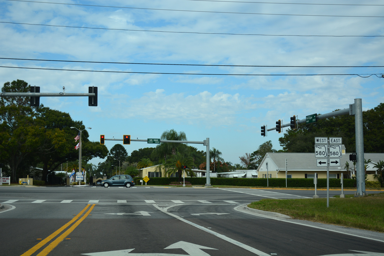
SR 580 circles around northern reaches of Old Tampa Bay, from Oldsmar east to Town 'n' and Tampa International Airport (TPA) in the city of Tampa. The nearly 29 mile route extends east to SR 583 in Temple Terrace.
11/15/16
11/15/16
Photo Credits:
- Alex Nitzman: 06/23/07, 11/15/16
- AARoads: 10/01/16
- ABRoads: 04/03/20
Page Updated Thursday March 25, 2021.