
State Road 590 West
 South
South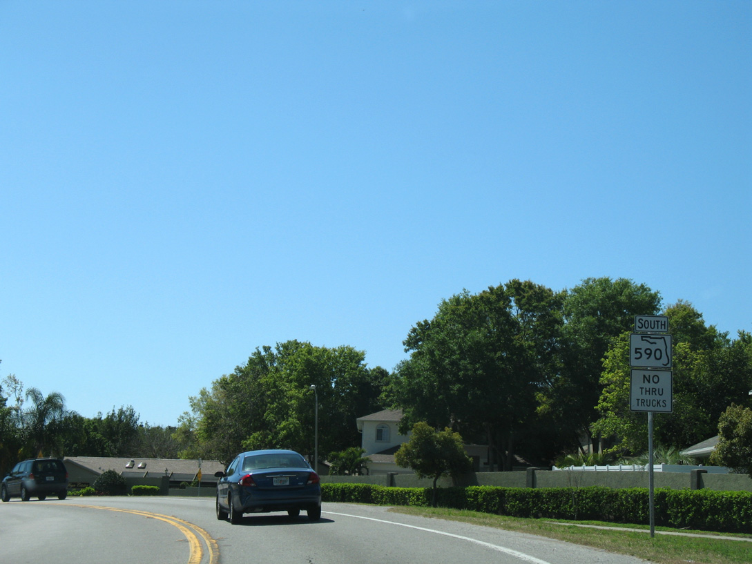
The first confirming marker for SR 590 south stands just beyond SR 590 at 2nd Street in north Safety Harbor.
03/25/07
03/25/07
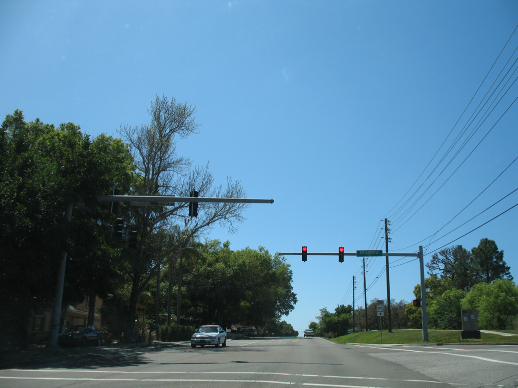
State maintenance along Philippe Parkway south concludes at Enterprise Road (CR 638) west.
03/25/07
03/25/07
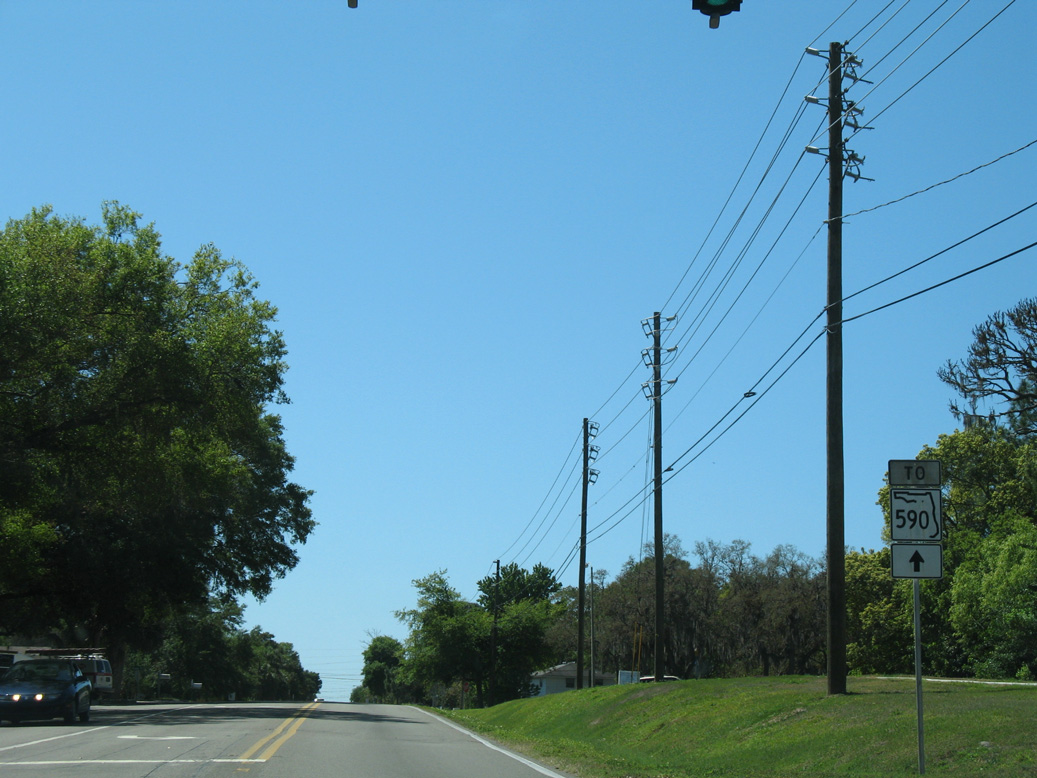
Philippe Parkway continues south along the former alignment of SR 580, 1.6 miles to Main Street in Downtown Safety Harbor.
03/25/07
03/25/07
Philippe Parkway (old ) - South
) - South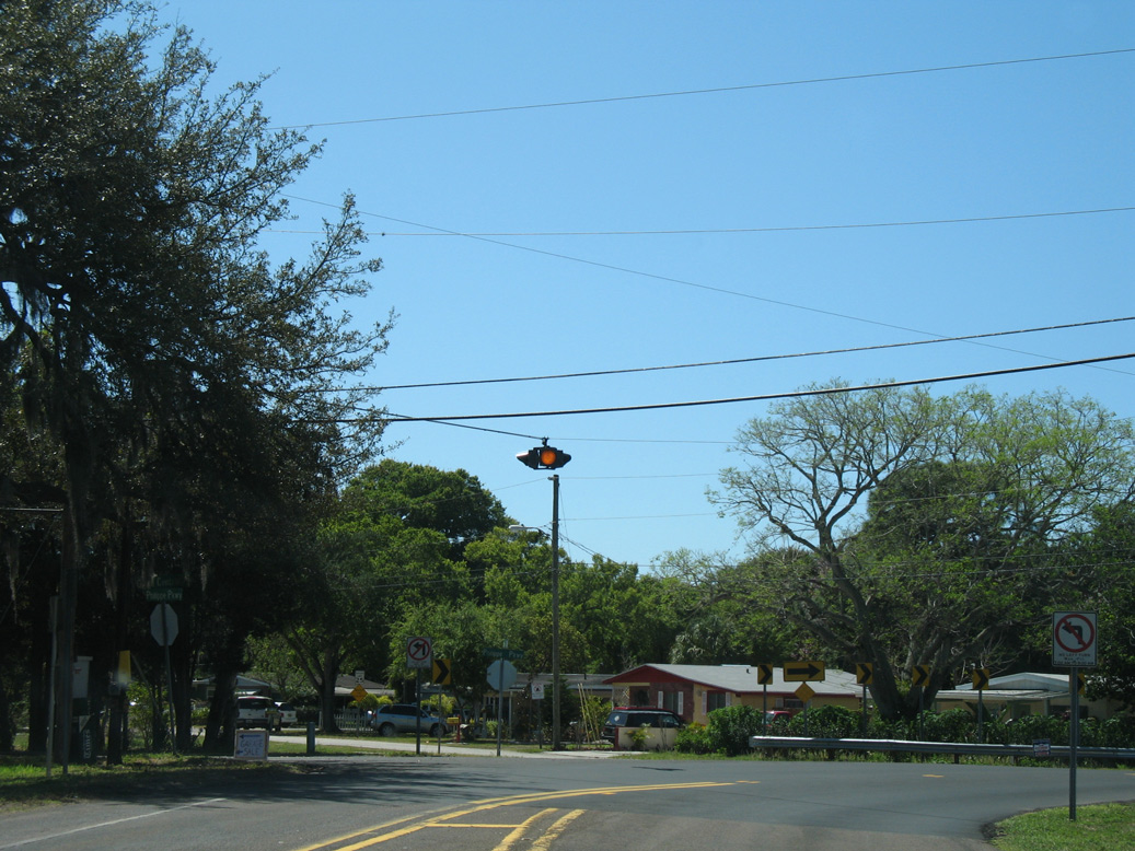
Philippe Parkway angles southwest from this flasher at Grand Central Avenue.
03/25/07
03/25/07
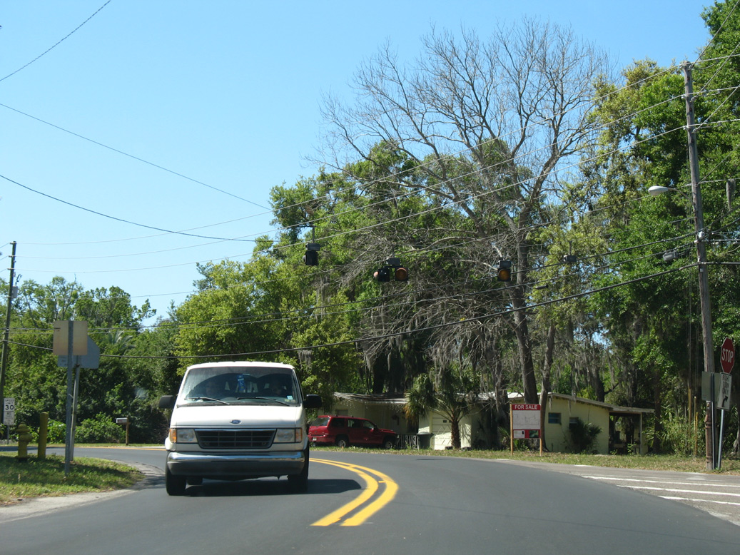
A second flasher operates at the southward curve along Philippe Parkway at 1st Avenue N and Mullet Creek Park.
03/25/07
03/25/07
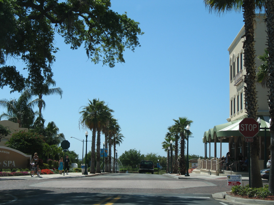
Entering Downtown Safety Harbor, SR 590 turned west from Philippe Parkway onto Main Street.
03/25/07
03/25/07
Main Street (former ) - West
) - West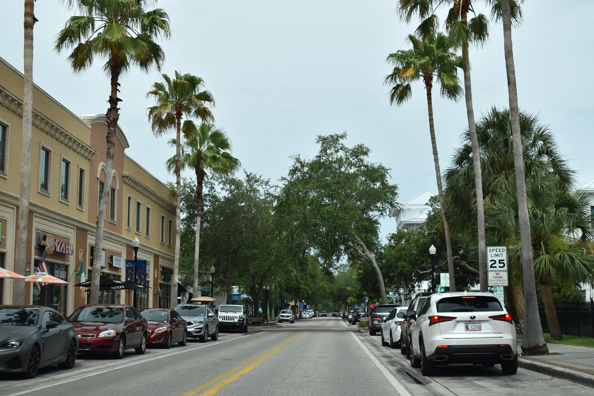
Main Street (former SR 590) west between Phillippe Parkway and 2nd Avenue in the Safety Harbor business district.
04/03/20
04/03/20
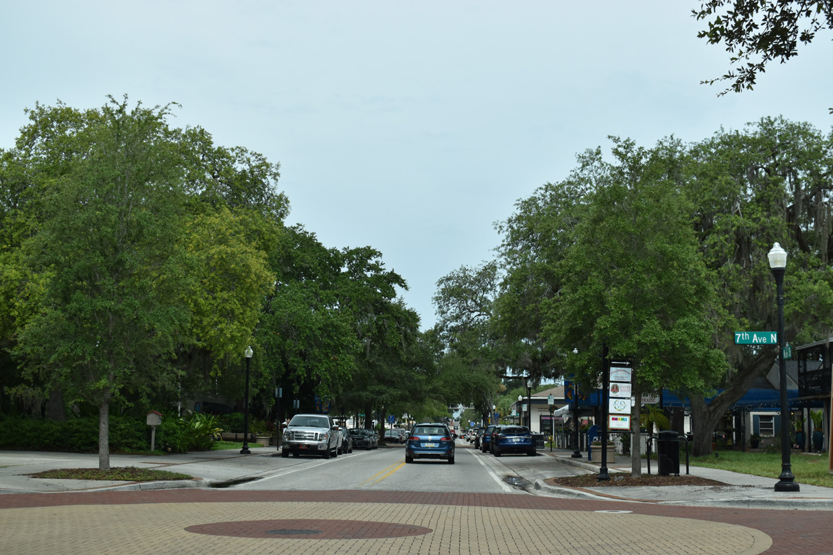
Main Street west at 7th Avenue S/N.
04/03/20
04/03/20
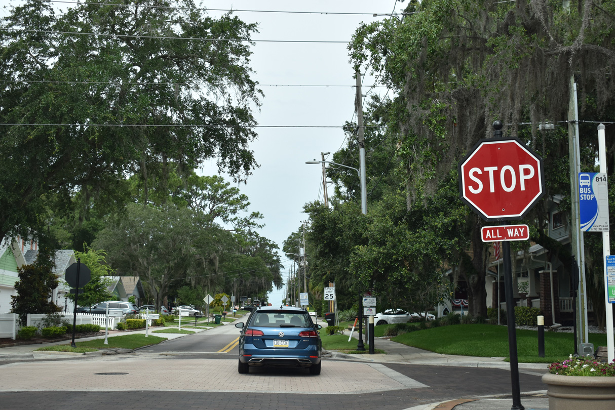
SR 590 westbound used to turn from Main Street onto 10th Avenue S at this intersection.
04/03/20
04/03/20
West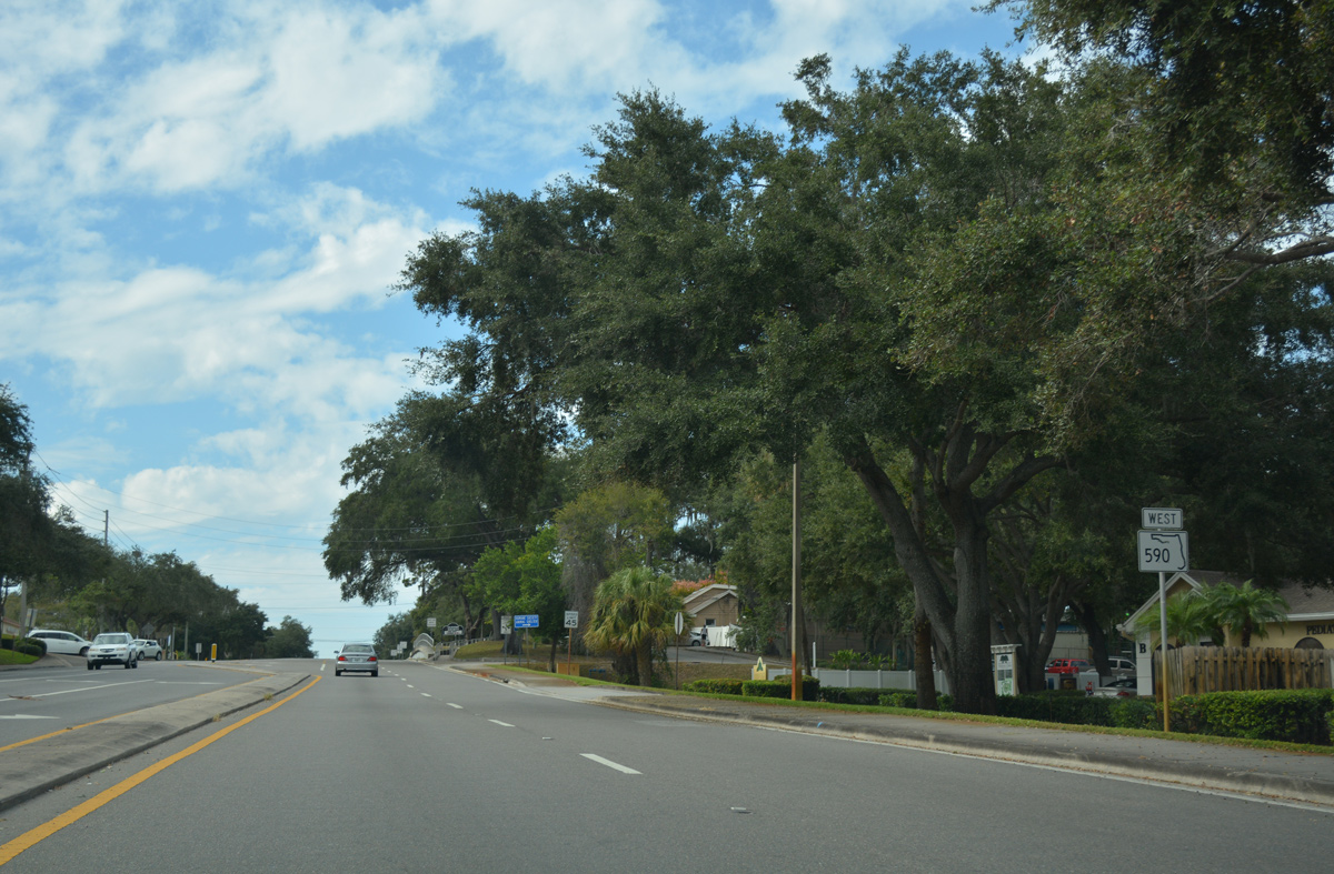
Leaving the city of Safety Harbor, SR 590 advances west from CR 611 (McMullen-Booth Road) into unincorporated Dellwood.
11/15/16
11/15/16
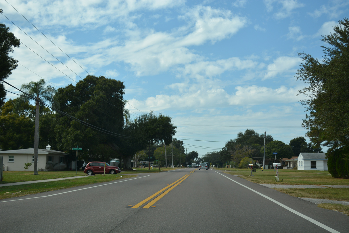
SR 590 narrows to two lanes between a number of subdivisions west from CR 611 to U.S. 19.
11/15/16
11/15/16
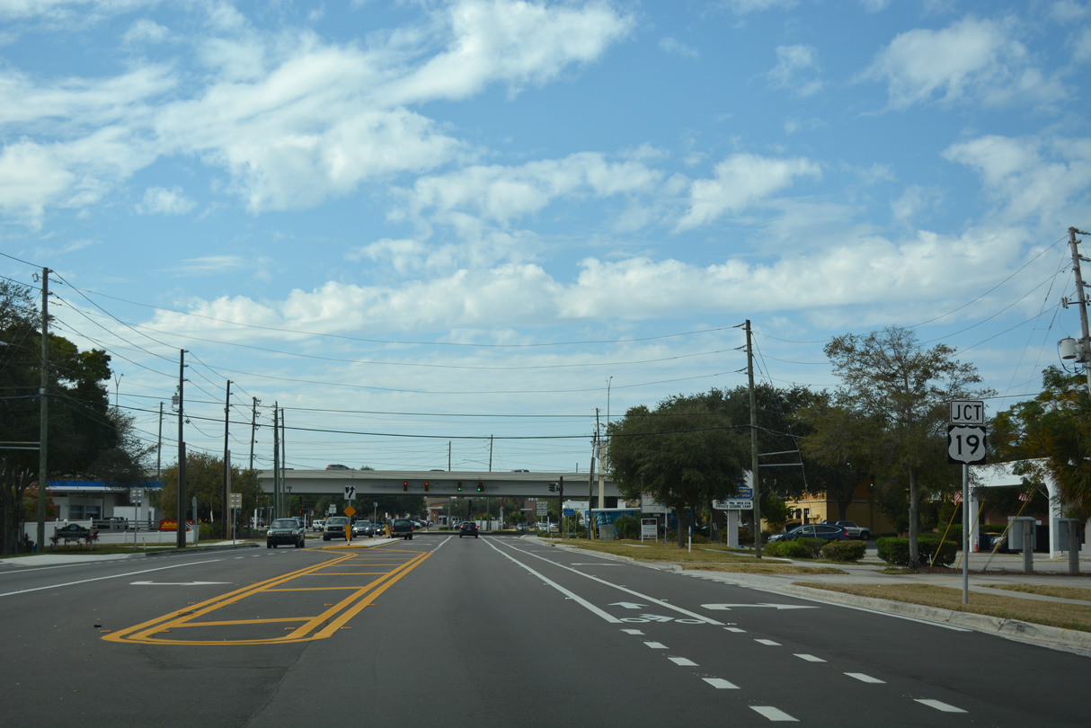
Approaching the U.S. 19 freeway, SR 590 widens through a commercialized stretch within eastern reaches of Clearwater.
11/15/16
11/15/16

Frontage roads accompany the elevated lanes of U.S. 19 north from Alligator Creek to SR 580 at Countryside. Ramps link the freeway with SR 590 and other east-west arterials from the frontage road system.
11/15/16
11/15/16
Drew Street - West
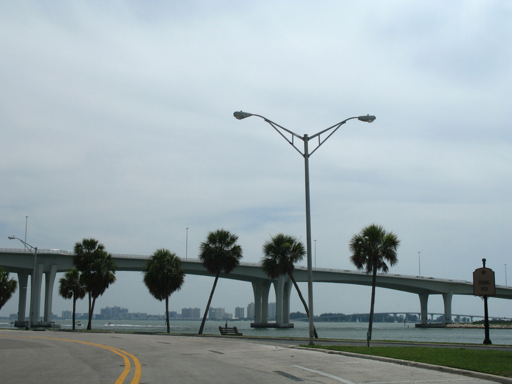
Drew Street continues west from U.S. 19 Alternate (Myrtle Avenue) to Coachman Park along Clearwater Harbor. SR 60 spans the Intracoastal Waterway along the Clearwater Memorial Causeway bridge to Clearwater Beach nearby.
06/23/07
06/23/07
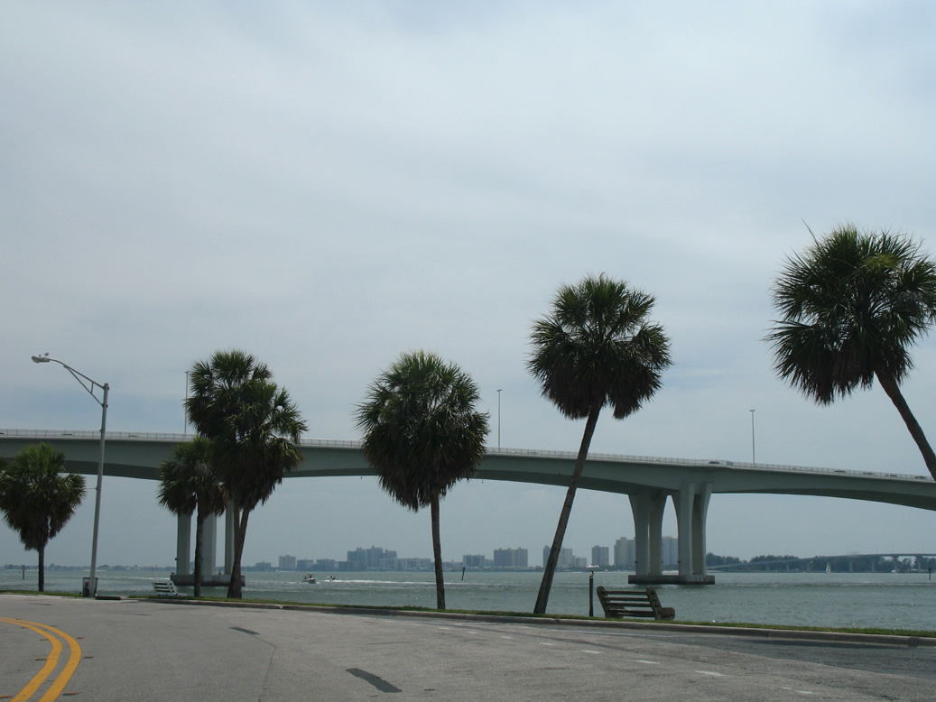
Drew Street continues west from U.S. 19 Alternate (Myrtle Avenue) to Coachman Park along Clearwater Harbor. SR 60 spans the Intracoastal Waterway along the Clearwater Memorial Causeway bridge to Clearwater Beach nearby.
06/23/07
06/23/07
Photo Credits:
- Alex Nitzman: 03/25/07, 06/23/07, 11/15/16
- ABRoads: 04/03/20
Page Updated Thursday March 25, 2021.