
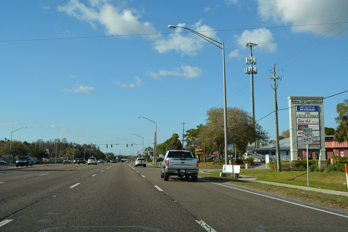
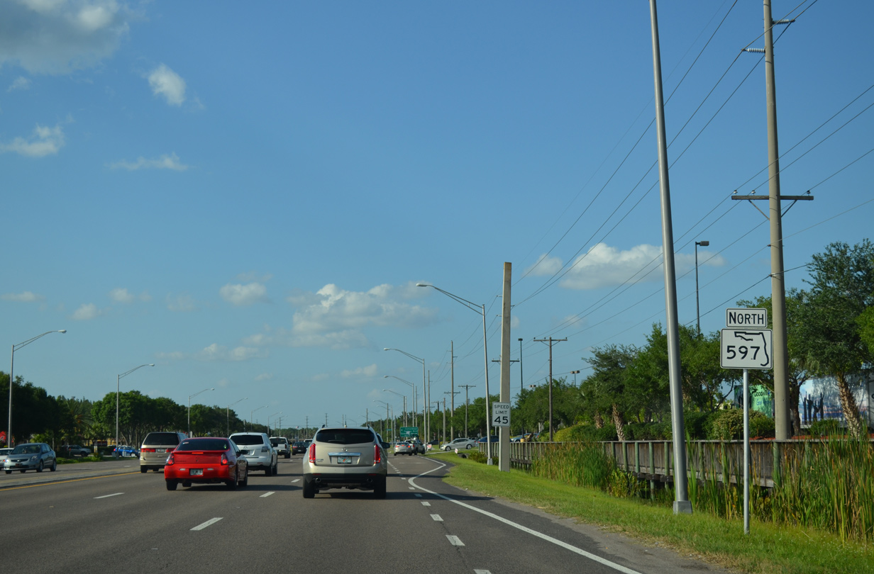
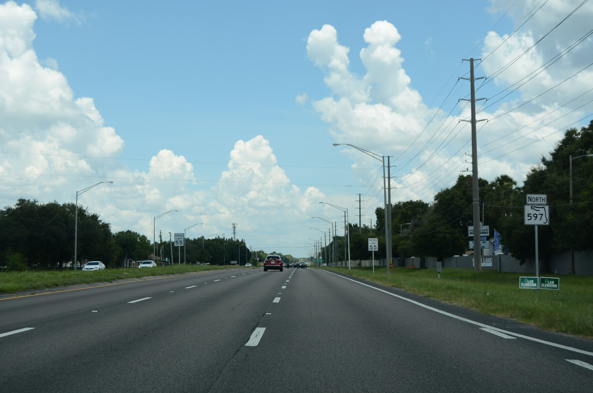
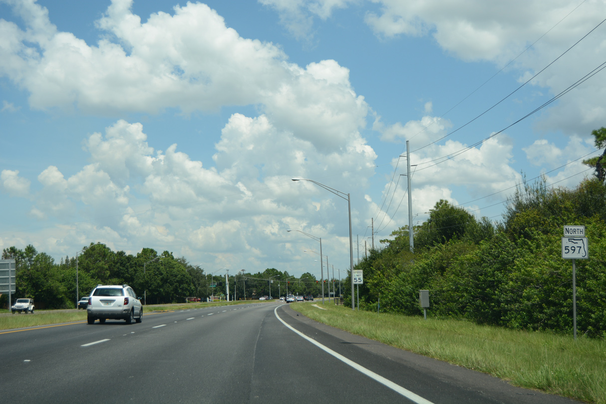
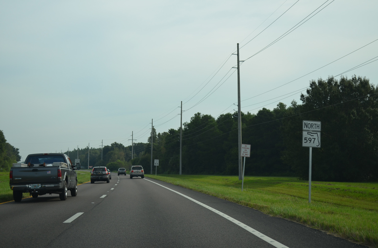
State Road 597 / Dale Mabry Highway - North

 North
North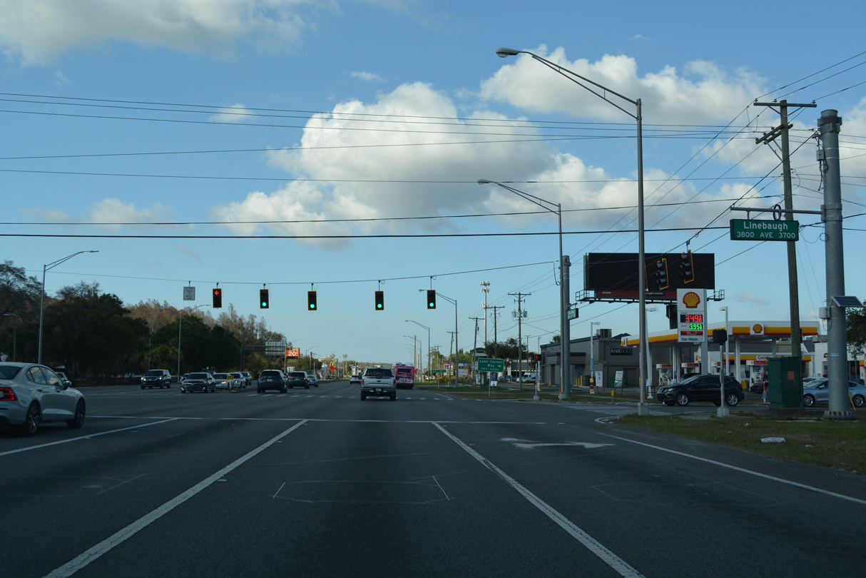
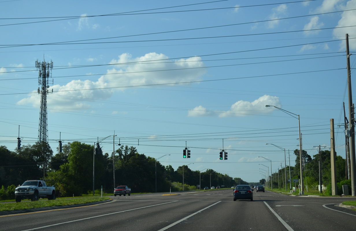
Linebaugh Avenue intersects SR 597 (Dale Mabry Highway) to the immediate north of the folded diamond interchange with Busch Boulevard and Gunn Highway. There are three sections of Linebaugh Avenue. Two segments are located east in the city of Tampa while the branch here runs through Carrollwood to become a major arterial to Westchase.
02/27/22
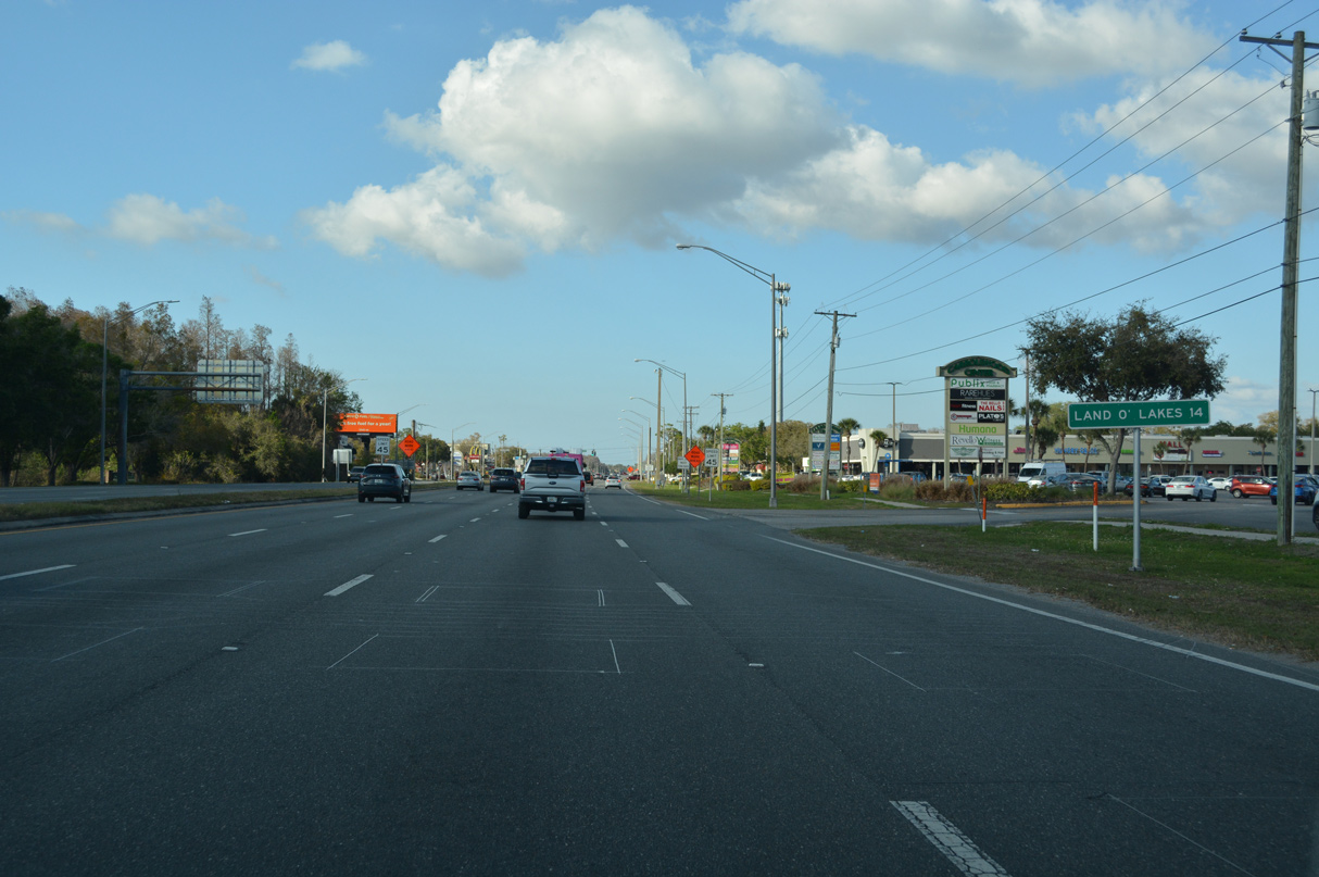
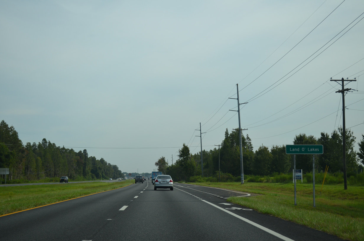
A distance sign appears after Linebaugh Avenue for Land O' Lakes. The unincorporated community in Pasco County centers around U.S. 41, north of SR 54.
02/27/22
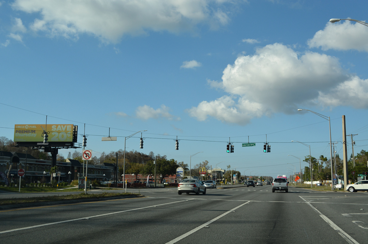
Lake Carroll Way arcs northeast from Dale Mabry Highway as a tree lined gateway to a number of neighborhoods surrounding Lake Carroll.
02/27/22
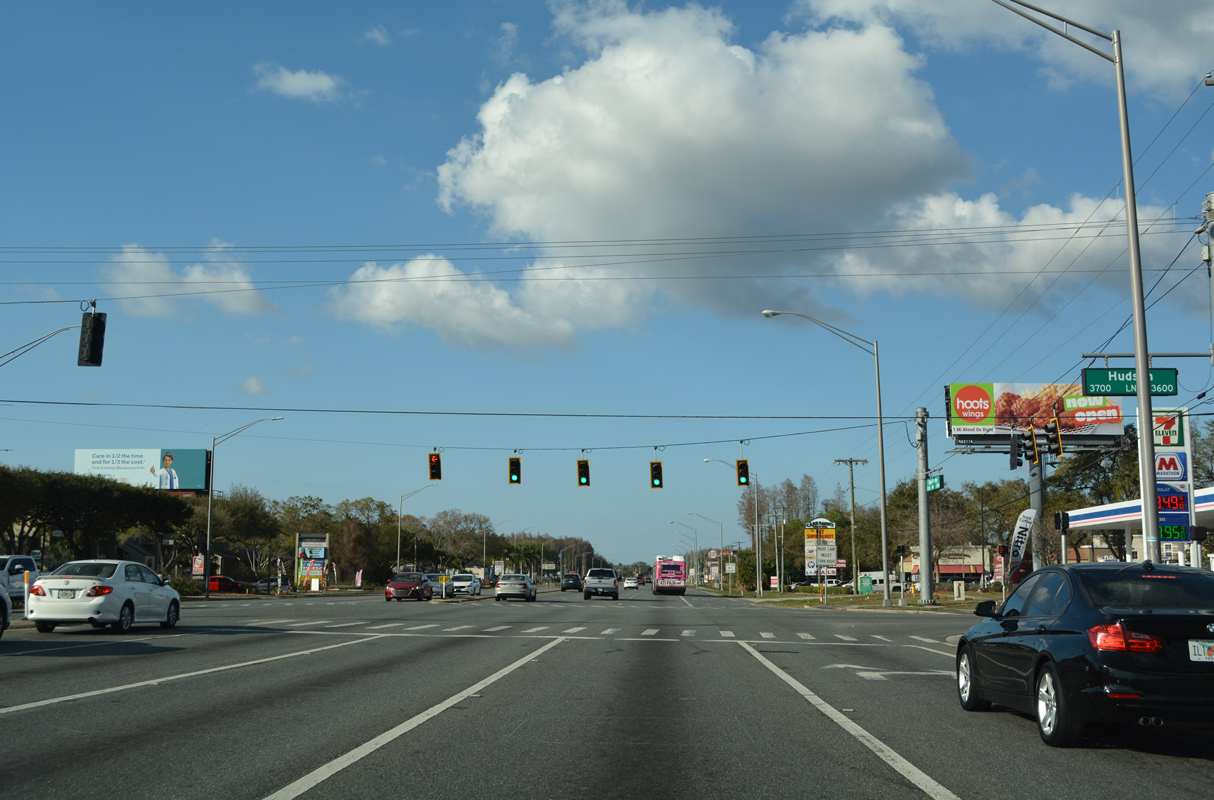
Hudson Lake provides another link to the Lake Carroll area east of the commercial strip along Dale Mabry Highway.
02/27/22
Stall Road connects SR 597 (Dale Mabry Highway) with parallel Orange Grove Drive beside Lake Ellen to the east and the Emerald Greens Golf course community to the west.
02/27/22
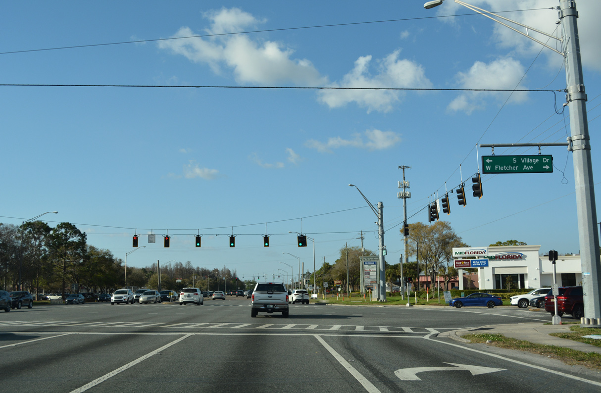
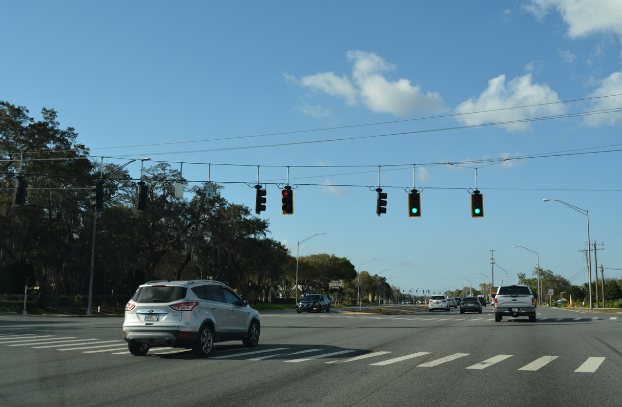
Fletcher Avenue follows as a major arterial route from South Village Drive and Carrollwood Village east to north Tampa and the University of South Florida (USF) area. Portions of Fletcher Avenue east double as unsigned CR 582A to a state maintained section (SR 579) between U.S. 41 Business and U.S. 41.
02/27/22
The first reassurance marker for SR 597 stands just north of Fletcher Avenue where Dale Mabry Highway bends west to circumvent Bay Lake and Little Bay Lake.
09/08/23
Traffic signals operate at the entrance to The Village Center just north of Fletcher Avenue / S Village Drive.
02/27/22
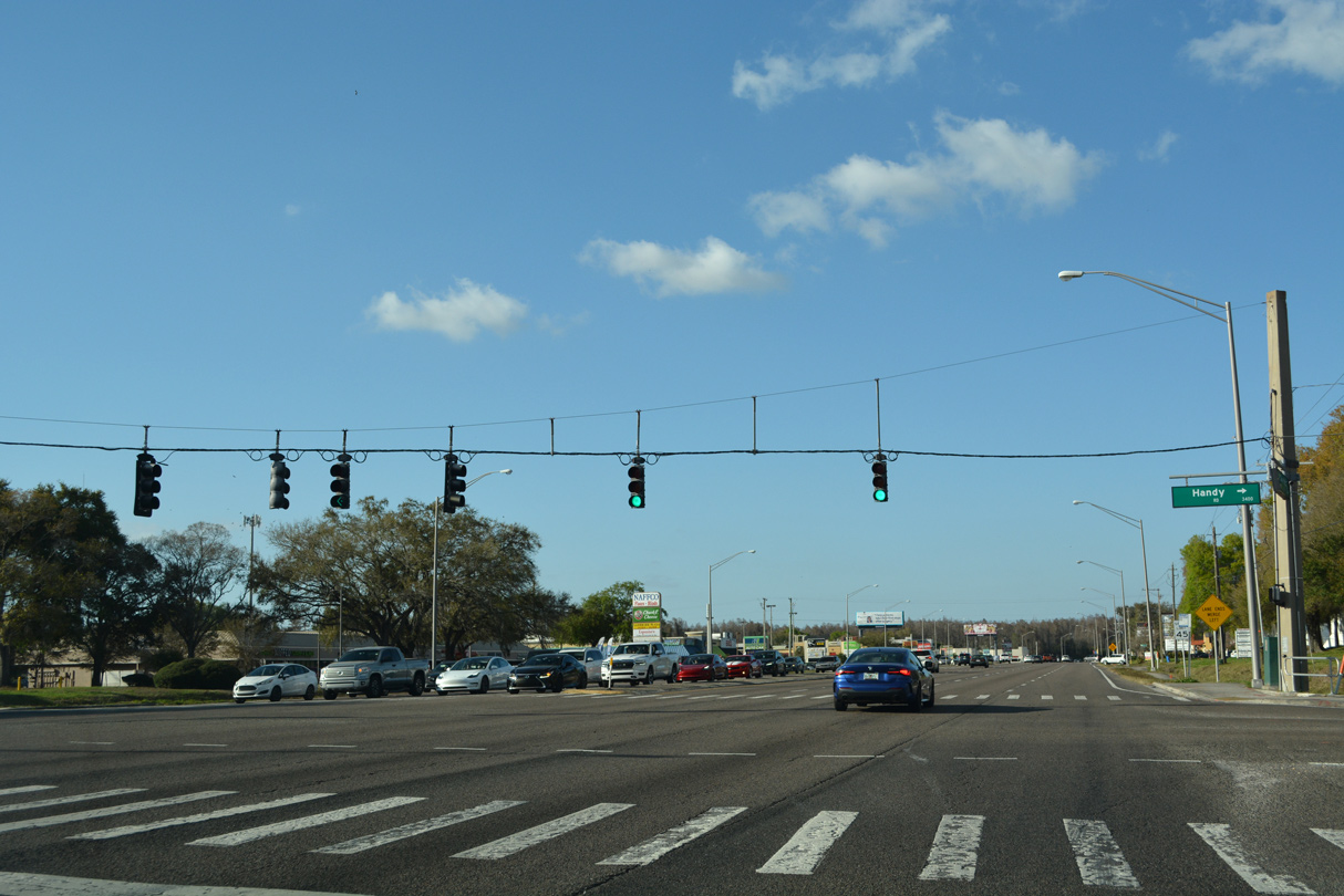
Handy Road stems west from parallel Ehrlich Road to intersect SR 597 (Dale Mabry Highway) opposite N Village Drive. N Village Drive winds west through the Carrollwood Village golf course community.
09/08/23
SR 597 bends back to the east and next enters the busy intersection with Ehrlich Road west and Bearss Avenue east. Ehrlich Road comprises the main route west from Carrollwood and Northdale to the Veterans Expressway. The east-west section is discontinuous in name with the north-south section by Bay Lake due to Bearss Avenue.
09/08/23
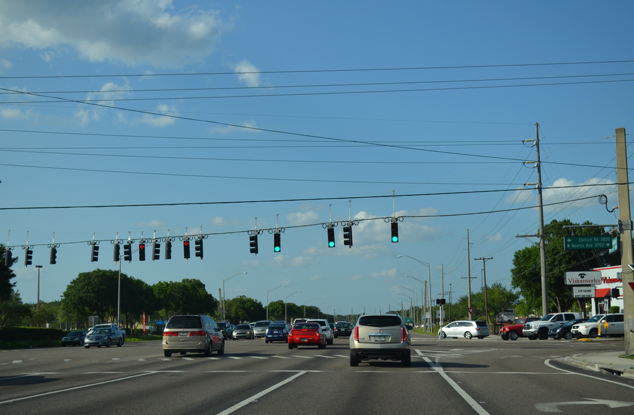
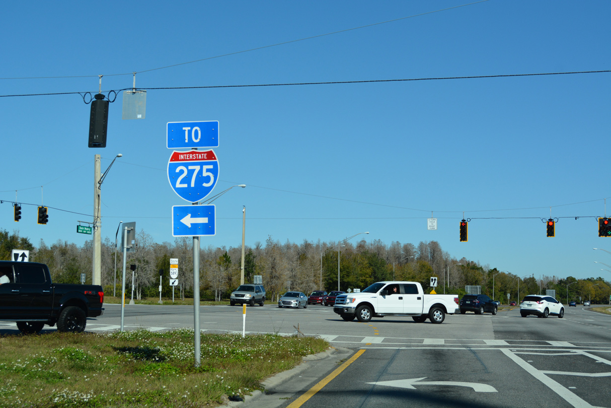
Bearss Avenue winds east as a busy commuter route to Lake Magdalene, north Tampa, where it meets Interstate 275 as State Road 678, and Bruce B. Downs Boulevard to North Tampa. Ehrlich Road west forms a slow moving arterial to Gunn Highway at Citrus Park.
09/08/23
A second shield for SR 597 north appears after Bearss Avenue, reflecting the former status of the east-west road as County Road 678.
09/08/23
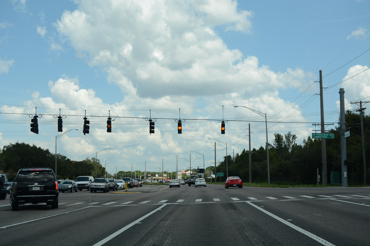
Zambito Road runs along the back side of adjacent North Pointe Shopping Center to tie into Dale Mabry Highway opposite Carrollwood Springs Boulevard west.
09/08/23
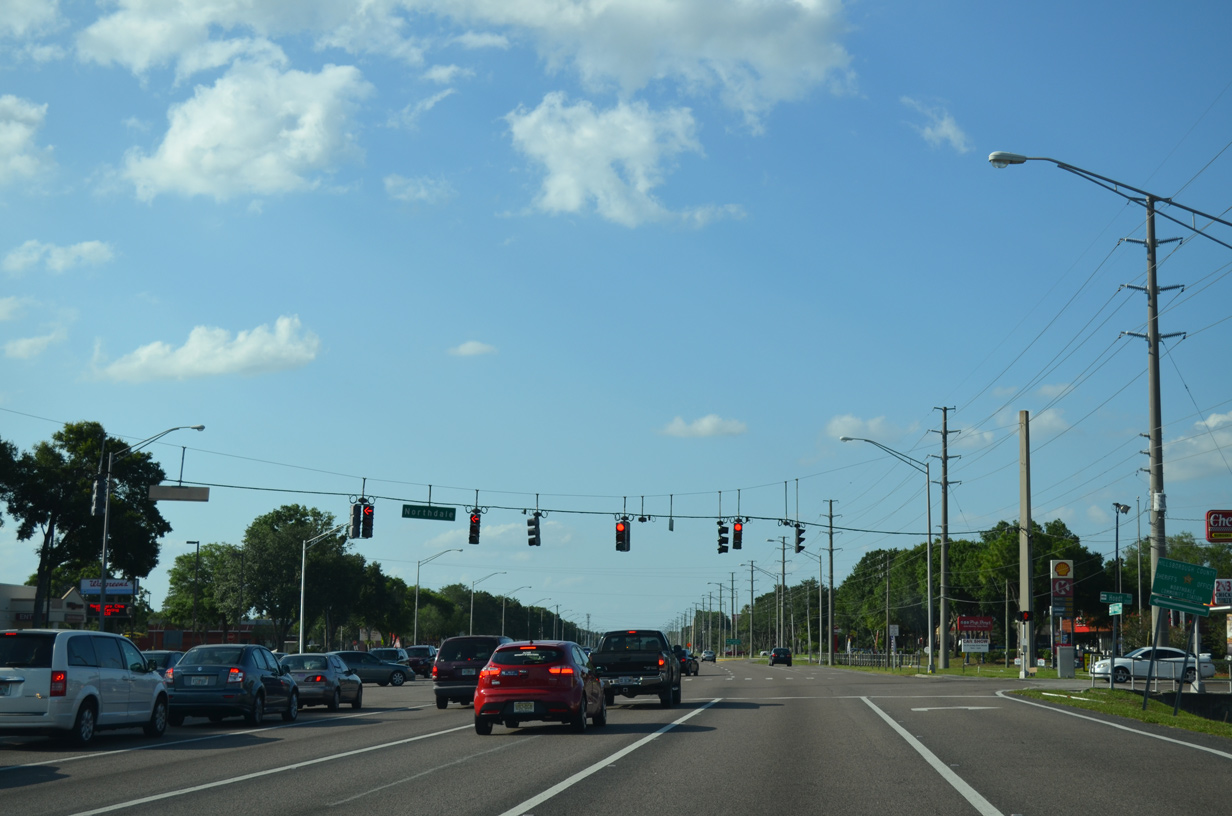
Northdale Boulevard follows as the main road into the 1970s developed Northdale community west of Dale Mabry Highway.
09/08/23
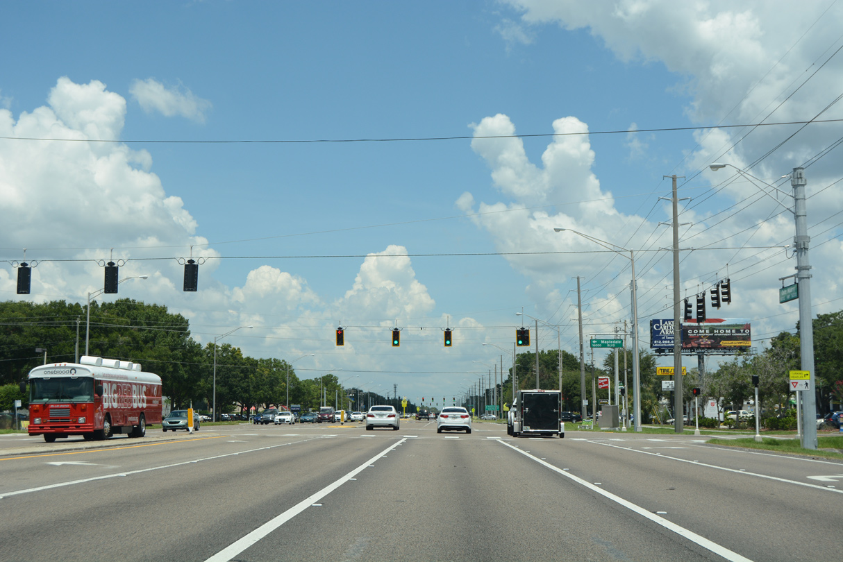
Mapledale Boulevard stems west from Dale Mabry Highway to Vivian Gaither High School and Northdale Boulevard from this traffic signal.
09/08/23

North Lakeview Drive loops east from SR 597 at Northgreen Avenue as the lone through road for the North Lakes development.
09/08/23
A sound wall abuts the east side of Dale Mabry Highway by North Lakes.
09/08/23
North Lake Drive returns to end at SR 597 north at the ensuing traffic light.
09/08/23
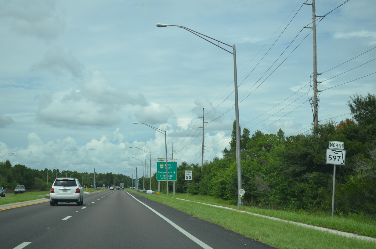
Trailblazers for the Veterans Expressway (SR 589) appear one mile ahead of Van Dyke Road (CR 685A) at Lutz. SR 597 passes along the east side of Lake County Park on this stretch.
09/08/23
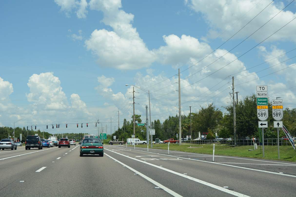
The Veterans Expressway (SR 568) ends directly at Dale Mabry Highway north of Van Dyke Road (CR 685A). However there is no access to the Suncoast Parkway northbound from that connection. Motorists instead must take CR 685A west to its interchange with SR 589 to head north into Pasco County.
09/08/23
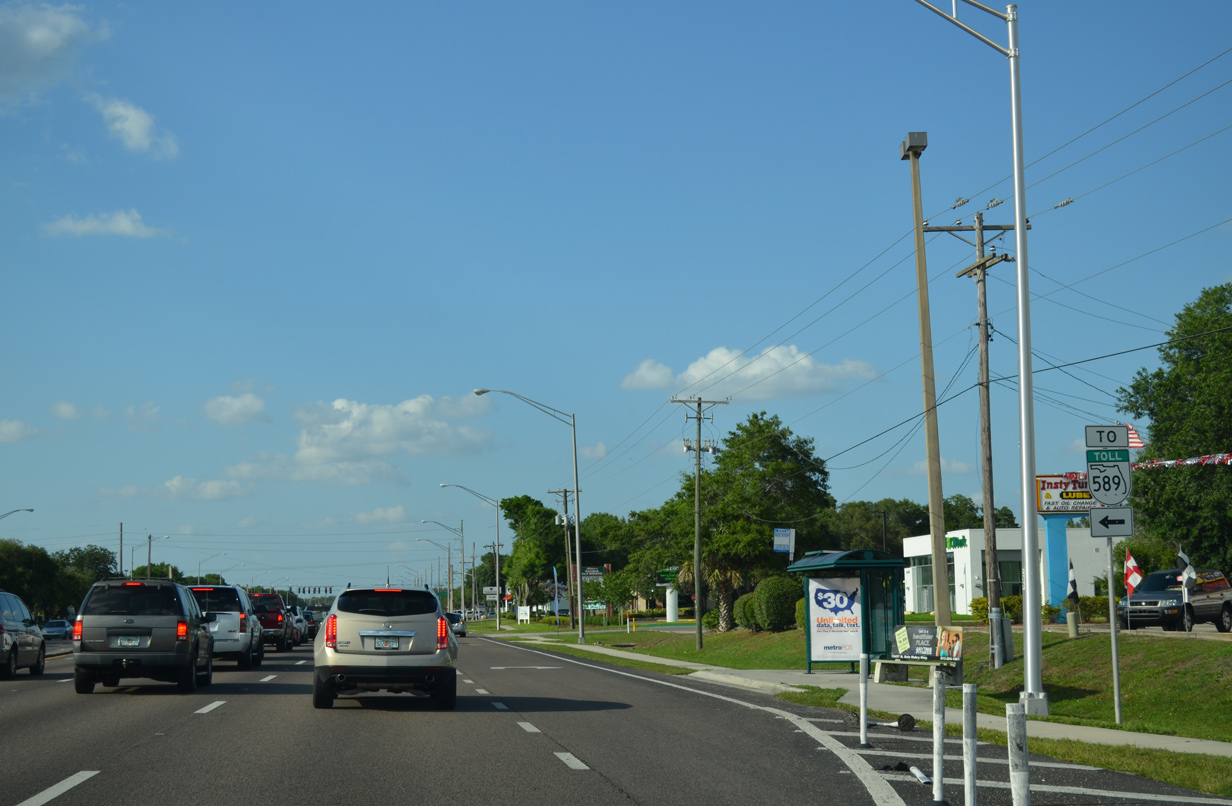
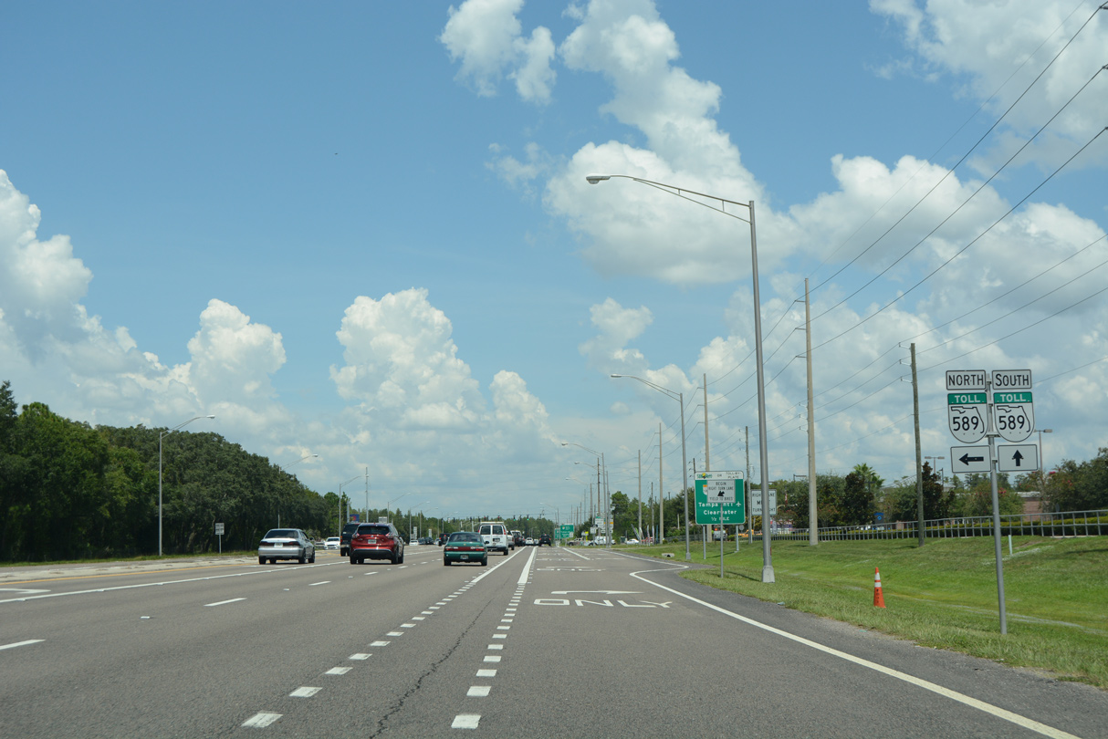
The SR 568 leg of the Veterans Expressway travels west from SR 597 in half mile directly to a wye interchange with SR 589 south.
09/08/23
Van Dyke Road originates at Simmons Road near Brant Lake to the east. Westward the county road meets the Suncoast Parkway in 2.8 miles and ends in 4.5 miles at Gunn Highway (CR 587) in Lake Fern.
09/08/23
SR 597 remained rural northward to the Veterans Expressway prior to the 2015 development of the Promenade at Lake Park along the east side of Dale Mabry Highway.
09/07/14
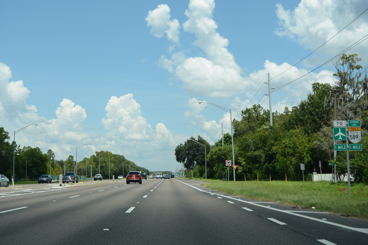
One quarter mile ahead of the left turn for the Veterans Expressway (SR 568) west.
01/14/22
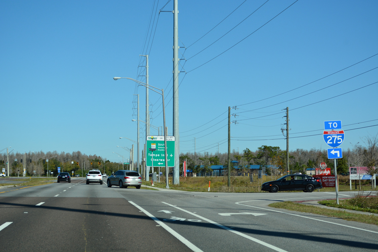
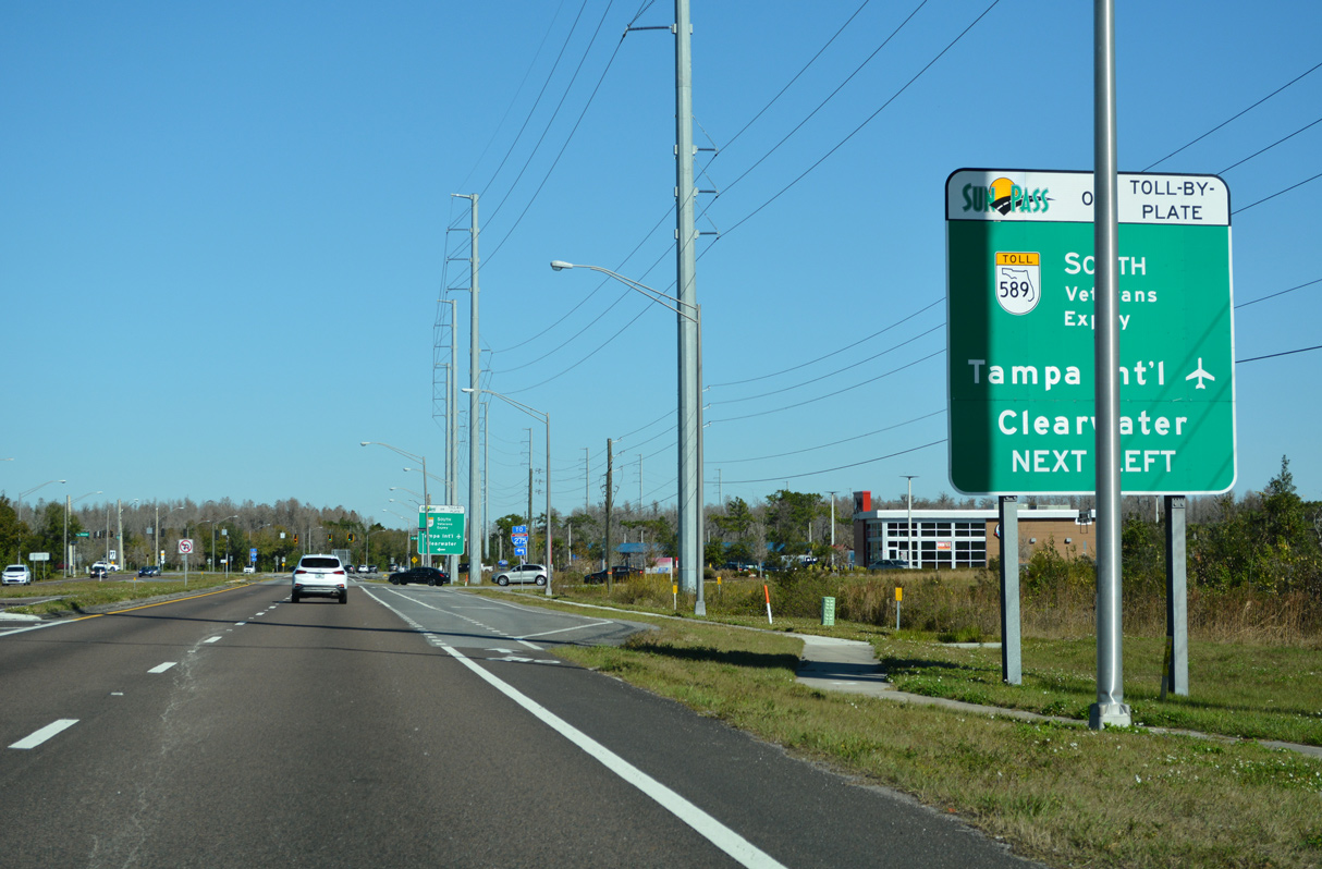
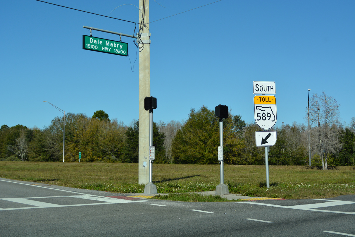
Turn lanes were added for the Promenade at Lake Park in 2016 just ahead of the Dale Mabry Highway intersection with the Veterans Expressway. SR 568 west to SR 589 south leads toward I-275 at Westshore in Tampa.
01/14/22
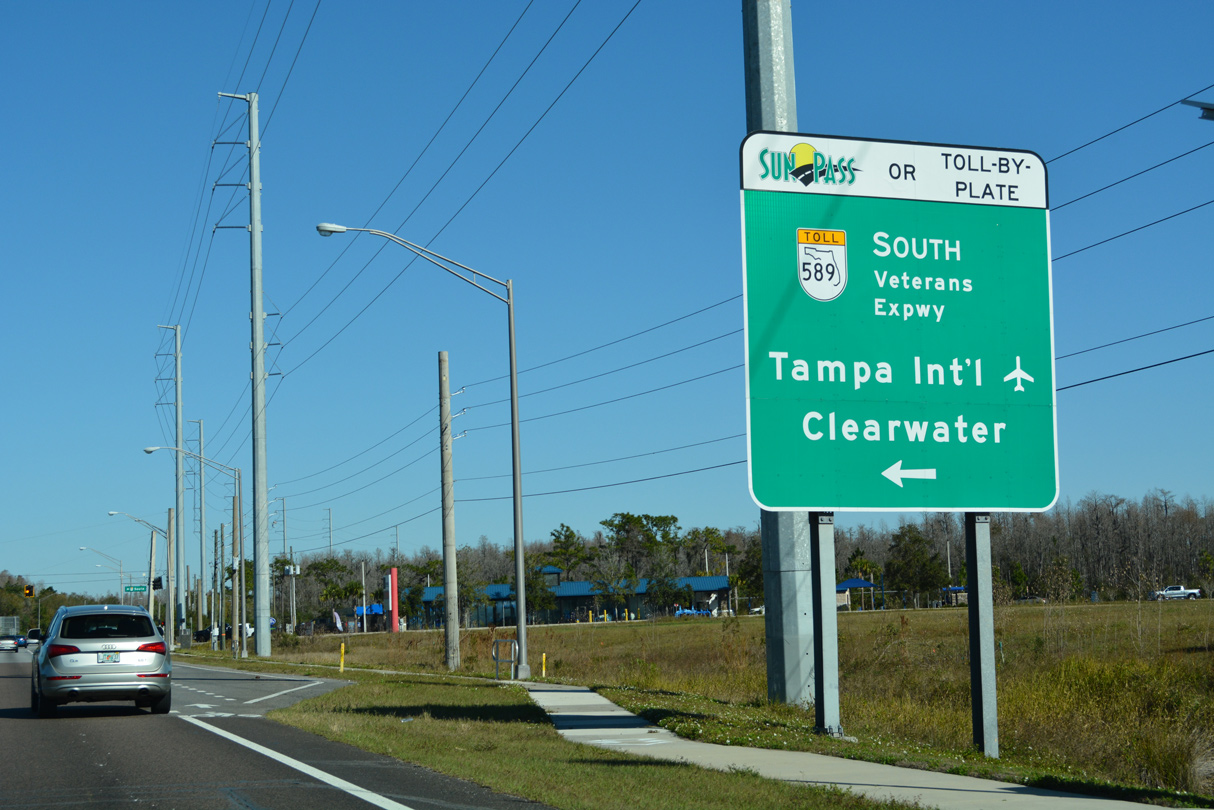
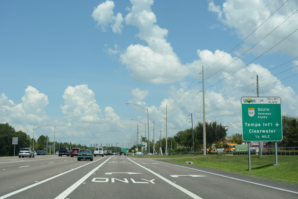
SR 568 was designated in 2001 when the Suncoast Parkway opened as an extension of SR 589 north from Lake Fern to Brooksville and Hernando County. The 3.02 mile long route default onto SR 589 south back toward Tampa International Airport (TPA) and SR 60 west to Clearwater.
01/14/22
With the addition of Atmore Grove Drive, the intersection with SR 568 was reconfigured in 2015-16. Atmore Grove Drive is main entrance to the Promenade at Lake Park.
01/14/22
Prior to development along the east side of SR 597, a stub end was built into the Veterans Expressway at Dale Mabry Highway. The partially built diamond interchange would have accommodated the unconstructed Lutz Expressway from the east.
01/14/22
Dale Mabry Highway turns to the northeast from SR 568 by the Cheval golf course community through north Lutz.
08/23/16
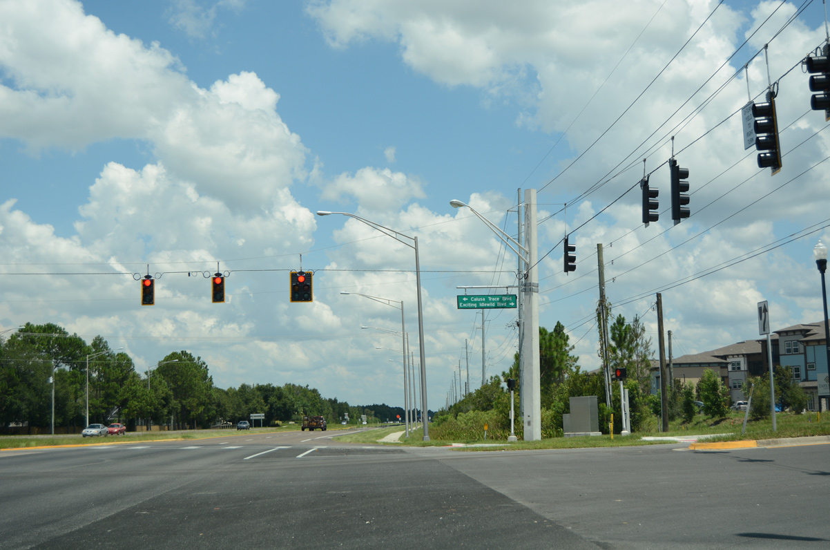
Traffic lights were added to the intersection of SR 597 north at Calusa Trace Boulevard west and Exciting Idlewild Boulevard east to accommodate increased traffic from a new apartment complex and assisted living facility built to the east in 2016.
08/23/16
Completed by August 11, 2021, a $1.94 million project made safety improvements and added traffic lights along SR 597 at the intersection with Sunlake Boulevard.1 Sunlake Boulevard is a low speed residential street extending north into southern Pasco County.
09/08/21
Lutz Lake Fern Road (former CR 582) heads west from SR 597 to Villarosa, Brooker Creek Preserve and CR 587 (Gunn Highway) at Keystone.
CR 582 once extended to the Pinellas County line, where CR 582 remains in place to Tarpon Springs. The road travels locally along a stair stepped route east from Dale Mabry Highway to Oscar Cooler Sports Complex and U.S. 41 at Lutz Branch Library.
09/08/21
The final reassurance marker for SR 597 stands north of Lutz Lake Fern Road (old CR 582). This stretch of Dale Mabry Highway remains rural.
09/10/15
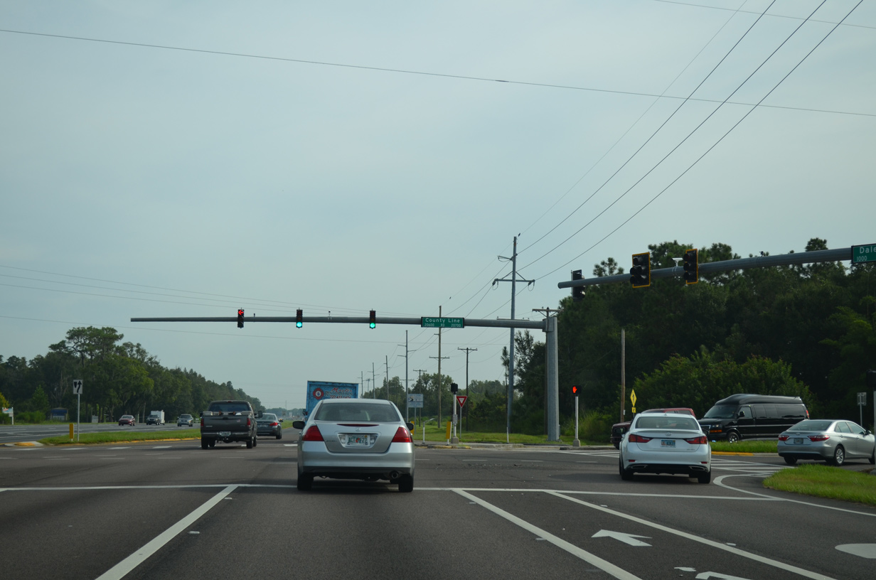
County Line Road connects Dale Mabry Highway with U.S. 41 just to the east at Willow Bend Parkway. The road spurs west to a handful of rural residential streets.
09/10/15
Entering Pasco County, SR 597 advances into unincorporated Land O' Lakes.
09/10/15
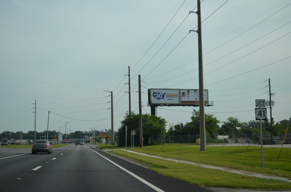
A pair of big box stores line the east side of Dale Mabry Highway to the apex with U.S. 41.
09/10/15
SR 597 defaults onto U.S. 41 north through Land O' Lakes while a single turn lane provides return access along U.S. 41 south back into Lutz. No shields are posted for the end of SR 597.
09/10/15
References:
- SR 597 (Dale Mabry Highway) Intersection Improvements at Sunlake Boulevard - Project ID: 254677-4-30-92. Florida Department of Transportation (FDOT), project web page.
Photo Credits:
- Alex Nitzman: 09/10/15, 08/23/16, 09/08/21, 02/27/22
- ABRoads: 01/14/22, 09/08/23
- AARoads: 09/07/14
Connect with:
Page Updated Monday February 28, 2022.