
State Road 597 / Dale Mabry Highway - South

 South
South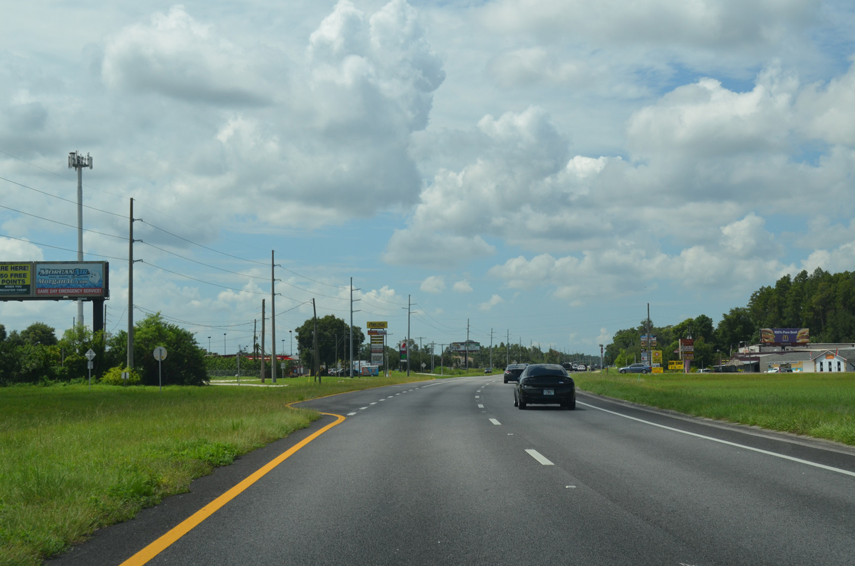
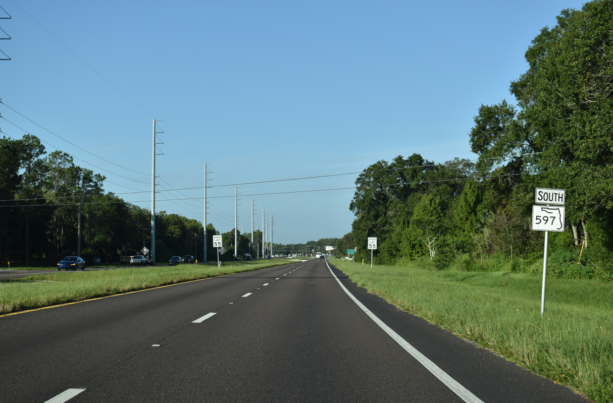
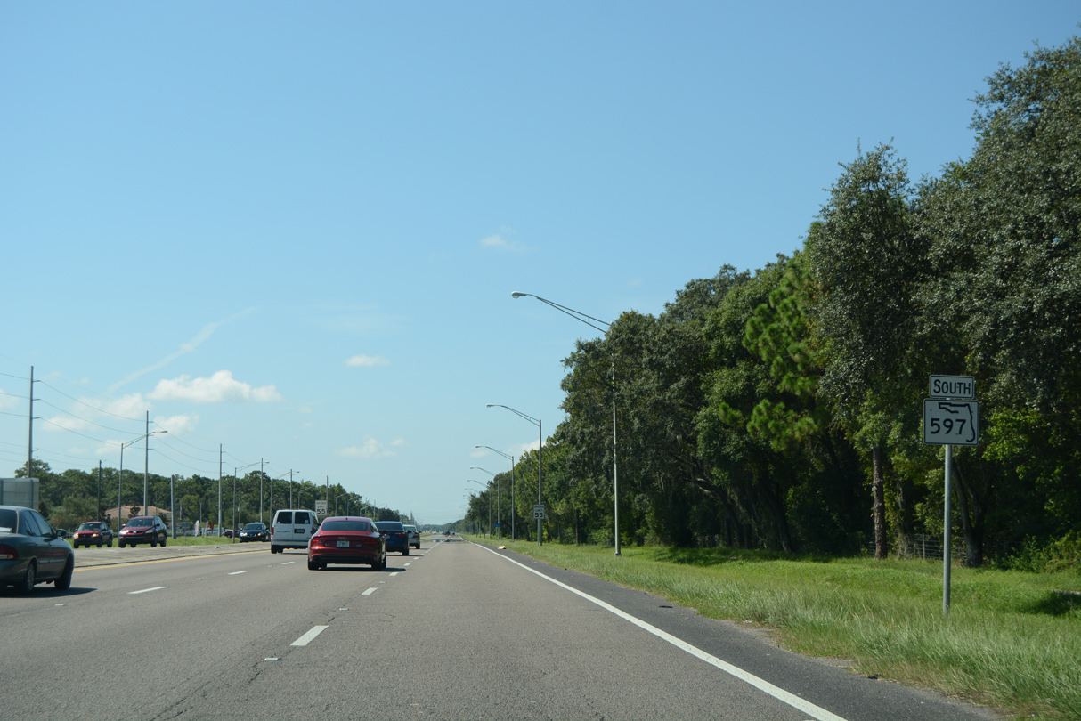
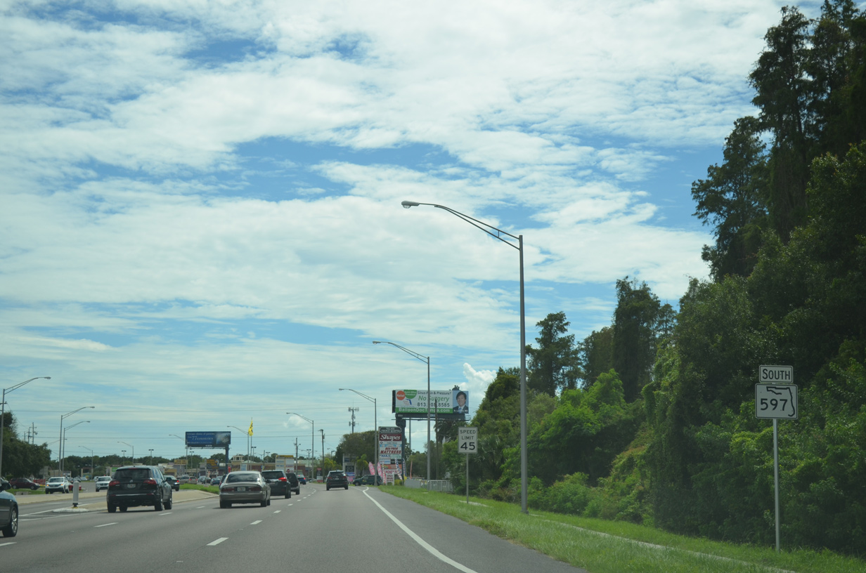
Dale Mabry Highway branches southwest from U.S. 41 at a wye intersection east of Lake Como. A reassurance marker is missing from the southbound beginning of SR 597.
08/15/15
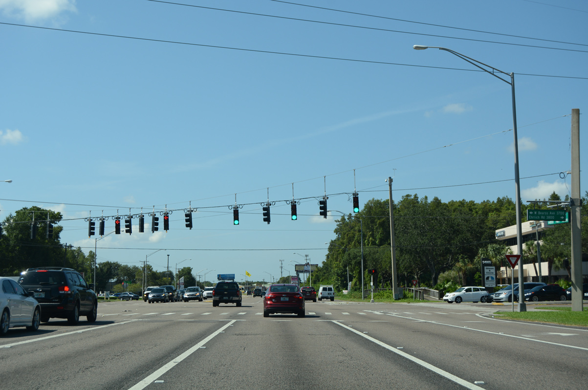
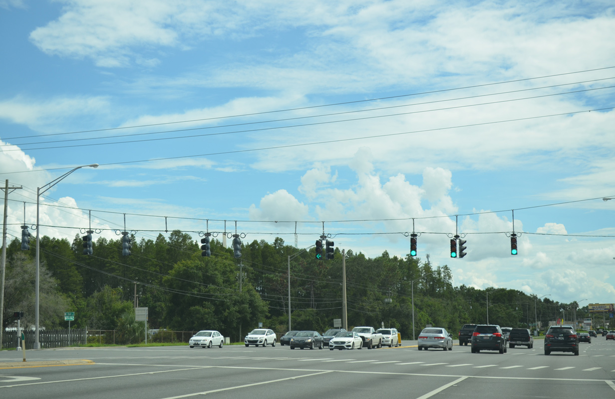
The intersection with Walmart Way was expanded to include access with SR 597 (Dale Mabry Highway) southbound. Traffic lights were activated here on February 24, 2020.
10/17/21
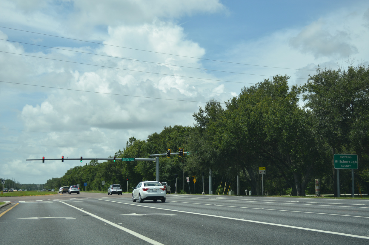
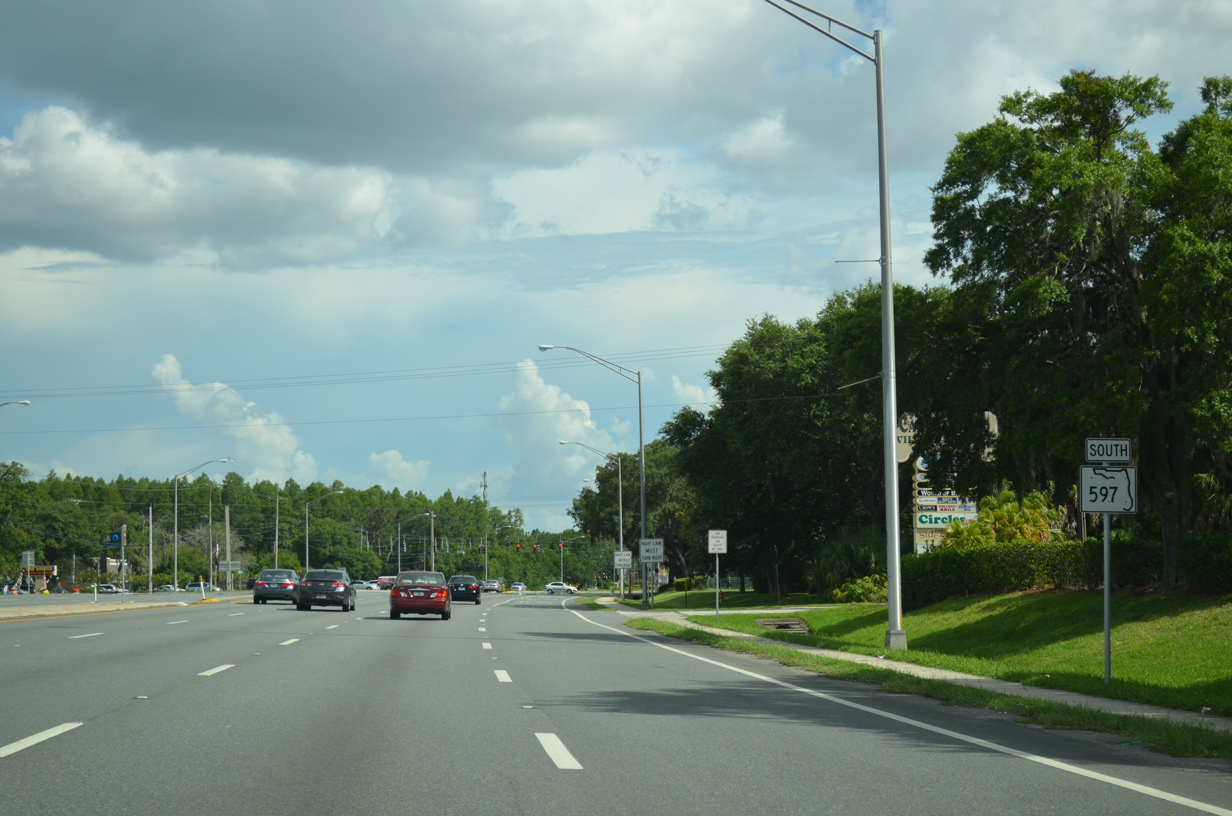
County Line Road intersects SR 597 south at the Hillsborough County line. The road spurs west locally to Lake Holly and Moss Lake while providing a through route east to U.S. 41 at Willow Bend Parkway.
08/13/18
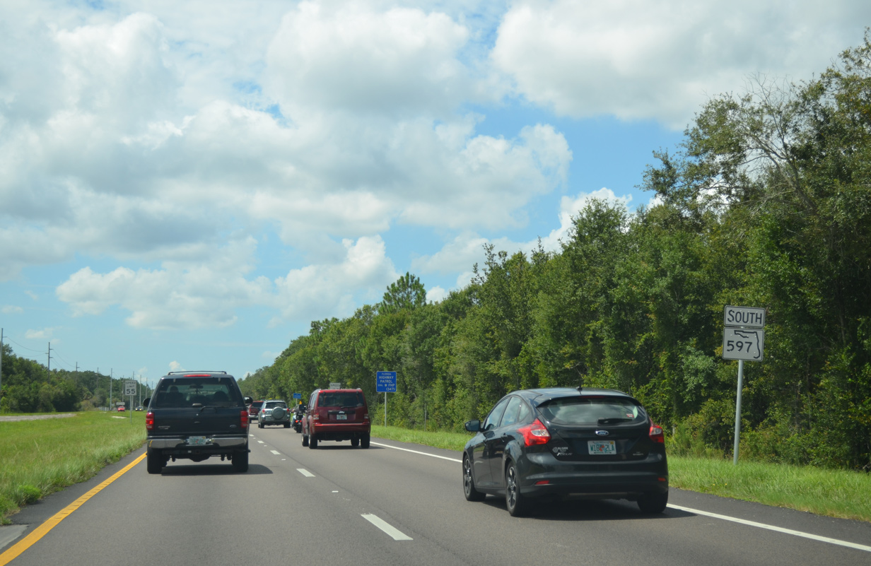
The first shield for SR 597 appears after County Line Road along Dale Mabry Highway southbound.
08/15/15
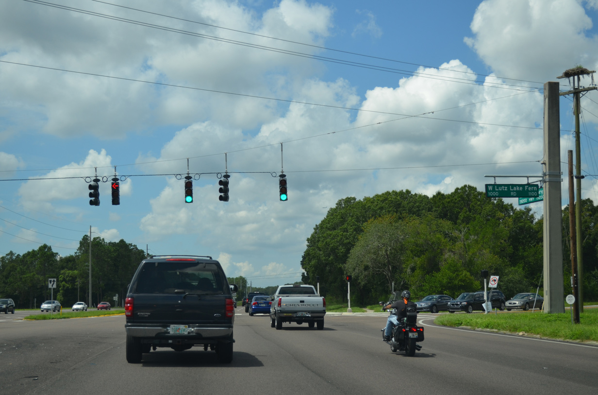
Dale Mabry Highway remains rural to the traffic light with Lutz Lake Fern Road. Formerly CR 582, the road east connects with U.S. 41 beyond a stair stepped route around Oscar Cooler Sports Complex and Hobbs Lake. Westward, old CR 582 runs across northern areas of Hillsborough County to the Villarosa development, Lake Fern, Keystone and Pinellas County where CR 582 is posted to Tarpon Springs.
08/15/15
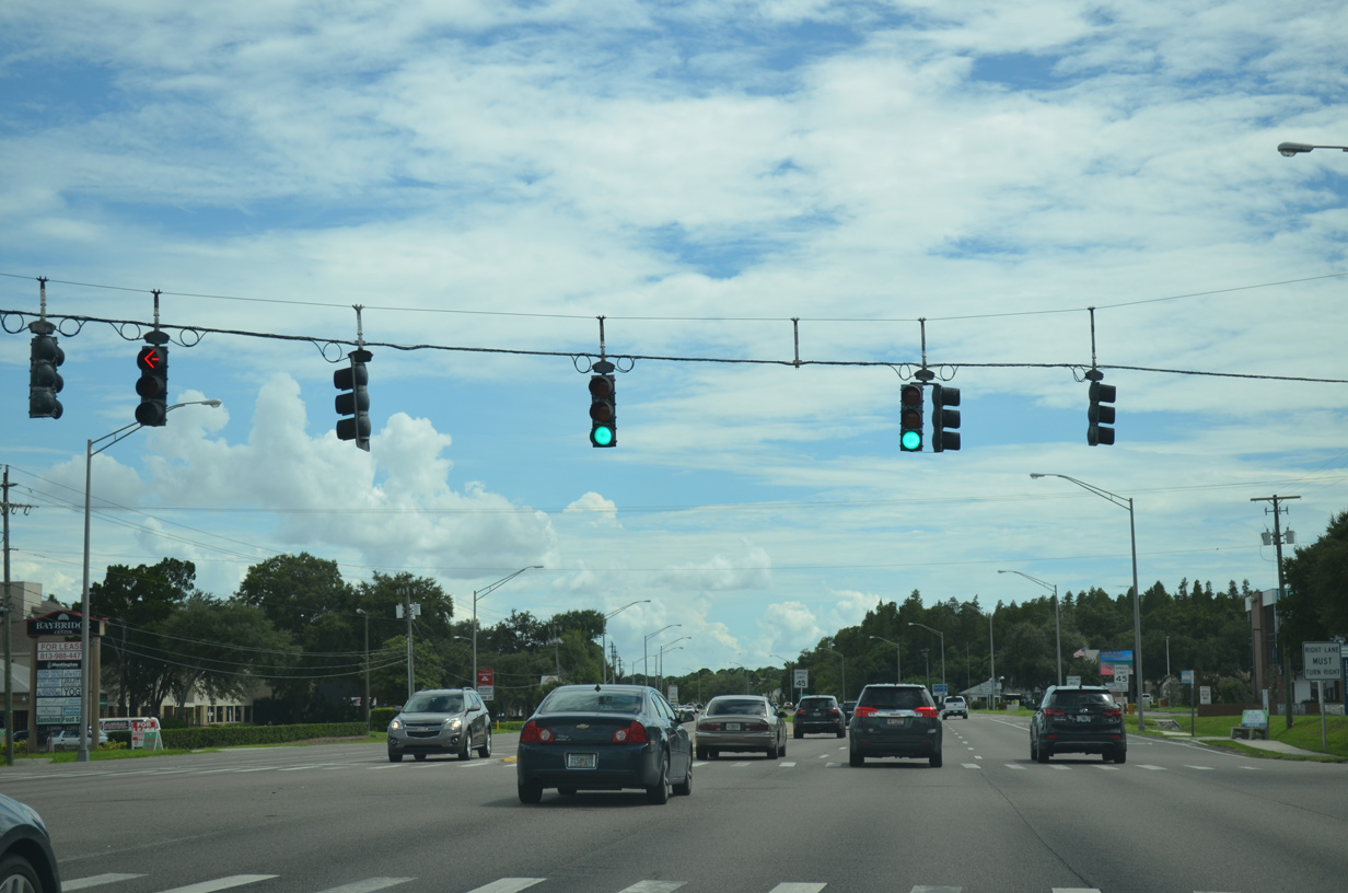
SR 597 turns more westerly from Lutz Lake Fern Road between Lake Allen and Thomas Lake.
09/08/21
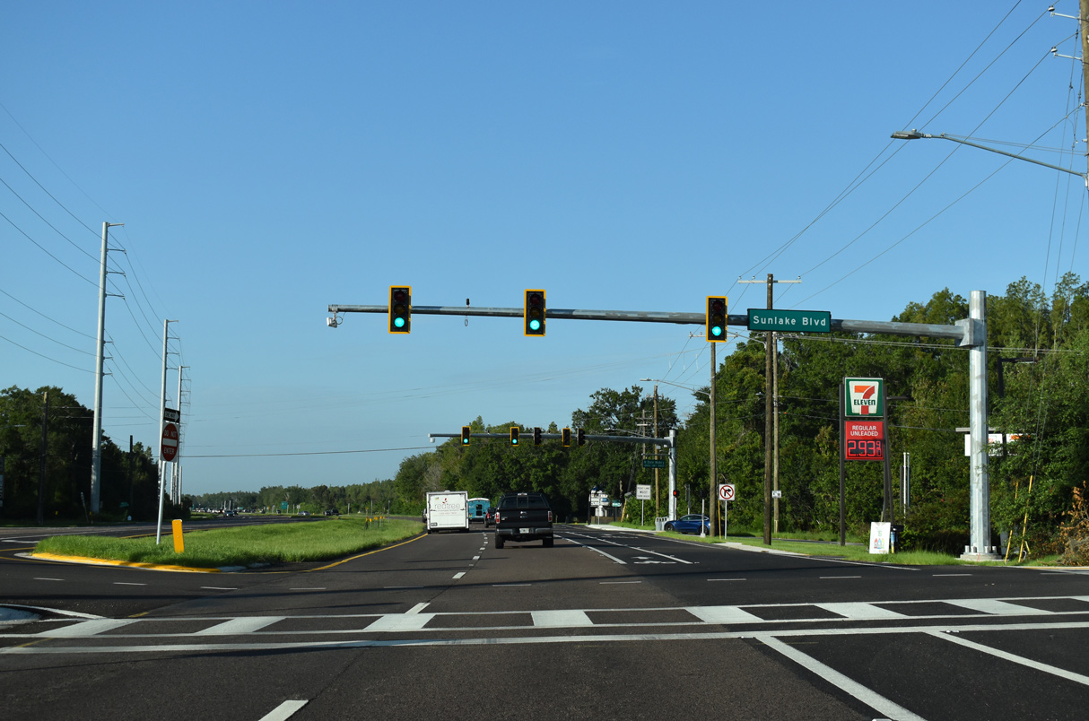
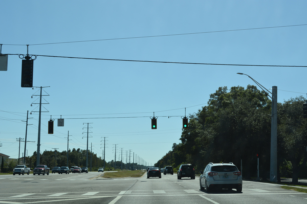
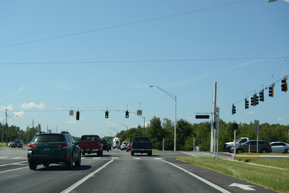
Traffic signals were installed along SR 597 south at Sunlake Boulevard as part of a $1.94 million safety improvement project. The signals commenced operation by July 21 and overall work was completed on August 11, 2021.1
09/08/21
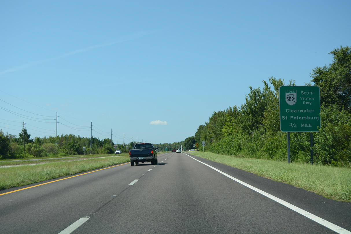
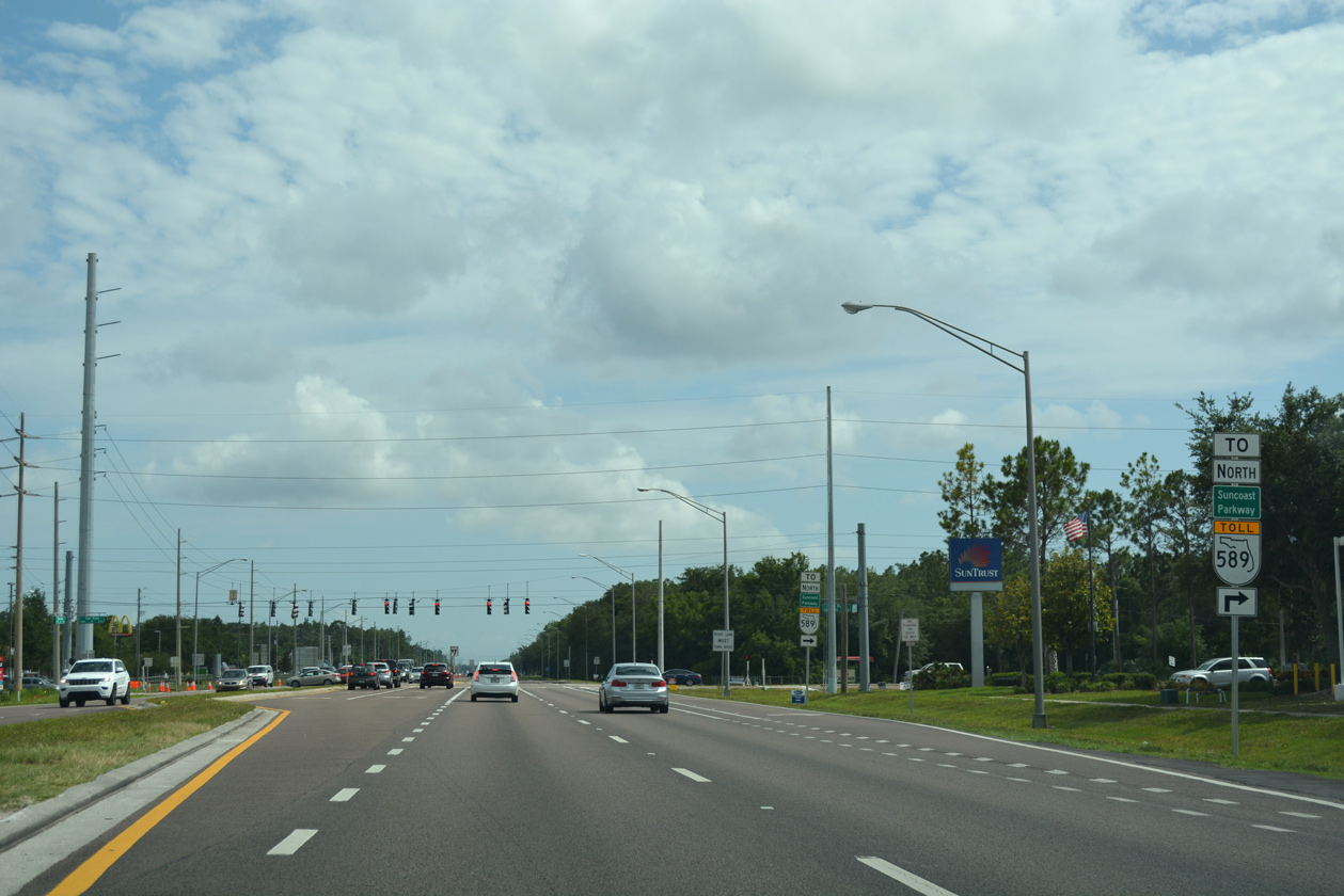
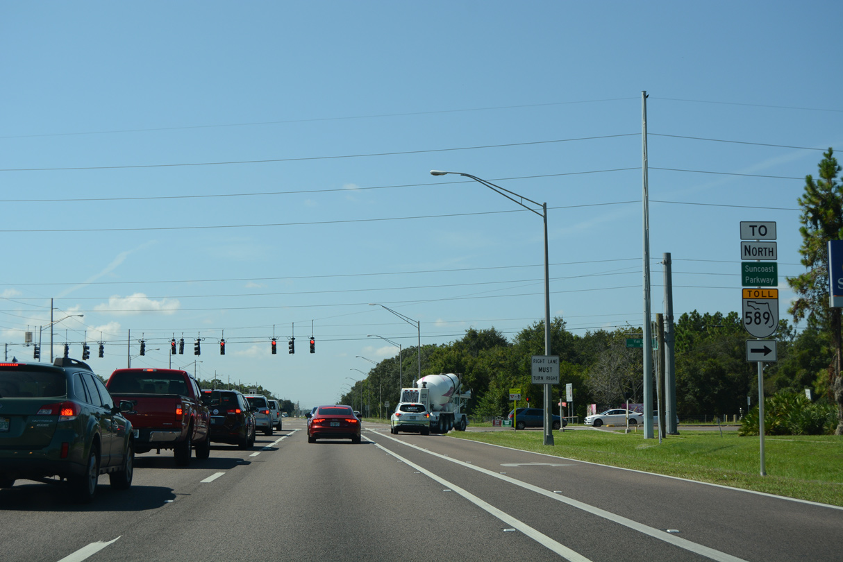
The first guide sign for the Veterans Expressway precedes Calusa Trace Boulevard along Dale Mabry Highway south. Designated as SR 568, the eastern leg of the expressway links SR 597 with SR 589 leading south into Tampa.
08/23/16
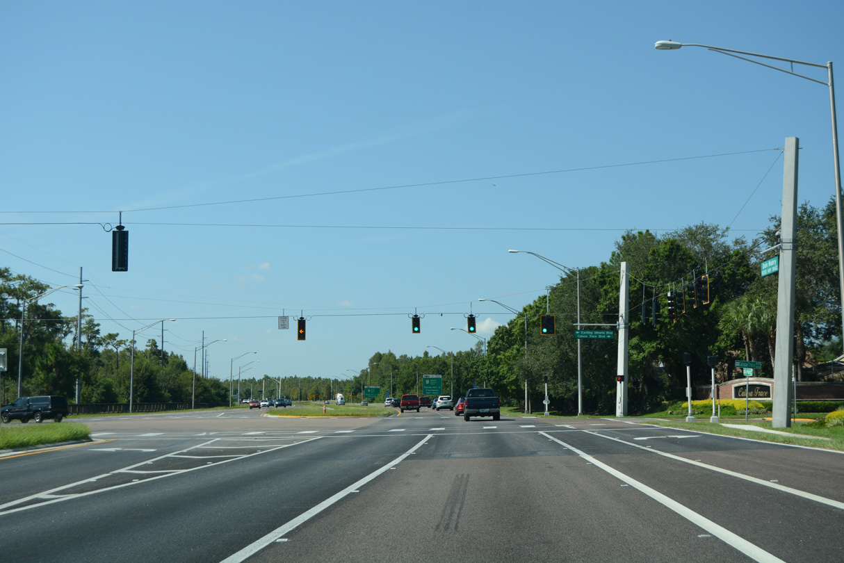
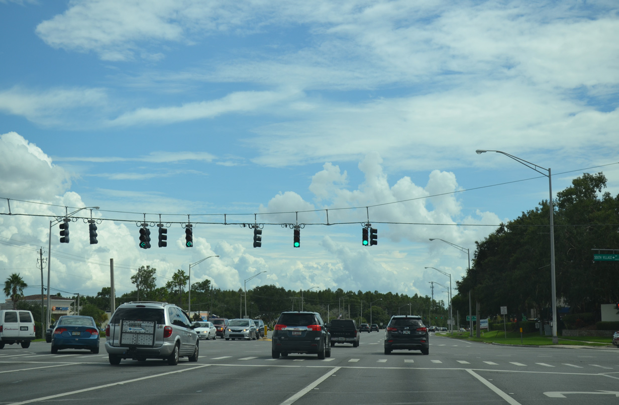
Development of the Promenade at Lake Park along land east of SR 597 resulted in the installation of traffic lights at Calusa Trace Boulevard west and Exciting Idlewild Boulevard east.
08/23/16
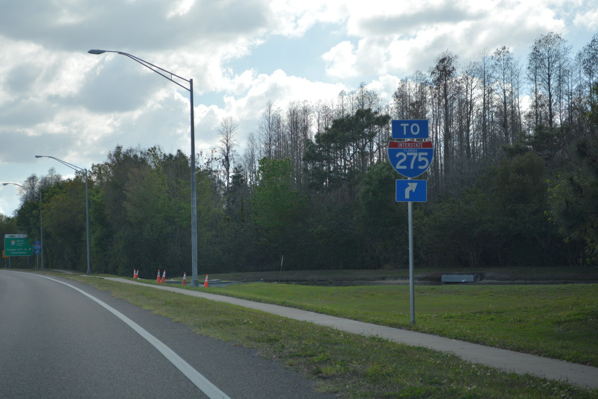
State named trailblazers for Interstate 275 were installed at the various interchanges with the Veterans Expressway starting in Spring 2015.
02/27/22
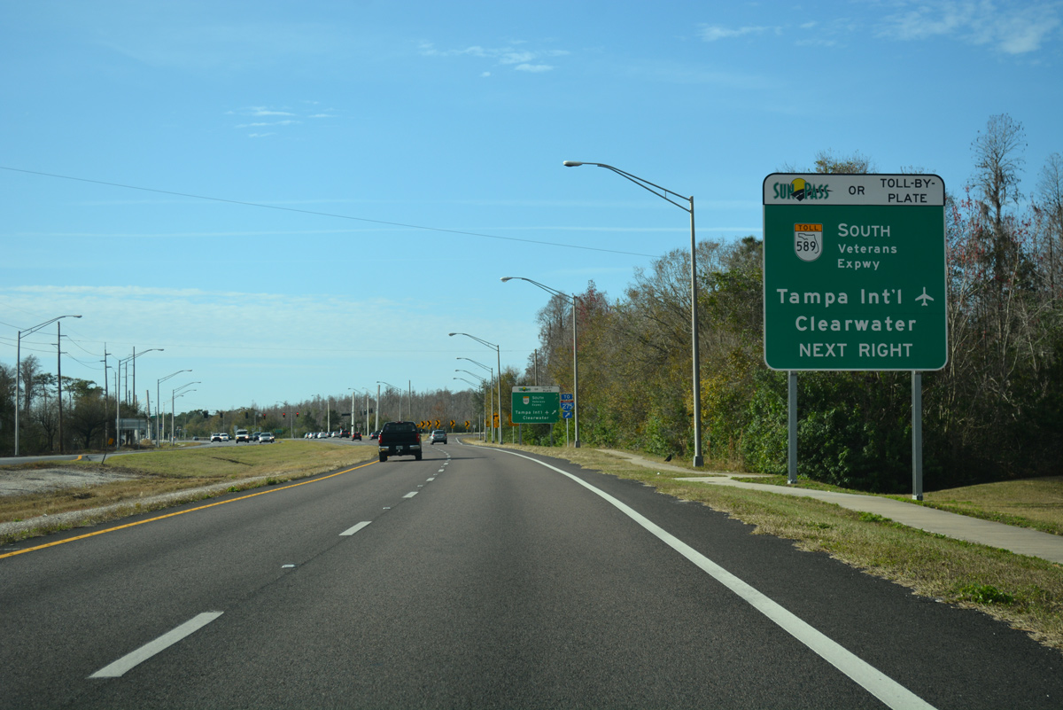
Changes made to the Veterans Expressway as part of 2014-16 widening project southward through Hillsborough County eliminated cash-based toll transactions. All tolls are collected via Sunpass transponders or by toll-by-plate where motorists receive a bill via the mail. As such all signs for SR 589 were changed out to reflect the electronic only tolling options.
02/02/18
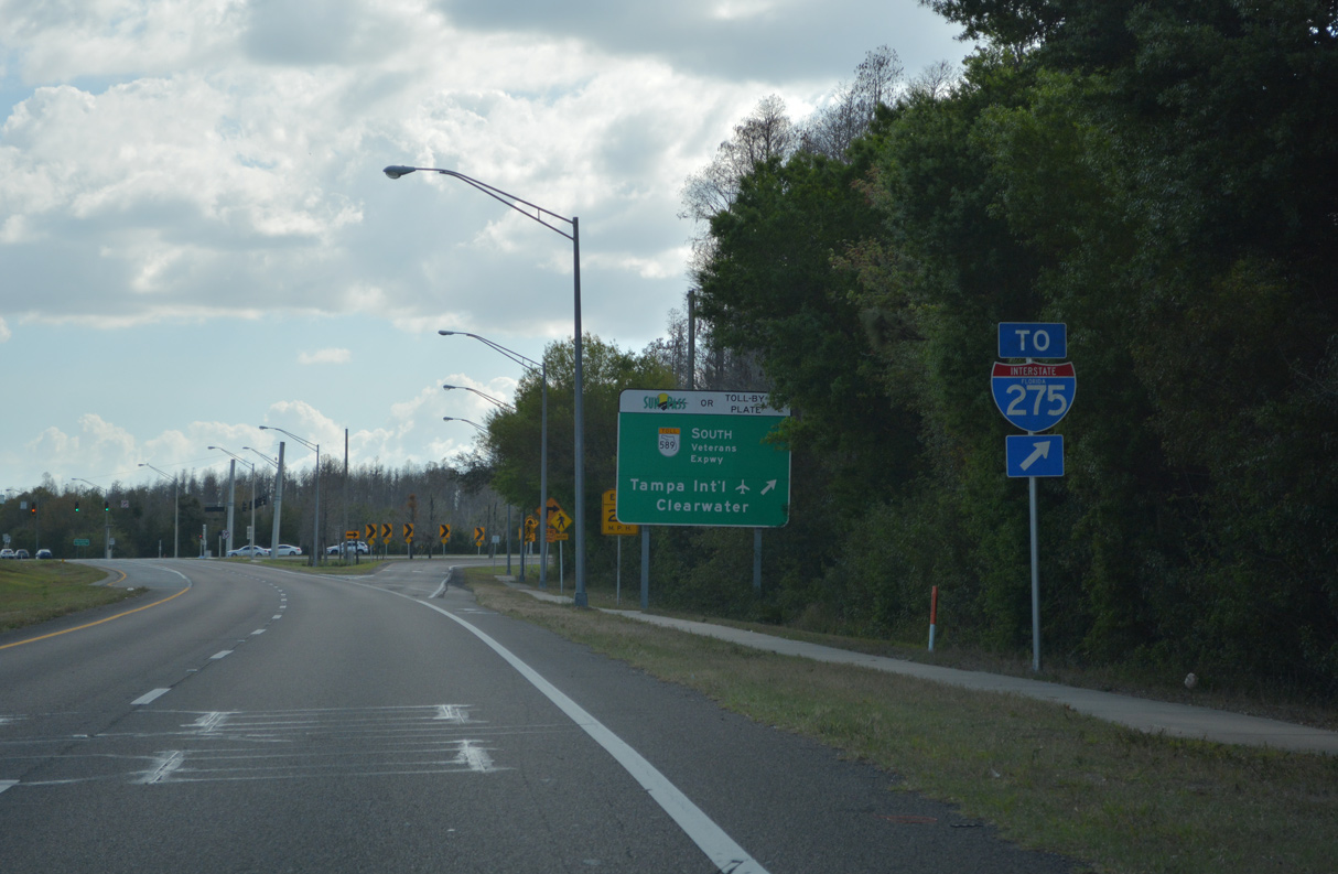
A second trailblazer for Interstate 275 replaced a previous assembly posted next to the adjacent guide sign for SR 589. The Veterans Expressway in conjunction with Memorial Highway (SR 60) lead motorists 17 miles south to I-275 at Westshore in Tampa.
02/27/22
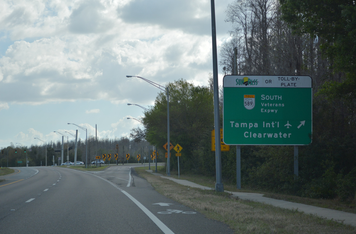
The entrance ramp departs from SR 597 (Dale Mabry Highway) south to the Veterans Expressway west ahead of a signalized intersection with SR 568 east and Atmore Grove Drive. There are no exits on SR 568 west to SR 589 south.
02/27/22
The junction between Dale Mabry Highway and Veterans Expressway was reconfigured from a half diamond interchange to a conventional intersection in 2016. This accommodated Atmore Grove Drive, the main entrance to the Promenade at Lake Park development. Construction partially removed roadway stubs on SR 568 left over from when the Lutz Expressway was planned to extend the route east toward I-275.
08/23/16
A reassurance marker for SR 597 south stands after the east end of SR 568. The left turn bay was added here in 2016 for the aforementioned housing development.
08/23/16
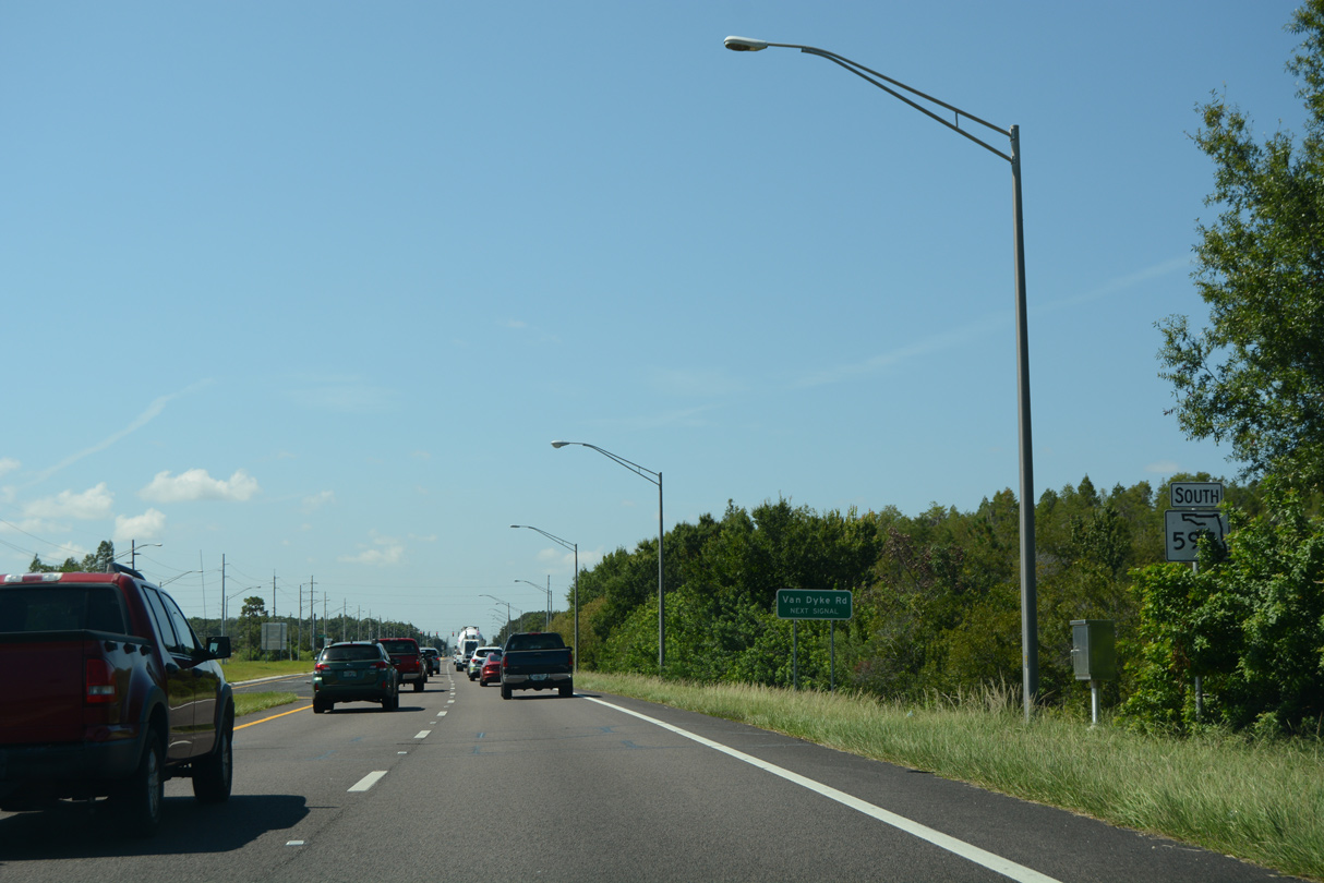
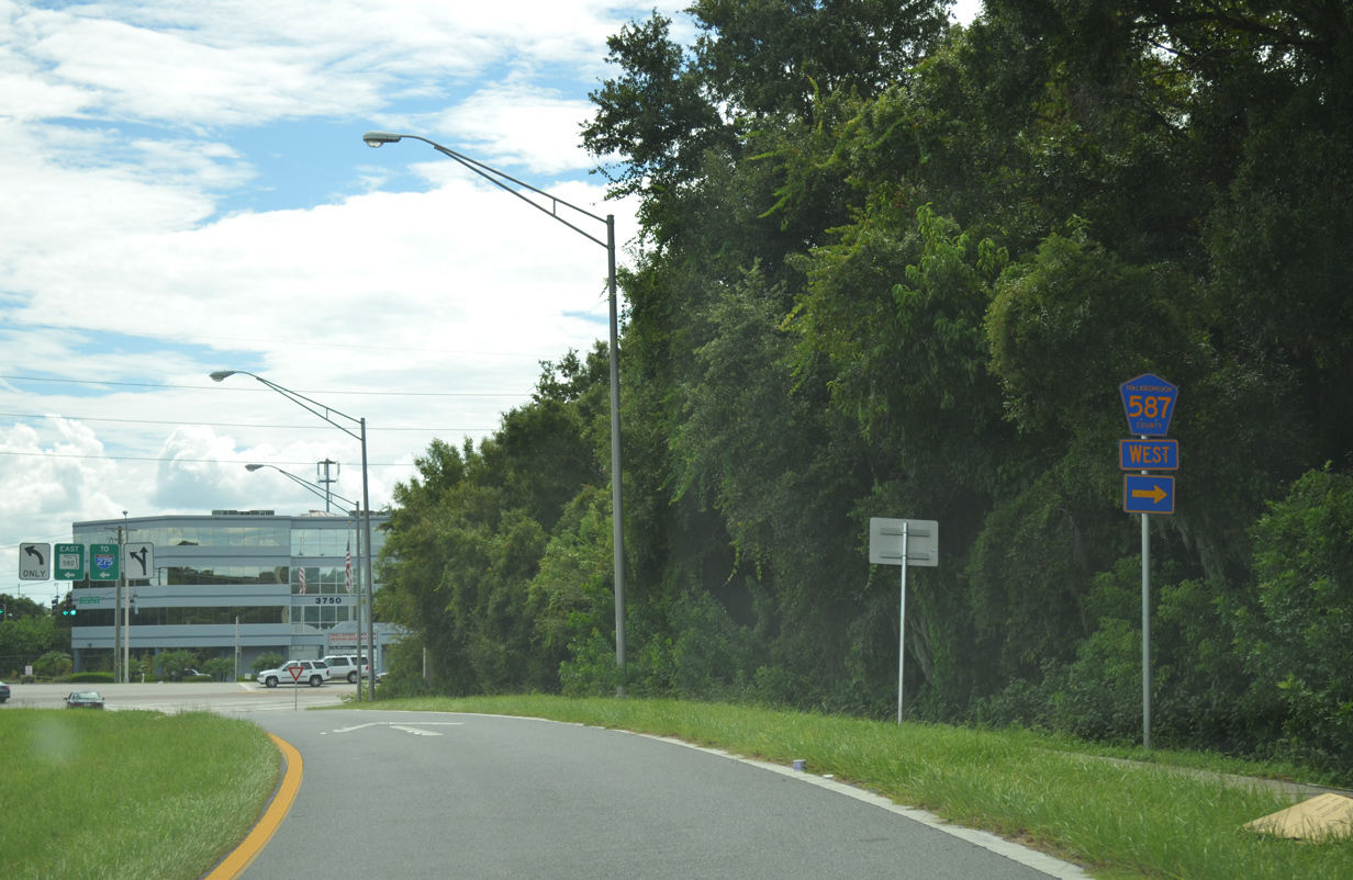
Approaching Van Dyke Road (CR 685A) on SR 597 (Dale Mabry Highway) south. Van Dyke Road leads west from adjacent Northgate Square Shopping Center to parallel SR 568 to the Suncoast Parkway. There is no access to SR 589 north toward Brooksville from SR 568 west, so CR 685A west provides the connection.
05/03/19
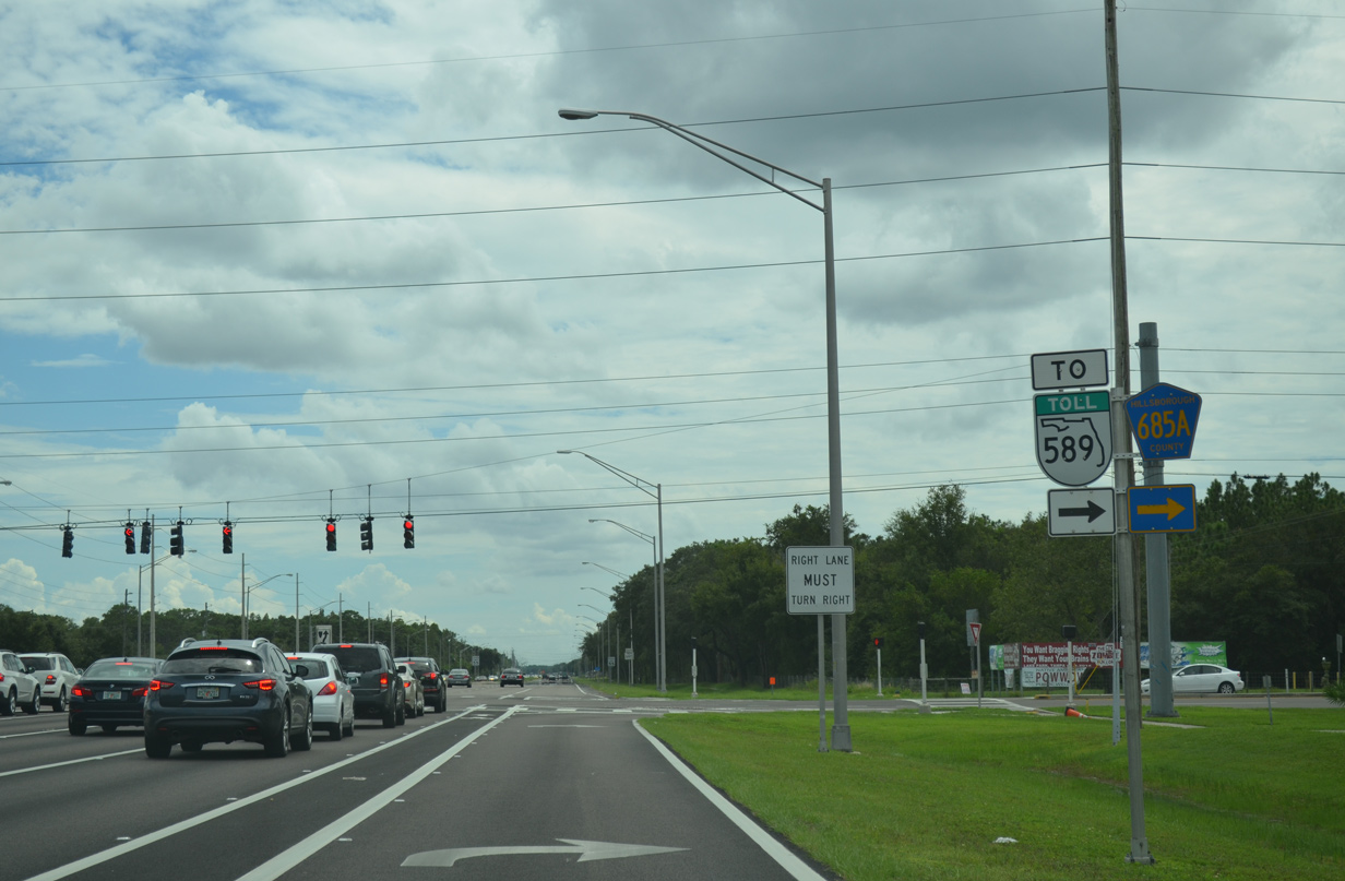
Installation of SR 589 shields with yellow toll banners in 2015 claimed the lone CR 685A shield posted on Dale Mabry Highway.
09/07/14
Hillsborough County Road 685A lines all of Van Dyke Road from Simons Road near Brant Lake to the east and west by Lake Carlton to the Suncoast Parkway (Exit 14) and the end at Gunn Highway (CR 587) by Keystone Lake.
08/23/16
SR 597 (Dale Mabry Highway) continues south from County Road 685A by Lake County Park.
08/23/16
North Lakeview Drive circles east from this traffic light as the main route to a number of subdivisions associated with the North Lakes development.
08/23/16
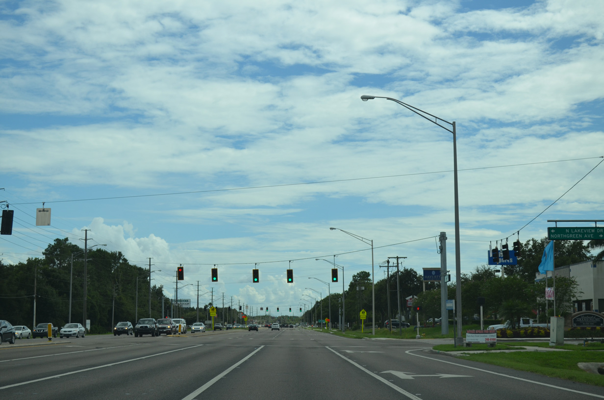
North Lakeview Drive returns to Dale Mabry Highway at the subsequent traffic light opposite Northgreen Avenue west into an apartment complex.
09/07/14
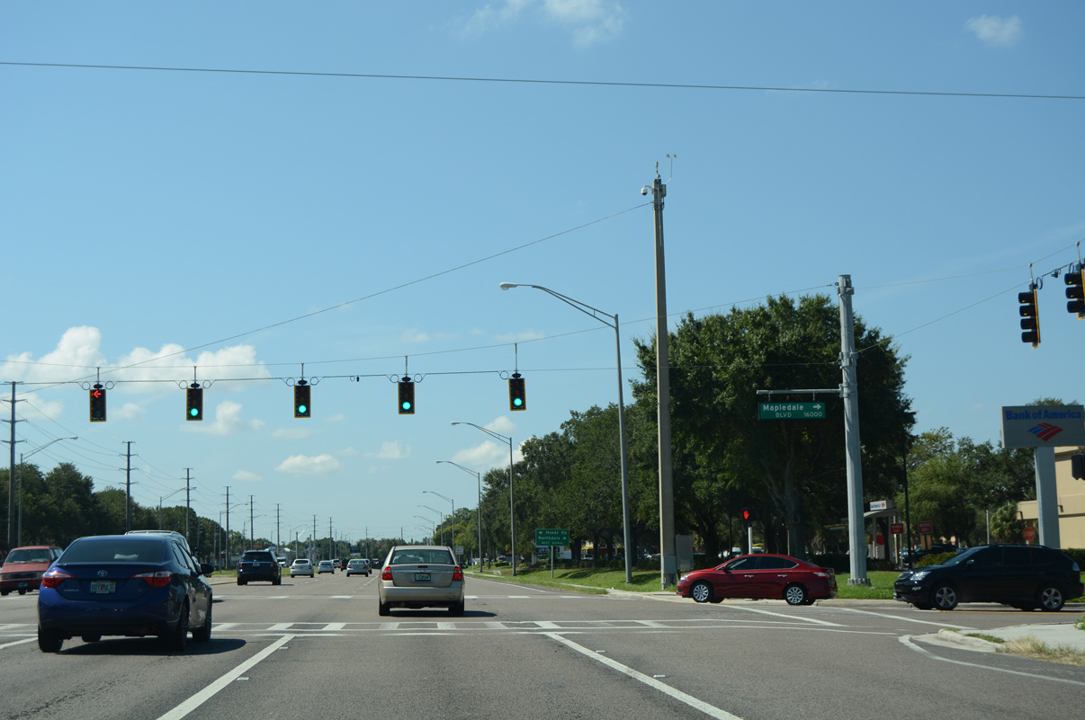
Built in 1984 as Northdale grew in population,3 Vivian Gaither High School resides on the west side of SR 597 between Northgreen Avenue and Mapledale Boulevard. Mapledale Boulevard provides both access to the school and a connector to Northdale Boulevard.
08/23/16
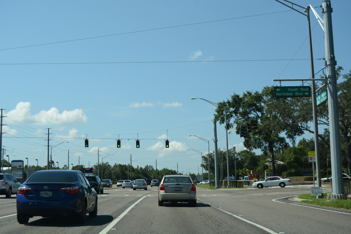
Northdale Boulevard comprises a multi-lane boulevard west from Dale Mabry Highway to the Northdale community. Northdale was developed in the 1970s on a 1,300 acre site that was previously home to a dairy farm and cattle ranch. The Northdale Golf Course opened in 1979, with population growth continuing through the 1980s.3
08/23/16
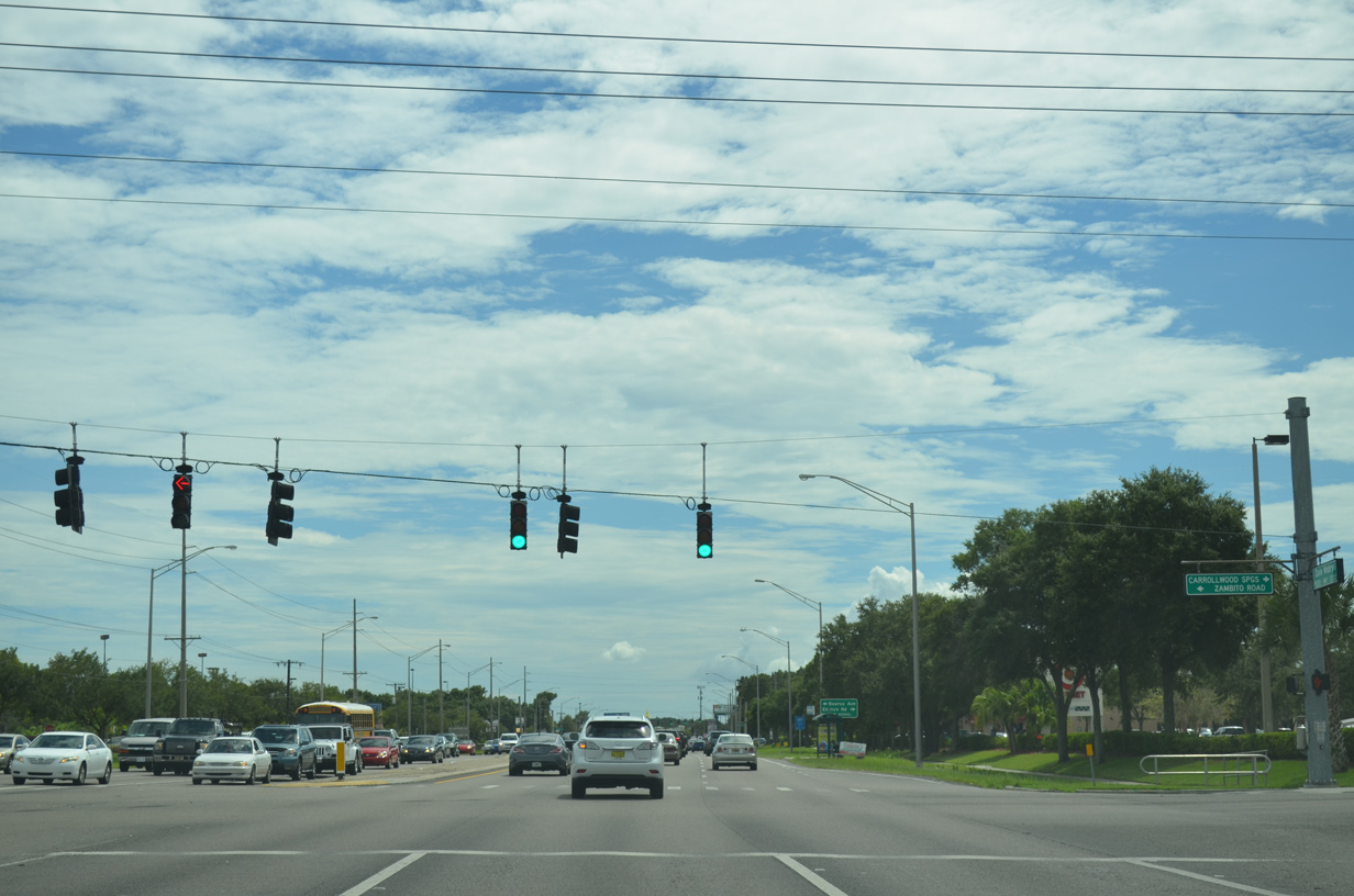
Carrollwood Springs Boulevard loops west from SR 597 (Dale Mabry Highway) to The Arbors community and Ehrlich Road. Zambito Road ties into the intersection from the east as a back route to Bearss Avenue.
09/07/14
Ehrlich Road travels west as the main arterial between Northdale and Carrollwood en route to the Veterans Expressway (SR 589) and Citrus Park. Bearss Avenue extends east as a multi-lane boulevard to Lake Magdalene, Interstate 275 and Bruce B. Downs Boulevard at New Tampa.
08/23/16
Bearss Avenue east from SR 597 was formerly signed as County Road 678. A remnant of that status is this reassurance marker posted for SR 597 south after the intersection.
09/07/14
North Village Drive winds southeast from South Village Drive through the Carrollwood Village golf course community to intersect Dale Mabry highway across from Handy Road. Handy Road links SR 597 with the eastern section of Ehrlich Road by Bay Lake.
09/07/14
South Village Drive constitutes a tree lined boulevard wrapping around the Carrollwood Village community from Ehrlich Road to SR 597 (Dale Mabry Highway) at Fletcher Avenue. Fletcher Avenue, partly unsigned County Road 582A, forms an important east-west route across Carrollwood to north Tampa and the USF campus.
04/23/21
The last southbound shield assembly for SR 597 stands beyond Fletcher Avenue.
06/26/15
Stall Road links Dale Mabry Highway with Orange Grove Drive by Lake Ellen to the east and south Carrollwood Village to the west.
09/07/14
Hudson Lane provides a second link to parallel Orange Grove Drive through Carrollwood at the next southbound signal.
09/07/14
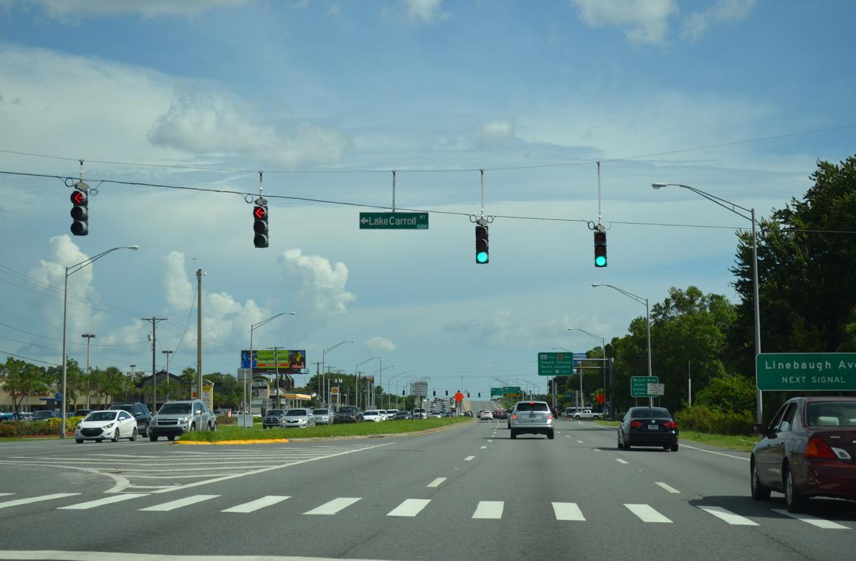
Lake Carroll Way angles southwest from Lake Carroll and Orange Grove Drive to intersect Dale Mabry Highway by Carrollwood Center shopping plaza.
06/26/15
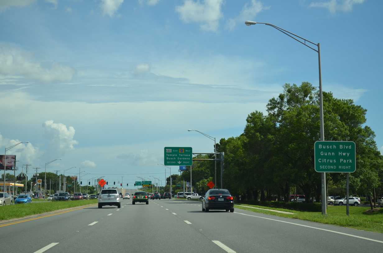
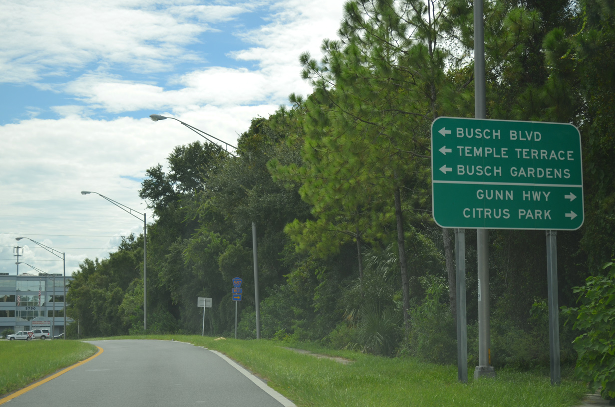
A series of guide signs precede the folded diamond interchange between Dale Mabry Highway, Gunn Highway (CR 587) north to Citrus Park and Busch Boulevard (SR 580) east into north Tampa.
06/26/15
An off-ramp departs beyond the forthcoming traffic light with Linebaugh Avenue for SR 580 east to Busch Gardens in Tampa and Temple Terrace.
06/26/15
Linebaugh Avenue intersects SR 597 (Dale Mabry Highway) just ahead of the junction with SR 580. The avenue comprises a local road to adjacent White Trout Lake and as a cutoff to Gunn Highway north by the Plantation community.
06/26/15
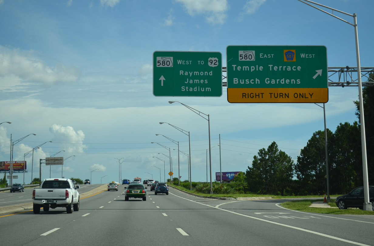
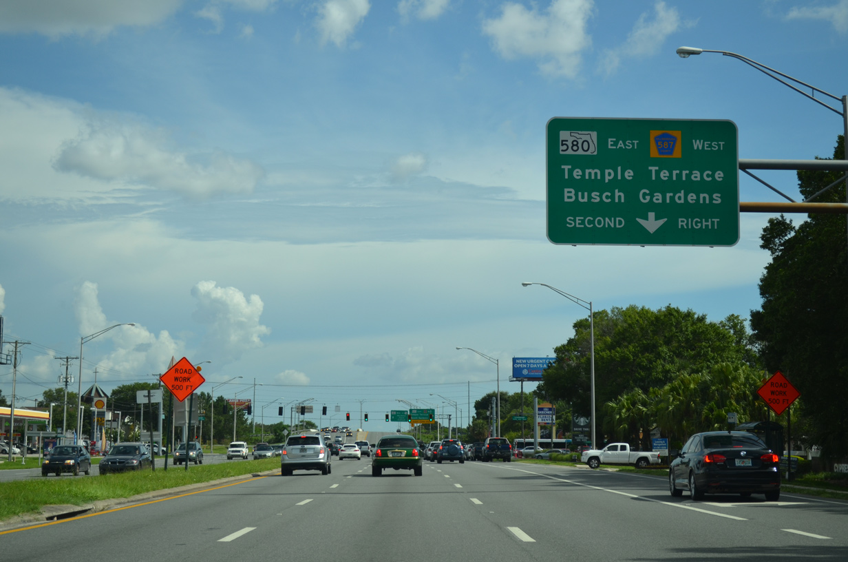
Three lanes of Dale Mabry Highway continue south as SR 580 toward U.S. 92 (Hillsborough Avenue) and Raymond James Stadium in Tampa. All traffic bound for SR 580 (Busch Boulevard) east and Hillsborough County Road 587 (Gunn Highway) north depart in unison to the right.
06/26/15
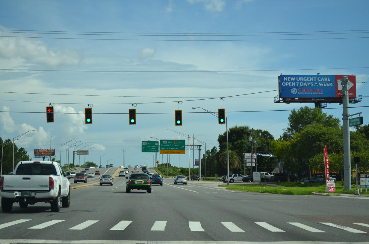
Taking the off-ramp from Dale Mabry Highway to Busch Boulevard, motorists approach a signalized intersection with Busch Boulevard east and Gunn Highway west. SR 580 travels south of White Trout Lake to connect the Carrollwood area with Lowry Park and Sulphur Springs in Tampa to the east.
09/07/14
County Road 587 extends 14.64 miles northwest along Gunn Highway from Dale Mabry Highway to SR 54 at Odessa in Pasco County. The route consists of a commercial arterial northwest to Citrus Park Mall.
09/07/14
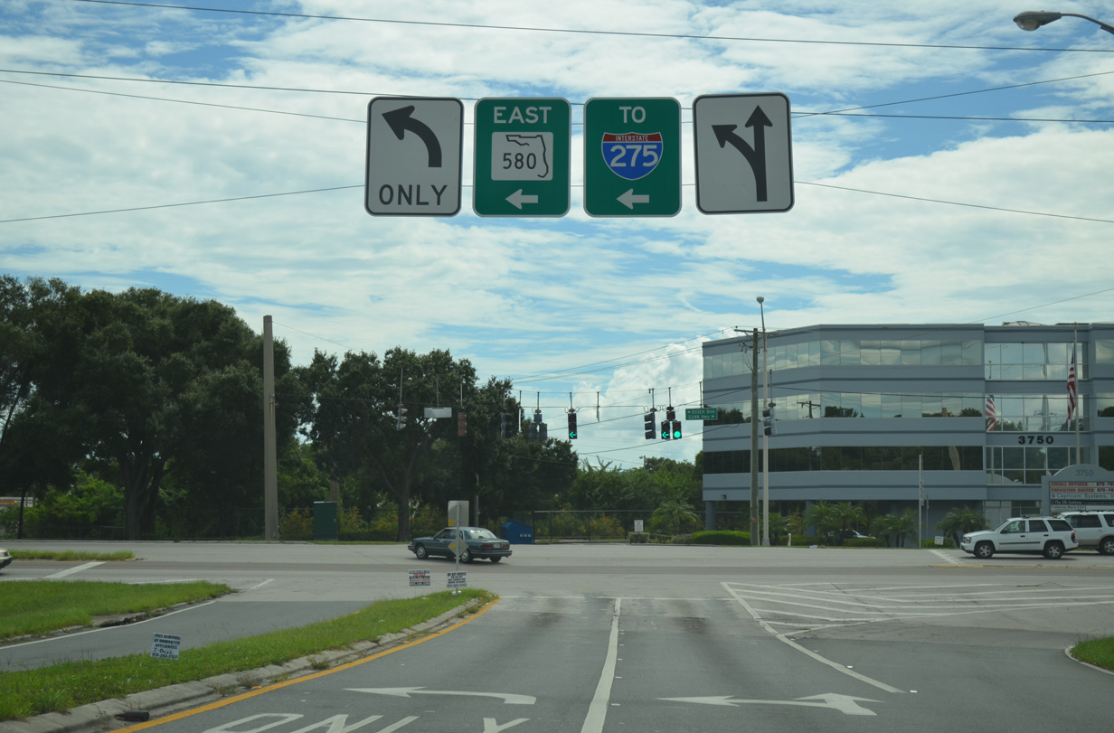
Span wire supported signs direct motorists onto SR 580 (Busch Boulevard) east. The state road parallels a CSX Railroad line three miles east to an interchange with Interstate 275.
09/07/14
References:
- SR 597 (Dale Mabry Highway) Intersection Improvements at Sunlake Boulevard - Project ID: 254677-4-30-92. Florida Department of Transportation (FDOT), project web page.
Photo Credits:
- Alex Nitzman: 08/15/15, 08/23/16, 02/02/18, 08/13/18, 05/03/19, 09/08/21, 02/27/22
- Brent Ivy: 10/17/21
- AARoads: 09/07/14
- ABRoads: 06/26/15, 04/23/21
Connect with:
Page Updated Monday February 28, 2022.