
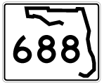
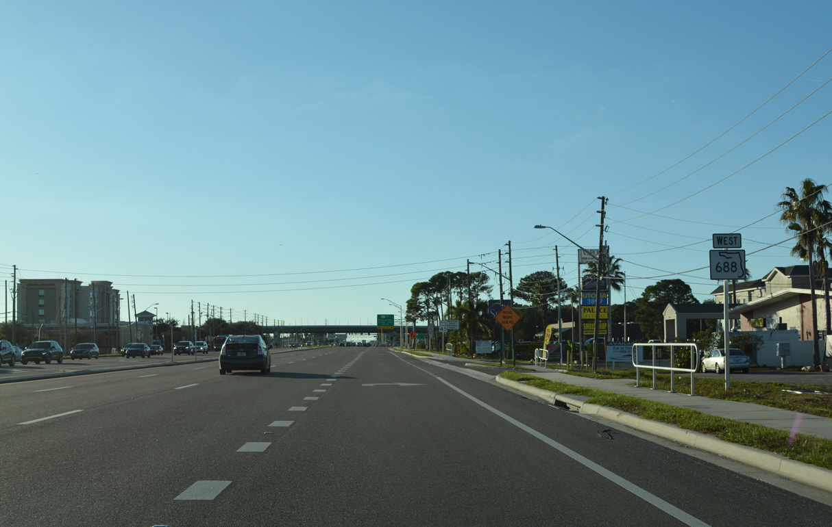
State Road 688 West
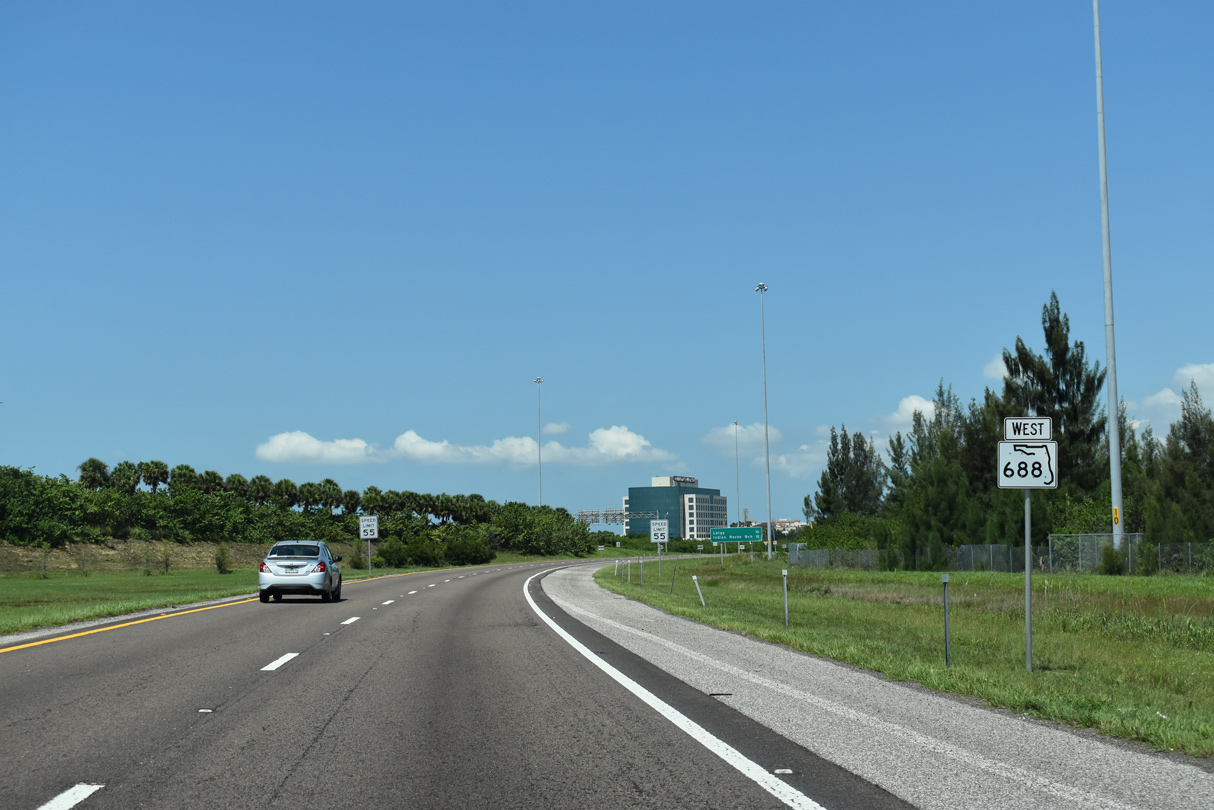
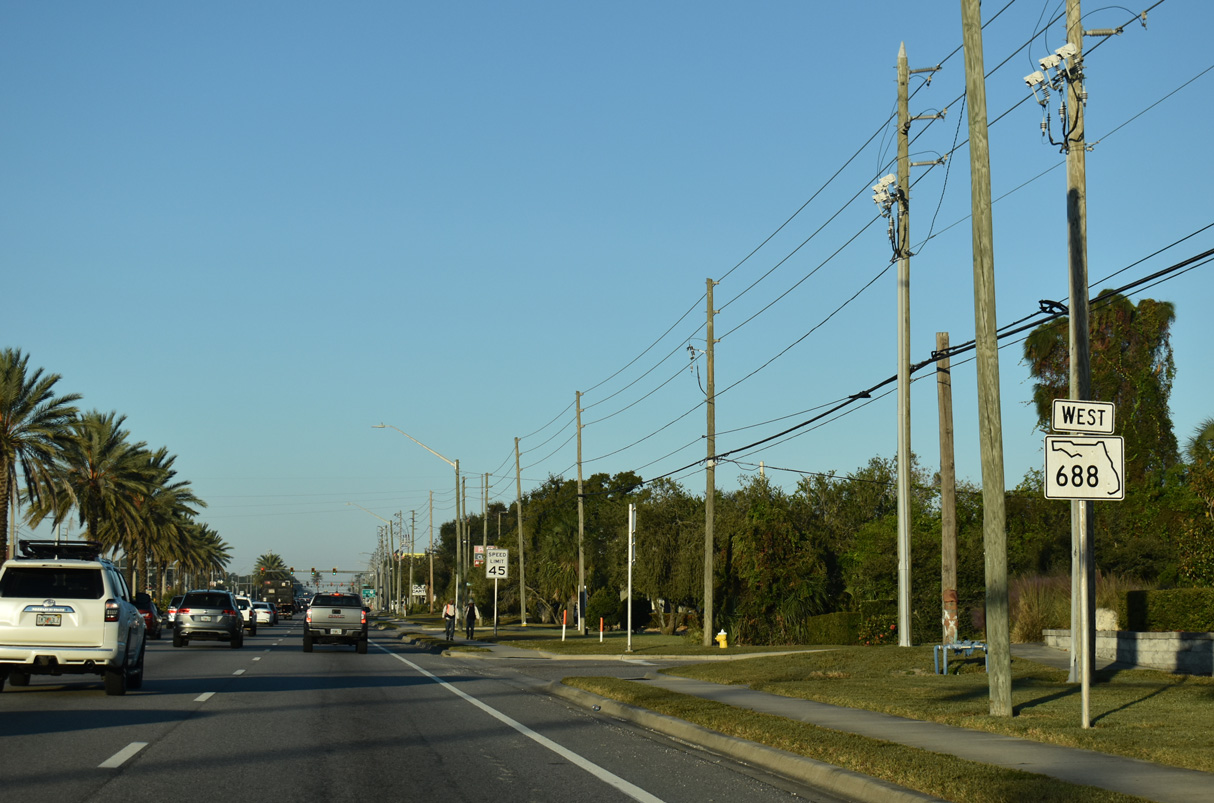
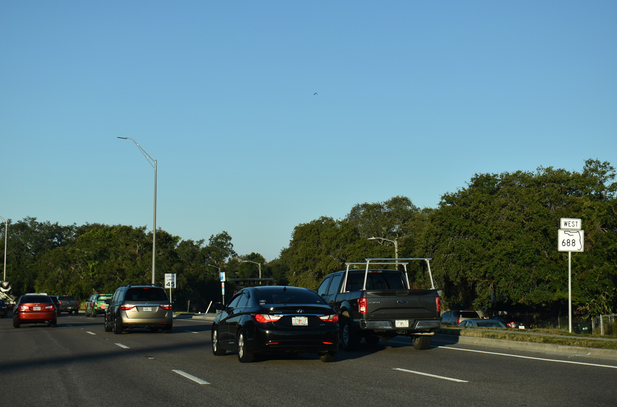
State Road 688 west begins along the southbound off-ramp from I-275 at Exit 31. There is no access to Ulmerton Road from I-275 north or adjacent CR 803 (Martin Luther King, Jr. Street).
06/11/20

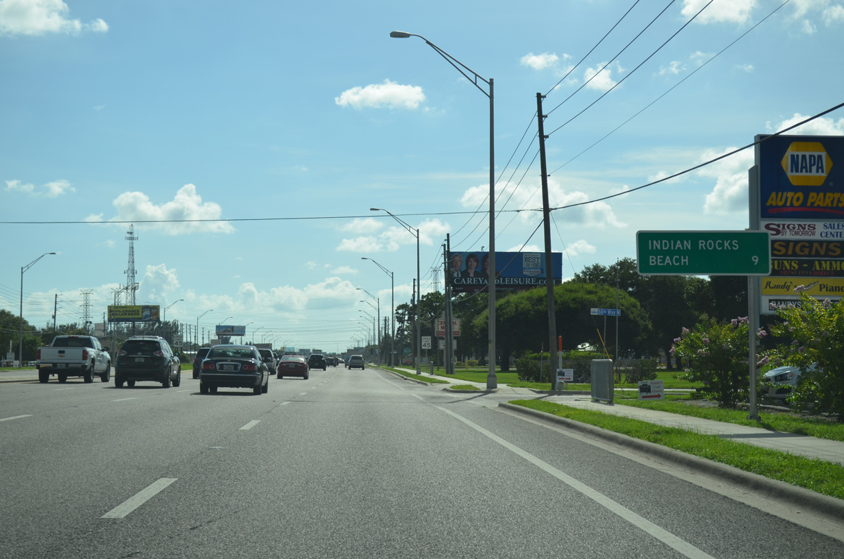
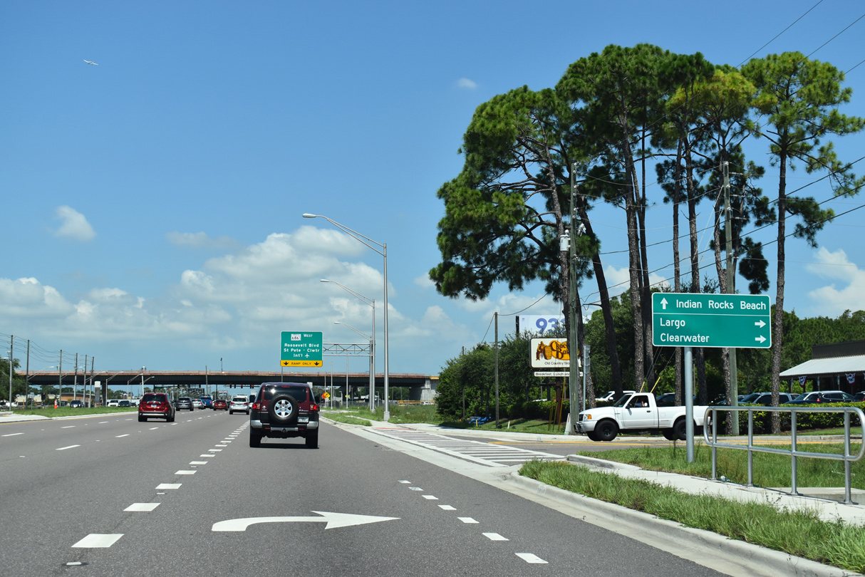
SR 688 leads west ten miles to central Largo and 12 miles to Indian Rocks Beach.
06/11/20
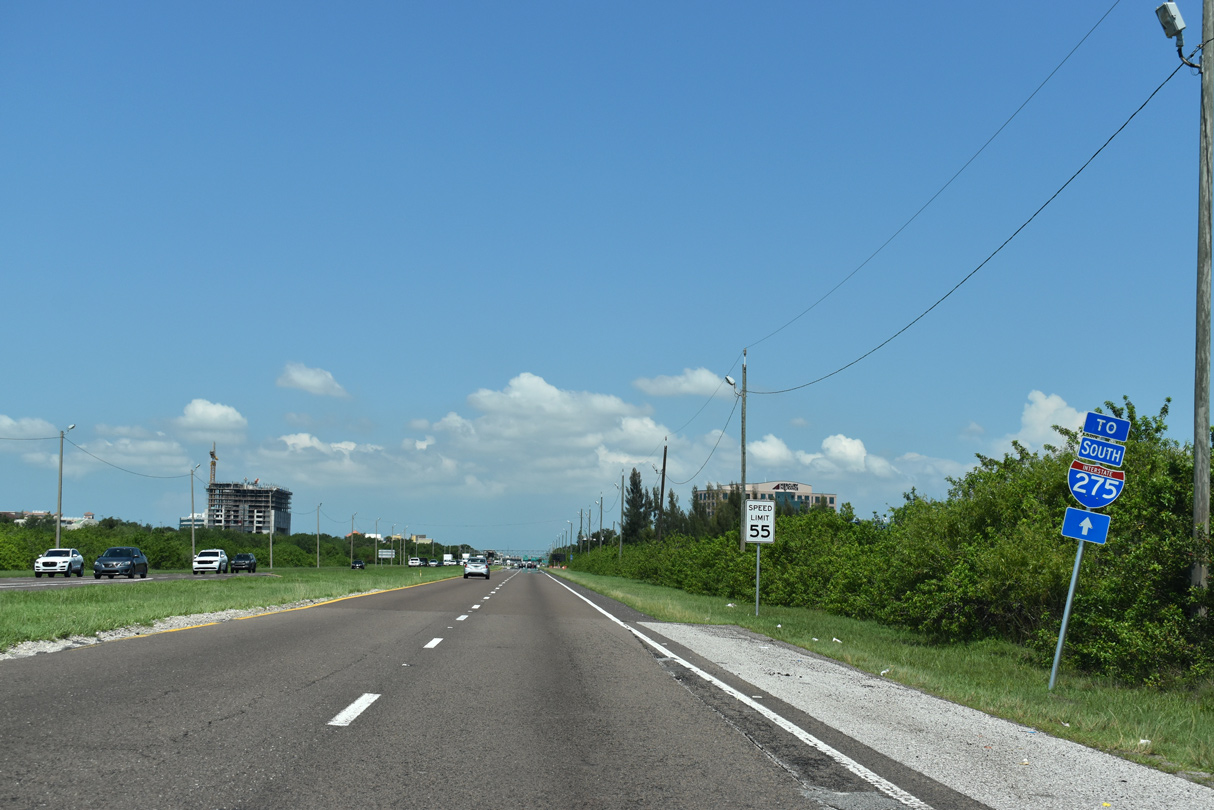
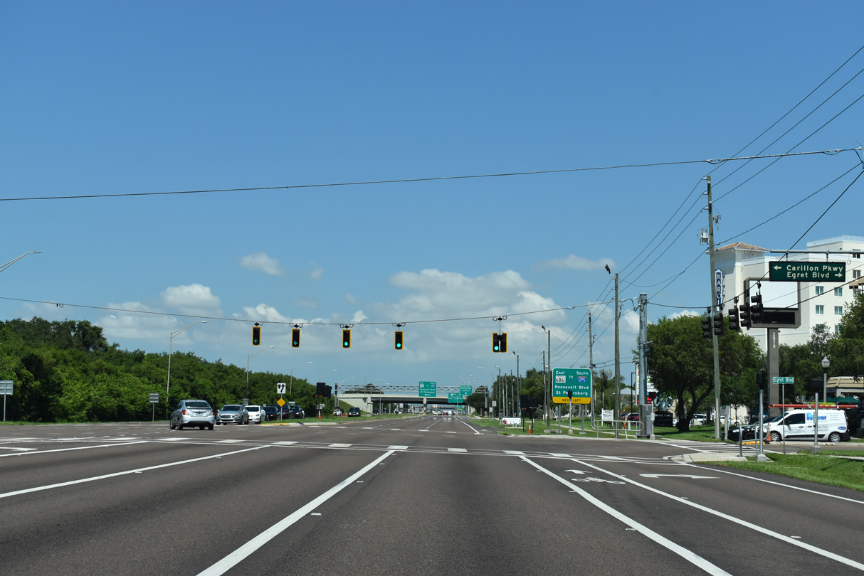
A southbound trailblazer for return access to I-275 directs motorists west toward Roosevelt Boulevard (SR 686 east).
06/11/20
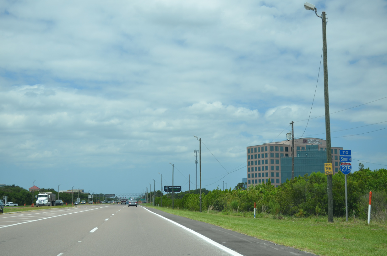
A second I-275 trailblazer appears at the left turn for Franklin Templeton. A U-turn takes drivers back to I-275.
05/29/15
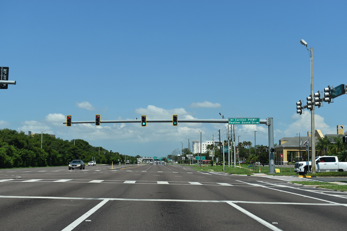
Feather Sound Drive loops northward from SR 688 (Ulmerton Road) to encircle Feather Sound Country Club by a number of neighborhood streets and condominiums.
06/11/20
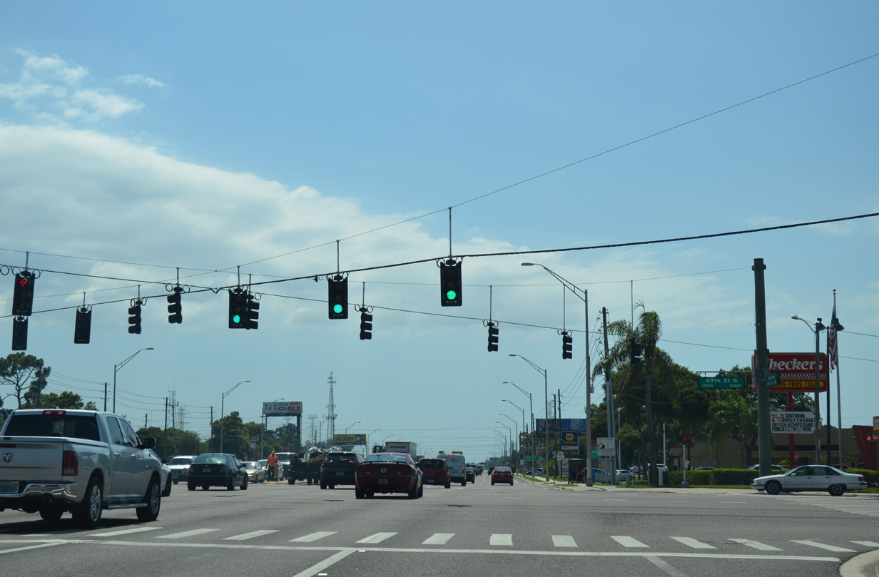
Feather Sound Square Shopping Center lines the north side of Ulmerton Road to Egret Boulevard. Carillon Parkway West ties into the signal with Egret Lane from the sprawling Carillon Business Complex to the south.
06/11/20
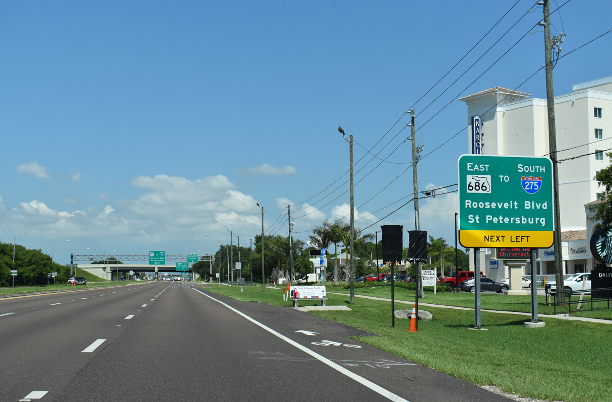
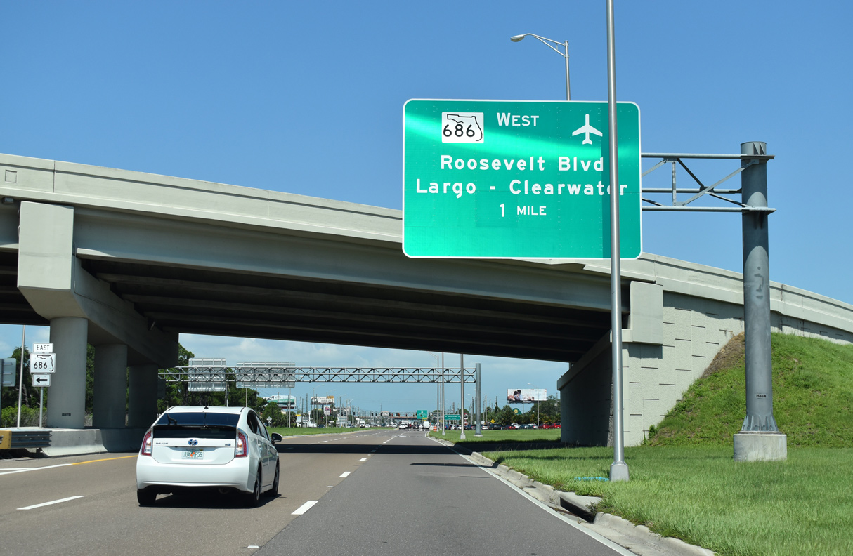
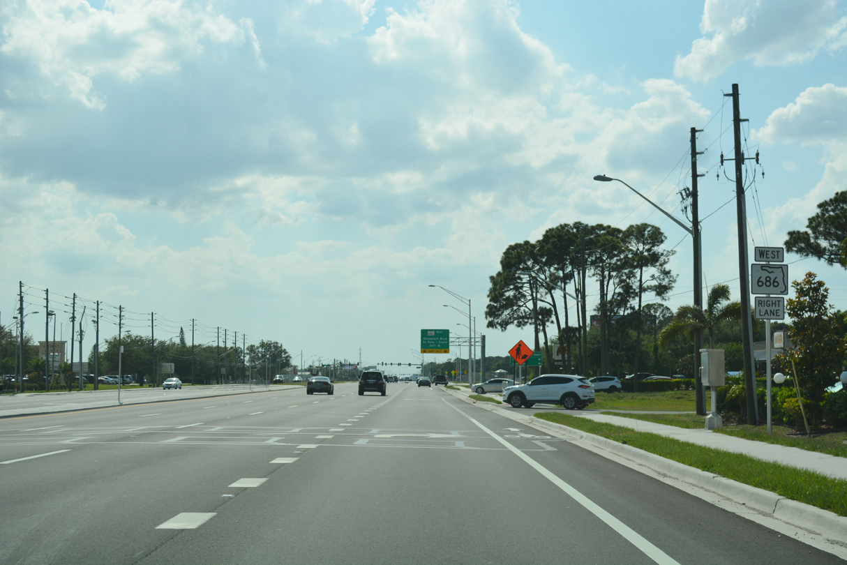
A guide sign installed in 2015 directs travelers along SR 688 (Ulmerton Road) to move left for SR 686 (Roosevelt Boulevard) east back into St. Petersburg.
06/11/20
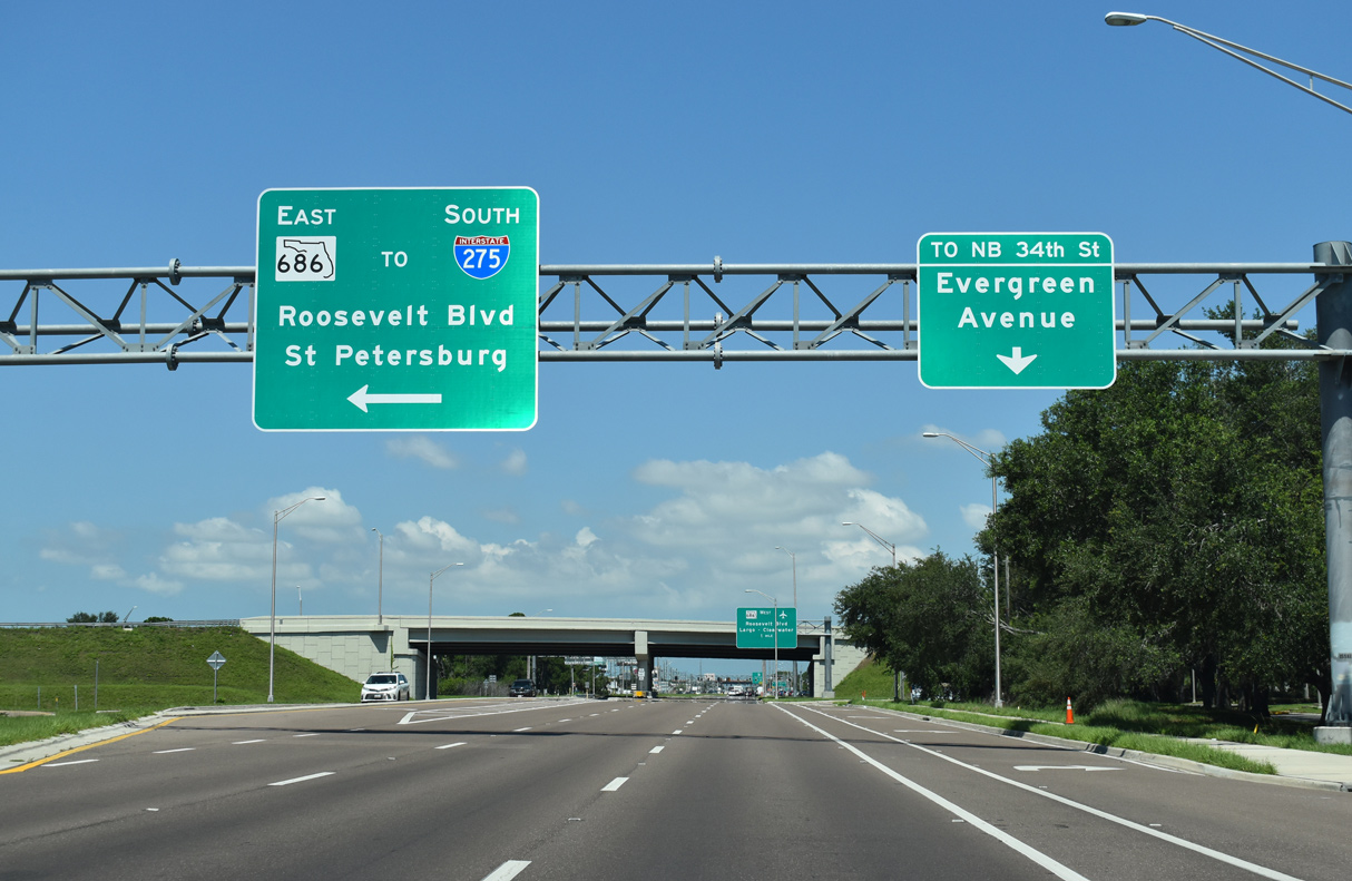
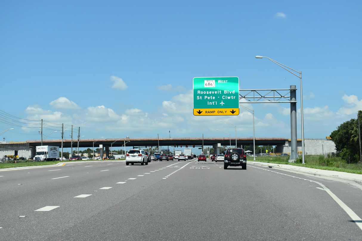
Construction from 2013 to early 2015 replaced the 1975-built overpass carrying SR 686 west onto SR 688 west as part of an overall widening project along Ulmerton Road west from Feather Sound. A bypass lane circumvents merging traffic from Roosevelt Boulevard north along SR 688 west to Evergreen Avenue and 34th Street N.
06/11/20
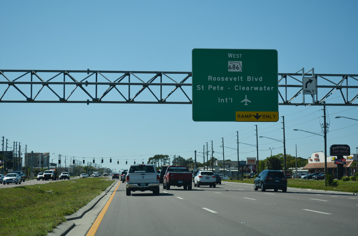
SR 686/688 combine for 1.03 miles to the south of St. Pete-Clearwater International Airport (PIE).
06/11/20

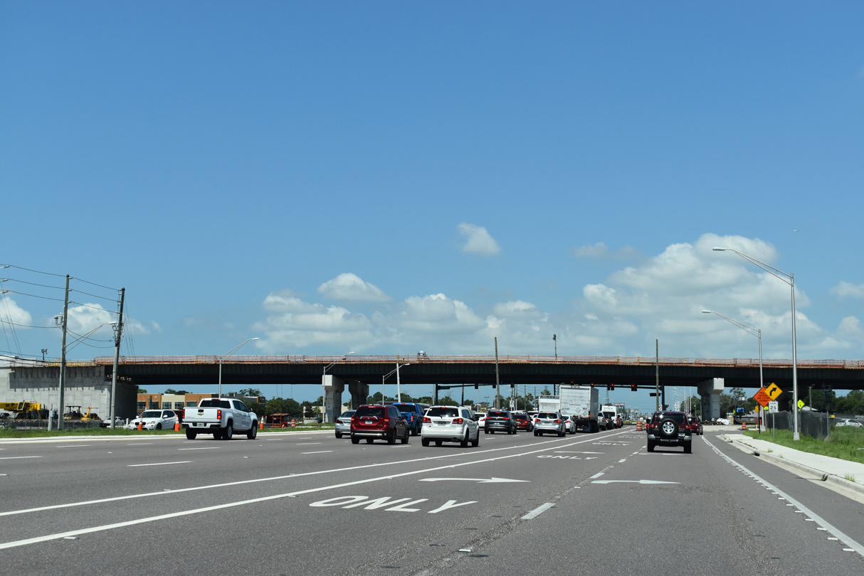
The bypass ramp for 34th Street N combines with the flyover completed in 2015 bringing SR 686 west onto SR 688 (Ulmerton Road).
06/11/20
SR 686 splits with SR 688 beyond 38th Street N to resume along Roosevelt Boulevard northwest by St. Pete-Clearwater International Airport (PIE).
04/28/24
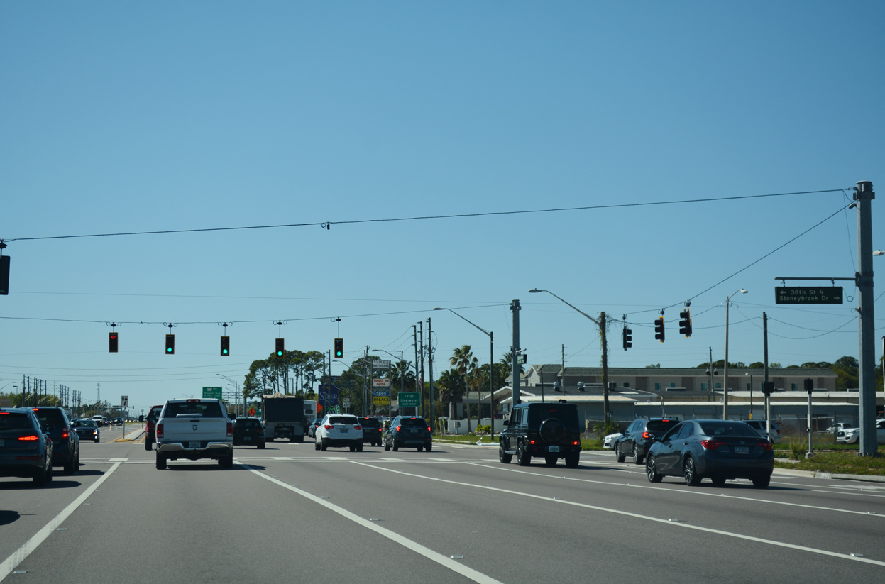
38th Street N and Stoneybrook Drive tie into Ulmerton Road from the Marwood Centre II office complex and other adjacent businesses.
03/05/19
SR 686/688 (Ulmerton Road) continue west from 38th Street N and south of the PIE Airport runway approach to their split at the Gateway Expressway.
06/11/20
A reassurance marker for SR 688 omits SR 686 west of 38th Street N.
04/28/24
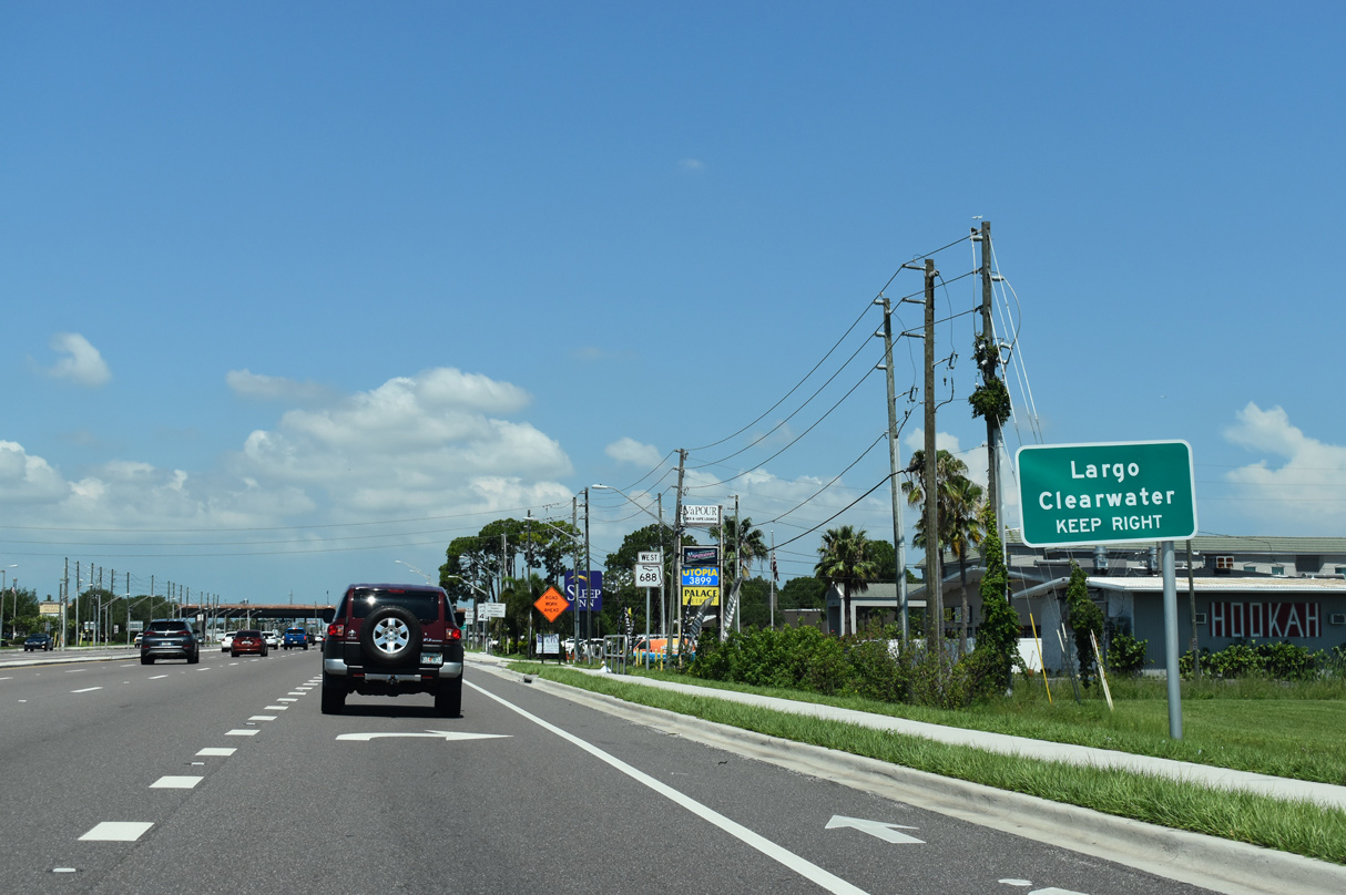
SR 686 (Roosevelt Boulevard) turns northward to PIE Airport, High Point and Largo while SR 688 continues along Ulmerton Road west through south Largo en route to Indian Rocks Beach.
04/28/24
06/11/20
A wye interchange previously took SR 686 west onto Roosevelt Boulevard north of Showtime Speedway while SR 688 west maintained two through lanes. The overpass was demolished to make way for construction of the Gateway Expressway (SR 686A).
04/28/24
Constructed from 2017 to late 2021 Spring 2024, SR 686A along the Gateway Expressway runs north from SR 690 and 118th Avenue N (CR 296) to SR 688 (Ulmerton Road), and northwest alongside SR 686 (Roosevelt Boulevard) to PIE Airport and the Bayside Bridge (CR 611).
12/08/22
One quarter mile west of the ramps with Roosevelt Boulevard north is the signalized intersection joining SR 688 with 49th Street N.
04/28/24
Designated as CR 611, 49th Street N forms a four to six lane boulevard leading north to the Bayside Bridge to east Clearwater and south through Pinellas Park to Lealman, Lake Sheffield in St. Petersburg and CR 138 (22nd Avenue S) at the Gulfport city line.
08/14/22
SR 688 (Ulmerton Road) runs west between the Largo and Pinellas Park city limits within the vicinity of 49th Street N.
08/14/22
Westbound reassurance marker posted after CR 611 (49th Street N). The eight lane arterial passes through an area of industrial parks to Cross Bayou Canal.
08/14/22
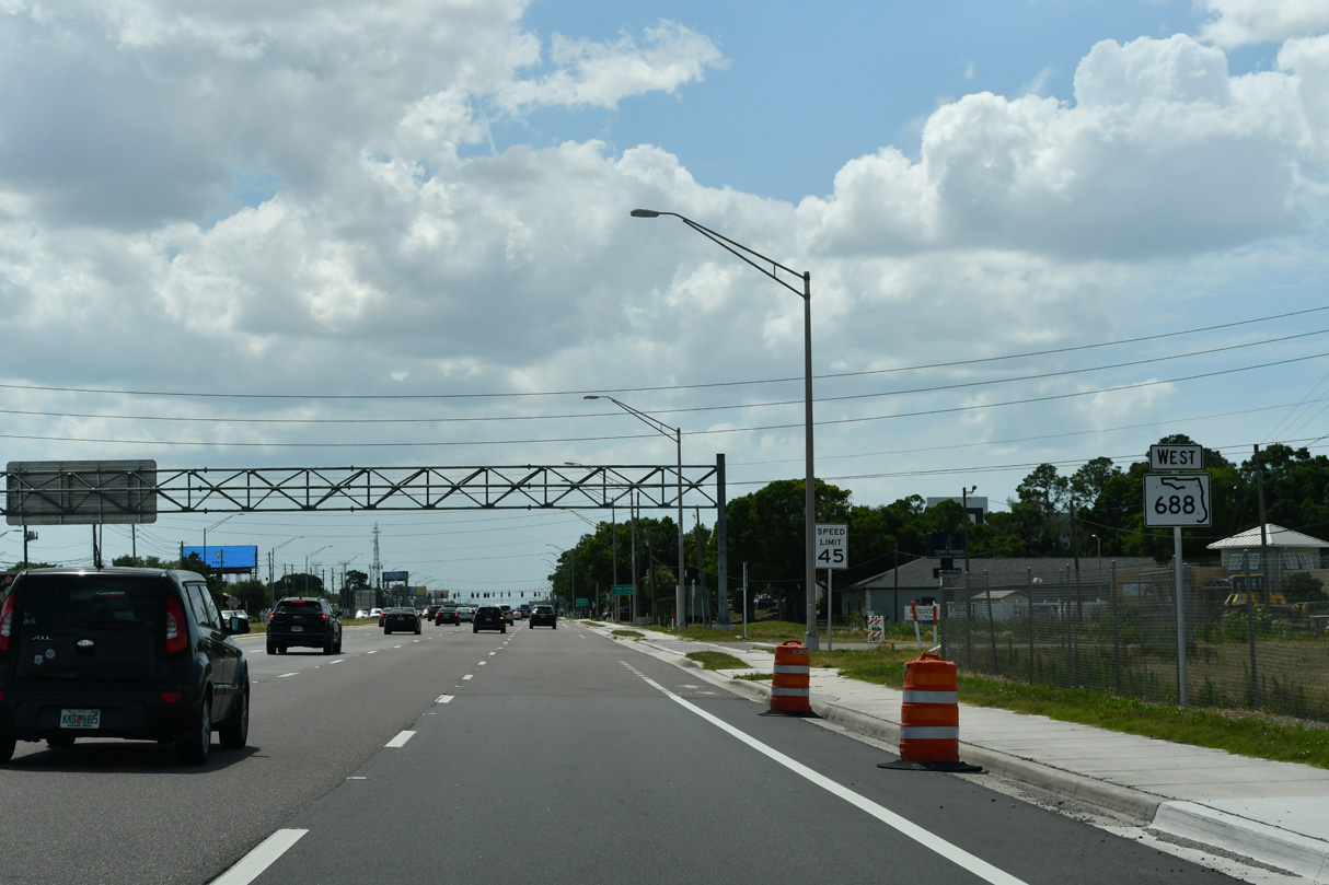
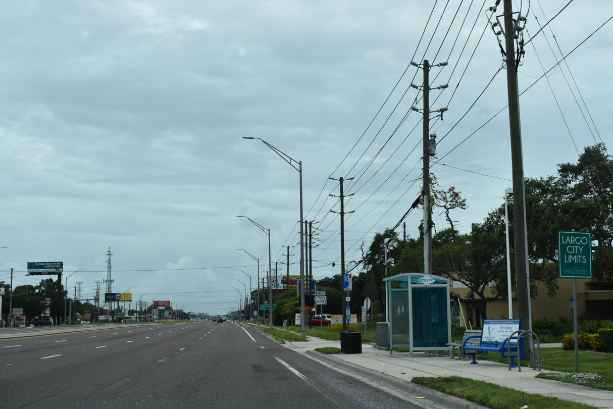
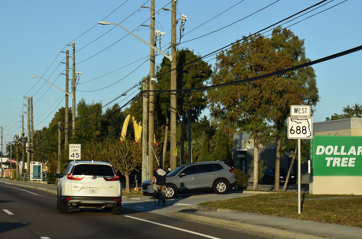
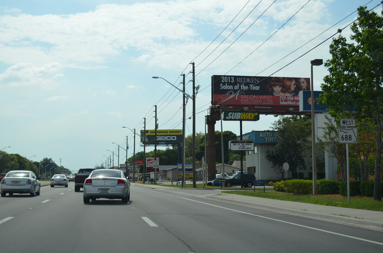
SR 688 straddles the Largo city line west from SR 686 to 60th Street before fully entering the city. This leaves Indian Rocks Beach as the lone destination of the state road westbound in nine miles.
08/14/22

58th Street N serves a mobile home park to the south. Northward the street provides the main roadway through the ICOT Business Center to High Point and SR 686 (Roosevelt Boulevard).
08/14/22
This shield for SR 688 west stands after 58th Avenue N, south of the Clearwater Ice Arena.
08/14/22
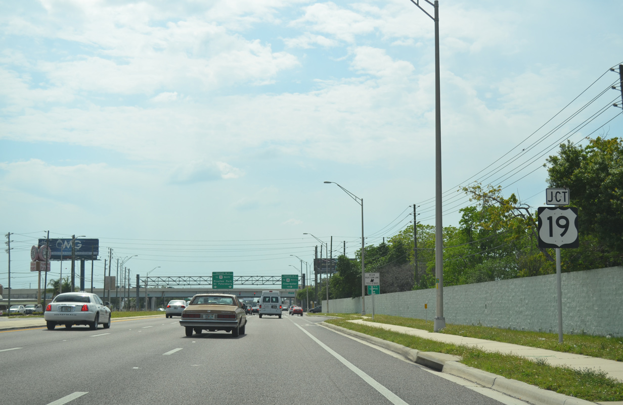
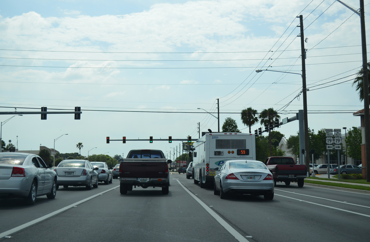
Next along Ulmerton Road west is the single point urban interchange (SPUI) with U.S. 19.
08/14/22
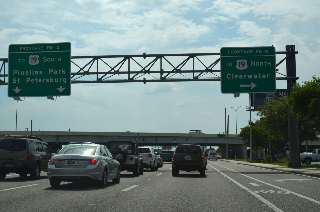
U.S. 19 travels north from 49th Street N (CR 611) at Pinellas Park to Evans Road near Dunedin along a freeway. The route was upgraded from an at-grade boulevard in stages between 2006-15, with the old route converted to service roads. Motorists turning north for U.S. 19 to Clearwater first travel the frontage road before taking a slip ramp onto the six lane freeway.
08/14/22
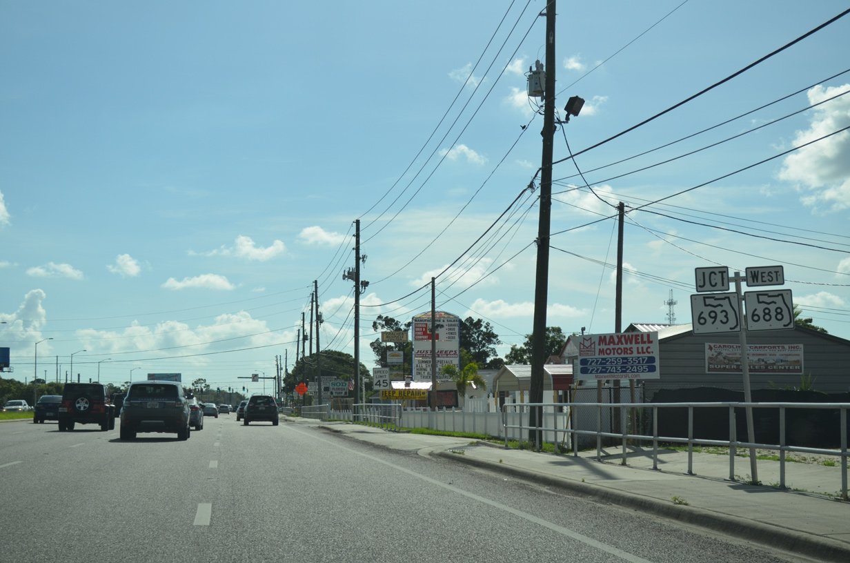
SR 688 (Ulmerton Road) west continues one third of a mile to SR 693 (66th Street N).
06/26/15
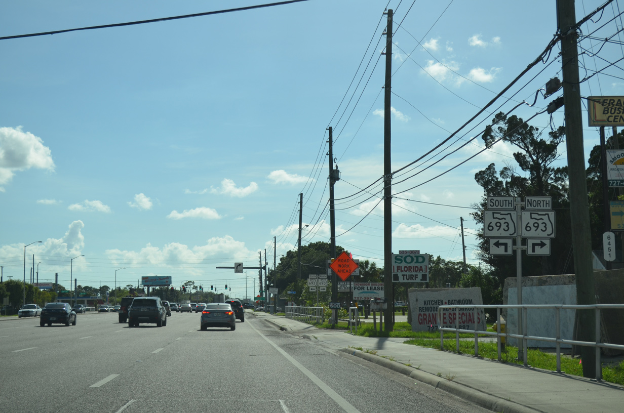
State Road 693 lines 66th Street N to end at U.S. 19 nearby.
06/26/15
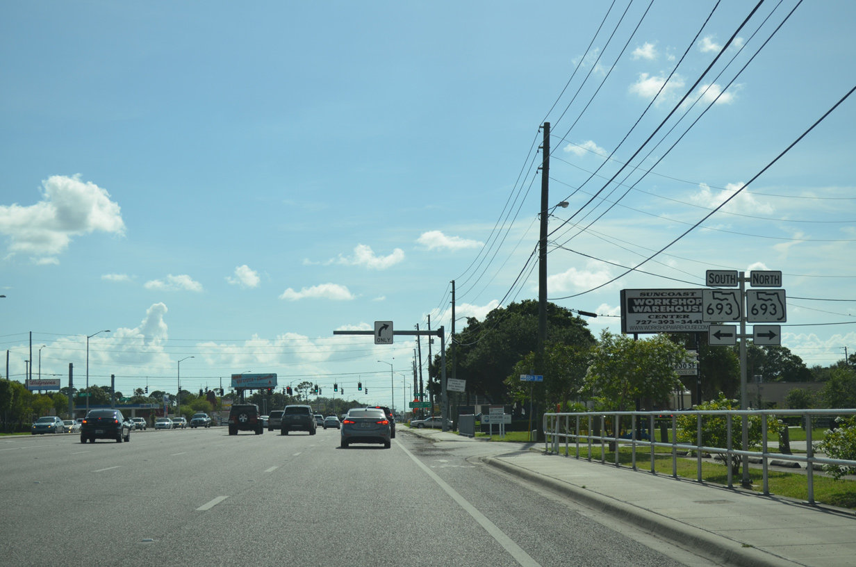
Southward from SR 688, the 11.63 mile route of SR 693 extends to Kenneth City, west St. Petersburg, South Pasadena and SR 699 (Blind Pass Road) in St. Pete Beach.
06/26/15
SR 693 carries four to six lanes overall mostly as a commercial arterial between St. Petersburg and U.S. 19 in Largo. Historically the route was a part of State Road A19A, a loop south from U.S. 19 to St. Pete Beach and east along the Pinellas Bayway.
06/26/15
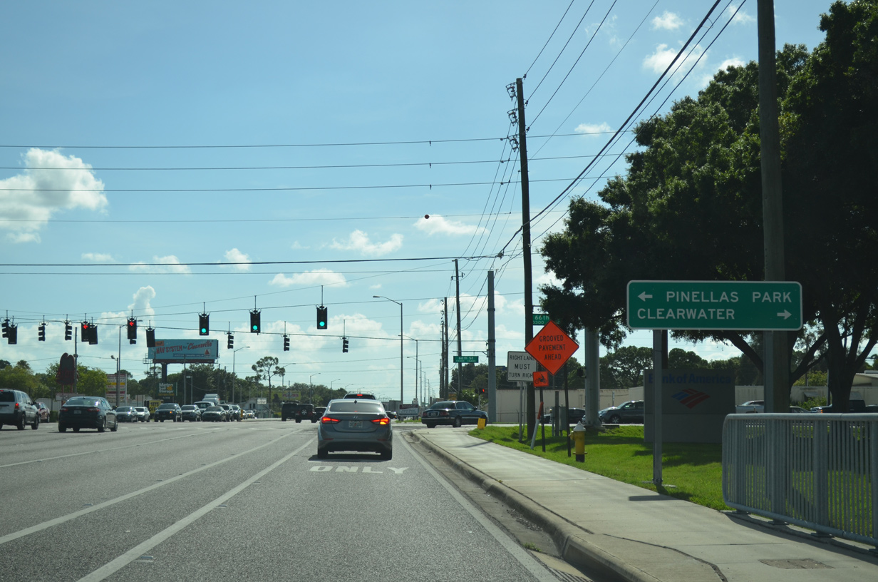
A number of apartment complexes and manufactured homes communities line Ulmerton Road on the mile leading west from 66th Street N (SR 693).
05/12/14
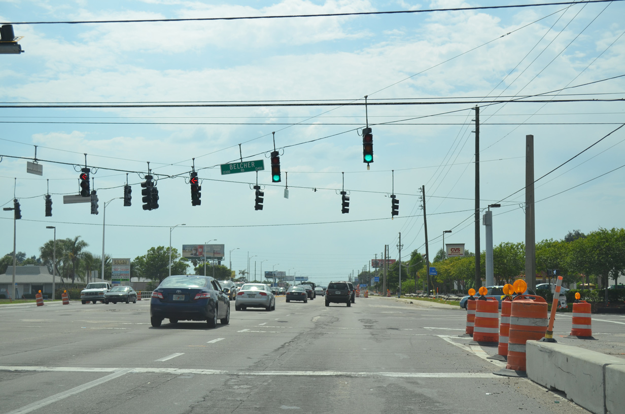
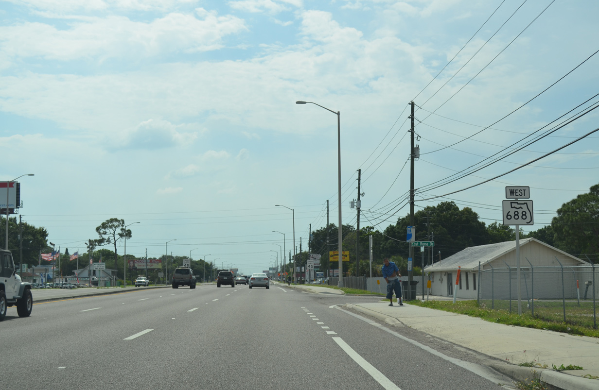
Belcher Road, a six lane arterial, intersects SR 688 (Ulmerton Road) west at the ensuing traffic light. Belcher Road heads south to CR 694 (Park Boulevard) through Pinellas Park and north through Largo and Clearwater as CR 501.
05/12/14
SR 688 reassurance marker posted west of Belcher Road (CR 501).
11/14/25
Tall Pines Drive intersects SR 688 (Ulmerton Road) south of the Light House Executive Center and north of American Business Center.
11/14/25
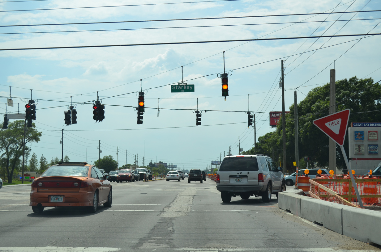
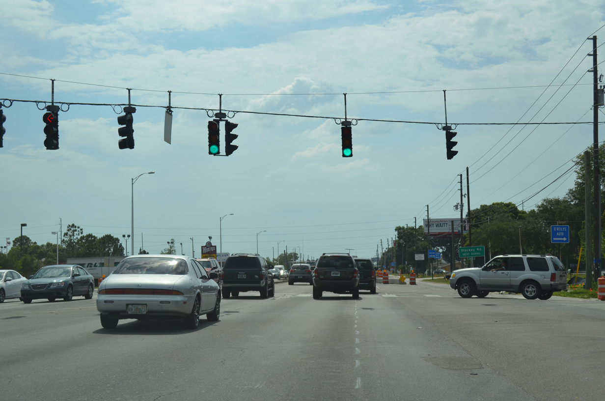
The next major arterial SR 688 (Ulmerton Road) west crosses is Starkey Road (CR 1).
11/14/25
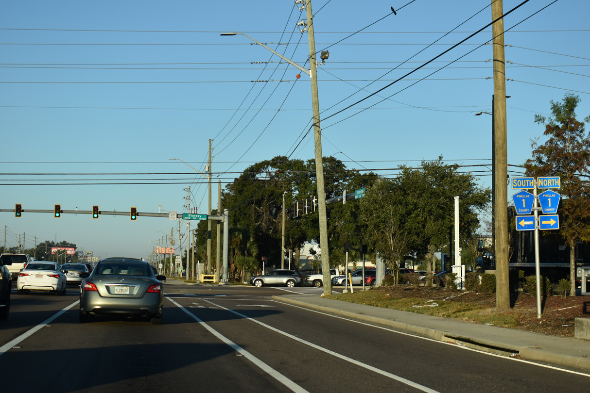
Starkey Road (Pinellas County Road 1) runs north to become Keene Road through Clearwater and south through Pinellas Park to become Park Street North in St. Petersburg.
11/14/25
SR 688 (Ulmerton Road) west of CR 1 (Starkey Road).
11/14/25
Lake Avenue SE stems north from Ulmerton Road to an industrial area east of the CSX Railroad. The road was formerly County Road 375.
11/14/25
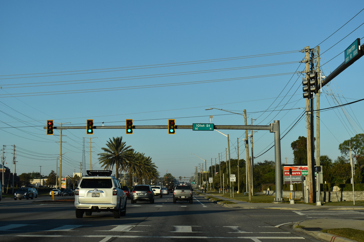
101st Street follows as the next signal to connect Ulmerton Road with two large manufactured home communities.
11/14/25
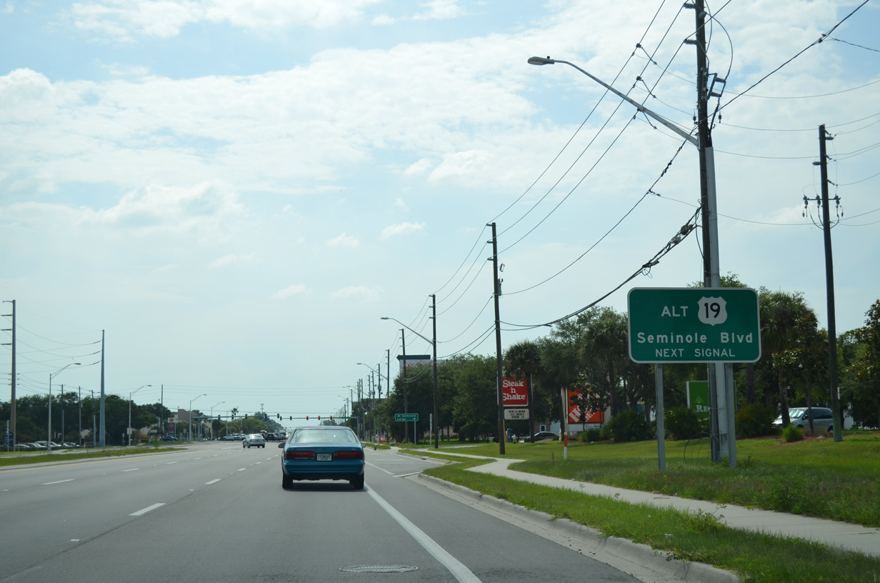
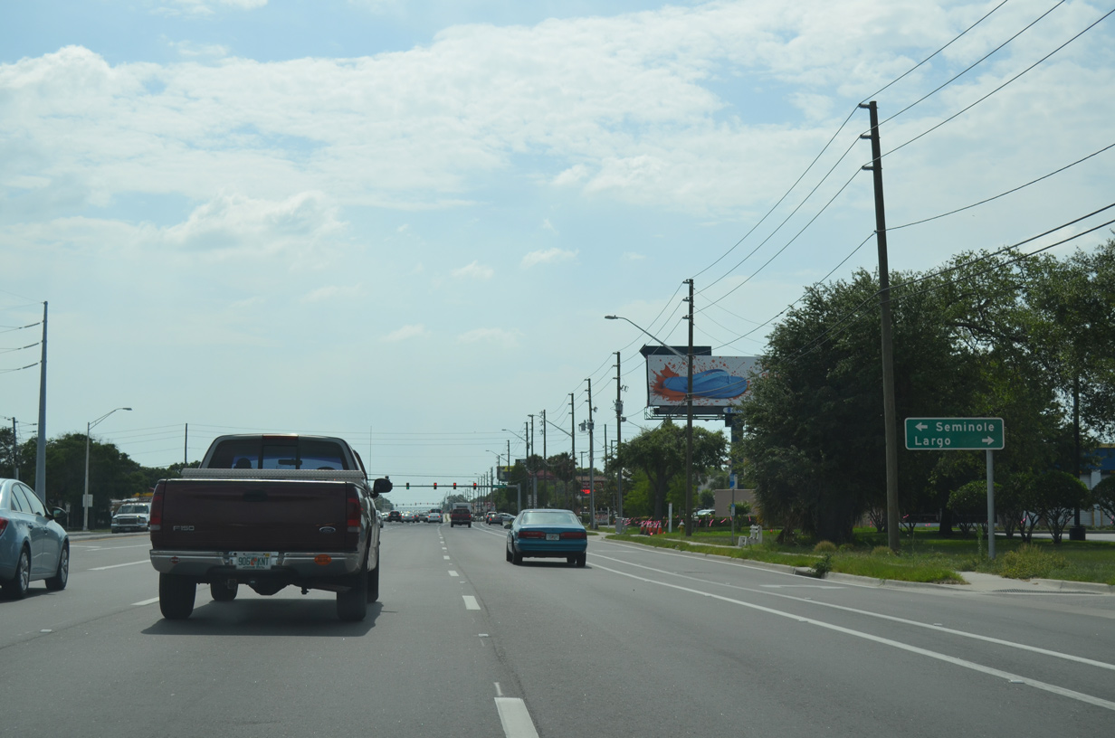
SR 688 (Ulmerton Road) west meets U.S. 19 Alternate (Seminole Boulevard) at a commercialized intersection by Largo Mall.
11/14/25
U.S. 19 Alternate (Seminole Boulevard) runs north from Largo onto Missouri Avenue to SR 60 west into Downtown Clearwater.
11/14/25
South from SR 688, U.S. 19 Alternate leads two miles south into the city limits of Seminole. The route overall travels 37.11 miles from Holiday in Pasco County southward to U.S. 92 (4th Street N) outside Downtown St. Petersburg.
11/14/25
Ulmerton Road leads SR 688 west one mile before the state road curves southward around Ridgecrest County Park.
11/14/25
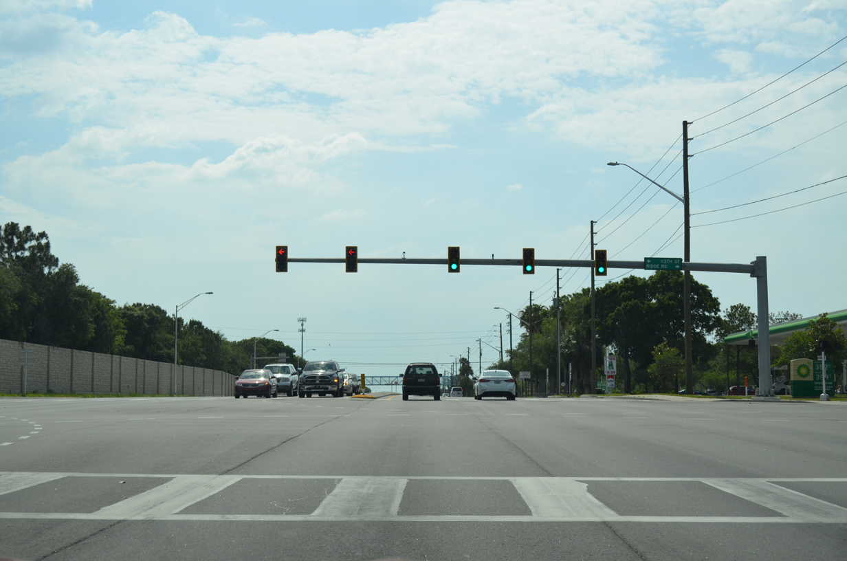
113th Street N and Ridge Road south come together at SR 688 (Ulmerton Road) next. Collectively the four lane boulevard joins Seminole with Largo while paralleling U.S. 19 Alternate (Seminole Boulevard).
11/14/25
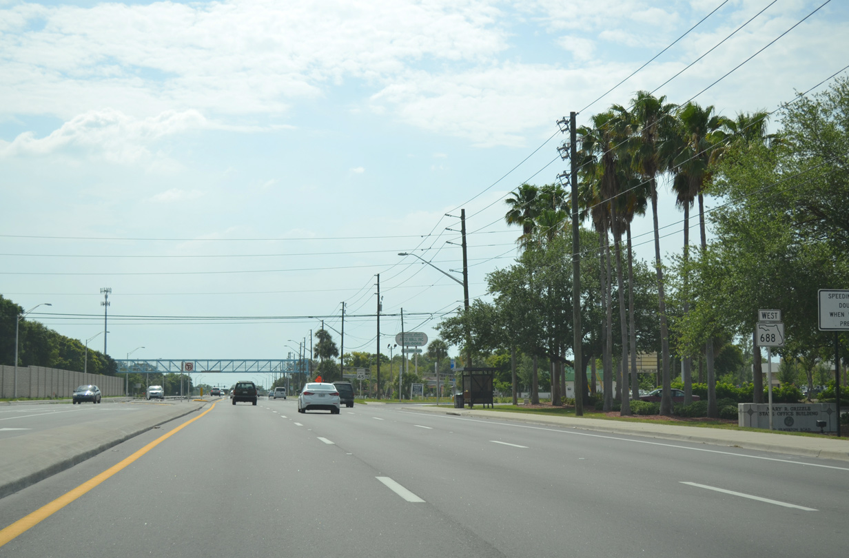
State Road 688 (Ulmerton Road) west leaves the Largo city limits beyond 113th Street N but reenters them again at 131st Street N.
11/14/25
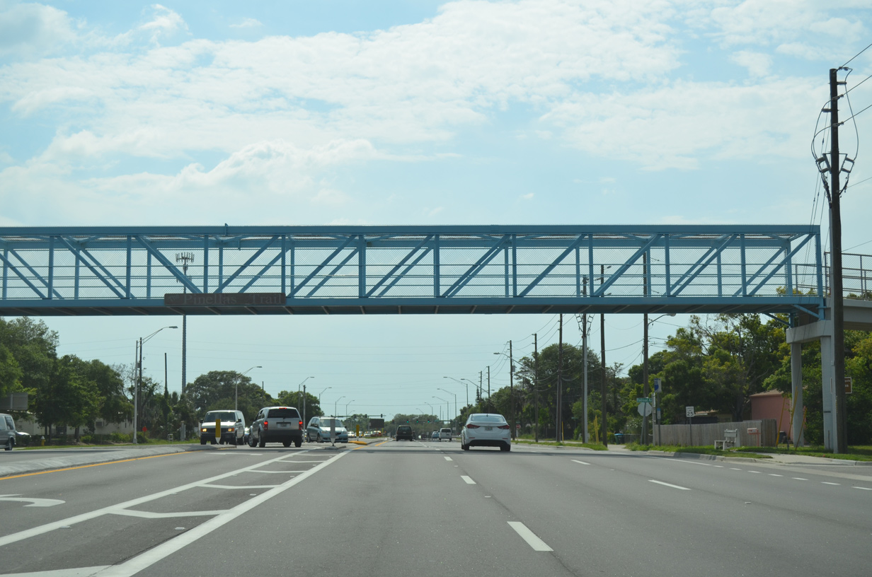
A pedestrian bridge carries the Fred Marquis Pinellas Trail across SR 688 at the Largo city line. The 38 mile long rail trail runs northward to Tarpon Springs and south into St. Petersburg.
11/14/25
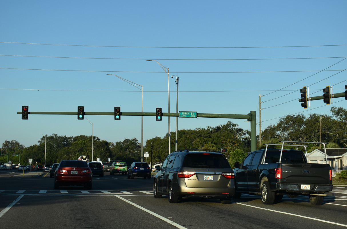
119th Street intersects SR 688 west where Ulmerton Road turns south.
11/14/25
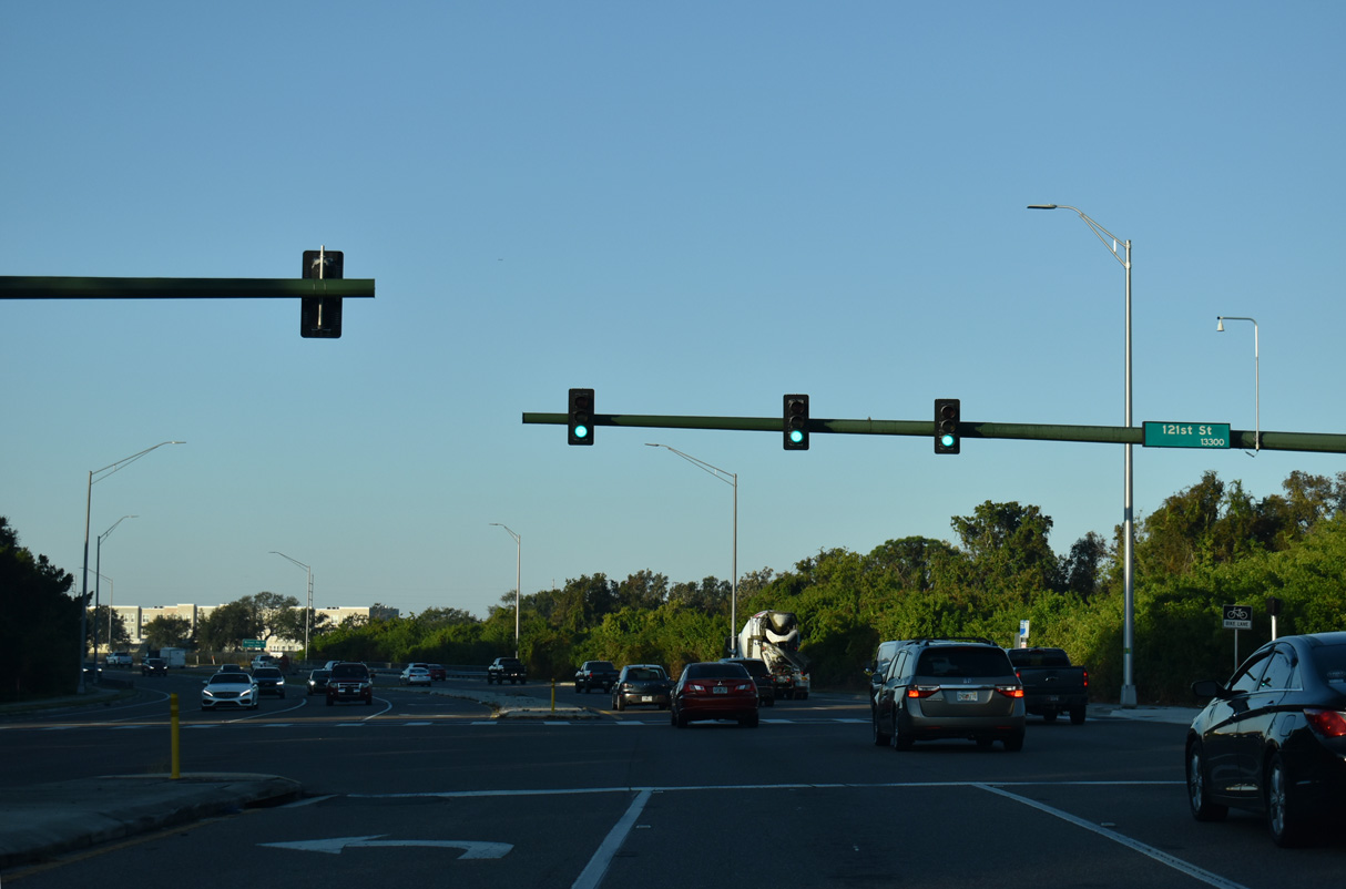
121st Street south ties into SR 688 across from the entrance to Ridgecrest Park.
11/14/25
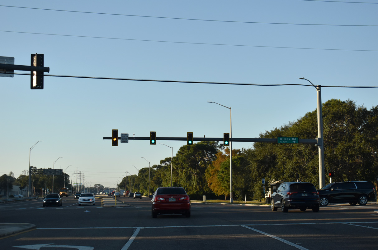
Traffic lights were added along SR 688 (Ulmerton Road) at Wilcox Road west in 2017.
11/14/25
The southern turn of Ulmerton Road leads State Road 688 west onto Walsingham Road for the final push toward Indian Rocks Beach.
11/14/25
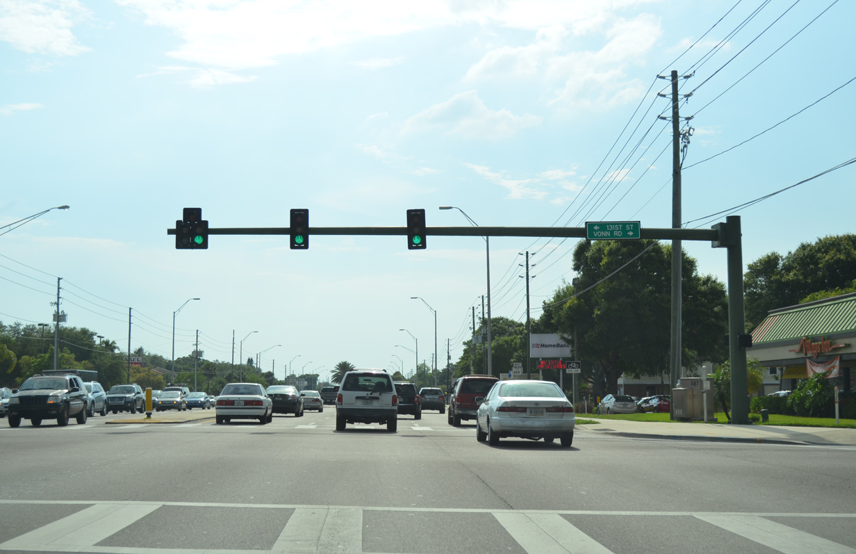
Westbound at the traffic light with Vonn Road north into Largo and 131st Street south to unincorporated Pinellas County.
11/14/25

Walsingham Road maintains six overall lanes west of Vonn Road.
11/14/25
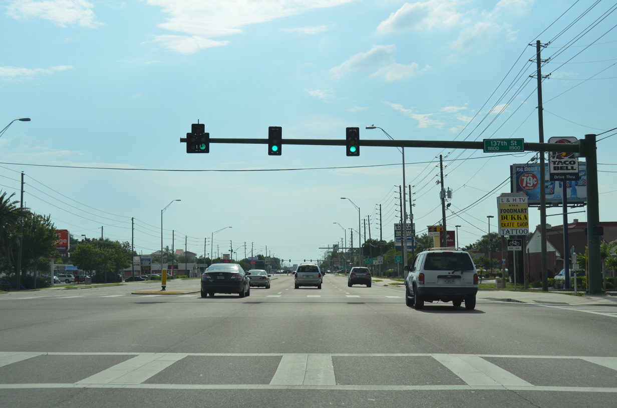
137th Street comprises a residential through road north and south of SR 688 at Anona.
11/14/25
Additional retail lines SR 688 (Walsingham Road) west of 137th Street.
11/14/25

Pinellas County Road 233 follows Indian Rocks Road northeast to the city of Belleair Bluffs and the town of Belleair. This guide sign alludes to the previous designation of CR 233 to the north as Florida Secondary 697 and to the south as Florida Secondary 694.
11/14/25

Oakhurst Road extends CR 233 south to CR 694 (Park Boulevard) at Oakhurst to the west of Seminole.
05/12/14

Walsingham Road reduces to four overall lanes west of County Road 233.
05/12/14
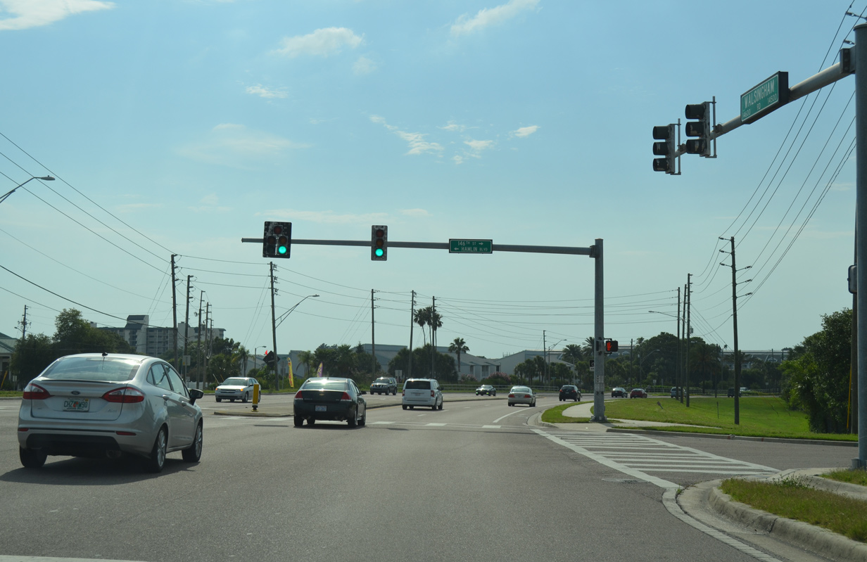
SR 688 curves northward from the intersection with Hamlin Road and 146th Street N. Hamlin Boulevard heads south one mile to 102nd Avenue, the west end of CR 296.
05/12/14
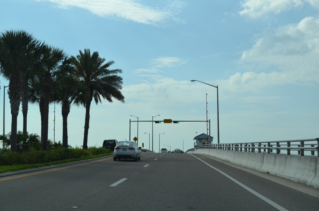
SR 688 (Indian Rocks Causeway) spans The Narrows onto Sand Key.
05/12/14
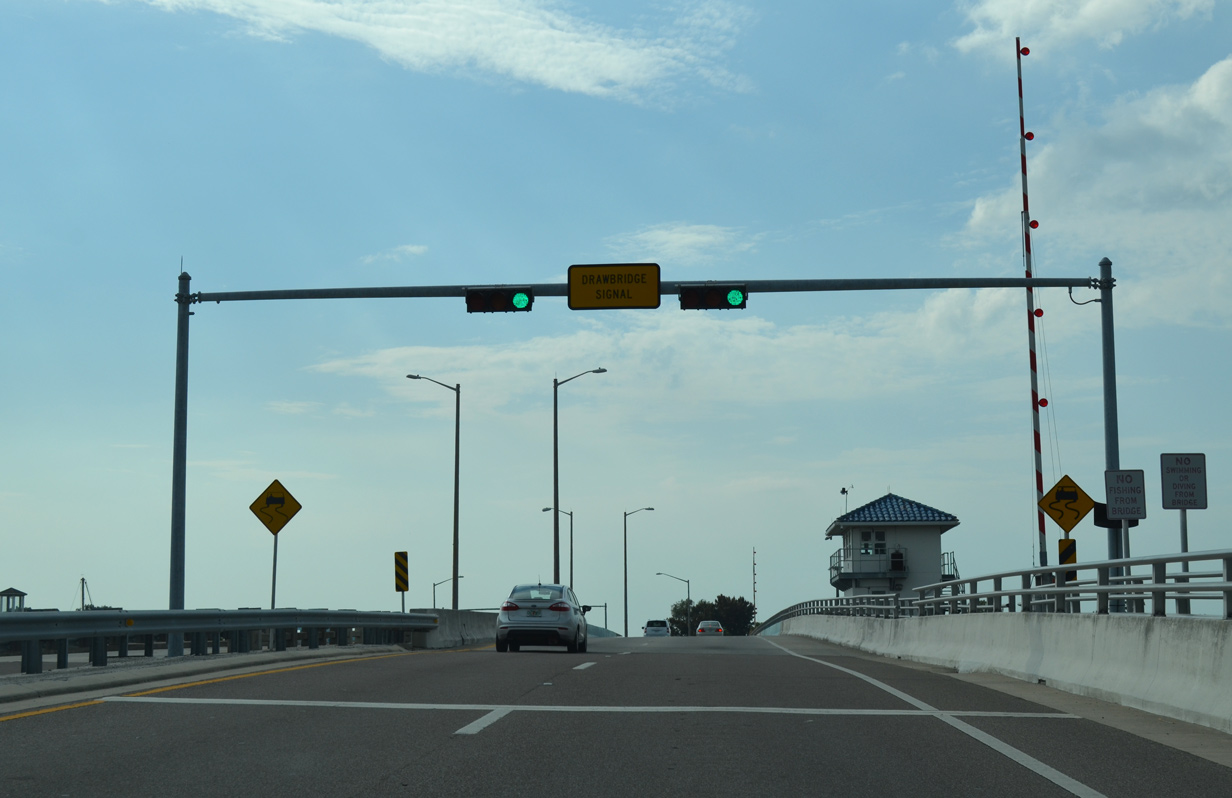
The Narrows doubles as part of the Gulf Intracoastal Waterway running south to Boca Ciega Bay and north to Clearwater Harbor. The waterway also marks the Indian Rocks Beach city limits across SR 688.
05/12/14
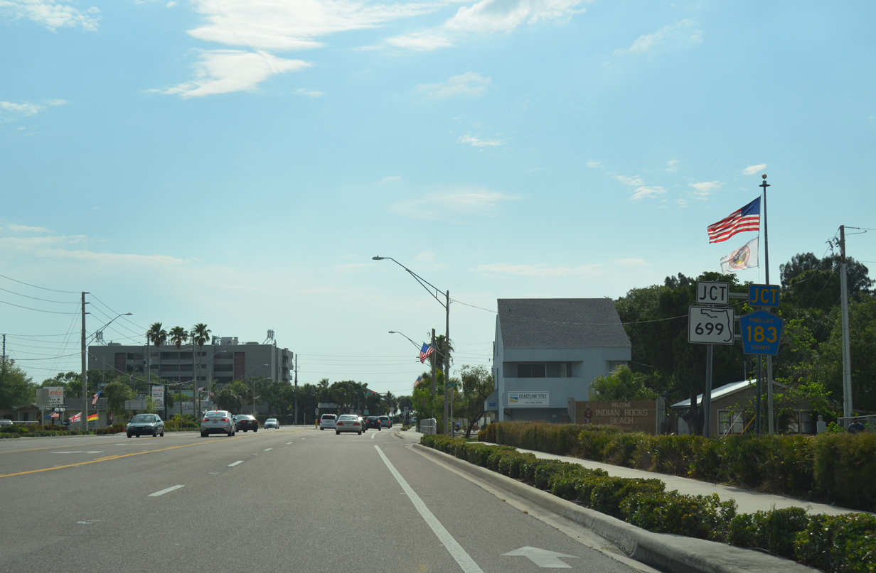
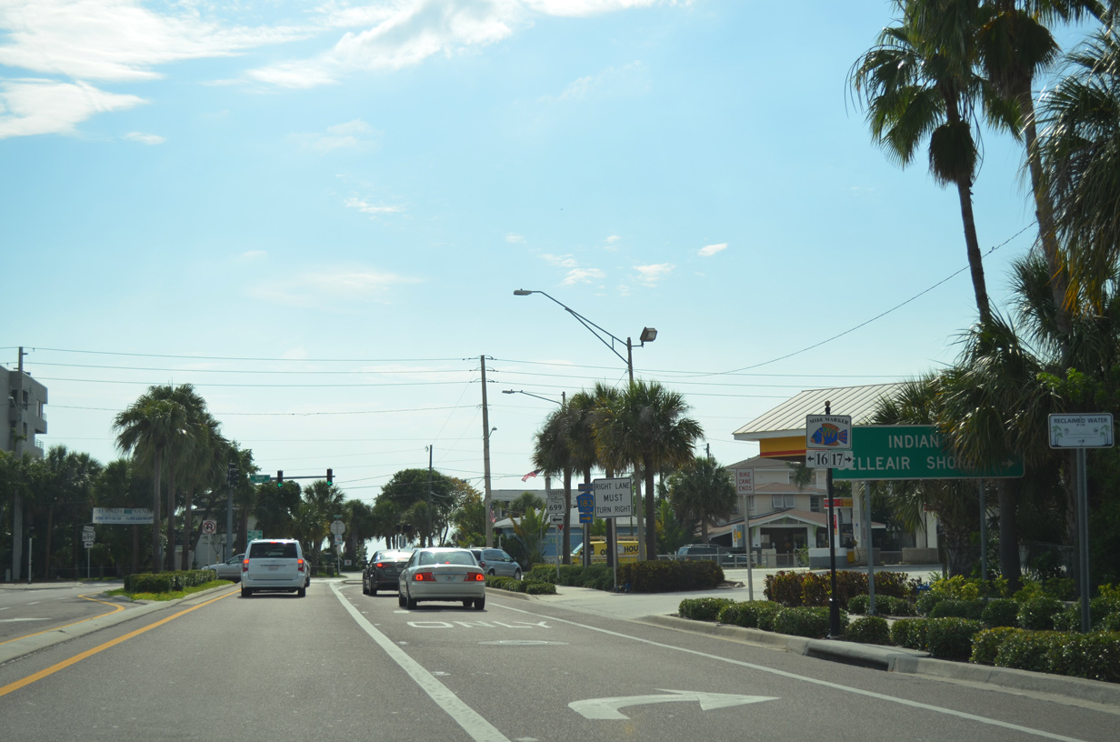
Turning back to the west, SR 688 lines 5th Avenue to SR 699 south and County Road 183 north.
05/12/14
County Road 183 extends Gulf Boulevard north to Belleair Shore, Belleair Beach and Clearwater Beach.
05/12/14
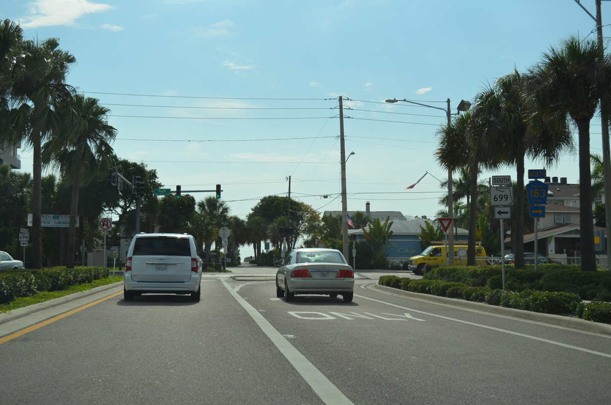
State Road 699 runs south along Gulf Boulevard form Indian Rocks Beach to Indian Shores, Redington Shores, North Redington Beach, Redington Beach, Madeira Beach, Treasure Island and St. Pete Beach.
05/12/14
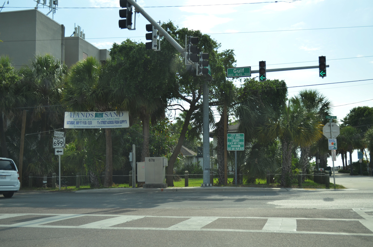
State Road 699 totals 14.60 miles overall between SR 688 and SR 682 (Pinellas Bayway) near Pass-a-Grille. The road mostly follows Gulf Boulevard, with an exception through St. Pete Beach where it takes Blind Pass Road and 75th Avenue.
05/12/14
Photo Credits:
- Alex Nitzman: 03/05/19, 06/11/20, 08/14/22, 12/08/22, 11/14/25
- AARoads: 05/12/14, 05/29/15, 11/14/25
- Brent Ivy: 04/28/24
- ABRoads: 06/26/15
Connect with:
Page Updated Wednesday March 04, 2026.