
State Road 713
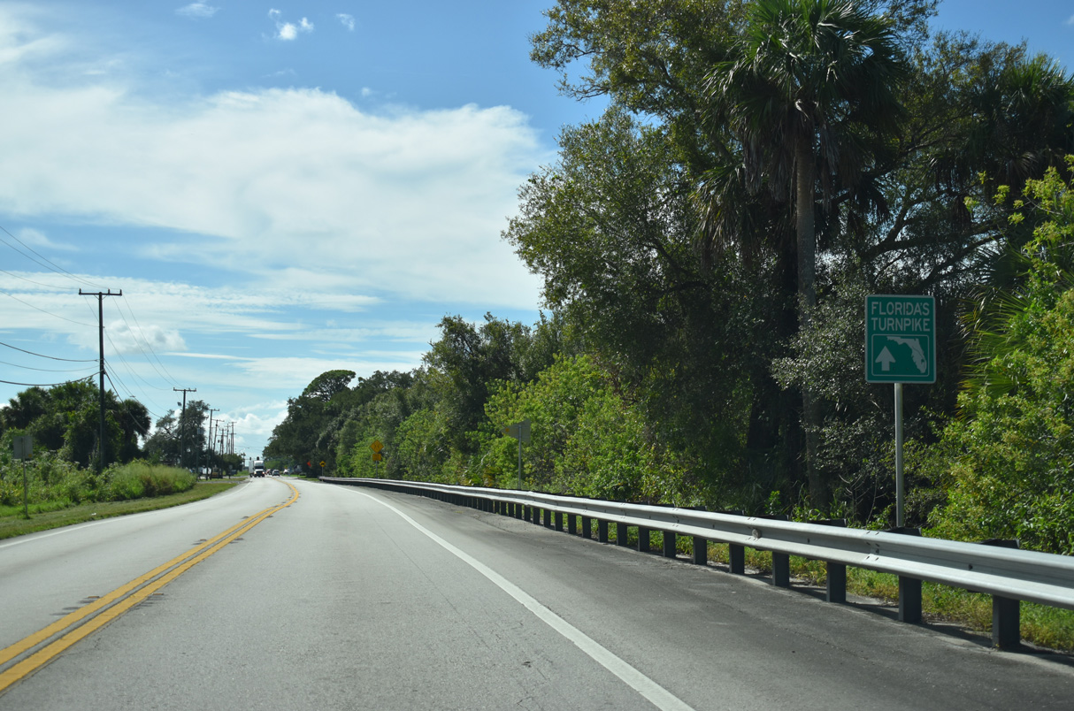
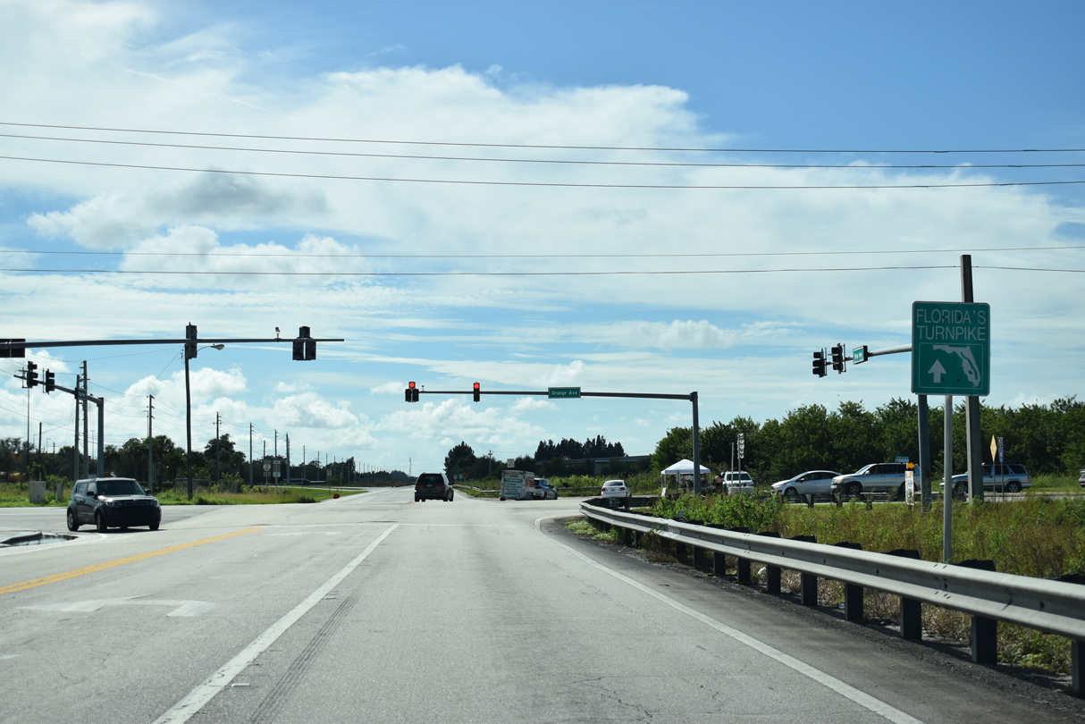
Florida State Road 713 (Kings Highway) travels 10.20 miles north from the interchange joining Florida's Turnpike with SR 70 (Okeechobee Road) at Fort Pierce to U.S. 1 east of Lakewood Park.
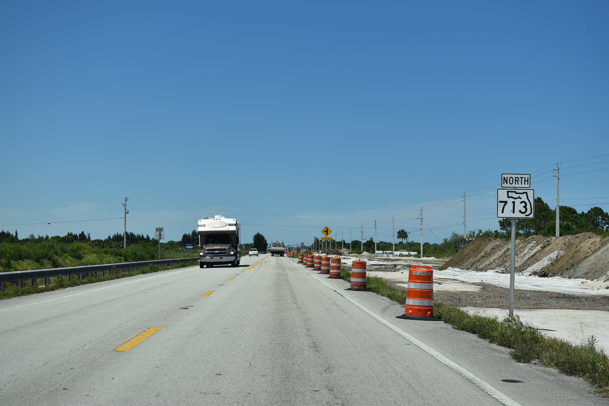
Construction started on September 17, 2018 widens SR 713 north from SR 70 (Okeechobee Road) to SR 68 (Orange Avenue) and the nearby overpasses for Interstate 95. Costing $45.22 million, the project rebuilds SR 713 from a rural two lane road to a four lane divided highway with a 30 foot wide median. Work includes relocating Canal C-40 and C-32, as well as Kings Highway at the Turnpike access road from SR 70. A 12 foot wide multi use path will be built along the west side of Kings Highway in addition to buffered bike lanes and six foot wide sidewalks in both directions. The 3.417 mile long project runs through Winter 2022.1
A separate project underway from June 12, 2017 to Summer 2019 improved SR 713 (Kings Highway) at the intersection with SR 614/CR 614 (Indrio Road). $17.8 million in construction widened Kings Highway and Indrio Road to a four lane, divided highway and added a 12 foot wide multi use path within the vicinity of their intersection.2
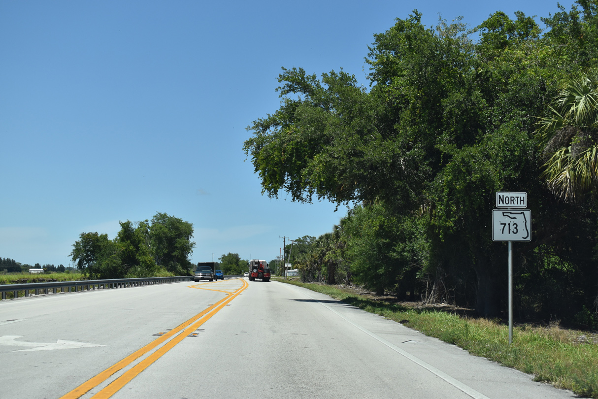
 North
North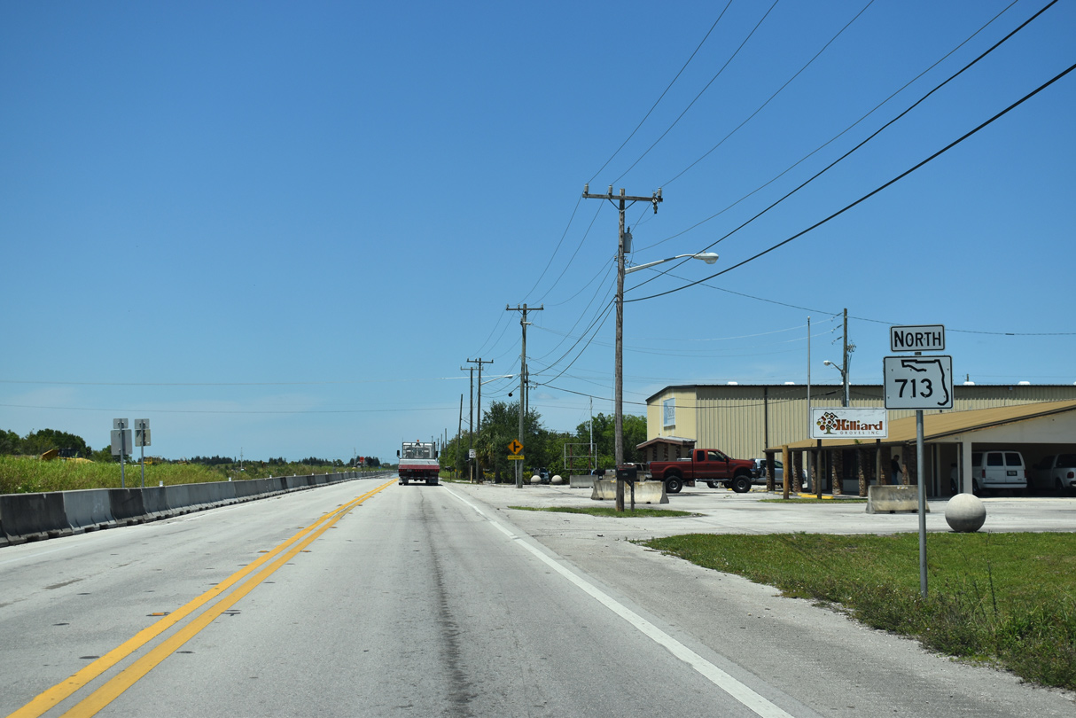
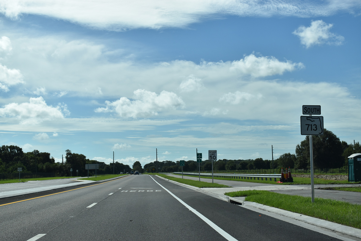
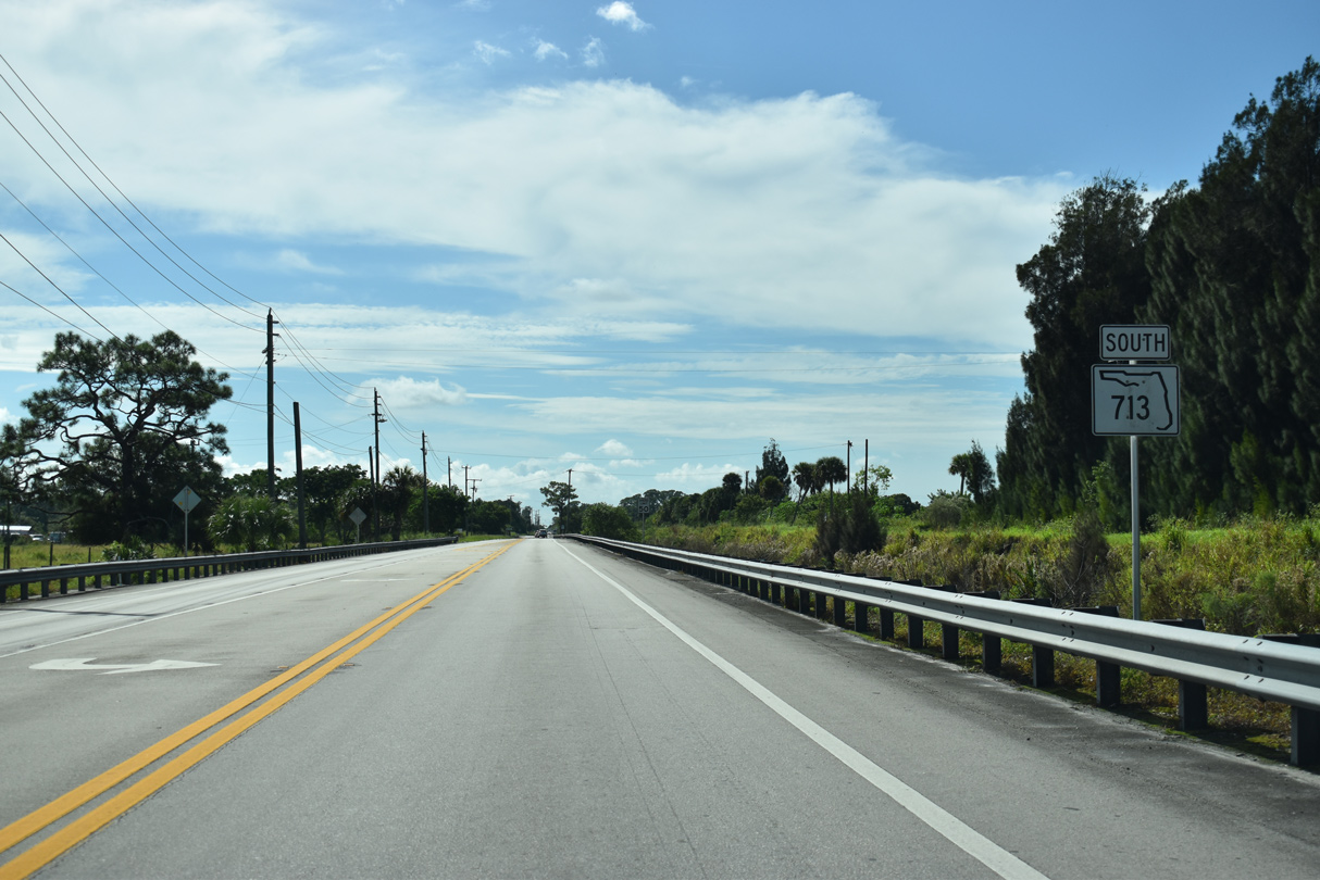
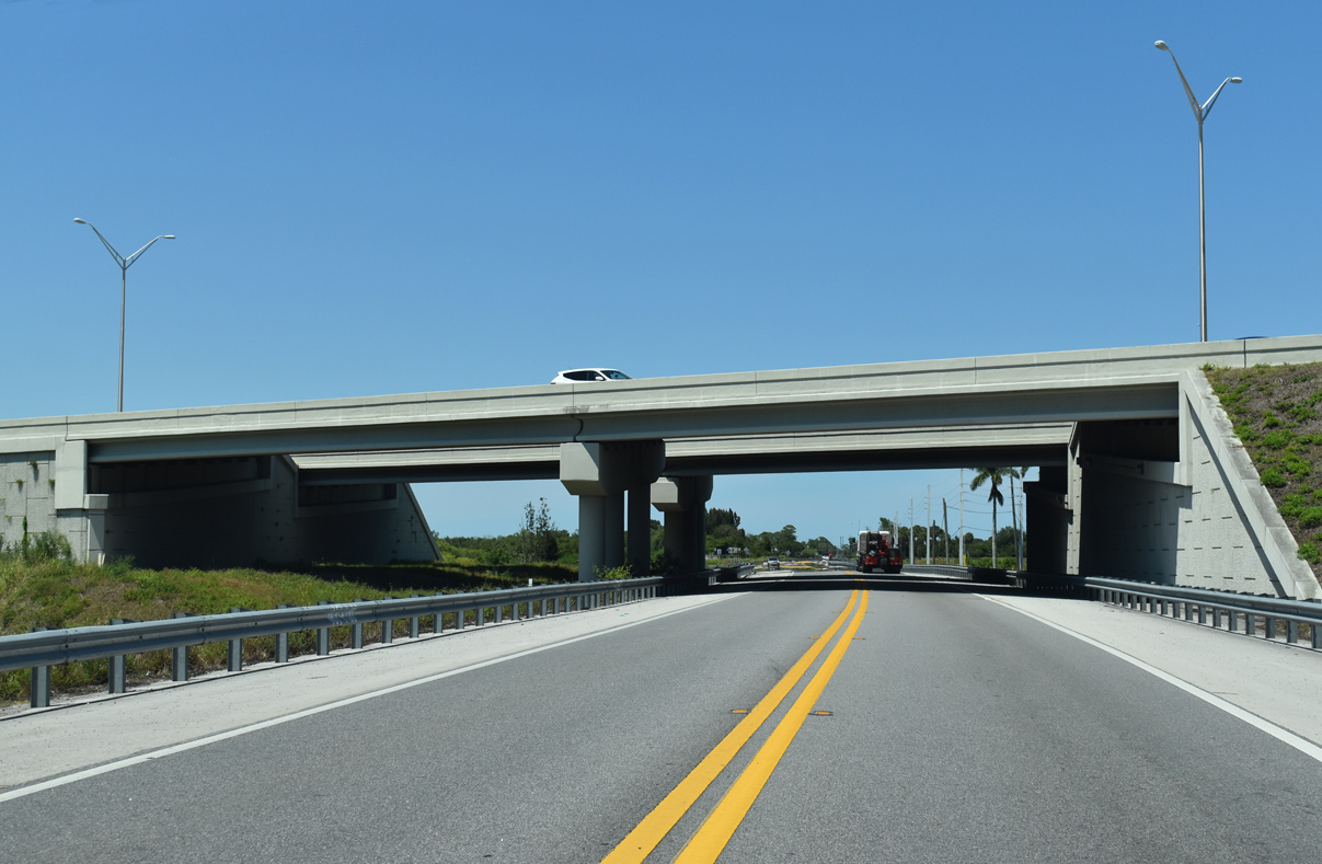
Heading north from SR 70 (Okeechobee Road) and Florida's Turnpike along SR 713 (Kings Highway).
04/24/19
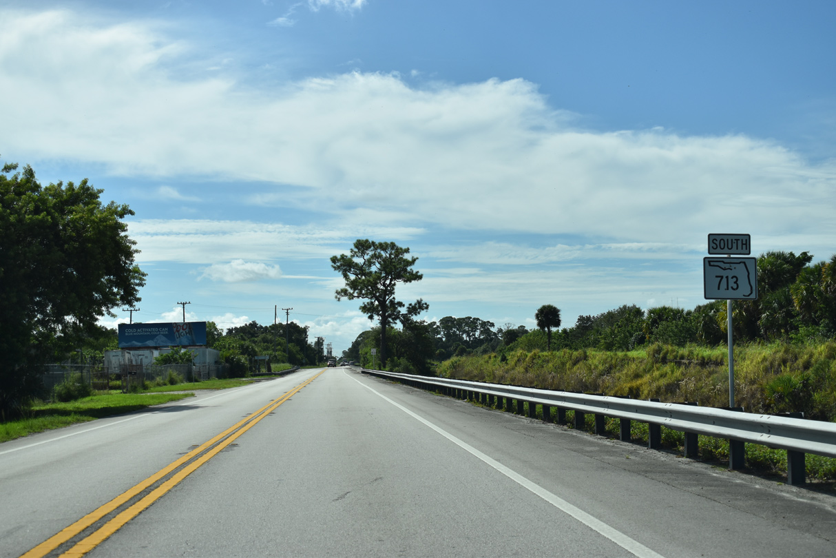
SR 713 (Kings Highway) north at Picos Road west.
04/24/19
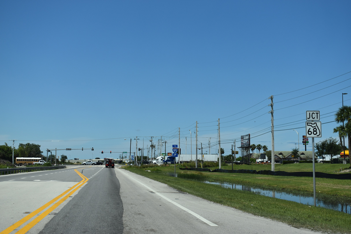
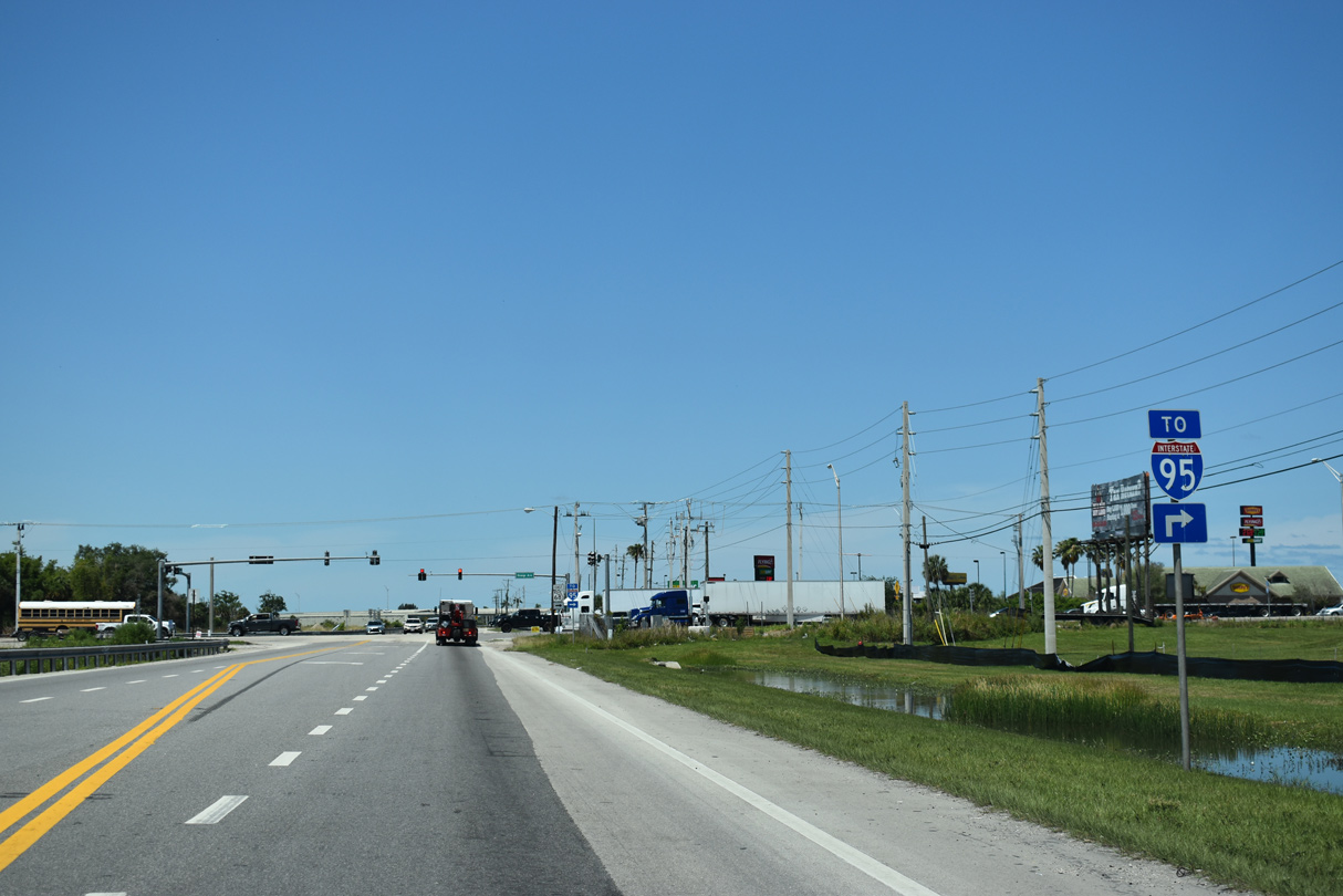
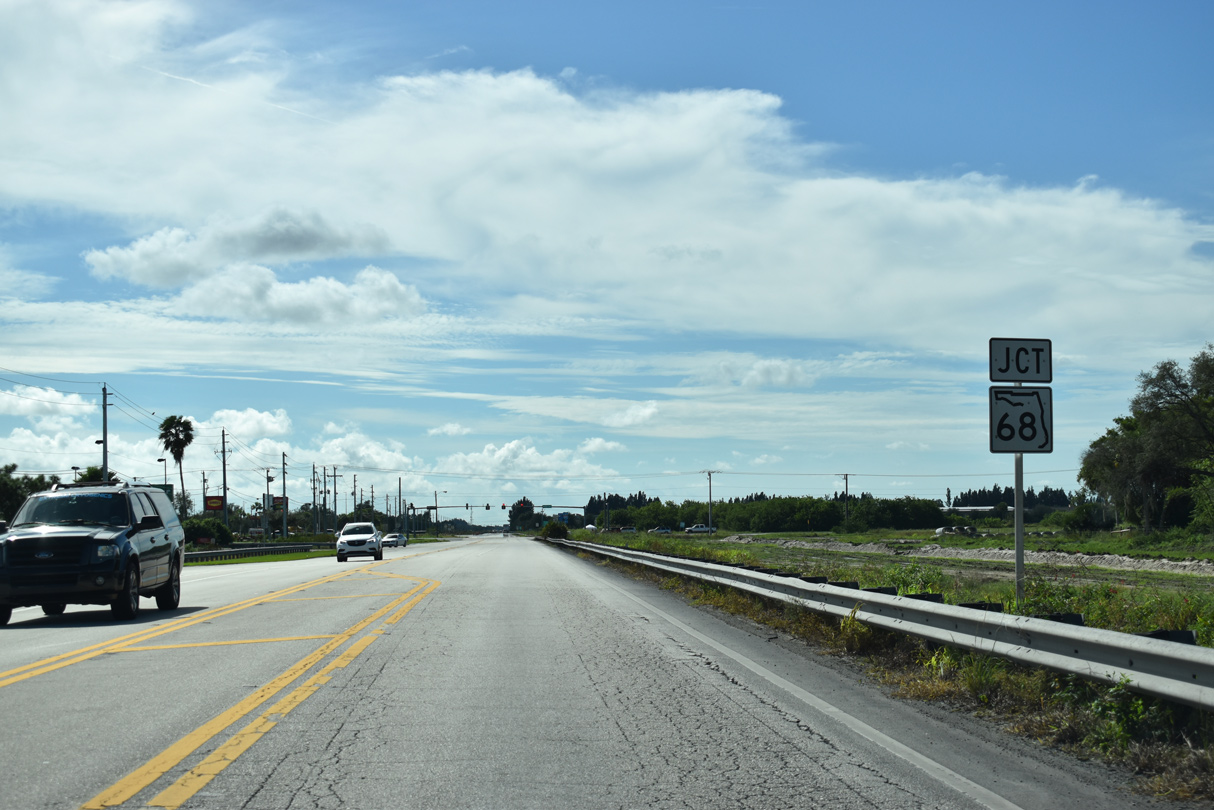
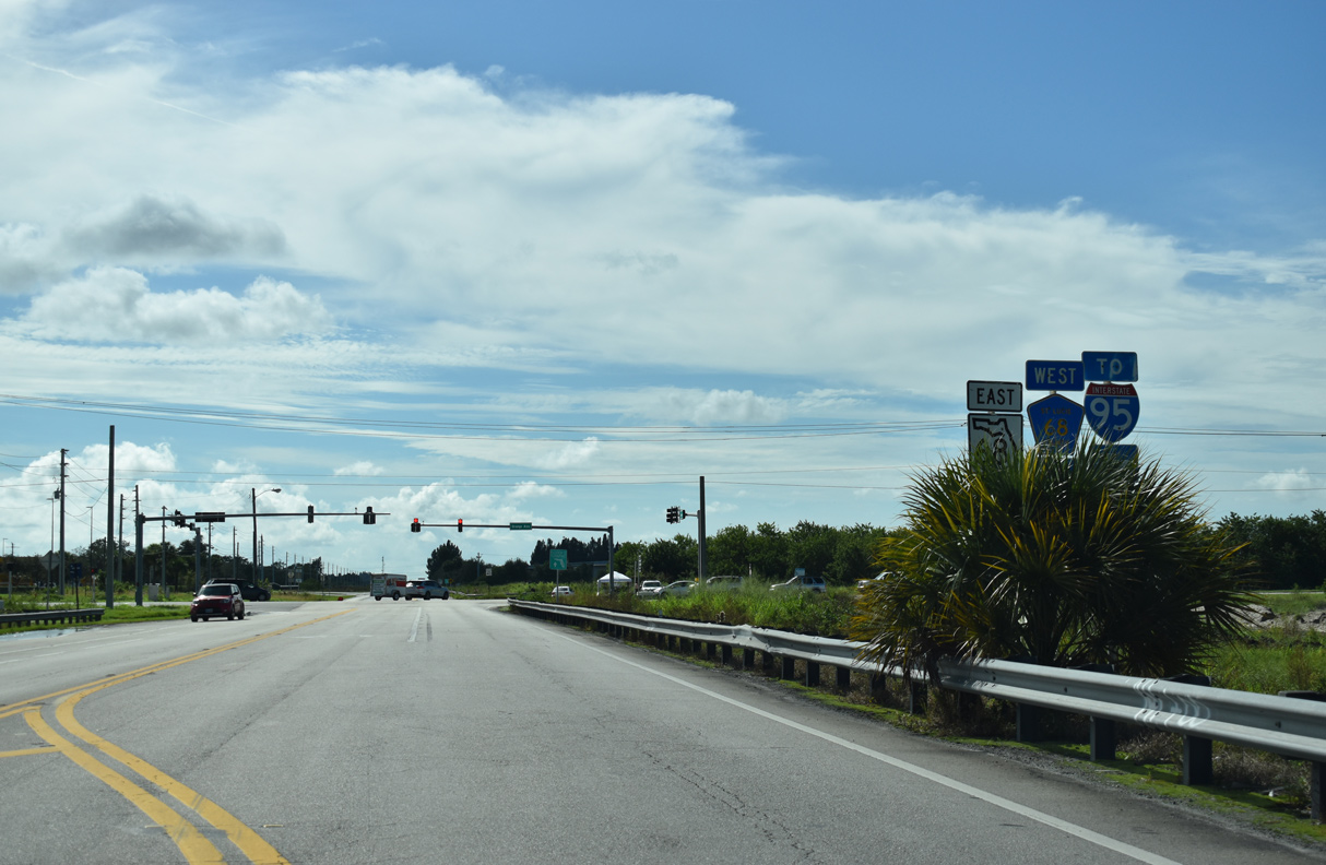
SR 713 converges with SR 68 (Orange Avenue) adjacent to a six-ramp parclo interchange with Interstate 95.
04/24/19
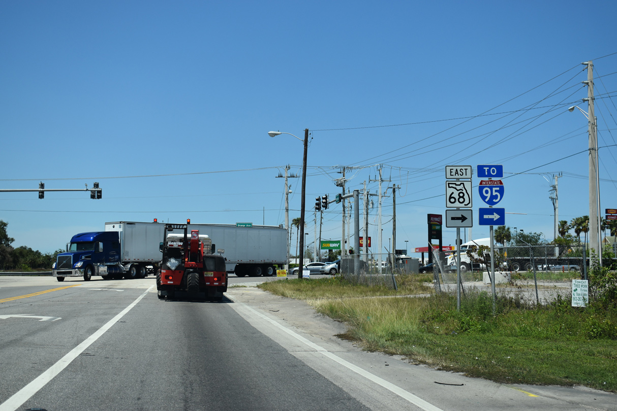
County Road 68 (Orange Avenue) east becomes SR 68 at SR 713. SR 68 leads directly to Downtown Fort Pierce at U.S. 1.
04/24/19
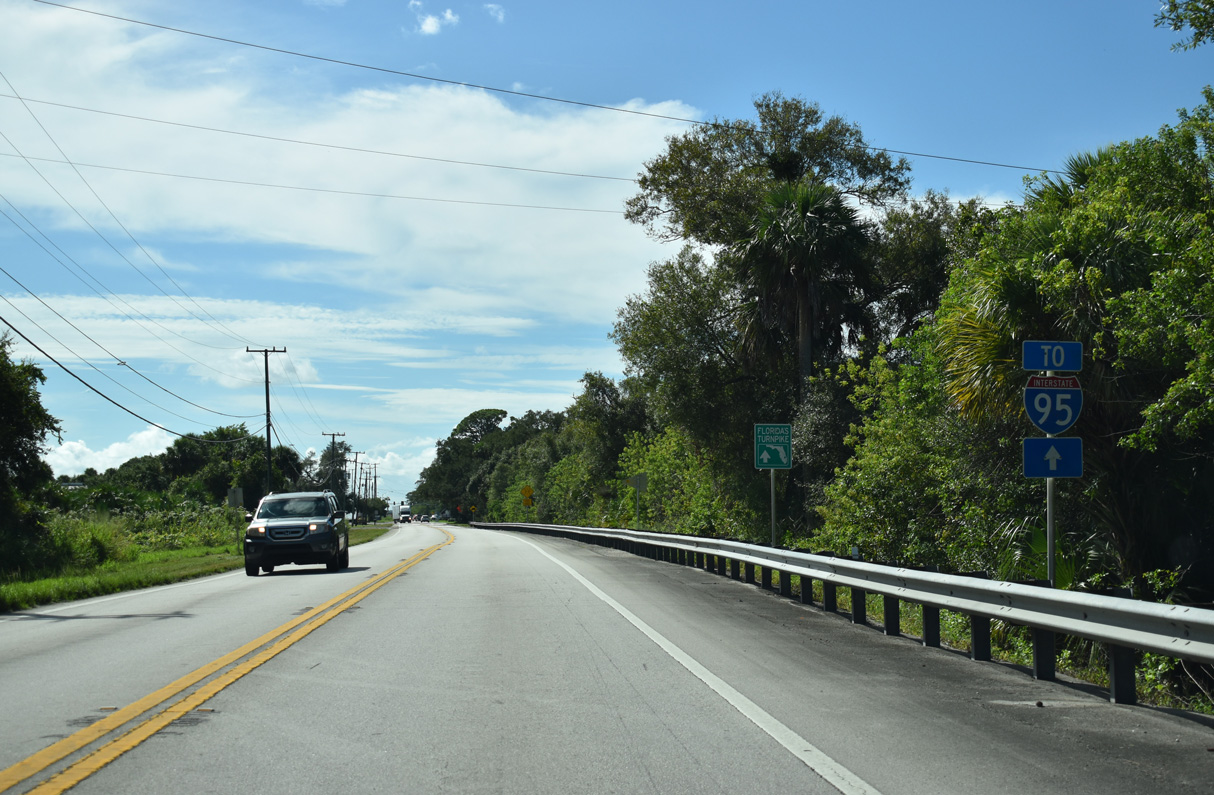
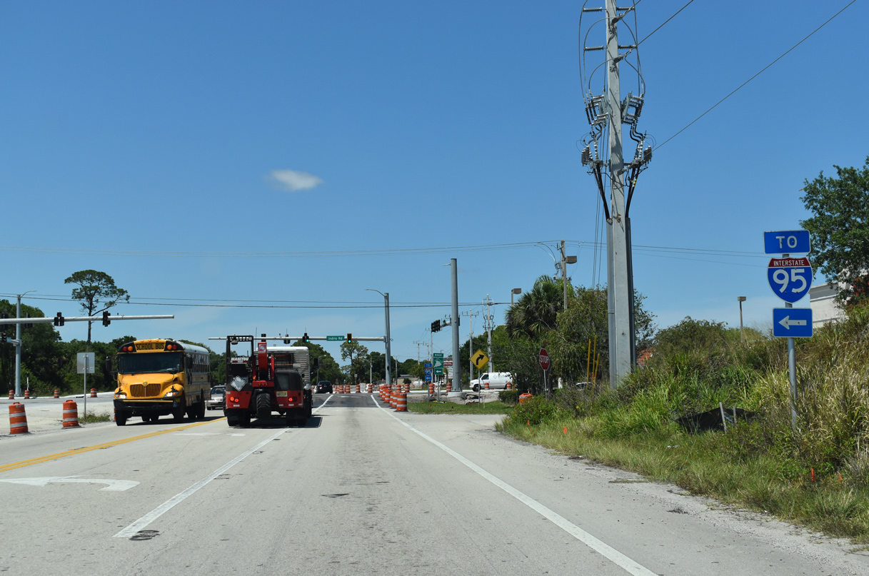
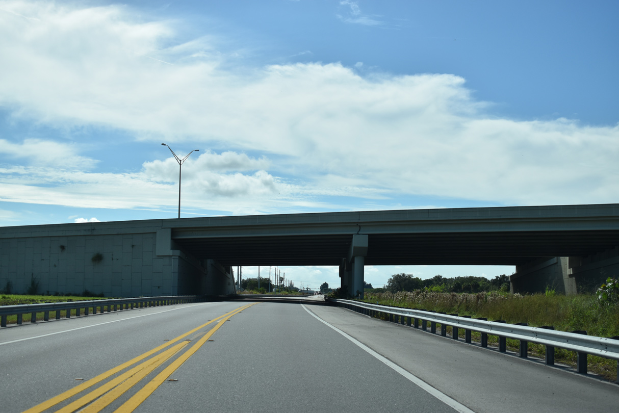
SR 713 passes under I-95 with no direct access.
04/24/19
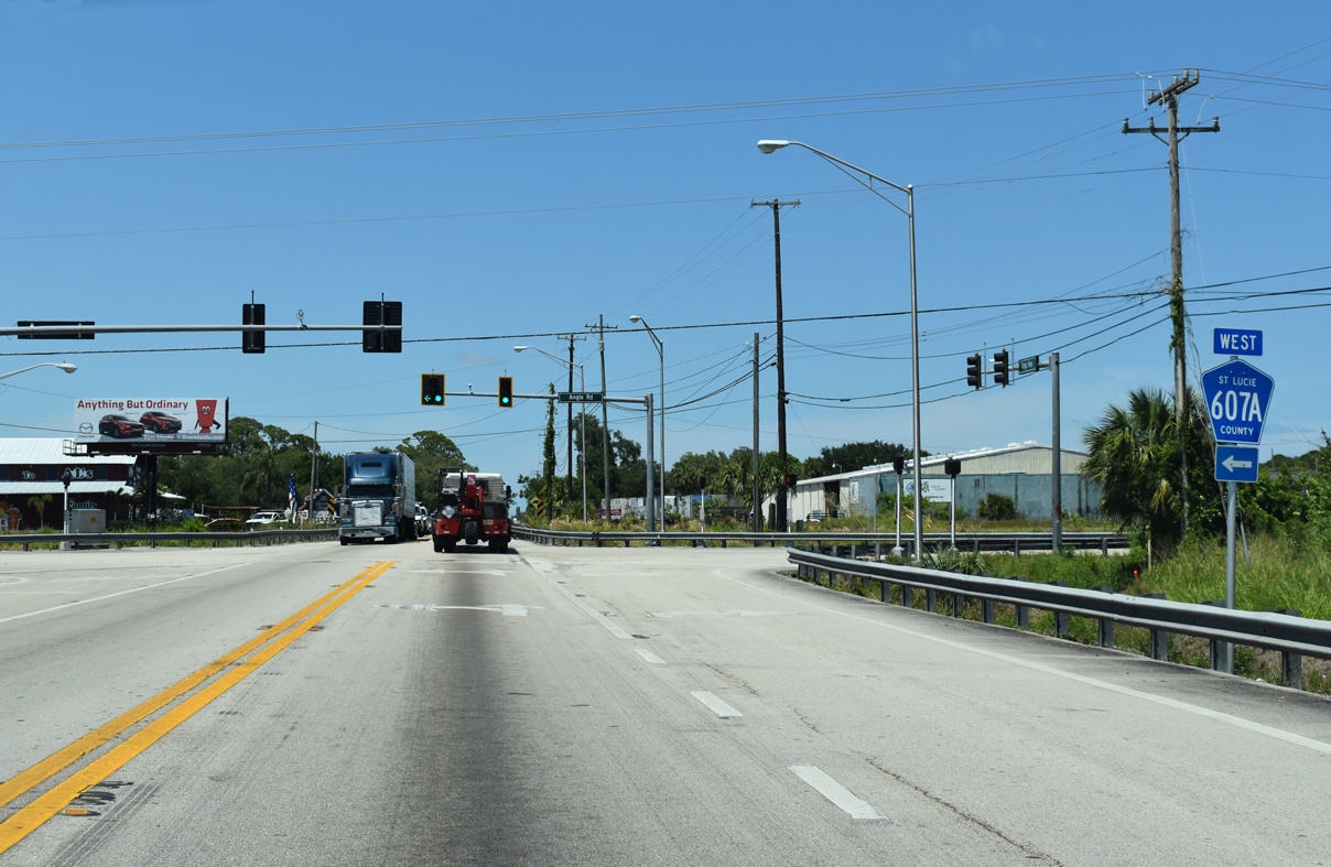
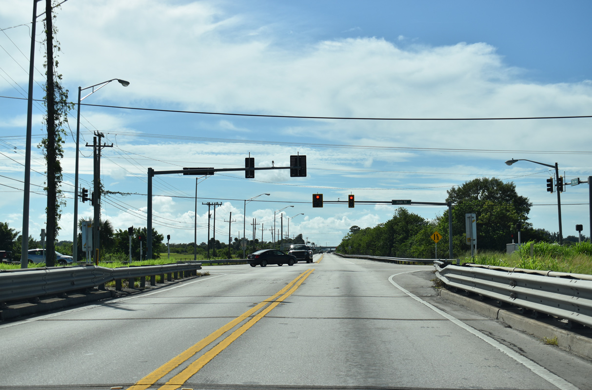
Angle Road (CR 607A) arcs northwest from SR 68 (Orange Avenue) in Fort Pierce to parallel Belcher Canal west across SR 713 (Kings Highway).
04/24/19
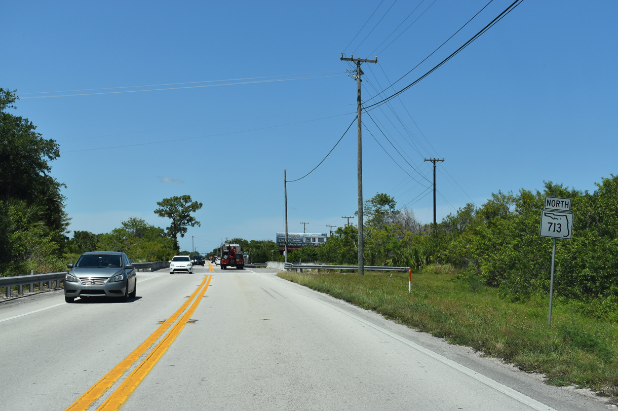
Confirming marker posted north after CR 607A (Angle Road) and Kings Highway Industrial Park.
04/24/19
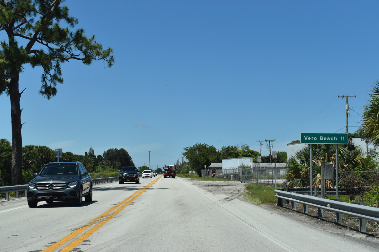
The city of Vero Beach lies 11 miles north via SR 713 and U.S. 1.
04/24/19
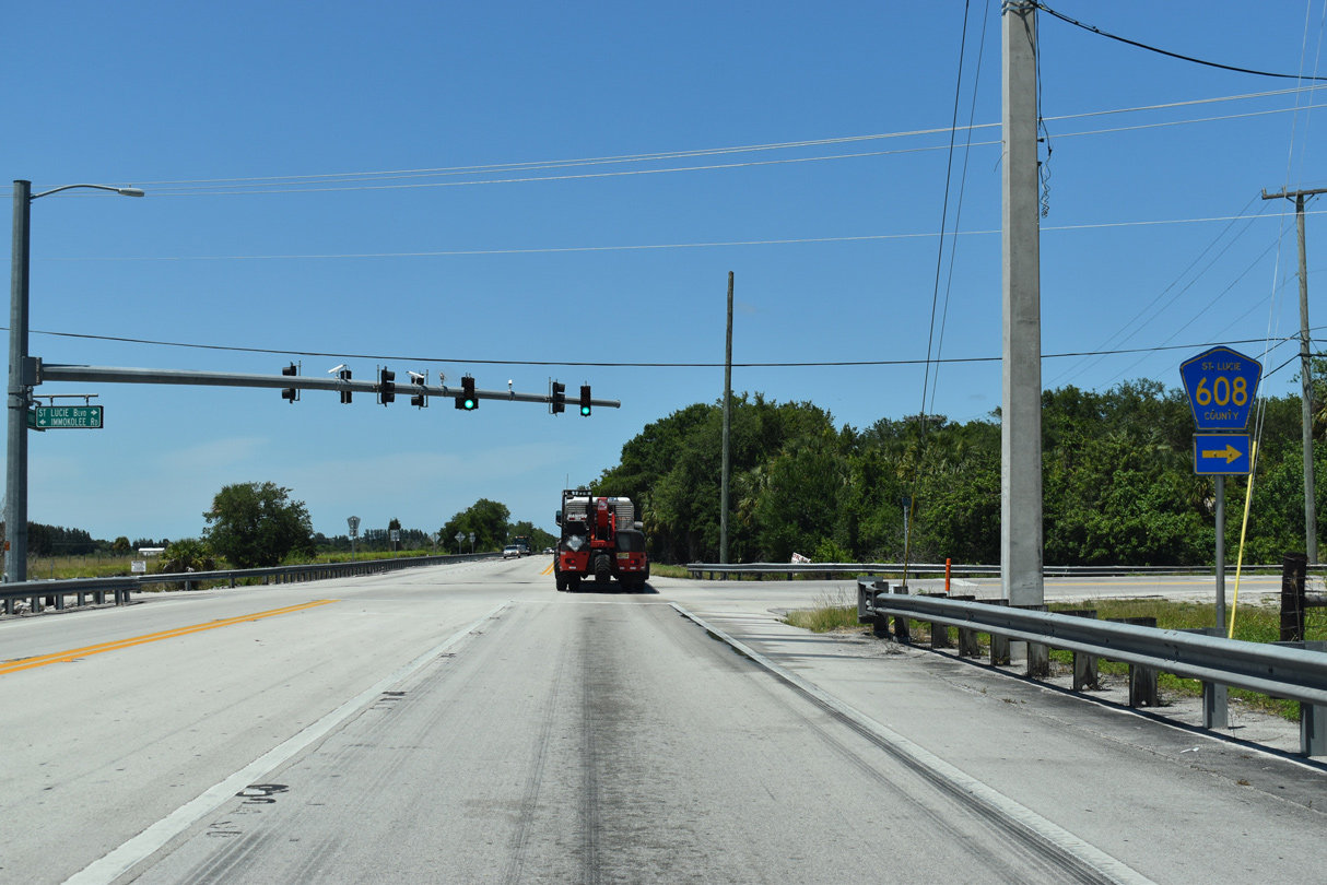
County Road 608 stems east from SR 713 (Kings Highway) 2.99 miles along St. Lucie Boulevard to SR 615 (25th Street) and SR 608.
04/24/19
SR 713 advances west of Treasure Coast International Airport and Business Park (FPR), 2.5 miles from St. Lucie Boulevard to Indrio Road (SR 614/CR 614).
04/24/19
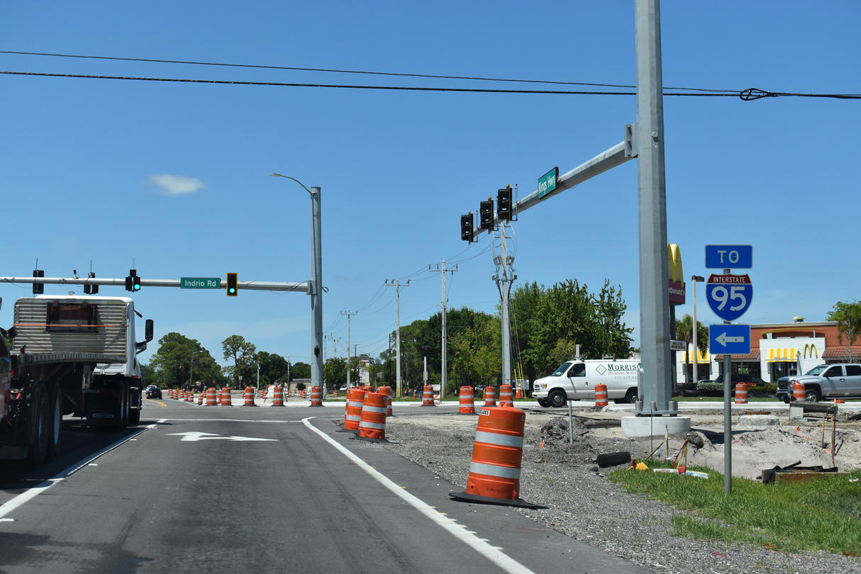
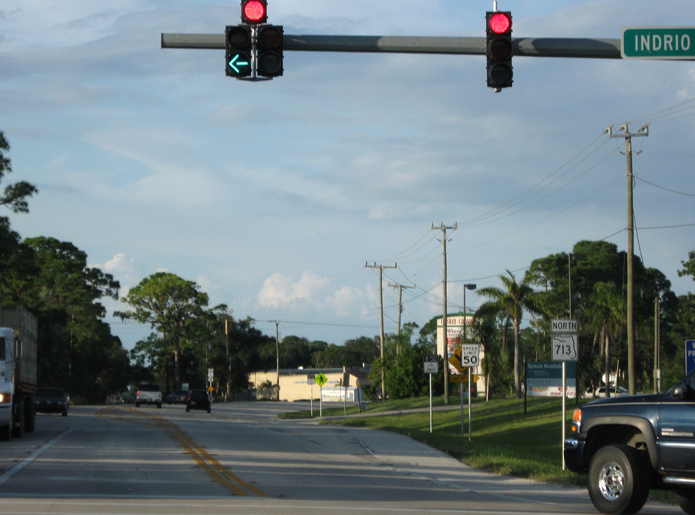
Indrio Road constitutes an arterial route leading SR 614 west from SR 713 at Lakewood Park 3.58 miles to Interstate 95.
04/24/19
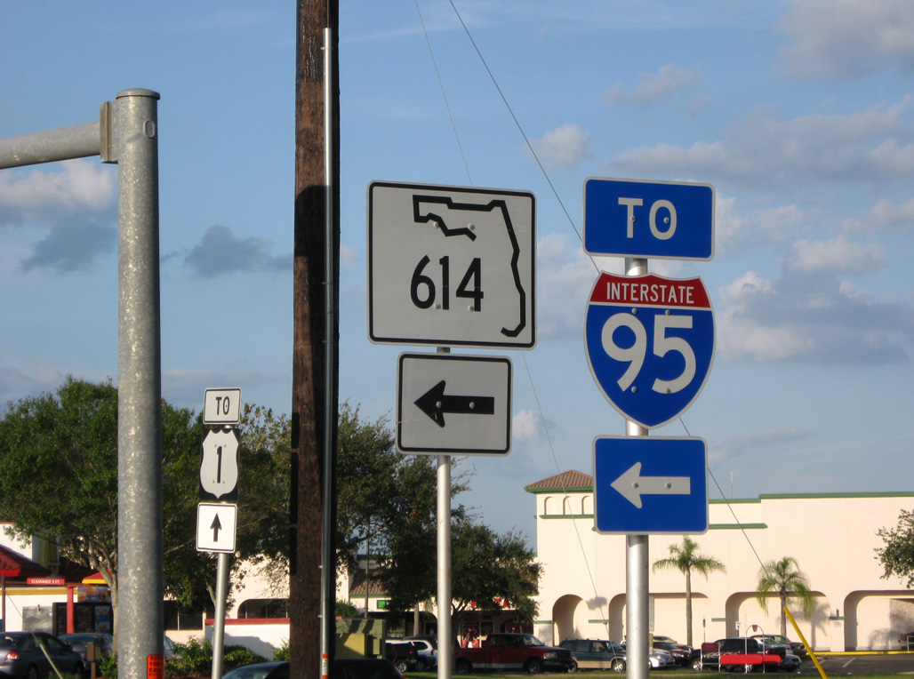
SR 614 becomes unsigned CR 614 east of SR 713 along Indrio Road to U.S. 1 at Indrio.
10/18/08
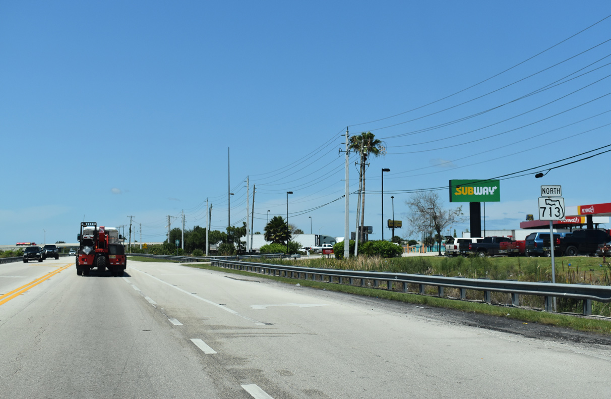
SR 713 curves east and separates with Kings Highway along a commercialized stretch north of Indrio Road.
10/18/08
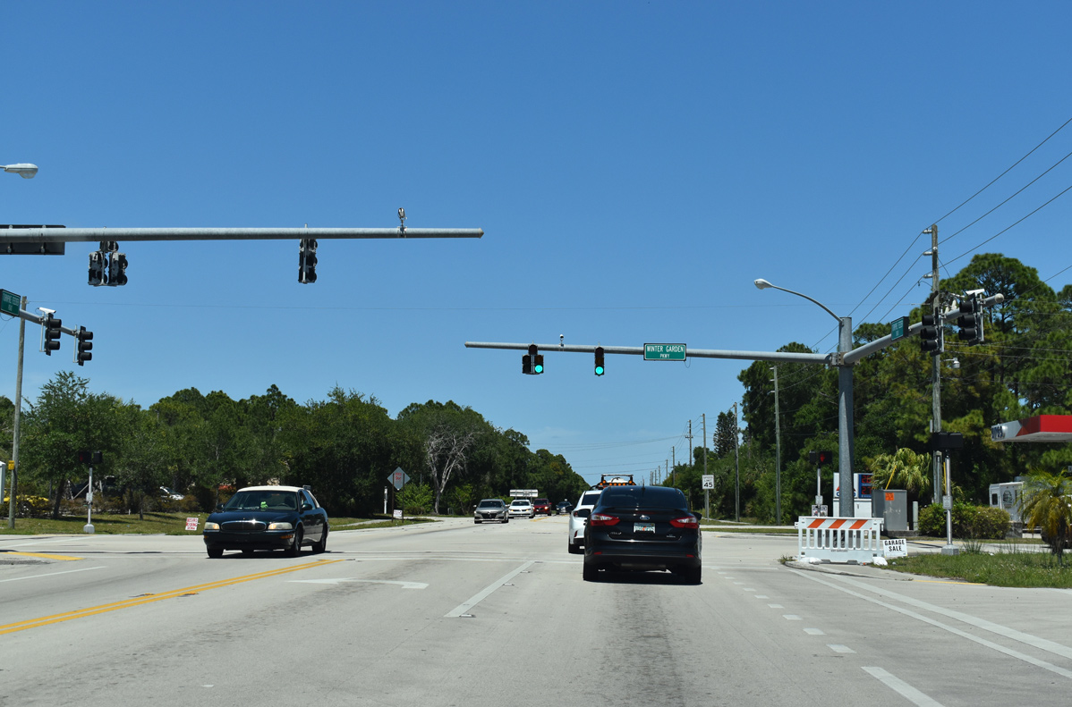
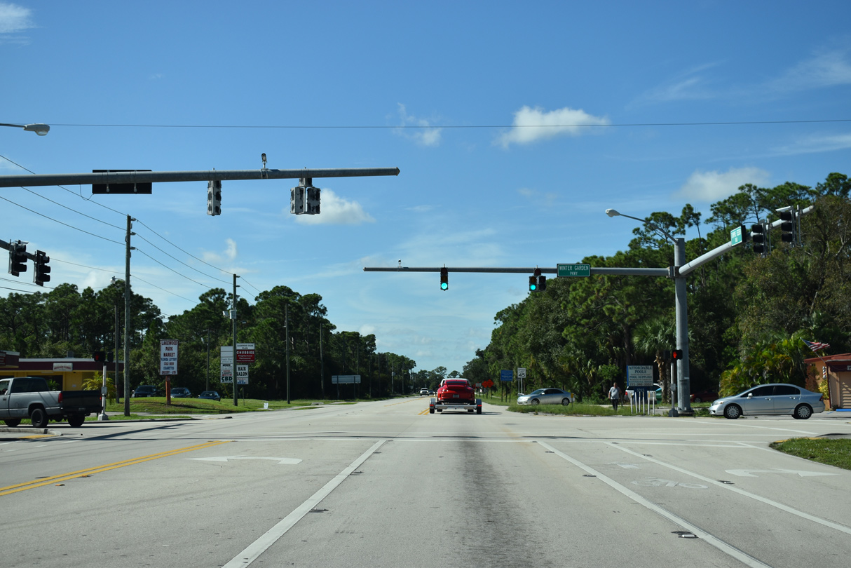
SR 713 proceeds northeast along Turnpike Feeder Road to Winter Garden Parkway in Lakewood Park.
04/24/19
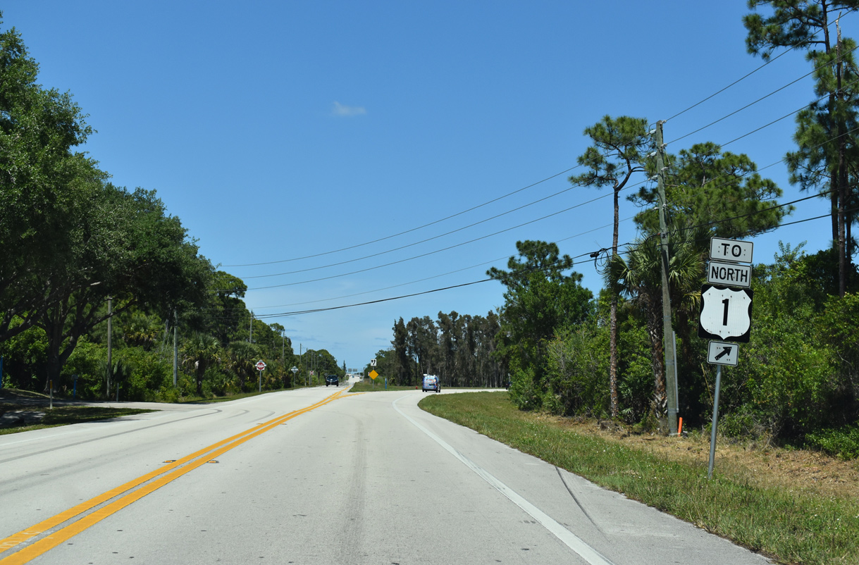
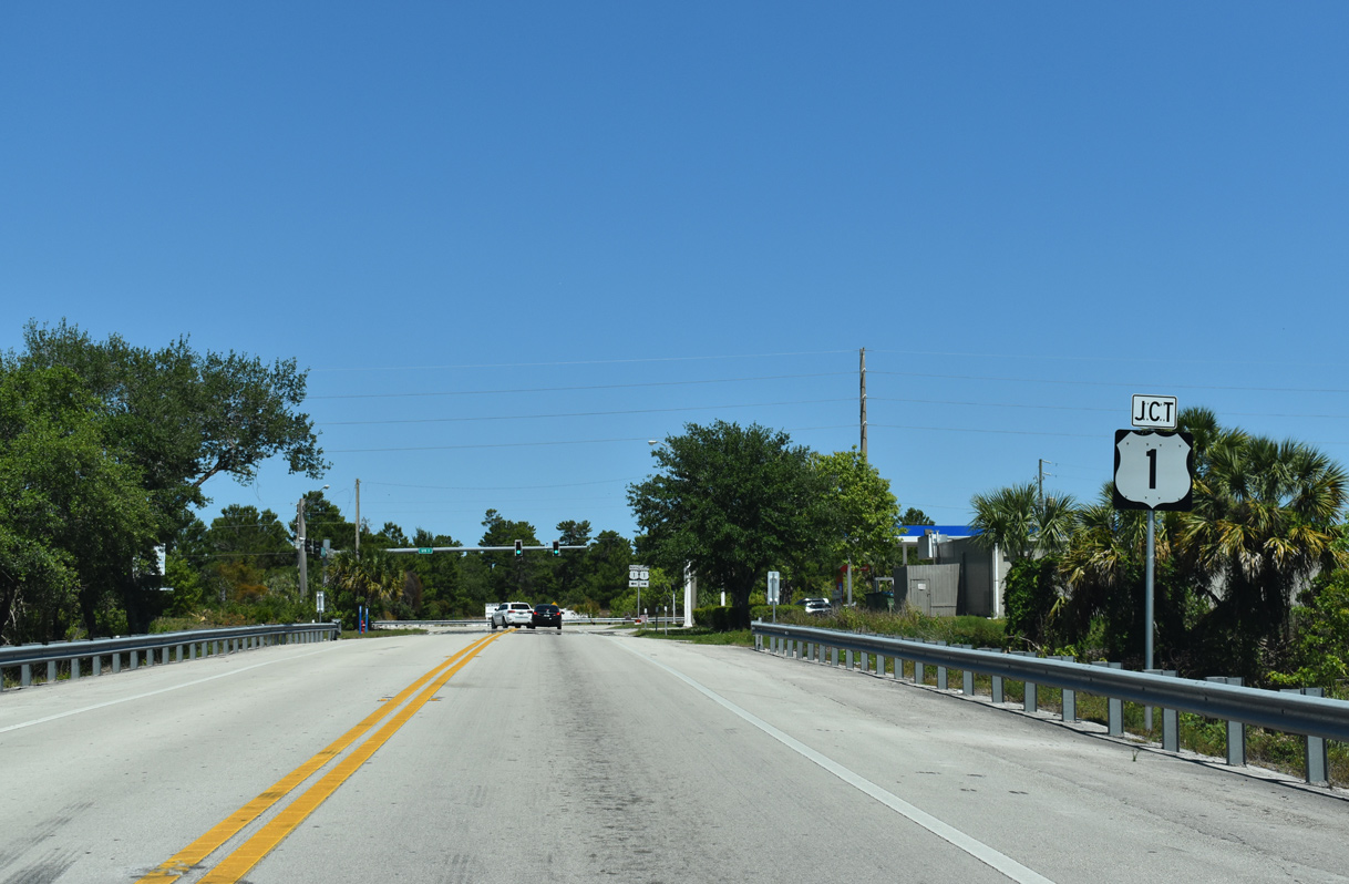
The north end of State Road 713 splits into one way access roads connecting with U.S. 1.
04/24/19
U.S. 1 heads north from Fort Pierce to the Town of St. Lucie Village and SR 713 just ahead of the Indian River County line.
04/24/19
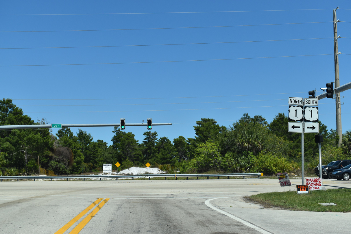
Northward from SR 713, U.S. 1 crosses the Florida East Coast (FEC) Railway and parallel Old Dixie Highway (CR 605) to Oslo and Vero Beach.
04/24/19
South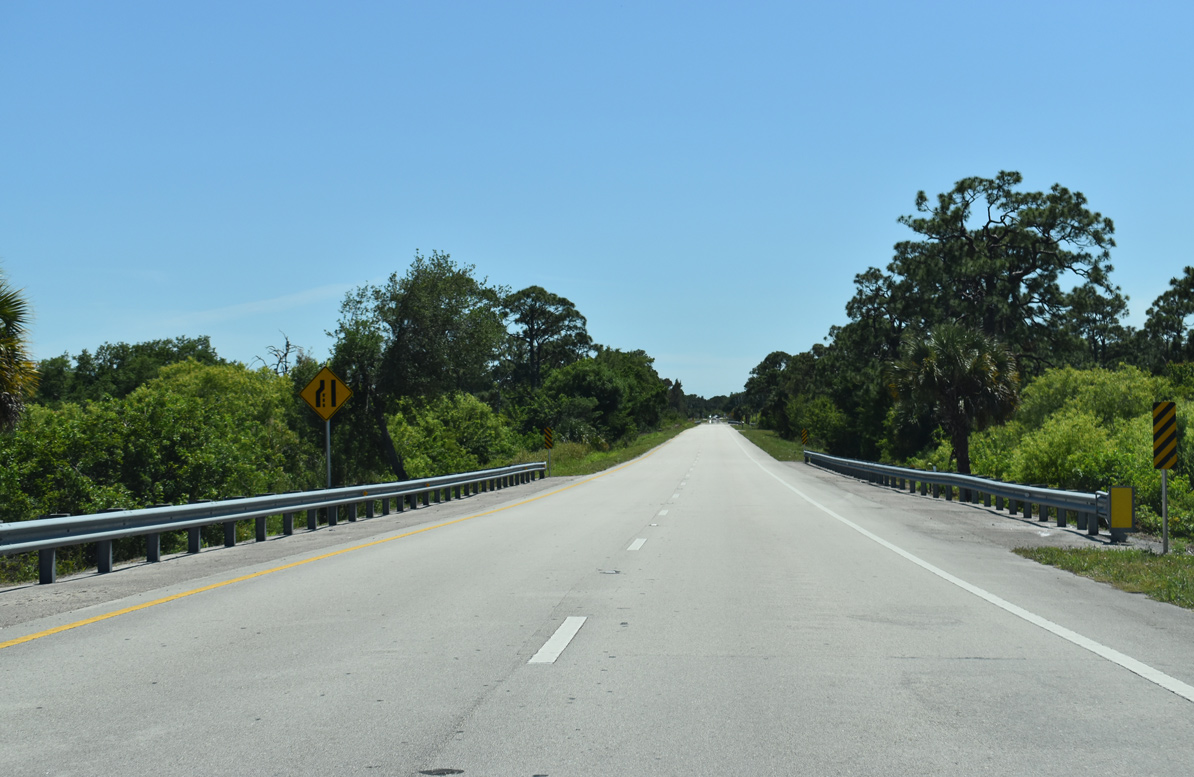
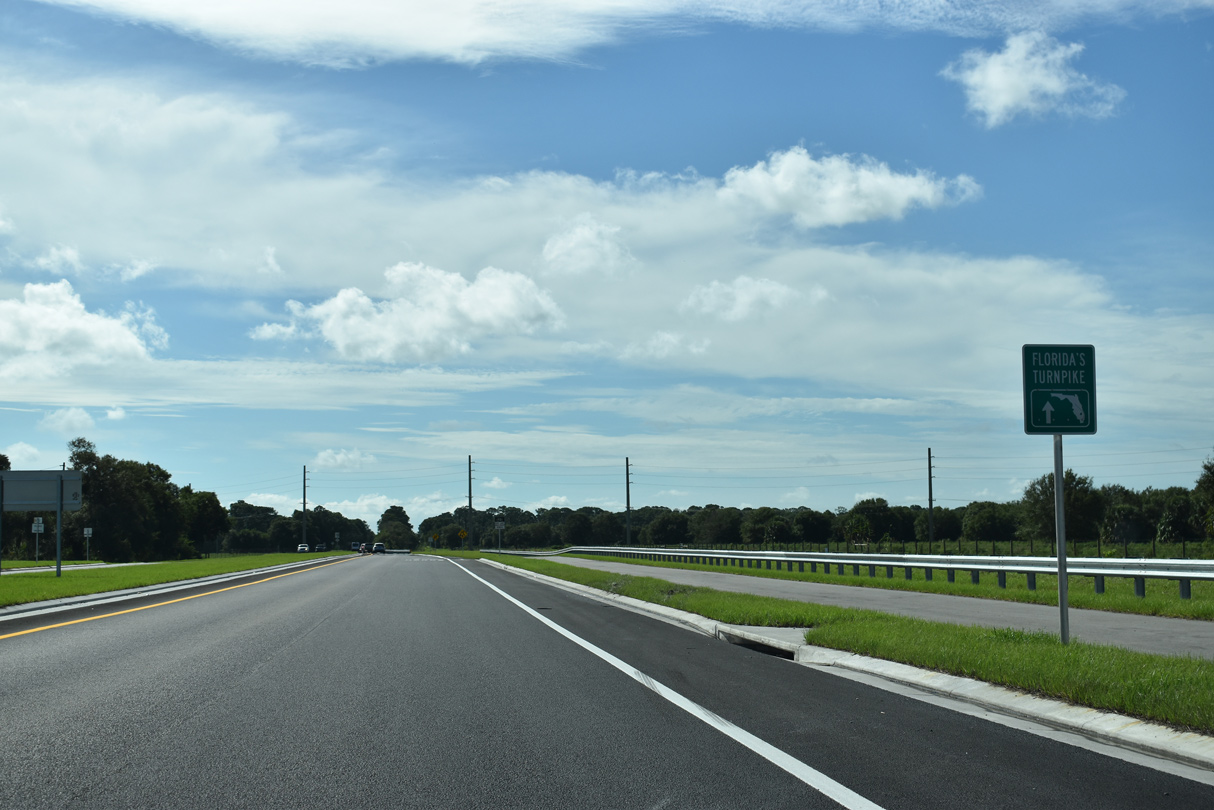
SR 713 (Turnpike Feeder Road) branches southwest from U.S. 1 across an area of wetlands just south of the Indian River County line.
04/24/19
The southbound roadway for SR 713 meets the northbound connector to U.S. 1 ahead of Spanish Lakes Boulevard.
04/24/19
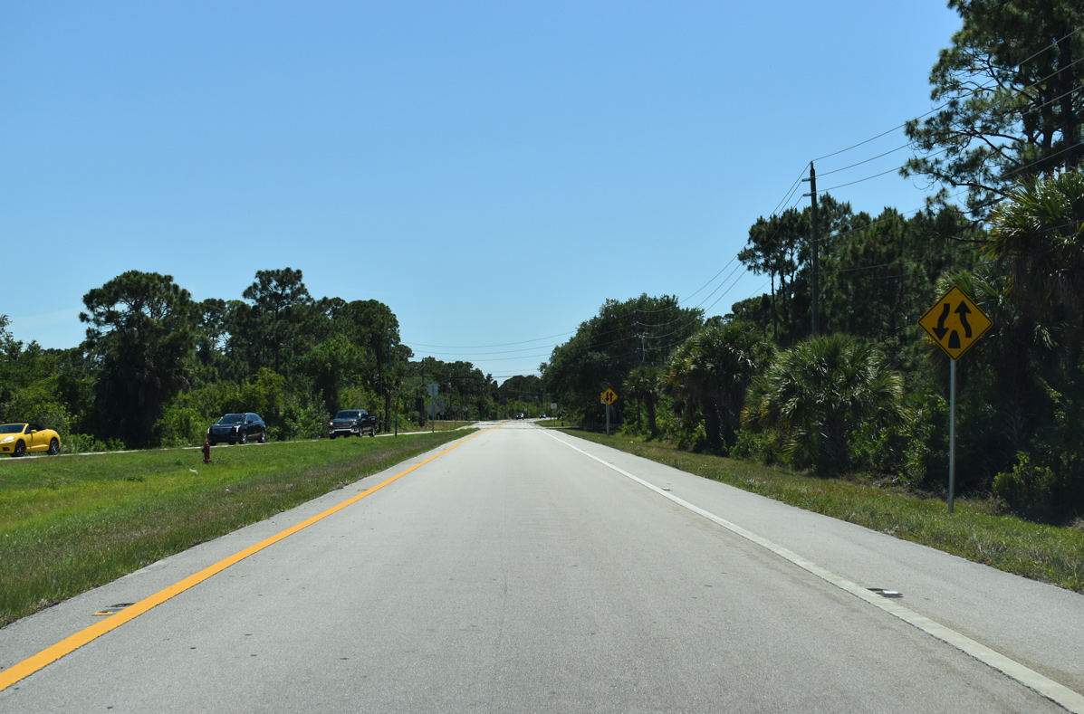
SR 713 (Turnpike Feeder Road) heads southwest to Winter Garden Parkway at the Lakewood Park community.
10/27/19
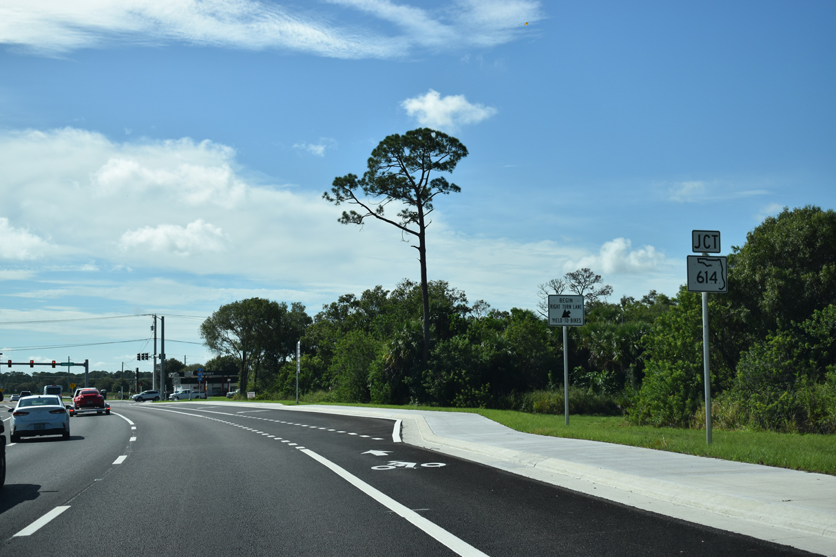
SR 713 transitions onto Kings Highway south ahead of SR 614 (Indrio Road).
10/27/19
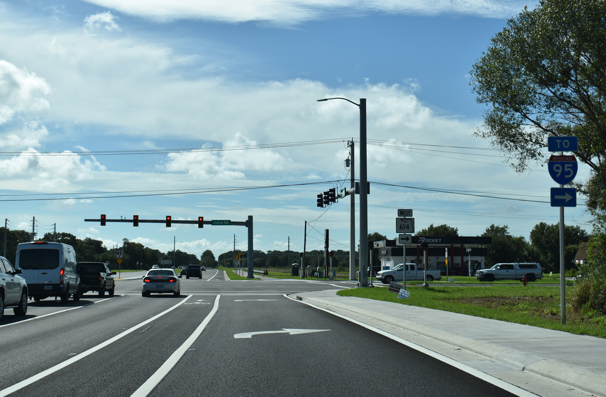
SR 614 (Indrio Road) leads 3.2 miles west to a rural diamond interchange (Exit 138) with Interstate 95.
10/27/19
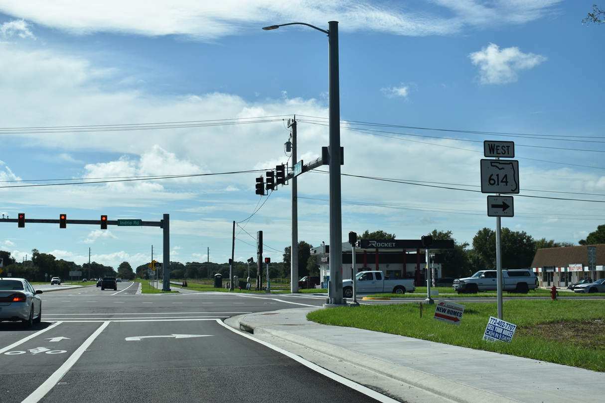
SR 614 runs 3.58 miles west from SR 713 (Kings Highway) to a point just beyond Interstate 95. CR 614 continues Indrio Road east 2.62 miles to U.S. 1 at Indrio.
10/27/19
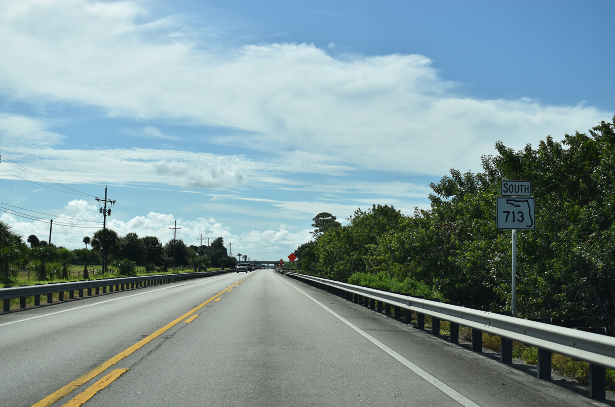
The first confirming marker for SR 713 south.
10/27/19
SR 713 (Kings Highway) extends 7.5 miles south from SR 614/CR 614 (Indrio Road) to Florida's Turnpike.
10/27/19
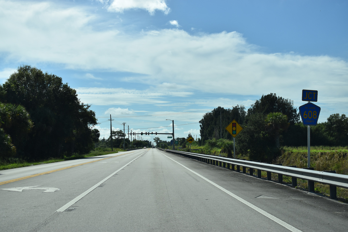
CR 608 (St. Lucie Boulevard) intersects SR 713 (Kings Highway) across from Immokolee Road.
10/27/19
CR 608 (St. Lucie Boulevard) heads 2.99 miles east to Treasure Coast International Airport (FPR) and SR 615 at Fort Pierce North.
10/27/19
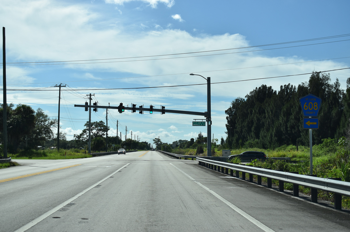
Confirming marker posted south of CR 608 (St. Lucie Boulevard).
10/27/19
A second reassurance shield for SR 713 posted south of CR 608.
10/27/19
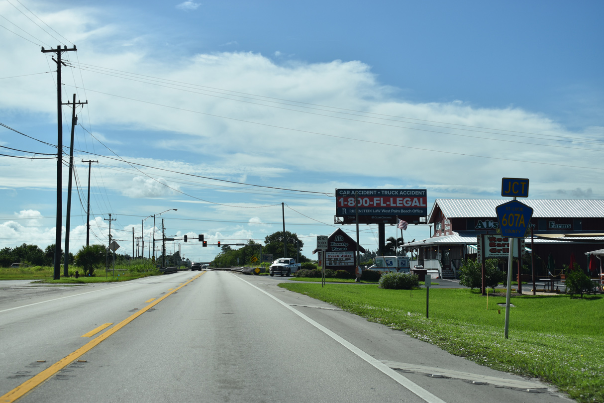
Trailblazers for I-95 and Florida's Turnpike precede CR 607A (Angle Road) along SR 713 south at Kings Highway Industrial Park.
10/27/19
CR 607A (Angle Road) arcs 3.22 miles northwest from SR 68 (Orange Avenue) in Fort Pierce to SR 713 (Kings Highway).
10/27/19
SR 713 crosses Belcher Canal just ahead of CR 607A. CR 607A (Angle Road) continues 1.28 miles west to CR 603 (Johnston Road).
10/27/19
FDOT recorded 15,900 vehicles per day (vpd) along SR 713 (Kings Highway) south of CR 607A in 2021.
10/27/19
Interstate 95 crosses SR 713 (Kings Highway) southeast ahead of Exit 131 with SR 68 (Orange Avenue).
10/27/19
SR 68 (Orange Avenue) comprises a 4.50 mile long route west from U.S. 1 in Downtown Fort Pierce to SR 713 (Kings Highway).
10/27/19
SR 68 (Orange Avenue) becomes CR 68 west 25.25 miles to U.S. 441 in Okeechobee County.
10/27/19
SR 713 (Kings Highway) extends another 2.4 miles south from SR 68/CR 68 to the Turnpike access road at SR 70 (Okeechobee Road).
10/27/19
References:
- Kings Highway (State Rd 713) from South of State Rd 70 to North of the I-95 Overpass. Florida Department of Transportation (FDOT) - District 4, web page.
- Kings Highway and Indrio Road Intersection Improvements.
https://www.stlucieco.gov/departments-services/ a-z/public-works/engineering-division-/ engineering-projects/kings-highway-and- indrio-road-intersection-improvementsSt. Lucie County, Florida, government web site.
Photo Credits:
- Alex Nitzman: 10/18/08, 04/24/19, 10/27/19
Connect with:
Page Updated Monday October 10, 2022.