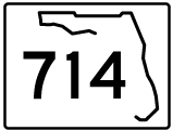
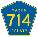
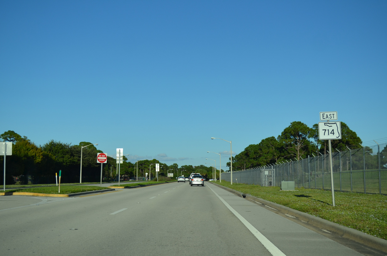
State Road 714 extends 12.39 miles east from County Road 714 (Martin Highway) at Interstate 95 to SR A1A (Ocean Boulevard) in the Martin County seat of Stuart. CR 714 bee lines 17.42 miles east from SR 710 (Warfield Boulevard) along Martin Highway across rural western Martin County to I-95.
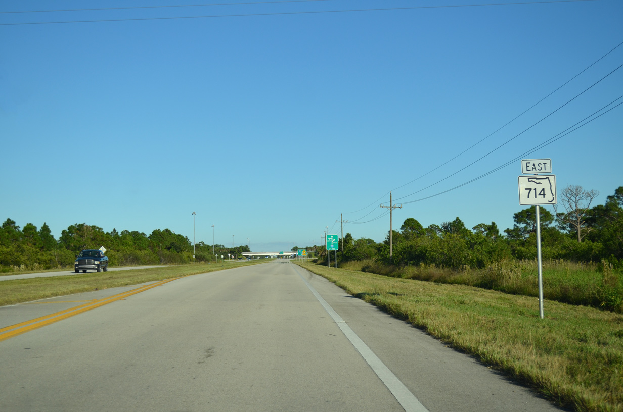
SR 714 (Martin highway) leads east with two lanes through a rural street grid between I-95 at Exit 110 and industrial parks by Florida's Turnpike at Exit 133. Turning north onto Martin Downs Boulevard from the Turnpike access road to Martin Highway, SR 714 expands to four lanes to the Martin Downs golf course development. Martin Downs Boulevard runs east from the commercialized intersection with High Meadow Avenue by several subdivisions to Mapp Road (unsigned CR 714). SR 714 proceeds east from there across the South Fork of the St. Lucie River onto Monterey Road at SR 76 (Kanner Highway) in the city of Stuart.
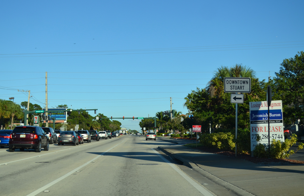
Heading 3.17 miles northeast from Palm City Road, SR 714 (Monterey Road) curves north across U.S. 1 to CR A1A and then along the periphery of Witham Field (SUA) to SR A1A (Beach Boulevard). SR A1A resumes east along Beach Boulevard from the end of SR 714 to the Sewells Point Bridge to Sewells Point while unsigned CR A1A lines Ocean Boulevard 1.75 miles west to a roundabout with SW Flagler Avenue in Downtown Stuart.
County Road 714 along Martin Highway east from Martin Downs Boulevard and Florida's Turnpike to Mapp Road is part of the former alignment of SR 714 through Palm City. SR 714 turned north along Mapp Road (CR 714) to Martin Downs Boulevard east across the St. Lucie River South Fork. An additional unsigned branch of CR 714 in Stuart provides a cut off from SR 714 (Monterey Road) along SE Monterey Road 0.35 miles to U.S. 1 (Federal Highway).

East

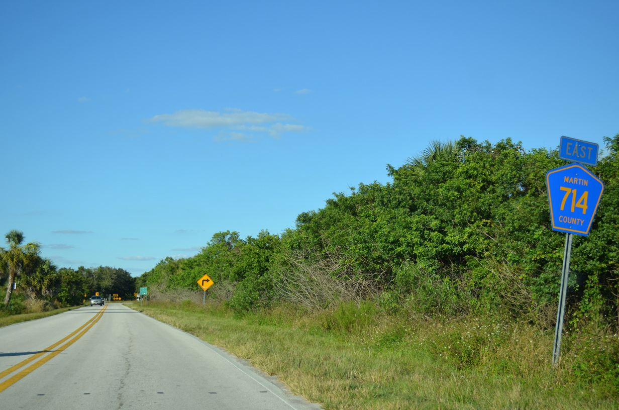
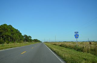
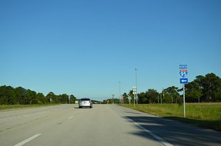
CR 714 (Martin Highway) branches east from SR 710 by the Okeechobee County line. This confirming marker was replaced by 2016 and removed by 2021.
10/17/14

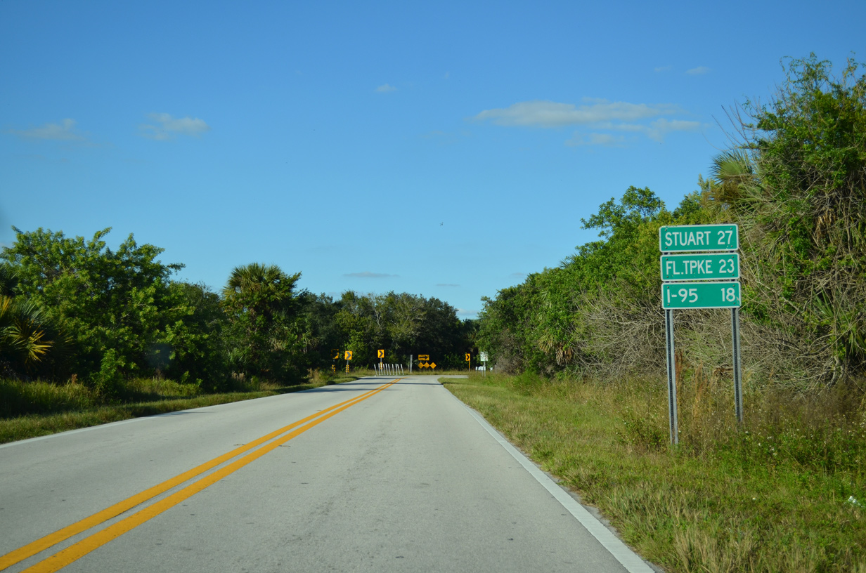
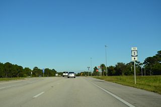
Distance signage posted at the eastern turn of Martin Highway near SR 710 was carbon copied by 2021.
10/17/14
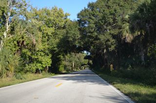
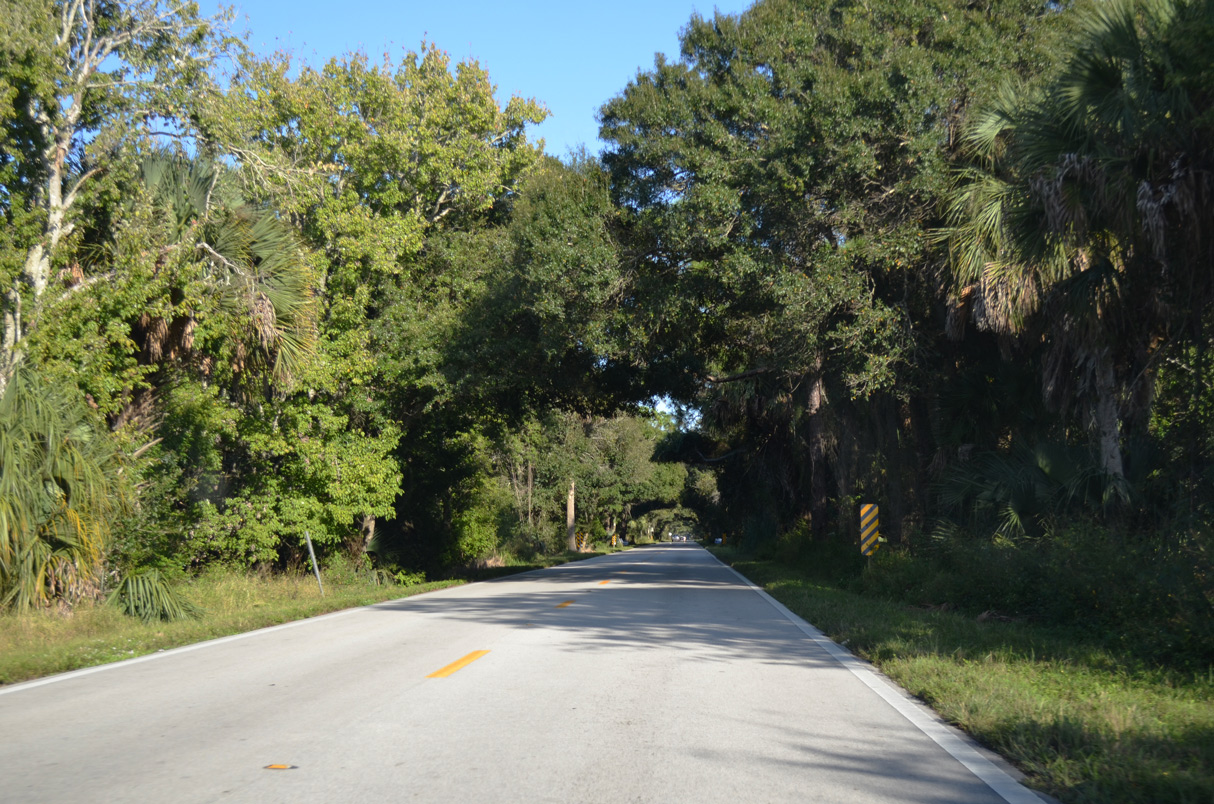
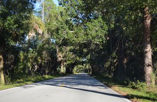
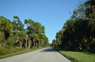
Designated the Martin Grade Scenic Highway, CR 714 bee lines east across ranch land and the Allapattah Flats toward SR 714 at Green Ridge.
10/17/14
10/17/14
10/17/14
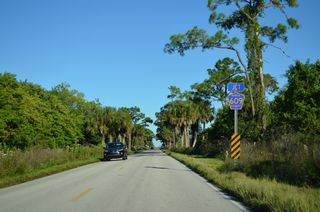
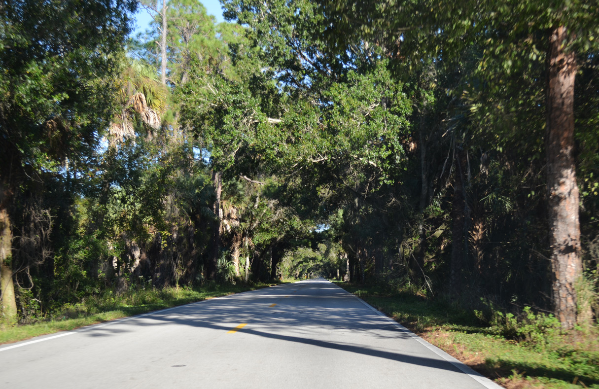
CR 714 (Martin Highway) intersects CR 609 (Allapatah Road) by protected areas within Allapattah Flats Wildlife Management Area.
10/17/14
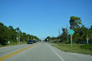
CR 609 runs 9.05 miles south to SR 710 at Indiantown and 9.14 miles north to CR 709 (Glades Cut Off Road) in St. Lucie County.
10/17/14
Confirming marker posted east of CR 609 (Allapattah Road).
10/17/14

East
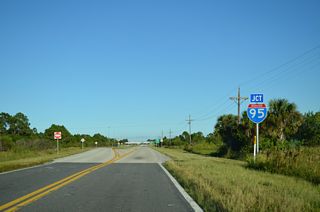
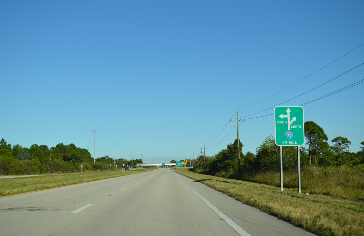
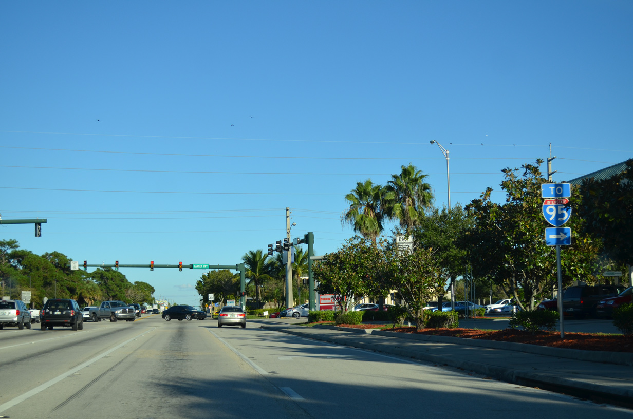
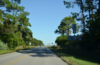
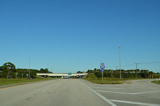
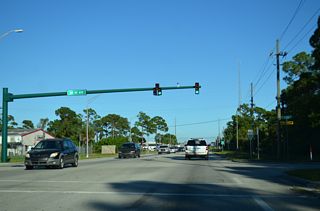
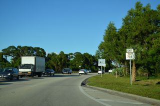
State maintenance commences along Martin Highway east leading into the diamond interchange (Exit 110) with Interstate 95.
10/17/14
The first shield for State Road 710 east precedes Interstate 95.
10/17/14

10/17/14
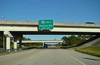
Interstate 95 curves southeast from SR 714 (Martin Highway) toward Florida's Turnpike and parallels the toll road south into Jupiter.
10/17/14
10/17/14
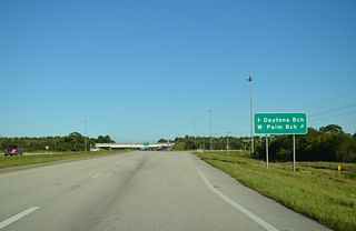
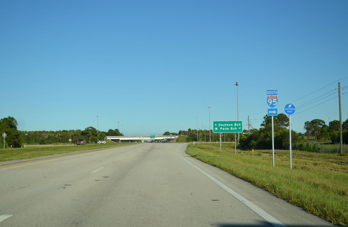
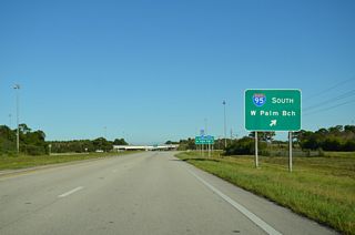
Interstate 95 heads south from the Treasure Coast to West Palm Beach, Fort Lauderdale and Miami.
10/17/14
10/17/14
10/17/14

10/17/14
Interstate 95 loops west through Port St. Lucie northward to Fort Pierce, Vero Beach and Melbourne.
10/17/14
10/17/14
10/17/14
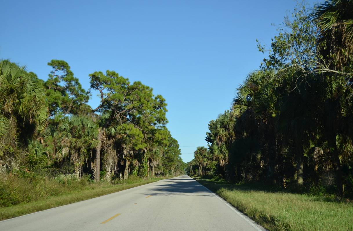
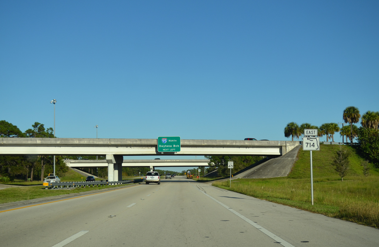
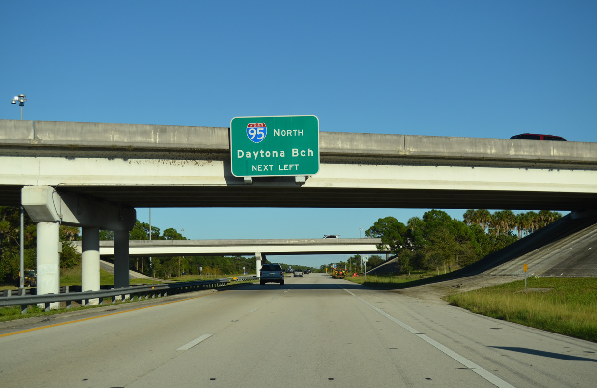
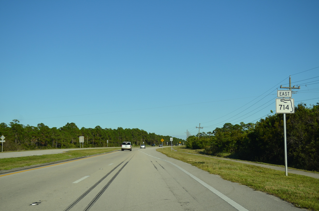
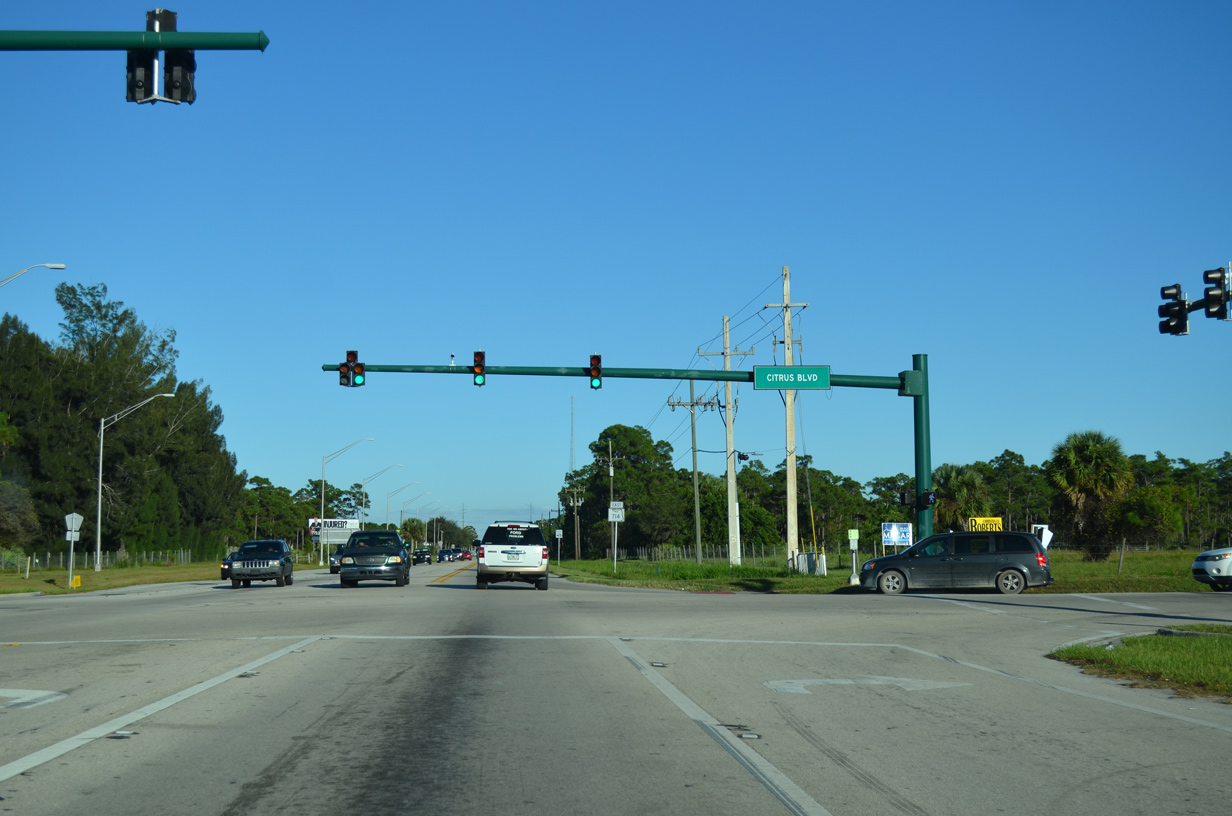
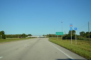
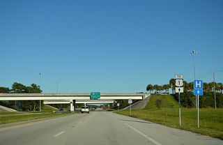
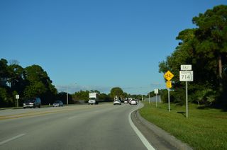
SR 714 (Martin Highway) reduces back into a two lane road east of I-95 and Stuart W Boulevard.
10/17/14
10/17/14

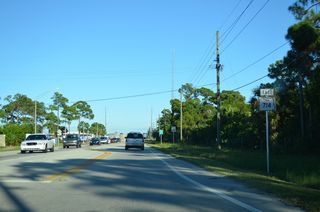
Although not signed along SR 714 (Martin Highway) eastbound, Citrus Boulevard is part of CR 76A, a 7.56 mile long route south to SR 76 via SW 96th Street.
10/17/14
10/17/14
10/17/14
10/17/14
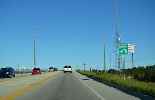
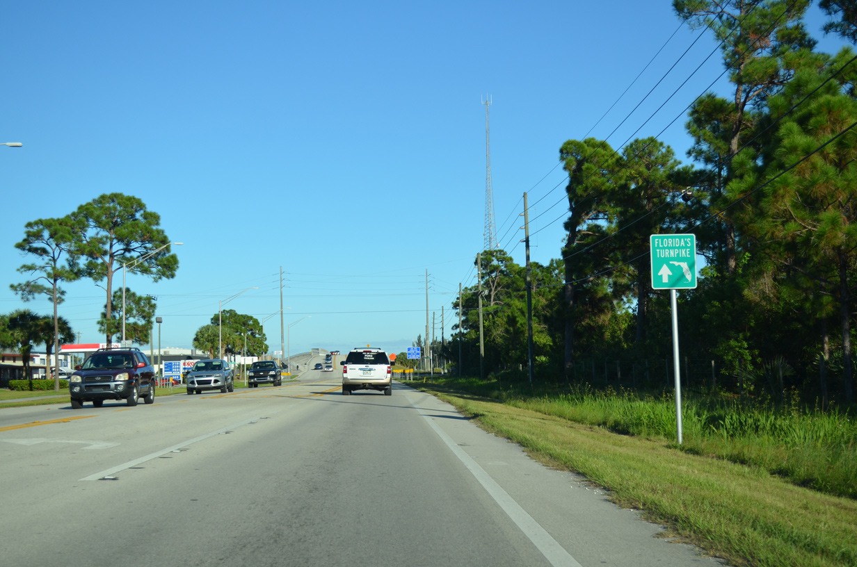
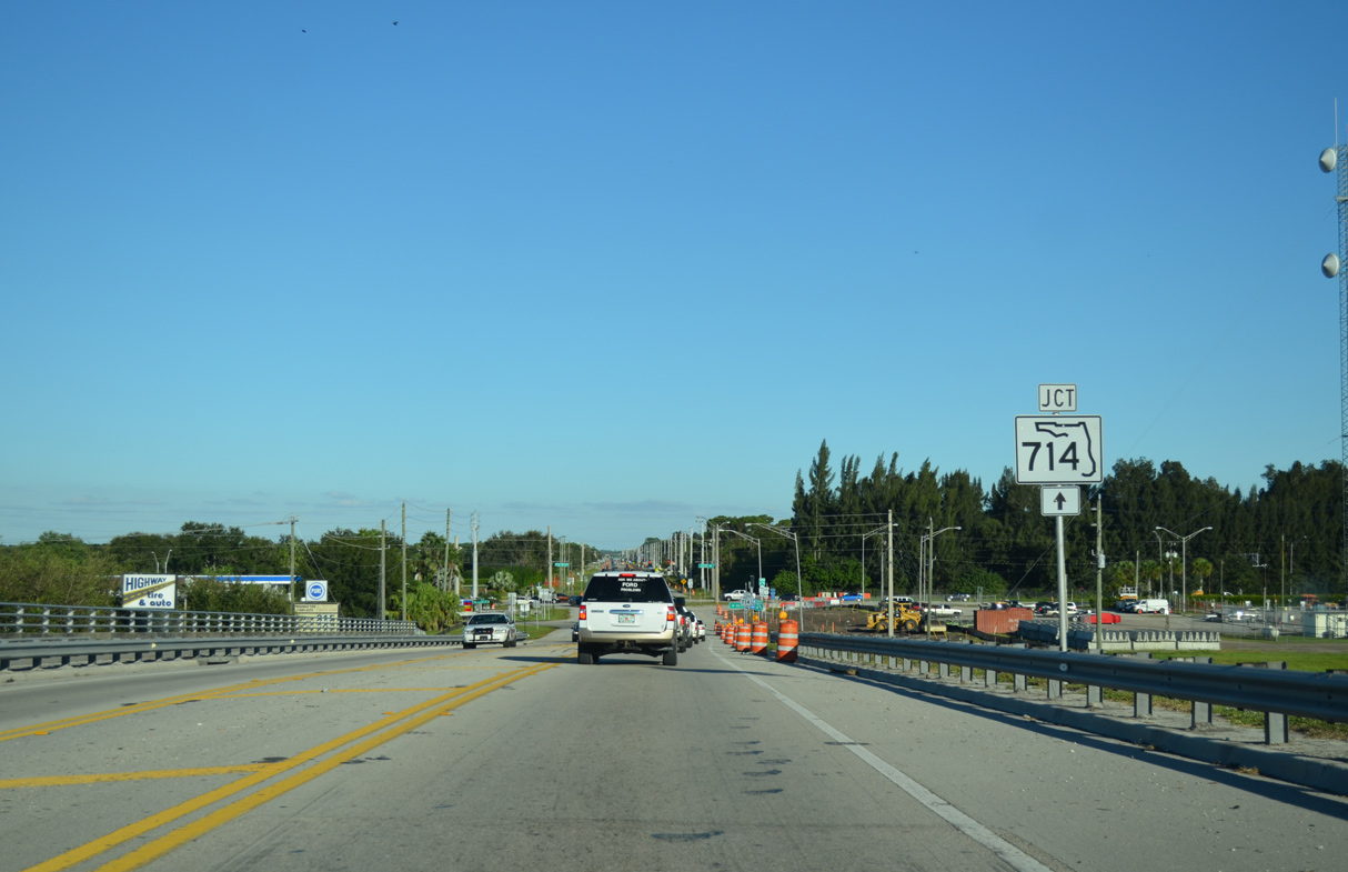
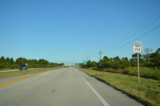
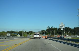
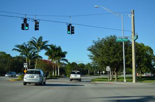
Martin Highway spans Florida's Turnpike ahead of Martin Downs Boulevard and the access road to the toll highway at Exit 133.
10/17/14
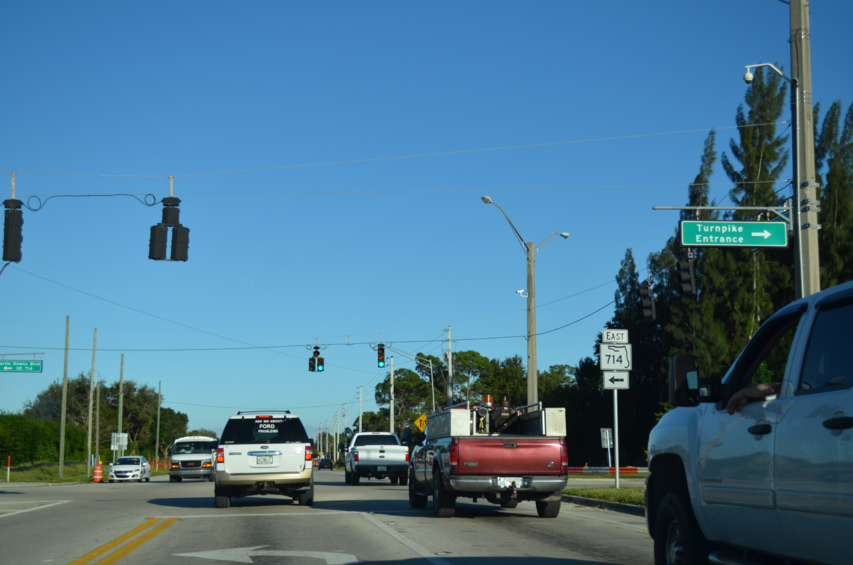
SR 714 turns north onto Martin Downs Boulevard while Martin Highway continues east as CR 714.
10/17/14
CR 714 follows old SR 714 for 2.70 miles east along Martin Highway to Palm City and north along Mapp Road.
10/17/14

10/17/14

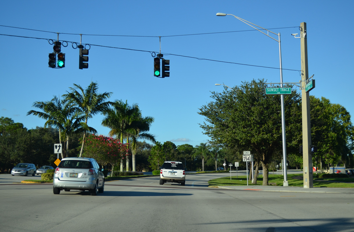
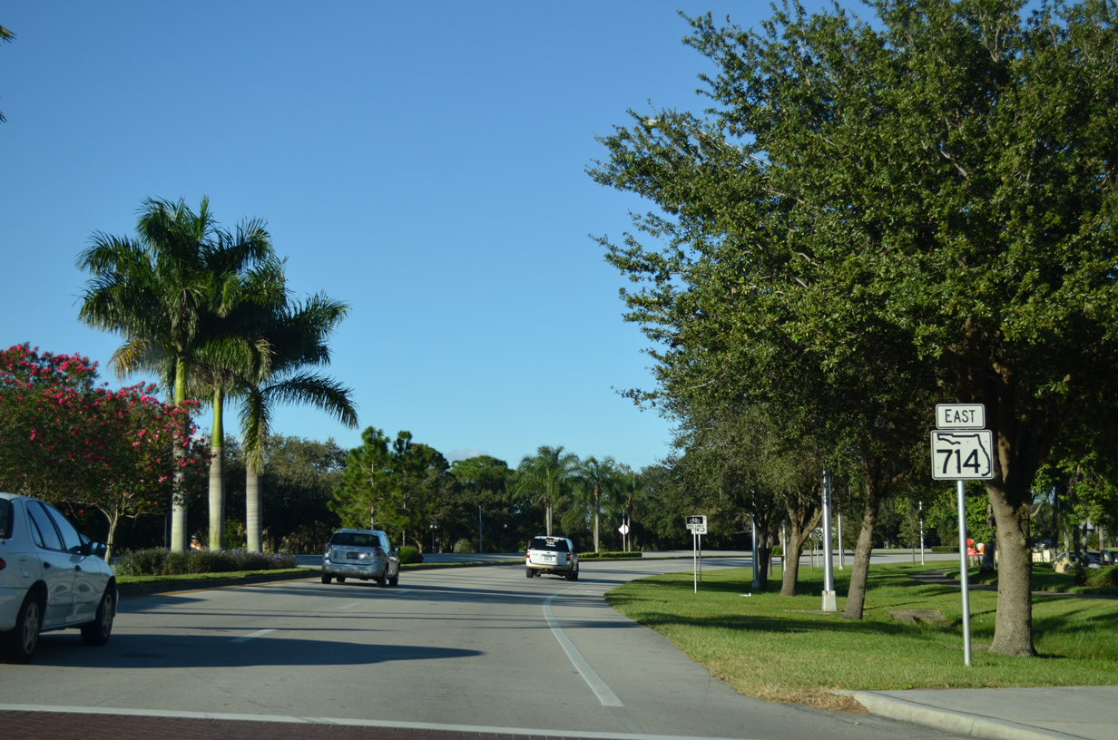
SR 714 arcs northeast around the Sunset Trace at Martin Downs development from CR 714 (Martin Highway).
10/17/14
10/17/14
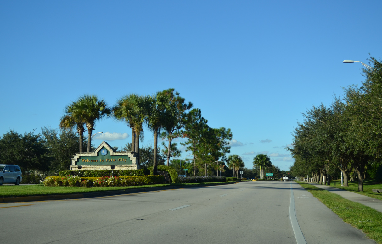
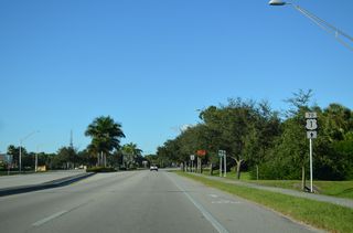
SR 714 continues east across the unincorporated community of Palm City.
10/17/14
10/17/14

10/17/14

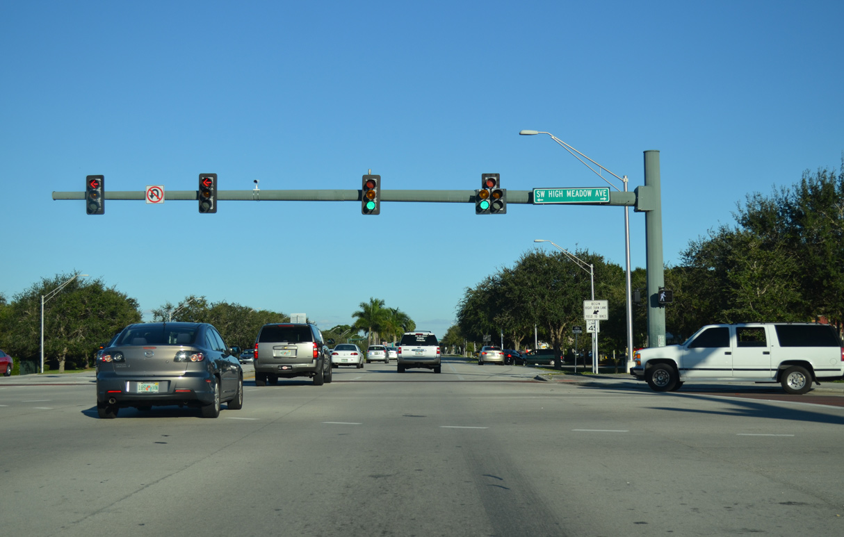
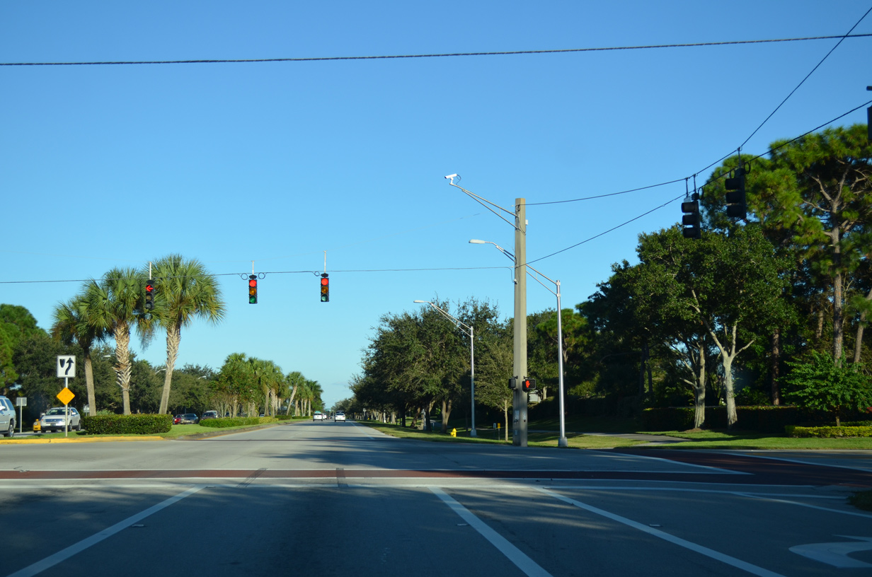
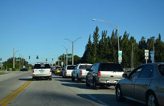
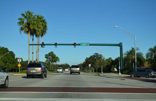
Curving east between Martin Downs Village Center and the Village Shops retail areas, SR 714 (Martin Downs Booulevard) east next intersects High Meadows Avenue at Martin Downs Town Center.
10/17/14
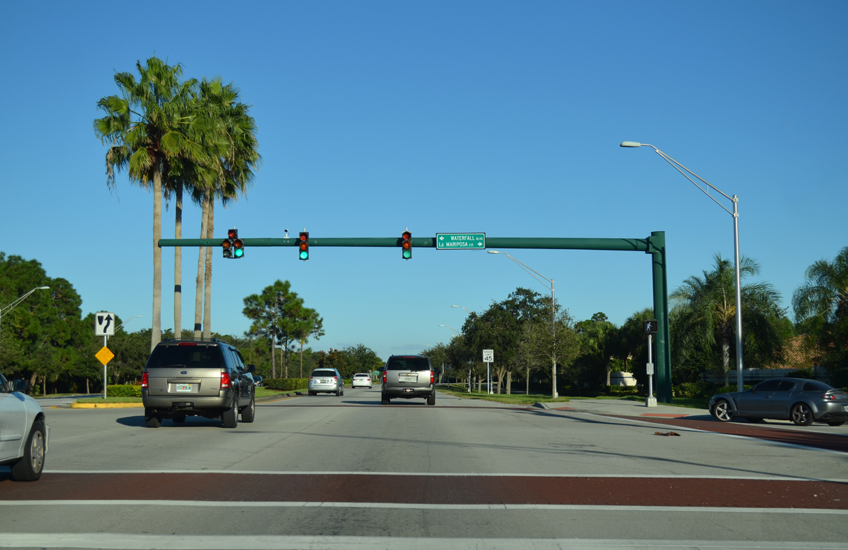
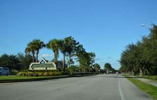
Waterfall Boulevard south ties into SR 714 from The Meadows at Martin Downs development across from La Mariposa Circle and the La Mariposa gated community.
10/17/14
10/17/14

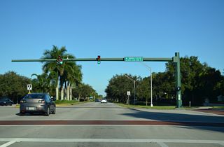
Martin Downs Boulevard east at Matheson Avenue.
10/17/14
Unsigned CR 714 returns to SR 714 north along Mapp Road.
10/17/14

10/17/14
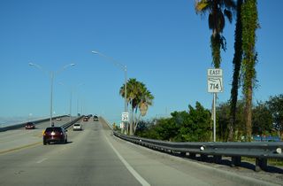
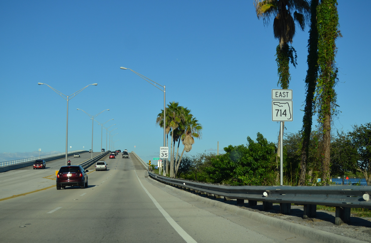
SR 710 shifts northward onto a pair of high rise bridges crossing the South Fork of the St. Lucie River.
10/17/14
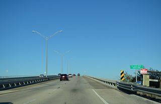
The eastbound span across the St. Lucie River South Fork was built in 1970, the westbound span was completed in 1991.
10/17/14
10/17/14
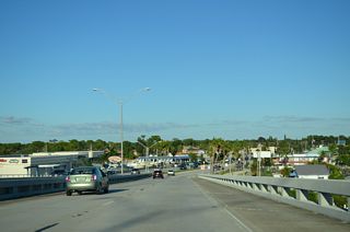
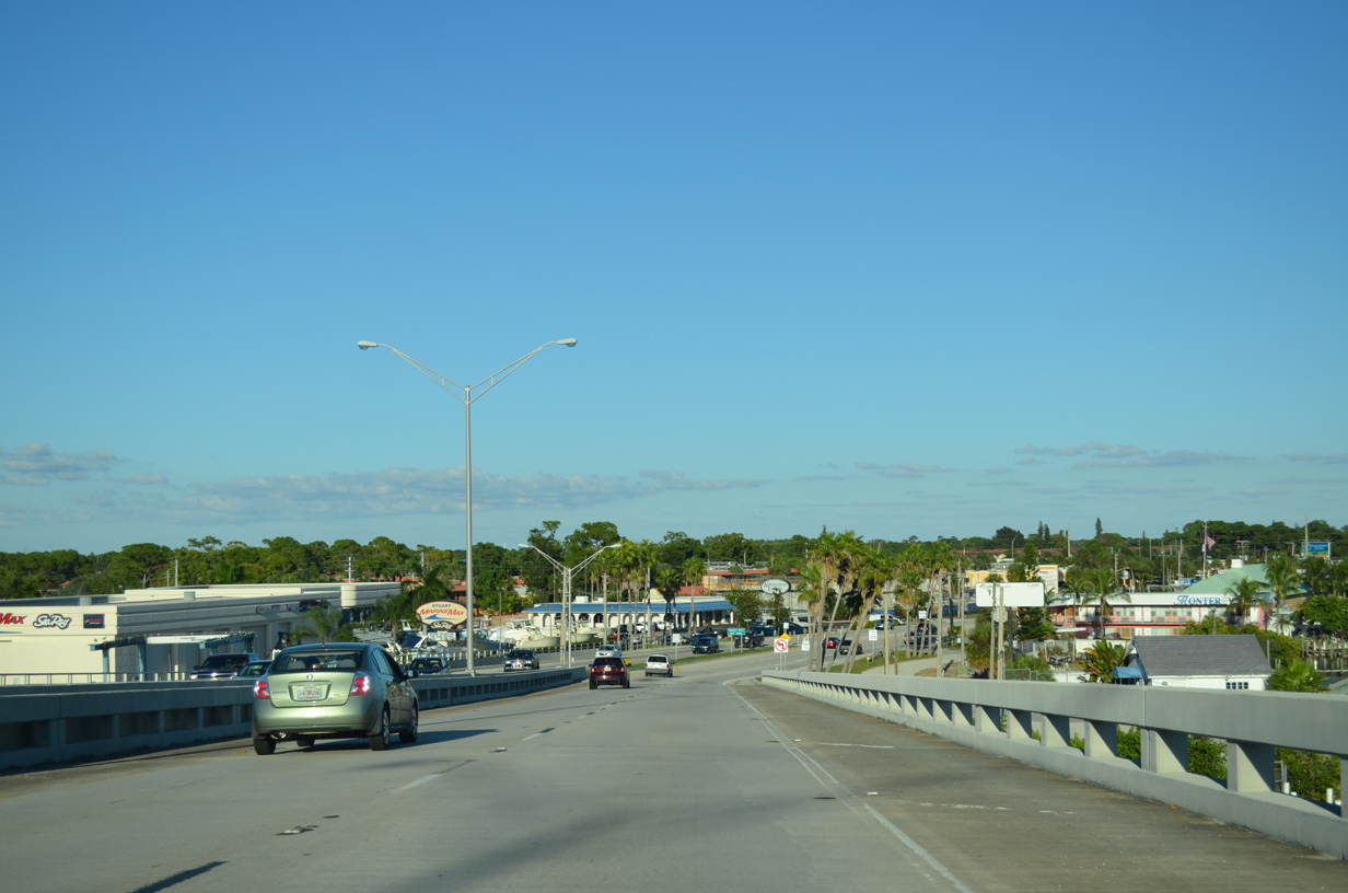
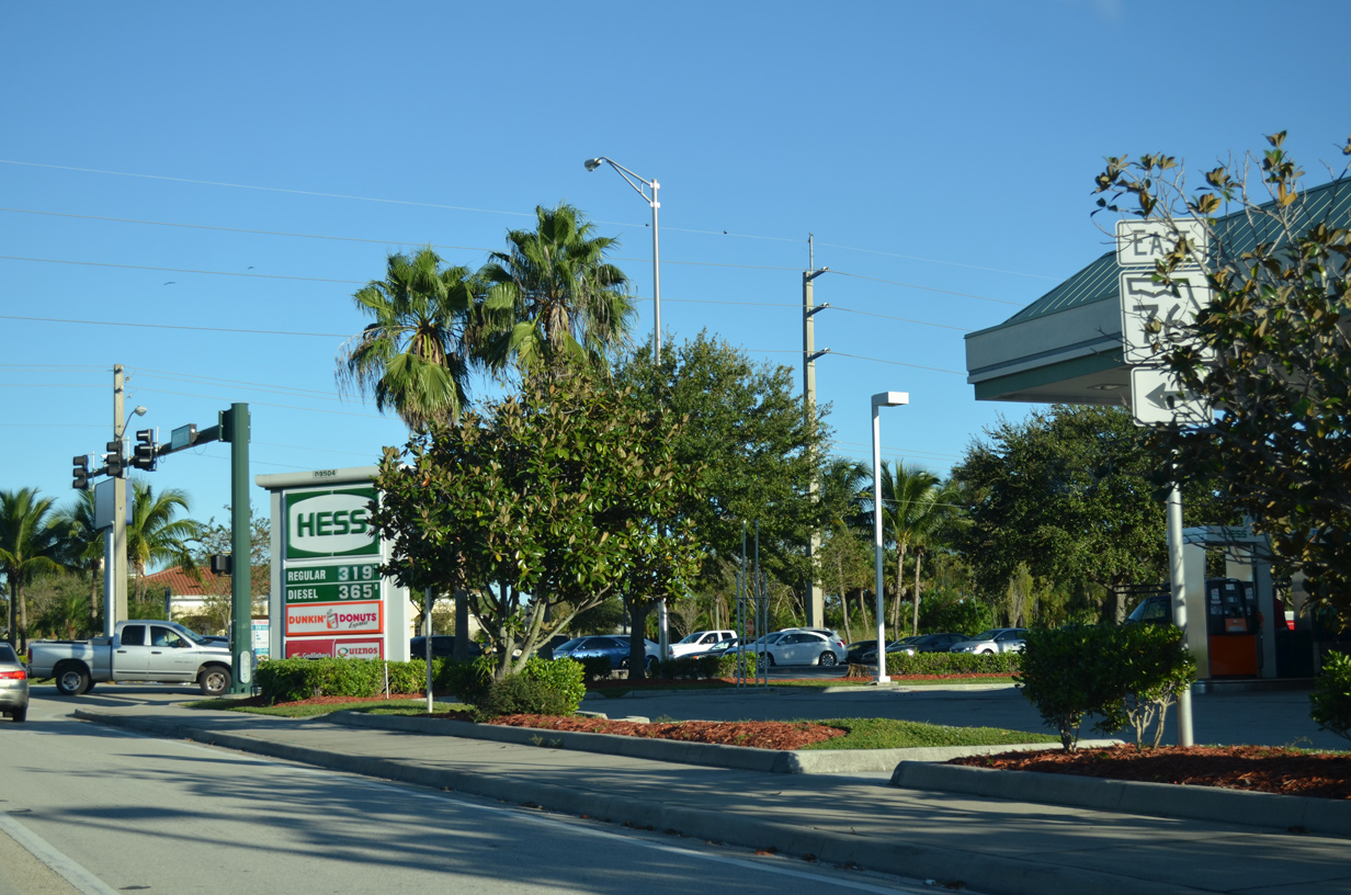
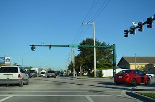
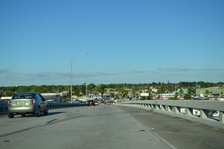
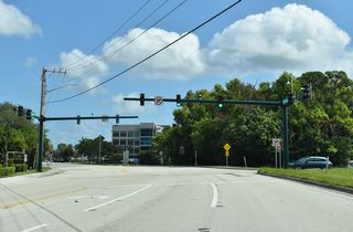
SR 714 lowers onto a commercialized stretch of Monterey Road leading into Stuart.
10/17/14

10/17/14
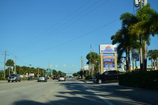
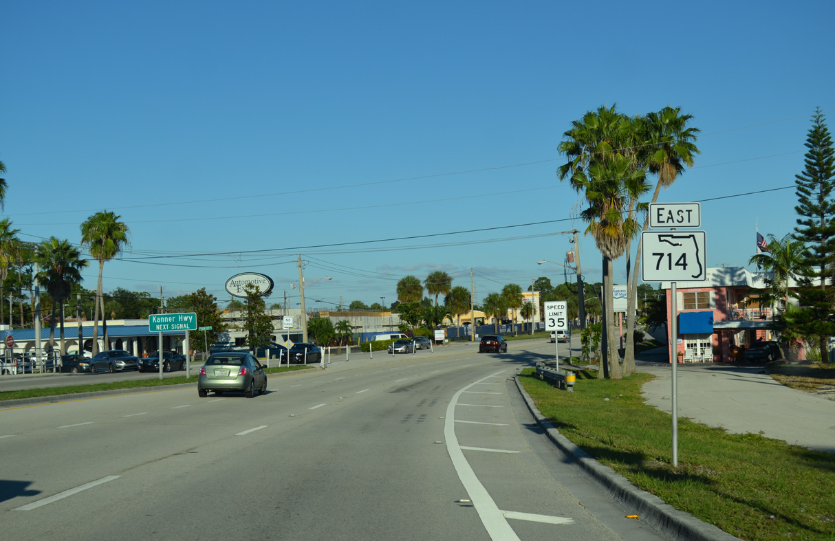
SR 76 (Kanner Highway) constitutes a 31.45 mile long highway west to Indiantown and U.S. 98/441 along Lake Okeechobee and north to U.S. 1 at Colorado Avenue in Stuart.
10/17/14
Colorado Avenue (CR A1A) extends 0.47 miles north from SR 76 and U.S. 1 to Ocean Boulevard in Downtown Stuart.
10/17/14
10/17/14

10/17/14

10/17/21

10/17/21
10/17/21
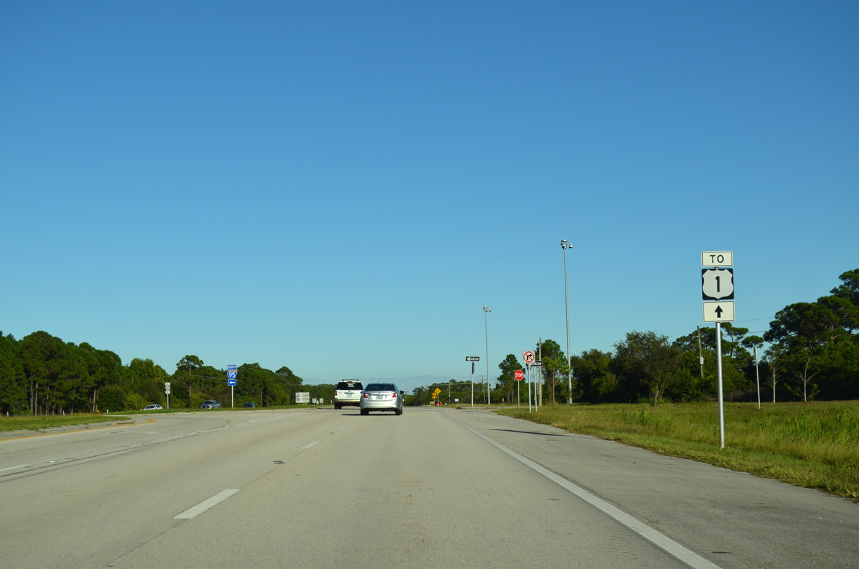
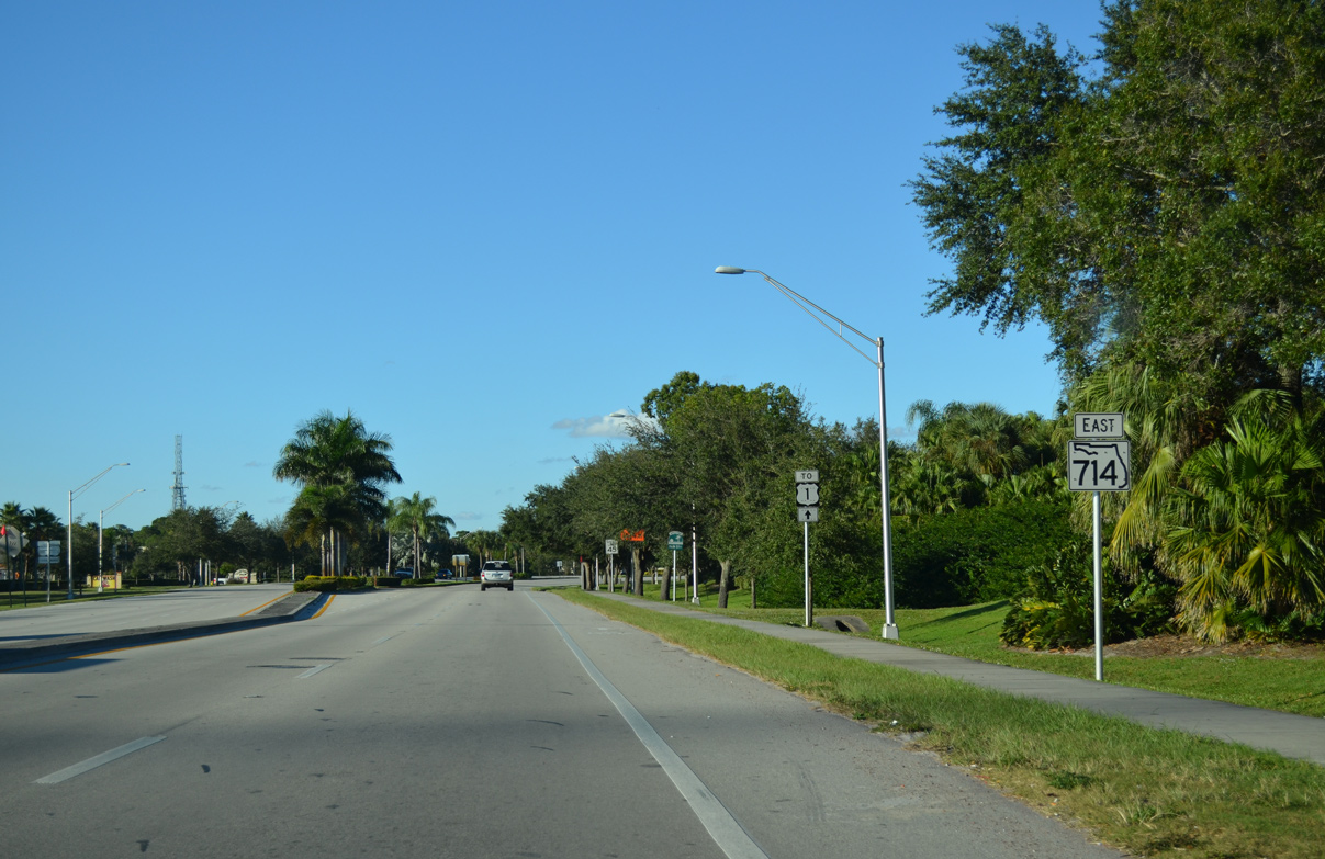
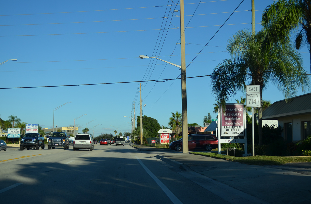
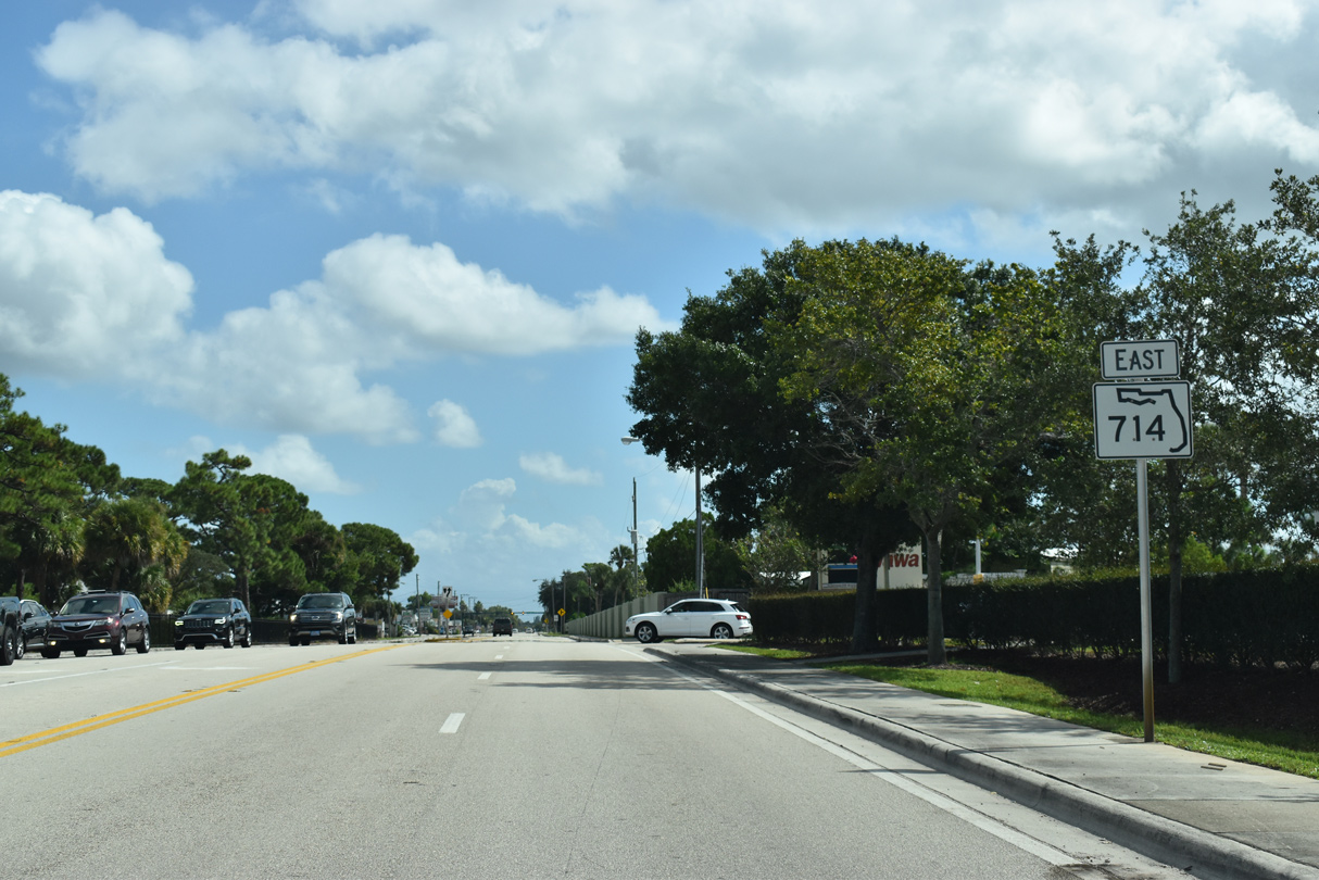
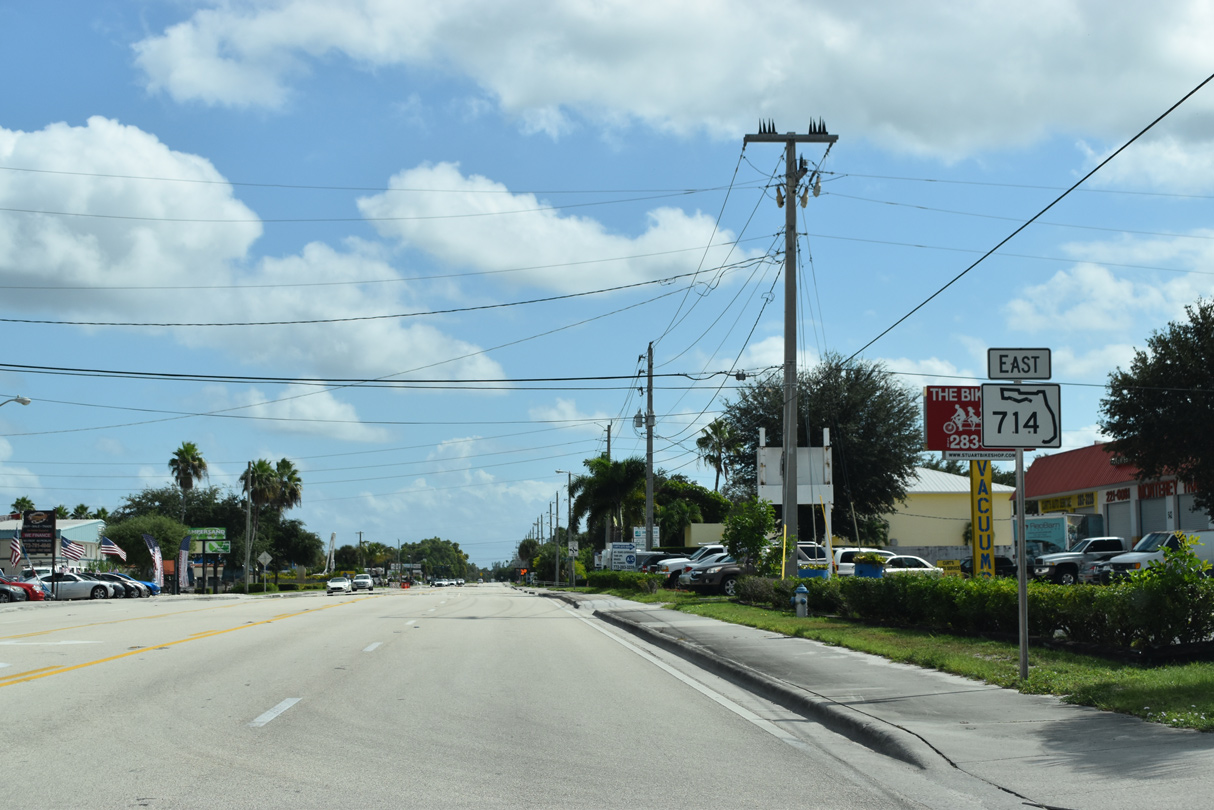
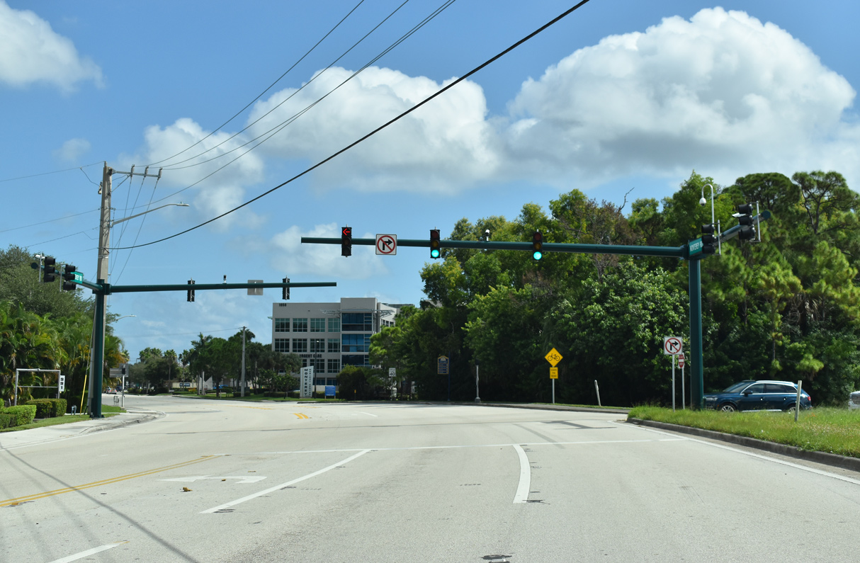
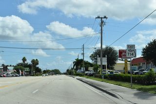
SR 714 (Monterey Road) angles northeast from Monterey Road Extension (unsigned CR 714) to U.S. 1 at Stuart Square shopping center.
10/17/21
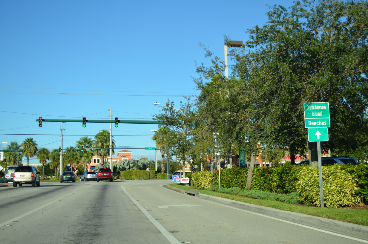
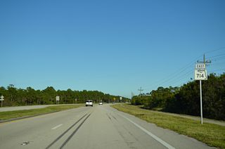
SR 714 connects U.S. 1 with SR A1A east to Hutchinson Island.
10/17/14

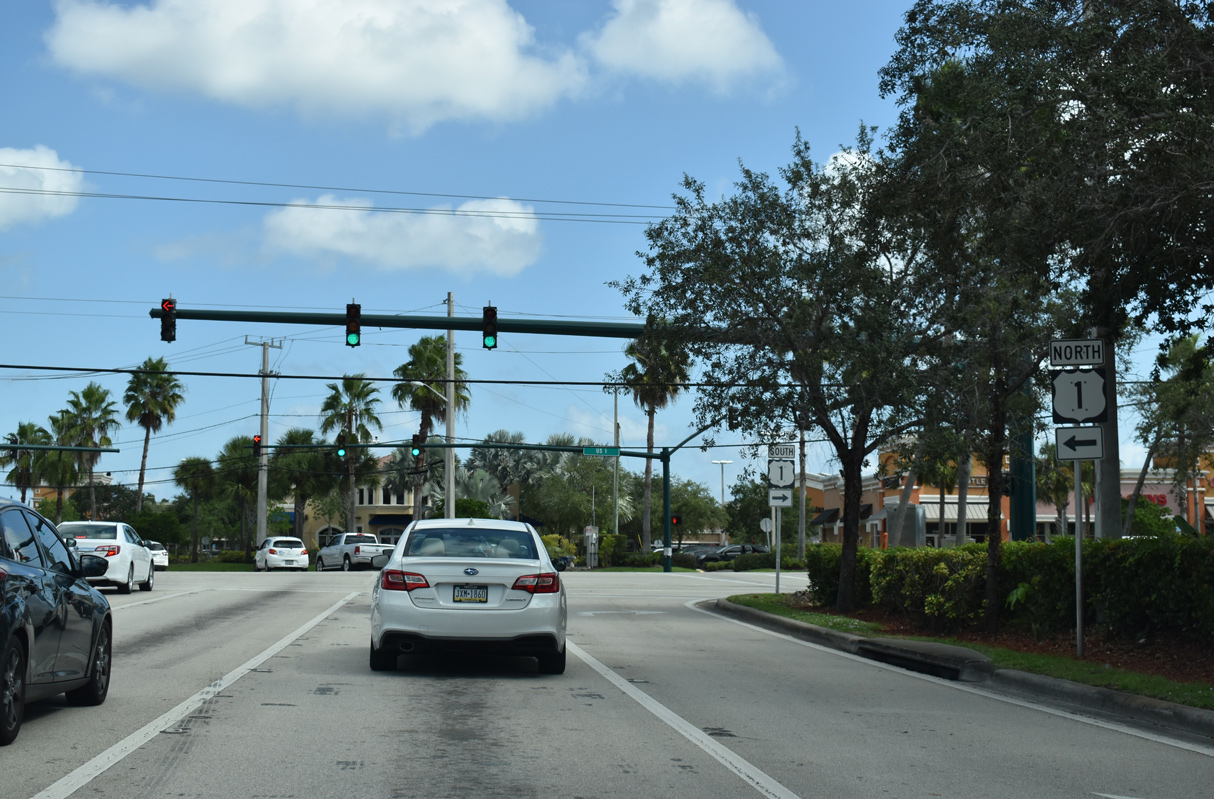
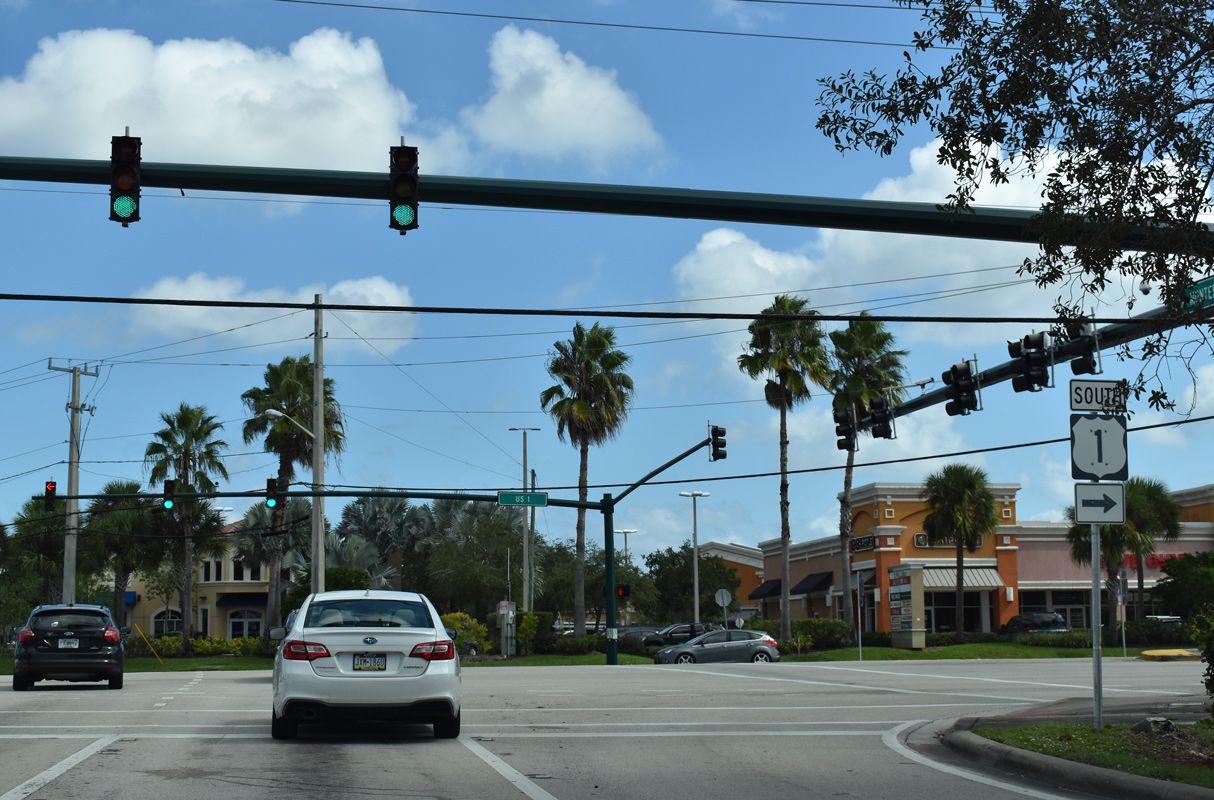
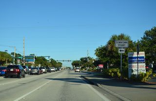
U.S. 1 (Federal Highway) is a heavily developed commercial arterial throughout the city of Stuart.
10/17/21

10/17/21
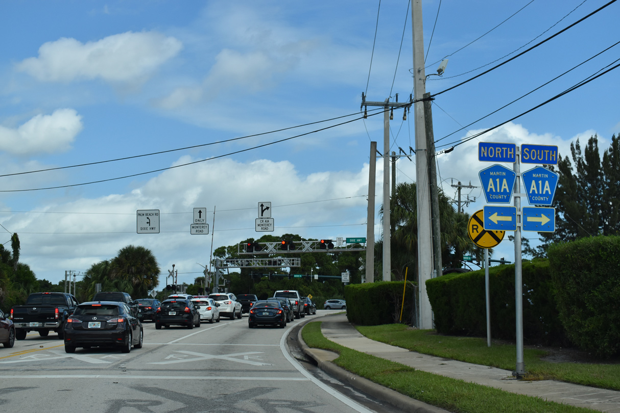
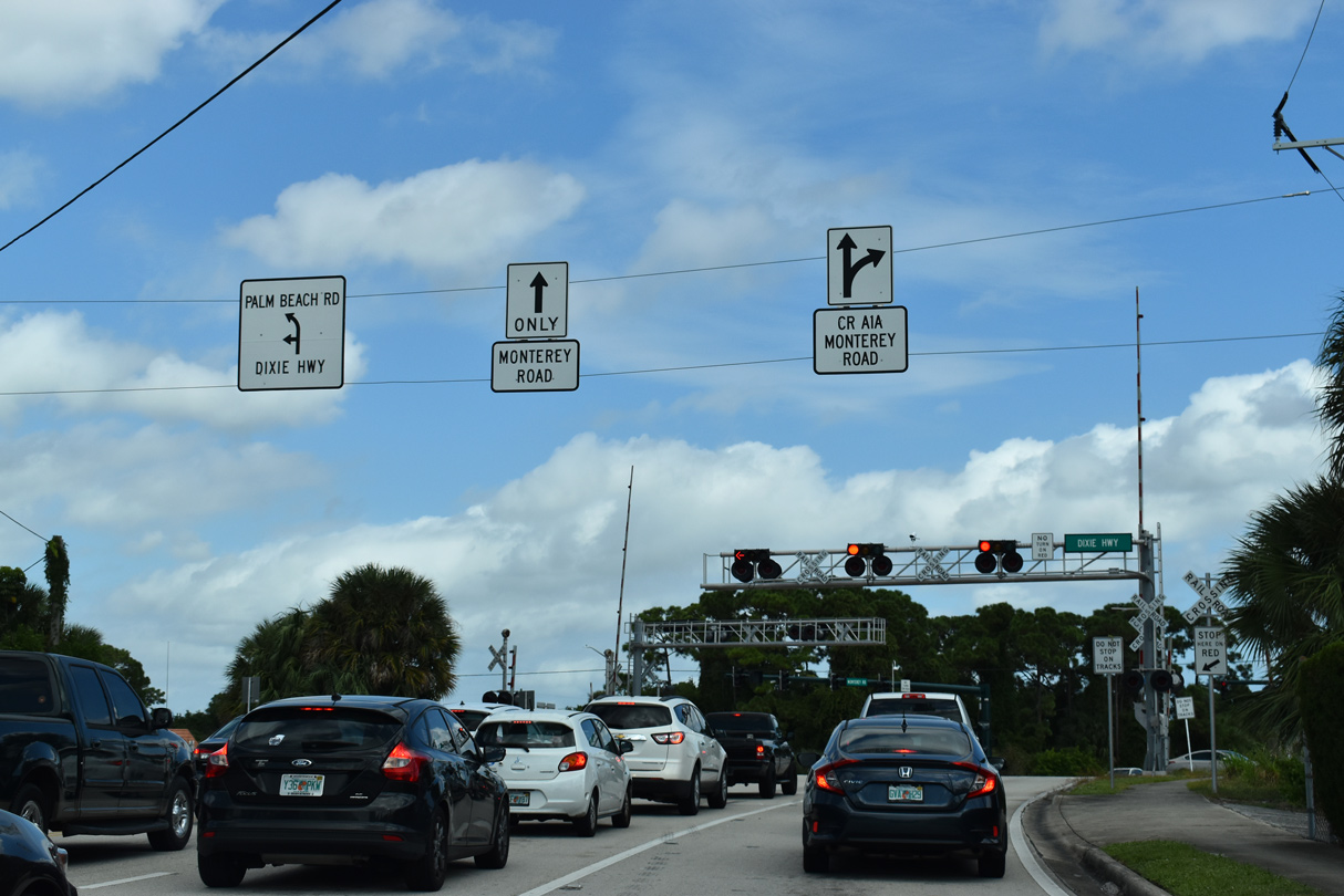
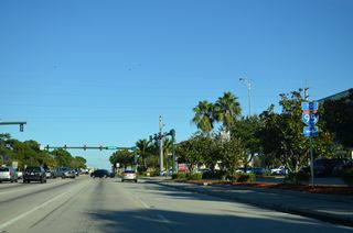
SR 714 (Monterey Road) proceeds north from U.S. 1 (Federal Highway) to meet CR A1A (Dixie Highway) at Palm Beach Road.
10/17/21

CR A1A (Dixie Highway) parallels the Florida East Coast (FEC) Railway northwest to Downtown Stuart and southeast to Port Salerno and Hobe Sound.
10/17/21
Palm Beach Road stems 1.17 miles north from the five point intersection with SR 714 and CR A1A to Ocean Boulevard (CR A1A) and a roundabout with Osceola Street.
10/17/21
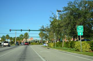
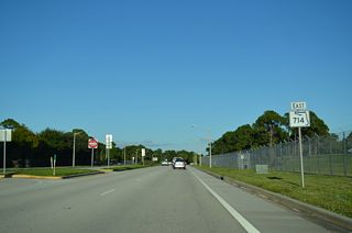
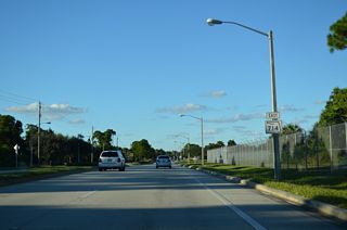
SR 714 runs along the north side of Witham Field (SUA) from CR A1A (Dixie Highway) to SE 10th Street.
10/17/14
10/17/14
10/17/14
10/17/14

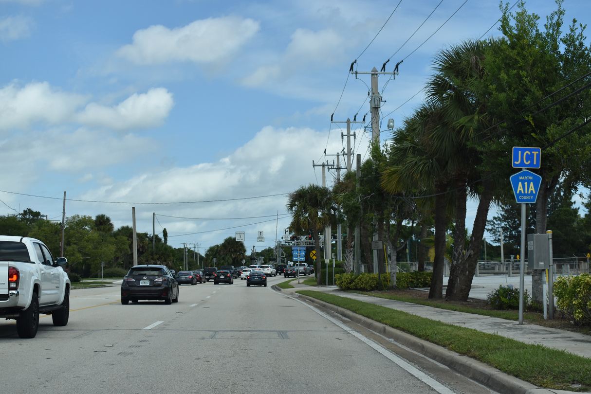
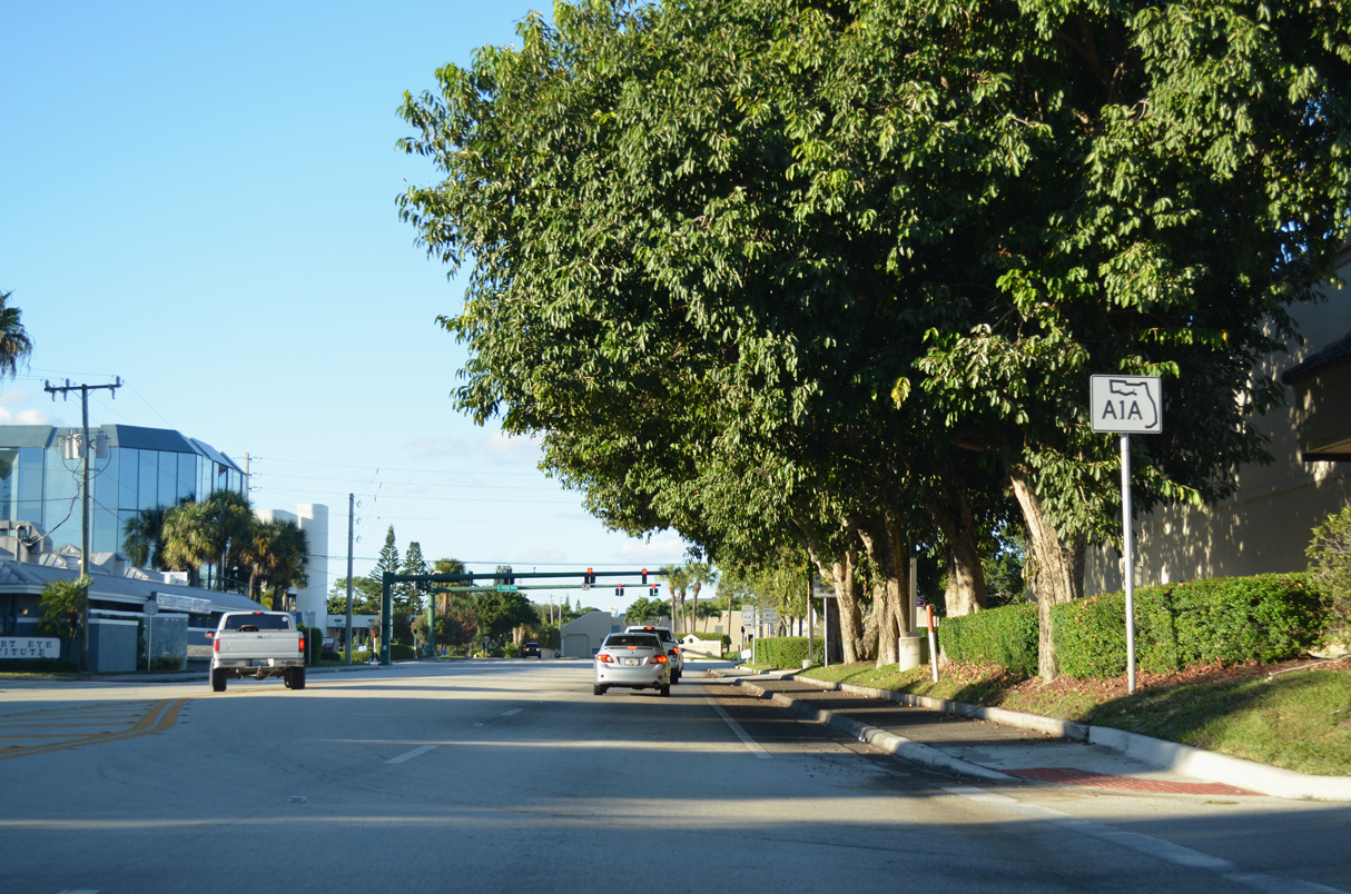
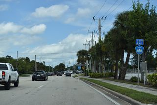
SR 714 (Monterey Road) shares an end point with SR A1A west from Sewall's Point.
10/17/14
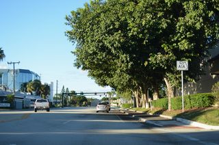
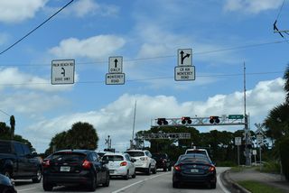
Unsigned CR A1A lines Ocean Boulevard west 1.75 miles to a roundabout with Flagler Avenue at Downtown Stuart.
10/17/14
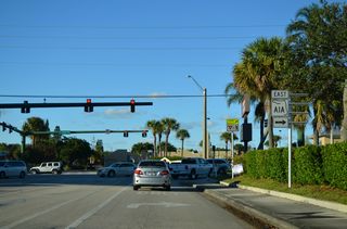
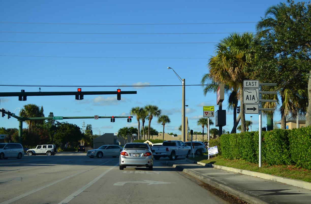
This assembly was replaced by 2019 with shields incorrectly referencing SR A1A as heading west along Ocean Boulevard. SR A1A east spans both the St. Lucie River and Indian River onto Hutchinson Island at Stuart Beach.
10/17/14
Page Updated Monday October 10, 2022.