
State Road 739

Florida State Road 739 is a primary north-south corridor linking Fort Myers with its neighboring communities in Lee County. The state road travels 16.5 miles overall through the Fort Myers area connecting the City of Palms with North Fort Myers to the north and San Carlos Park to the south. Though signed for 11.2 miles, SR 739 remains unsigned as it follows U.S. 41 Business between its northern end in North Fort Myers to State Road 80 (Second Street) in Fort Myers.
Florida State Road 739 Guides
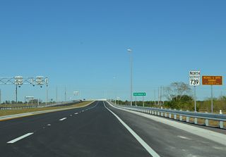

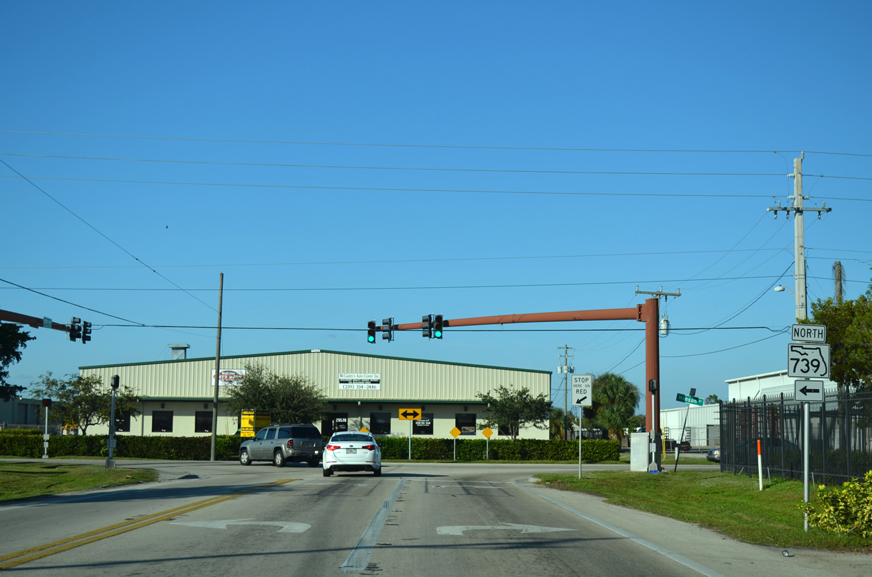
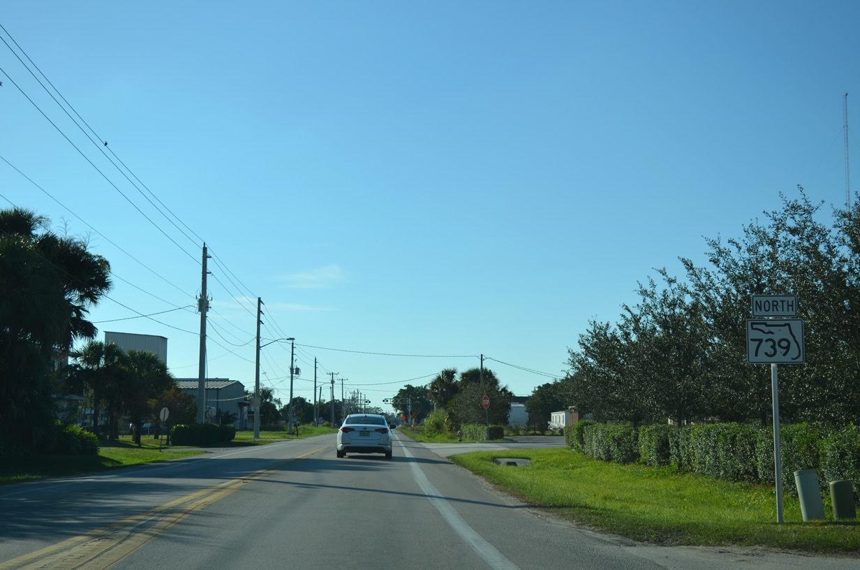
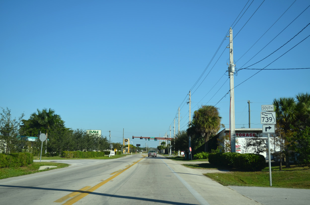
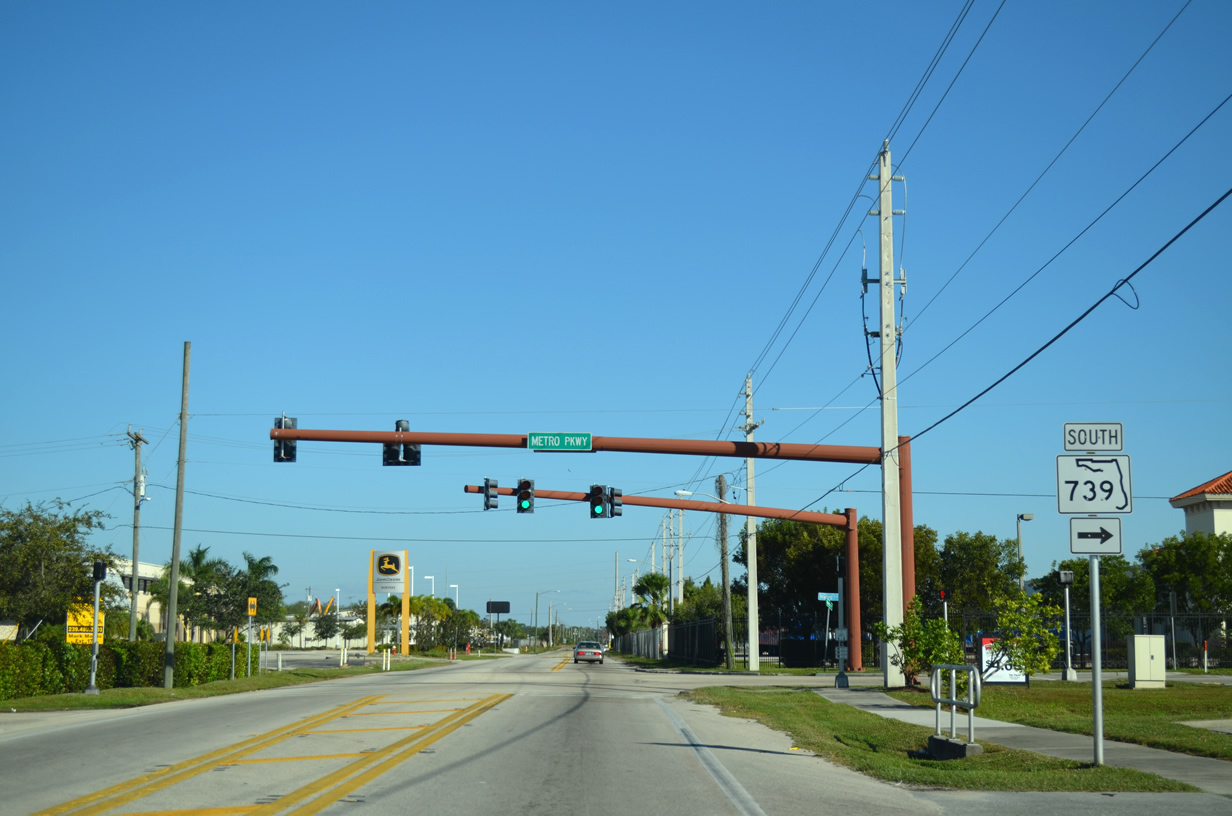
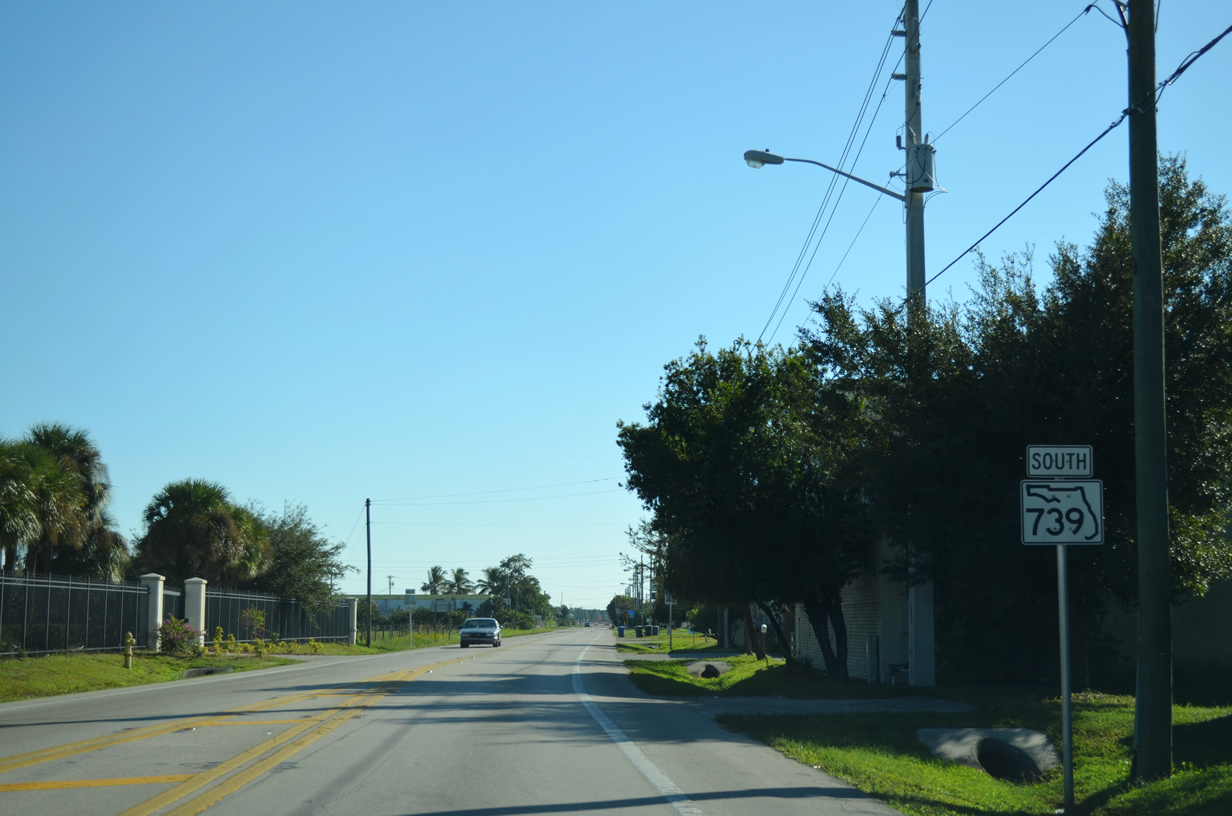
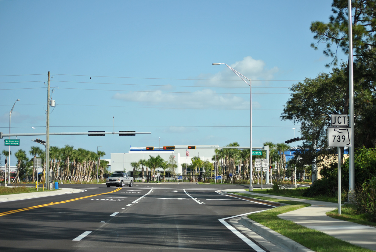
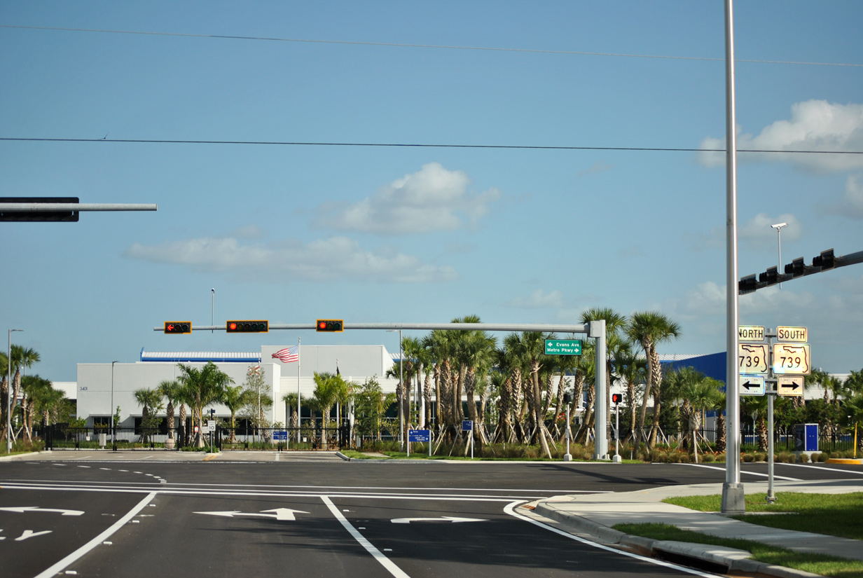
Beginning at U.S. 41 (Cleveland Avenue) in North Fort Myers, an unsigned SR 739 follows U.S. 41 Business (Tamiami Trail) through the unincorporated area and across the Caloosahatchee River into Fort Myers via the twin span Edison Bridges. The west span enters Fort Myers along Fowler Street while the east span funnels traffic from Park Street into North Fort Myers. SR 739 south emerges beyond SR 80 (Second Street) when U.S. 41 Business departs west for a return to U.S. 41 near Downtown. The state road generally travels through central Fort Myers along Fowler Street (southbound) and Evans Avenue along with Park Street (northbound), reconvening south of Hanson Street at Metro Parkway. A portion of Metro Parkway was realigned between 2012 and 2015 providing a better connection to both Evans Avenue and Fowler Street. Otherwise Metro Parkway carries SR 739 south through an industrial area of Fort Myers to an intersection with State Road 865 and Lee County 865 (Six Mile Cypress Parkway). Opened by late 2012, Michael G. Rippe Parkway extends the state road three miles further to its end at U.S. 41 (Tamiami Trail) near Alico Road and San Carlos Park.
 Archive North
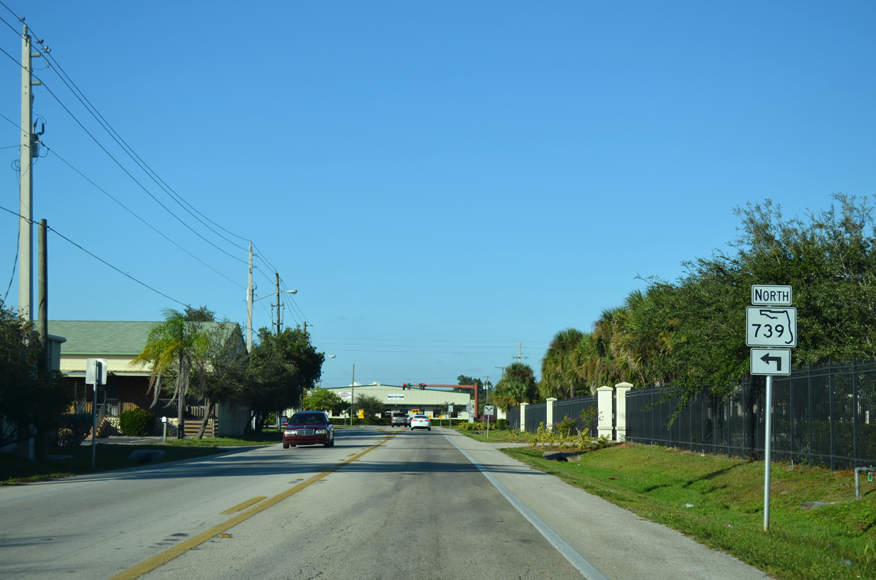
Prior to November 2015, SR 739 (Metro Parkway) followed a northerly course between Winkler Avenue and Hanson Street. This portion became Old Metro Parkway once the state road and Metro Parkway moved to its new alignment.
11/28/13
Old Metro Parkway ends at a T-intersection with Hanson Street. SR 739 previously turned west at this point to connect with both Evans Avenue and Fowler Street.
11/28/13
Former scene along westbound Hanson Street beyond Old Metro Parkway. SR 739 formerly proceeded west 0.6 miles from this point to Fowler Street.
11/28/13
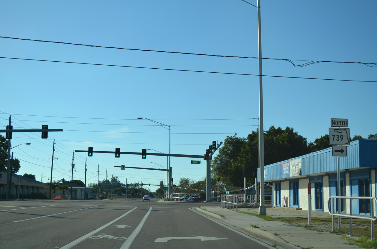
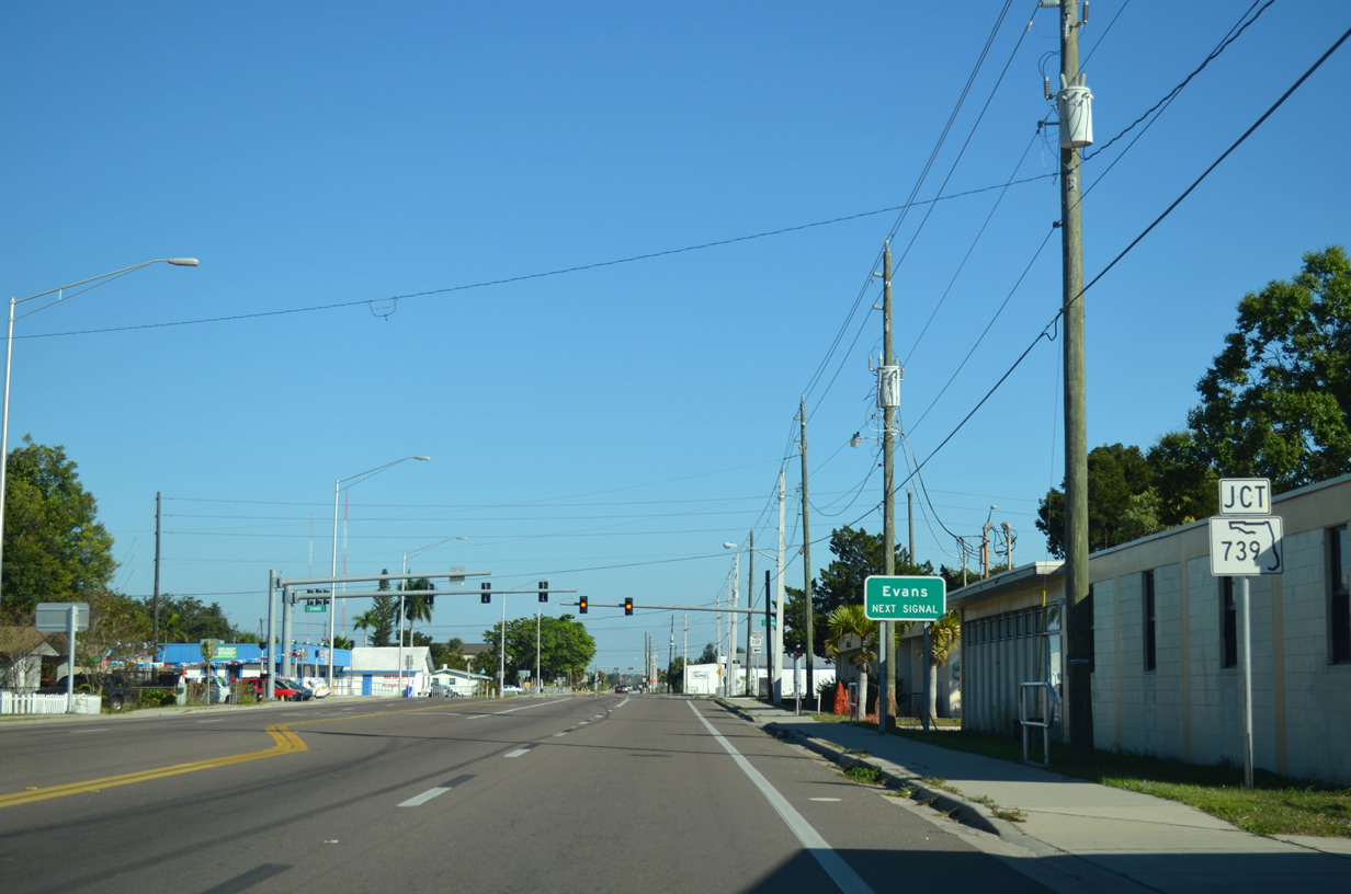
SR 739 travels along Evans Avenue on a one way couplet between Hanson Street and Second Street (SR 80) east of Downtown Fort Myers.
11/28/13
South
This trailblazer once directed southbound SR 739 motorists from Fowler Street onto Hanson Street. It was removed by fall 2015 when SR 739 was realigned further south along Fowler Street.
11/28/13
Hanson Street on the approach to SR 739 (Evans Avenue) north.
11/28/13
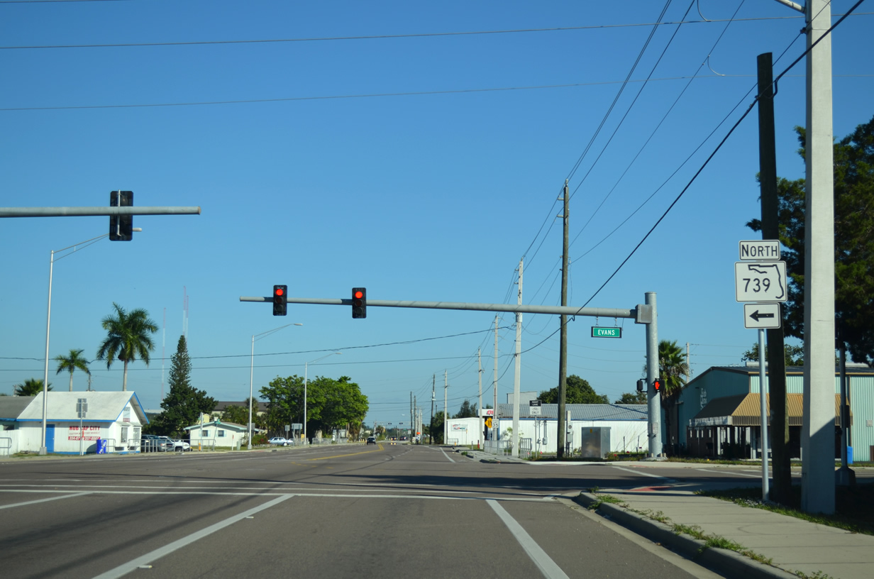
SR 739 north travels along Evans Avenue north to its merge with Park Street beyond SR 82 (Martin Luther King Jr. Boulevard).
11/28/13
SR 739 previously turned south at the ensuing intersection with Old Metro Parkway.
11/28/13
Hanson Street at Old Metro Parkway. SR 739 was moved onto its new alignment between Winkler Avenue and Fowler Street by November 2015. Otherwise, Hanson Street continues east to Veronica S. Shoemaker Boulevard.
11/28/13
This confirming marker still stood along Old Metro Parkway south of Hanson Street as of late 2016.
11/28/13
scenes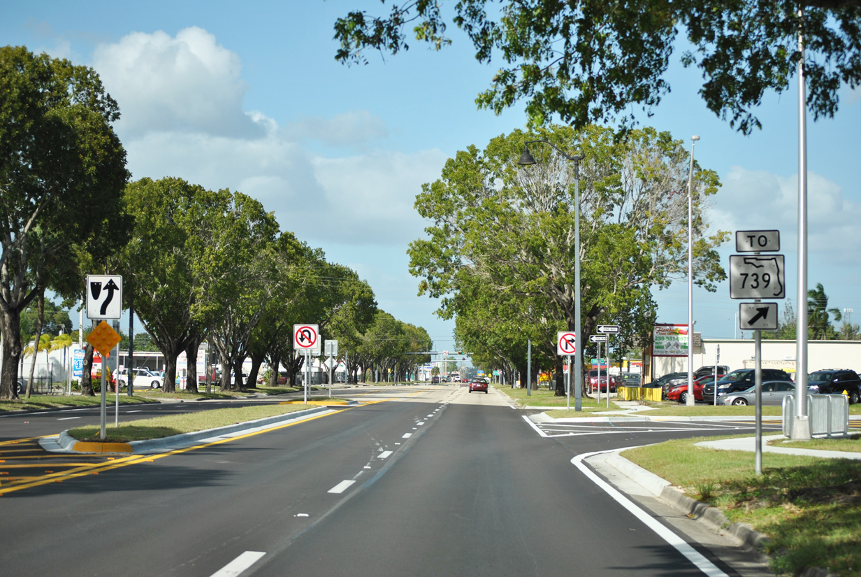
LeeTran Boulevard directly connects Fowler Street with SR 739 (Metro Parkway).
11/26/15
LeeTran Boulevard spans only one city block between Fowler Street and Metro Parkway.
11/26/15
LeeTran Boulevard was built as part of the realignment of SR 739 and Metro Parkway between Winkler Avenue and Fowler Street. The connector road also ties into the Lee County Transit (LeeTran) system hub.
11/26/15
Photo Credits:
- ABRoads: 11/28/13, 11/26/15
Connect with:
Page Updated Monday December 02, 2019.