
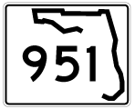
State Road 951 / County Road 951 - North
The first shield for State Road 951 previously stood just beyond the west end of CR 92 (San Marco Road) on Collier Boulevard northbound. CR 951 is unmarked within the city of Marco Island.
12/30/03
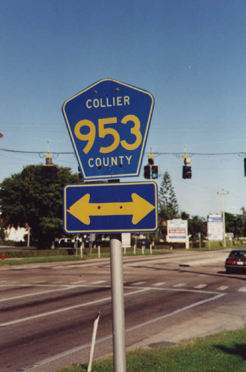
The transfer of maintenance from the state to the city of Marco Island preceded a streetscaping project along all of Collier Boulevard. References for CR 953 at Bald Eagle Drive were removed by December 2000.
November 1999
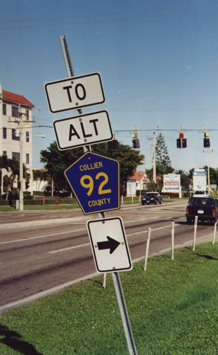
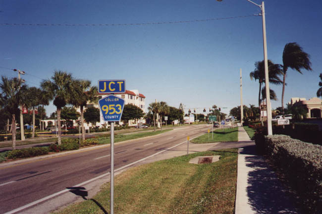
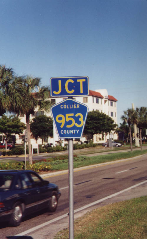
A trailblazer formerly referenced the connection with CR 92 (San Marco Road) at the south end of CR 953 (Bald Eagle Drive) south.
November 1999
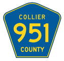
Unsigned County Road 953 extends north from Collier Boulevard and the Marco Island Town Center retail area to Palm Street off Collier Bay. The route measures 2.86 miles in length.
November 1999
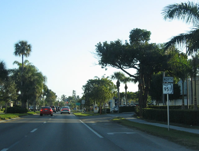
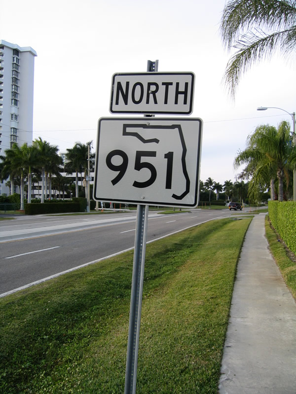
A second shield for SR 951 in Marco Island appeared north of Bald Eagle Drive (CR 953).
12/30/03
 North
North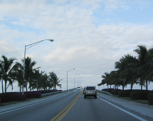
Gradually turning northeast, Collier Boulevard ascends onto the S.S. Judge Jolley Bridge across the San Marco River. Built in 1969, the bridge represents the southern extent of SR 951.
12/30/03
The S.S. Judge Jolley Bridge spans the San Marco River between the Gulf of Mexico and Ten Thousand Islands. The 1969 span was converted for northbound only traffic following completion of the adjacent southbound bridge in 2011.
12/30/03
Collier Boulevard straddles a causeway alongside Flotilla Passage from the S.S. Judge Jolley Bridge north to County Road 952 (Capri Boulevard).
November 1999
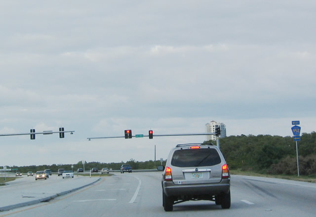
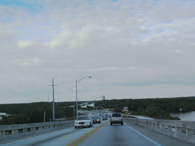
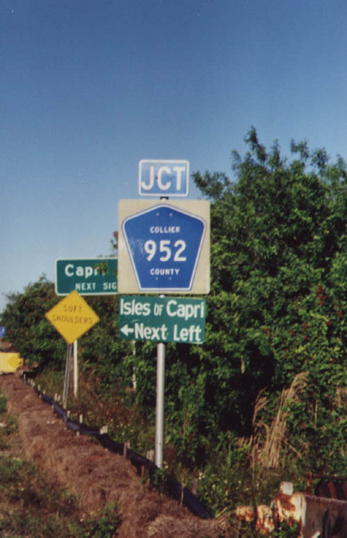
CR 953 (Capri Boulevard) spurs 2.59 miles west to Isle of Capri, located just east of the Gulf of Mexico off Big Marco Pass.
12/30/03
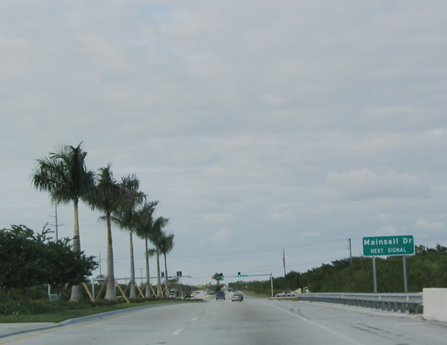
Advancing north from McIvane Bay, SR 951 (Collier Boulevard) intersects Mainsail Drive. Mainsail Drive connects with Marco Shores and Marco Island Executive Airport (MRK).
12/30/03
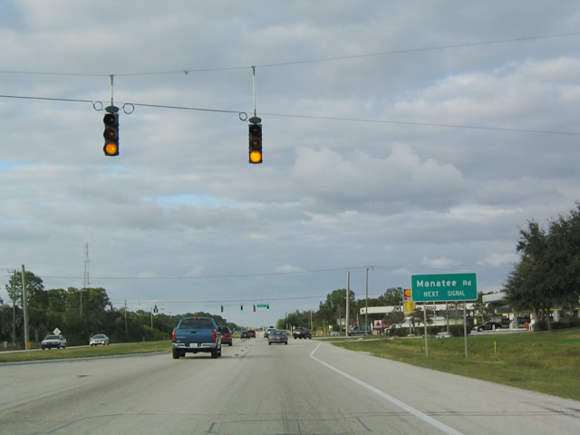
SR 951 (Collier Boulevard) was widened to four lanes with a grassy median in the 1990s. The state road meets Manatee Road just beyond the Naples Outlet Connection retail complex.
12/30/03
SR 951 reassurance marker posted between Manatee Road and Henderson Creek along Collier Boulevard northbound.
12/30/03
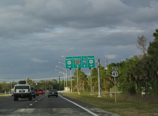
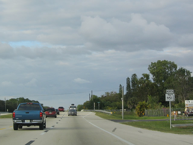
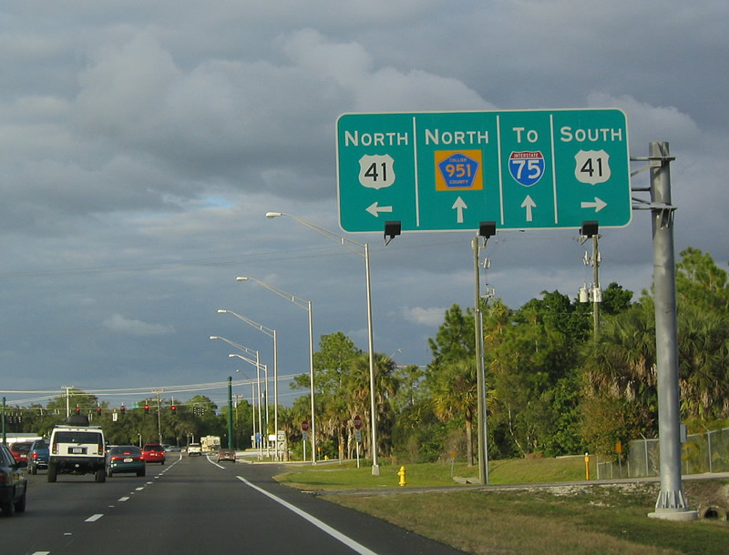
The southern segment of SR 951 concludes at a heavily commercial intersection with U.S. 41 (Tamiami Trail). Sparsely signed CR 951 continues Collier Boulevard north toward Interstate 75.
12/30/03
U.S. 41 (Tamiami Trail) comprises a suburban arterial southeast to Collier-Seminole State Park and northwest into the city of Naples.
12/30/03
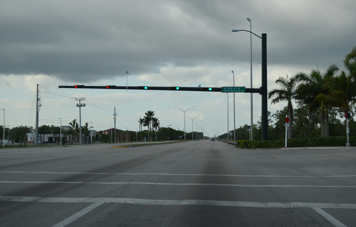
Turning due north, Collier Boulevard (CR 951) runs between the Lely Resort and Vernonawalk developments. Grand Lely Drive west and Vernonawalk Boulevard east represent the main entrance roads to the respective neighborhoods.
05/01/16
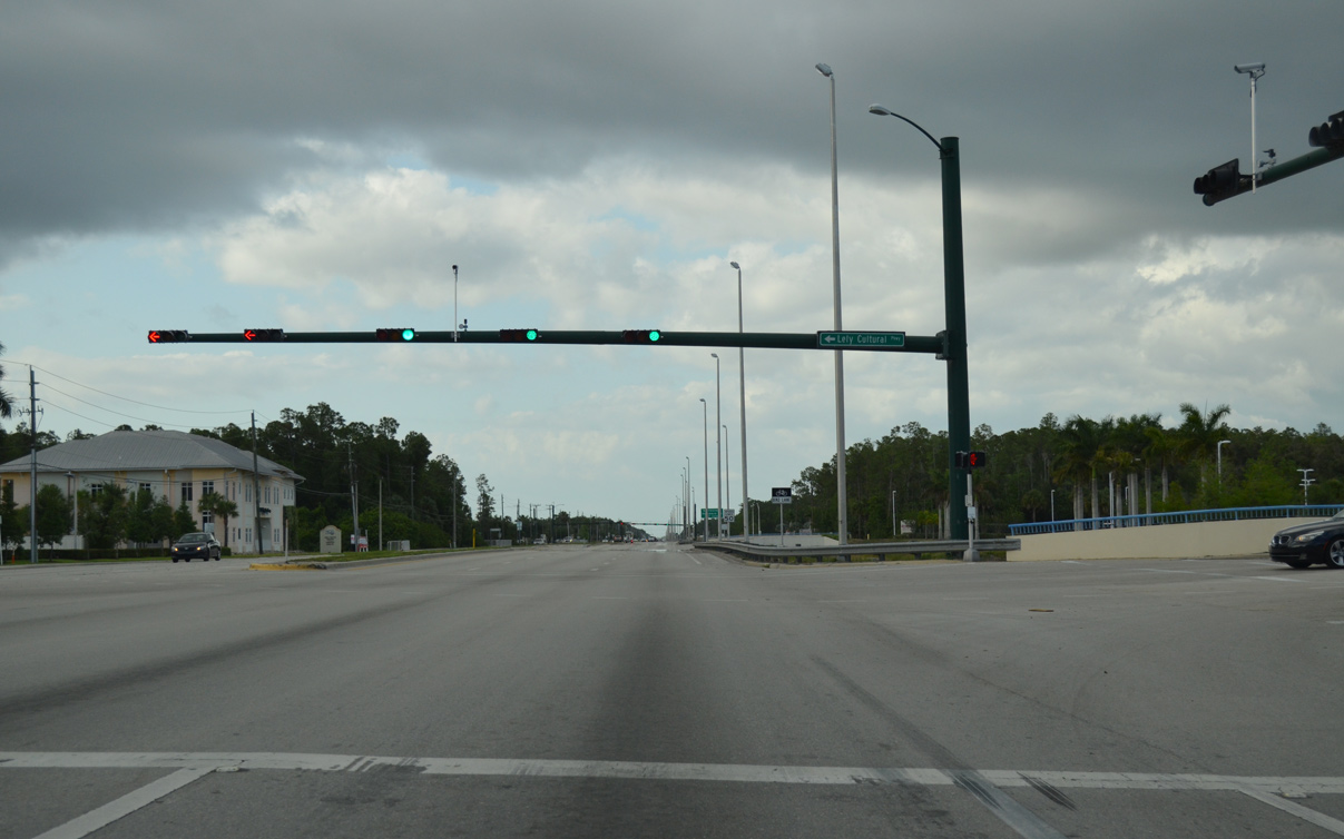
Lely Cultural Parkway connects Grand Lely Drive with Collier Boulevard east at Physicians Regional Medical Center.
05/01/16
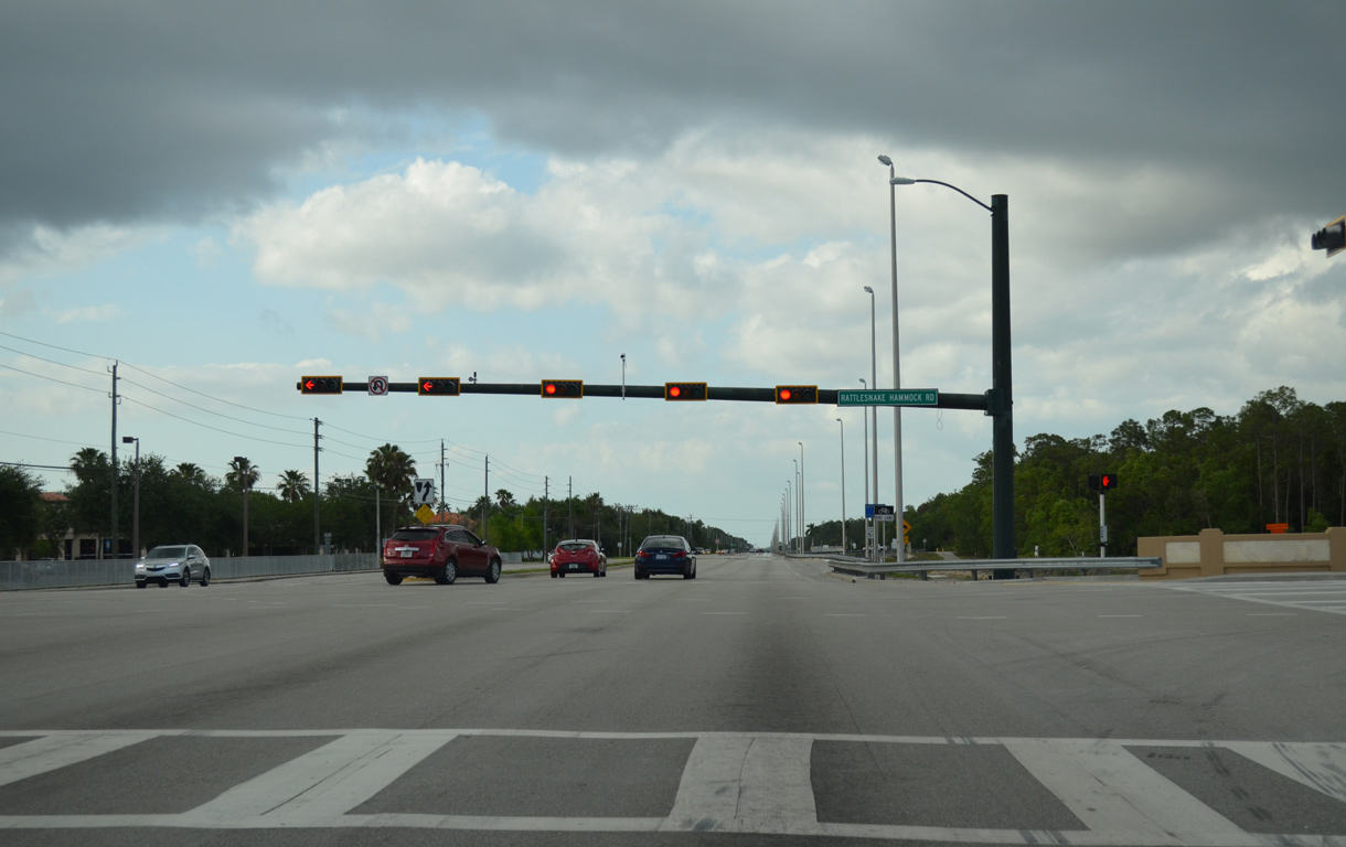
Unmarked along Collier Boulevard northbound, Rattlesnake Hammock Boulevard 3.86 miles west to U.S. 41 (Tamiami Trail) at Thomasson Drive is Collier County Road 864.
05/01/16
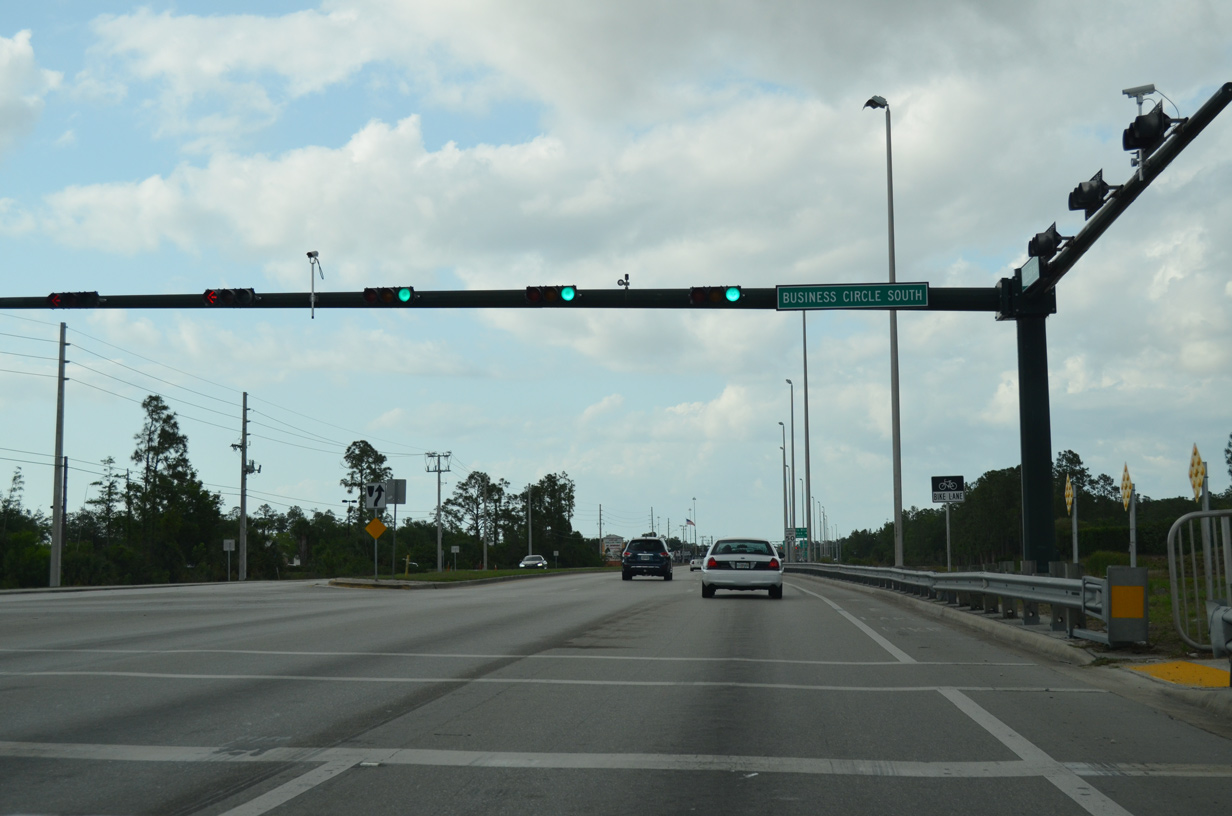
Collier Boulevard progresses north between the Cedar Hammock and Forest Glen golf course developments to a commercial stretch from Business Circle S to Interstate 75 and City Gate Drive.
05/01/16
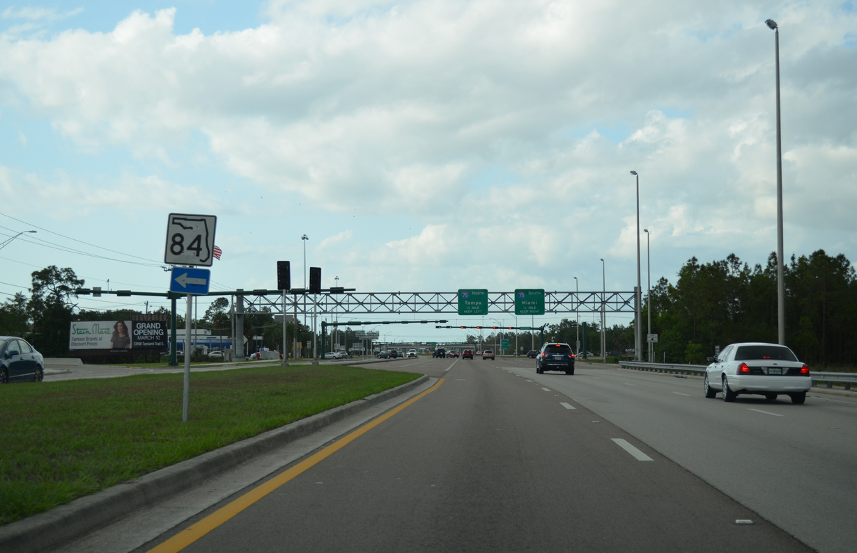
SR 84 (Davis Boulevard) leads 6.46 miles west from Collier Boulevard to U.S. 41 (Tamiami Trail) at the city of Naples. Beck Boulevard (old SR 84) extends east to an industrial park and a pair of RV resorts.
05/01/16
Interstate 75 replaced SR 84 east along Alligator Alley from Collier County to U.S. 27 at Andytown.
05/01/16
North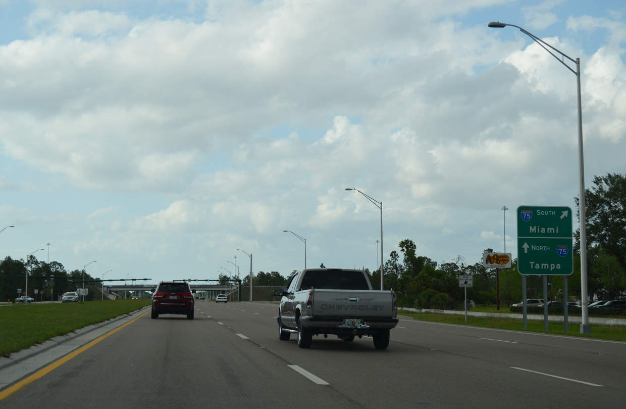
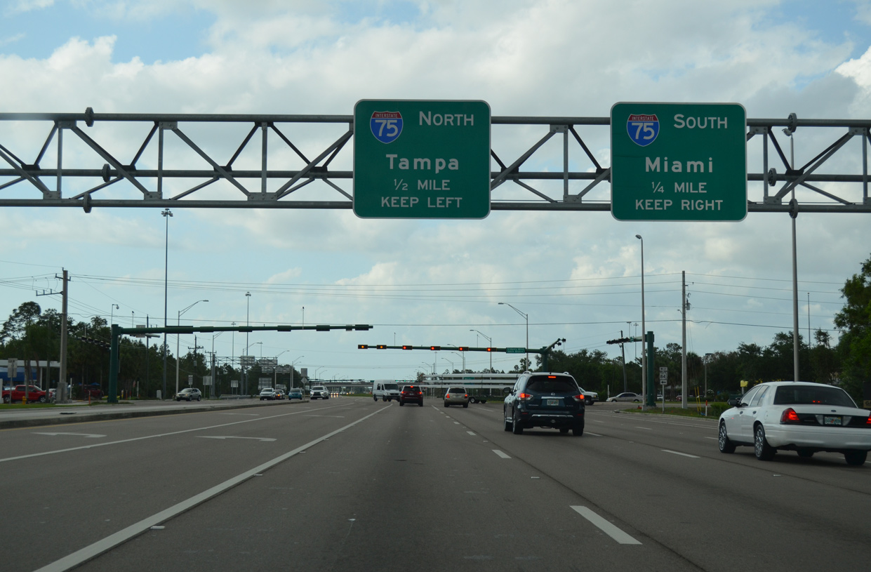
State maintenance resumes along Collier Boulevard north from SR 84 to the diamond interchange with Interstate 75.
05/01/16
SR 951 (Collier Boulevard) maintains eight overall lanes through the exchange with I-75.
05/01/16
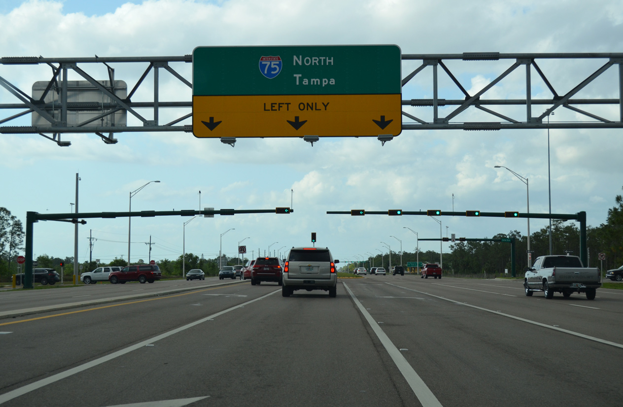
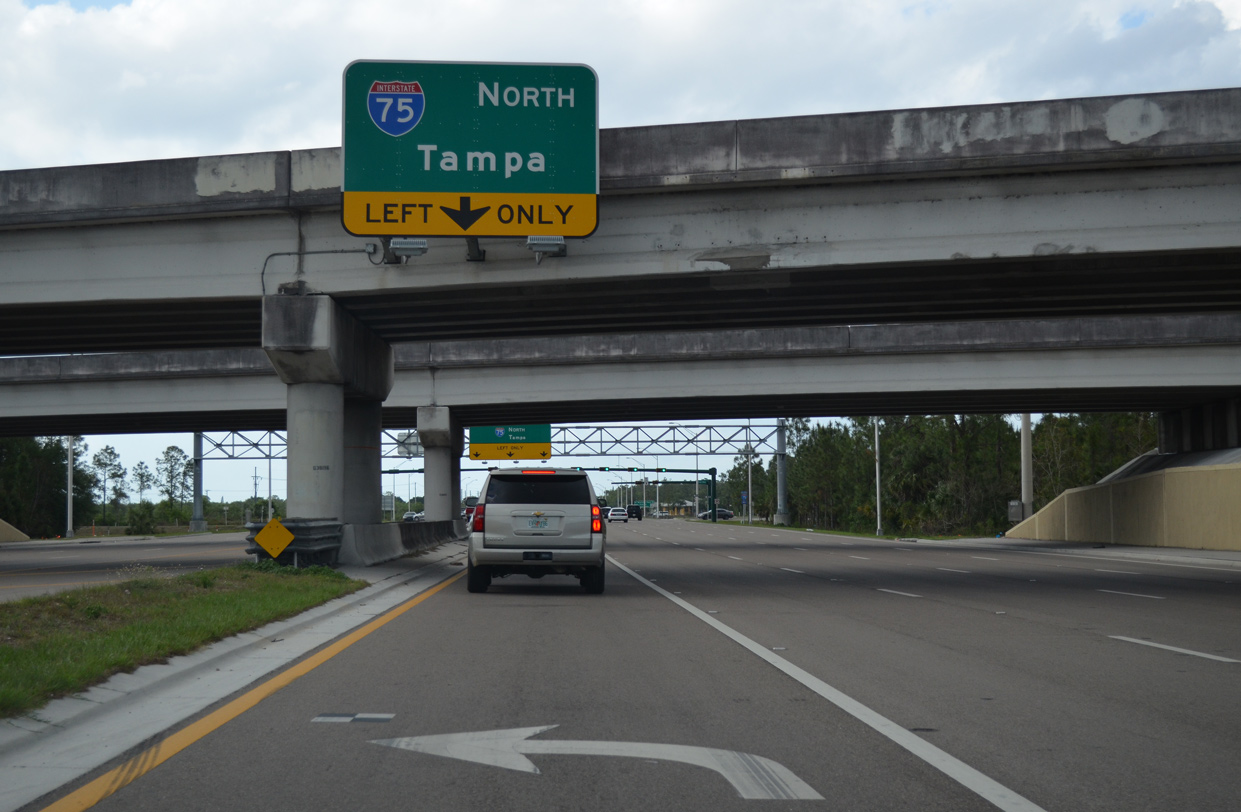
Future road work here will add a loop ramp for Collier Boulevard north to I-75 north toward Fort Myers, Sarasota and Tampa. The at-grade turn for the freeway will remain to serve traffic from SR 84 (Davis Boulevard) and local businesses.
05/01/16
Photo Credits:
- Andy Field: November 1999, 12/30/03
- Alex Nitzman: 05/01/16
Connect with:
Page Updated Monday October 05, 2020.