
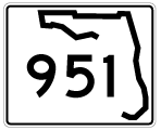
State Road 951 / County Road 951 - South
 South
South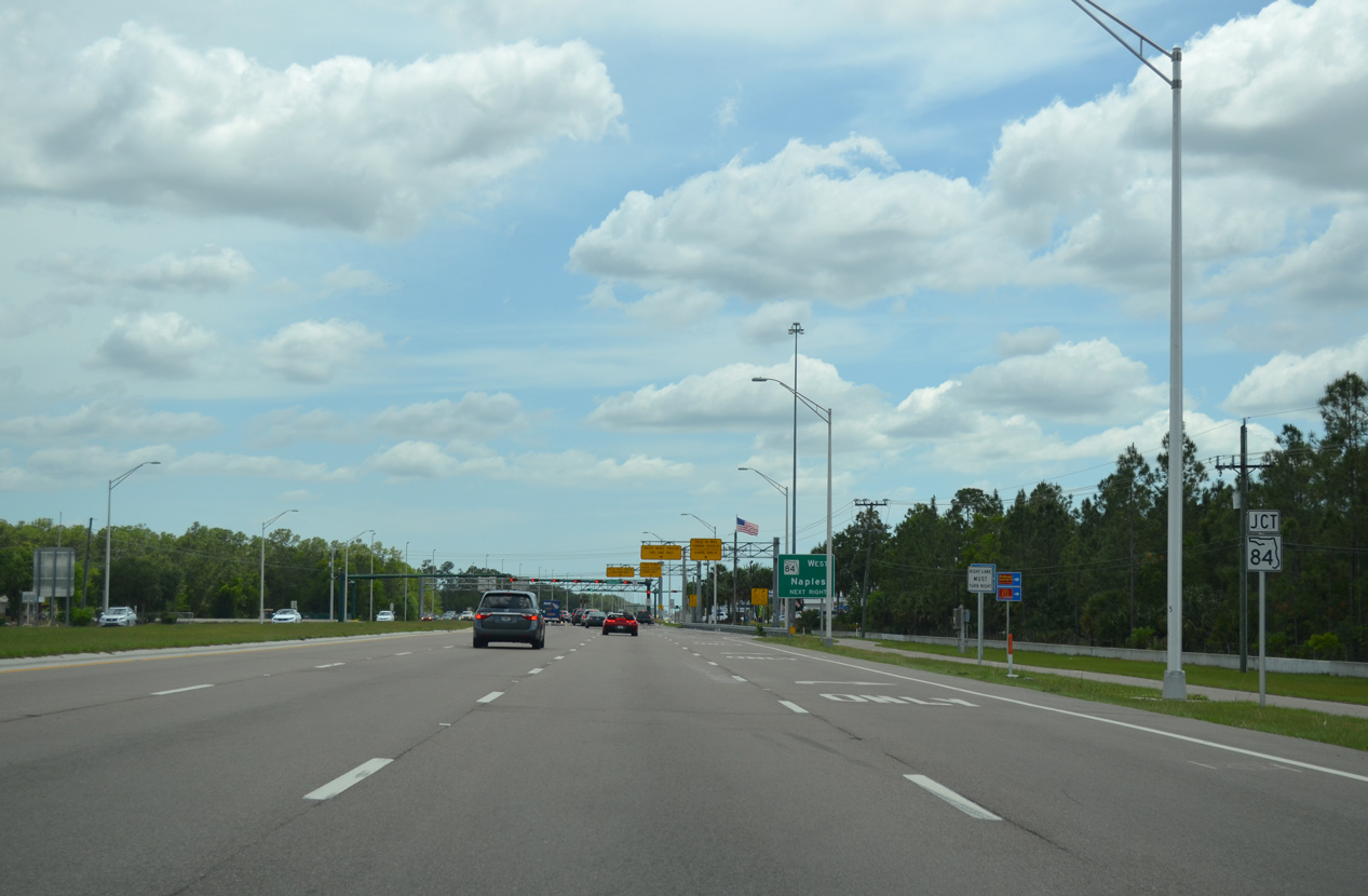
SR 951 (Collier Boulevard) approaches the east end of SR 84 (Davis Boulevard) to the immediate south of Interstate 75.
04/30/16
The western section of State Road 84 lines Davis Boulevard 6.46 miles between SR 951 and U.S. 41 (Tamiami Trail) through East Naples.
04/30/16
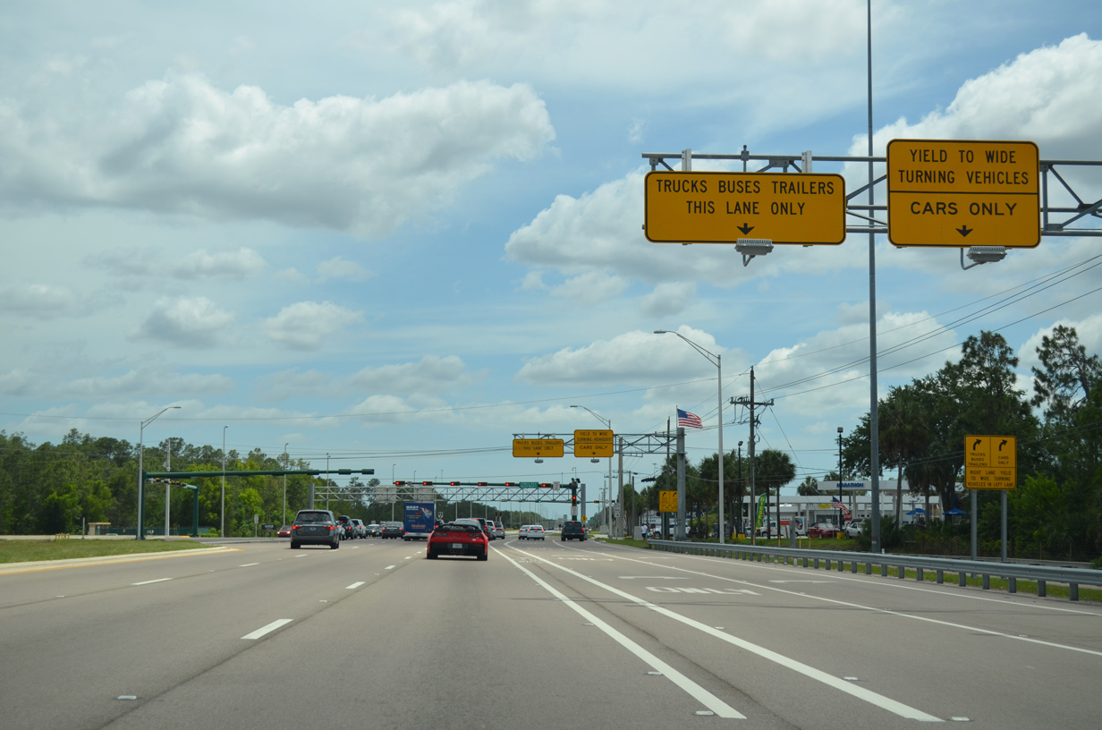
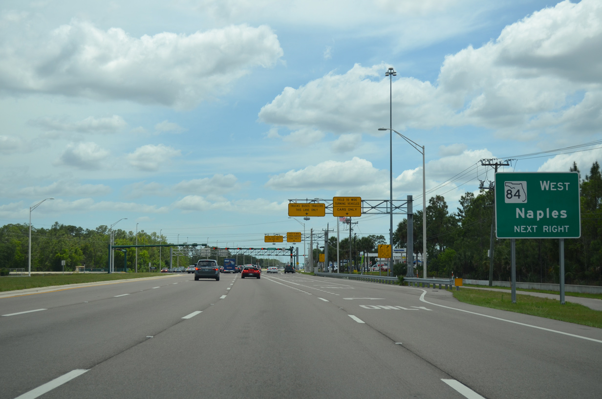
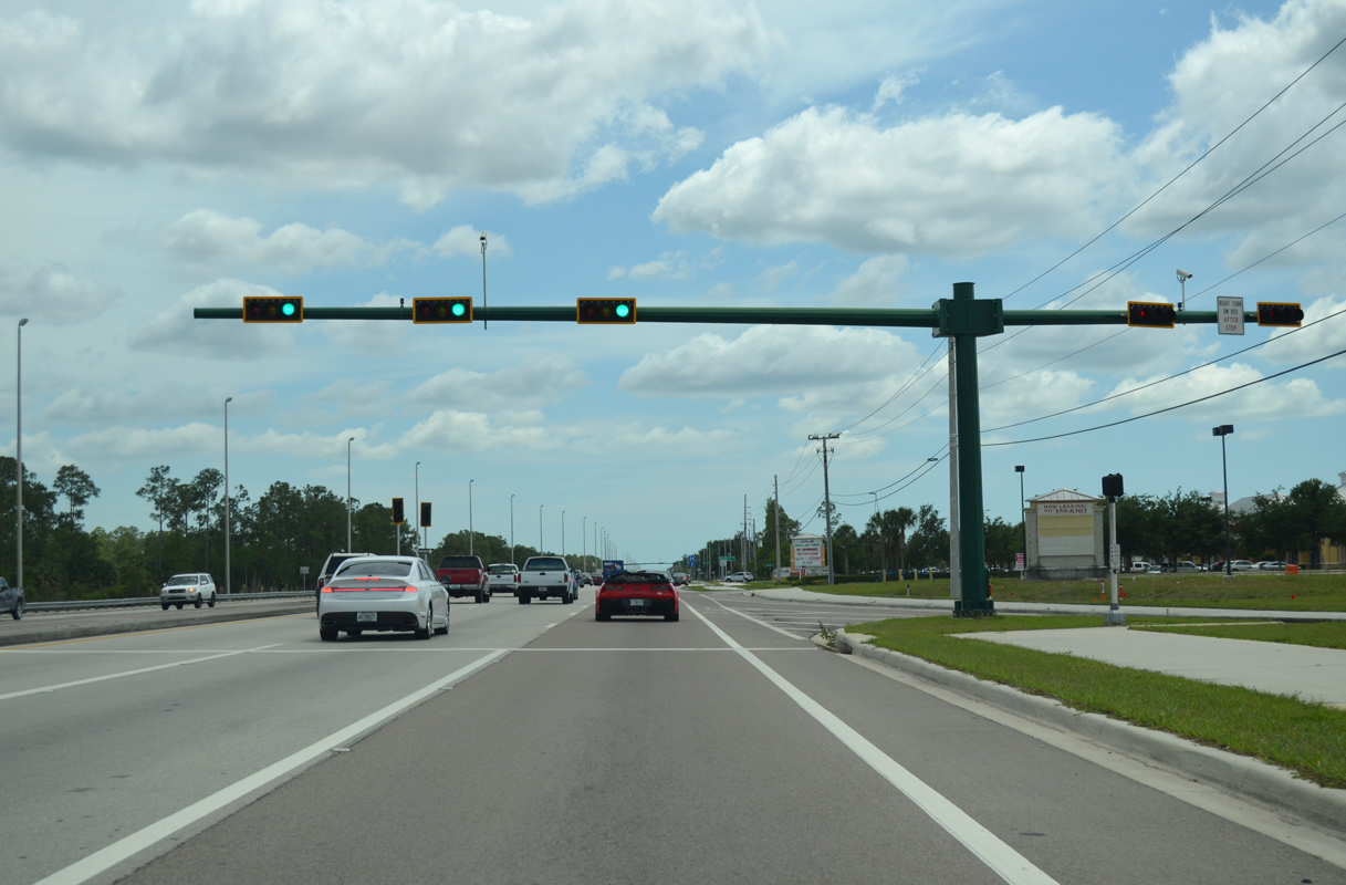
An array of signs partition truck and bus traffic turning from Collier Boulevard south to SR 84 (Davis Boulevard) west. Davis Boulevard initially leads west with two lanes before expanding to three at Market Street.
04/30/16
SR 84 historically connected Naples and Southwest Florida with Broward County and Fort Lauderdale as the predecessor to Interstate 75. Beck Boulevard east to Benfield Road represents the former state road east to Alligator Alley.
04/30/16
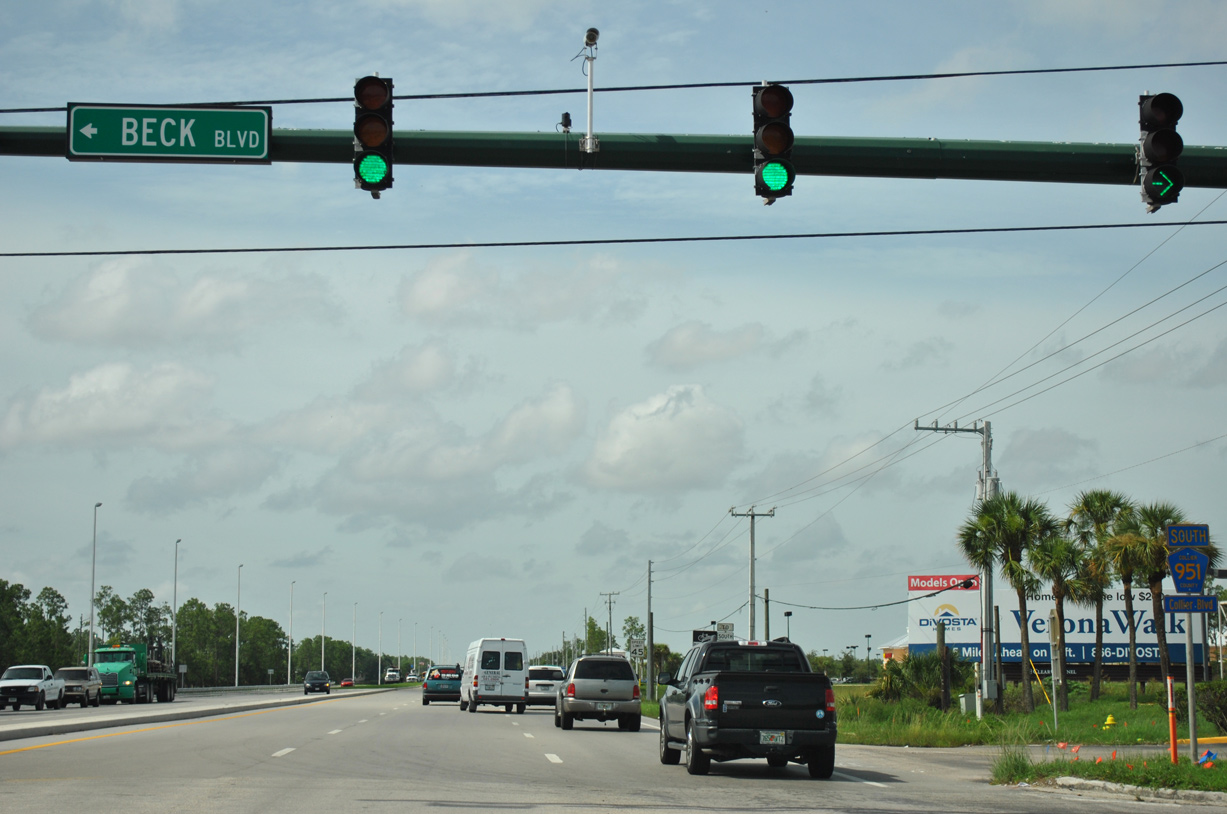
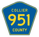
A confirming marker for County Road 951 along Collier Boulevard south was previously posted just beyond SR 84 and Beck Boulevard.
07/05/11
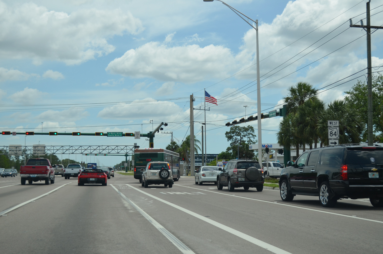
Collier Boulevard continues south with six lanes from SR 84 (Davis Boulevard) to U.S. 41 (Tamiami Trail). This stretch is unmarked as CR 951.
04/30/16
A single lane ramp from SR 84 (Davis Boulevard) east to Collier Boulevard south merges with CR 951 south at the ensuing traffic light.
04/30/16
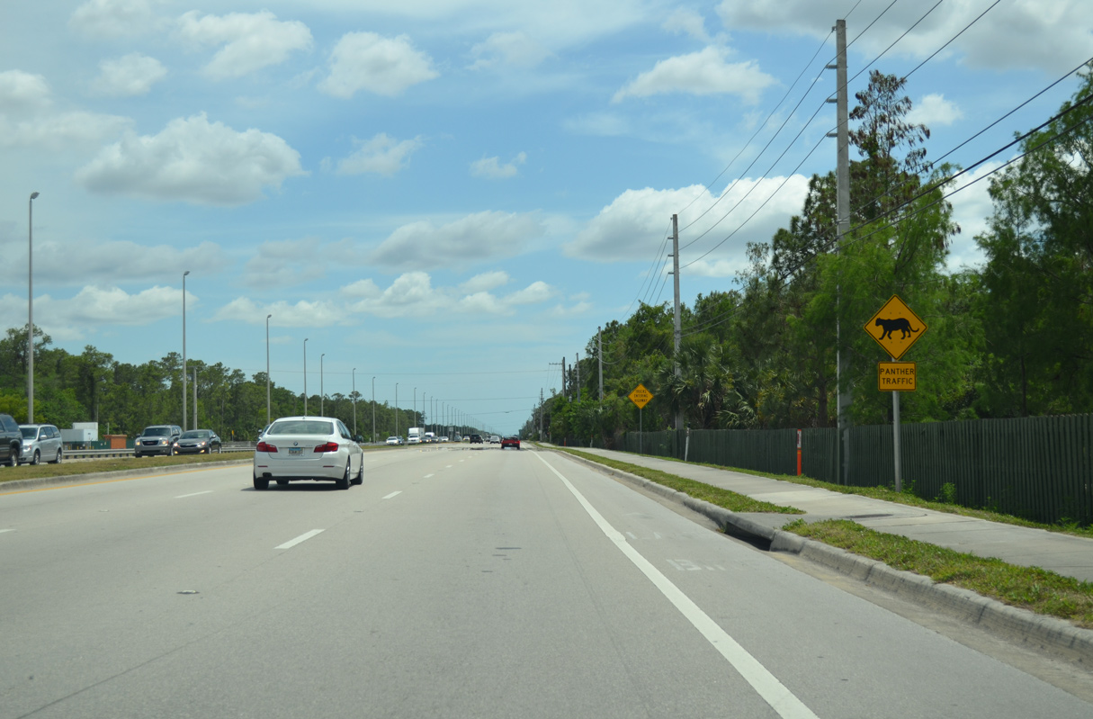
Advancing south from Naples National Golf Club, Collier Boulevard approaches Serenity Walk Park.
04/30/16
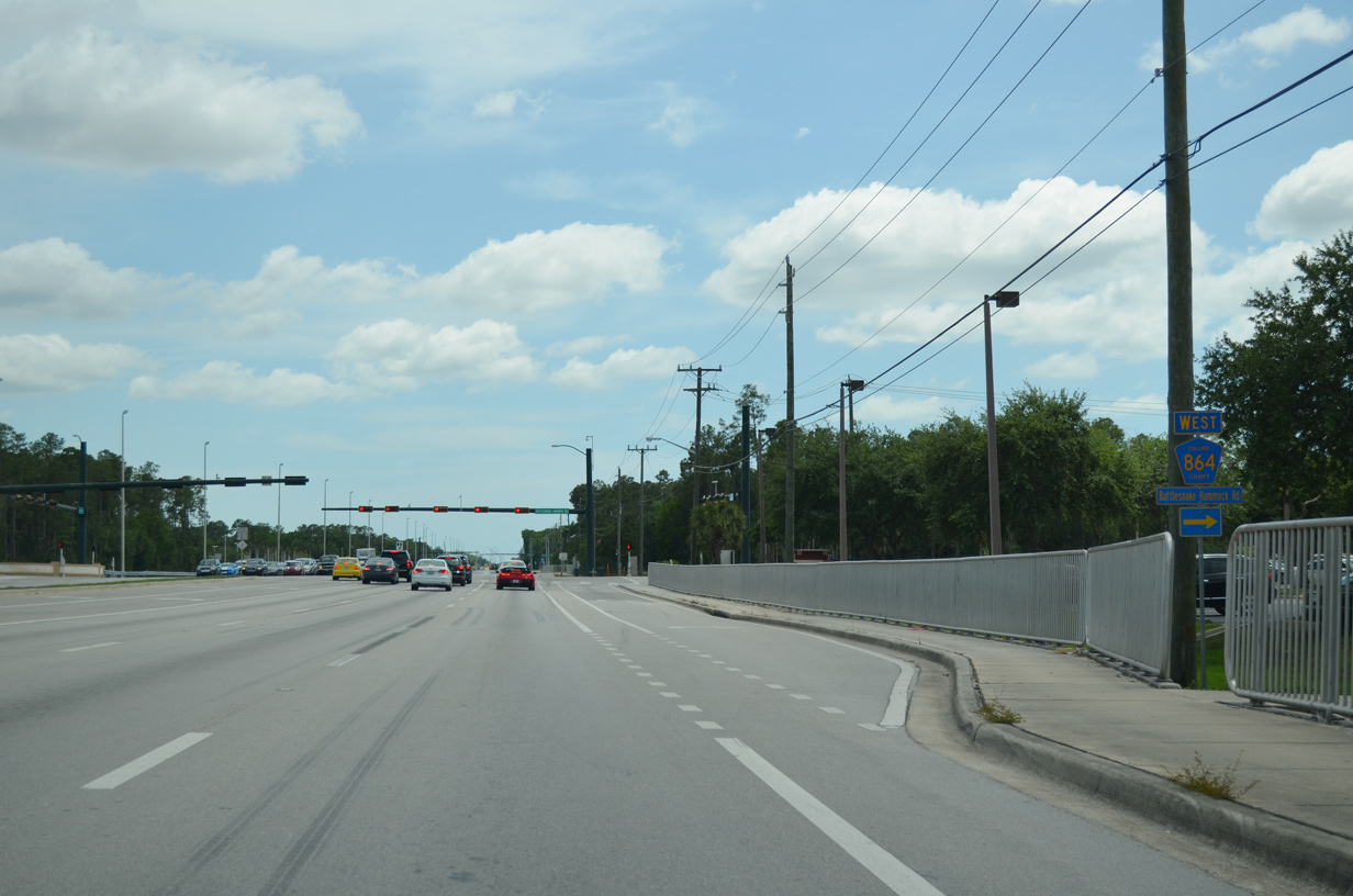
Collier Boulevard (CR 951) south and CR 864 (Rattlesnake Hammock Road) east converge to the southeast of Naples Lakes Country Club at forthcoming Naples Lake Village shopping center.
04/30/16
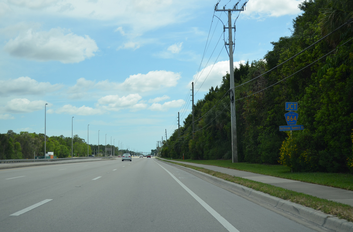
County Road 864 (Rattlesnake Hammock Road) links Collier Boulevard (CR 951) with U.S. 41 (Tamiami Trail) 3.86 miles to the west. Rattlesnake Hammock Road spurs east to newer suburban development.
04/30/16
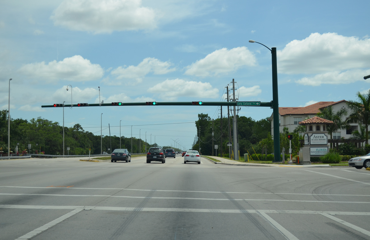
Lely Cultural Parkway winds west from CR 951 and Physicians Regional Medical Center to Classics Country Club golf course community and Grand Lely Drive near Florida Southwestern State College - Collier.
04/30/16
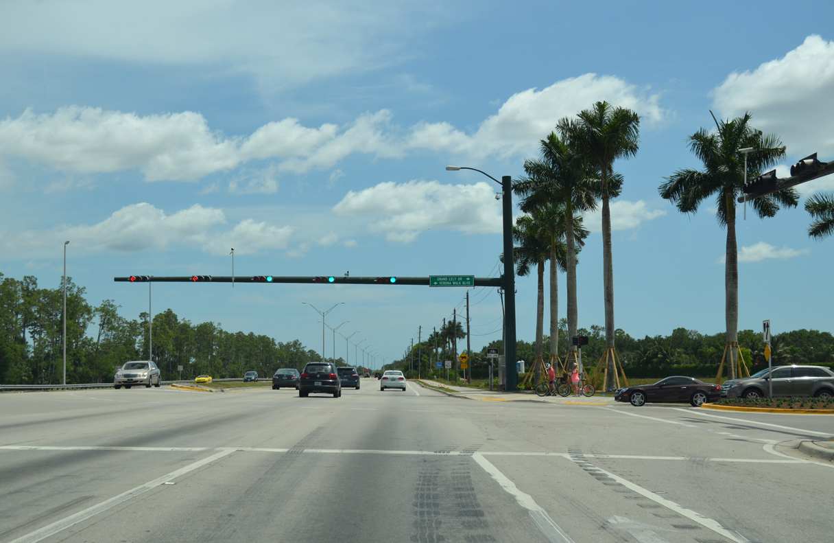
Grand Lely Drive arcs southeast from CR 846 (Rattlesnack Hammock Road) to meet Collier Boulevard (CR 951) across from the Vernonawalk development.
04/30/16
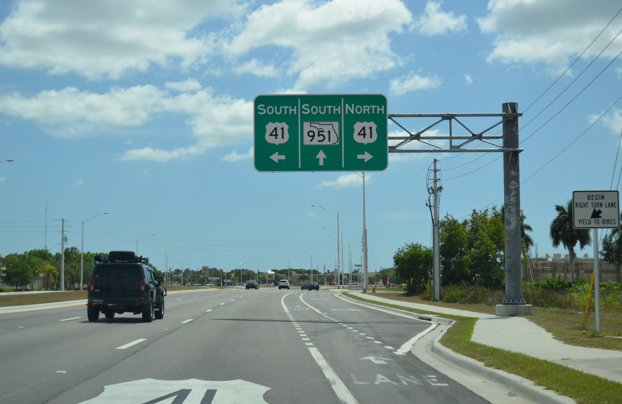
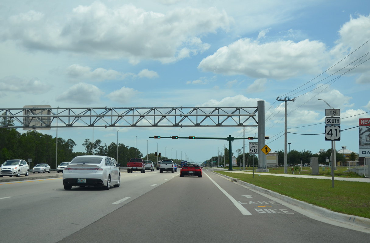
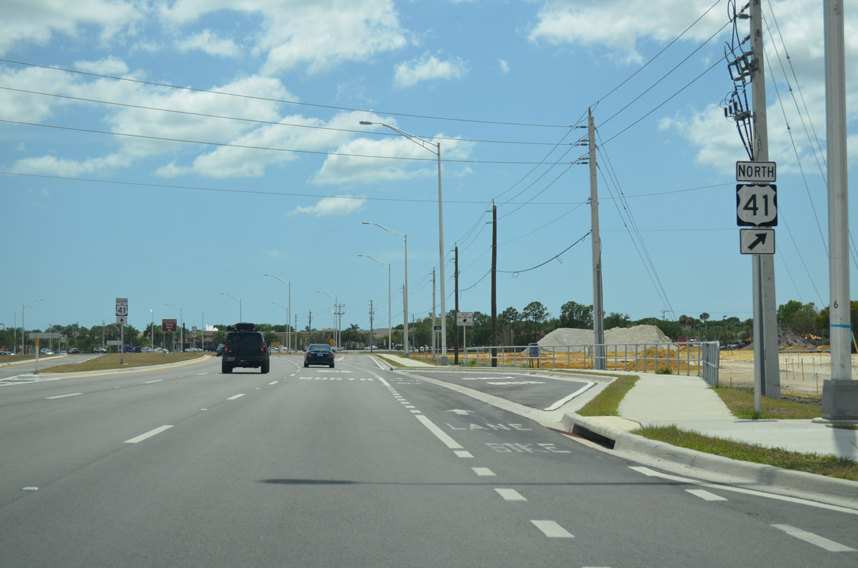
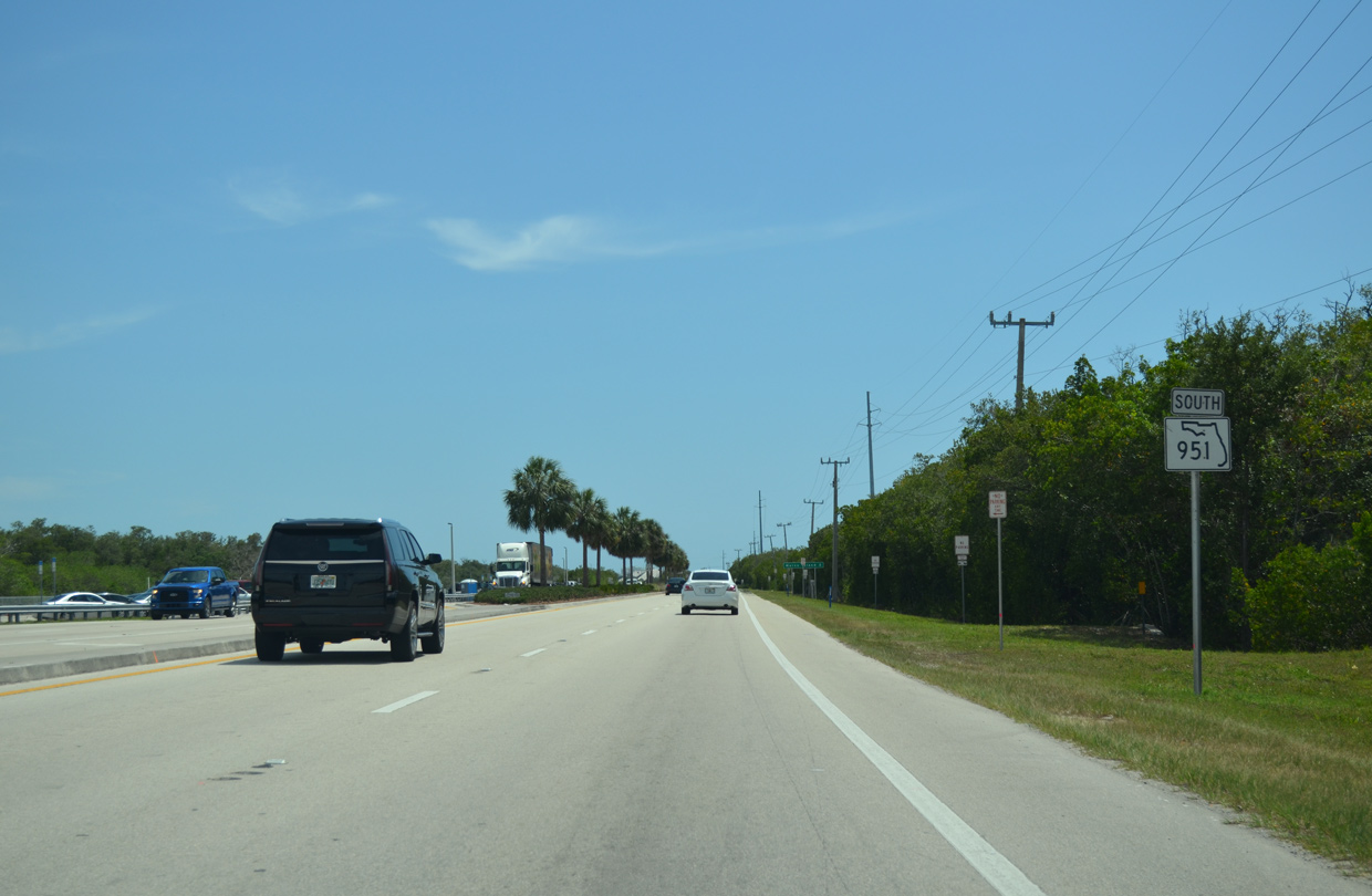
State Road 951 resumes along Collier Boulevard south from U.S. 41 (Tamiami Trail). A six lane arterial, U.S. 41 angles northwest 7.4 miles to the city of Naples and southeast 2.9 miles to suburban development at Abiaka Way.
04/30/16
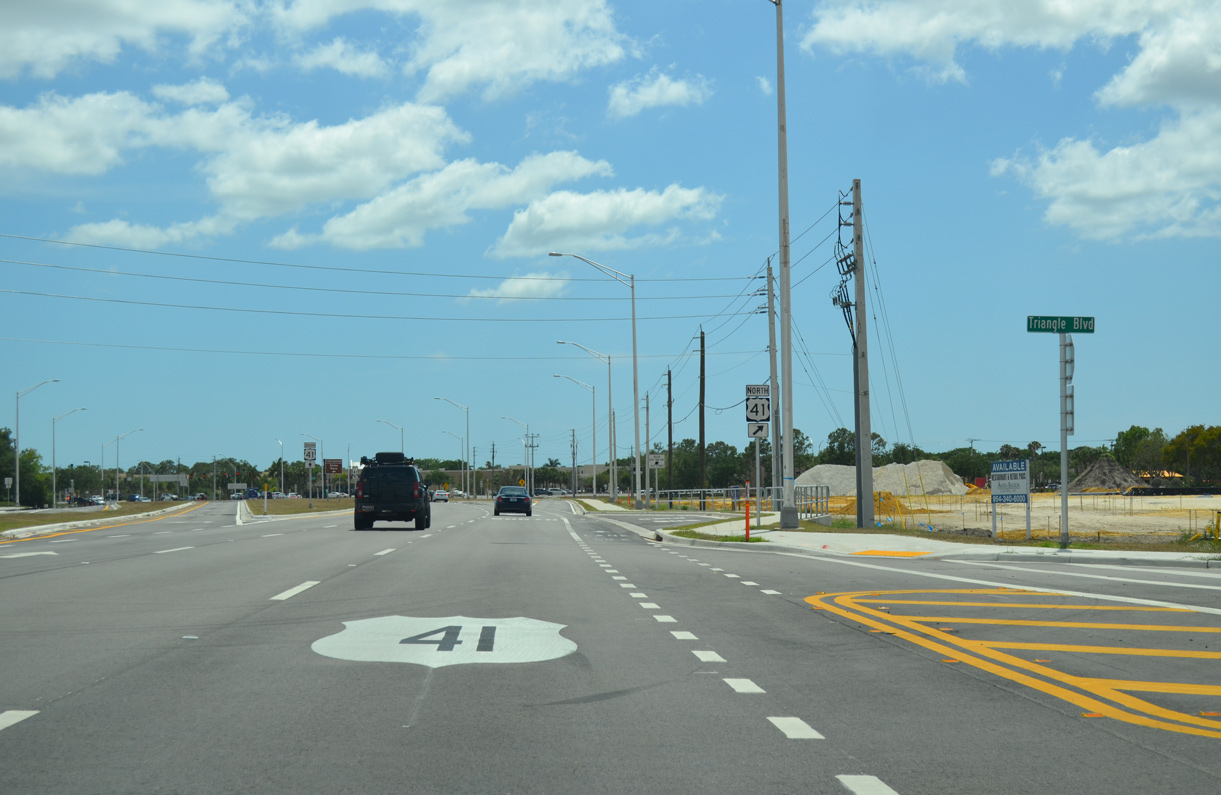
Triangle Boulevard loops west around Freedom Square shopping center and other retail to connect with U.S. 41 (Tamiami Trail) at Price Street.
04/30/16
The turn lane for U.S. 41 north to Naples separates from Collier Boulevard southbound well ahead of the commercialized intersection between SR 951 and Tamiami Trail.
04/30/16

Joining Southwest Florida with South Florida, U.S. 41 travels across the Everglades via Carnestown and Ochopee.
04/30/16
South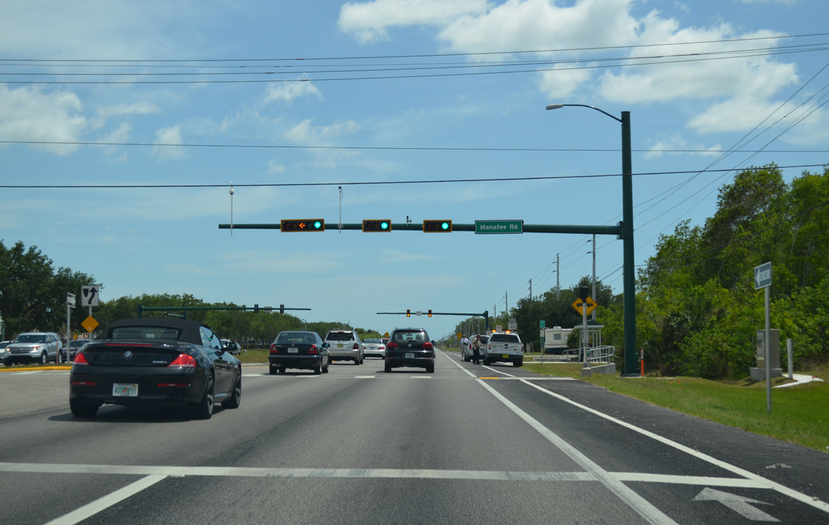
SR 951 (Collier Boulevard) crosses Henderson Creek and next intersects Mantaee Road east.
04/30/16
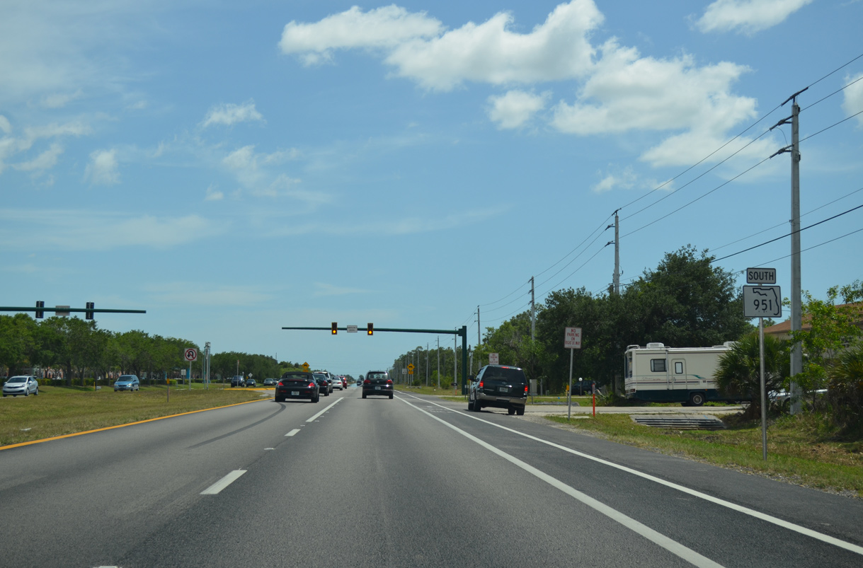
A reassurance marker for SR 951 appears along Collier Boulevard south of Manatee Road.
04/30/16
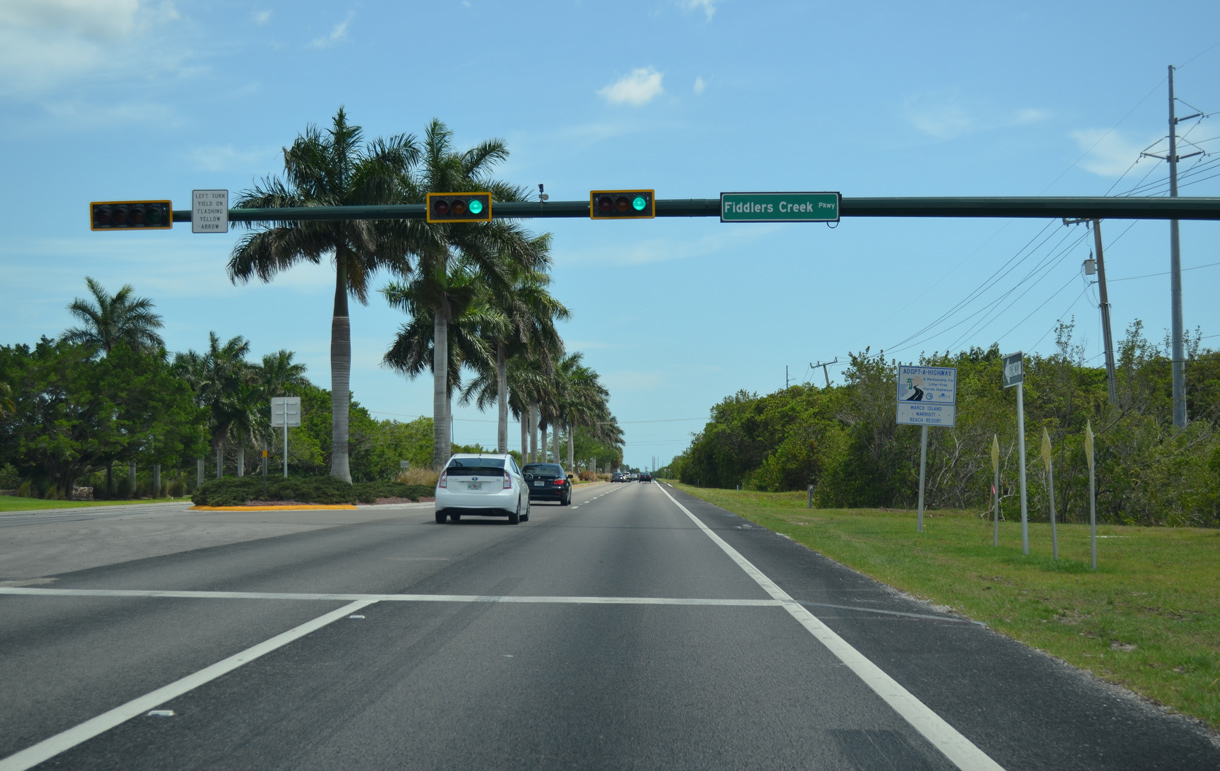
Fiddlers Creek Parkway winds northeast from SR 951 to the Rookery at Marco and Fiddler's Creek golf course communities.
04/30/16
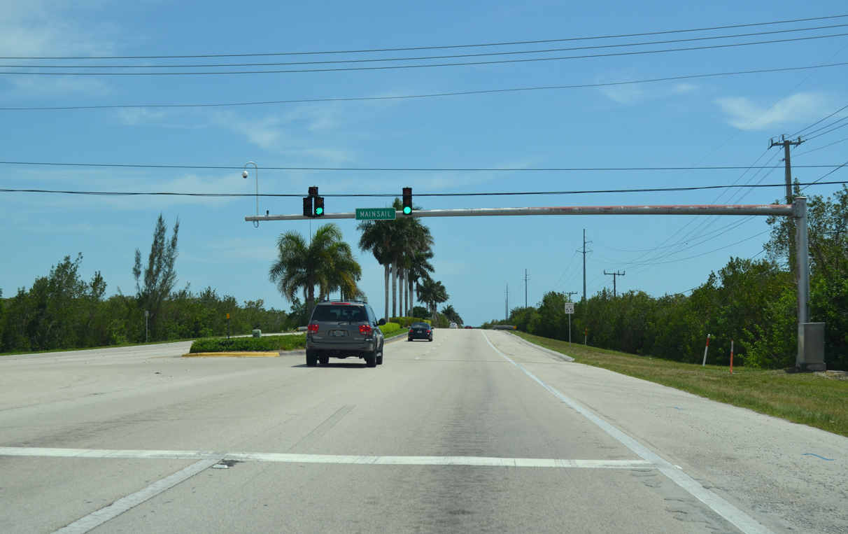
Mainsail Drive spurs east from this signal with Collier Boulevard to Hammock Bay Golf & Country Club and Marco Island Executive Airport (MRK).
04/30/16
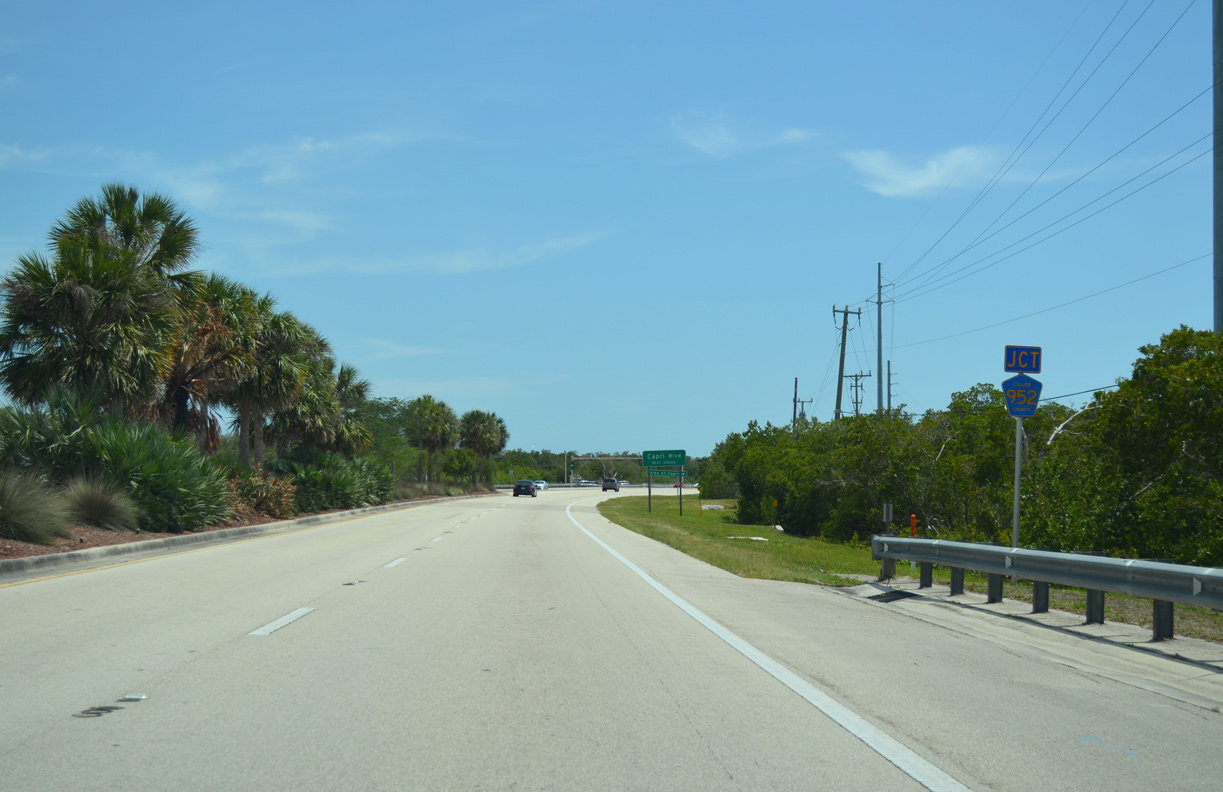
State Road 951 crosses McIvane Bay ahead of Collier County Road 952 (Capri Boulevard) west.
04/30/16

The Isles of Capri is a small coastal community between Johnson and Tarpon Bays off the Marco River and Gulf of Mexico.
04/30/16
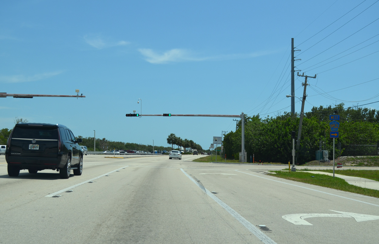
CR 952 spurs 2.59 miles west along Capri Boulevard from SR 951 to Pelican Street.
04/30/16
The last shield for SR 951 along Collier Boulevard southbound stands beyond the east end of CR 952 (Capri Boulevard).
04/30/16
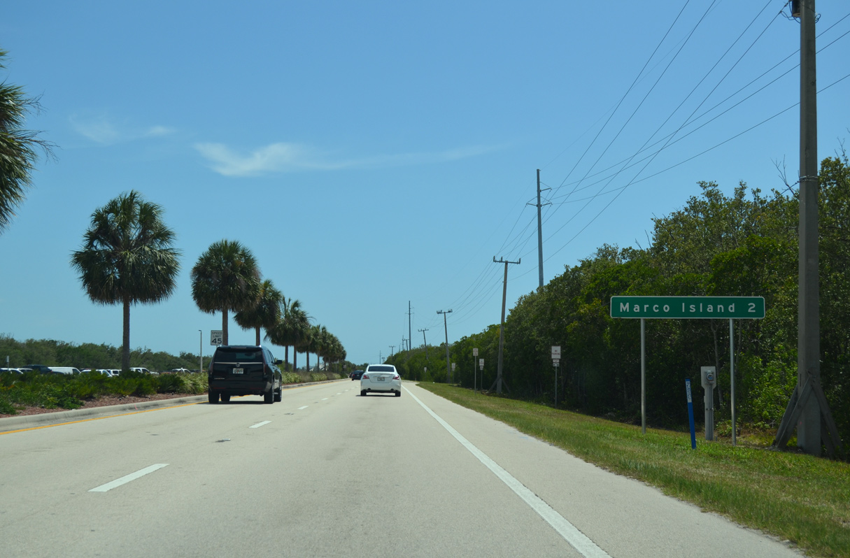
Collier Boulevard continues another two miles south from Capri Boulevard to the city of Marco Island.
04/30/16
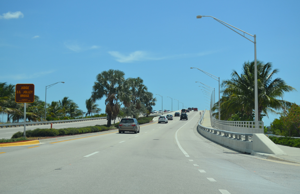
Collier Boulevard rises onto the S.S. Jolley Bridge from Bear Point across the Marco River. The southbound span was completed in October 5, 2011 after less than two years of construction.
04/30/16
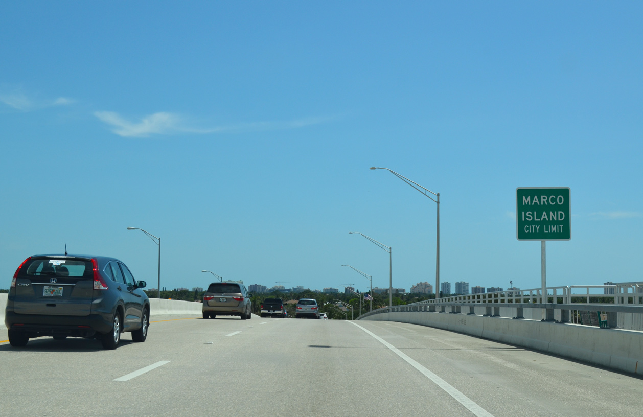
Entering the Marco Island city limits, midway across the S.S. Jolley Bridge on SR 951 southbound.
04/30/16
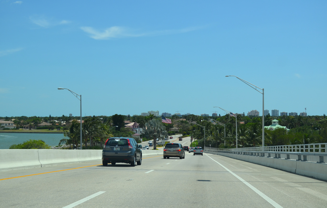
A series of canal lined streets spread along East Marco Bay to the southeast of the S.S. Jolley Bridge. Collier Boulevard turns west toward the Marco Island commercial center along the ensuing stretch.
04/30/16
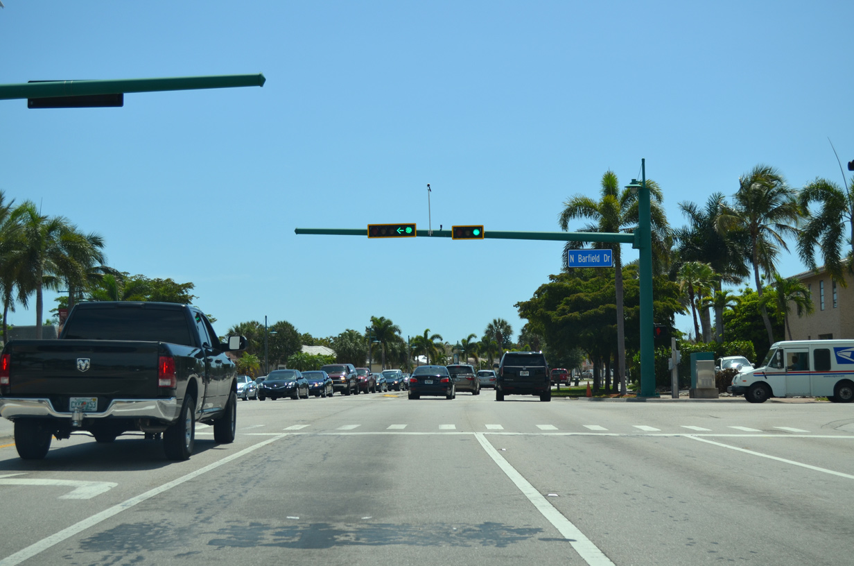
State Road 951 concludes at the south end of the S.S. Jolley Bridge. Collier Boulevard continues west as unsigned CR 951 to Barfield Drive.
04/30/16
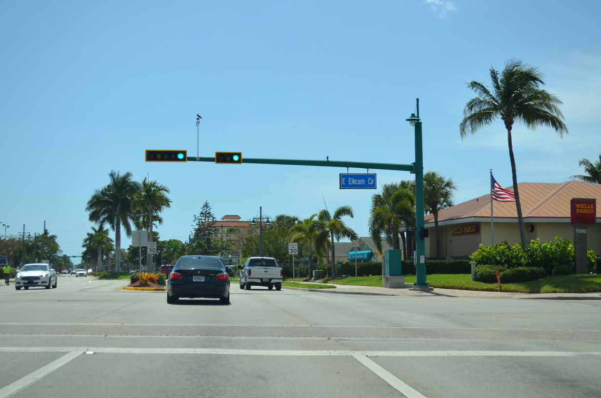
East Elkcam Circle loops around the Marco Town Center retail complex to the south and heads north to the Marco Island Water Treatment Facility and Barfield Drive.
04/30/16
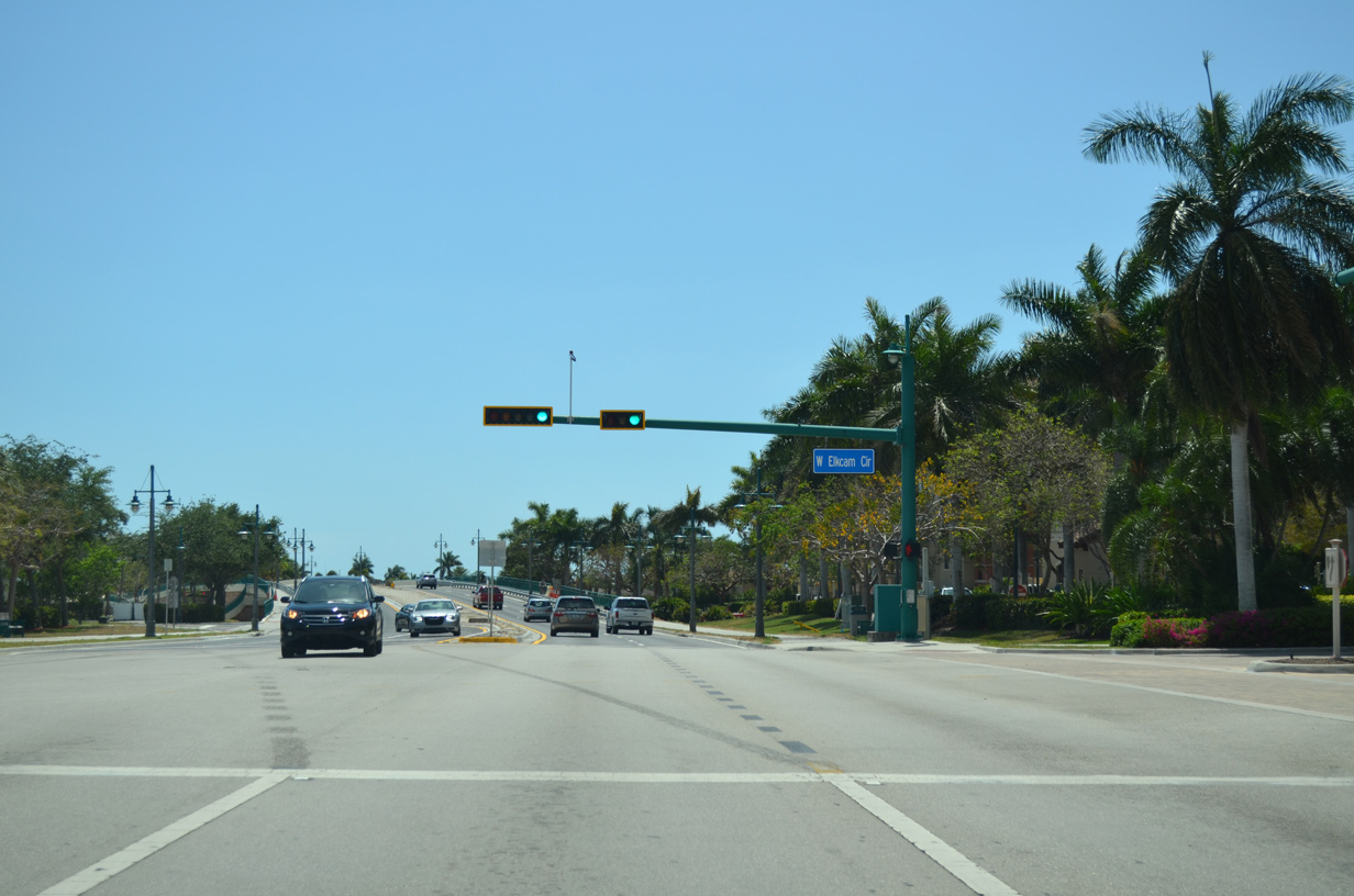
West Elkham Circle parallels Bald Eagle Drive (CR 953) north between a series of condominiums and townhomes along Smokehouse Bay.
04/30/16
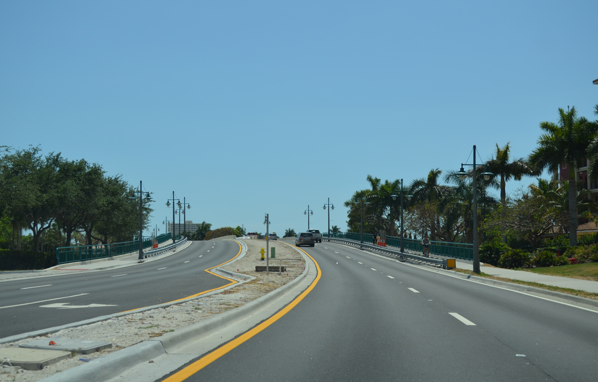
Collier Boulevard curves southwest from West Elkcam Circle across an inlet with Smokehouse Bay.
04/30/16
Collier Boulevard advances south by a number of condominium complexes to Resident's Beach and the west end of San Marco Road (CR 92). San Marco Road travels east across the Marco Island and returns to the mainland via the Goodland Bridge.
12/30/03
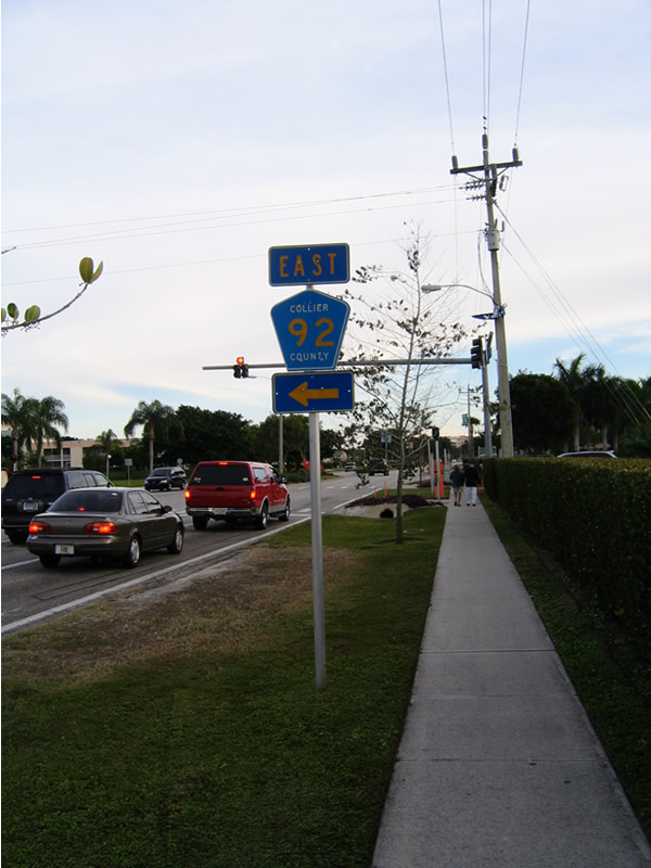
Removed during a landscaping project by 2008, a lone shield assembly referenced San Marco Road as CR 92 on Collier Boulevard. CR 92 comprises an 11.45 mile long loop to U.S. 41 west of Big Cypress National Preserve.
12/30/03
Photo Credits:
- Alex Nitzman: 04/30/16
- ABRoads: 07/05/11
- Andy Field: 12/30/03
Connect with:
Page Updated Monday October 05, 2020.