Traveling along western fringes of the Miami metropolitan area, Florida State Road 997 connects SR 998 (SW 312th Street) in Homestead with U.S. 27 northwest of Hialeah. Following Krome Avenue, the highway generally passes through undeveloped rural and agricultural areas. Hurricane Andrew in August 1992 devastated the area around Homestead, and SR 997 passes through the heart of this area. The state road measures 33.86 miles in length.
SR 997 was designated in the late 1980s in place of State Road 27. SR 27 was renumbered to SR 997 along Krome Avenue, and to SR 9336 from Krome Avenue in Florida City to Everglades National Park. The redesignations were made to reduce confusion between SR 27 and U.S. 27 through South Florida.
SR 997 extended 36.7 miles south to U.S. 1 in Homestead until 2018, when Krome Avenue (SW 177th Avenue) was relinquished from state maintenance south of NE 8th Street. NE 8th Street was designated as SR 998 to link SR 997 with U.S. 1 (Homestead Boulevard)
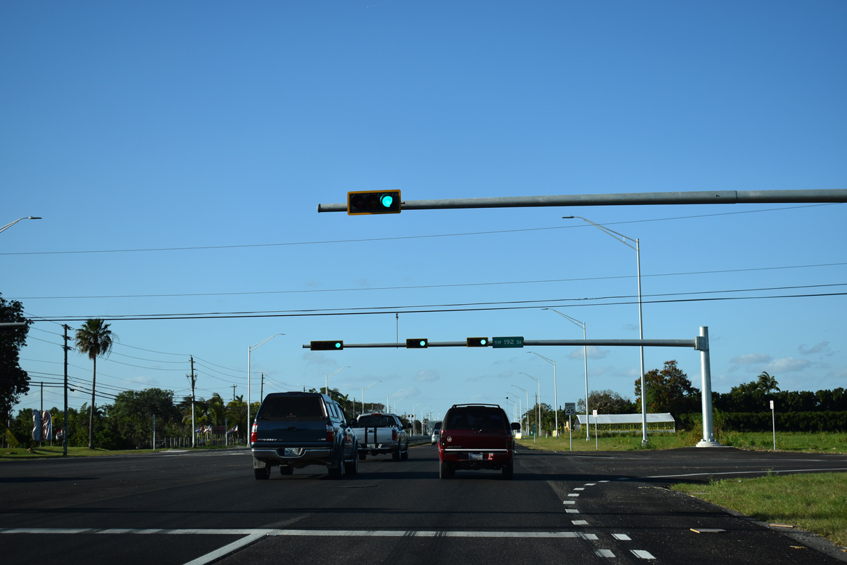
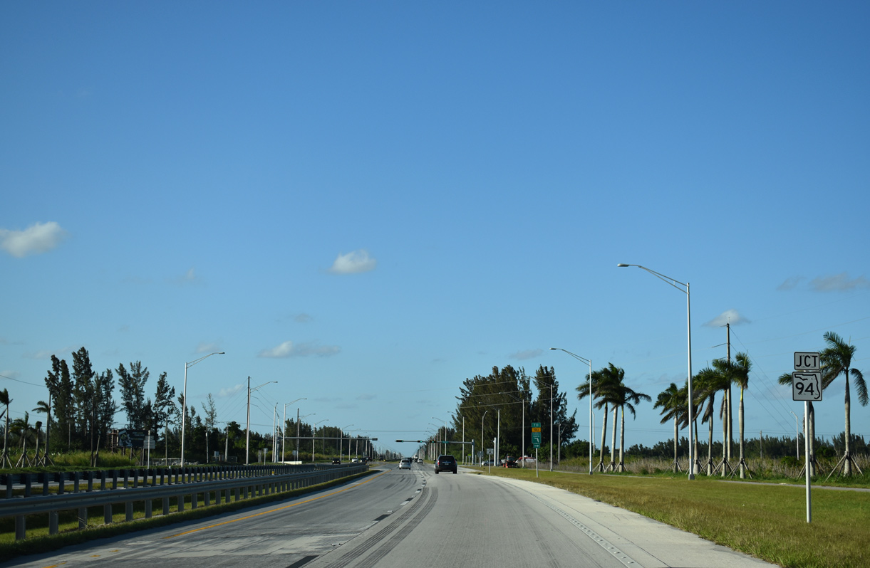
Four laning of Krome Avenue continued with a $59 million project between SR 94 (Kendall Drive) to north of U.S. 41 (Tamiami Trail). Work from February 2015 to November 2018 included the realignment of the intersections with SR 94 and U.S. 41 and the addition of a multiuse trail throughout the corridor.1 SR 997 north from U.S. 41 (SW 8th Street) to U.S. 27 (Okeechobee Road) was previously expanded during five projects underway from June 2015 to March 2017.2
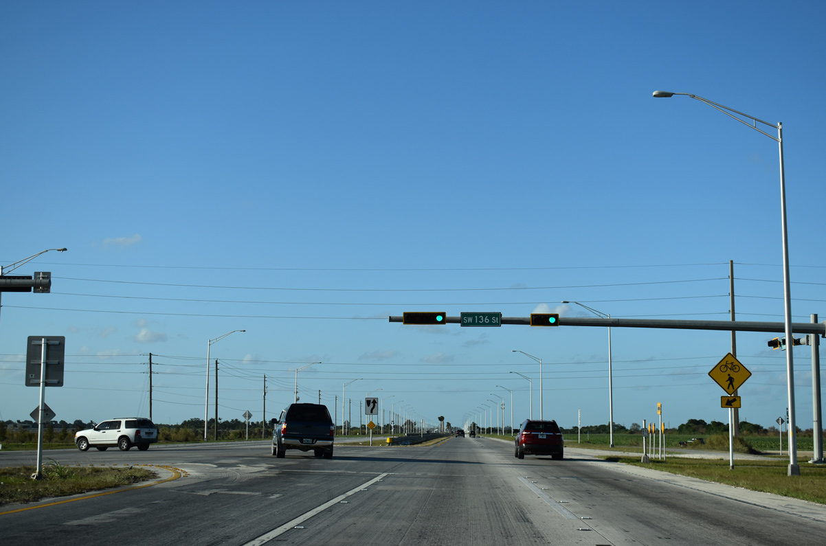
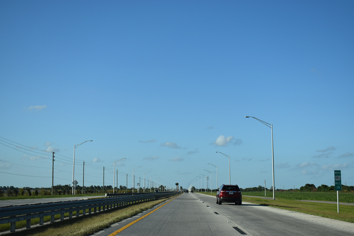
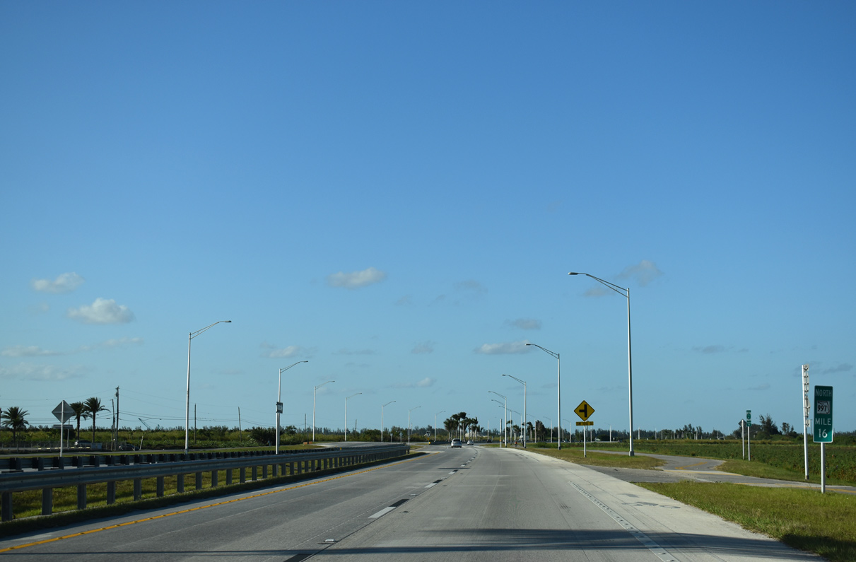
Three separate projects expanded the remainder of SR 997 south from SW 136th Street to SR 998 in Homestead. Projects 427369-2 and 3, from January 2019 to April 2020, widened Krome Avenue between SW 232nd Street and SW 136th Street. Construction on the nine mile portion south from SW 232nd Street ran from September 2019 to March 2021.2
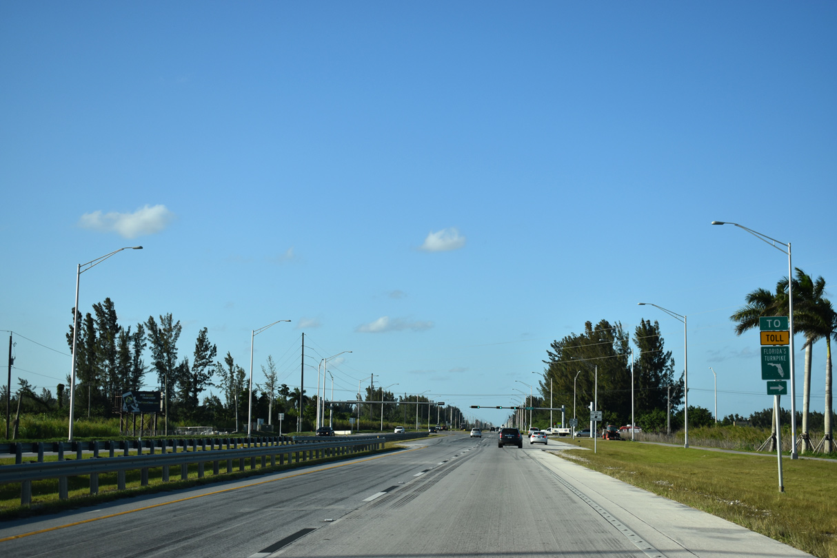
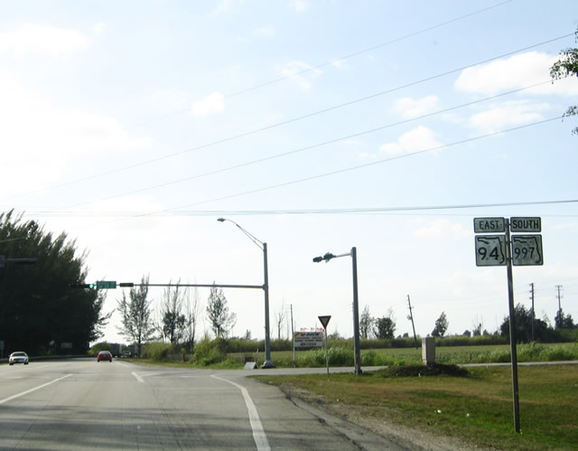
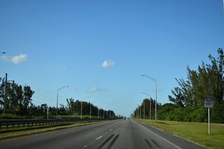
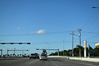
SR 94 (SW 88th Street / Kendall Drive) meets Florida's Turnpike, SR 874 (Don Shula Expressway) and SR 826 (Palmetto Expressway) directly over the course of ten miles.
03/21/20
Measuring 10.70 miles overall, SR 94 travels from SR 997 to U.S. 1 (S Dixie Highway) at Kendall.
03/21/20
03/21/20
03/21/20
03/21/20
03/21/20

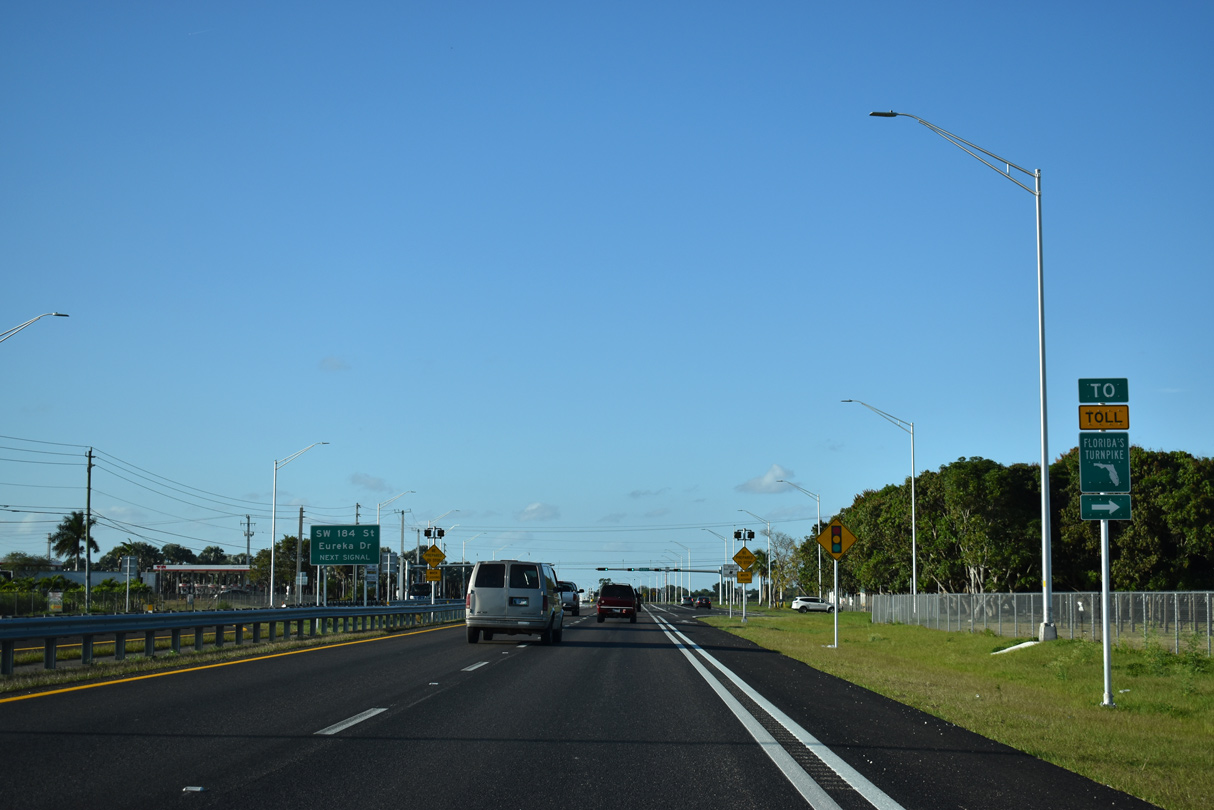
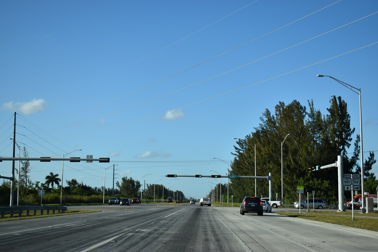
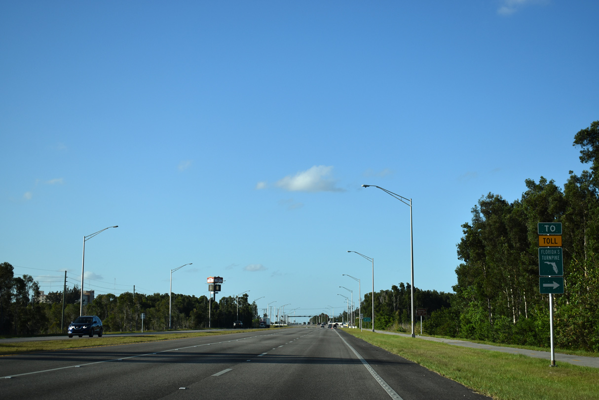
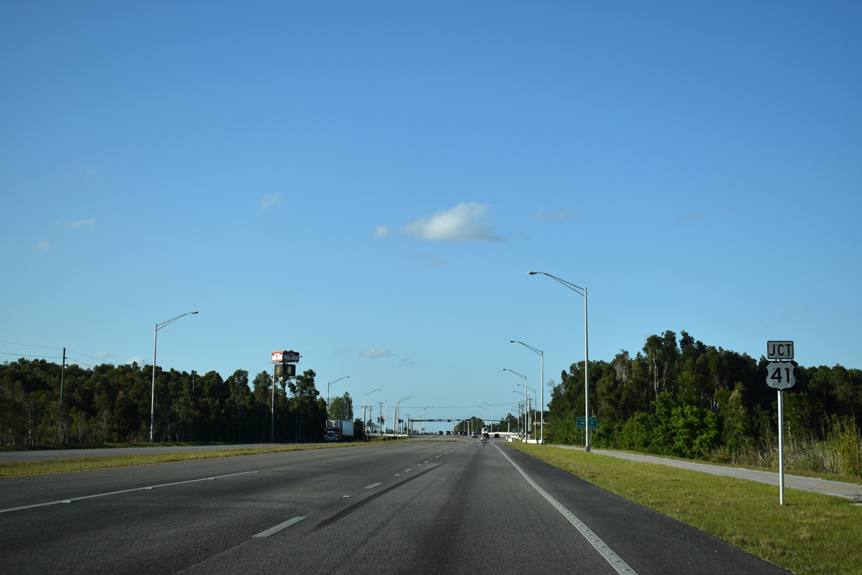
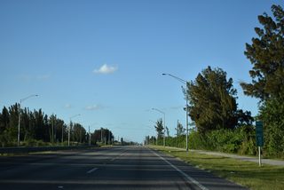
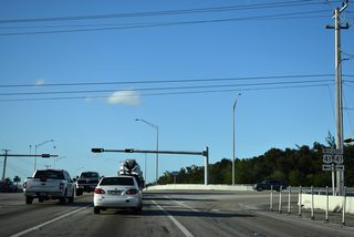
U.S. 41 (Tamiami Trail) is the next route to connect SR 997 (Krome Avenue) northbound with Florida's Turnpike. Tamiami Trail and the Homestead Extension converge by Florida International University (FAU) in six miles.
03/21/20

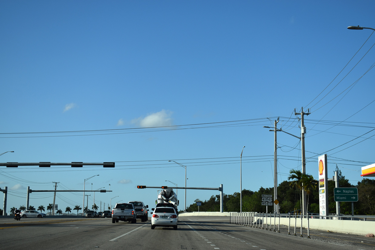
Signed as an east-west route in Miami-Dade County, U.S. 41 originates south of Downtown Miami and joins South Florida with Naples and Collier County in Southwest Florida.
03/21/20
U.S. 41 traverses the Florida Everglades west from SR 997 (Krome Avenue) to areas southeast of Naples and north of Goodland and Marco Island.
03/21/20
Heading east from Krome Avenue, U.S. 41 (Tamiami Trail) transitions into a heavily developed arterial through Tamiami, University Park and Westchester en route to Flagami in west Miami.
03/21/20
03/21/20

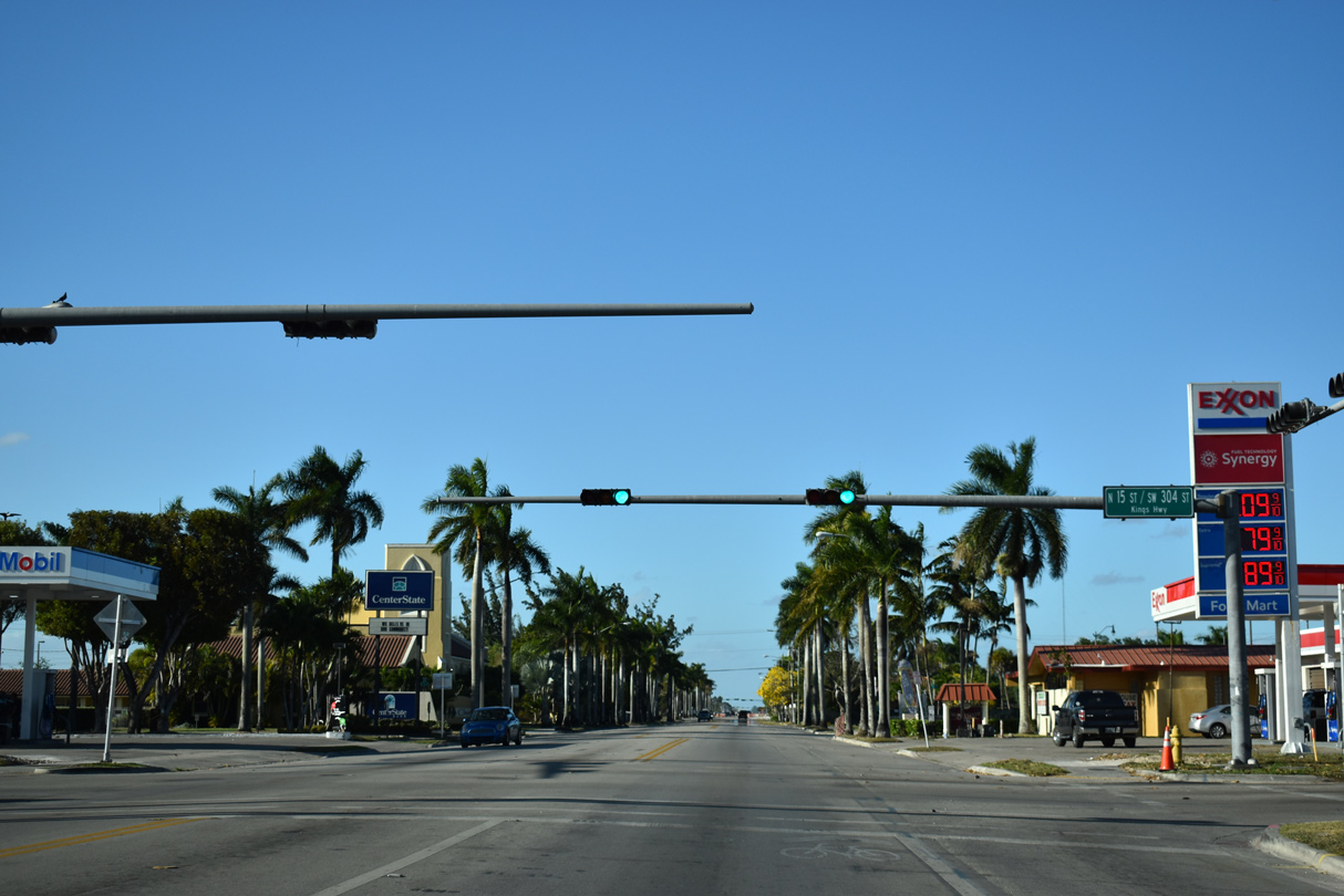
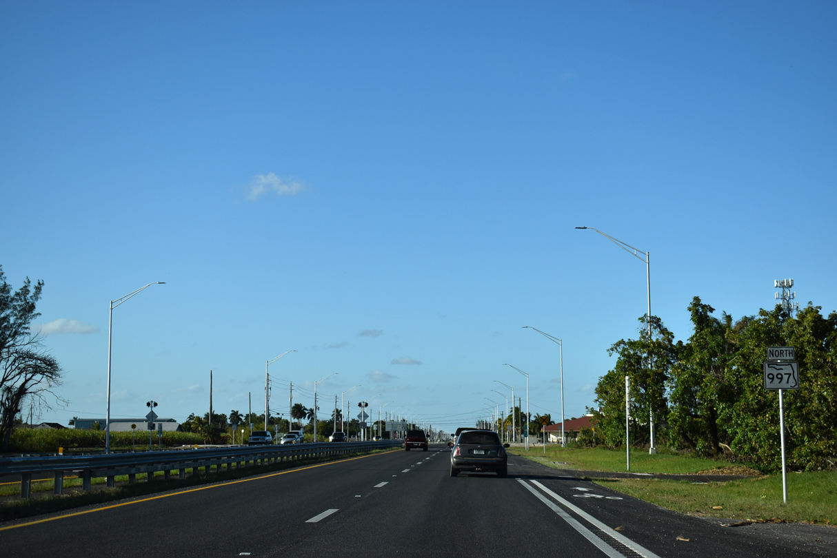
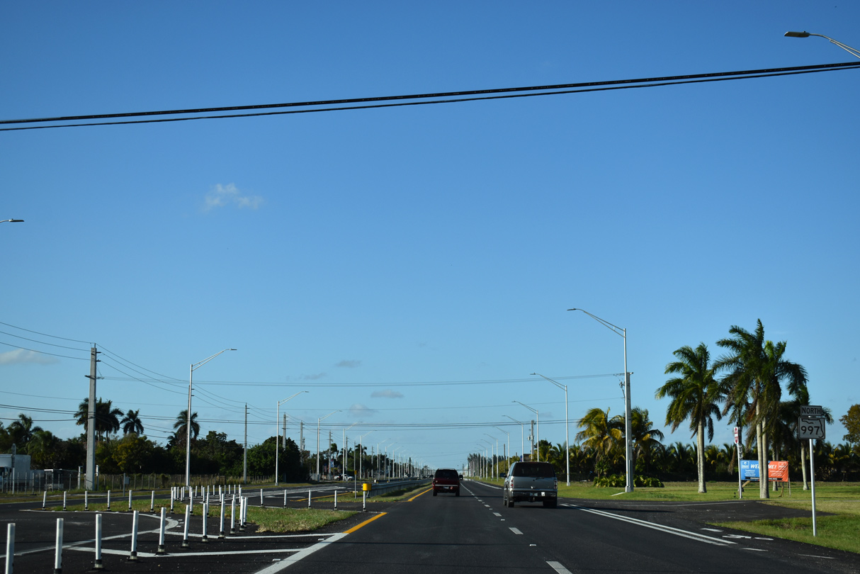
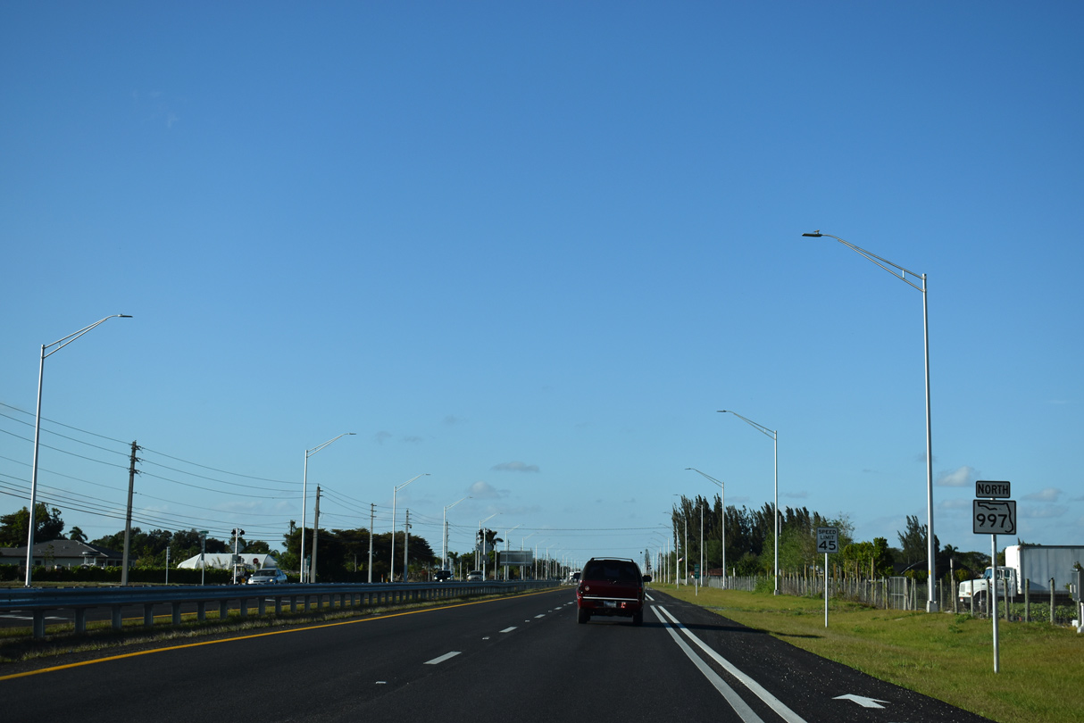
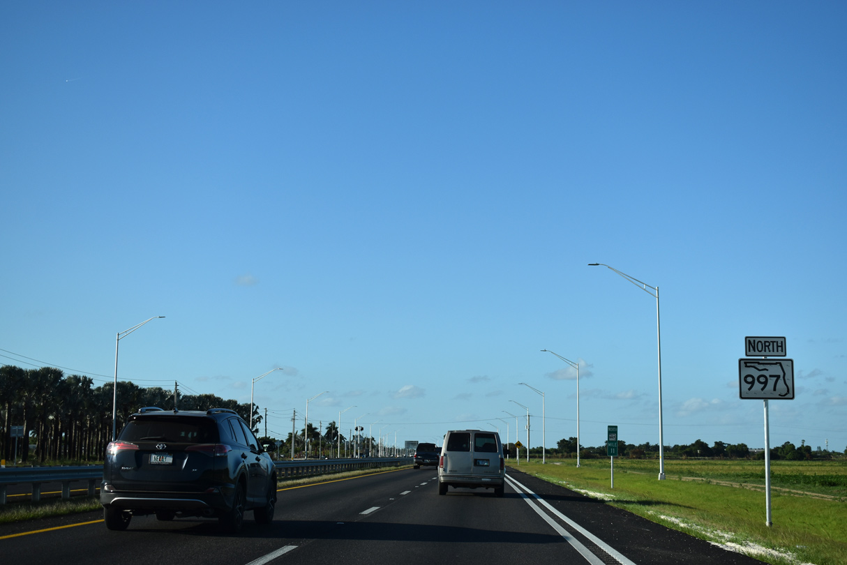
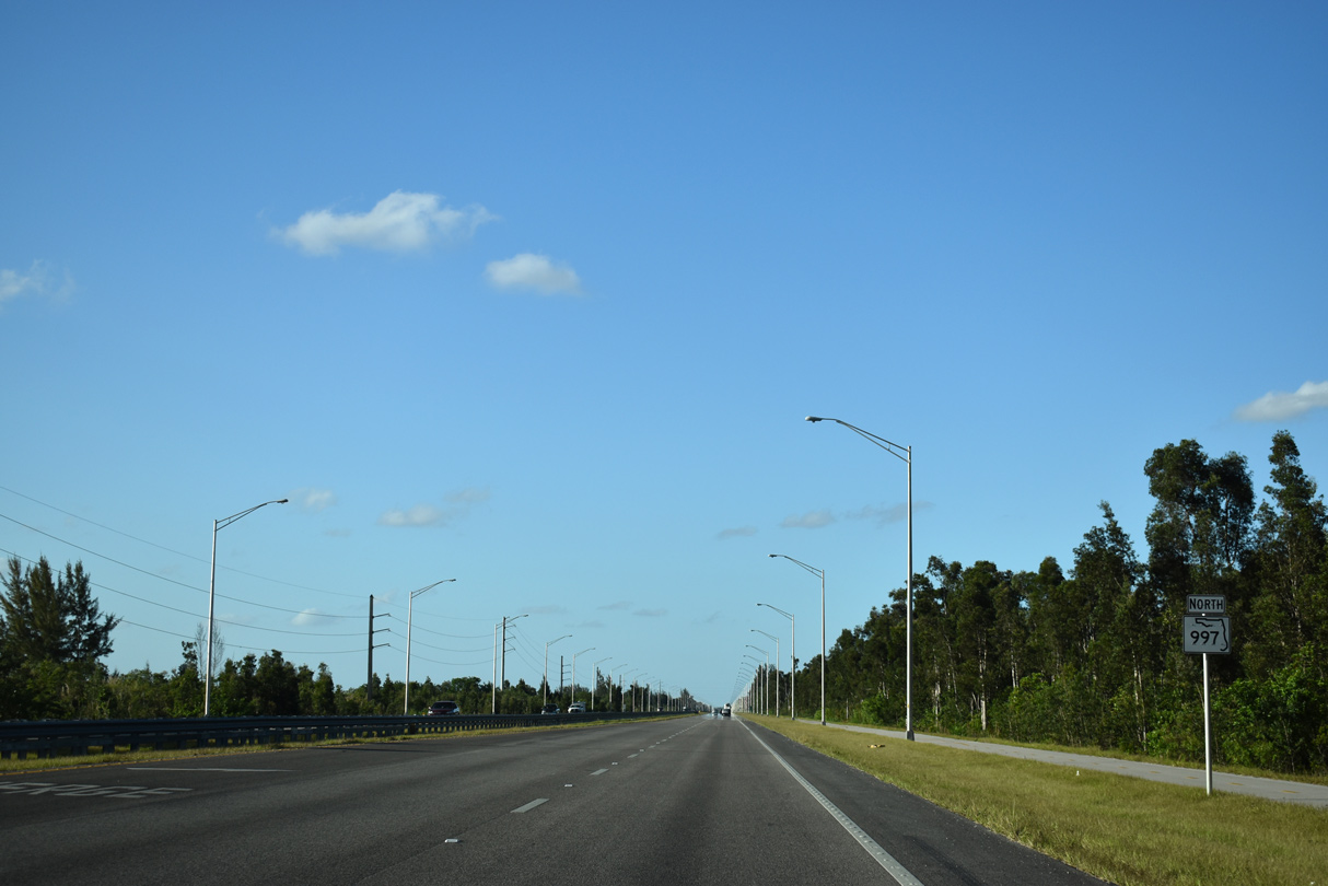
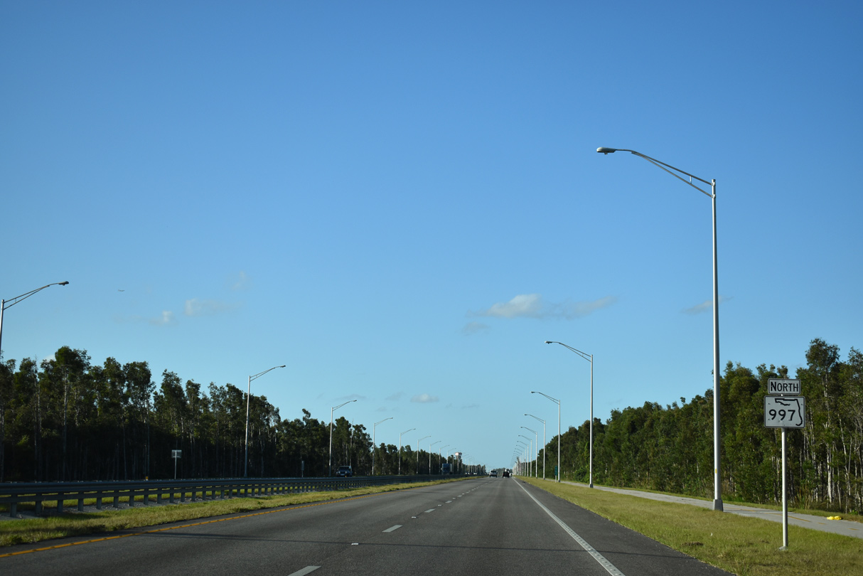
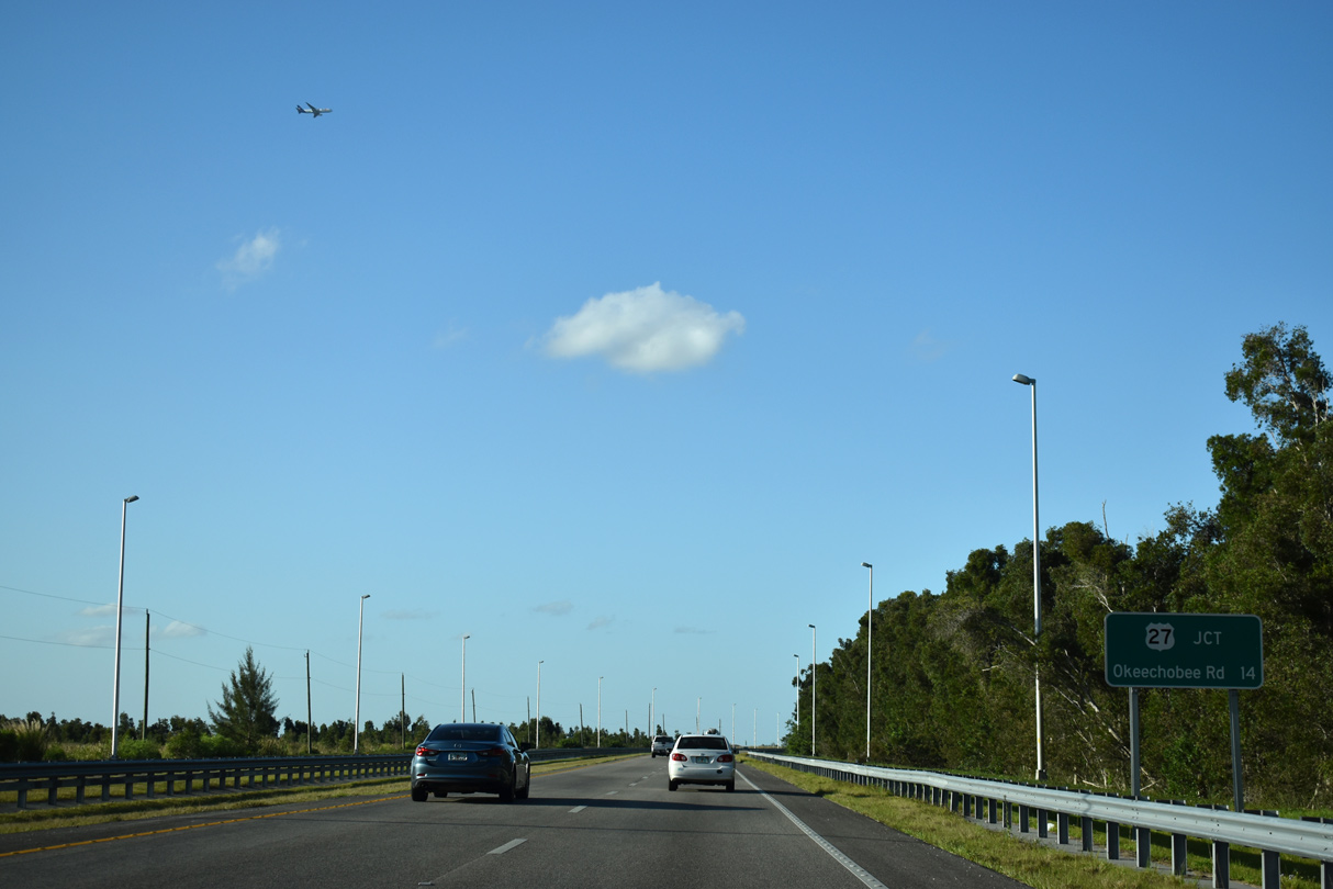
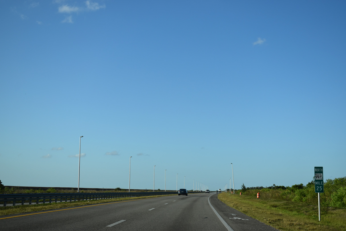
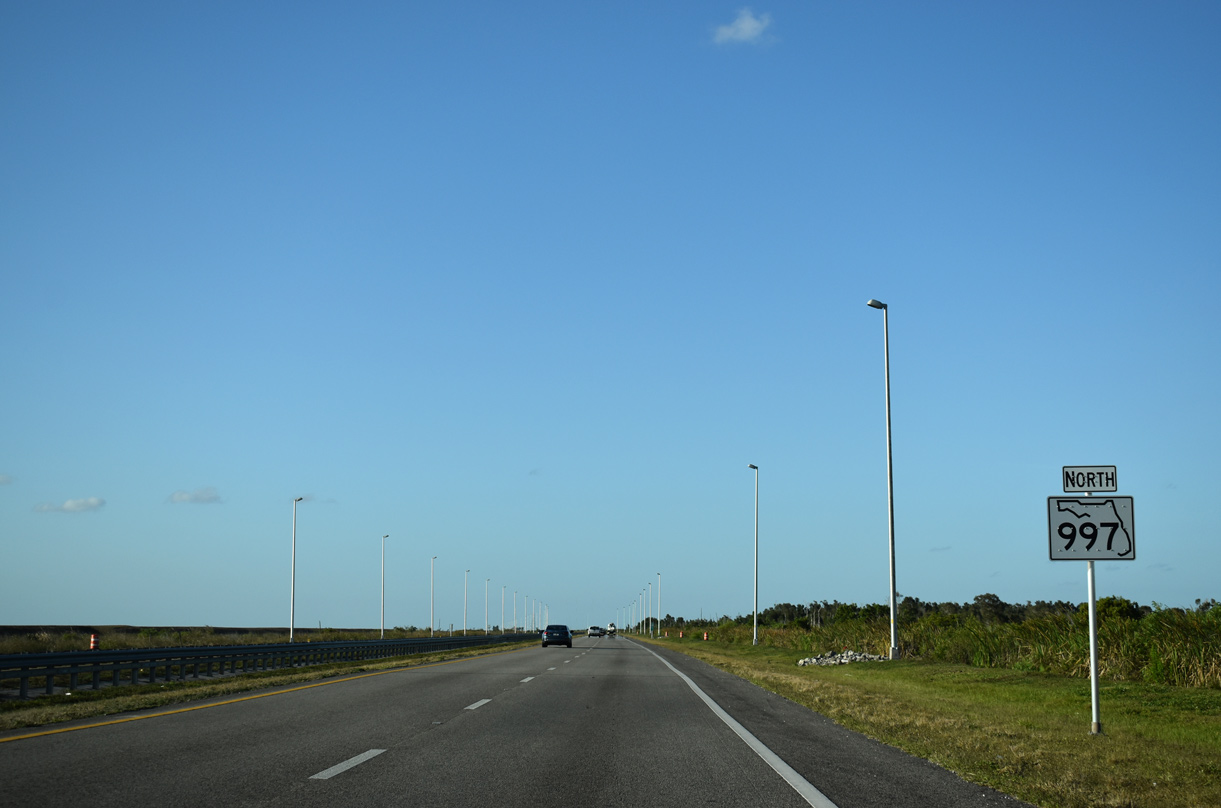
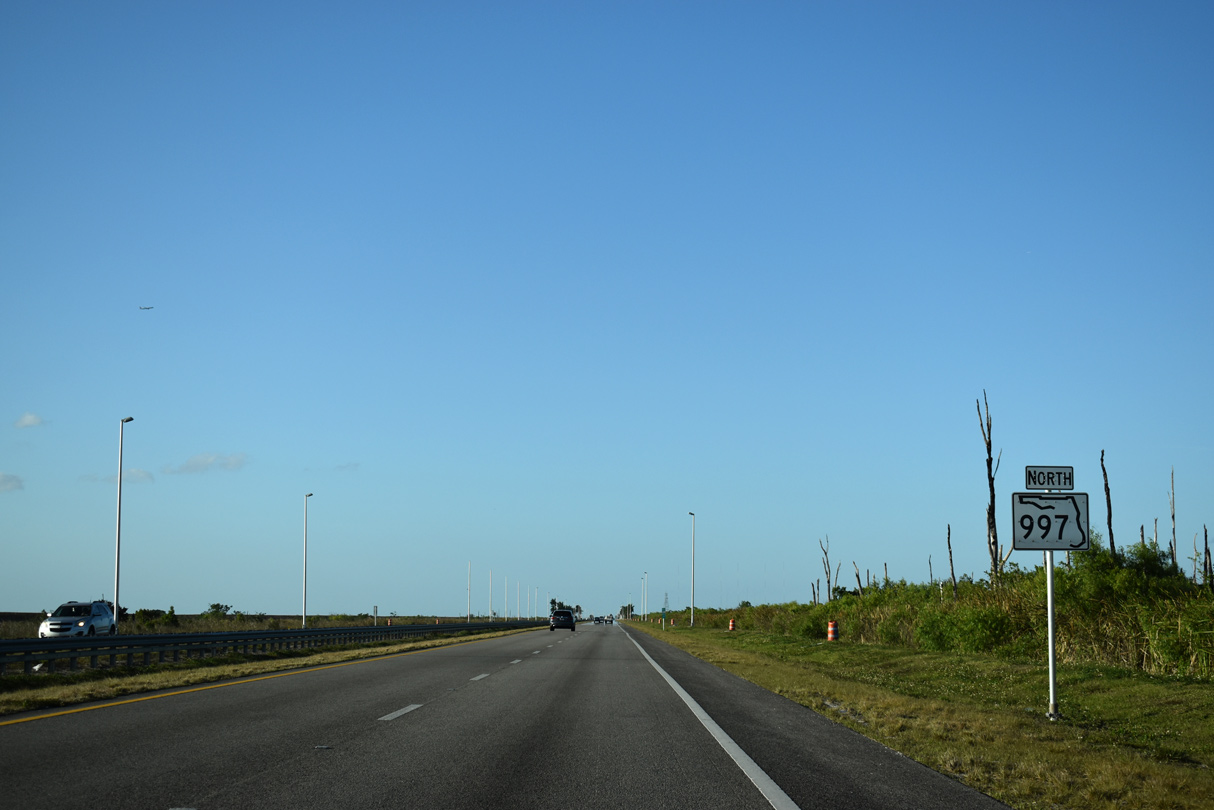
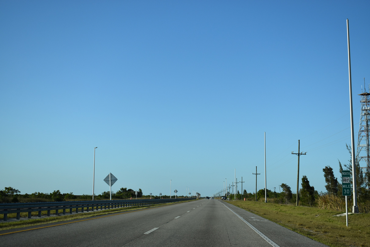
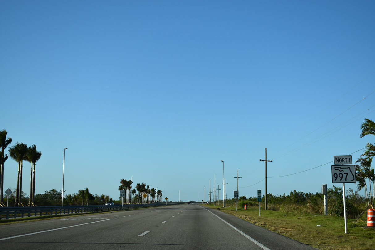
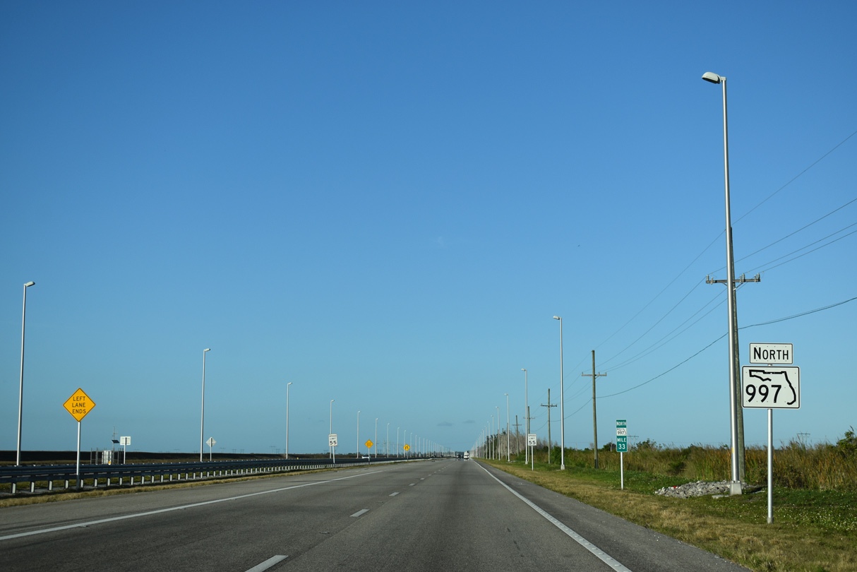
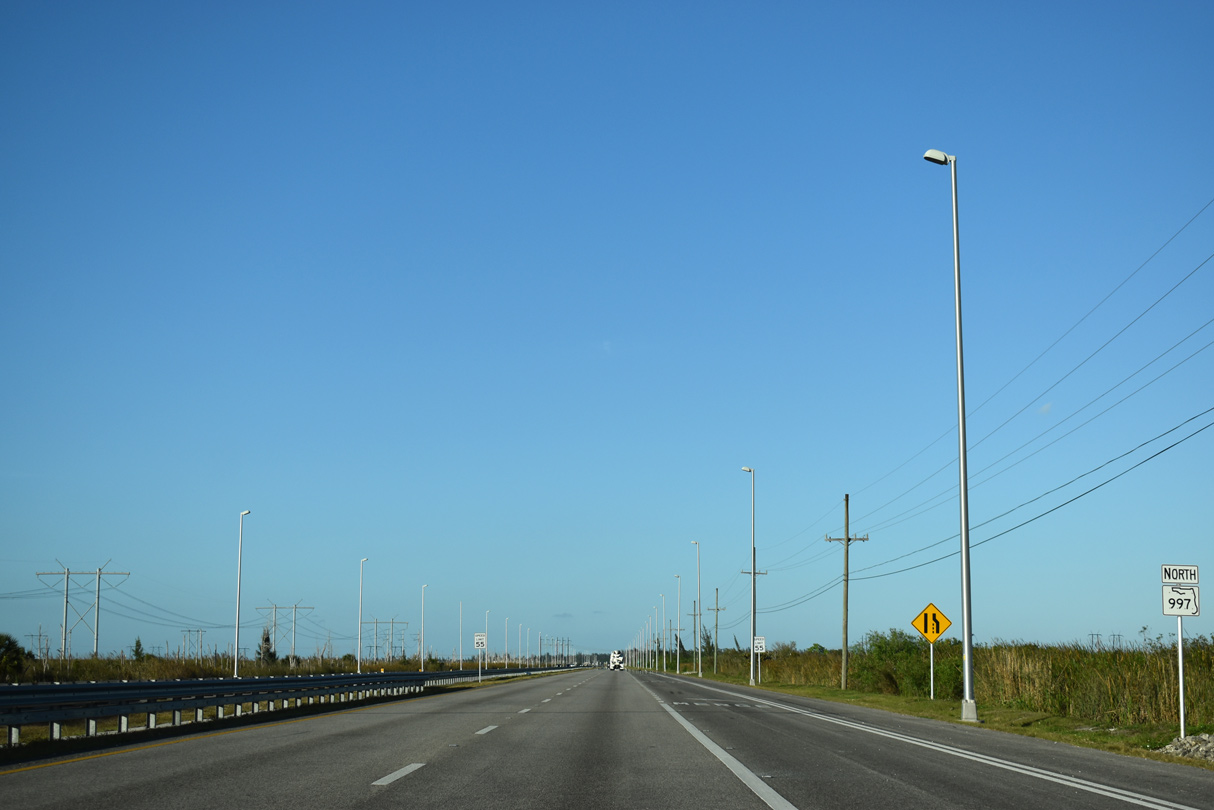
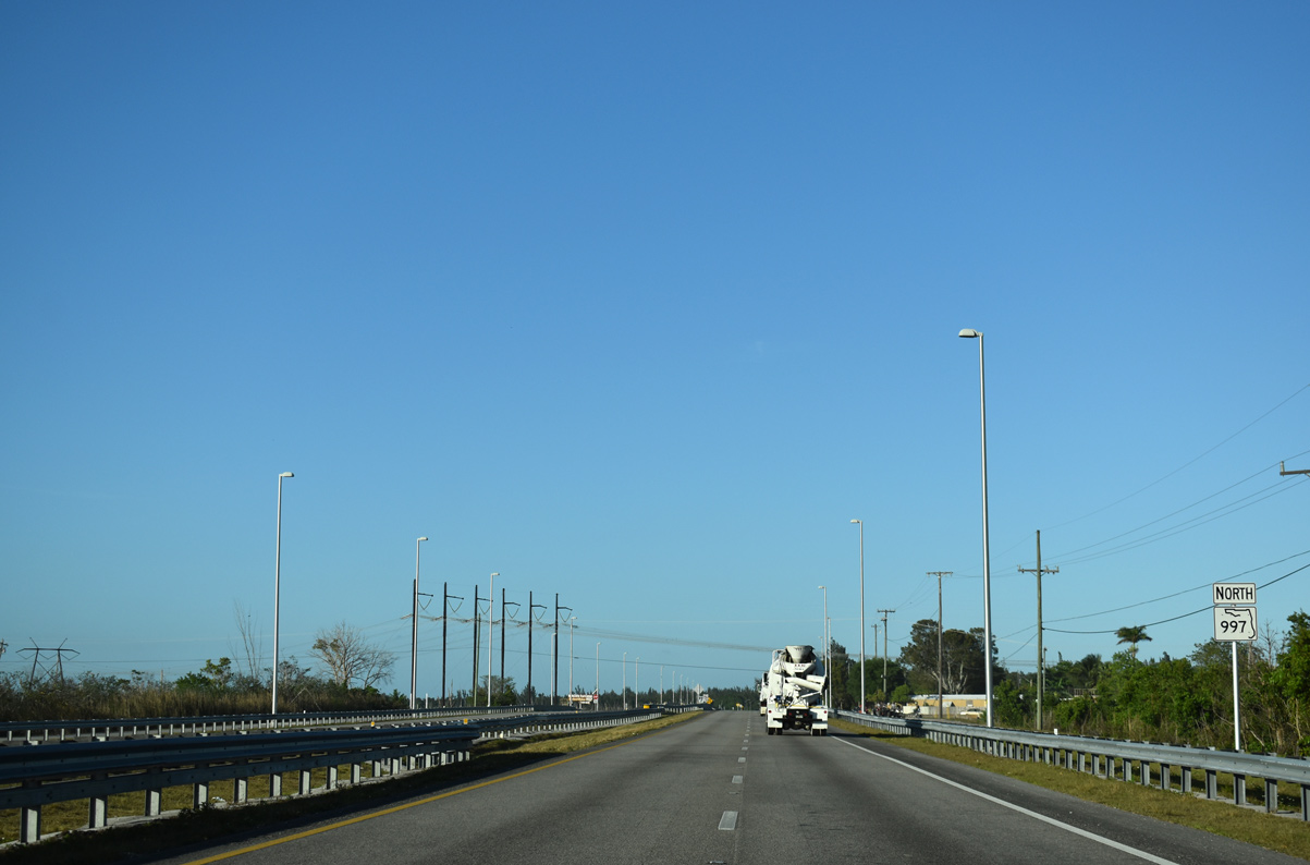
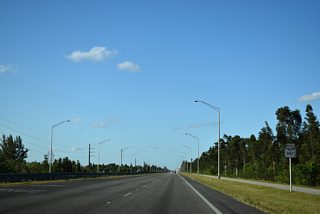
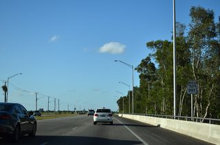
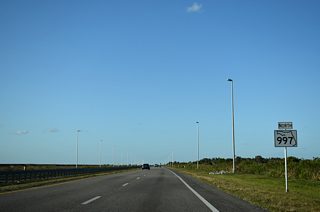
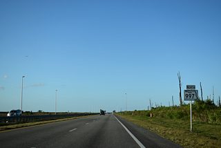
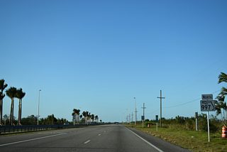
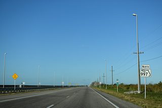
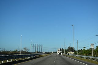
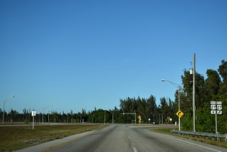
SR 997 continues 14.3 miles north from U.S. 41 (Tamiami Trail) to U.S. 27.
03/21/20
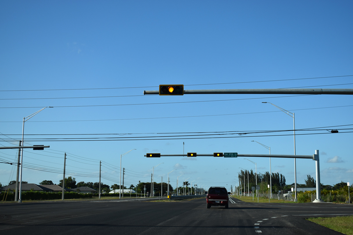
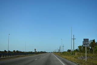
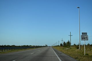
The ensuing stretch of SR 997 runs alongside Everglades / Francis S. Taylor Wildlife Management Area.
03/21/20
03/21/20

03/21/20
03/21/20
03/21/20

03/21/20
03/21/20
03/21/20
03/21/20

03/21/20
03/21/20
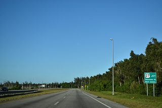
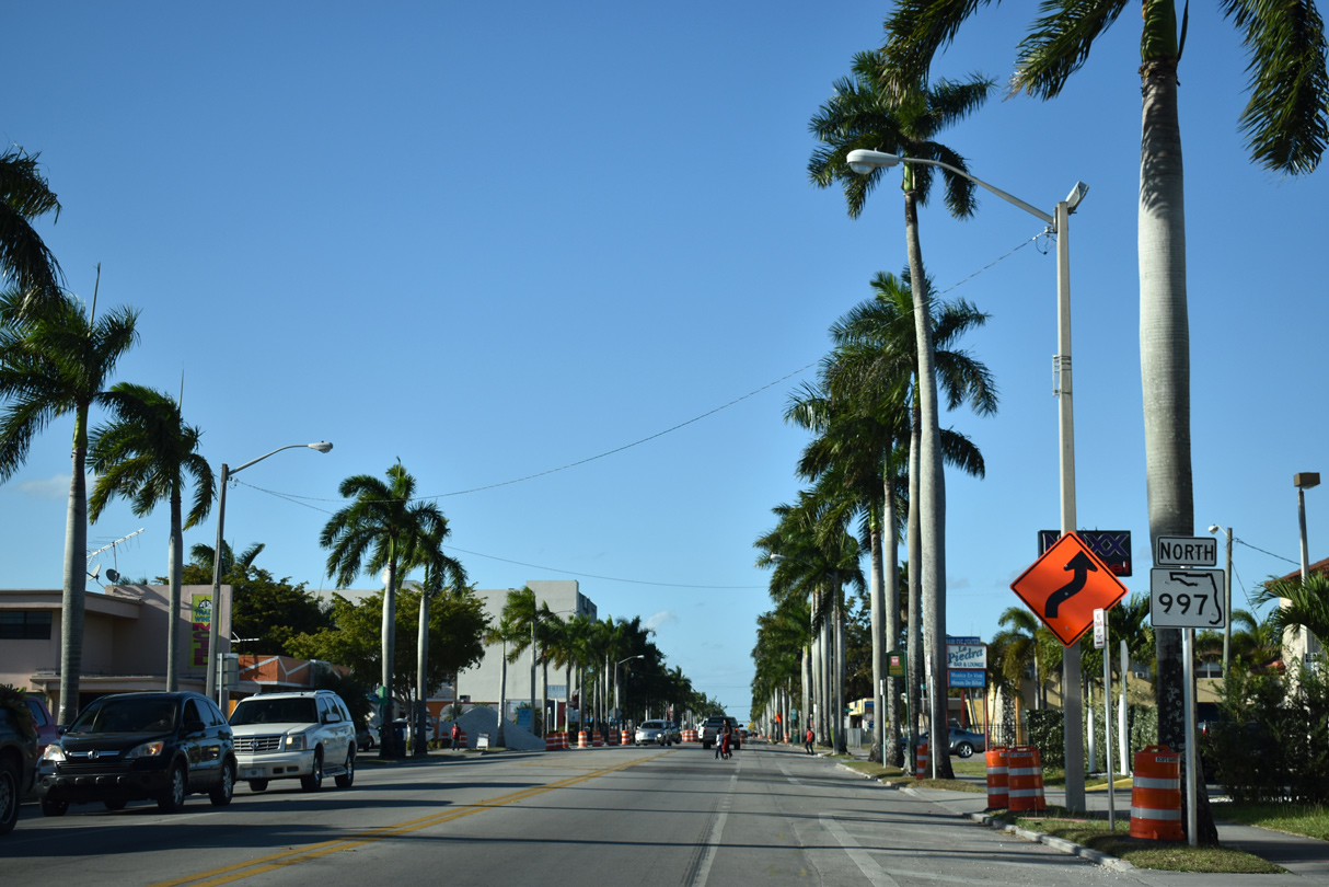
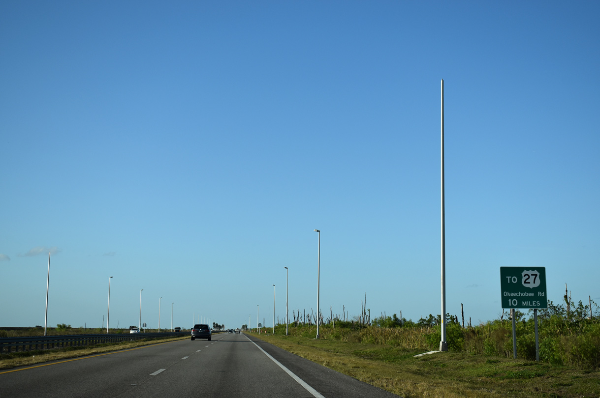
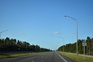
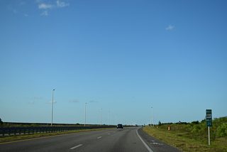
SR 997 (Krome Avenue) angles northeast to U.S. 27 near the site of Opa-Locka West Airport.
03/21/20
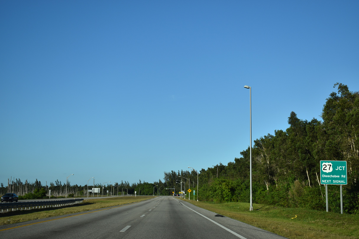
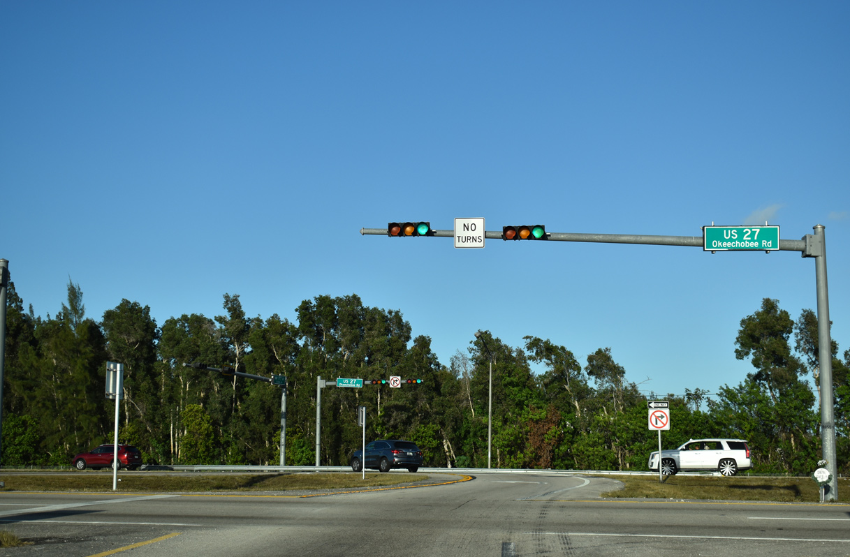
Like U.S. 41, U.S. 27 originates in Miami. Following Okeechobee Road, U.S. 27 travels northwest to Miami Springs, Hialeah and Hialeah Gardens ahead of SR 997.
03/21/20

U.S. 27 turns due north ahead of SR 997 and continues along the western outskirts of Miramar, Pembroke Pines and Southwest Ranches. U.S. 27 connects with I-75 (Alligator Alley) in 13.3 miles.
03/21/20

South

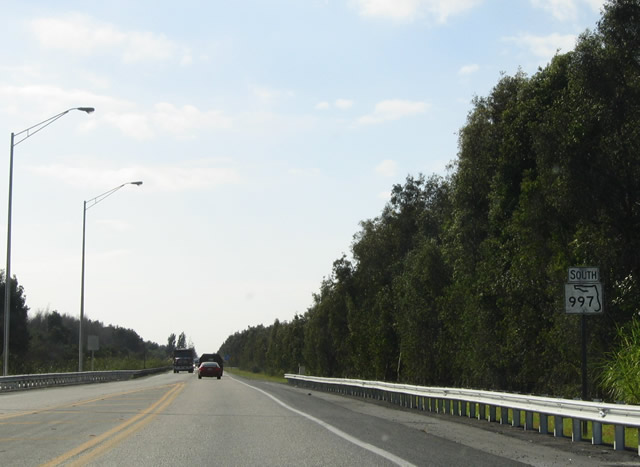
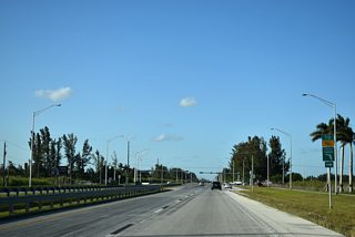
Leading south from U.S. 41 (Tamiami Trail / SW 8th Street) on SR 997 (Krome Avenue) through swampland west of Sweetwater.
12/28/03
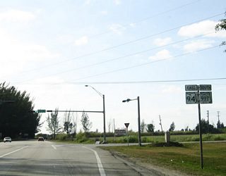
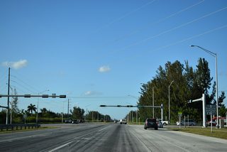
SR 997 (Krome Avenue) reaches SR 94 (Kendall Drive / SW 88th Street) east. SR 94 follows SW 88th Street 10.70 miles east to U.S. 1 by Dadeland Mall, within the vicinity of Kendall and Pinecrest.
12/28/03
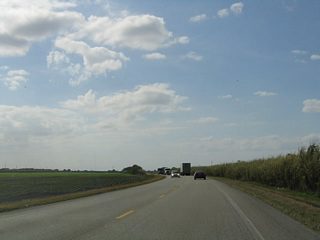
Shifting west across a CSX Railroad spur, SR 997 continues south by a series of sugar cane plantations.
12/28/03
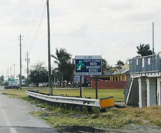
An elaborate system of canals and irrigation ditches convey water across the urban, rural, and agricultural areas of South Florida. The South Florida Water Management District manages this system and is responsible for providing water and flood control to the areas in South Florida, including Miami-Dade, Monroe, Broward and Palm Beach Counties. The diversion dam adjacent to SR 997 along Princeton (C-102) Canal provides some flood control in addition to a levee system.
12/28/03
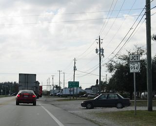
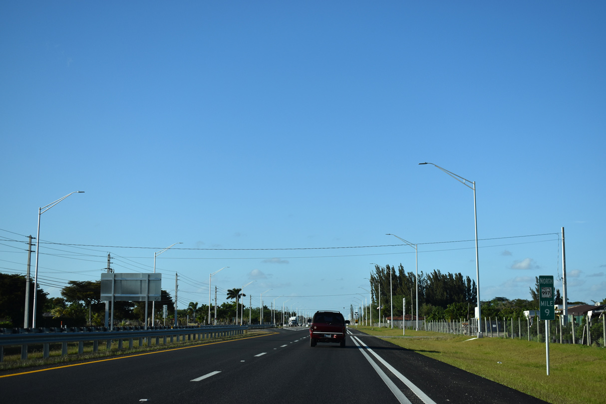
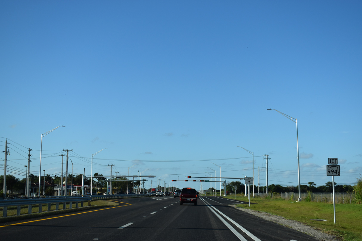
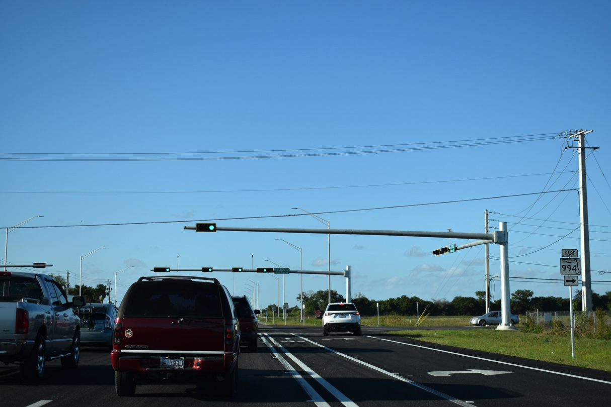
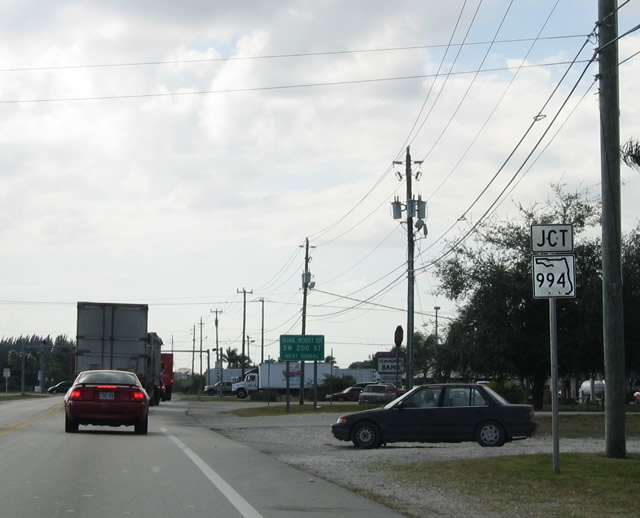
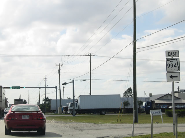
A short distance south of C-102 Canal, SR 997 (SW 177th Avenue) intersects the west end of SR 994 (SW 200th Street / Quail Roost Drive).
12/28/03
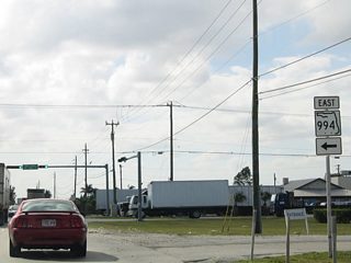
Quail Roost Drive leads SR 994 east 8.06 miles to the Homestead Extension of Florida's Turnpike at Cutler Ridge and U.S. 1 (Dixie Highway) south of Perrine.
12/28/03

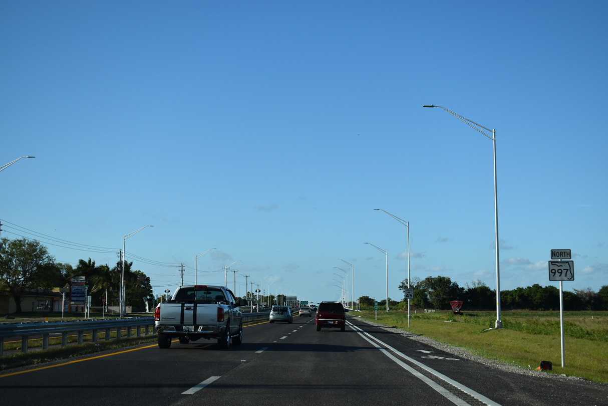
Confirming marker posted south of SR 994 (Quail Roose Drive).
12/28/03
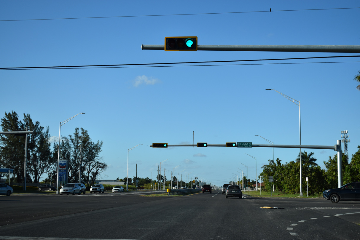
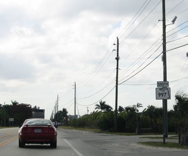
SR 997 (SW 177th Avenue) south at SW 232nd Street.
12/28/03
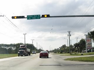
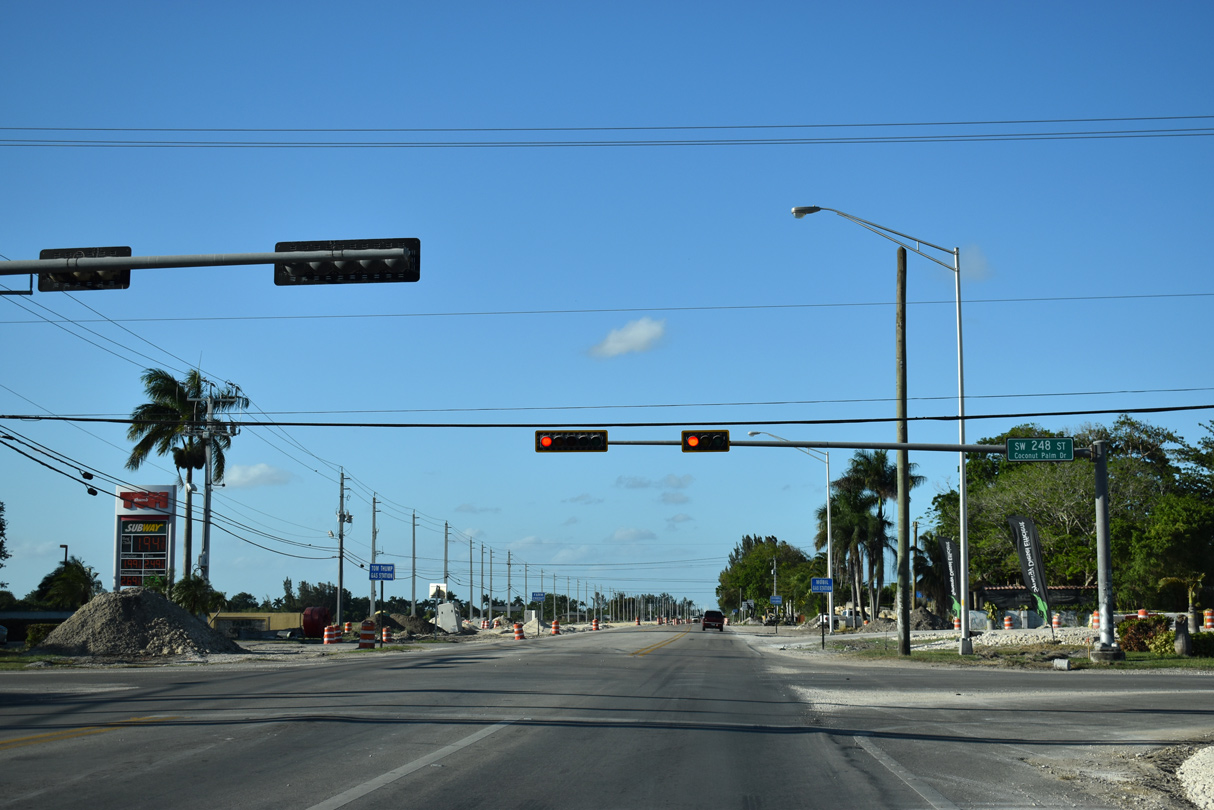
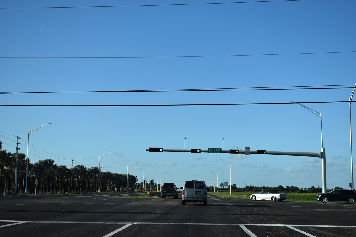
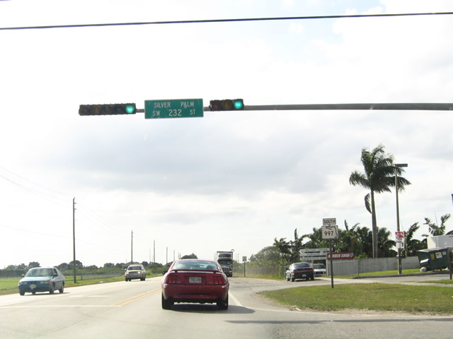
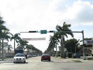
Continuing one mile south by Redland Golf & Country Club, SR 997 intersects SW 248th Street / Coconut Palm Drive at this traffic light.
12/28/03
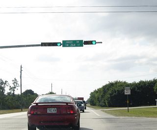
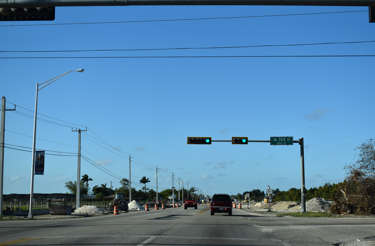
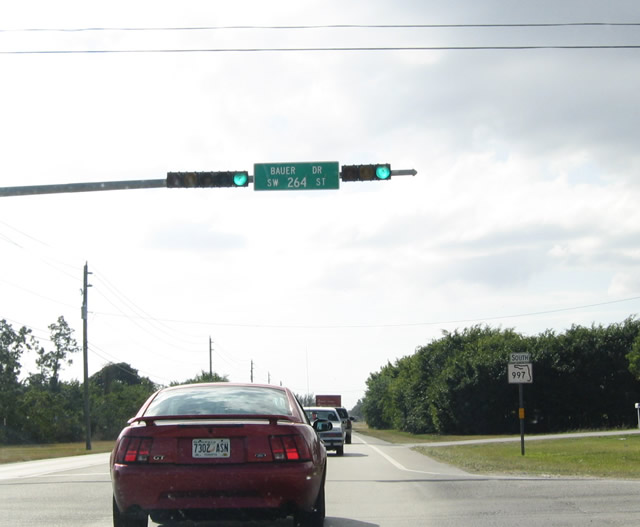
SW 264th Street / Bauer Drive travels east to Naranja and Tallahassee Road (SW 137th Avenue) south to Homestead Air Reserve Base.
12/28/03
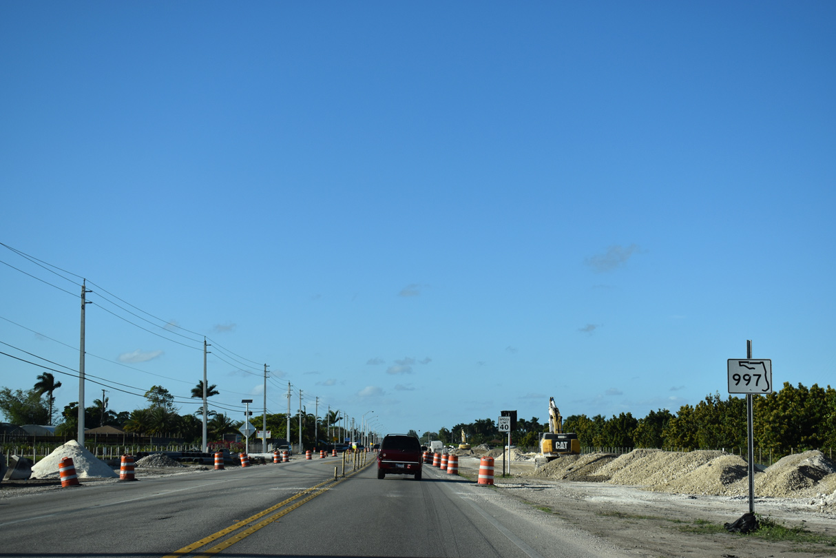
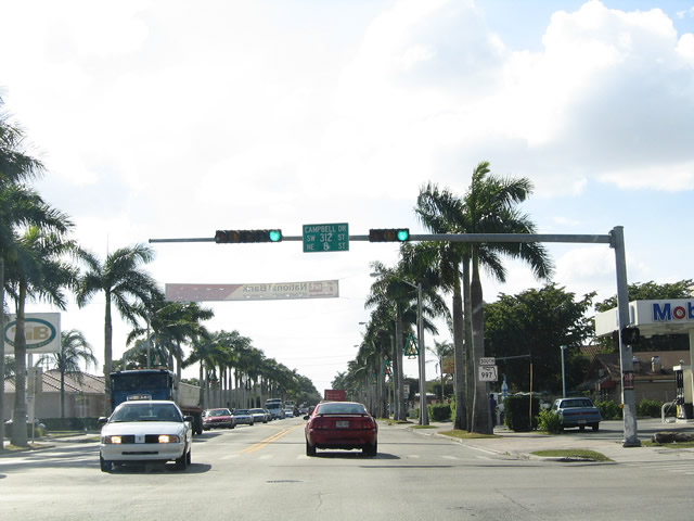
SR 997 proceeds south into the city of Homestead to conclude at SW 312 Street (SR 998). The second oldest city in Miami-Dade County, Homestead was founded in 1898 and incorporated in 1913, after the Overseas Railroad was constructed.
12/28/03
SR 998 provides the state maintained link 0.77 miles east from SR 997 (Krome Avenue) to U.S. 1 (Homestead Avenue) along NE 8th Street / Campbell Drive.
12/28/03
Krome Avenue (former SR 997) south

Krome Avenue heads eight blocks south from SR 998 to intersect Flagler Avenue. Flagler Avenue is the old alignment of U.S. 1 through Homestead. It parallels the South Miami-Dade Busway.
12/28/03

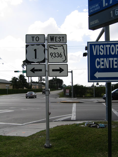
Krome Avenue (old SR 997) south reaches SR 9336, which follows West Palm Drive through Florida City. SR 9336 angles southwest toward Everglades National Park via SW 344th Street and SW 217th Avenue.
12/28/03
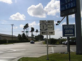
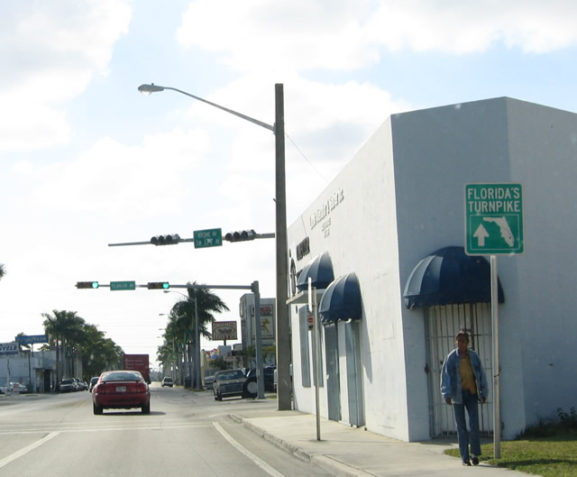
SR 9336 ends one block to the east parallel U.S. 1 (NE 1st Avenue). SR 997 converged with U.S. 1 south in 0.75 miles at Card Sound Road.
12/28/03
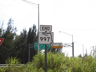
An end shield for SR 997 appeared at U.S. 1 (Dixie Highway). Card Sound Road branches southeast from nearby. Formerly SR 905, Card Sound Road offers an alternative route to the Florida Keys via the tolled Card Sound Bridge.
12/28/03
Page Updated Monday March 23, 2020.