
State Road A1A - Miami-Dade South
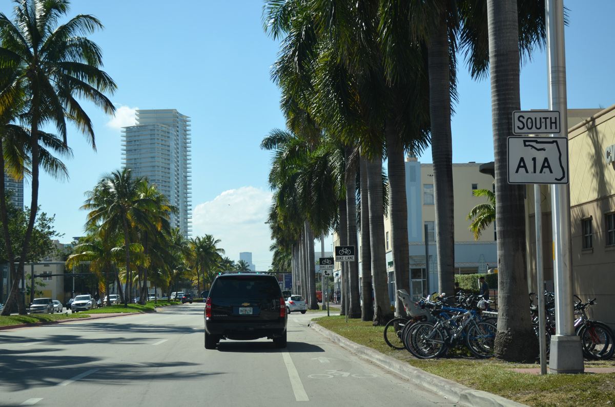
 South
South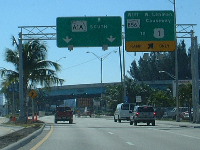
SR 856 (William Lehman Causeway) links SR A1A (Collins Avenue) and Sunny Isles Beach with the city of Aventura west of the Intracoastal Waterway. The expressway travels 1.60 miles west to U.S. 1 (Biscayne Boulevard).
01/06/01
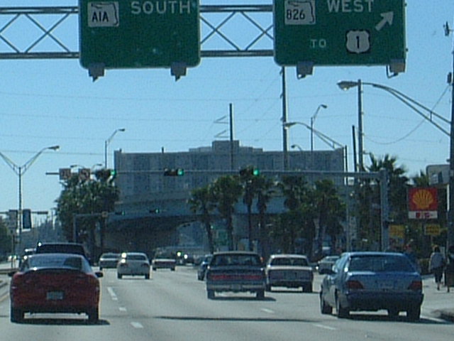
SR 826 ties into SR A1A (Collins Avenue) in south Sunny Isles Beach along a one way couplet (NE 163rd Street / Sunny Isles Boulevard). The state road ventures west to North Miami and North Miami Beach, ultimately connecting with I-95, Florida's Turnpike and the Palmetto Expressway at the Golden Glades Interchange.
01/06/01
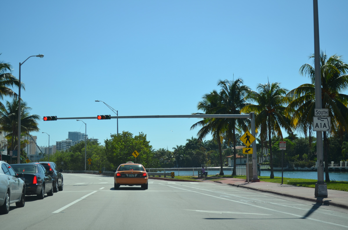
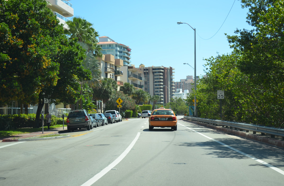
SR A1A partitions into a one way couplet through Mid-Beach in Miami Beach. Indian Creek Drive carries southbound traffic ahead of and to the intersection with SR 112 (41st Street). This reassurance marker follows 41st Street / Arthur Godfrey Road.
03/04/14
With two lanes of traffic, SR A1A (Indian Creek Drive) straddles the east banks of Indian Creek through Mid-Beach in Miami Beach.
03/04/14
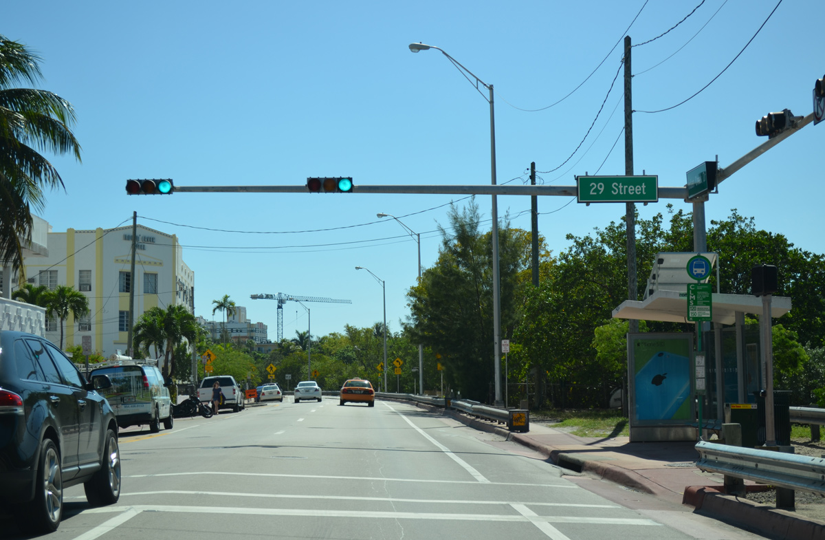
Indian Creek Drive south at 29th Street. A pedestrian bridge spans Indian Creek to Flamingo Drive nearby.
03/04/14
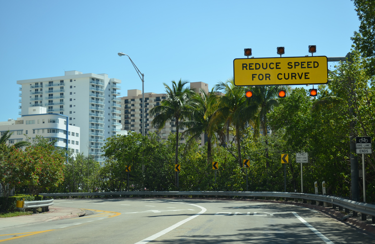
Southbound SR A1A (Indian Creek Drive) veers east along Lake Pancoast to recombine with SR A1A (Collins Avenue) north.
03/04/14

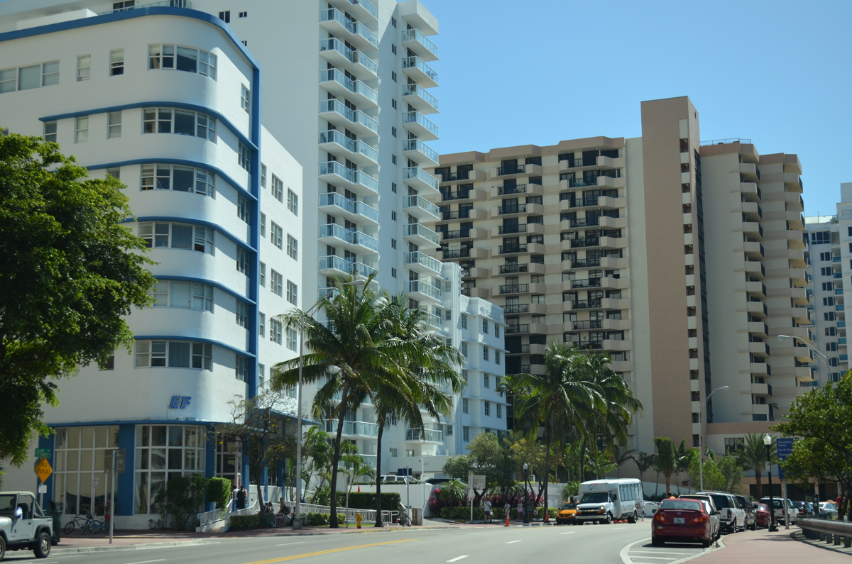
Collins Avenue retains two-way traffic south from Indian Creek Drive to South Beach in Miami Beach.
03/04/14
SR A1A (Collins Avenue) circles around the east side of Lake Pancoast by several condominium high rises.
03/04/14
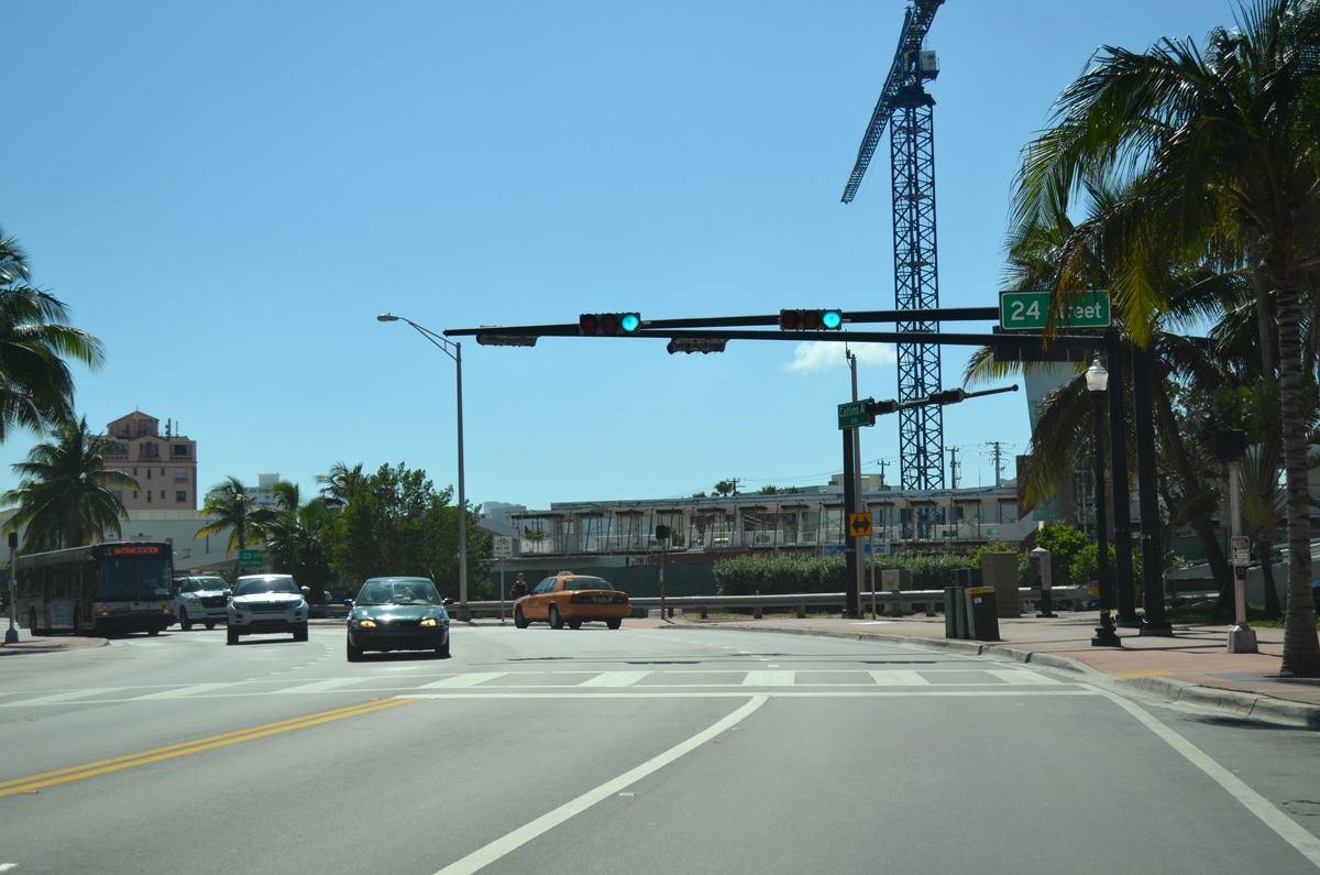
Collins Avenue south at 24th Street and the 24th Street Pedestrian Bridge west across Collins Canal.
03/04/14
Advancing south, SR A1A (Collins Avenue) approaches the Miami Beach City Center.
03/04/14
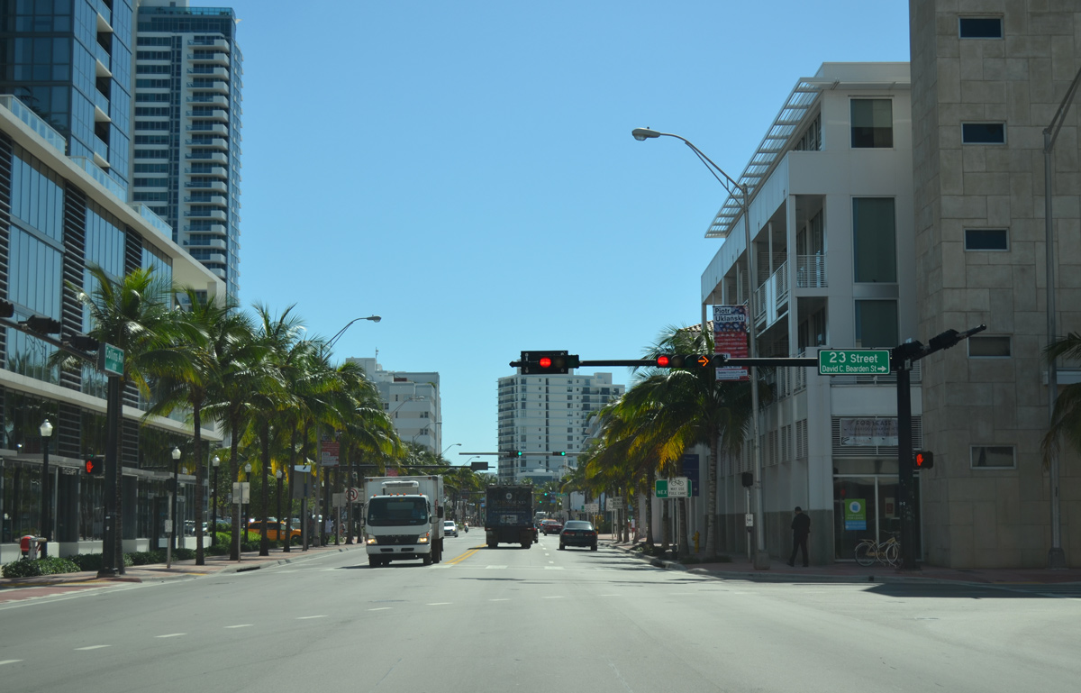
23rd Street links Collins Avenue with Dade Boulevard west to the tolled Venetian Causeway across Biscayne Bay.
03/04/14
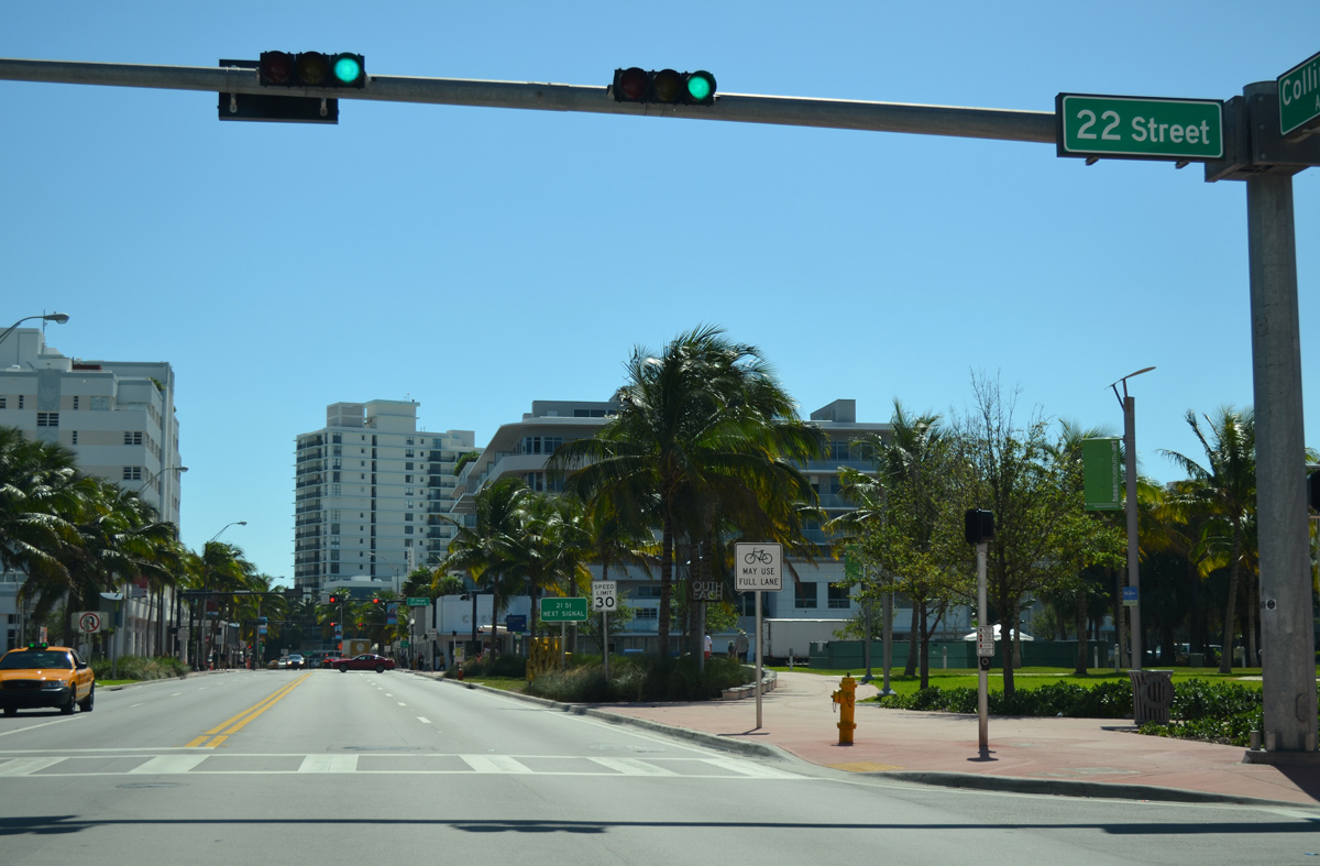
SR A1A (Collins Avenue) south at 22nd Street and Collins Park.
03/04/14
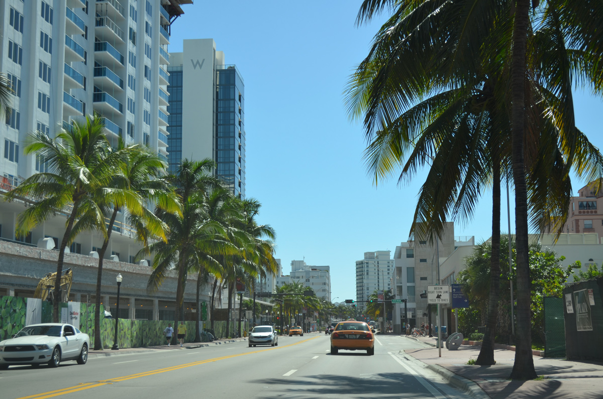
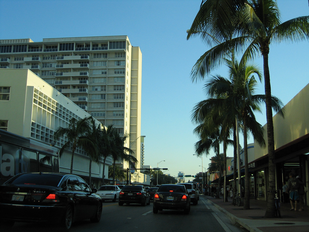
Art deco becomes more prevalent as Collins Avenue progresses south into Downtown Miami Beach.
03/04/14
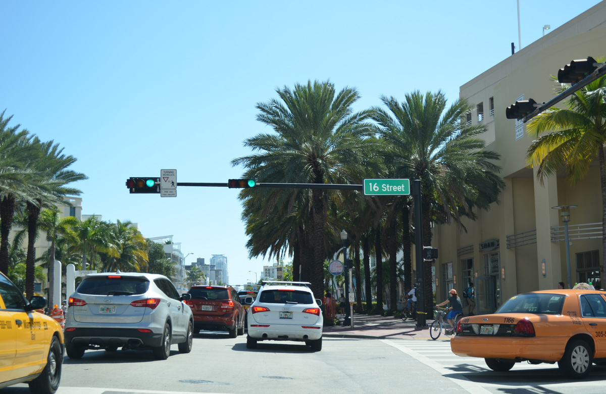
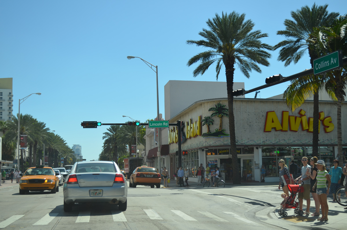
Collins Avenue south at the Lincoln Road Mall commercial district in Miami Beach.
03/25/06
03/04/14
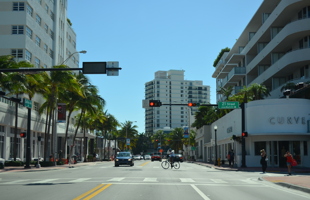
16th Street leads west from SR A1A (Collins Avenue) and Downtown Miami Beach to the Alton Beach Bay Front.
03/04/14
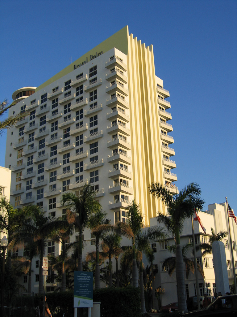
Collins Avenue passing west of the Royal Palm tower beyond 16th Street.
03/26/06
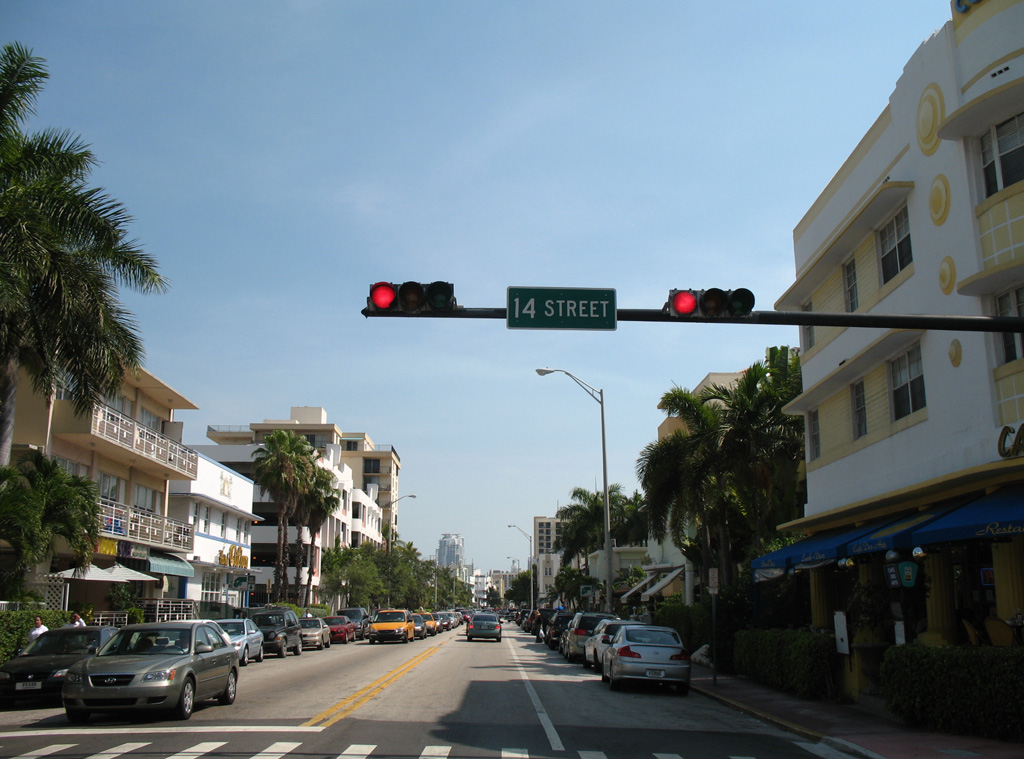
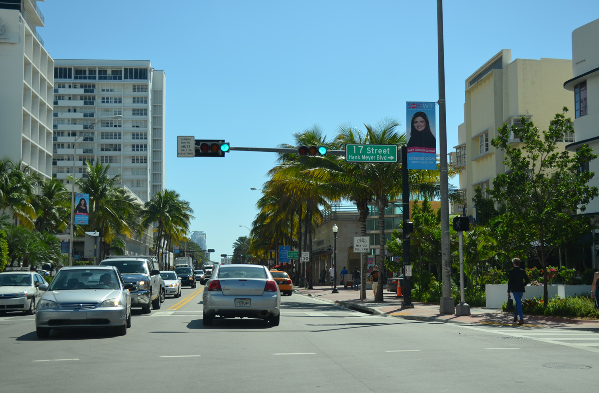
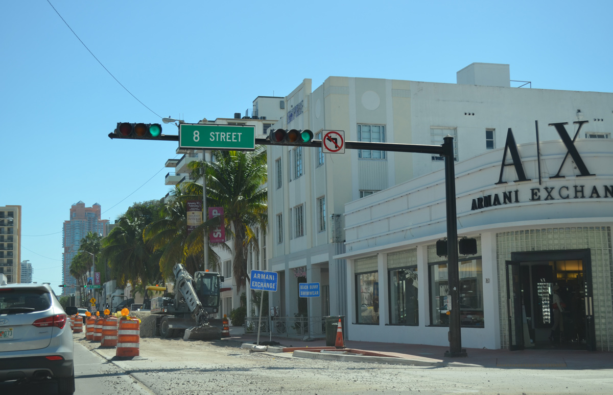
14th through 12th Streets intersect SR A1A one block west from the beach and five blocks east of Flamingo Park.
05/17/08
03/04/14
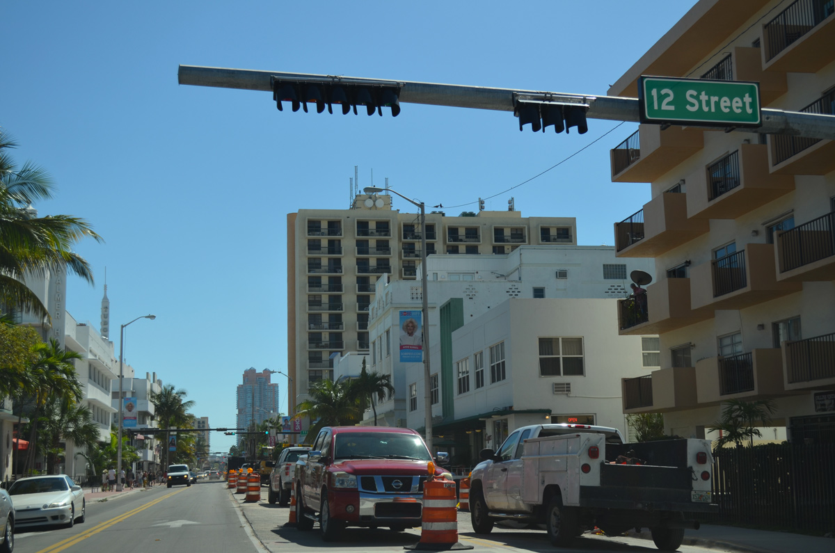
Collins Avenue normally accommodates one lane of traffic in each direction with a varying center turn lane. A utility project underway in 2014 temporarily reconfigured the state road.
03/04/14
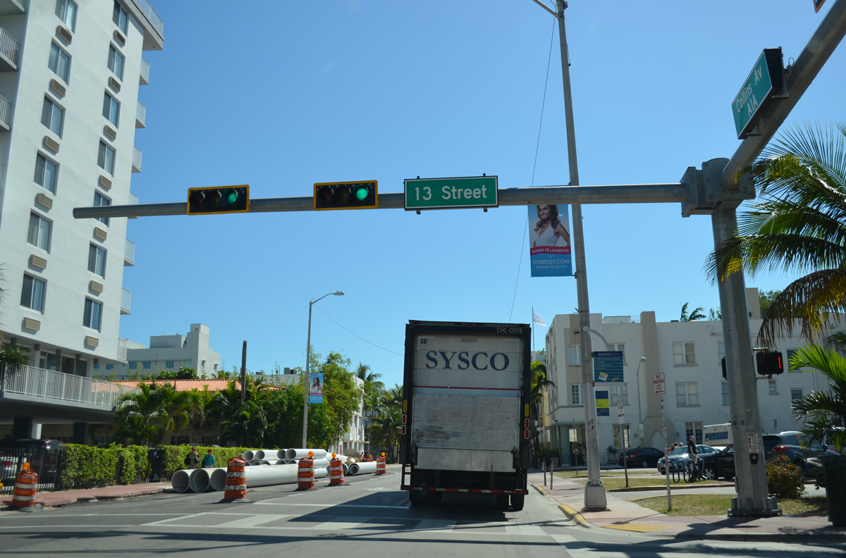
Reassurance marker for SR A1A posted ahead of 10th Street along Collins Avenue south.
03/04/14
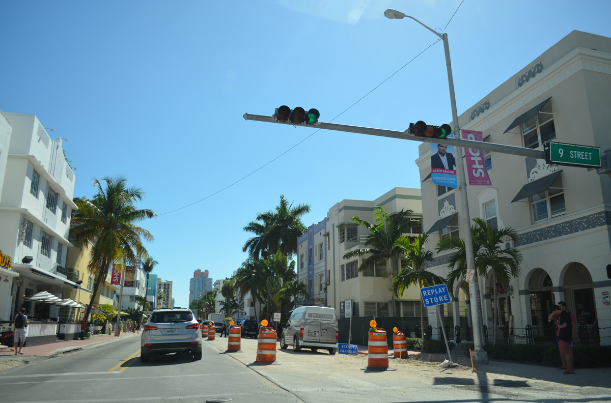
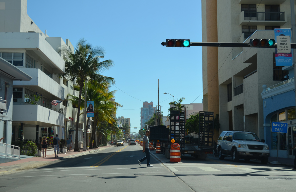
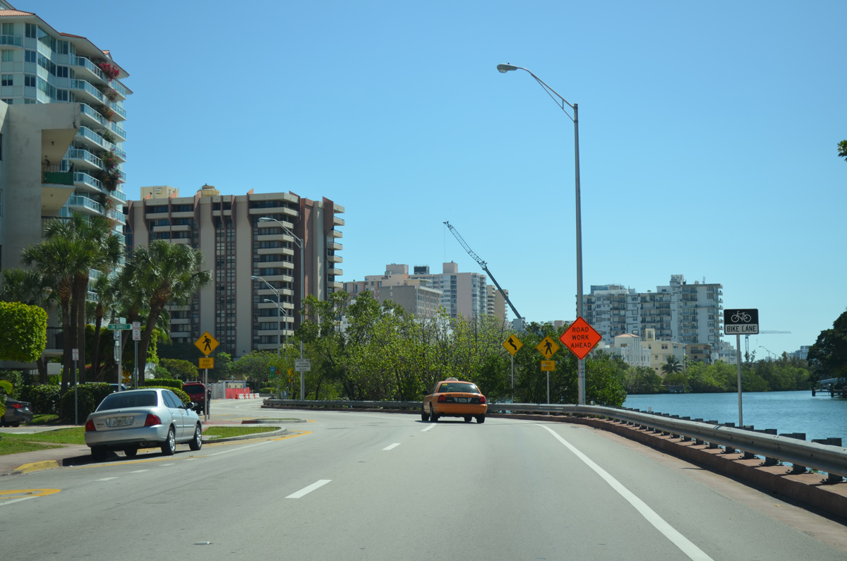
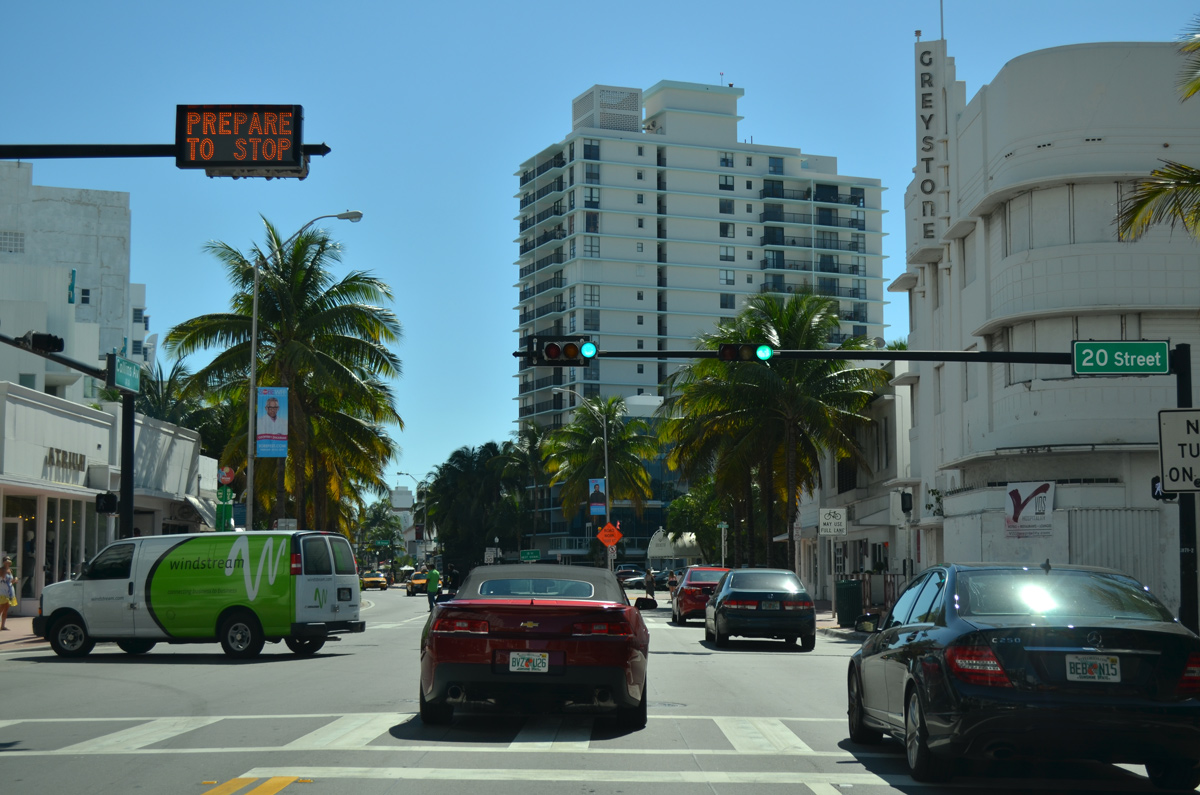
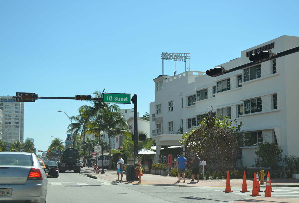
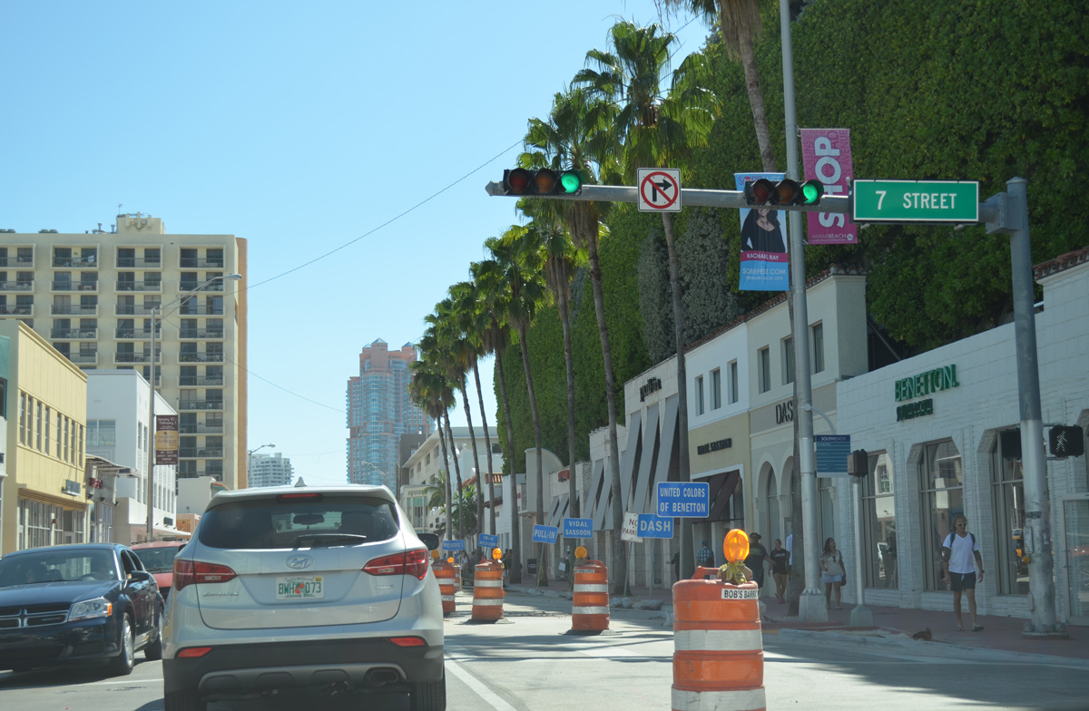
Collins Avenue continues south through a series of signalized intersections through South Beach, Miami Beach.
03/04/14
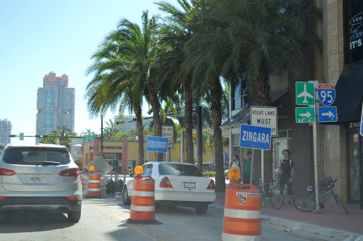
SR A1A turns west from Collins Avenue along 5th Street to leave South Beach and approach MacArthur Causeway. The intersection at Collins and 5th is the historic south end of U.S. 41.
03/04/14

Washington Avenue intersects SR A1A just west of Collins Avenue. The tree-lined four lane boulevard provides a second through route between South Beach and Downtown Miami Beach.
03/04/14
5th Street expands into a six lane boulevard west of Washington Avenue.
03/04/14
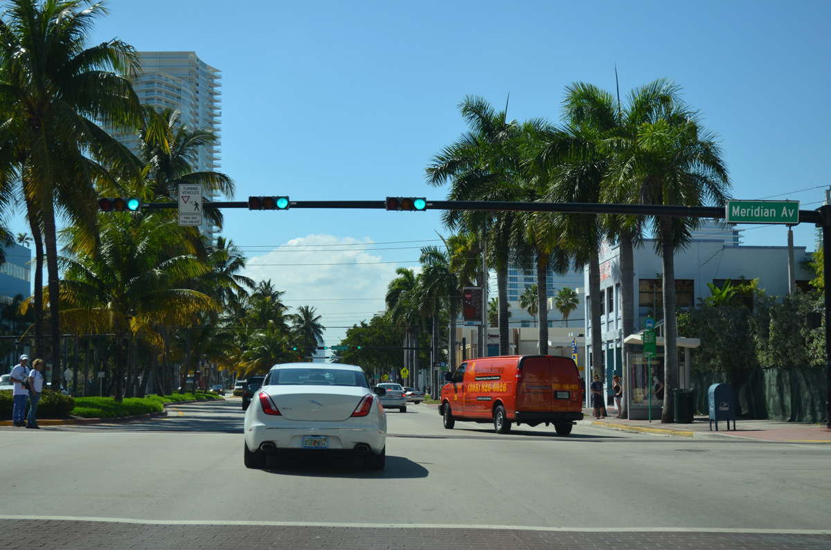
5th Street west at Meridian Avenue and the Ocean Beach community of Miami Beach.
03/04/14
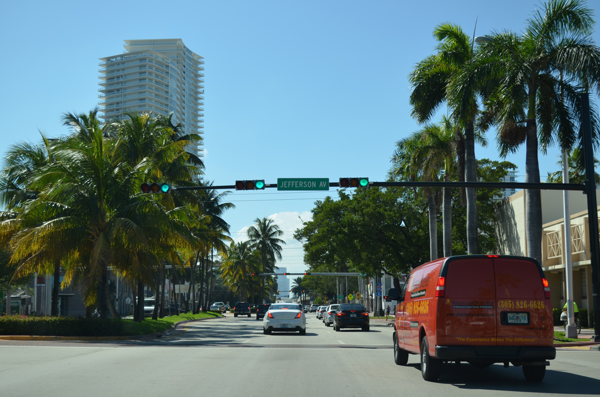
SR A1A (5th Street) southbound at Jefferson Avenue.
03/04/14
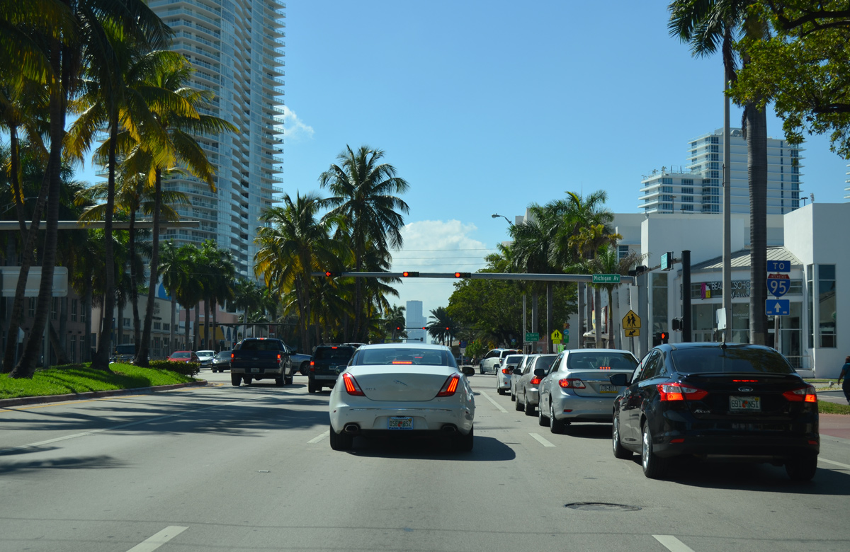
An Interstate 95 trailblazer precedes the SR A1A intersection with Michigan Avenue.
03/04/14
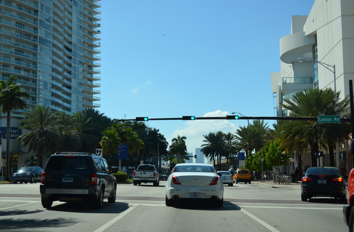
Lenox Avenue presents the last residential street of Ocean Beach before SR A1A transitions onto MacArthur Causeway.
03/04/14
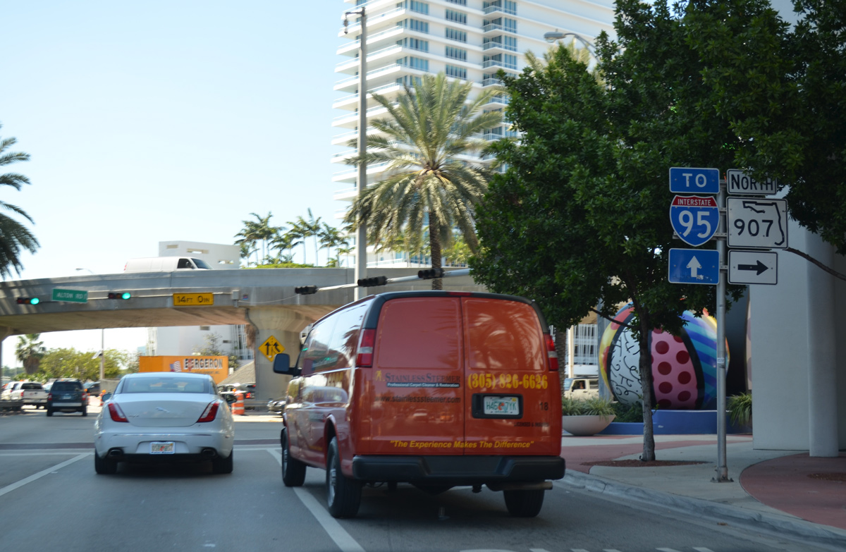
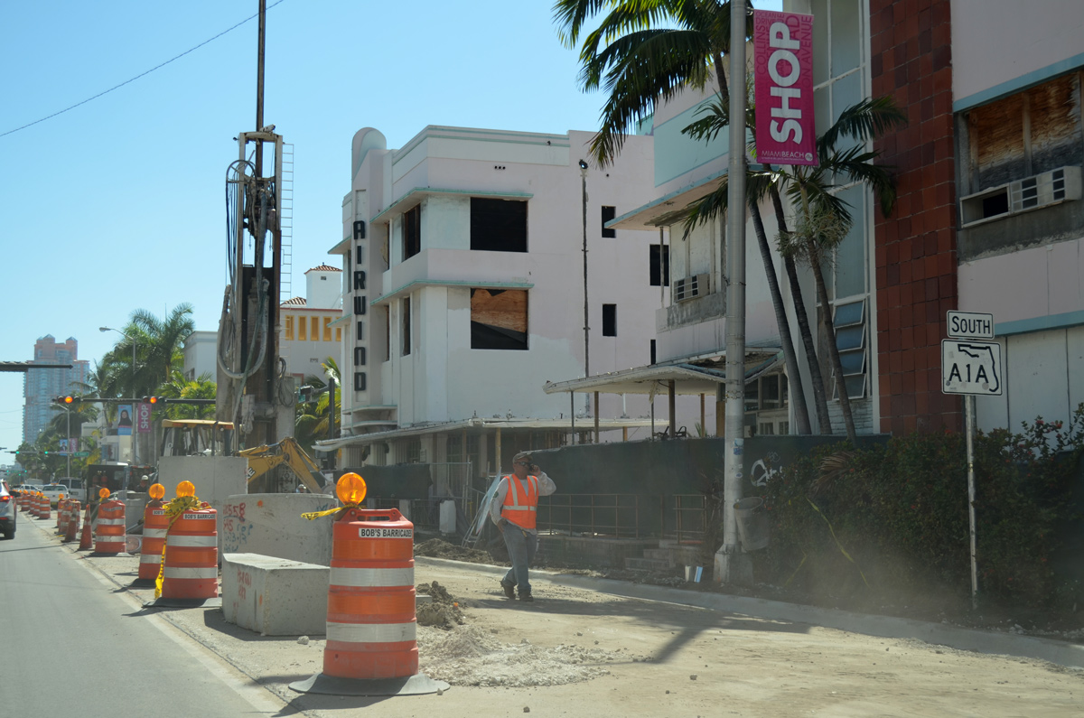
SR 907 returns to SR A1A (5th Street) along Alton Road. The 5.66 mile long state road ends with flyover connecting MacArthur Causeway east with Alton Road north.
03/04/14
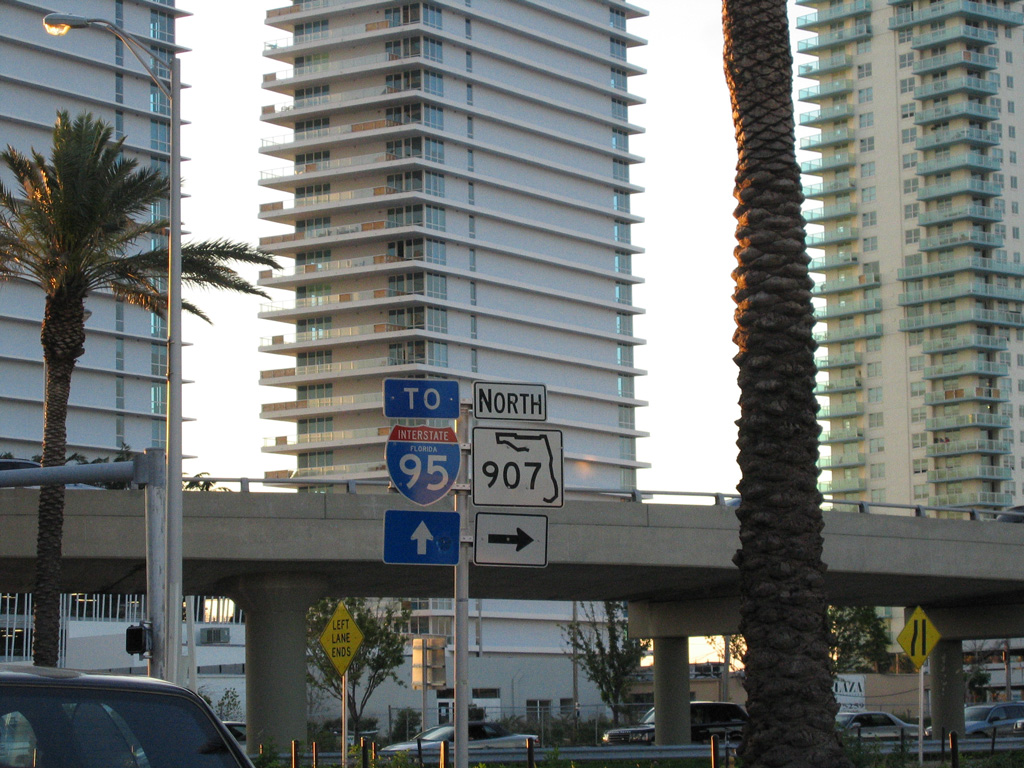
A state-named trailblazer for Interstate 95 was formerly posted at the south end of SR 907 on 5th Street west.
03/25/06
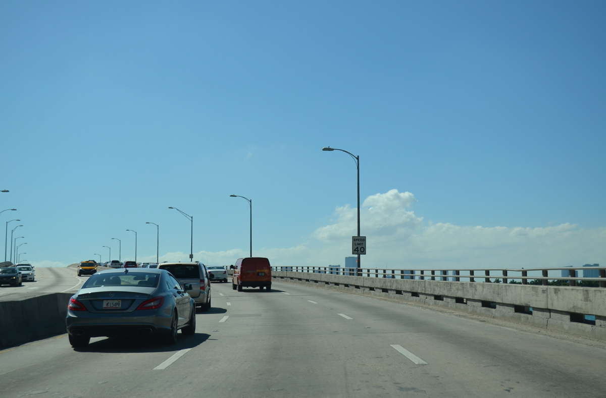
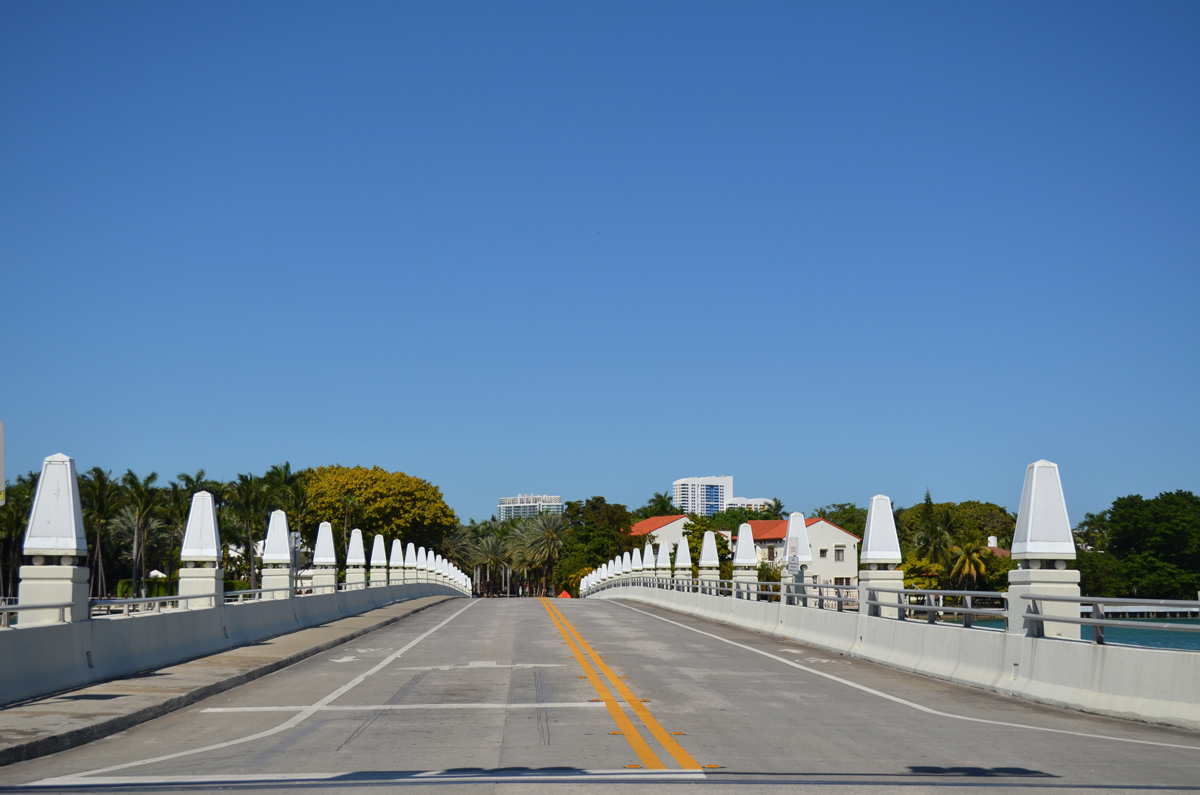
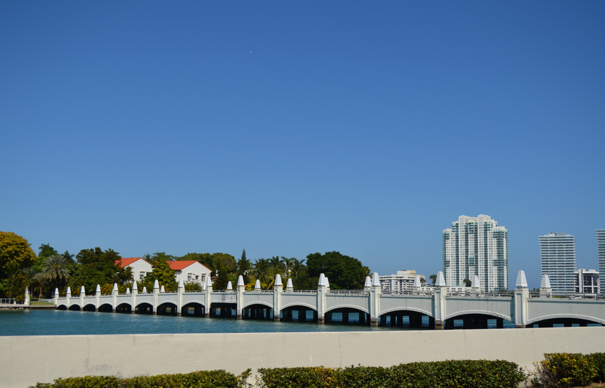
SR A1A elevates with six lanes over the East Channel of Biscayne Bay.
03/04/14
04/10/21
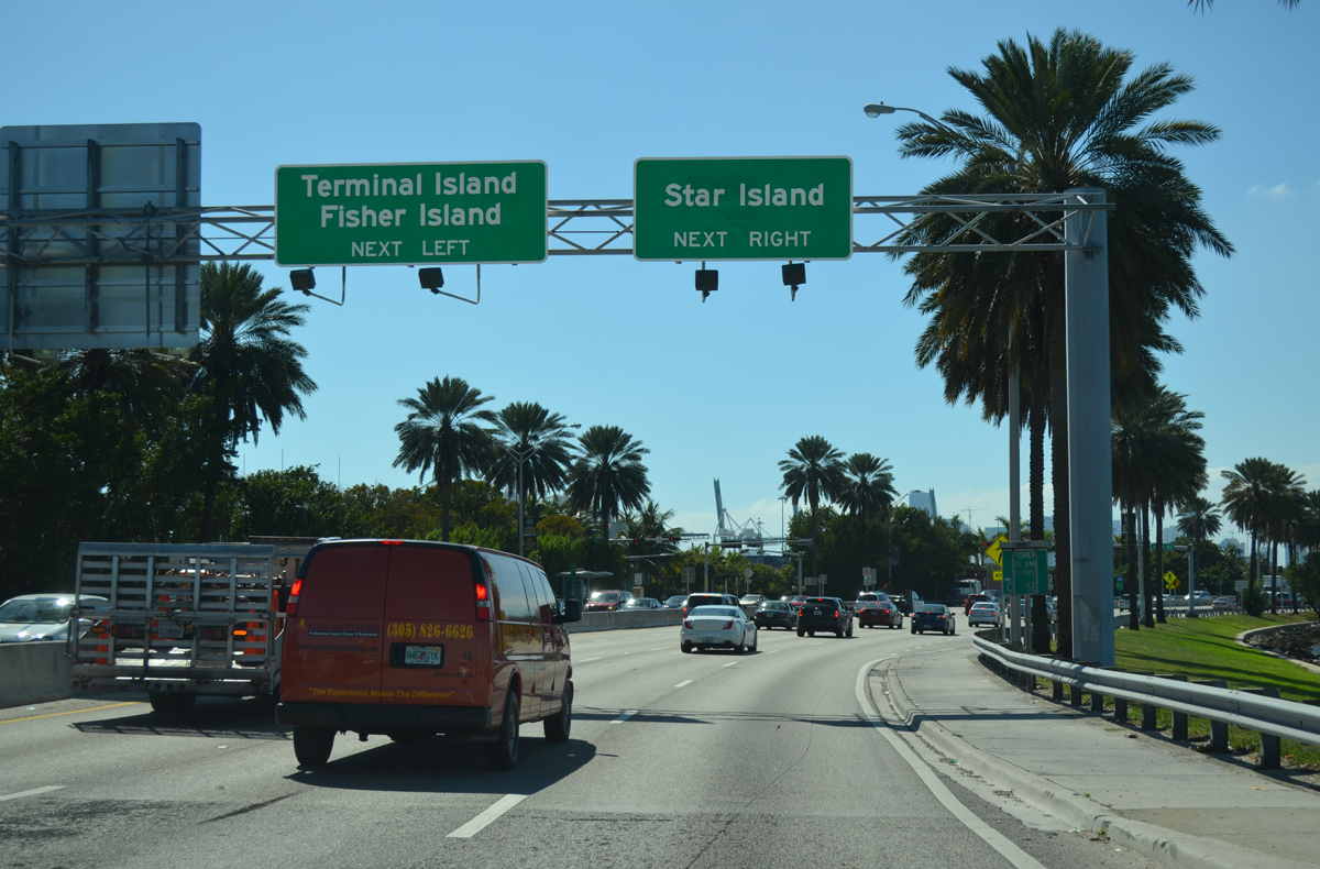
MacArthur Causeway lowers from the East Channel bridge to a signalized intersection with an access road spurring south to Terminal and Fishers Islands.
03/04/14
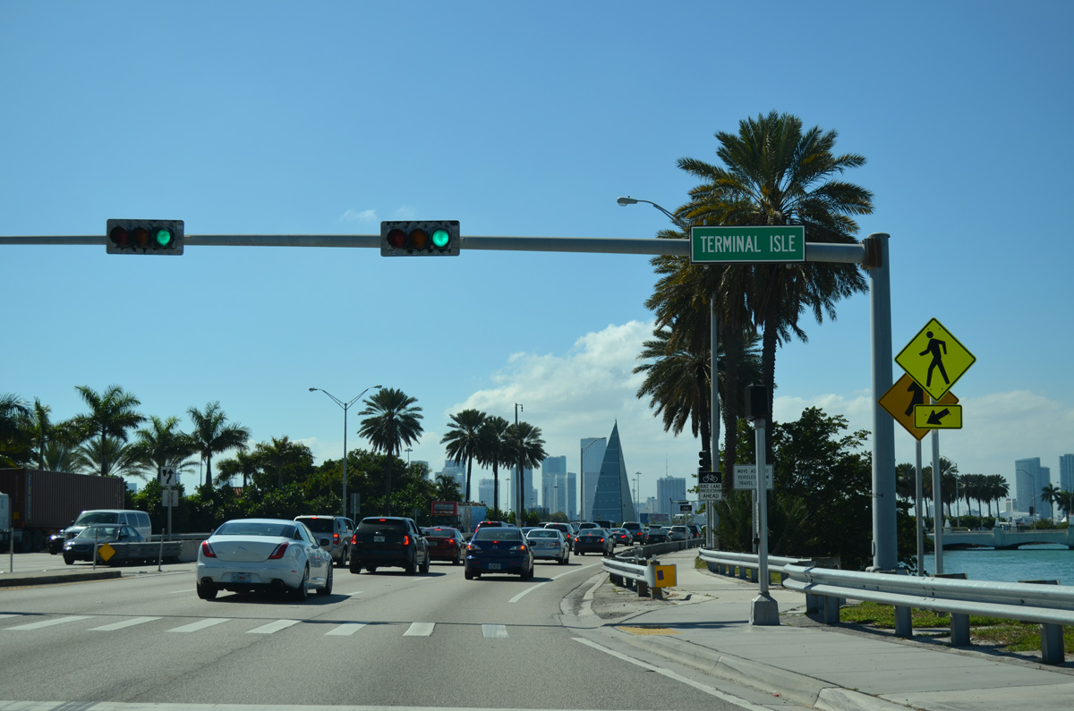
The Terminal Isle access road links MacArthur Causeway with the U.S. Coast Guard Station and the City of Miami Beach Fleet Management facility.
03/04/14
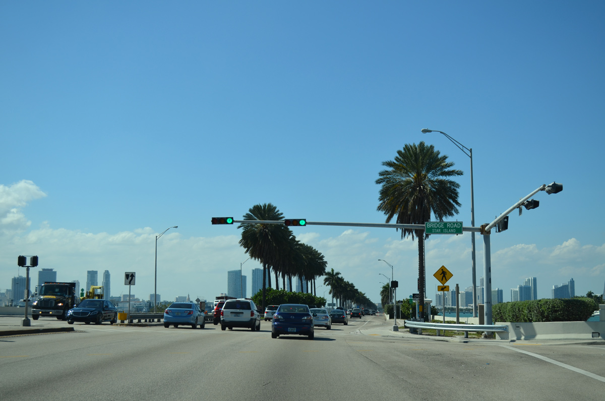
Bridge Road stems north from SR A1A (MacArthur Causeway) to Star Island across a 1993-built span.
03/04/14
Continuing west from Bridge Road toward Star Island along SR A1A (MacArthur Causeway) southbound.
03/04/14
Looking north from MacArthur Causeway toward Flagler Memorial Island.
03/04/14
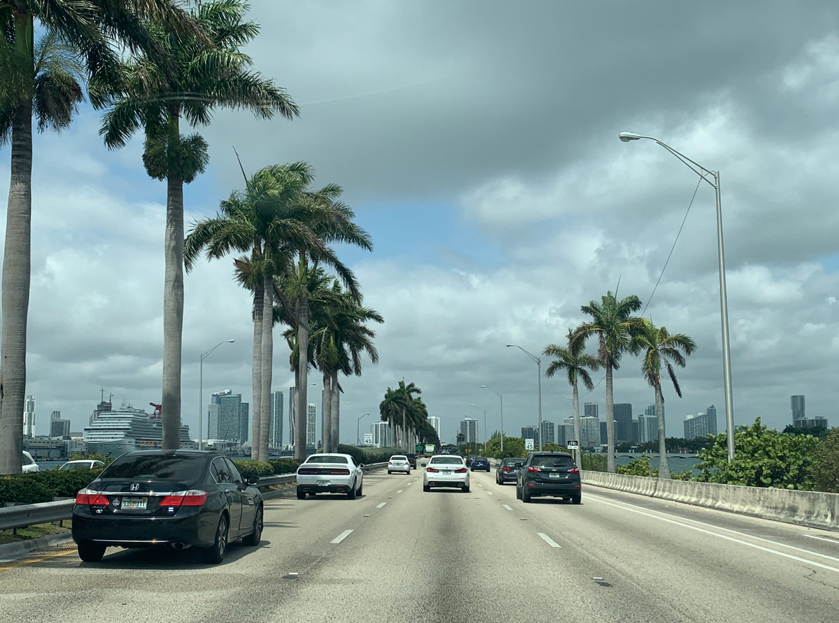
MacArthur Causeway proceeds west along a narrow strip of land paralleling the Main Channel and the Port of Miami.
04/10/21
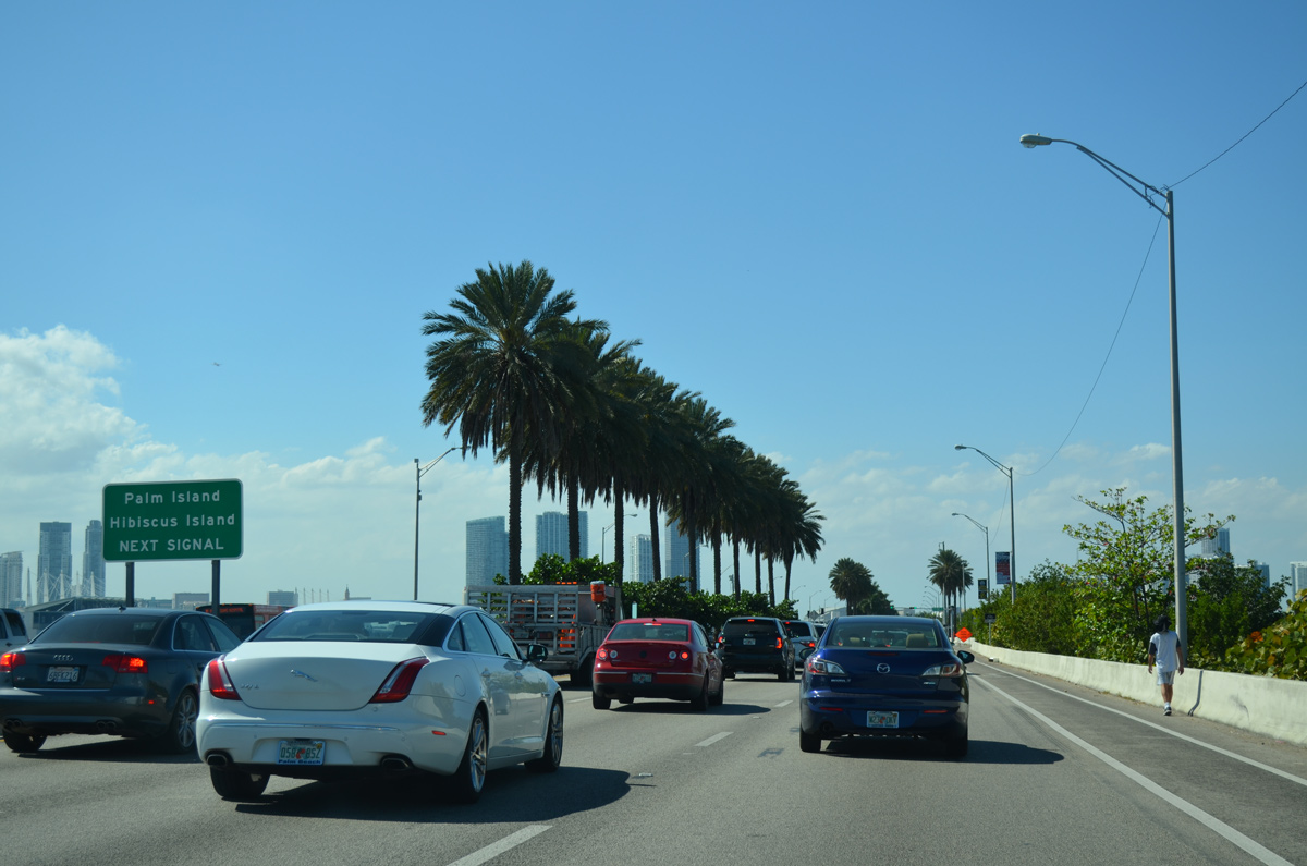
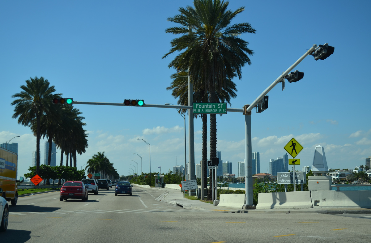
Fountain Street bridges Biscayne Bay north from MacArthur Causeway onto both Palm and Hibiscus Islands.
03/04/14
Adjacent Dodge Island and the Port of Miami to the south of MacArthur Causeway.
03/25/06
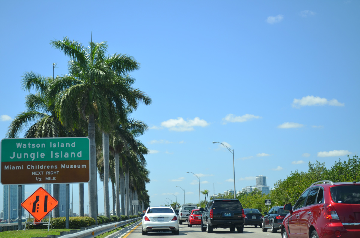
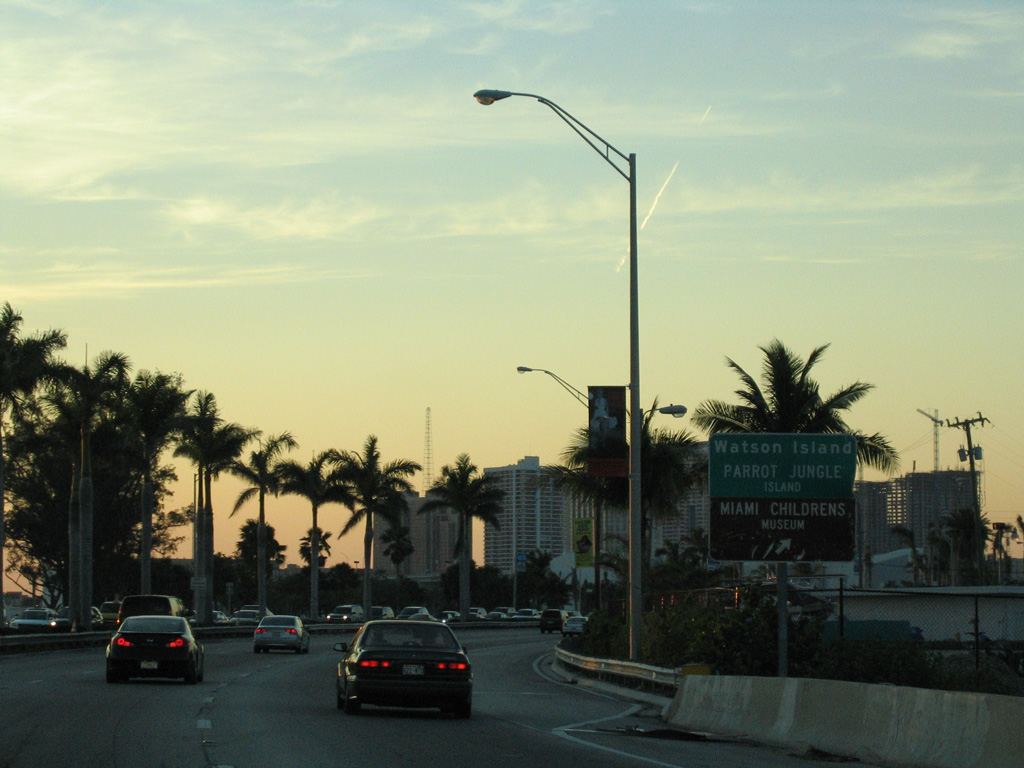
Advancing west toward Watson Island, ramps line both sides of MacArthur Causeway with Parrot Jungle Trail.
04/01/14
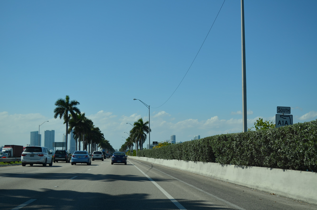
SR A1A south reassurance marker posted after Fountain Street.
04/01/14
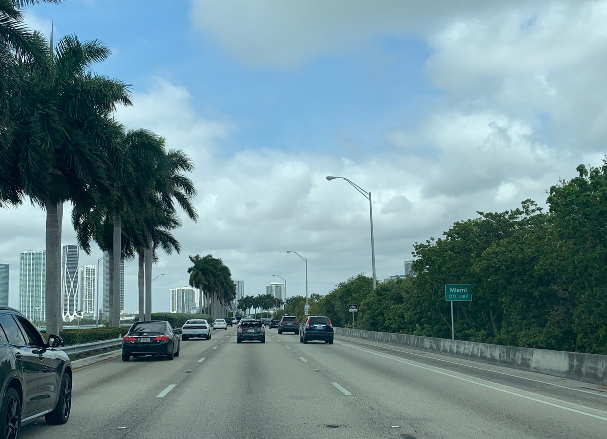
MacArthur Causeway westbound crosses into the Miami city limits at Watson Island.
04/10/21
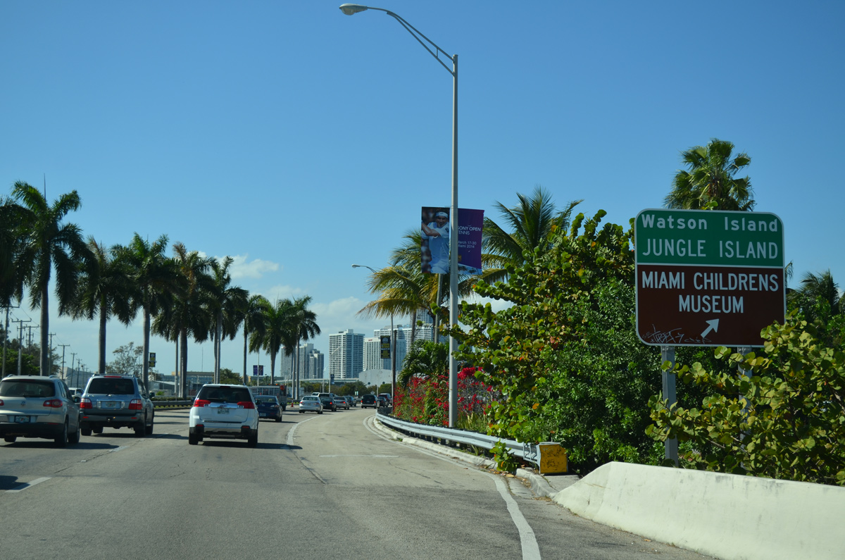
SR A1A south reaches the right in right out (RIRO) ramps with Parrot Jungle Trail. The adjacent frontage road loops west to Jungle Island zoological park and the Miami Children's Museum.
04/01/14
03/25/06
03/04/14
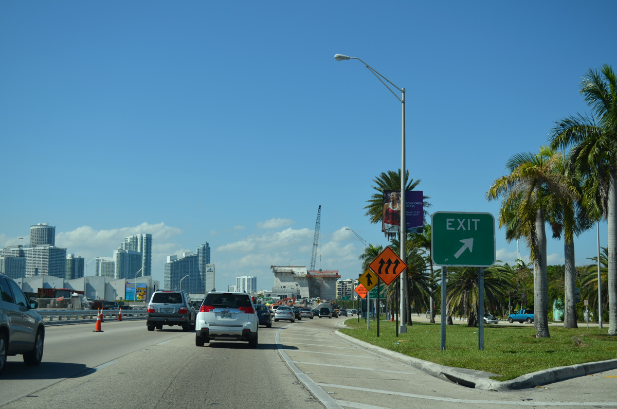
MacArthur Causeway curves west from Watson Island to span the Intracoastal Waterway to Interstate 395 and an off-ramp for NE 13th Street and U.S. 1 (Biscayne Boulevard).
03/04/14
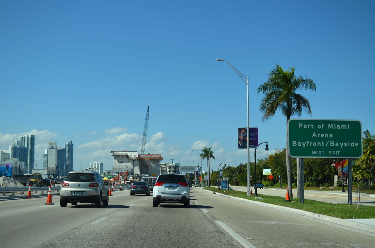
Completed on August 3, 2014, the PortMiami Tunnel (SR 887) ties into the inside lanes of MacArthur Causeway at the Intracoastal Waterway. The tunnel links the Port of Miami and Dodge Island with Interstates 395 and 95.
04/01/14
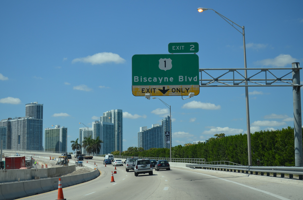
The Miami-Dade County segment of SR A1A concludes at the west end of MacArthur Causeway, where Interstate 395 begins at U.S. 1 (Exit 2).
04/01/14
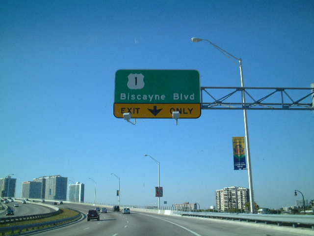
This replaced overhead once included a shield for U.S. 41, from when the US Route turned south alongside U.S. 1 (Biscayne Boulevard) through Downtown Miami.
01/06/01
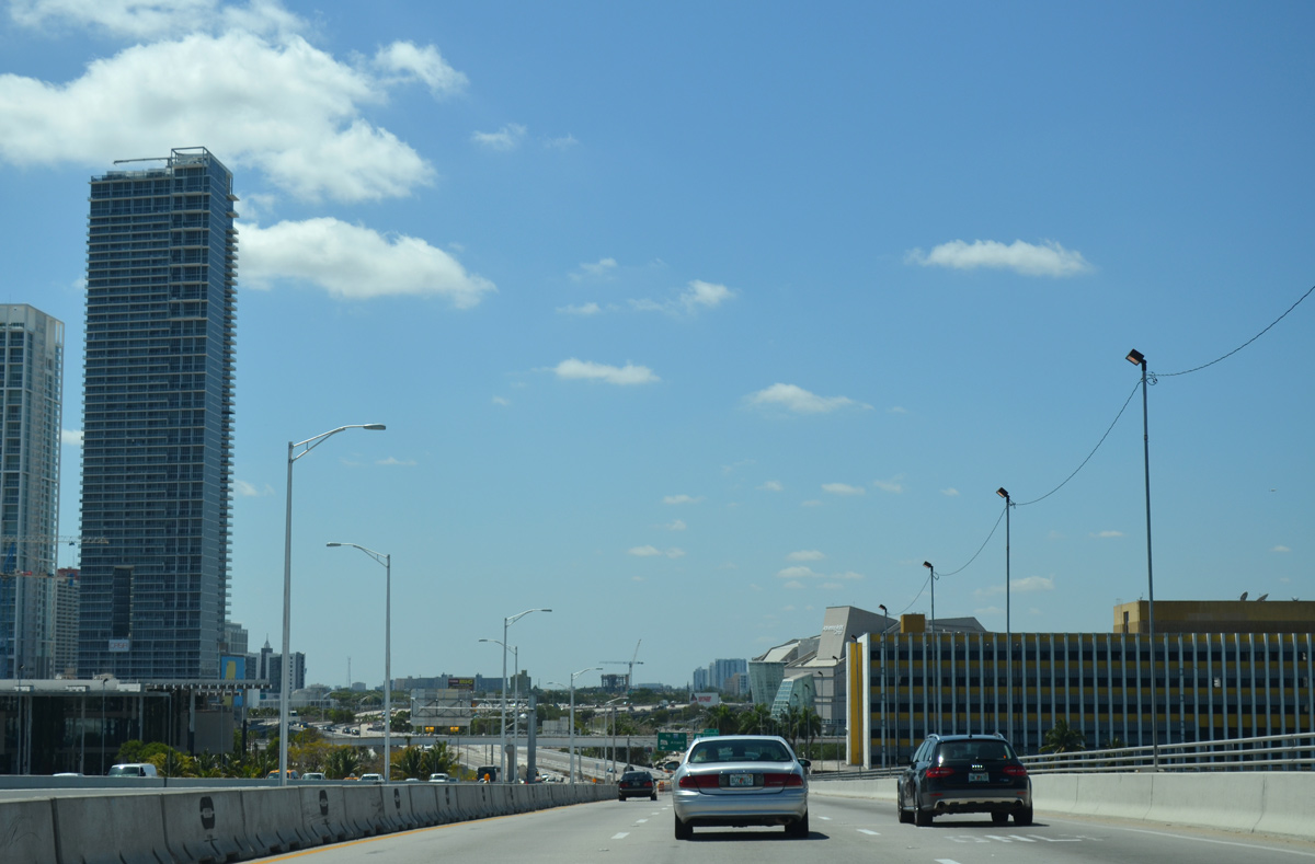
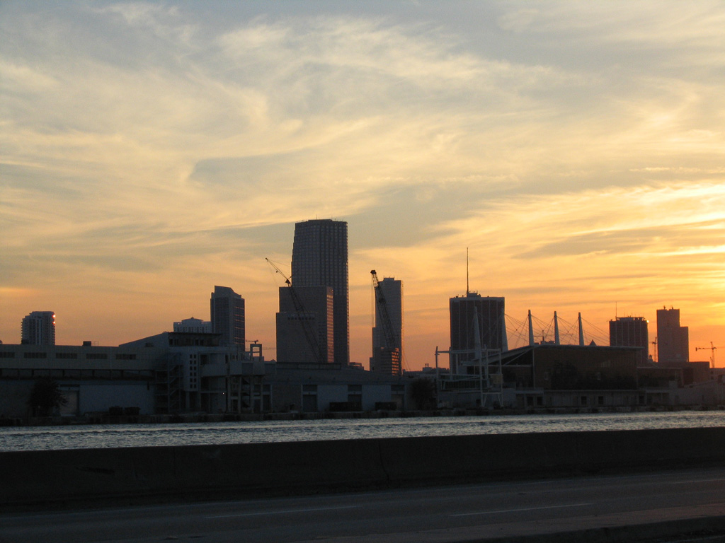
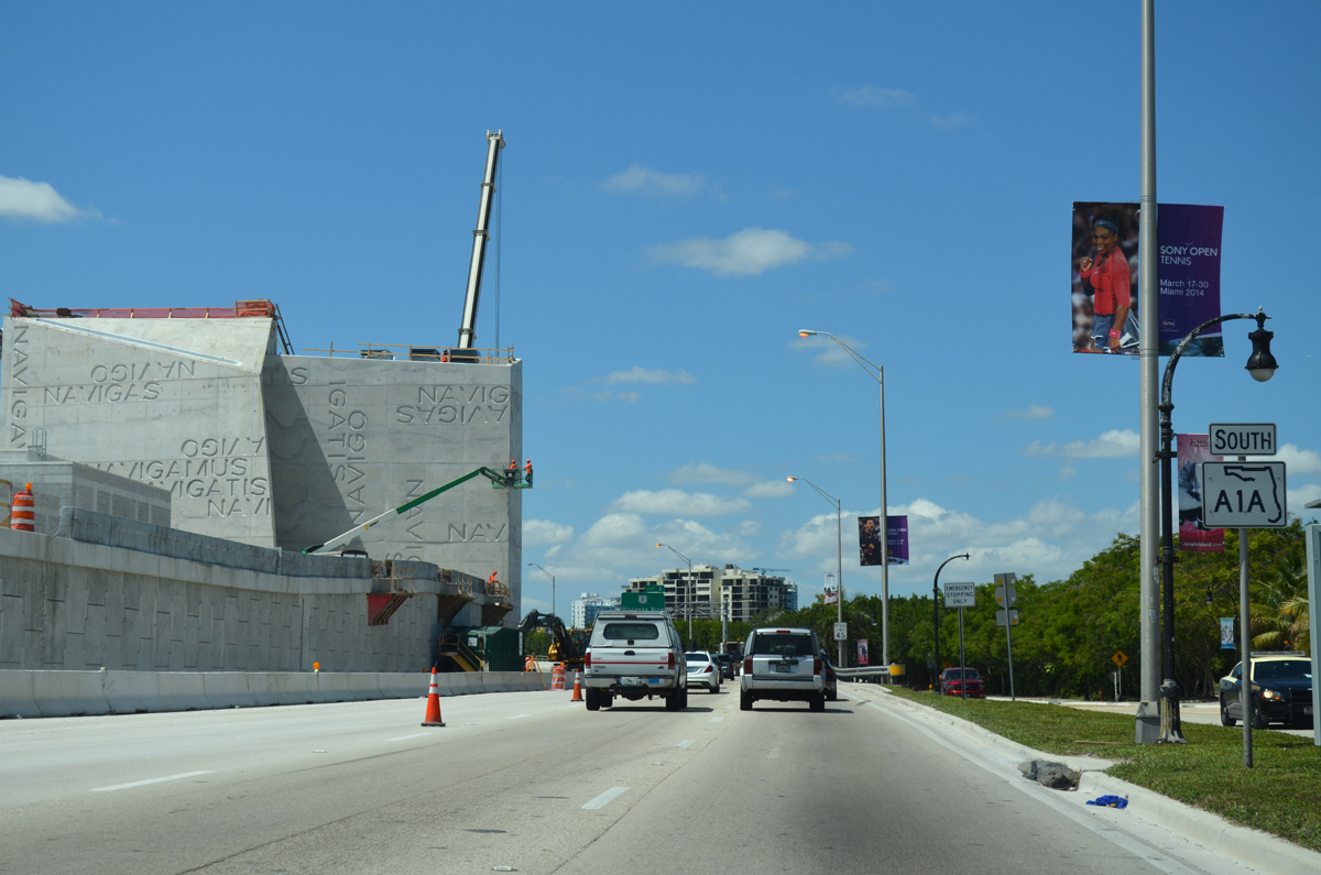
The Miami Herald building came into view as MacArthur Causeway lowered toward the north end of Downtown and the Omni neighborhood in Miami. The newspaper headquarters commenced operations at the site along Biscayne Bay in 1963. Demolition of the complex was completed on March 3, 2015.1
04/01/14
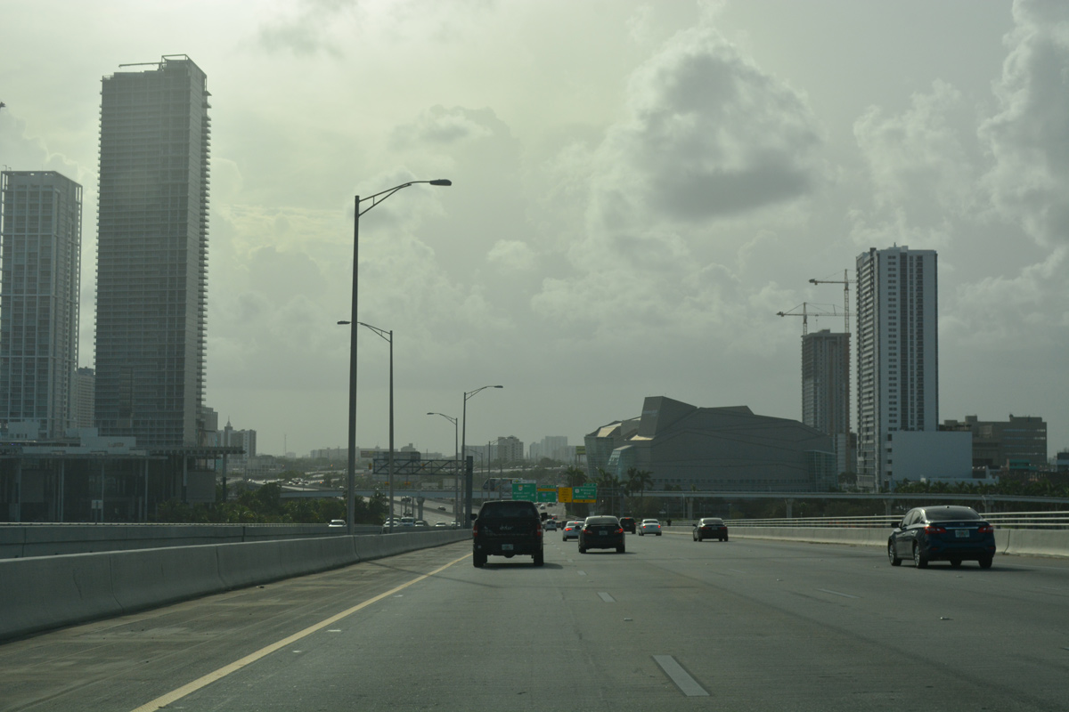
MacArthur Causeway westbound spans the Intracoastal Waterway of Biscayne Bay with four lanes toward a split diamond interchange (Exit 2) with U.S. 1 (Biscayne Boulevard) and NE 1st Avenue. Construction starting in December 2017 completely rebuilds the elevated viaduct carrying I-395 west from MacArthur Causeway to I-95 and the Dolphin Expressway (SR 836).
09/30/17
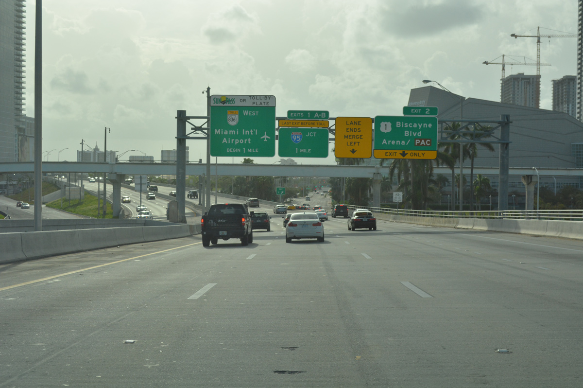
Exit 2 departs from the ending SR A1A southbound as I-395 and unsigned SR 836 west takes over on the freeway west. Interstate 395 leads west to the Midtown Interchange with I-95 and tolled Dolphin Expressway (SR 836) west to Miami International Airport (MIA).
09/30/17
References:
- "Miami Herald's iconic building is history." Miami Herald (FL), March 3, 2015.
Photo Credits:
- Andy Field: 01/06/01
- Alex Nitzman: 03/25/06, 03/26/06, 05/17/08, 03/04/14, 04/01/14
- Peter Johnson: 04/10/21
- ABRoads: 09/30/17
Connect with:
Page Updated Monday July 12, 2021.