
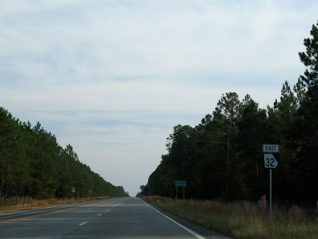
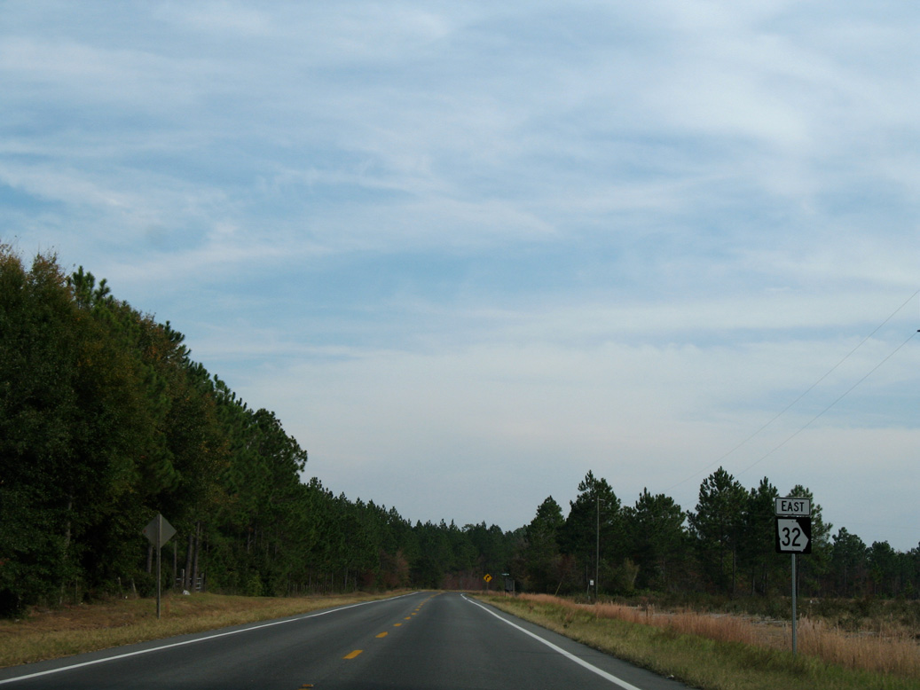
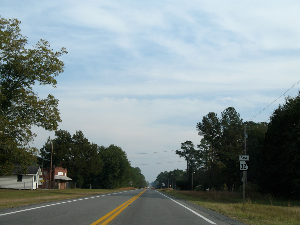
State Route 32
State Route 32 stretches 188.58 miles across south Georgia between Dawson and the Brunswick area.
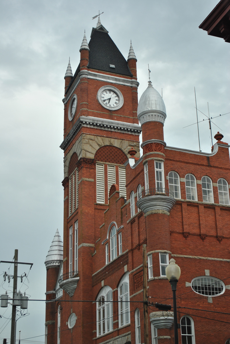
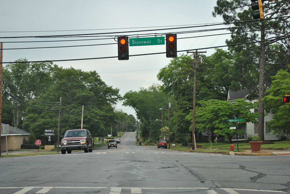
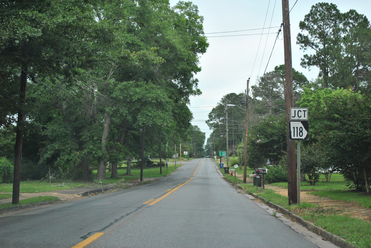
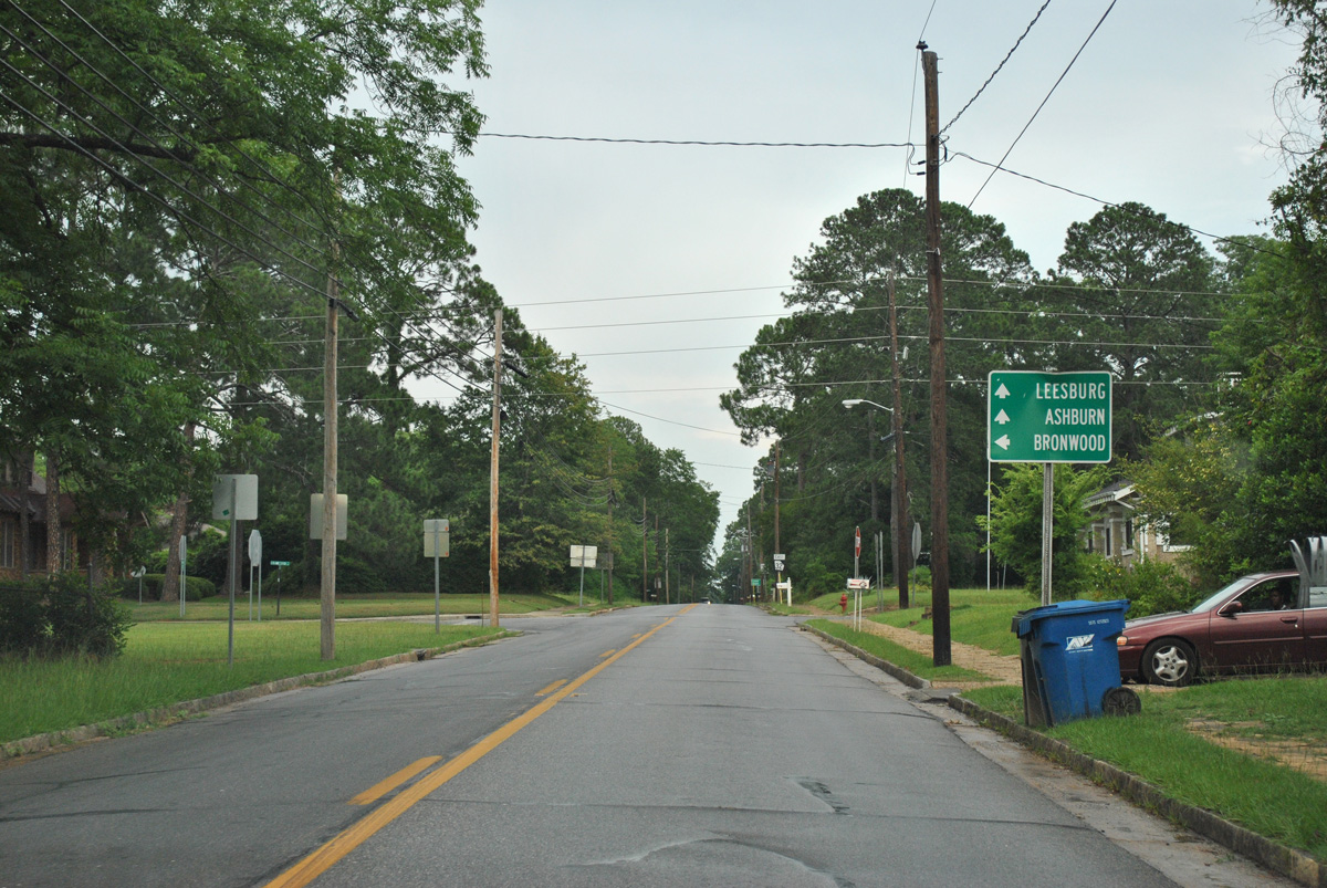
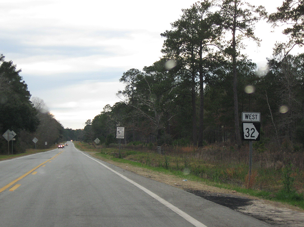
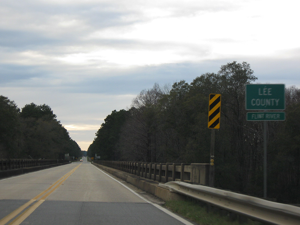
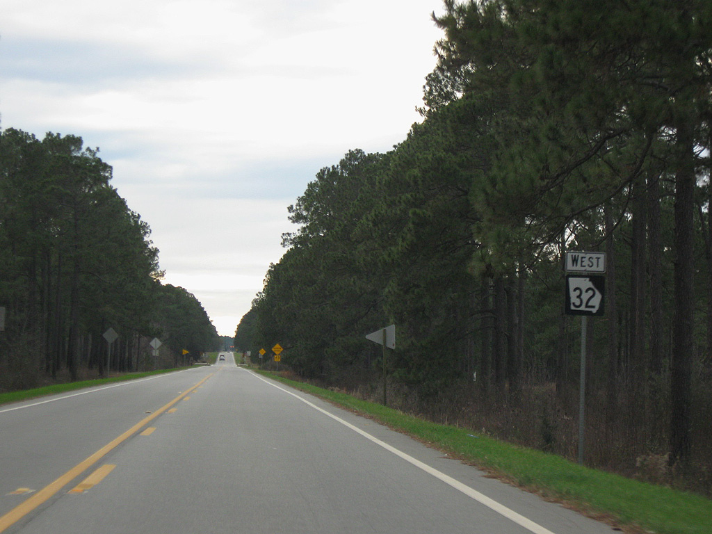
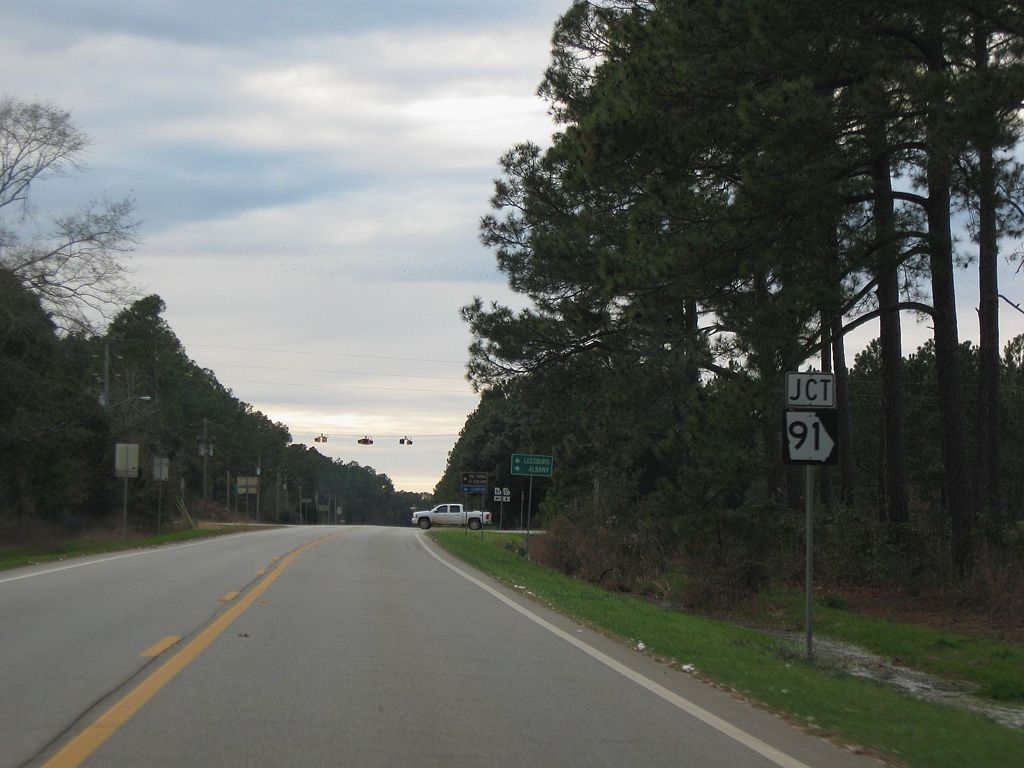
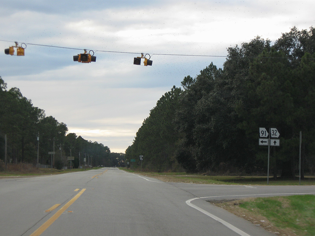
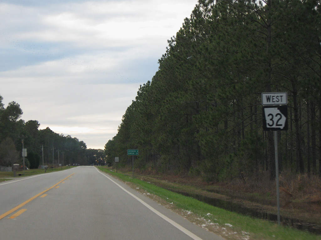
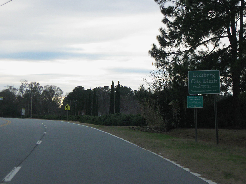
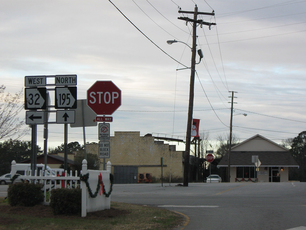
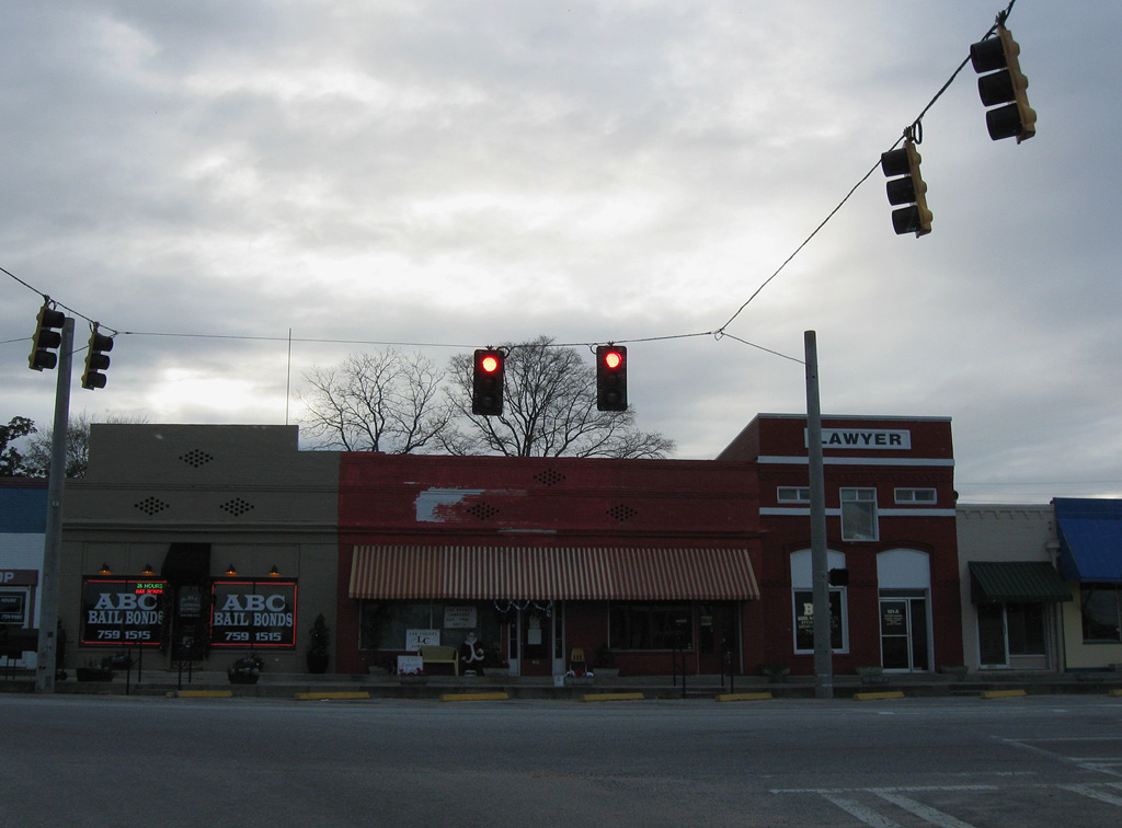
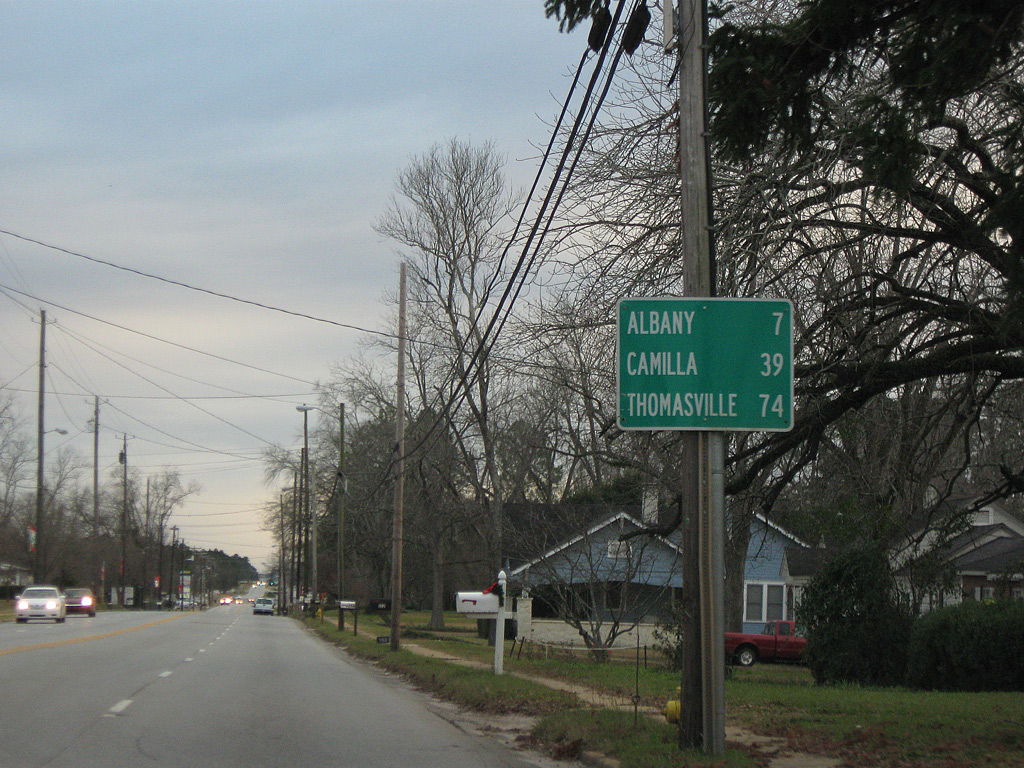
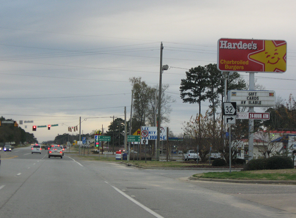
Beginning at SR 45/520 (Vine Street) and W Lee Street at Downtown Dawson, SR 32 runs 17.2 miles east to U.S. 19BY/SR 3BY encircling Leesburg. SR 32 dog legs south on U.S. 19BY and then north along U.S. 19/SR 3 into the Lee County seat. Following Main Street from Downtown Leesburg, SR 32 continues east toward Worth County.
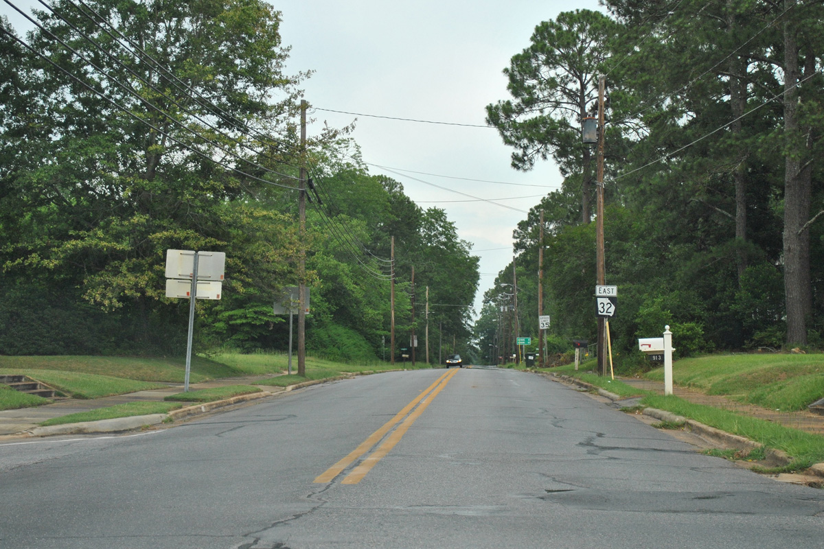
Within Turner County, SR 32 combines with SR 112 (Washington Avenue) for 0.74 miles east to the county seat of Ashburn. SR 32 turns south along U.S. 41/SR 7 for 3.00 miles to Jefferson Davis Highway in Sycamore. Branching east from U.S. 41, SR 32 meets Interstate 75 at Exit 78 en route to Irwin County.
SR 125 combines with SR 32 for 4.49 miles northeast across the Alapaha River to the unincorporated community of Irwinville. Beyond their separation, SR 125 angles northeast to Fitzgerald while SR 32 heads southeast to Mystic and Ocilla. Within the Irwin County seat, SR 32 combines with U.S. 319 along W 4th Street east 0.61 miles to U.S. 129 (Irwin Avenue).
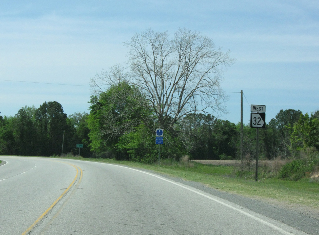
Advancing east into Coffee County, SR 32 passes south of Ambrose ahead of the city of Douglas. Through Downtown Douglas, SR 32 partitions into the couplet of Ashley Street east and Ward Street west. The state route shifts onto U.S. 221/SR 135 for 0.15 miles before resuming an eastward course from Douglas to General Coffee State Park and the city of Nicholls.
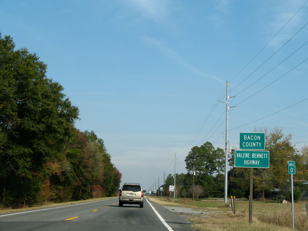
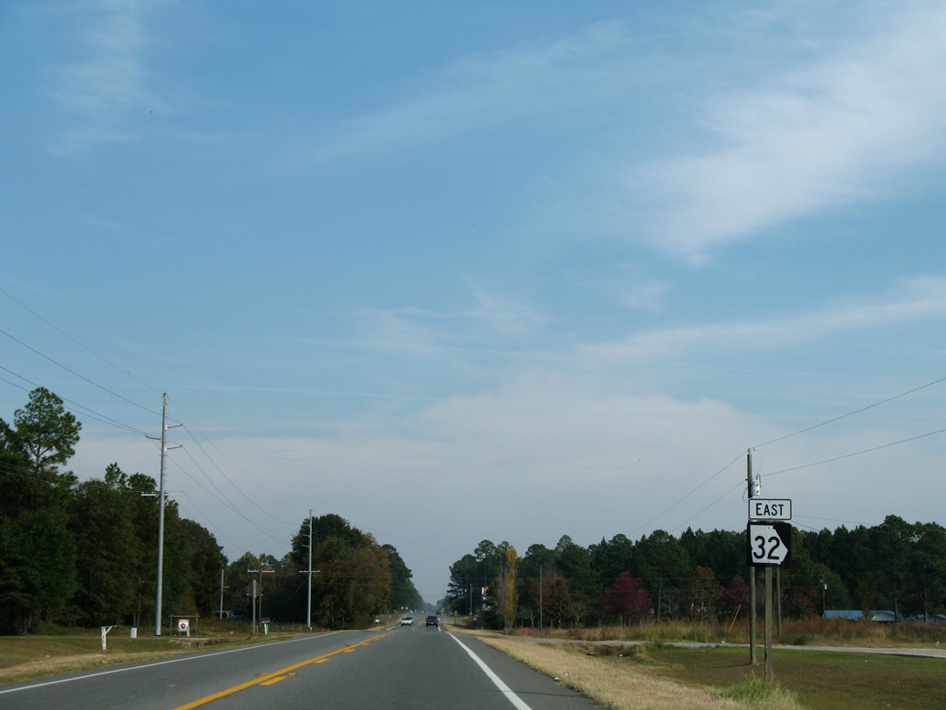
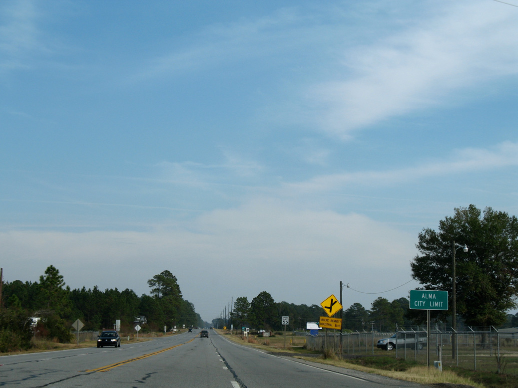
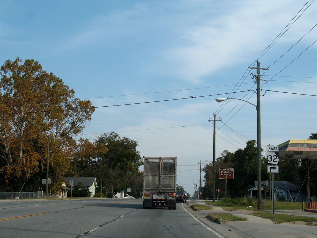
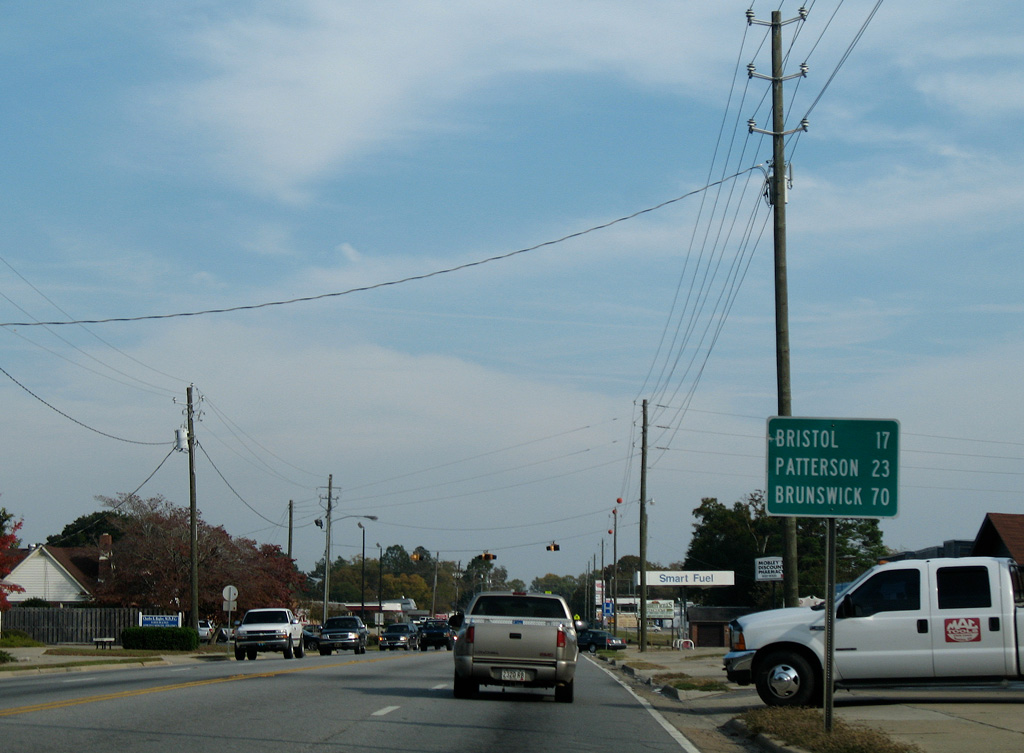
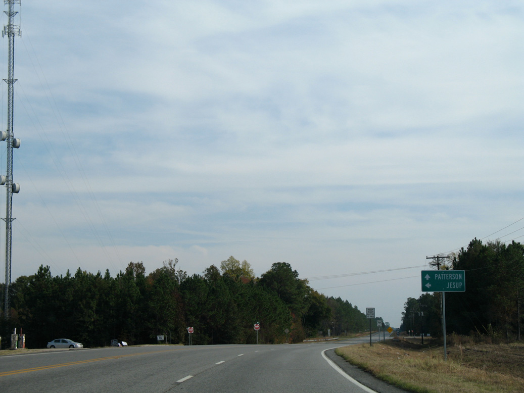
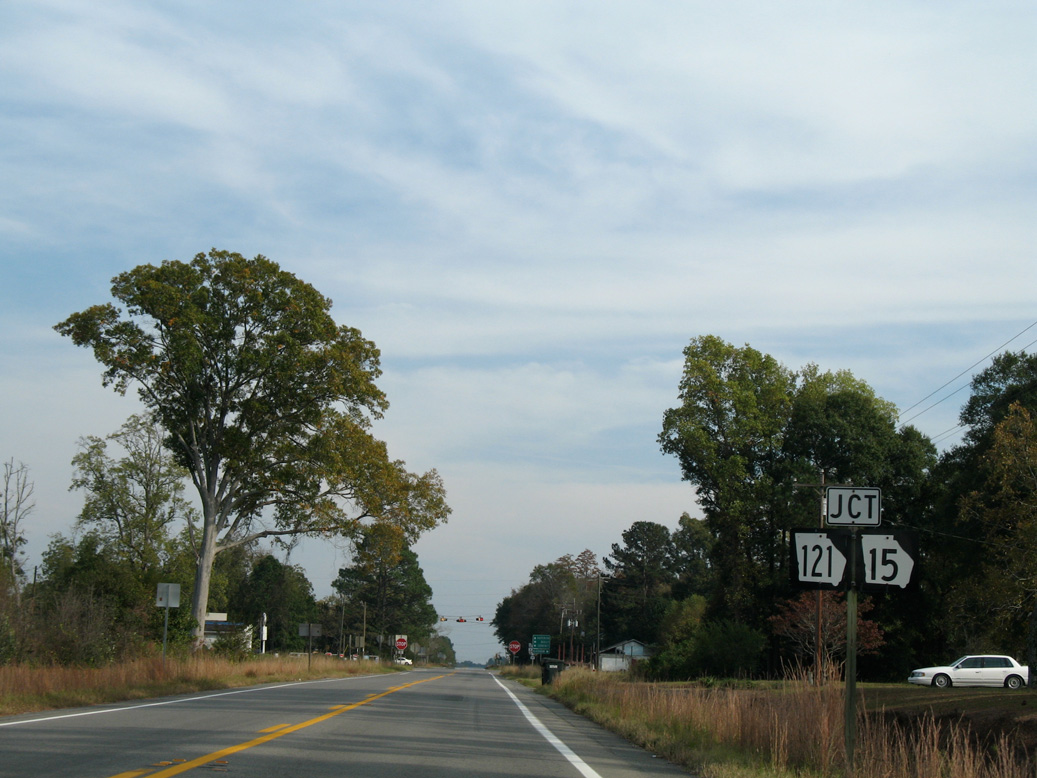
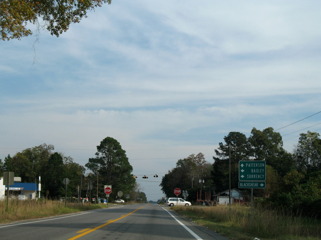
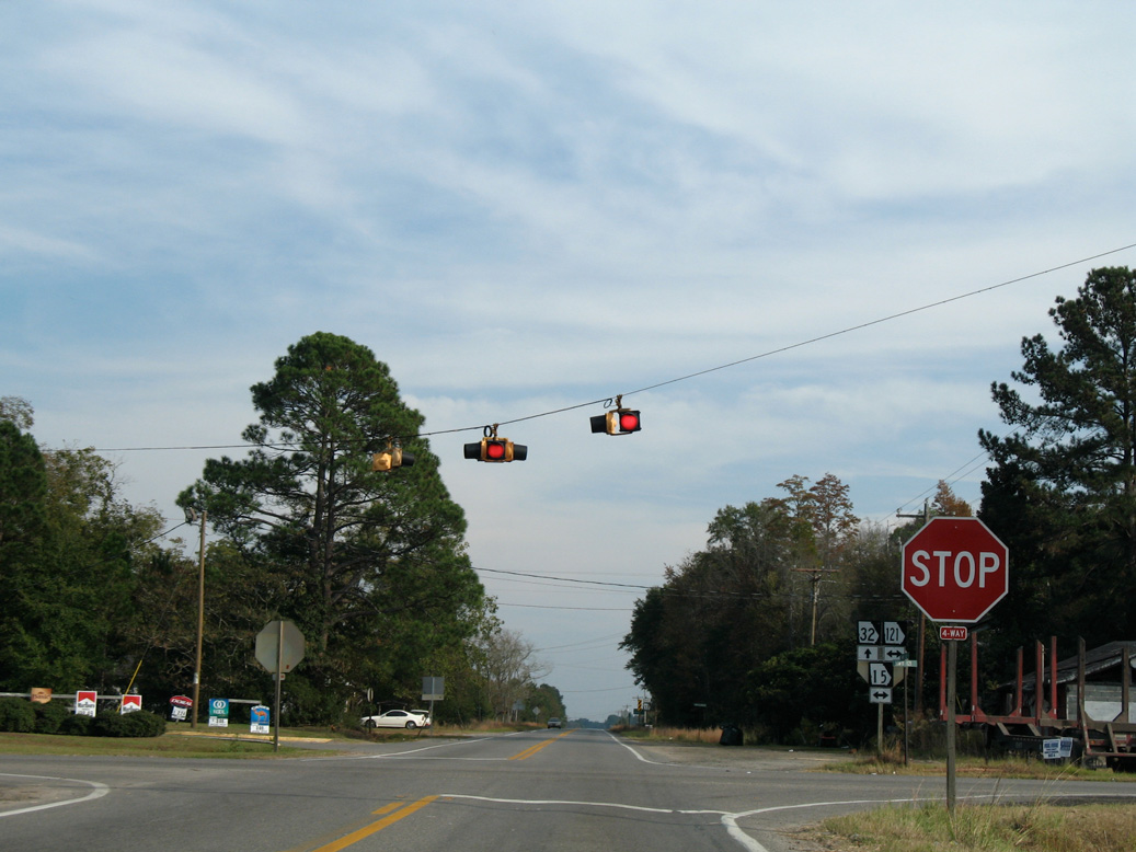
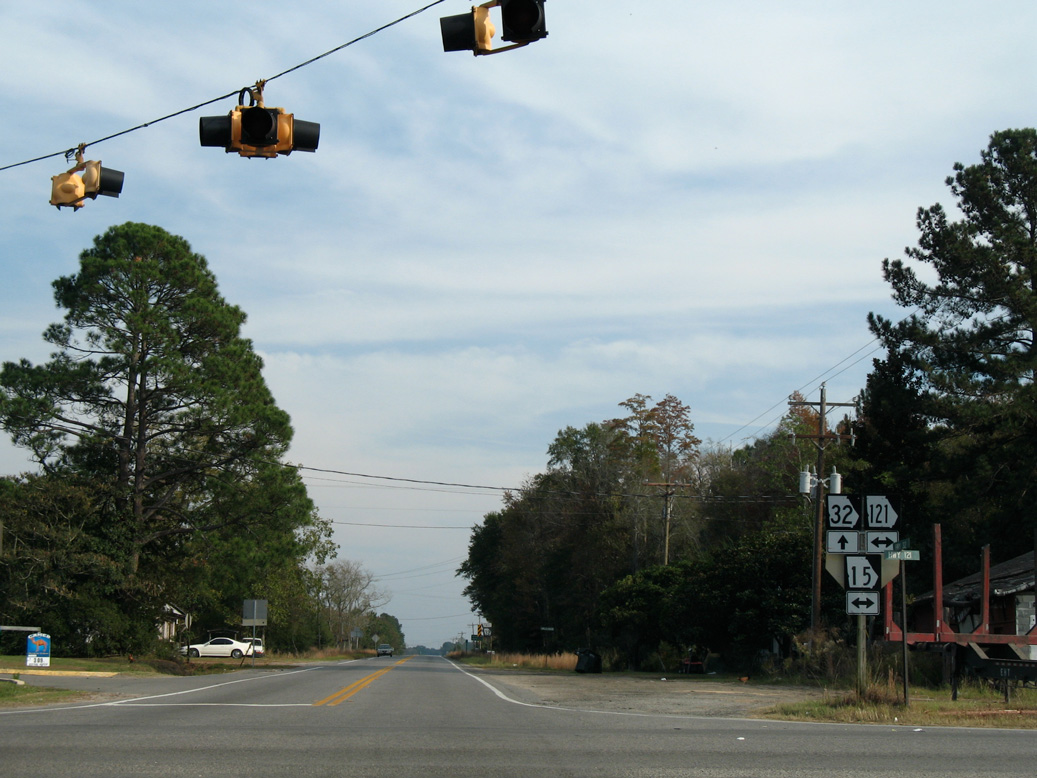
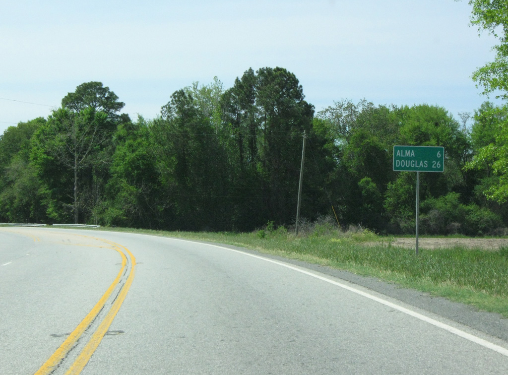
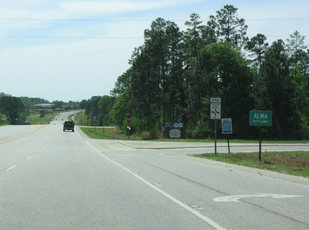
SR 32 travels east across Bacon County to the seat of Alma before turning southward at New Lacy. Through Pierce County, SR 32 connects Bristol with Patterson before entering Brantley County ahead of Hortense. Eastern reaches of SR 32 extend into Glynn County, where the state route combines with SR 99 for 2.94 miles to U.S. 25/341-SR 27. SR 99 continues from the end of SR 32 northeast to I-95 and U.S. 17 south of Darien.
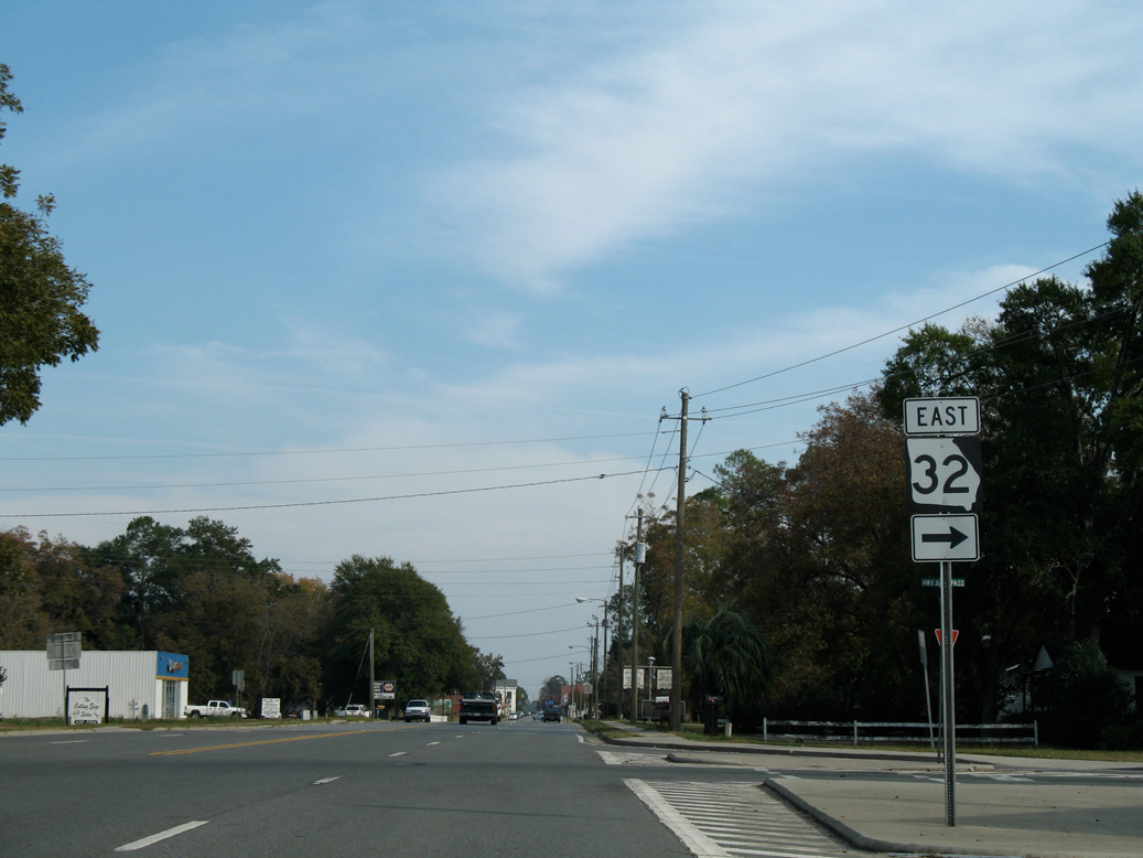
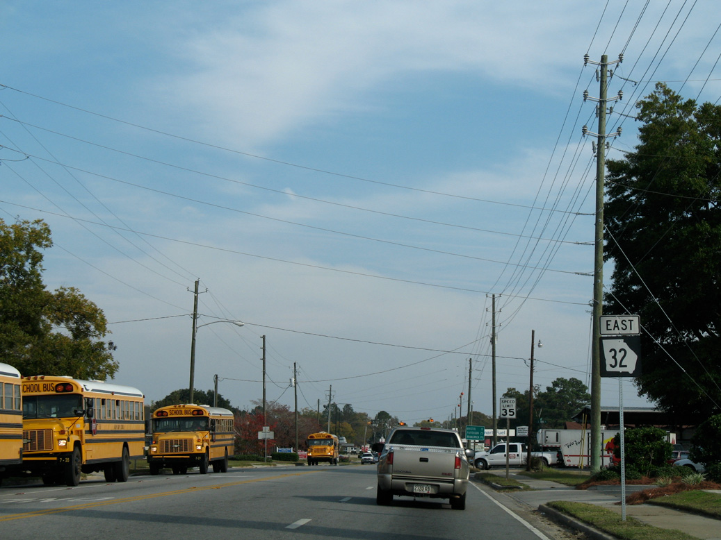
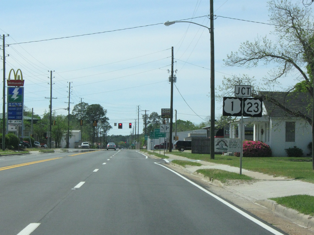
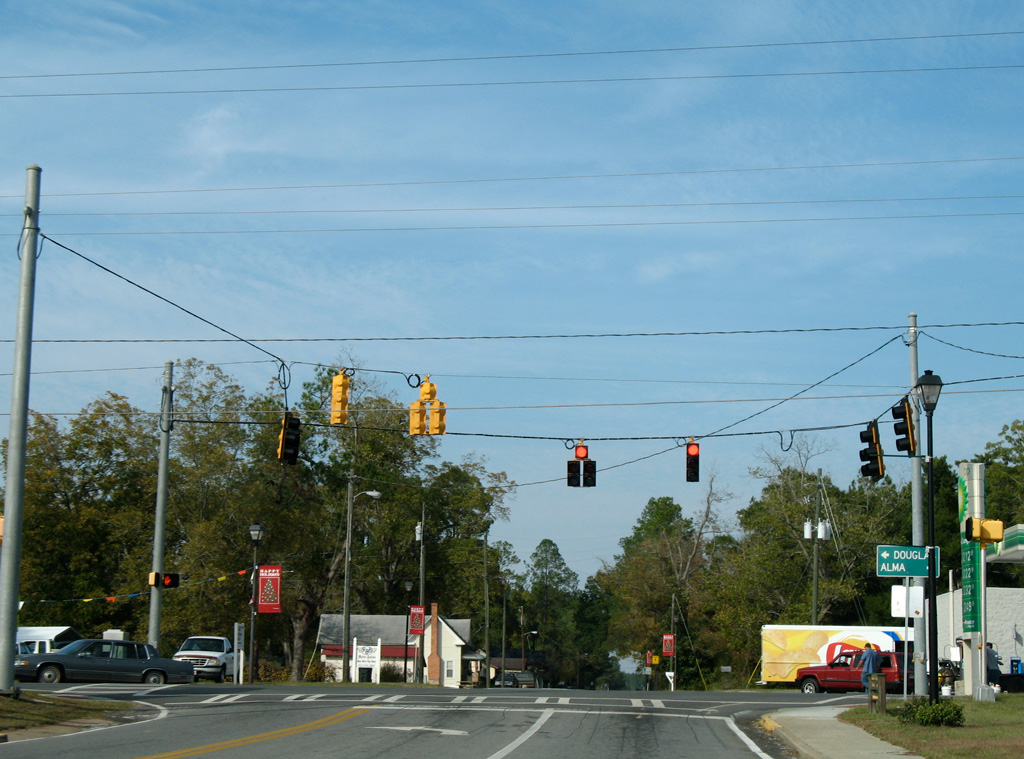
 East
East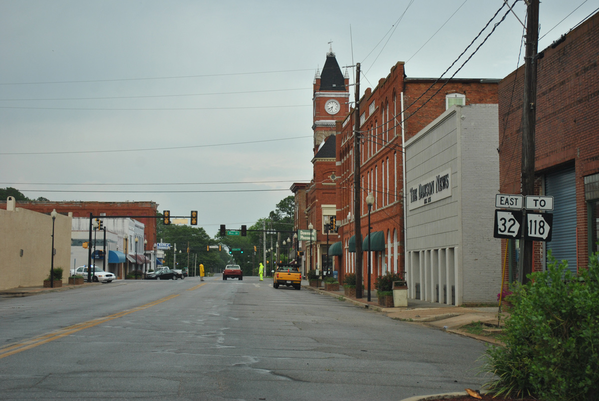
05/31/12
05/31/12
05/31/12

05/31/12
05/31/12
05/31/12
05/31/12

11/10/06
11/10/06

11/10/06
11/10/06
11/10/06
11/10/06
11/10/06
11/10/06
11/10/06
11/10/06
11/10/06
11/10/06
11/10/06

11/10/06
11/10/06

11/10/06
11/10/06
11/10/06

11/10/06
11/10/06
11/10/06

11/10/06
11/10/06
11/10/06
11/10/06
11/10/06
11/10/06
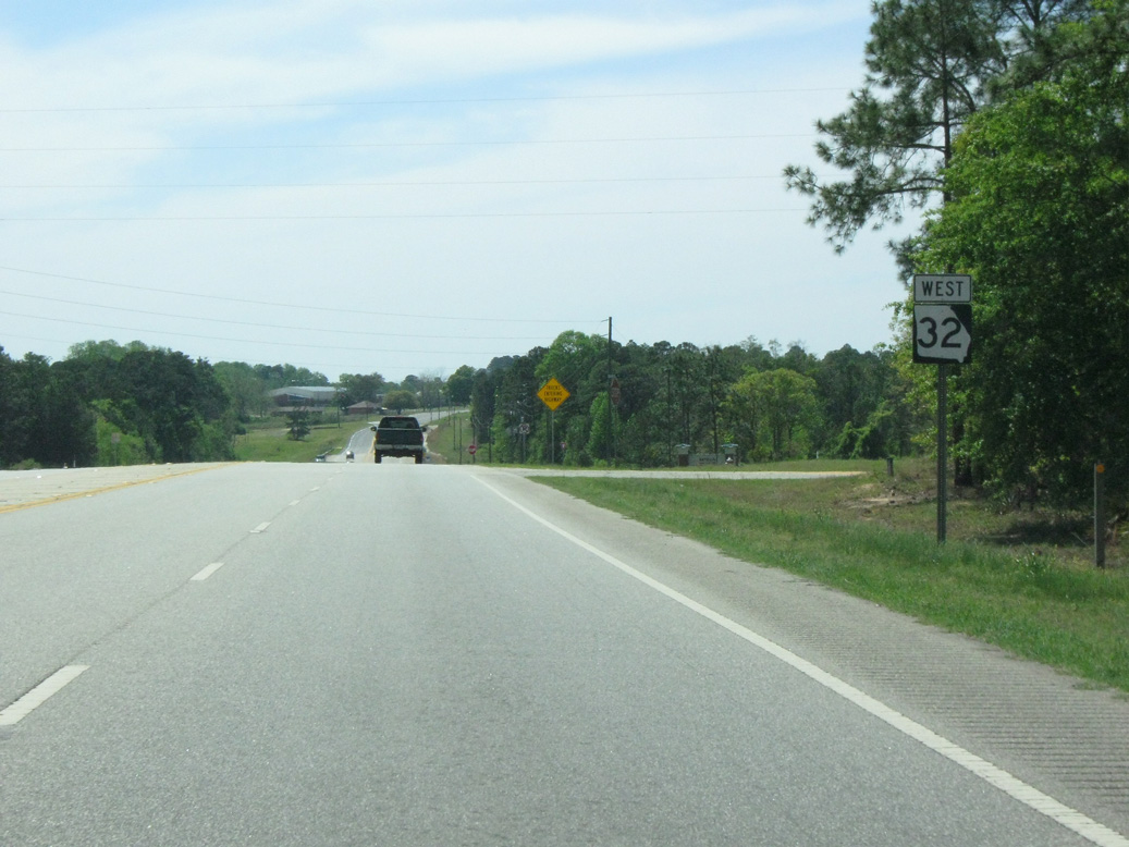
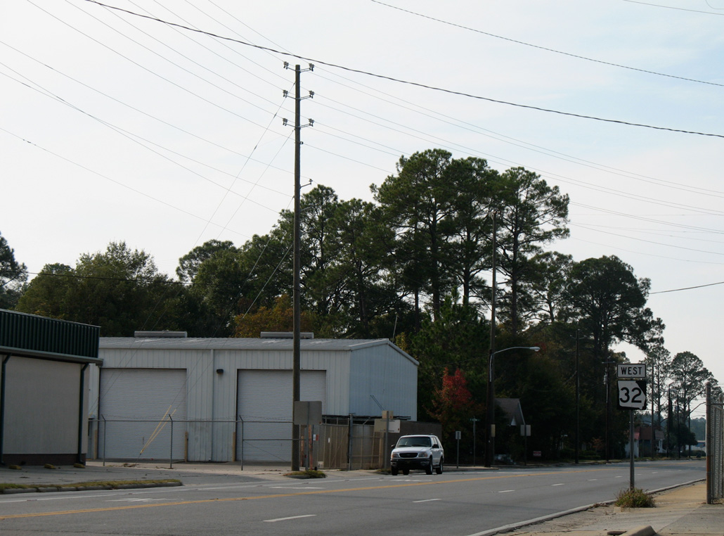
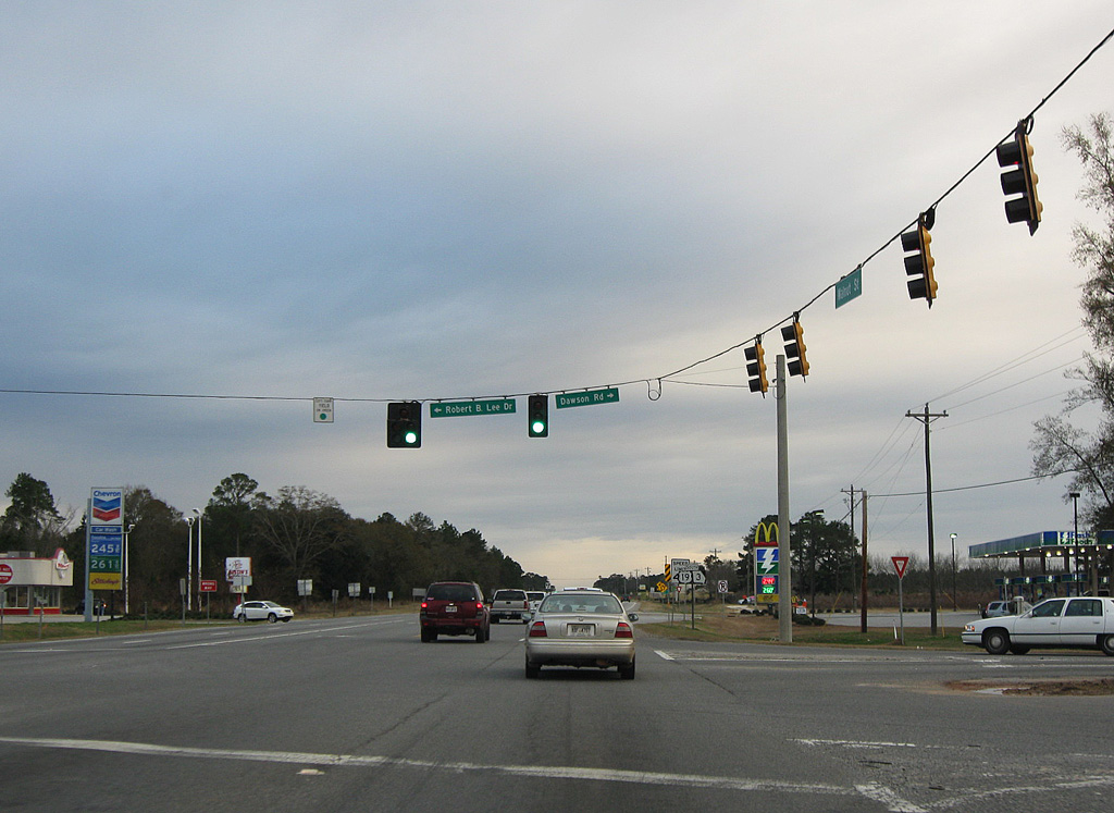
West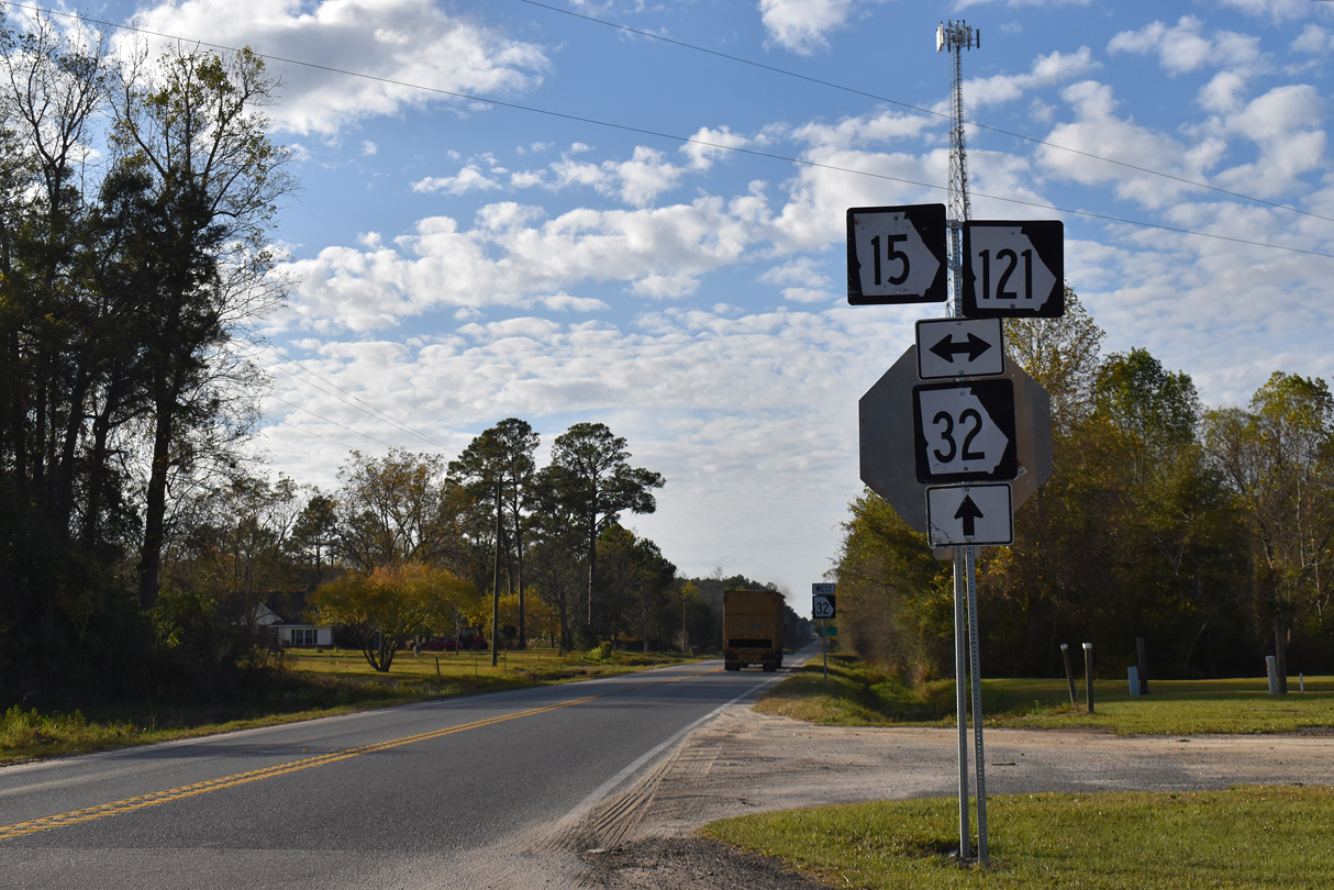
11/21/21
04/10/10
04/10/10
04/10/10
04/10/10
04/10/10
04/10/10
11/10/06
12/27/09
12/27/09
12/27/09
12/27/09
12/27/09
12/27/09
12/27/09
12/27/09

12/27/09
12/27/09
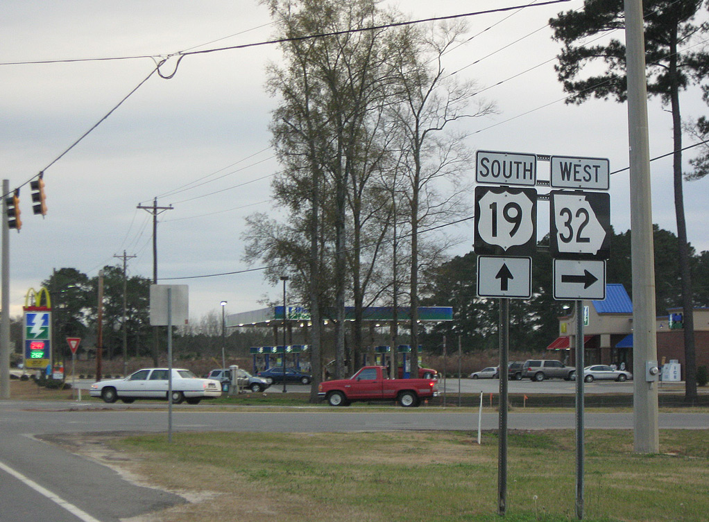
 South West
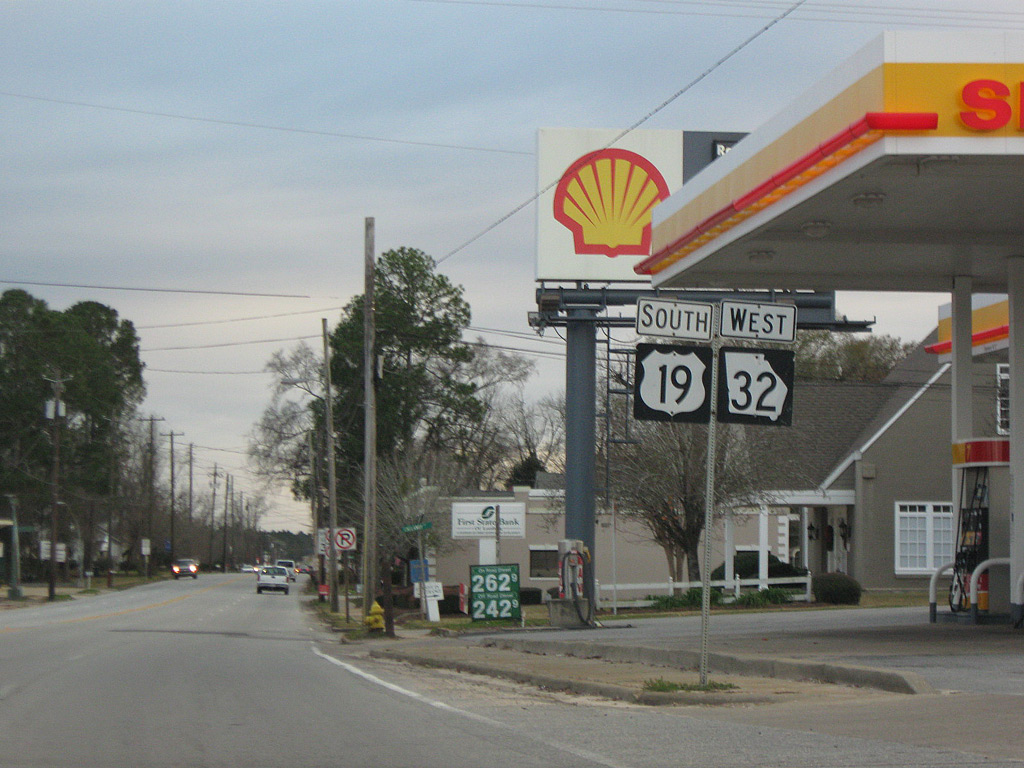
12/27/09
12/27/09
12/27/09
12/27/09
12/27/09
scenes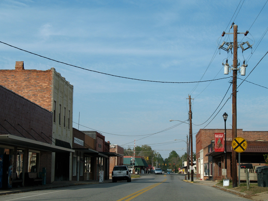
11/10/06
11/10/06
11/10/06
11/10/06
11/10/06
11/10/06
Photo Credits:
- ABRoads: 05/31/12, 11/21/21
- Alex Nitzman: 11/10/06
- Brent Ivy: 12/27/09, 04/10/10
Connect with:


Page Updated Thursday March 17, 2022.