
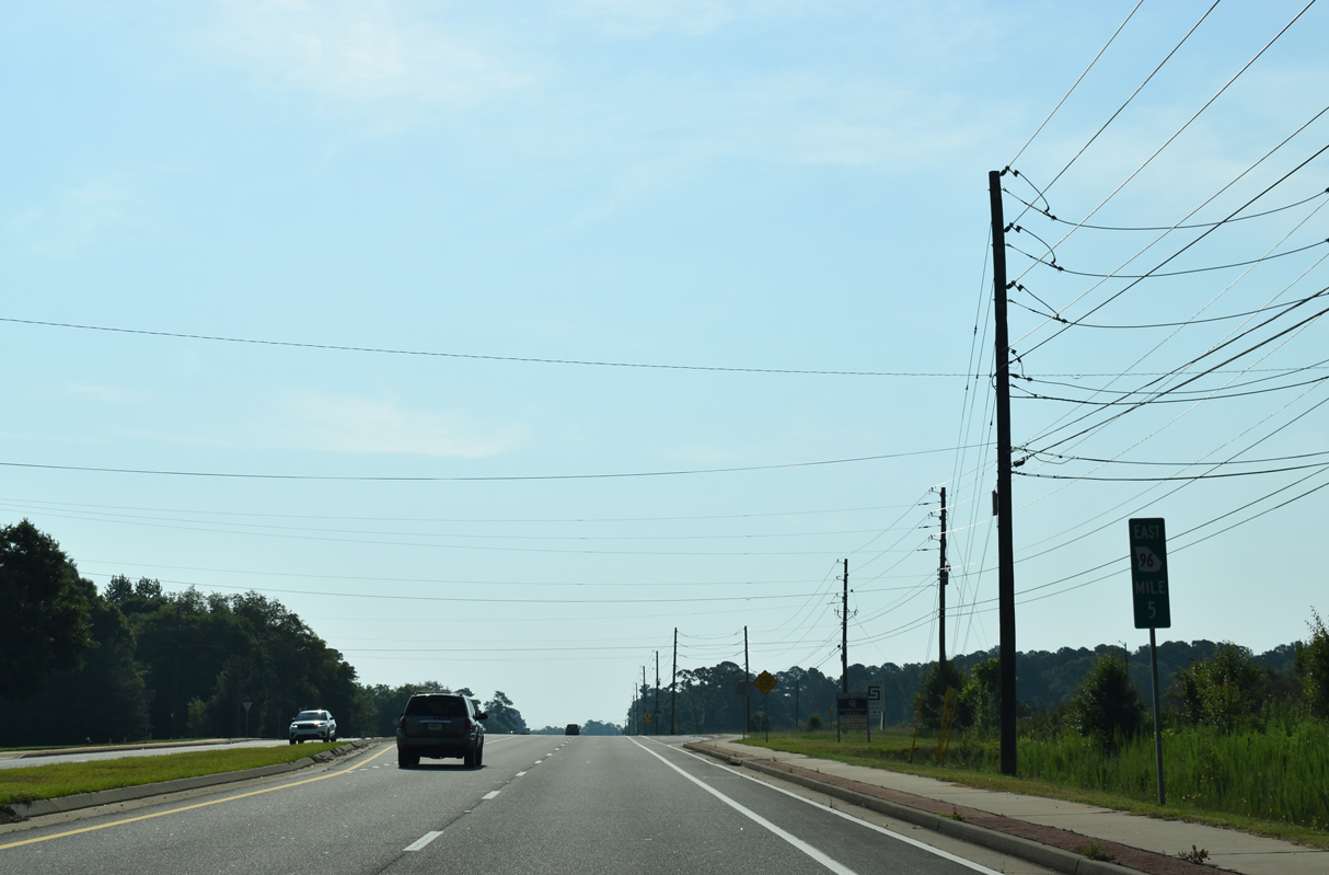
State Route 96
State Route 96 travels 95.06 miles across south central Georgia from U.S. 80/SR41 in the Talbot County of Geneva to U.S. 441/SR 29 south of Irwinton in rural Wilkinson County. With the establishment of the Fall Line Freeway, the western 39.16 miles through Junction City and Butler are entirely overlapped with SR 540. SR 96 emerges from SR 540 at Fort Valley and continues east to Warner Robins and north to Jeffersonville.
Upgrades to SR 96 as part of the Fall Line Freeway realigned several sections of the highway. A 0.68 mile long loop of Old Highway 96 emerges south of SR 96/540 just outside Geneva. SR 90 accompanies SR 96/540 along a bypass of Junction. Junction City Street to the north, from the Fall Line Freeway east 1.46 miles to Buckner Road/Old SR 96 (old SR 90) was the former route of SR 90/96.
Four lane construction along SR 96 shifted the route south of the community of Howard. Old State Route 96 loops 2.94 miles north of the Fall Line Freeway there. SR 96/540 also bypass the Taylor County seat of Butler to the south. Columbus Road branches 1.66 miles east from the four lane highway along old SR 96 to SR 137 (Charing Road). SR 96/137 formerly combined east through Downtown Butler to Martin Luther King, Jr. Road, which takes SR 137 north toward Fickling Mill. The 1.19 mile long eastern leg of E Main Street represents old SR 96 back to the Fall Line Freeway.
SR 96/540 again run alongside the Norfolk Southern Railroad east from Butler to the town of Reynolds. Four lane construction shifted SR 96 one block south from Talbot Street, eliminating a short concurrency with SR 128 (Winston Street). East beyond Beechwood Swamp and the Flint River, SR 96/540 curve southward to avoid Nakomis. Old SR 96 remains to the north, for 1.56 miles between River Road and a dead end at the NS Railroad, and a second 0.38 mile long segment east of the former railroad crossing.
SR 96 breaks away from SR 540 (Fall Line Freeway) east to the city of Fort Valley while SR 540 combines with SR 49CO to the north along a controlled access bypass. SR 96 takes Orange Street and Vineville Street east to a five point intersection with U.S. 341/SR 7 (Commercial Heights) and SR 49 (Camelia Boulevard / Bluebird Boulevard). SR 96 dog legs south alongside U.S. 341/SR 7 for 0.15 miles then spans Georgia Midland and Norfolk Southern Railroad tracks to Church Street at SR 7CO.
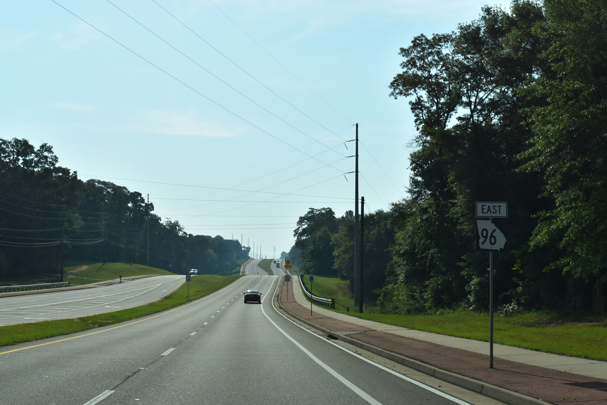
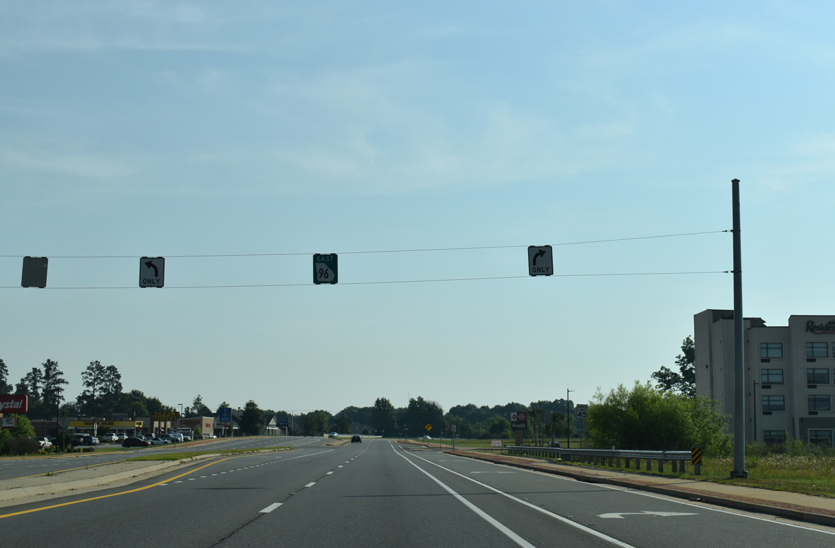
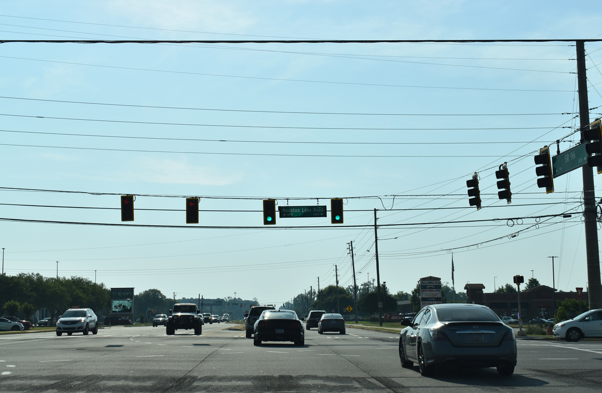
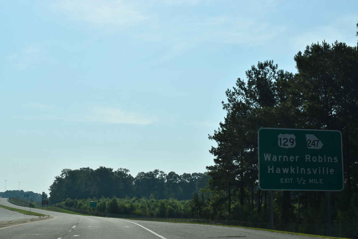
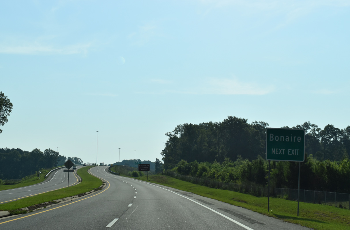
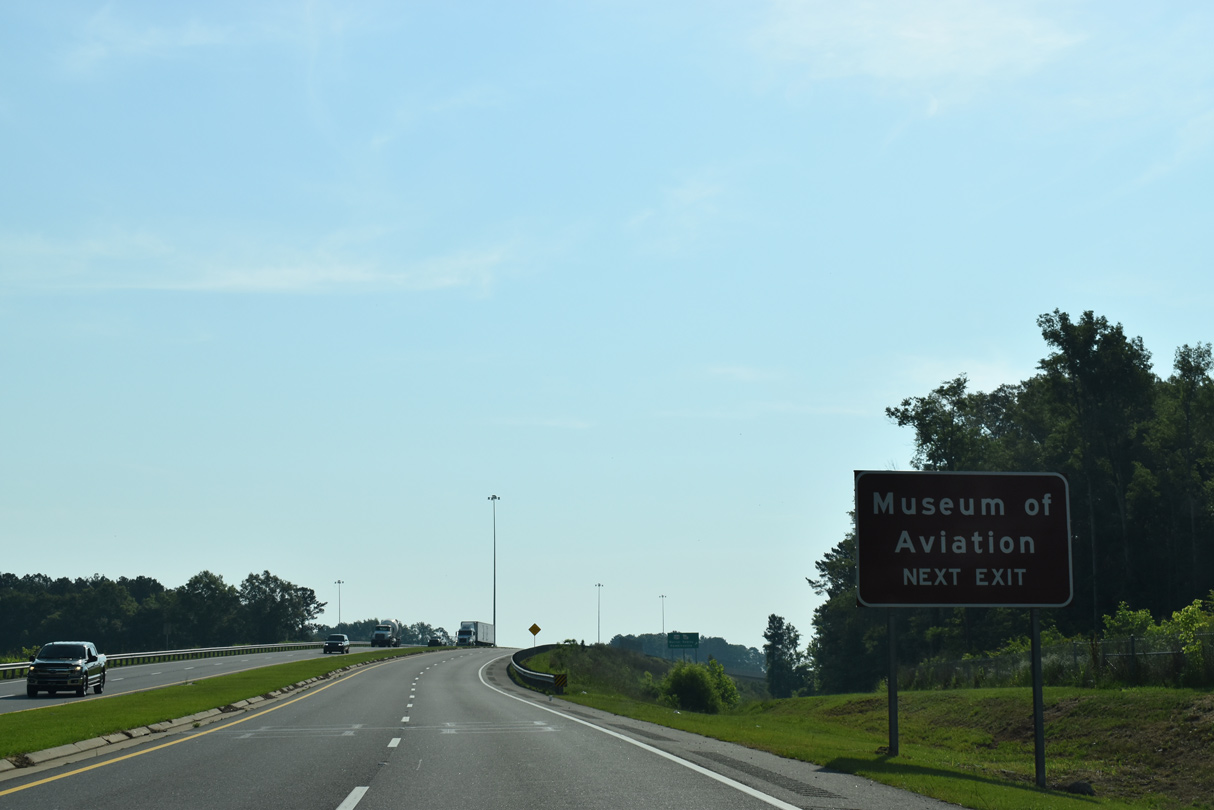
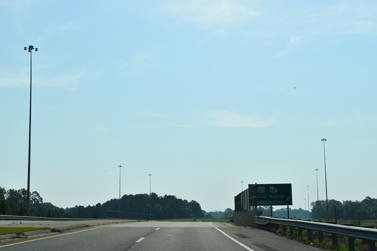
Continuing east from Fort Valley, SR 96 heads to Miami Valley and Interstate 75 beyond Mossy Creek. Entering Houston County at U.S. 41/SR 11, the arterial heads across southern reaches of Warner Robins. Constructed in 2016/17, an expressway bypass takes SR 96 north of Bonaire; Old SR 96 runs 1.93 miles to the south through the unincorporated community.
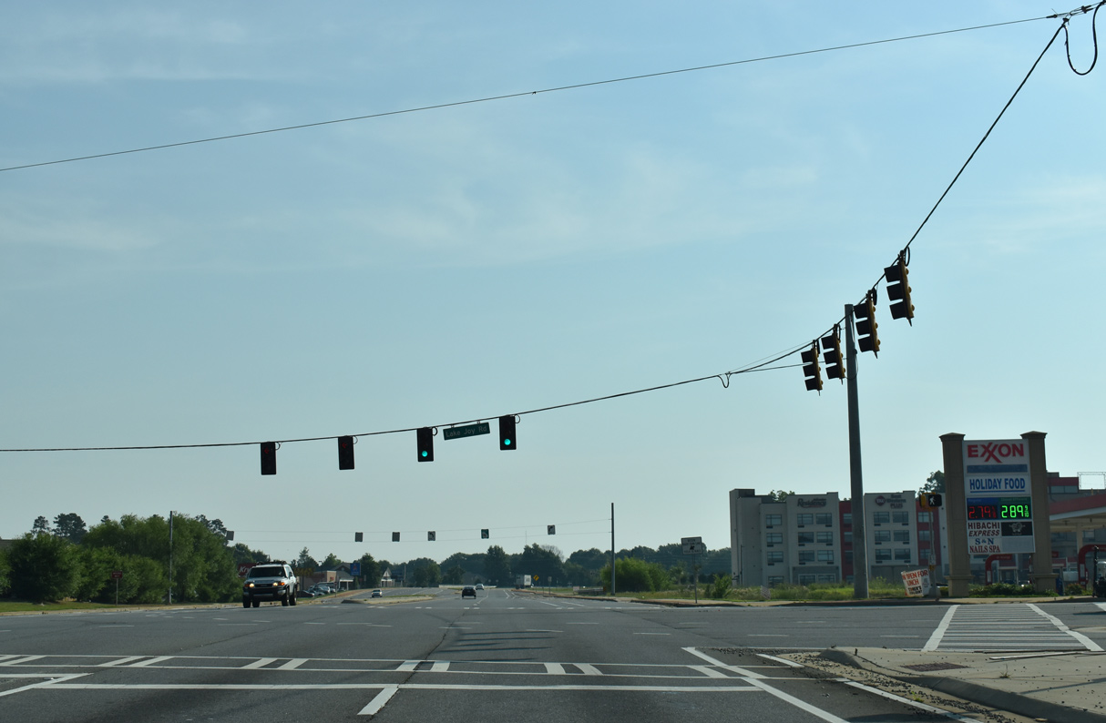
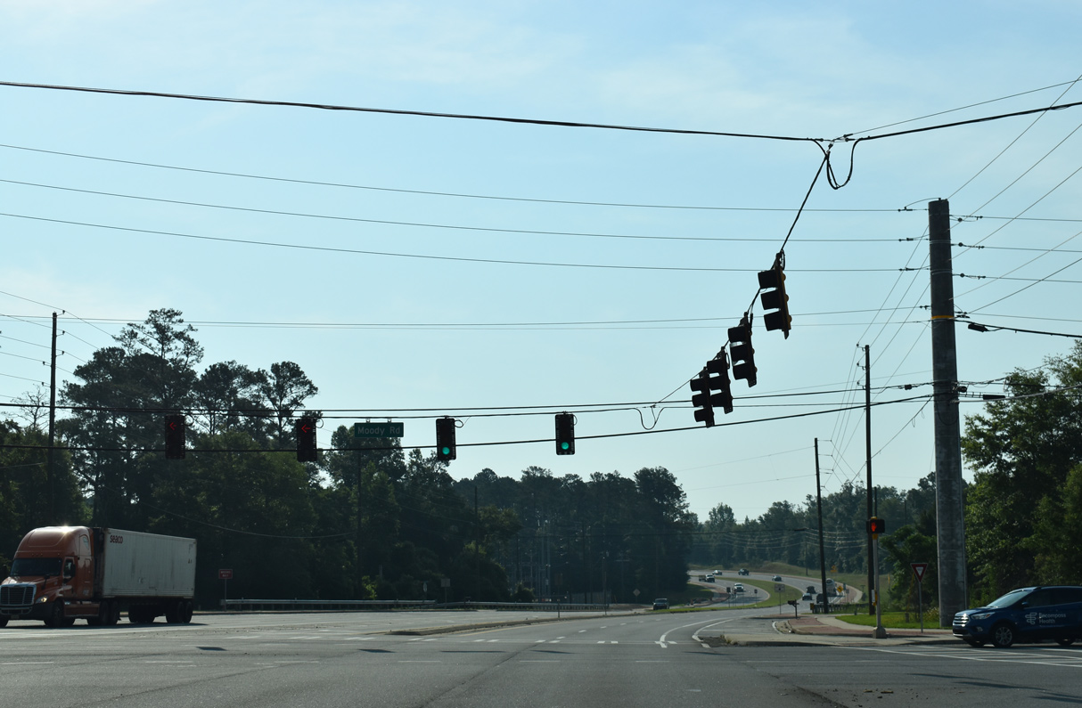
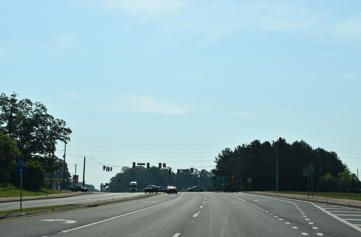
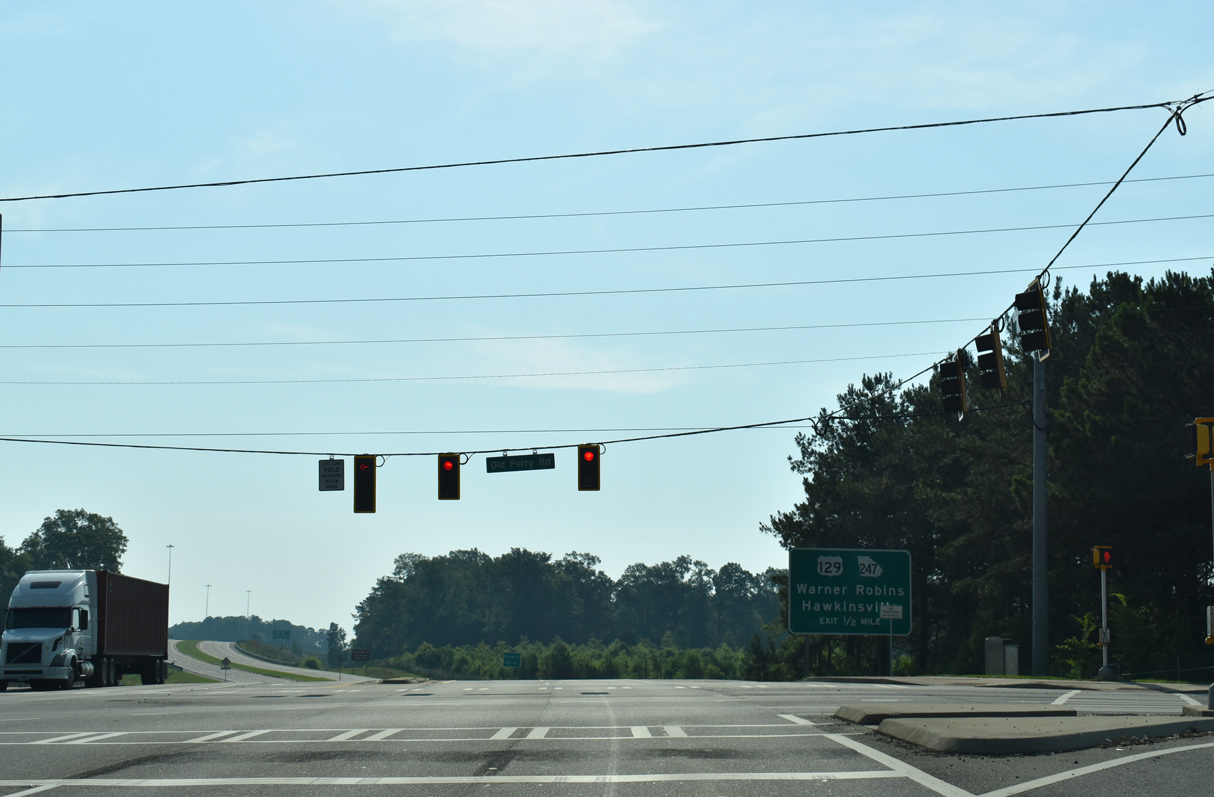
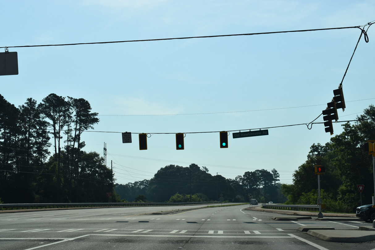
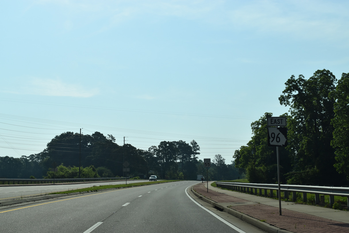
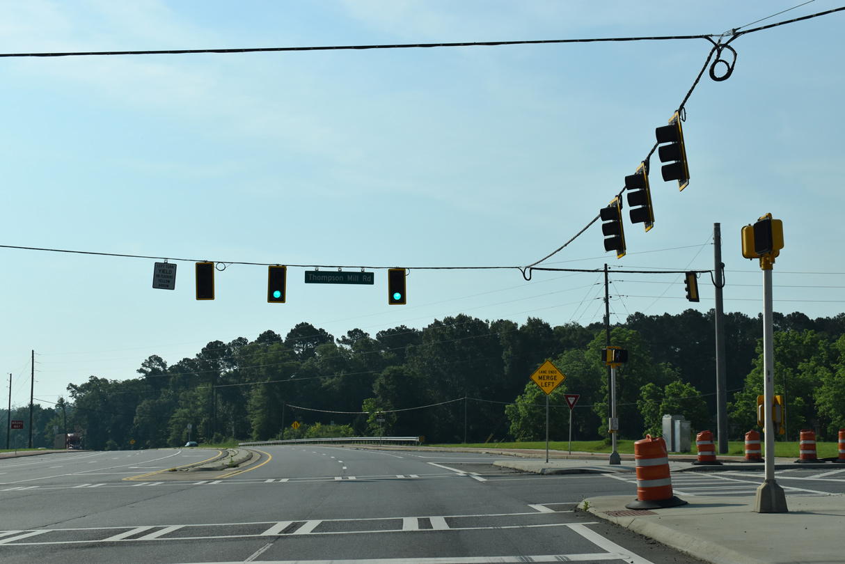
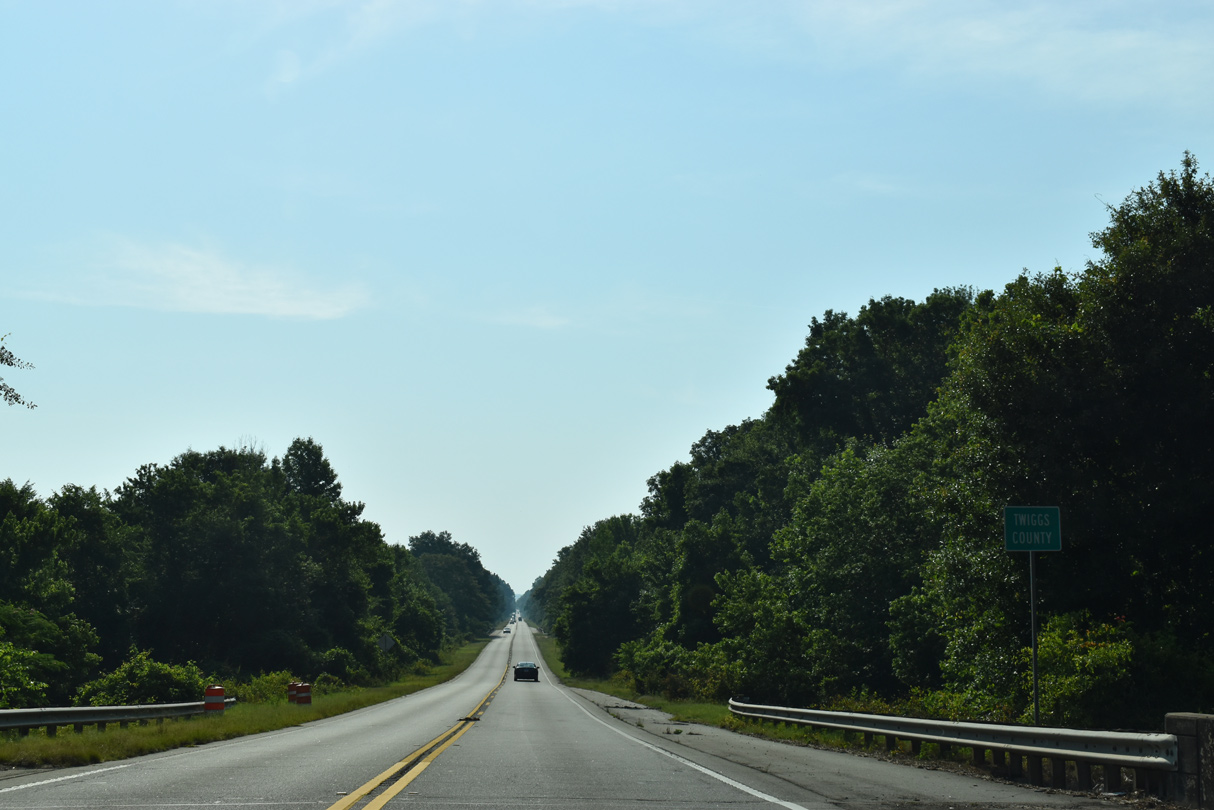
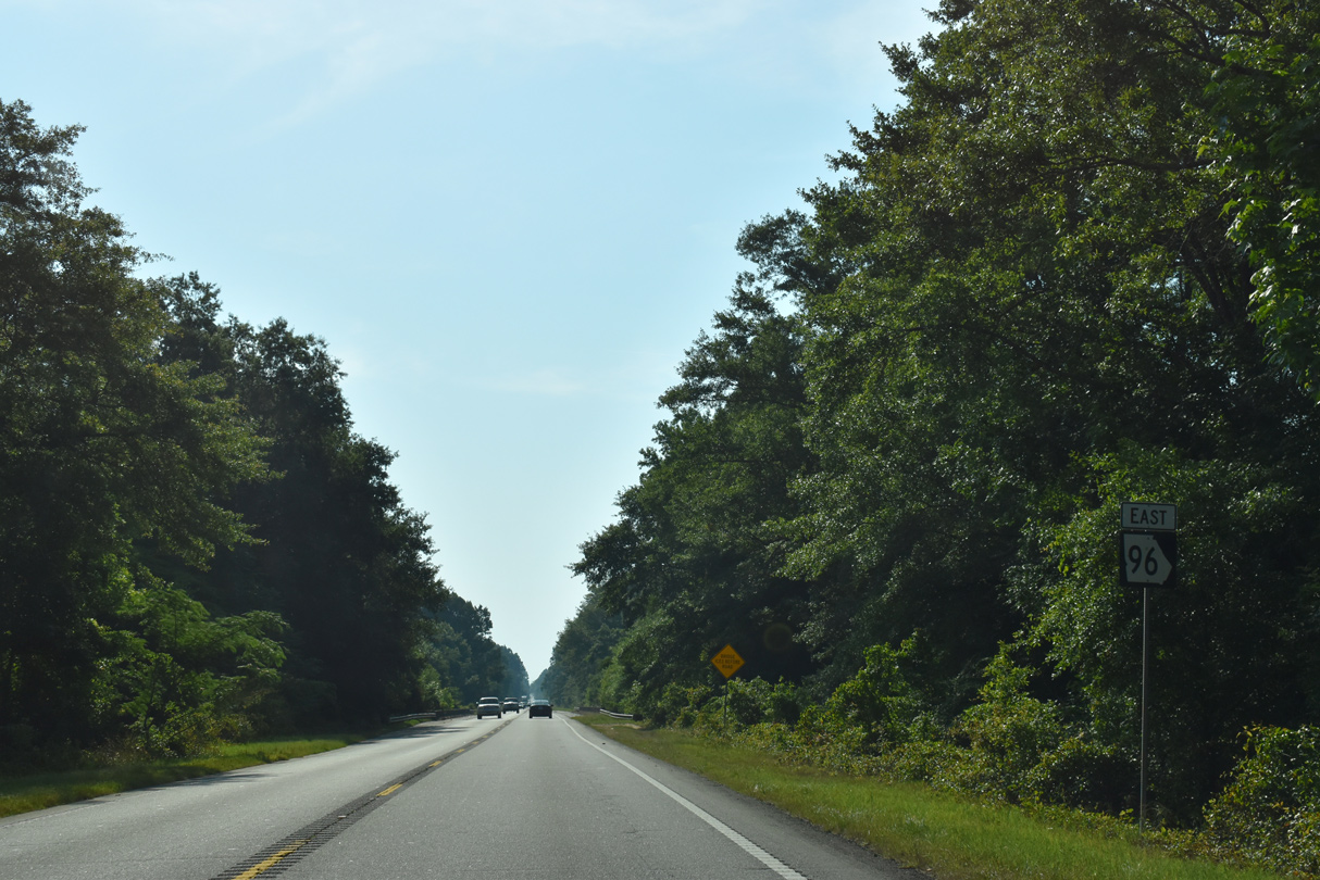
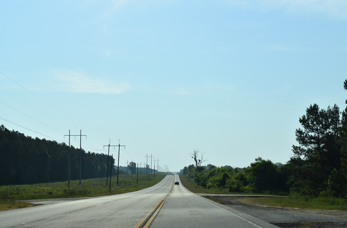
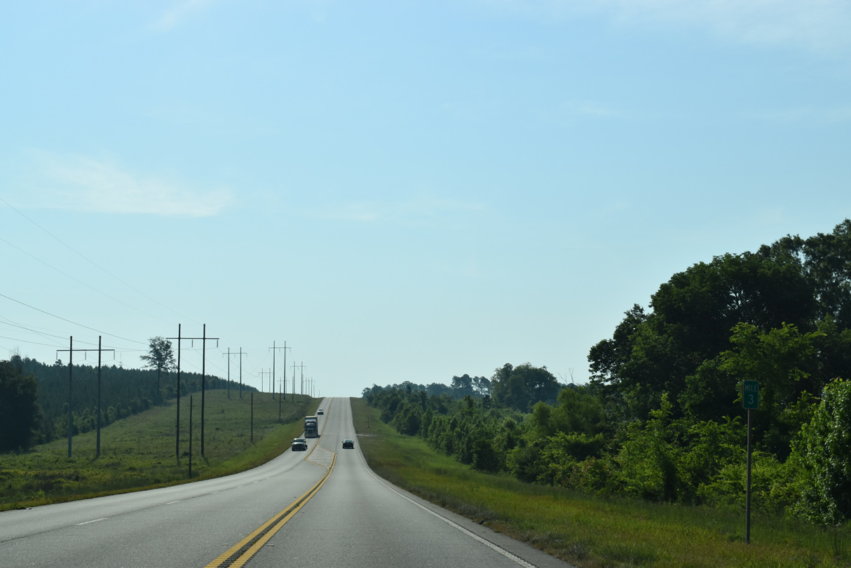
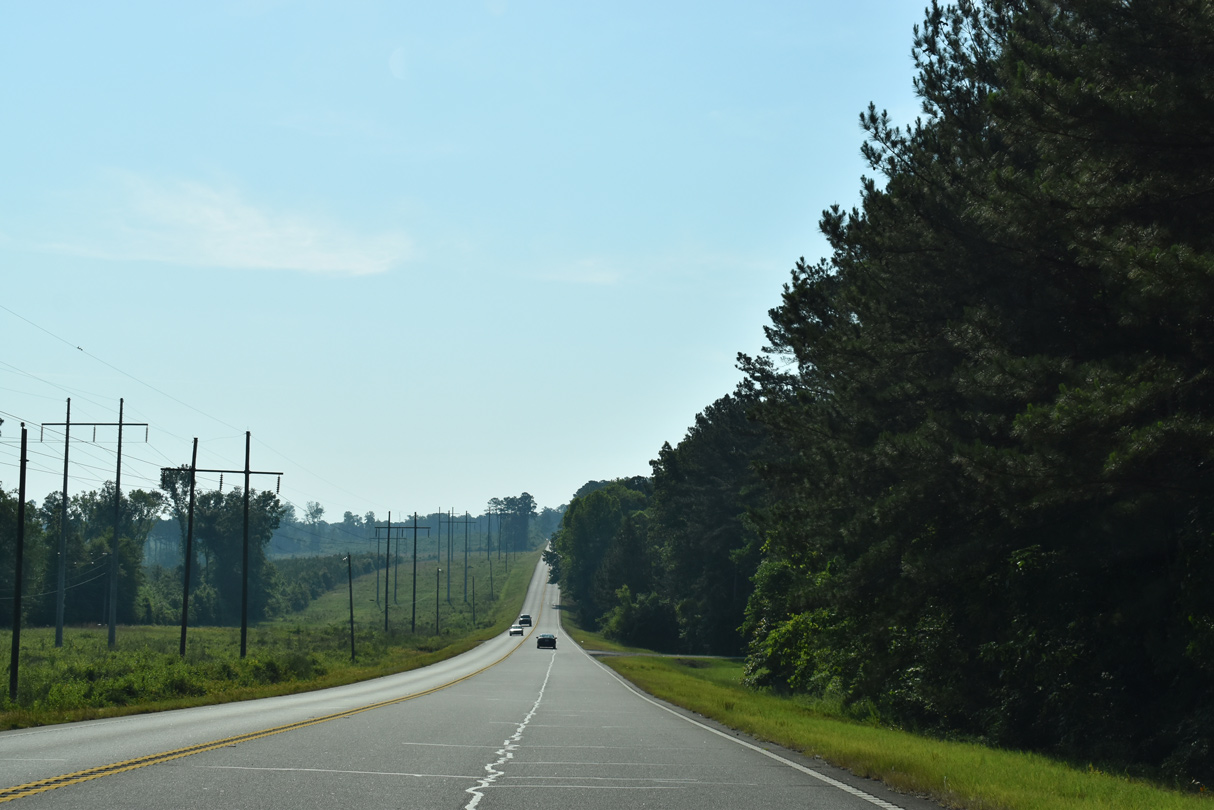
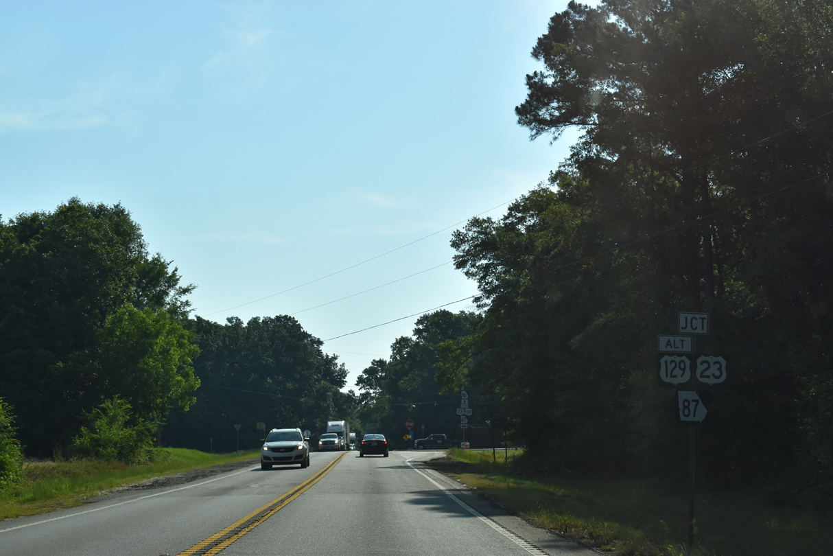
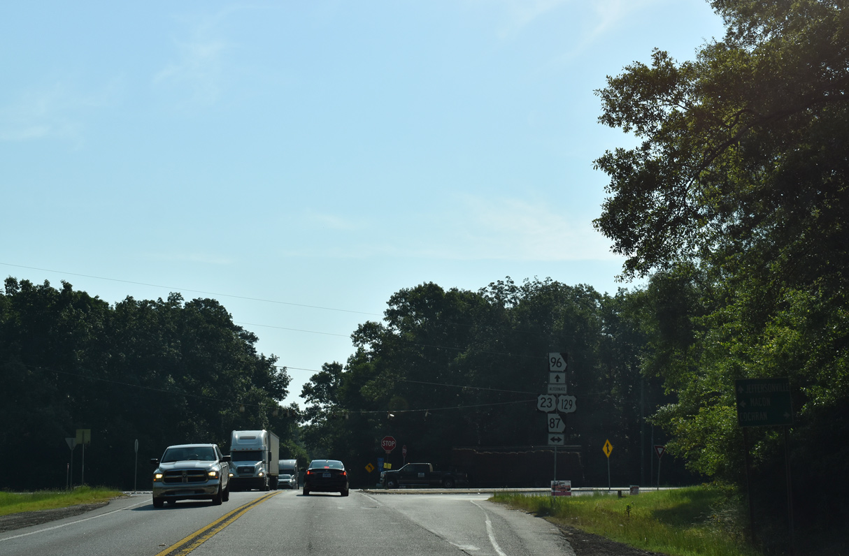
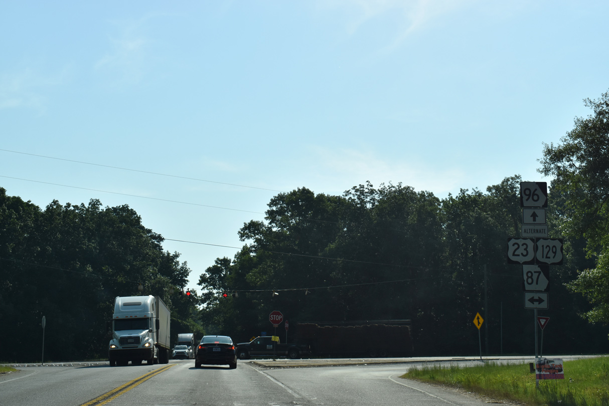
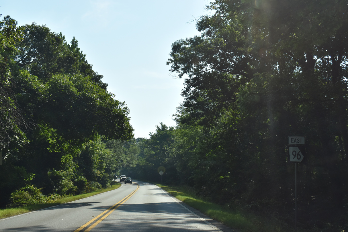
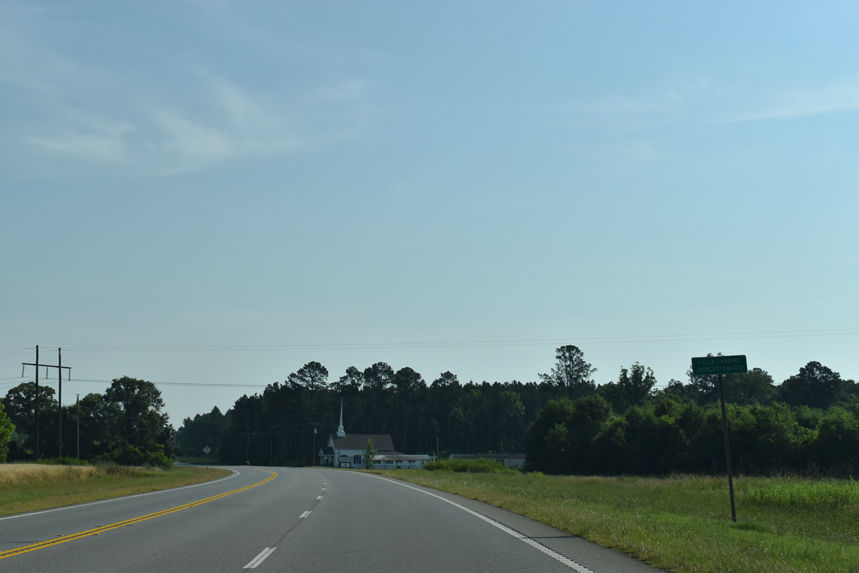
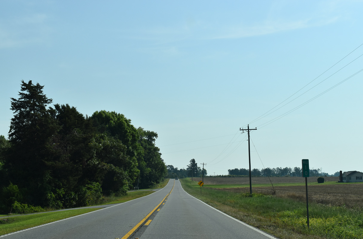
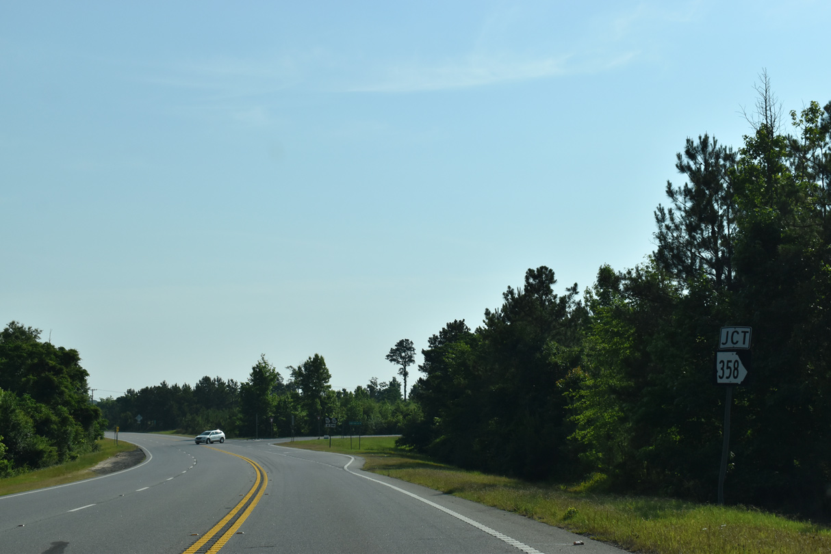
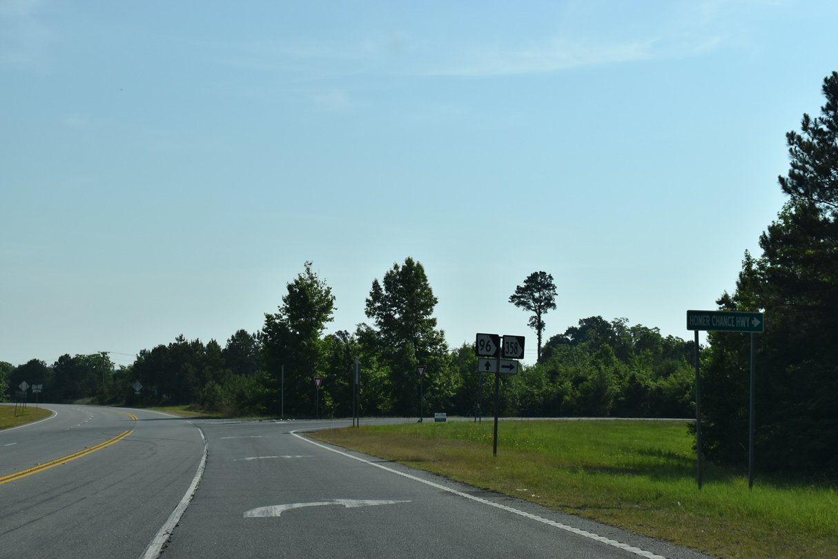
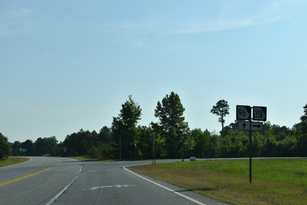
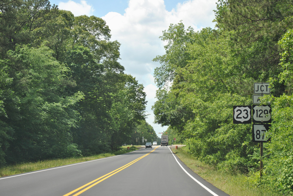
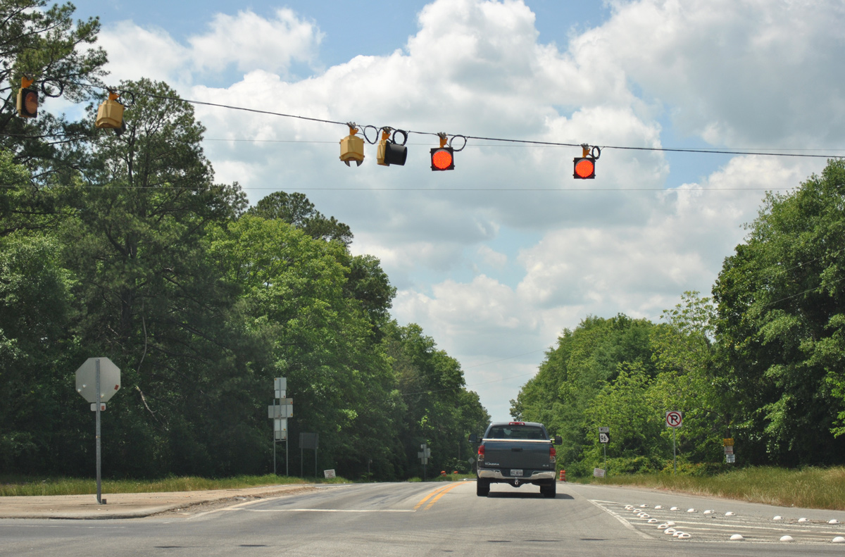
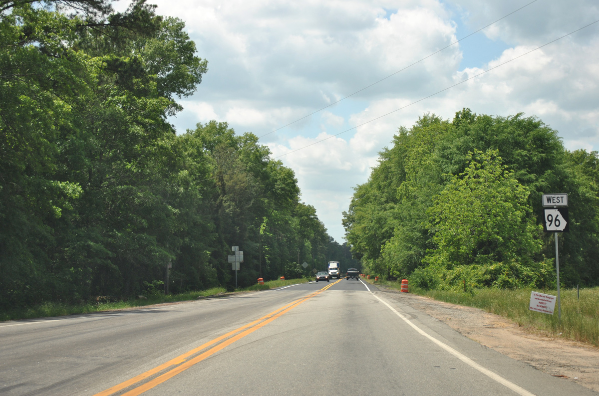
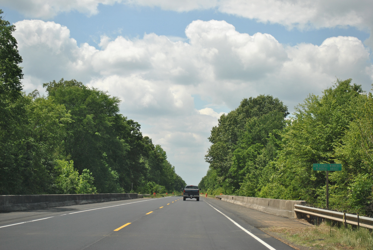
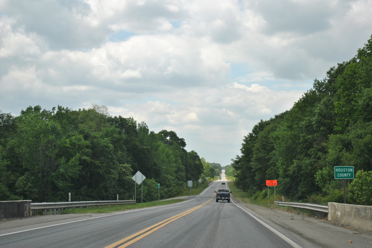
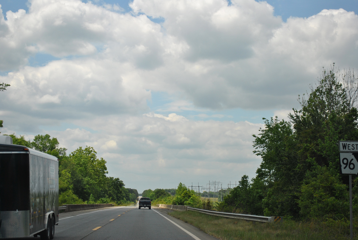
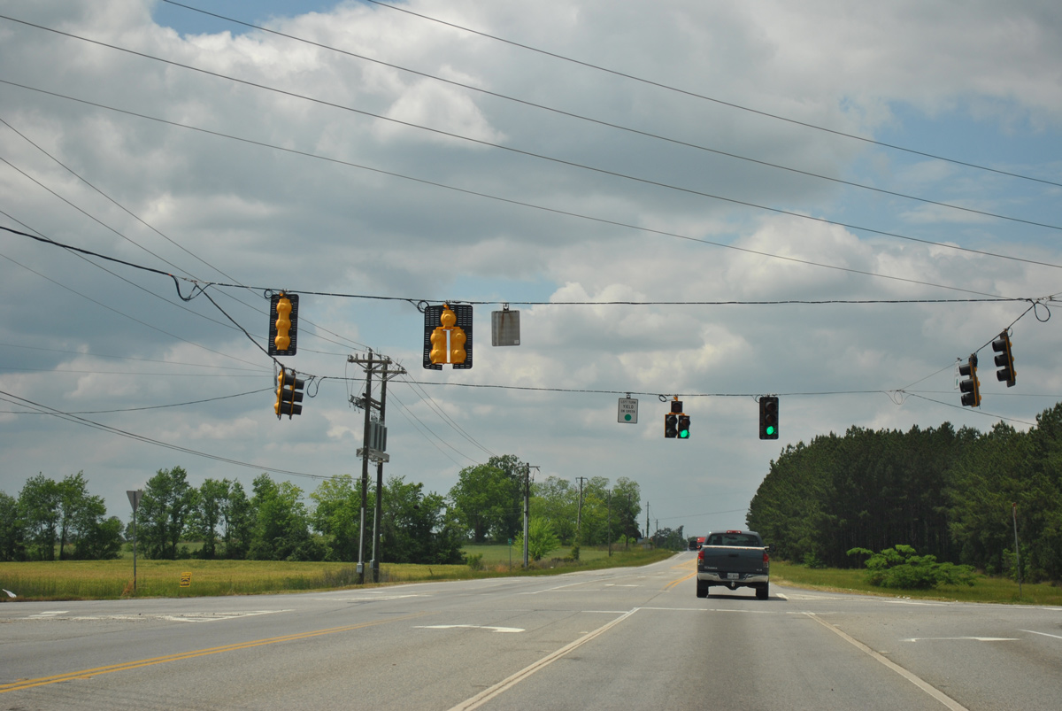
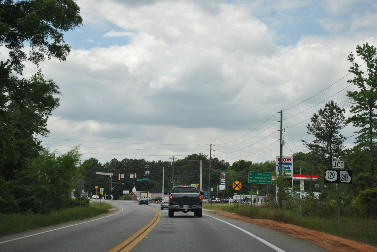
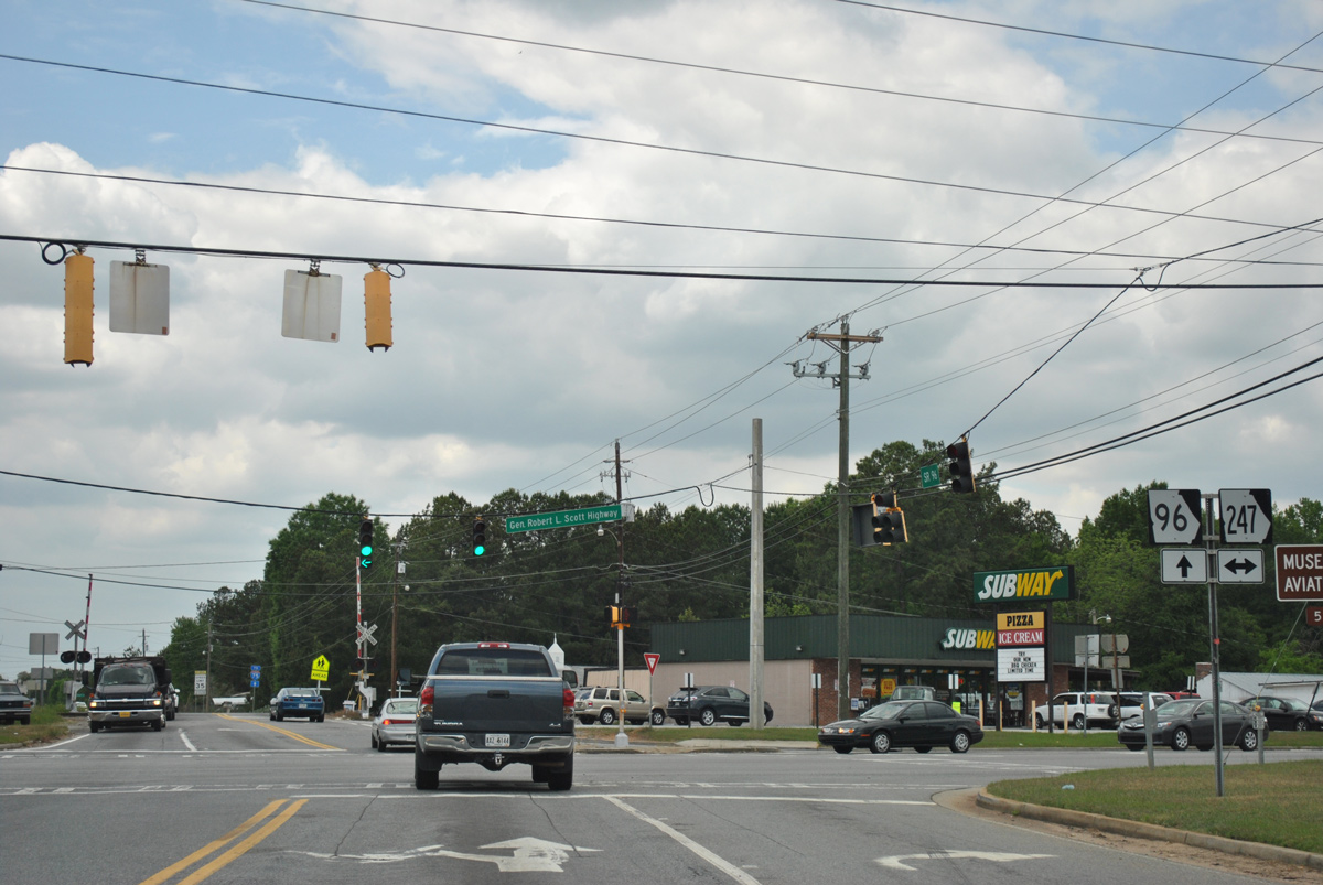
Reducing to two lanes, SR 96 bee lines east from Bonaire across the Ocmulgee River and Twiggs County line. The state route meets U.S. 23/SR 87 near Tarversville, where it turns northeast to SR 358 and Interstate 16. SR 96 joins the freeway with the county seat of Jeffersonville, where it combines with U.S. 80/SR 19 for 0.19 miles. The eastern leg of SR 96 extends 13.14 miles from Church and Main Streets in Jeffersonville to U.S. 441/SR 29.
 East
East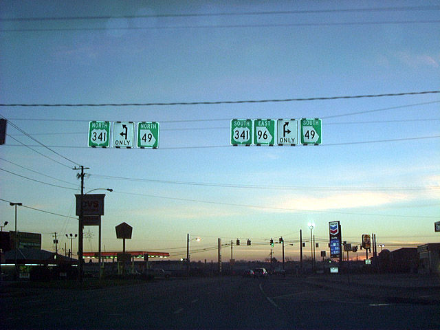
12/15/01
05/25/21
05/25/21
05/25/21
05/25/21
05/25/21
05/25/21
05/25/21
05/25/21
05/25/21
05/25/21
05/25/21
05/25/21
05/25/21
05/25/21
05/25/21
05/25/21
05/25/21
05/25/21
05/25/21
05/25/21
05/25/21
05/25/21
05/25/21
05/25/21
05/25/21

05/25/21
05/25/21
05/25/21
05/25/21
05/25/21
05/25/21
05/25/21
West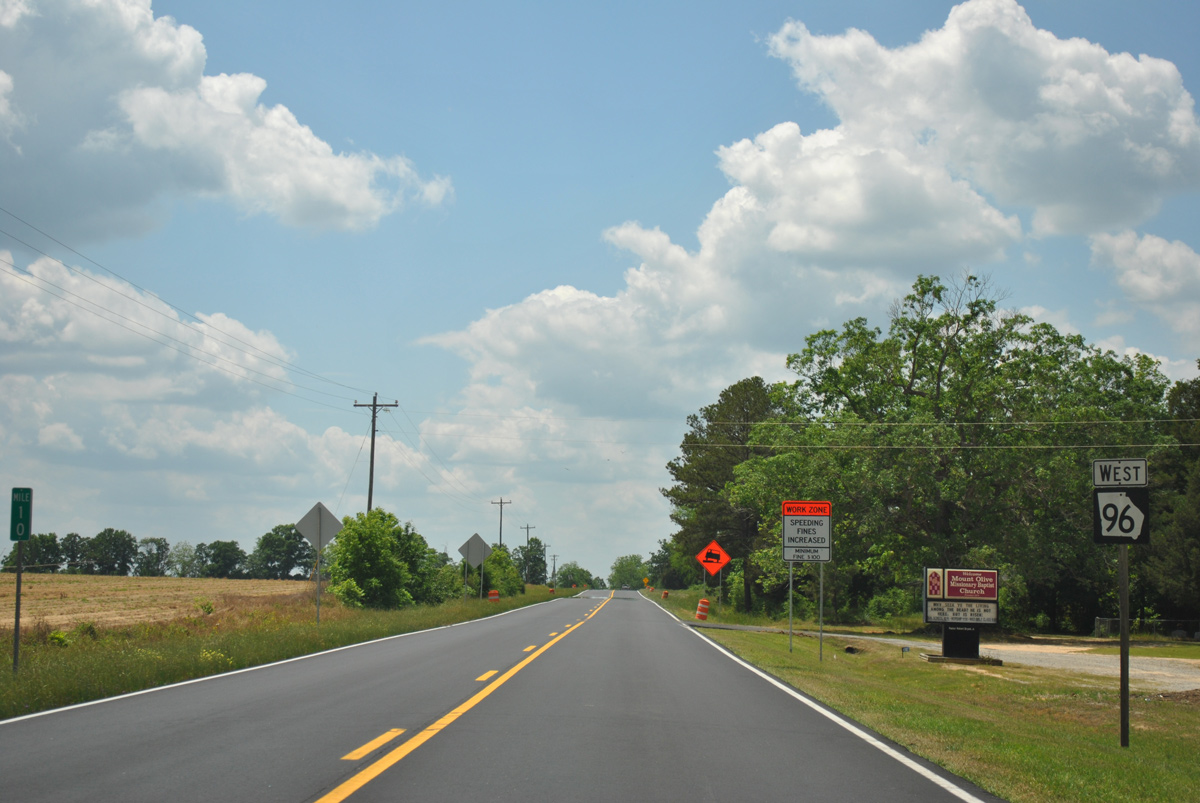
04/16/12
04/16/12
04/16/12
04/16/12
04/16/12
04/16/12
04/16/12
04/16/12
04/16/12
04/16/12
Photo Credits:
- Alex Nitzman: 12/15/01
- Brent Ivy: 05/25/21
- ABRoads: 04/16/12
Connect with:
Page Updated Wednesday March 23, 2022.