
South - SR 144 to SR 15


 South
South  West
West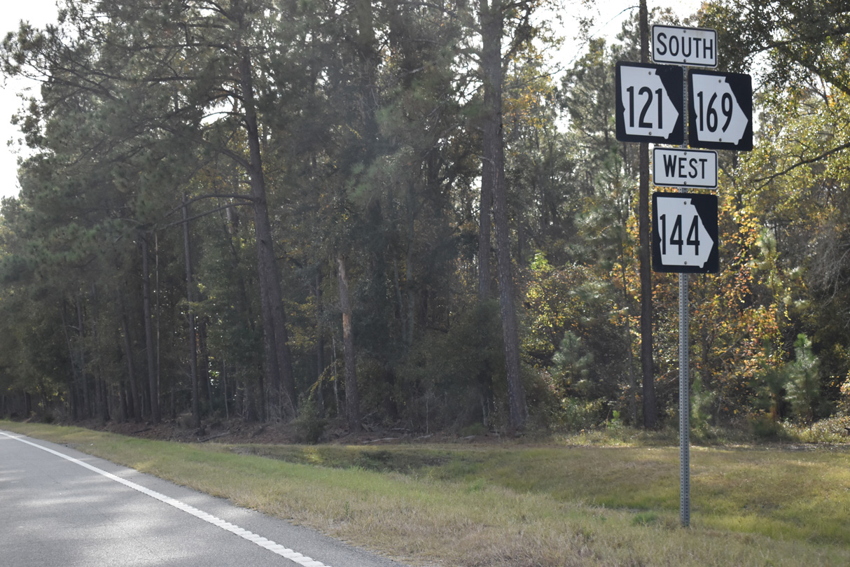
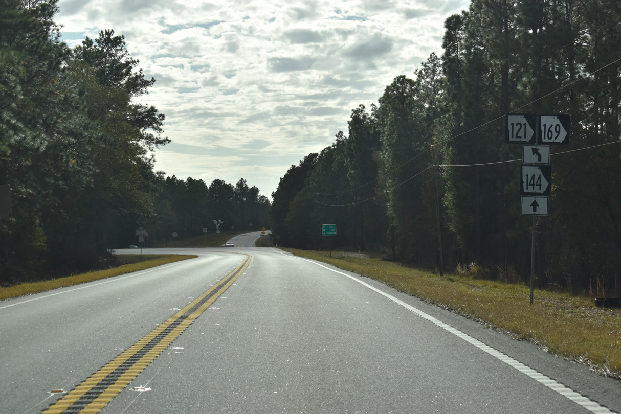
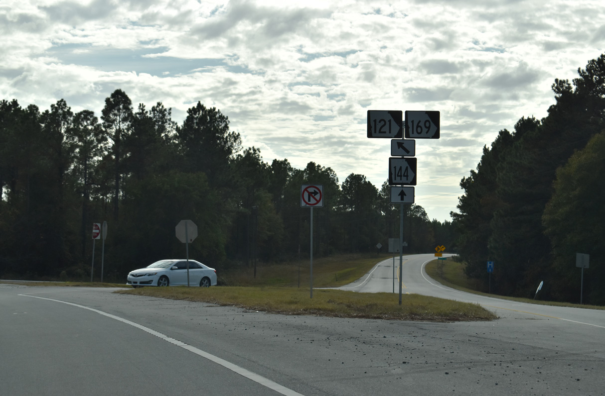
SR 144 west combines with SR 121/169 south at a wye intersection preceding this shield assembly by Rinaldo Thompson Road.
11/21/21
11/21/21

11/21/21
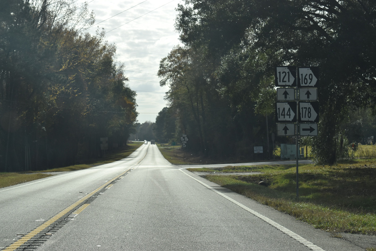
SR 178 constitutes a 29.42 mile long highway north from SR 121/144/169 to U.S. 1 in the Toombs County seat of Lyons.
11/21/21
11/21/21
11/21/21
11/21/21
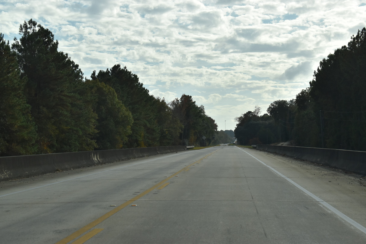
A flood relief bridge for the Altamaha River precedes the Appling County line along SR 121/144/169 south.
11/21/21
11/21/21
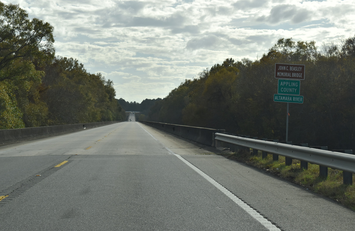
The Altamaha River marks the Tattnall and Appling County line across SR 121/144/169.
11/21/21
11/21/21

11/21/21
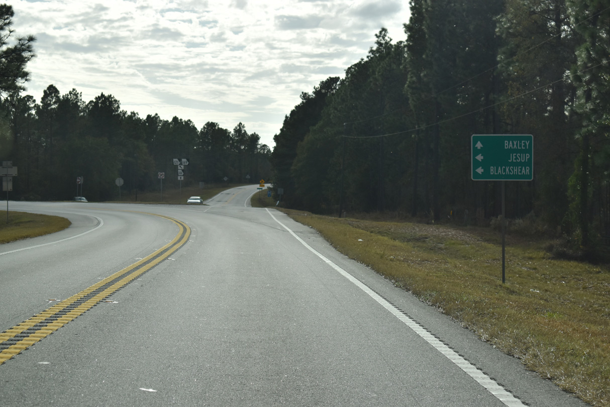
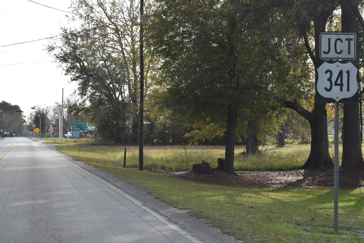
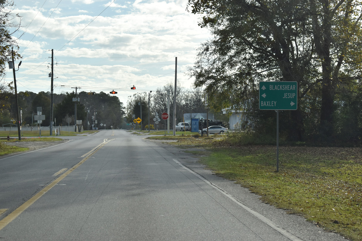
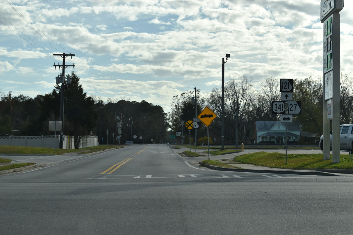
SR 144 branches southwest from SR 121/169 to U.S. 341 along the east side of Baxley.
11/21/21
11/21/21
11/21/21
11/21/21
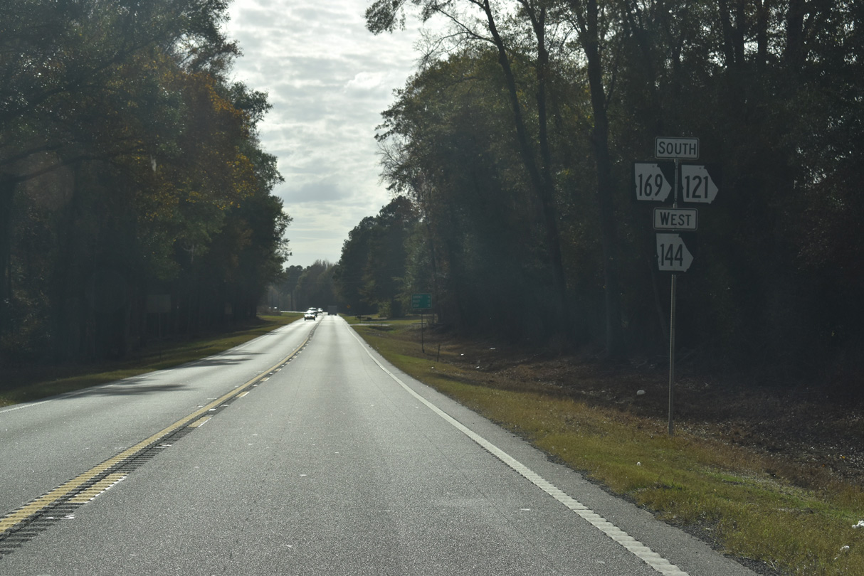
South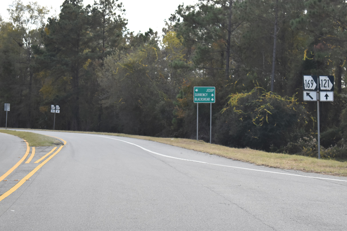
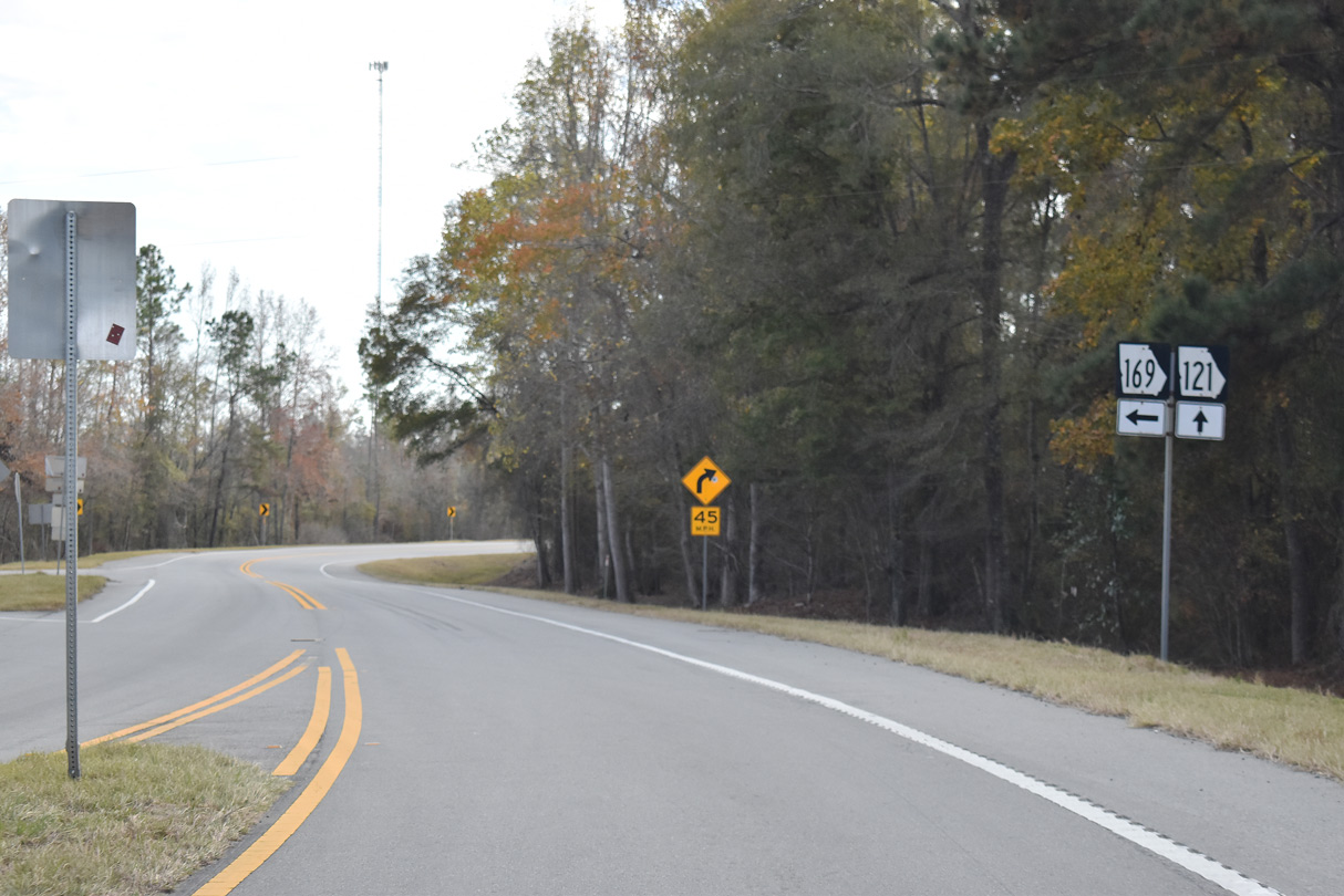
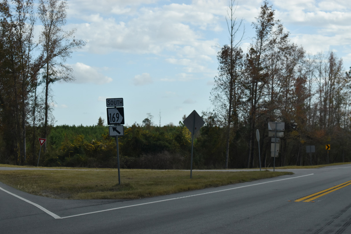
SR 169 parts ways with SR 121 (Woodpecker Trail) to the immediate south of the separation with SR 144 west.
11/21/21
11/21/21
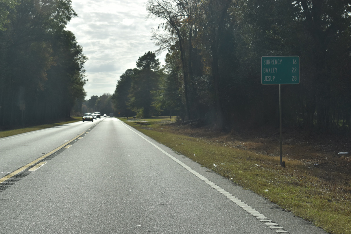
SR 169 continues 21.31 miles southeast from SR 121 to U.S. 341/SR 27 in the city of Jesup.
11/21/21
11/21/21
11/21/21
South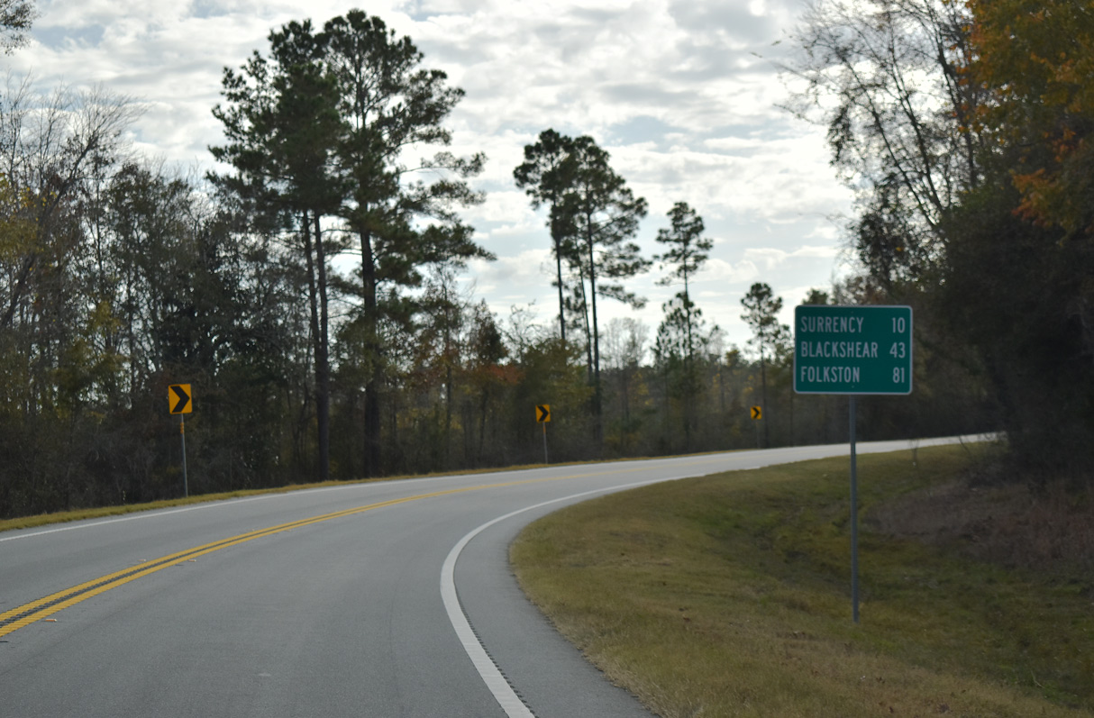
11/21/21
11/21/21
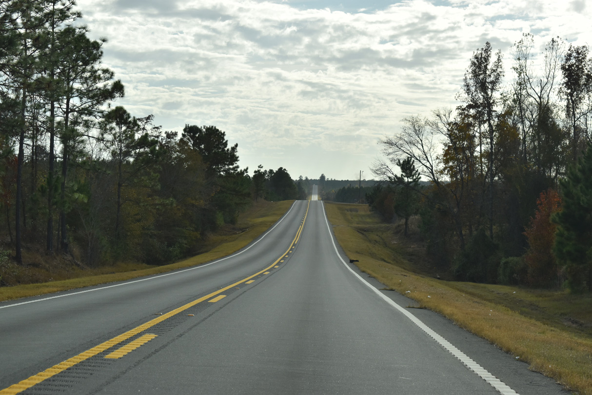
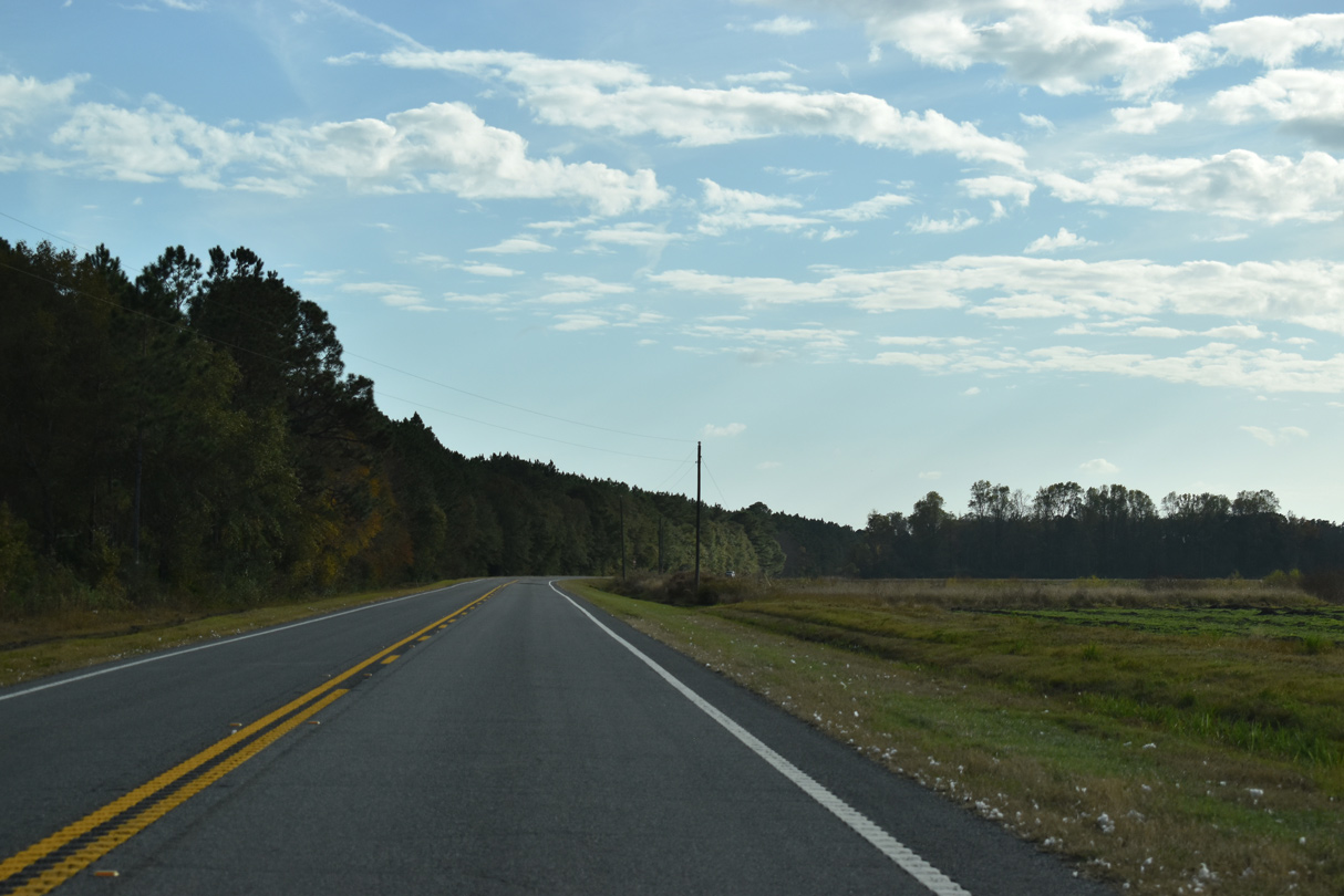
SR 121 continues southwest from the five point intersection with Pearce Road, Sumner Road and D.M. Tillman Road to mile marker 22 and Fivemile Creek.
11/21/21
11/21/21
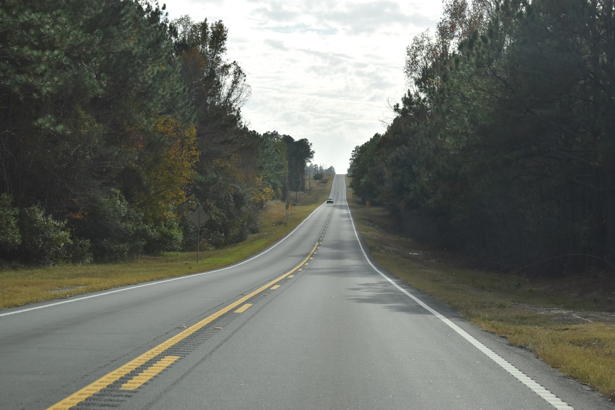
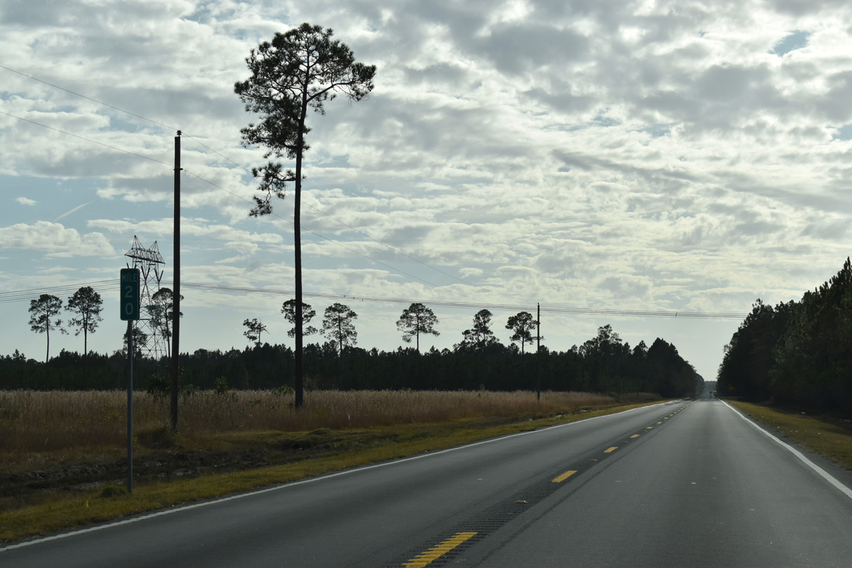
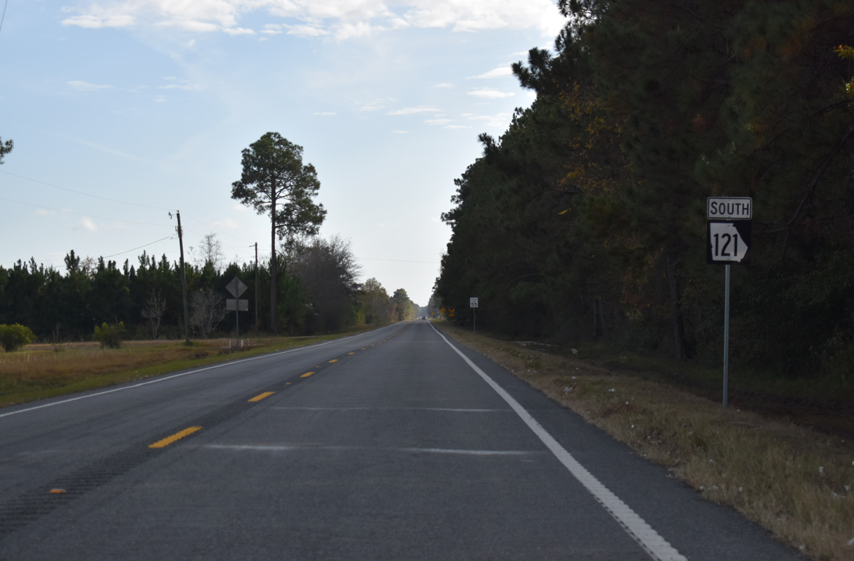
Reassurance shield posted southbound along SR 121 between Malcolm Tillman Road and mile marker 21 at Daniels Road.
11/21/21
11/21/21
11/21/21
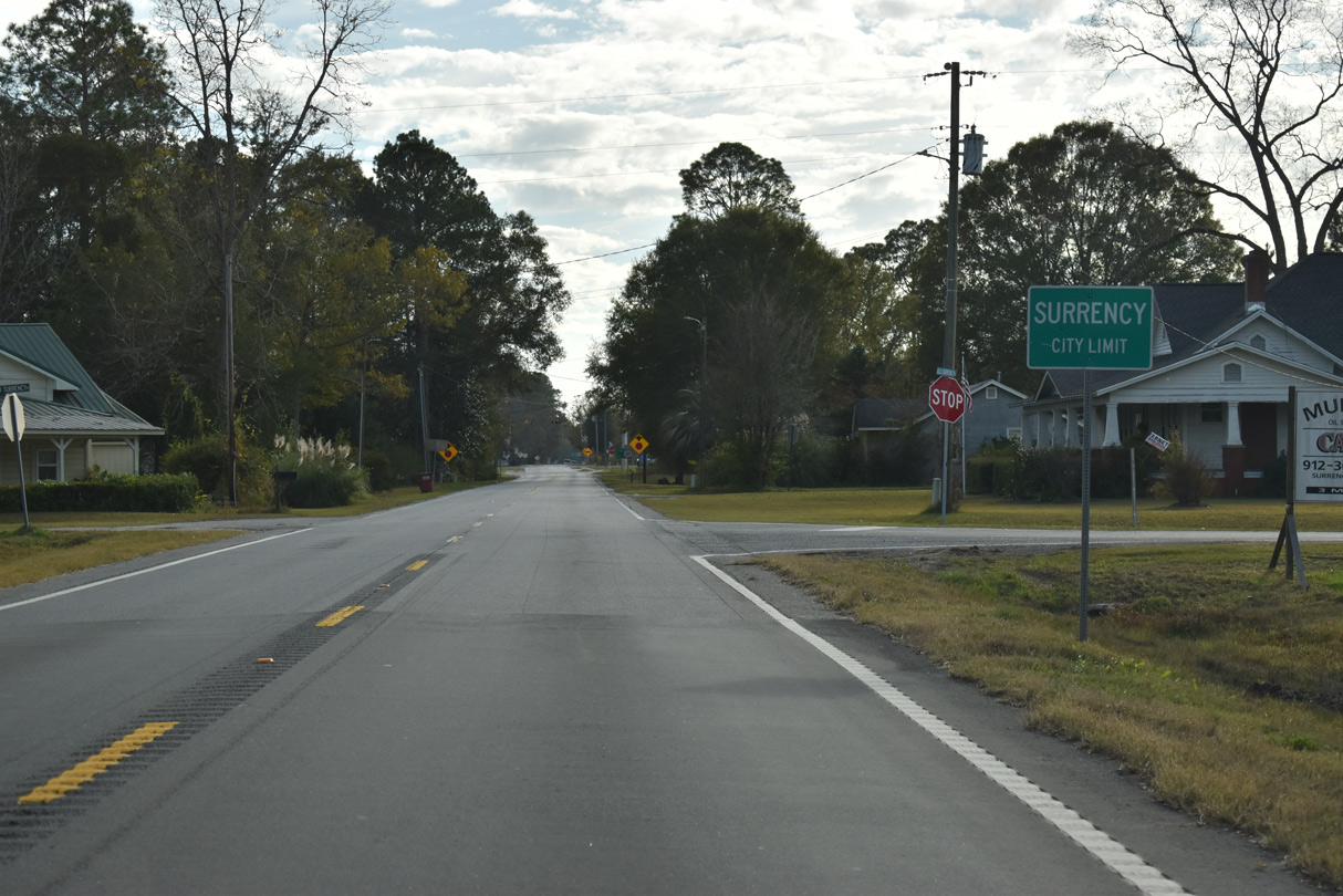
SR 121 enters the town of Surrency south along Still Street.
11/21/21
11/21/21
11/21/21
11/21/21
11/21/21
11/21/21

11/21/21
11/21/21
11/21/21
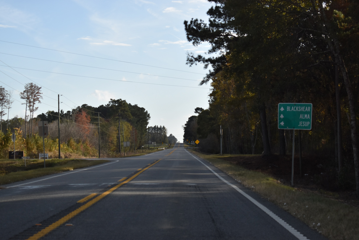
SR 203 runs 15.26 miles west from U.S. 84/SR 38 near Jesup to join SR 121 south for 0.27 miles.
11/21/21
11/21/21
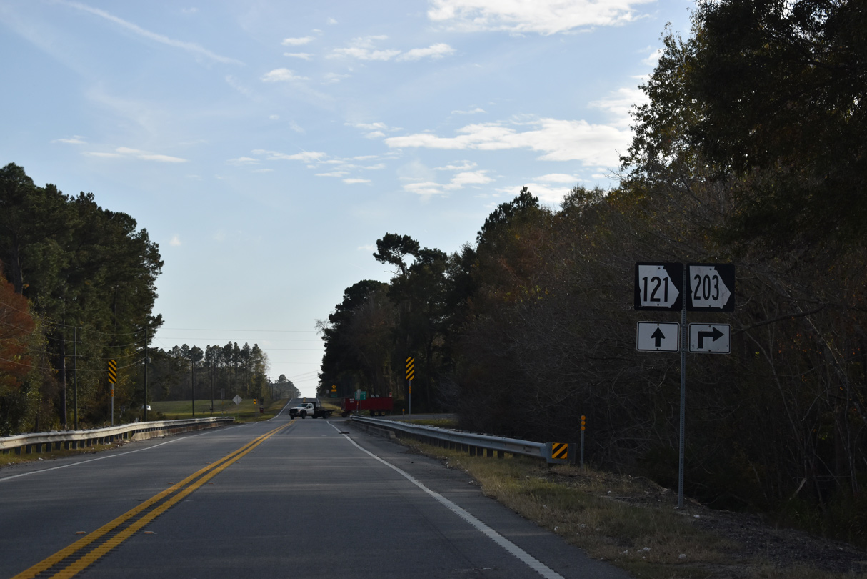
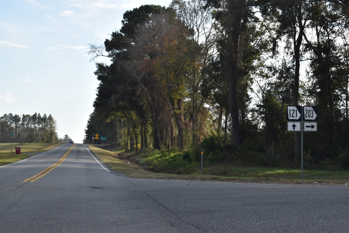
SR 121/203 combine south across Colemans Creek.
11/21/21
11/21/21
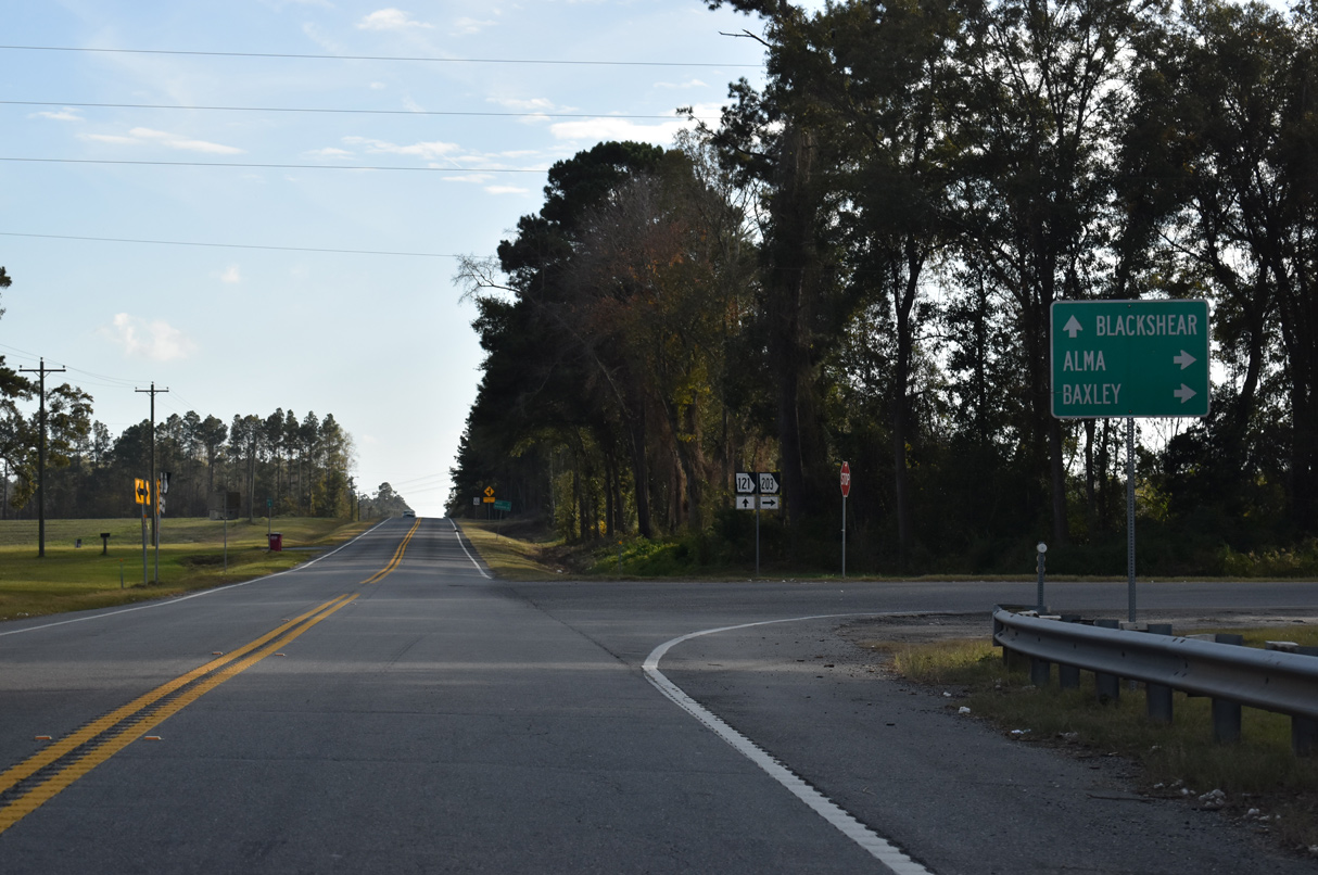
SR 203 continues 11.68 miles west from SR 121 to SR 32, east of Alma. SR 203 also provides a cutoff for SR 15 north to Baxley.
11/21/21
11/21/21
11/21/21
11/21/21
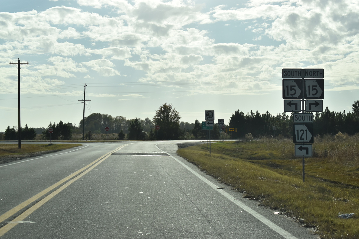
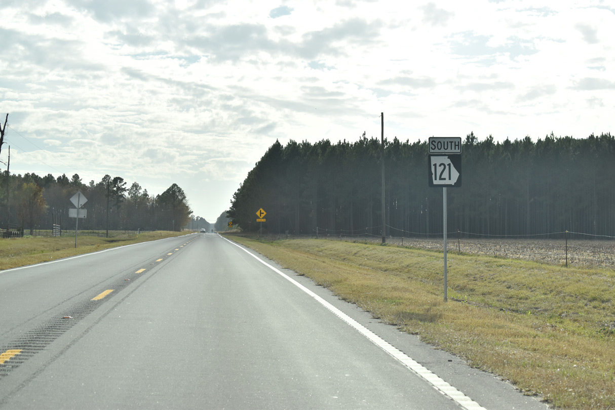
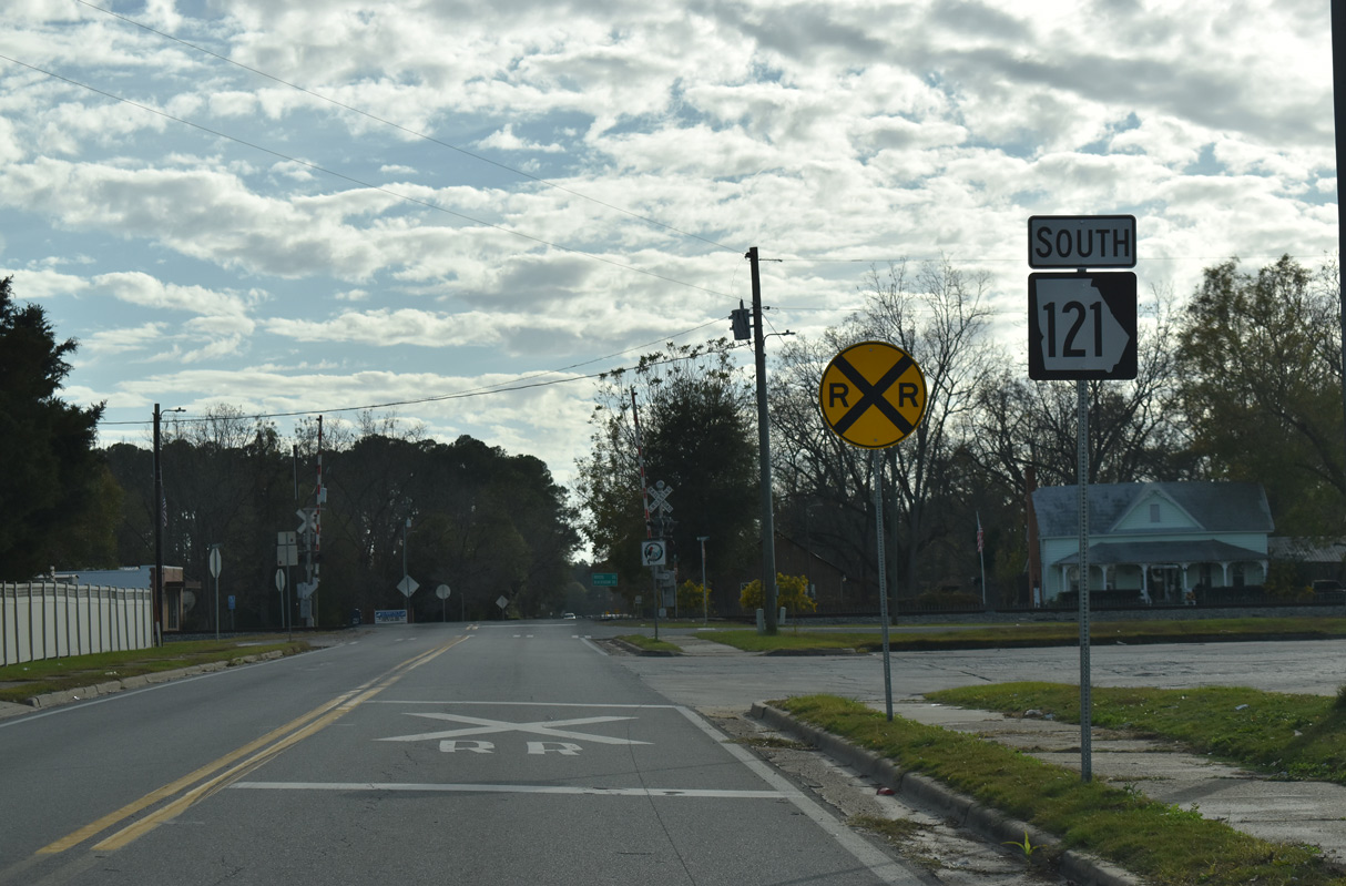
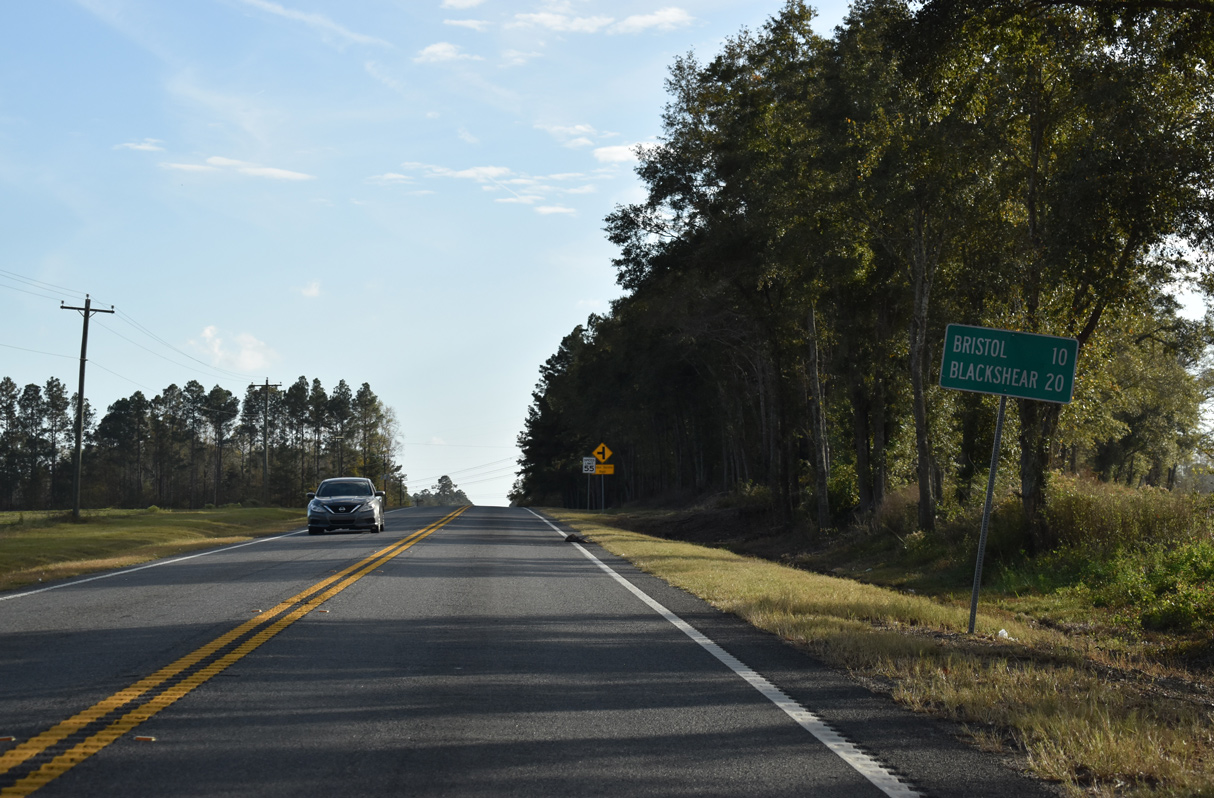
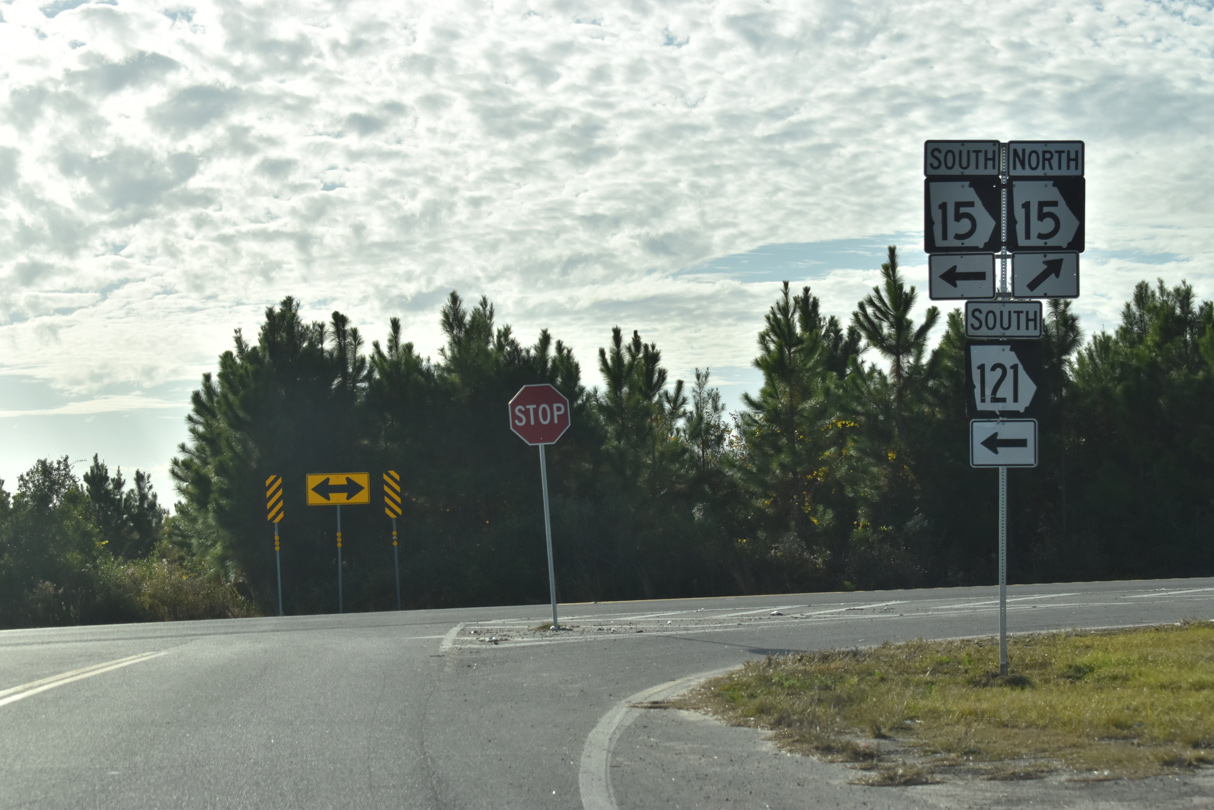
SR 121 (Woodpecker Trail) south next converges with SR 15.
11/21/21
11/21/21
11/21/21
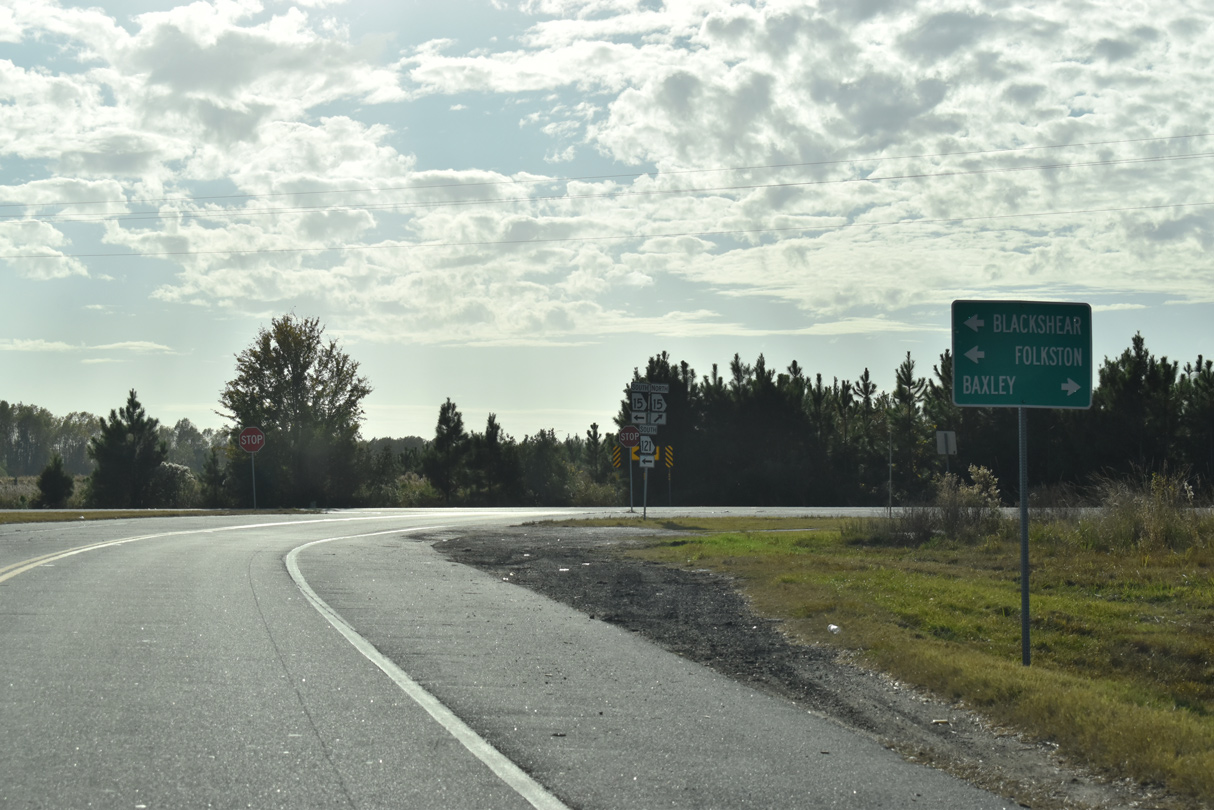
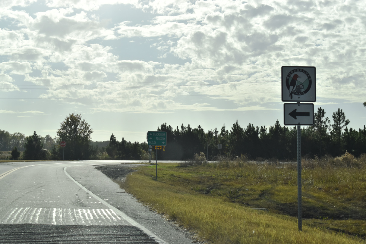
SR 15/121 overlap southeast to Blackshear and Folkston.
11/21/21
11/21/21
11/21/21
Photo Credits:
- ABRoads: 11/21/21
Connect with:
Page Updated Wednesday March 16, 2022.