
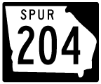
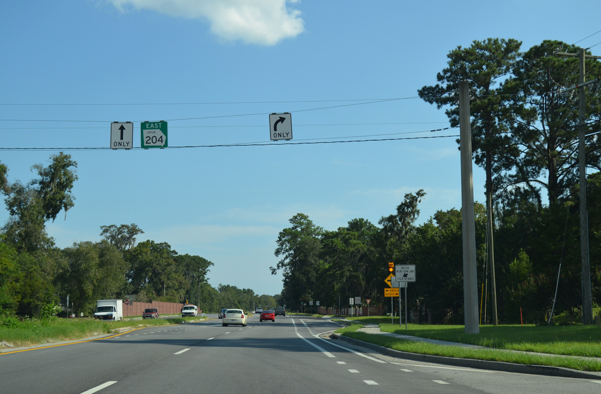
Former State Route 204 Spur East
Former  East
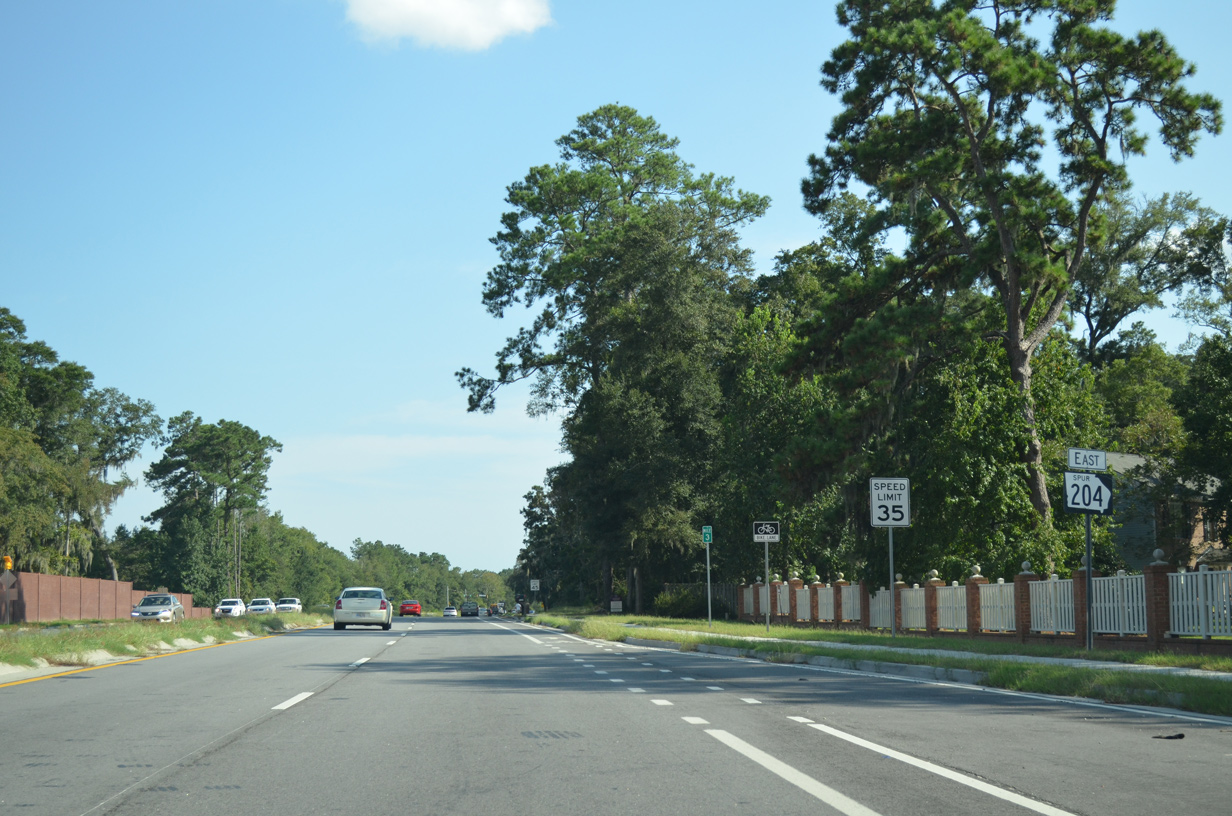
East
East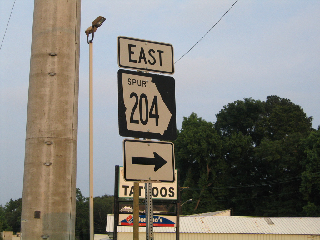
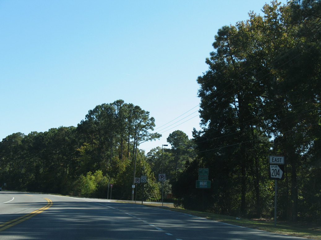
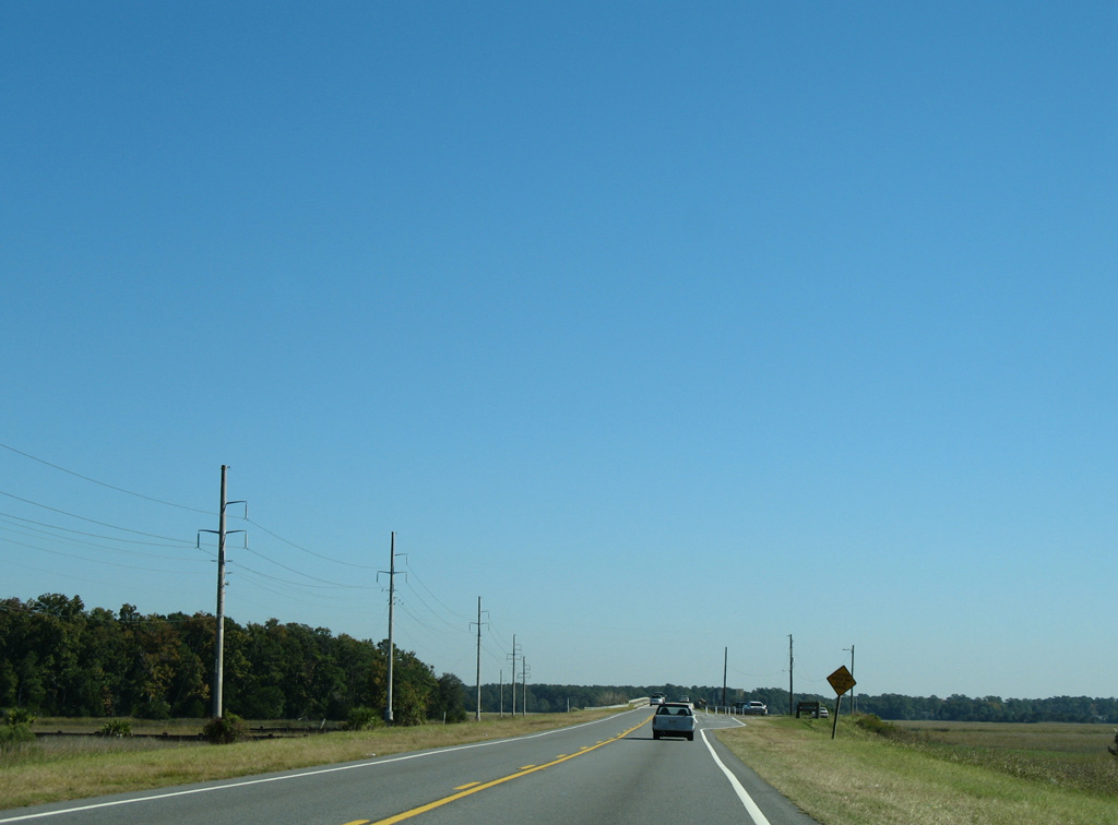
Montgomery Cross Road east at Waters Avenue, where SR 204SP formerly turned south from Savannah toward Skidaway Island.
05/29/05
05/29/05
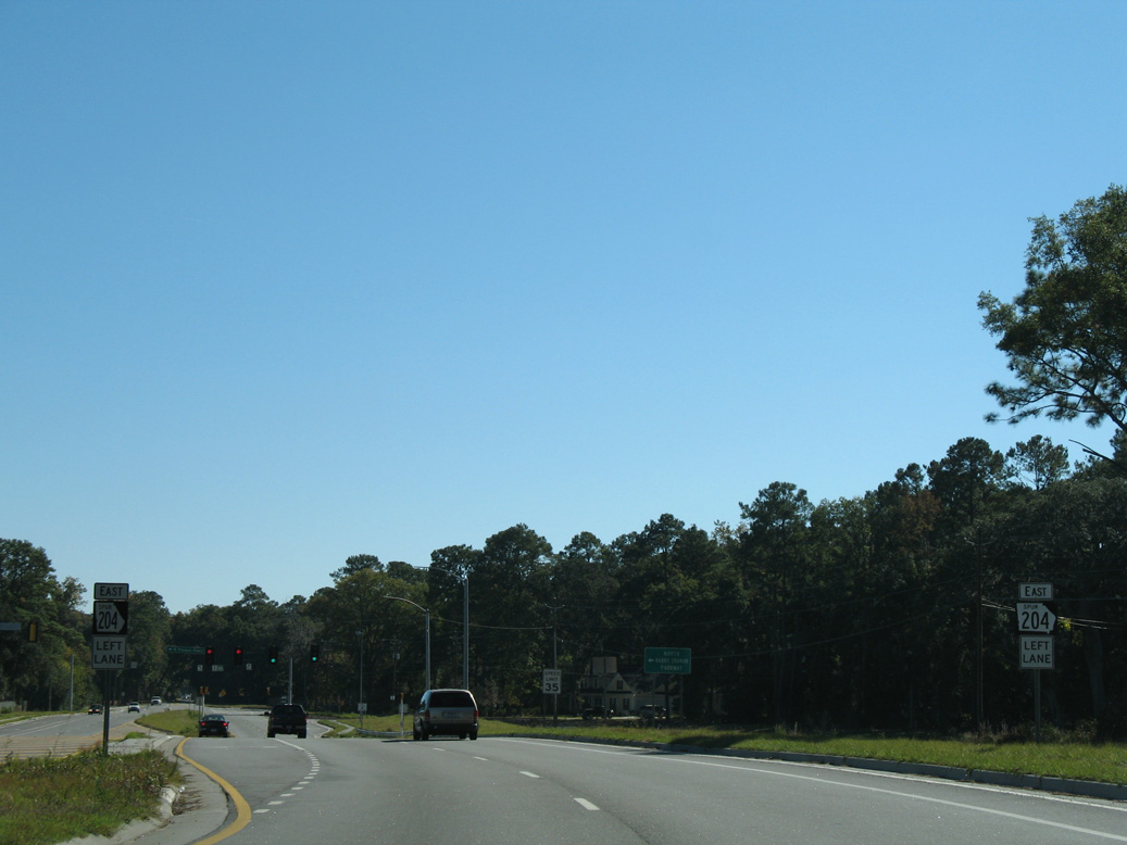
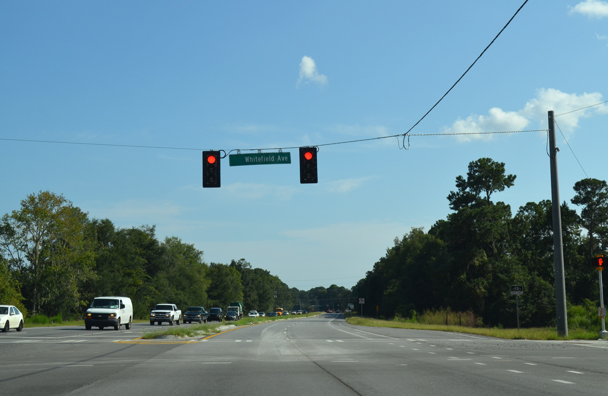
Truman Parkway opened north from Whitefield Avenue to Montgomery Crossroad on September 22, 2005. Work on the freeway west to SR 204 commenced in March 2010.
11/13/06
11/13/06
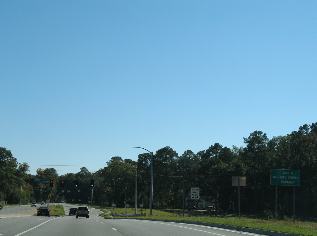
The diamond interchange with Truman Parkway was completed by March 2014, when the expressway west opened to traffic.
11/13/06
11/13/06
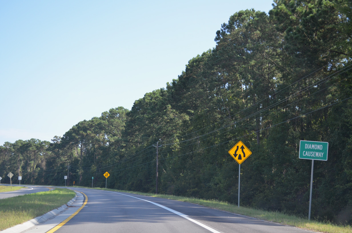
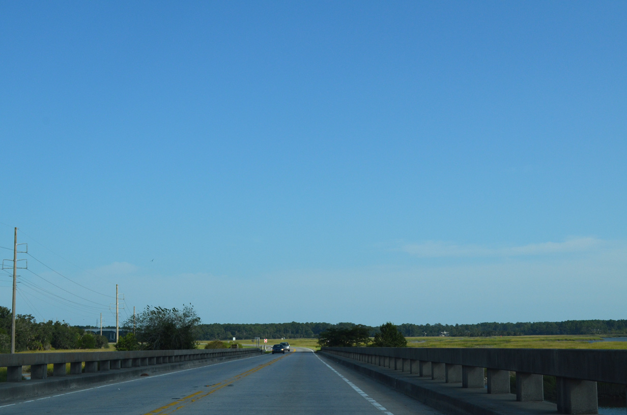
SR 204SP (Whitefield Avenue) was expanded to four lanes south from Truman Parkway to Diamond Causeway by 2014.
09/22/14
09/22/14
A confirming marker was posted by mile marker 3, beyond River Bluff Drive at the Oak Bluff subdivision.
09/22/14
09/22/14
Four lane expansion of SR 204SP removed the ramp for Whitefield Avenue at the separation with Diamond Causeway and replaced it with a signalized intersection.
09/22/14
09/22/14
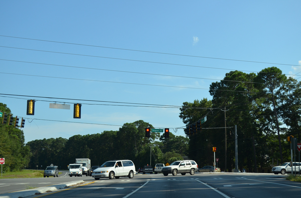
Ferguson Avenue runs south from near Isle of Hope to Montgomery. Traffic lights at Diamond Causeway and Ferguson Avenue replaced a flasher by 1990.
09/22/14
09/22/14
The reassurance marker for SR 204SP east of Ferguson Avenue was removed during four lane expansion of Diamond Causeway.
11/13/06
11/13/06
09/22/14
09/22/14
Pin Point Avenue ties into Diamond Causeway from the Pin Point community.
09/22/14
09/22/14
The Frank O. Downing Fishing Pier parallels Diamond Causeway bridge spanning the Moon River.
11/13/06
11/13/06

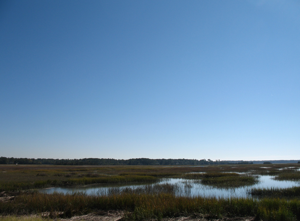
The Moon River flows along the west side of Isle of Hope south around Piegeon Island into the Intracoastal Waterway at Burnside Island.
09/22/14
09/22/14
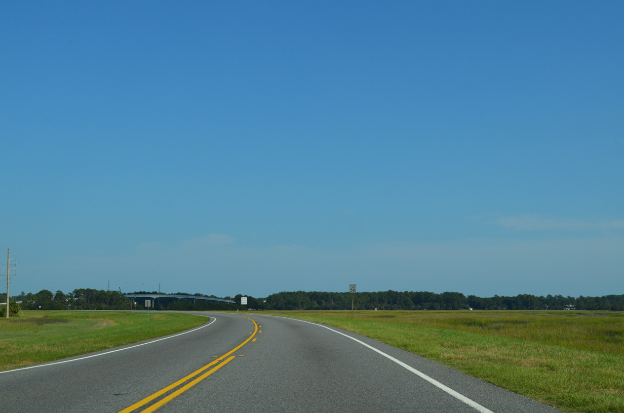
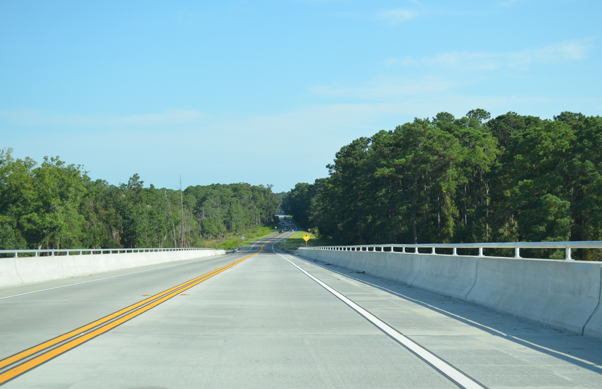
Diamond Causeway traverses marshland north of The Branches waterway.
09/22/14
09/22/14
09/22/14
11/13/06
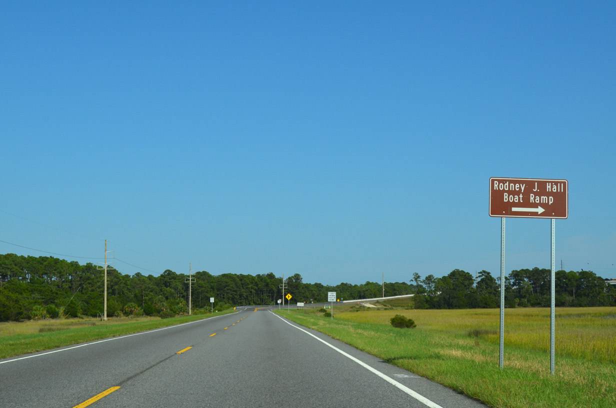
The Rodney J. Hall Boat Ramp and beach lie just south of the high rise span across Skidaway Narrows.
09/22/14
09/22/14
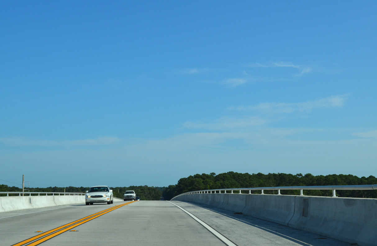
Skidaway Narrows is part of the Intracoastal Waterway south to the Burnside River and north to the Skidaway River and north end of Skidaway Island.
09/22/14
09/22/14
09/22/14
09/22/14
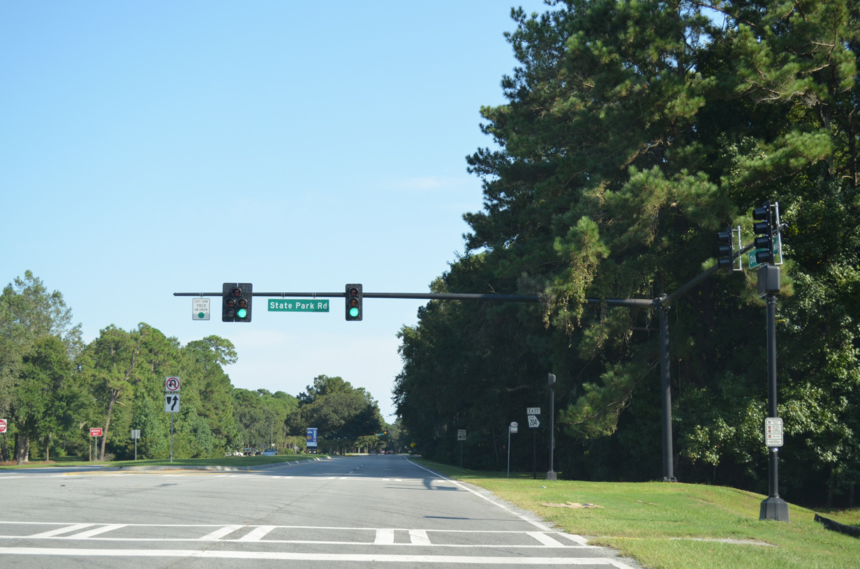
State Park Road stems 0.21 miles north into Skidaway Island State Park. Expansion of Diamond Causeway to four lanes coincided with the addition of traffic lights here by 2012.
09/22/14
09/22/14
The last reassurance marker for SR 204SP appeared east of State Park Road.
11/13/06
11/13/06
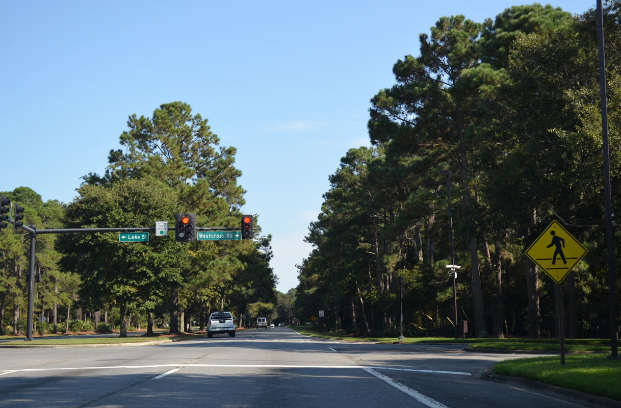
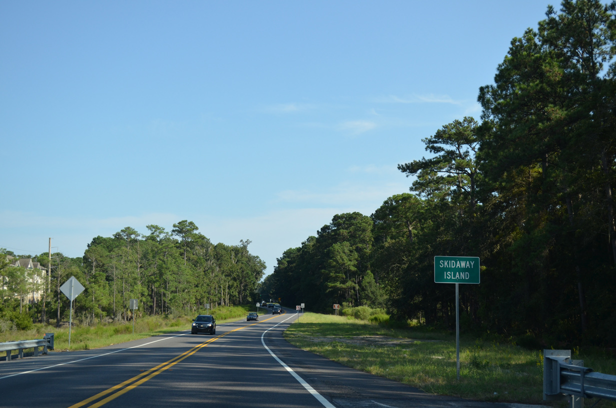
Westcross Road leads south into the Oakridge section of The Landings. Lake Street extends north to The Village on Skidway Island shopping center and Shellwind Drive for the Deer Creek section of The Landings.
09/23/14
09/23/14

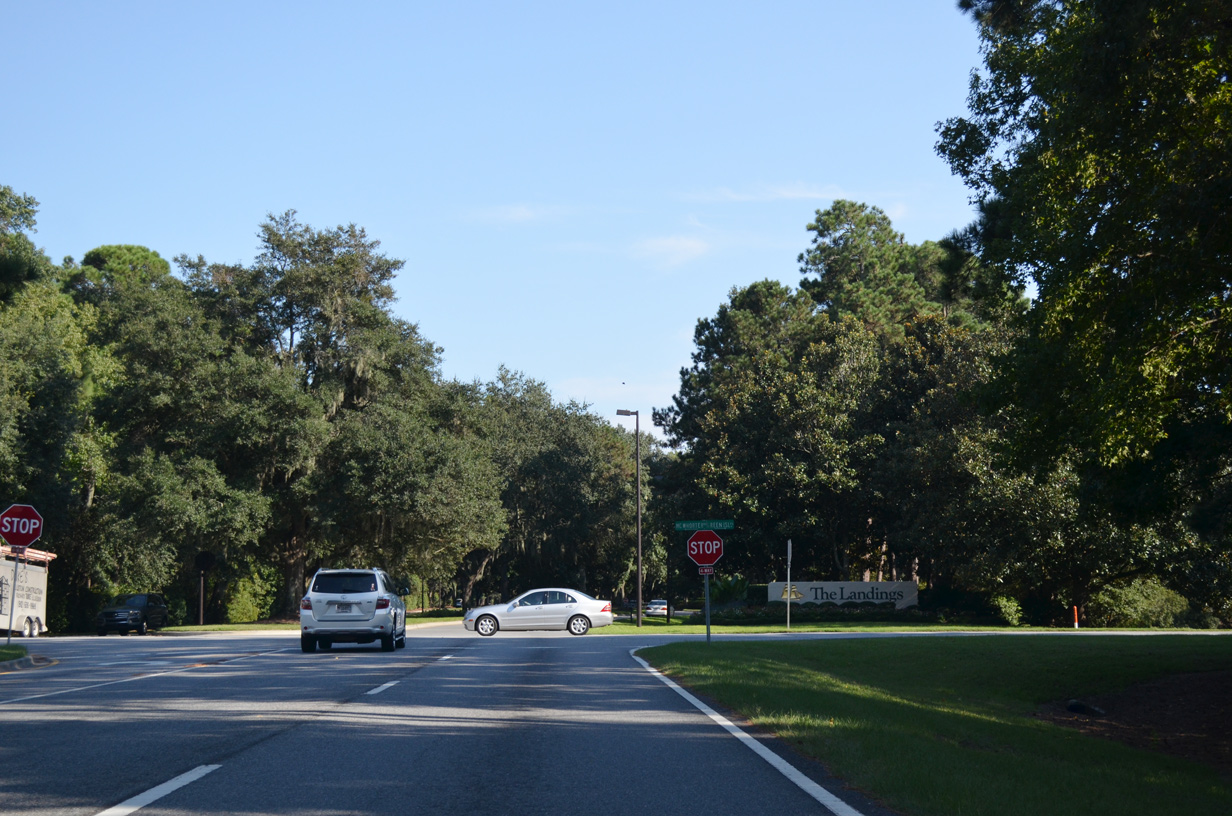
McWhorter Drive runs 4.41 miles north from the end of Diamond Causeway to the Skidaway Institute of Oceanography and the UGA Marine Education Center and Aquarium on the Skidaway River.
09/23/14
09/23/14
Green Island Road heads south from Diamond Causeway and McWhorter Drive 2.14 miles to the South Harbor and Ritter Hammock developments and a a cul-de-sac by Delegal Creek.
09/23/14
09/23/14
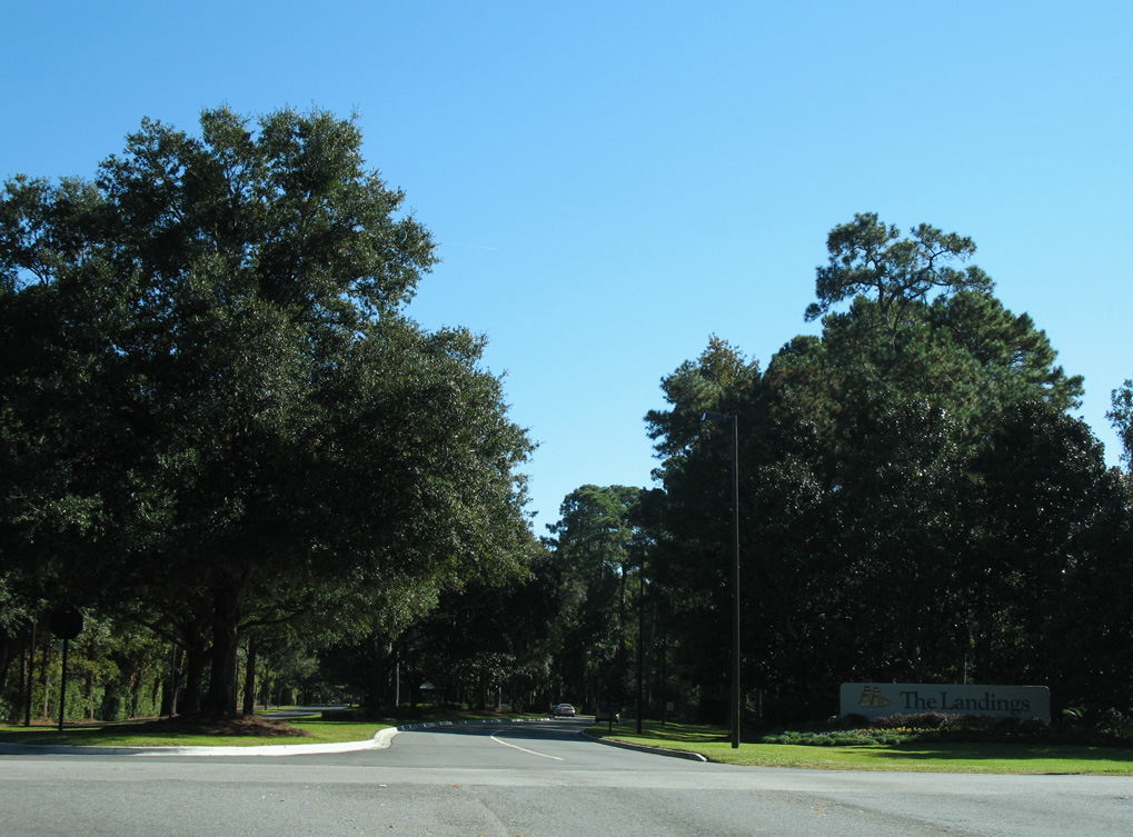
Tidewater Way extends east from Diamond Causeway to the main gate for The Landings.
11/13/06
11/13/06
Photo Credits:
- Alex Nitzman, Carter Buchanan: 05/29/05
- Alex Nitzman, Justin Cozart: 11/13/06
- ABRoads: 09/22/14, 09/23/14
Connect with:
Page Updated Tuesday May 25, 2021.