
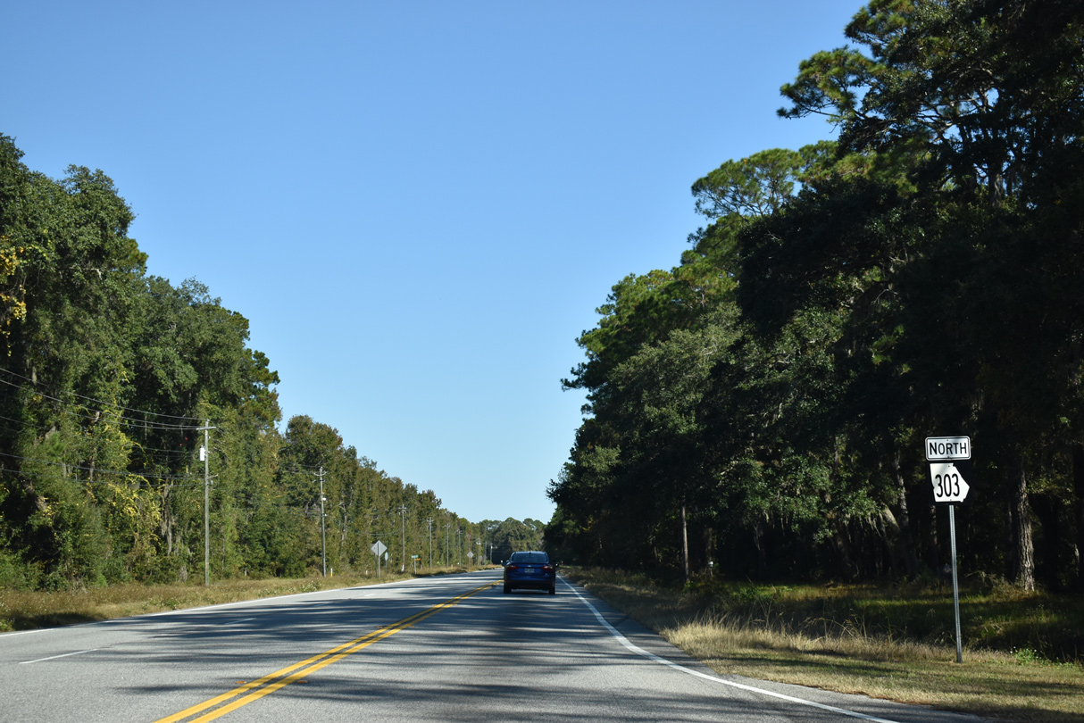
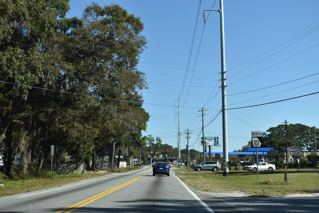
State Route 303
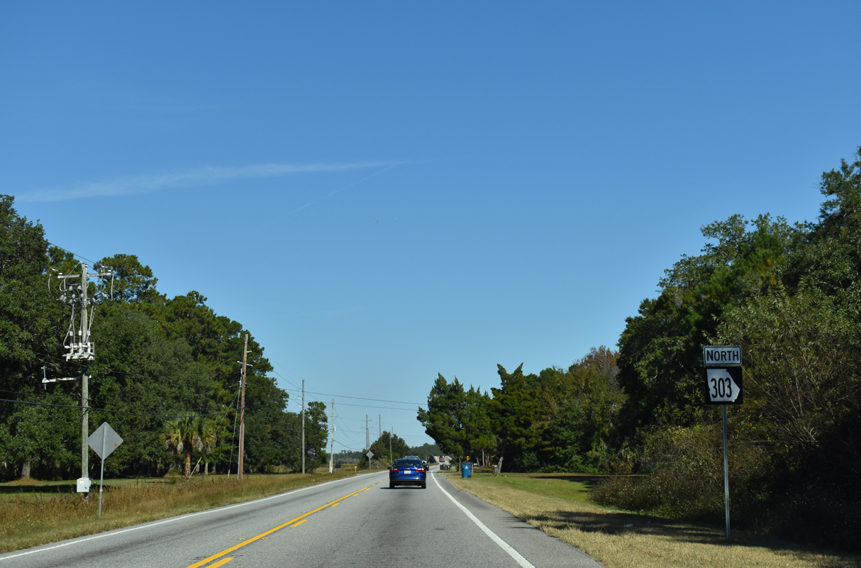
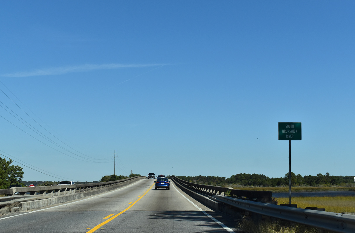
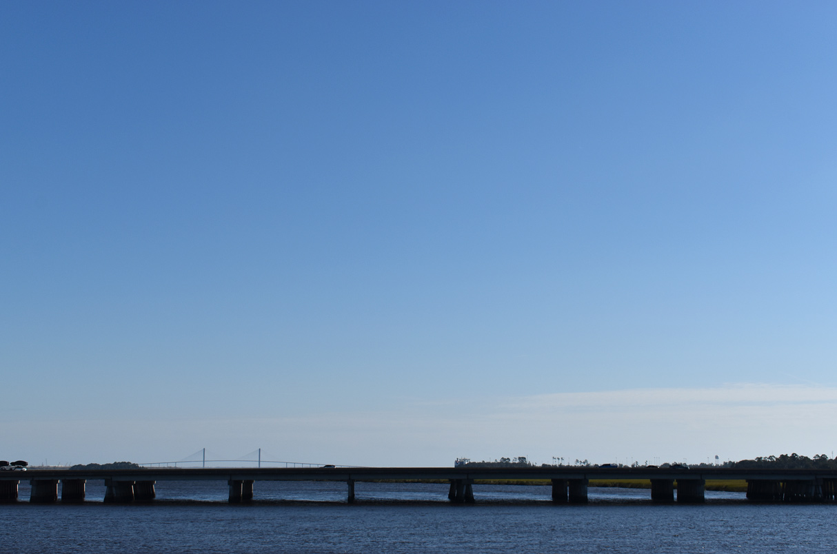
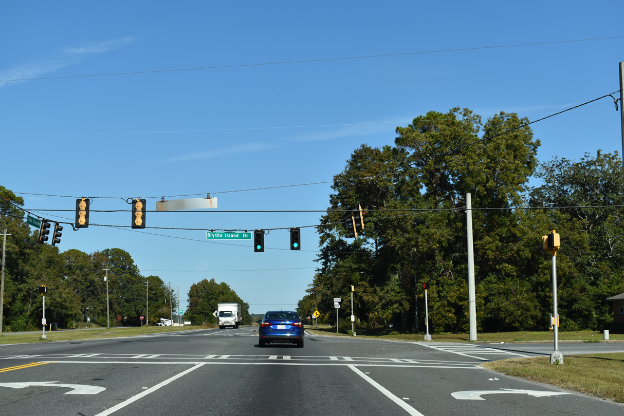
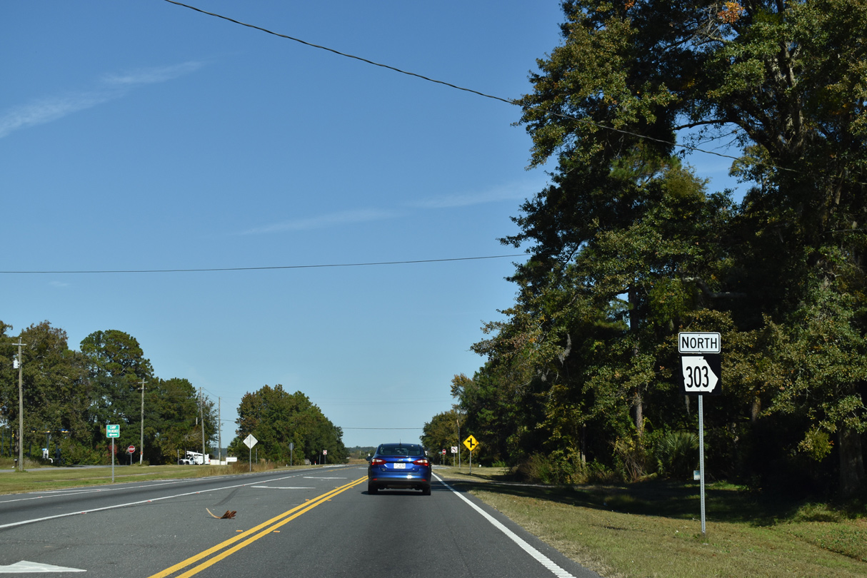
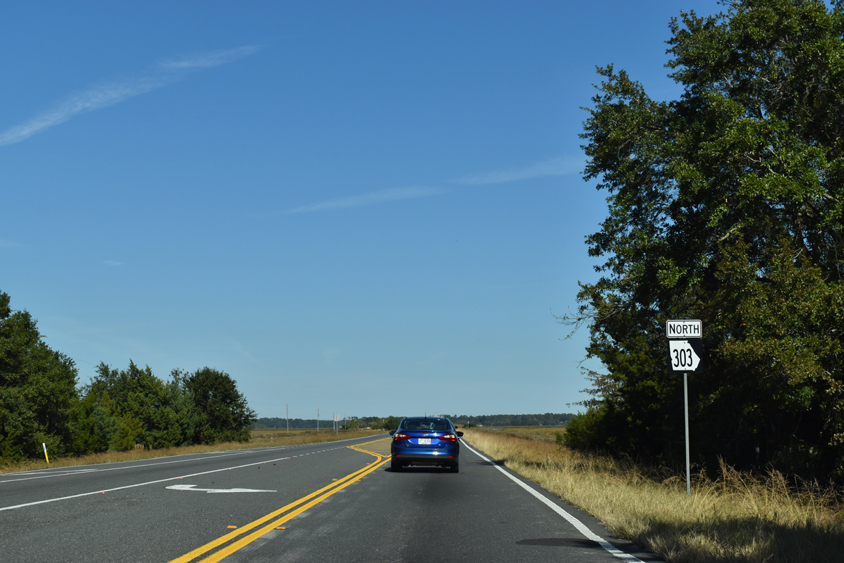
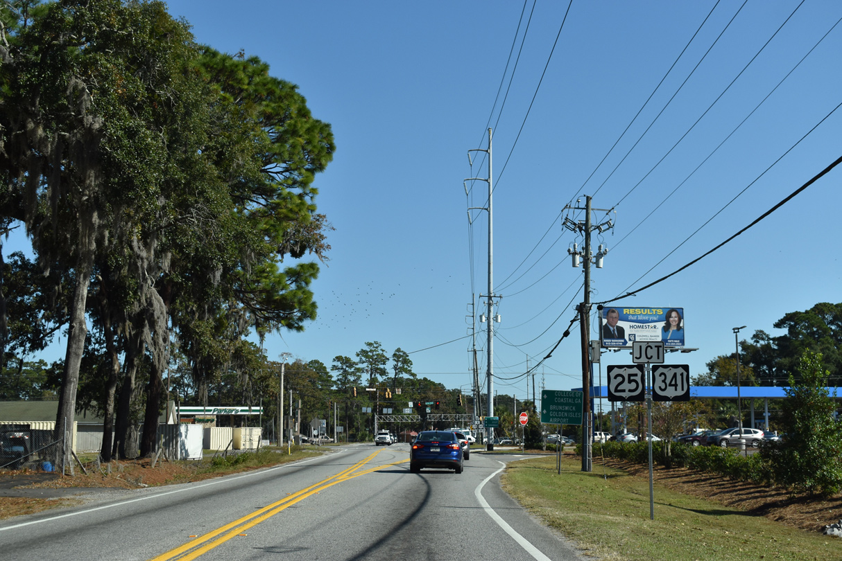
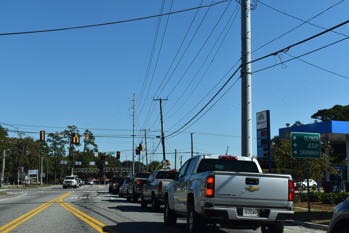
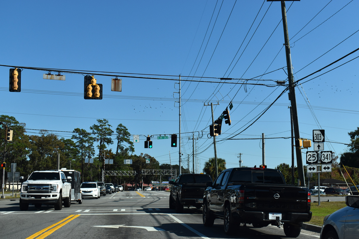
Georgia State Route 303 constitutes a 9.13 mile long loop from U.S. 17/SR 25 (Ocean Highway) and U.S. 82/SR 520 near Spring Bluff to U.S. 17/SR 25 (Darien Highway) on the north side of Brunswick. Prior to 1956, when the original Sidney Lanier Bridge opened over the Brunswick River to the southeast, SR 303 was a part of U.S. 17. U.S. 17 followed SR 303 (Blythe Island Highway) northeast across the South Brunswick River onto Blythe Island, and over the Turtle River to Dock Junction. U.S. 17 curved southward along the Blythe Island Connector to combine with U.S. 25/341 (Norwich Street) into Brunswick.
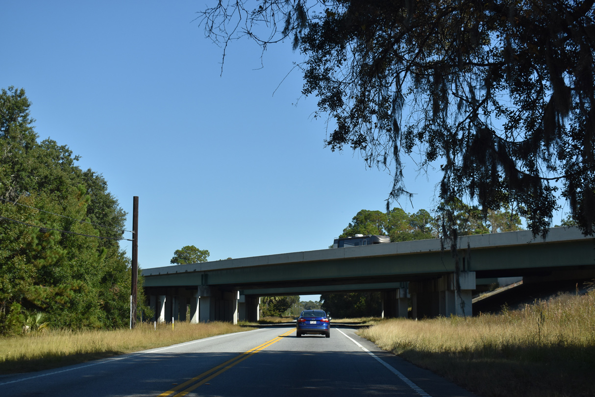
SR 303 (Community Road) extends east from Blythe Island Highway and U.S. 25/341 (New Jesup Highway) onto a viaduct spanning the CSX Railroad and Flanders Drive. The five lane boulevard curves southeast through an industrial park area to Altama Avenue near the College Park neighborhood. The eastern 1.00 mile of SR 303 lines Cypress Mill Road from Cypress Mill Square shopping center to SR 25 Spur (Golden Isles Parkway) and U.S. 17/SR 25 (Darien Highway) near the Azalea Gardens neighborhood.
 North
North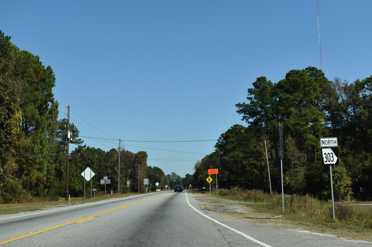
11/19/21
11/19/21
11/19/21
11/19/21
11/19/21
11/19/21
11/19/21
11/19/21
11/19/21
11/19/21
11/19/21
11/19/21
11/19/21
11/19/21
11/19/21
References:
- SR 303 over TURTLE RIVER. http://bridgereports.com/1096934 BridgeReports.com.
Photo Credits:
- ABRoads: 11/19/21
Connect with:
Page Updated Friday December 17, 2021.