
Interstate 5 North - Salem to Woodburn

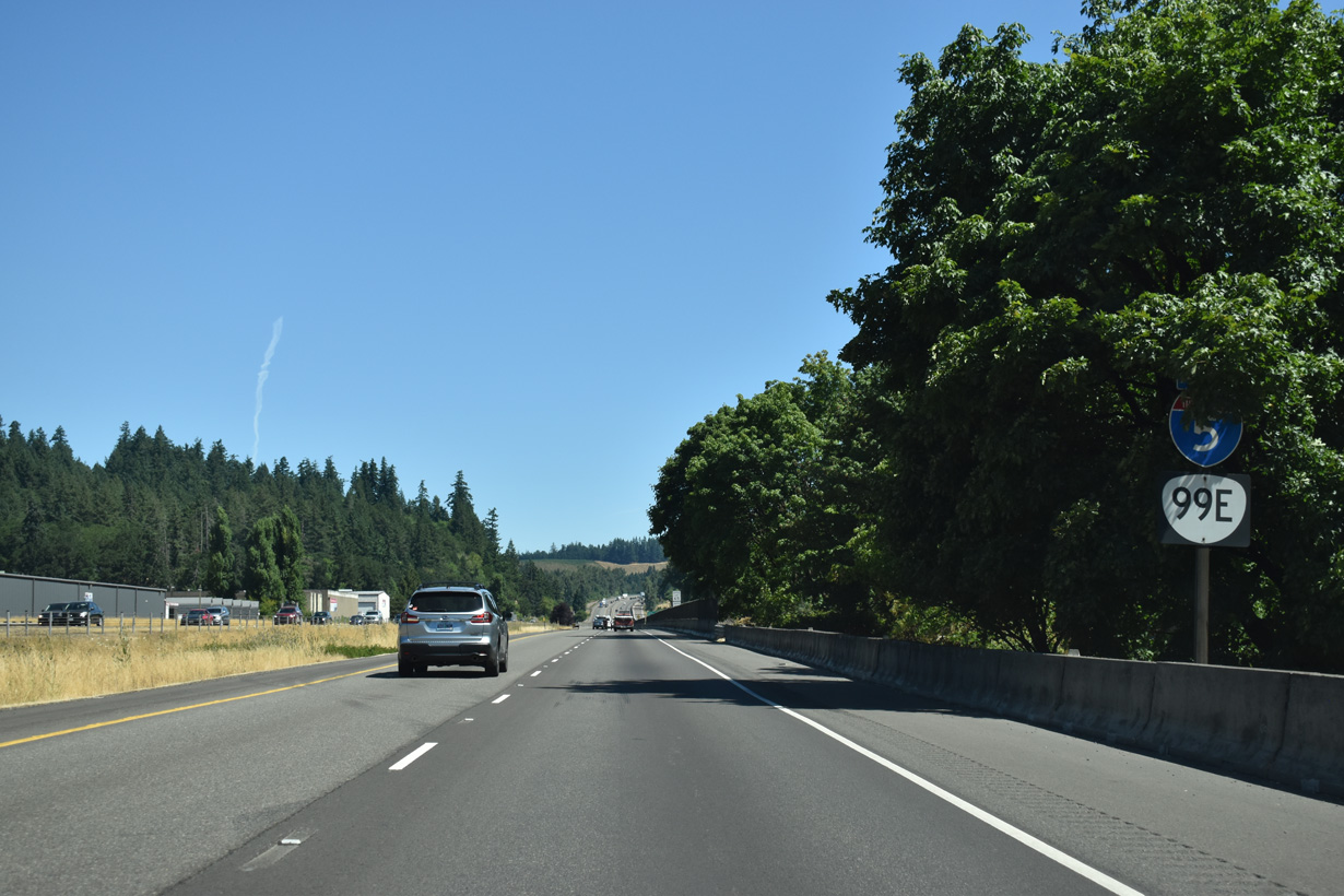
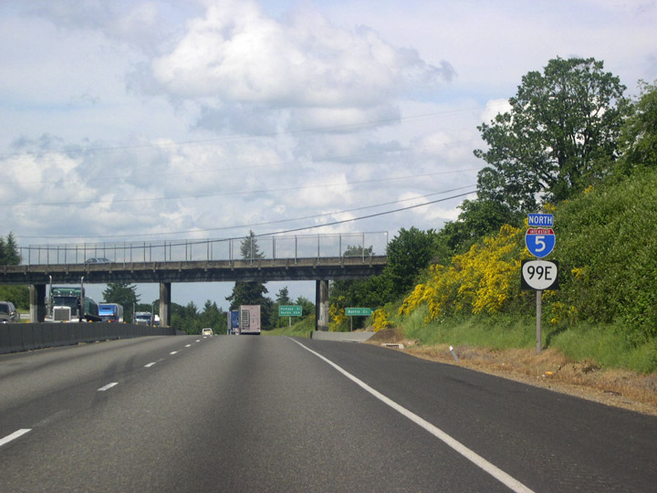
I-5/OR 99E traverse the Salem Hills for the next four miles. Conspicuous yellow-blooming Scotch Broom on surrounding hillsides appear attractive, but this plant is considered a severe pest. Scotch Broom is one of many alien plant species that thrive in the mild climate of the Willamette Valley.
07/16/23
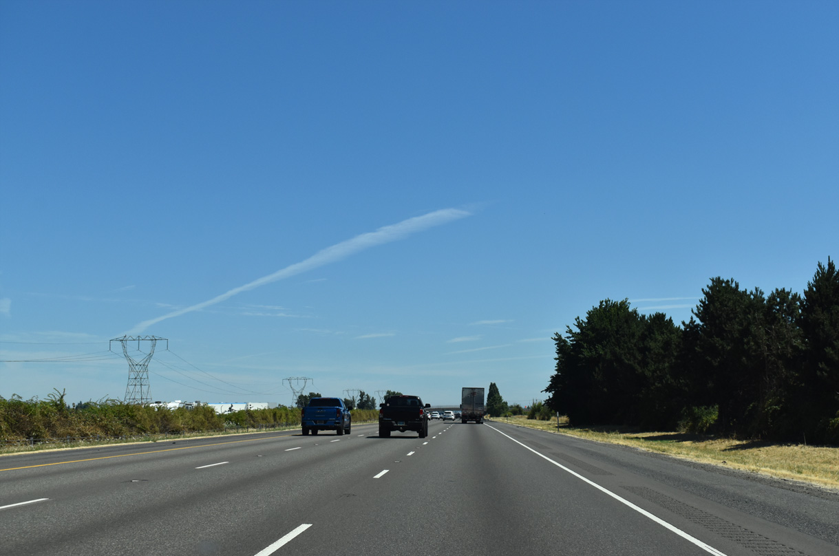
Interstate 5 expands to six overall lanes heading north to the capital city of Salem.
07/16/23
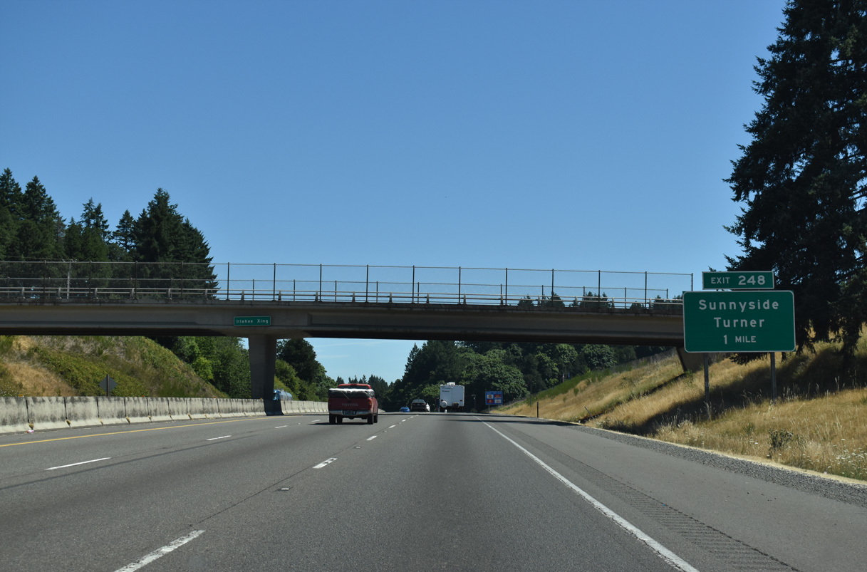
Illahee Crossing spans I-5/OR 99E one mile south of Exit 248 for Sunnyside and Turner. Sunnyside lies a short distance west of I-5. Turner is a city of around 2,500 located three miles to the east along Delaney Road.
07/16/23
Community Interchanges Identification Signs are used along Interstate 5 through the Salem area.
07/16/23
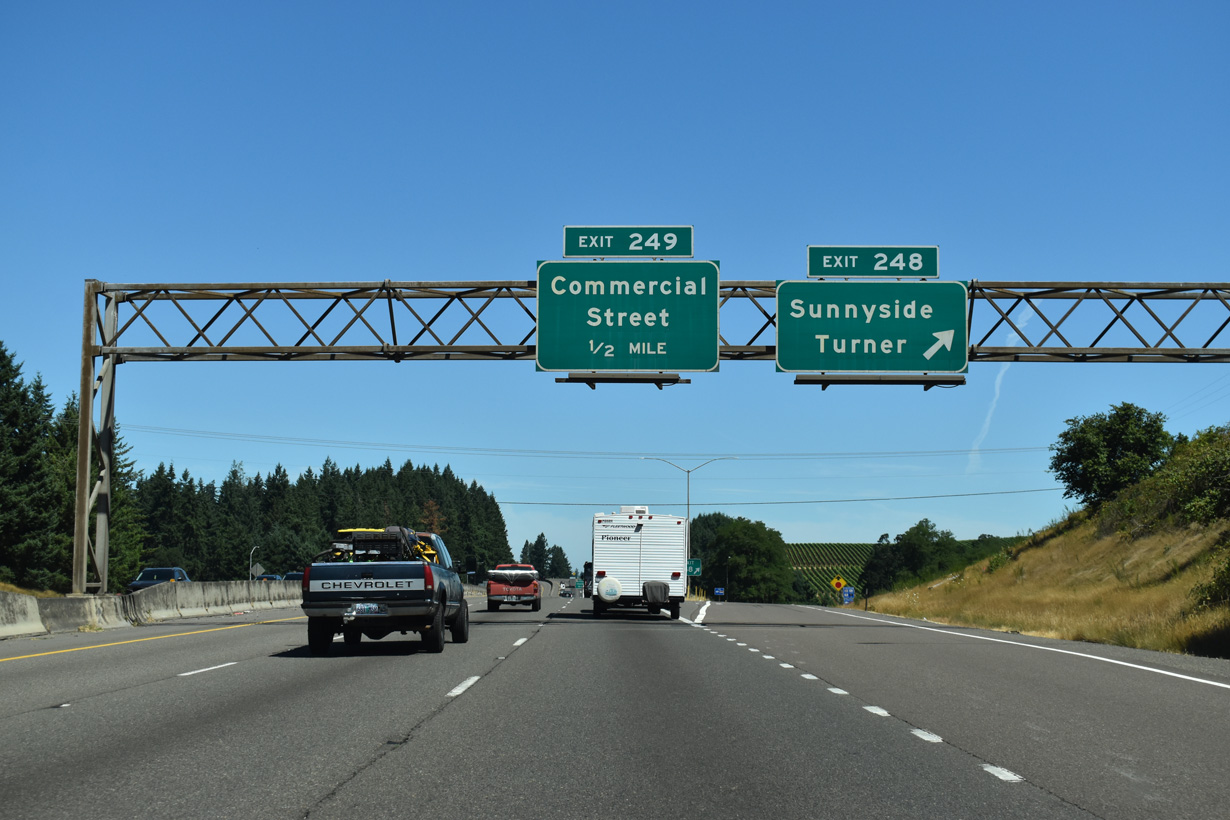
Exit 248 departs I-5/OR 99E north for Delaney Road. Directly east of the freeway along Rodgers Creek is the Enchanted Forest. Located along the frontage road (Enchanted Way SE), this local attraction began as the work of single individual in the 1960s. It eventually grew into a full-fledged amusement park with a storybook theme.
07/16/23
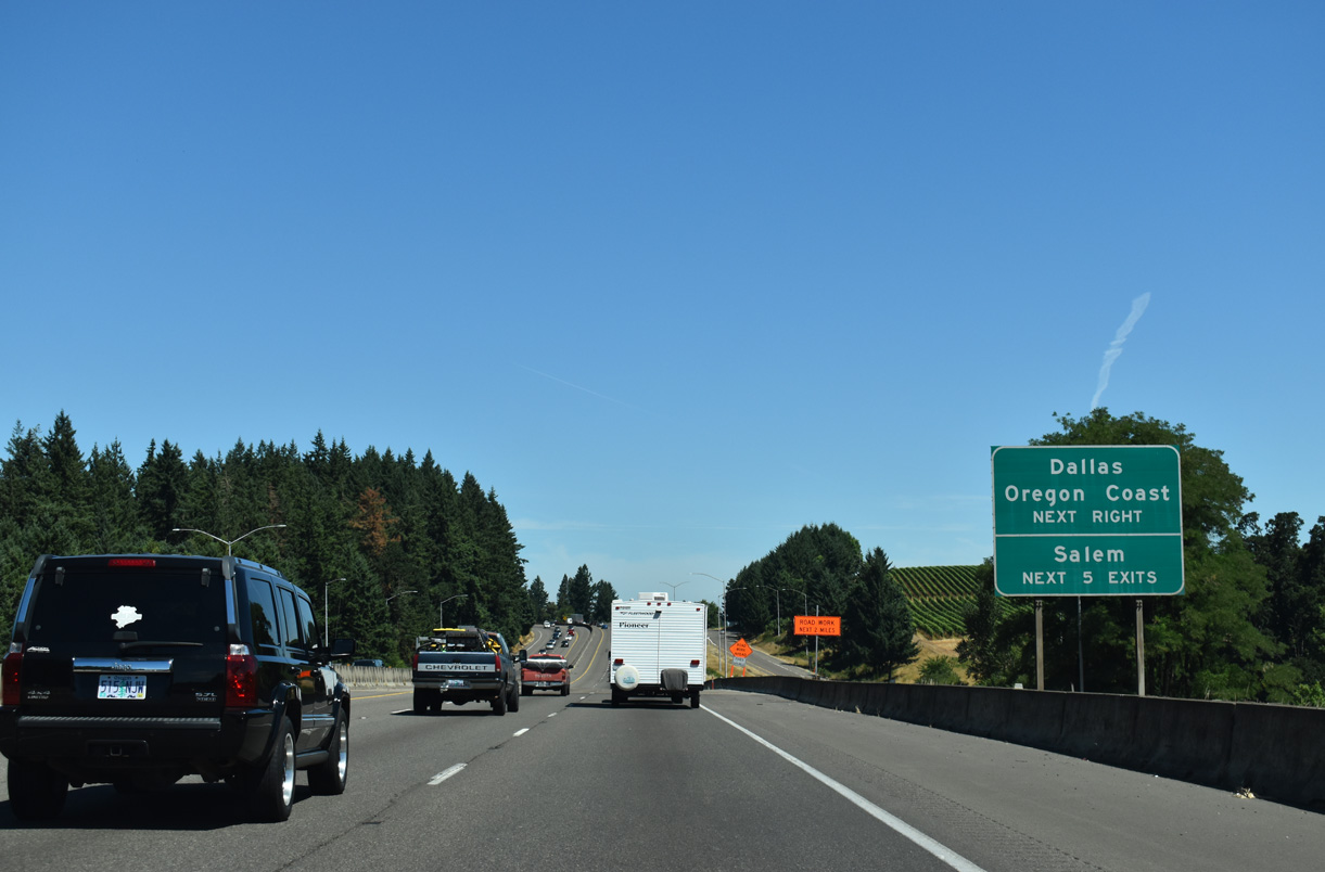
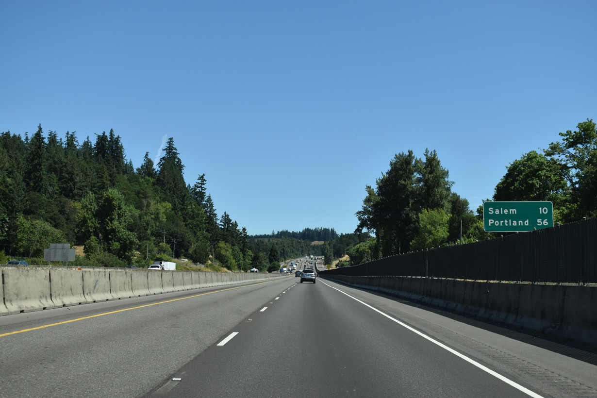
The next five exits lead into Salem, Oregon's capitol and second largest city. One of the state's oldest towns, Salem was platted on a former mission site in 1844 and was named after Salem, Massachusetts. OR 22 and OR 223 lead west from Salem to Dallas. The Oregon Coast is a little over an hour's drive away on OR 22.
07/16/23
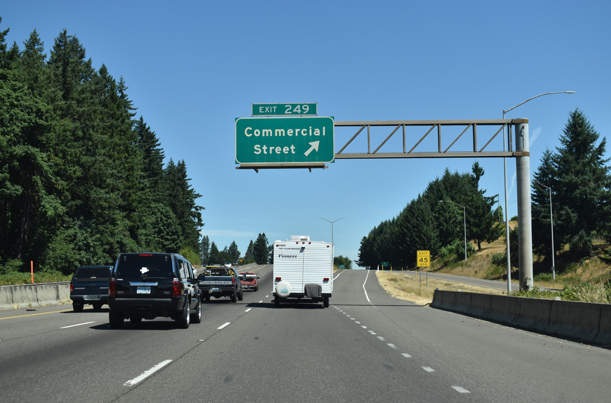
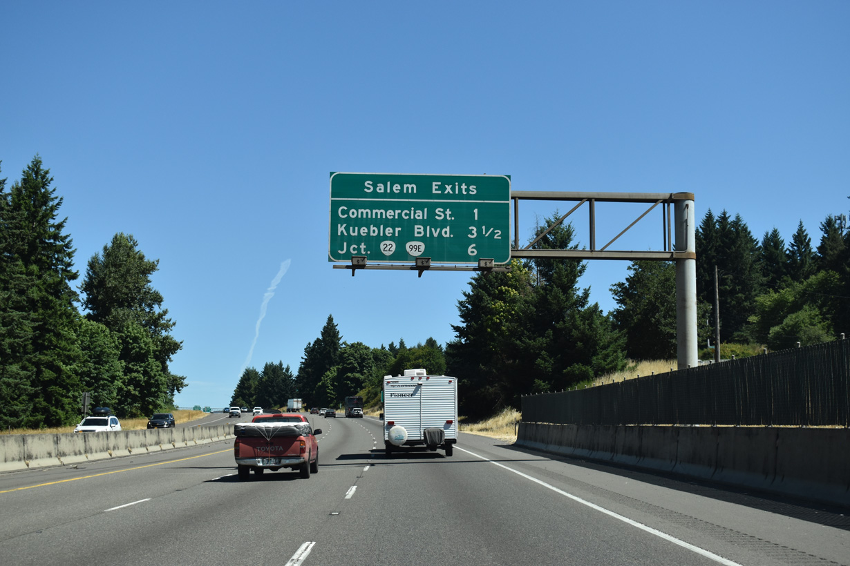
A c/d roadway extends north from Delaney Road to the wye interchange (Exit 249) with Commercial Street. Formerly signed as OR 99E, Commercial Street is a commercial arterial leading north six miles to OR 22 in Downtown Salem.
07/16/23
Formerly routed north along Commercial Street to OR 22 and the Salem city center, OR 99E remains co-signed with Interstate 5 past Exit 249.
05/22/06
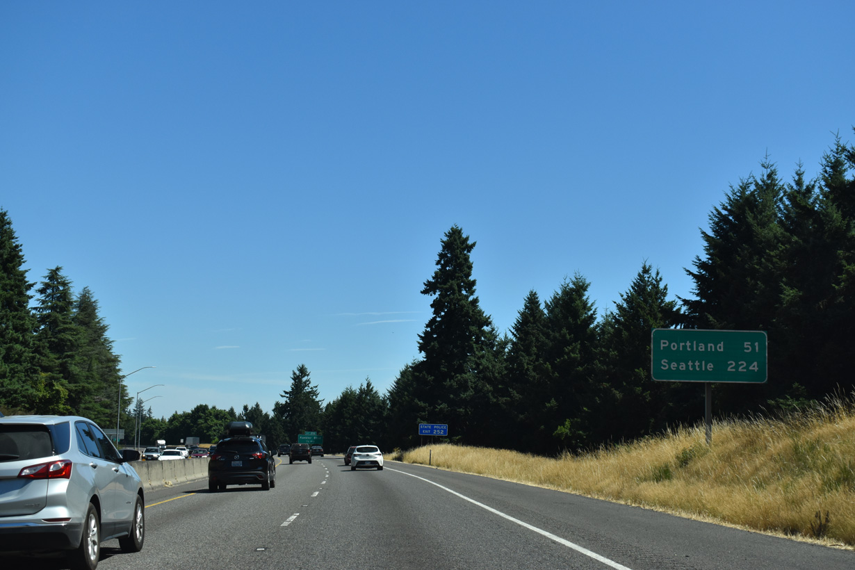
224 miles separate Commercial Street (Exit 249) with Downtown Seattle, Washington. Interstate 5 reaches Portland in 51 miles.
07/16/23
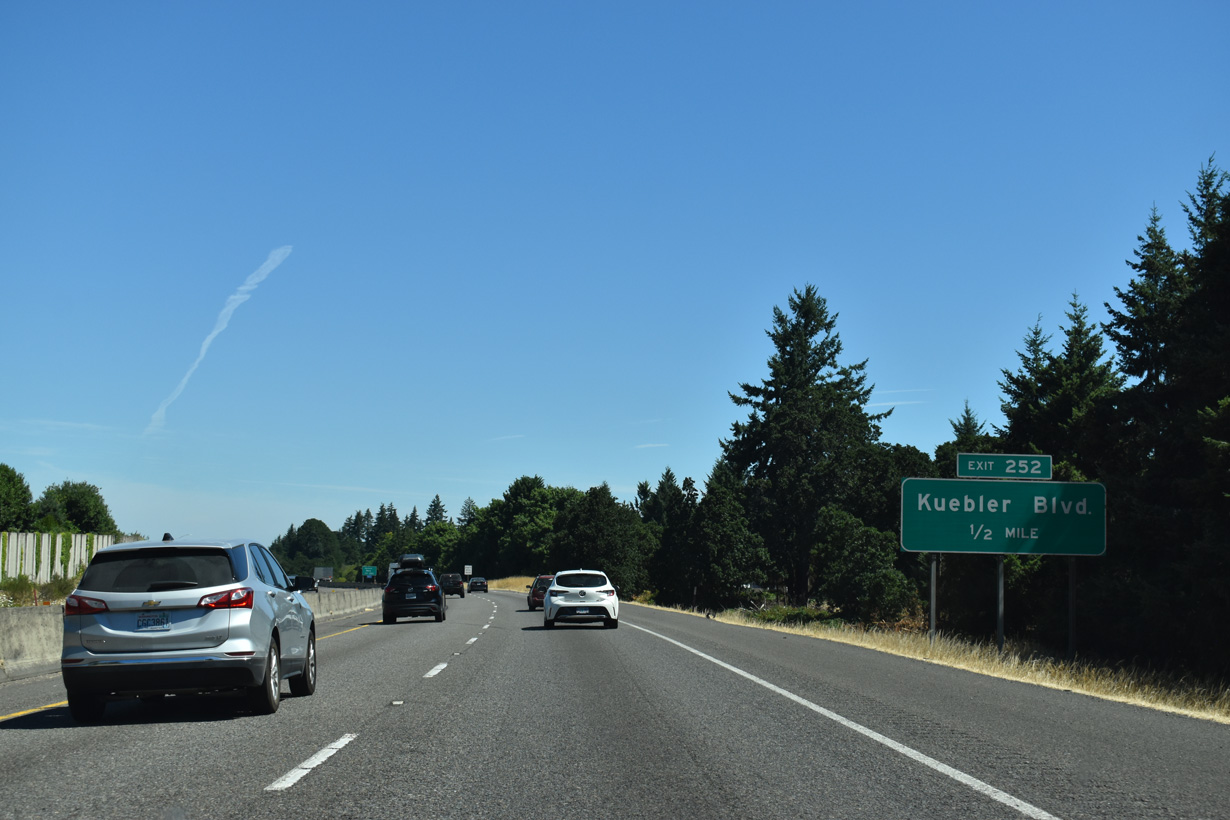
Exit 252 departs in a half mile for Keubler Boulevard, which leads west to Commercial Street for the Salem Historic District.
07/16/23
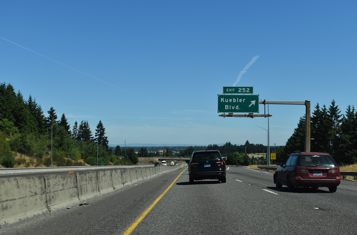
Kuebler Boulevard is an arterial belt route joining south Salem with OR 22 (Santiam Highway) to the northeast via Cordon Road.
07/16/23
These confirming markers precede the bridge taking I-5/OR 99E north across the Union Pacific Railroad.
07/16/23
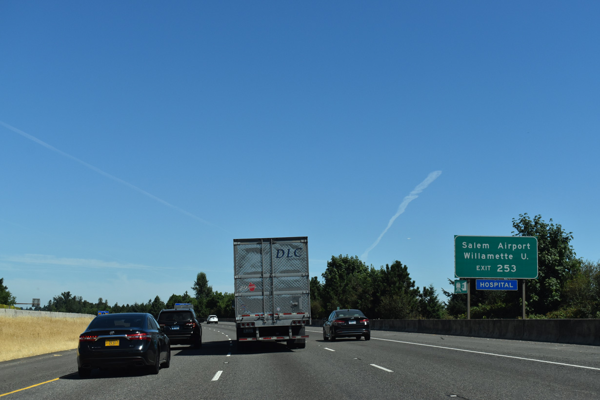
![Curving to the northeast around Salem-Willamette Valley Airport [McNary Field] (SLE), I-5/OR 99E next meet OR 22 (North Santiam Highway) and OR 99E Business north.](../../or/005/i-005-n-exit-253-2.jpg)
Curving to the northeast around Salem-Willamette Valley Airport [McNary Field] (SLE), I-5/OR 99E next meet OR 22 (North Santiam Highway) and OR 99E Business north.
07/16/23
OR 22/99E Business overlap northwest to 25th Street SE for Salem-Willamette Valley Airport (SLE) and onto Bellevue Street at Willamette University.
07/16/23

West of the six-ramp parclo interchange at Exit 253, OR 22 (North Santiam Highway) heads into Salem along Mission Street. OR 99E Business loops west to Downtown Salem and north along Salem Parkway, back to I-5/OR 99E at Exit 260 A.
07/16/23
The speed limit through the Salem vicinity along Interstate 5 is consistently posted at 60 m.p.h.
07/16/23
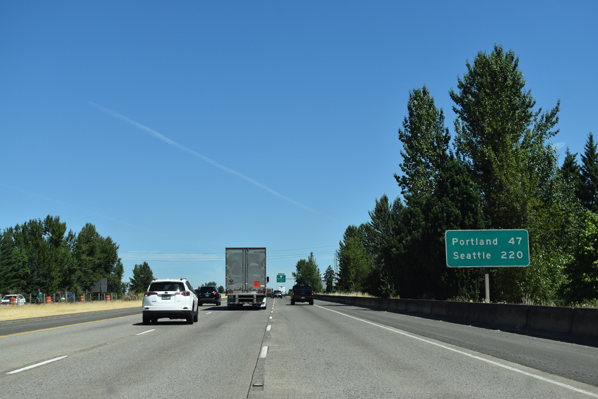
Progressing north to State Street, Portland is 47 miles away, followed by Seattle in 220 miles.
07/16/23
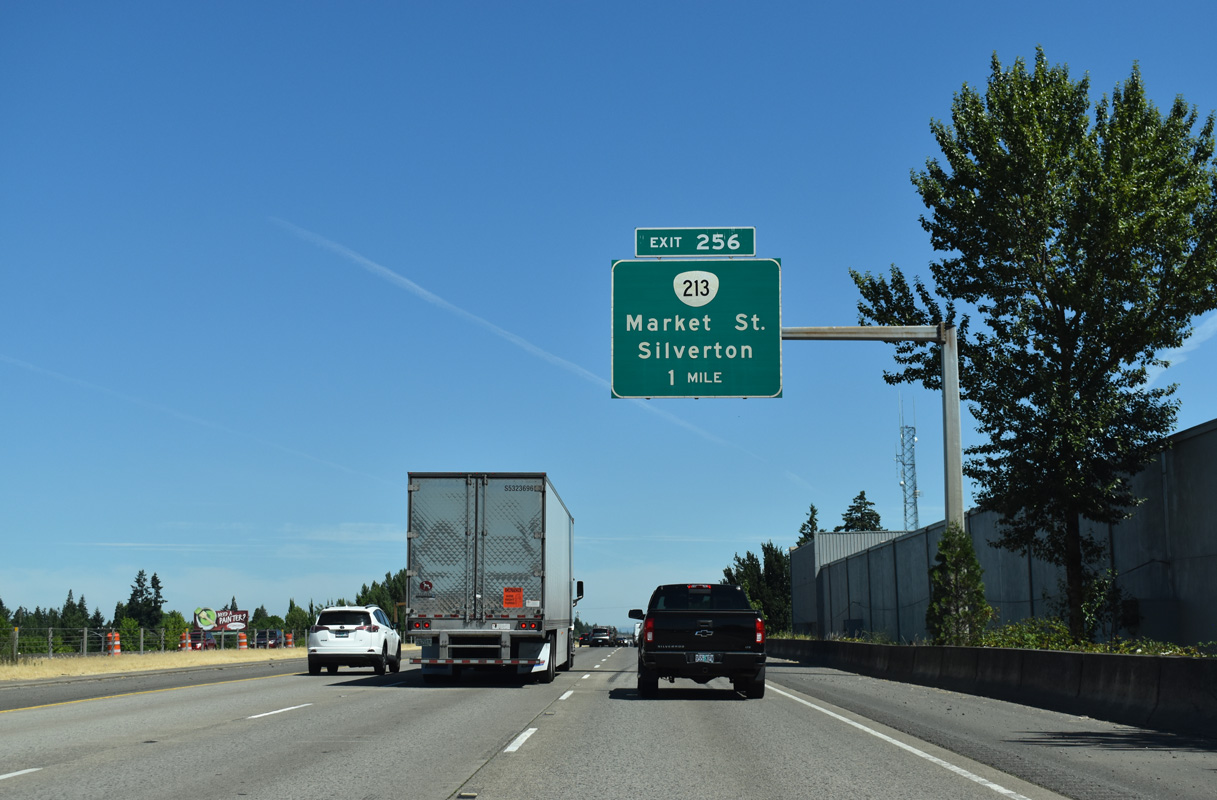
A single point urban interchange (SPUI) joins I-5 with OR 213 (Market Street) 1.25 miles north of State Street.
07/16/23
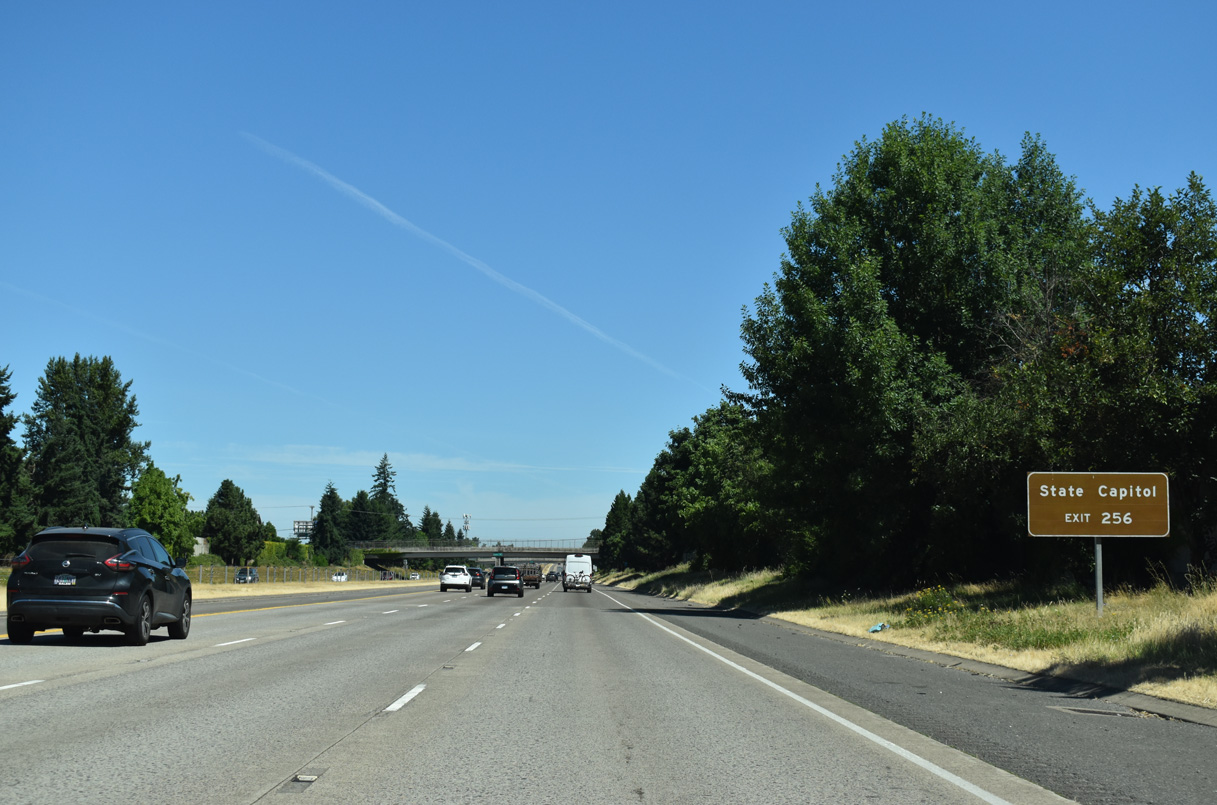
West from Exit 256, Market Street heads to the couplet of Summer Street and Capital Street, the former alignment of OR 99E, north of the Oregon State Capitol.
07/16/23
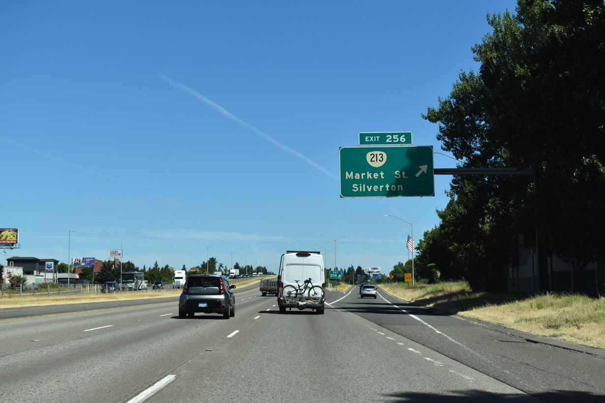
OR 213 dog legs north from Market Street along Lancaster Drive to Silverton Road en route to the cities of Silverton and Molalla.
07/16/23
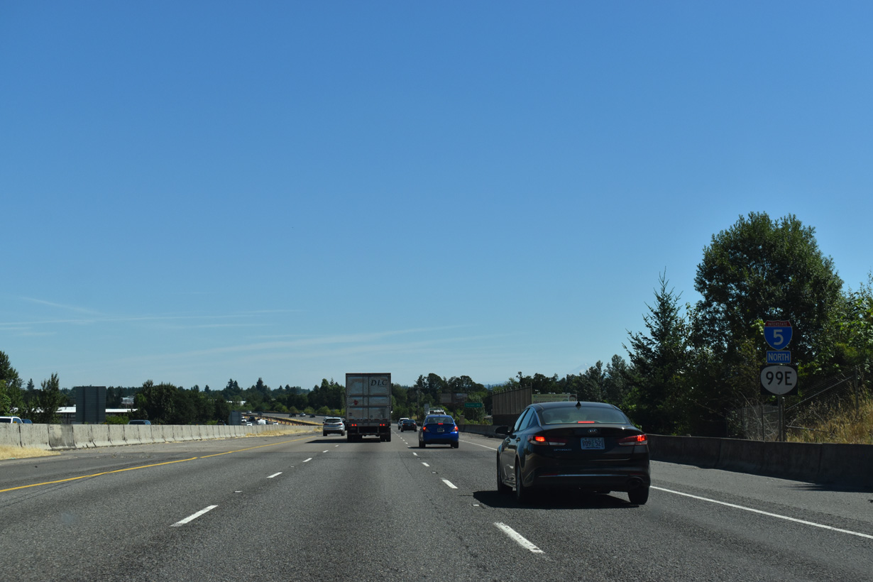
OR 99E is not acknowledged along the overlap with Interstate 5 north beyond the separation with OR 99E Business at Exit 253.
07/16/23
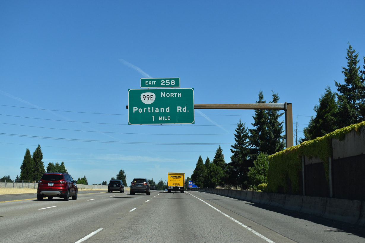
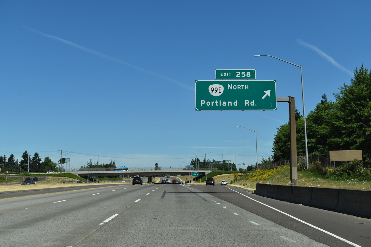
OR 99E branches northeast from Interstate 5 at upcoming Exit 258.
07/16/23
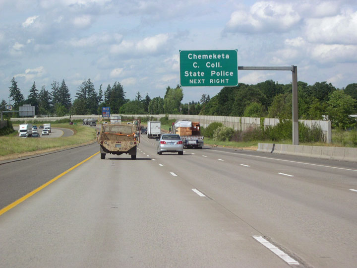
Chemeketa Community College lies east of Exit 258 and south of OR 99E (Portland Road NE) along Lancaster Drive in the community of Hayesville.
05/22/06
The old alignment of U.S. 99E/OR 99E (Portland Road NE) extends from central Salem to a six-ramp parclo interchange (Exit 258) with Interstate 5. Rejoining Portland Road NE and Pacific Highway East, OR 99E continues north to Woodburn.
07/16/23
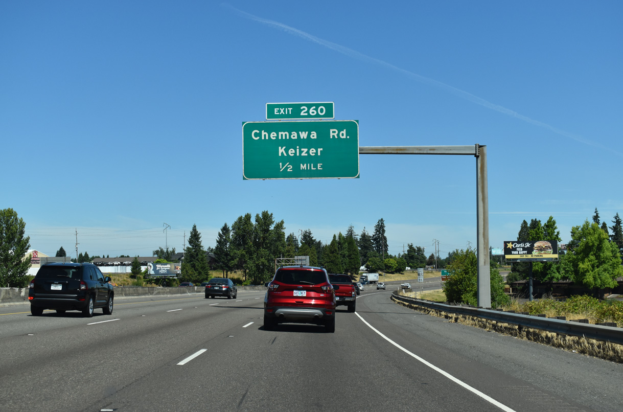
Forthcoming Exit 260 for Chemawa Road and the city of Keizer also leads motorists toward the Oregon Garden. Located in the city of Silverton and dedicated in 1999, the site features over 20 specialty gardens and is watered with recycled wastewater.
07/16/23
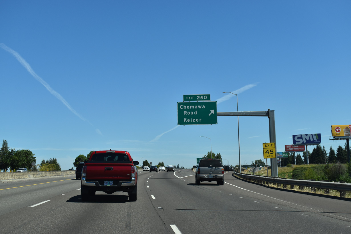
Exit 260 partitions from I-5 north ahead of the wye interchange with the north end of Salem Parkway (canceled Interstate 305). Chemawa Road east becomes Hazelgreen Road ahead of Silverton and the Oregon Garden. The Salem suburb of Keizer lies directly west of the freeway here.
07/16/23
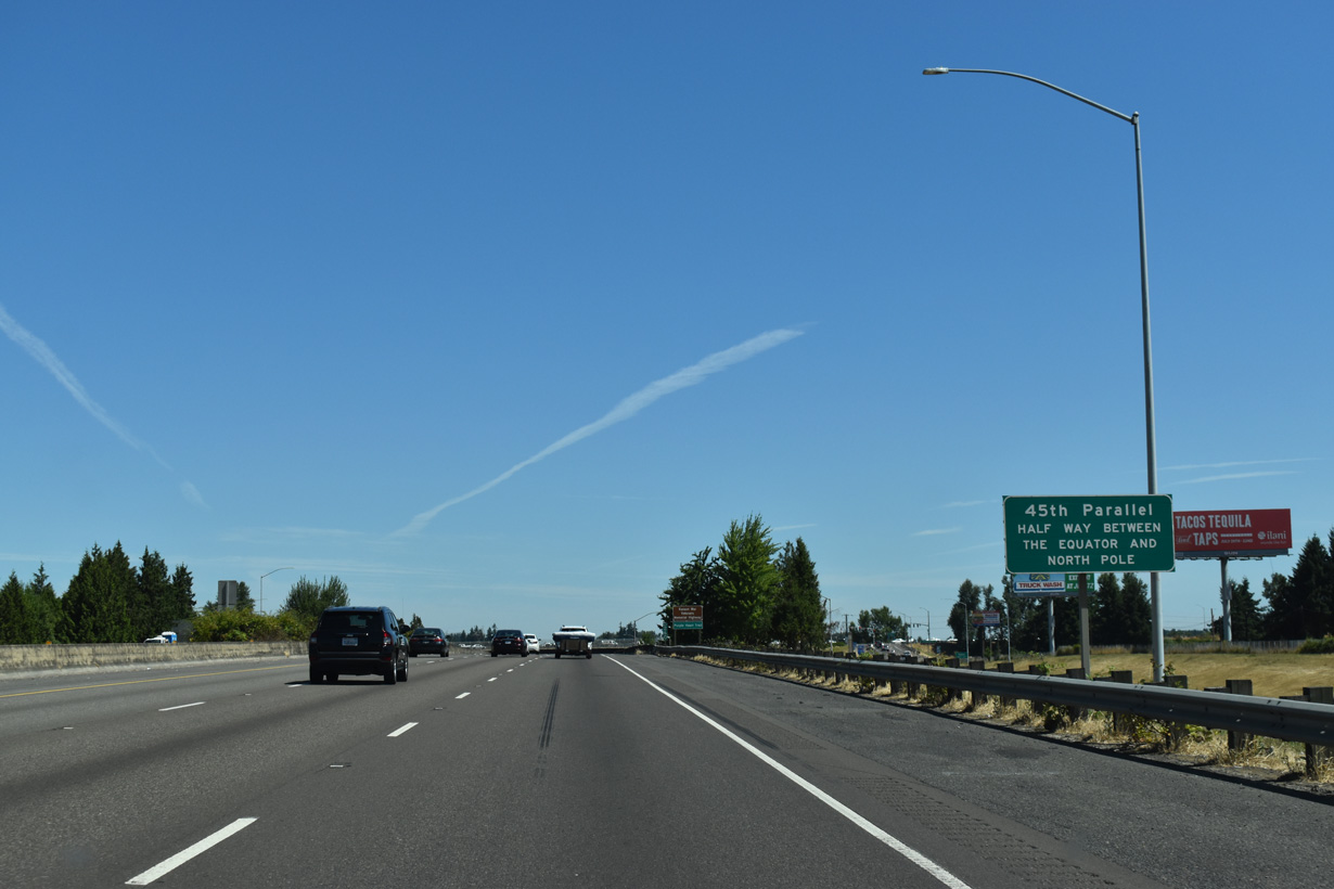
Travelers along Interstate 5 northbound will be closer to the North Pole than they are to the equator after the freeway crosses the 45th parallel just north of Keizer.
07/16/23
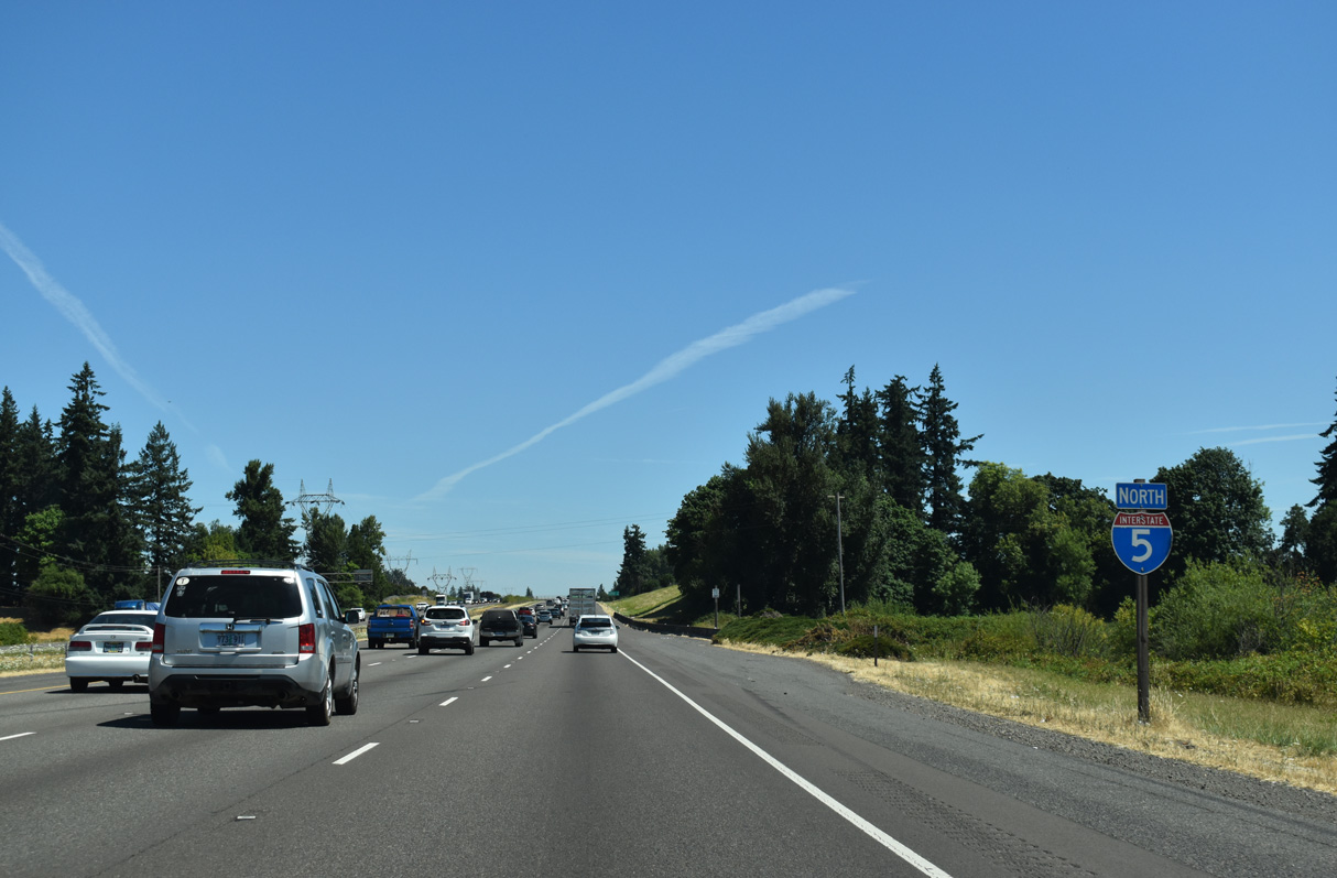
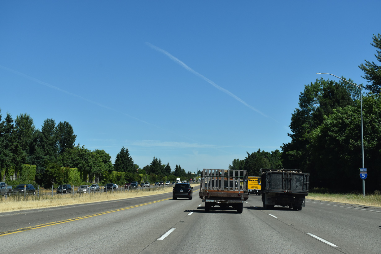
There will be at least three lanes in each direction along Interstate 5 for the rest of the way north to the Rose City.
07/16/23
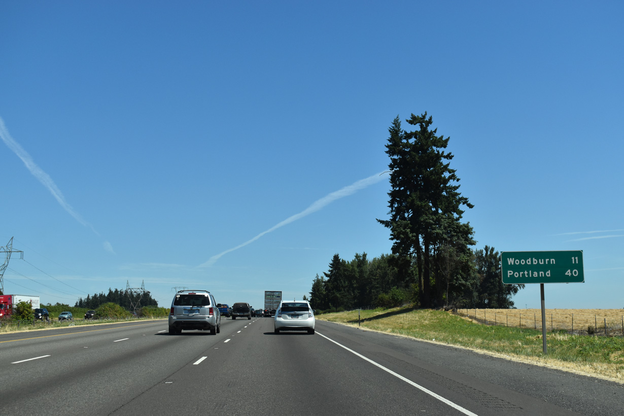
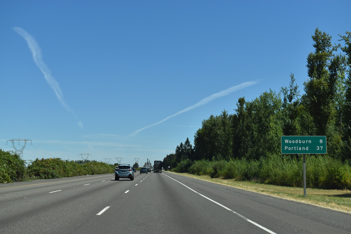
The first distance sign after leaving the Salem area shows Portland is 40 miles away. Distances to Seattle are no longer provided.
07/16/23
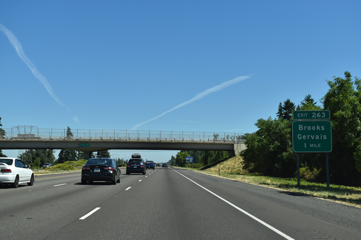
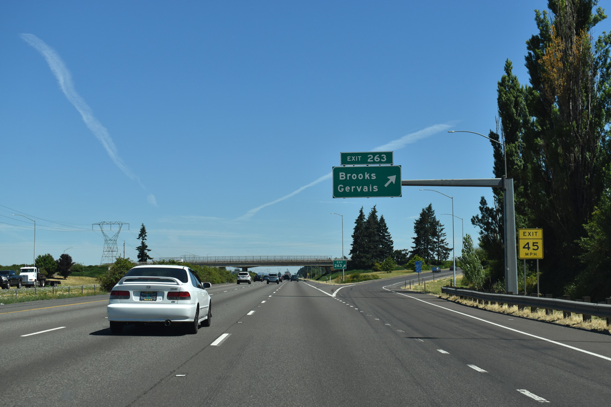
Continuing north, Interstate 5 travels one mile to Exit 263 for the unincorporated community of Brooks. Parallel OR 99E (Pacific Highway East) leads northeast from Brooks to the city of Gervais.
07/16/23
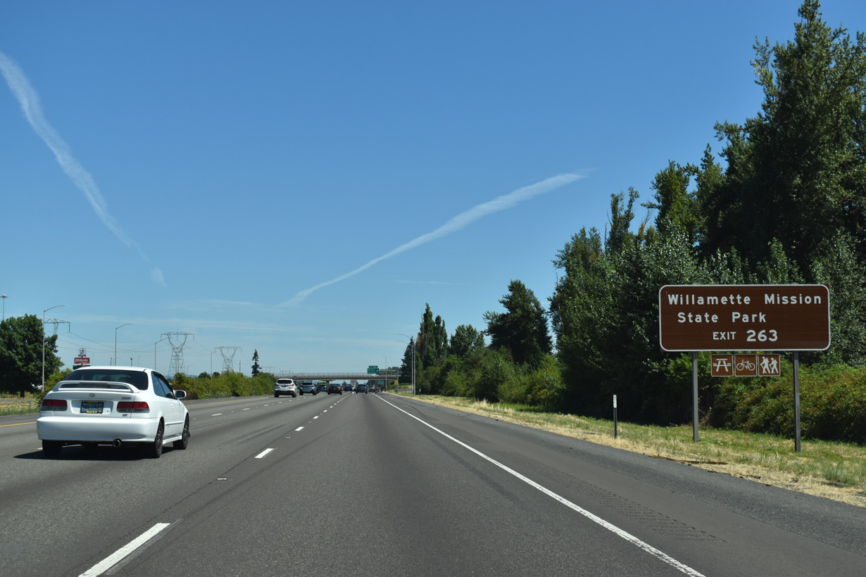
Willamette Mission State Park lies 5.7 miles to the northwest of the diamond interchange at Exit 263.
07/16/23
Interstate 5 reaches Exit 263 for Brooklake Road west to Wheatland Road and east to OR 99E (Portland Road) in Brooks.
07/16/23
The linear stretch north from Brooks leads Interstate 5 eight miles to the city of Woodburn.
07/16/23
High-voltage transmission lines run along the west side of the freeway almost to Wilsonville.
07/16/23
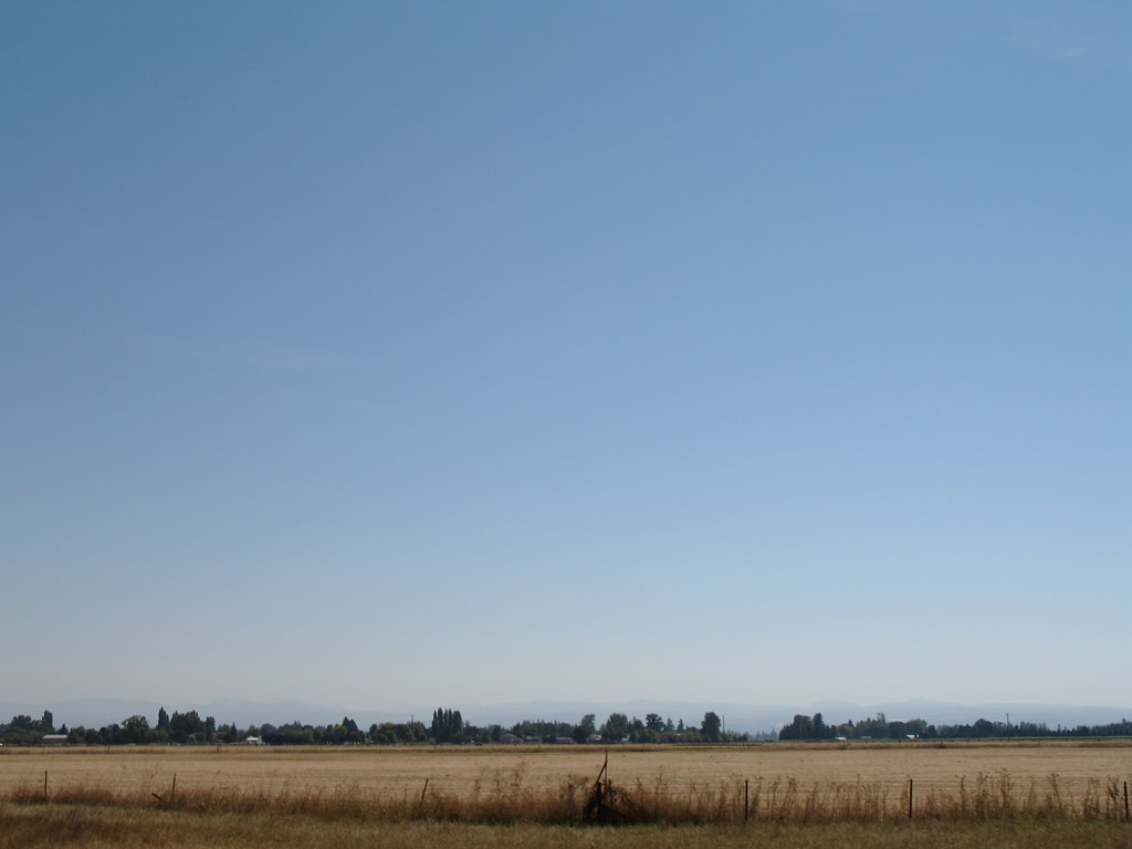
Farmland spreads east from I-5 to the Cascade Range foothills. The Willamette Valley is one of the nation's premiere nursery stock and grass growing regions. A mild but seasonal climate provides a long growing season while still allowing for sufficient winter chilling many temperate plants need.
08/27/06
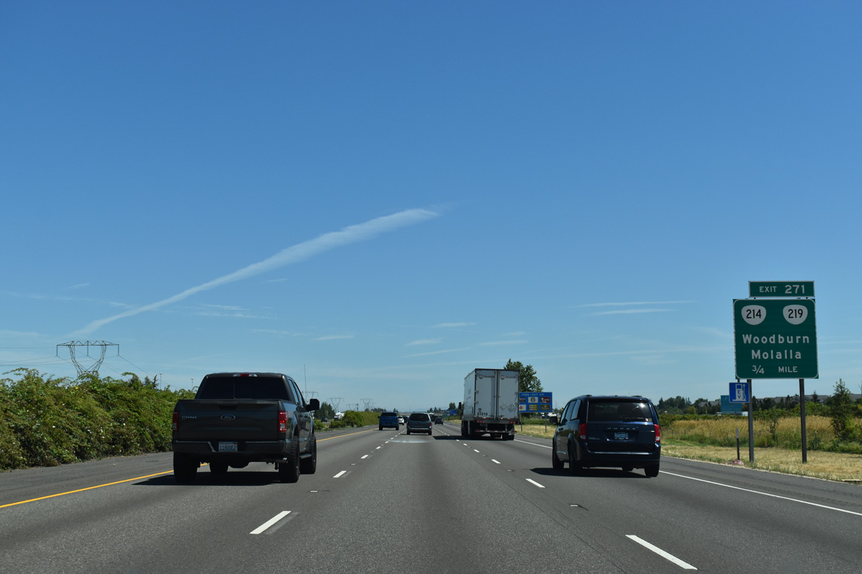
Collectively part of Hillsboro-Silverton Highway, OR 219 east and OR 214 west converge with I-5 by the Woodburn Premium Outlets within western reaches of Woodburn. Surrounded by Willamette Valley farmland, this city of over 26,000 is home to the annual Woodburn Tulip Festival.
07/16/23
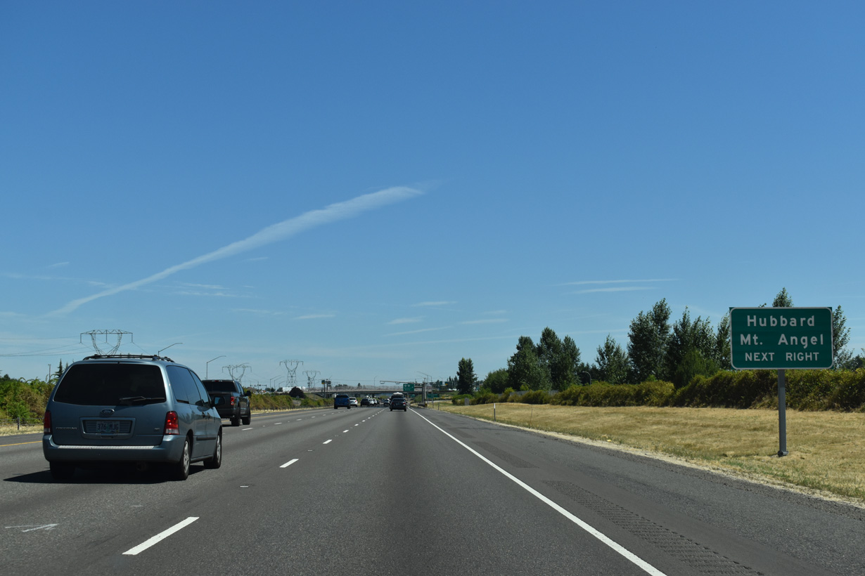
South from Woodburn, OR 214 travels to Mt. Angel, home of the locally famous Mt. Angel Oktoberfest. Hubbard lies north of Woodburn on OR 99E.
07/16/23
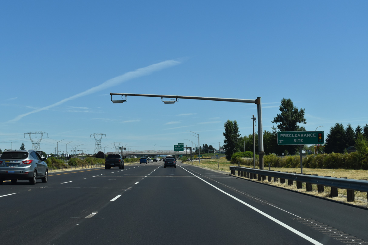
A preclearance site for commercial trucks precedes the six-ramp parclo interchange (Exit 217) with OR 219/214 (Hillsboro-Silverton Highway).
07/16/23
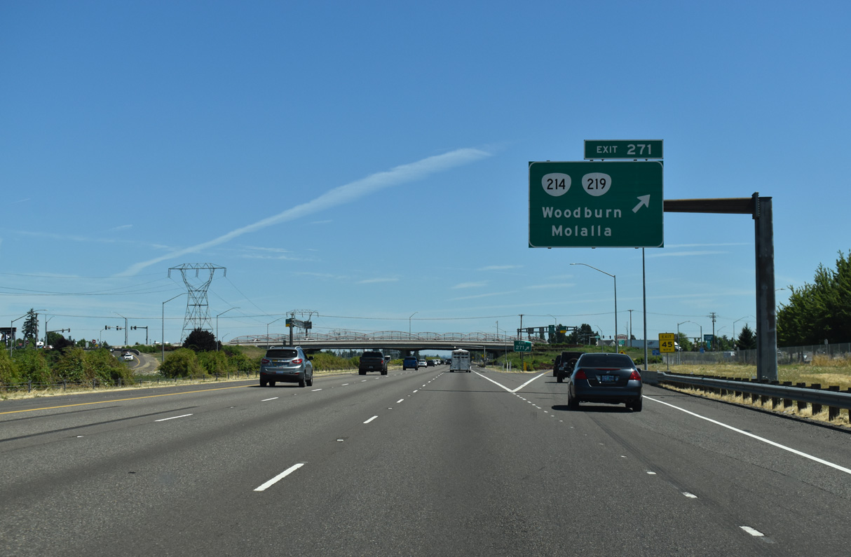
OR 219 follows a stair stepped route north to Saint Paul and Newburg. OR 211 extends east from OR 214/99E in Woodburn 12 miles to the city of Molalla.
07/16/23
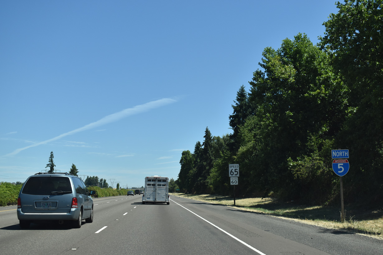
The landscape along Interstate 5 changes minimally north from Woodburn.
07/16/23
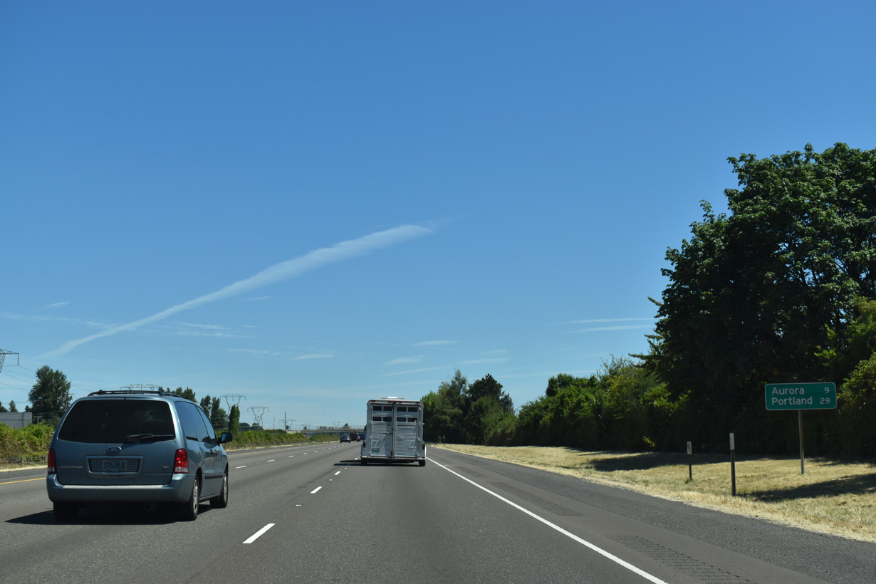
Aurora represents the succeeding exit from I-5 northbound. Portland is 29 miles away.
07/16/23
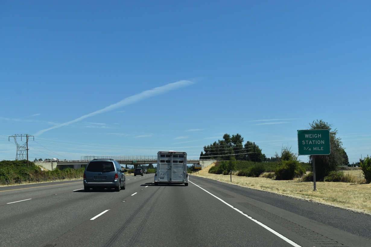
The weigh station north of Woodburn operates with a "green light" weigh-in-motion preclearance site, allowing trucks equipped with certain transponders to bypass the station. This option saves fuel and reduces emissions.
07/16/23
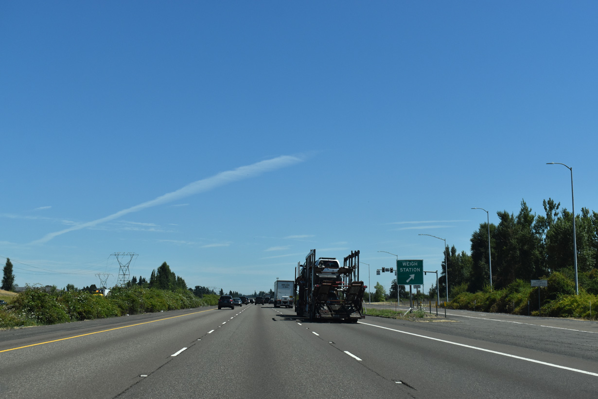
The weigh station north of Woodburn operates with a "green light" weigh-in-motion preclearance site, allowing trucks equipped with certain transponders to bypass the station. This option saves fuel and reduces emissions.
07/16/23
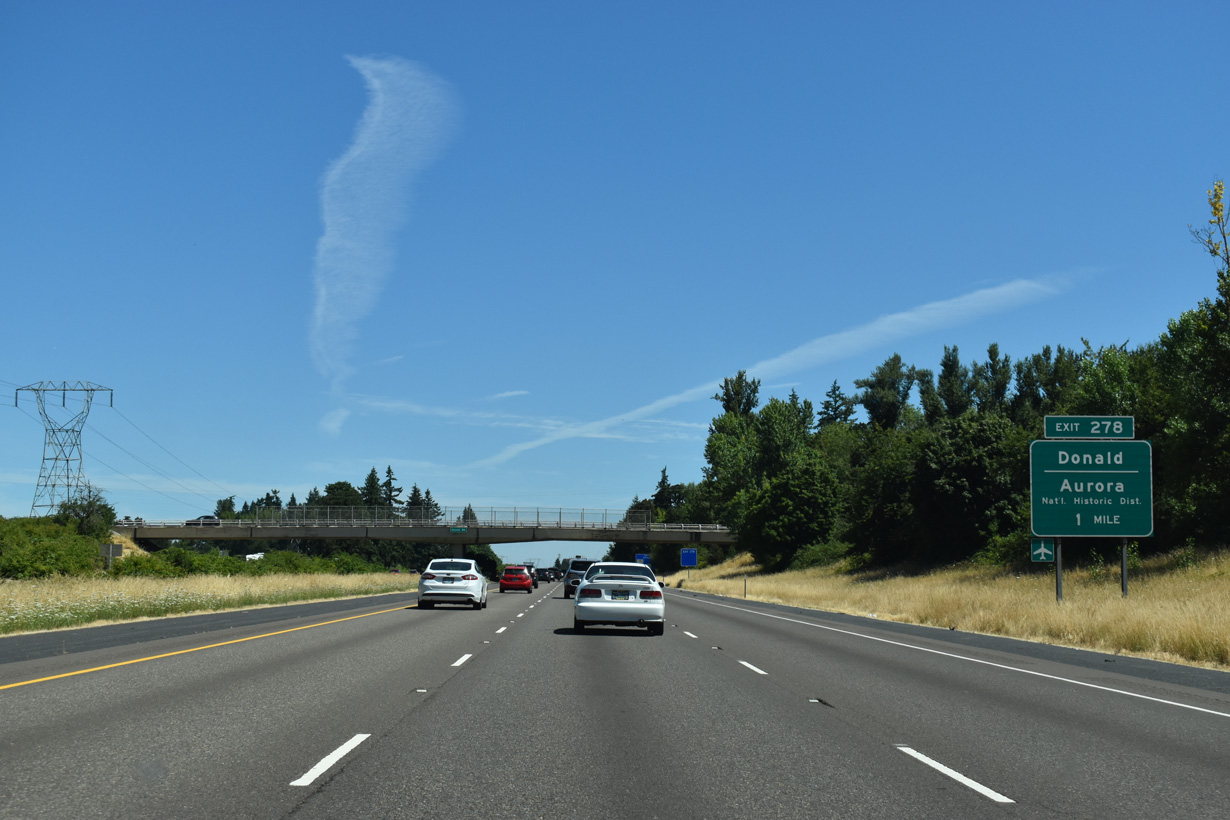
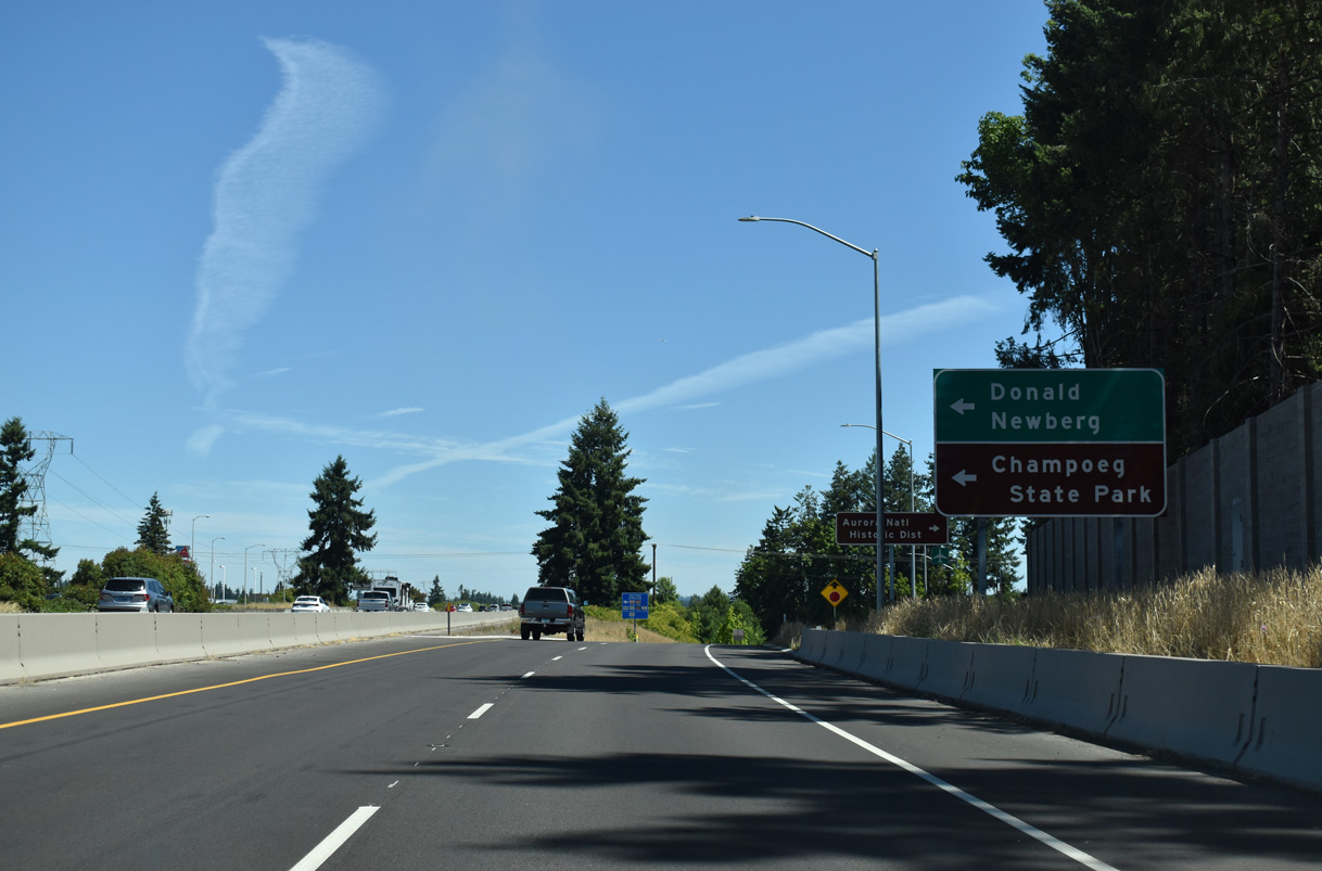
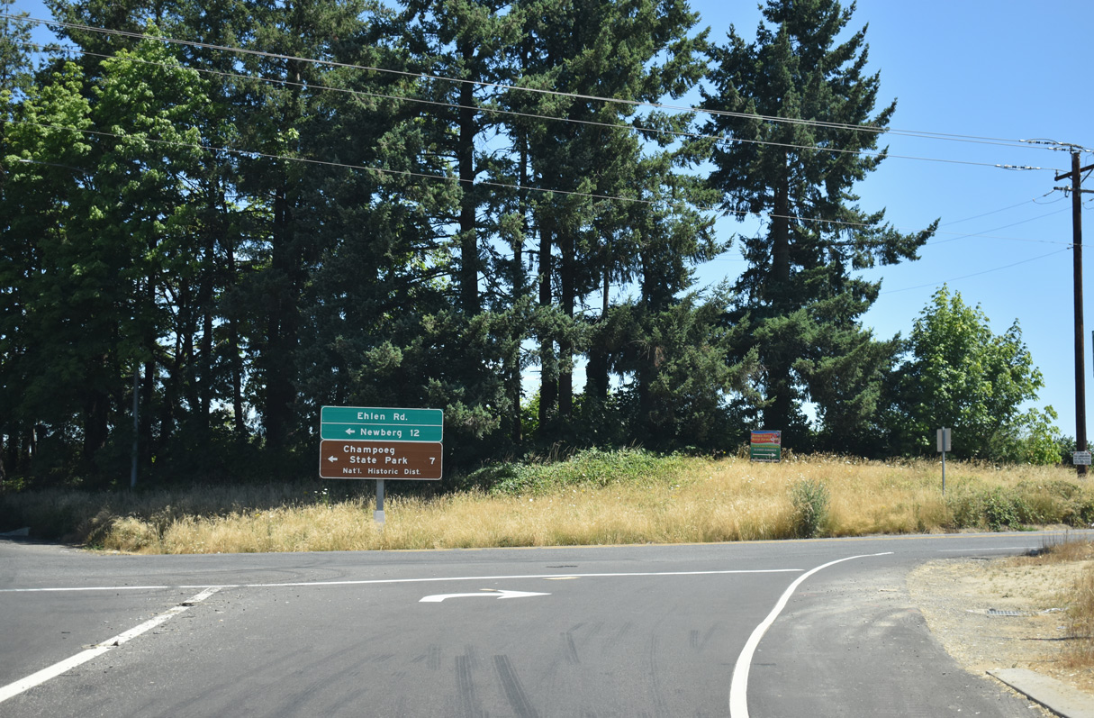
Ehlen Road connects Interstate 5 with the city of Aurora. Located 2.7 miles to the east, Aurora includes a National Historic District and is the location of the Old Aurora Colony Museum. Some of Oregon's oldest Euro-American sites are located in this part of the state.
07/16/23
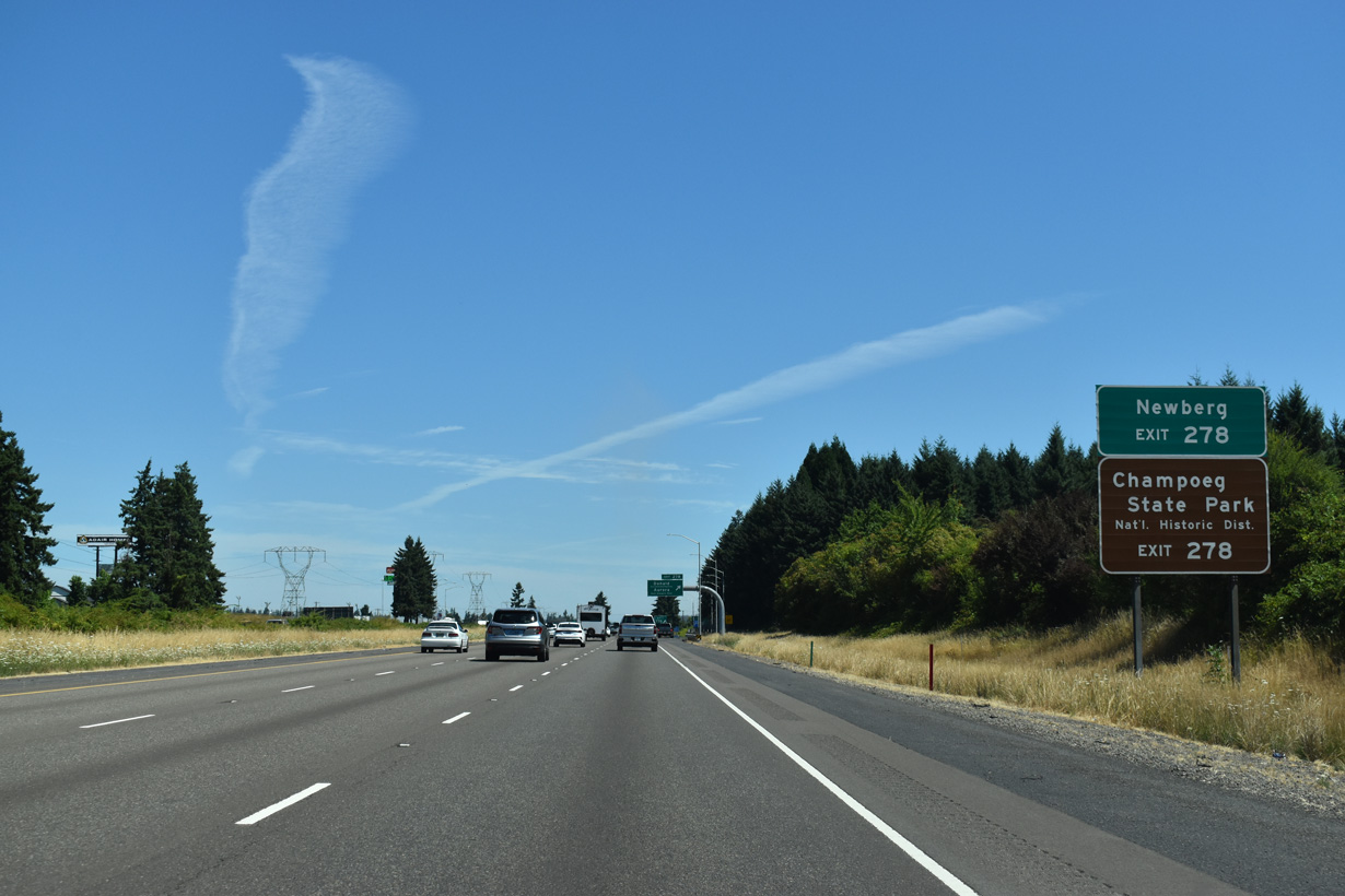
Also accessible from Exit 278 is another National Historic District, Champoeg State Park, located west of the freeway along the Willamette River. A French name, "Champoeg" is pronounced "sham-POO-ee".
07/16/23
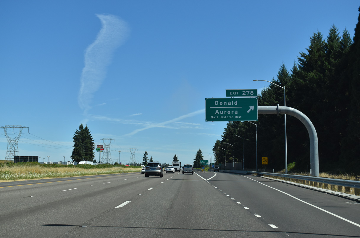
Northbound Interstate 5 enters the diamond interchange (Exit 278) with Ehlen Road to the northeast of the city of Donald.
07/16/23
Construction on a two phase project at Exit 278 got underway in 2022. Completed in 2023, Phase 1A lengthened and expanded the northbound off-ramp, added a soundwall, and realigned nearby Bents Road to a new signalized intersection with Ehlen Road (Oregon Department of Transportation, n.d.).
07/16/23
Construction for Phase 2A of the Aurora-Donald Interchange Project got underway in 2024 and runs through 2027. Work converts the exchange into a diverging diamond interchange while replacing the separate overpasses for I-5 with a single span. The remaining ramps are upgraded and the adjacent Ehlen Road intersection with Dolores Way is relocated to the east (Oregon Department of Transportation, n.d.).
07/16/23
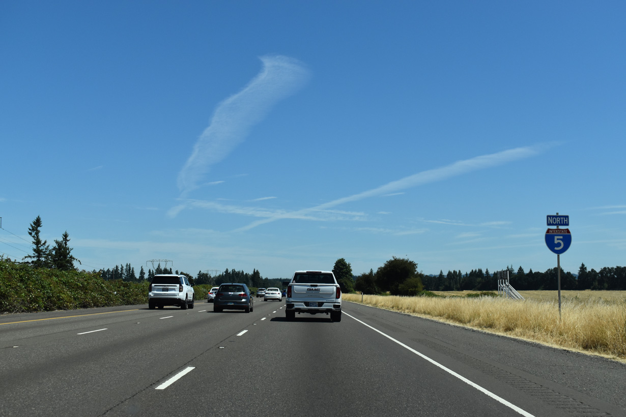
Interstate 5 advances northeast from Ehlen Road across French Prairie.
07/16/23
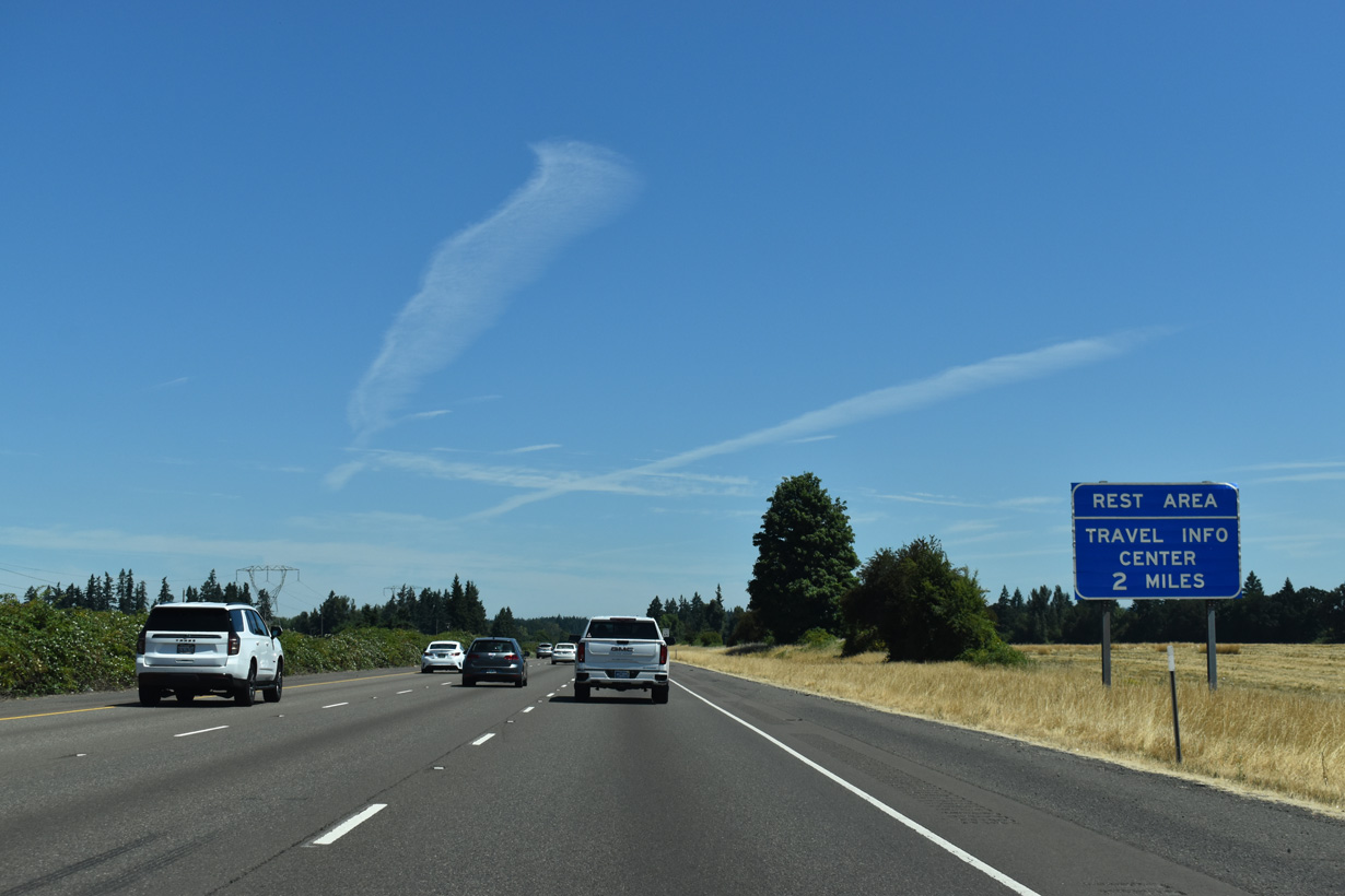
Not counting the off-freeway rest area at Valley of the Rogue State Park, the eight rest area along Interstate 5 northbound in Oregon follows in two miles at French Prairie.
07/16/23
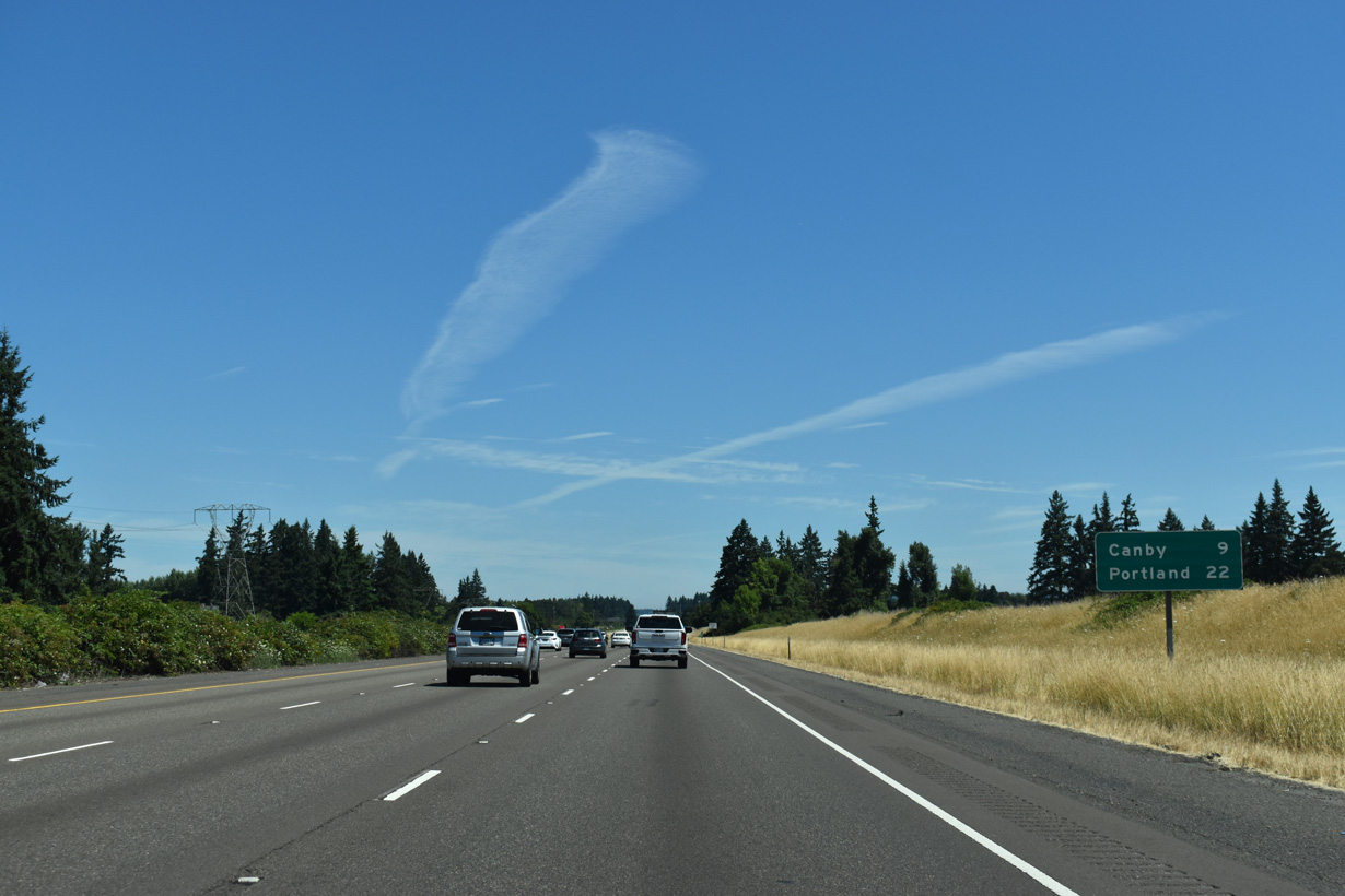
The next exit northbound references Canby, a city to the east accessed indirectly from Interstate 5 via area roads east. Portland is 22 miles away.
07/16/23
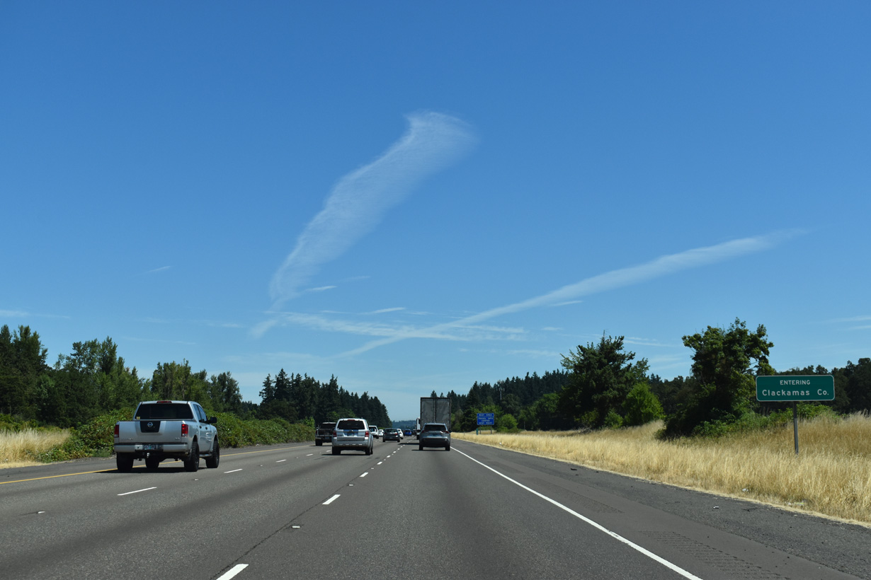
I-5 crosses into Clackamas County northeast of the Arndt Road over crossing.
07/16/23


References:
Oregon Department of Transportation. (n.d.). I-5: Aurora-Donald Interchange Project, Phase 1A. Retrieved from https://www.oregon.gov/odot/projects/pages/project-details.aspx?project=19062
Oregon Department of Transportation. (n.d.). Aurora-Donald Interchange Phase 2. Retrieved from https://www.oregon.gov/odot/Projects/pages/project-details.aspx?project=22505
Photo Credits:
- Brent Ivy: 07/16/23
- Matt Strieby: 05/22/06
- AARoads: 08/27/06
Page Updated Thursday August 21, 2025.