
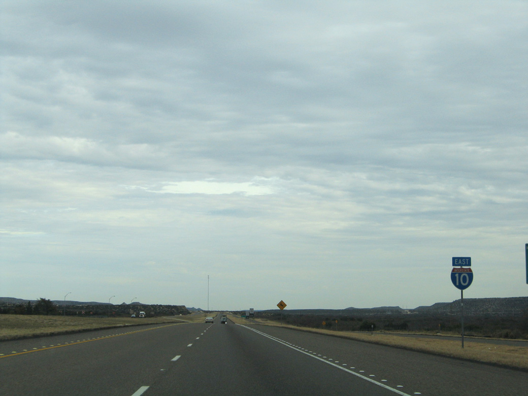
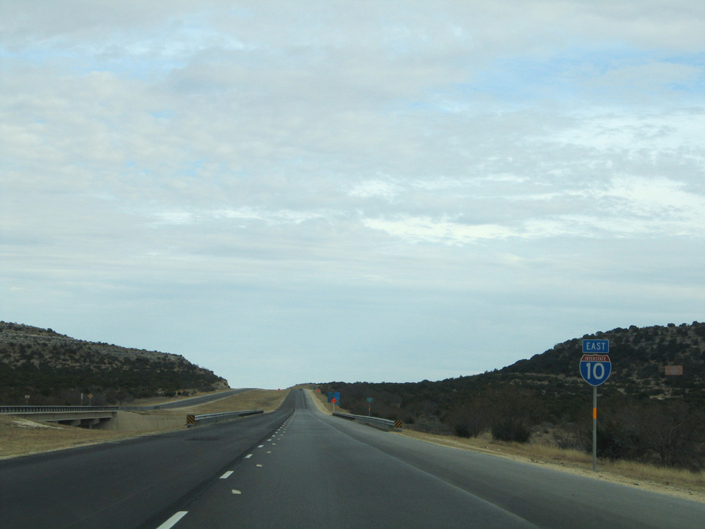
Interstate 10 East - Fort Stockton to Ozona

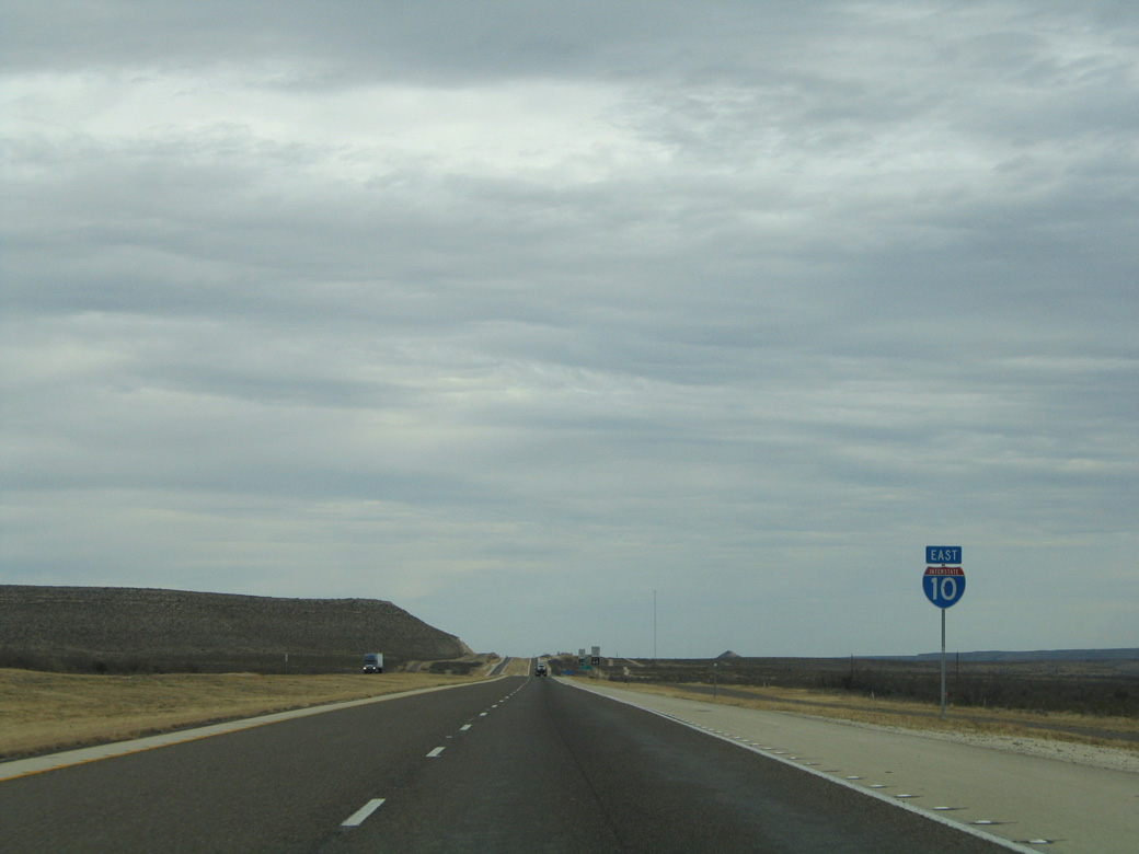
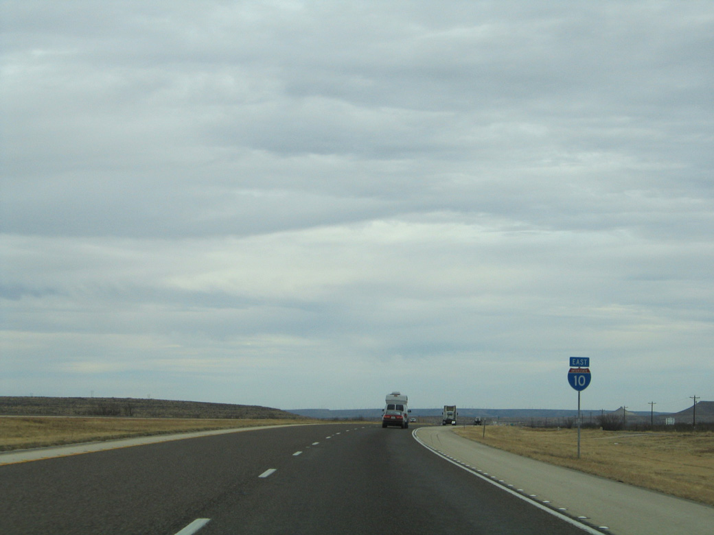
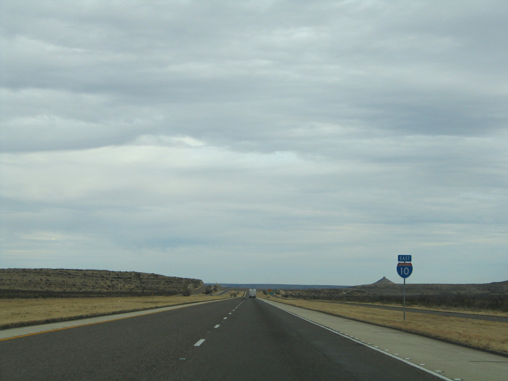
 East
East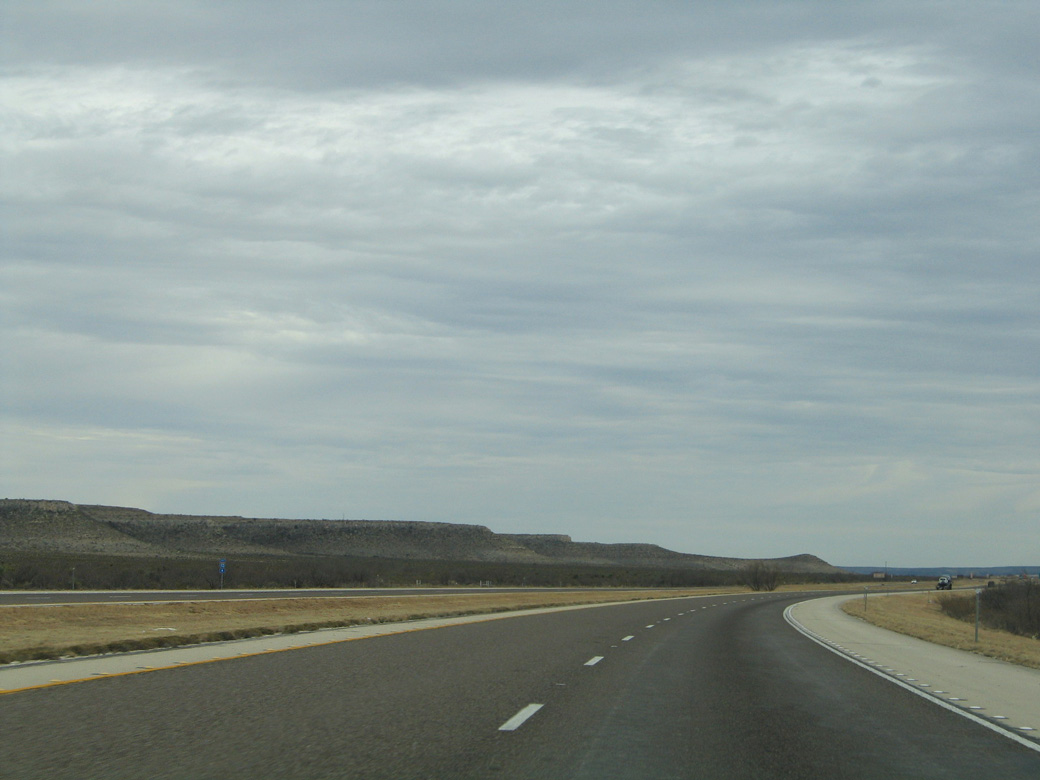
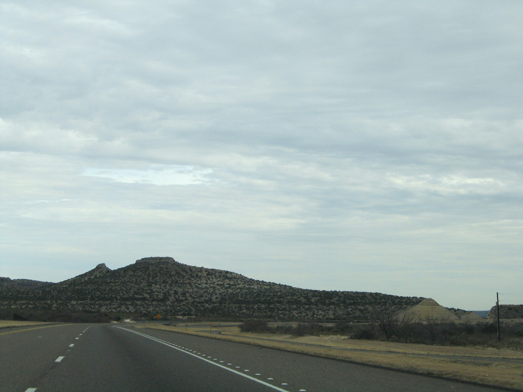
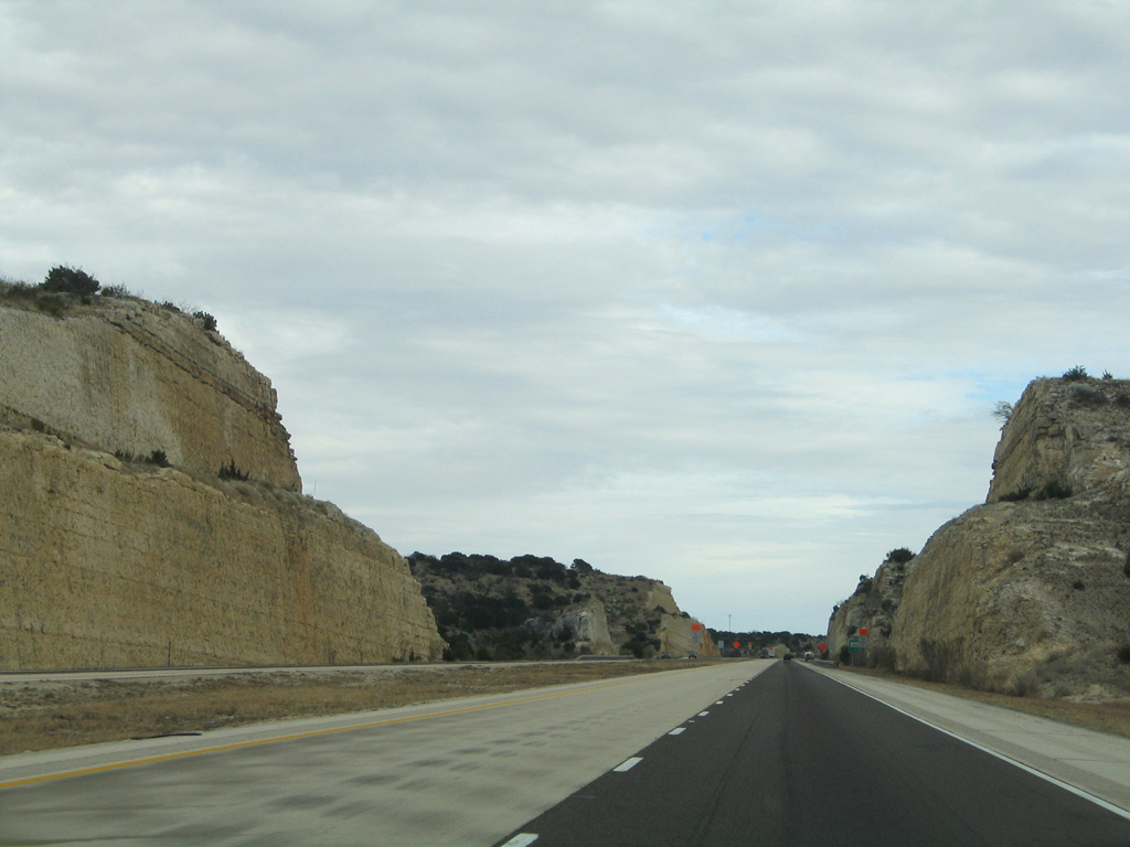
The succeeding 20 mile stretch of IH 10 after the split with U.S. 67/385 passes south of Big Mesa.
01/14/06

Exit 272 connects IH 10 with RM 2023 south to local ranches across Sixshooter Draw.
01/14/06
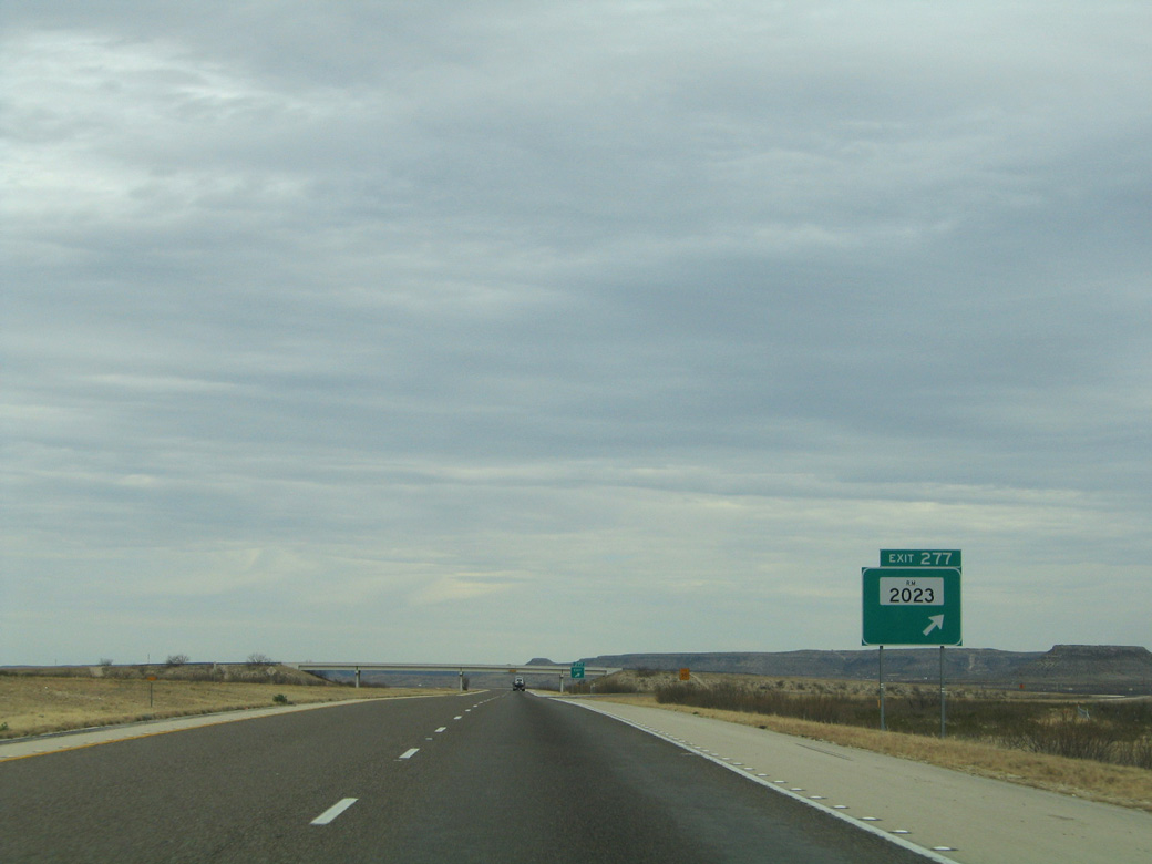
RM 2023 spurs 11.93 miles south from IH 10 to Puckett Road the Puckett Gas Field. TxDOT recorded just 84 vehicles per day along RM 2023 in 2017.
01/14/06
Confirming marker posted between RM 2023 and Tunas Creek.
01/14/06
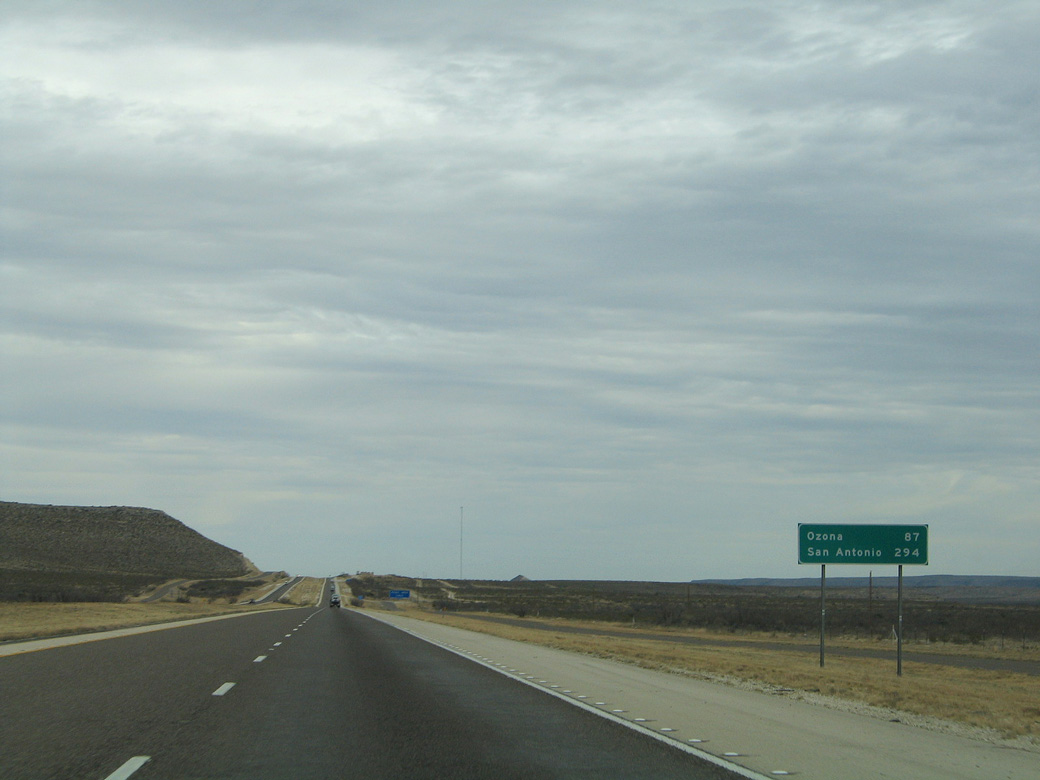
Ozona, seat of Crockett County, lies 87 miles to the east southeast.
01/14/06
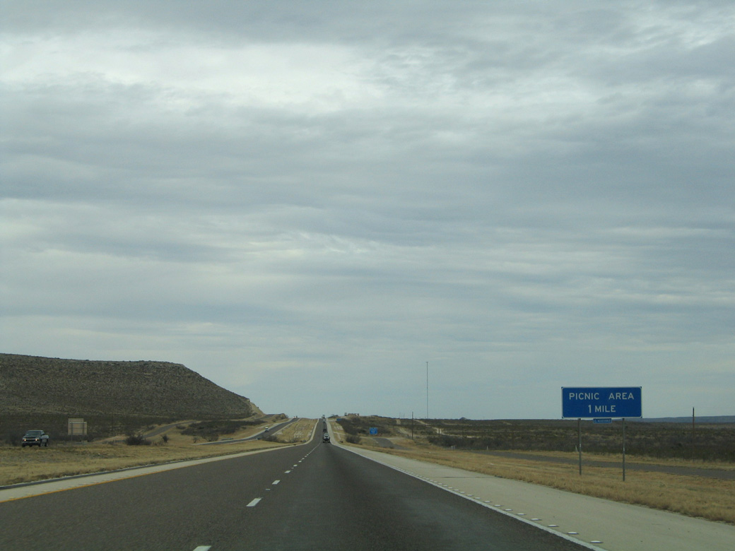
An eastbound picnic area overlooks the Tunas Creek and Monument Draw valley south of Big Mesa between mile marker 279 and 280.
01/14/06
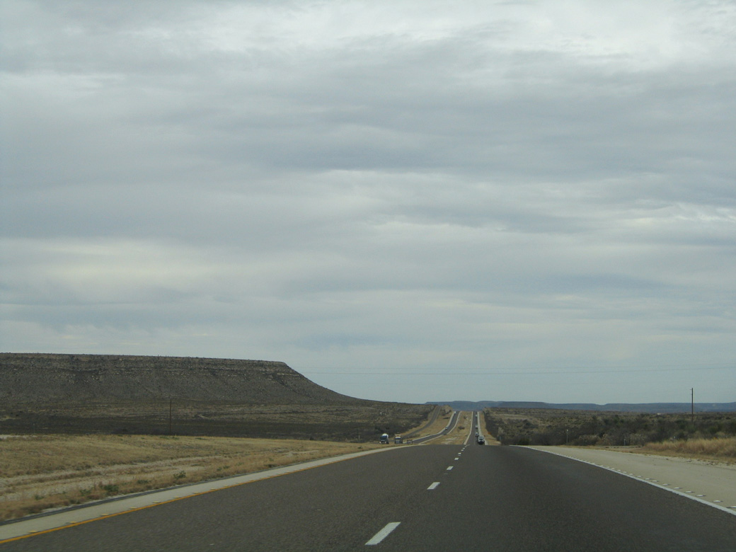
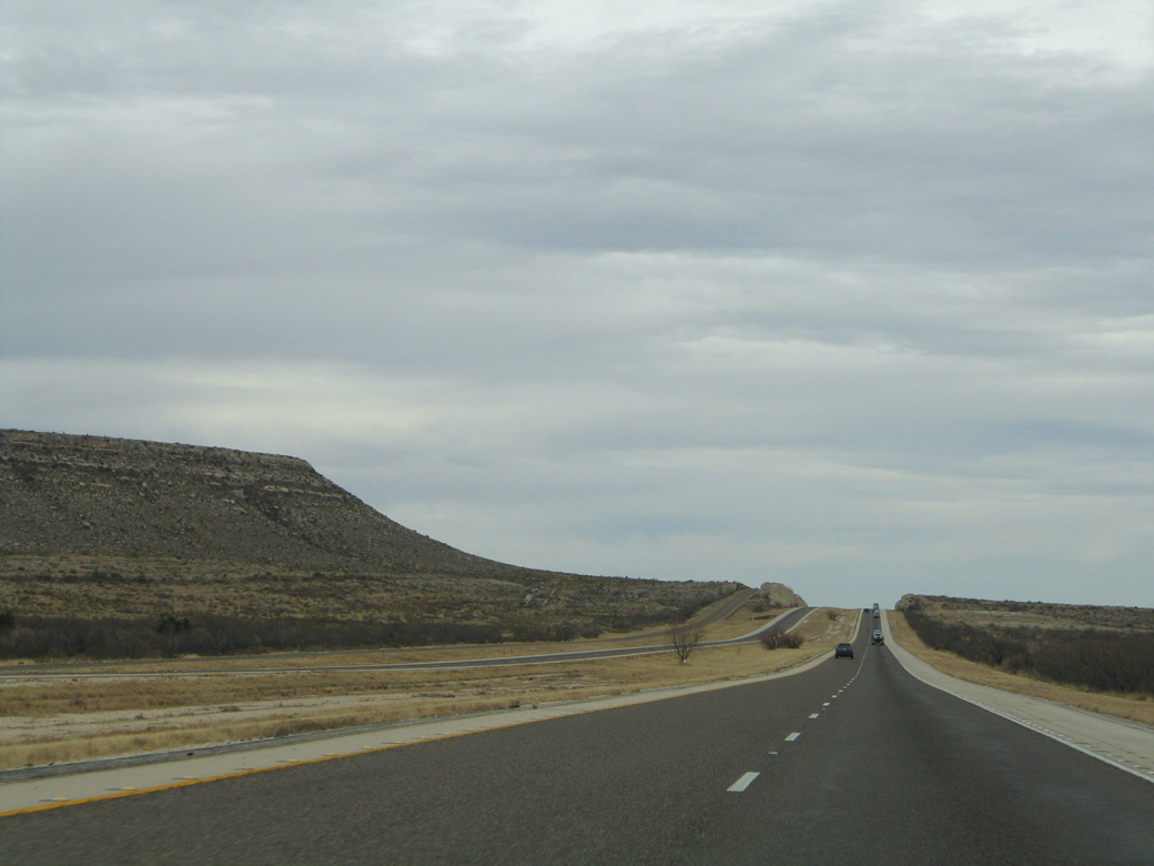
Continuing east, IH 10 cuts across southern slopes of Big Mesa around 2,840 feet above sea level.
01/14/06
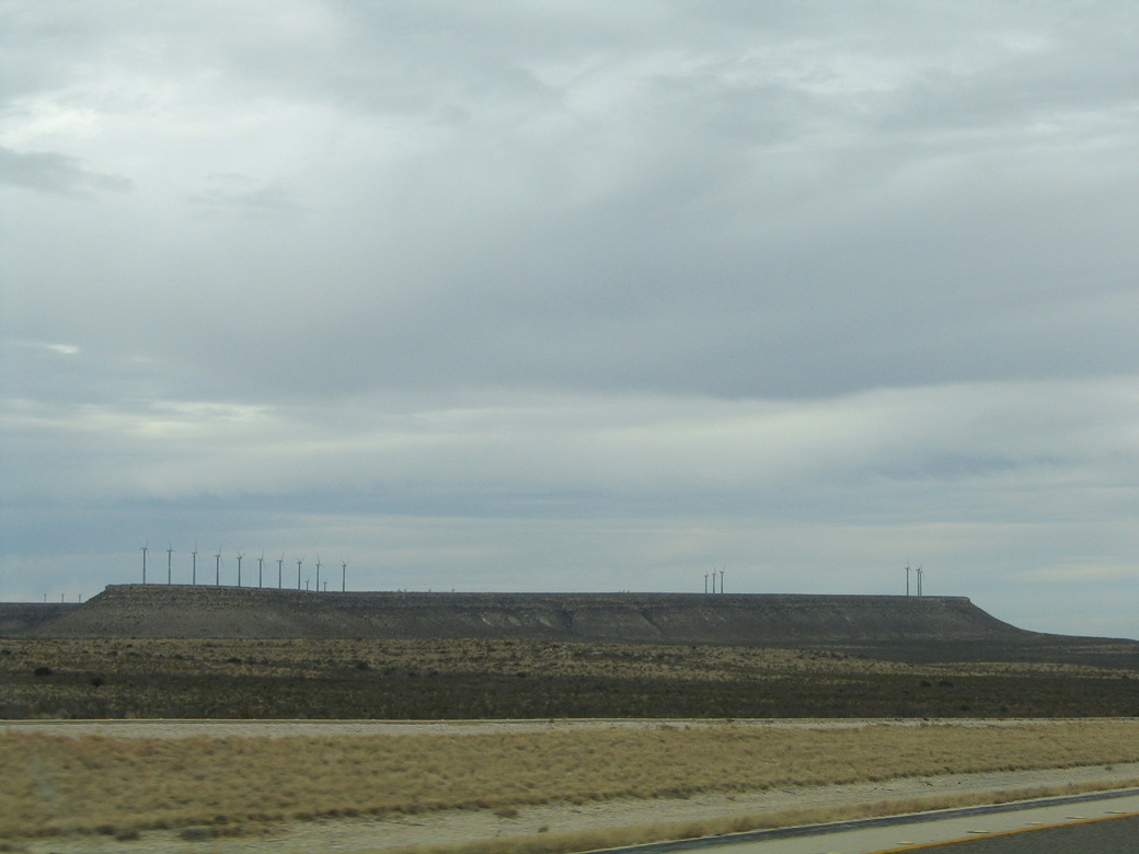
Portions of Big Mesa double as a wind farm.
01/14/06
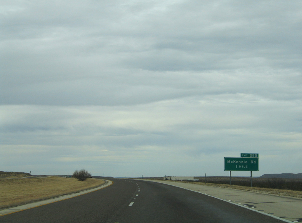
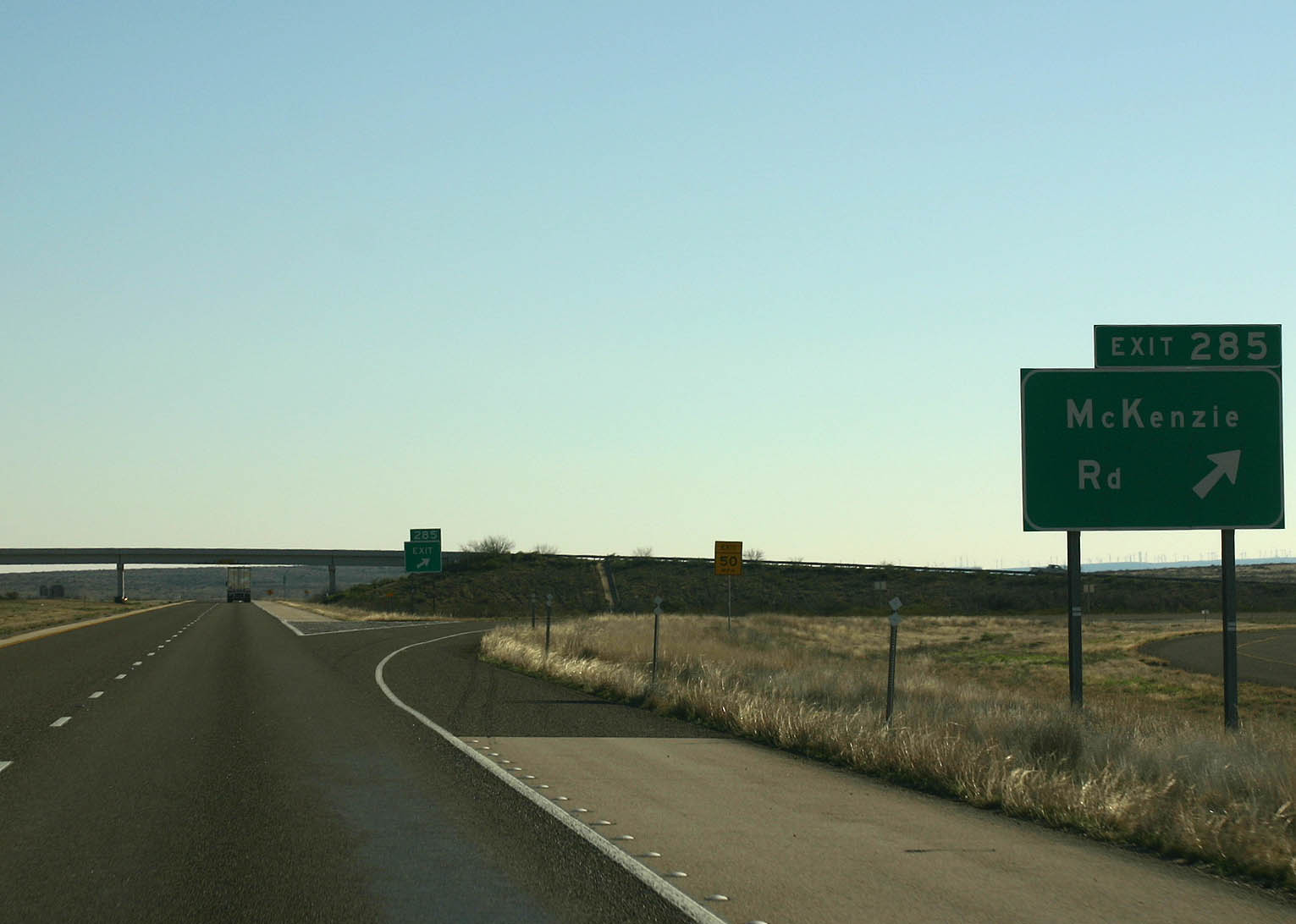
Exit 285 for McKenzie Road is a ranch exit located north of Darrels Peak and Tunas Creek and south of Big Mesa.
01/14/06
02/28/05
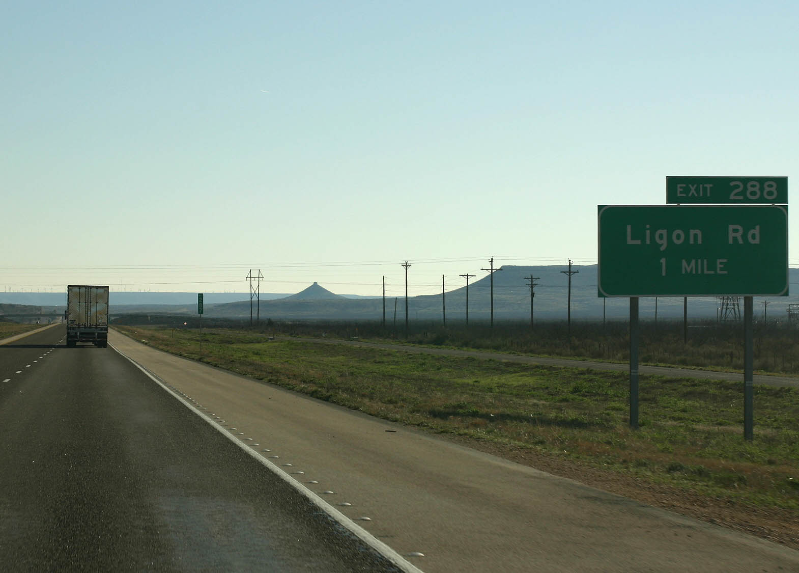
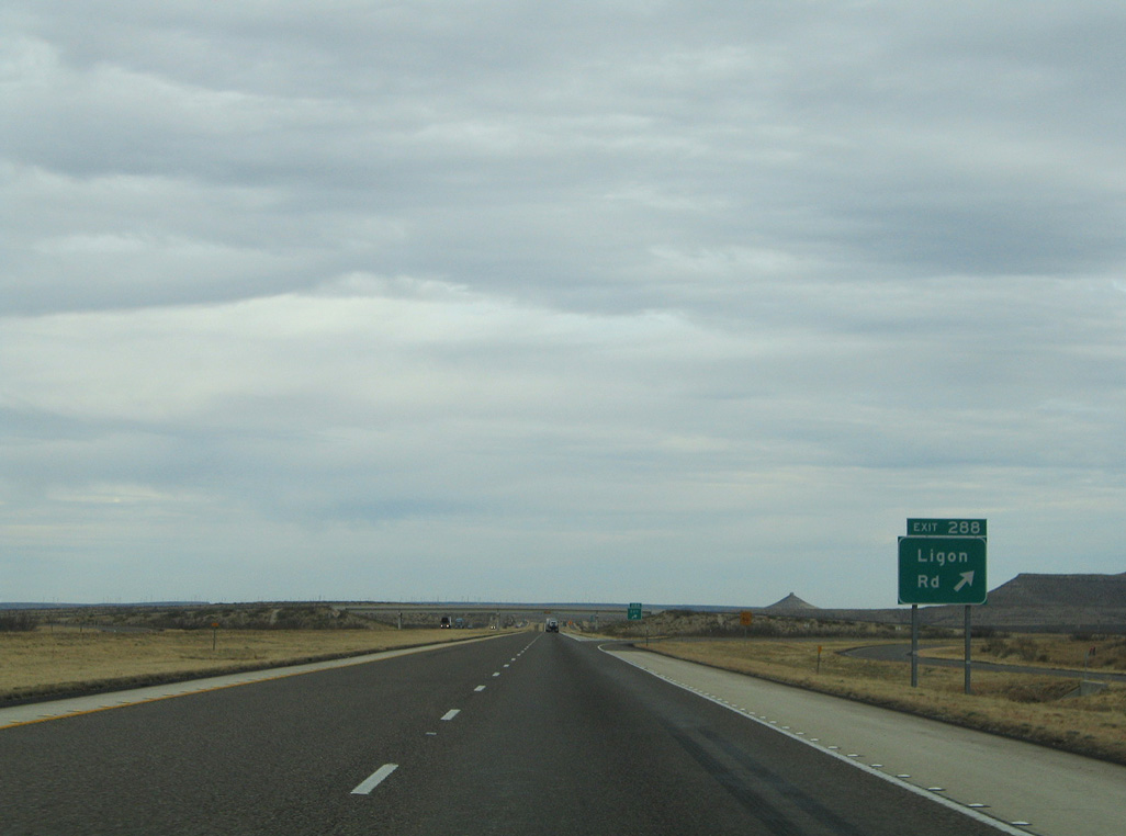
The ranch exit at Ligon Road follows McKenzie Road at Exit 288.
01/14/06
02/28/05
IH 10 converges with Tunas Creek again northwest of Hog Peak, 77 miles out from Ozona.
01/14/06
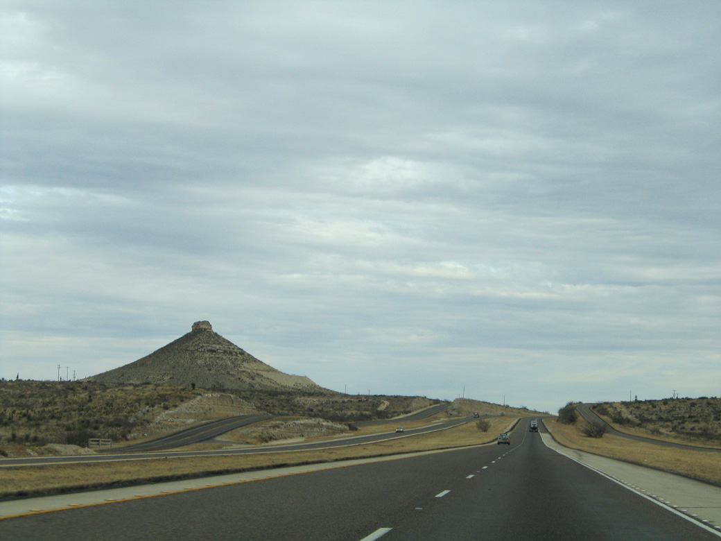
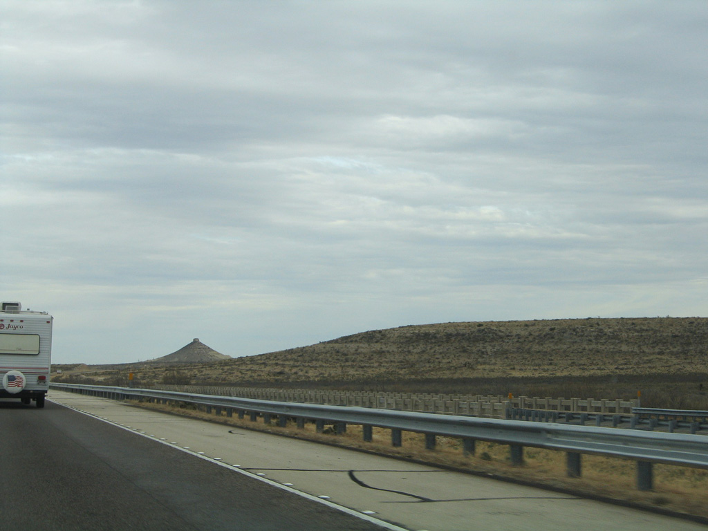
Squawteat Peak (el. 2,884 feet), omnipresent along IH 10 east for several miles, rises just north of the freeway outside Bakersfield. Old U.S. 290 separates from IH 10 here along a 3.17 mile section of SL 293.
01/14/06
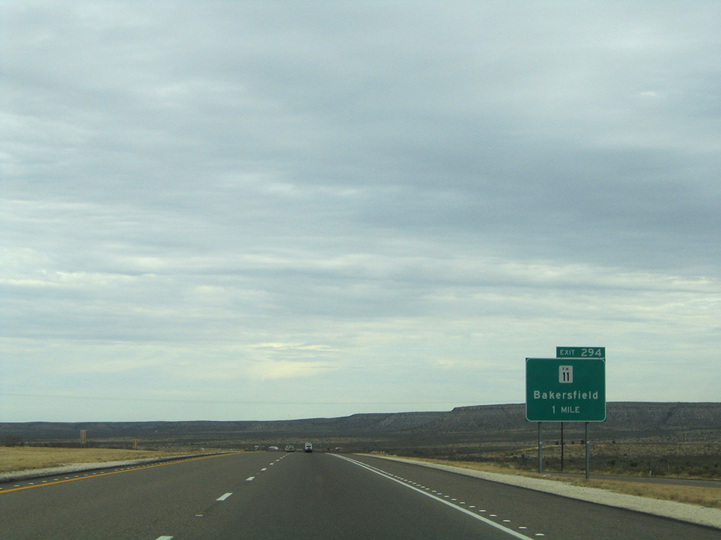
One mile ahead of RM 11 in Bakersfield. RM 11 runs from IH 10 at Bakersfield to U.S. 67/385 at Girvin.
01/14/06
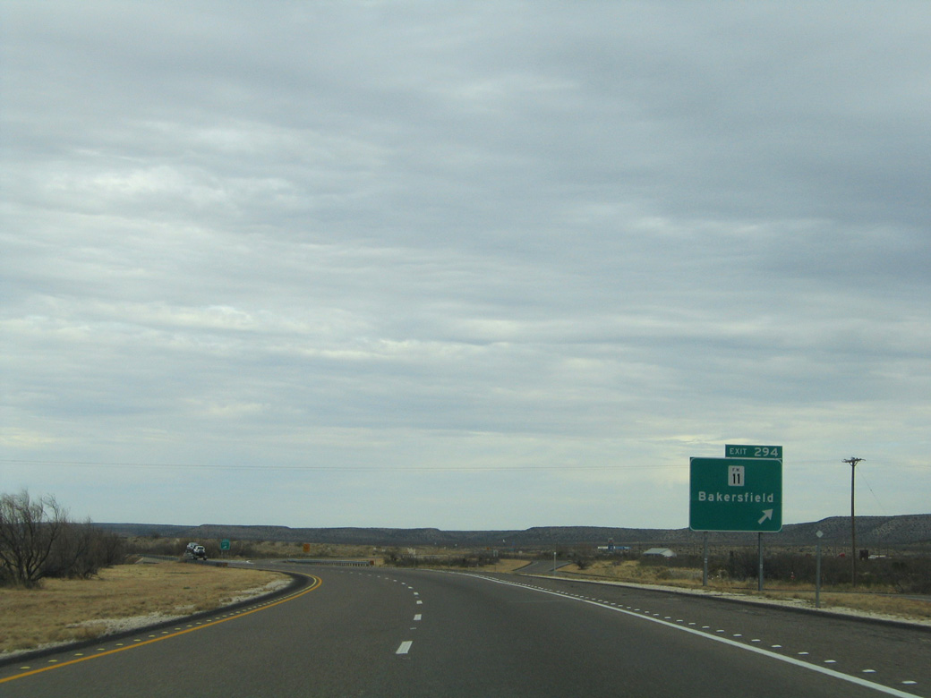
Bakersfield is a true boom and bust oil town. The unincorporated community, named after J.T. Baker, was founded in 1929 and peaked in 1930 with 1000 people. Population plummeted to 45 people after World War II. Today the population is less than 30.
01/14/06
Bending back to the north, IH 10 rejoins old U.S. 290 from the east end of SL 293.
01/14/06
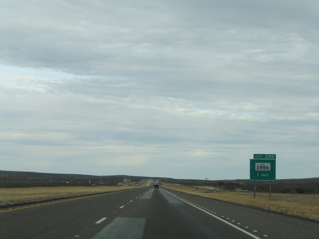
The next exit joins IH 10 eastbound with RM 2886. RM 2886 follows a winding course south 41.64 miles through remote areas to RM 2400, east of U.S. 285.
01/14/06
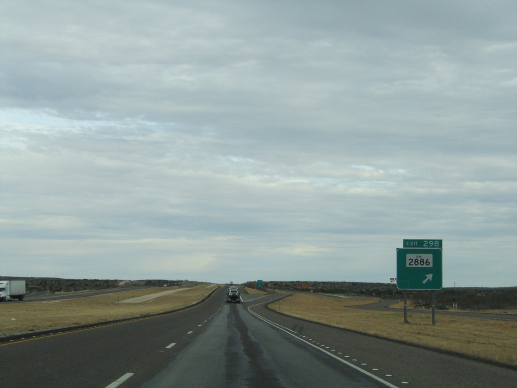
RM 2886 was first designated in 1963 and extended numerous times to the present-day terminus.
01/14/06
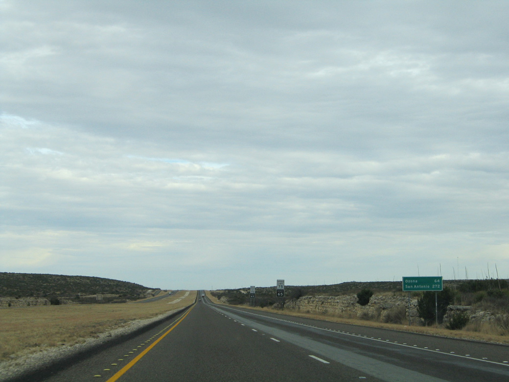
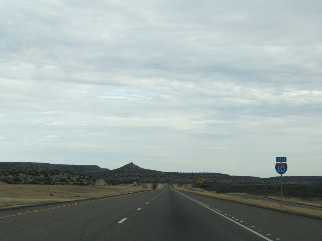
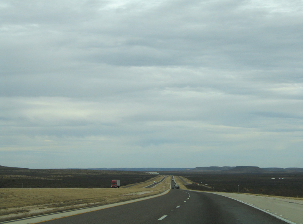
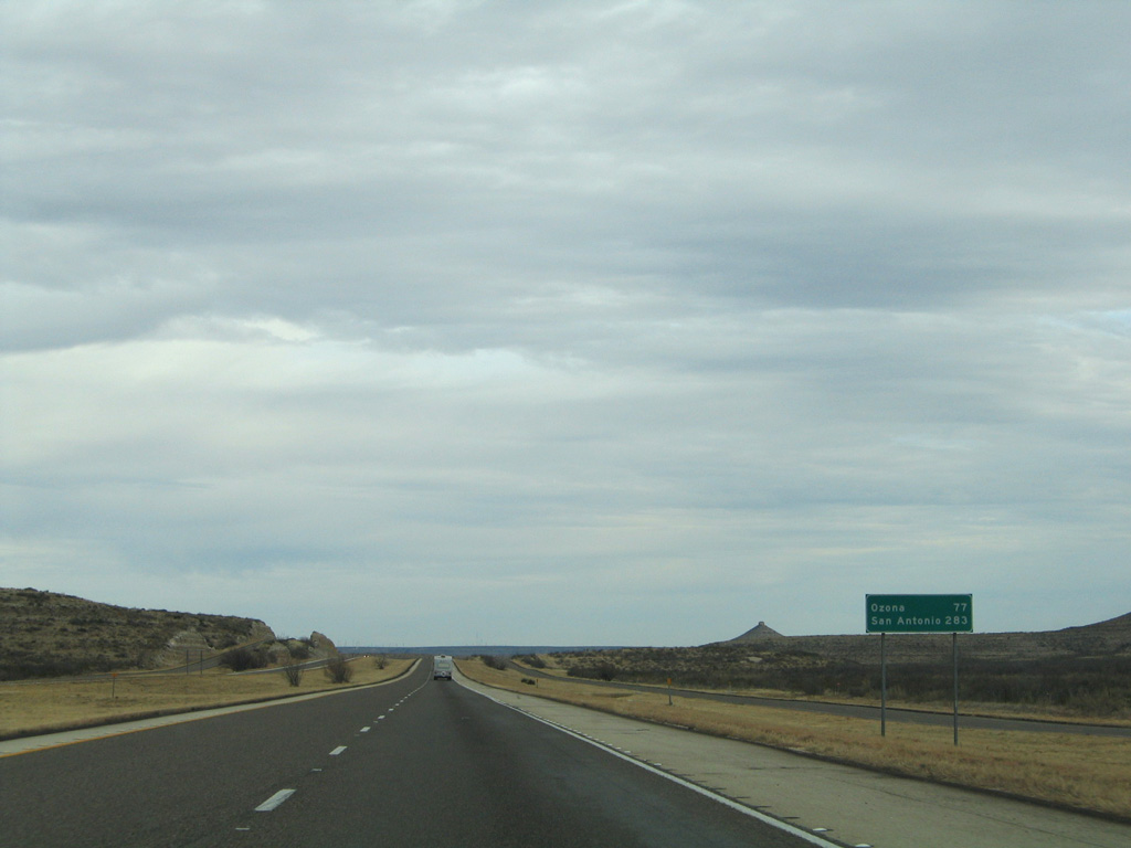
Passing by Indian Mesa, IH 10 trends southward 64 miles to Ozona and 272 miles to San Antonio.
01/14/06
Paralleling Upper Fourmile Draw, IH 10 approaches the west end of U.S. 190. U.S. 190 travels 588 miles across the Lone Star State, from Exit 307 to Killeen, Temple, Bryan and the Louisiana state line at the Sabine River.
01/14/06
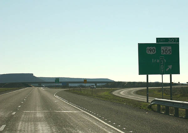
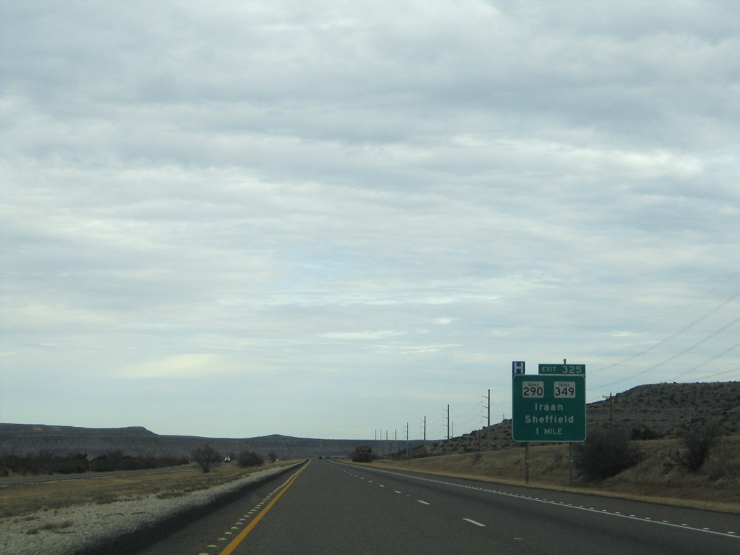
U.S. 190 arcs eastward 9.72 miles to FM 305 and 14 miles into the city of Iraan. FM 305 branches northwest 19.52 miles from U.S. 190 to U.S. 67 and 385 at McCamey.
02/28/05
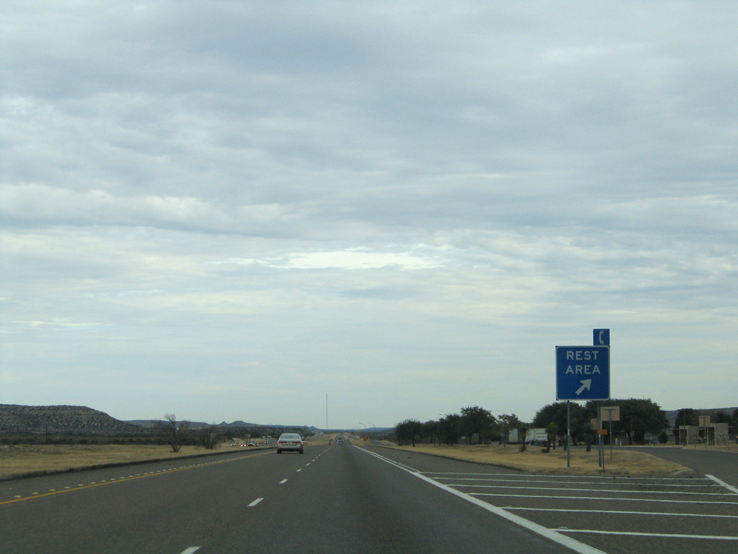
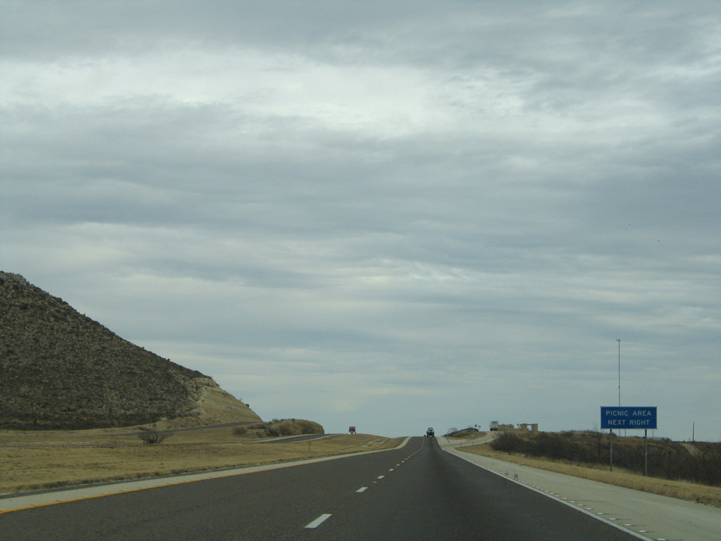
Rest areas are located on both sides of IH 10 to the immediate east of U.S. 190.
01/14/06
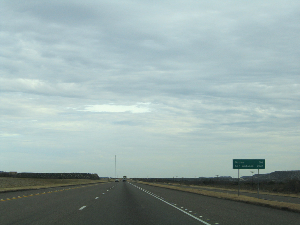
IH 10 remains alongside Fourmile Draw southeast to the Pecos River. The freeway reaches Ozona in 56 miles and San Antonio in 262 miles.
01/14/06
IH 10 and parallel old U.S. 290 navigate through an S-curve and rock cut at mile marker 314.
01/14/06
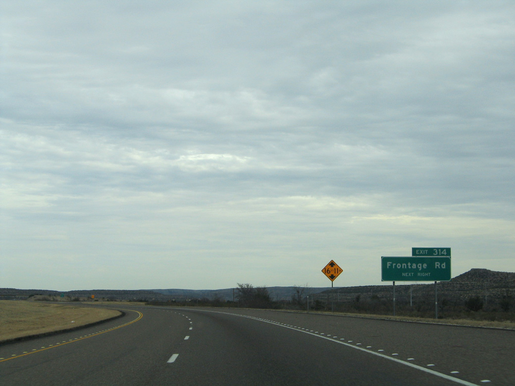
Exit 314 joins IH 10 with old U.S. 290 / Frontage Road at ranch areas.
01/14/06
Through eastern Pecos County, IH 10 makes a gradual descent, lowering from around 2,400 feet above sea level at Exit 314 to 2,270 feet at upcoming Exit 320.
01/14/06
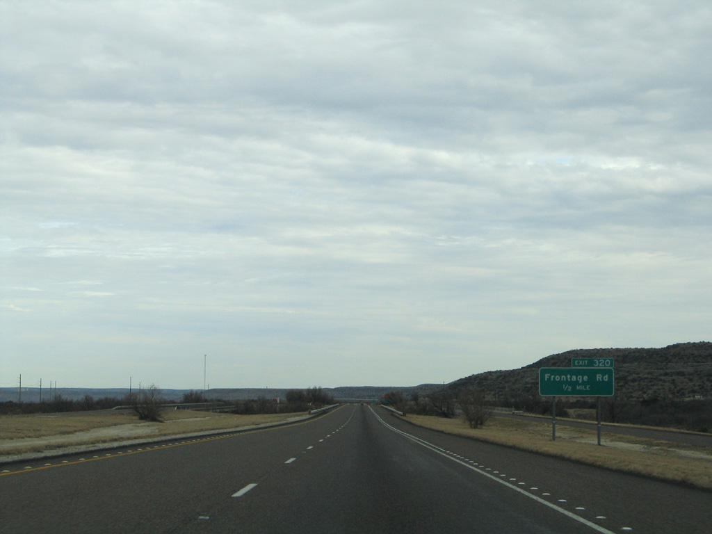
IH 10 crosses Fourmile Draw ahead of the diamond interchange at Exit 320.
01/14/06
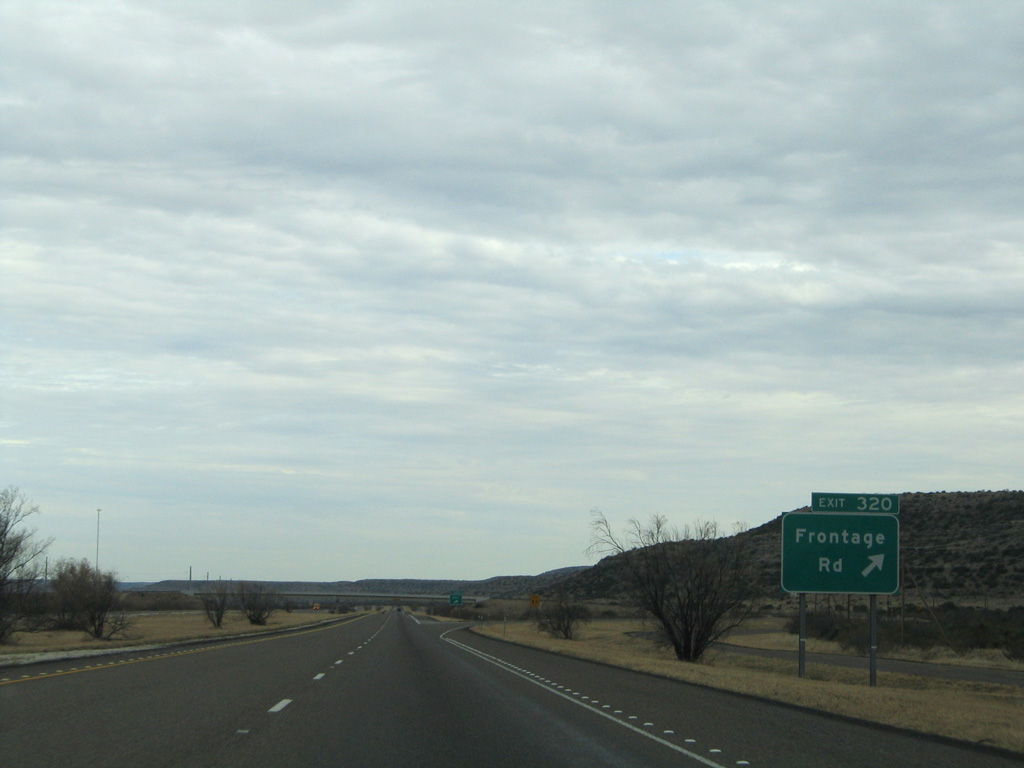
Exit 320 leaves IH 10 east for the Frontage Road (old U.S. 290). The Frontage Road exits provide access to the freeway as planned under TxDOT policies, to satisfy state law that access rights be provided along roads or purchased from the property owner.
01/14/06
Reassurance shield posted after Exit 320.
01/14/06
The Sheffield bypass was one of the last sections of IH 10 to be constructed in Texas. The old road is designated SH 290, a 24.30 mile, lightly traveled route east to the old town of Sheffield and Fort Lancaster State Historic Site.
01/14/06
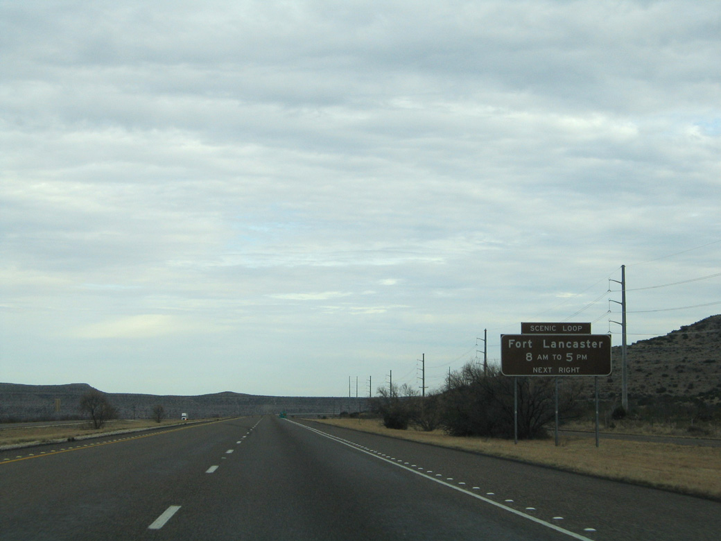
Fort Lancaster lies midway between the ends of SH 290 at IH 10 in western Crockett County. Fort Lancaster was established to protect the El Paso-San Antonio road in 1855.
01/14/06
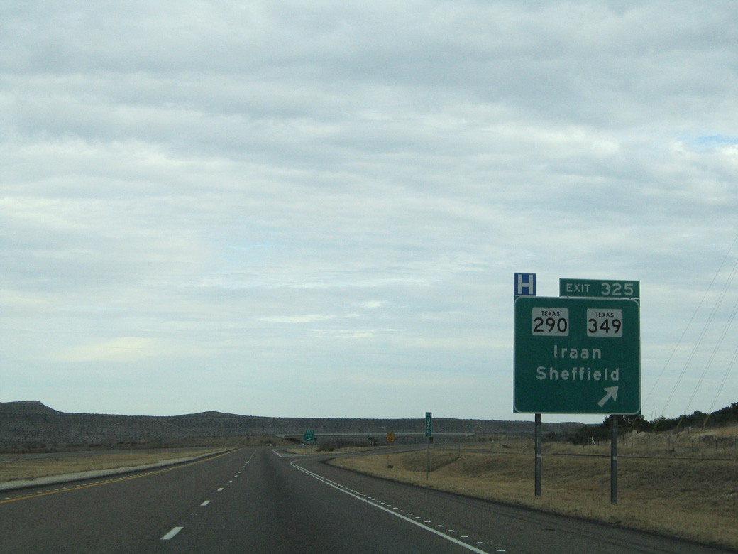
SH 349 ties into the exchange with SH 290 east from the north. The state highway runs 13.29 miles to U.S. 190 at Iraan and 40 miles to Rankin alongside U.S. 67.
01/14/06
SH 290 makes an S-curve south from IH 10 into Sheffield while the freeway turns east toward the Crockett County line and Ozona.
01/14/06
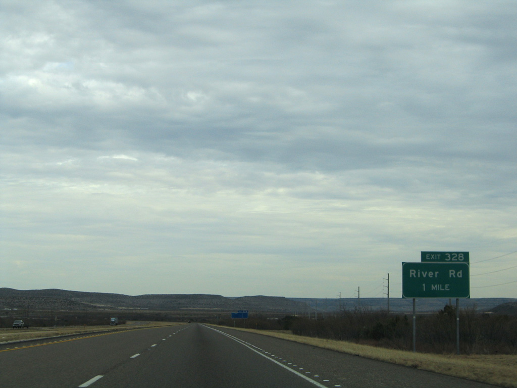
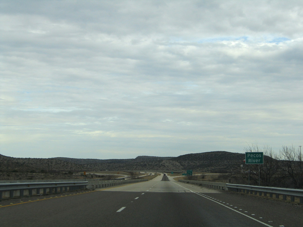
IH 10 spans the Pecos River and Crockett County line ahead of the diamond interchange (Exit 328) with River Road.
01/14/06
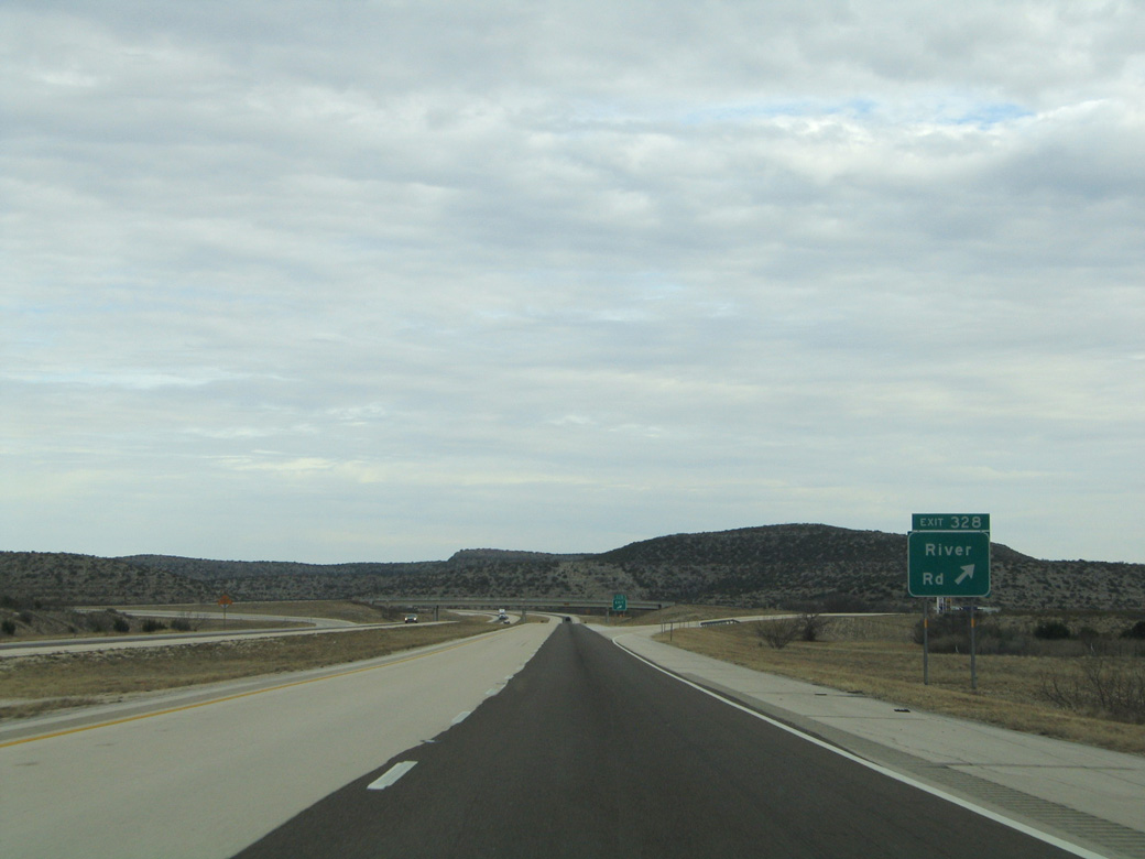
River Road parallels the Pecos Road along a 10.24 mile course south to SH 290 and north to Deer Canyon Road.
01/14/06
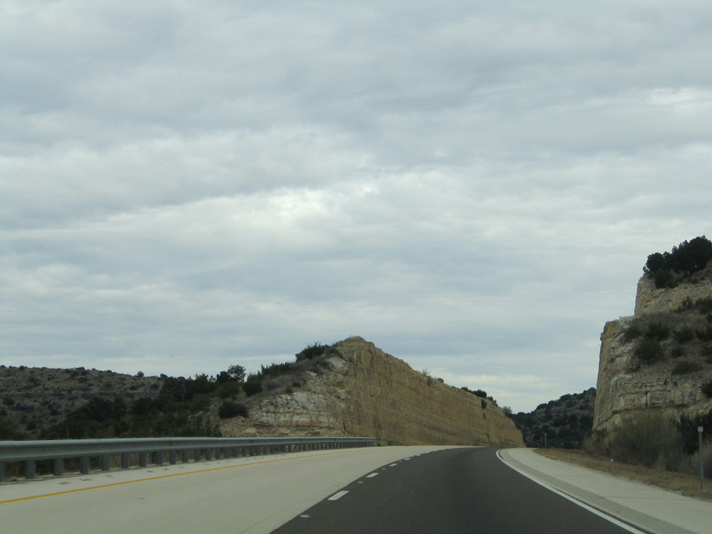
IH 10 traverses areas of Musk Hog Canyon to the south of the Halff Oil Field on the climb out of the Pecos River valley.
01/14/06
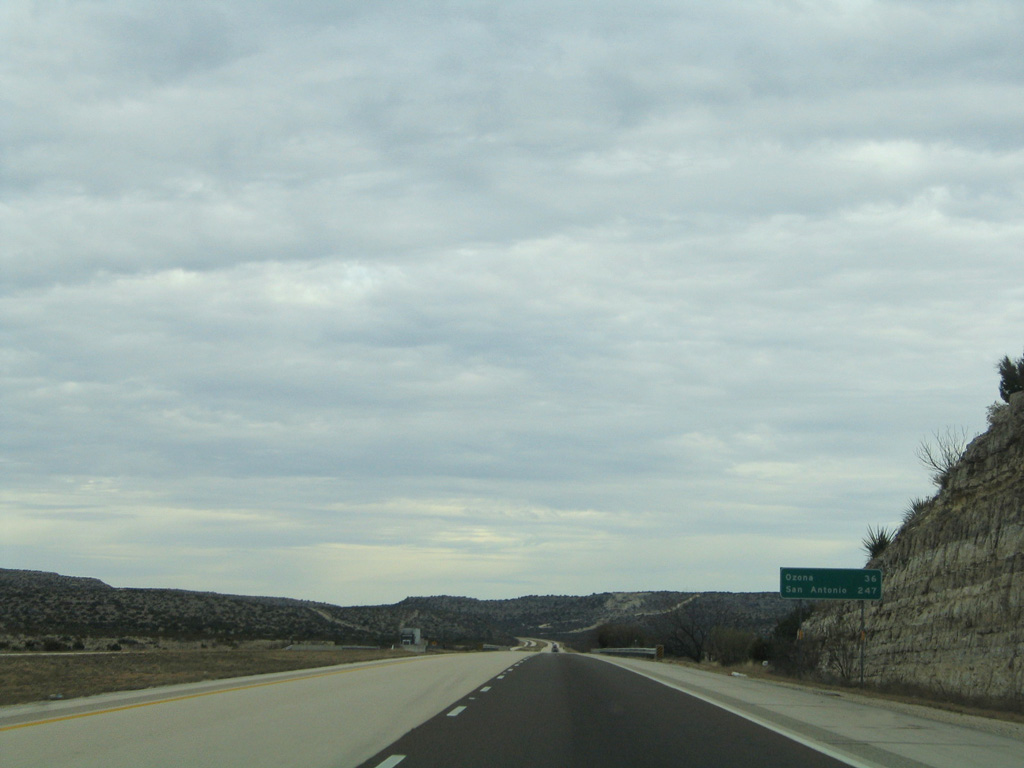
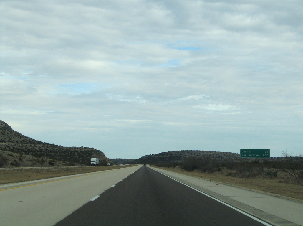
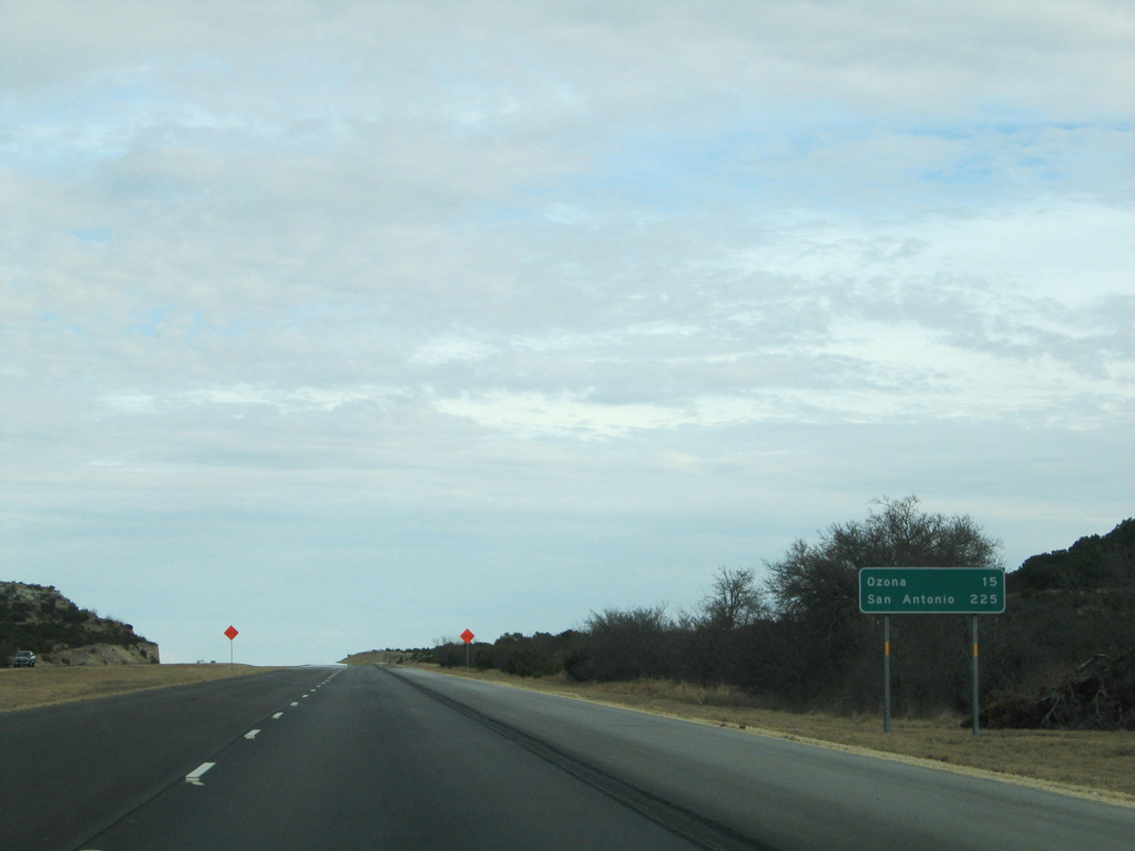
Travelers along IH 10 reach the unincorporated community of Ozona 36 miles east of the Pecos River and San Antonio in 247 miles.
01/14/06
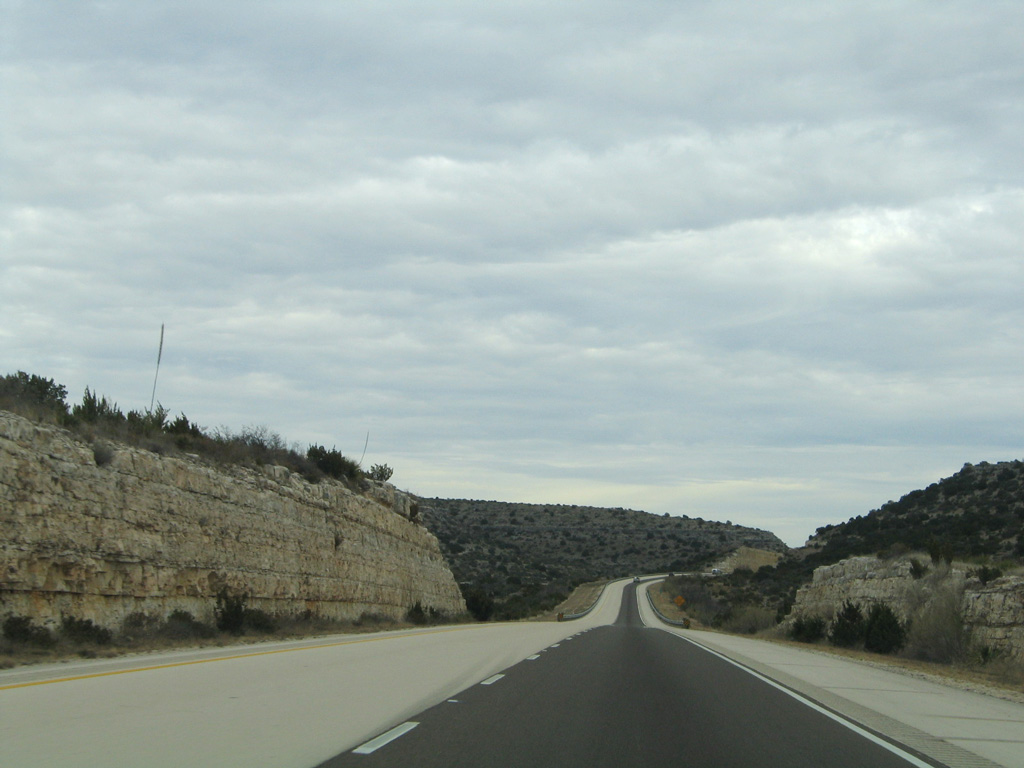
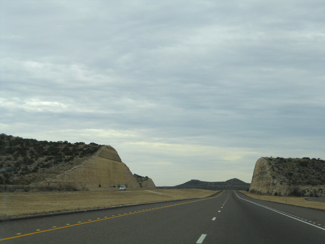
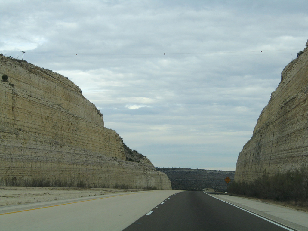
IH 10 advances east through a series of extensive limestone road cuts from Musk Hog Canyon to J M Canyon. Constructed between 1979-81, this portion of IH 10 avoided the steep grades along SH 290 to the south.
01/14/06
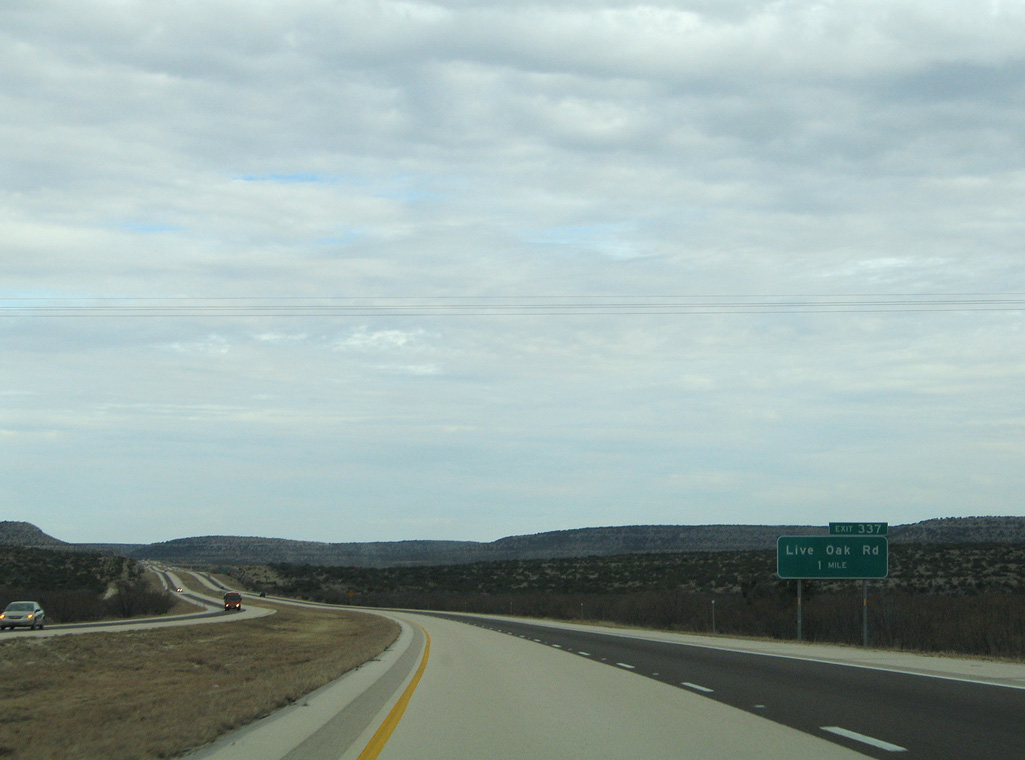
Emerging from J M Canyon, IH 10 lowers ahead of Live Oak Creek and Exit 337.
01/14/06
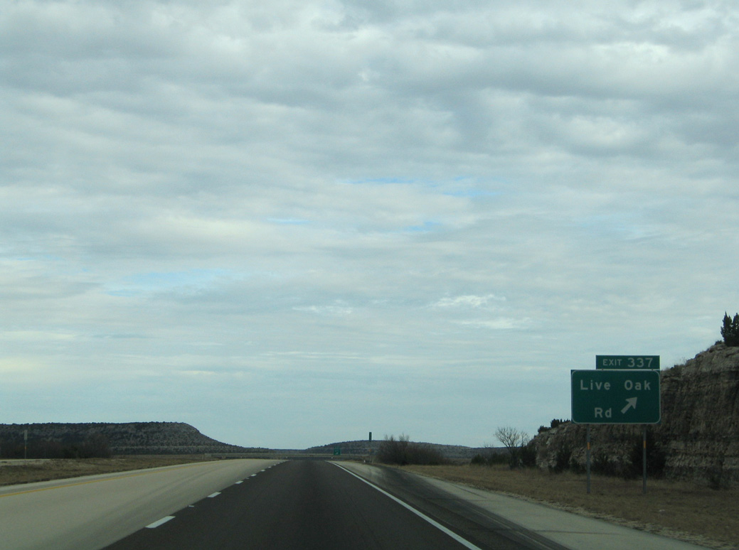
Live Oak Road is an unpaved road leading south to SH 290 near Fort Lancaster and north along Live Oak Creek to Deer Canyon Road and Olson Oil Field.
01/14/06
Posted 27 miles out from Ozona, this distance sign precedes a roadway separation for IH 10 ahead of Mailbox Draw.
01/14/06
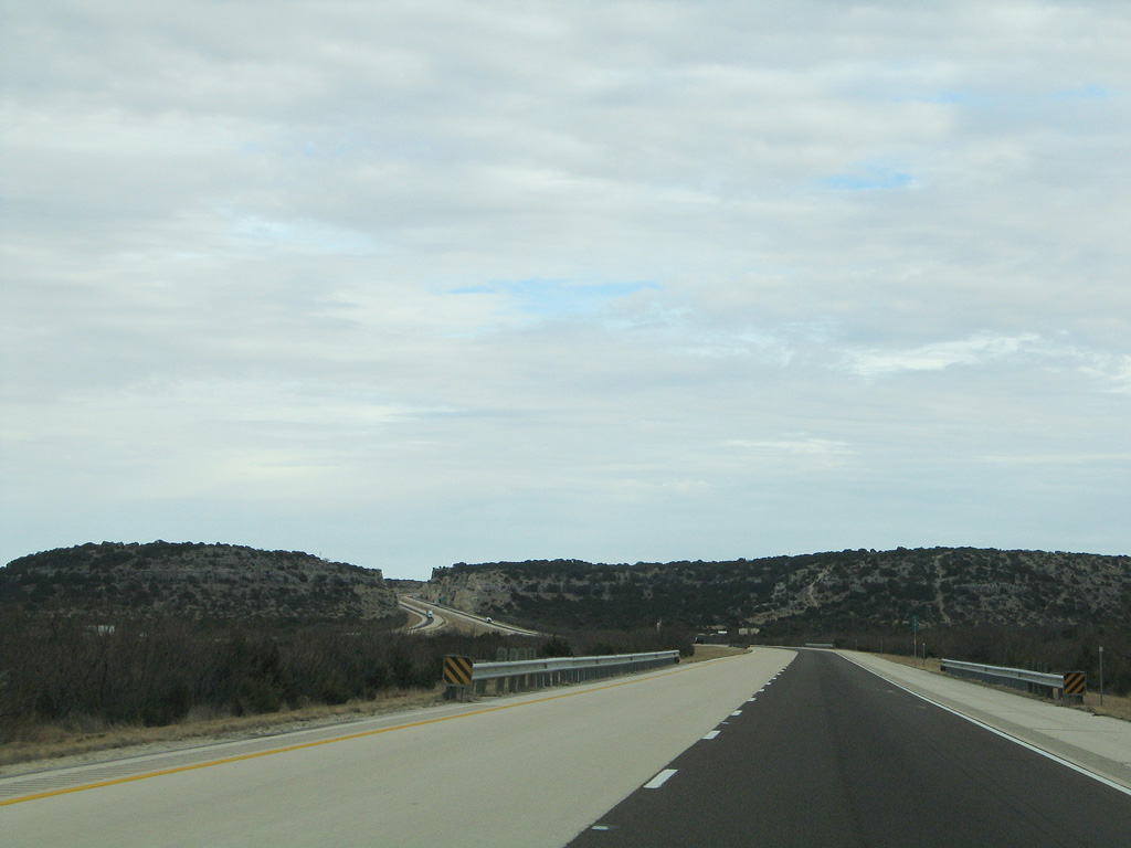
The IH 10 roadways converge ahead of a mesa beyond Mailbox Draw. The freeway ascends nearly 400 feet in elevation on this section.
01/14/06
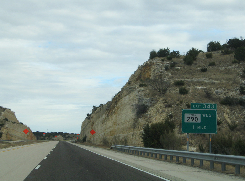
SH 290 rejoins Interstate 10 at Exit 343 in one mile.
01/14/06
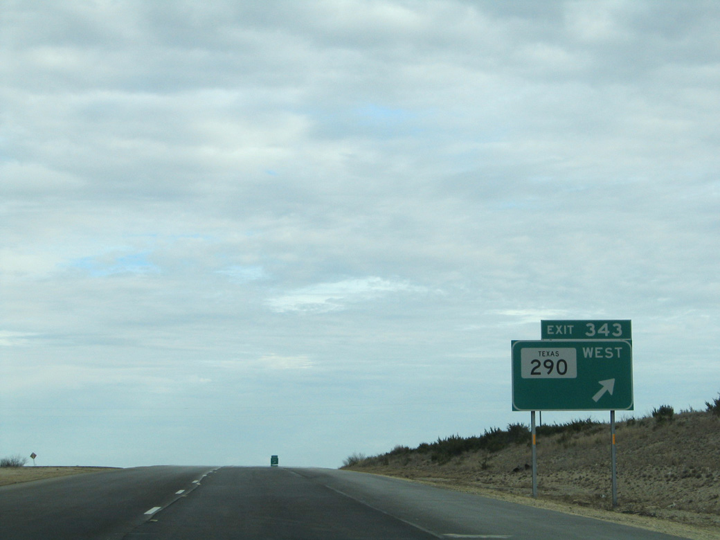
Exit 343 departs IH 10 east for SH 290 west back to Fort Lancaster and Sheffield. Old U.S. 290 east dead ends at IH 10 on Bachelor Hill.
01/14/06
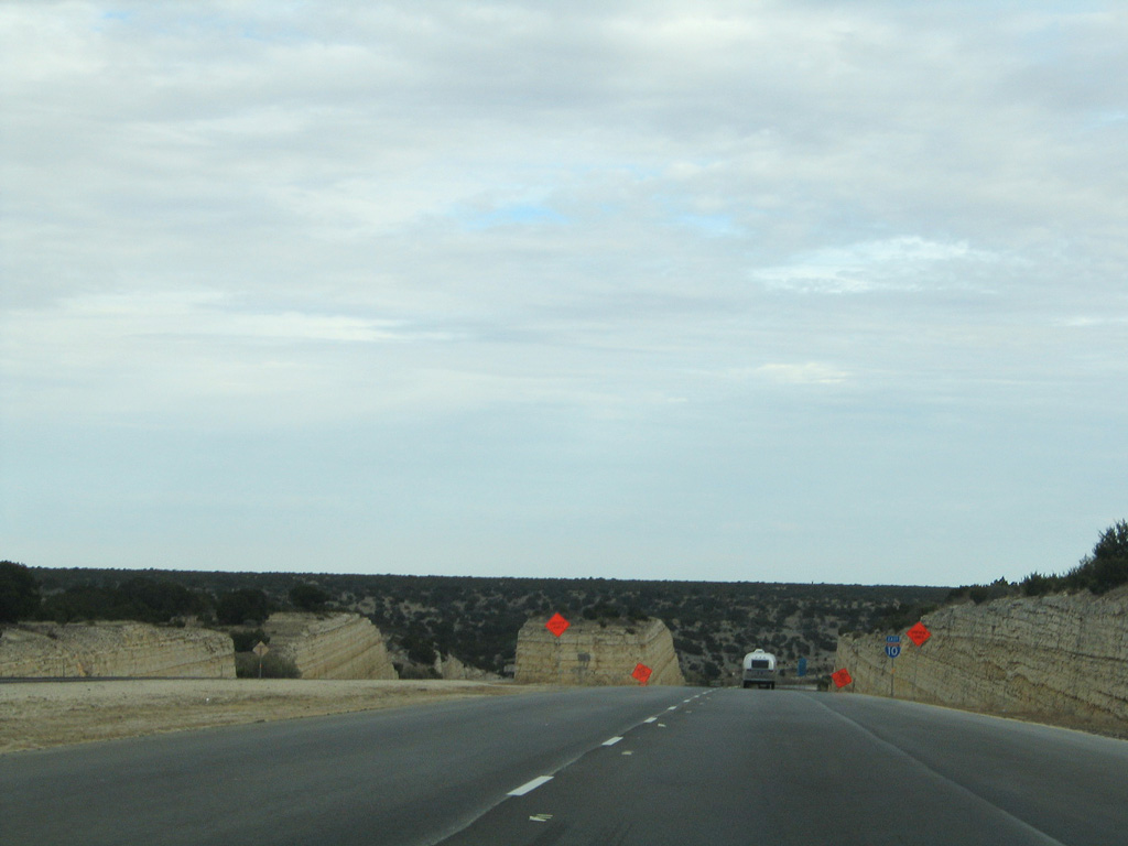
IH 10 passes through an additional limestone rock cuts as it circumvents Bachelor Hill, 21 miles from Ozona.
01/14/06
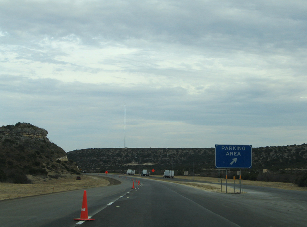
The freeway roadways separate again at Bachelor Hill and an eastbound side parking area.
01/14/06
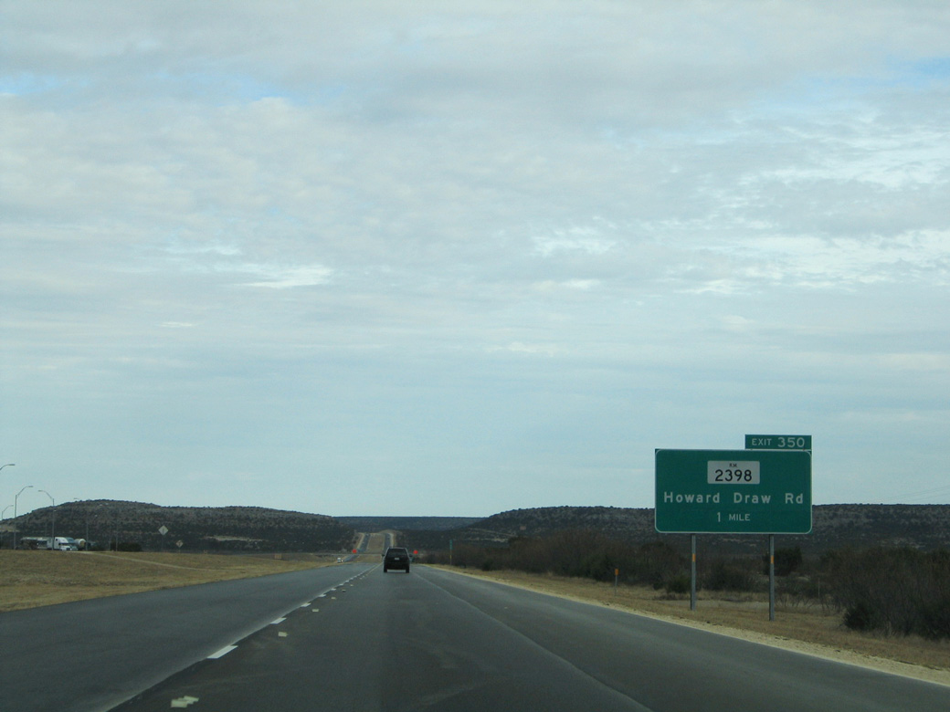
Howard Draw Road north and RM 2398 west come together at a diamond interchange (Exit 350) with IH 10 near Pikes Peak.
01/14/06

RM 2398 links IH 10 with old U.S. 290 to the north. Following former U.S. 290, RM 2398 runs 15.00 miles east from Exit 350 to the outskirts of Ozona. Howard Draw Road extends 17.58 miles south to RM 2803 at Government Canyon.
01/14/06
Confirming marker posted eastbound at Howard Draw.
01/14/06
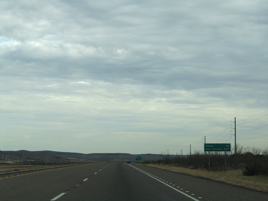
IH 10 climbs to 2,370 feet above sea level by Pikes Peak and continues 15 miles to Ozona. San Antonio follows in 210 miles.
01/14/06
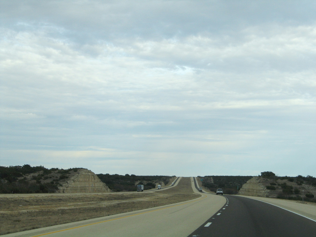
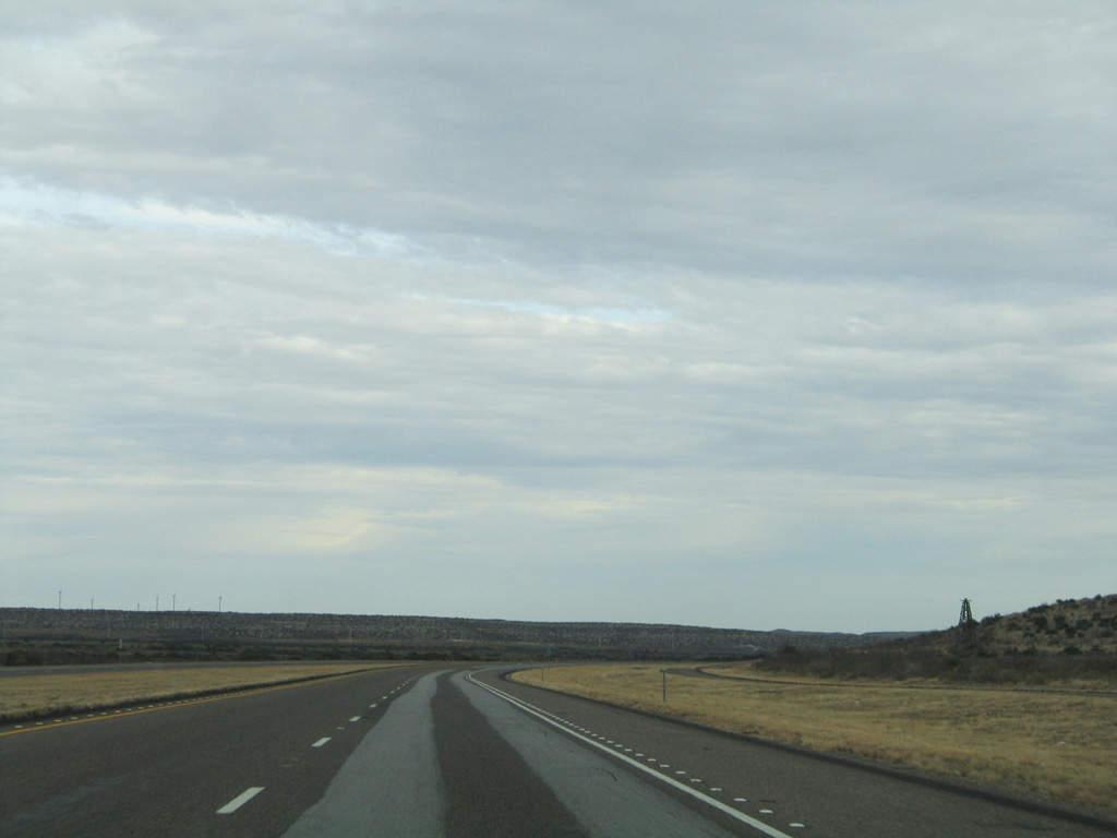
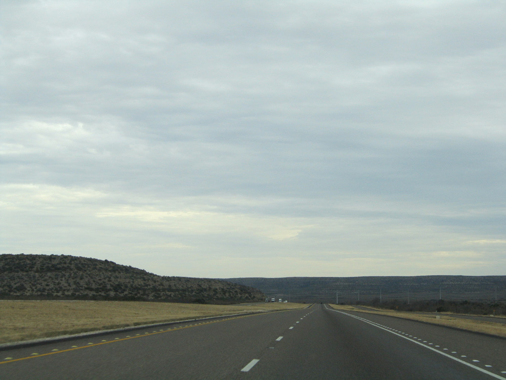
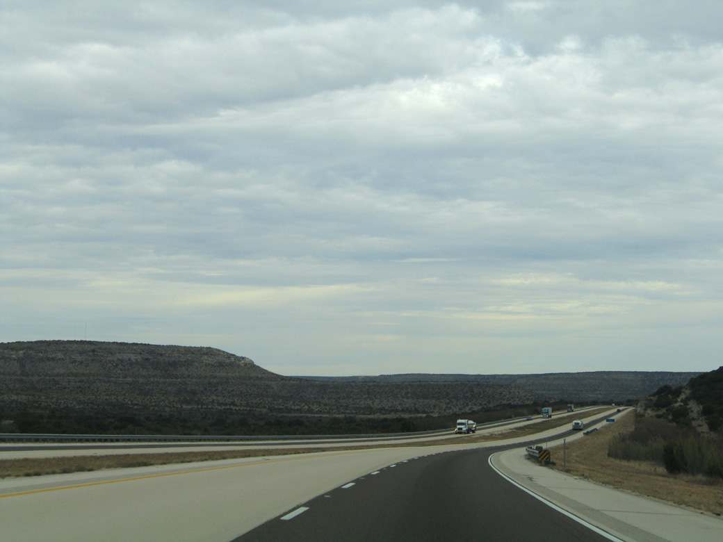
Undulating across hills overlook Eureka Draw, IH 10 advances through a 10.6 mile long exit less stretch.
01/14/06
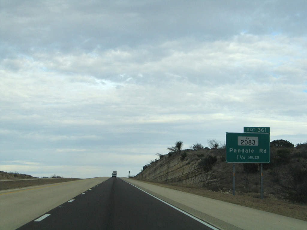
RM 2083 stems south from parallel RM 2398 (old U.S. 290) to IH 10 at the succeeding exit.
01/14/06
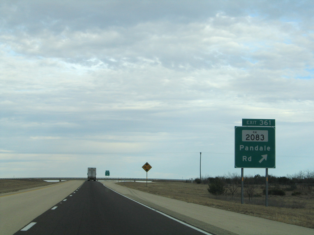
RM 2083 (Pandale Road) travels 35.72 miles south through ranchland , before ending at the Val Verde County line.
01/14/06
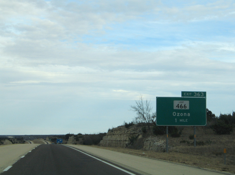
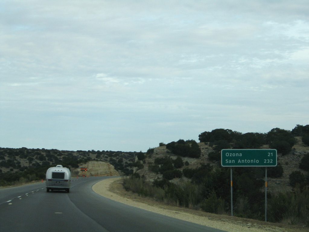
RM 2398 returns to IH 10 at Exit 363, opposite SL 466 leading into Ozona. Founded in 1891, Ozona represents the largest collection of motorists services between Fort Stockton and Sonora, a distance of 139 miles.
01/14/06
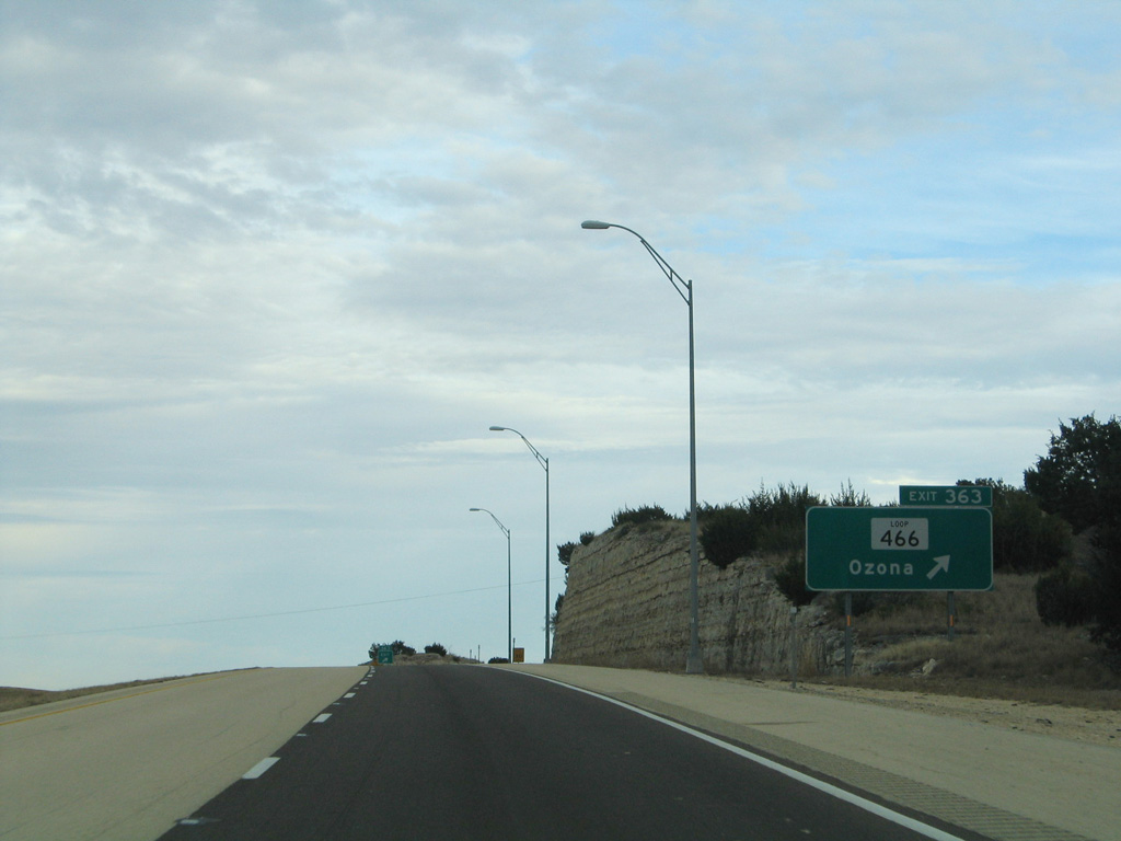
A 3.14 mile long route, Loop 466 is former U.S. 290 (11th Street) through Ozona. U.S. 290 was rerouted onto IH 10 to bypass Ozona prior to being decommissioned.
01/14/06
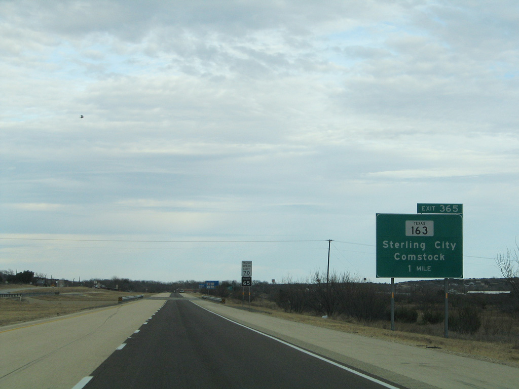
A split diamond interchange (Exit 365) joins IH 10 with SH 163 (Avenue E) and the Ozona residential street grid in one mile.
01/14/06
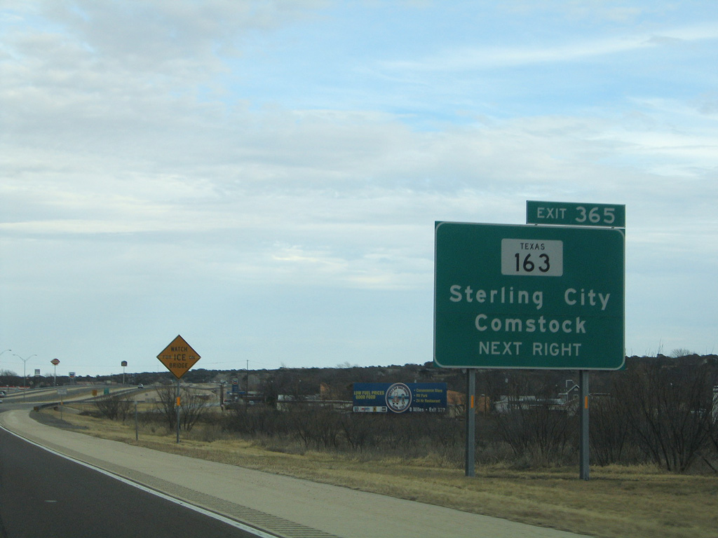
SH 163 originates to the south at U.S. 90 in Comstock and travels north 206.18 miles to Business Loop I-20J at Colorado City.
01/14/06
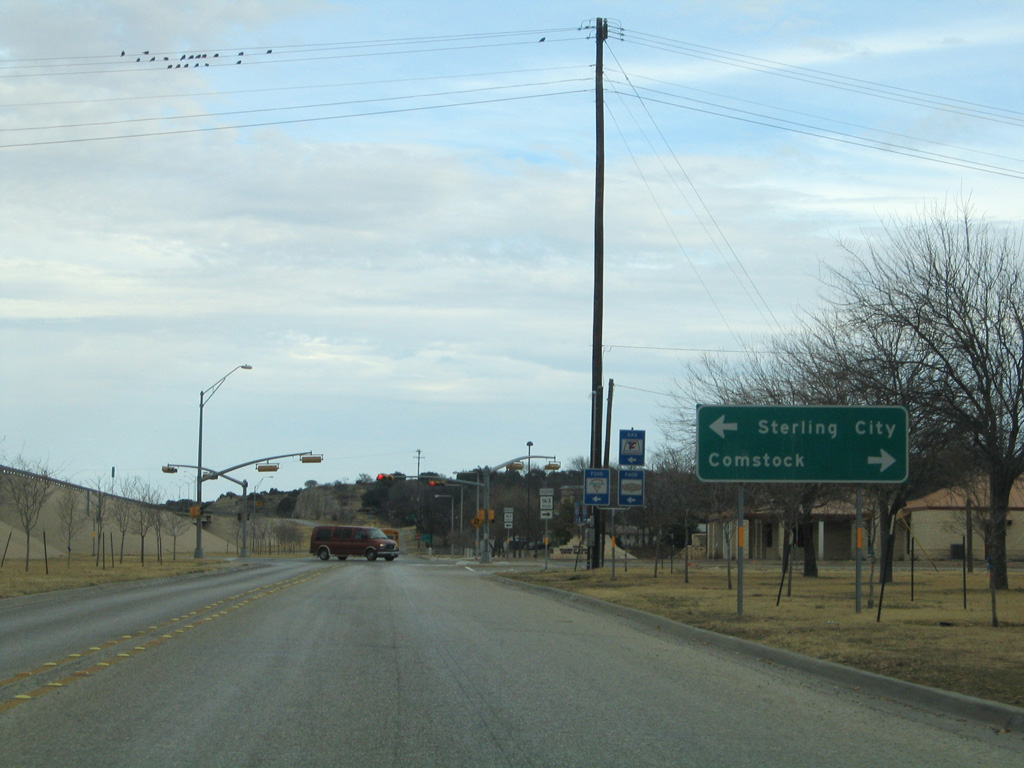
SH 163 (Avenue E) heads north through the Ozona business district en route to Barnhart and the Sterling County seat of Sterling City.
01/14/06
IH 10 resumes across sparsely populated arid land beyond Ozona.
01/14/06
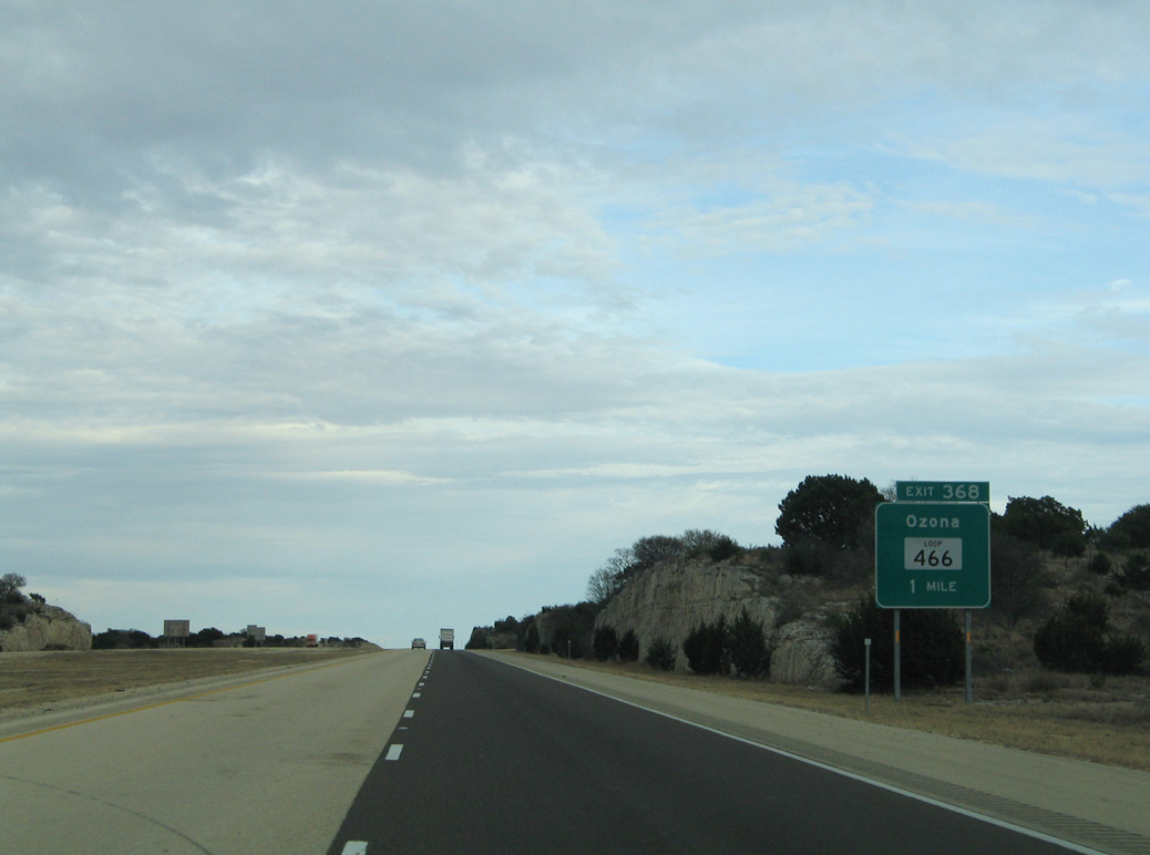
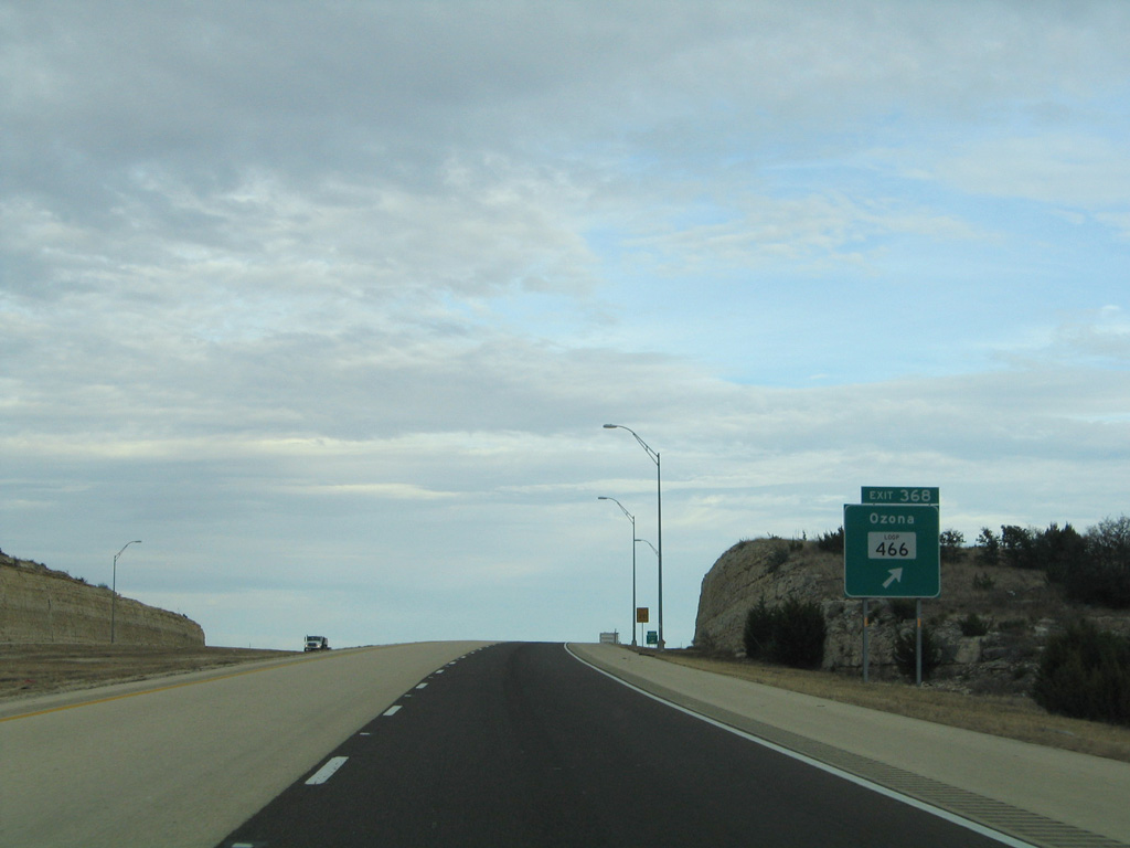
SL 466 meets IH 10 again at Exit 368 in one mile.
01/14/06
SL 368 leads back into Ozona while old U.S. 290 continues along the north side of IH 10 from Exit 368 to the Crockett Heights community.
01/14/06


Photo Credits:
- Alex Nitzman: 01/14/06
- Kevin Trinkle: 02/28/05
Connect with:
Page Updated Sunday July 21, 2019.