
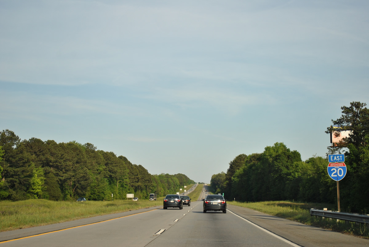
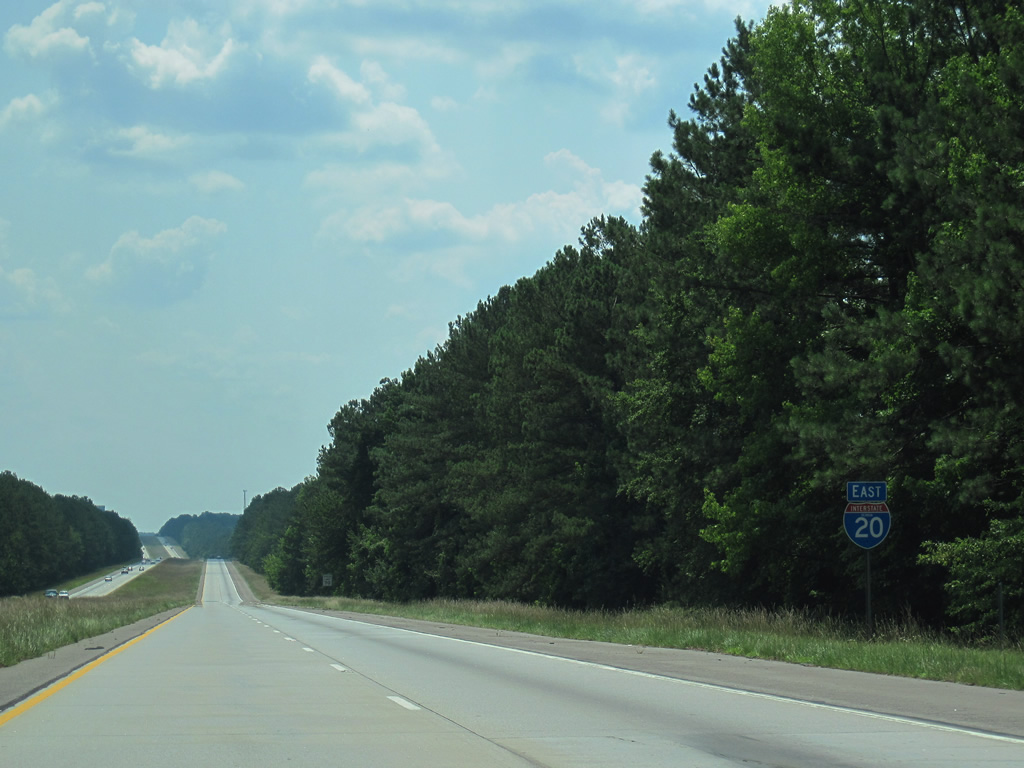
Interstate 20 East - Greensboro to Warrenton
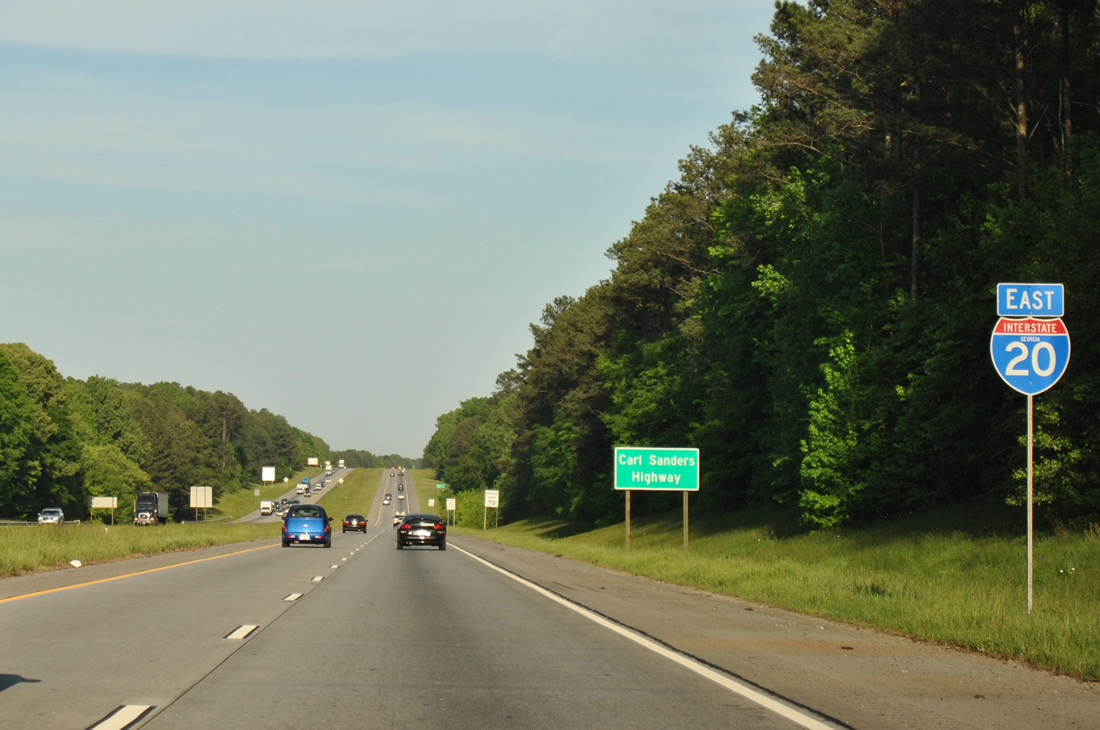
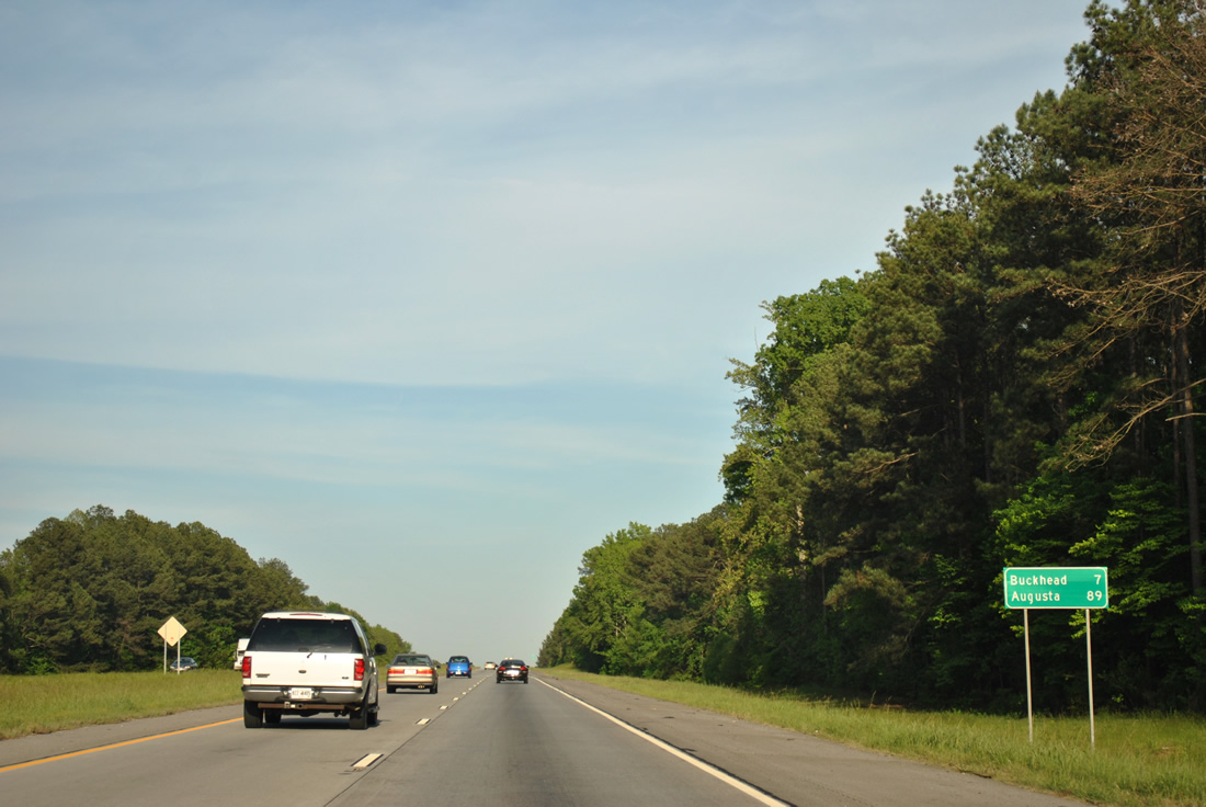
Advancing from Madison, Interstate 20 traverses timberland eastseven miles to Buckhead. Augusta is another 82 miles further east.
04/13/12
Interstate 20 passes through agricultural areas west of Sugar Creek. Temperatures this day topped out at 102 degrees fahrenheit.
06/24/10
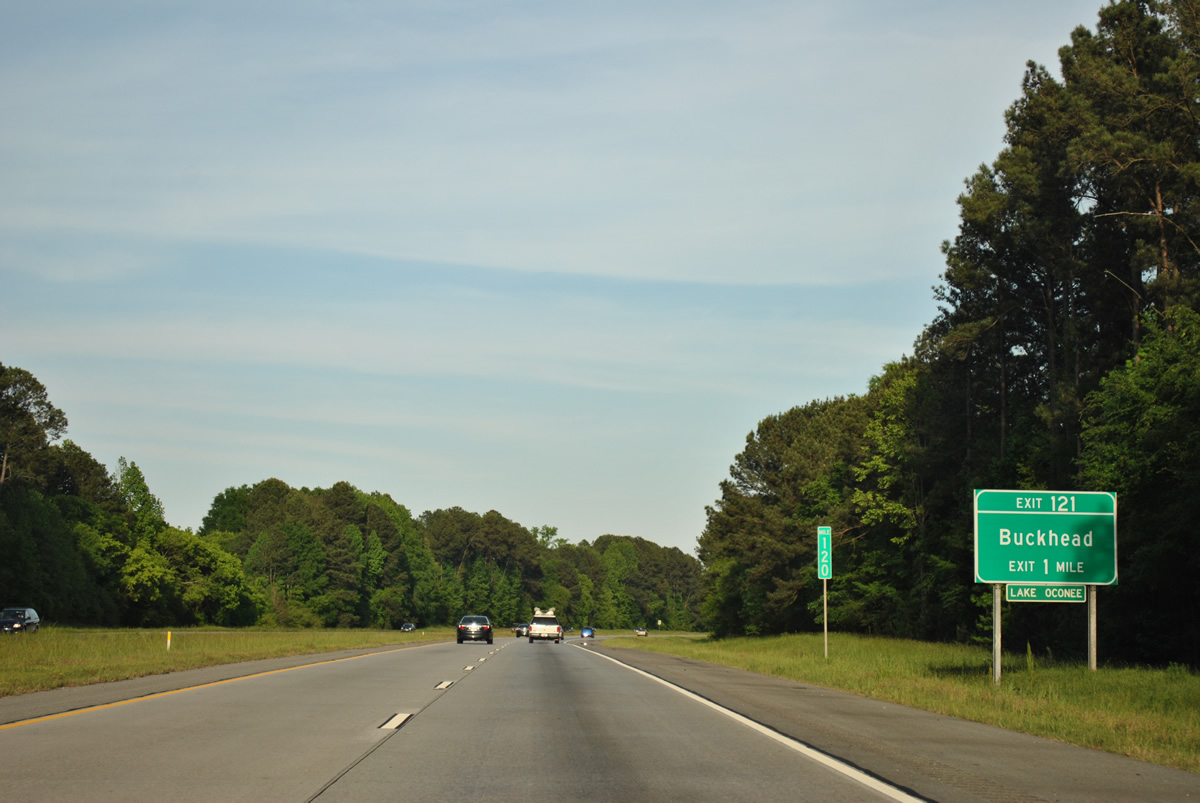
Seven Island Road meets Interstate 20 at a diamond interchange (Exit 121) in one mile. This is the first of two exits for the Lake Oconee area.
04/13/12
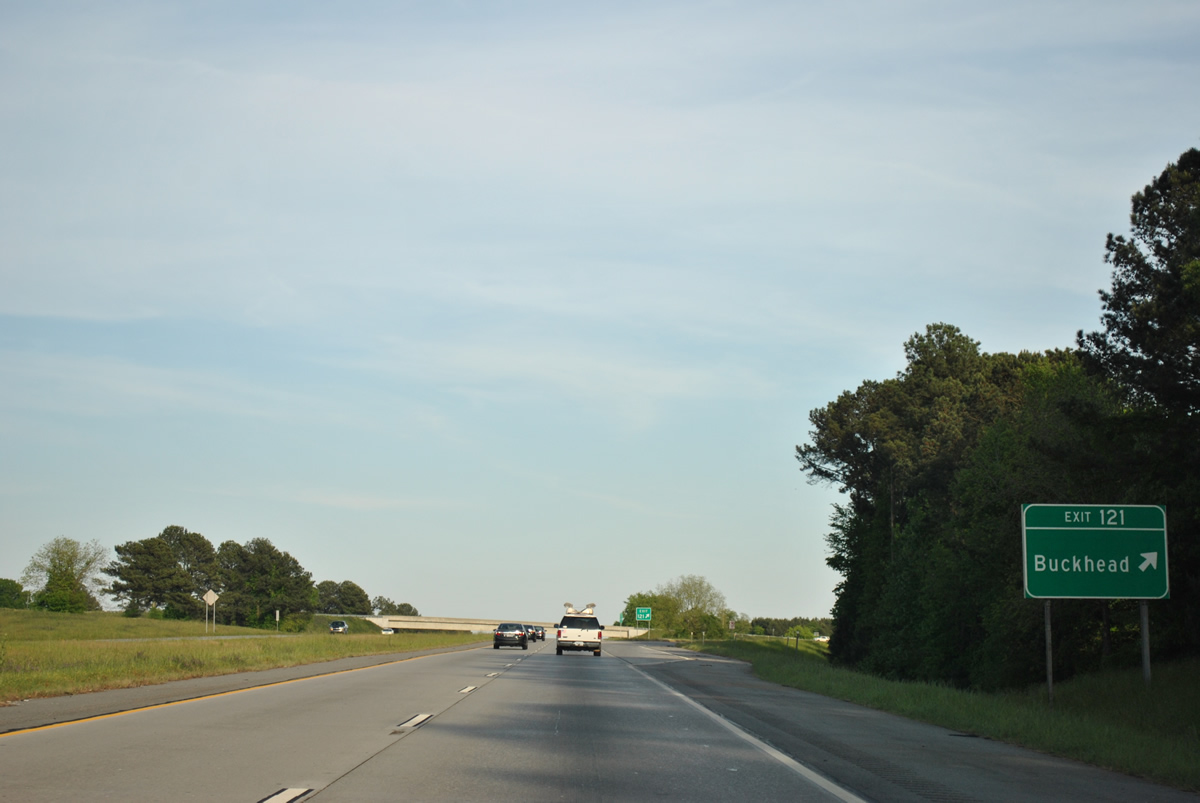
Exit 121 departs Interstate 20 east for Seven Island Road. Seven Mile Road connects I-20 with Parks Mill Road in the town of Buckhead to the north. Southward the road arcs west to U.S. 129/441 (Eatonton Road) and the settlement of Godfrey.
04/13/12
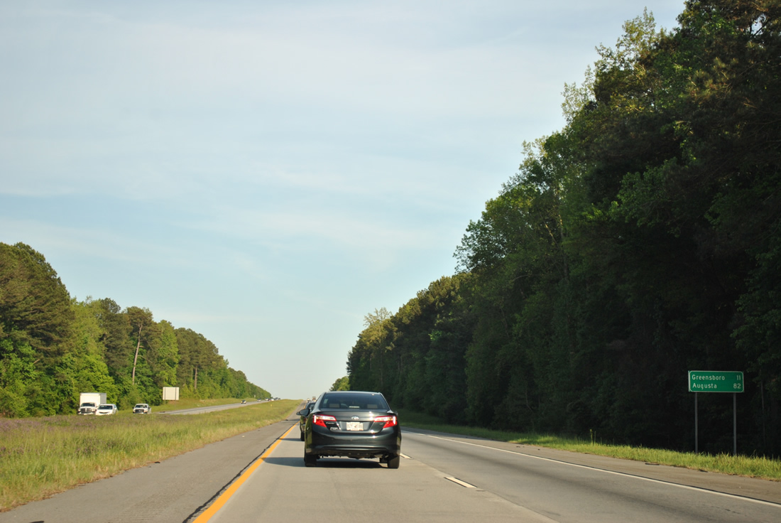
Greensboro, seat of Greene County, is the next destination along Interstate 20 in 11 miles. Augusta is 82 miles to the east.
04/13/12
Interstate 20 turns eastward into the Oconee River valley in this view.
04/13/12
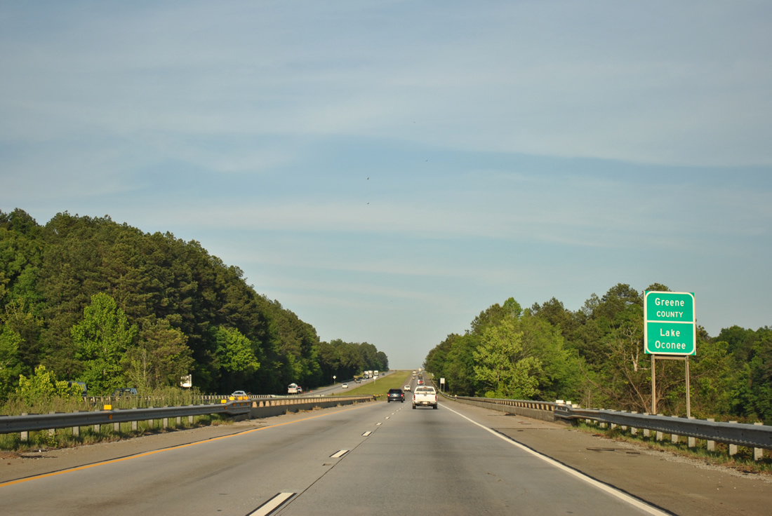
Lake Oconee was formed in 1979 with the construction of Wallace Dam on the Oconee River to the southeast. The Greene County line follows the original river course across Interstate 20, which spans the waterway along a causeway.
04/13/12

SR 44 (Chipman Union Road north / Lake Oconee Parkway south) converges with I-20 at a diamond interchange (Exit 130) on the south side of Greensboro in one mile.
04/13/12
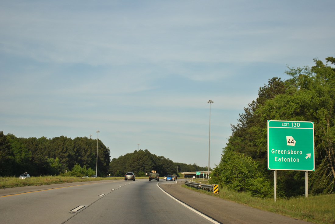
SR 44 heads 2.8 miles northeast from Exit 130 to Downtown Greensboro where it joins U.S. 278 and SR 15 (Broad Street) for a short overlap. Lake Oconee Parkway leads the state route 19 miles southwest to Eatonton.
04/13/12
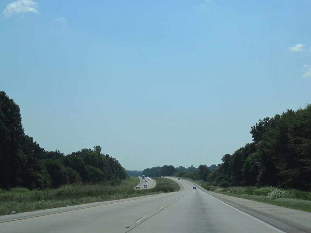
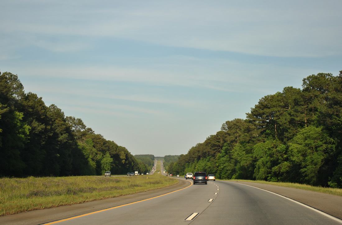
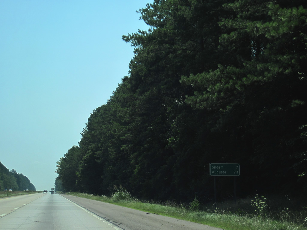
Continuing east along Interstate 20 through rolling forest land, Siloam is reached in seven miles.
04/13/12
06/24/10
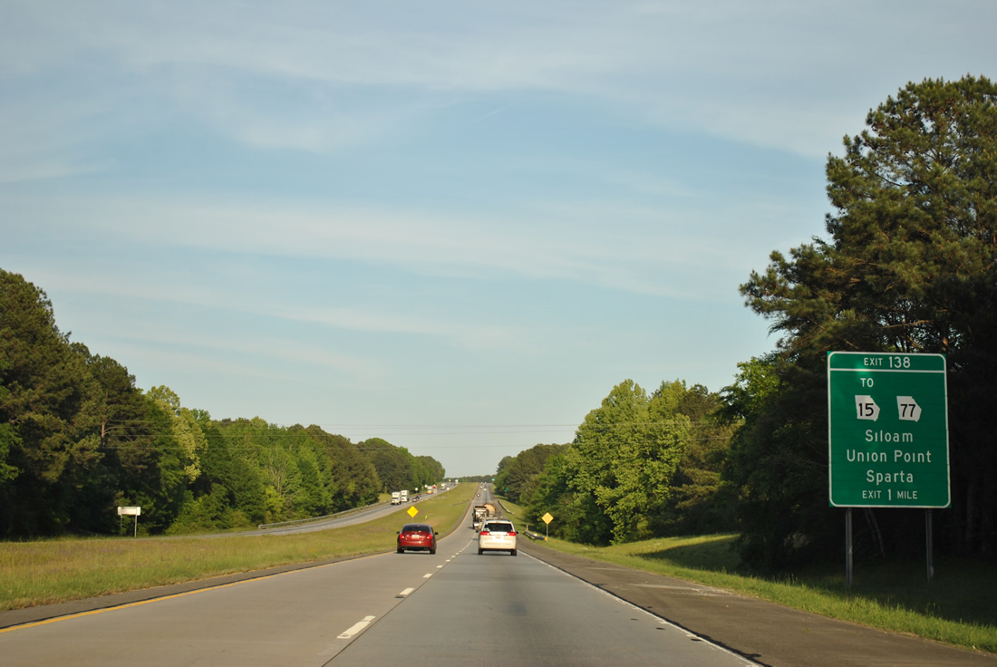
SR 77, a 103 mile long route between Hancock County and I-85 at Exit 177, comes together with Interstate 20 at a diamond interchange (Exit 138) in one mile.
04/13/12

SR 77 (Siloam Union Point Road) combines with SR 15 in the town of Siloam. Northward from Exit 138, SR 77 travels five miles to Union Point and U.S. 278. An overlap with SR 15 southward leads to Sparta in 21 miles.
04/13/12
Crawfordville, the seat of Taliaferro County, is 11 miles away. Augusta is an hour drive east on Interstate 20.
04/13/12
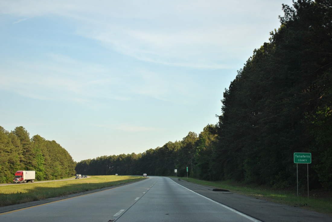
I-20 enters Taliaferro County midway between Exits 138 and 148.
04/13/12
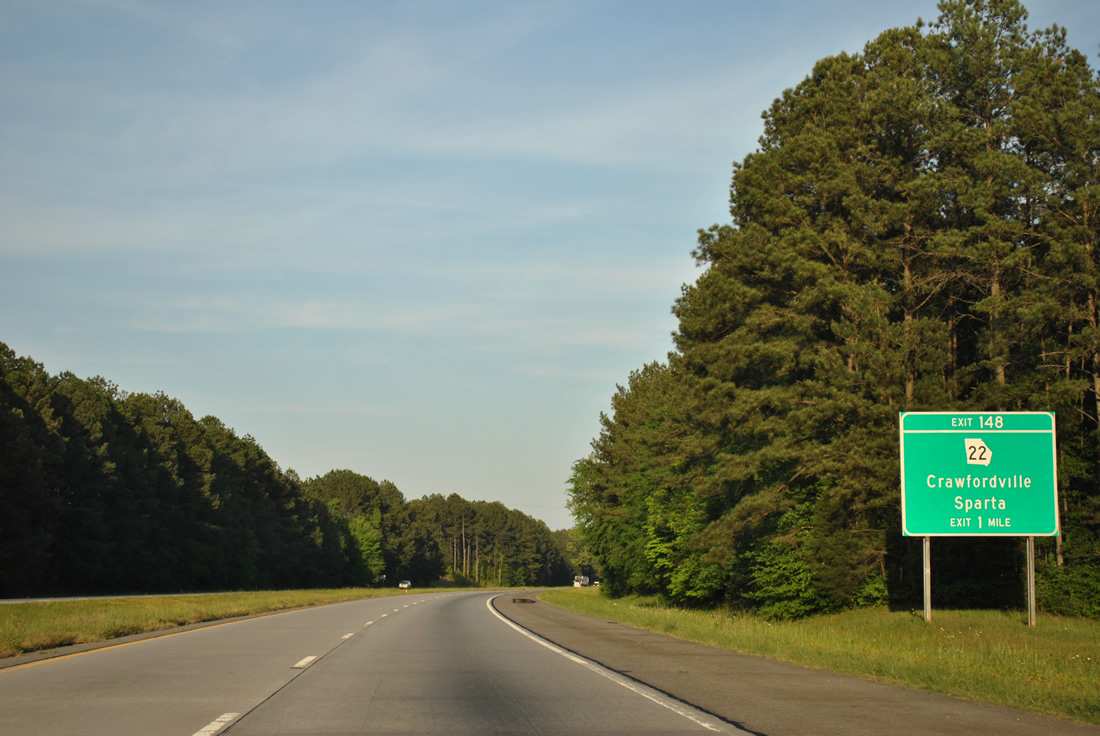
The lone exit in Taliaferro County is the diamond interchange with SR 22.
04/13/12
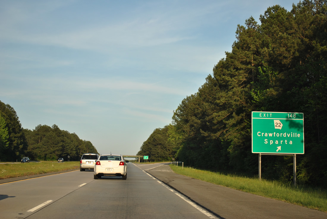
SR 22 serves the city of Crawfordville two miles to the north of Exit 148 and the Hancock County seat of Sparta 18 miles to the southwest.
04/13/12
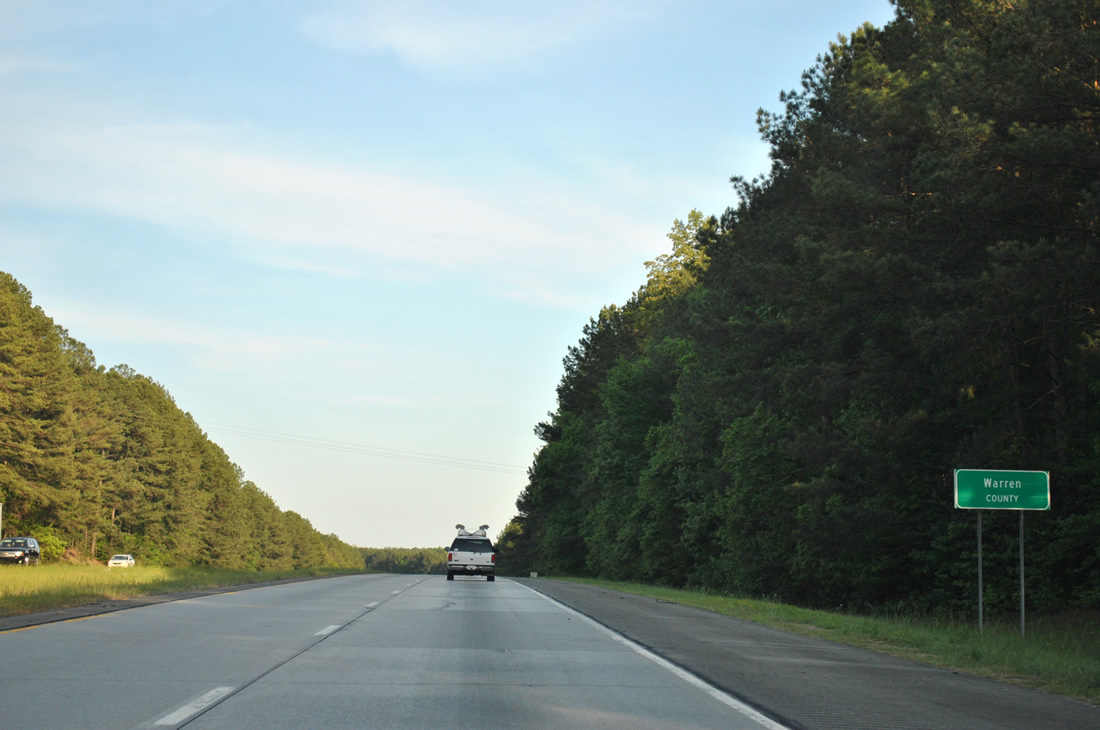
I-20 sinks southeast toward Warren County.
04/13/12
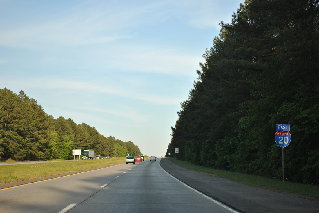
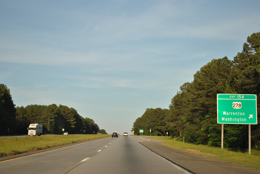
U.S. 278 (Atlanta Highway) navigates along a winding course southeast from Crawfordville to switch sides with Interstate 20 at Exit 154 en route to Norwood.
04/13/12
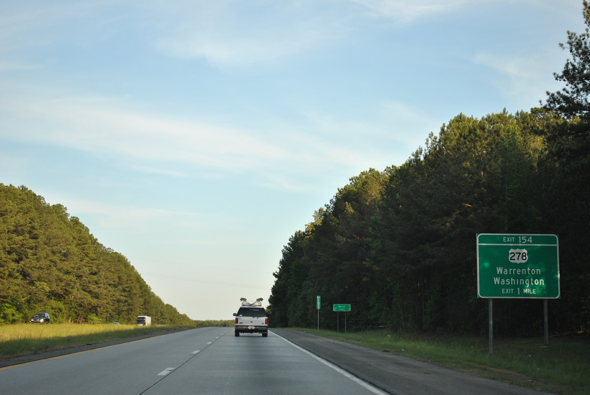
Interstate 20 crosses the Warren County line leading to the exchange with U.S. 278.
04/13/12
Exit 154 departs I-20 east for U.S. 278 (Atlanta Highway) by the settlement of Barnett. Norwood is seven miles to the southeast, followed by Warrenton in 11 miles. Barnett Road (former SR 269) heads north toward the Wilkes County seat of Washington from U.S. 278 nearby to SR 47 at Sharon.
04/13/12
Interstate 20 parallels Williams Creek and the Taliaferro County line beyond Exit 154.
04/13/12
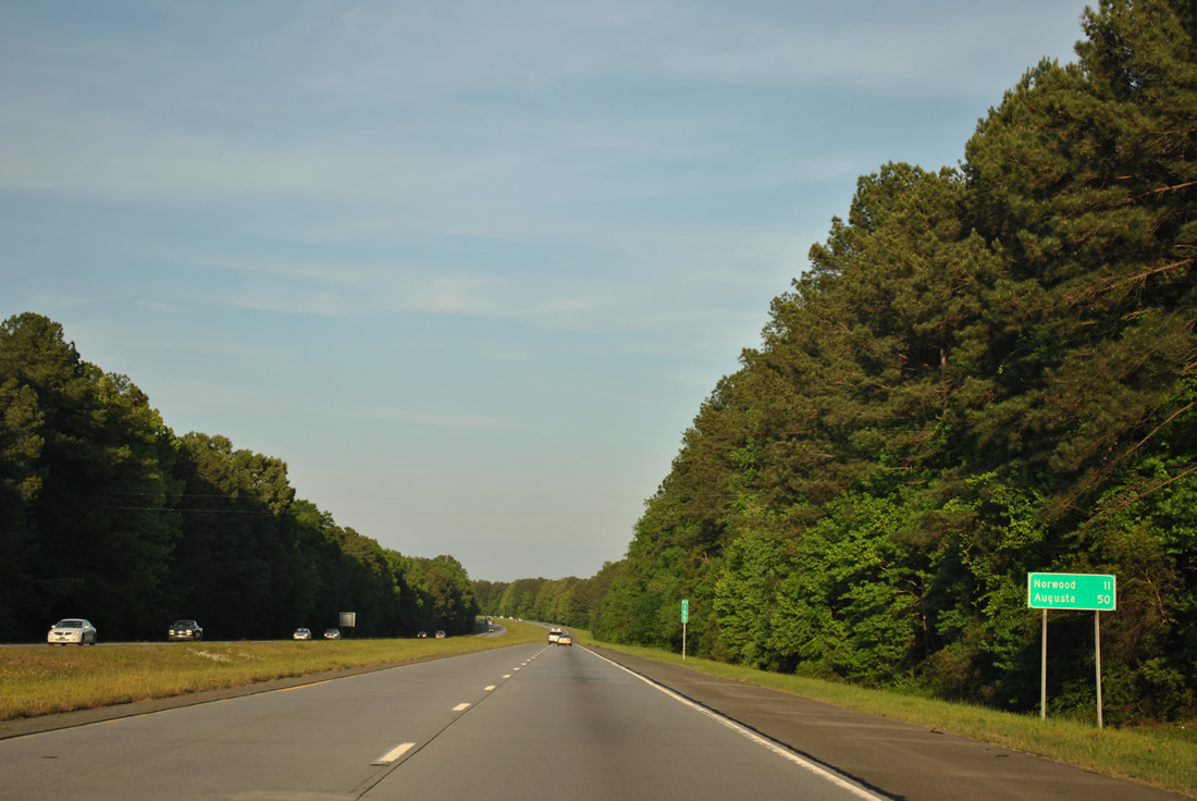
Norwood, from the succeeding eastbound exit, is 11 miles away via I-20 and Cadley Road south. Augusta is 50 miles to the east.
04/13/12
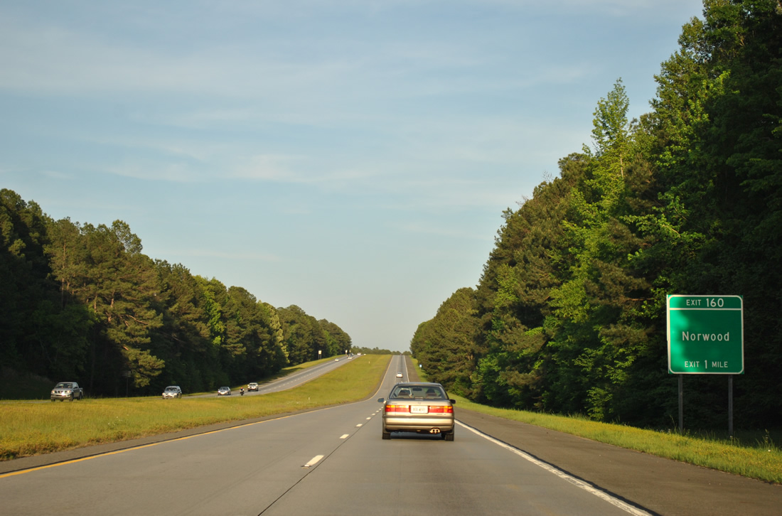
Cadley Road winds north from Old Greensboro Road (former U.S. 278) in Norwood to meet Interstate 20 at diamond interchange (Exit 160).
04/13/12
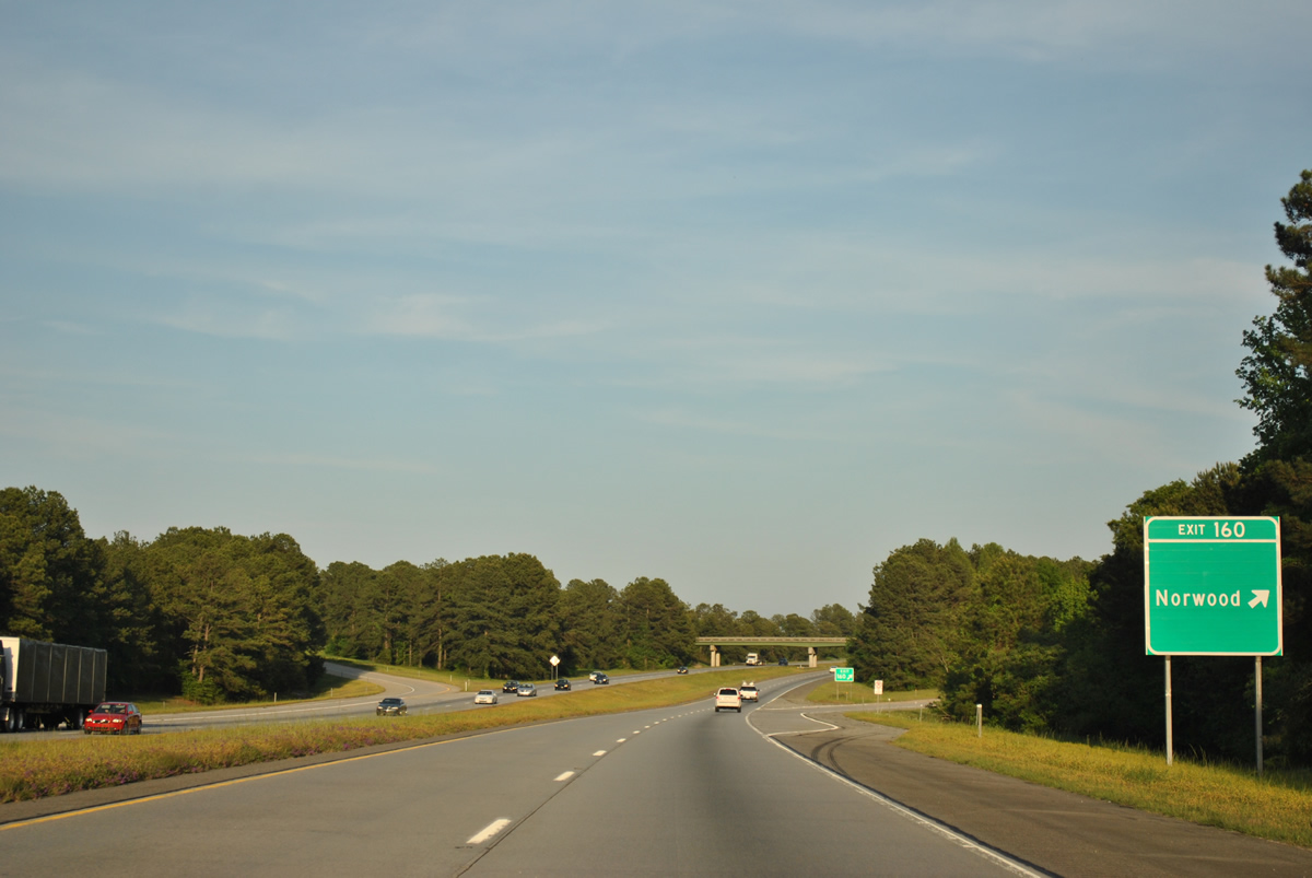
North from Exit 160, Cadley Road curves eastward to SR 80 by the settlement of Cadley.
04/13/12
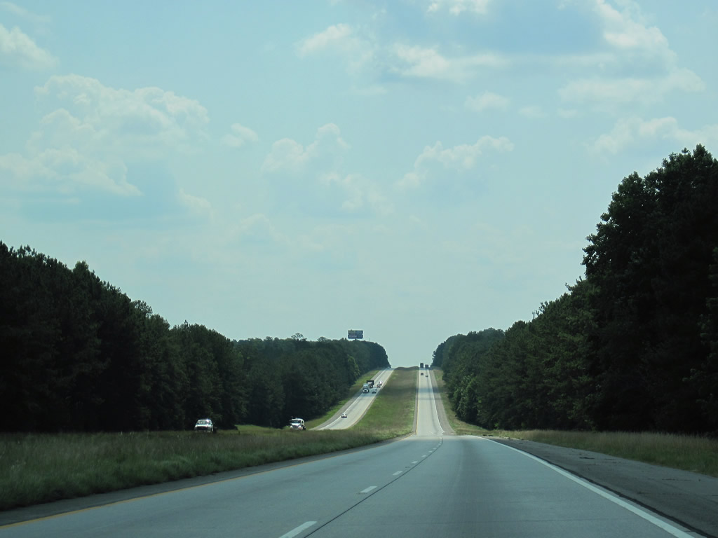
A long straight away on Interstate 20 east ahead of Hart Creek and Ridge Road.
06/24/10
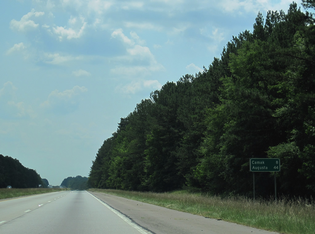
Motorists along I-20 east reach the town of Camak in eight miles (via SR 80 south) and the city of Augusta in 44 miles.
06/24/10
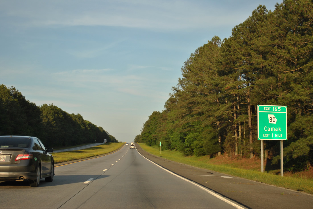
SR 80 runs south from Washington and U.S. 78, near the west end of U.S. 378, to Cadley, Cedar Rock and Interstate 20 at Exit 165. SR 80 continues south 3.3 miles into Camak.
04/13/12
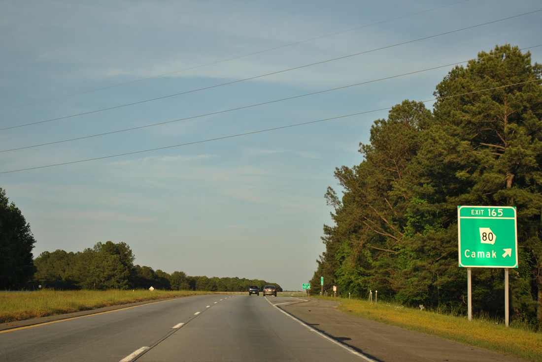
Traveling 84 miles overall, SR 80 follows a circuitous route southeast from Warrenton to Wrens, Waynesboro and SR 56 Spur south of Augusta. SR 223 begins at Cedar Rock nearby on a parallel alignment to I-20 to Grovetown.
04/13/12
Interstate 20 kinks northward from Childers Creek. A frontage road (Durham Road) parallels the south side initially.
06/24/10
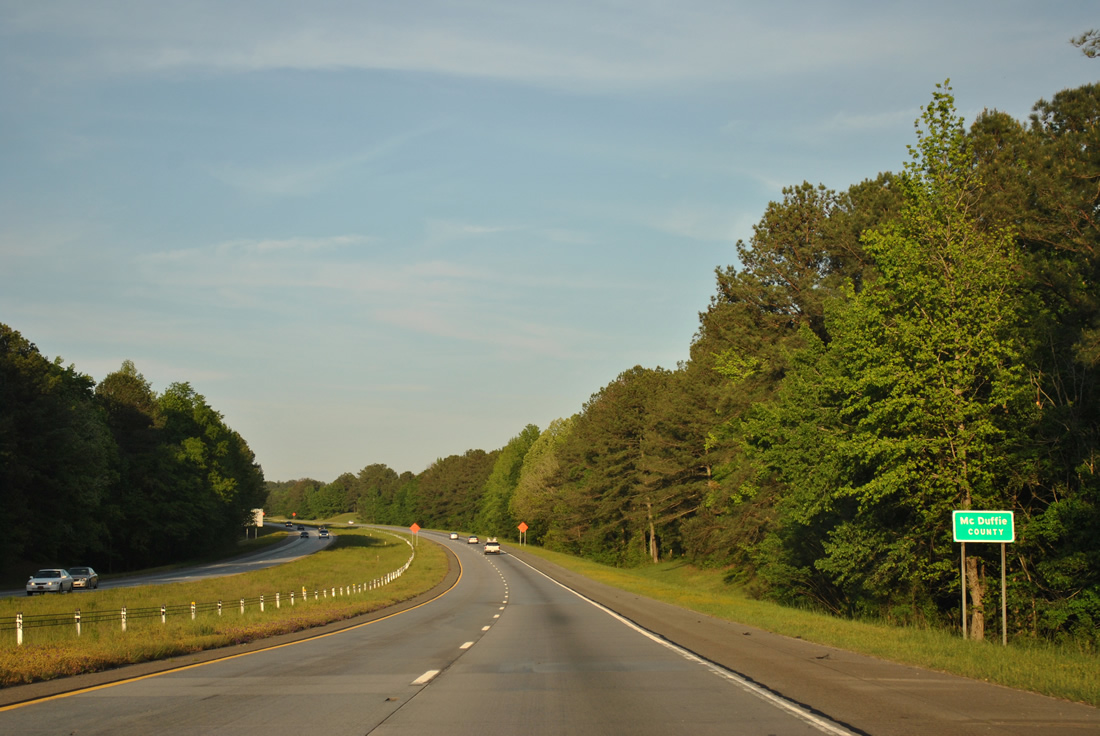
The freeway crosses the McDuffie County line a short distance east of Exit 165.
04/13/12

Photo Credits:
- ABRoads: 06/24/10, 04/13/12
Page Updated Wednesday June 09, 2021.