
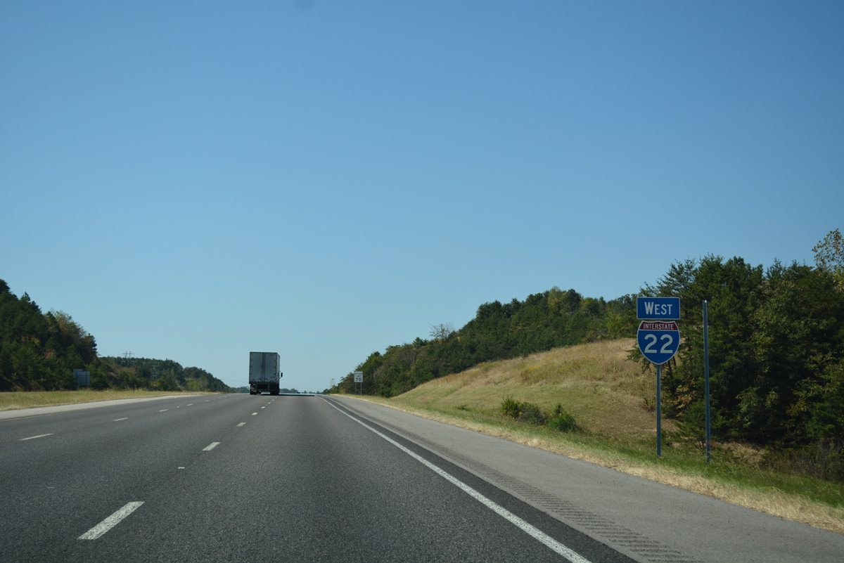
I-22/U.S. 78 West

 West
West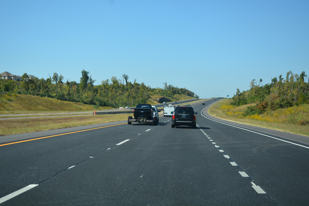
Ramps from Interstate 65 combine just ahead of a stub on the I-22 mainline built for the eventual connection from U.S. 31 (Decatur Highway) at North Birmingham.
10/08/16
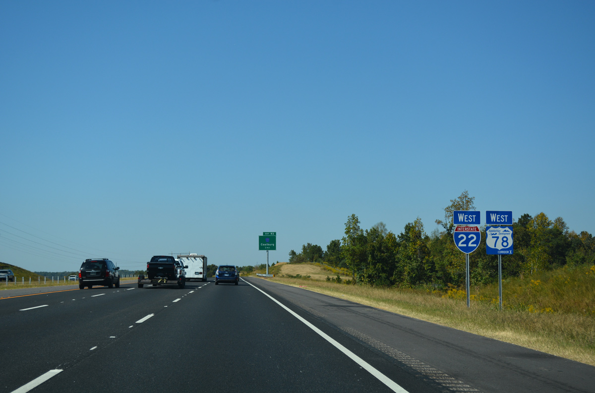
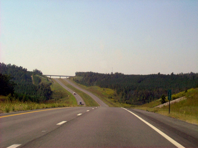
The first confirming marker for I-22 stands next to an Appalachian Development Corridor X shield for U.S. 78. U.S. 78 remains signed along Arkadelphia Road north from Birmingham to Adamsville and Graysville otherwise.
10/08/16
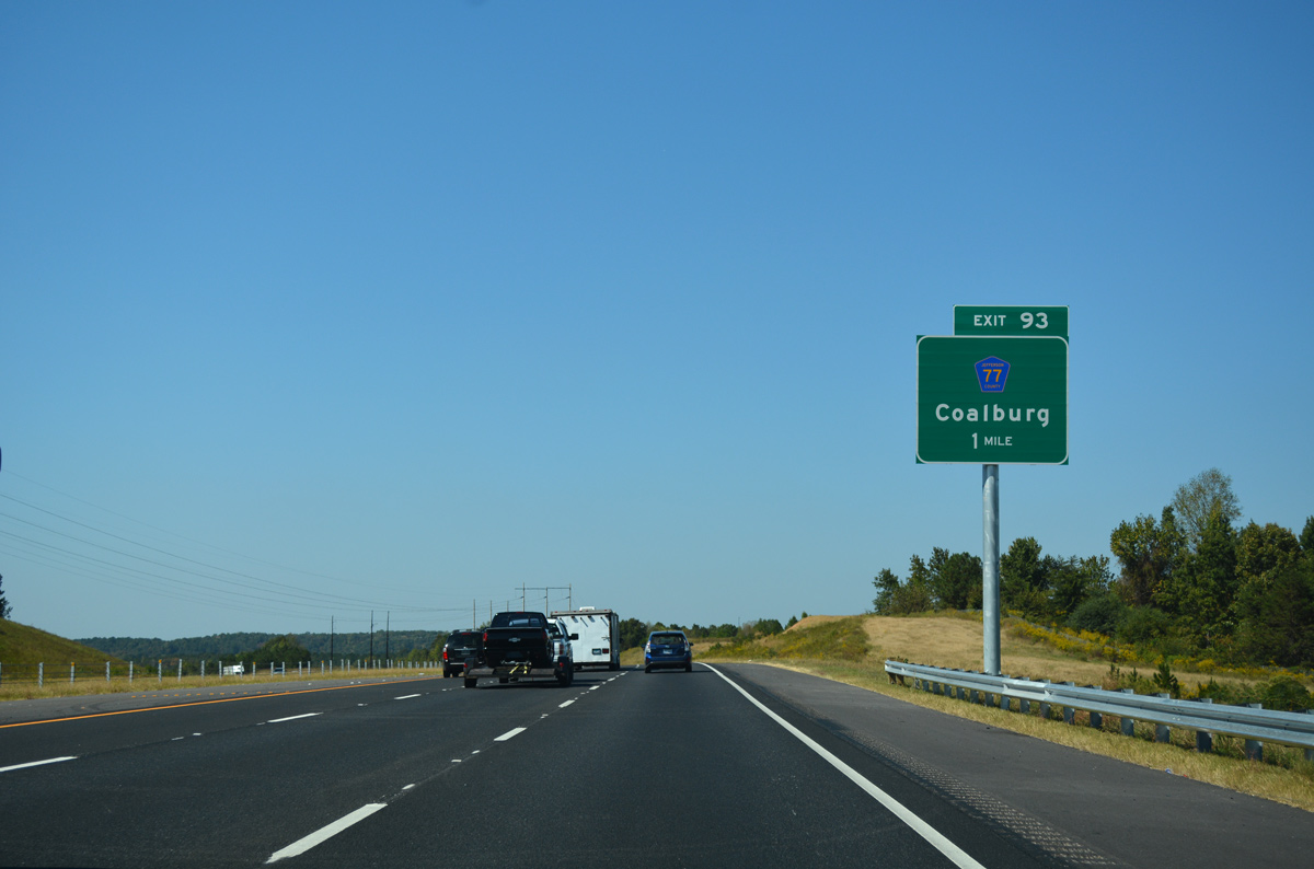
Interstate 22 curves west to parallel Fivemile Creek to a diamond interchange (Exit 93) with County Road 77 (Coalburg Road).
10/08/16
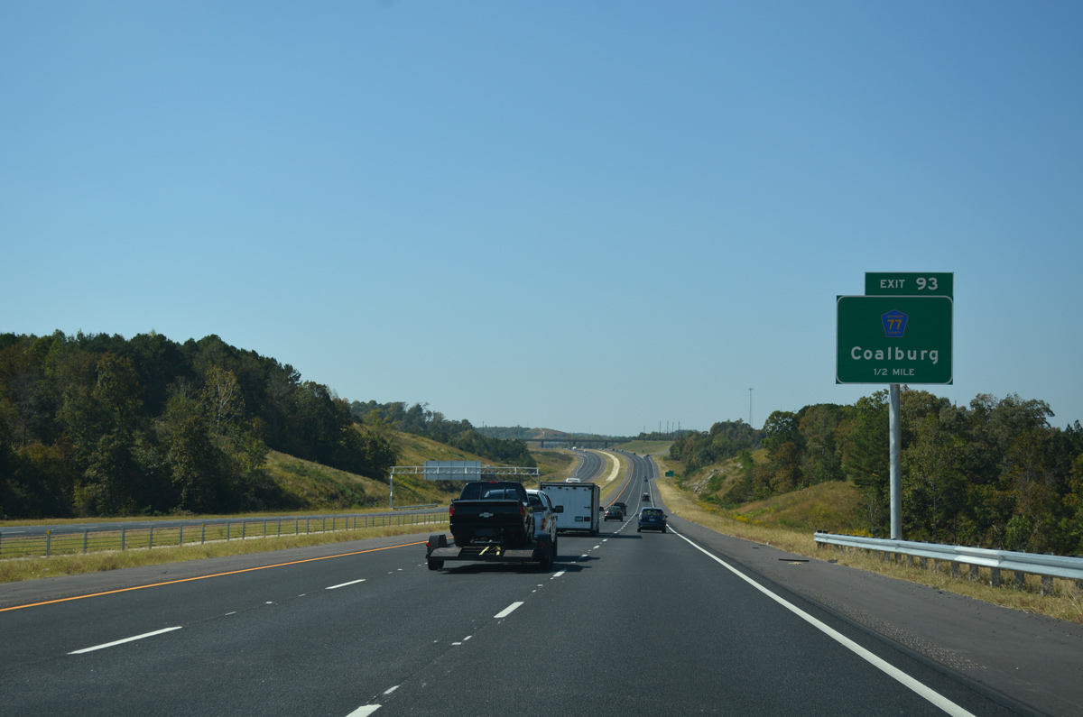
Jefferson County 77 (Coalburg Road) winds north from an industrial park area at Daniel Payne Drive to meet I-22 just south of Coalburg.
10/08/16
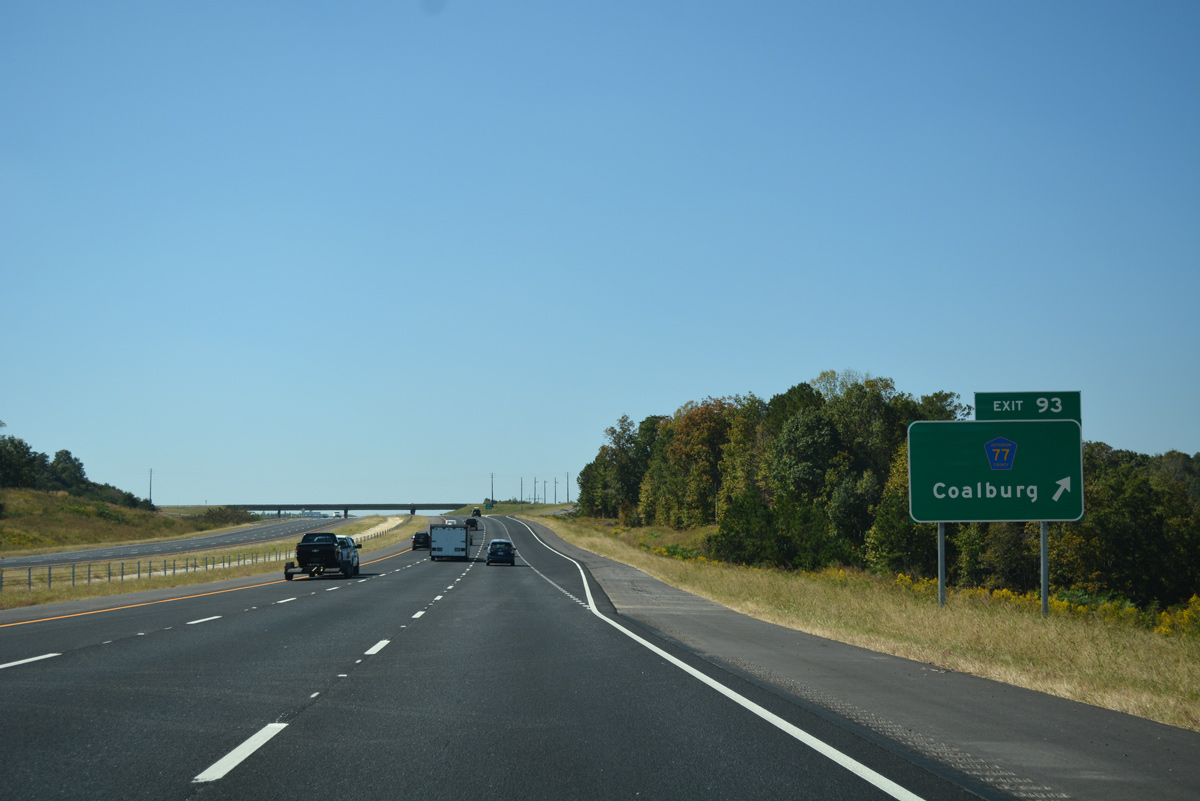
North from Exit 93, CR 77 lowers into a valley across Fivemile Creek to Upper Coalburg. CR 77 continues north from there to Easterwood Mountain and western reaches of Gardendale.
10/08/16
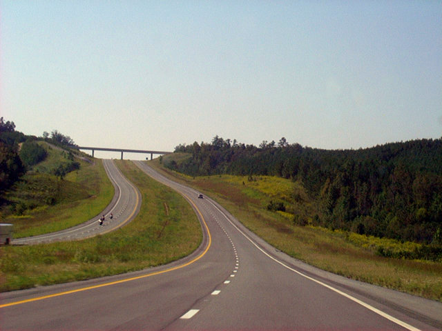
Advancing west, I-22 travels south of Lassiter Mountain and a bend of Fivemile Creek.
10/08/16
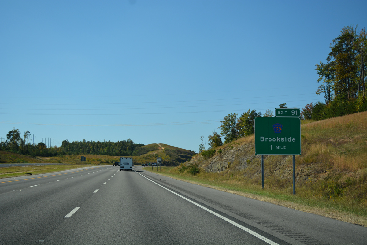
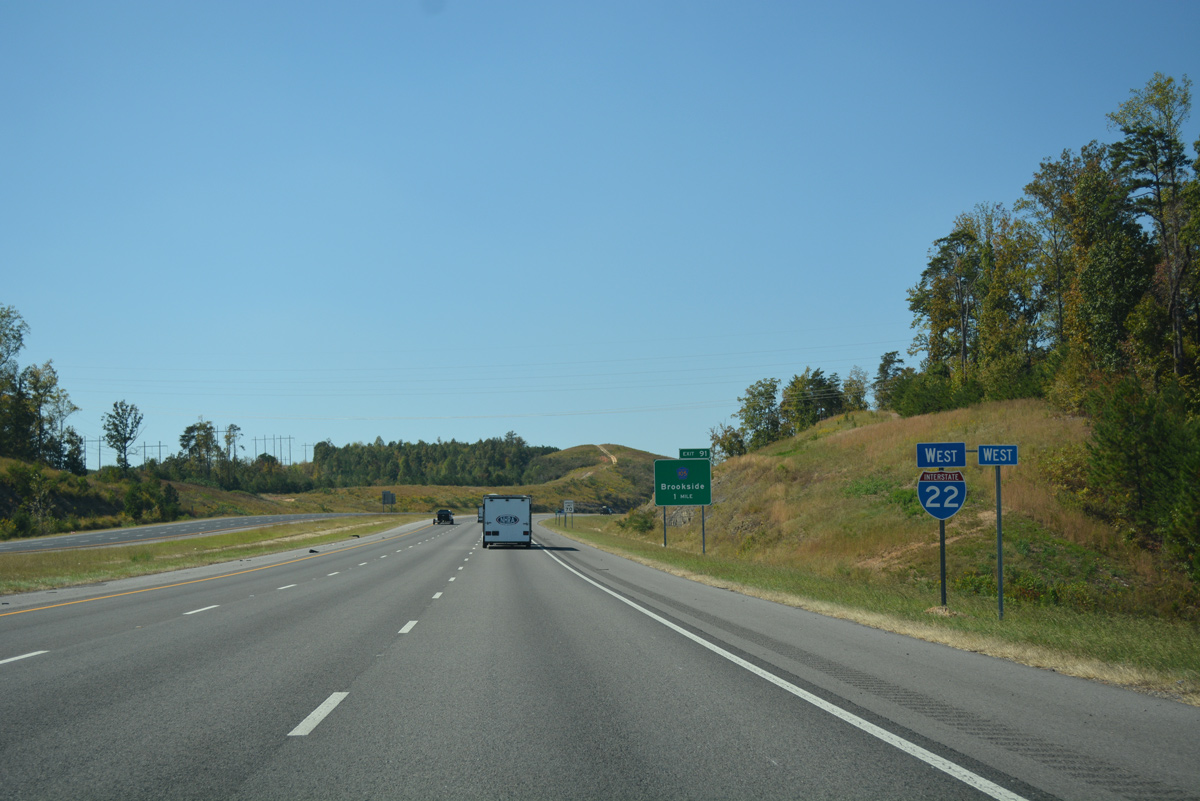
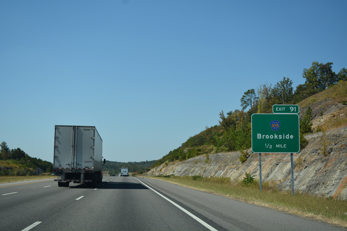
Cherry Avenue heads north from U.S. 78 through the community of Forestdale to meet Interstate 22 at Exit 91.
10/08/16
Cherry Avenue (CR 103) meanders north to Republic and west to Daisey City in the town of Brookside. CR 103 and I-22 cross paths again at Exit 87.
10/08/16
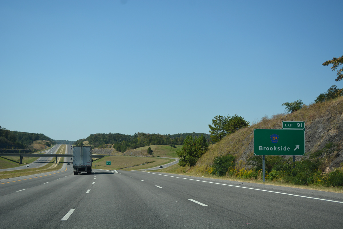
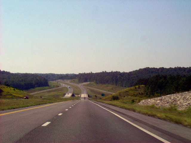
Westbound traffic on I-22 reaches the diamond interchange (Exit 91) with County Road 103 (Cherry Avenue).
10/08/16
Interstate 22 travels through northeastern areas of the Adamsville city limits between Exits 91 and 89.
10/08/16
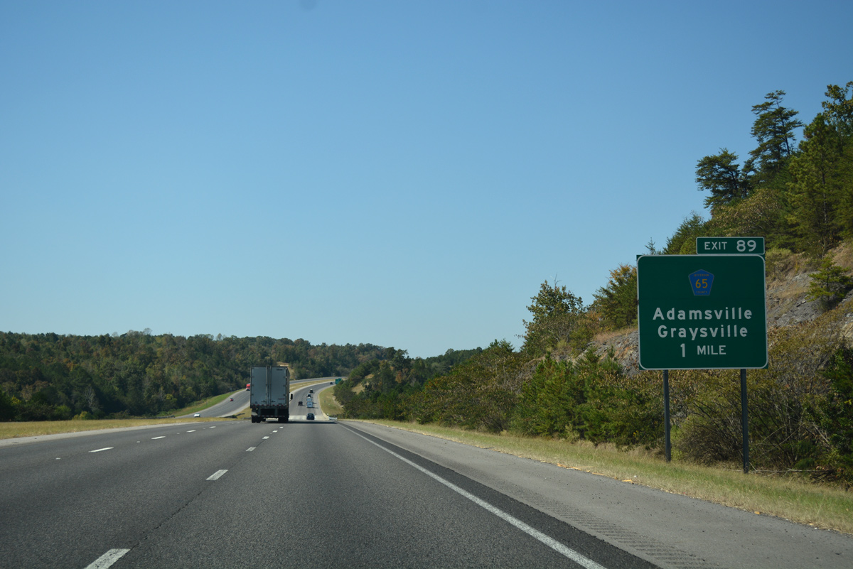
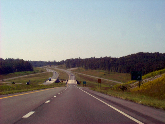
Hillcrest Road (CR 65) winds north from a diamond interchange with U.S. 78 and Minor Parkway to connect Interstate 22 with Adamsville at Exit 89.
10/08/16
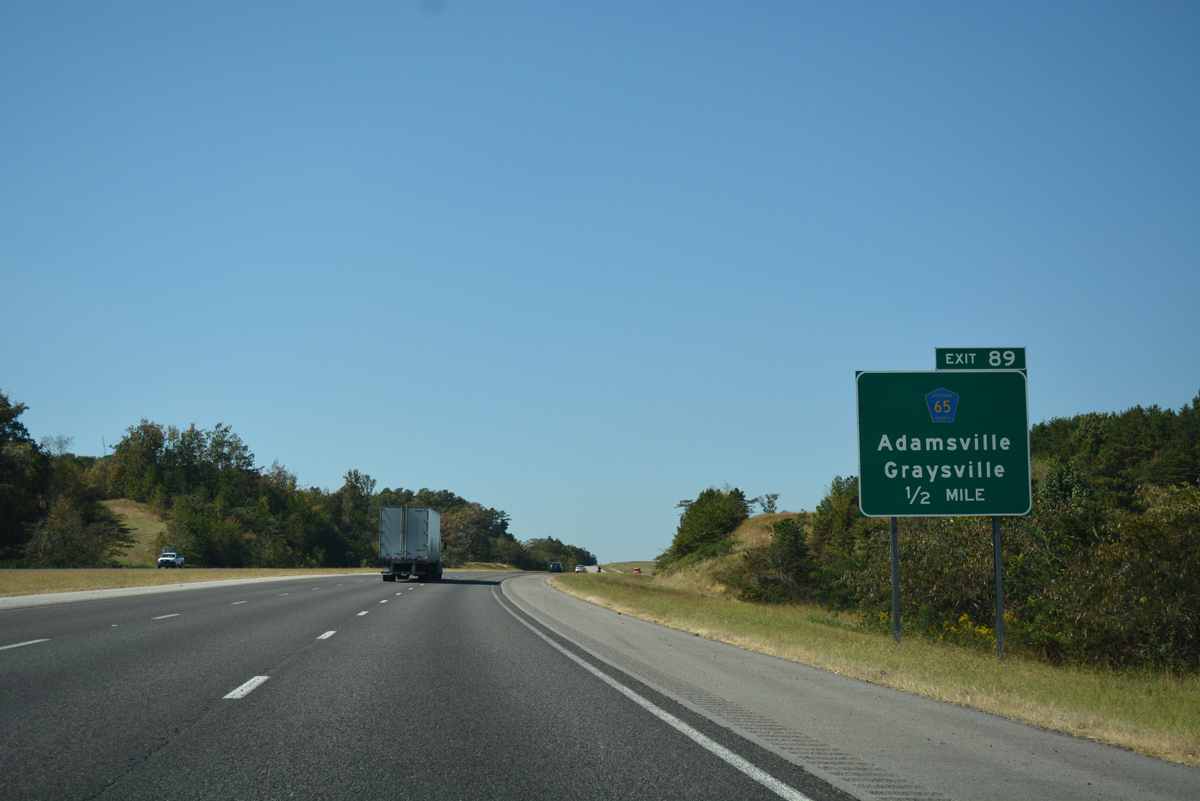
One half mile ahead of Exit 89 for Hillcrest Road (CR 65). Hillcrest Road ties into Cherry Avenue (CR 103) just north of Exit 89 near Pinkney City.
10/08/16
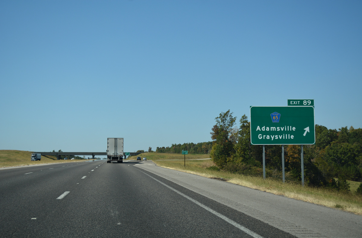
The diamond interchange (Exit 89) with CR 65 (Hillcrest Road) falls wholly within the city of Graysville.
10/08/16
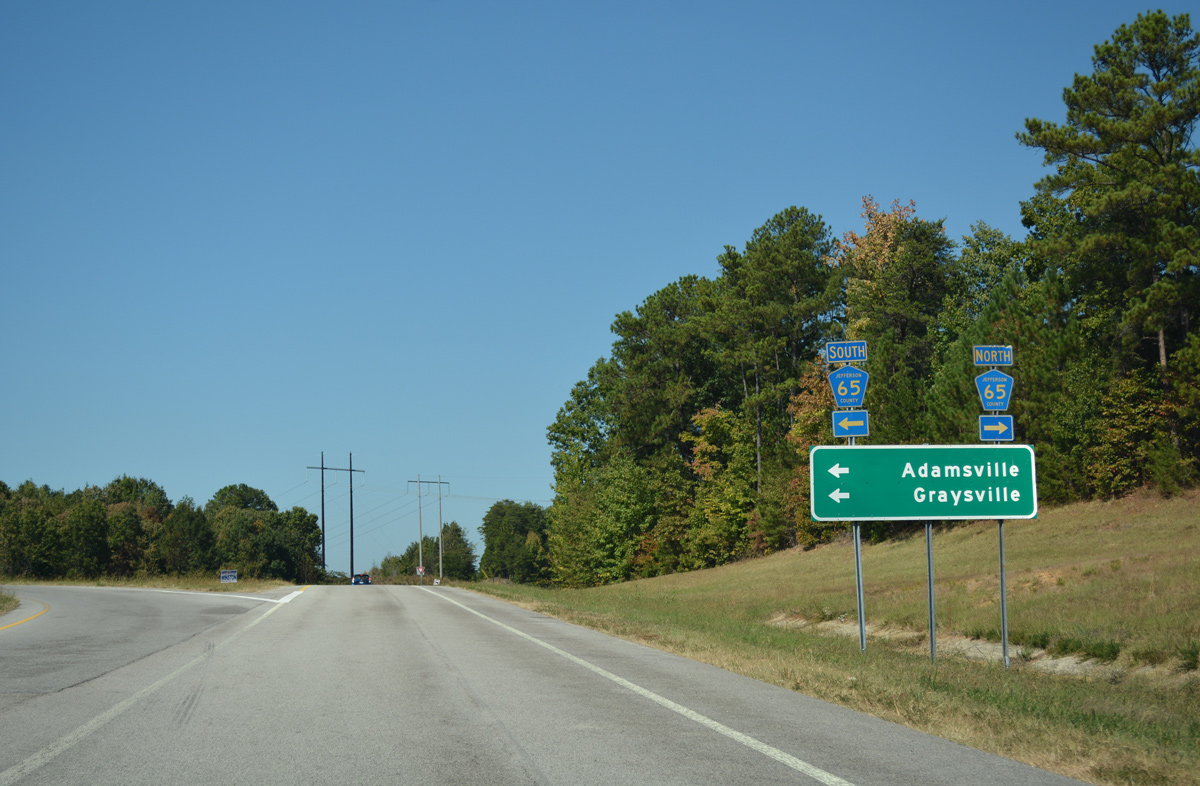
Outside of pentagons posted at Exit 89 and along I-22 guide signs, Jefferson County 65 is unsigned along Hillcrest Road.
10/08/16
 West
West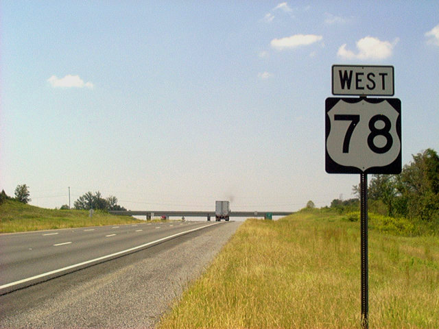
What was the first U.S. 78 westbound shield posted along the Jasper section of Interstate 22.
09/25/03
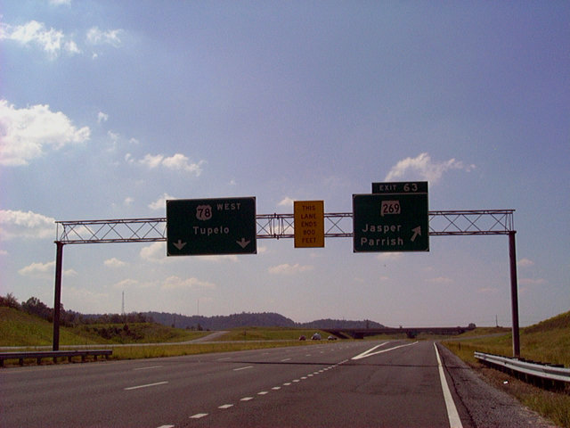
Sign bridge at the Exit 63 departure for SR 269 along U.S. 78 westbound. Note the space allocation for an eventual Interstate 22 shield on the pull-through panel. Also note that the third westbound lane ends within this diamond interchange. The southbound control point of SR 269 is the town of Parrish.
09/25/03
The second Jasper interchange joins Interstate 22 with SR 69 at Exit 61. The state route leaves a commercialized stretch with SR 5 (old U.S. 78) for Elliot Boulevard southeast toward Downtown Jasper. Turning west at 20th Street SW, SR 69 heads west 1.9 miles to a diamond interchange with Corridor X.
09/25/03
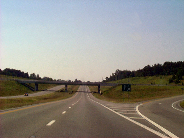
Exit 53 consists of a diamond interchange with a short access road linking Interstate 22 & U.S. 78 with parallel SR 118 and the South Frontage Road. There are no signs posted outside of the gore point sign in either direction for the exit.
09/25/03
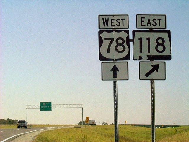
U.S. 78 westbound and SR 118 eastbound shield assembly previously posted at their parclo interchange (Exit 52). SR 118 follows old U.S. 78 west to Carbon Hill and east to Jasper.
09/25/03
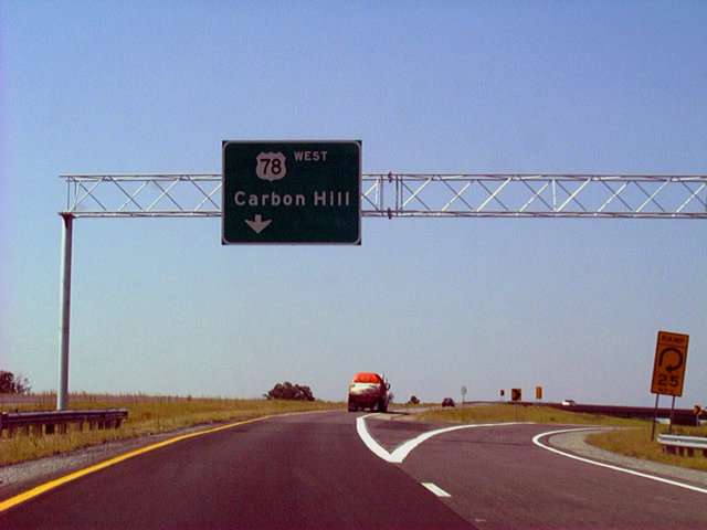
A sign bridge partitioned traffic on the Exit 52 ramps for SR 118 along U.S. 78 west. Until November 22, 2005, U.S. 78 reverted to its original alignment west into Carbon Hill. Downtown Carbon Hill is 6.4 miles to the west.
09/25/03
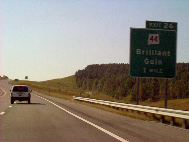
One mile east of the diamond interchange (Exit 26) with SR 44 on Interstate 22 west. SR 44 travels 10.02 miles between U.S. 43 at Guin and SR 129 at Brilliant.
09/25/03
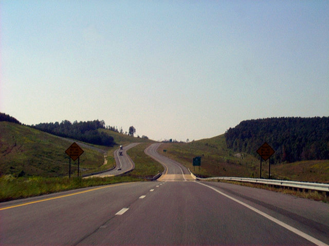
The scenery of the Hamilton segment of Interstate 22 supersedes what is visible on the Jasper segment. This photograph looks at the winding nature of the highway as it nears the SR 44 junction at Dickerson Creek and County Road 61.
09/25/03
Interstate 22 ascends westward from Luxapallila Creek and the diamond interchange at Exit 26 to the SR 253 overpass. Milepost 27 is visible to the right.
09/25/03
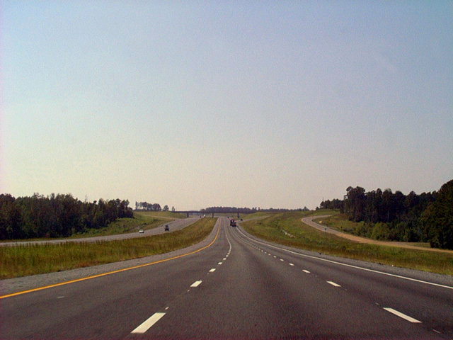
The rolling hills of west Alabama are omnipresent along Interstate 22 west through Hamilton County.
09/25/03
Entering the 24th mile of U.S. 78 & SR 4 westbound in Marion County. Scuffle Grit Road passes over the freeway on the hill above Cooper Creek.
09/25/03
Lowering toward the diamond interchange (Exit 22) with Marion County 45 at Beaver Creek along Interstate 22 west.
09/25/03
U.S. 78 & SR 4 westbound at Exit 22. Marion County 45 is a southwest to northeast route between U.S. 43 north of Guin and SR 253 south of Pearces Mill.
09/25/03
U.S. 78 and SR 4 are consistently signed on the 30 mile Hamilton area segment of Interstate 22. In most cases, the shields feature the blue and white Appalachian Regional Development Corridor X style shields.
09/25/03
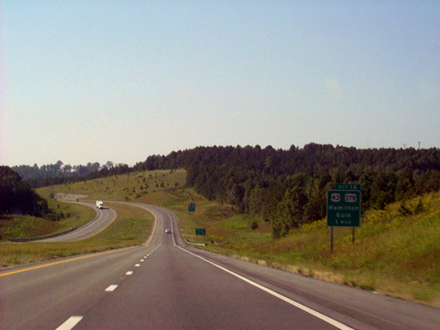
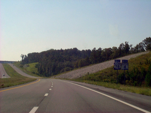
Interstate 22 takes a brief westerly turn before resuming a northwestern trajectory in the vicinity of Exit 16. The upcoming diamond interchange connects with the U.S. 43 & 278 overlap.
09/25/03
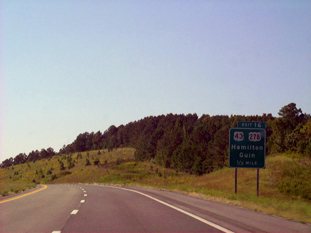
One-half mile guide sign for U.S. 43 & 278. The paired routes serve Guin, eight miles to the south and the Marion County seat of Hamilton, five miles to the north.
09/25/03
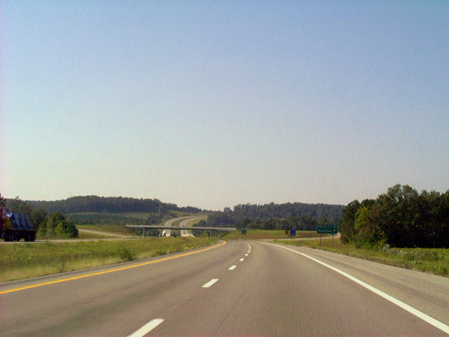
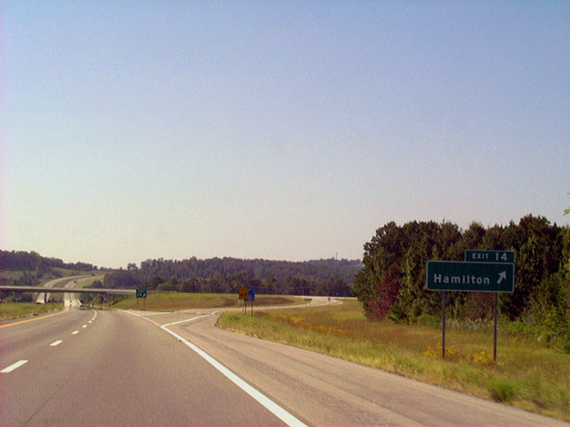
A second Hamilton area interchange along I-22 is Exit 14 with Marion County 35. This highway travels between Henson Springs and U.S. 43 & 278 in south Hamilton.
09/25/03
Interstate 22 westbound at the ramp departure (Exit 14) for County Road 35. Marion County Airport lies north of CR 35 along U.S. 43 & 278.
09/25/03
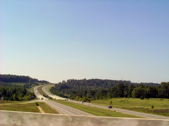
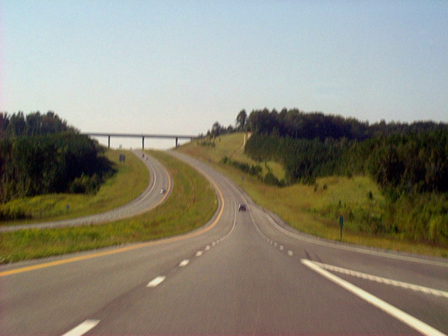
Interstate 22 & U.S. 78 spread into view from the Marion County 35 overpass at Exit 14. Visible also is the Buttahatchee River and the northwesterly rise of the freeway.
09/25/03
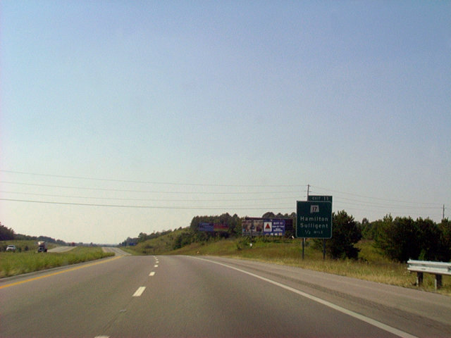
One half mile east of Exit 11 with SR 17 on I-22 west. SR 17 is part of a longer route serving the towns of Sulligent, Detroit and Hamilton. The route travels through the Black Belt region of the state from Mobile to Tennessee by way of Florence.
09/25/03
Exit 11 gore point sign and ramp departure from I-22 & U.S. 78 westbound. SR 17 combines with U.S. 43, 3.54 miles to the east through Downtown Hamilton. The state route represents the hidden counterpart of U.S. 43 northward to Florence.
09/25/03
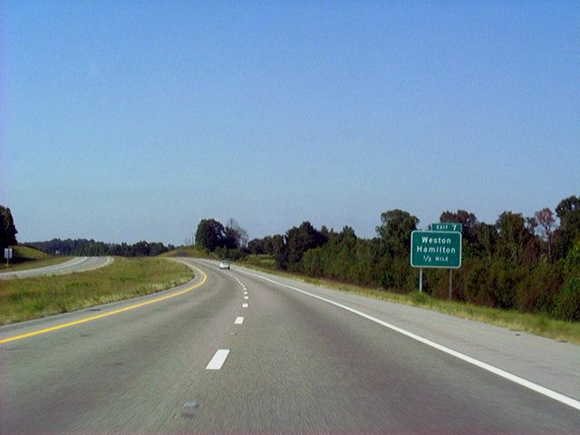
One-half mile guide sign of Exit 7 for Weston and Hamilton. While no route is shown on this sign, the exit serves SR 74 east and Marion County 94 west.
09/25/03
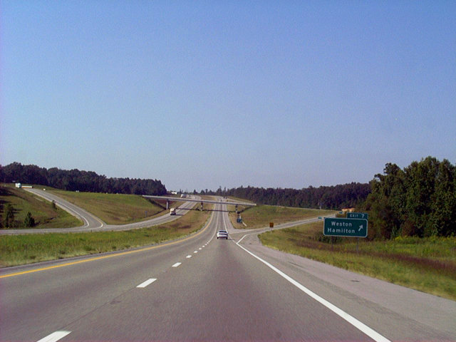
U.S. 78 & SR 4 westbound at Exit 7 for SR 74 east and Marion County 94 west. County Road 94 west to Bexar and the Mississippi state line is the original alignment for U.S. 78.
09/25/03
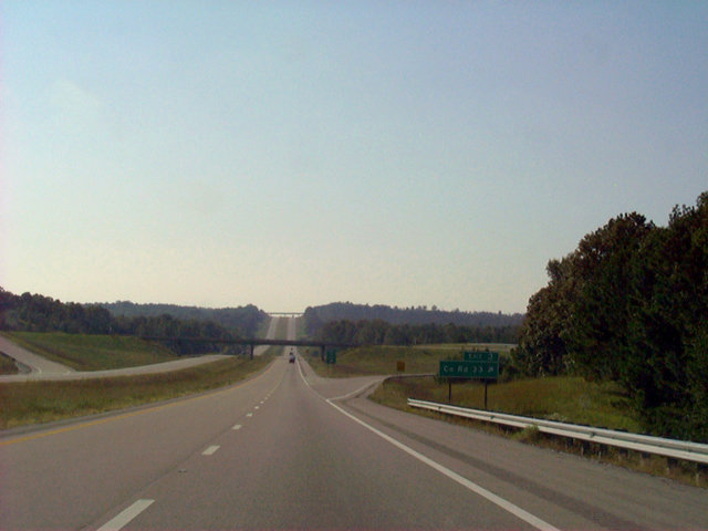
The final Heart of Dixie interchange along Interstate 22 westbound joins the freeway with Marion County 33 at Exit 3. This rural highway travels north from CR 33 to Bexar and nearby CR 11. CR 11 continues north toward Shotsville.
09/25/03
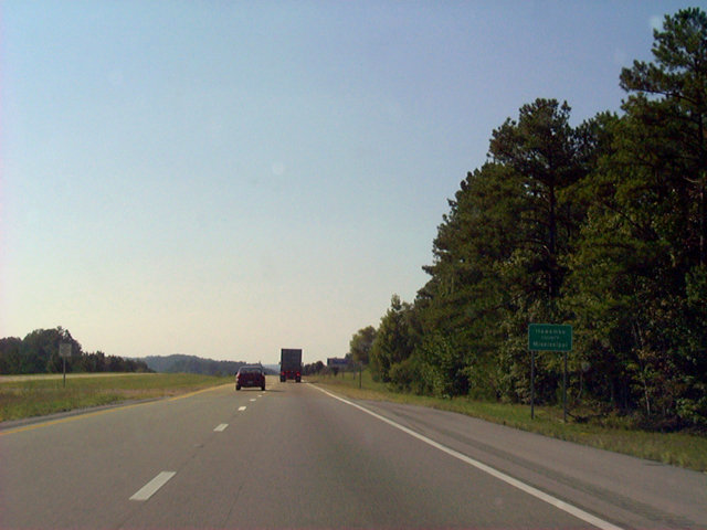
Westbound on Interstate 22 at the Alabama/Mississippi state line. The pavement change from asphalt to concrete represents the change in jurisdiction. The guide sign in view displays Itawamba County, Mississippi.
09/25/03
Photo Credits:
- Alex Nitzman: 09/25/03, 10/08/16
Connect with:
Page Updated Monday May 15, 2017.