
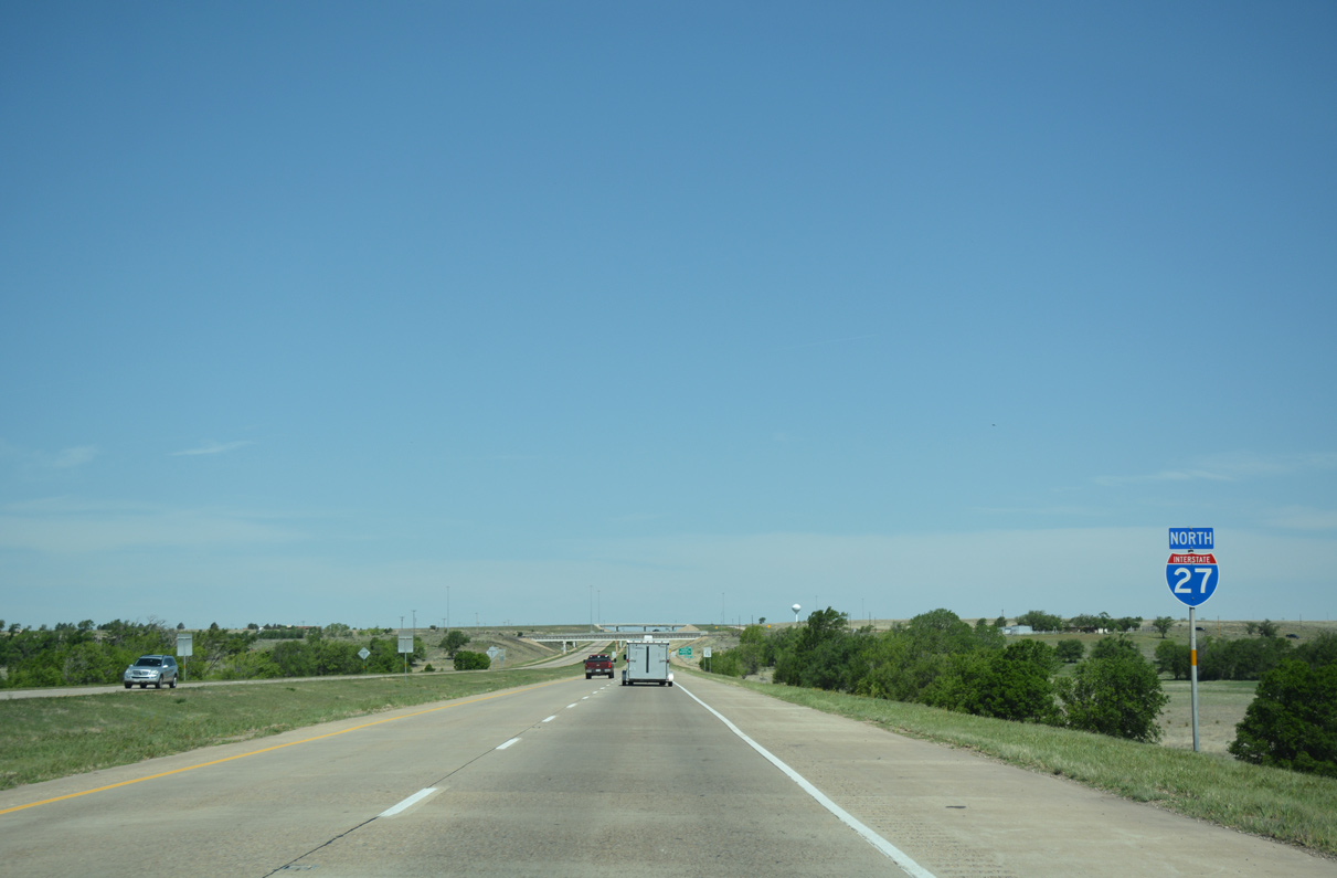
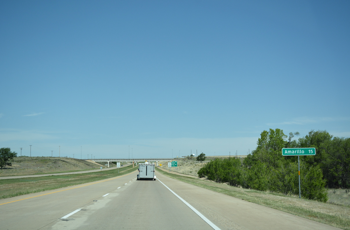
Interstate 27 North - Canyon to Amarillo


 North
North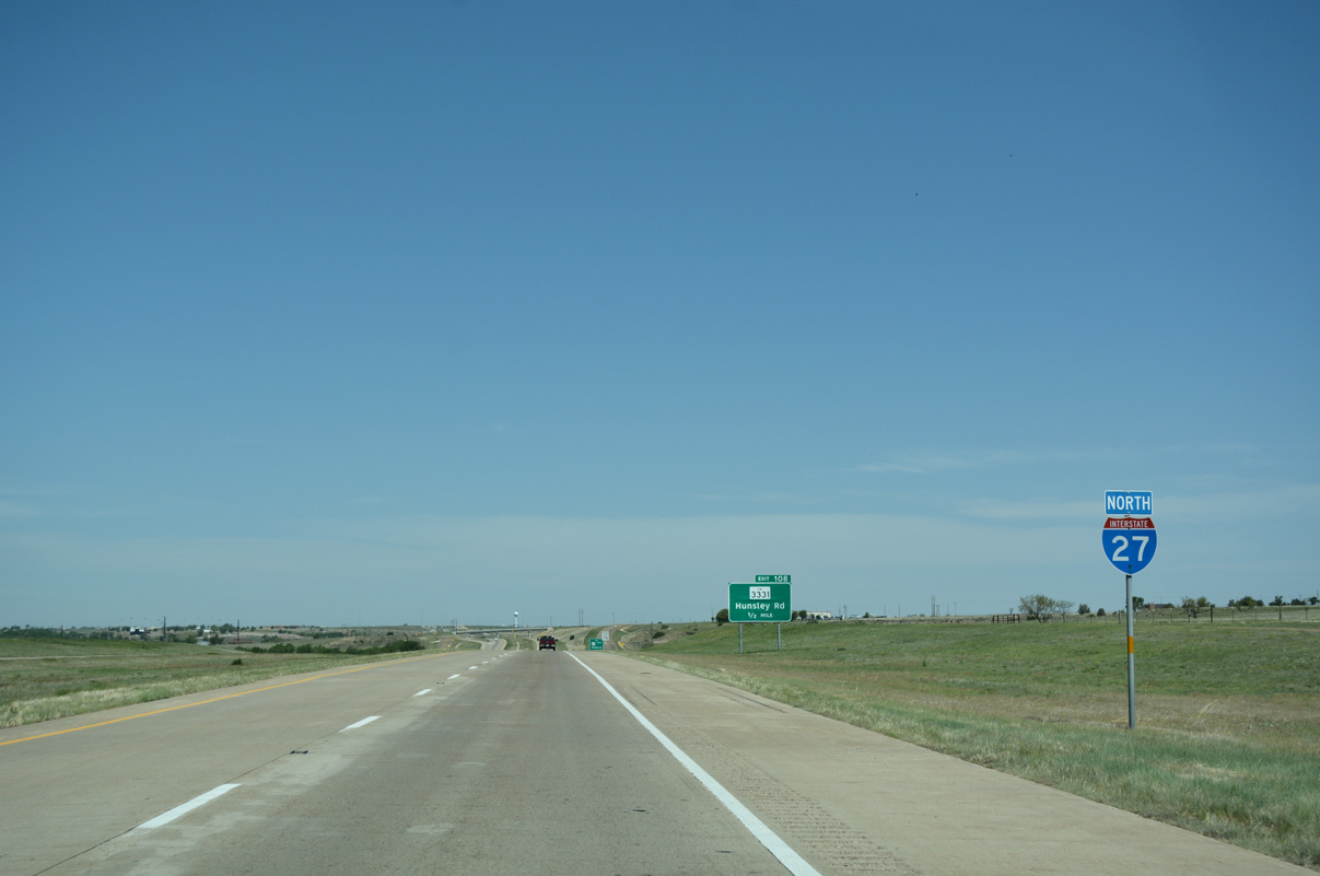
04/24/17
04/24/17
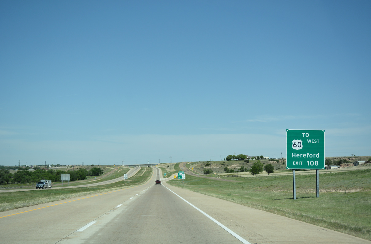
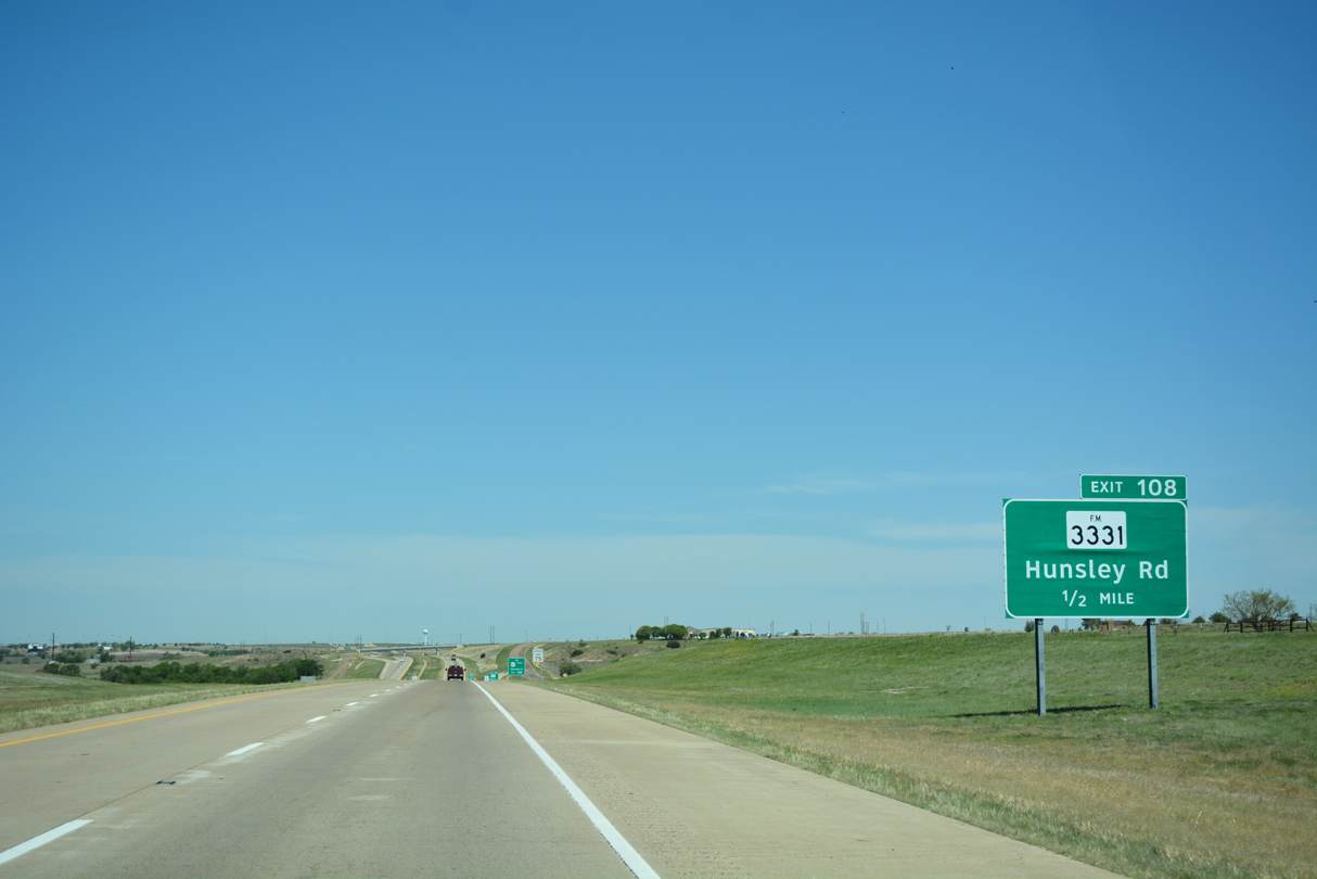
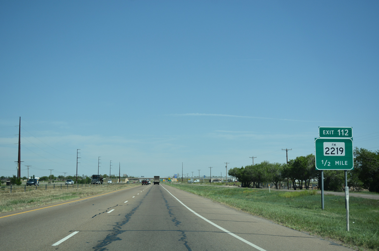
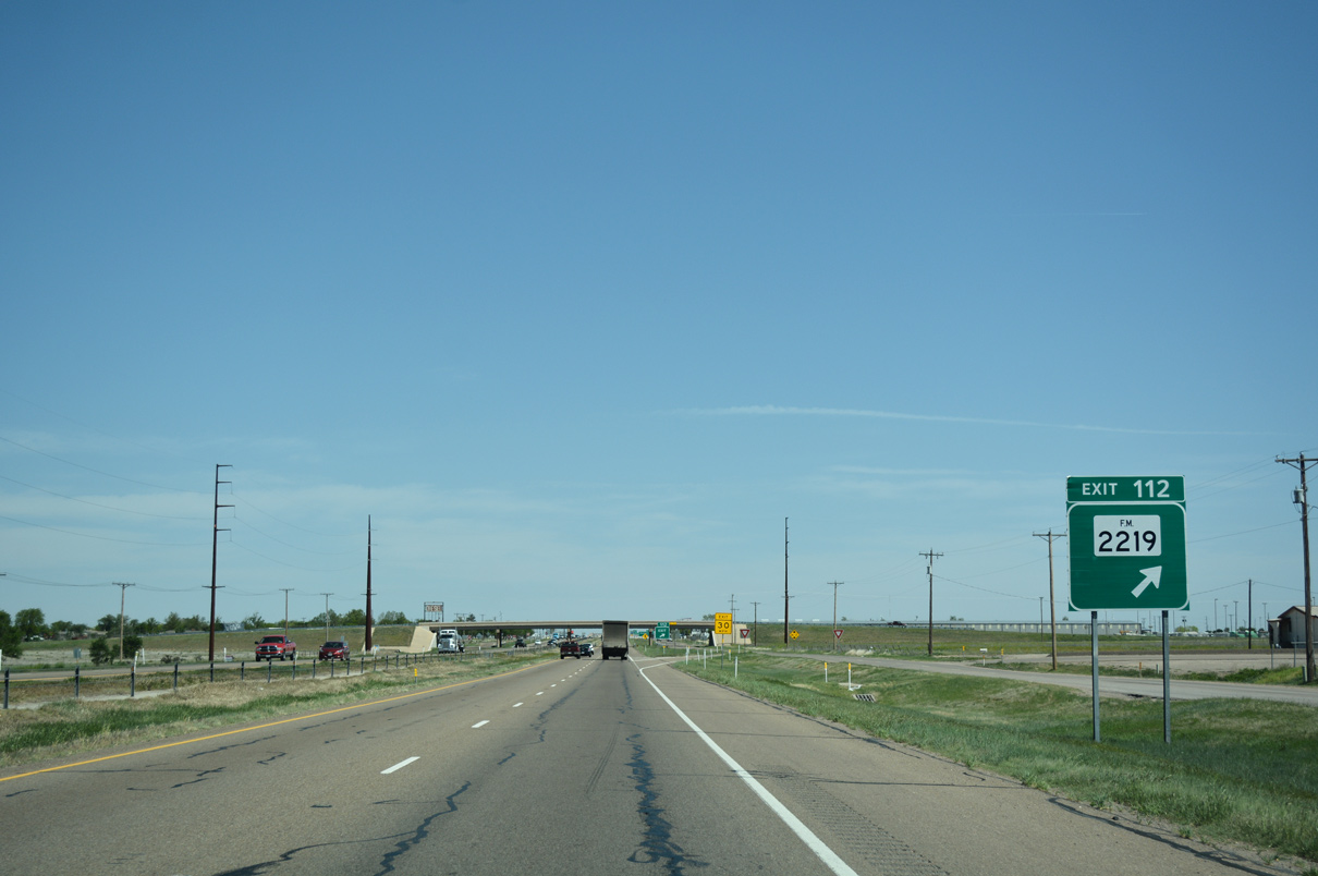
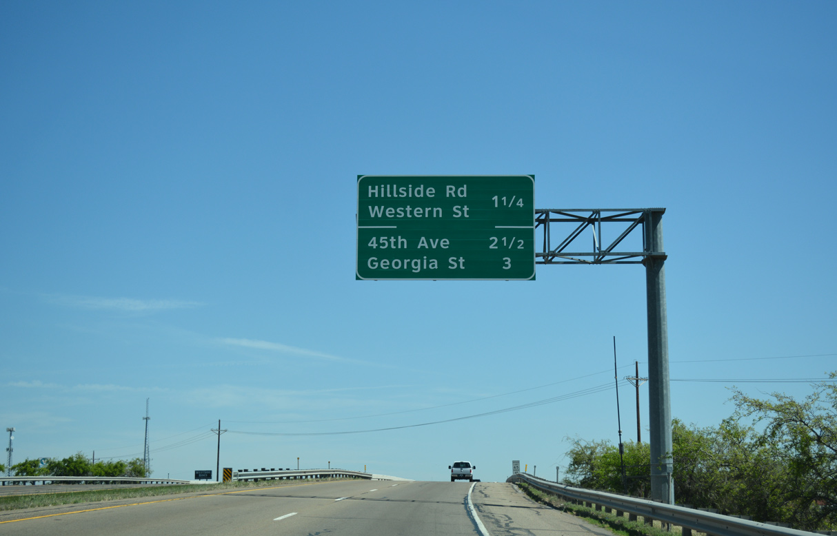
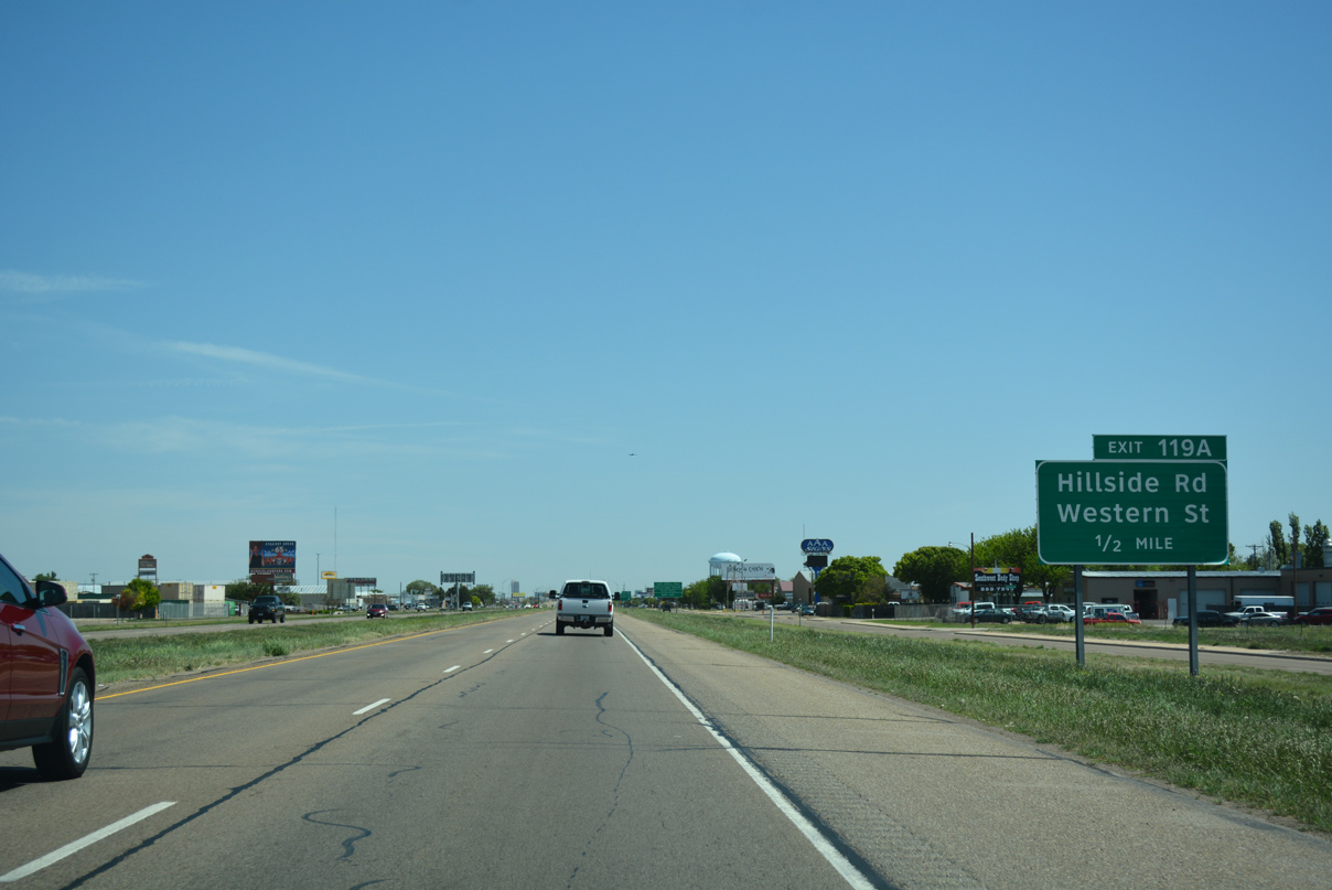
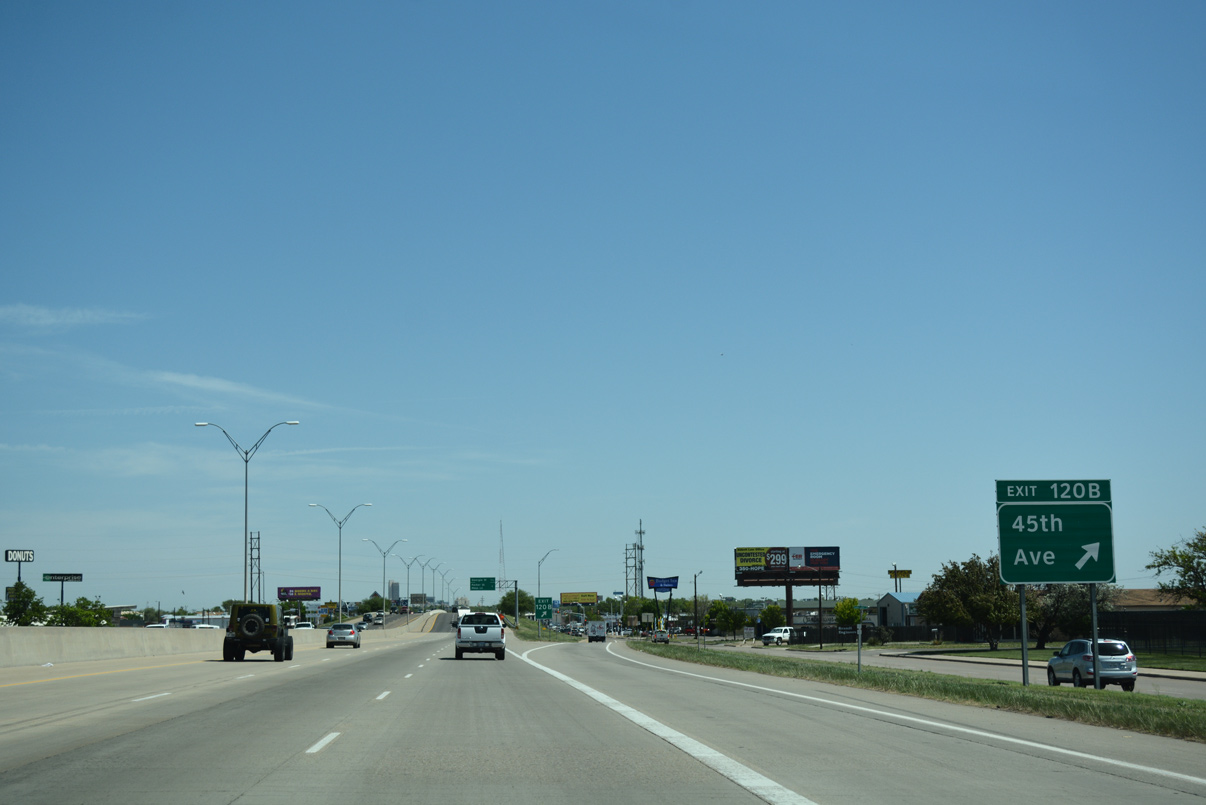
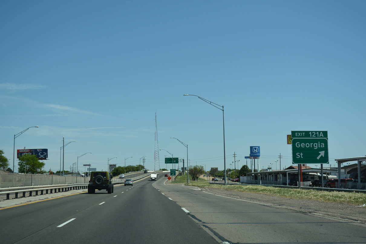
Upcoming Exit 108 (FM 3331) provides the connection between IH 27 north and U.S. 60 west.
04/24/17
04/24/17
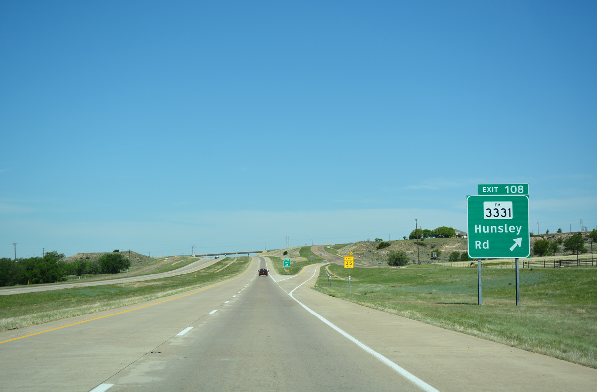
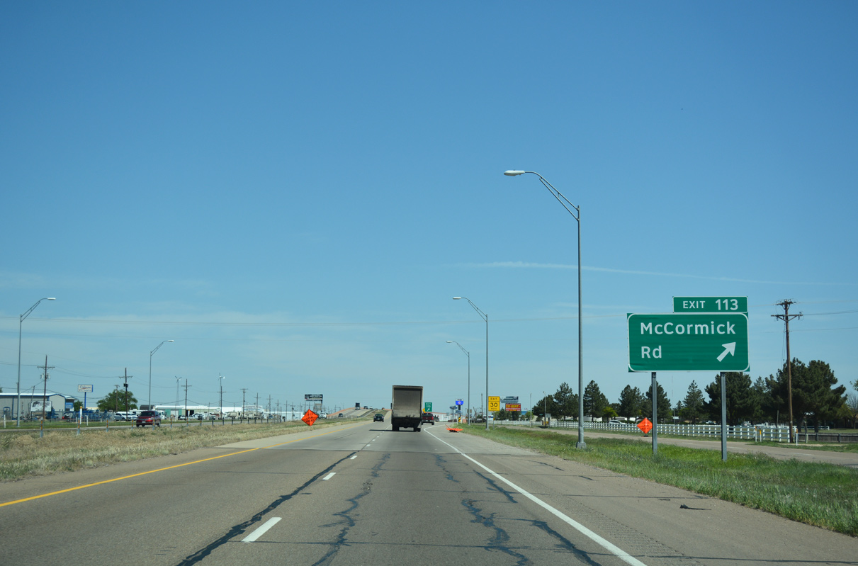
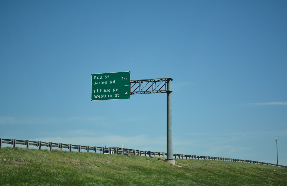
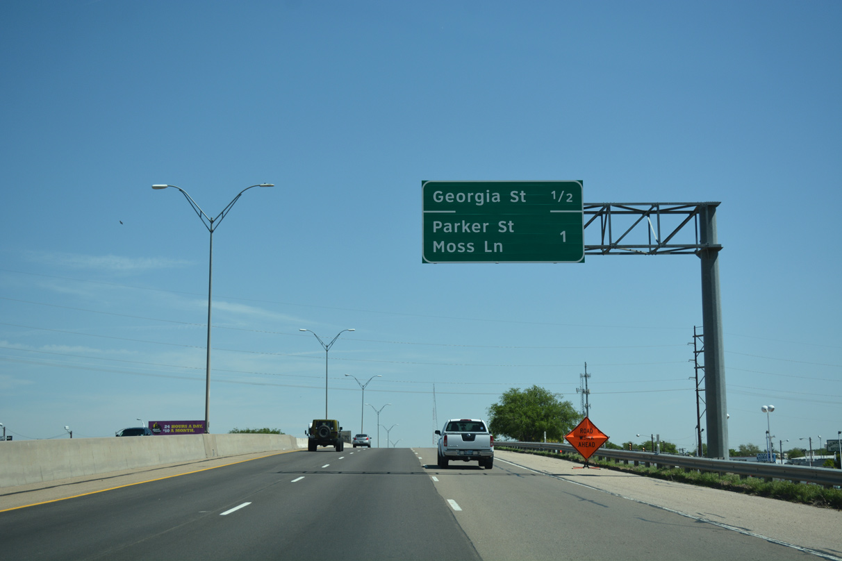
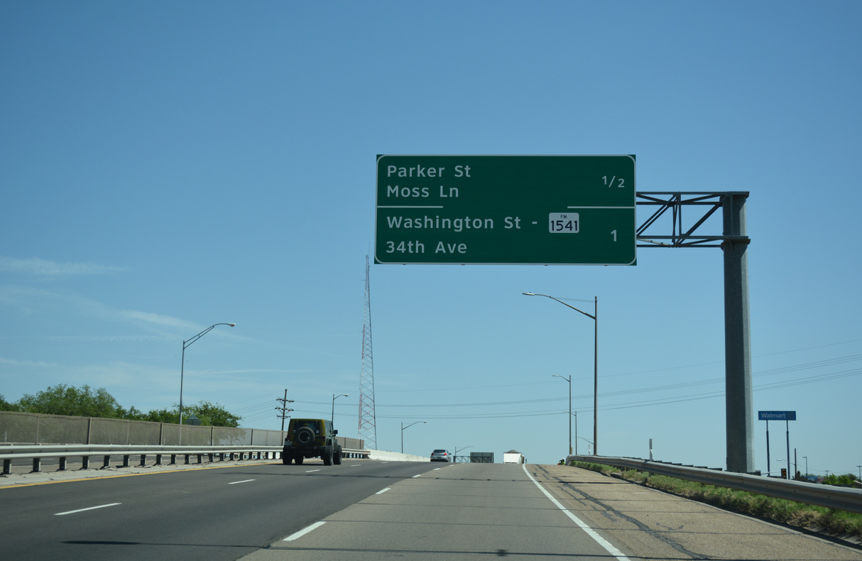
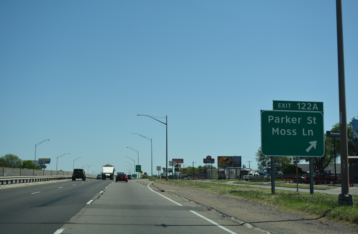
FM 3331 overlays Hunsley Road 1.3 miles west to an interchange with U.S. 60-87. Traveling east, FM 3331 connects with FM 1541.
04/24/17
04/24/17
04/24/17
04/24/17
04/24/17
04/24/17
04/24/17
04/24/17
 North
North  East
East 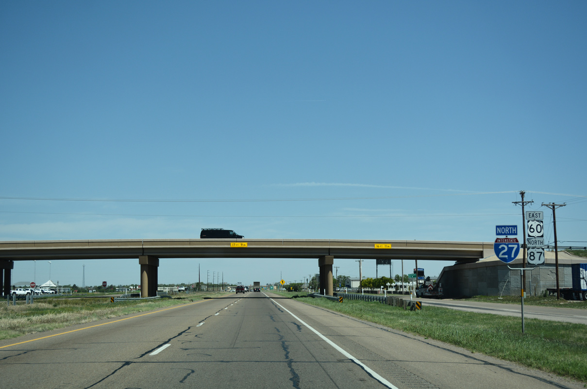
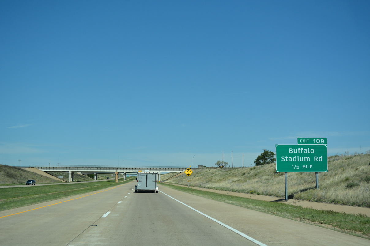
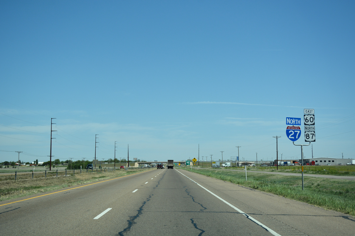
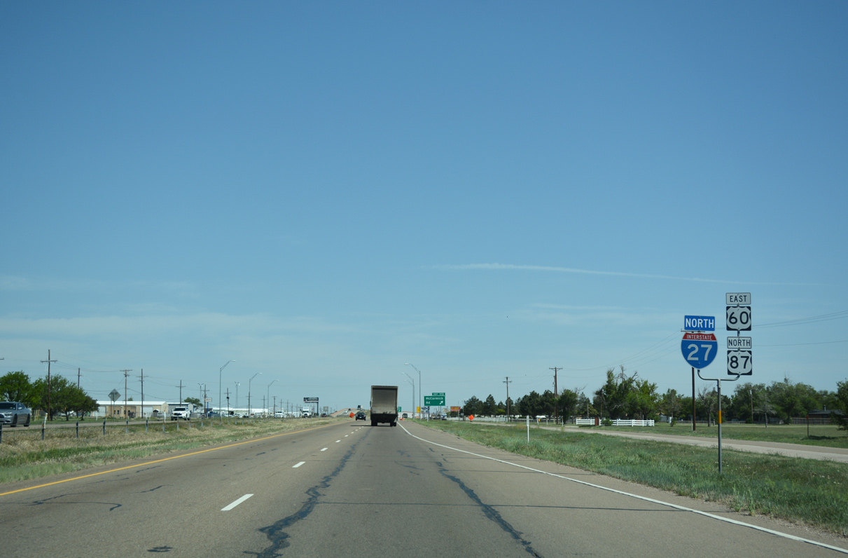
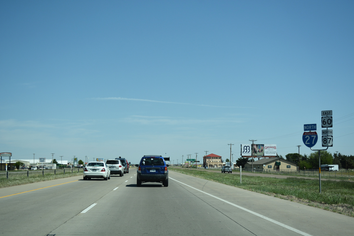
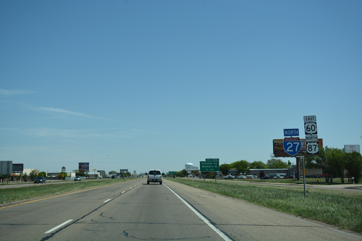
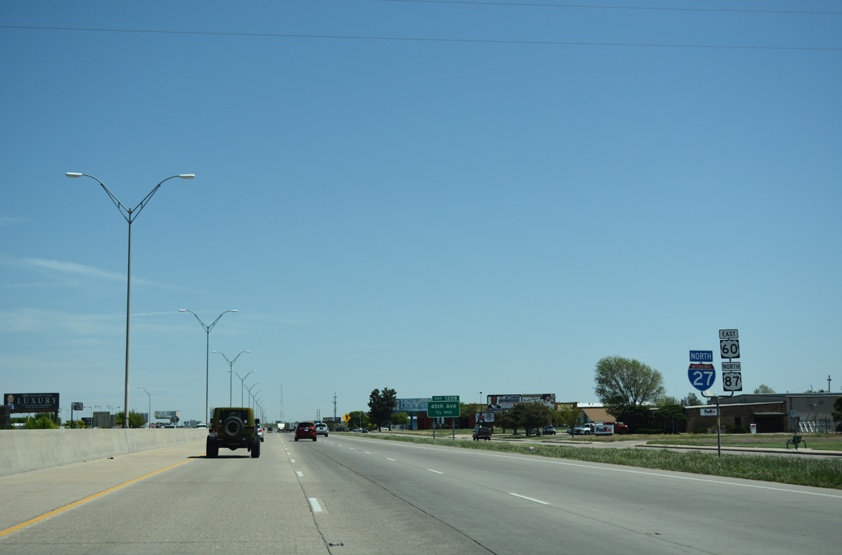
U.S. 60 east and U.S. 87 north joins IH 27 as the freeway turns north ahead of Rockwell Road (Exit 111). The two U.S. highways accompany IH 27 to Amarillo.
04/24/17
04/24/17
04/24/17
04/24/17
04/24/17

04/24/17
04/24/17
04/24/17
04/24/17
04/24/17
04/24/17
04/24/17
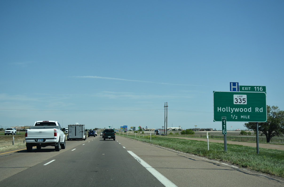
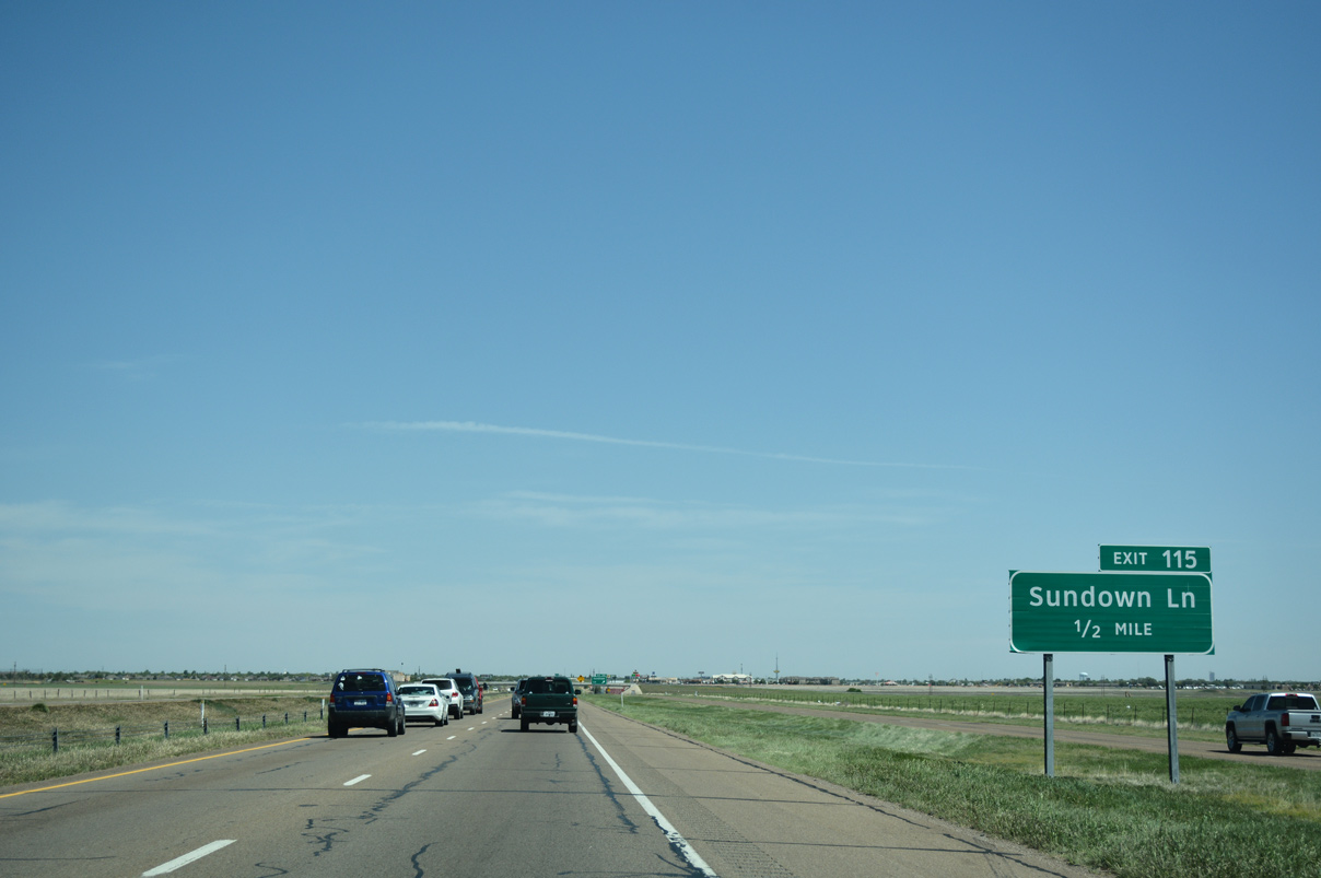
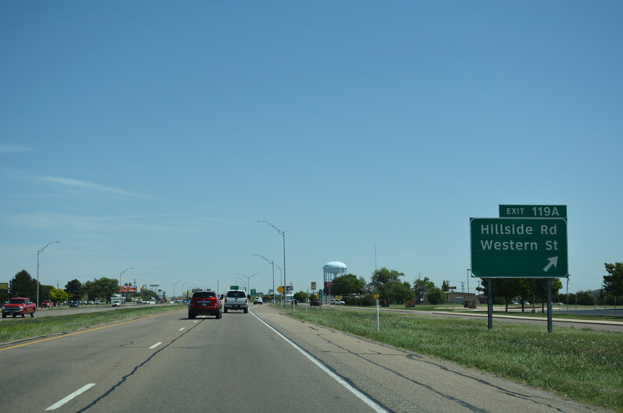
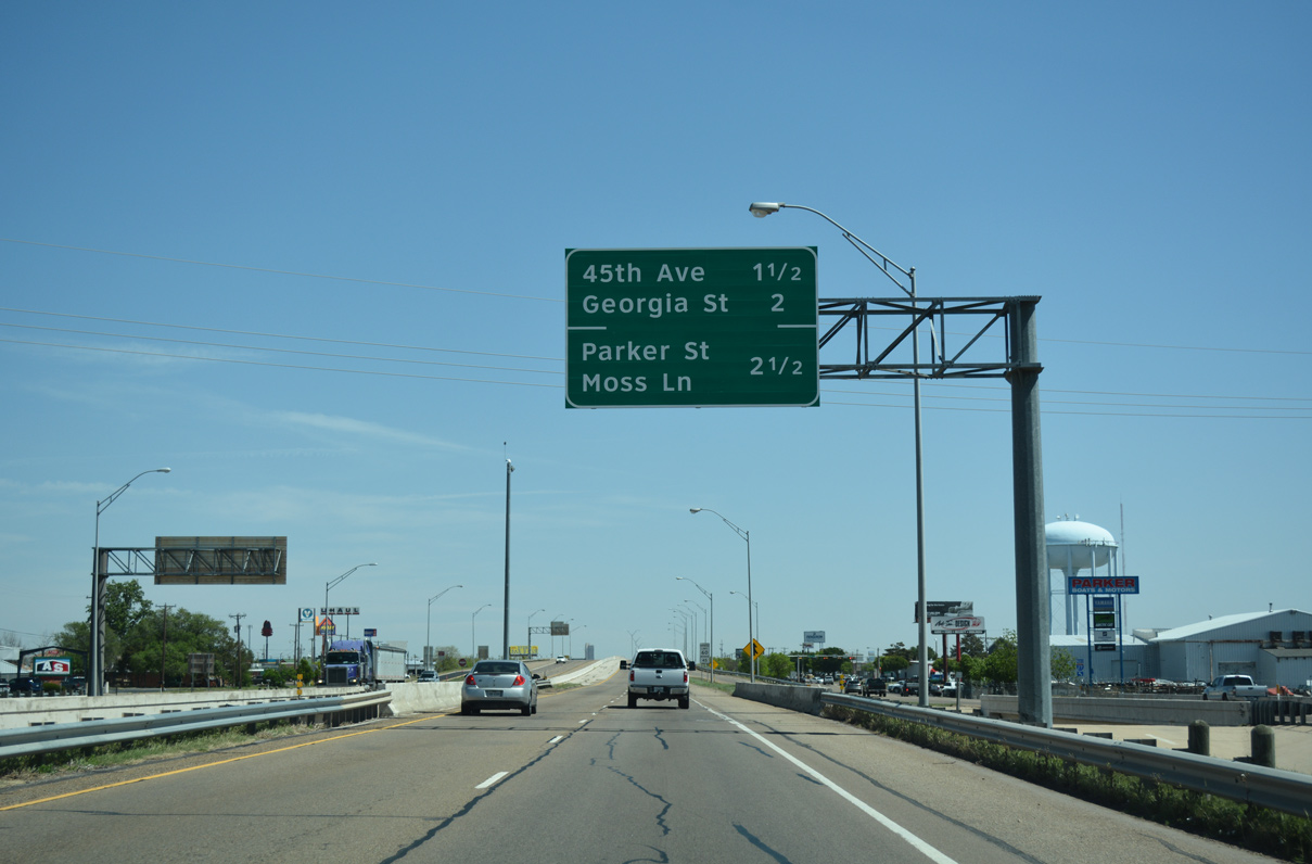
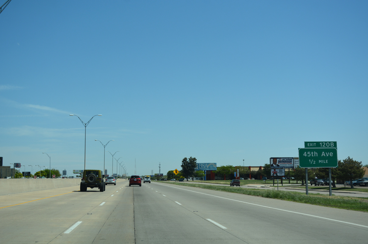
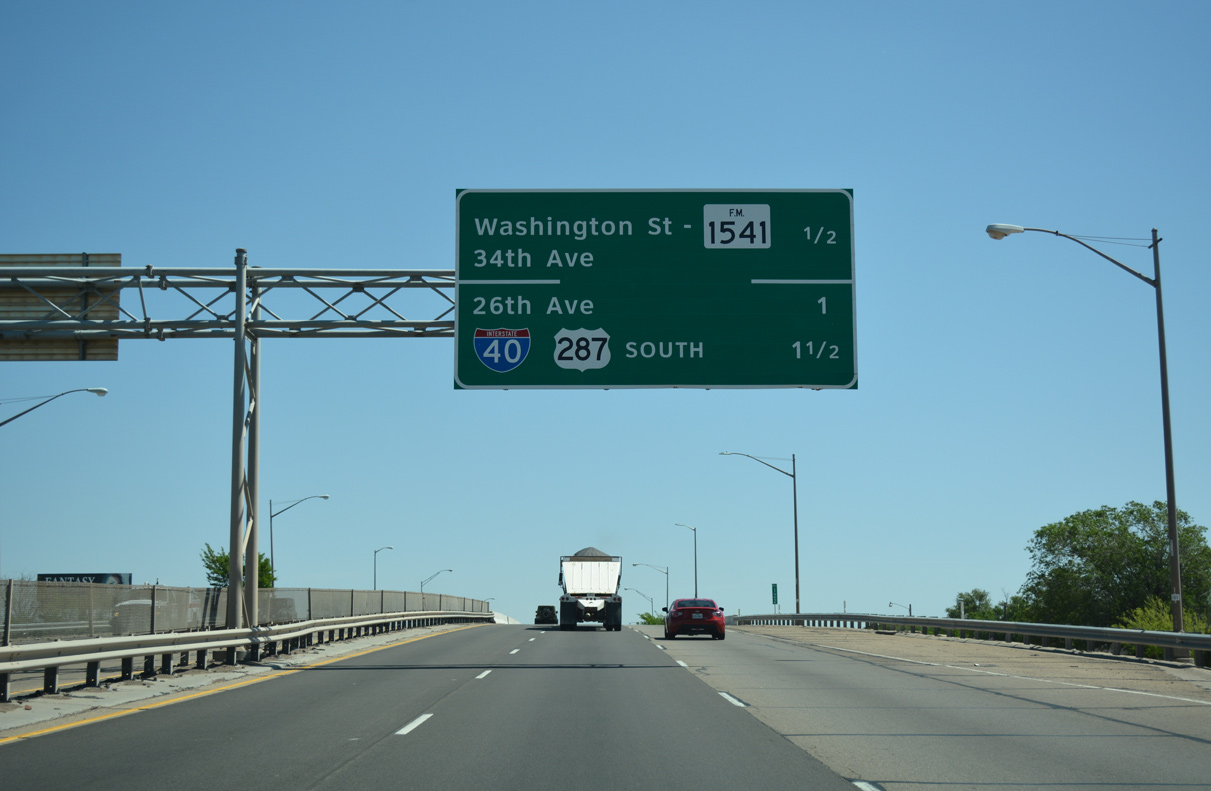
One half mile ahead of Exit 116 / SL 335 along IH 27/U.S. 60-87 north. SL 335 constitutes a 39.967 mile1 circumferential belt around Amarillo. The loop consists of at-grade and expressway portions, with upgrades underway or planned.
04/24/17
04/24/17
04/24/17
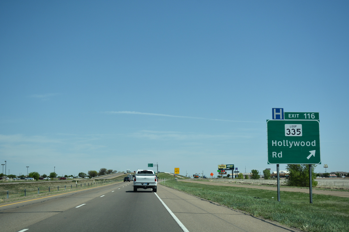
Construction through late 2022 expanded the diamond interchange (Exit 116) joining IH 27/SL 335 to accommodate expansion. Work through 2019 upgraded SL 335 east to limited access standards from IH 27 to FM 1541.2
04/24/17
04/24/17
04/24/17
04/24/17
04/24/17
04/24/17
04/24/17
04/24/17
04/24/17
04/24/17
04/24/17
04/24/17
04/24/17
04/24/17
04/24/17
04/24/17
04/24/17
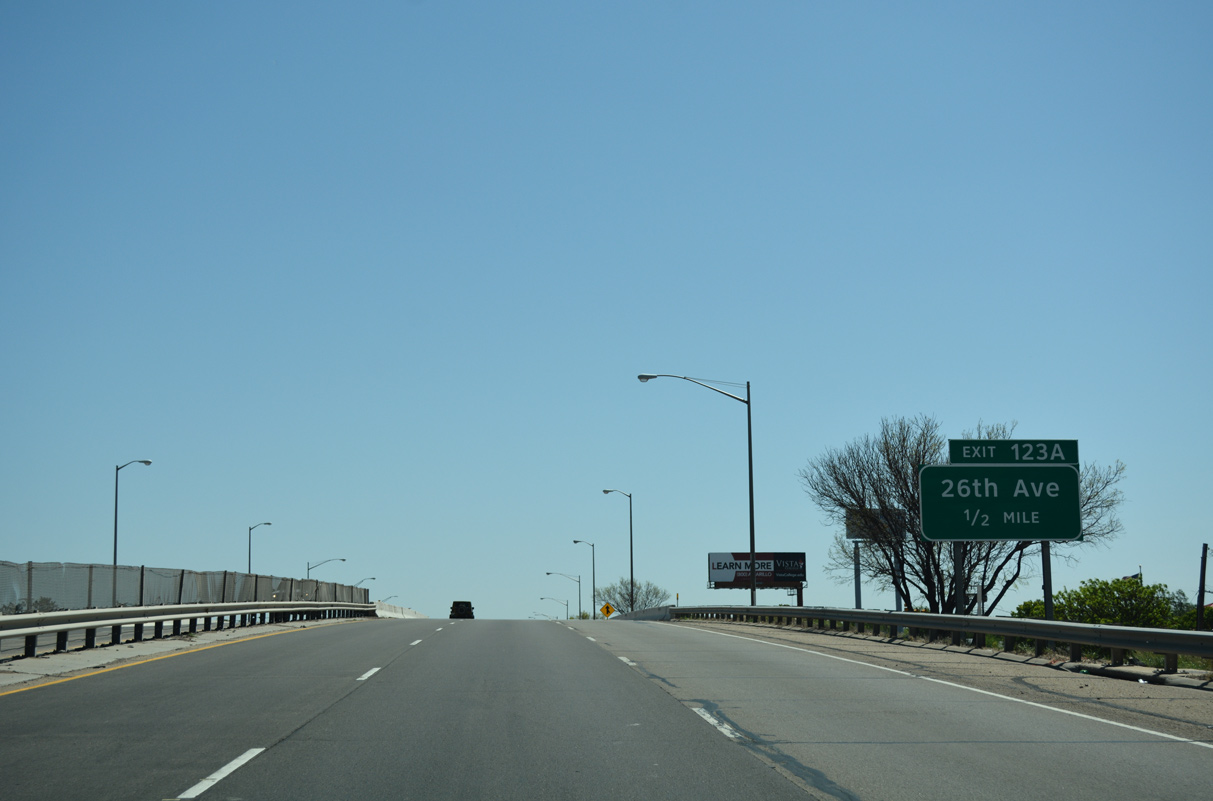
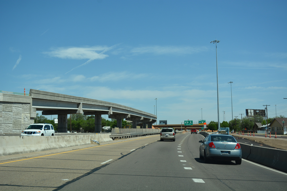
I-27 / U.S. 60-87 curves northward through Tyler Street and the diamond interchange (Exit 123A) with SE 26th Avenue.
04/24/17
04/24/17
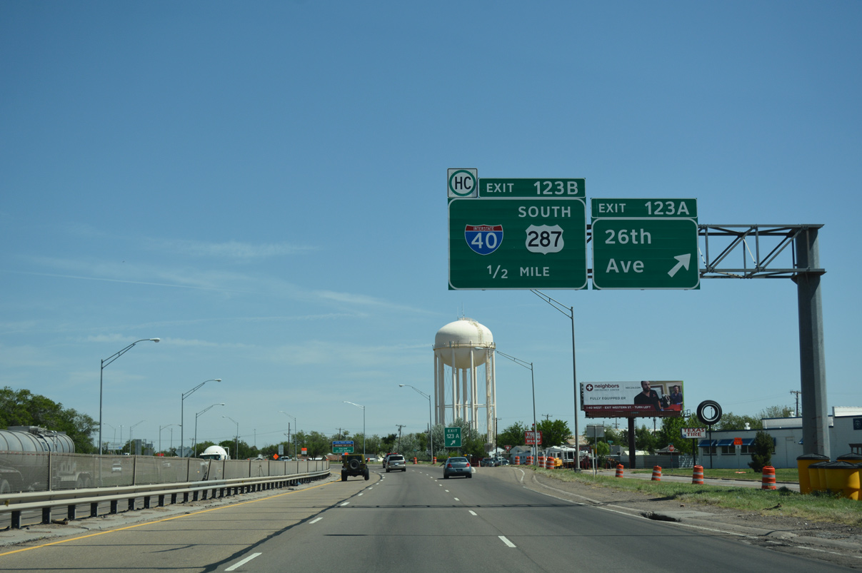
26th Avenue heads six blocks west of Canyon Drive to Jackson Street at Memorial Park and Amarillo College. SE 27th Avenue extends the street east below the BNSF Railroad yard to the Glenwood community.
04/24/17
04/24/17
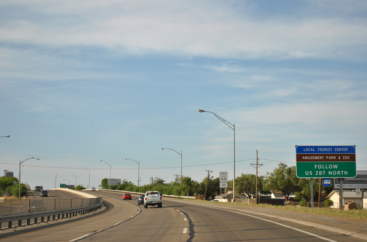
U.S. 287 joins U.S. 60 east and 87 north beyond the ending IH 27. U.S. 287 follows the outer couplet around Downtown to its freeway with U.S. 87 north to Amarillo Zoo and Wonderland Amusement Park.
05/05/12
05/05/12
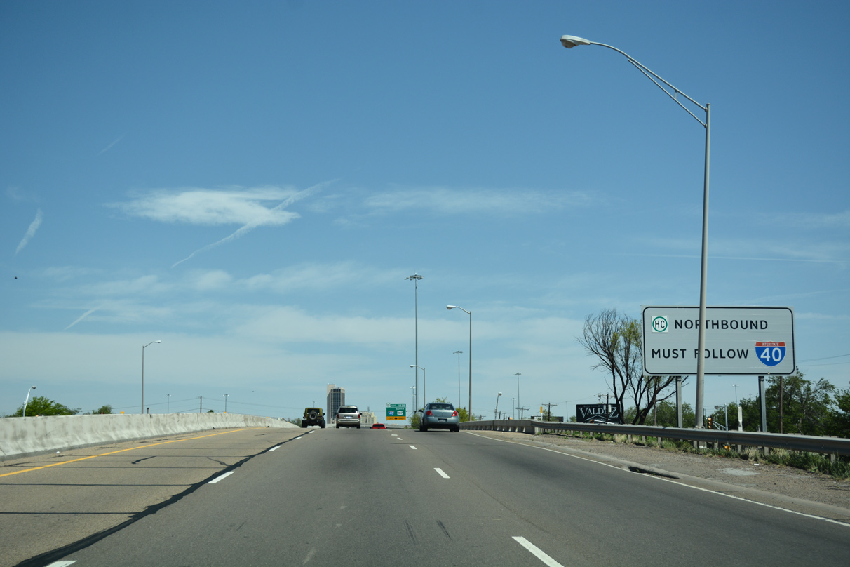
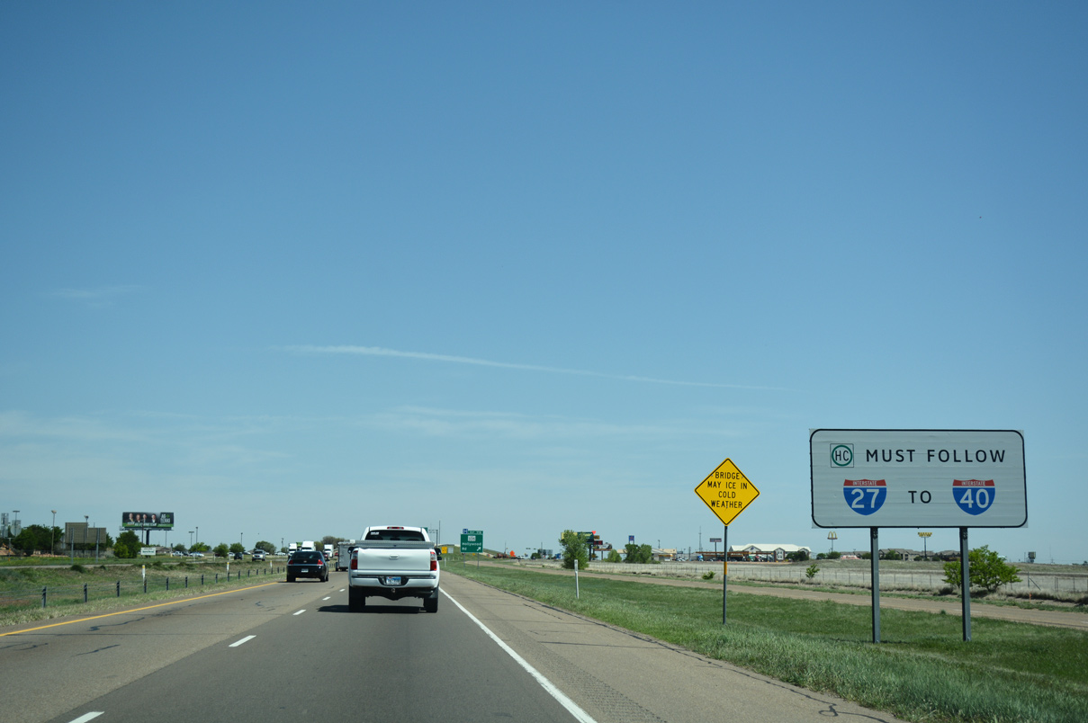
Vehicles transporting hazardous materials through Amarillo must take IH 40 in lieu of surface roads to continue beyond the city.
04/24/17
04/24/17
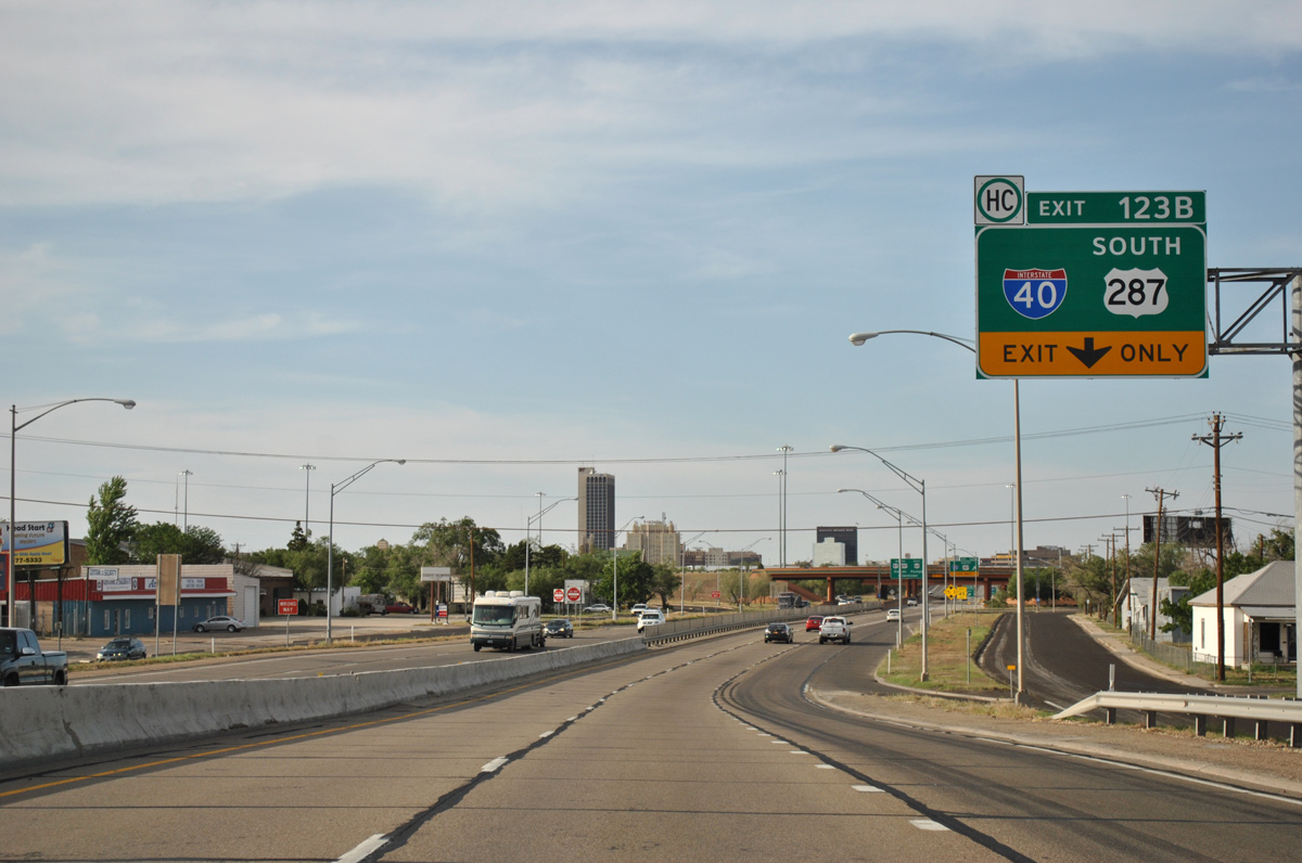
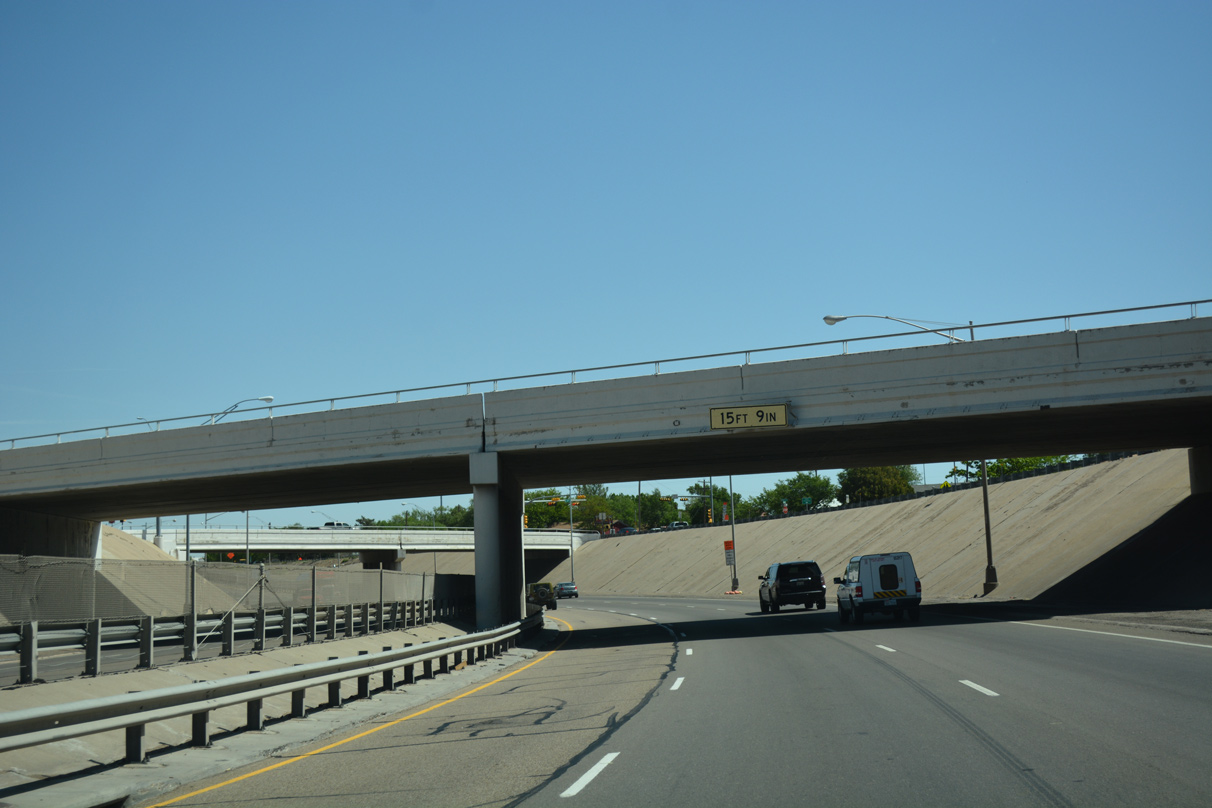
Prior to the completion of the direct ramp from IH 40 east to IH 27 south in November 2018, the Amarillo skyline came into view ahead of the turbine interchange at Exit 123 B.
05/05/12
05/05/12
Construction on the direct connect flyover linking IH 40 east with IH 27 south started in January 2017. Overall work was completed in Spring 2019 with expansion of IH 27 over 26th avenue.
04/24/17
04/24/17
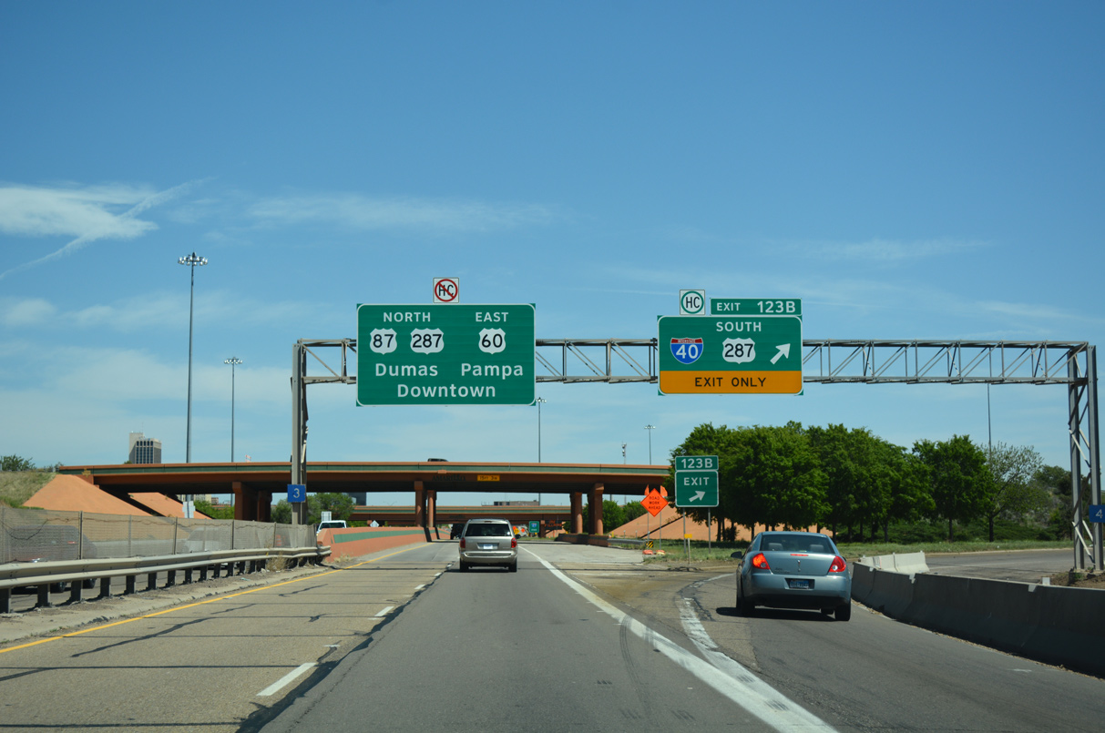
Exit 123 B departs IH 27 north for IH 40 west to Albuquerque, New Mexico and east to Oklahoma City, Oklahoma. U.S. 287 accompanies IH 40 to AMA Airport before turning southeast toward Fort Worth.
04/24/17
04/24/17
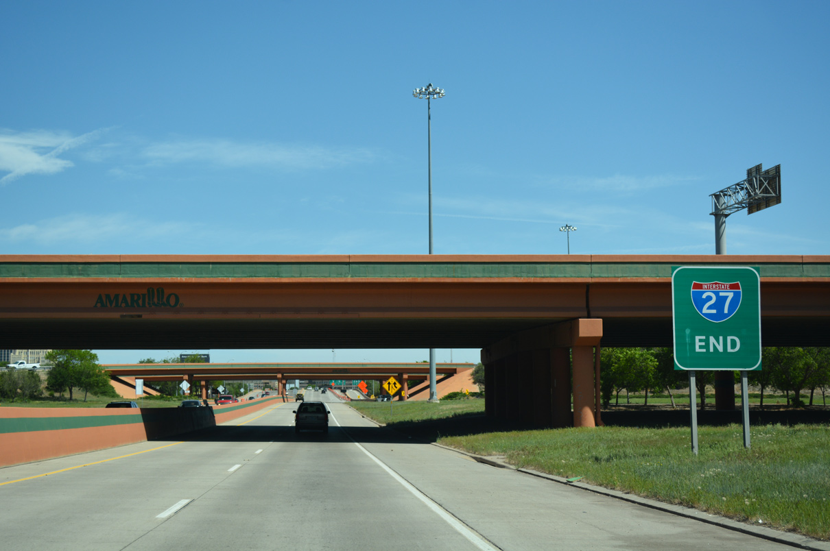
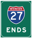
An end sign for IH 27 stands ahead of the overpasses carrying the IH 40 mainline.
04/24/17
04/24/17
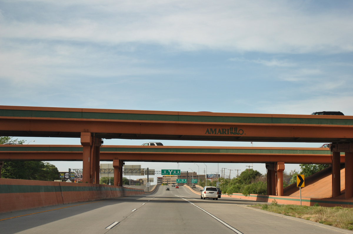
The interchange between IH 27 and 40 was reconfigured during a three year project finished in 2001. Freeway bridges throughout the city were repainted then to include the city logo.
05/05/12
05/05/12
East North 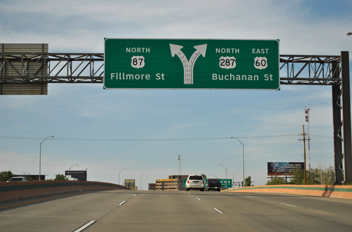
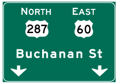
The advent of traffic from IH 40 east expands U.S. 60/87 north to four lanes ahead of their separation through Downtown Amarillo. A two-wye interchange joins the end of IH 27 with Buchanan and Fillmore Streets, three lane arterials flowing north to Business Loop I-40/Historic U.S. 66 (Amarillo Boulevard).
05/05/12
05/05/12
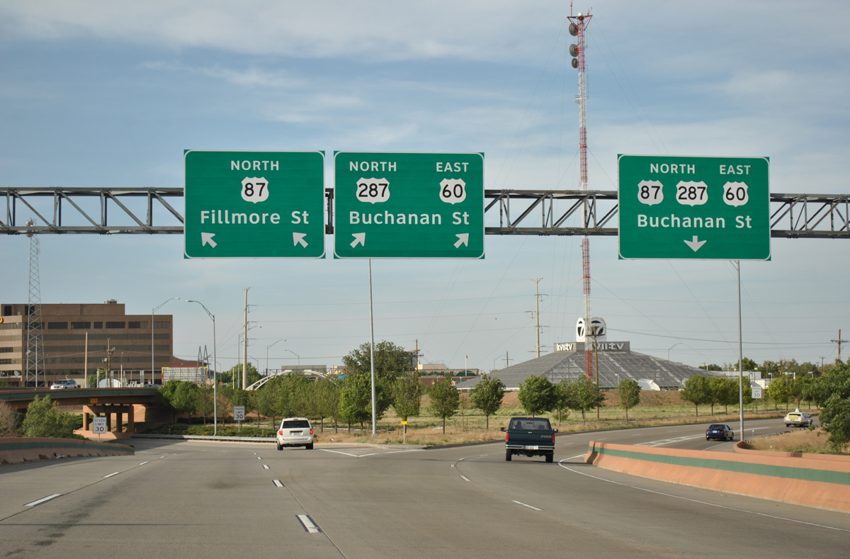
U.S. 60-87-287 utilize a pair of one way couplets through Downtown Amarillo. From west to east, Taylor Street carries U.S. 287 southbound, Fillmore Street U.S. 87 northbound, Pierce Street U.S. 60/87 south, and Buchanan Street U.S. 60/287 north.
05/05/12
05/05/12
North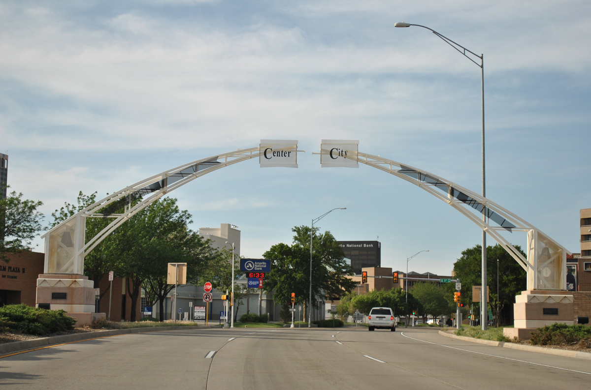
U.S. 87 transitions onto Fillmore Street north beyond the City Center gateway arch.
05/05/12
05/05/12
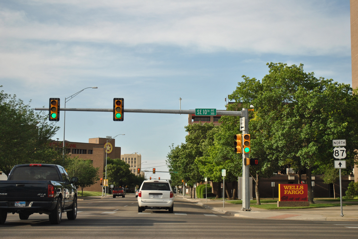
Northbound U.S. 87 at SE 10th Avenue. Parallel Polk Street, two blocks to the west, is the dividing line between west and east street addresses in Amarillo.
05/05/12
05/05/12
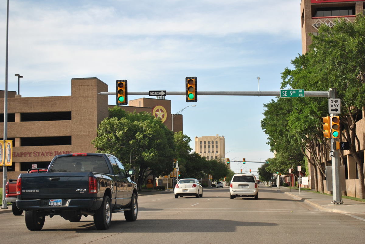
SE 9th Avenue flows east from U.S. 87 (Fillmore Street), five blocks to Grant Street in an industrial area besides the BNSF Railroad yard.
05/05/12
05/05/12
References:
- State Loop 335 Highway Designation File, TxDOT website (txdot.gov).
- State Loop 335 Corridor Map, City of Amarillo Geographic Information Systems (GIS) Department website.
Photo Credits:
- ABRoads, Chris Kalina: 04/24/17
- ABRoads: 05/05/12
Connect with:
Page Updated Thursday April 06, 2017.