
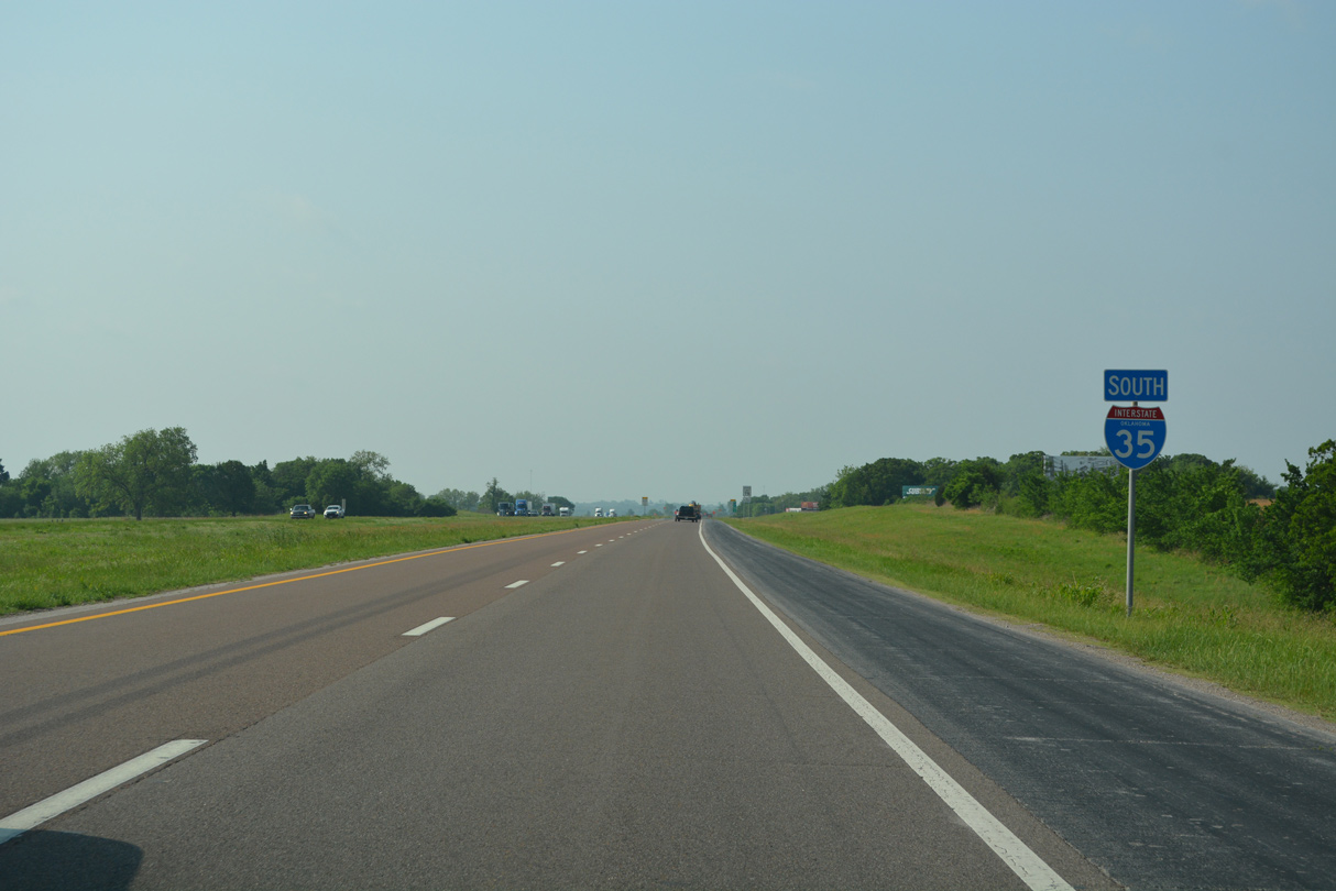
Interstate 35 South - Wayne to Springer

 South
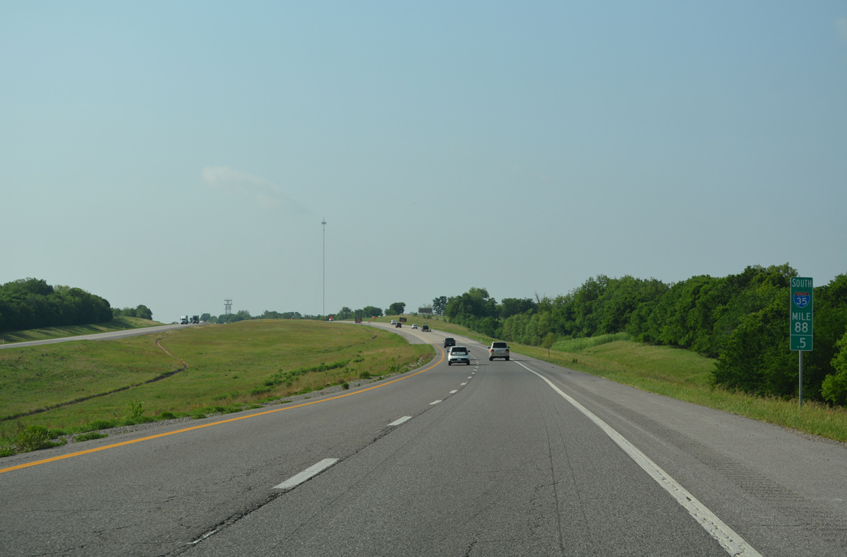
South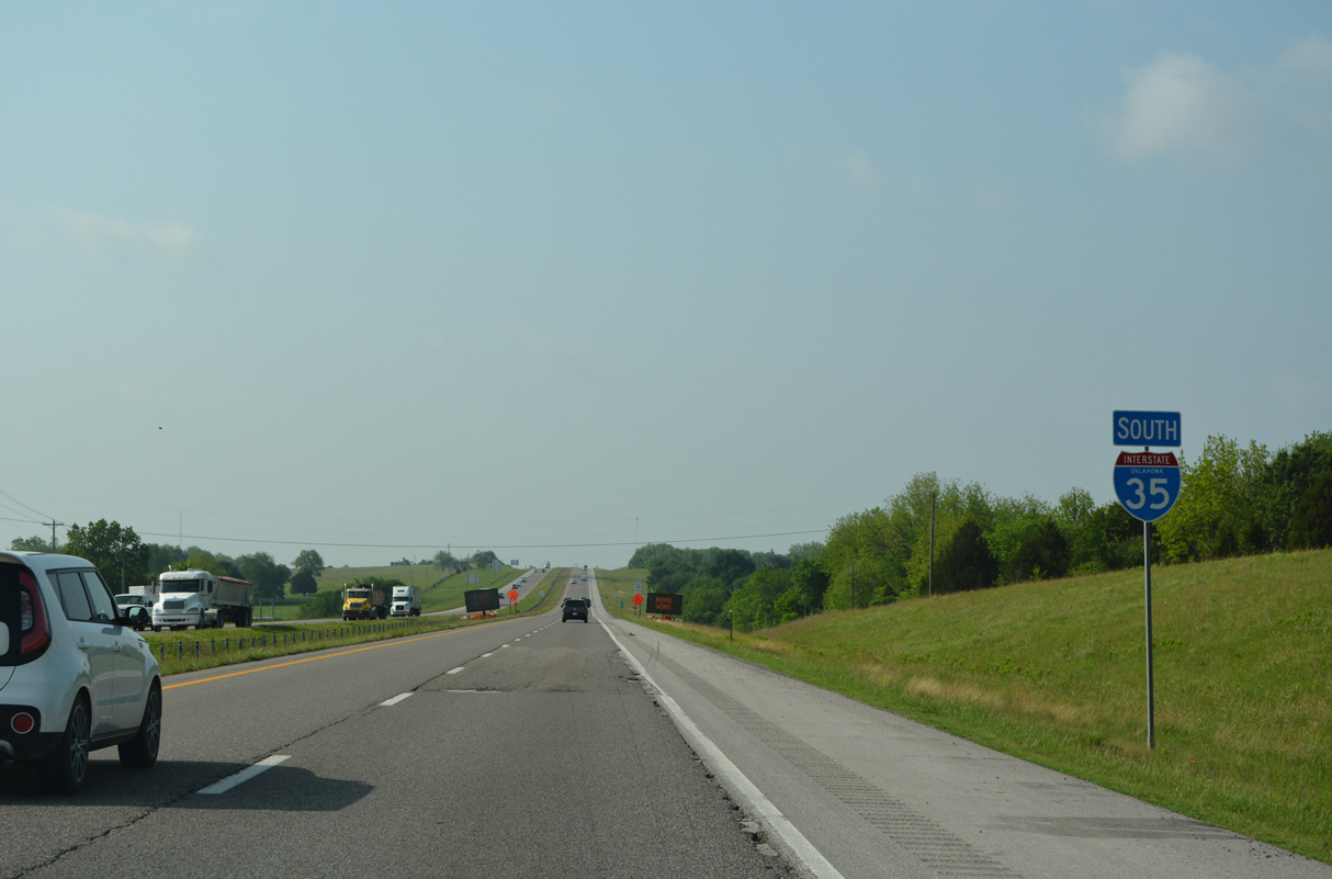
05/10/22
05/10/22
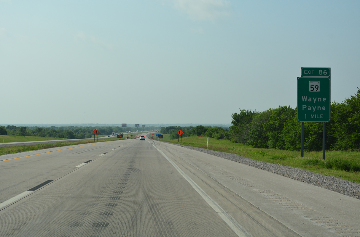
A rural diamond interchange at Exit 86 joins Interstate 35 with SH 59 at the southern extent of the Purcell city limits.
05/10/22
05/10/22
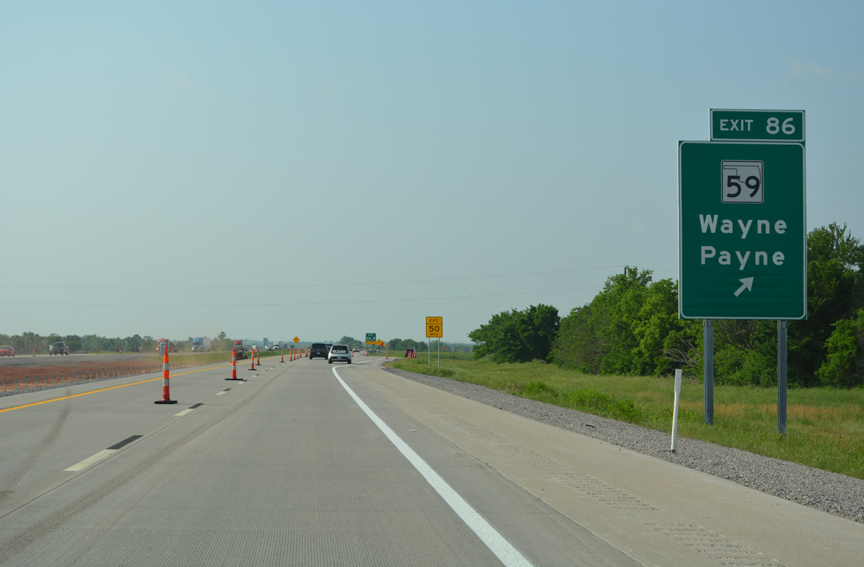
SH 59 runs east to U.S. 77 and the town of Wayne. West from Exit 86, SH 59 continues 11.5 miles to the settlement of Payne.
05/10/22
05/10/22
05/10/22
05/10/22
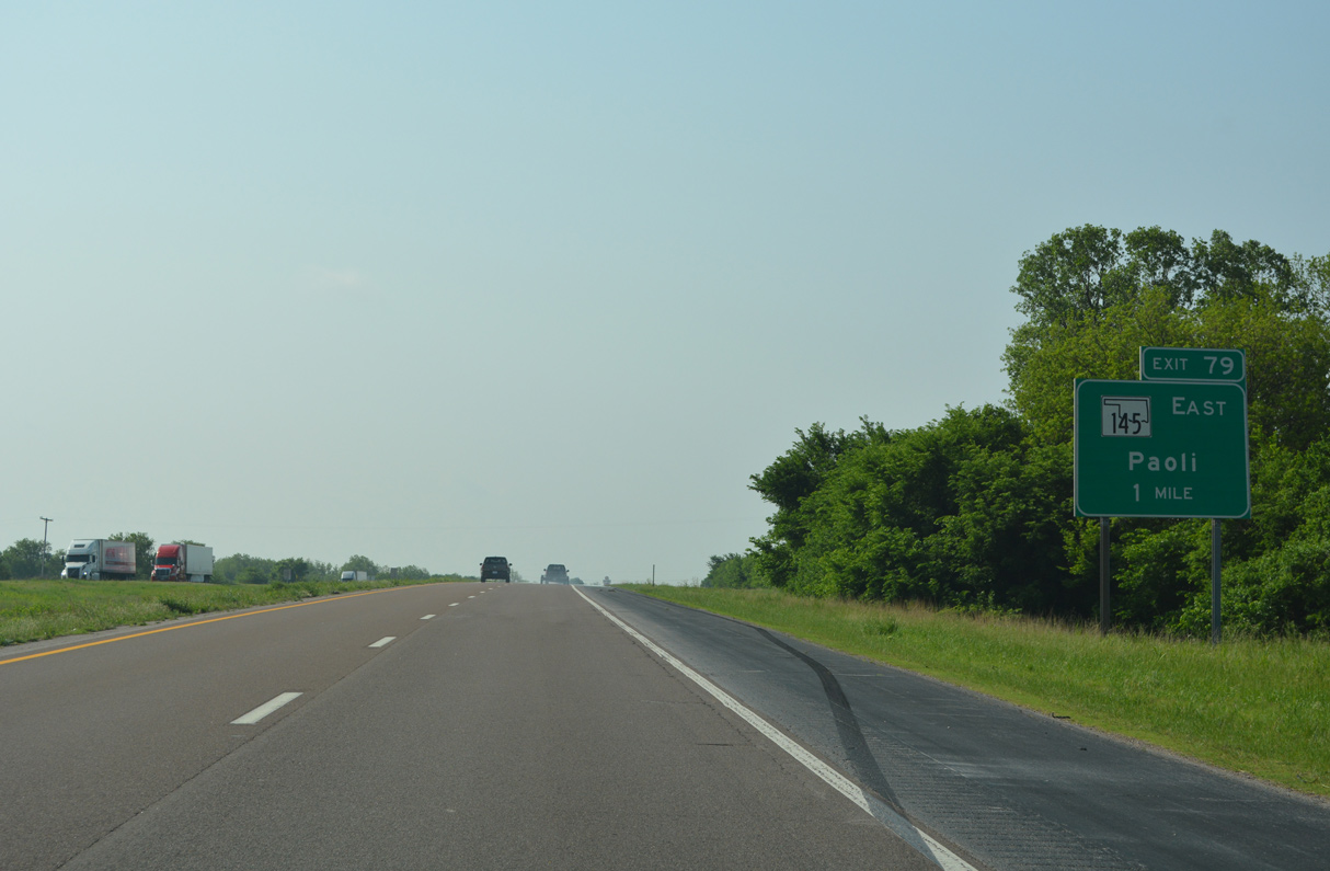
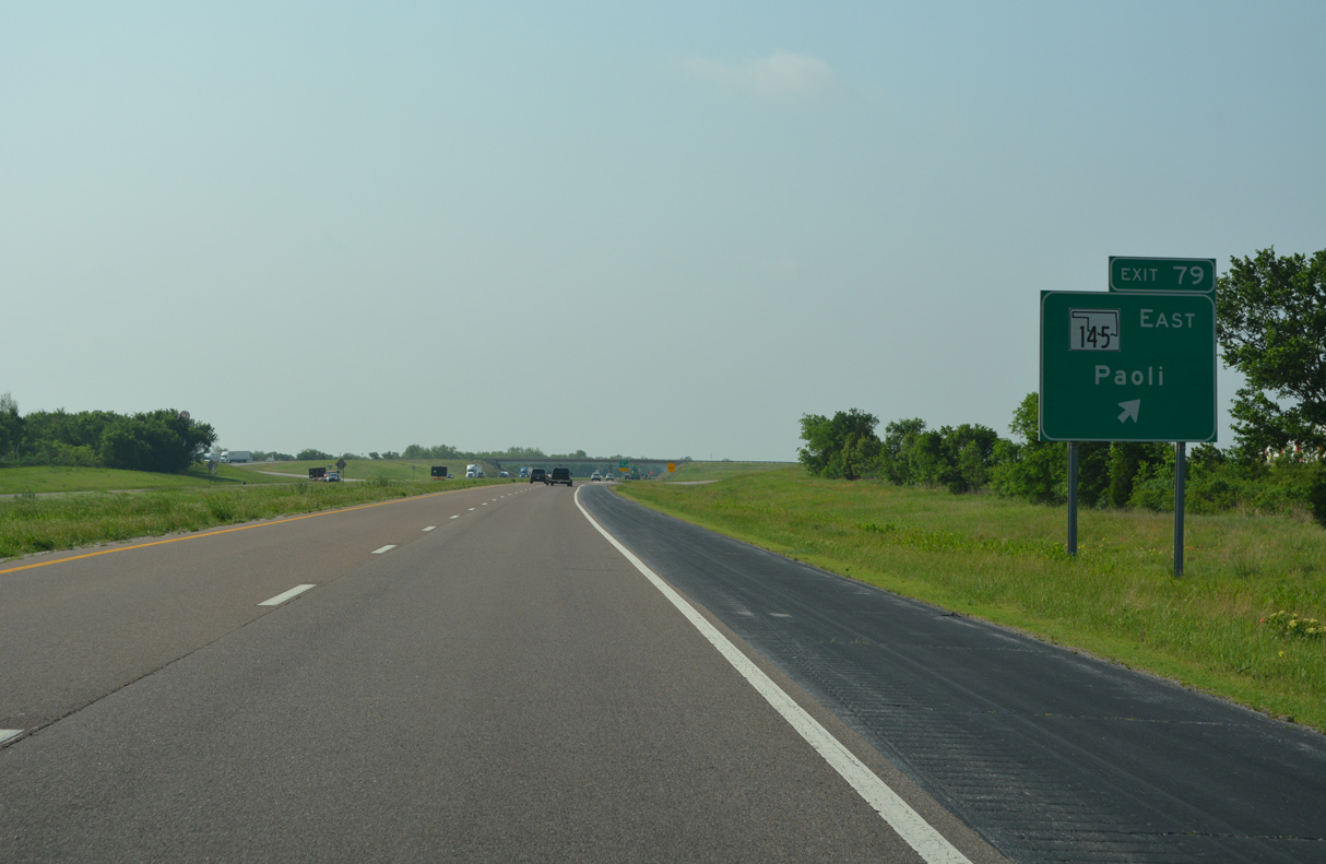
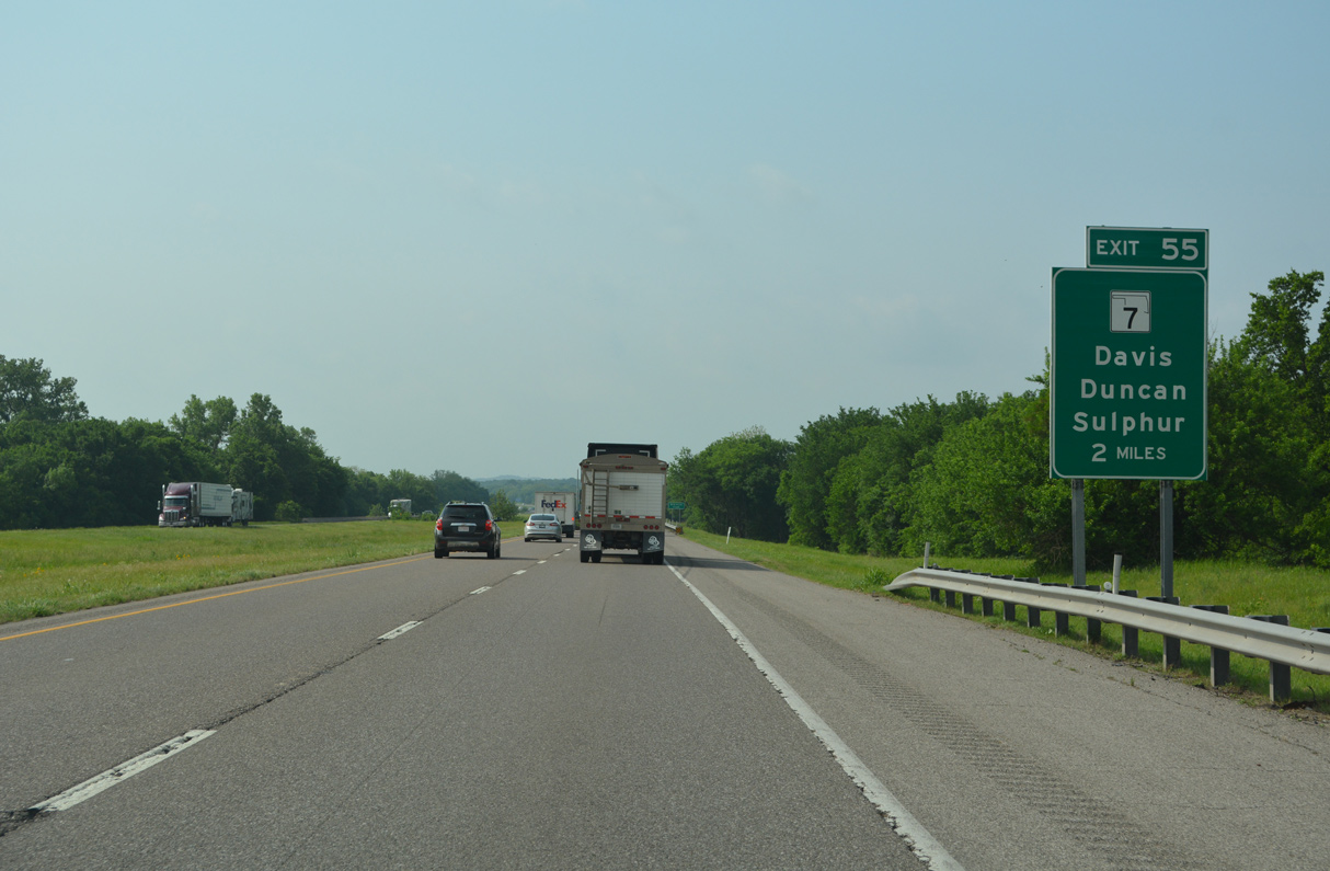
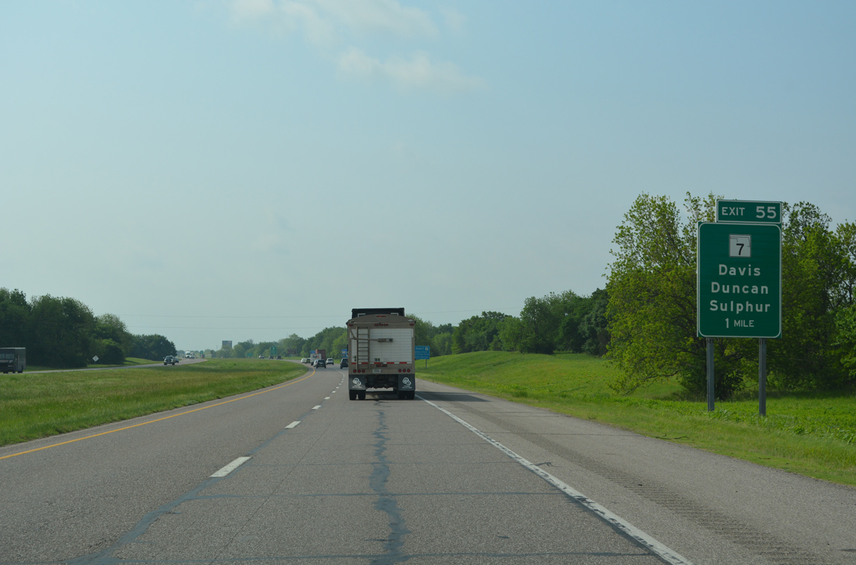
SH 145 stems 2.83 miles east from forthcoming Exit 79 to U.S. 77 in the town of Garvin.
05/10/22
05/10/22
05/10/22
05/10/22
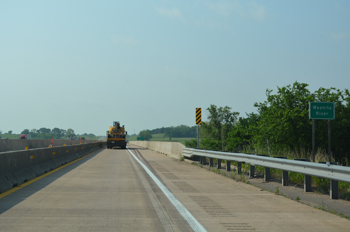
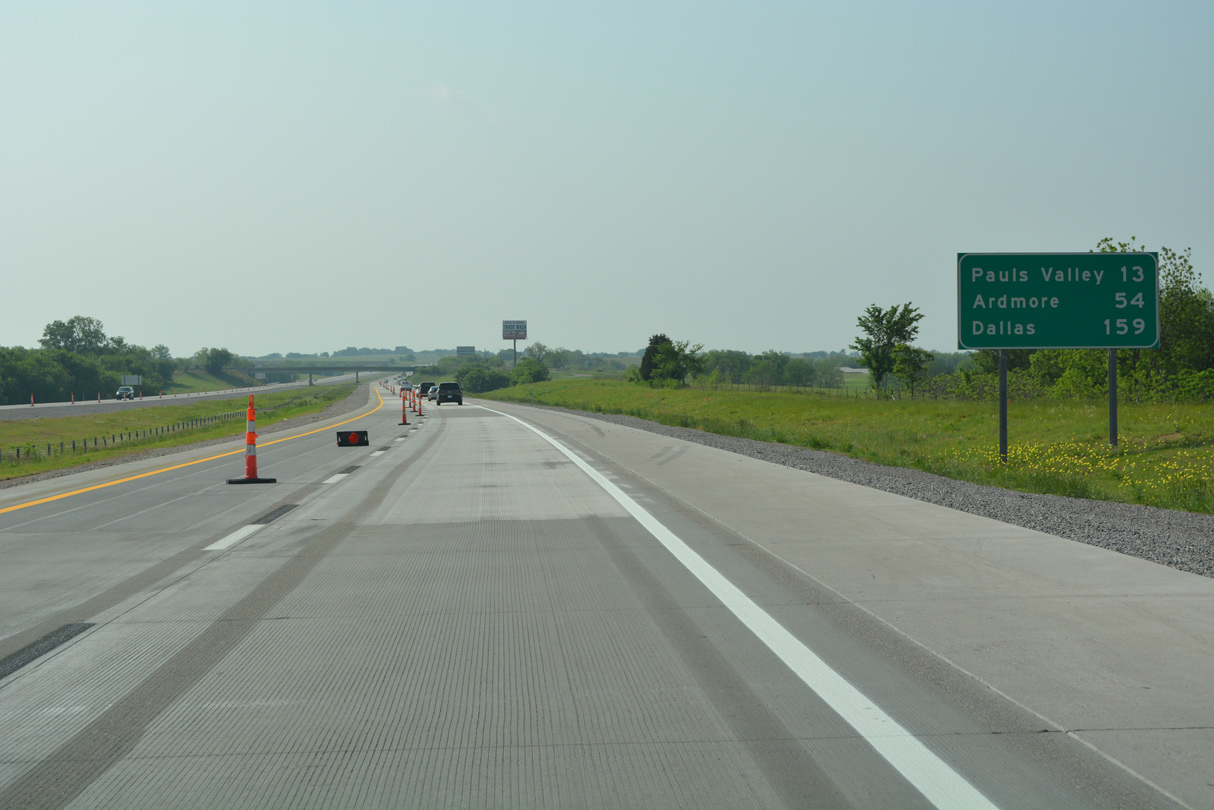
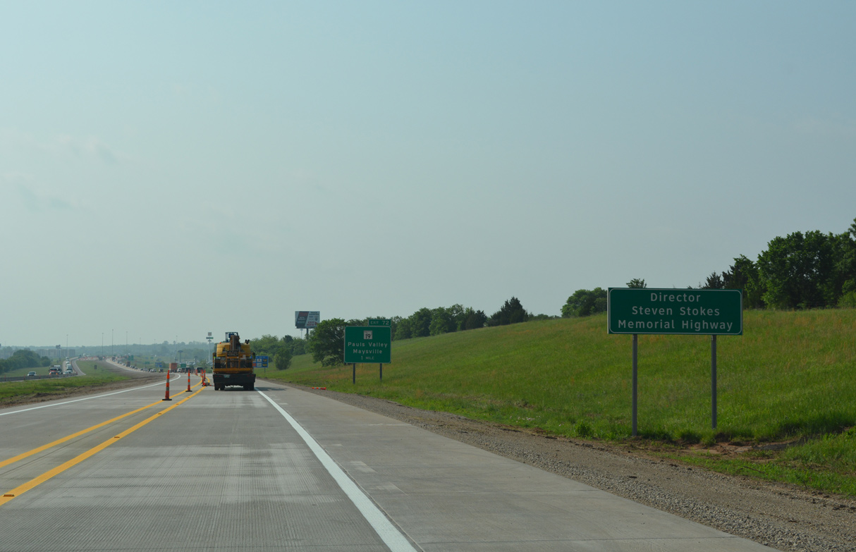
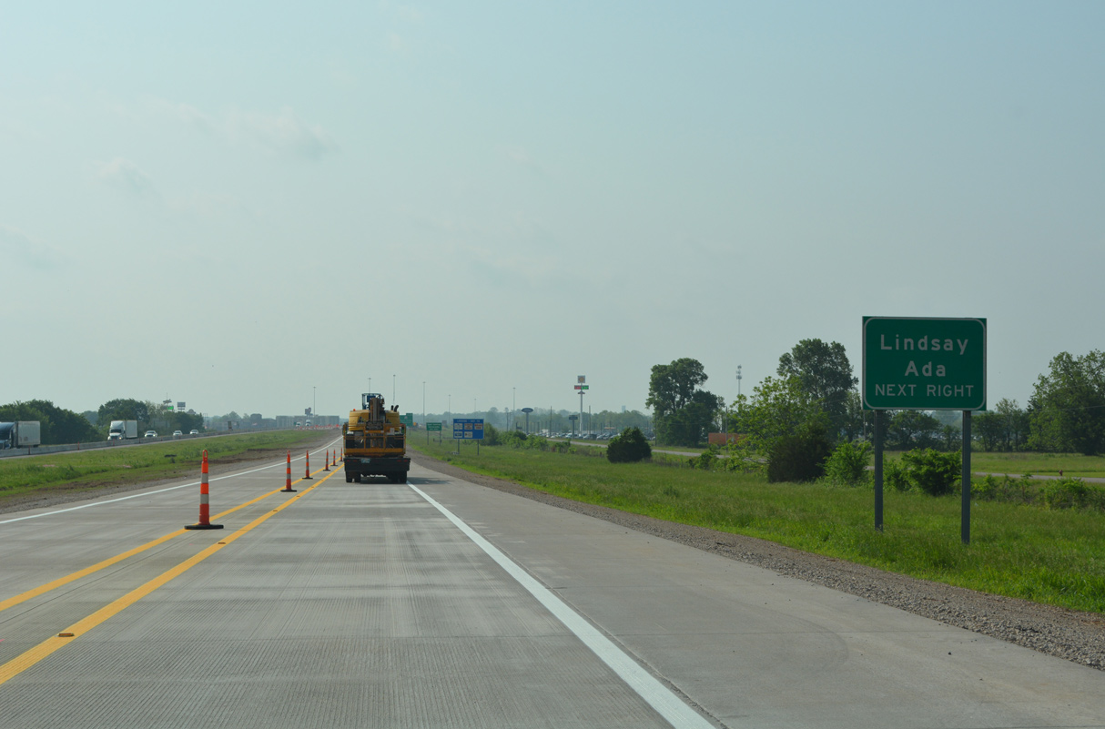
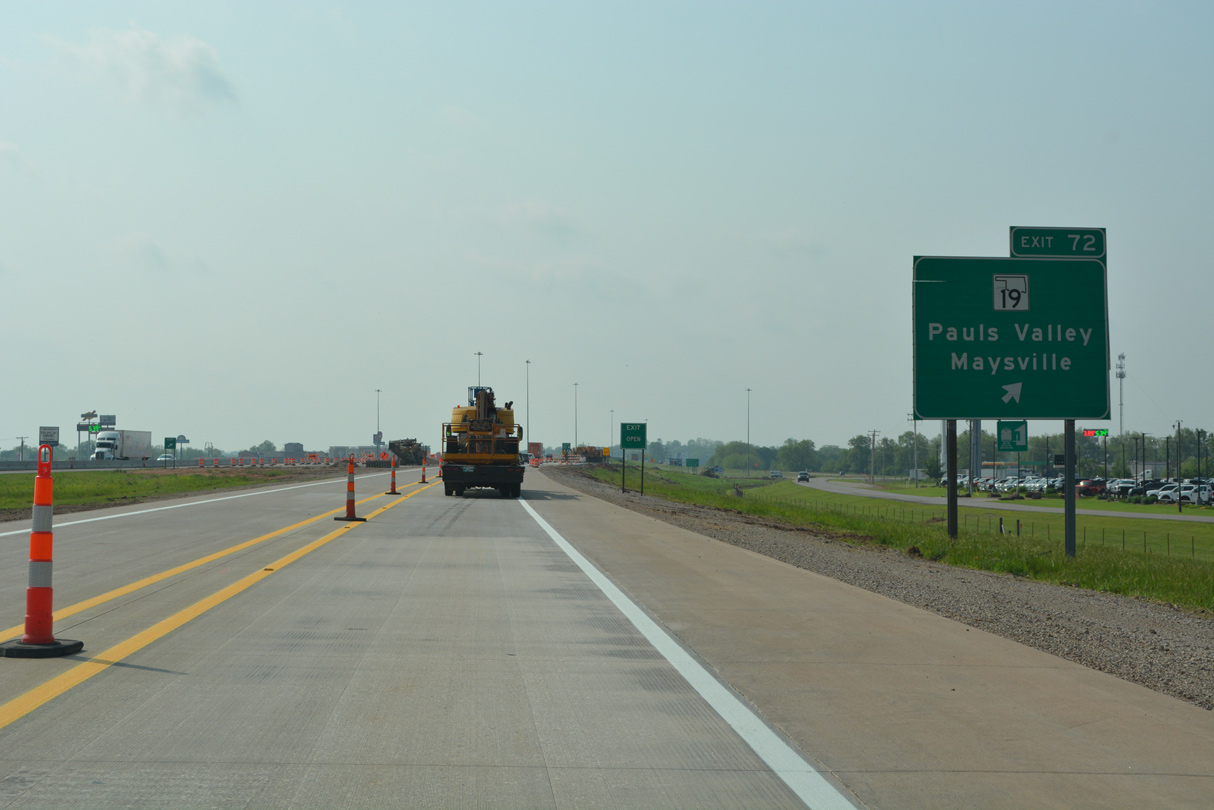
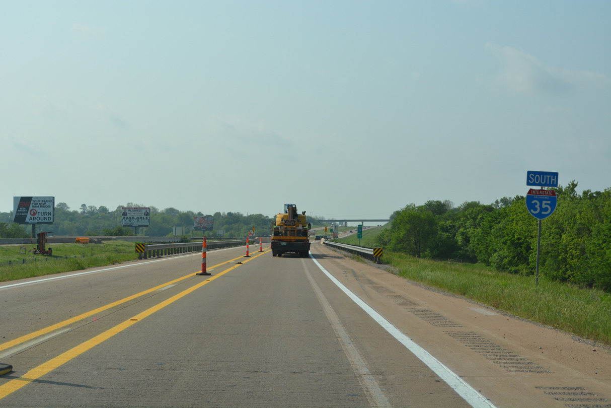
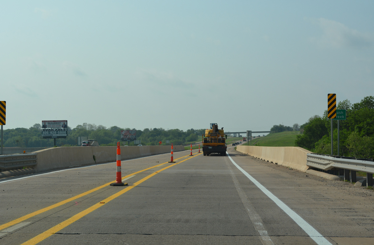
Underway through Summer 2022, a $20 million project reconstructed three miles of pavement along Interstate 35 from the Washita River south to SH 19 in Pauls Valley.1
05/10/22
05/10/22
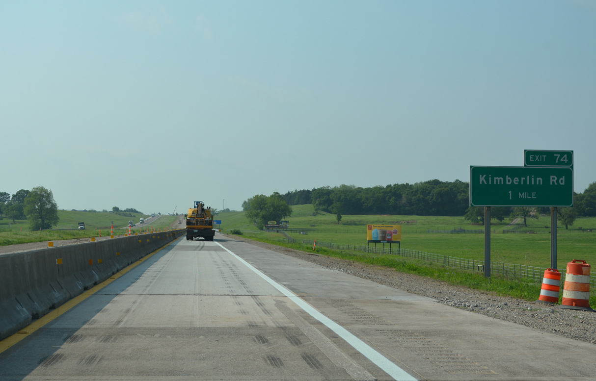
The succeeding exit is for Kimberlin Road at northern reaches of Pauls Valley.
05/10/22
05/10/22
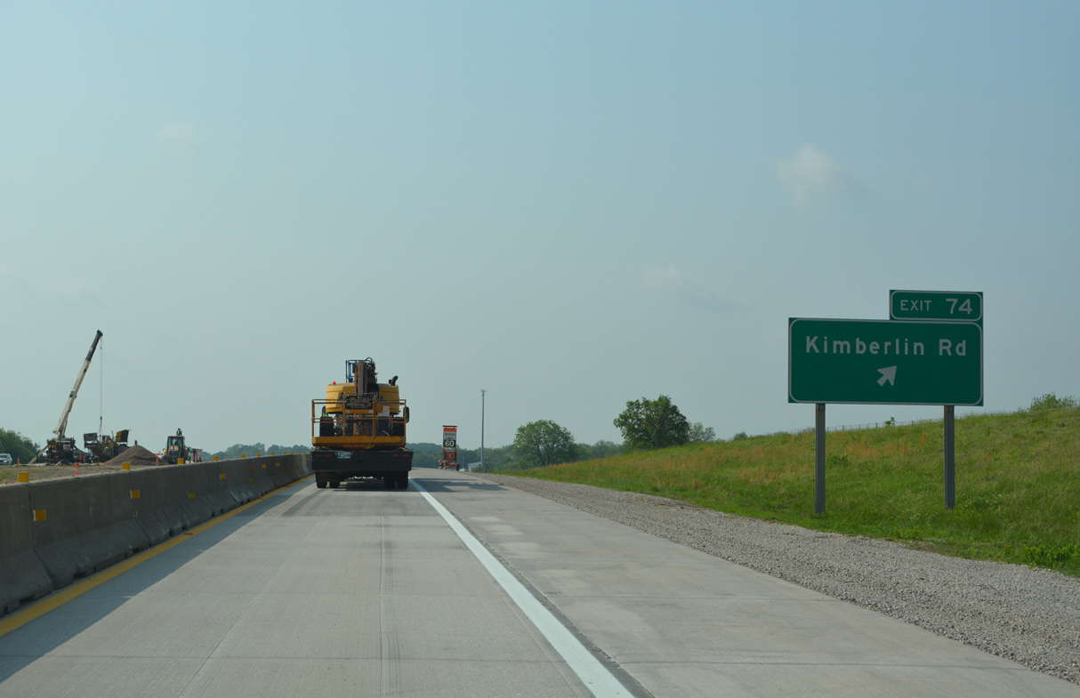
Kimberlin Road leads 0.85 miles west from the diamond interchange at Exit 74 to SH 19 at Whitebead. Kimberlin Road east ties into U.S. 77 in 2.38 miles.
05/10/22
05/10/22
05/10/22
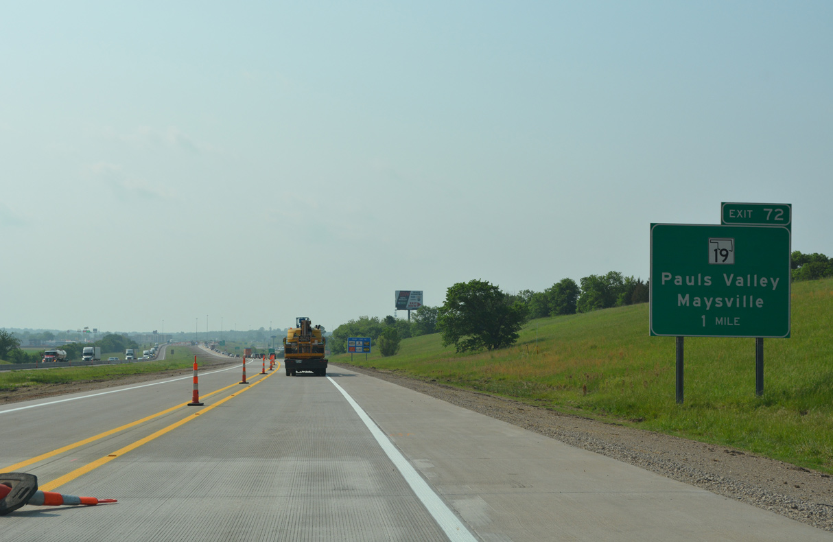
SH 19 travels ten miles southeast from SH 74 in the town of Maysville to a diamond interchange (Exit 72) with Interstate 35 on the west side of Pauls Valley.
05/10/22
05/10/22
05/10/22
05/10/22
05/10/22
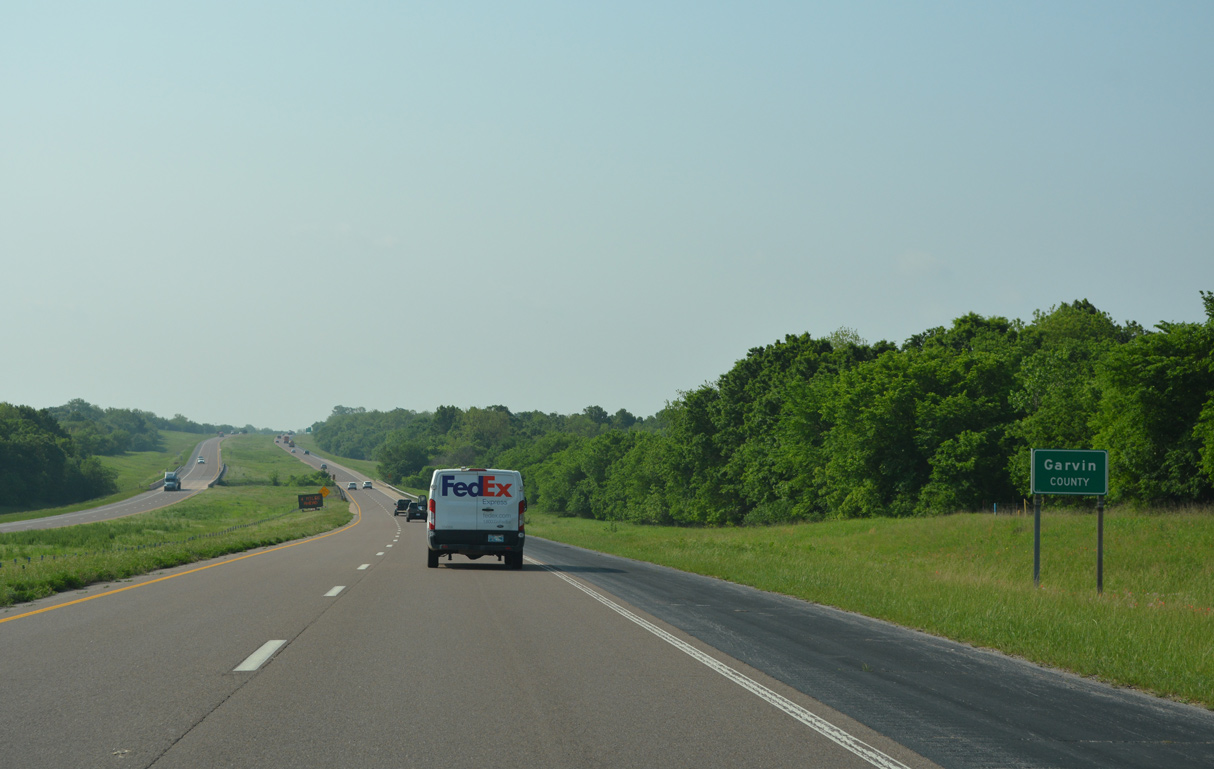
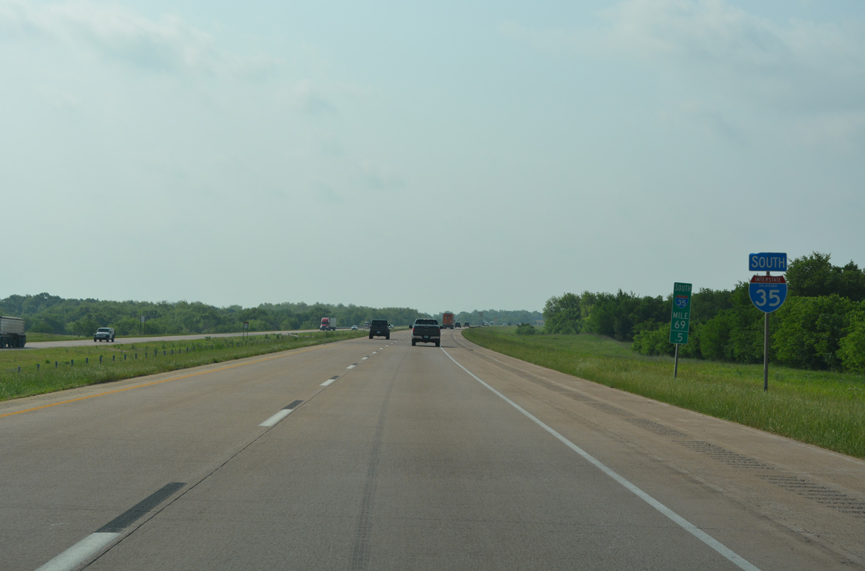
Interstate 35 straddles the Pauls Valley city line south across Rush Creek.
05/10/22
05/10/22
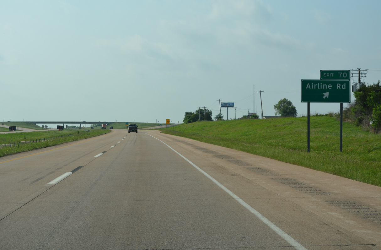
Airline Road branches 0.88 miles west from West Avenue by Pauls Valley Municipal Airport (PVJ) to the diamond interchange at Exit 70.
05/10/22
05/10/22
05/10/22
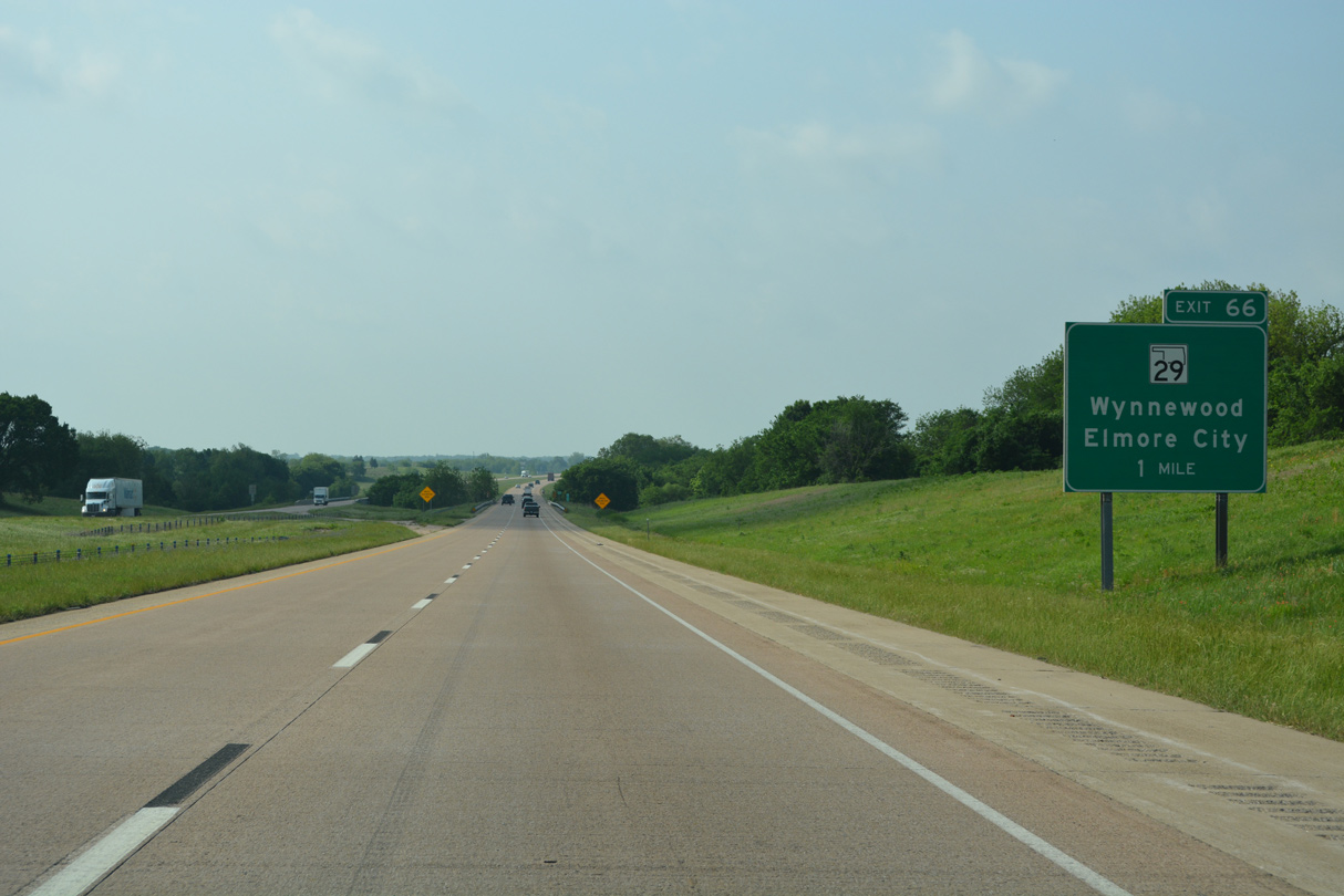
SH 29 overlaps with U.S. 77, 1.97 miles from the city of Wynnewood before turning west 0.36 miles to Interstate 35 at Exit 66.
05/10/22
05/10/22
05/10/22
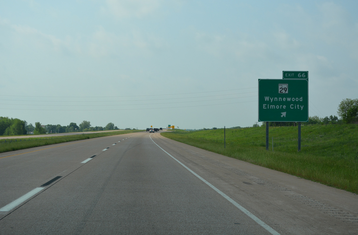
West from Exit 66, SH 29 advances 10.9 miles to SH 74 in Elmore City.
05/10/22
05/10/22
05/10/22
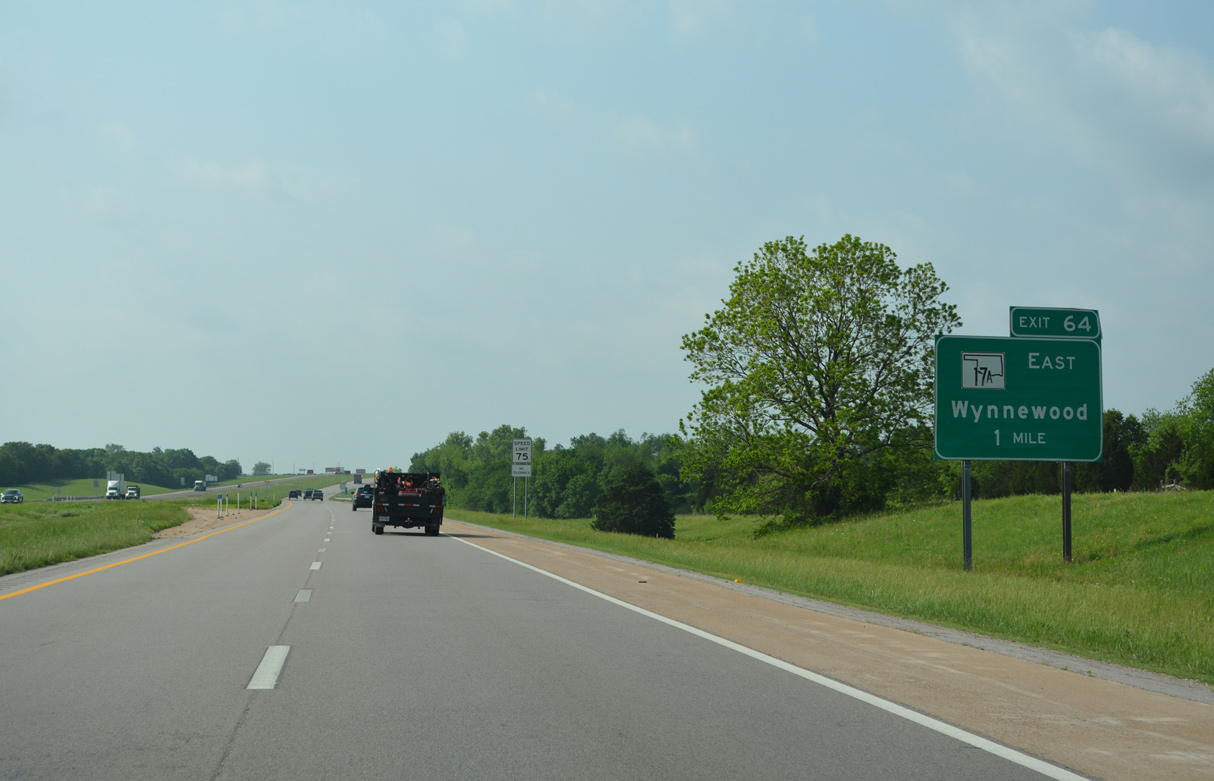
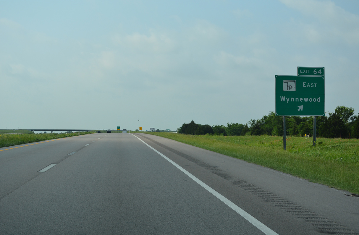
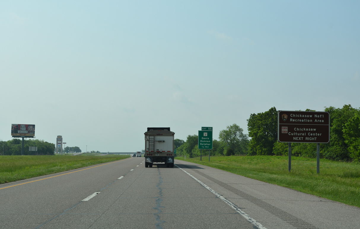
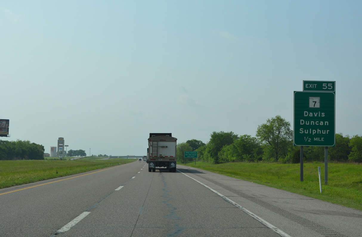
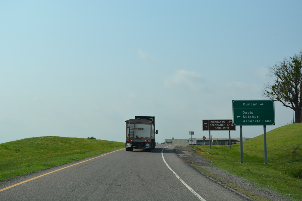
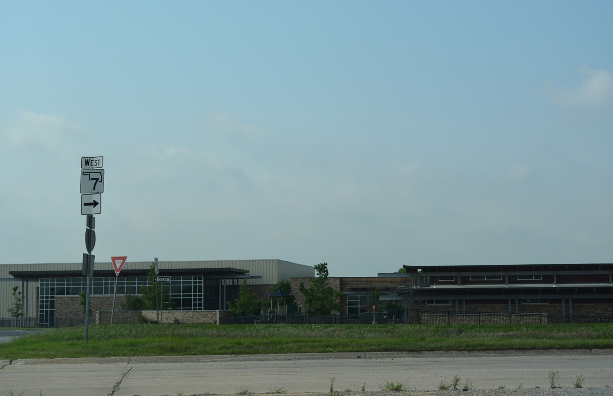
SH 17A constitutes a 3.07 mile long highway linking Interstate 35 with U.S. 77 south of Wynnewood.
05/10/22
05/10/22
05/10/22
05/10/22
05/10/22
05/10/22
05/10/22
05/10/22
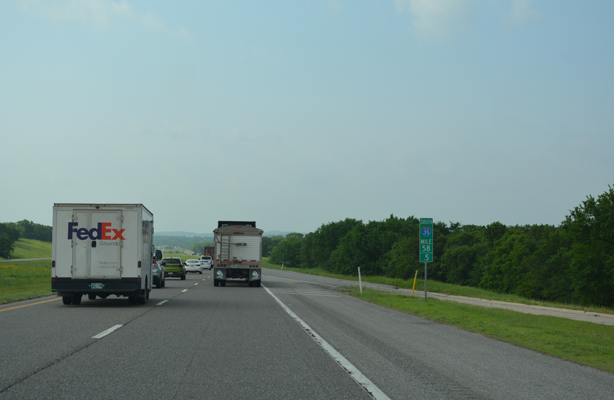
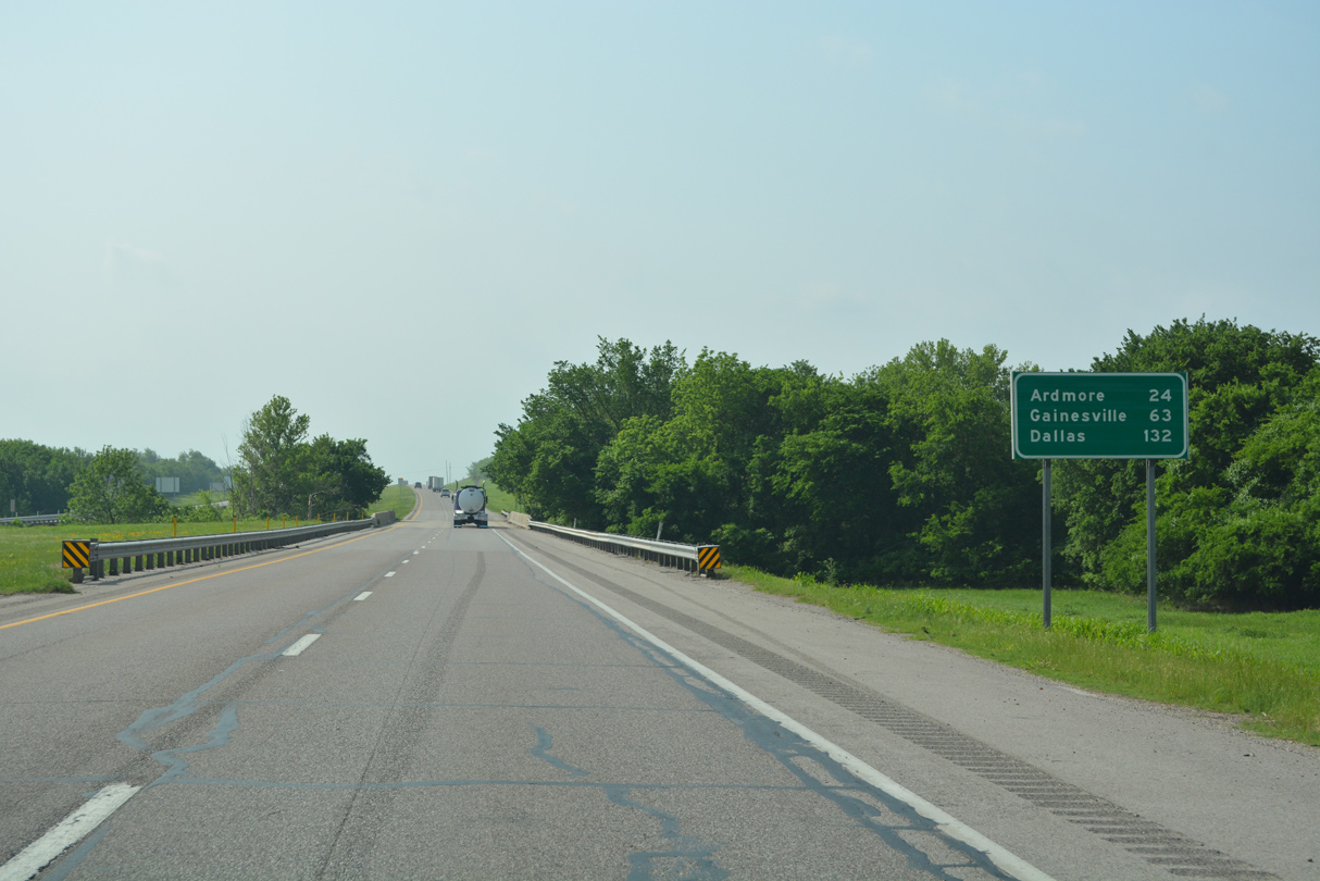
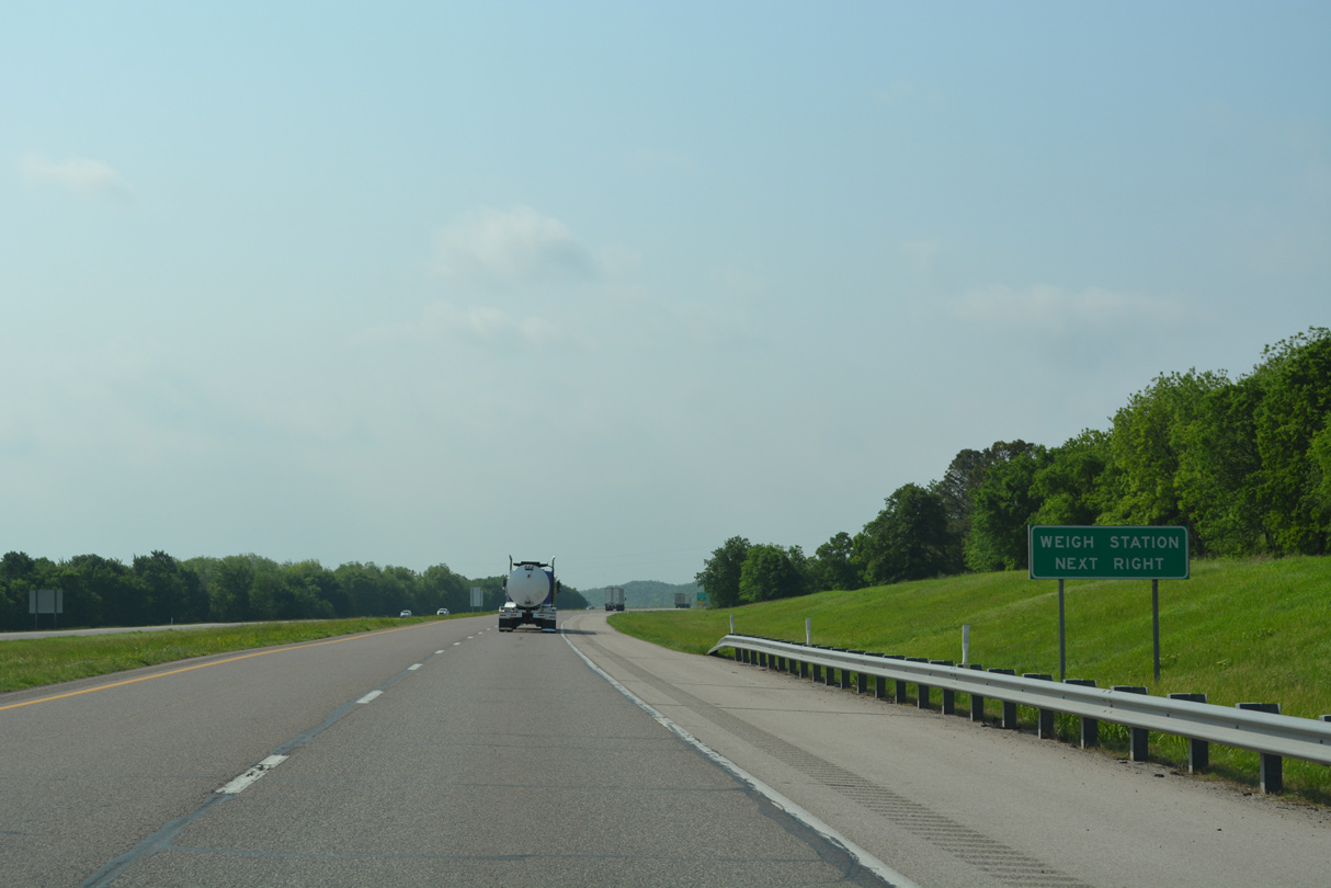
Rest areas along both sides of Interstate 35 between mile marker 58 and 59 permanently closed in 2021.
05/10/22
05/10/22
05/10/22
05/10/22
05/10/22
05/10/22
05/10/22
05/10/22

05/10/22
05/10/22
05/10/22
05/10/22
05/10/22
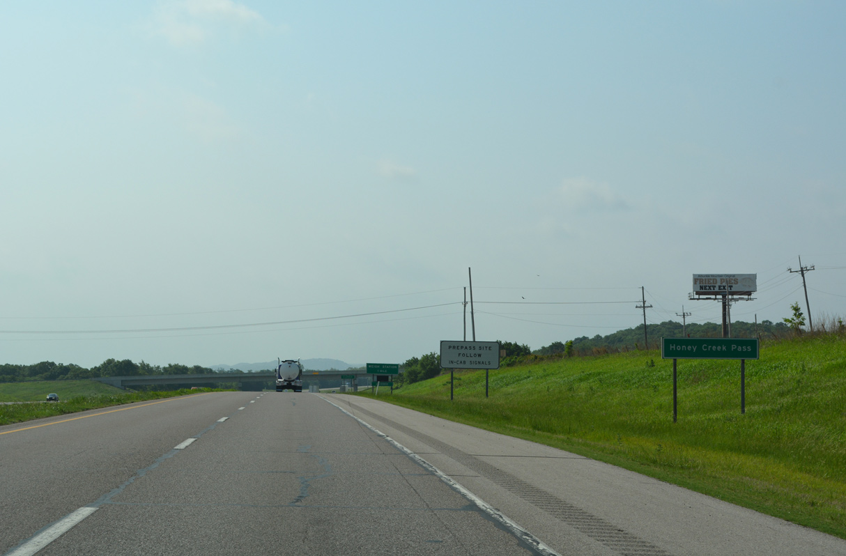
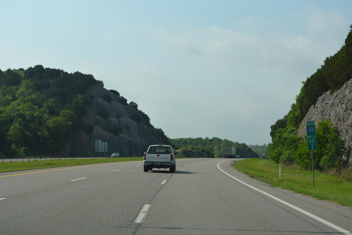
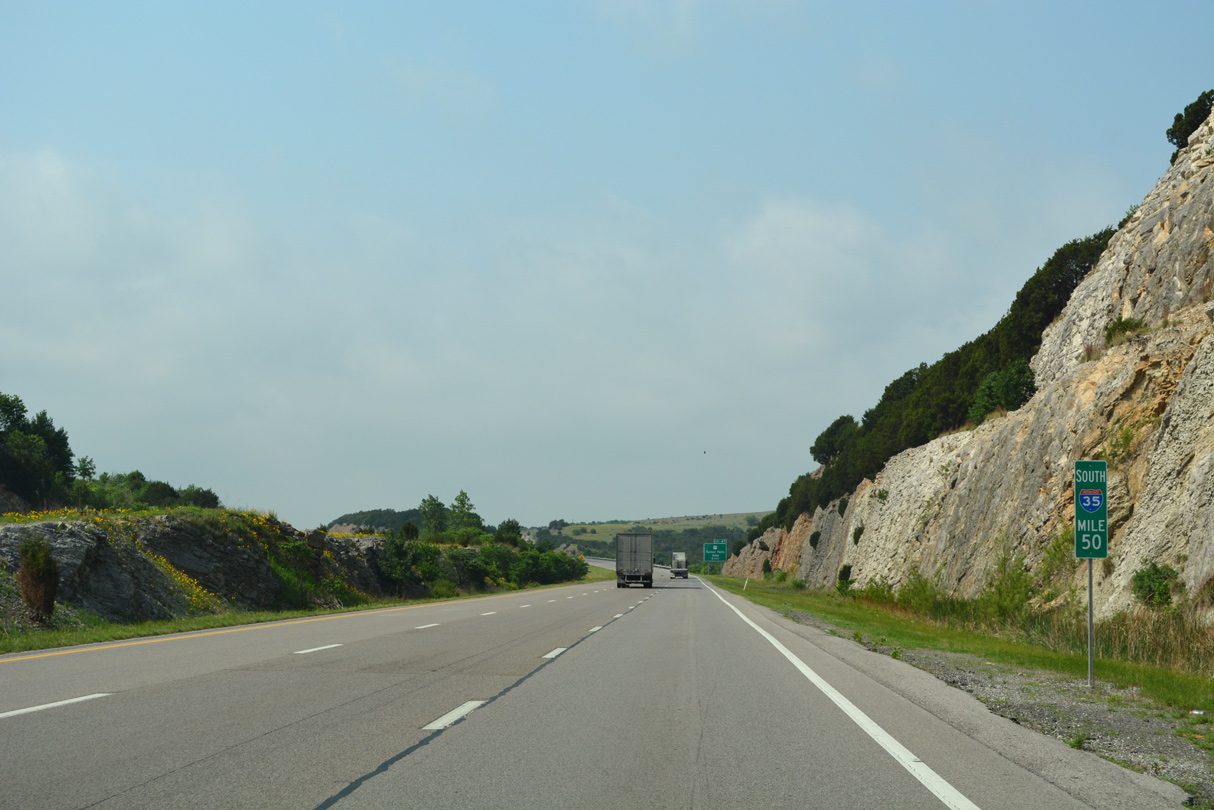
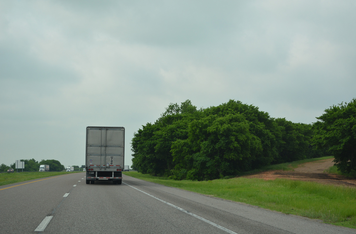
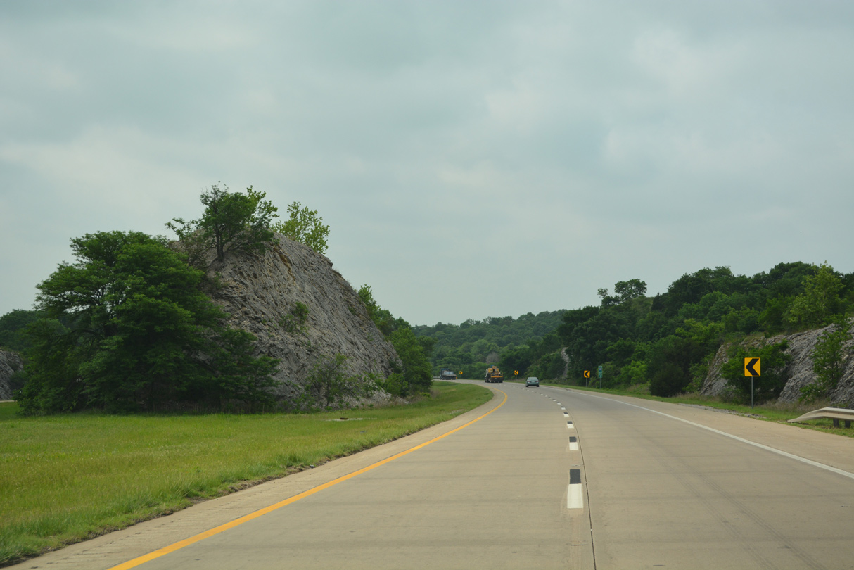
South from Honey Creek Pass, Interstate 35 travels along the east side of the Arbuckle Mountains.
05/10/22
05/10/22
05/10/22
05/10/22

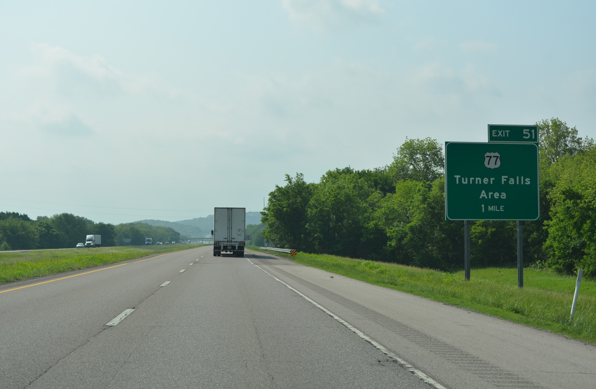
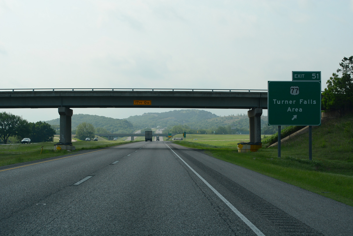
U.S. 77 converges with Interstate 35 south between Hollyville and Cedar Village at forthcoming Exit 51.
05/10/22
05/10/22
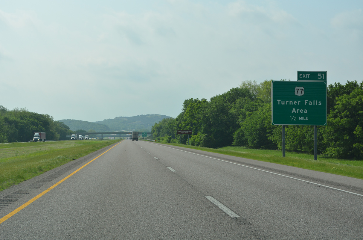
Interstate 35 ascends into the Arbuckle Mountains after the parclo interchange (Exit 51) with U.S. 77.
05/10/22
05/10/22
U.S. 77 shifts west of Interstate 35 along a winding course through Turner Falls State Park in the Davis city limits.
05/10/22
05/10/22
05/10/22
05/10/22

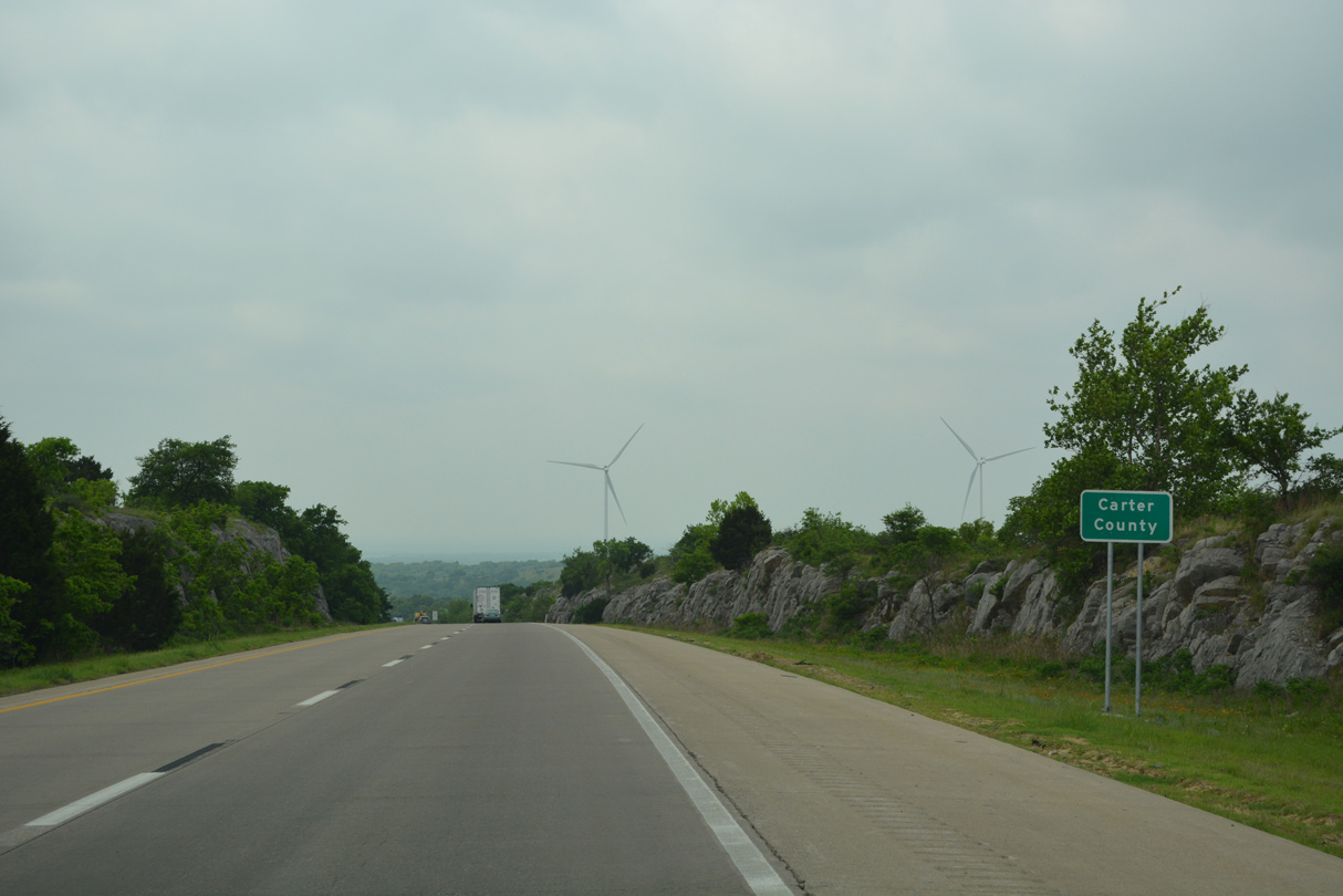
Interstate 35 crosses Honey Creek around 800 feet above sea level. The ensuing stretch into the Arbuckle Mountains rises to an elevation exceeding 1,200 feet.
05/10/22
05/10/22
05/10/22
05/10/22

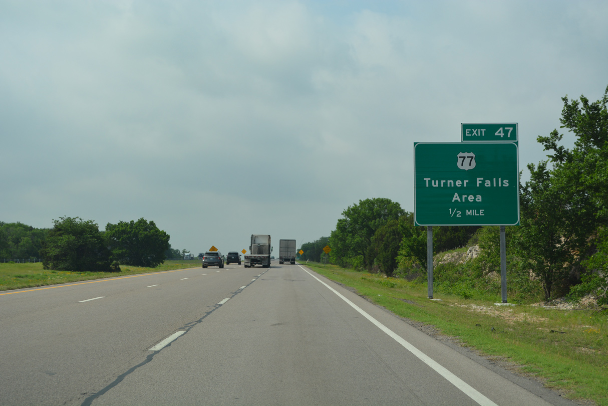
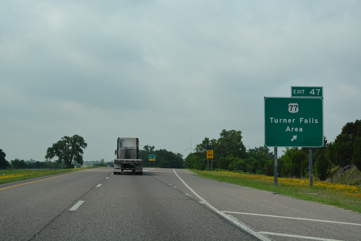
U.S. 77 meets Interstate 35 again south from Turner Falls.
05/10/22
05/10/22
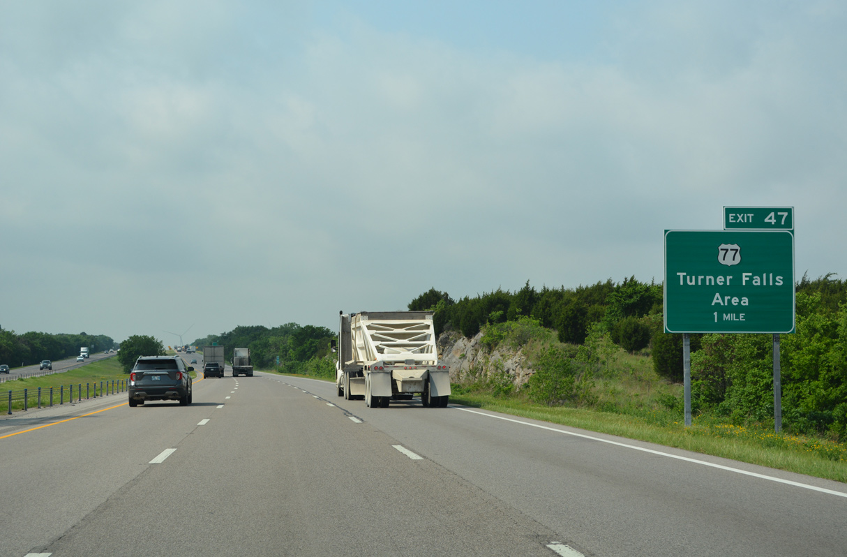
Shifting back to the east of Interstate 35 at Exit 47, U.S. 77 continues through the Arbuckle Mountains to Springer.
05/10/22
05/10/22
05/10/22
05/10/22

05/10/22
The scenic turnout preceding milepost 46 permanently closed in 2019 and was subsequently demolished.
05/10/22
05/10/22
05/10/22
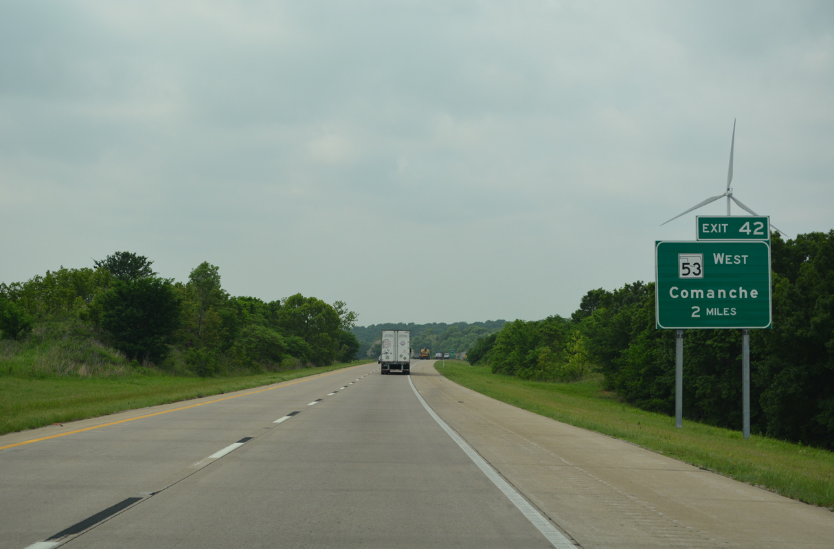
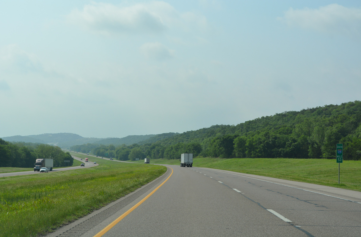
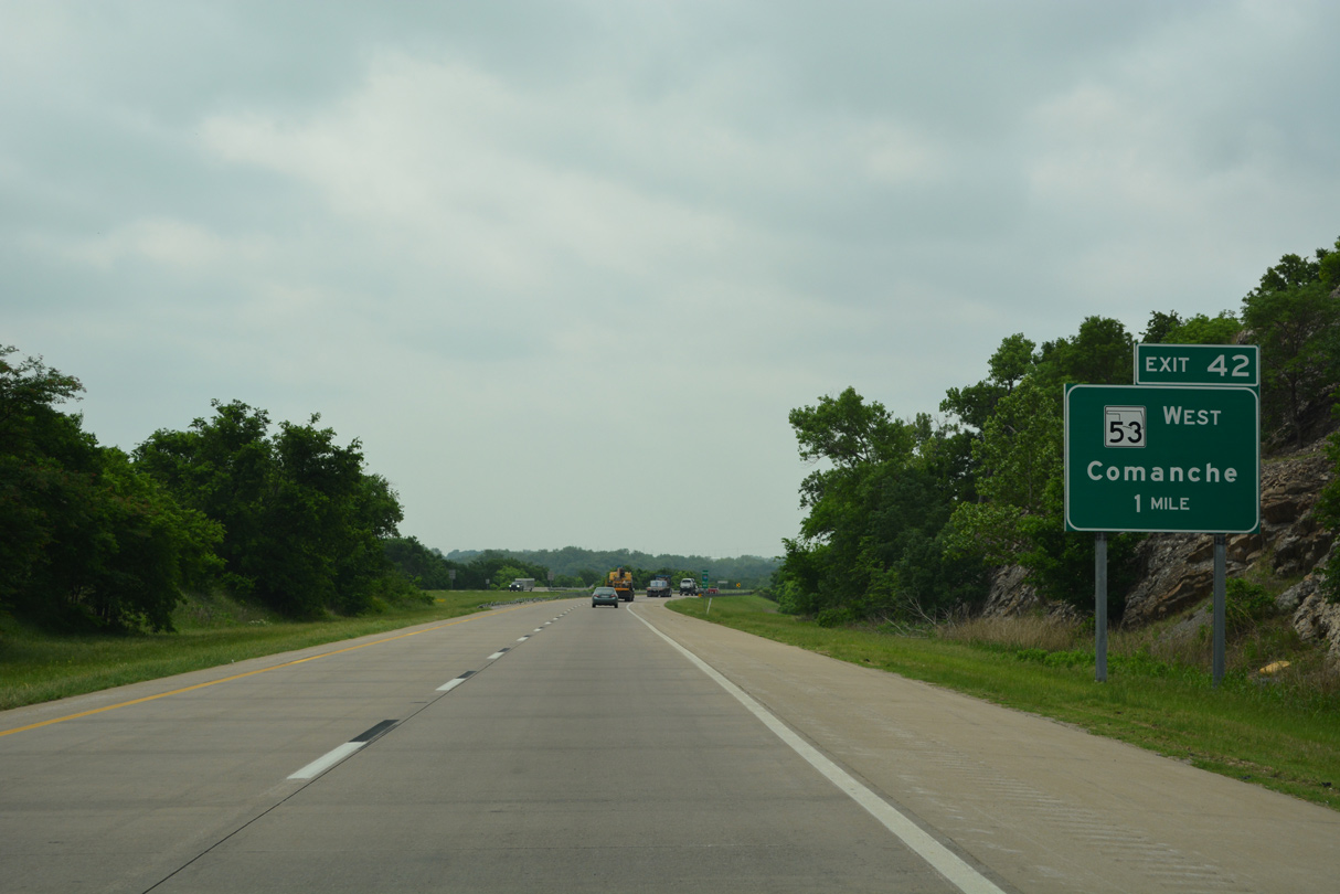
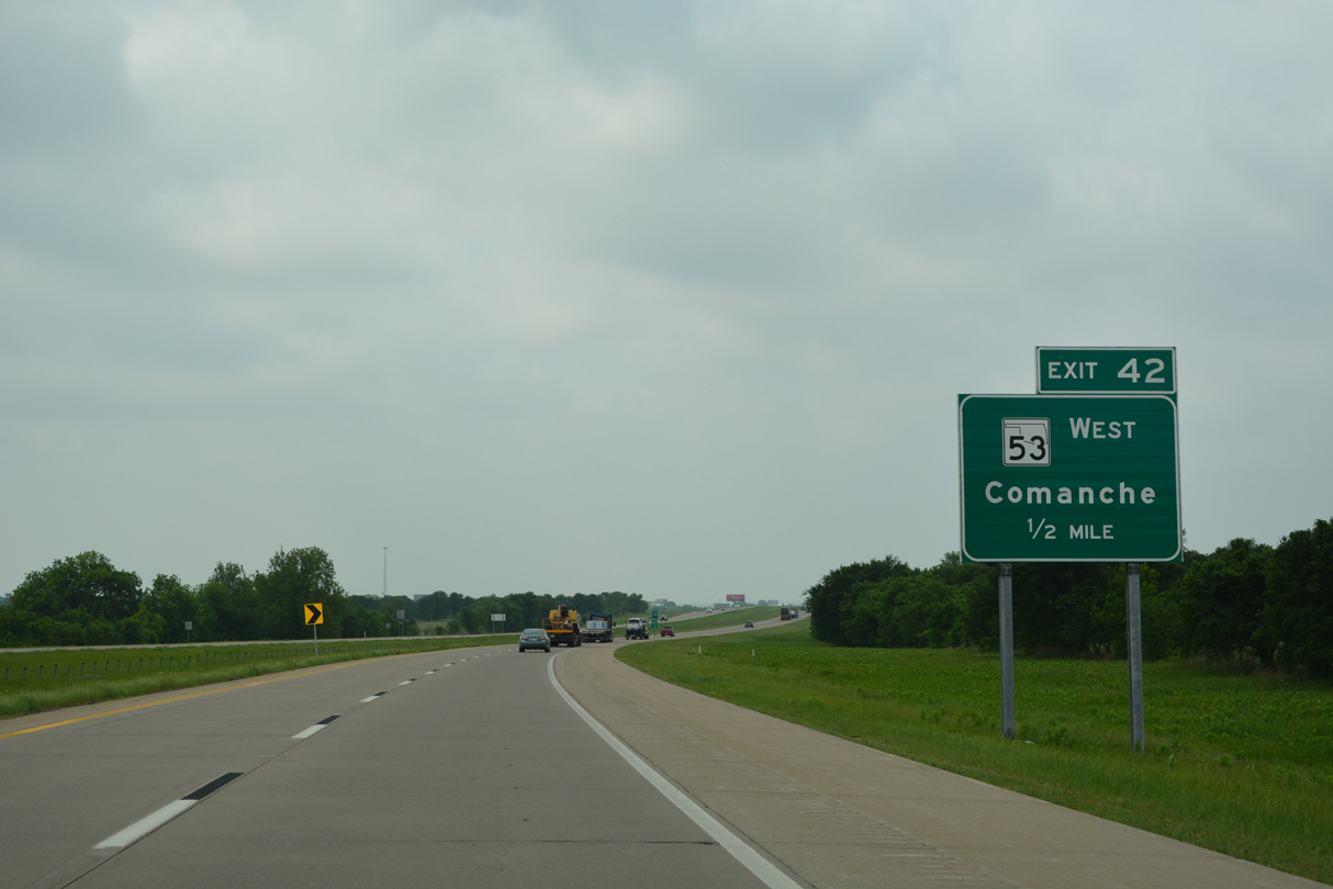
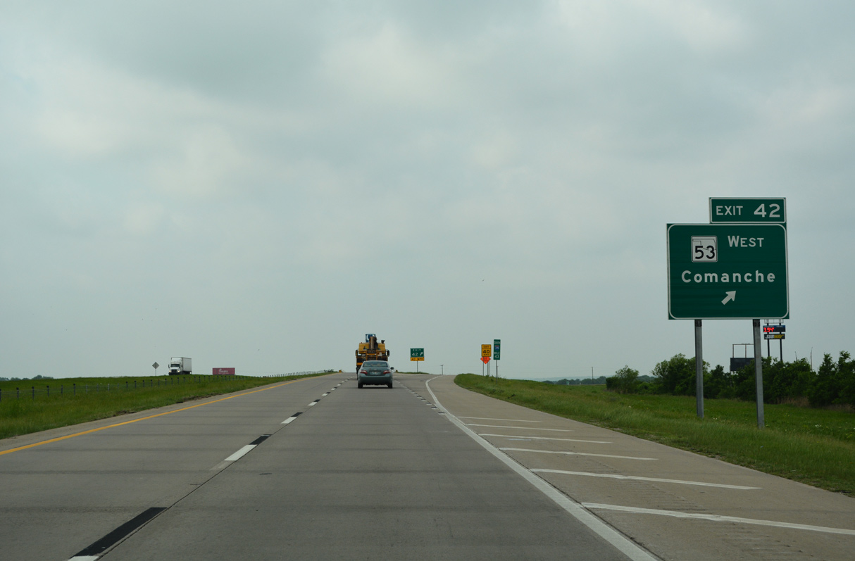
SH 53 travels 52.6 miles east from U.S. 81 in Comanche to a diamond interchange (Exit 42) with Interstate 35 on the north side of Springer.
05/10/22
05/10/22
05/10/22
SH 53 formerly continued a half mile east to U.S. 77 at Mount Vica Road. This leg of the highway was relinquished with SH 53 realigned onto IH 35 south to Exit 40.
05/10/22
05/10/22
05/10/22
05/10/22


References:
- I-35 Corridor Projects. Oklahoma Department of Transportation (ODOT), web page. Accessed July 11, 2022.
Photo Credits:
- ABRoads: 05/10/22
Page Updated Monday July 11, 2022.