
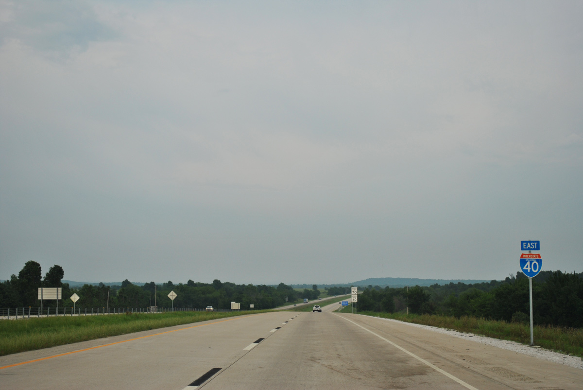
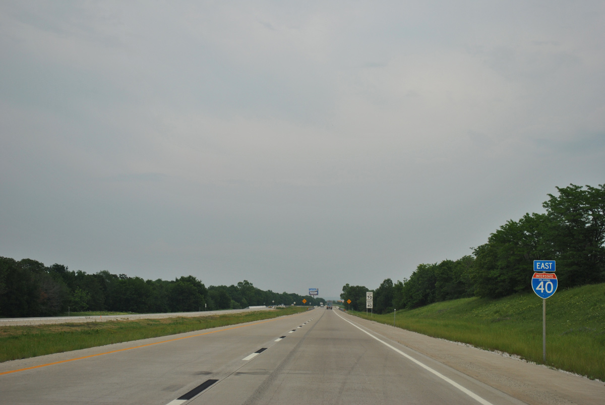
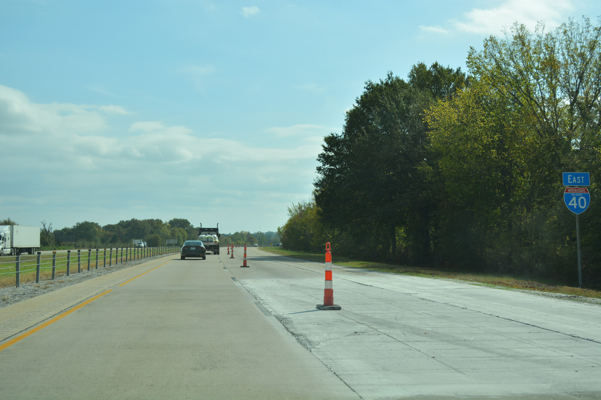
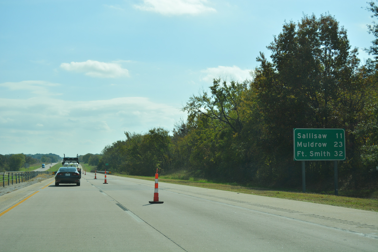
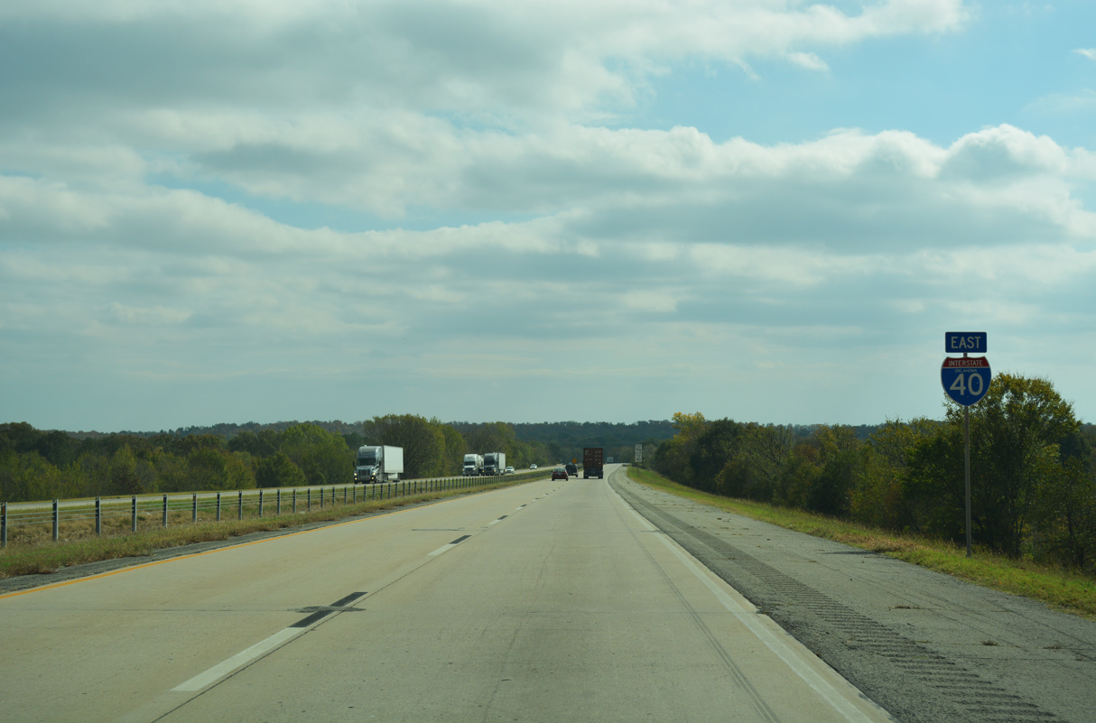
Interstate 40 East - Warner to Arkansas
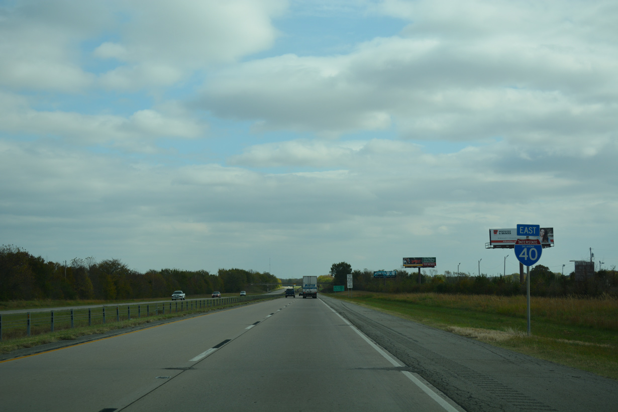
 East
East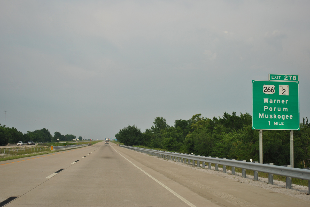
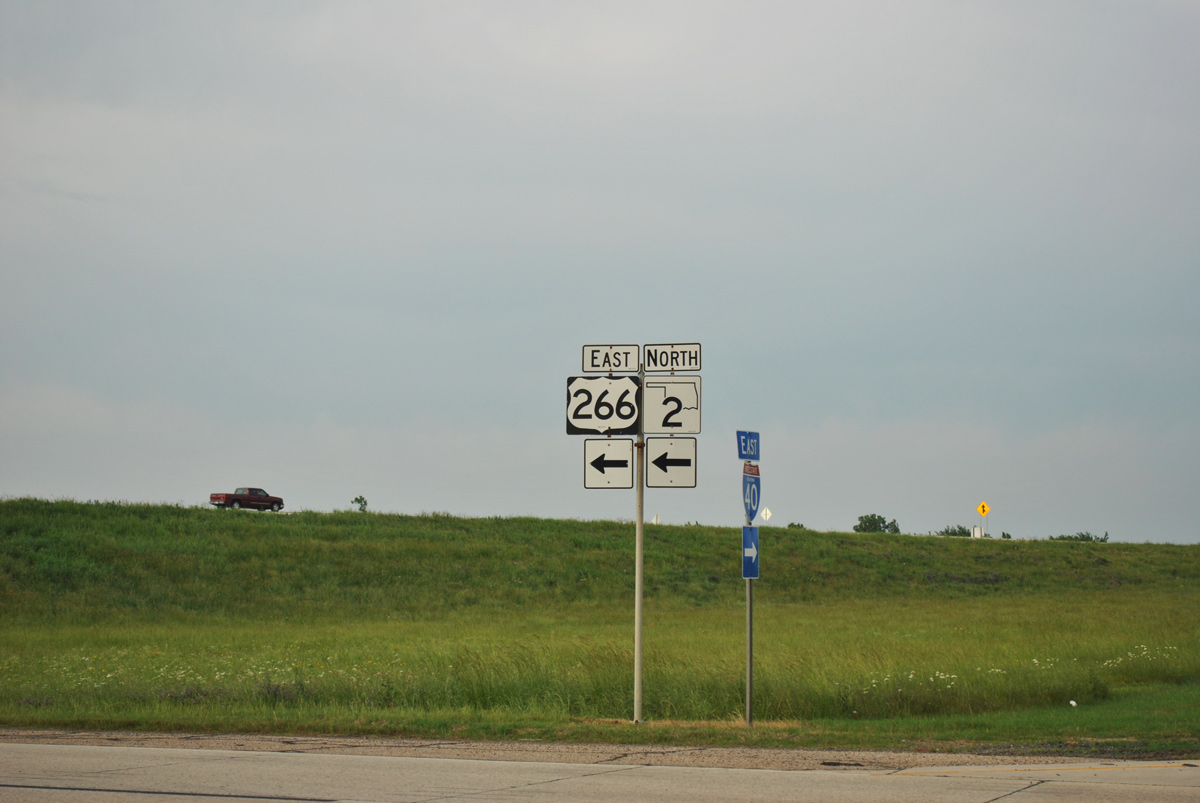
Meeting Interstate 40 at Exit 278, U.S. 266 turns north with SH 2 into the town of Warner
05/06/12
05/06/12
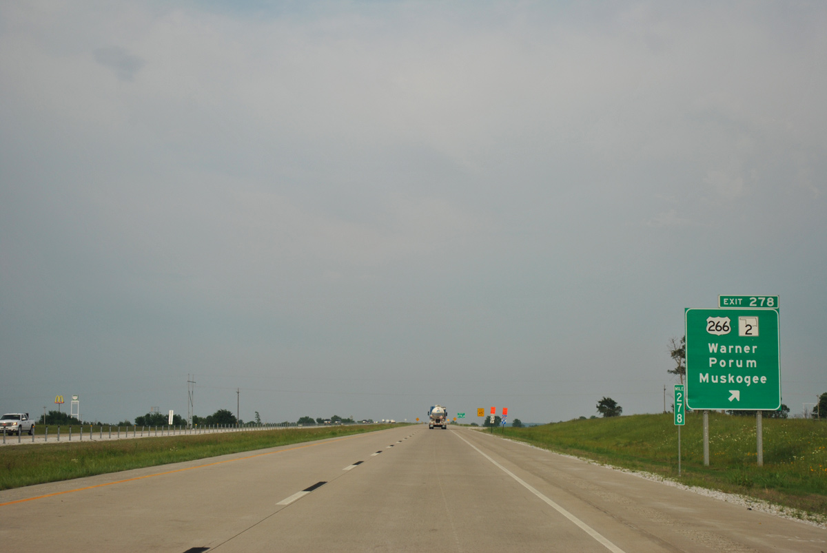
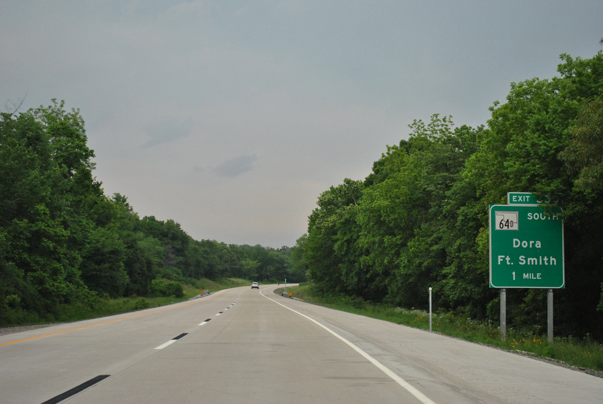
SH 2 travels south from Warner to Porum and Whitefield. U.S. 64 extends north from U.S. 266/SH 2 in Warner to Muskogee.
05/06/12
05/06/12

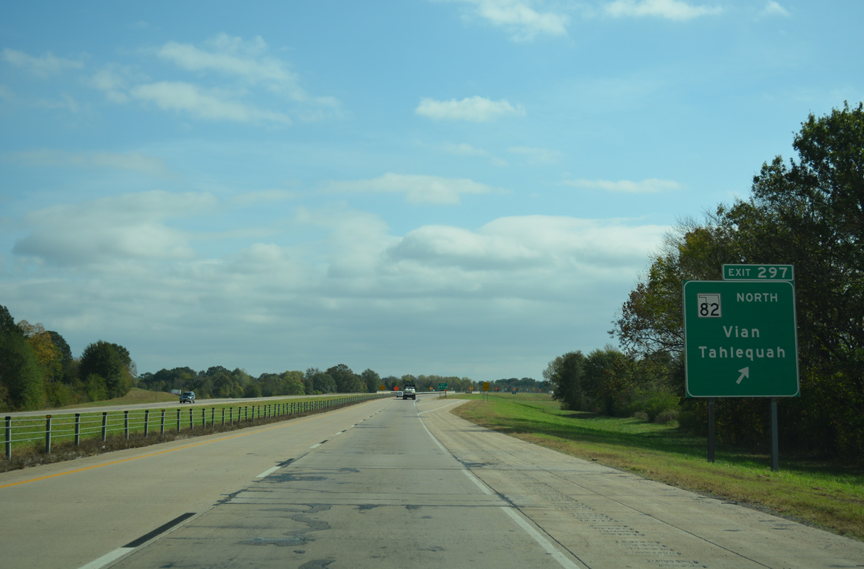
A diamond interchange joins Interstate 40 at Exit 278 with U.S. 266/SH 2 in south Warner.
05/06/12
05/06/12
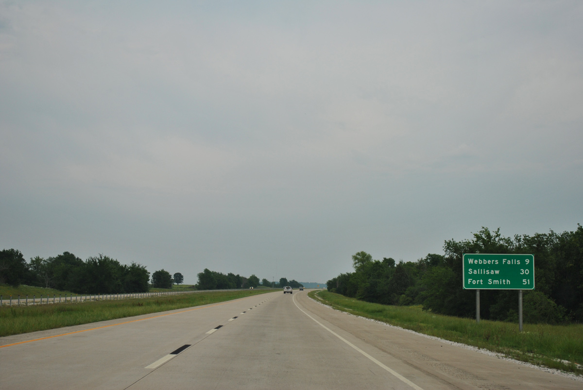
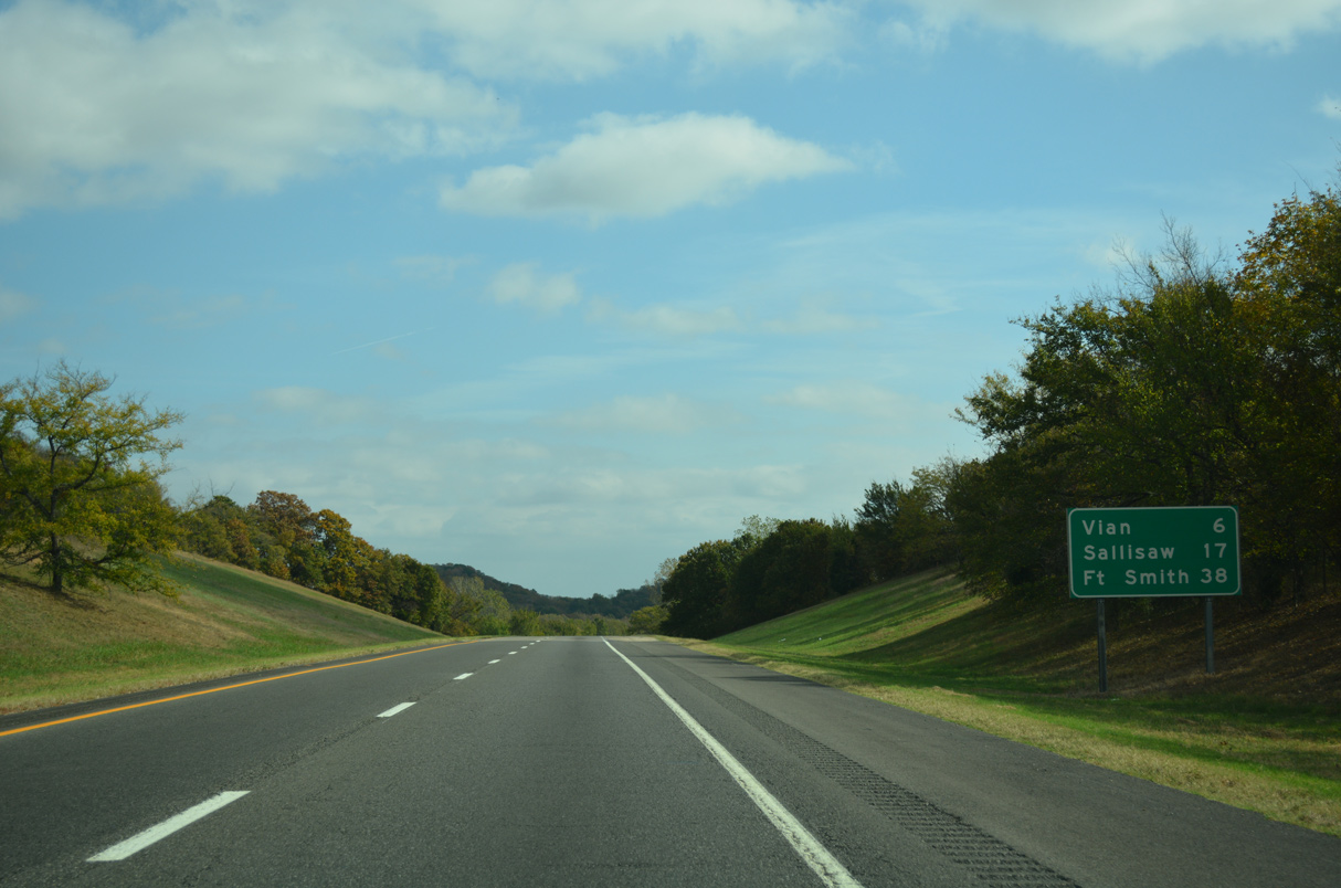
An intrastate route, U.S. 266 measures just 43 miles in length from U.S. 62/75 at Dewar to U.S. 64 (13th Street) in Warner.
05/06/12
05/06/12
Rabbit Hill appears along the eastern horizon beyond this confirming marker posted after U.S. 266/SH 2.
05/06/12
05/06/12
05/06/12
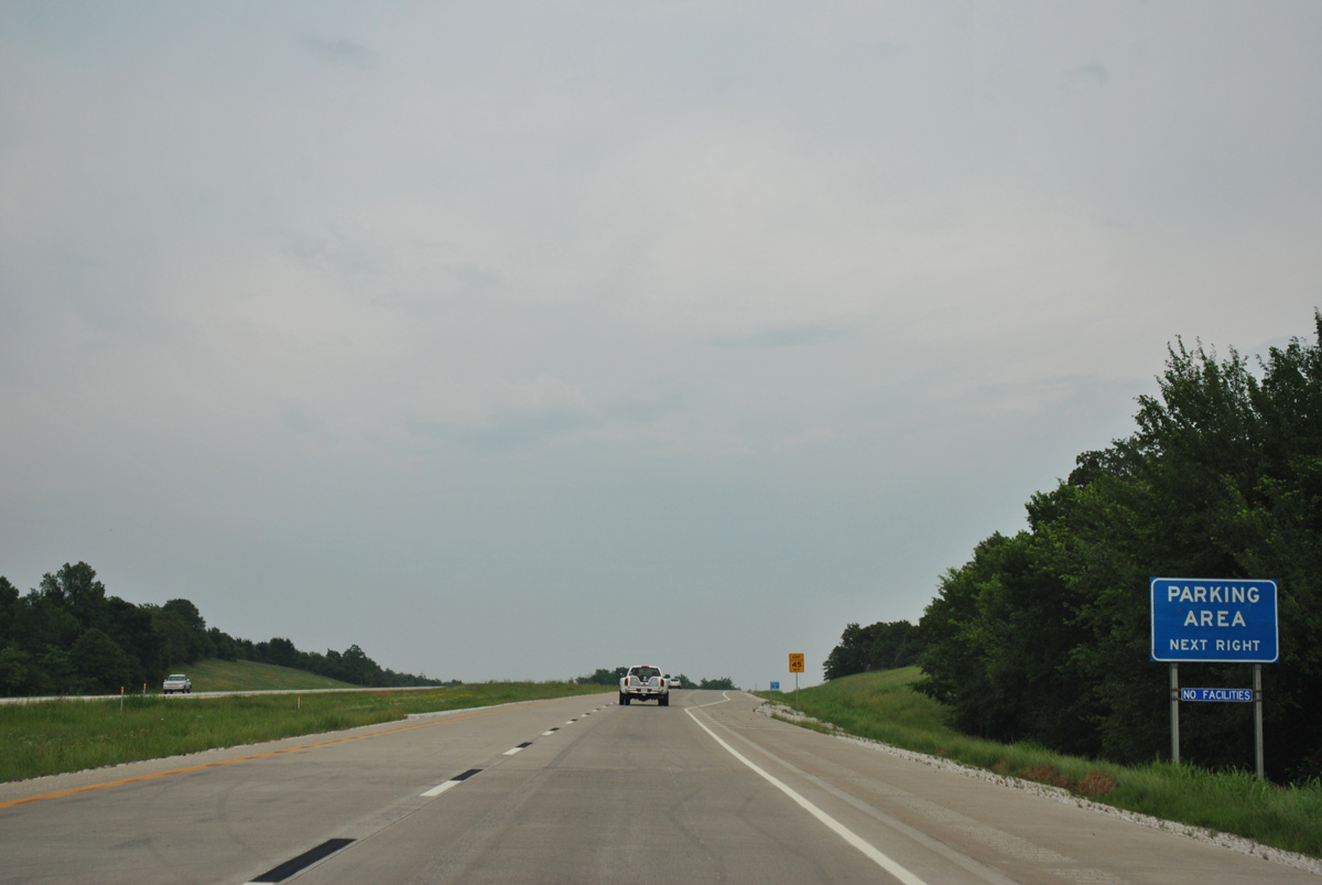
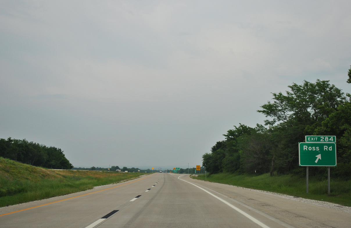
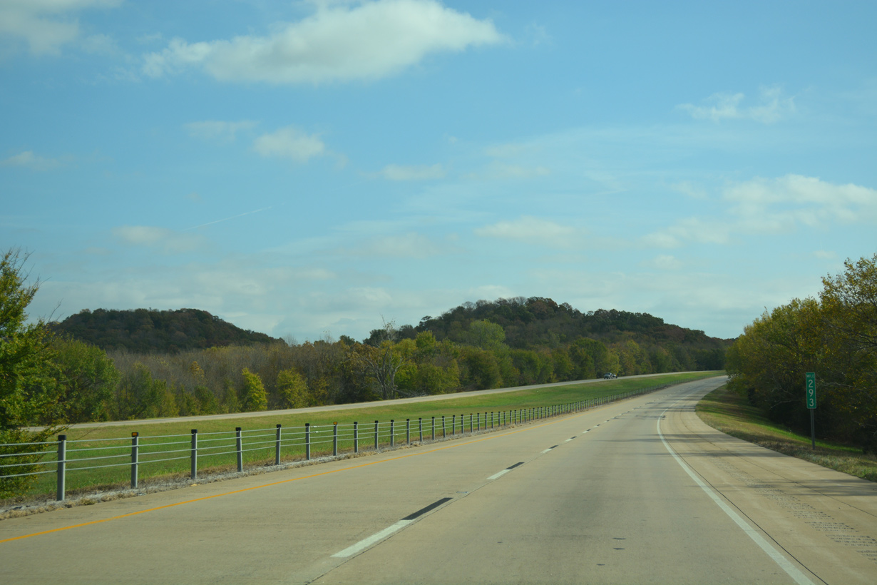
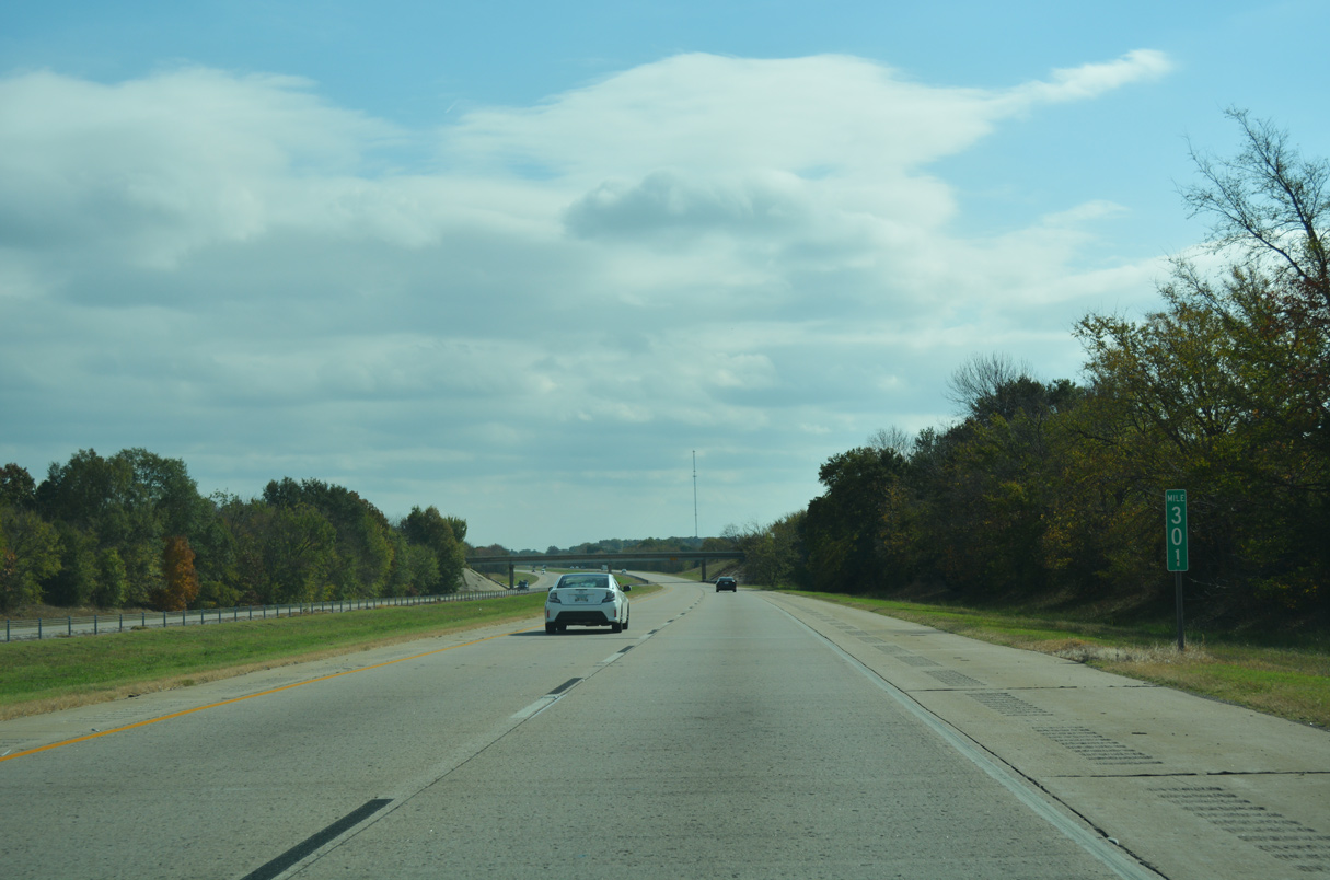
Parking areas line both roadways along Interstate 40 at mile marker 283.
05/06/12
05/06/12
05/06/12
05/06/12
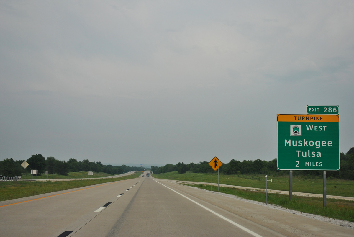
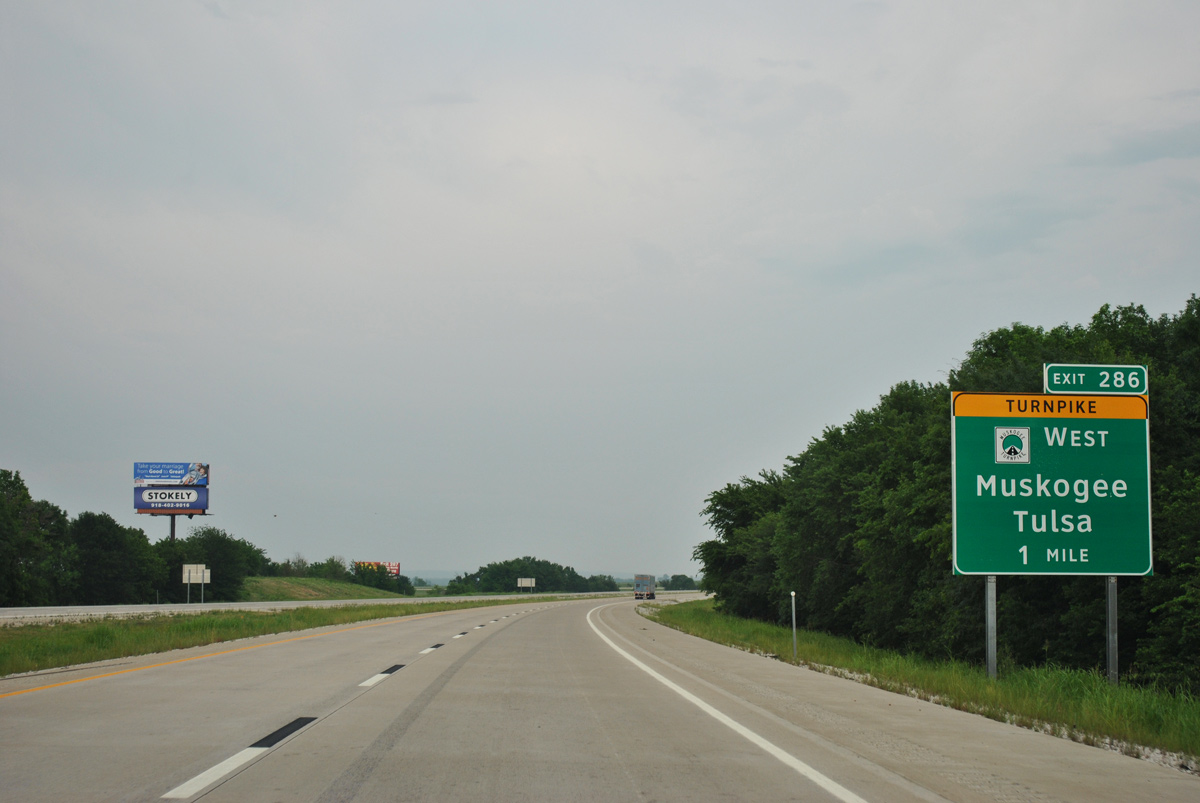
Interstate 40 next meets the south end of the Muskogee Turnpike (SH 351) at Exit 286.
05/06/12
05/06/12
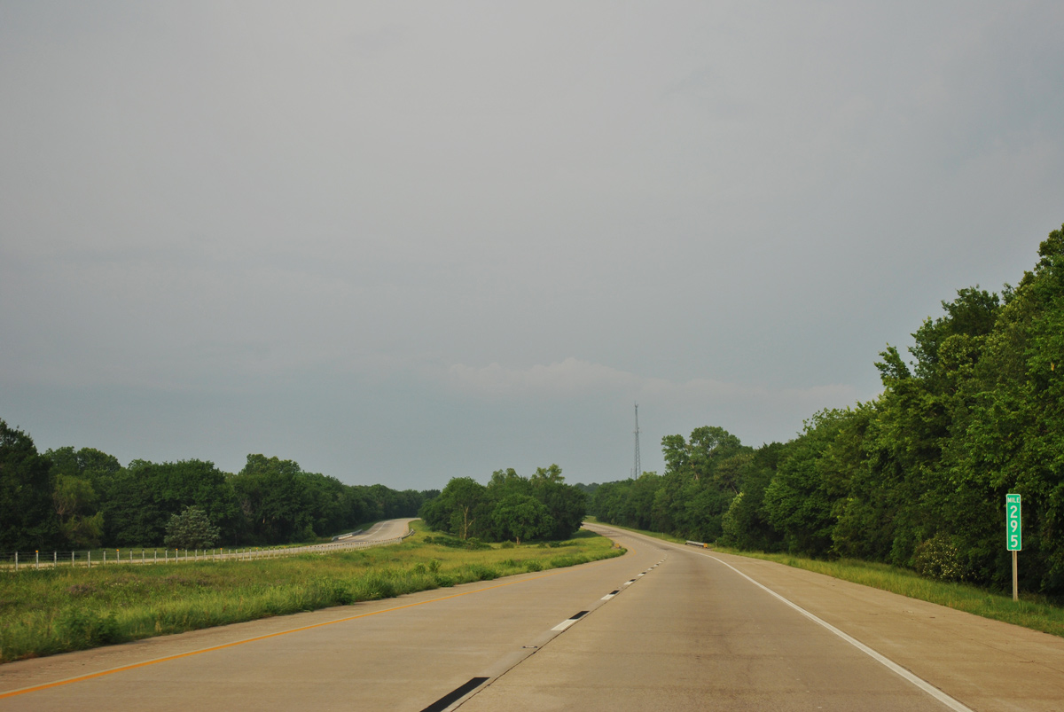
Interstate 40 crosses Dirty Creek beyond this reassurance shield.
05/06/12
05/06/12
The Muskogee Turnpike runs 56 miles northwest to Muskgoee and SH 51 (Broken Arrow Expressway) in Tulsa.
05/06/12
05/06/12
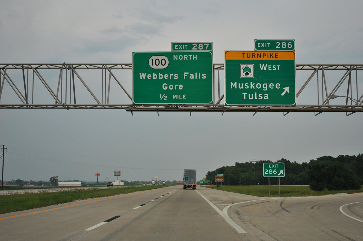
A trumpet interchange joins Interstate 40 with the tolled Muskogee Turnpike (SH 351) north at Exit 286.
05/06/12
05/06/12
11/02/16
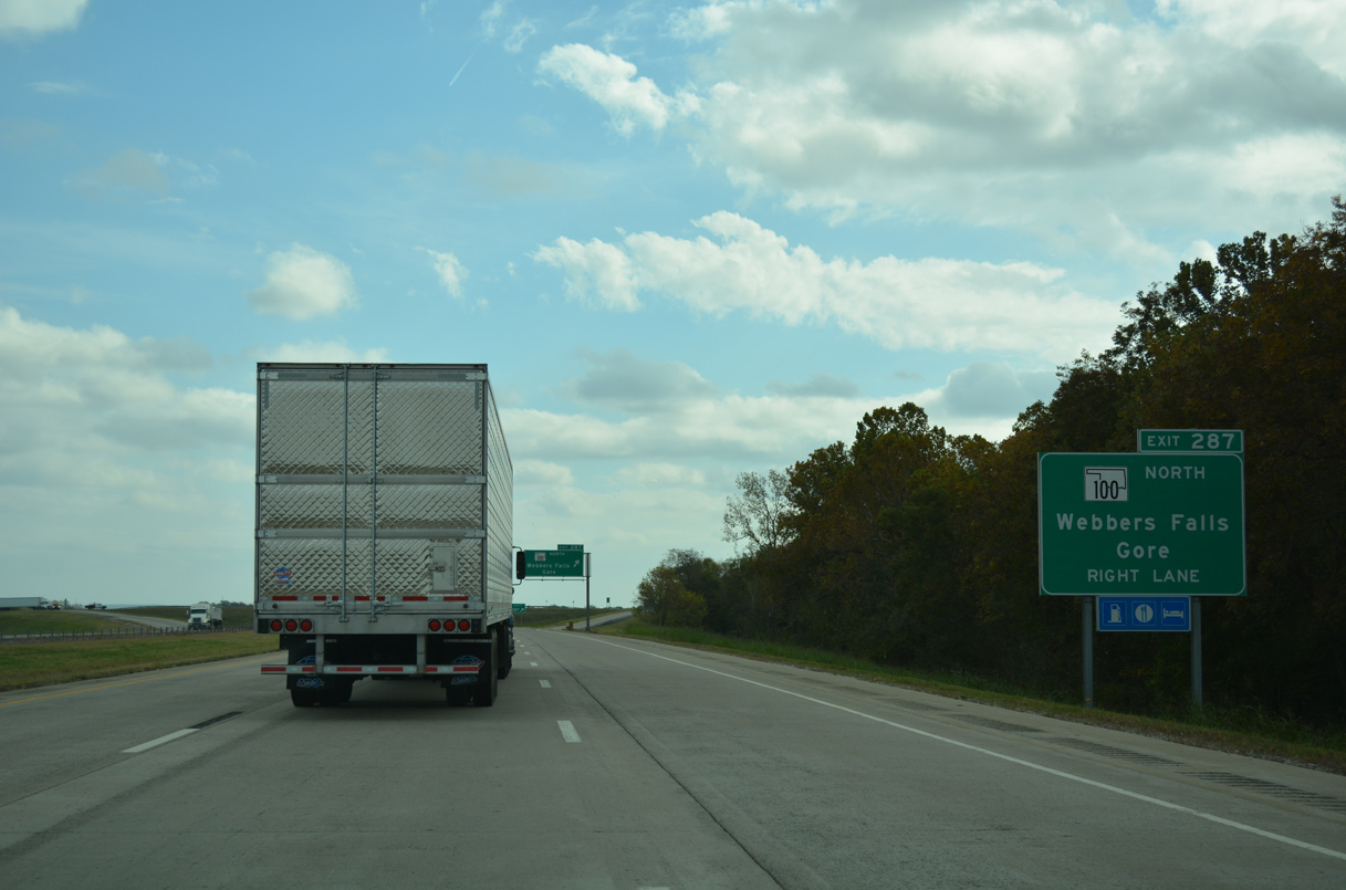
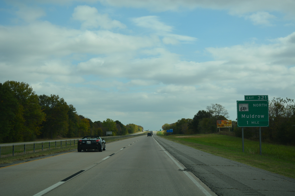
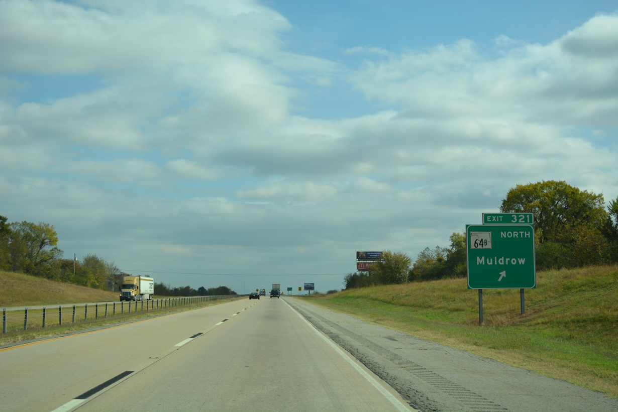
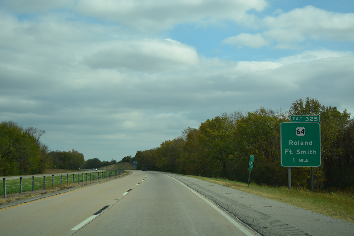
SH 100 branches 1.73 miles south from an overlap with U.S. 64 in Webber Falls to Interstate 40 at Exit 287.
11/02/16
11/02/16

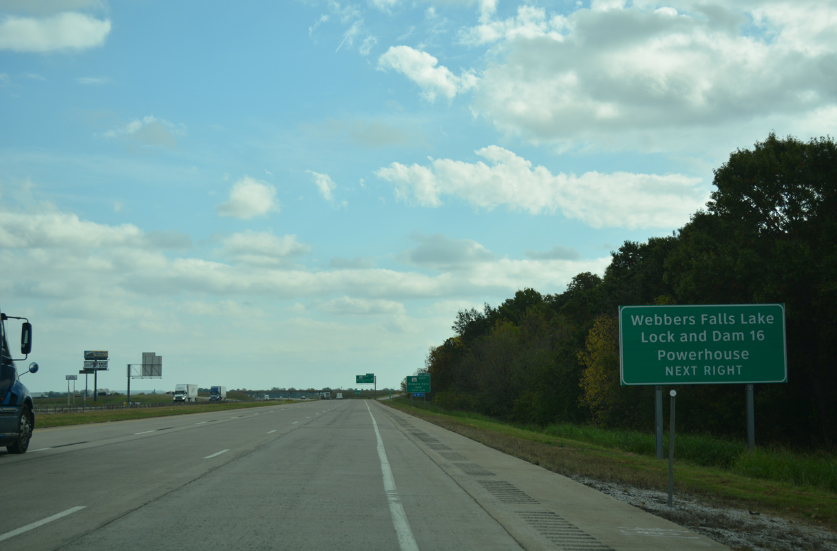
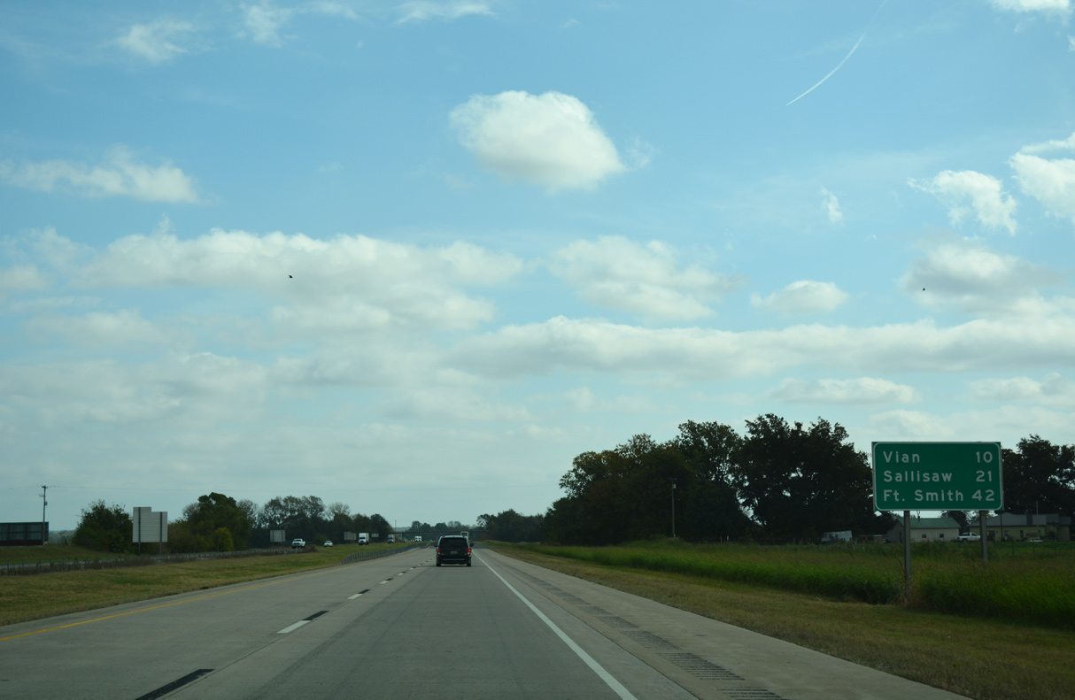
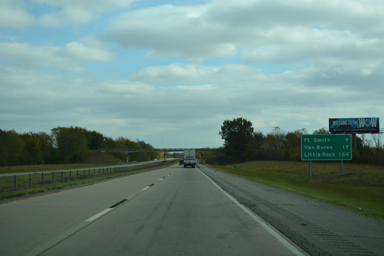
The town of Gore lies northeast across the Arkansas River along U.S. 64/SH 100.
11/02/16
11/02/16
11/02/16
11/02/16
11/02/16
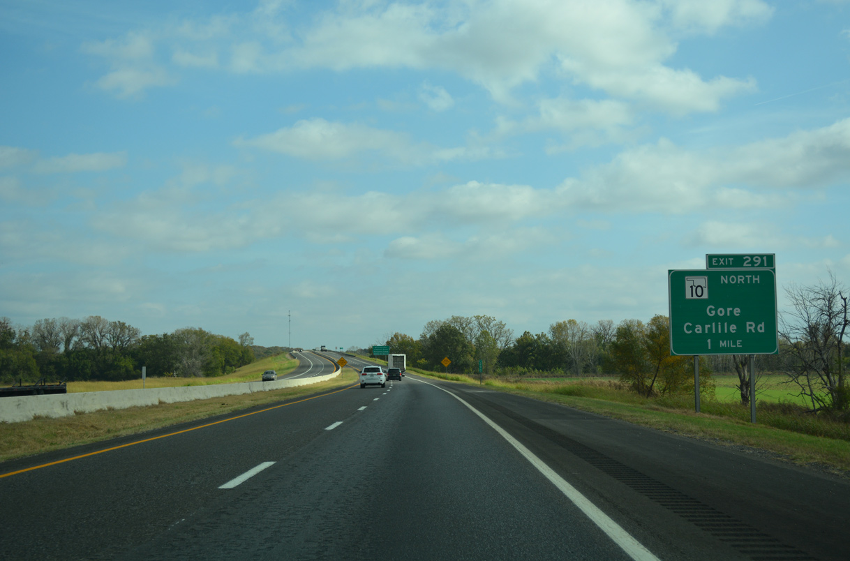
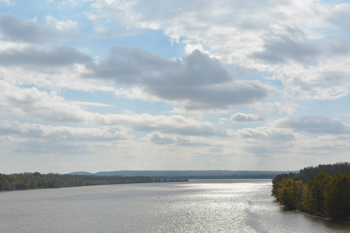
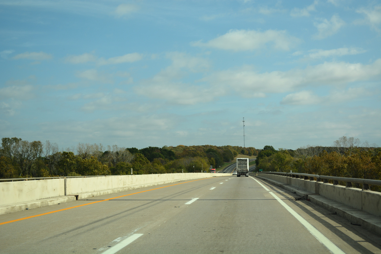
Shifting northward, Interstate 40 crosses the Arkansas River ahead of the diamond interchange (Exit 291) with the south end of SH 10.
11/02/16
11/02/16

The Arkansas River is part of the McClellan Kerr Arkansas River Navigation System and Marine Highway M40.
11/02/16
11/02/16
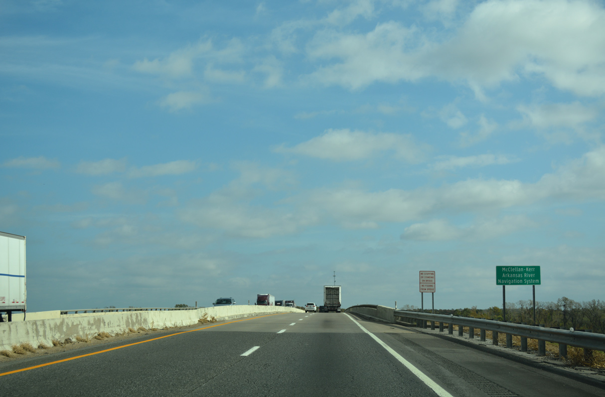
The Interstate 40 bridge across the Arkansas River collapsed when two barges collided with pier supports for the span on May 26, 2002. 14 motorists died as a result.
11/02/16
11/02/16

The Arkansas River Bridge reopened following repairs on July 29, 2002.
11/02/16
11/02/16
Flowing into Robert S. Kerr Reservoir, the Arkansas and Canadian Rivers converge south of Webber Falls.
11/02/16
11/02/16
The Arkansas River bridge along Interstate 40 was completed on February 28, 1967.
11/02/16
11/02/16

The Arkansas River doubles as the Sequoyah County line.
11/02/16
11/02/16

11/02/16
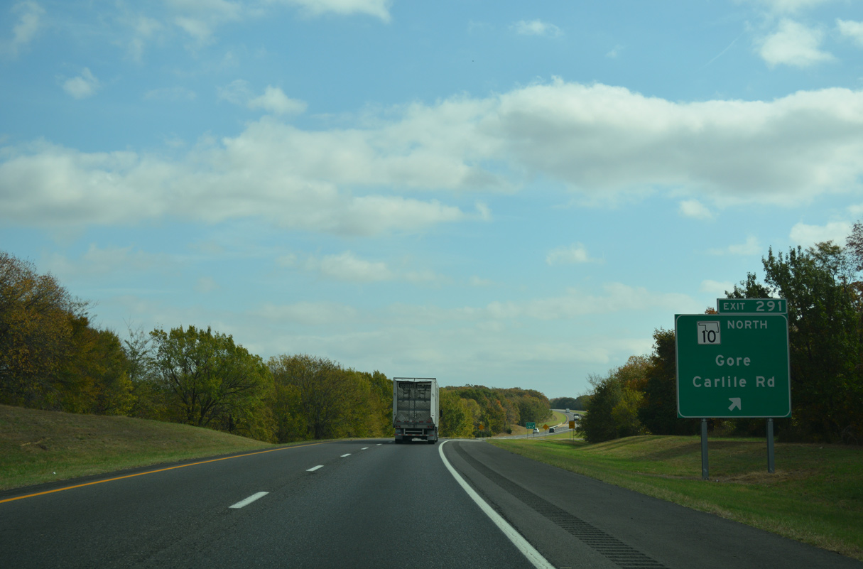
Sh 10 follows Carlisle Road north to U.S. 64. U.S. 64/SH 10 overlap northwest from there into Gore.
11/02/16
11/02/16
11/02/16
11/02/16
11/02/16
11/02/16
05/06/12

11/02/16
11/02/16
11/02/16
11/02/16
11/02/16
11/02/16
11/02/16
11/02/16
11/02/16
11/02/16
11/02/16
11/02/16
11/02/16
05/06/12
05/06/12
05/06/12
05/06/12
11/02/16
11/02/16
11/02/16
11/02/16
11/02/16

11/02/16
11/02/16
11/02/16
11/02/16
11/02/16
11/02/16
11/02/16
11/02/16

11/02/16
11/02/16
11/02/16
05/06/12
05/06/12
05/06/12
05/06/12
Photo Credits:
- ABRoads: 05/06/12
- Alex Nitzman, JP Nasiatka: 11/02/16
Connect with:
Page Updated Wednesday July 13, 2022.