
Interstate 44 West - Lawton to Texas


 West
West 
 South
South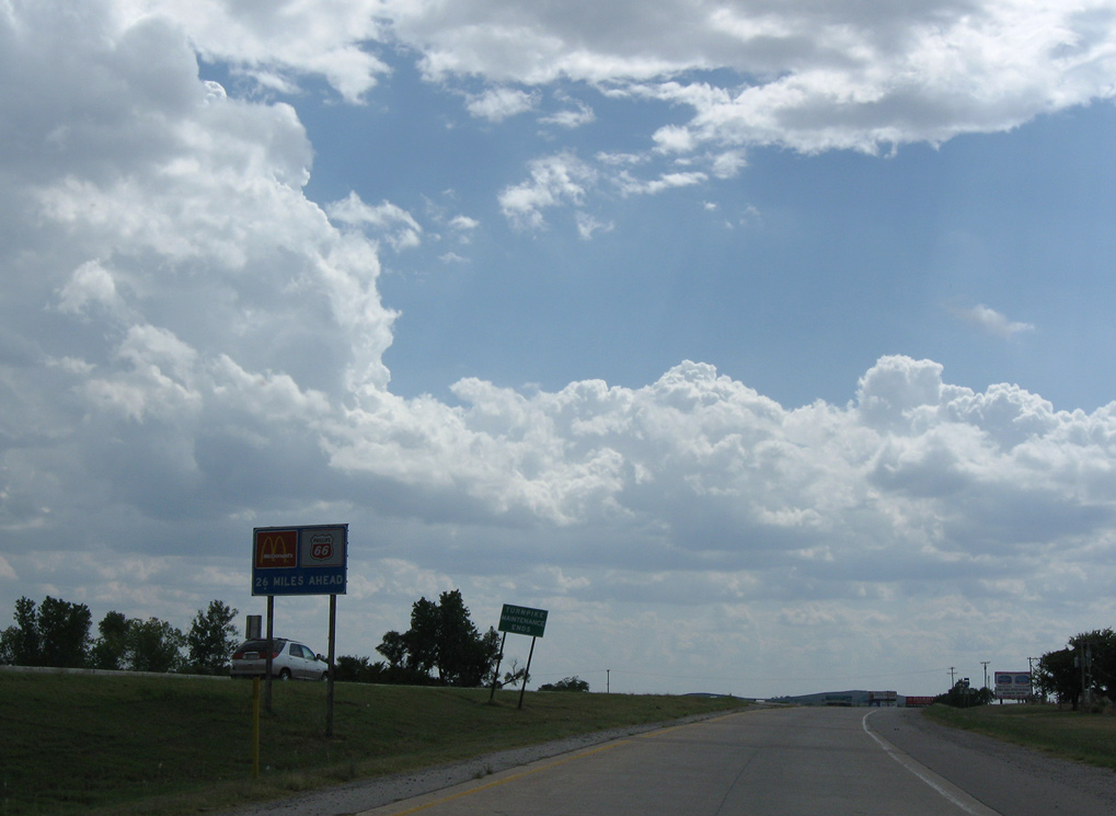
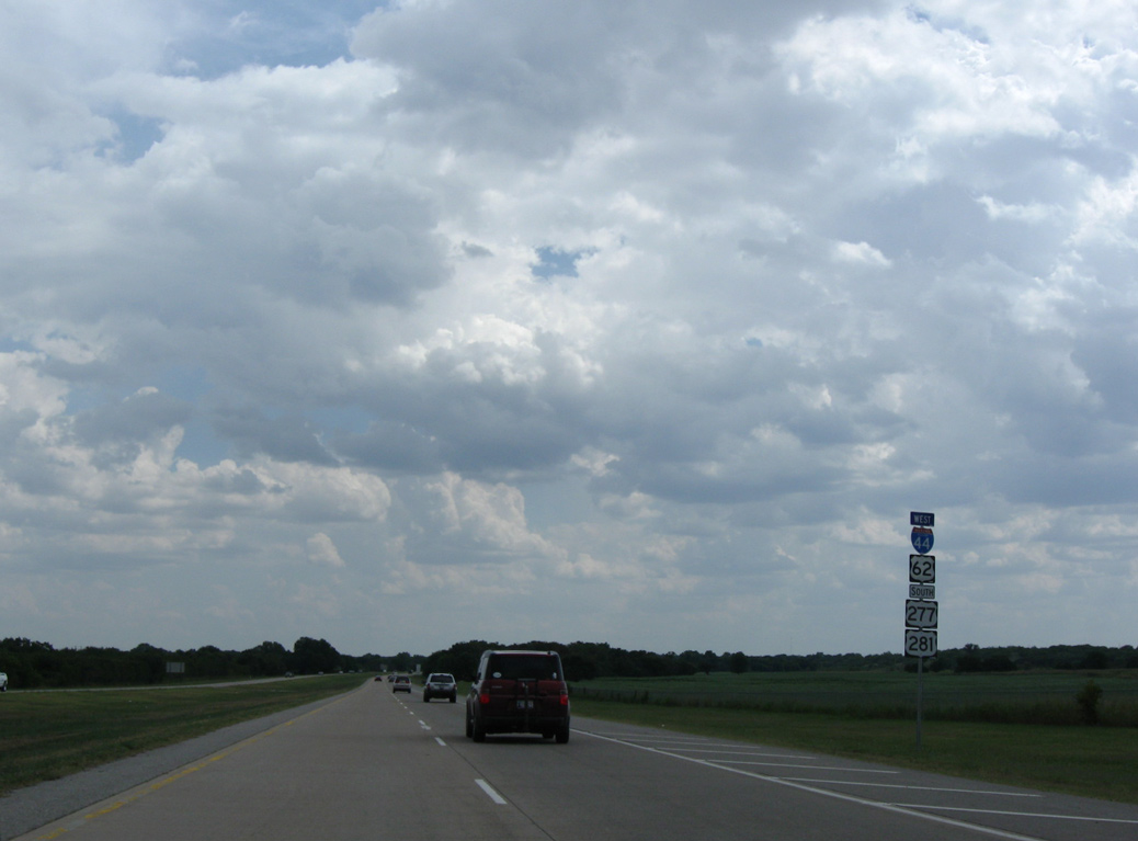
Oklahoma Turnpike Authority (OTA) maintenance concludes along IH 44 west as it shifts from the H.E. Bailey Turnpike onto a toll free route south with U.S. 62/277/281.
09/06/09
09/06/09
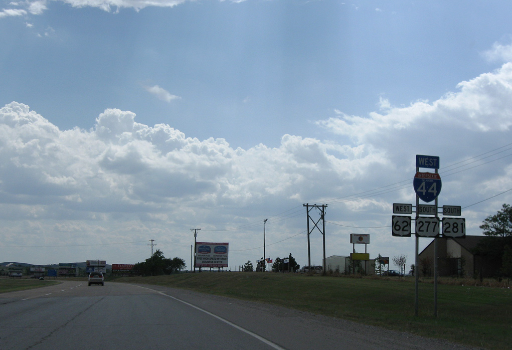
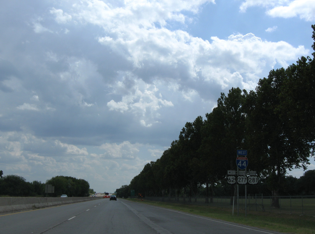
U.S. 62 overlaps with IH 44 south for 6.2 miles into Lawton. U.S. 277/281 combine with IH 44 for 16.4 miles to SH 36 near Geronimo.
09/06/09
09/06/09
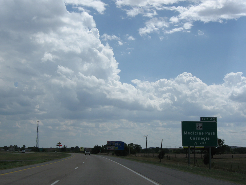
The eastern branch of SH 49 travels 7.14 miles from IH 44/U.S. 62-277-281 at Exit 45 to the Wichita Mountains National Wildlife Refuge. The western segment runs 3.84 miles from the refuge near Big Four Mountain to SH 54.
09/06/09
09/06/09
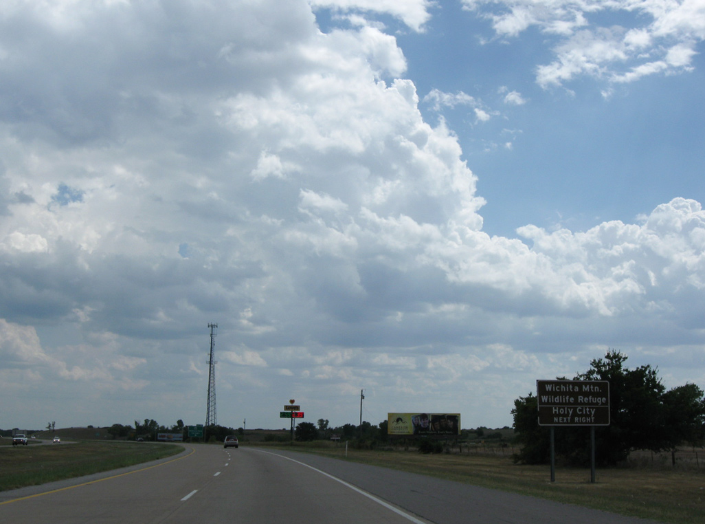
The Wichita Mountains stretch northwest from Fort Still to southern Kiowa County.
09/06/09
09/06/09
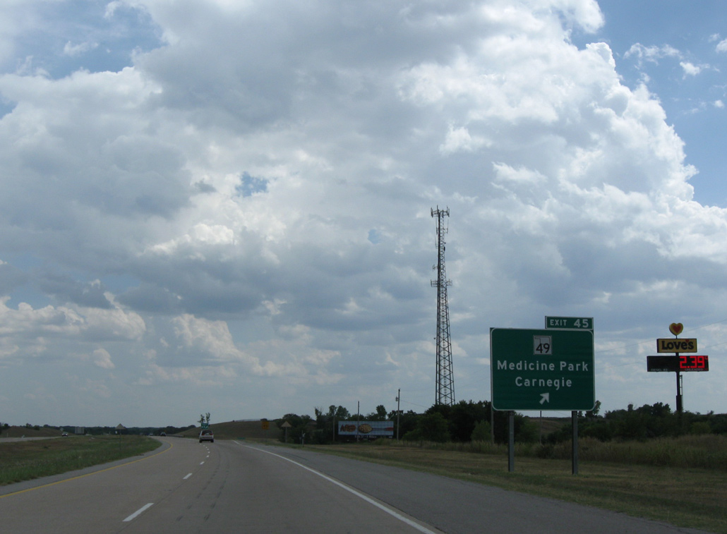
SH 49 stems west from the diamond interchange at Exit 45 to the town of Medicine Park.
09/06/09
09/06/09
09/06/09
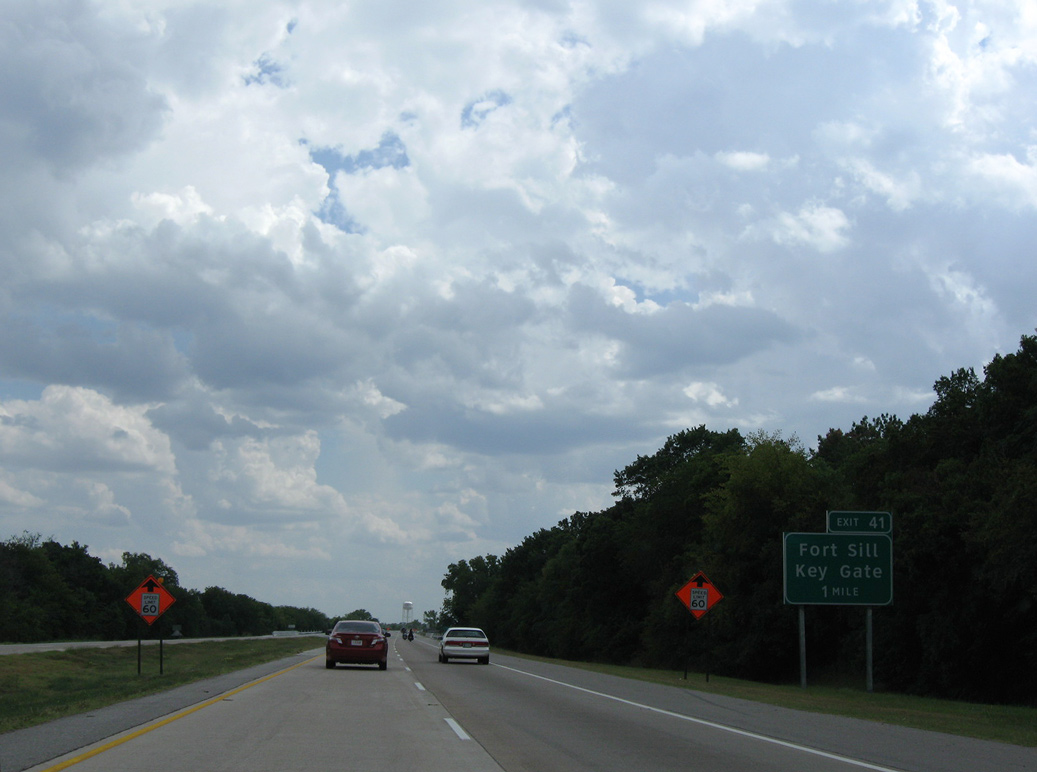
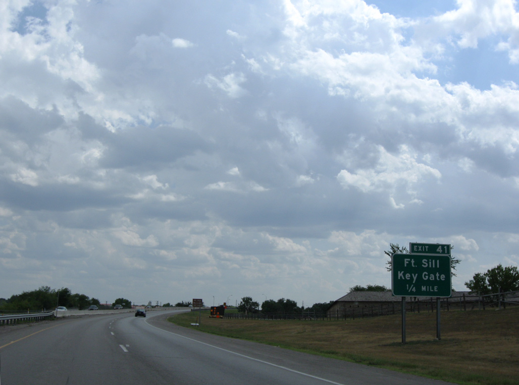
Exit 41 connects IH 44/U.S. 62-277-281 with Sheridan Road and the Key Gate into Fort Sills.
09/06/09
09/06/09
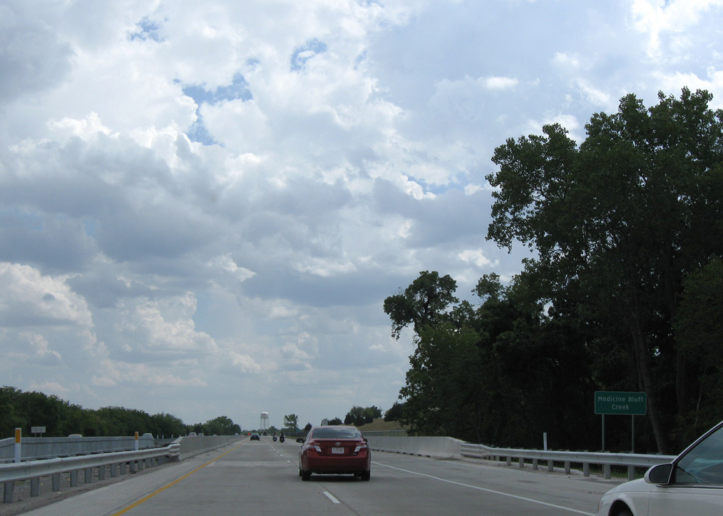
Medicine Bluff Creek flows east from the Medicine Bluffs to IH 44 by Ambrosia Springs Park and beyond the freeway into East Cache Creek.
09/06/09
09/06/09
09/06/09
09/06/09
09/06/09
U.S. 62 parts ways with IH 44/U.S. 277-281 for an expressway along the southern boundary of Fort Sill to the city of Cache.
09/06/09
09/06/09
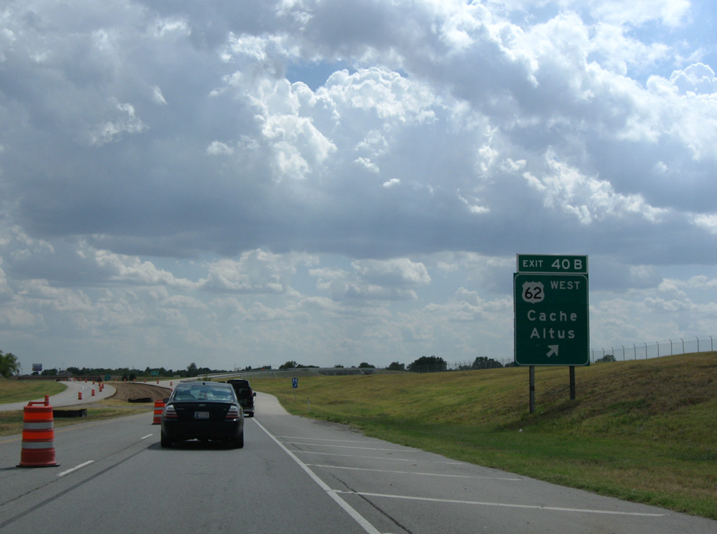
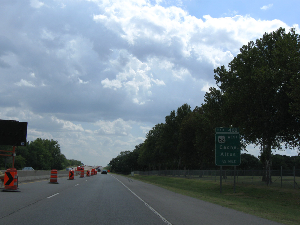
U.S. 62 departs at Exit 40 B and travels west from Lawton to the Jackson County seat of Altus en route to Lubbock, Texas.
09/06/09
09/06/09
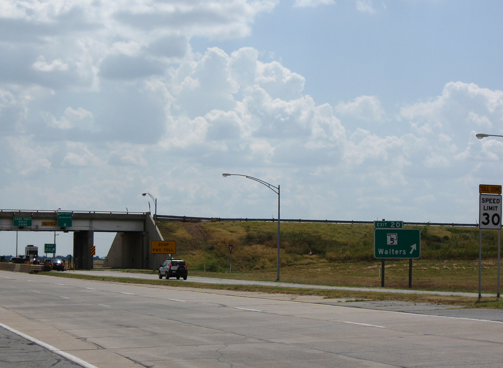
U.S. 277/281 and SH 5 meet IH 44 at Exit 20 in the town of Walters. The former toll plaza for the H.E. Bailey Turnpike was located within the four loop interchange. Conversion of the toll road to electronic toll collection (AET) in Summer 2022 removed the toll booths.
09/06/09
09/06/09
Photo Credits:
- ABRoads: 09/06/09
Page Updated Friday July 08, 2022.