
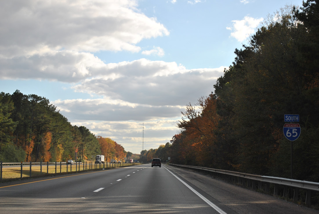
Interstate 65 South - Cullman / Blount Counties

Interstate 65 southbound climbs onto the hills of Brindley Mountain on the 11 miles leading to Cullman, seat of the county by the same name.
12/28/09
11/07/11
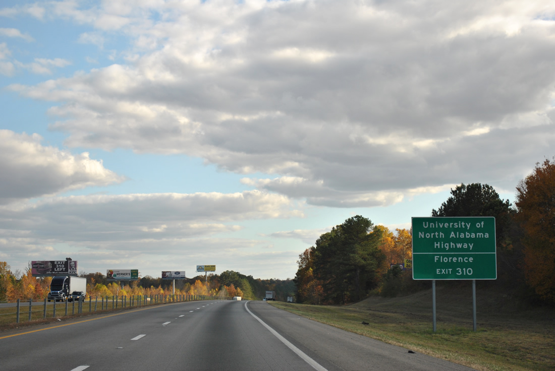
SR 157 (University of North Alabama Highway) constitutes a four lane divided highway linking I-65 at Cullman with Muscle Schoals and Florence. Widening of the highway between Exit 310 and U.S. 72 ALT/SR 20 was completed in the Summer of 2007.
11/07/11
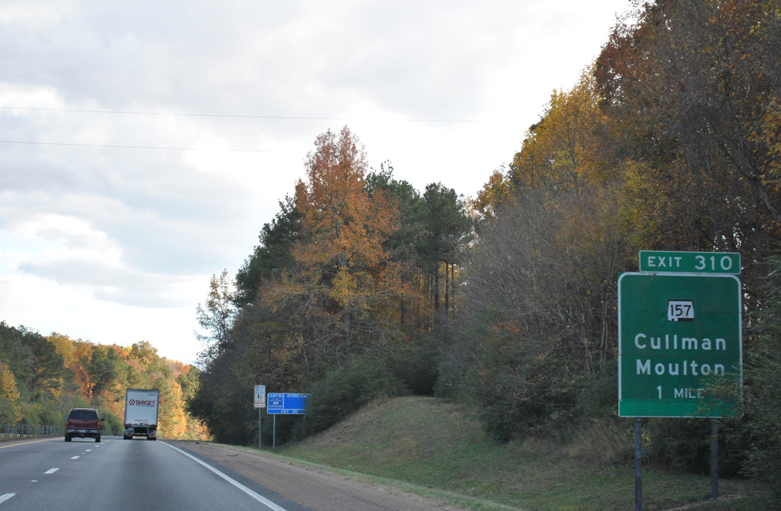
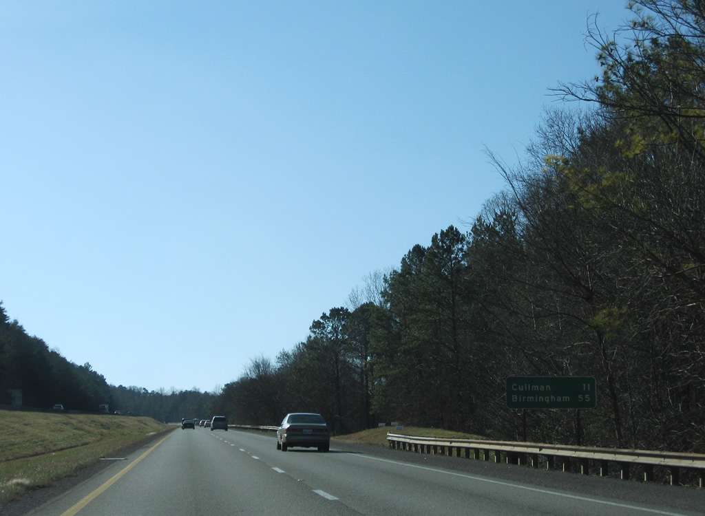
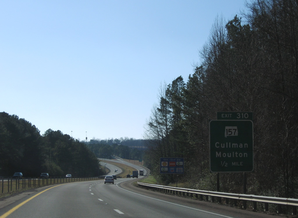
A diamond interchange joins Interstate 65 with SR 157 (University of North Alabama Highway) at Exit 310. SR 157 joins Cullman with the Lawrence County seat of Moulton, 32 miles to the northwest.
11/07/11
SR 157 travels 91.06 miles overall between U.S. 278, east of Cullman, and the Tennessee state line, north of Cloverdale.
12/28/09
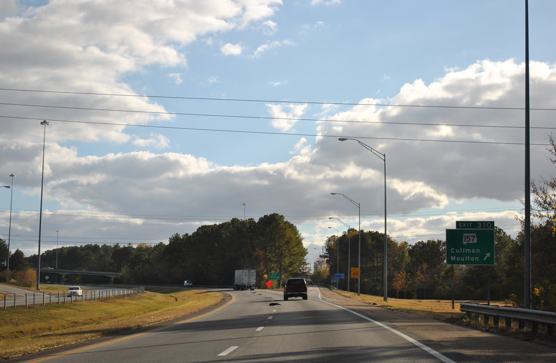
Exit 310 leaves I-65 south for SR 157 and northern reaches of Cullman. SR 157 originally ended at U.S. 31 (2nd Avenue NW), 1.2 miles to the east. An extension east to U.S. 278 opened in 1983 as a bypass of Cullman.
11/07/11
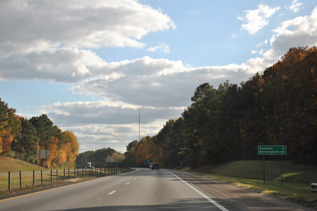
Interstate 65 stays west of Cullman on the 46 mile drive to Birmingham.
11/07/11
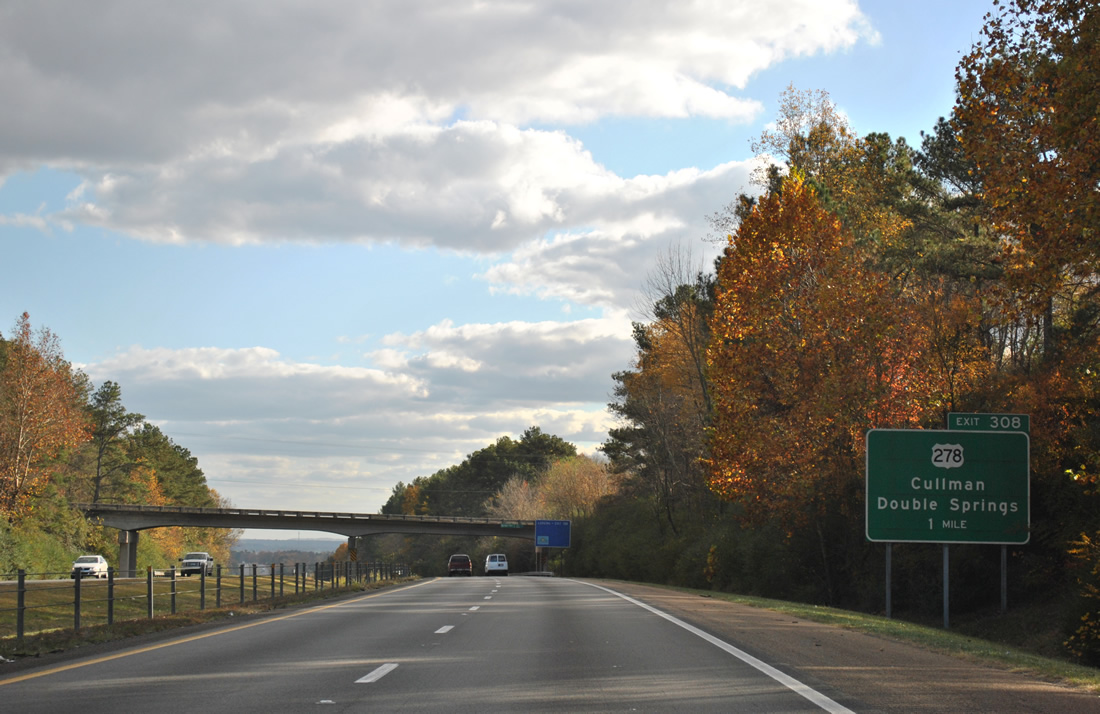
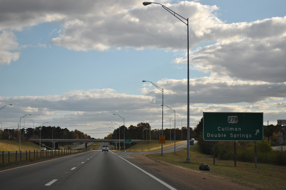
Fromhold Road spans Interstate 65 one mile of the diamond interchange (Exit 308) with U.S. 278 (4th Street SW) outside Cullman. Westward, U.S. 278 travels 12 miles to Jones Chapel and 21 miles to Addison.
11/07/11
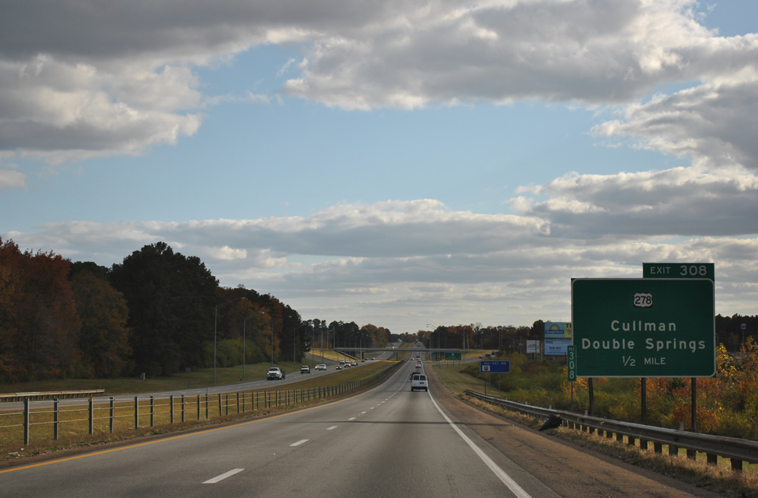
U.S. 278 joins Cullman with the Winston County seat of Double Springs, 37 miles west of Exit 308. Outside of Gadsden and Cullman, the 197 mile route across Alabama remains relatively rural.
11/07/11
U.S. 278 combines with SR 69, 1.8 miles north of Exit 308, to the east at Downtown Cullman and U.S. 31 (2nd Avenue SW). Interests to the Ave Maria Grotto in east Cullman are directed east from U.S. 278/SR 69 to St. Bernard Drive.
11/07/11
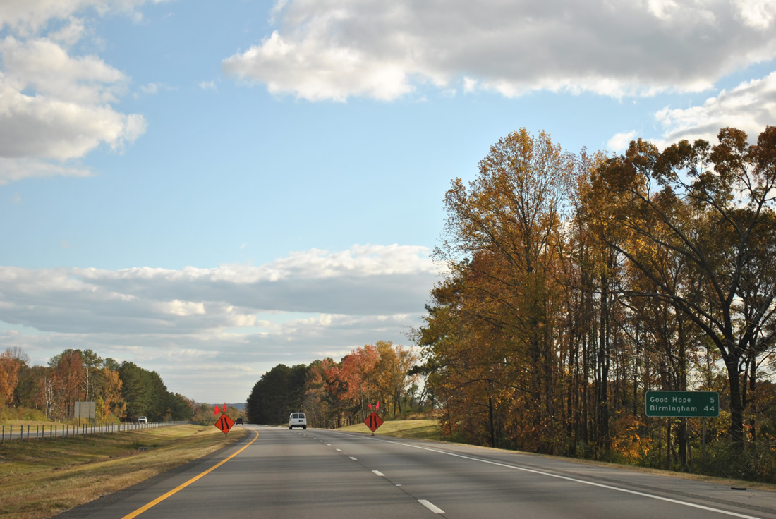
SR 69 and Interstate 65 south converge at the community of Good Hope and Exit 304.
11/07/11
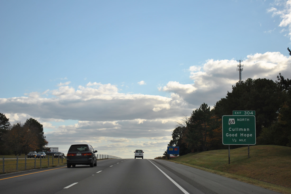
One half mile north of Exit 304 to SR 69 north and CR 437 (old SR 69) south along Interstate 65. There is no one mile guide sign for the diamond interchange.
11/07/11
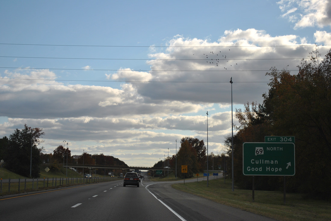
SR 69 follows Cherokee Avenue northeast from Good Hope to an overlap with U.S. 31 in Cullman. The 280.60 mile lone route concludes at Guntersville, north of the county seat. CR 437 spurs southwest to Loretto and Lewis Smith Lake.
11/07/11

 South
South
I-65/SR 69 south overlap 4.04 miles east of Lewis Smith Lake. The original route of SR 69 was submerged by the creation of Lewis Smith Lake. It utilized County Route 110 south of the lake and CR 437 north of it.
11/07/11
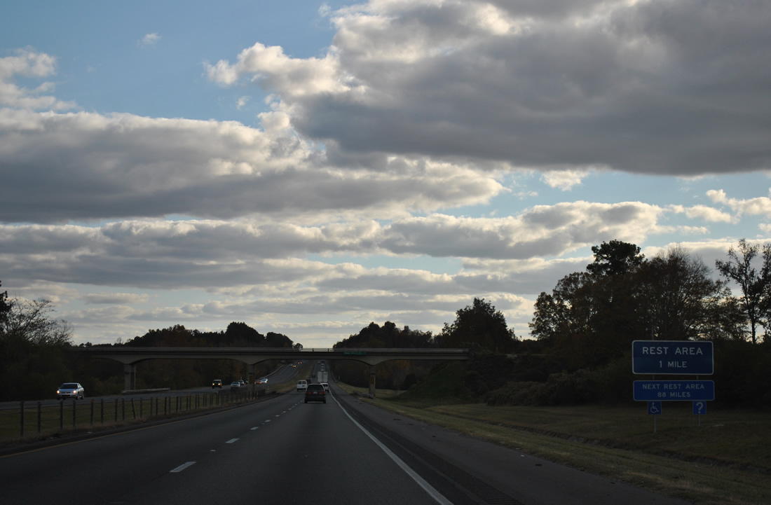
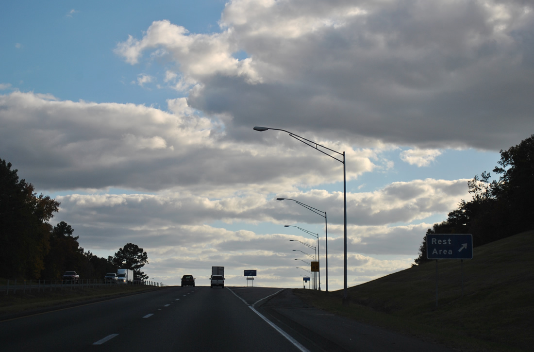
Rest areas line both sides of I-65/SR 69 south of the CR 616 overpass.
11/07/11
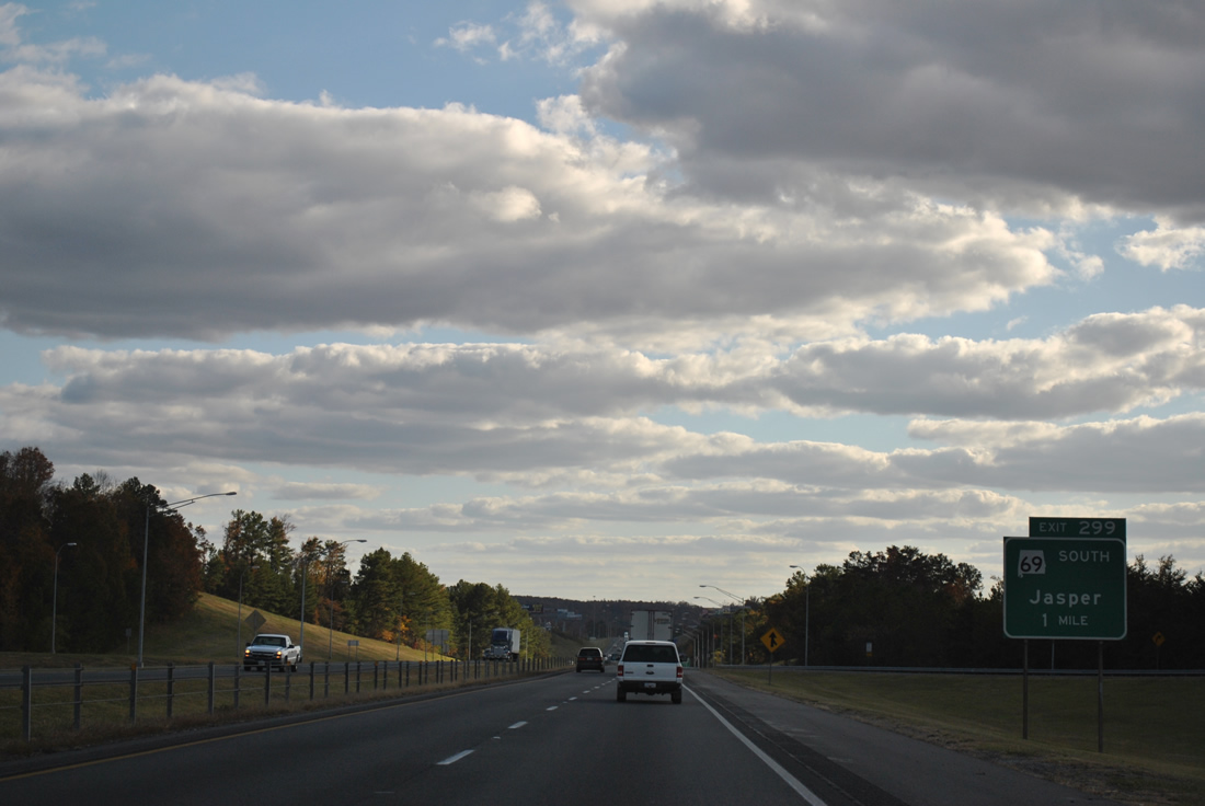
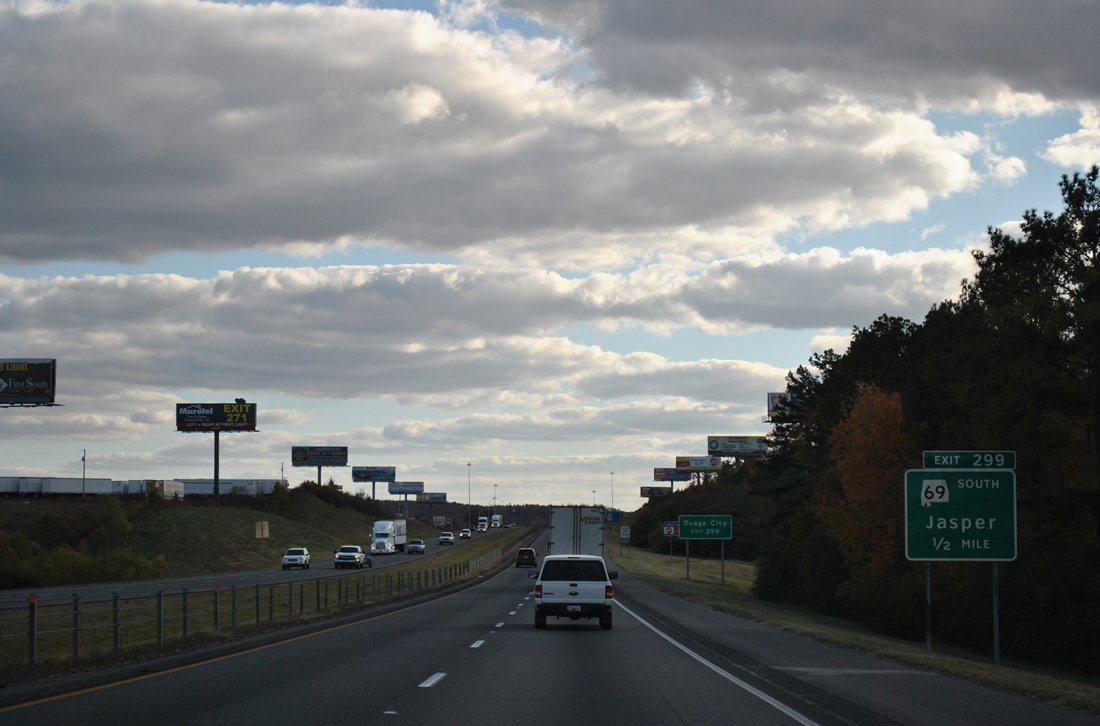
SR 69 parts ways with Interstate 65 one mile south of the rest area for Dodge City, Bremen and the Walker County seat of Jasper.
11/07/11
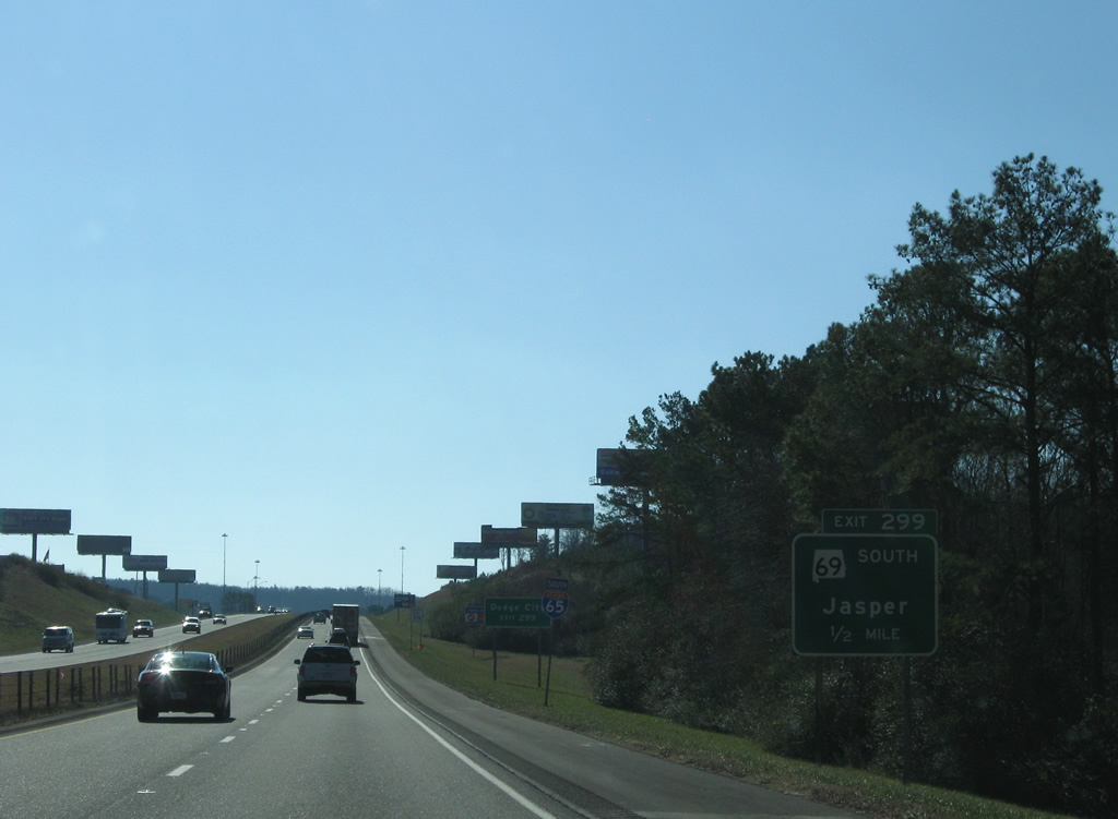
The diamond interchange at Exit 299 also connects with CR 490. CR 490 leads north to Cullman while SR 69 enters Dodge City nearby. A Clearview-font based guide sign replacement was installed between 2009 and 2011.
12/28/09
11/07/11
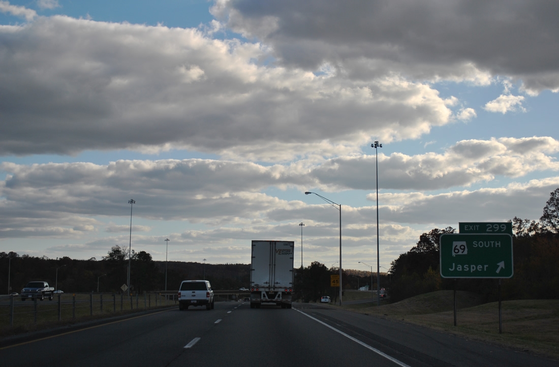
Jasper lies 37 miles southwesterly along SR 69. The state route continues from there to Northport and Tuscaloosa and ultimately Jackson in Clarke County.
11/07/11
South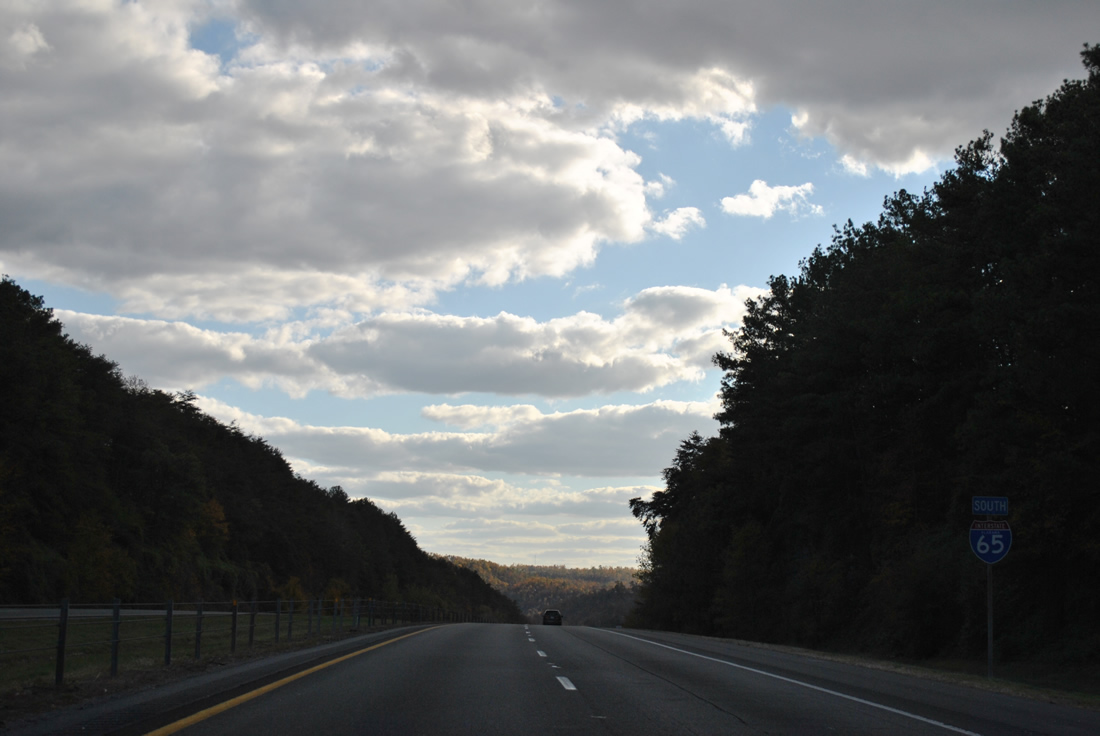
Lowering toward Marriott Creek along Interstate 65 southbound at a reassurance marker. Buttermilk Mountain appears below.
11/07/11
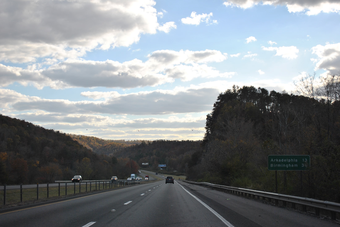
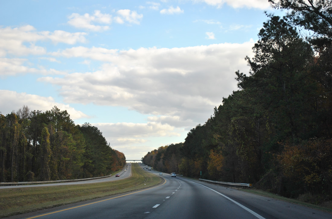
Interstate 65 winds between Prospect Mountain to the west and Stout Mountain to the east, paralleling Marriott Creek toward Black Bottom and Exit 291. Birmingham is about a half hour to the south.
11/07/11
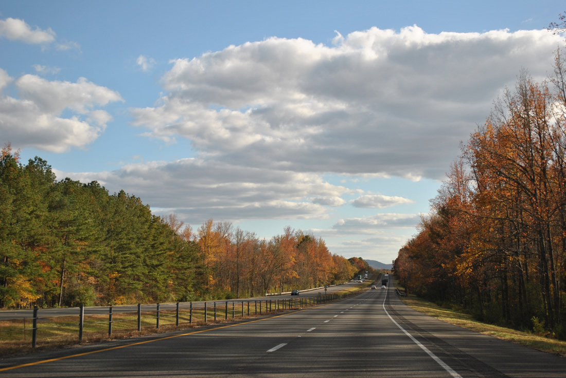
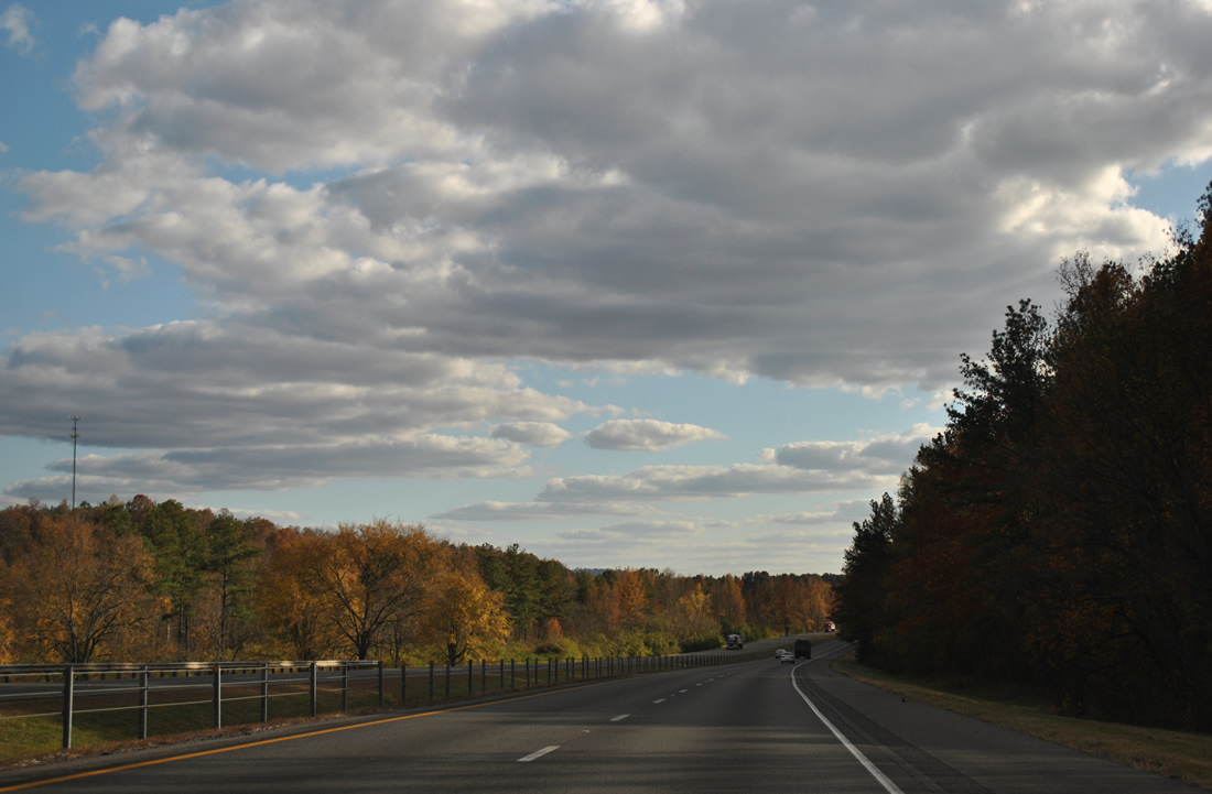
Fall colors show on the foliage alongside Interstate 65 through the Marriott Creek valley east of Prospect Mountain.
11/07/11
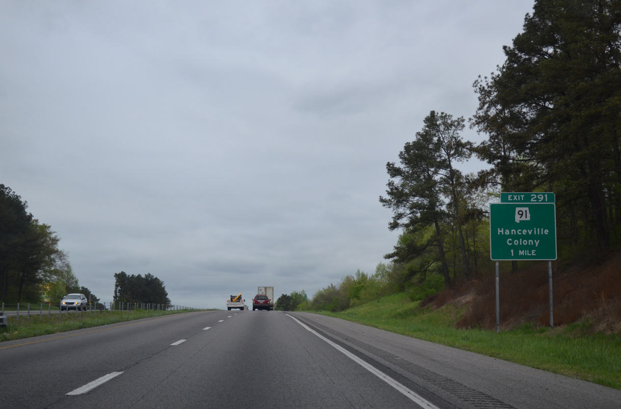
SR 91 meets Interstate 65 at a diamond interchange (Exit 291) in one mile.
04/14/13
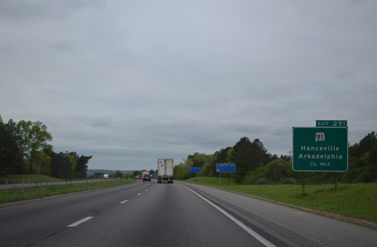
Traveling 38.16 miles, State Route 91 begins at U.S. 278 at Holly Pond to the northeast and ends at SR 69 in Wilburn. SR 91 serves Colony nearby and interests to the Shrine of the Most Blessed Sacrament.
04/14/13
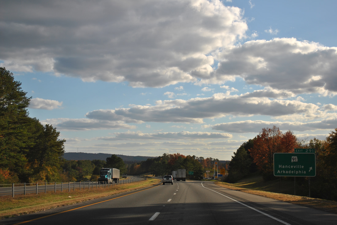
Hanceville is an 11 mile drive northeast along SR 91 at U.S. 31. West of Exit 291, the state route arcs six miles to Arkadelphia and 14 miles to SR 69.
All guide signs for Exit 291 were replaced with panels using Clearview font by 2014.
11/07/11
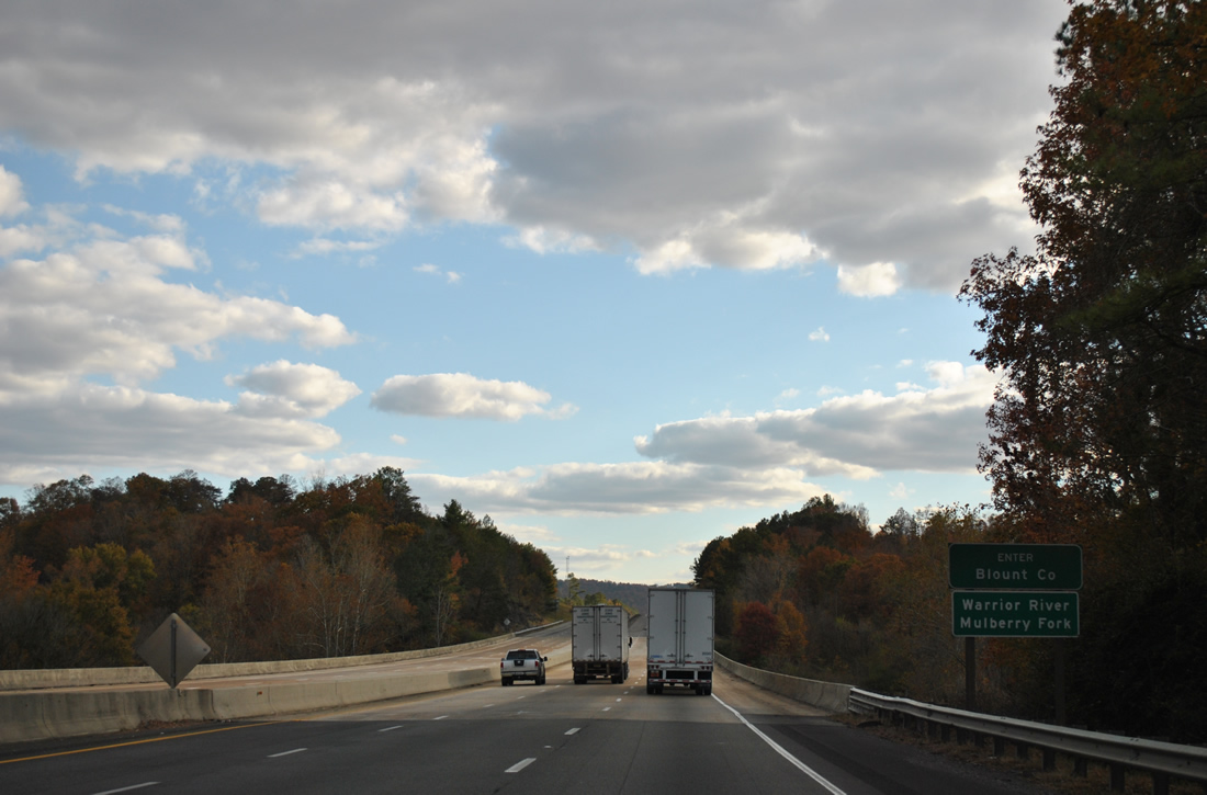
28 miles north of Downtown Birmingham, I-65 crosses the Mulberry Fork of the Warrior River. The river separates Cullman and Blount Counties and represents the northern extent of six lane Interstate 65 from the Birmingham metropolitan area.
11/07/11
Blount County Route 5, not acknowledged along guide signs for Exit 289, meets Interstate 65 in one mile at a diamond interchange.
11/07/11
County Road 5 meanders northeast from Interstate 65 to the Mill Creek gap on Duffy Mountain and U.S. 31 near Blount Springs.
11/07/11
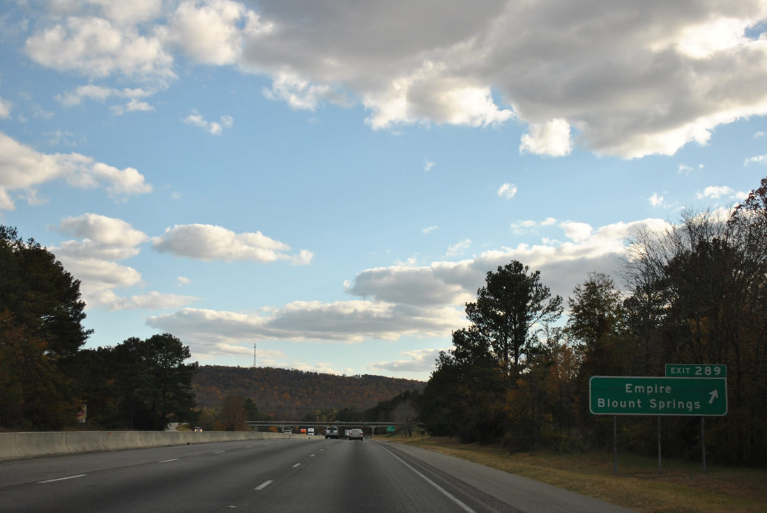
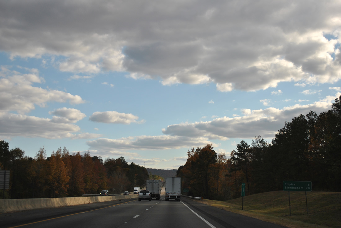
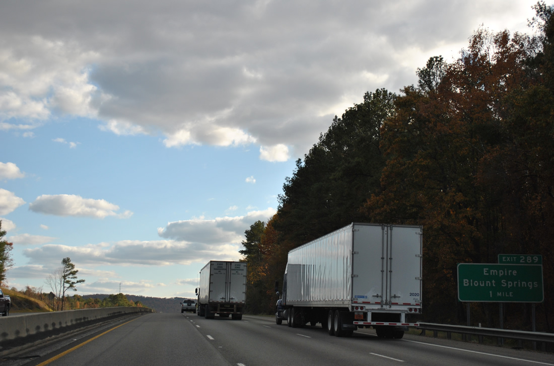
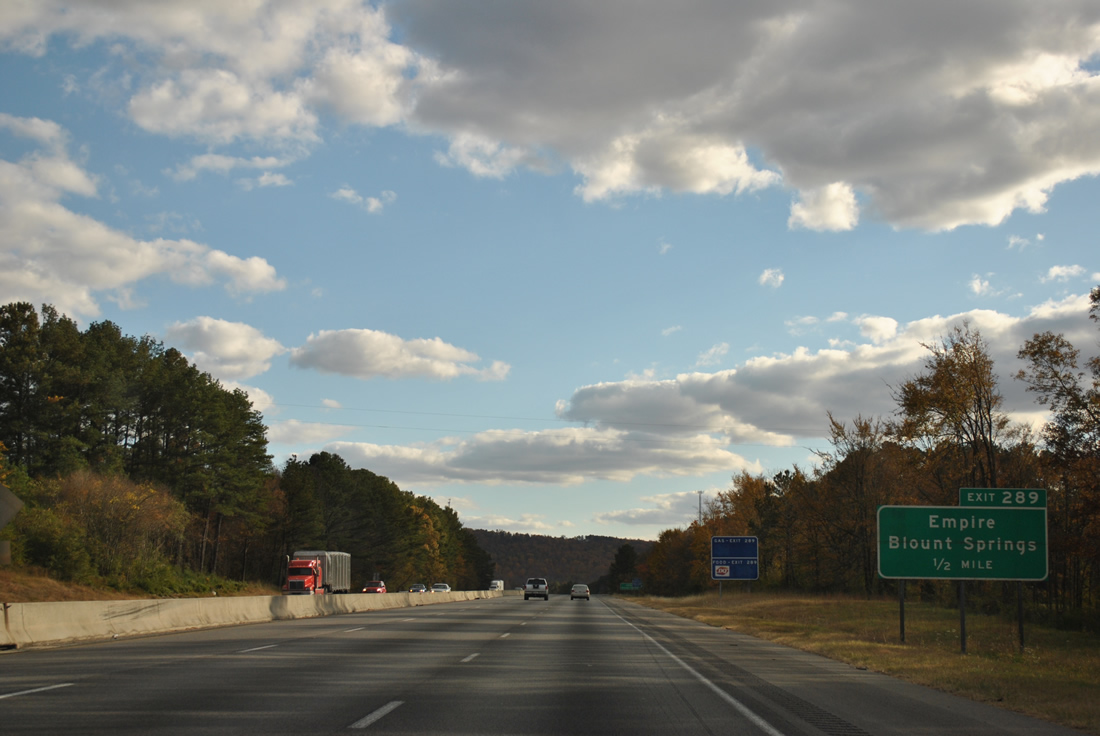
Exit 289 departs I-65 south for CR 5. Located in Walker County, Empire is accessible via CR 22 from Empire Road (CR 543), the continuation of CR 5.
11/07/11
Interstate 65 angles southeast by Hamilton Mountain.
11/07/11
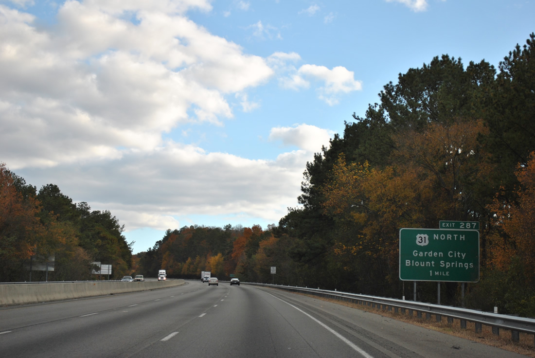
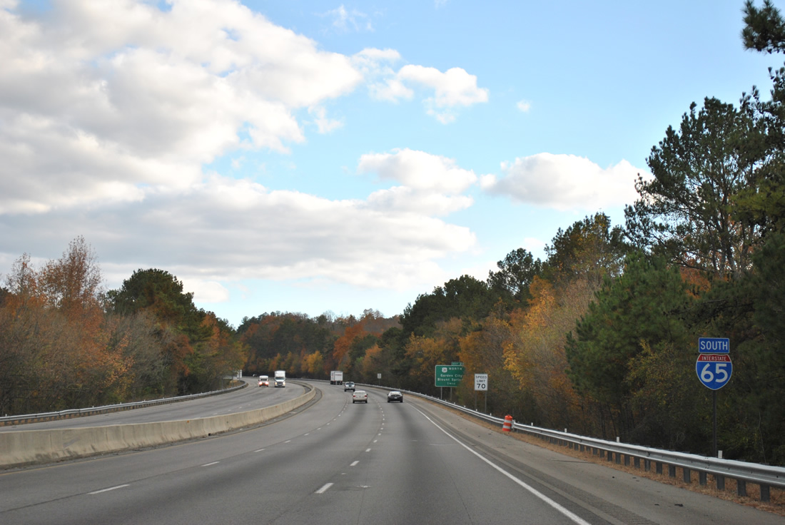
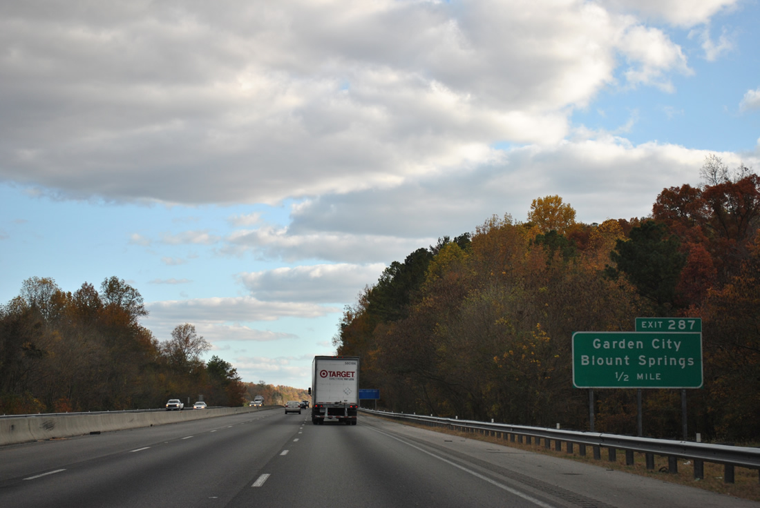
U.S. 31 arcs 12 miles southwest from Garden City to join Interstate 65 at Exit 287 in one mile.
11/07/11

Warrior, the first Jefferson County town along Interstate 65 and U.S. 31 south, follows in nine miles.
11/07/11
An elongated diamond interchange brings U.S. 31 southbound onto Interstate 65 from Bee Line Highway adjacent to Bryant Mountain. Poplar Trail spurs south from the interchange as former U.S. 31 to Thomas Mountain.
11/07/11
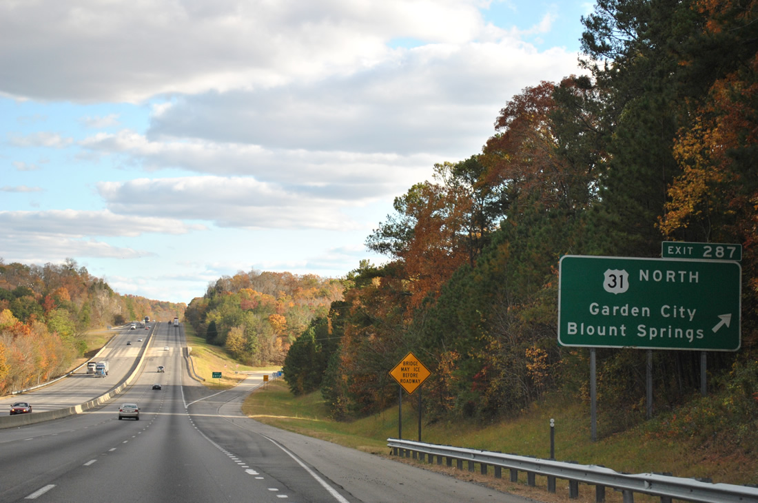
Exit 287 branches away from Interstate 65 south for U.S. 31 (Bee Line Highway) north five miles to Blount Springs and Poplar Trail south.
11/07/11
 South
South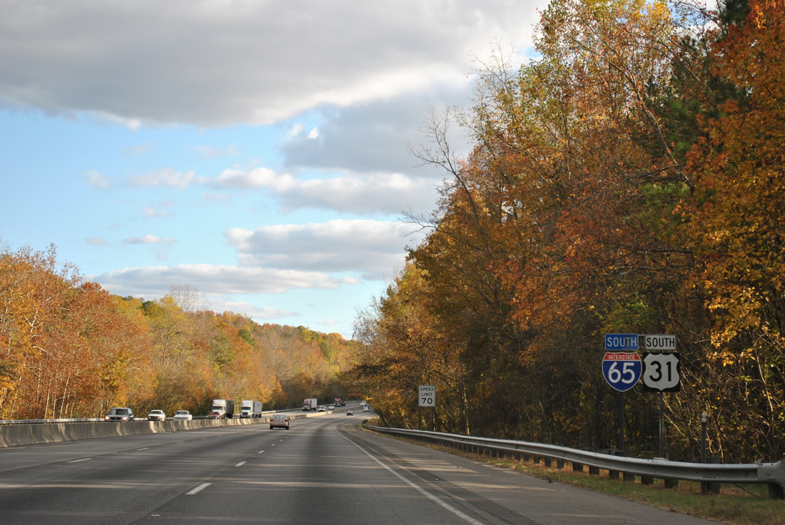
Construction of Interstate 65 overtook the original U.S. 31 alignment through Reid Gap and is why the two routes overlap for the second time in Alabama.
11/07/11
This I-65/U.S. 31 concurrency is just 3.01 miles as the routes separate at Exit 284. U.S. 31 rejoins its original route into Warrior.
11/07/11
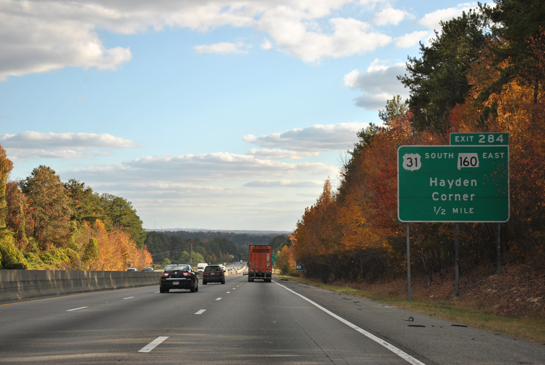
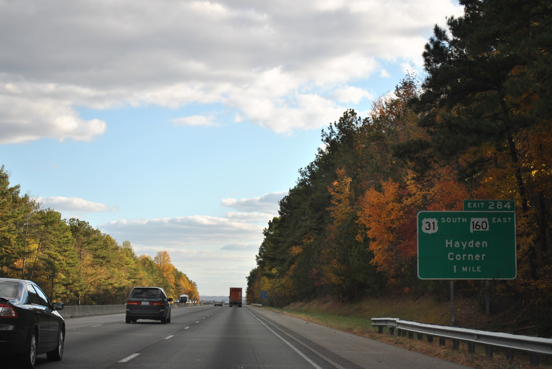
The folded diamond interchange at Exit 284 leads to the continuation of U.S. 31 south to SR 160 east at Smoke Rise. Skyline Drive ties into the junction from Rickwood Caverns State Park to the west. White Oak Trail (former U.S. 31) stems north from the east.
11/07/11
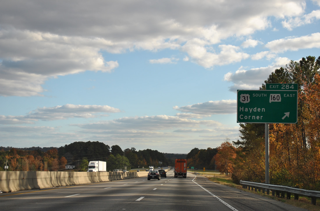
Exit 284 from Interstate 65 south loops onto an access road carrying U.S. 31 south to SR 160 nearby. SR 160 leads 18.41 miles northeast to Hayden, Nectar, and Cleveland.
11/07/11
South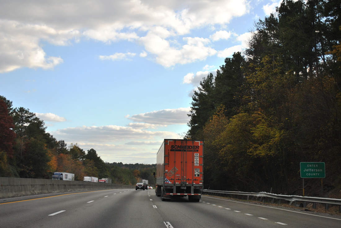
Interstate 65 enters Jefferson County beyond Exit 284. The county line concludes a 6.92 mile stretch in western Blount County.
11/07/11
Photo Credits:
- Alex Nitzman: 12/28/09
- ABRoads: 11/07/11
- AARoads: 04/14/13
Page Updated Thursday February 18, 2016.