
Interstate 65 South - Johnson / Shelby Counties
 South
South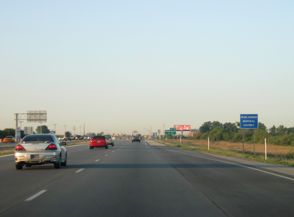
Interstate 65 is given the name of the Pearl Harbor Memorial Highway through Johnson County, but the name is not commonly used.
06/06/12
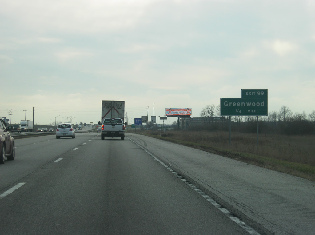
South of Exit 101, Interstate 65 approaches Exit 99, serving Greenwood's Main Street. Exit 99 for a long time was the only Greenwood interchange and had become congested from the growing suburban population, prompting the need for Exit 101. There is now a possibility for a new exit, Exit 97 to be built two miles to the south of Exit 99 at Worthsville Road, but no timetable has been set.
12/16/11
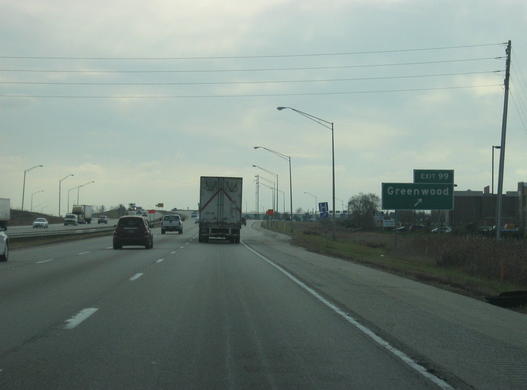
Exit 99 is a diamond interchange between Interstate 65 and Main Street. To the east, the road becomes Rocklane Road, heading into the rural environs of Greenwood. To the west, it is Main Street through the heart of Greenwood and west to SR 135 where it ends.
12/16/11
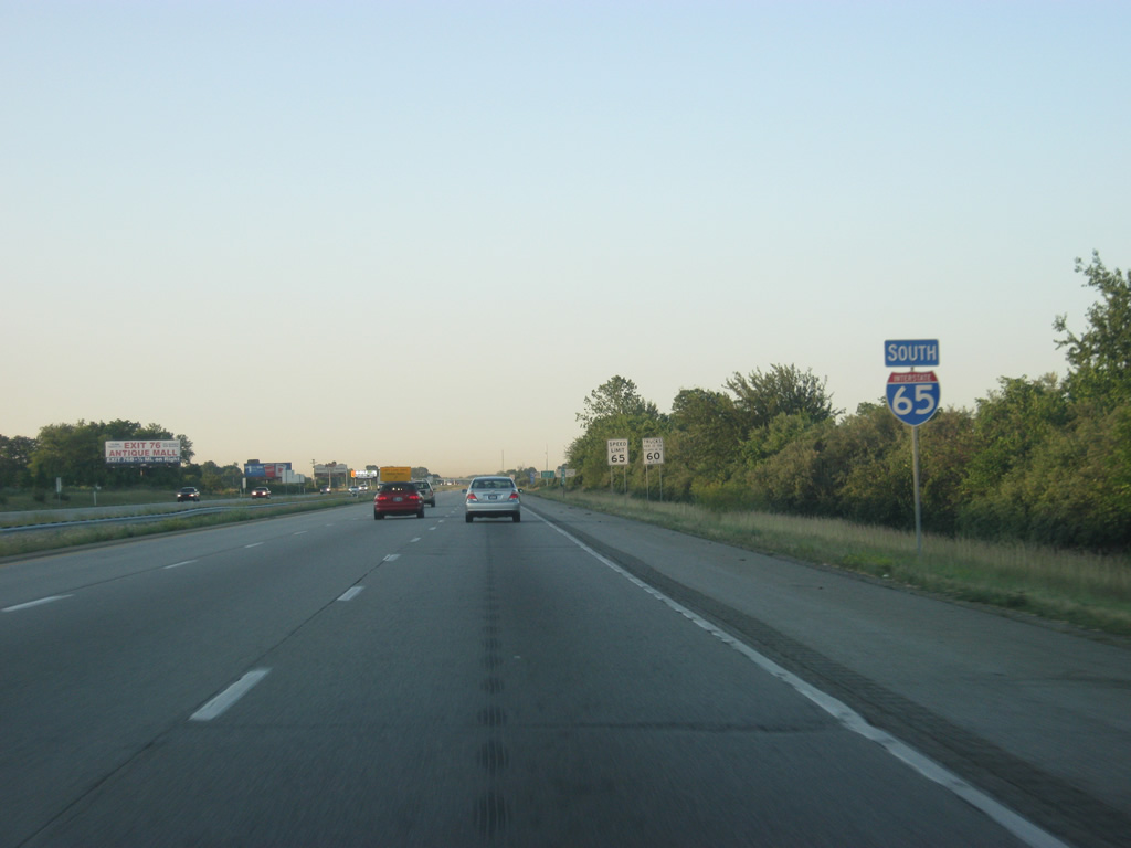
An Interstate 65 reassurance shield south of Exit 99. At this spot, the highway reverts back to four lanes with the bulk of the Indianapolis suburban traffic gone. Still, there is plenty of traffic en route toward Franklin, Columbus and Louisville.
06/06/12
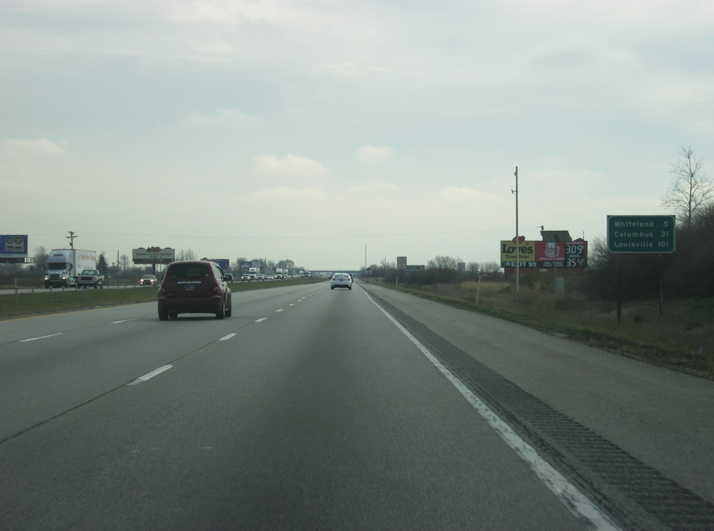
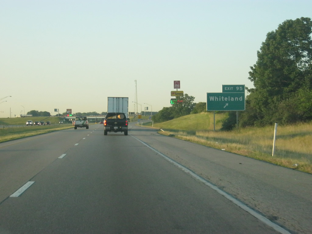
As the inner lane of Interstate 65 southbound collapses, a distance sign announces the next destination of Whiteland (5 miles) along with Columbus (31 miles) and Louisville (101 miles).
12/16/11
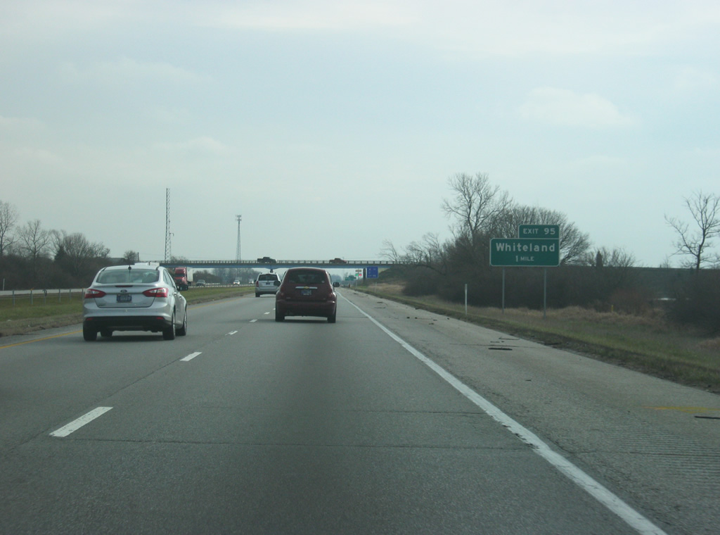
Now approaching Exit 95 (Whiteland Road). As the name suggests, Whiteland Road serves the communities of Whiteland and New Whiteland along U.S. 31 to the west.
12/16/11
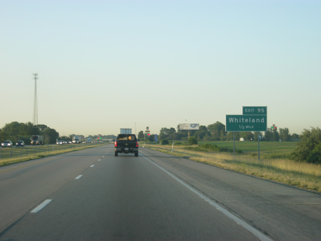
A half mile away from Exit 95 (Whiteland). Several truck stops surround the interchange with Whiteland Road providing a rest stop for truckers heading south toward Louisville or north into Indianapolis.
06/06/12
Now at Exit 95 (Whiteland) which is a diamond interchange with Whiteland Road. Whiteland Road continues to the west to U.S. 31 as well as SR 135 and SR 37, connecting those highways with Interstate 65.
06/06/12
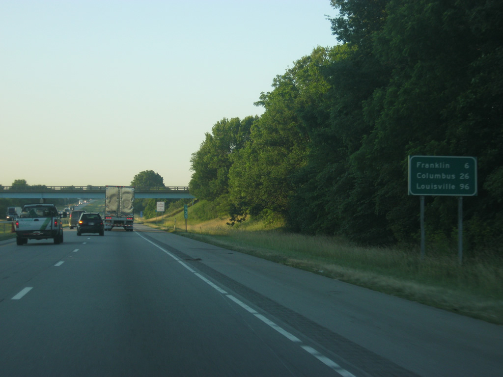
South of Exit 95 (Whiteland), the next community, the Johnson County seat of Franklin, is six miles away. Columbus is 26 miles and Louisville is 96 miles.
06/06/12
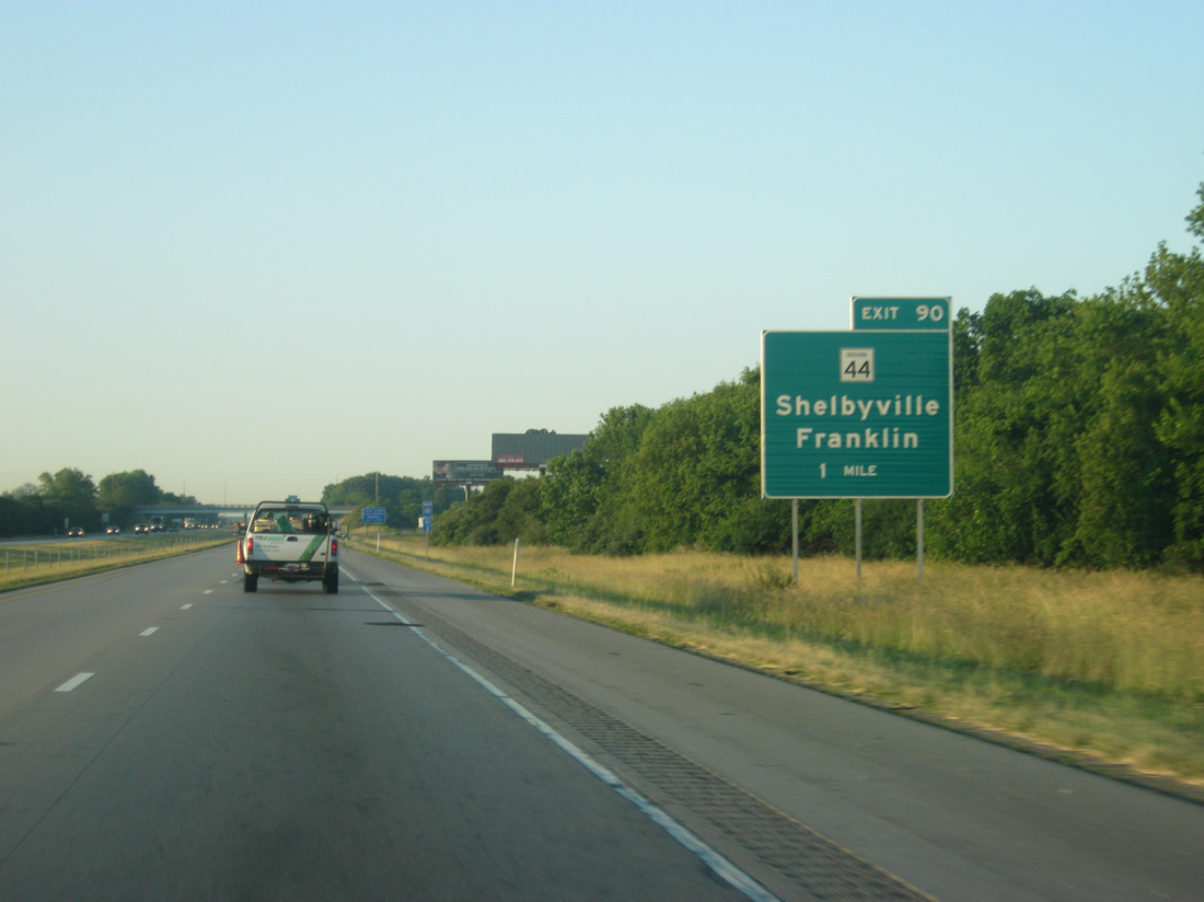
Now approaching Exit 90 (SR 44) which serves the communities of Franklin to the immediate west and Shelbyville, about 20 miles to the east.
06/06/12
Now a half mile away from Exit 90 (SR 44). SR 44 is a 90 mile highway that stretches from Martinsville at SR 37 to the west to the Ohio border east of Liberty, connecting Franklin, Shelbyville, Rushville, and Connersville along the way.
06/06/12
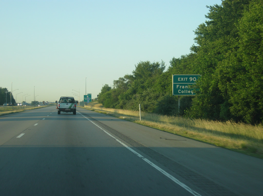
Franklin College, a private liberal arts college that was founded in 1834 is just west along SR 44 in Franklin.
06/06/12

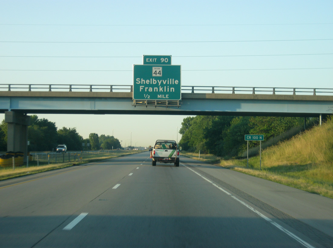
A diamond interchange facilitates movements between Interstate 65 and SR 44. In Franklin the road is known as King Street and then Jefferson Street as it moves past the Downtown of the community before heading west toward Martinsville. Shelbyville lies to the east at Interstate 74 and was recently rebuilt to handle the added traffic between Franklin and Shelbyville.
06/06/12
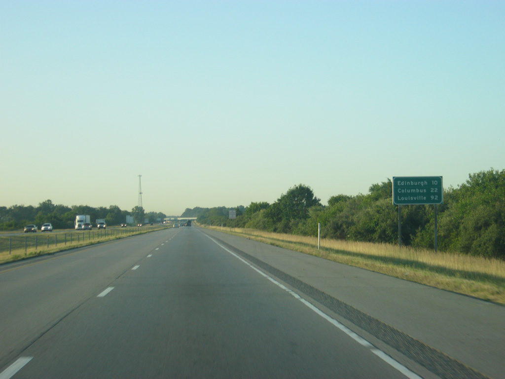
South of Exit 90, the town of Edinburgh lies next at ten miles. Columbus follows at 22 miles with Louisville at 92 miles.
06/06/12
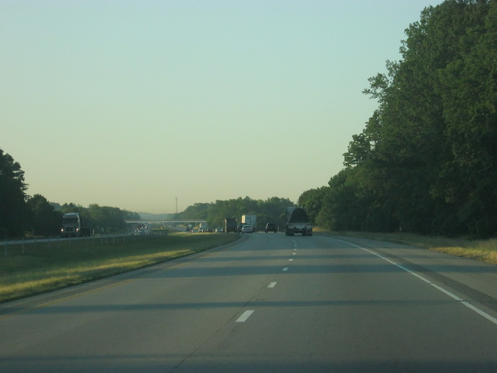
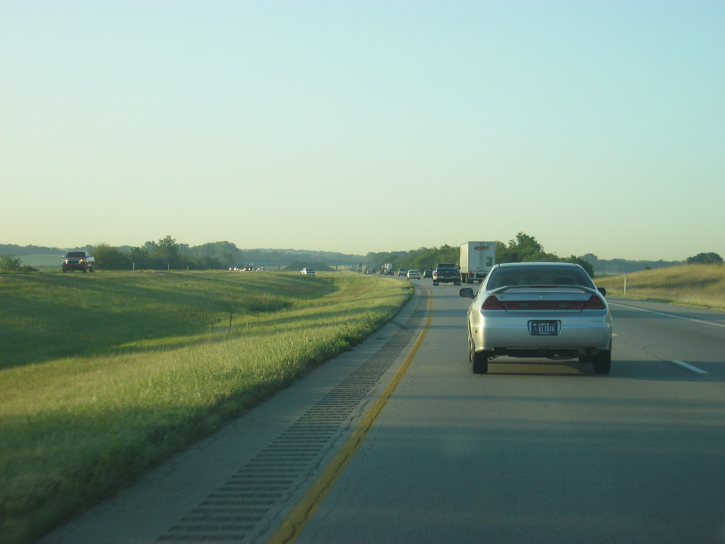
Views of Interstate 65 along the ten mile stretch in between interchanges from Franklin to Edinburgh.
06/06/12
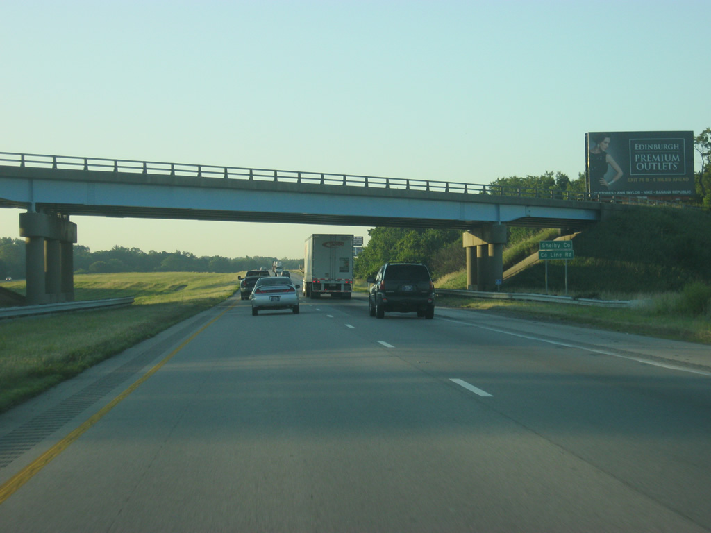
Interstate 65 south passes underneath County Line Road and enters the extreme southwestern corner of Shelby County.
06/06/12
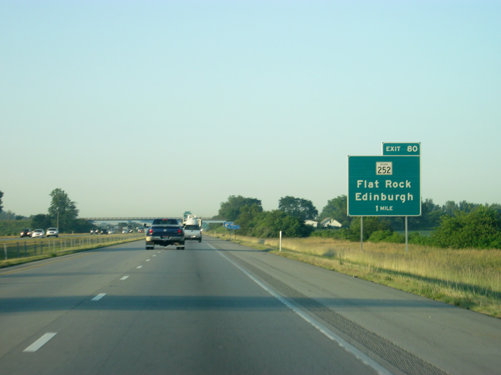
SR 252 joins Interstate 65 with Edinburgh and Flat Rock via Exit 80 in one mile.
06/06/12
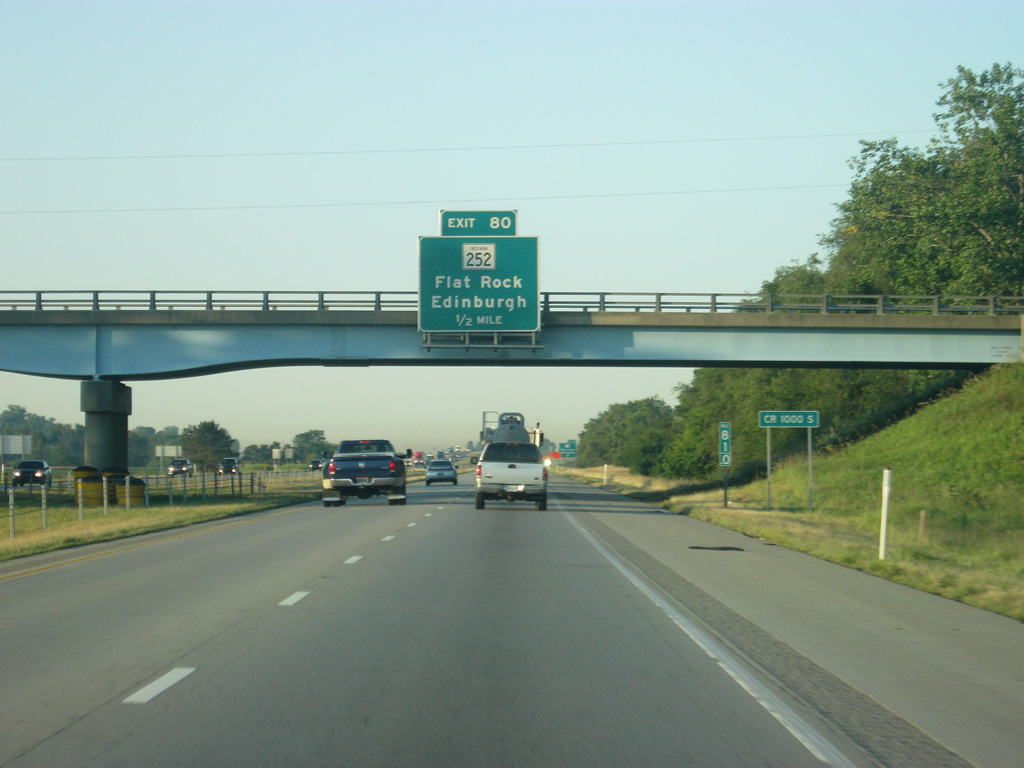
One half mile north of the Exit 80 diamond interchange with SR 252. SR 252 follows Shelby Avenue to the Edinburgh city center and Center Cross Street to old U.S. 31. SR 252 and U.S. 31 share 3.7 miles northwest from town to a split for Trafalgar and Franklin respectively.
06/06/12
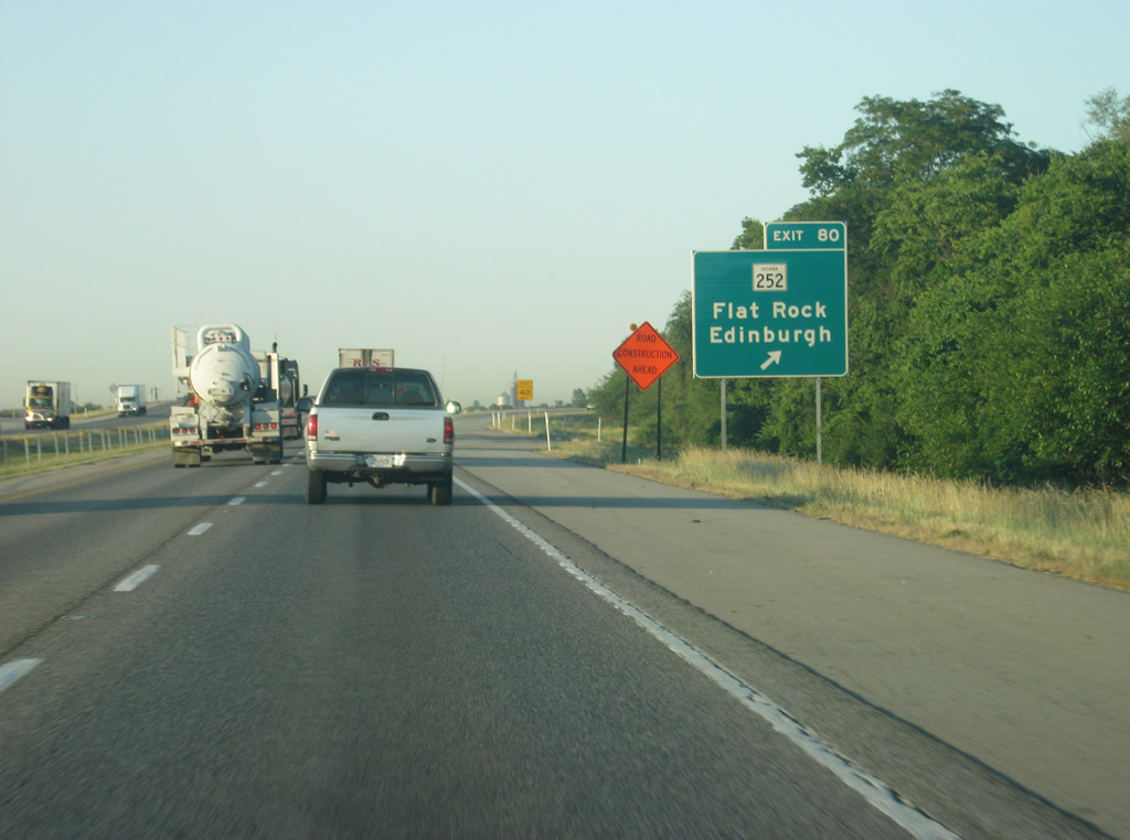
Exit 80 parts ways with Interstate 65 north for SR 252. SR 252 ends about ten miles to the east of Flat Rock at SR 9. The west section of the route travels 39 miles overall from Martinsville eastward. A second segment of SR 252 exists for 11 miles between Brookville and the Ohio state line near Scipio.
06/06/12
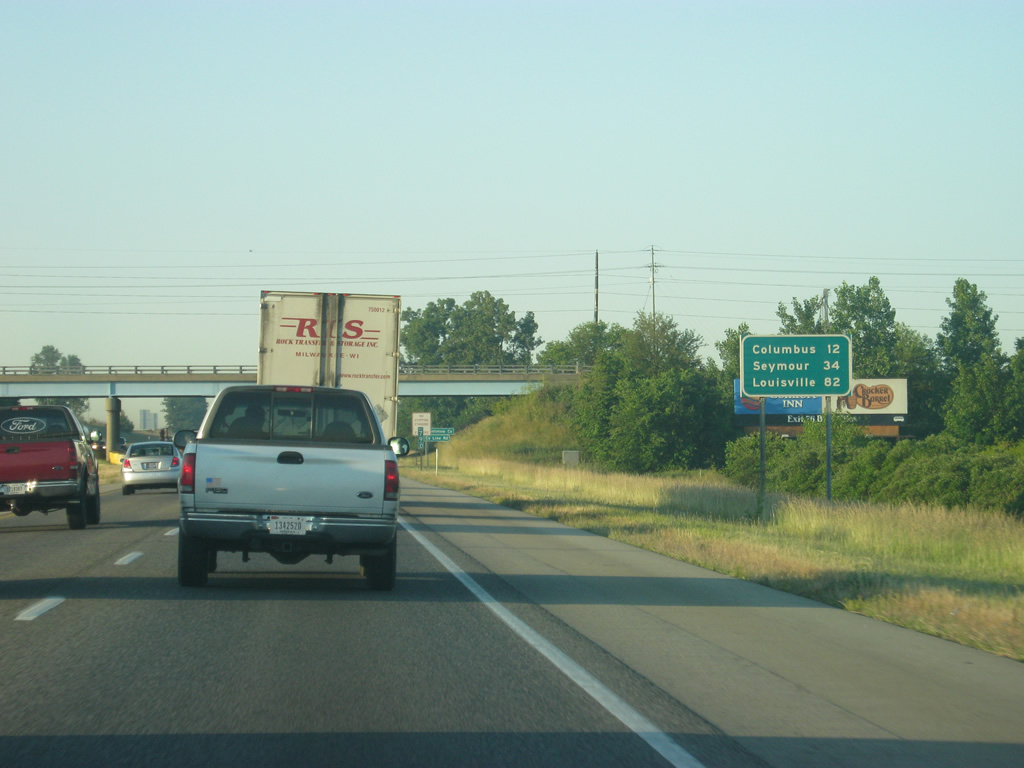
Columbus is now 12 miles away with Seymour at 34 miles. Louisville is 82 miles away.
06/06/12
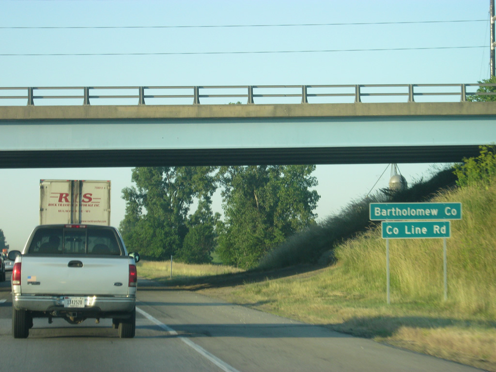
Interstate 65 south passes underneath County Line Road, again, to cross into Bartholomew County.
06/06/12
Photo Credits:
- Thomas Decker: 12/16/11, 06/06/12
Page Updated Tuesday February 26, 2013.