
Interstate 69 South - Bloomington to Crane


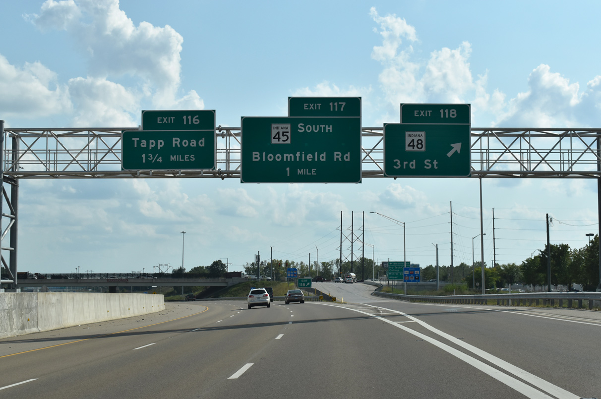
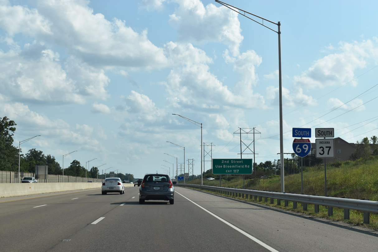
SR 45 joins I-69/SR 37 south for a 2.4 mile overlap to Exit 117.
09/08/20
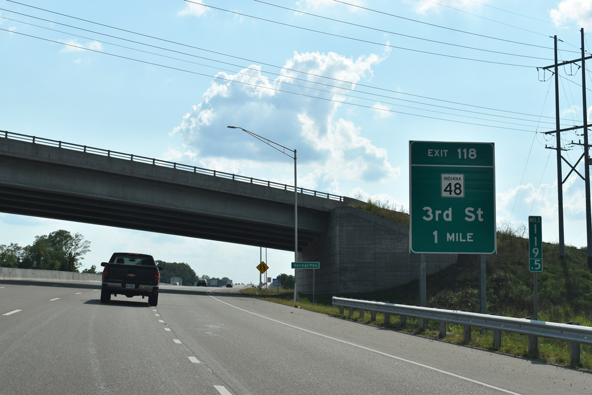
W Vernal Pike spans I-69 one mile out from SR 48 (3rd Street).
09/08/20
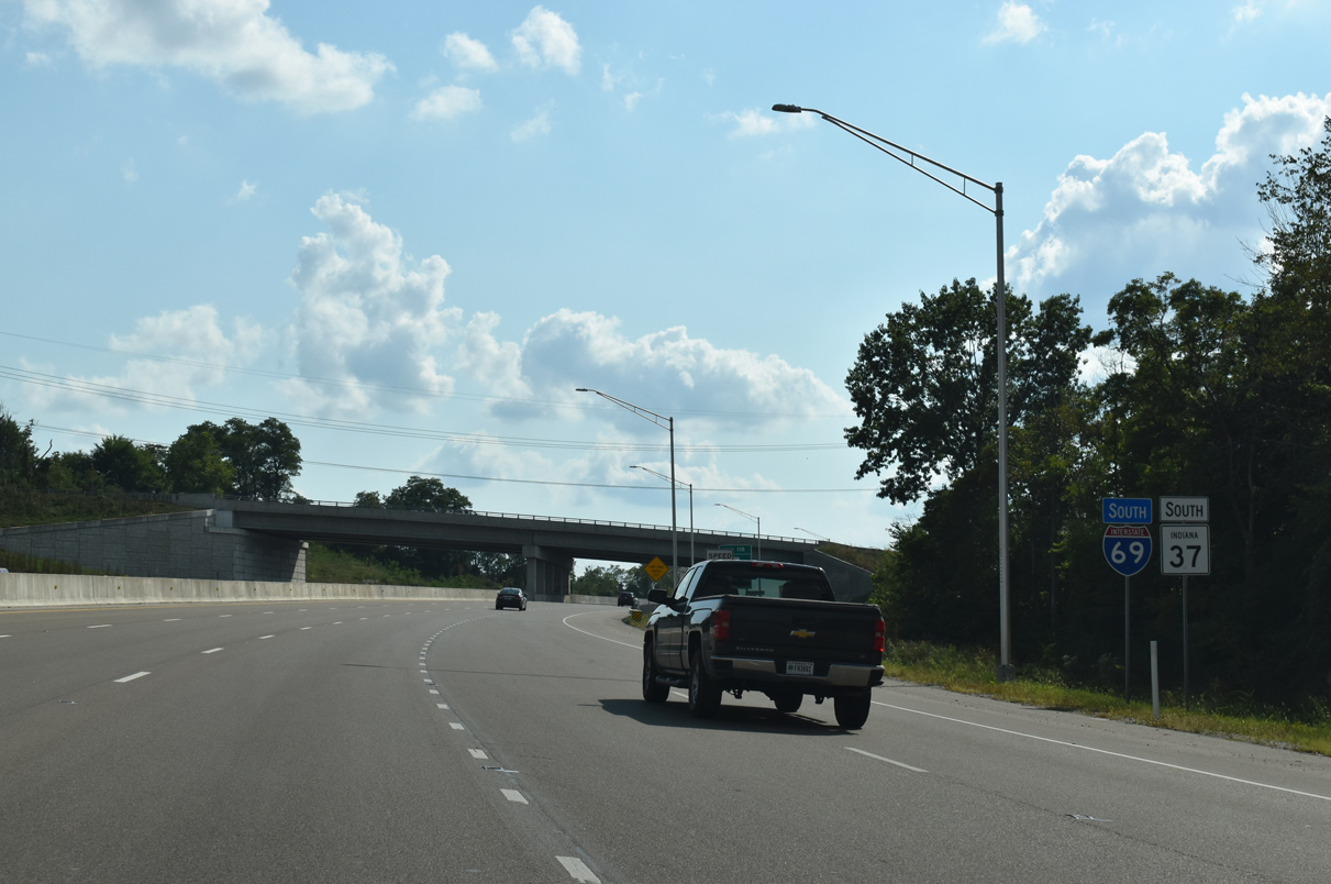
SR 48 links I-69/SR 37-45 with SR 43 at Whitehall, eight miles to the west.
09/08/20
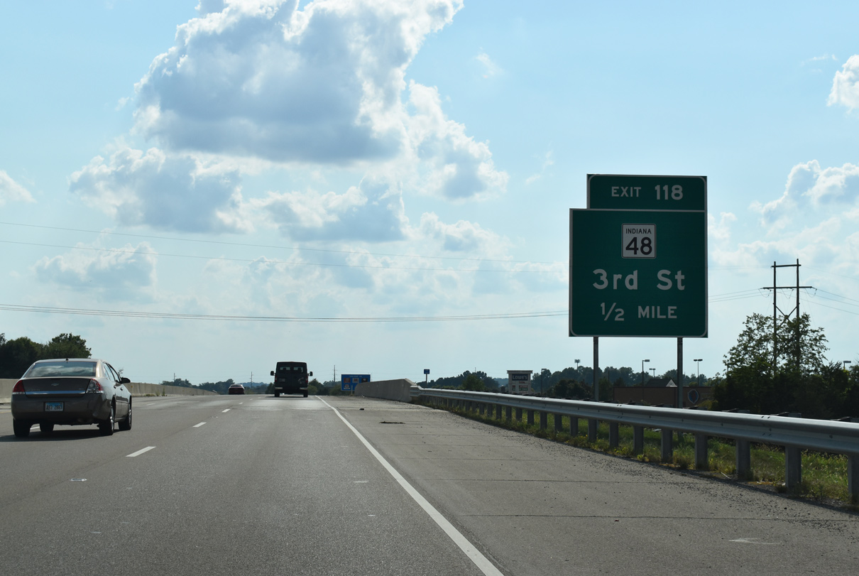
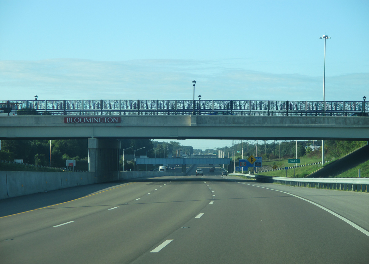
Commercial centers occupy the west side of the diamond interchange (Exit 118) with SR 48. W 3rd Street continues east from I-69 into downtown Bloomington.
09/08/20
Overpasses along the ensuing stretch of I-69 are lined with decorative barriers.
08/28/19
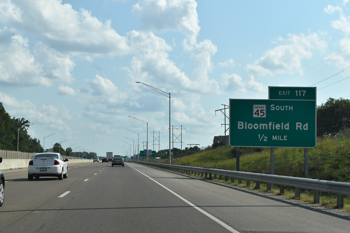
Motorists pass beneath an Indiana Railroad Corporation rail line one half mile out from the departure of SR 45 (Bloomfield Road) south.
09/08/20
Confirming markers stand ahead of the folded diamond interchange (Exit 117) with SR 45 south and W Bloomfield Road.
09/08/20
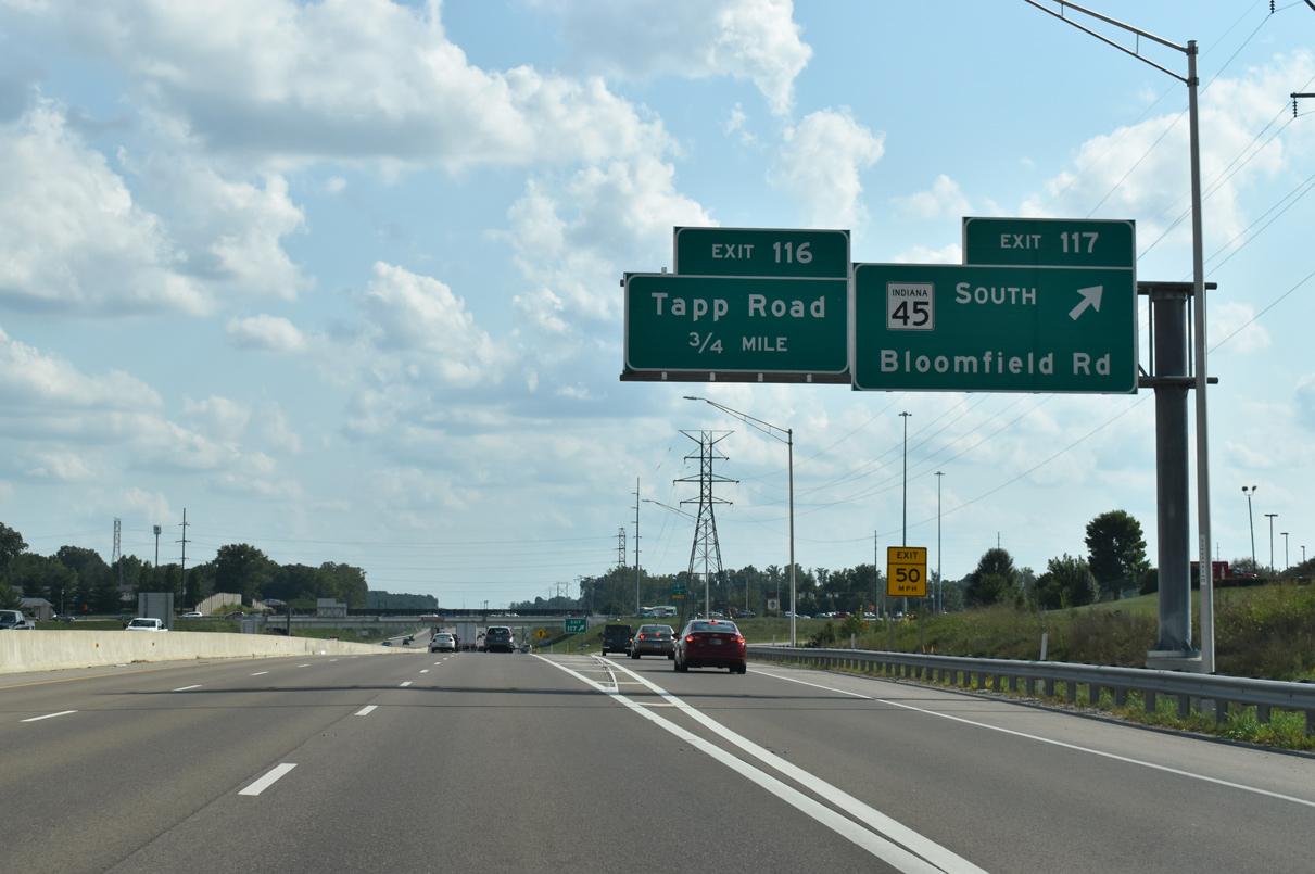
SR 45 travels southwest from I-69/SR 37 to Stanford and Cincinnati. Bloomfield Road continues northeast from I-69 to 2nd Street and Downtown.
09/08/20
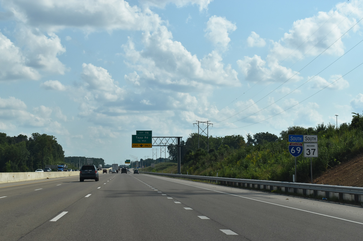
I-69/SR 37 advances south to a dumbbell interchange (Exit 116) with Tapp Road next.
09/08/20
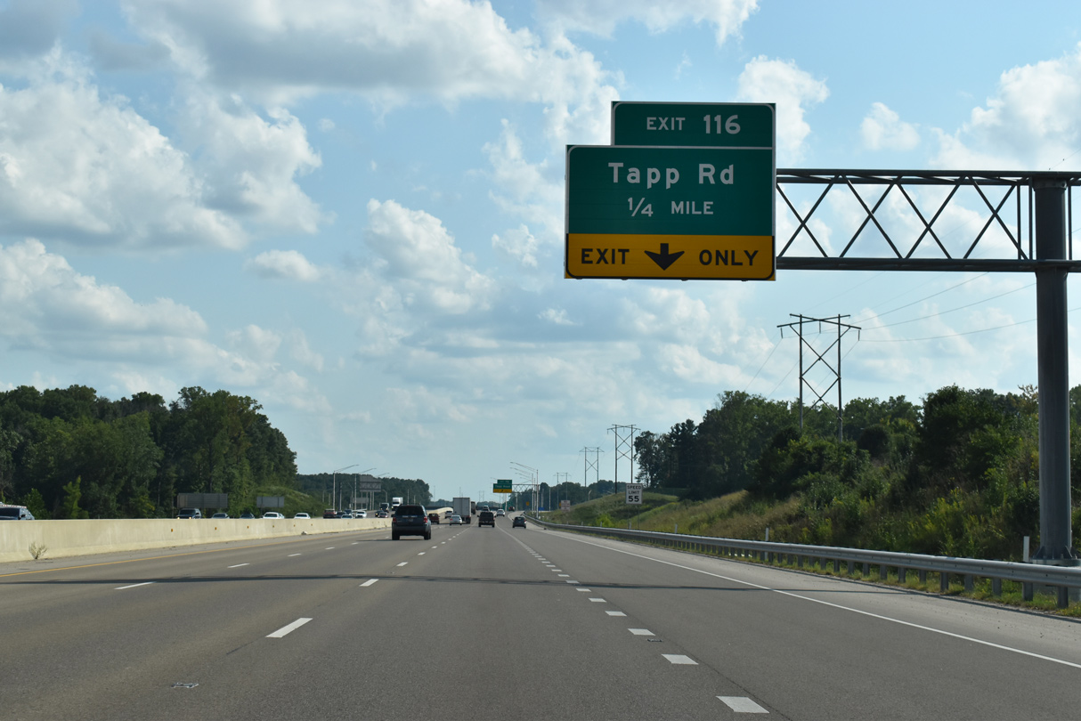
Southbound I-69 gains an auxiliary lane between Exit 117 (SR 45) and Tapp Road (Exit 116).
09/08/20
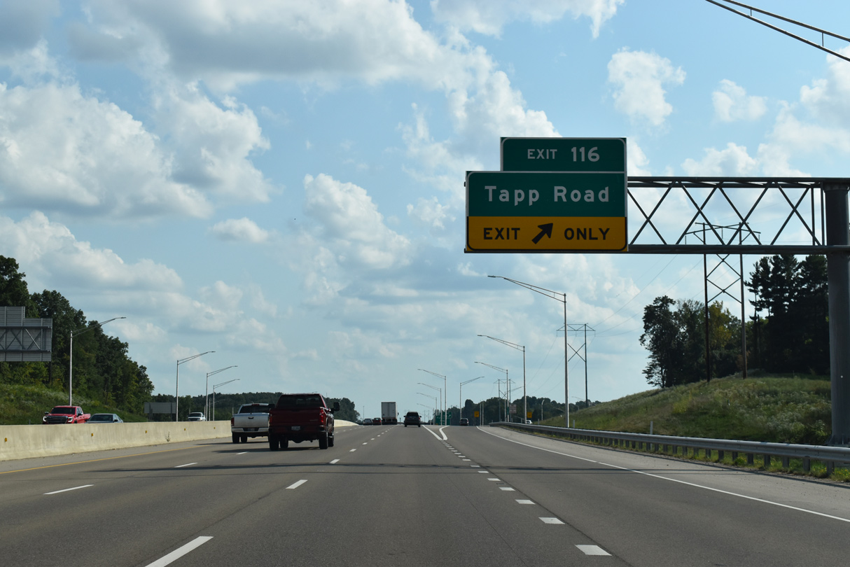
Tapp Road connects Leonard Springs Road with Rockport Road opposite Country Club Drive.
09/08/20
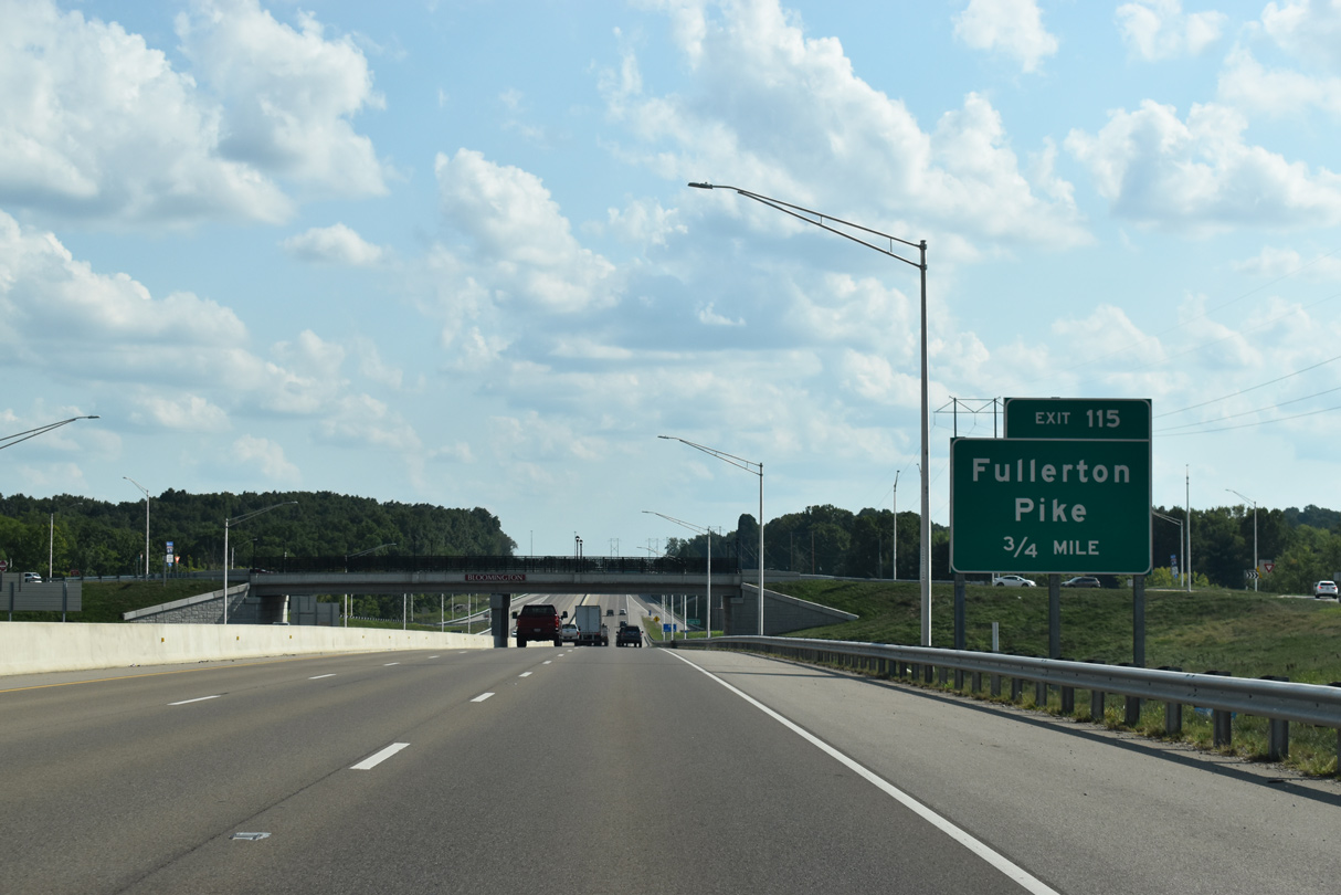
I-69/SR 37 lowers below Tapp Road (Exit 116) on the three quarter mile drive to Fullerton Pike (Exit 115).
09/08/20
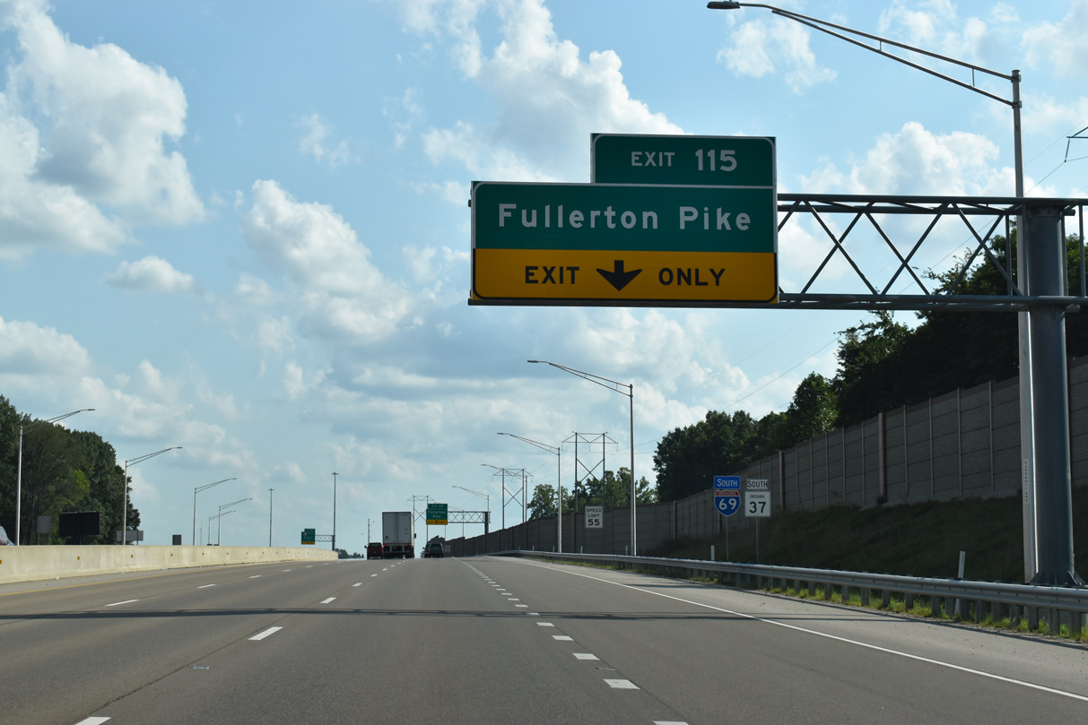
Fullerton Pike connects I-69 with Leonard Springs Road to the west and Rockport Road to the east.
09/08/20
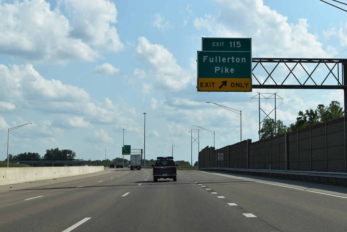
An auxiliary lane gained at Tapp Road (Exit 116) departs for the parclo interchange (Exit 115) with Fullerton Pike. Future plans call for an extension of Fullerton Pike beyond Rockport Road, connecting it with Gordon Pike and Rogers Street.
09/08/20
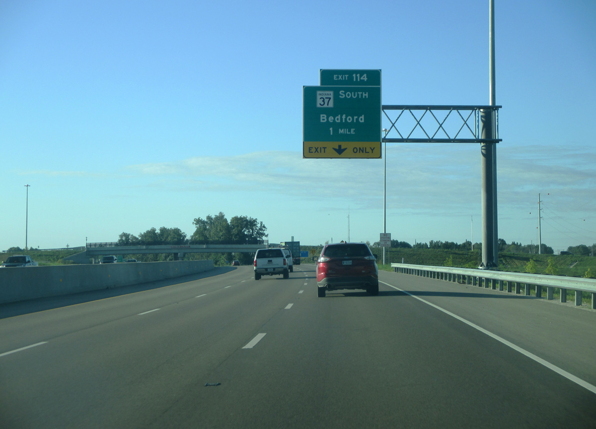
SR 37 leaves I-69 one mile ahead for Bedford and Mitchell.
09/08/20
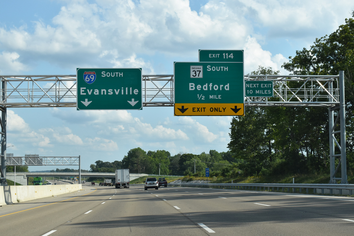
I-69/SR 37 south expands to four travel lanes ahead of the trumpet interchange (Exit 114). The Rockport Road overpass precedes the departure of SR 37 and was the first completed as part of the freeway conversion around Bloomington.
09/08/20
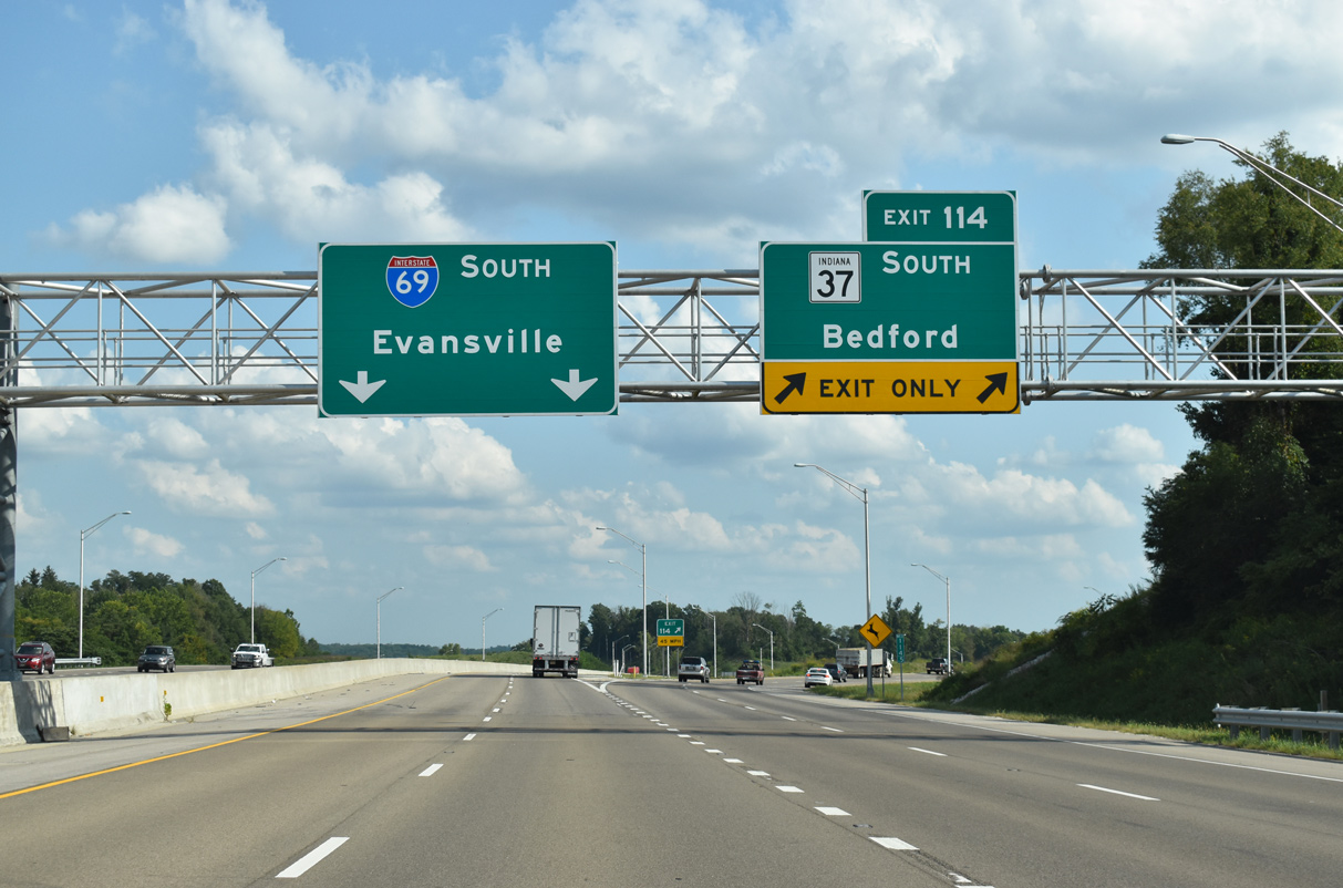
SR 37 advances south from I-69 along a four lane expressway across southern Monroe County 20 miles to Bedford.
Original plans for the exchange included an at-grade intersection and roundabout interchange. Ultimately, a trumpet interchange was selected between the two routes.
09/08/20
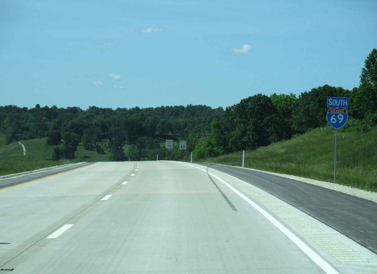
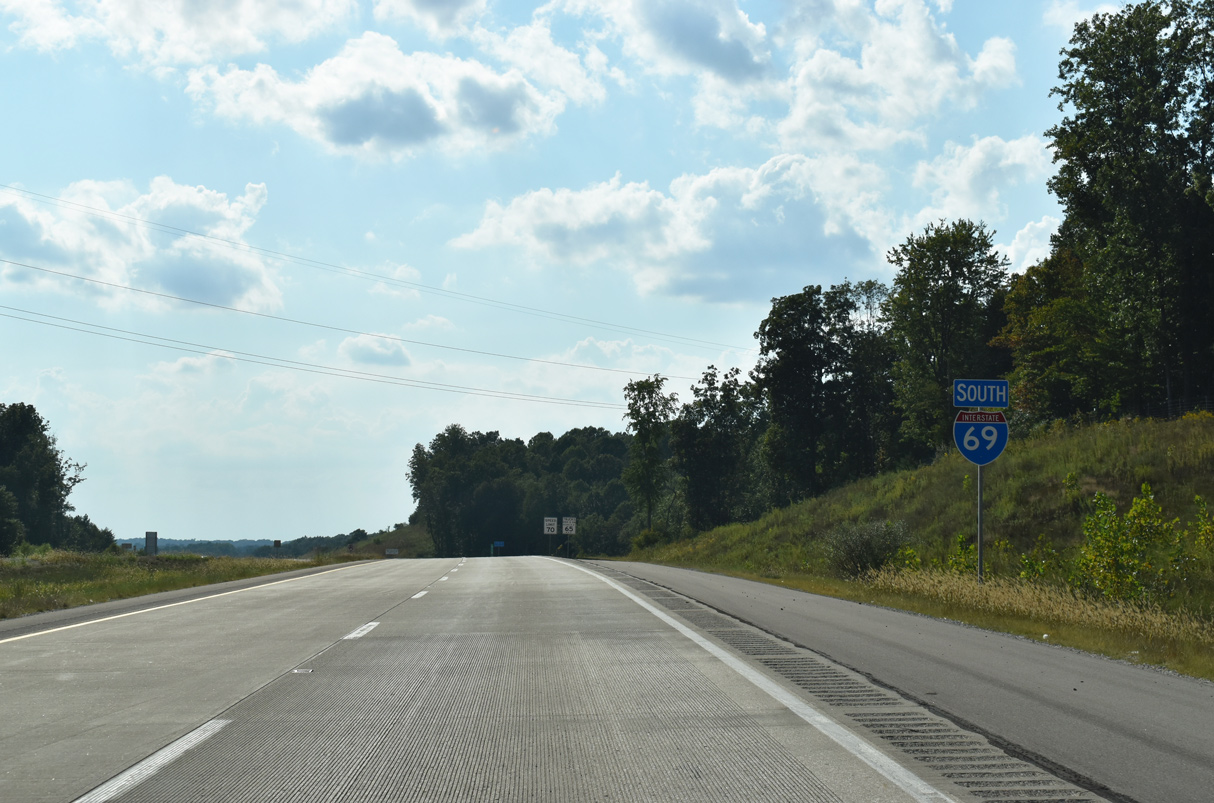
South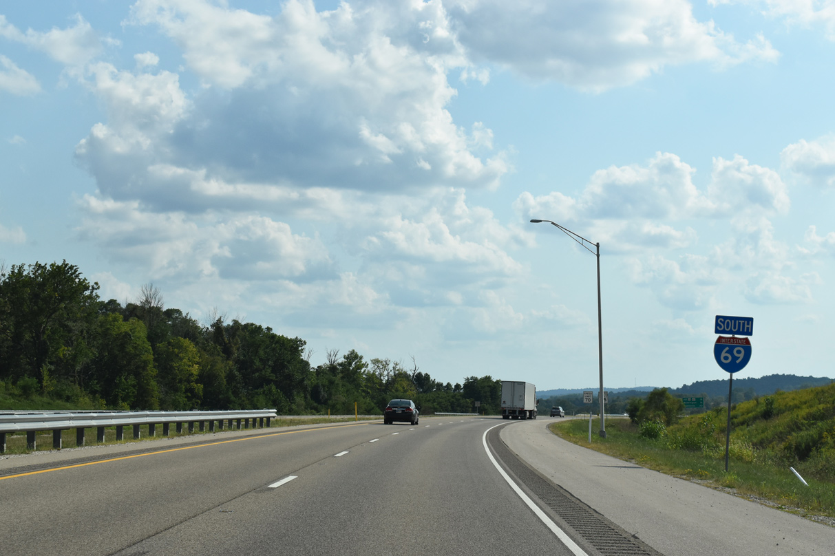
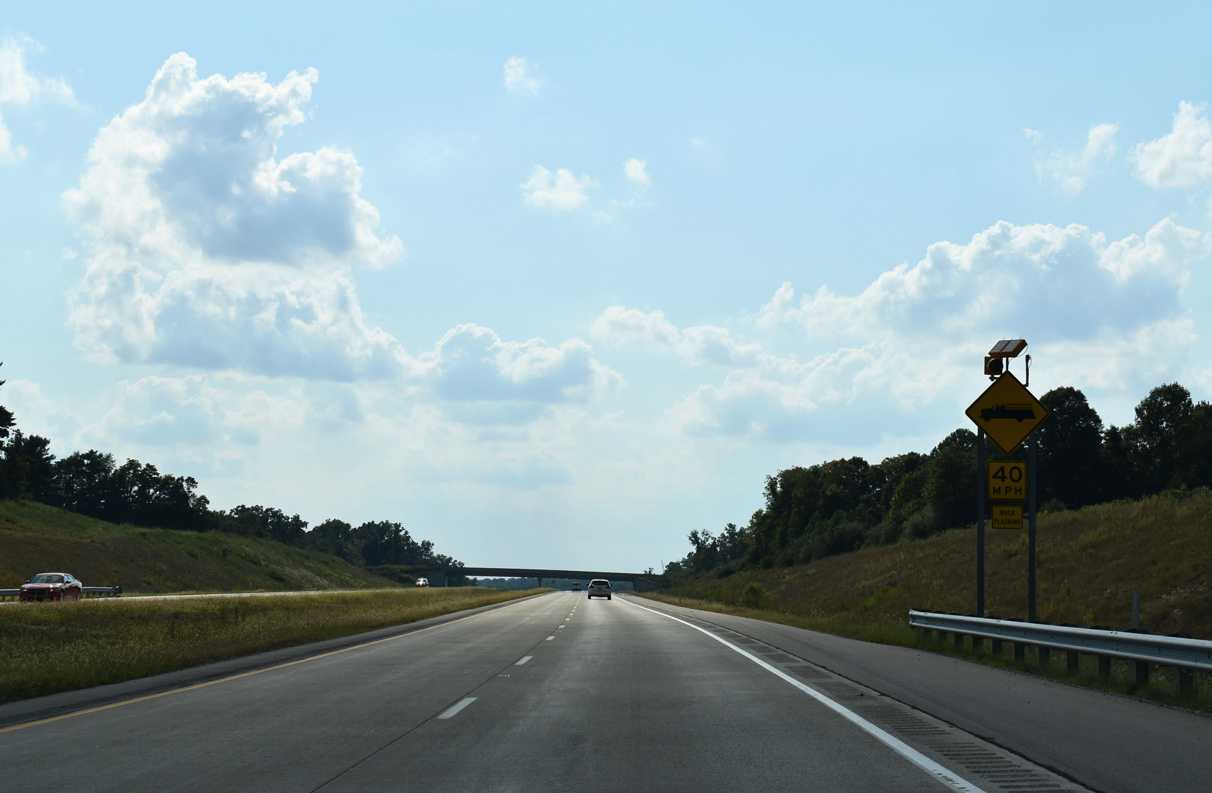
I-69 curves southwest from SR 37 (Exit 114) along a ten mile exit less stretch. Speed limits also increase to 70 mph along this stretch.
09/08/20
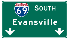
Interstate 69 bypasses Washington on the 113 mile course southwest to Evansville.
09/08/20
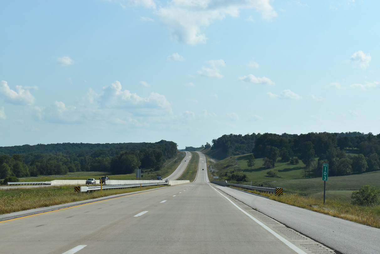
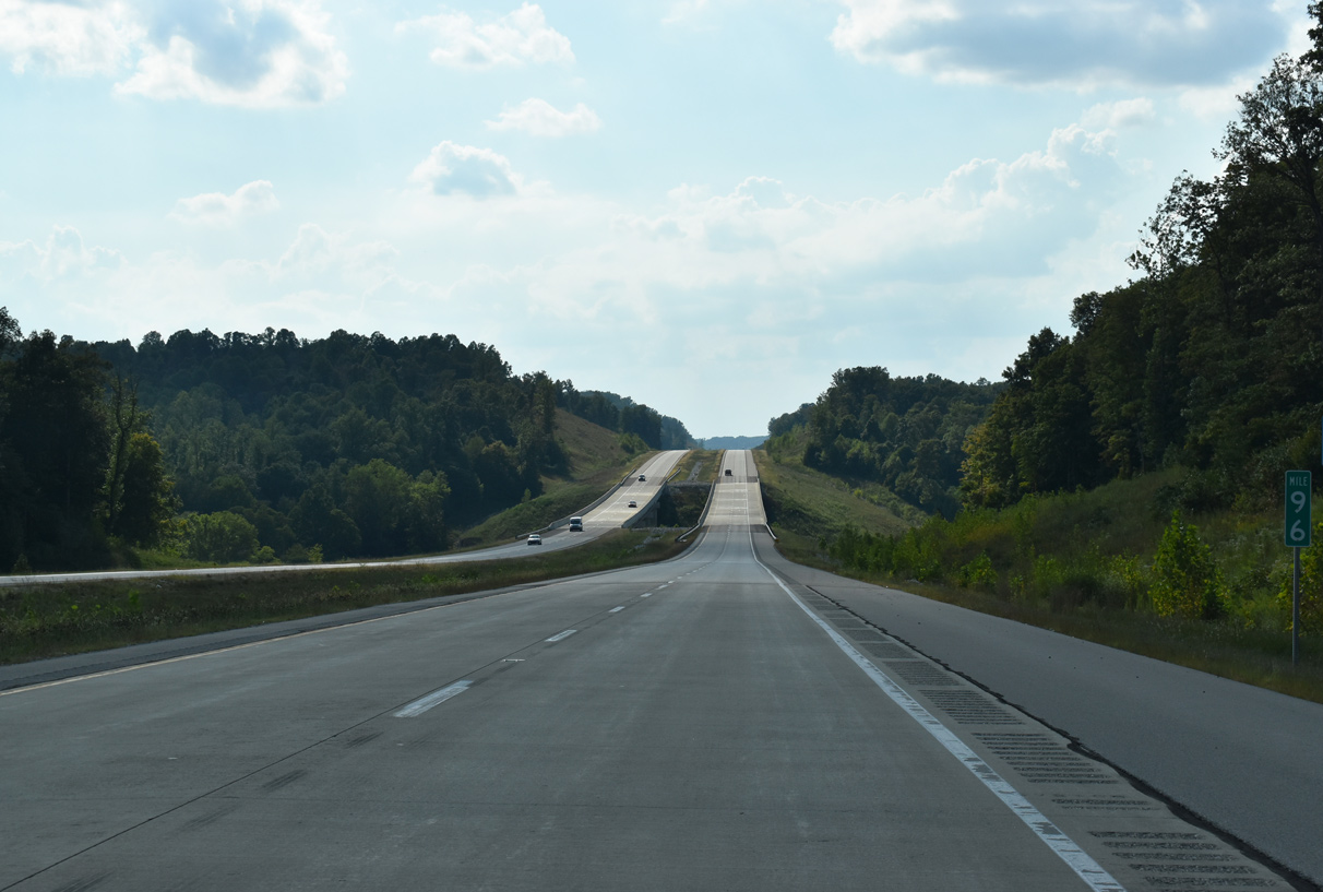
I-69 traverses rolling terrain southwest of SR 37 (Exit 114).
08/28/19
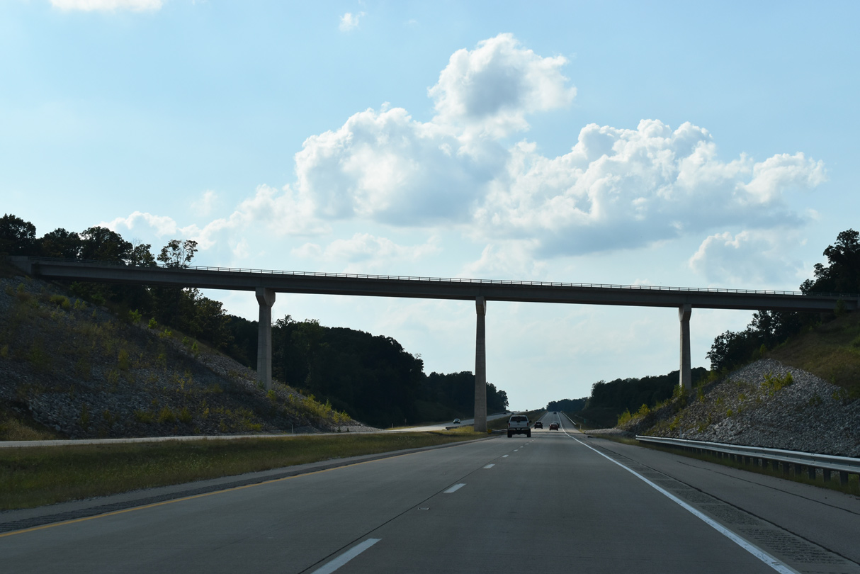
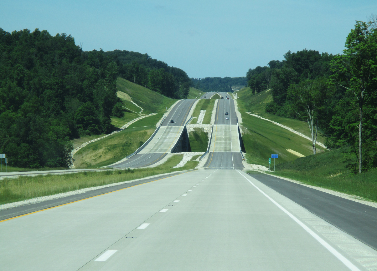
I-69 curves west ahead of the Harmony Road crossing. The Harmony Road overpass was the largest structure built during freeway construction, with the tallest of the three piers rising over 90 feet.1
09/08/20
Burch Road spans Interstate 69 ahead of the southward turn along the Monroe County line.
09/08/20
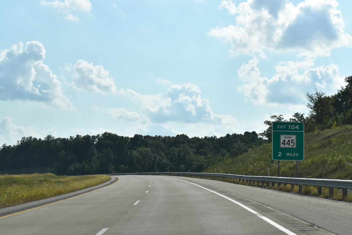
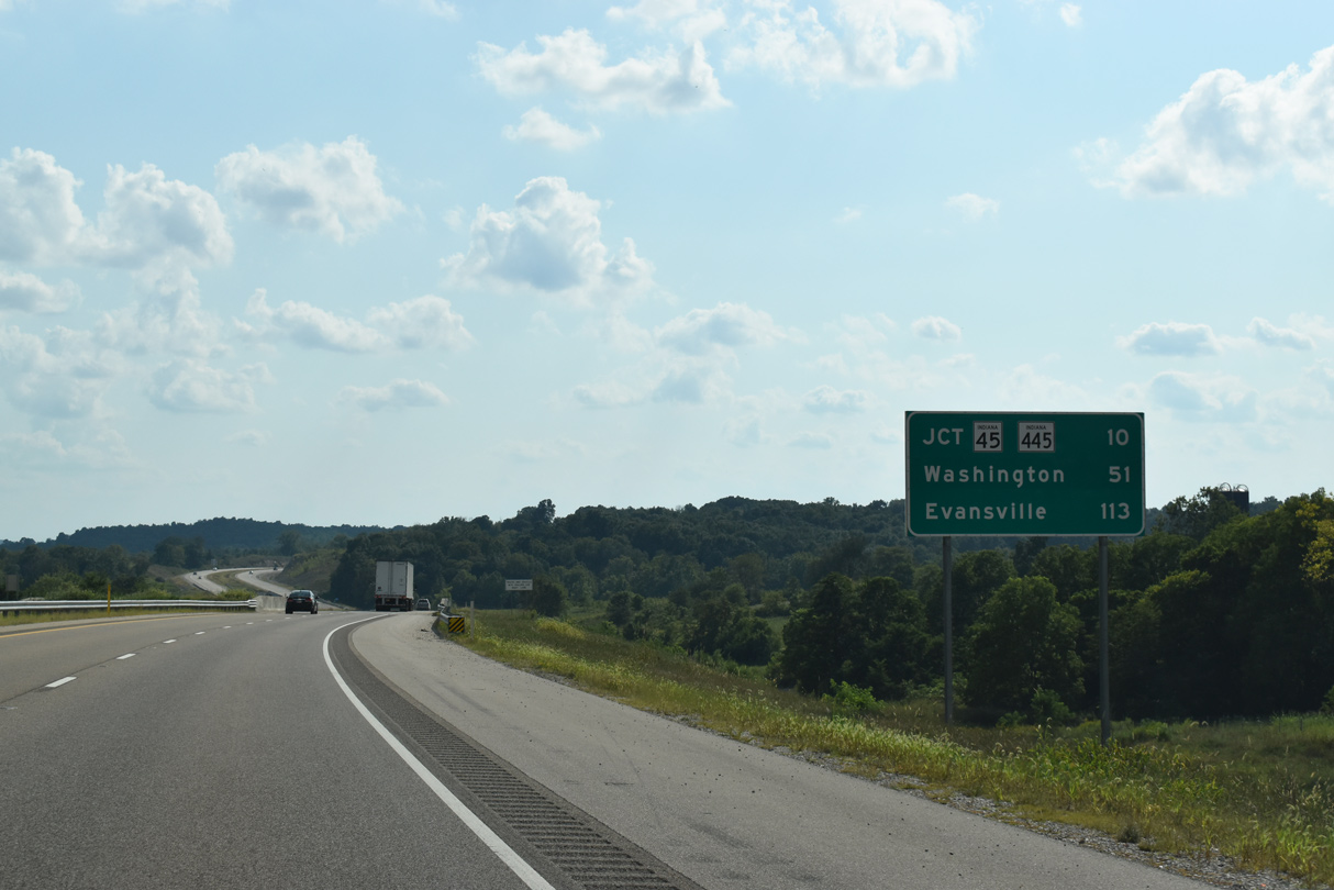
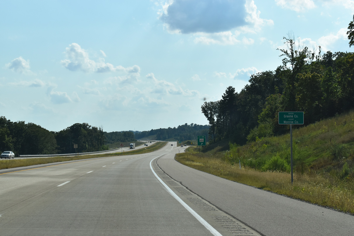
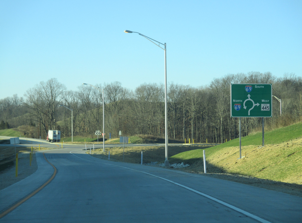
Two miles out from the dogbone interchange (Exit 104) with SR 445.
09/08/20
SR 445 serves as a connection to SR 45 and SR 54 to Ridgeport.
09/08/20
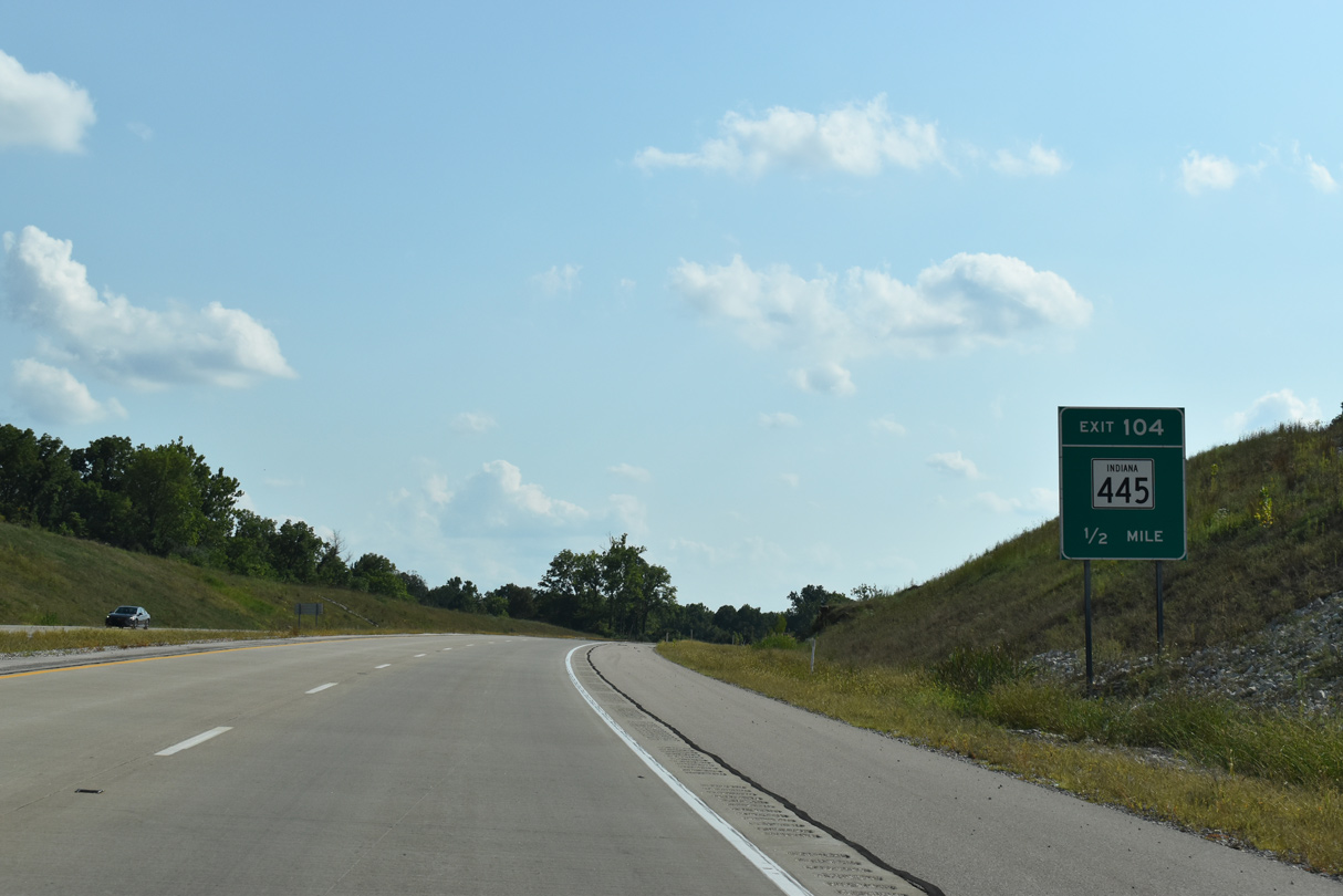
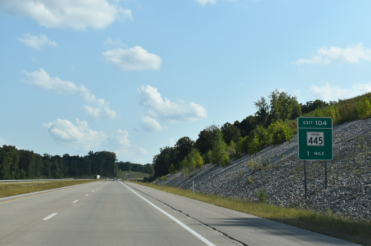
I-69 curves southwest into Greene County ahead of Exit 104.
09/08/20
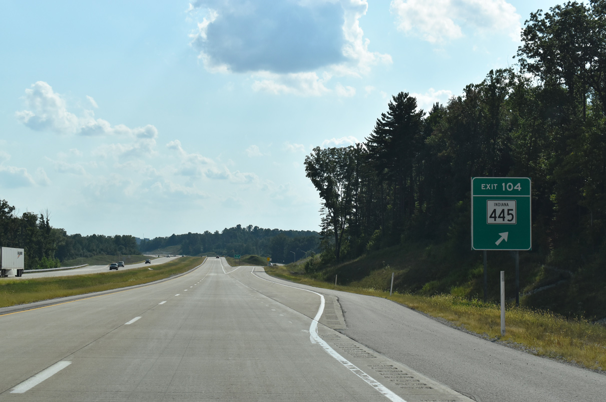
SR 445 advances 1.5 miles west from I-69 to SR 45 and concludes in 2.9 miles at SR 54.
09/08/20
01/02/16
This confirming marker beyond Exit 104 was missing by summer 2018.
05/30/16
The freeway spans Carmichael Road and Indian Creek on its course east of Cincinnati and Hobbieville.
09/08/20
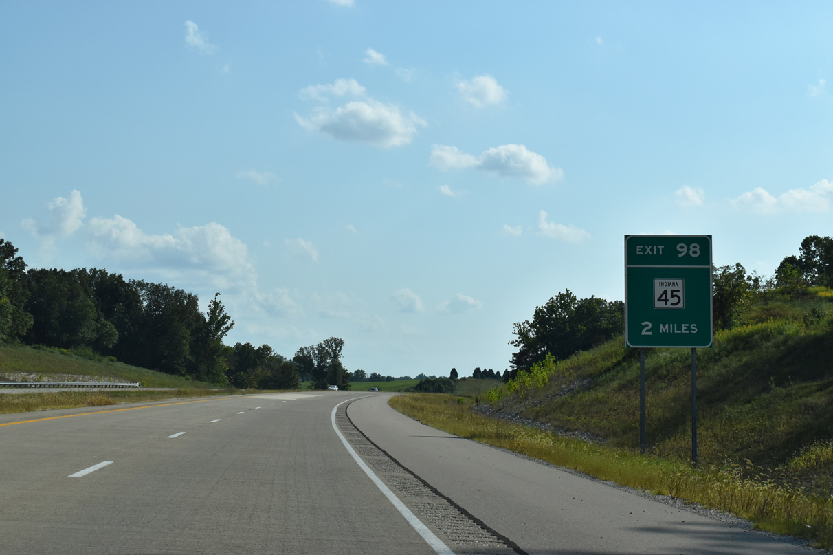
I-69 south passes under Hobbieville Road two miles out from a diamond interchange (Exit 98) with SR 45.
09/08/20
I-69 spans SR 54 ahead of Exit 98. SR 54 is the first of three state roads to cross I-69 with no direct access on its southwest leg to Evansville.
05/30/16
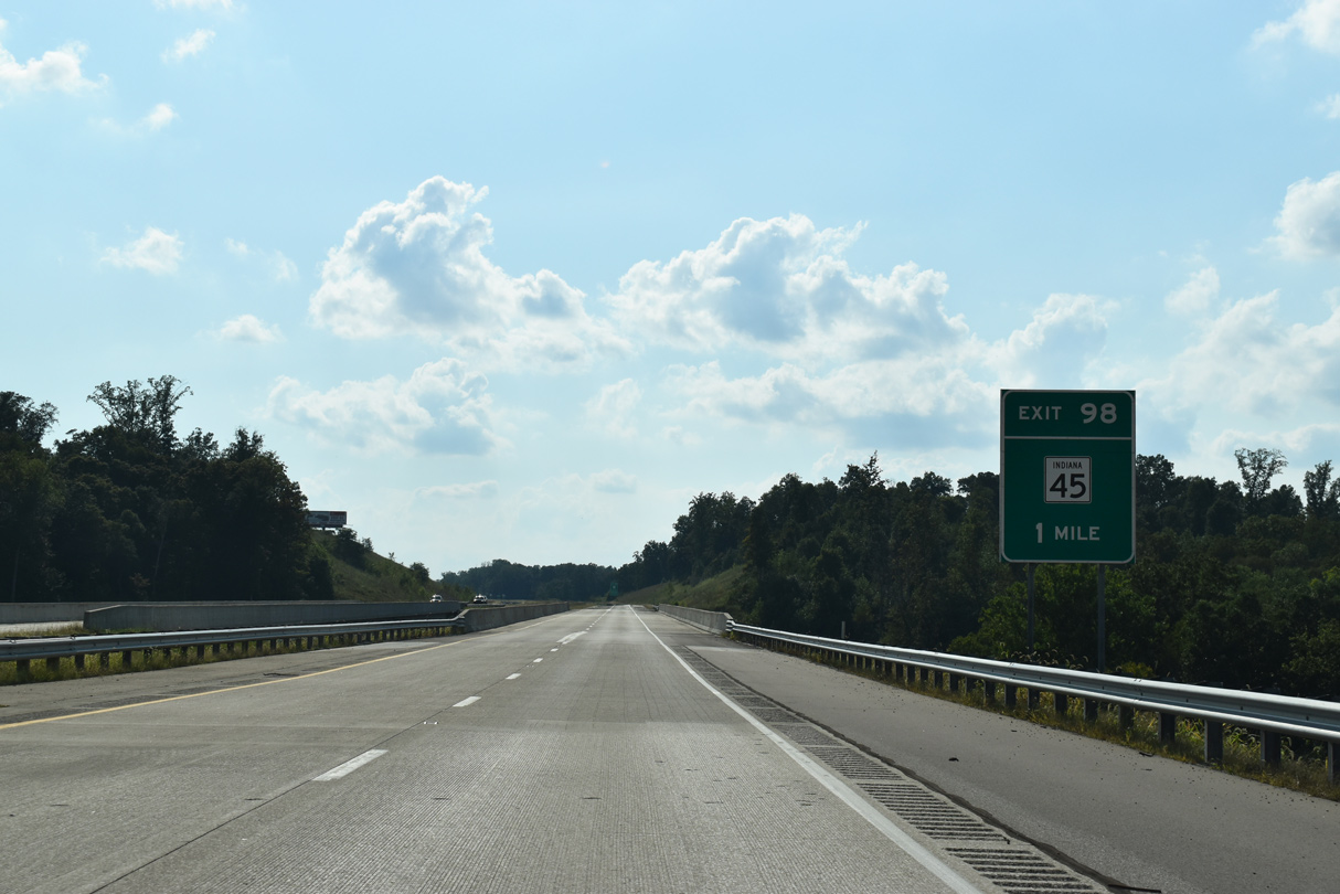
One mile out from SR 45 (Exit 98), Interstate 69 crosses Mitchell Branch. SR 45 travles 56 miles northeast between U.S. 231 near Scotland and SR 135 at Beanblossom in Brown County.
09/08/20
SR 45 served as a temporary connection for I-69 traffic prior to the opening of the freeway between U.S. 231 (Exit 87) 11 miles ahead and SR 37. Section 4 opened December 15, 2015.
09/08/20

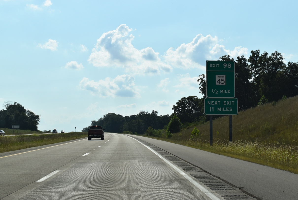
SR 45 travels 4.2 miles south to SR 58 opposite an entrance gate to the Crane Naval Support Activity complex.
09/08/20
Interstate 69 advances from SR 45 (Exit 98) along a westerly course to U.S. 231 (Exit 87) next.
09/08/20
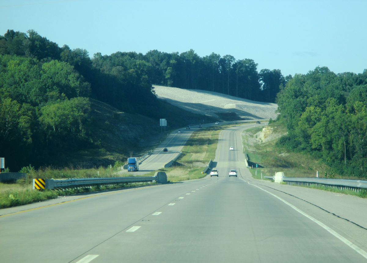
I-69 travels through a geographic area known as the Crawford Upland on the ensuing stretch to U.S. 231. This upland consists of a series of hills that features karst topography.
Due to the nature of the Crawford Upland, construction of I-69 through this area took a period of three years to complete.
09/08/20
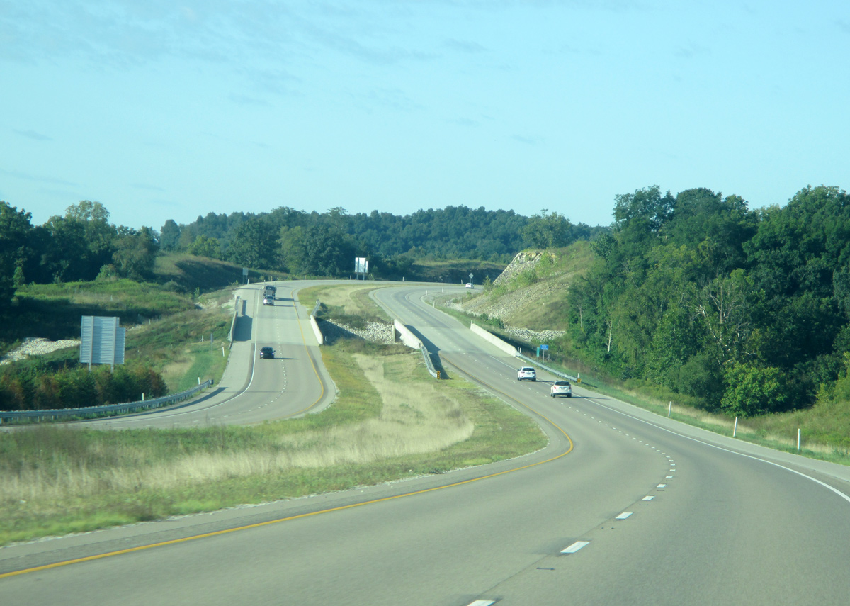
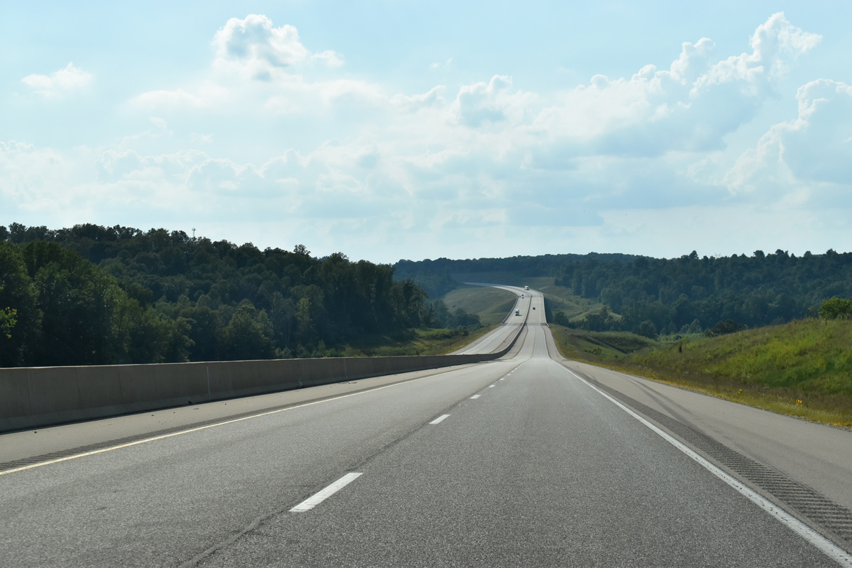
A more scenic stretch ensues as the freeway spans Plummer Creek and Mineral-Koleen Road.
05/30/16
I-69 lowers and narrows ahead of the crossing over Black Ankle Creek and County Road 600 East.
09/08/20

Interstate 69 angles southwest as it leaves the Crawford Upland for the Wabash Lowland. The Wabash Lowland topography encompasses the western half of Greene County and the remaining portion of I-69 across southern Indiana.
09/08/20
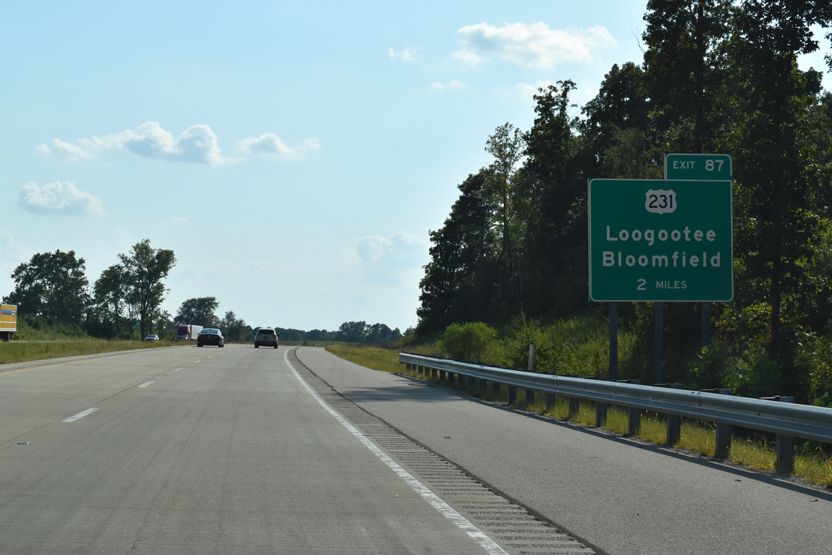
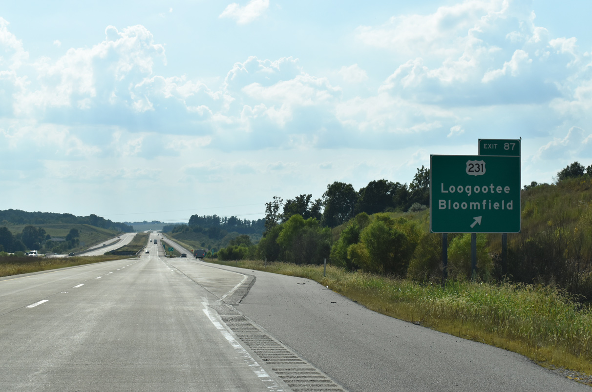
U.S. 231 joins I-69 at a diamond interchange (Exit 87) north of Crane two miles ahead.
09/08/20

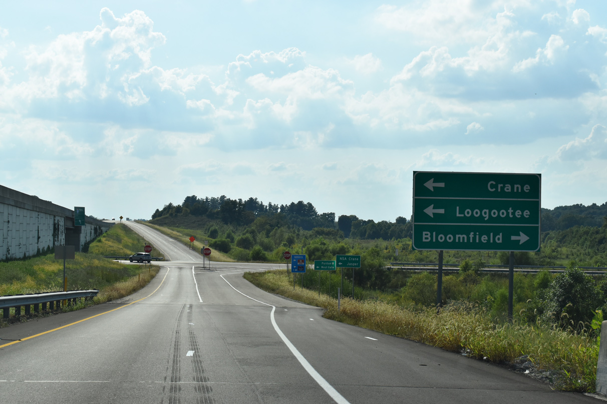
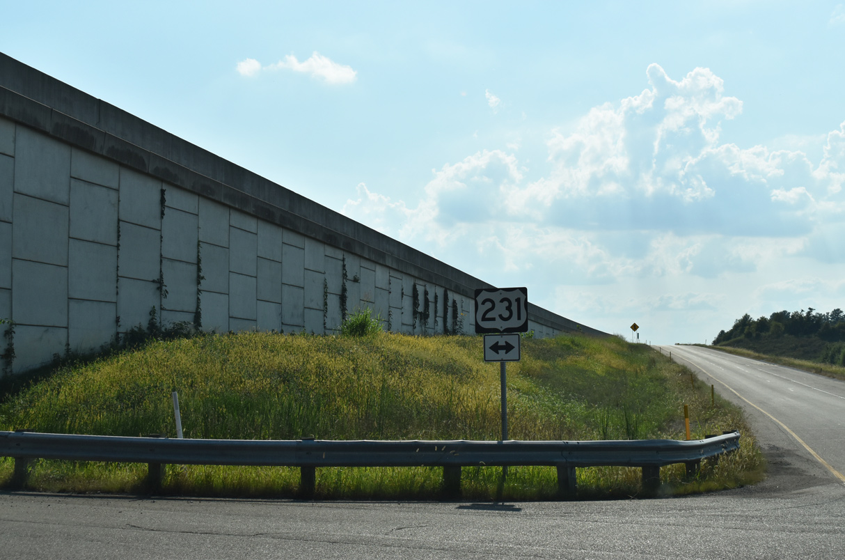
U.S. 231 connects Interstate 69 with Bloomfield to the north and Loogootee to the south.
09/08/20
Totaling 297 miles in Indiana, U.S. 231 enters from the south via the William Natcher Bridge near Rockport, traveling to Huntingburg and Loogootee. North of I-69, U.S. 231 proceeds to Bloomfield, Crawfordsville, and Lafayette before ending at U.S. 41 in St. John.
09/08/20
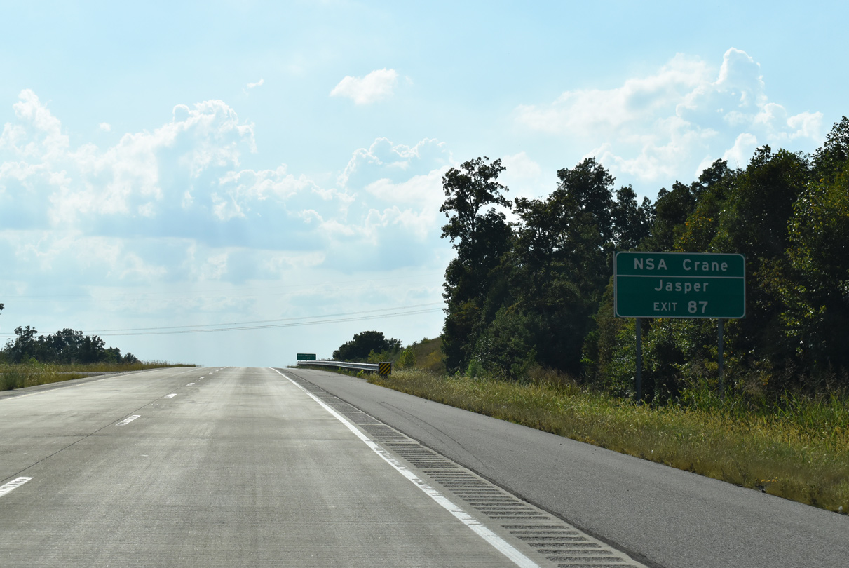
Exit 87 connects I-69 to the Naval Support Activity Center at Crane. The naval center covers over 20,000 acres and serves as a primary employment center in this part of Indiana.
09/08/20
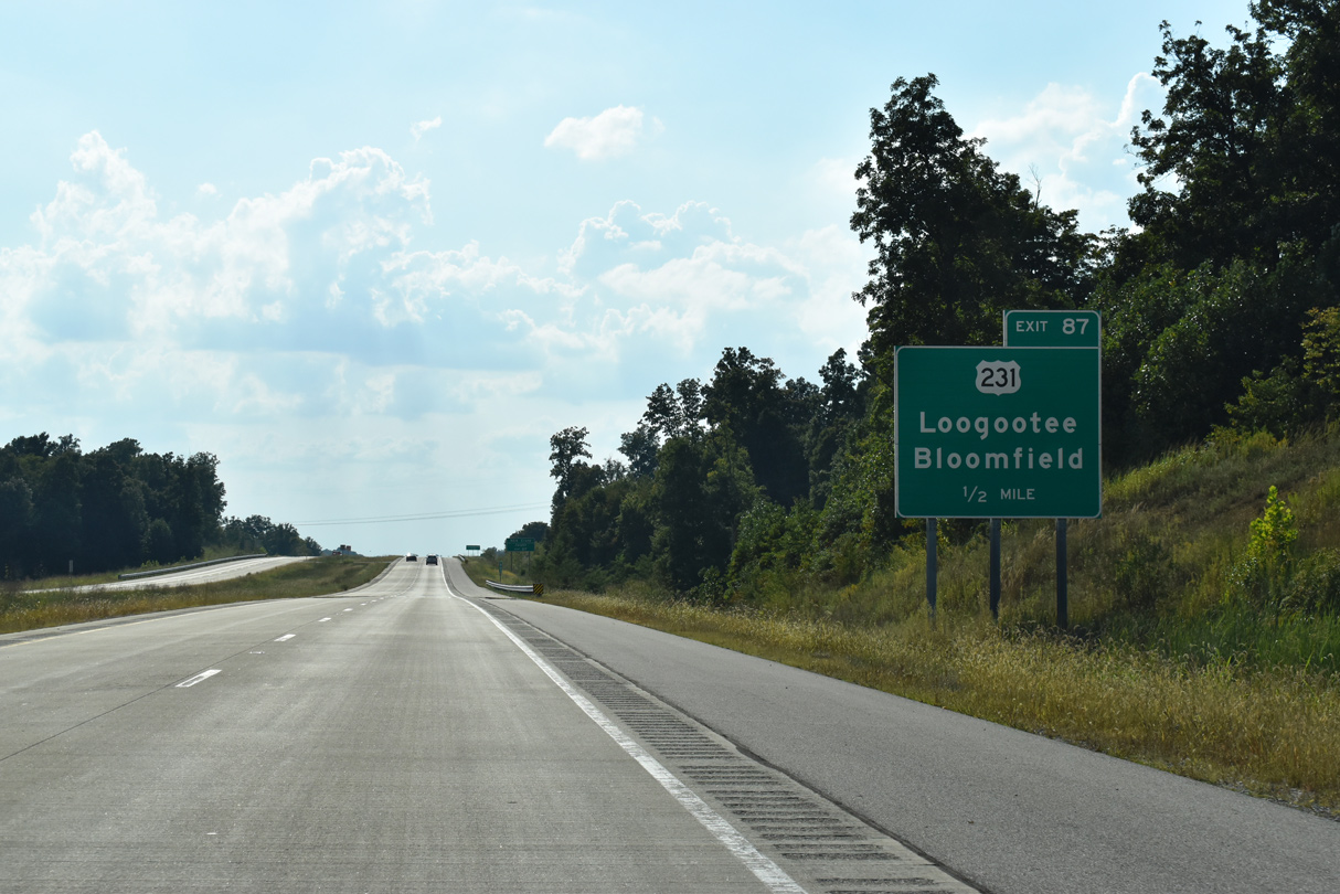
The freeway crosses Doans Creek as a ramp leaves for Exit 87 (U.S. 231).
09/08/20
Bloomfield is located 7.7 miles to the north as Loogootee lies 16.9 miles to the south of Exit 87. SR 558 joins U.S. 231 with NSA Crane 2.5 miles south of I-69.
09/08/20

References:
- I-69 New Highway Alignment and Structures project page, E.S.Wagner Company (www.eswagner.com).
Photo Credits:
- ABRoads: 09/08/20
- Thomas Decker: 01/02/16, 05/30/16, 08/28/19
Connect with:
Page Updated Friday May 08, 2020.