
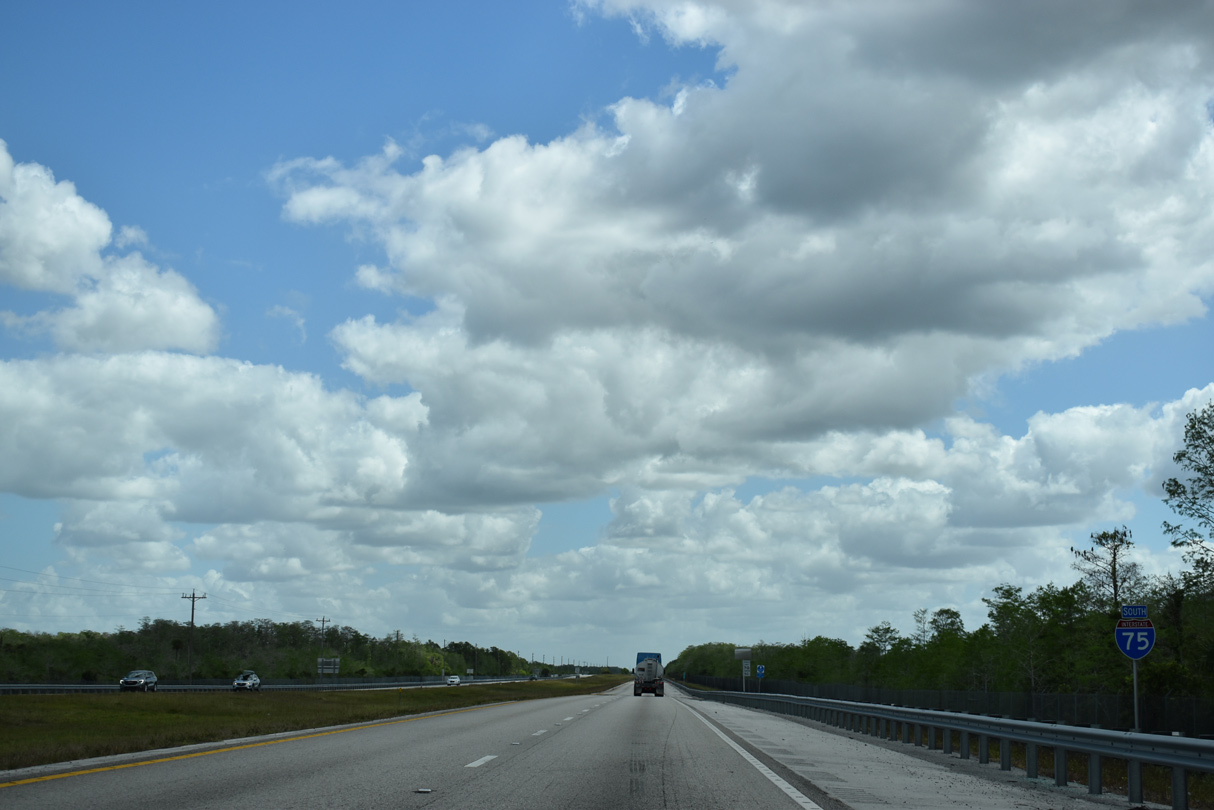
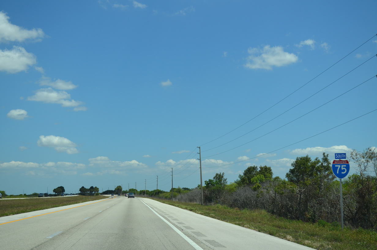
Interstate 75 South - Alligator Alley
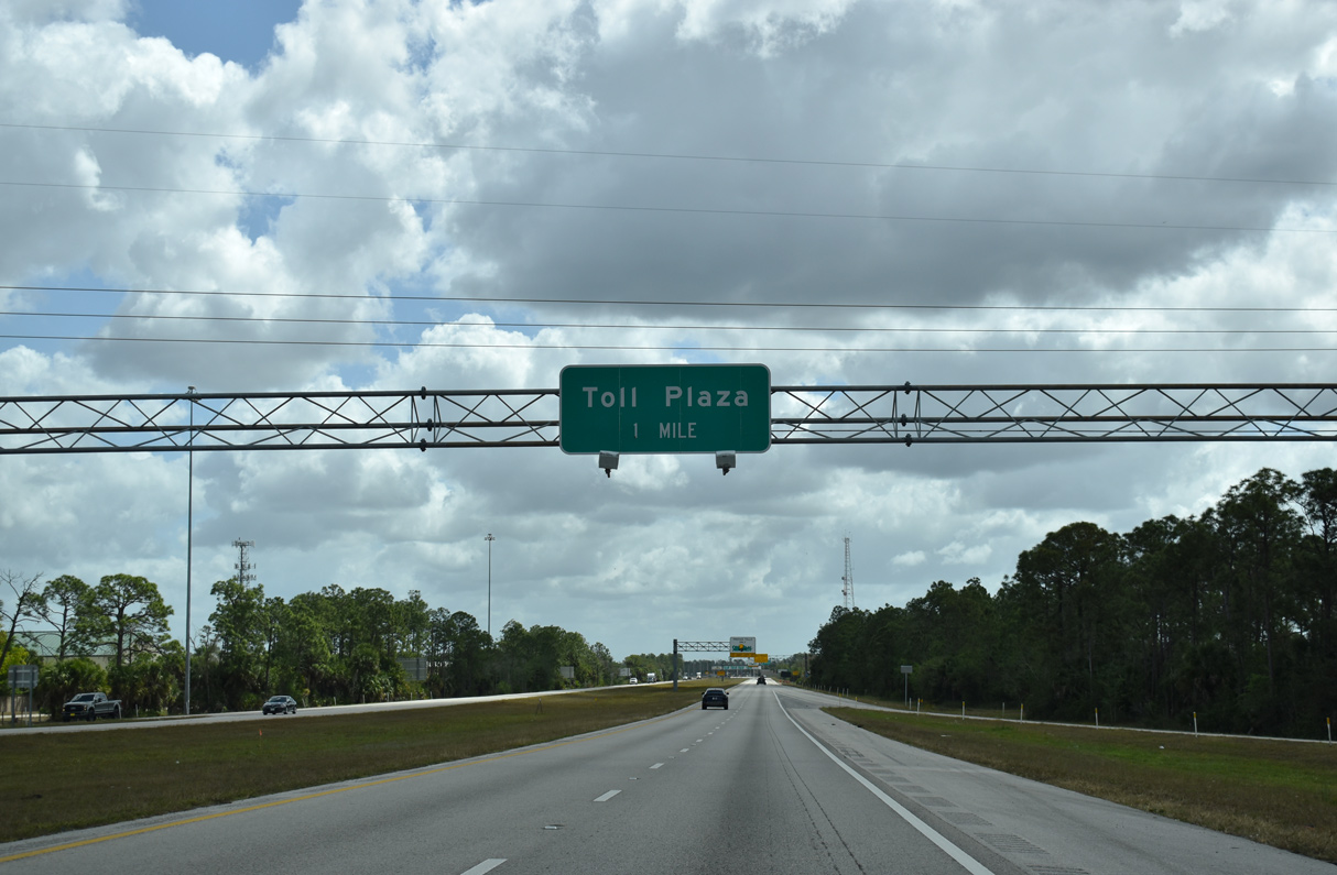
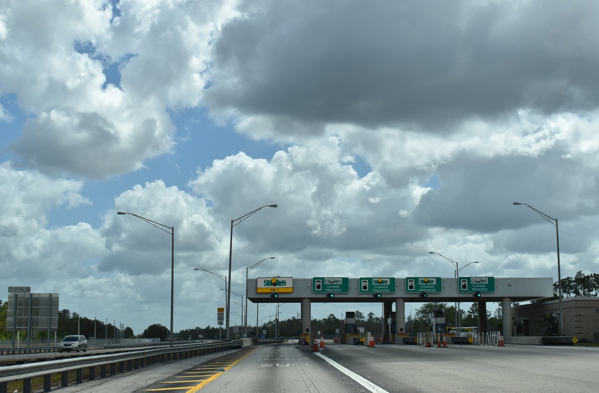
Interstate 75 approaches the toll plaza entrance to Alligator Alley after Exit 101.
03/21/20
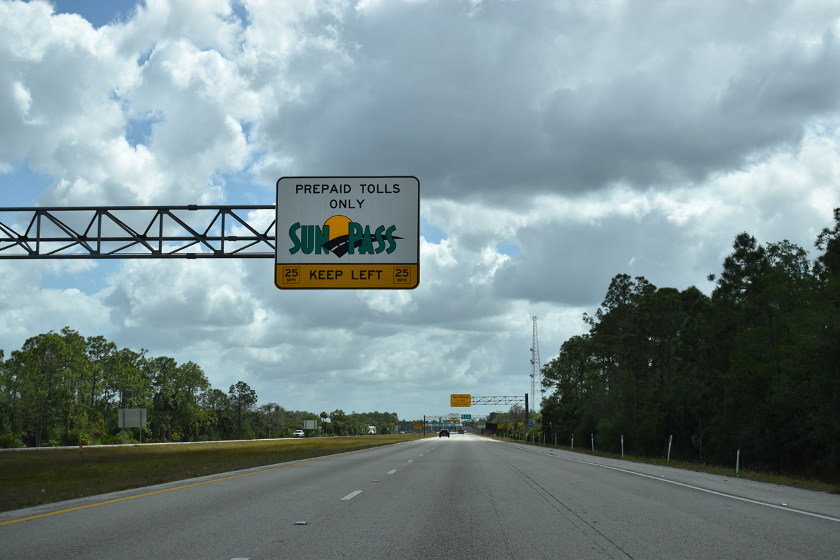
A dedicated lane is reserved for motorists with a Sunpass transponder. Alligator Alley is one of two Interstates in Florida where all lanes are tolled. The other is I-275 over the Sunshine Skyway Bridge near St. Petersburg.
03/21/20
I-75 overtakes the original route of SR 84 (Beck Boulevard) just beyond the forthcoming toll plaza.
03/21/20
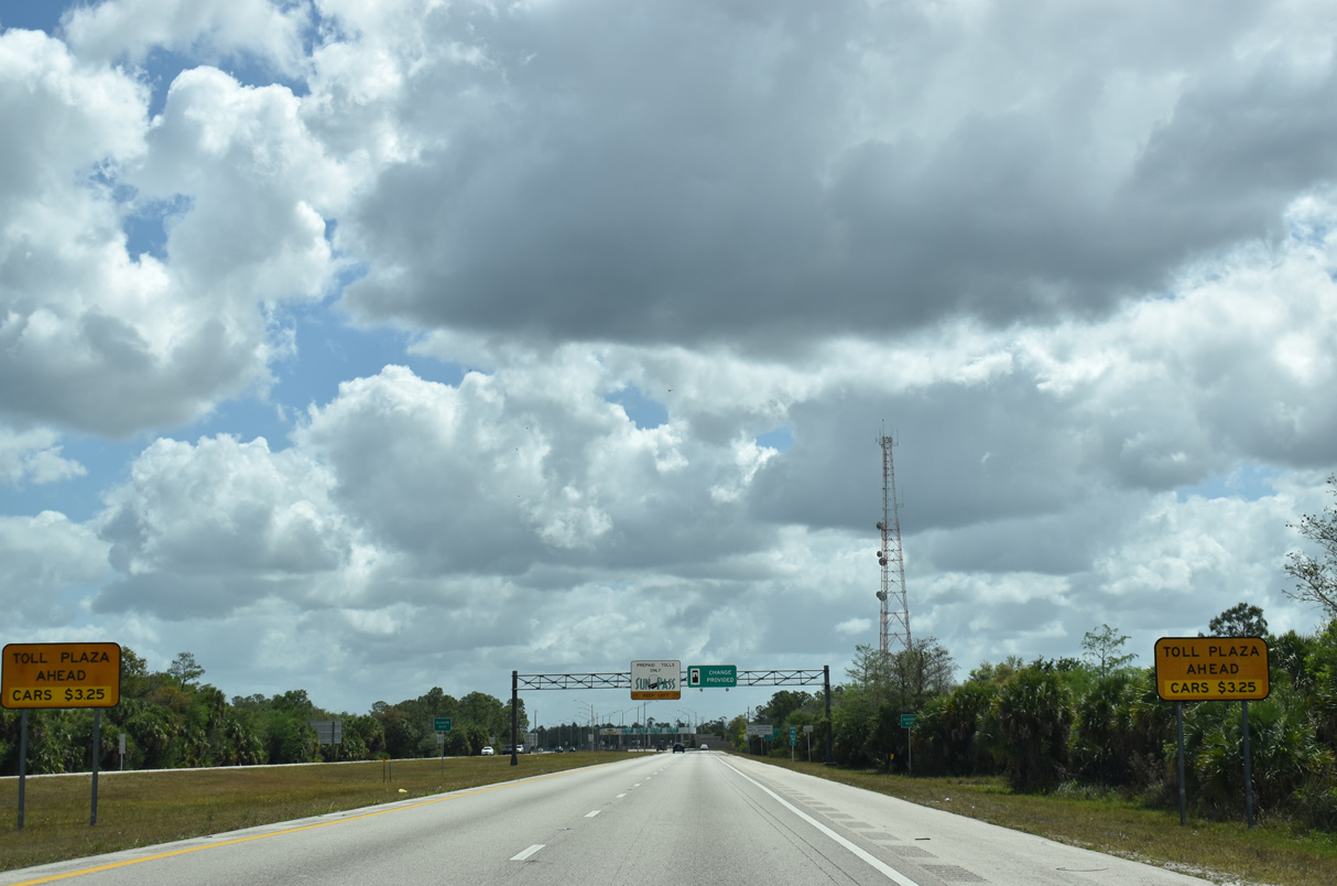
The 2-axle toll rate for vehicles to cross the Alley increased to $3.00 for cash transactions and $2.75 for Sunpass transponders on June 30, 2012. Additional pricing is applied for additional axles.
03/21/20
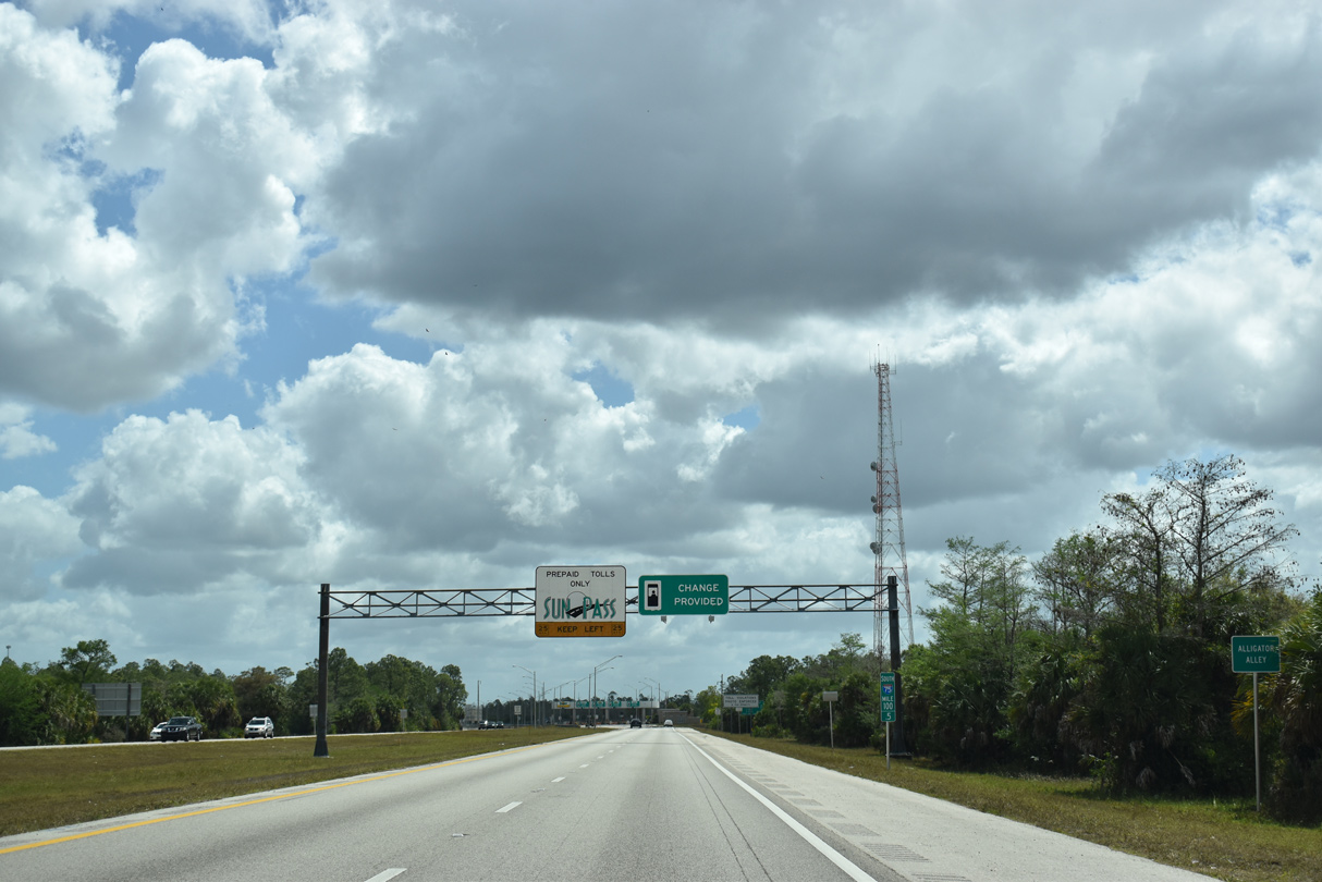
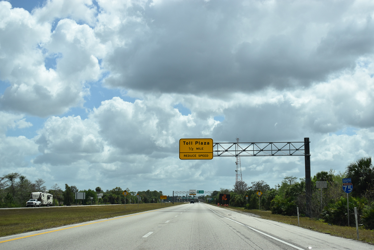
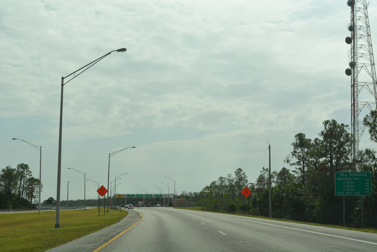
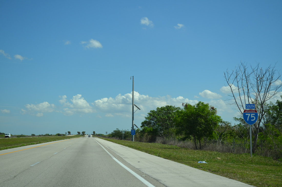
Signage preceding the toll booths proclaim Interstate 75 as Alligator Alley, the popular name given to Everglades Parkway.
03/21/20
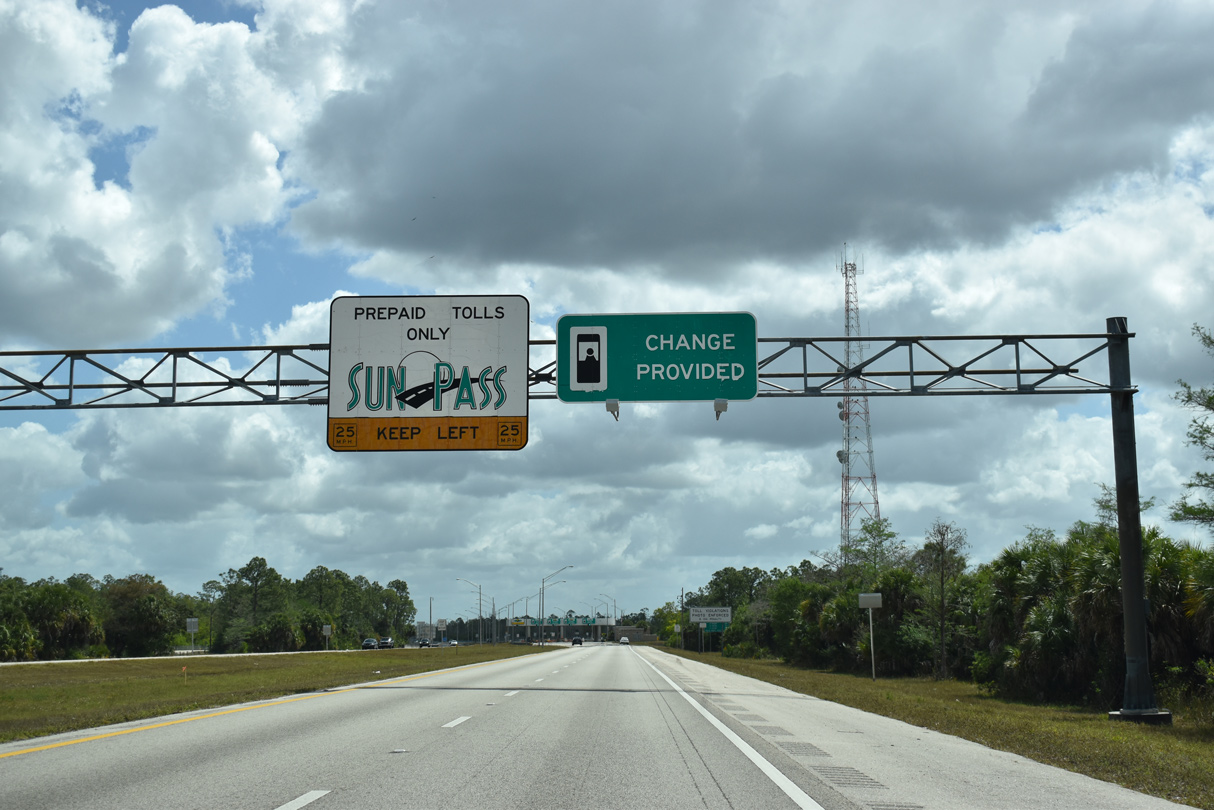
Open road tolling is not available for Interstate 75 travelers at the Everglades Parkway west toll gate. Instead and similar to the Sunshine Skyway plazas, motorists must slow down to 25 miles per hour through a converted toll booth lane.
03/21/20
09/30/17
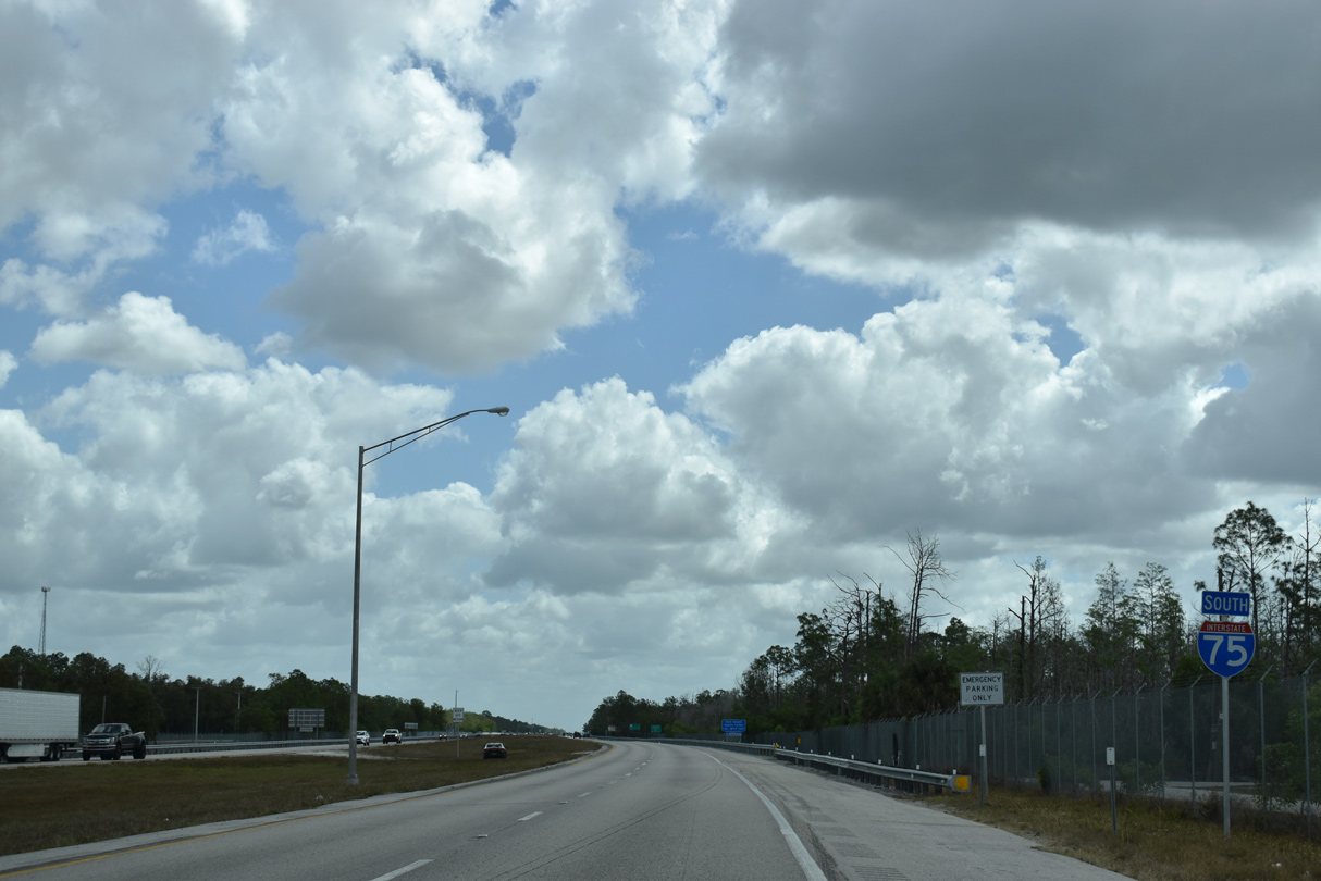
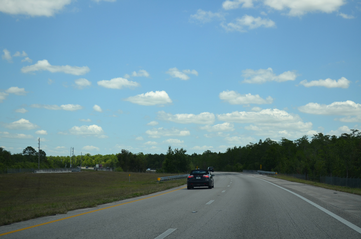
Leaving the toll plaza, Interstate 75 south begins the long trek across the southern peninsula of Florida.
03/21/20
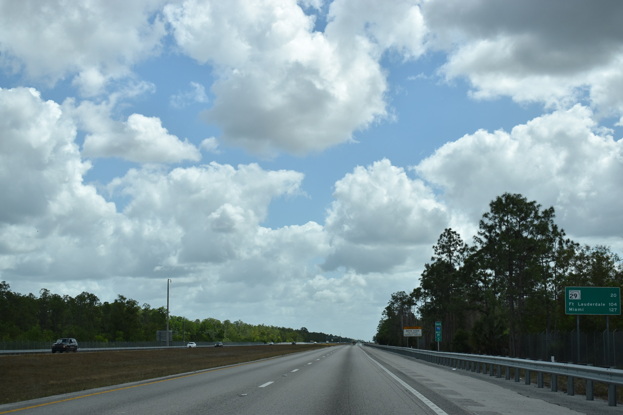
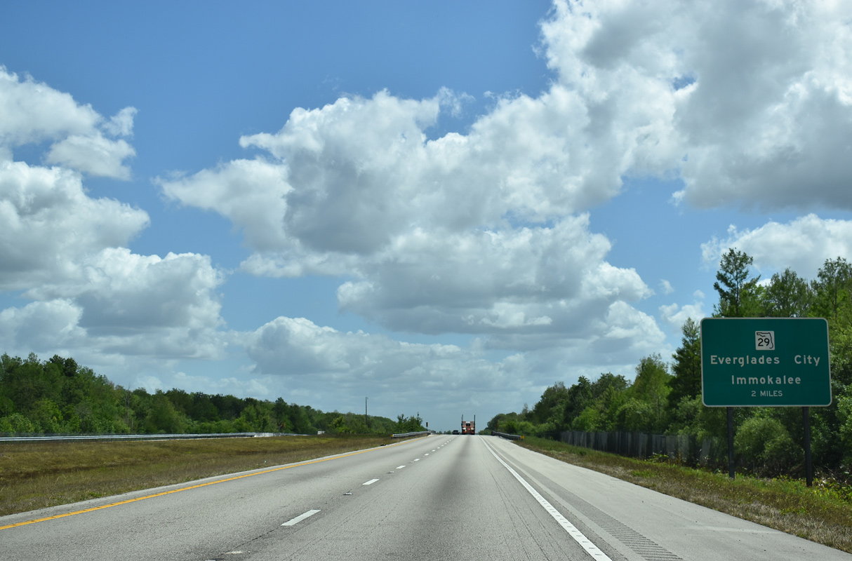
There are just two interchanges along the way to the Fort Lauderdale and Miami via Everglades Parkway. The first is with SR 29 in 20 miles.
03/21/20
Miller Canal is the first of many waterways Interstate 75 crosses through the Everglades.
12/23/13
The lone overpass between CR 951 (Exit 101) and SR 29 (Exit 80), Everglades Boulevard spans I-75 between mile marker 93 and 92. The local road begins at CR 846 (Immokalee Road) 14.7 miles north of Everglades Parkway. A study was previously conducted to build an interchange here.
12/23/13
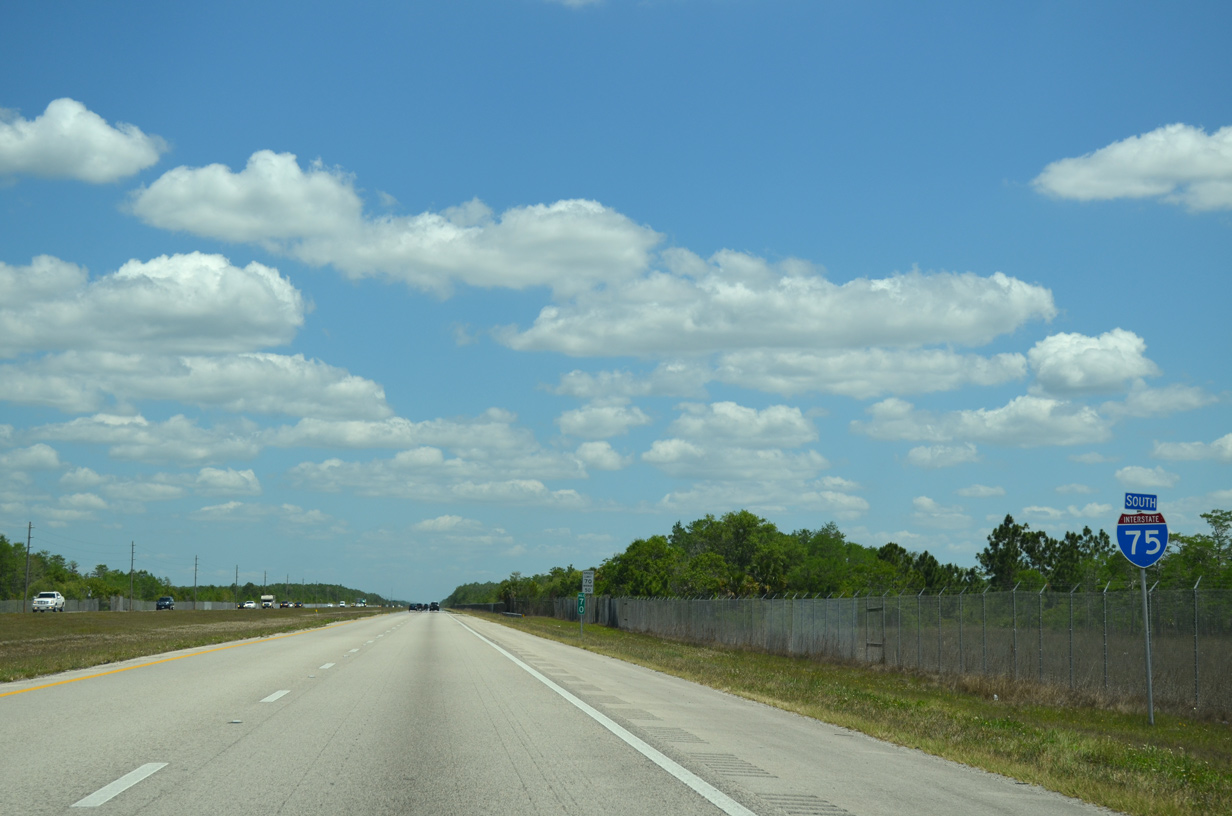
Interstate 75 (Alligator Alley) runs between Fakahatchee Strand Preserve State Park and Florida Panther National Wildlife Refuge east to SR 29 at Miles City.
12/23/13
03/21/20
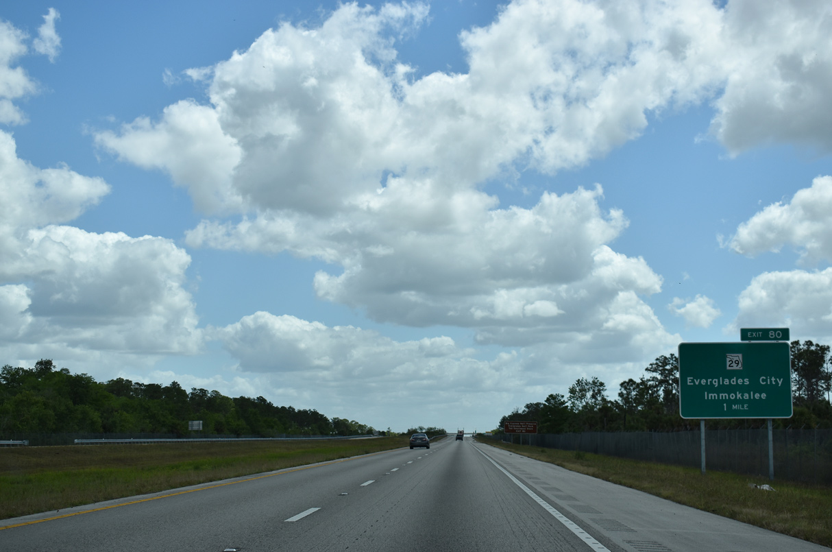
Interstate 75 converges with SR 29 (Exit 80) after nearly a 21 mile long exit-less stretch.
03/21/20
Immokalee lies 20.4 miles north of I-75 along SR 29 in northeast Collier County. Heading south, SR 29 leads 17 miles to U.S. 41 at Carnestown. Everglades City lies 4.01 miles further south via CR 29.
03/21/20
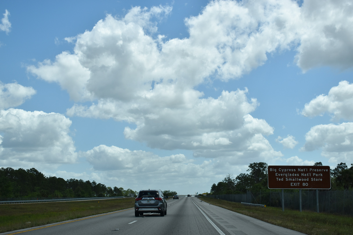
Exit 80 provides access to the vast areas of Florida Panther National Wildlife Refuge, Fakahatchee Strand Preserve State Park and Big Cypress National Preserve. CR 29 south extends the route to Everglades City, Chokoloskee, home of the historic Ted Smallwood Store, and western reaches of Everglades National Park.
03/21/20
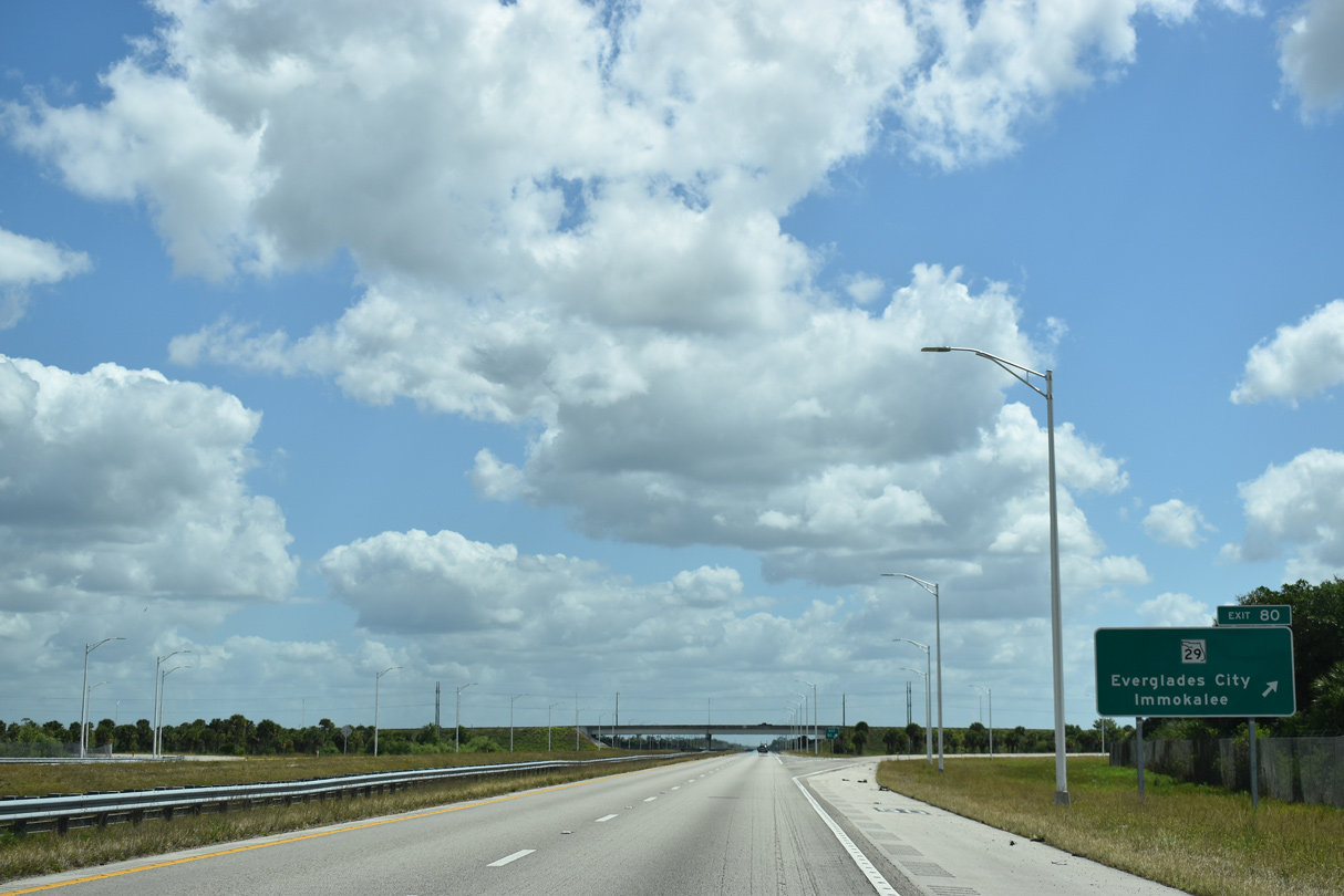
State Road 29 travels 58.4 miles north from the diamond interchange at Exit 80 to U.S. 27 south of Palmdale in Glades County via Immokalee and La Belle.
03/21/20
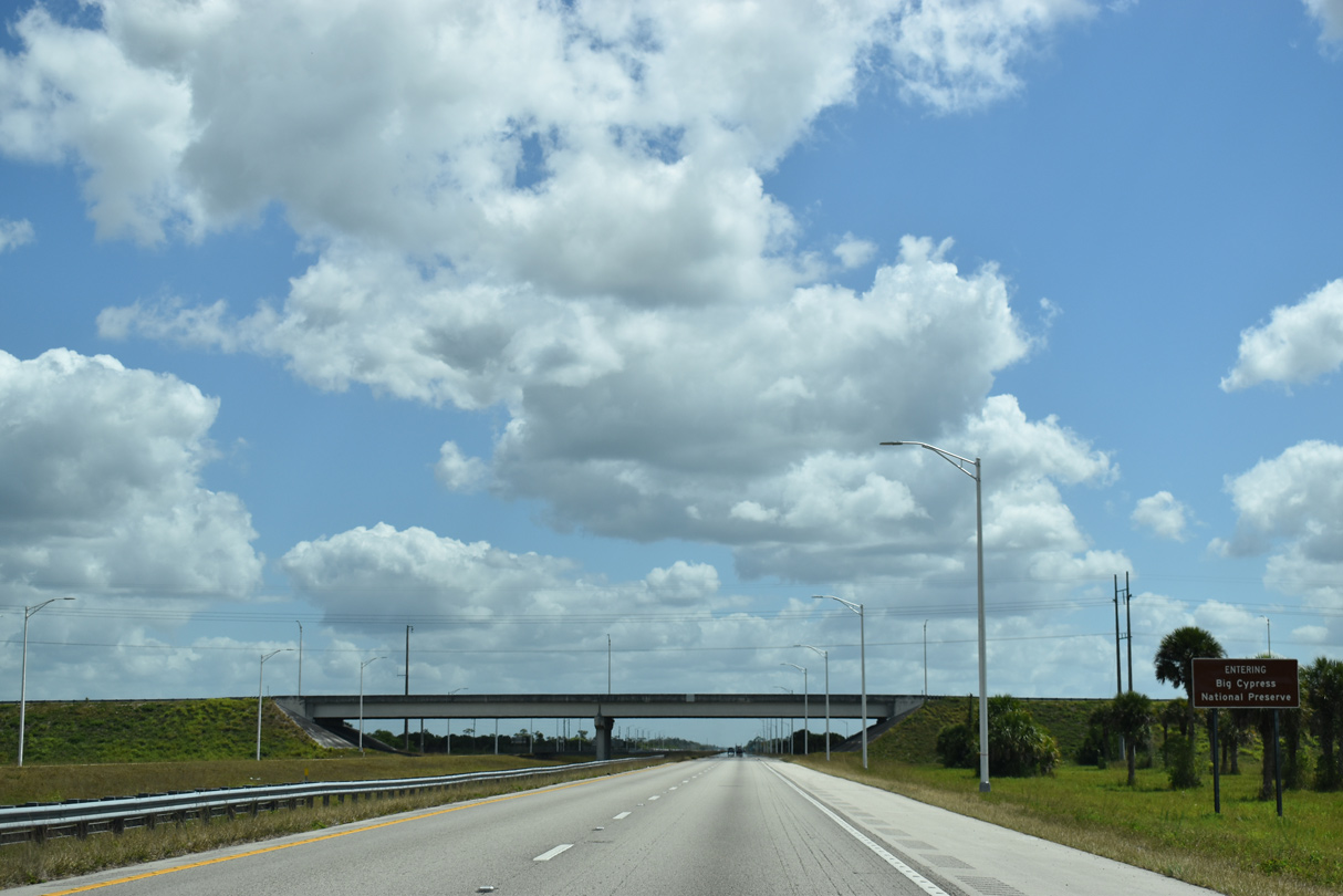
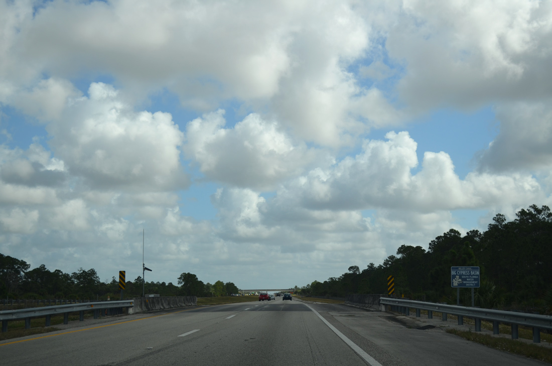
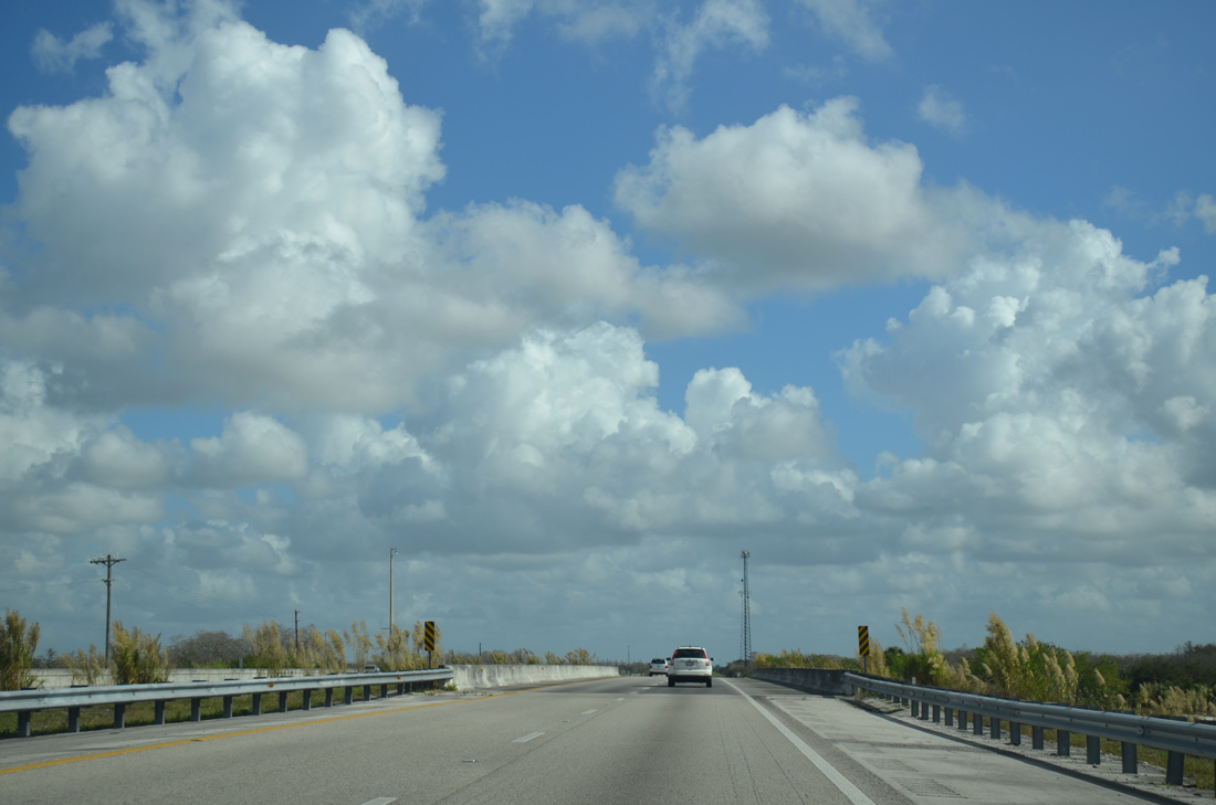
Interstate 75 enters the vast 729,000 acre Big Cypress National Preserve east from SR 29.
03/21/20
Reassurance marker posted along Interstate 75 (Everglades Parkway) east of the Miles City area.
03/21/20
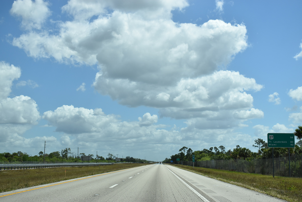
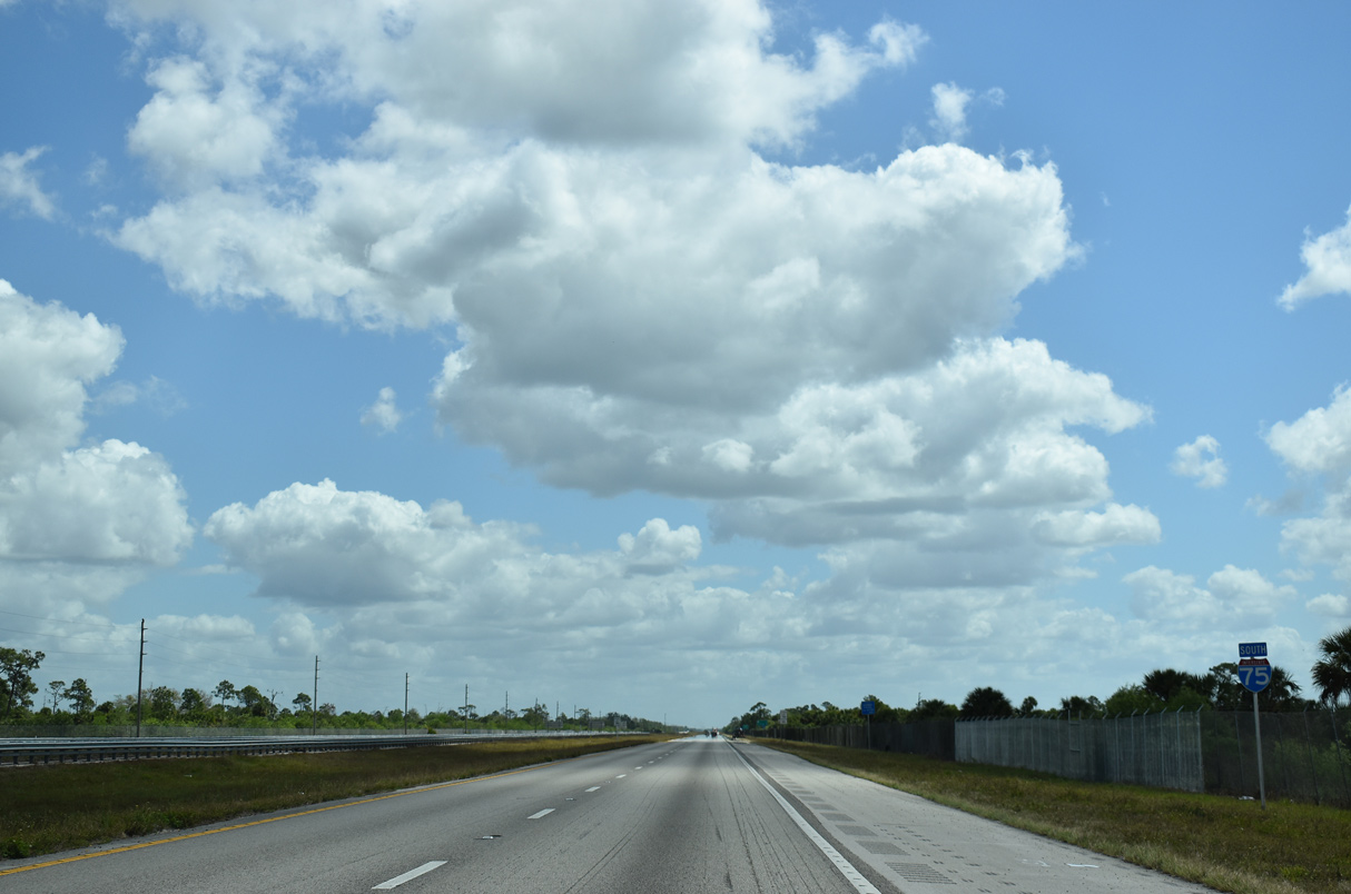
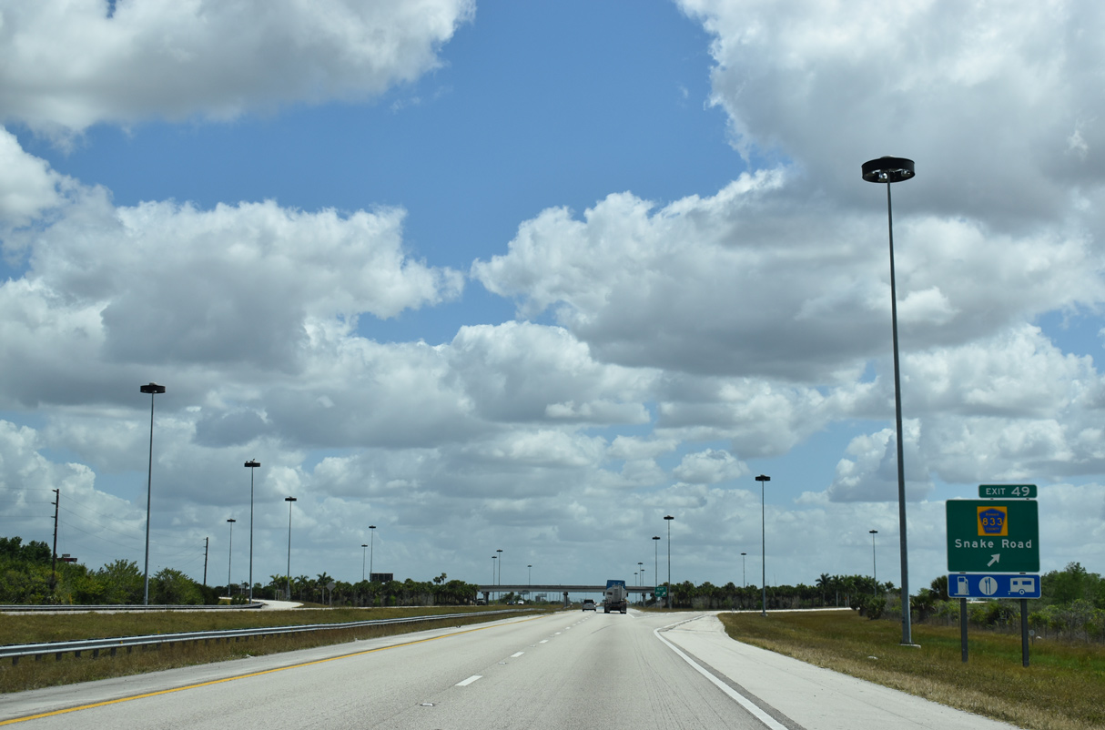
Interstate 75 continues toward Fort Lauderdale and Miami, now 90 miles away. U.S. 27 crosses the freeway on the east side of the Everglades in 58 miles. The succeeding exit with Snake Road (CR 833) is 30 miles away.
03/21/20
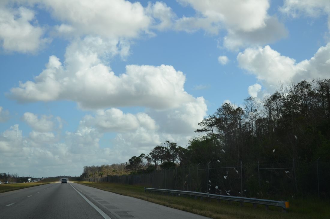
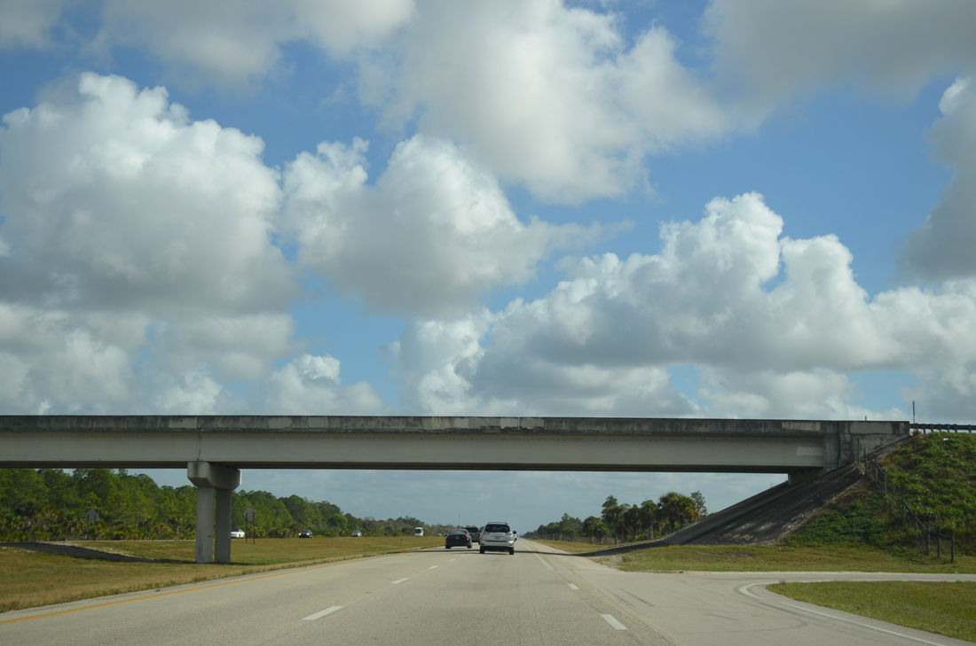
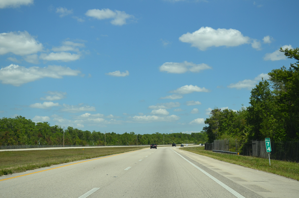
An array of wildlife calls the Everglades home and travelers can see any number of animals along the 75.2 mile long Alligator Alley. This scene looks ahead of the Collier County Road 839 (Turner River Road) under pass.
12/23/13
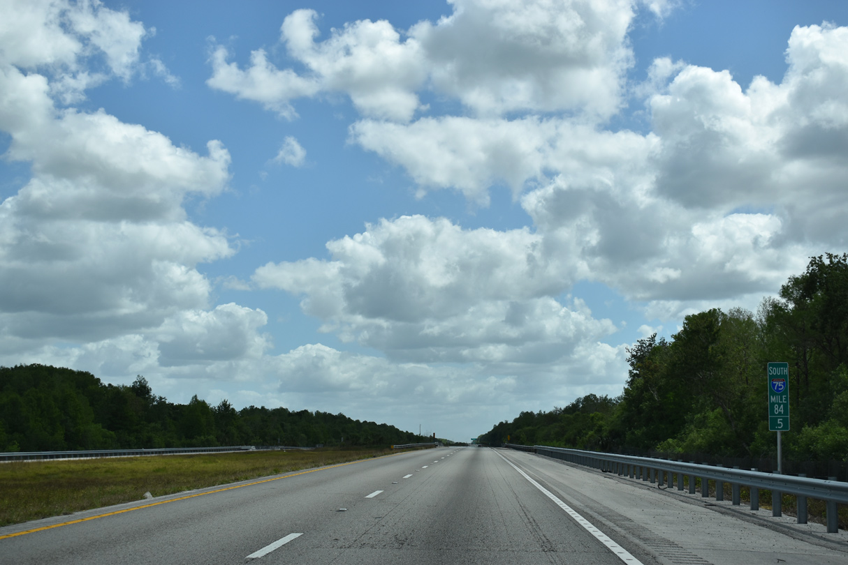
Alligator Alley shifts northward three quarters of a mile beyond the CR 839 crossing at milepost 74.
04/04/15
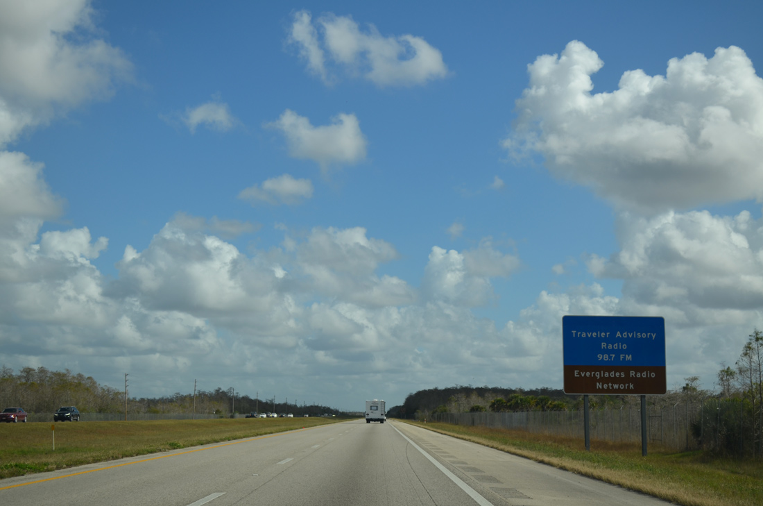
The Everglades Radio Network on 98.7 FM provides visitors opportunities to learn about history and other aspects about the Florida Everglades. Alternatively, the Everglades Radio Network broadcasts on 107.9 FM.
12/23/13
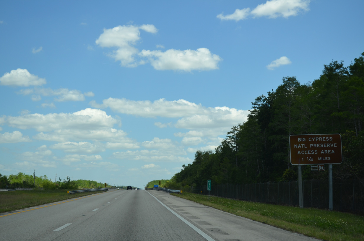
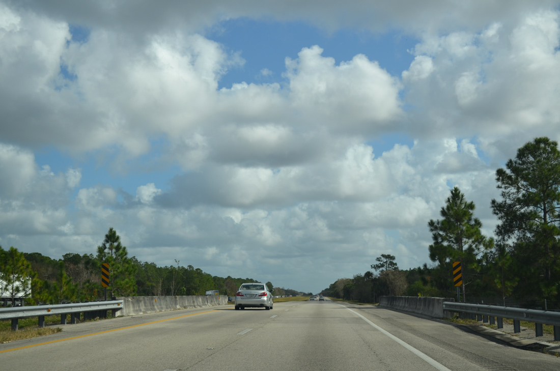
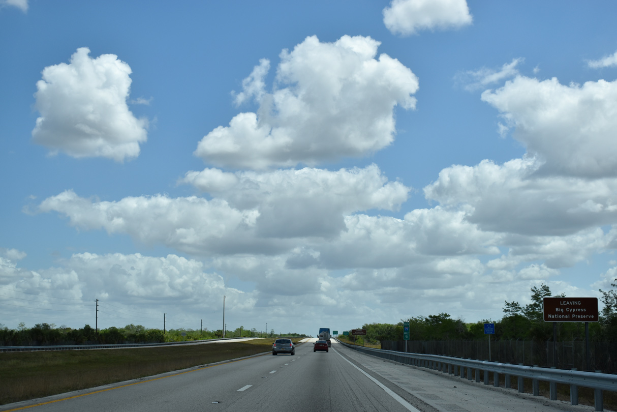
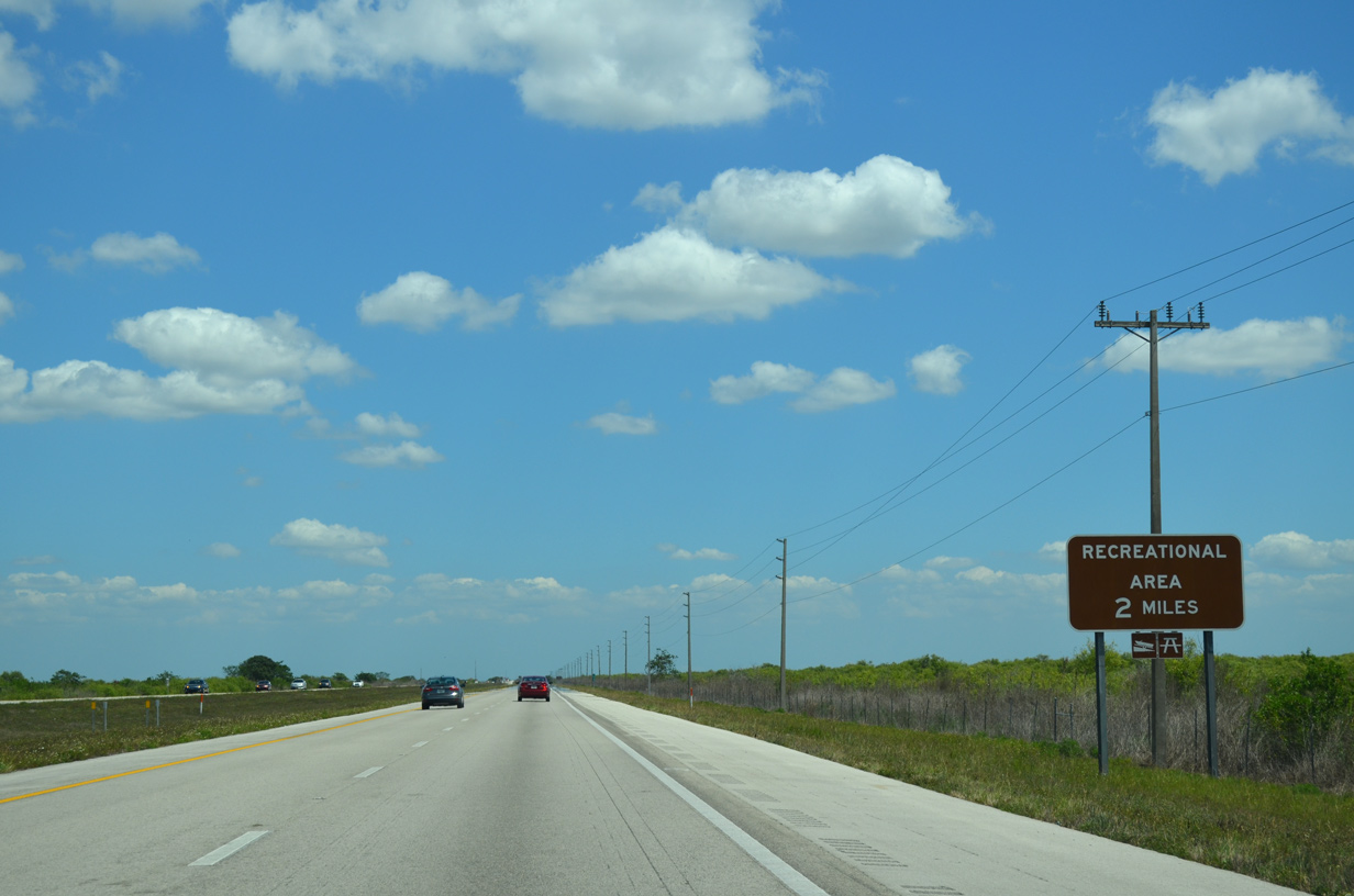
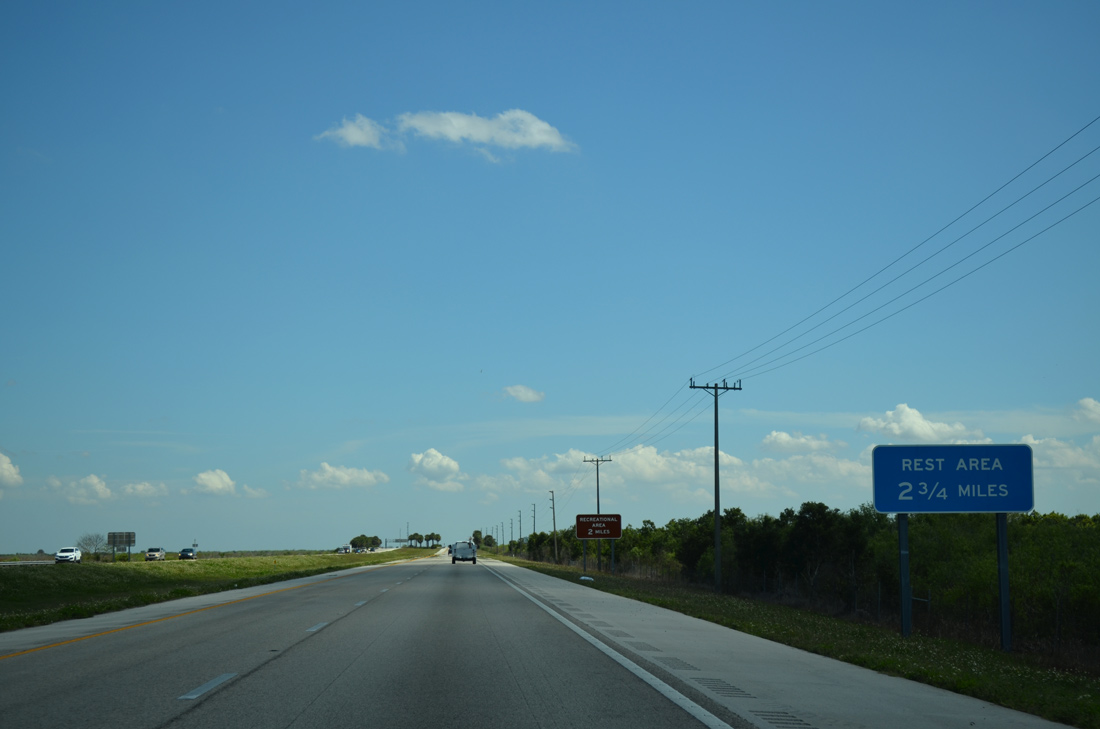
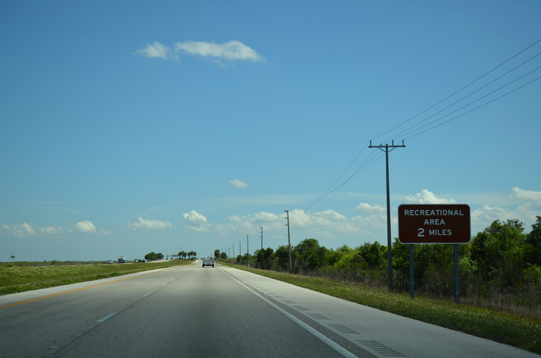
Nearing the Broward County line, I-75 south leaves Big Cypress National Preserve. A succeeding pull-off area near mile marker 71 allows motorists an opportunity to access the surrounding area.
04/04/15
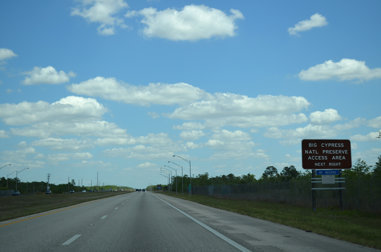
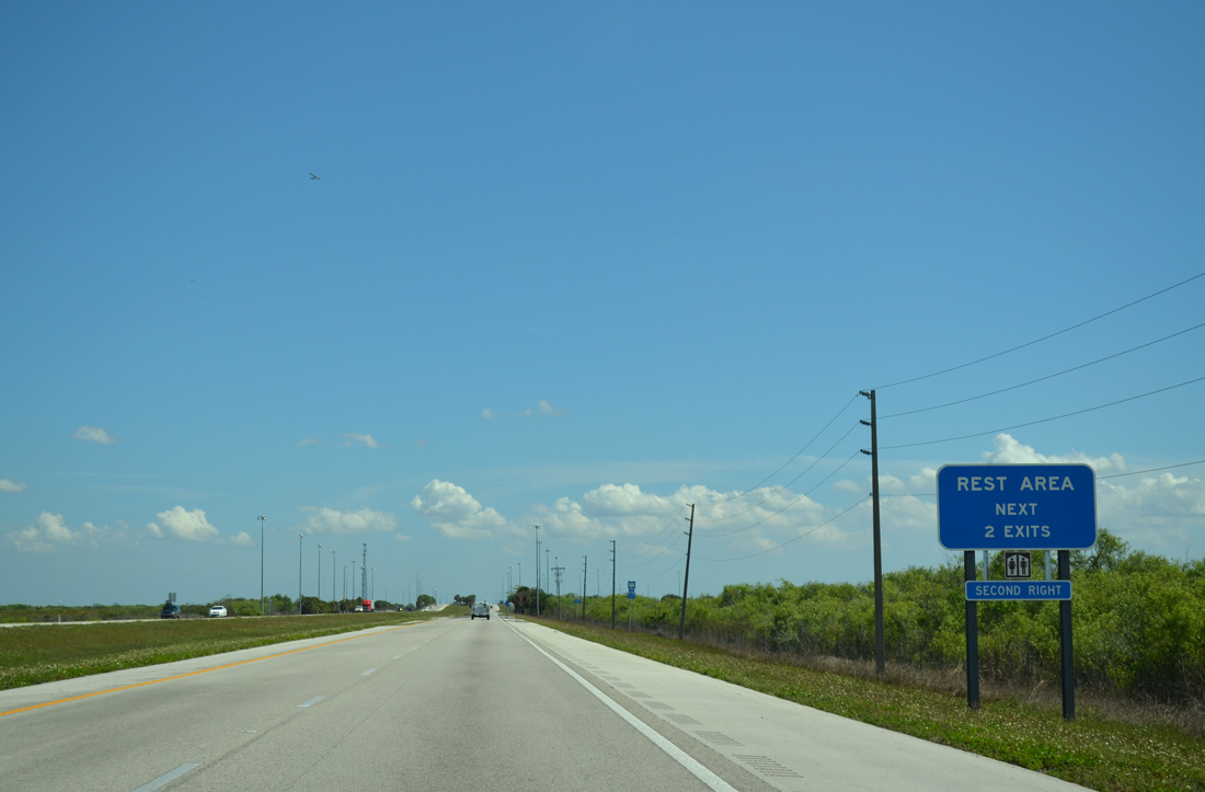
No facilities exist at the pull-off area; A full service rest area follows in 7.3 miles.
04/04/15
Leaving the Big Cypress National Preserve Access Area along Interstate 75 south near Baxter Island.
04/04/15
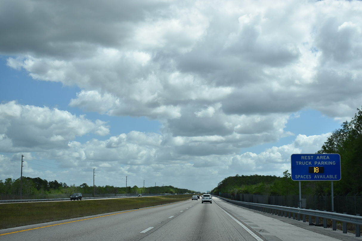
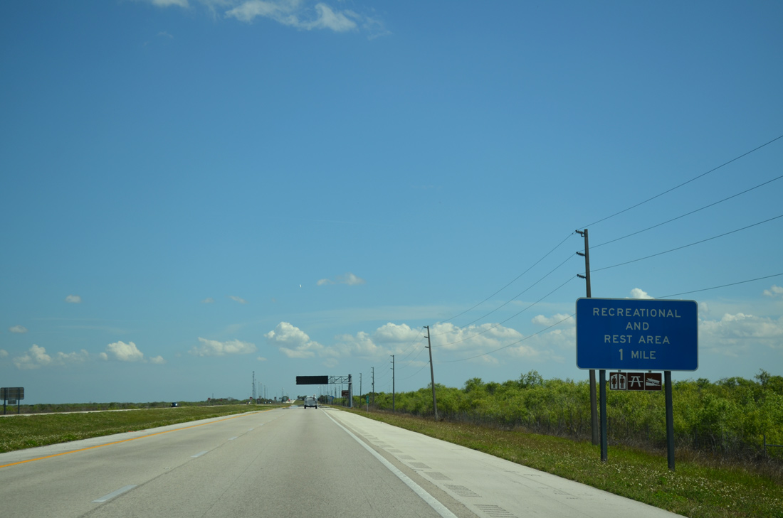
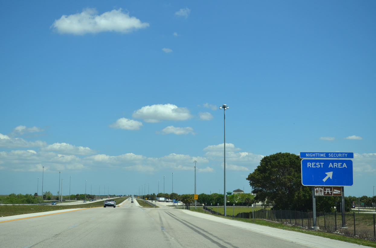
I-75 approaches the Collier County rest area at milepost 63. The facility lies on the south side of the toll road but is accessible from both directions.
03/21/20
An $8.8 million project resulted in the closure of this rest area between June 2013 and August 22, 2014. Construction increased the number of restrooms, added a new public safety center, and expanded recreational access facilities for the Big Cypress National Preserve.1
03/21/20
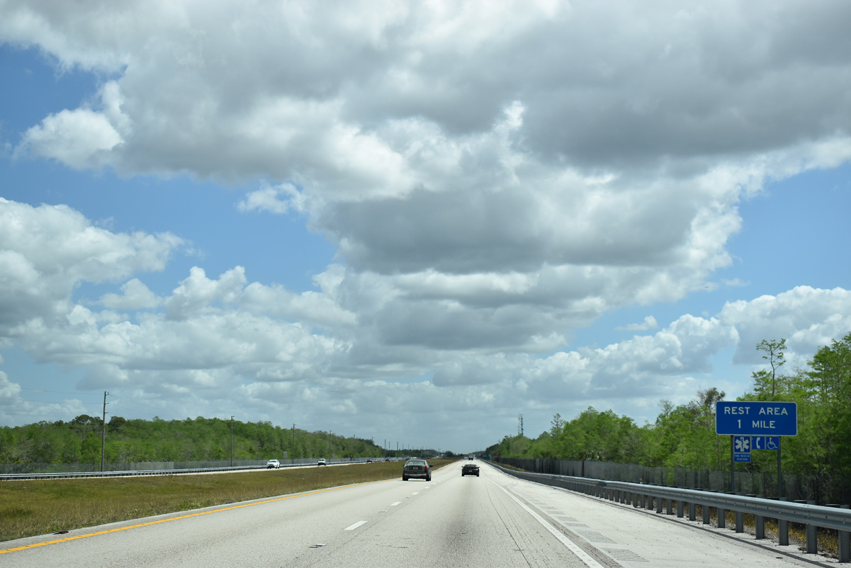
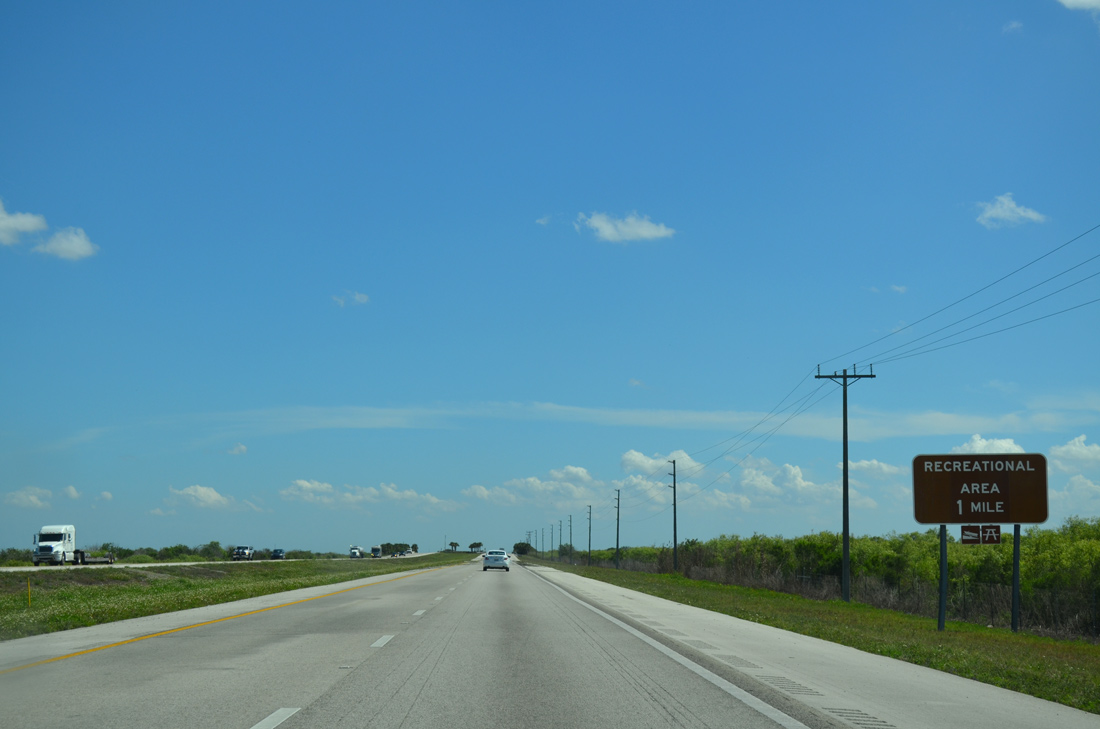
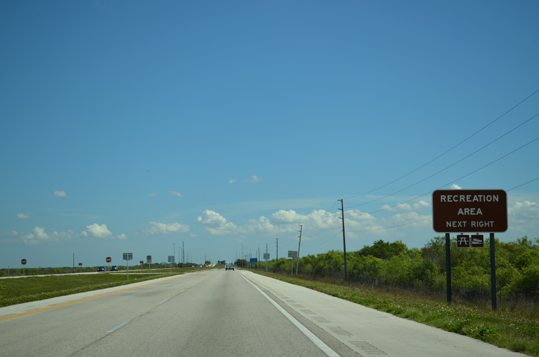
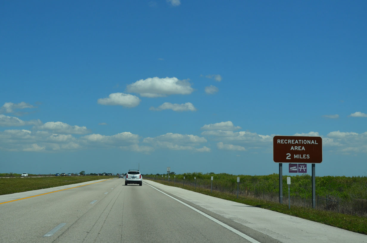
Motorists reach the departure ramp for the Collier County rest area facility and hiking trail access. A recreation area with facilities follows east in 27.2 miles within Broward County.
04/04/15
Another shield assembly appears as I-75 leaves the recreation area south of Billy Strand and north of Bamboo Strand.
03/20/20
Passing over one of several wildlife under crossings along Interstate 75 south.
12/23/13
Advancing toward the Broward County line, Everglades Parkway leaves Big Cypress National Preserve.
03/20/20
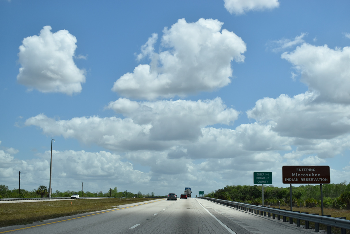
Approximately two thirds across the Florida peninsula, Interstate 75 enters both Broward County and the Miccosukee Indian Reservation.
03/20/20

A diamond interchange (Exit 49) joins Snake Road south with Interstate 75 one mile east of the Collier County line.
10/16/20
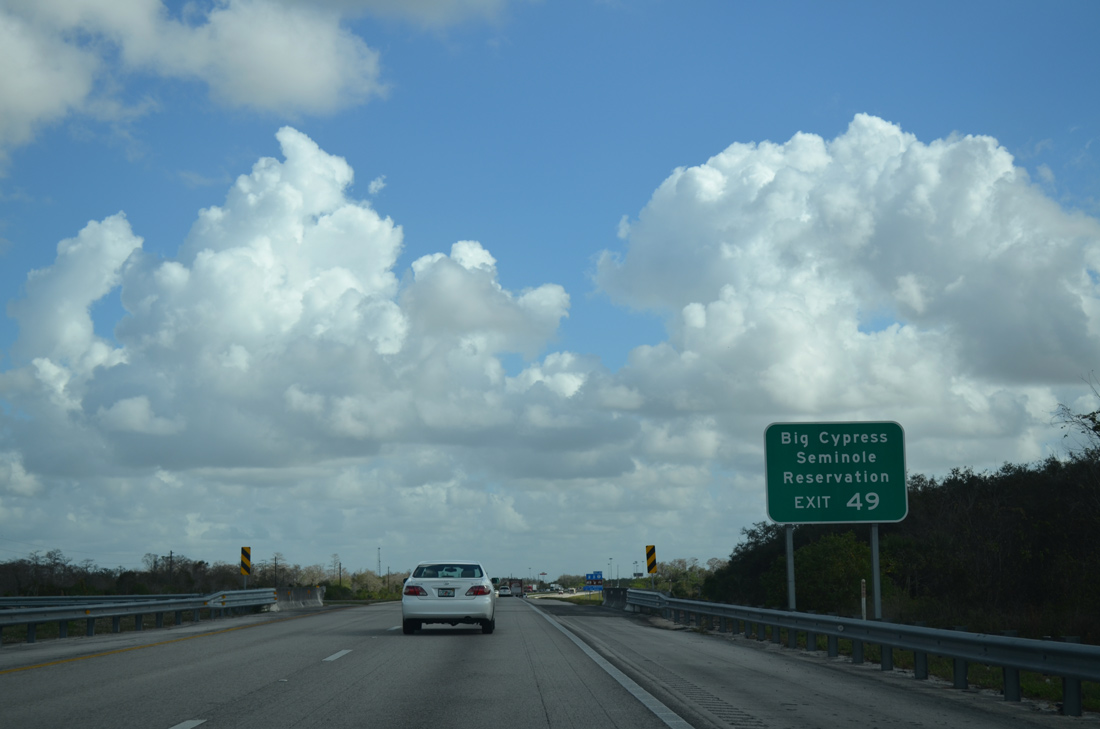
Snake Road winds northward through Miccosukee Indian Reservation to Big Cypress Seminole Reservation ahead of the western turn into Hendry County.
12/23/13
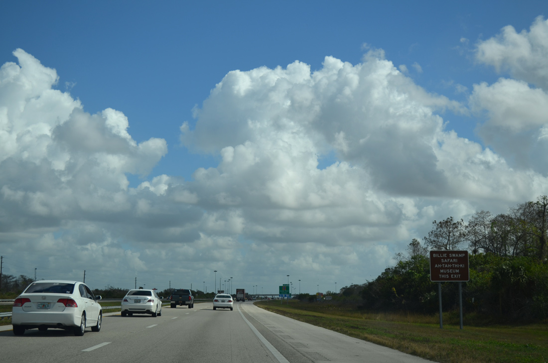
Ponits of interest for Snake Road north include the Billie Swamp Safari and Ah-Tah-Thi-Ki Museum at the Big Cypress Seminole Indian Reservation village in southern Hendry County.
12/23/13
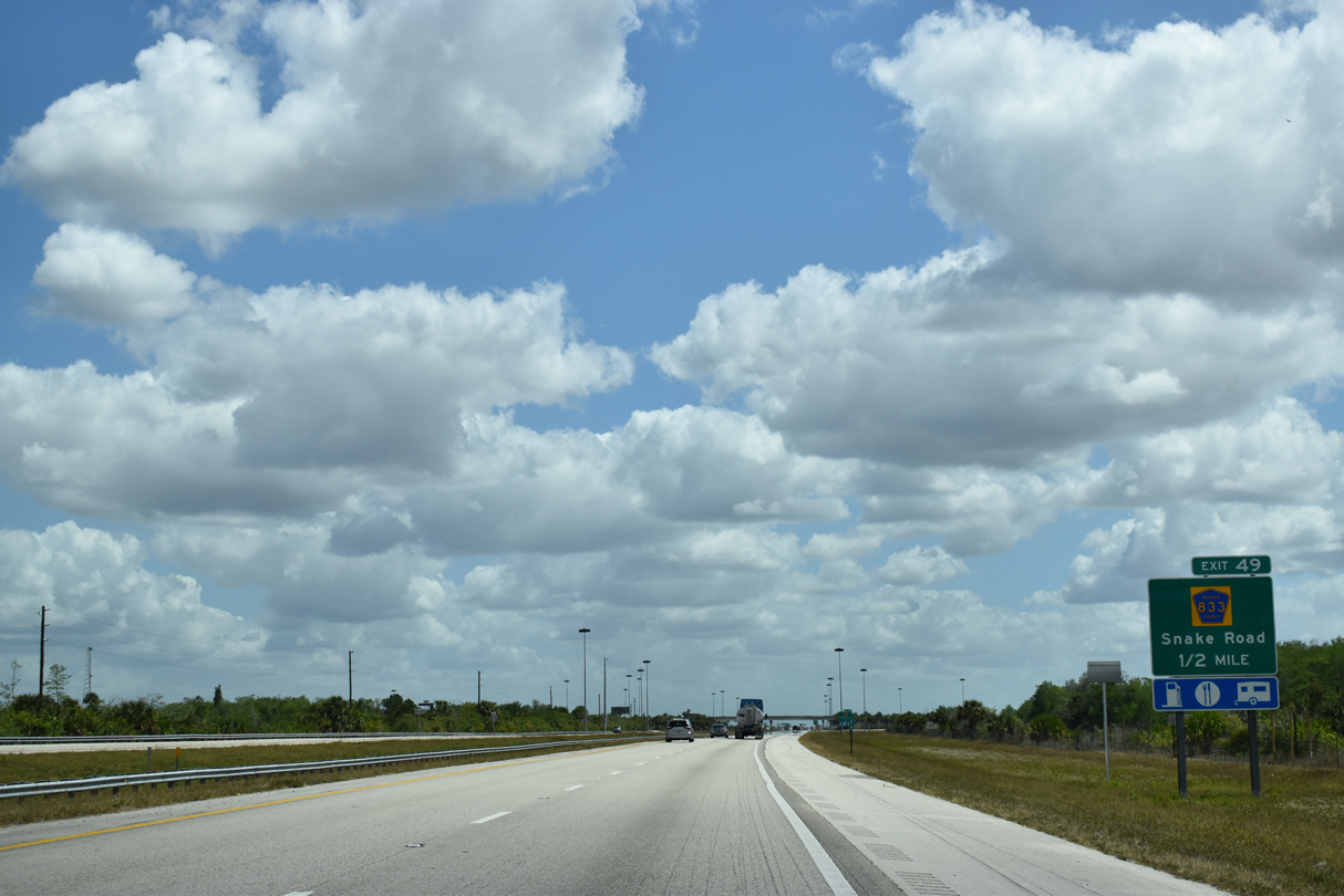
County Road 833 is posted only within Hendry County along a 43.31 mile course north from the Broward County line to SR 80 west of Clewiston.
03/21/20
An Interstate 75 shield assembly precedes the Exit 49 gore point.
04/04/15
Exit 49 parts ways with I-75 (Everglades Parkway) south for Snake Road north to CR 833 (Josie Billie Highway). Snake Road lives up to its name northward from I-75, resembling a snake from above as it zigzags northward.
03/21/20
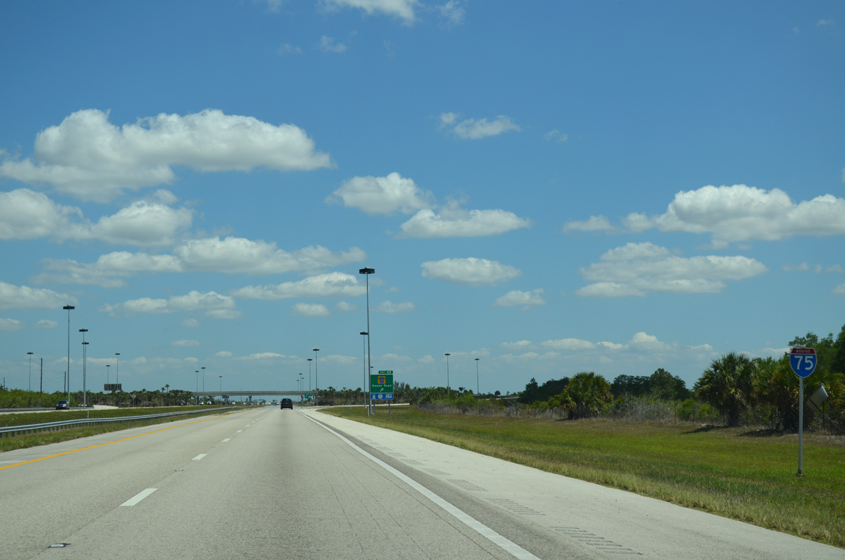
Interstate 75 angles east southeast along a ten mile stretch before turning due east again.
03/21/20

A split diamond interchange joins Alligator Alley with local access roads one mile east of Snake Road. These ramps are not open to the public.
03/04/14
Parking areas line both sides of Interstate 75 next. These stops provide picnic tables and access to the adjacent wildlife areas.
04/04/15
03/04/14

I-75 south reaches the Everglades Wildlife Management Area recreation area. Each facility includes a boat ramp.
03/04/14
Interstate 75 makes the turn eastward.
04/04/15
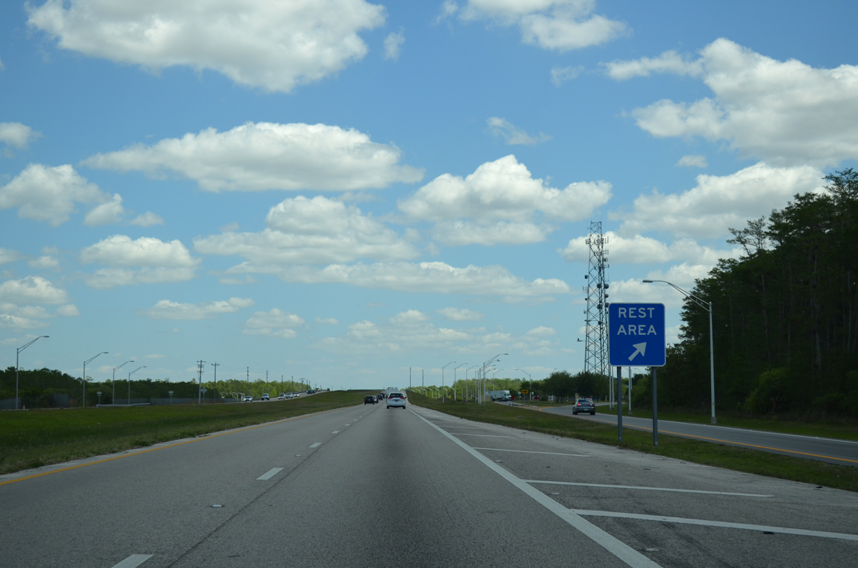
A short distance further east is the Broward County rest area of Interstate 75.
03/04/14
The second of three Everglades Wildlife Management Area recreation stops precedes the rest area.
03/04/14
The forthcoming recreational area includes a pair of boat ramps and frontage road access to both the north side parking lot and adjacent rest area.
03/04/14
The recreation area lies just east of milepost 37.
03/04/14
This sign reminds motorists that the rest area, which includes tourist information and modern rest rooms, is accessible from both forthcoming ramps.
03/04/14
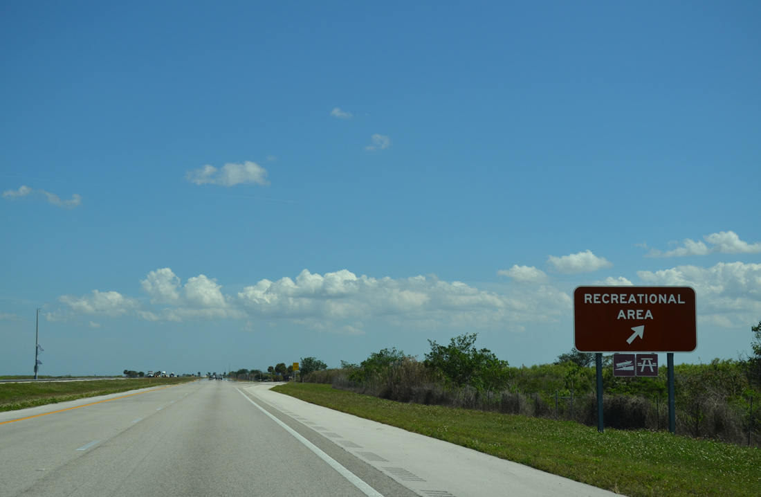
Interstate 75 south at the ramp departure for the boat ramps and picnic pavilions at the recreation area.
03/04/14
Travelers pass over a canal ahead of the Rest Area ramp. A frontage road parallels the south side between the two stops.
04/04/15
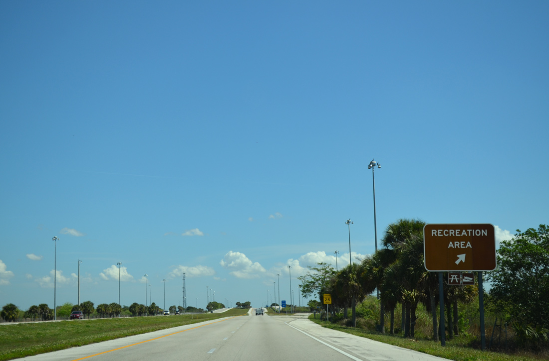
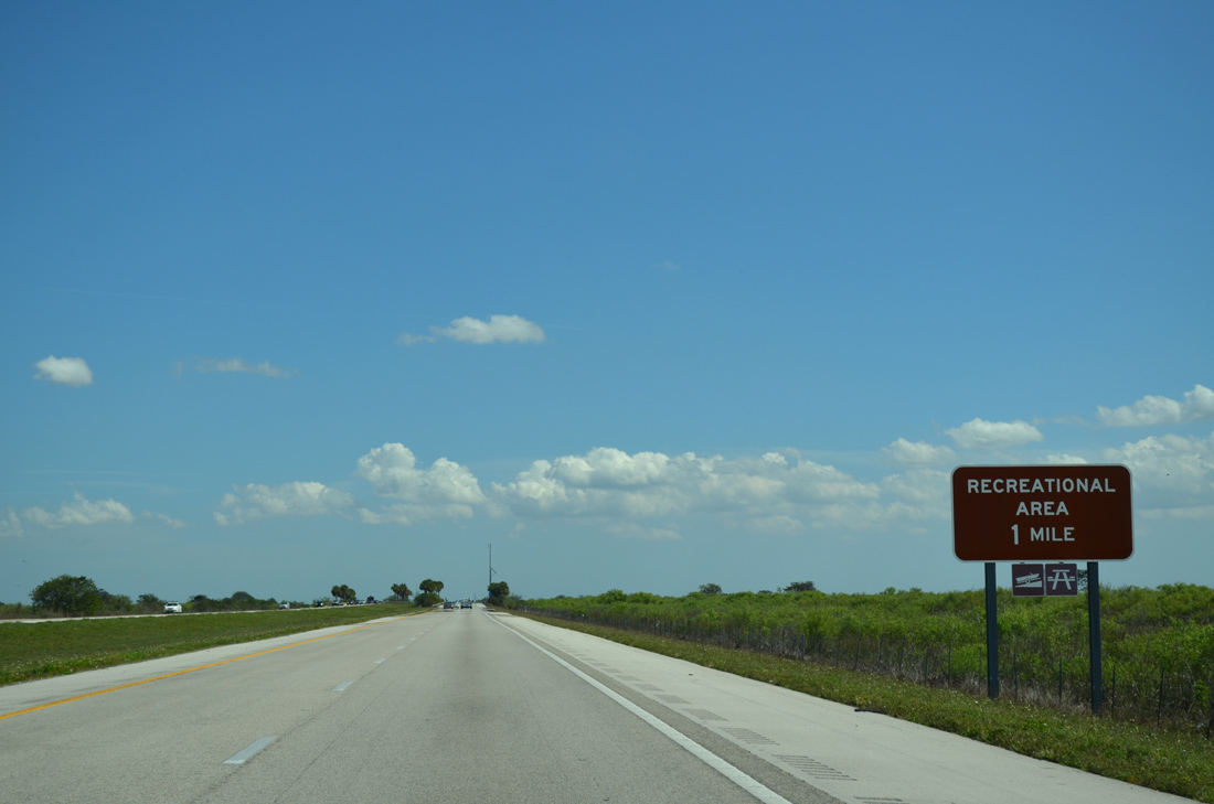
The final recreation area stop along Everglades Parkway lies two miles ahead.
04/04/15
Like the others to the west, the preceding recreational area includes picnic pavilions and a boat ramp.
03/04/14
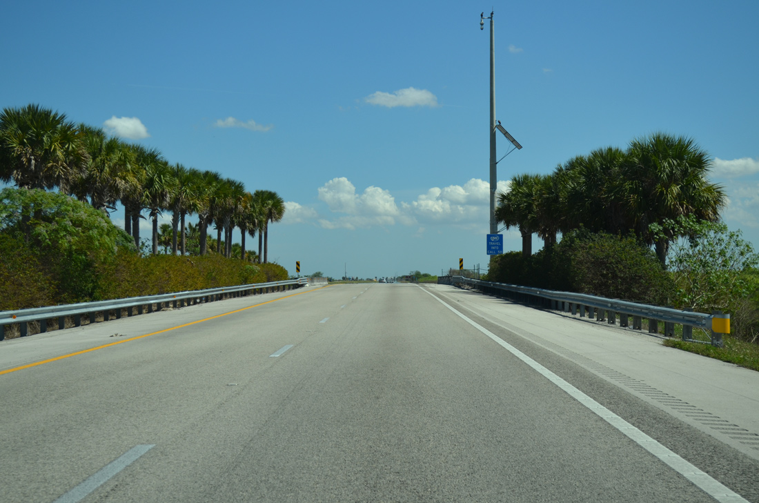
Canals line both sides of Interstate 75 along this stretch, with connectors linking the two waterways below bridges such at the one west of milepost 31.
03/04/14
Southbound I-75 at the last Everglades Wildlife Management Area recreational area. A similar area lies on the north side.
03/04/14
Six more sets of bridges carry Interstate 75 motorists over canal connectors between the recreation area and east gate toll plaza.
03/04/14
Tolls are collecting in the northbound direction only at the east end of Alligator Alley.
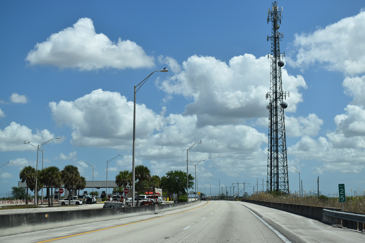
03/21/20
Crossing the last in the series of Everglades canals, I-75 continues to Andytown and Interstate 595 at the city of Sunrise.
01/23/16
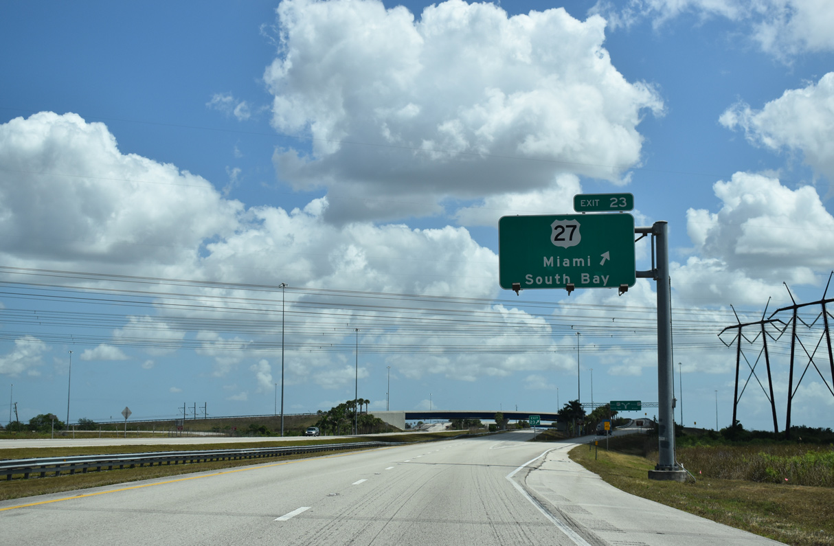
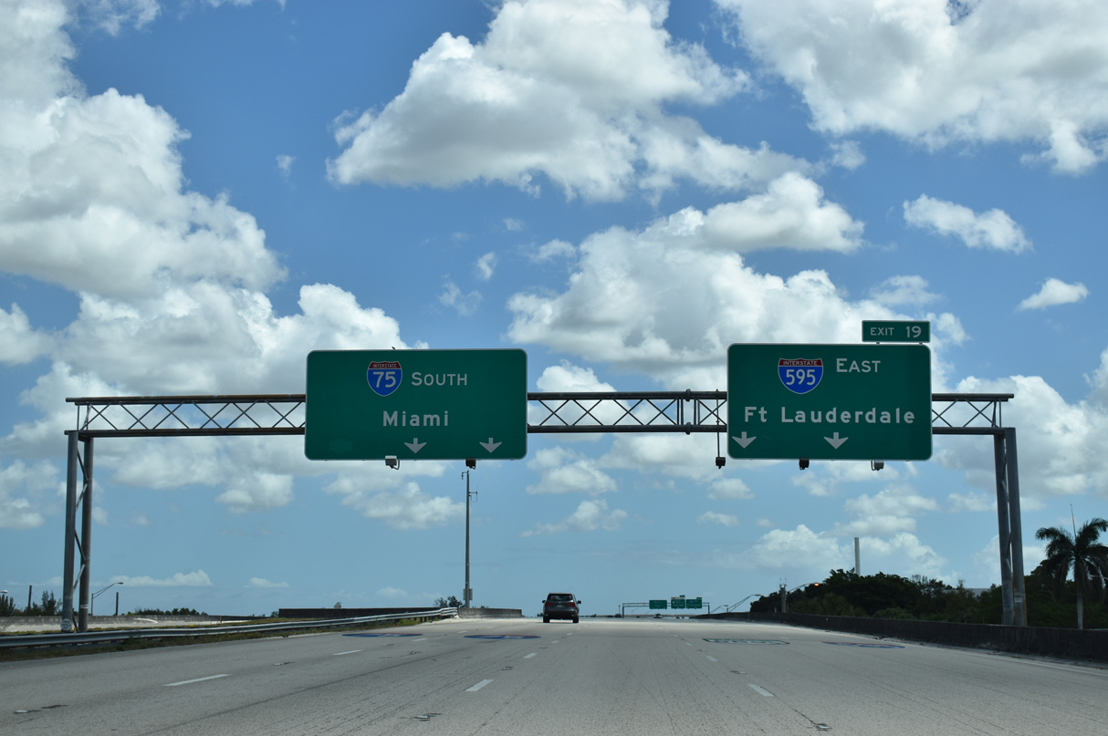
The cloverstack interchange with U.S. 27 lies one mile beyond the toll plaza area. No advance signage is posted for Exit 23 to U.S. 27 south to Hialeah and Miami and north to South Bay and Clewiston.
03/21/20
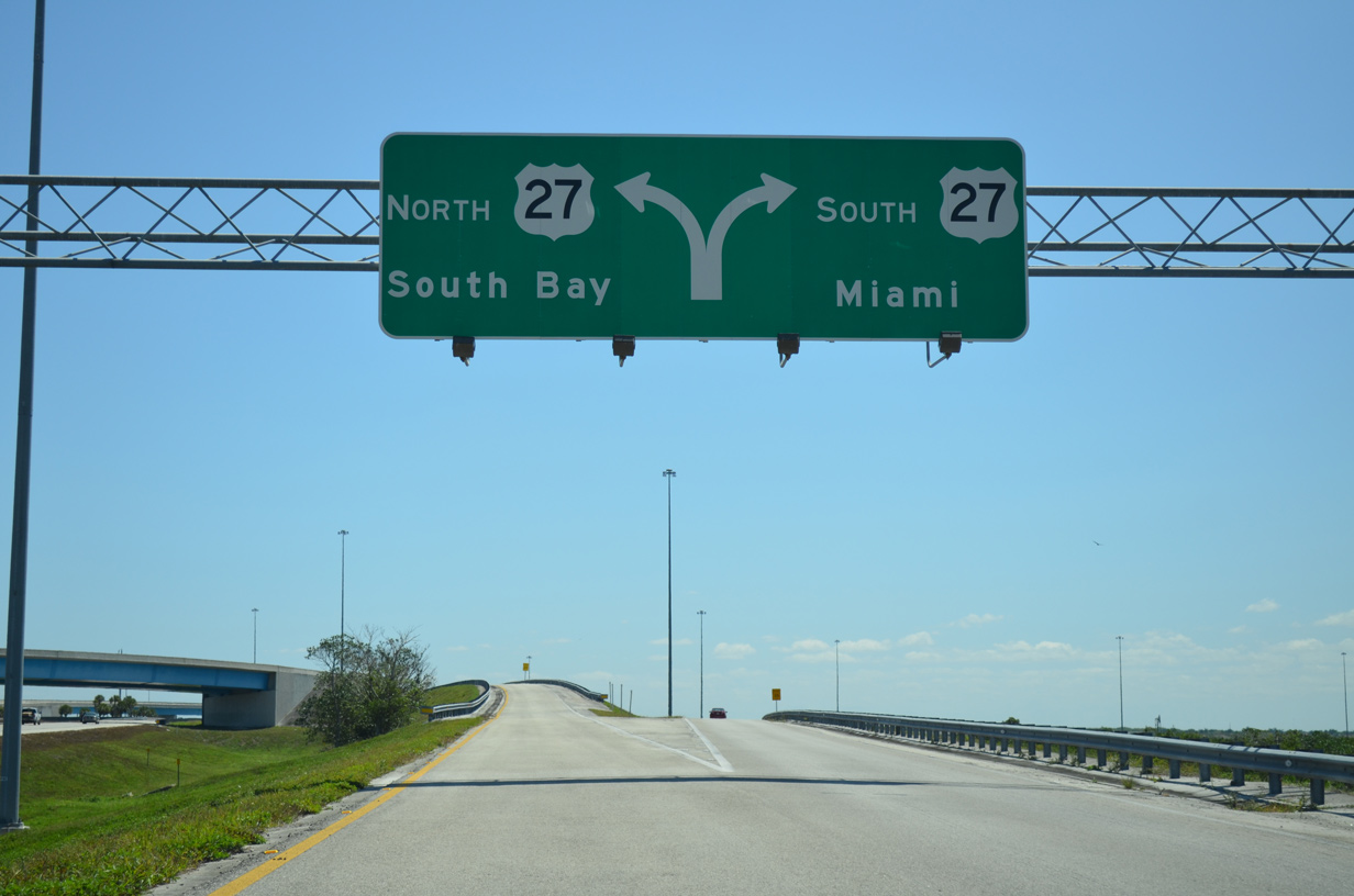
All traffic to U.S. 27 departs I-75 south in unison. A loop ramp joins U.S. 27 north through Everglades Wildlife Management Area to Lake Okeechobee. Southward, U.S. 27 lines the western reaches of Weston, Pembroke Pines and Miramar before turning southeast to Hialeah and its southern terminus in Miami.
04/01/14
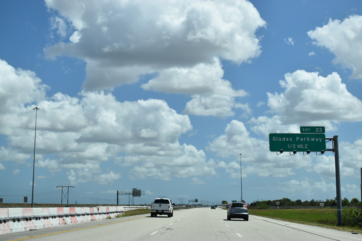
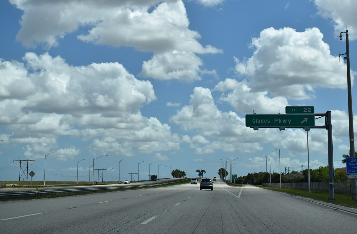
Interstate 75 lines the northern city limits of Weston from Andytown east to Weston Road at Sunrise. A split diamond interchange (Exit 22) joins the freeway with Glades Parkway (formerly Arvida Parkway) south next.
03/21/20
Exit 22 forms the eastbound beginning of SR 84, the frontage road system for both I-75 through Weston and I-595 to Dania Beach. SR 84 was the previous designation for all of Alligator Alley until its incorporation into the Interstate system.
03/21/20
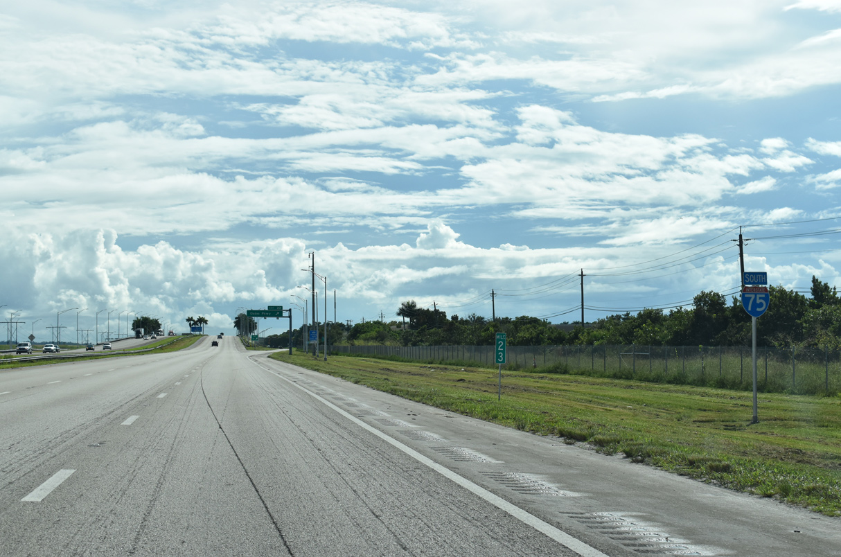
The SR 84 frontage road system originates eastbound from U.S. 27 at Andytown. It appears alongside this reassurance marker posted at milepost 23.
10/16/20
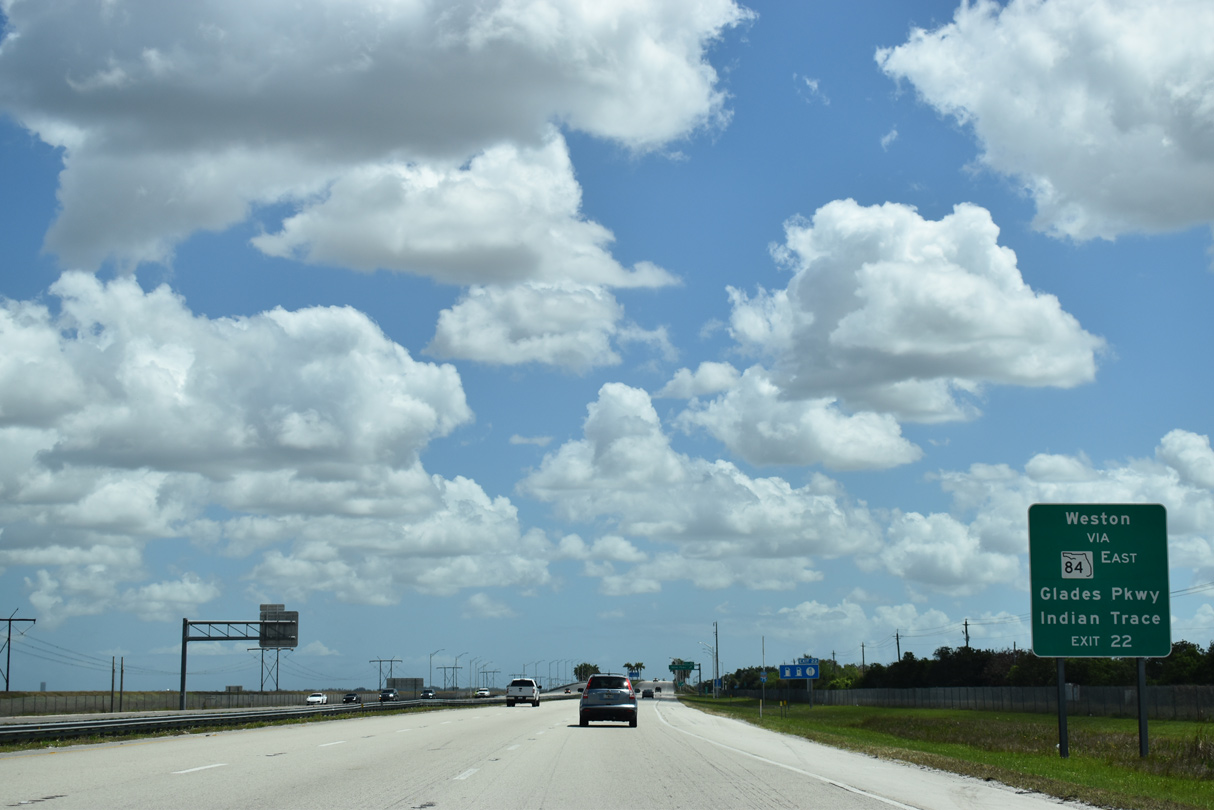
Glades Parkway winds south from SR 84 as one of the two main arterial routes, Indian Trace being the other, through Weston. Glades Parkway becomes Royal Palm Boulevard south of Saddle Club Road en route to I-75 at Exit 15.
03/21/20
An entrance ramp joins I-75 south ahead of this shield assembly and the Indian Trace underpass.
12/23/13
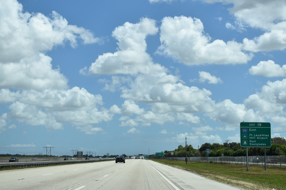
The first sign for the systems interchange (Exit 19) with I-595 references the Port Everglades Expressway connections with both Fort Lauderdale-Hollywood International Airport (FLL) and Port Everglades. Both transportation hubs lie beyond the east end of I-595.
03/21/20
A half diamond interchange adds traffic to I-75 south from Indian Trace via ramps with parallel SR 84.
12/23/13
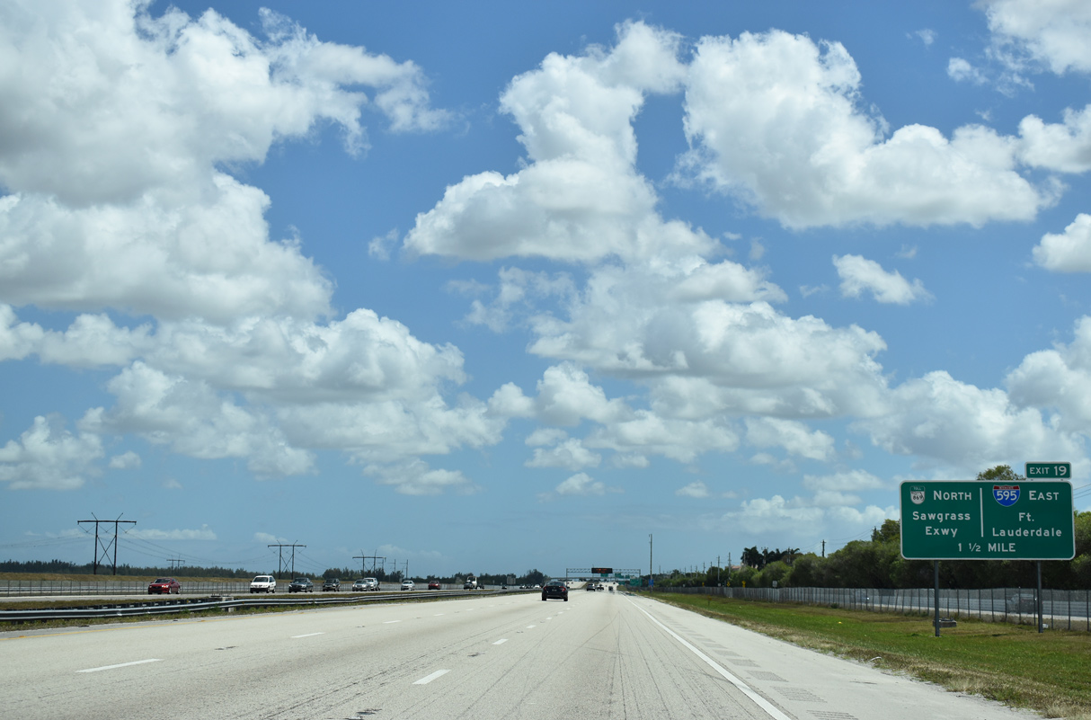
Forthcoming Exit 19 also provides access to the Sawgrass Expressway (SR 869) north to Sunrise, Tamarac, Coral Springs and Coconut Creek. The toll road in conjunction with Florida's Turnpike provides a bypass of Fort Lauderdale north to West Palm Beach.
03/21/20
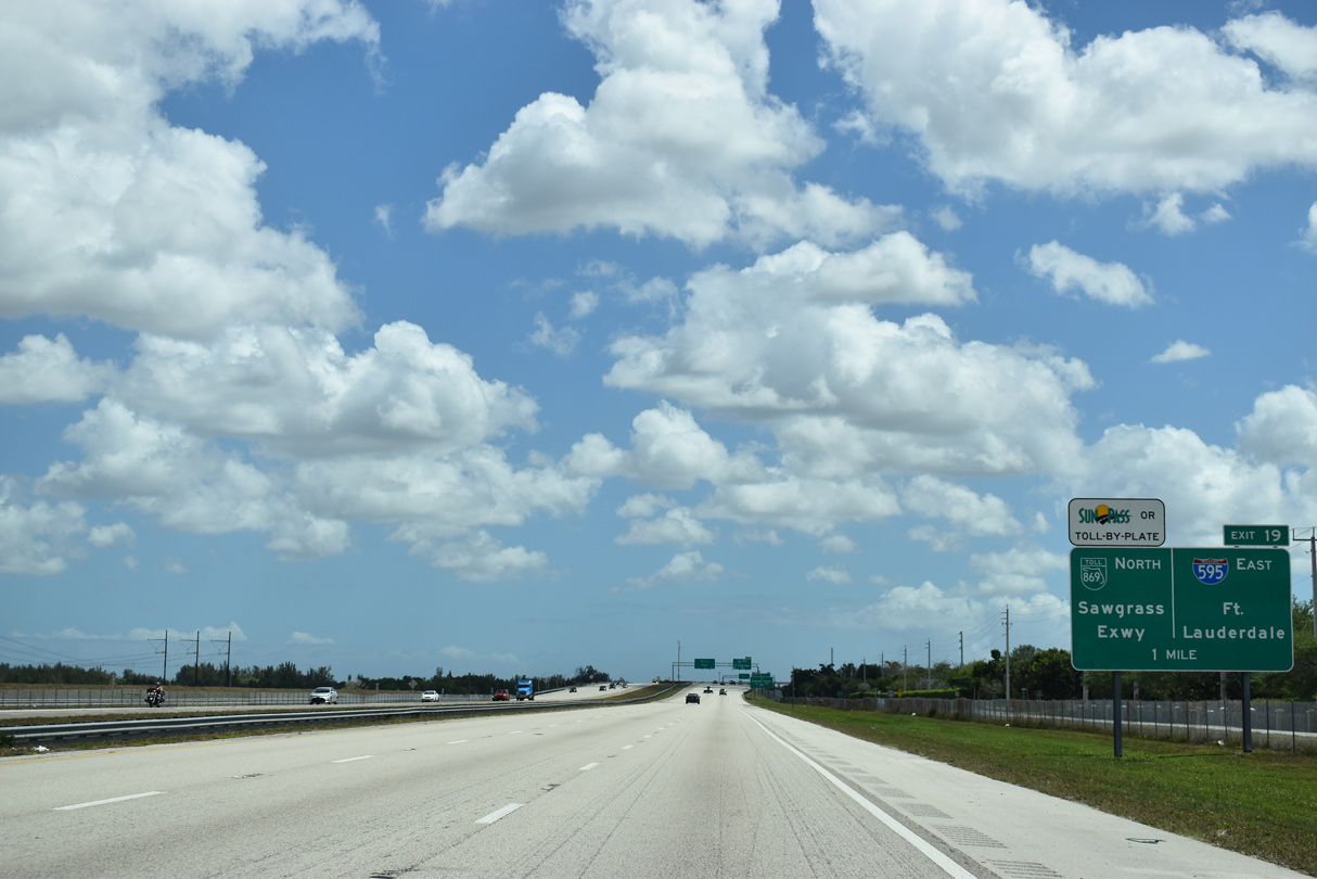
The Sawgrass Expressway travels 20.81 miles, representing a dividing line between the Everglades Wildlife Management Area and built up areas of Sunrise, Tamarac and Coral Springs. The toll road portion of SR 869 concludes at Florida's Turnpike, with the remainder of the 23.99 mile route following 10th Street through Deerfield Beach to I-95.
03/21/20
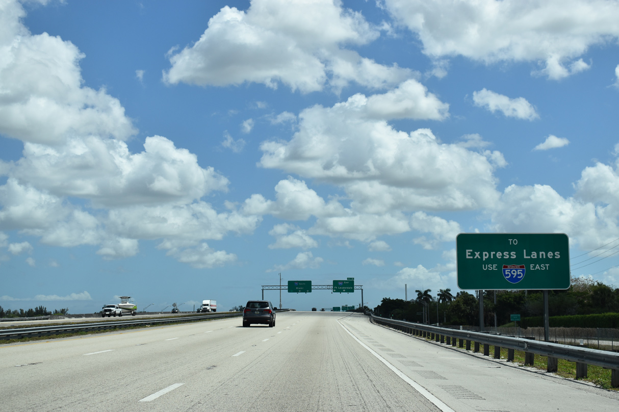
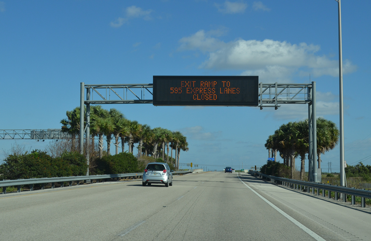
I-595 is a 12.86 mile spur from I-75 east to Florida's Turnpike, I-95 and U.S. 1 at Fort Lauderdale. A heavily traveled freeway, construction from 2010 to 2014 reconfigured I-595 with the addition of the reversible I-595 Express lanes and improved interchanges between SR 869 and I-95.
03/21/20
Passing over Bonaventure Boulevard, I-75 southbound expands to five lanes ahead of the split with Interstate 595 (Port Everglades Expressway) east.
03/21/20
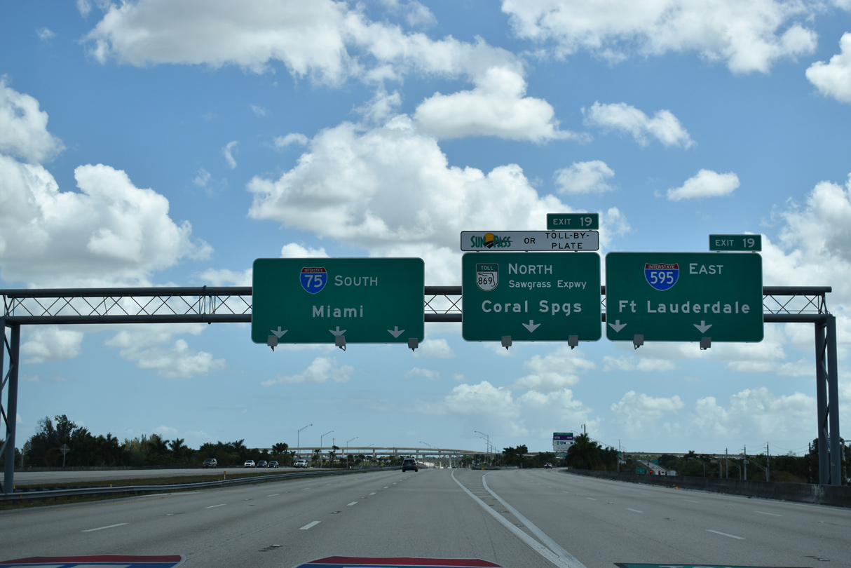
I-75 turns south with three lanes toward Hialeah and Miami, while three depart at Exit 19 for I-595 (Port Everglades Expressway) east and SR 869 (Sawgrass Expressway) north.
03/21/20
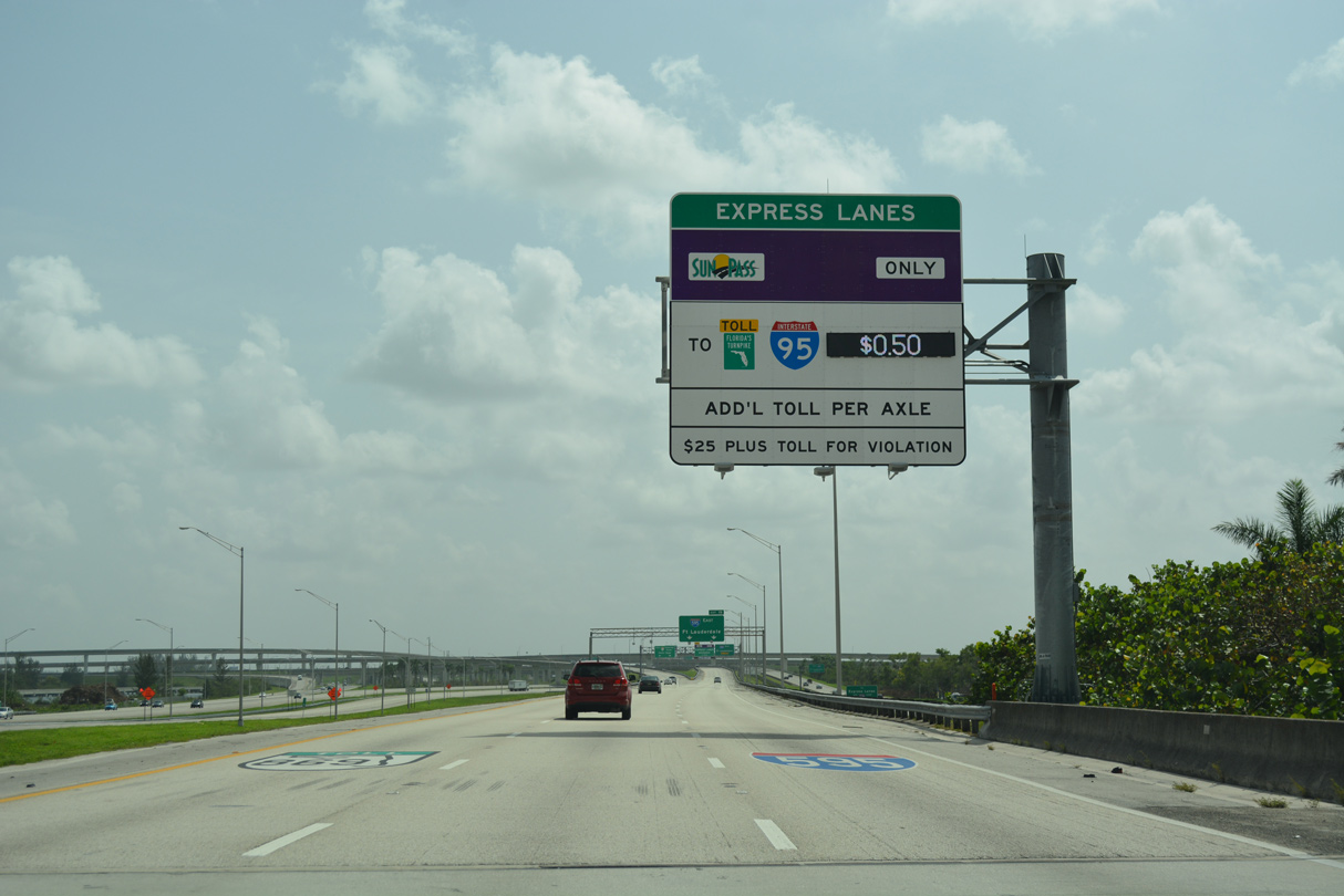
The I-595 Express Lanes begin from within the four-level interchange at I-75 and SR 869. Opened in March 2014, the managed lanes flow eastbound during weekday mornings, with tolls varying depending upon traffic congestion and time of day.
09/30/17
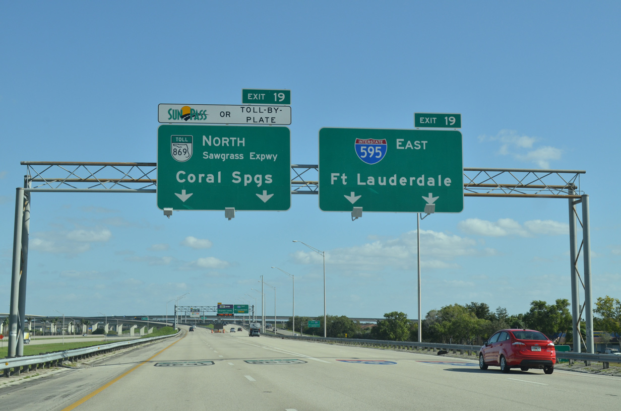
Exit 19 partitions with two lanes heading north on SR 869 (Sawgrass Expressway) north en route to Sunrise and FLA Live Arena (home of the NHL Florida Panthers) and two lanes traveling east on Interstate 595.
01/23/16

References:
- "I-75/Alligator Alley Rest Area Project at Mile Marker 63 in Collier County." FDOT newsletter, July 2013.
Photo Credits:
- ABRoads: 12/23/13, 04/04/15, 01/23/16, 09/30/17, 03/20/20, 03/21/20
- AARoads: 12/23/13, 04/04/15
- Alex Nitzman: 10/16/20
- Alex Nitzman, Chris Kalina: 03/04/14
- Alex Nitzman, Carter Buchanan: 04/01/14
Connect with:
Page Updated Tuesday October 20, 2020.