
Former Business Loop I-75 - Cordele


The Cordele Business Loop for Interstate 75 traveled a 7.2 mile C-shaped route west from Exit 101 to Exit 104. The southern leg of the route followed U.S. 280/SR 30-90 along 16th Avenue west from a diamond interchange with I-75 to U.S. 41/SR 7. The business route turned north through Downtown Cordele alongside U.S. 41/SR 7-90 on 7th Street to exit the city across Gum Creek. A rural intersection with Farmers Creek Road returned the loop east to I-75.

 West
West  North
North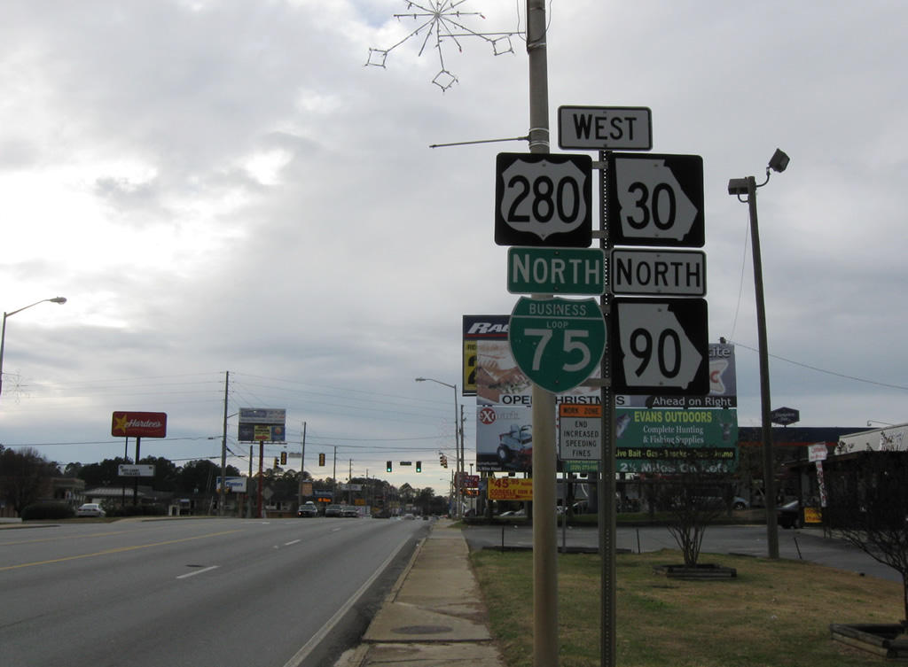
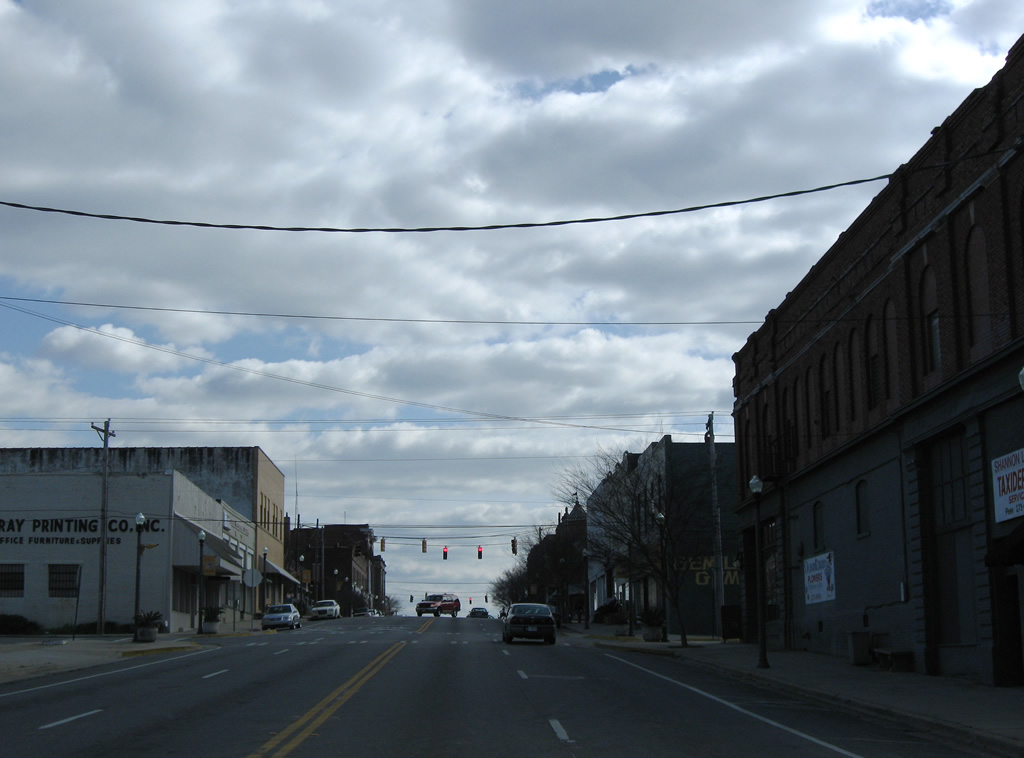
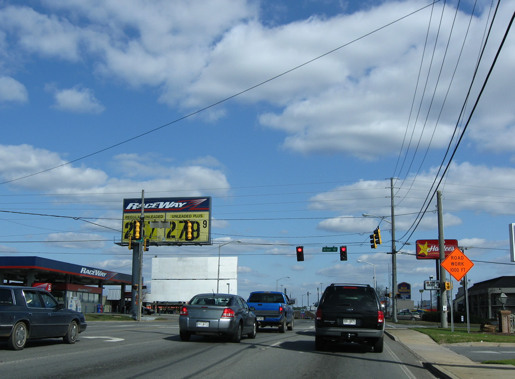
Leading west from I-75, U.S. 280/SR 30-90 constitute a five lane commercial arterial to U.S. 41 (7th Street) outside Downtown Cordele. This stretch of 16th Avenue doubled as Business Loop I-75. The first shield for the business route preceded Greer Street. It was removed with this assembly by 2010 but reposted by 2013.
12/27/09
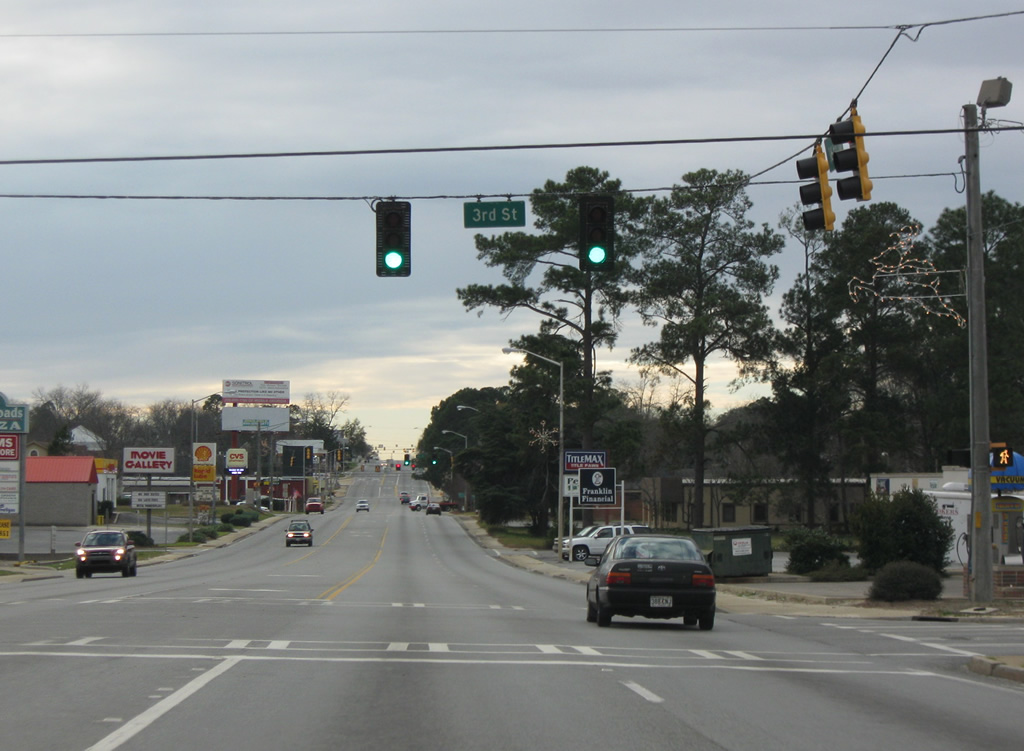
Four blocks east of the SR 90 and former Business Loop I-75 northbound split with U.S. 280 & SR 30 (16th Avenue) at 3rd Street.
12/27/09
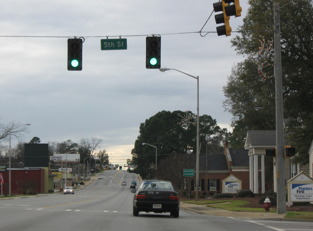
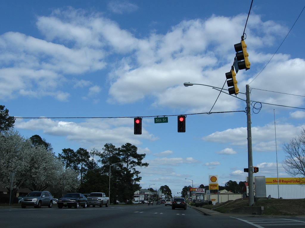
5th Street heads north from U.S. 280 (16th Avenue) to eastern reaches of Downtown Cordele and south through the residential street grid.
12/27/09
Forthcoming U.S. 41/SR 7 travel along 7th Street through Cordele, joining the city with Ashburn to the south and Vienna to the north.
12/27/09

 North
North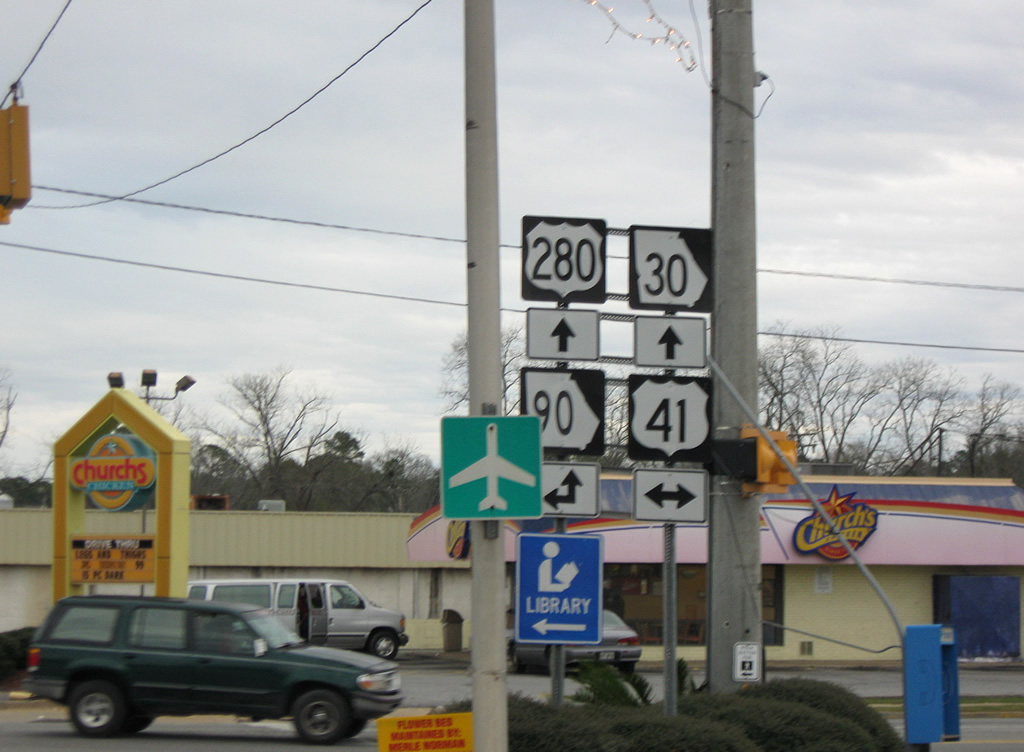
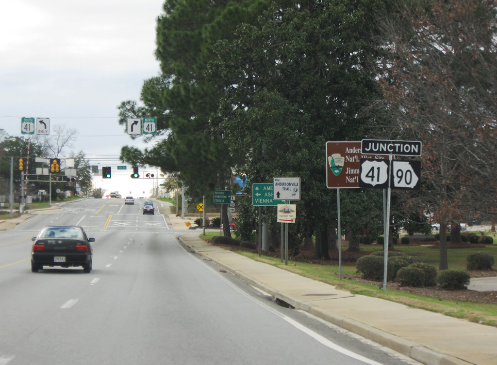
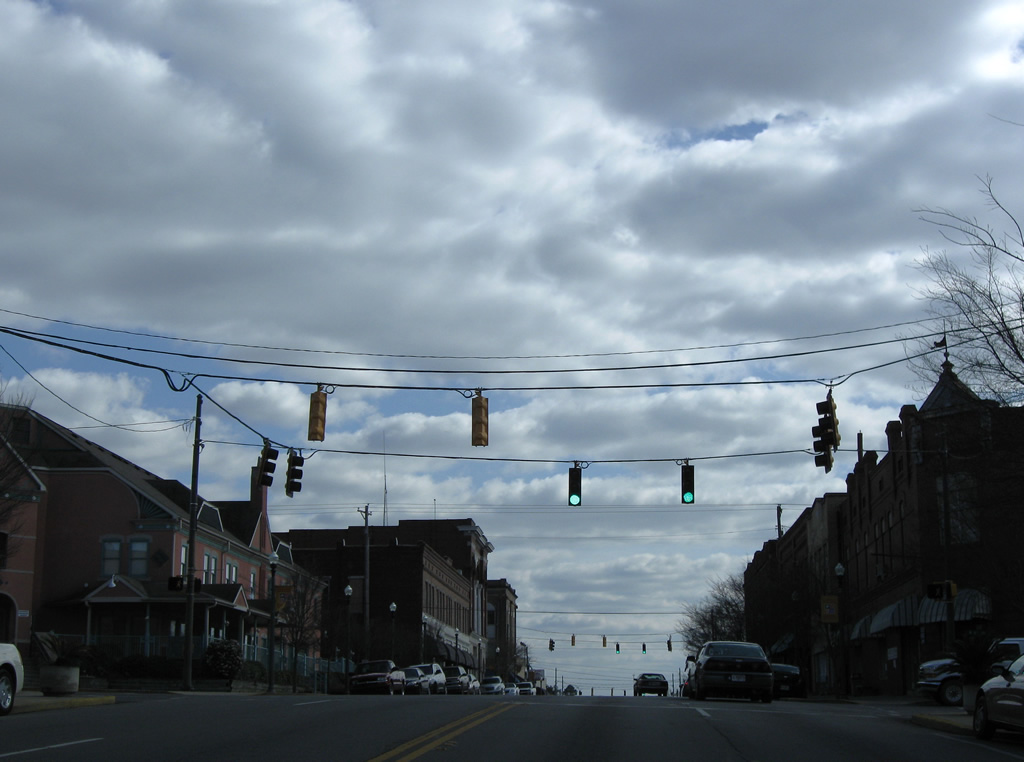
U.S. 41/SR 7 follow 7th Street north through Cordele. The pair merge with SR 90 at U.S. 280 (16th Avenue) south of Downtown. Business Loop I-75 used to join the trio northward to Farmers Branch Road.
12/27/09
South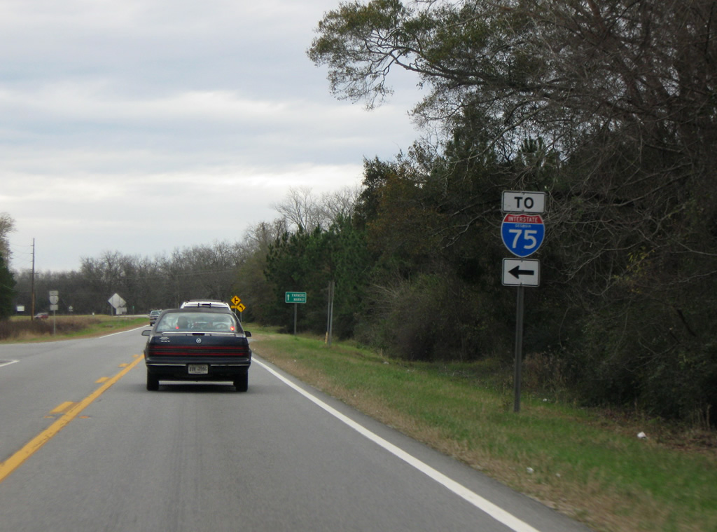
U.S. 41 south combined with Business Loop I-75 south at Farmers Branch Road in a rural area one mile north of the Cordele city line. Farmers Branch Road heads east to Watermelon Capital Speedway, Exit 104 of I-75 and SR 257 at Tremont Road.
12/27/09
U.S. 41/SR 7-90 turns south from a four lane divided highway for 7th Street to Downtown Cordele.
03/15/10
U.S. 41 (7th Street) intersects 11th Avenue at the first of a series of traffic lights through Cordele.
03/15/10
Southbound U.S. 41 (7th Street) at 12th Avenue.
03/15/10
13th Avenue leads west from U.S. 41 to 13th Street and east to Pecan Street at Williams Park.
03/15/10
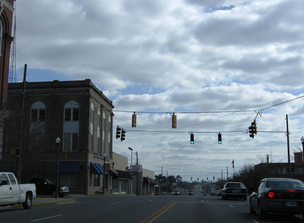
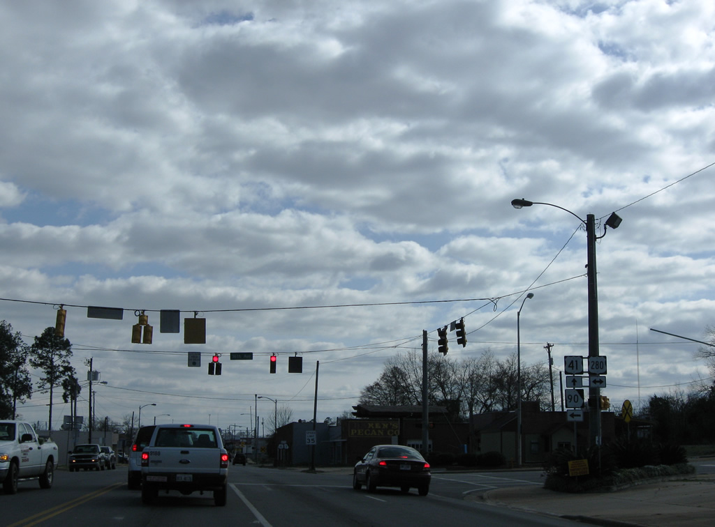
Two blocks ahead of the Business Loop I-75 turn from 7th Street onto 16th Avenue east.
03/15/10
U.S. 280, a 392 mile route from Birmingham, Alabama to Blitchton in Bryan County, enters Cordele from Leslie to the west alongside SR 30. SR 90 splits with U.S. 41 south here for a 2.2 mile overlap along U.S. 280 (16th Avenue) east.
03/15/10
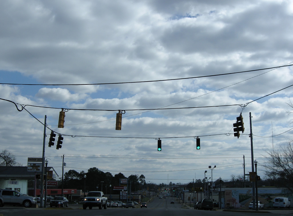
U.S. 41/SR 7 (7th Street) continue south from the split with Business Loop I-75 to exit Cordele ahead of Cedar Creek and SR 300. U.S. 280 carries the former business loop east back to I-75 as the main commercial route for the city.
03/15/10
East South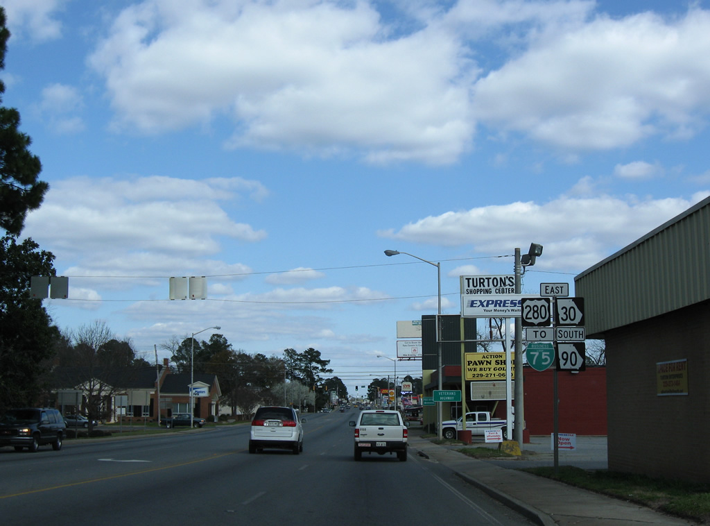
Also known as Veterans Highway, U.S. 280/SR 30-90 travel 16th Avenue east from U.S. 41 to I-75. Since replaced with an I-75 shield, a trailblazer for Business Loop I-75 was posted here.
03/15/10
16th Avenue constitutes a five lane commercial arterial east from U.S. 41 to Interstate 75. This view looks at U.S. 280 east at 5th Street.
03/15/10
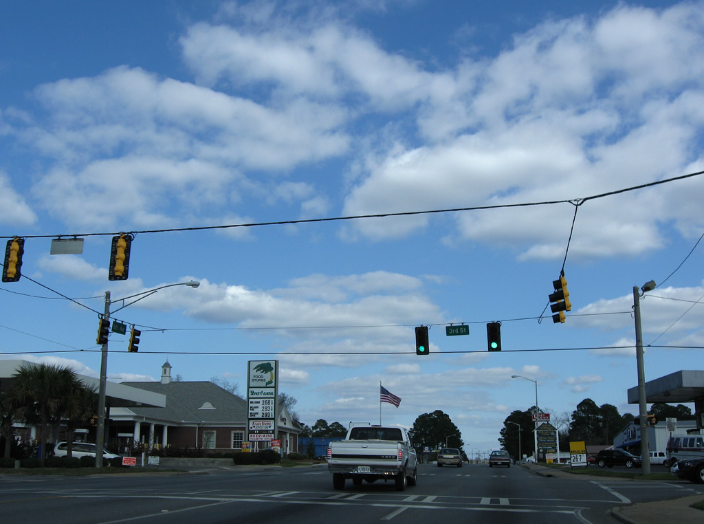
3rd Street connects U.S. 280/SR 30-90 with the residential street grid both north and south of 16th Avenue.
03/15/10
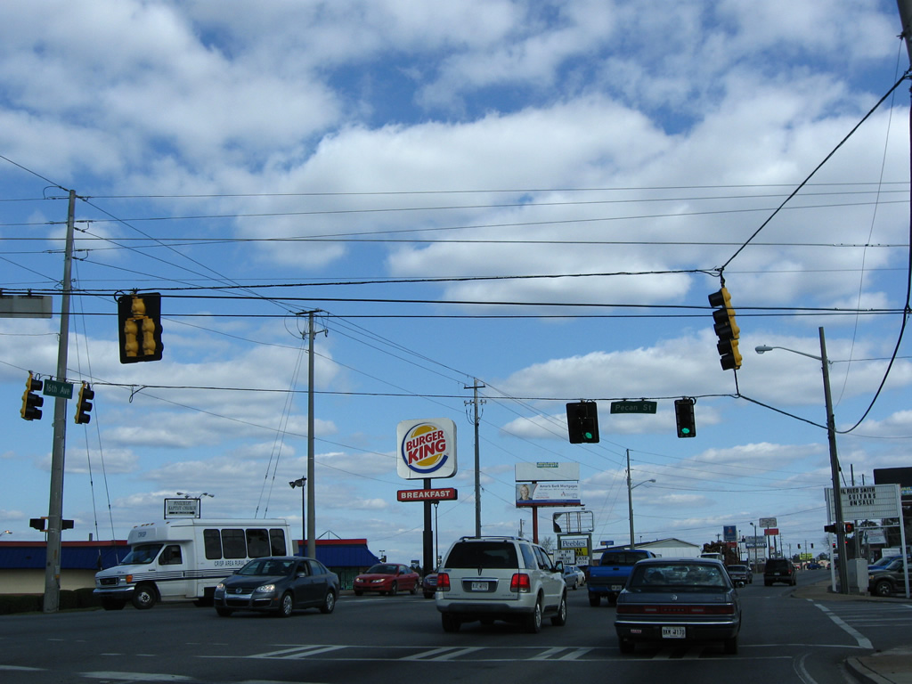
U.S. 280 (16th Avenue) kinks southward ahead of Pecan Street. Shopping centers occupy the northern half of the signalized intersection.
03/15/10
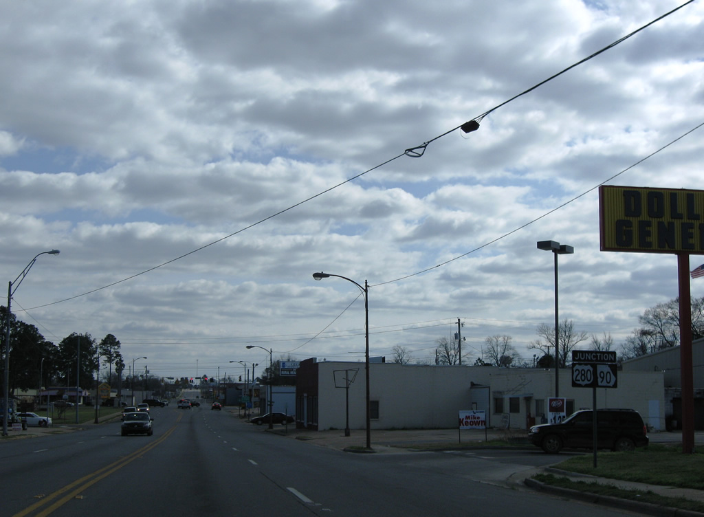
The next set of reassurance markers for U.S. 280 and SR 30-90 posted along 16th Avenue reside between Broad Street and the entrance to Cordele Market Place shopping center.
03/15/10
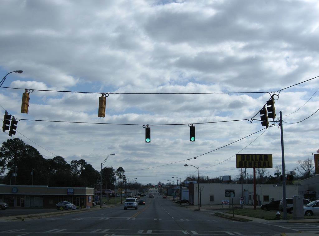
A number of traveler services line U.S. 280 (16th Avenue) from Greer Street east into the diamond interchange with Interstate 75.
03/15/10
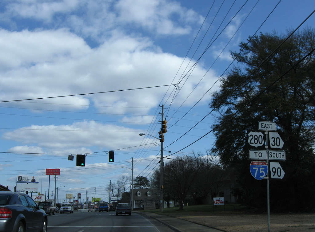
Interstate 75 skims eastern reaches of the Cordele city limits south to SR 300 (Exit 99) and north to SR 257 (Exit 102).
03/15/10
U.S. 280-SR 30 east / SR 90 south reach the entrance ramp for I-75 south to Tifton, Valdosta and Tampa, Florida. Business Loop I-75 concluded here.
03/15/10
Photo Credits:
- Brent Ivy: 12/27/09
- ABRoads: 03/15/10
Connect with:

Page Updated Monday November 04, 2013.