
Interstate 95 South - Elkton to Perryville

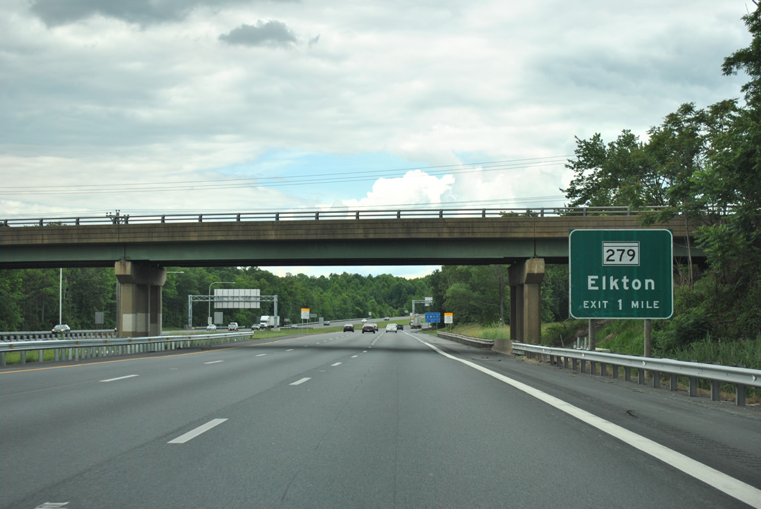
The first exit for southbound I-95 in Maryland is with MD 279 to Elkton and U.S. 40. This non-reflective sign was located within Delaware at the Otts Chapel Road overpass.
06/06/12
06/06/12
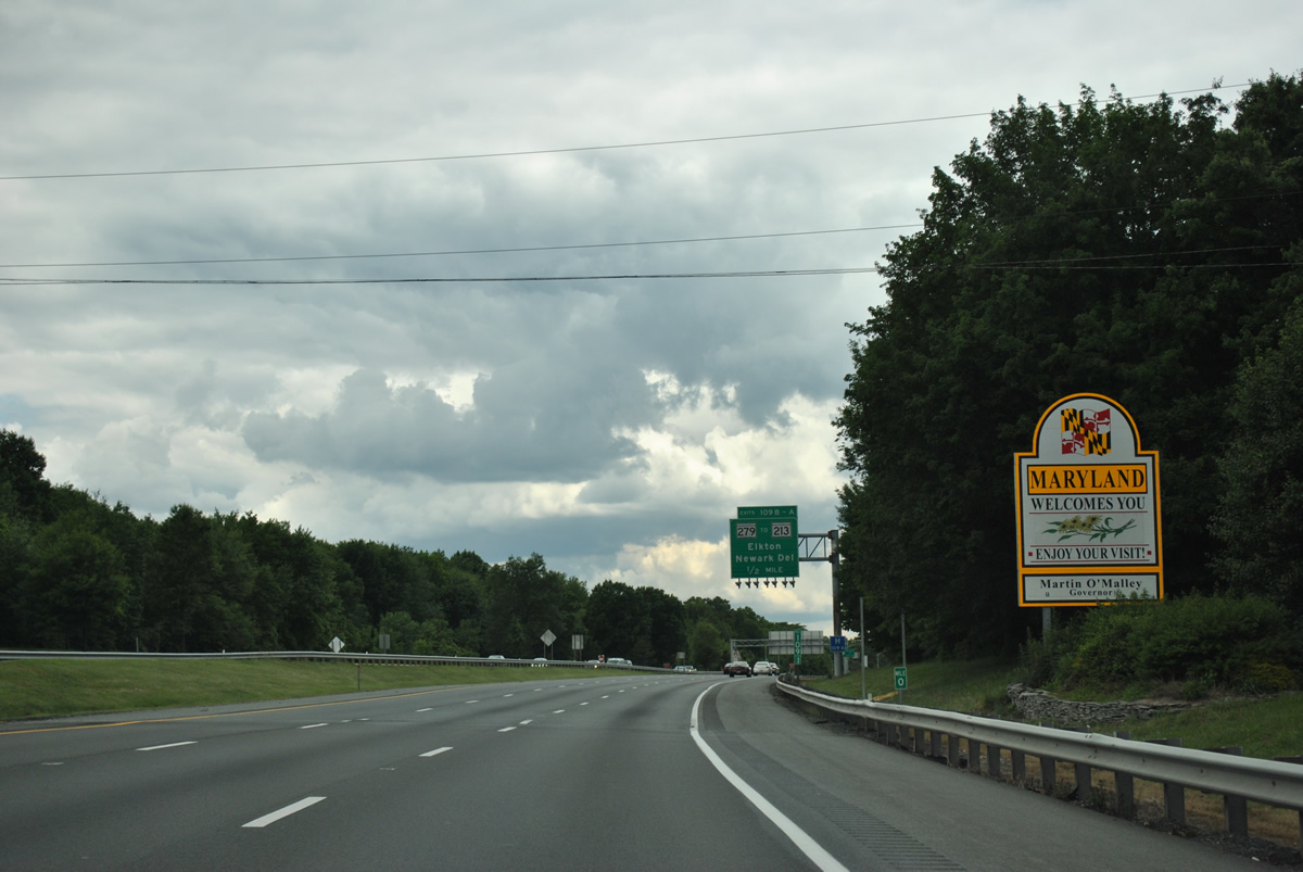
The Maryland welcome sign stands next to Delaware milepost zero. I-95 extends another 46 miles along the John F. Kennedy Memorial Highway to the Baltimore city line.
06/06/12
06/06/12
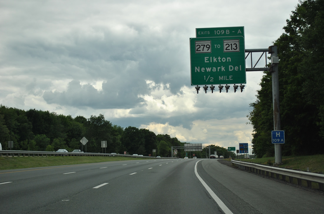
MD 279 (Elkton Road) crosses paths with Interstate 95 at a cloverleaf interchange (Exits 109B/A) in one half mile.
06/06/12
06/06/12
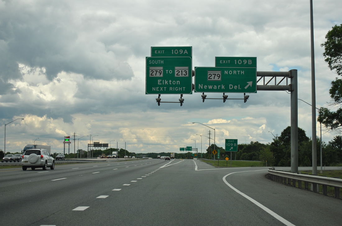
MD 279 (Elkton Road) leads southwest along a four lane expressway into Elkton. Northeastward, MD 279 transitions to SR 279 en route to Newark, Delaware.
06/06/12
06/06/12
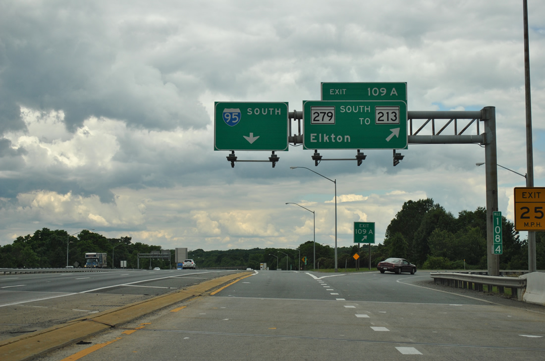
MD 279 (Newark Avenue) south connects I-95 with MD 213 (Bridge Street) north of Downtown Elkton. MD 213 runs north from Elkton to Fair Hill and PA 841 at Lewisville and south to Chesapeake City and Cecilton.
06/06/12
06/06/12
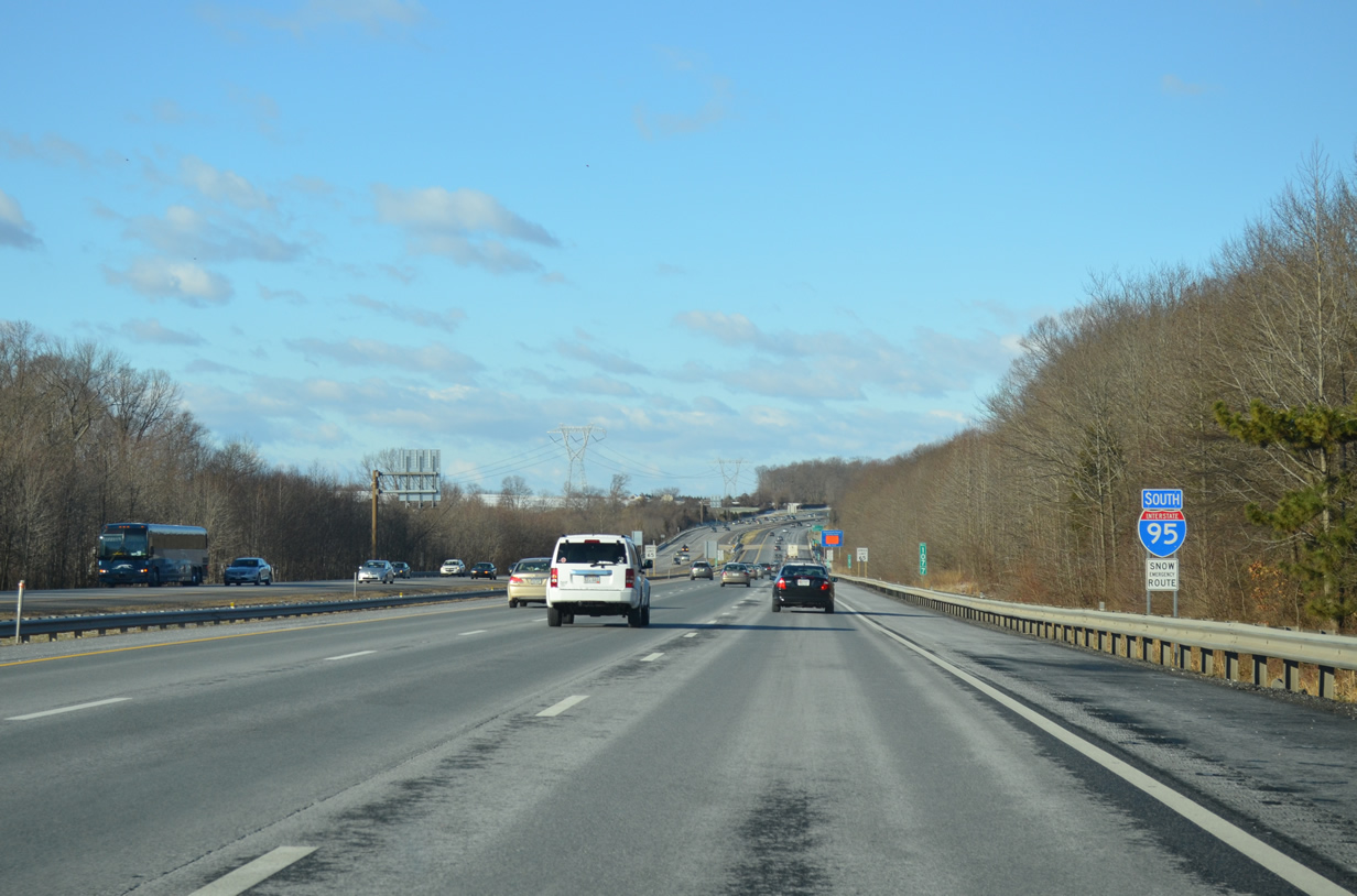
The first confirming marker for I-95 south in Maryland stands between the MD 316 (Appleton Road) overpass and Big Elk Creek.
12/30/12
12/30/12
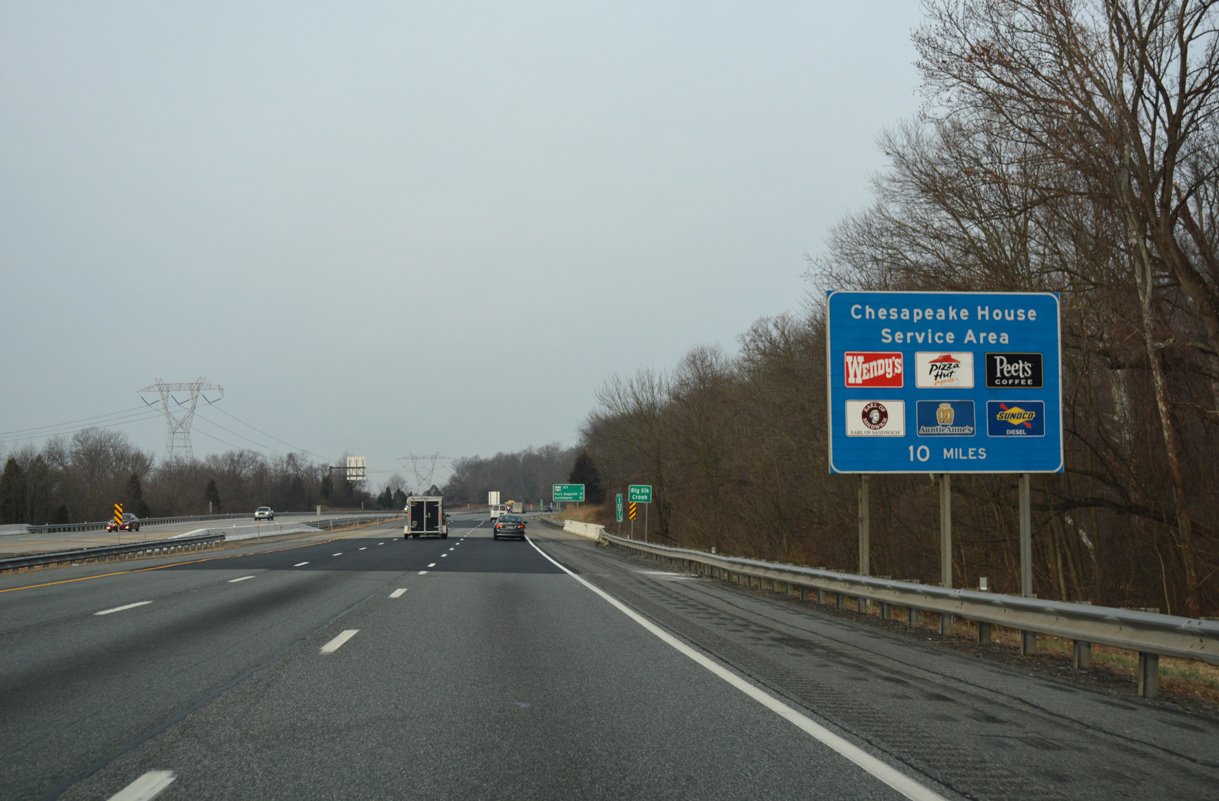
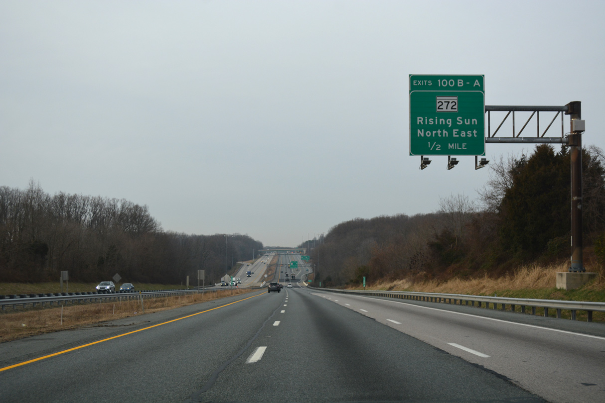
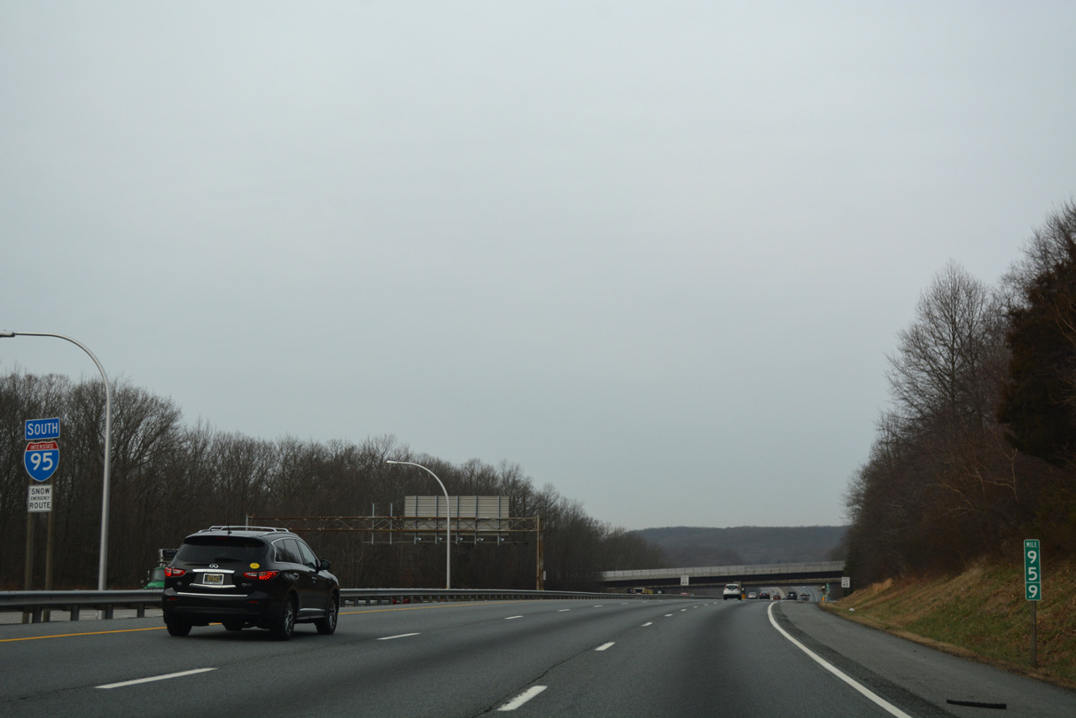
Interstate 95 undulates through a series of S curves 6.8 miles west to MD 272 (Exits 100B/A) and ten miles to the Chesapeake House Service Area.
01/04/19
01/04/19
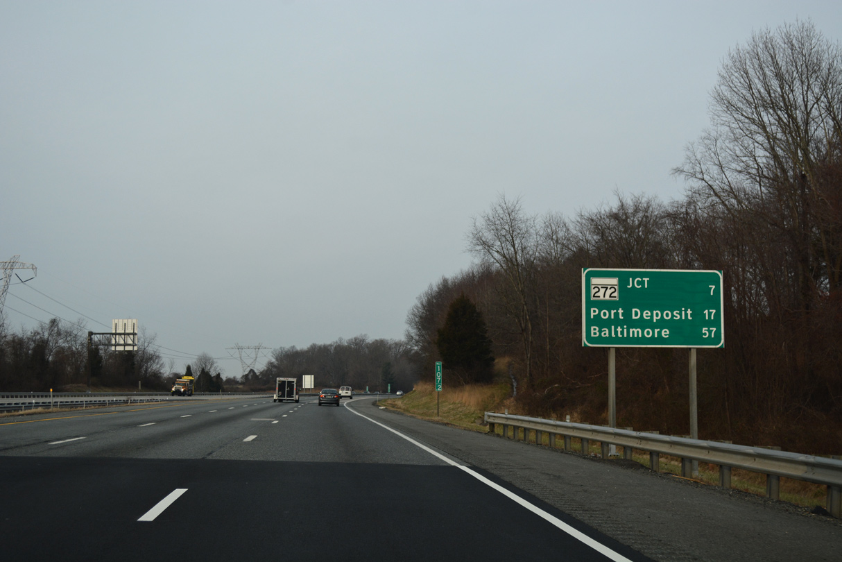
The town of Port Deposit lies along the Susquehanna River and west side of Cecil County in 17 miles. I-95 sign replacements made in 2012 switched Perryville with Port Deposit here.
01/04/19
01/04/19
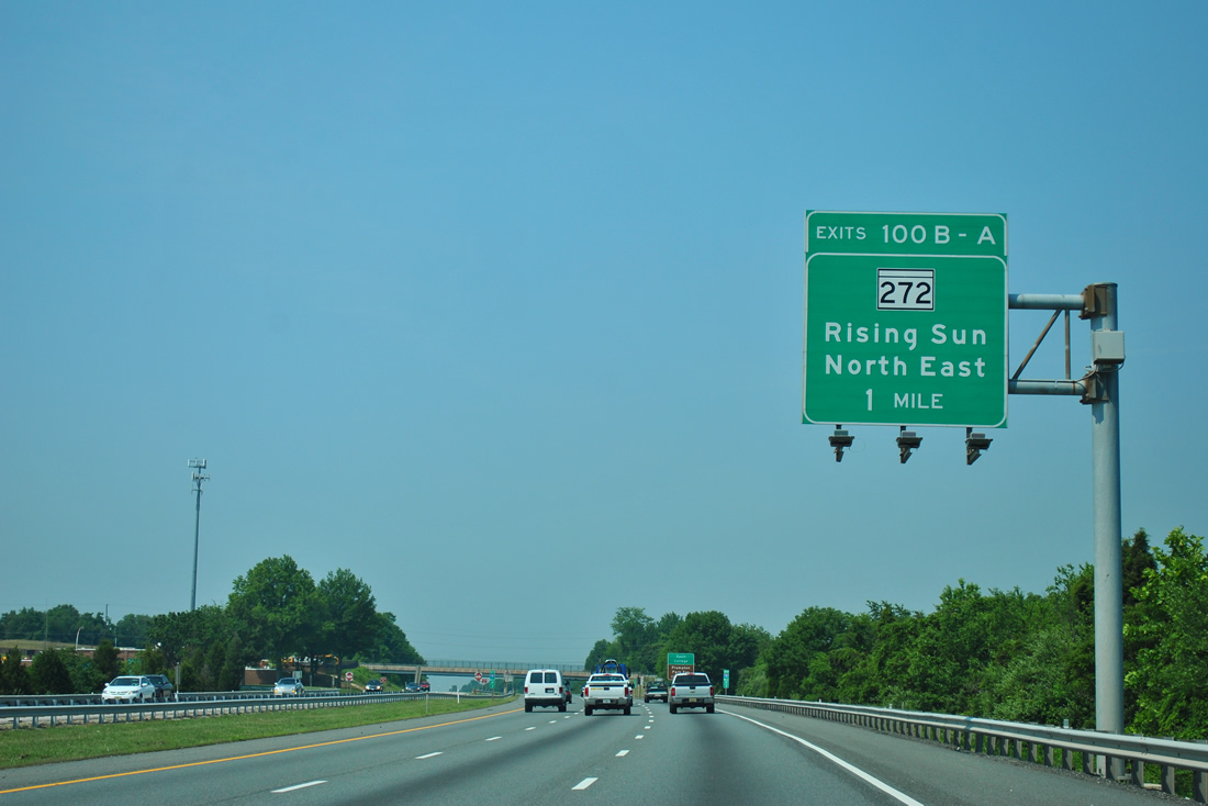
One mile east of the six-ramp parclo interchange with MD 272 (North East Road). MD 272 heads south through the town of North East to U.S. 40 (Pulaski Highway).
06/06/12
06/06/12
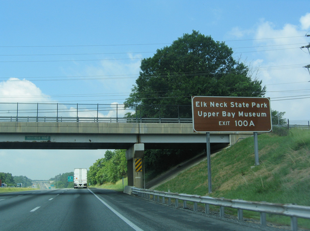
MD 272 spurs south along Elk Neck, a peninsula separating Chesapeake Bay from the Elk River, to Elk Neck State Park. The park is home of the historic Turkey Point Lighthouse, which overlooks Chesapeake Bay at the southern tip of Elk Neck.
06/01/04
06/01/04
MD 274 branches northwest from MD 272 (North East Road) just north of Interstate 95 at Bay View. MD 274 (Joseph Biggs Memorial Highway) angles northwest 7.35 miles to MD 273 at Rising Sun.
01/04/19
01/04/19
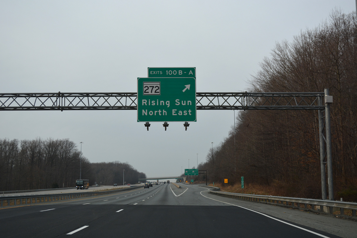
A collector distributor roadway separates from Interstate 95 southbound for Exits 100B/A. The diamond interchange with MD 272 was expanded to include two loop ramps during work between 1998 and 2000.
01/04/19
01/04/19
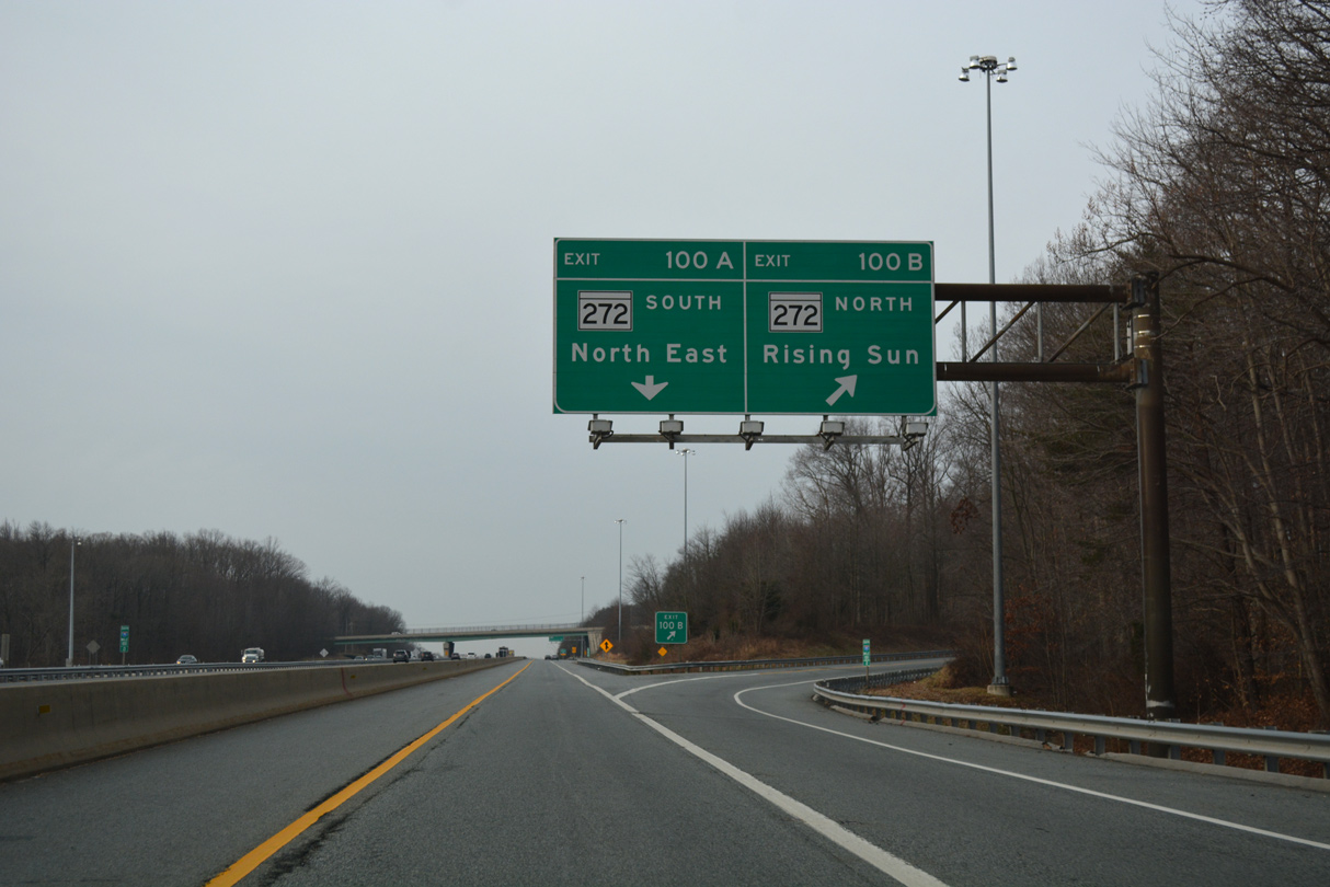
MD 272 north continues to MD 273 at Calvert and the Pennsylvania state line. PA 272 extends the highway from there past Nottingham to U.S. 222 at Wakefield en route to Lancaster along what was PA 72.
01/04/19
01/04/19
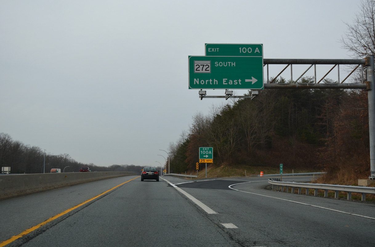
Exit 100A loops onto MD 272 (North East Road) south to a number of nearby business parks, big box retail at U.S. 40 (Pulaski Highway) and the North East business district at MD 7 (Cecil Avenue).
01/04/19
01/04/19

Leading away from North East, I-95 lowers across Stony Run before rising again to nearly 400 feet above sea level.
01/04/19
01/04/19
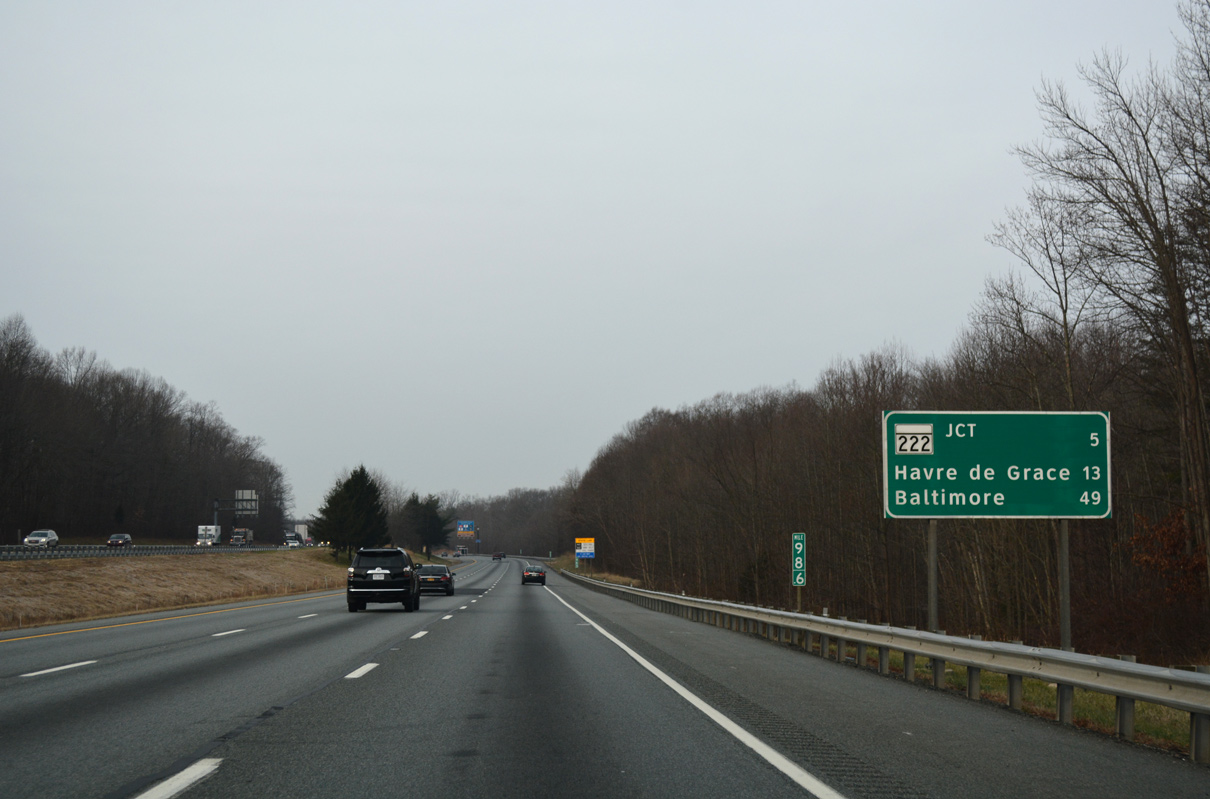
This distance sign was placed between June 6 and 20, 2012. The previous sign listed Havre De Grace at 11 miles and Aberdeen in place of Baltimore.
01/04/19
01/04/19

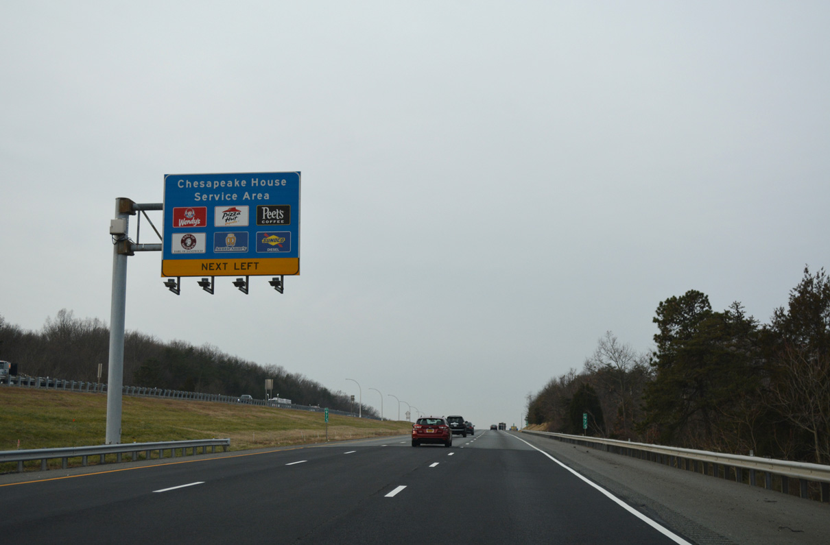
The approaching Chesapeake House Travel Plaza lies between the south and northbound roadways of I-95 at mile marker 98. This service area provides full services, including fuel, restrooms, food and tourist information.
01/04/19
01/04/19
The approaching Chesapeake House Travel Plaza lies between the south and northbound roadways of I-95 at mile marker 98. This service area provides full services, including fuel, restrooms, food and tourist information.
01/04/19
01/04/19
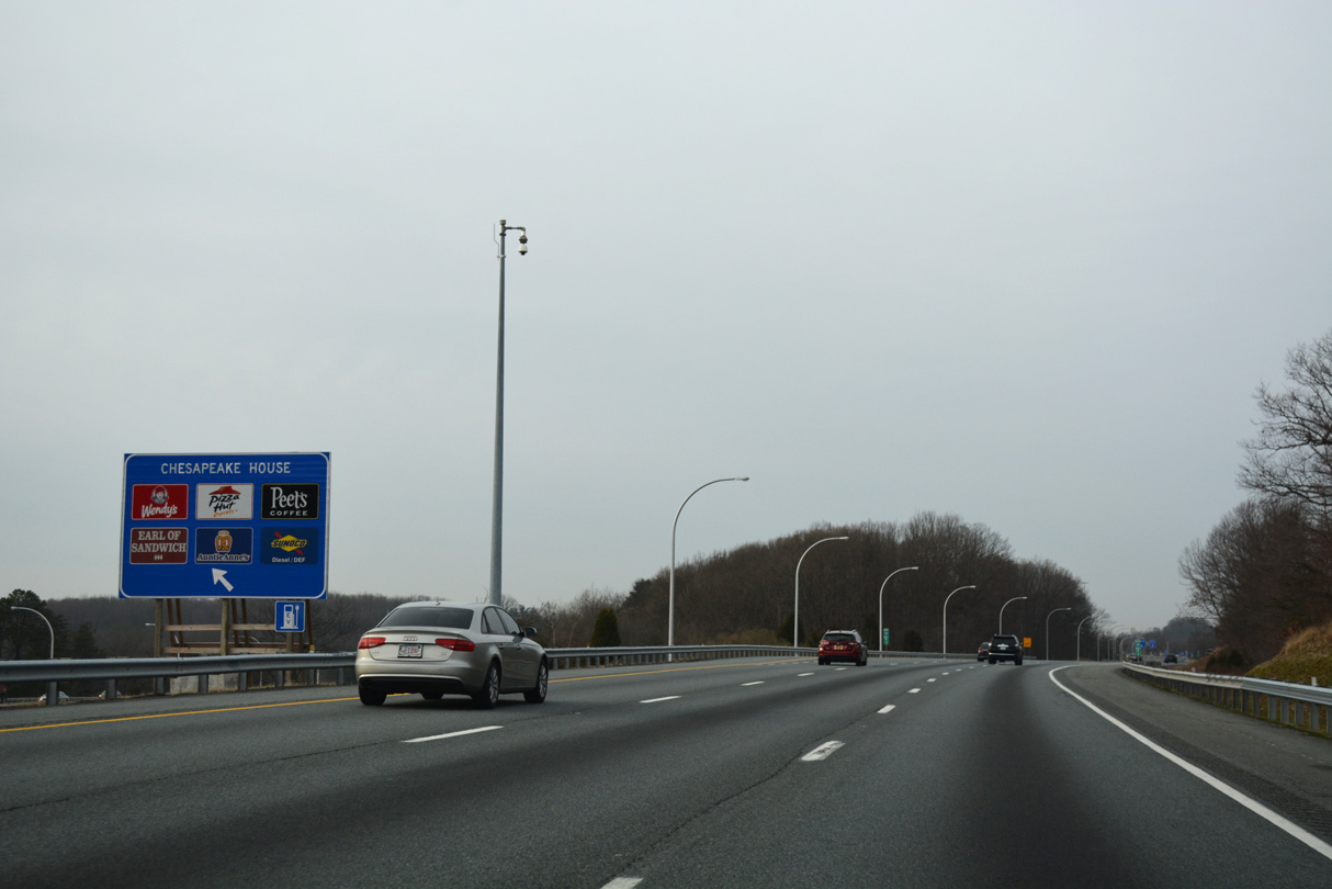
I-95 south reaches the left exit for the Chesapeake House. Opened in 1975, the service area closed in January 2014 for a $26 million renovation. The new 30,000 square-foot facility opened six weeks ahead of schedule on August 5.1
01/04/19
01/04/19
I-95 south reaches the left exit for the Chesapeake House. Opened in 1975, the service area closed in January 2014 for a $26 million renovation. The new 30,000 square-foot facility opened six weeks ahead of schedule on August 5.1
01/04/19
01/04/19
A new interchange will be built along I-95 with Belvidere Road. Cecil County was awarded a $20 million grant by the U.S. Department of Transportation in December 2018 for the new exchange and relocation of Belvidere Road.2 The exit will support expansion of Principio Business Park along U.S. 40.
01/04/19
01/04/19
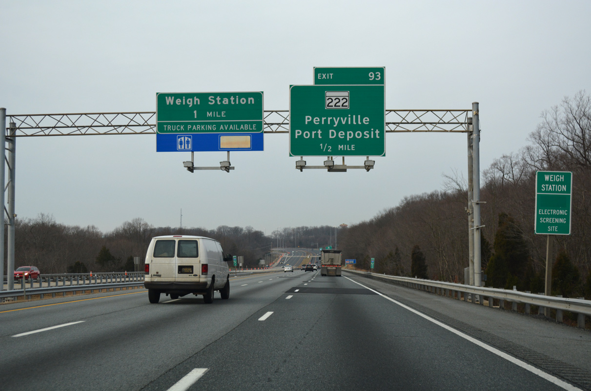
The succeeding exit along southbound I-95 from the Chesapeake House Travel Plaza is with MD 222.
01/04/19
01/04/19
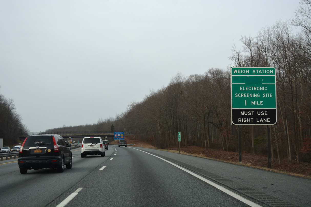
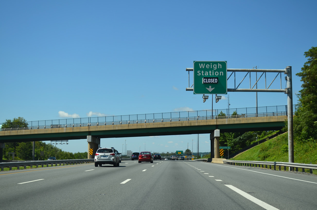
A truck weigh station operates just beyond the forthcoming exchange with MD 222.
01/04/19
01/04/19
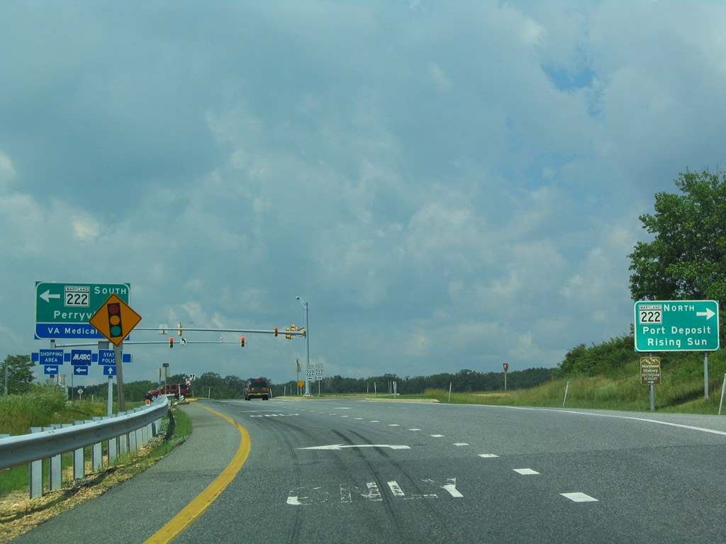
MD 222 follows a narrow, winding course between Port Deposit and U.S. 1 along the Susquehanna River.
01/04/19
01/04/19
MD 222 is former U.S. 222, which was decommissioned south from U.S. 1 at Conowingo to U.S. 40 (Pulaski Highway) at Perryville in 1995.
01/04/19
01/04/19

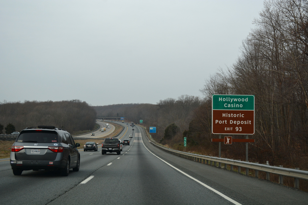
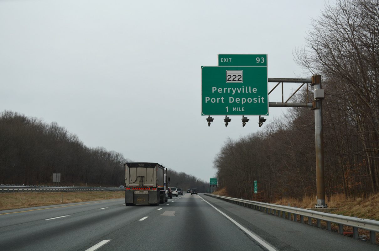
Entering the folded diamond interchange (Exit 93) with MD 222 (Perrylawn Drive) on Interstate 95 south. MD 222 heads 1.7 miles south through Aikin to U.S. 40 by the Thomas J. Hatem Memorial Bridge.
01/04/19
01/04/19
MD 276 extends Perrylawn Drive north from MD 222 (Bainbridge Road) near Craigtown. MD 276 connects Perryville with U.S. 1 near Rising Sun.
06/01/04
06/01/04
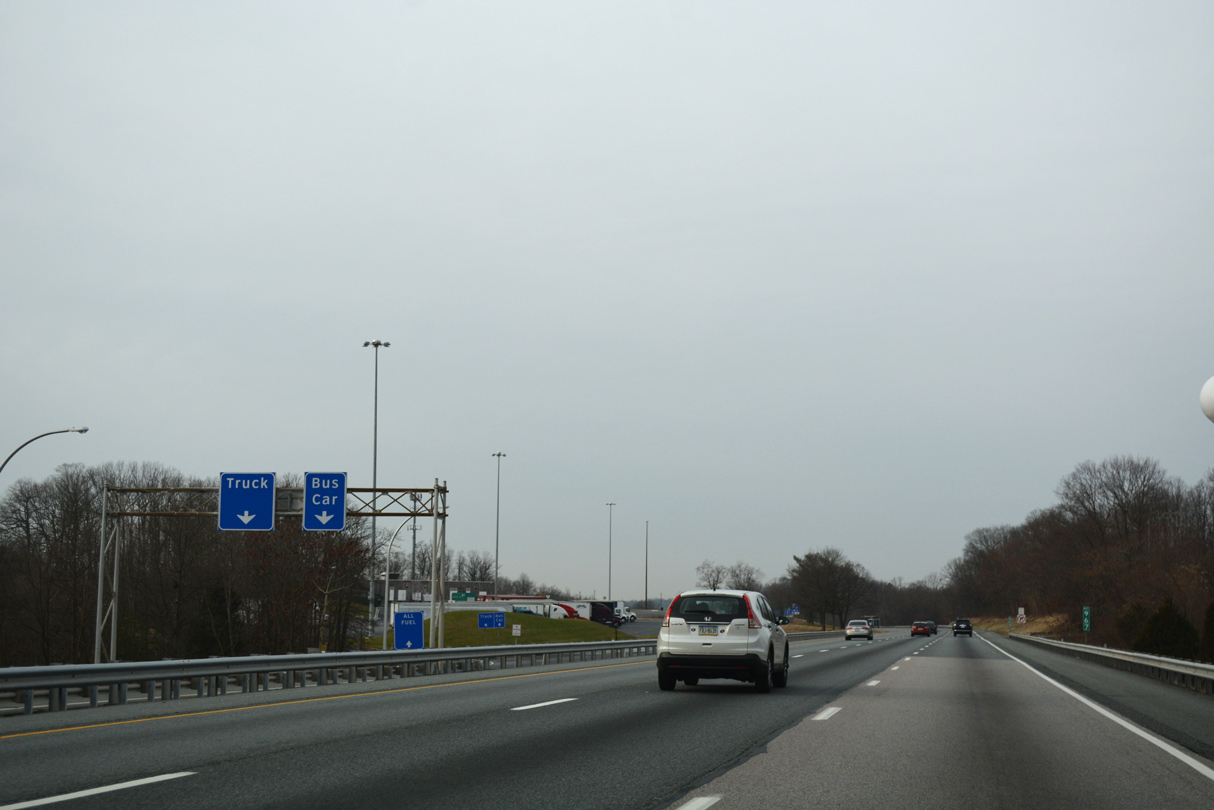
Weigh stations line both sides of Interstate 95 (JFK Memorial Highway) by the Tydings Bridge Toll Plaza west of MD 222.
08/04/13
08/04/13
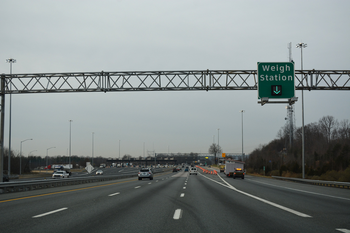
Weigh stations line both sides of Interstate 95 (JFK Memorial Highway) by the Tydings Bridge Toll Plaza west of MD 222.
01/04/19
01/04/19
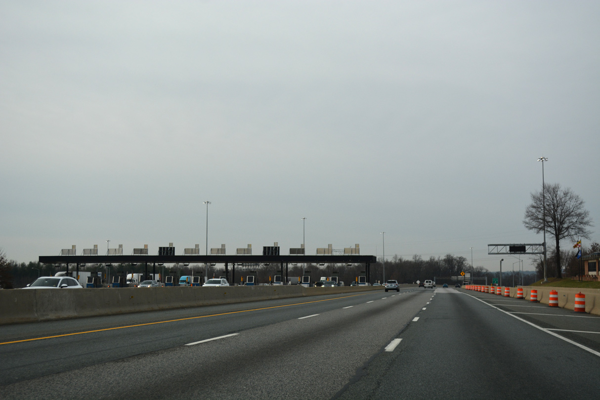
Tolls were collected in both directions of Interstate 95 at the Milard E. Tydings Bridge between 1963 and 1991. Tolls were doubled northbound and dropped from southbound in October 1991.
01/04/19
01/04/19
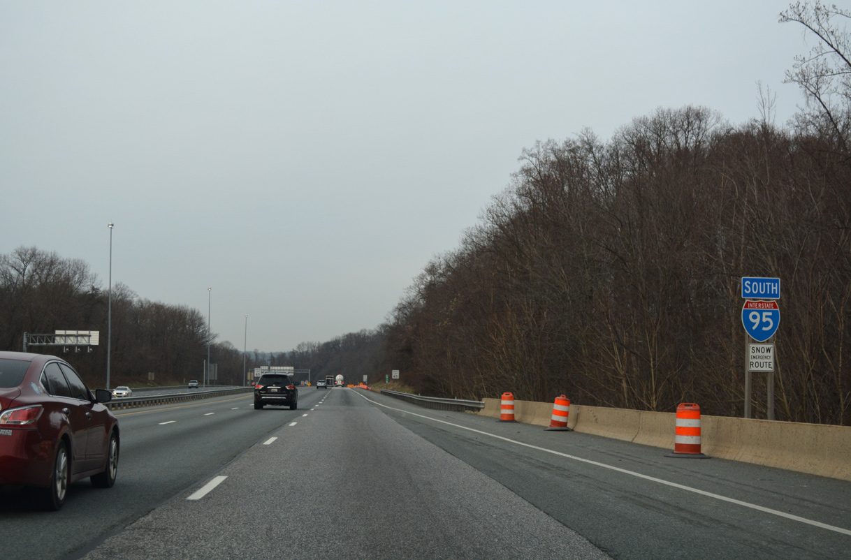
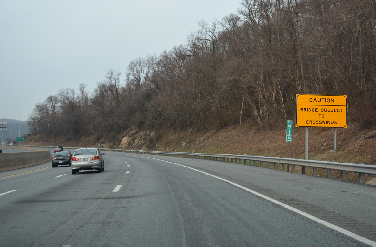
Interstate 95 spans Frenchtown Road ahead of this reassurance marker.
01/04/19
01/04/19
Interstate 95 crosses the Susquehanna River over the Millard E. Tydings Memorial Bridge. Constructed in 1962-1963, the deck truss bridge opened as part of the John F. Kennedy Highway (formerly Northeastern Expressway) in November 1963.
01/04/19
01/04/19
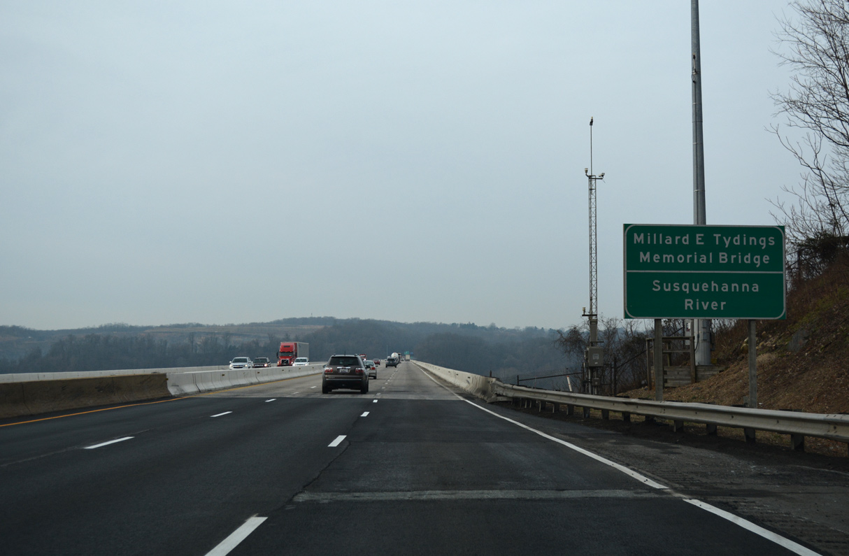
Interstate 95 crosses the Susquehanna River over the Millard E. Tydings Memorial Bridge. Constructed in 1962-1963, the deck truss bridge opened as part of the John F. Kennedy Highway (formerly Northeastern Expressway) in November 1963.
01/04/19
01/04/19
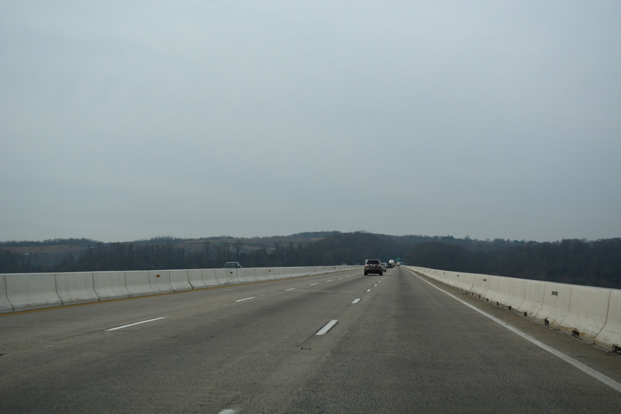
The Millard E. Tydings Memorial Bridge accommodates six overall lanes on a 87.3 wide deck. The 5,061 foot long span passes 89.9 feet above the Susquehanna River.3
01/04/19
01/04/19
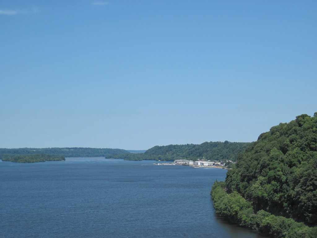
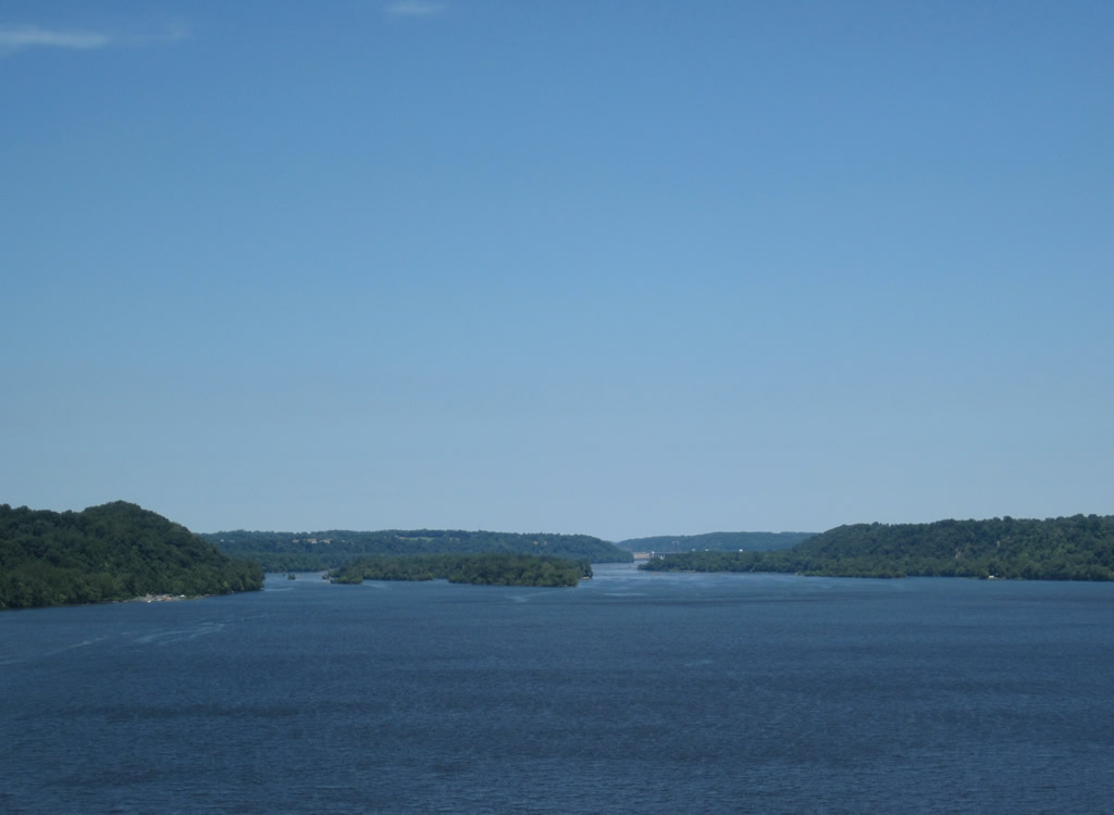
Spencer and Robert Islands rise midway across the Susquehanna River, northwest of the Tydings Bridge and Port Deposit. Much of the land to the west and Robert Island north toward Conowingo Dam fall within Susquehanna State Park.
06/30/10
06/30/10
Spencer and Robert Islands rise midway across the Susquehanna River, northwest of the Tydings Bridge and Port Deposit. Much of the land to the west and Robert Island north toward Conowingo Dam fall within Susquehanna State Park.
06/30/10
06/30/10
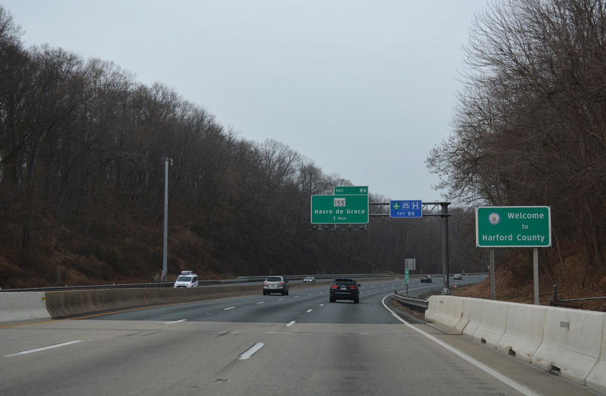
Interstate 95 formally enters Harford County two thirds of the way across the Millard Tydings Bridge. A county line sign stands at the west end of the span.
01/04/19
01/04/19
References:
- "Chesapeake House Travel Plaza Reopens Today." WBAL NewsRadio (Baltimore, MD), August 5, 2014.
- "Md. gets $20 million for new I-95 interchange for Amazon, other companies." Delaware Business Now, December 10, 2018.
- I-95 over SUSQUEHANNA RIVER,PA RR, Harford County, Maryland. http://bridgereports.com/1244660BridgeReports.com
Photo Credits:
- Alex Nitzman: 06/30/10, 06/06/12, 01/04/19
- AARoads: 12/30/12, 08/04/13
- Andy Field: 06/01/04
Connect with:
Page Updated Wednesday June 24, 2020.