
Interstate 195

I-195, a 44.55 mile spur from Providence, Rhode Island east to Falls River, New Bedford and Wareham, Massachusetts was, was initially planned as Interstate 95E. In addition to serving the aforementioned cities, Interstate 195, in conjunction with Route 25 and U.S. 6 (Mid-Cape Highway), serves Barnstable County and the greater Cape Cod resort areas.
Interstate 195 Massachusetts Guides
East - 45 photos
Construction commenced on I-195 in 1958 from Providence east to New Bedford, Massachusetts. The original 25.8 mile long extent of the Interstate to Massachusetts Route 18 was completed in 1966. The freeway east from New Bedford to Wareham was proposed as relocation of U.S. 6 until 1968, when I-195 was applied to the future route. Work extended the freeway east 14.3 miles from Route 18 to Interstate 495 between 1968 and 1974.1
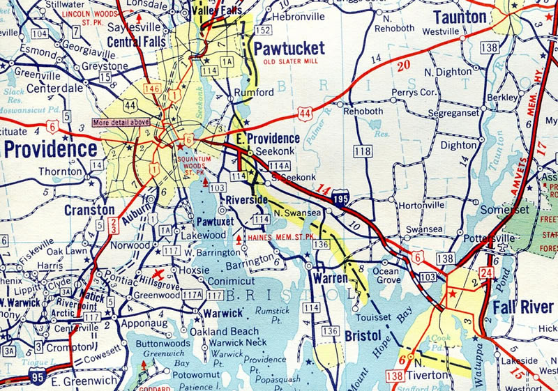
Interstate 195 between Providence, RI and Fall River - 1961 I-195 opened initially between the state line and U.S. 6/Route 118 in 1960. Construction east through Fall River continued to 1965.¹
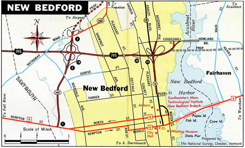
New Bedford - 1971 The exit numbering convention for I-195 extended the sequence from Rhode Island until 1974, when numbers were reset at the Massachusetts state line.¹
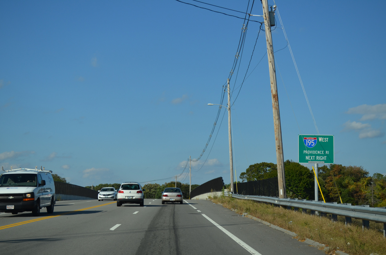
Route 114A (Fall River Avenue) winds north from a commercial area at U.S. 6 to cross paths with I-195 at the westernmost interchange in the Bay State.
10/06/14
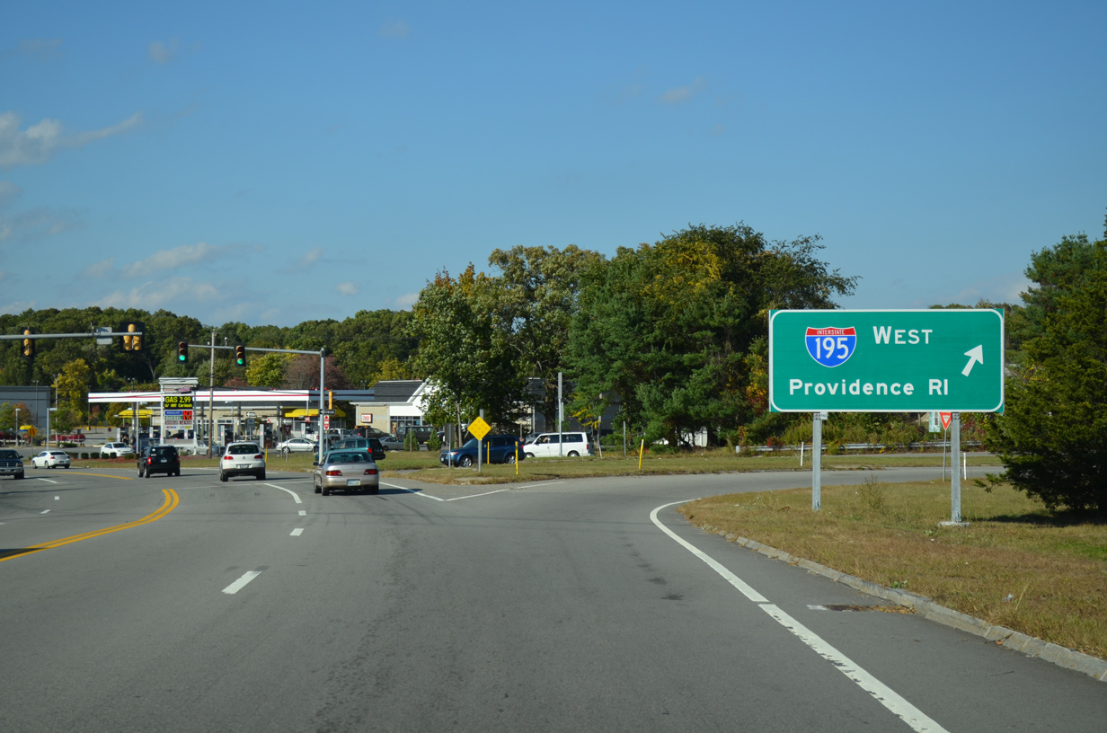
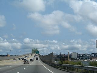
A loop ramp joins I-195 west leading to East Providence and Downtown Providence, Rhode Island. A parclo interchange joins the state route with the freeway below.
10/06/14
References:
- Interstate 195 Massachusetts. BostonRoads.com.
Photo Credits:
- ABRoads: 10/06/14
Connect with:
Page Updated Friday January 23, 2015.